







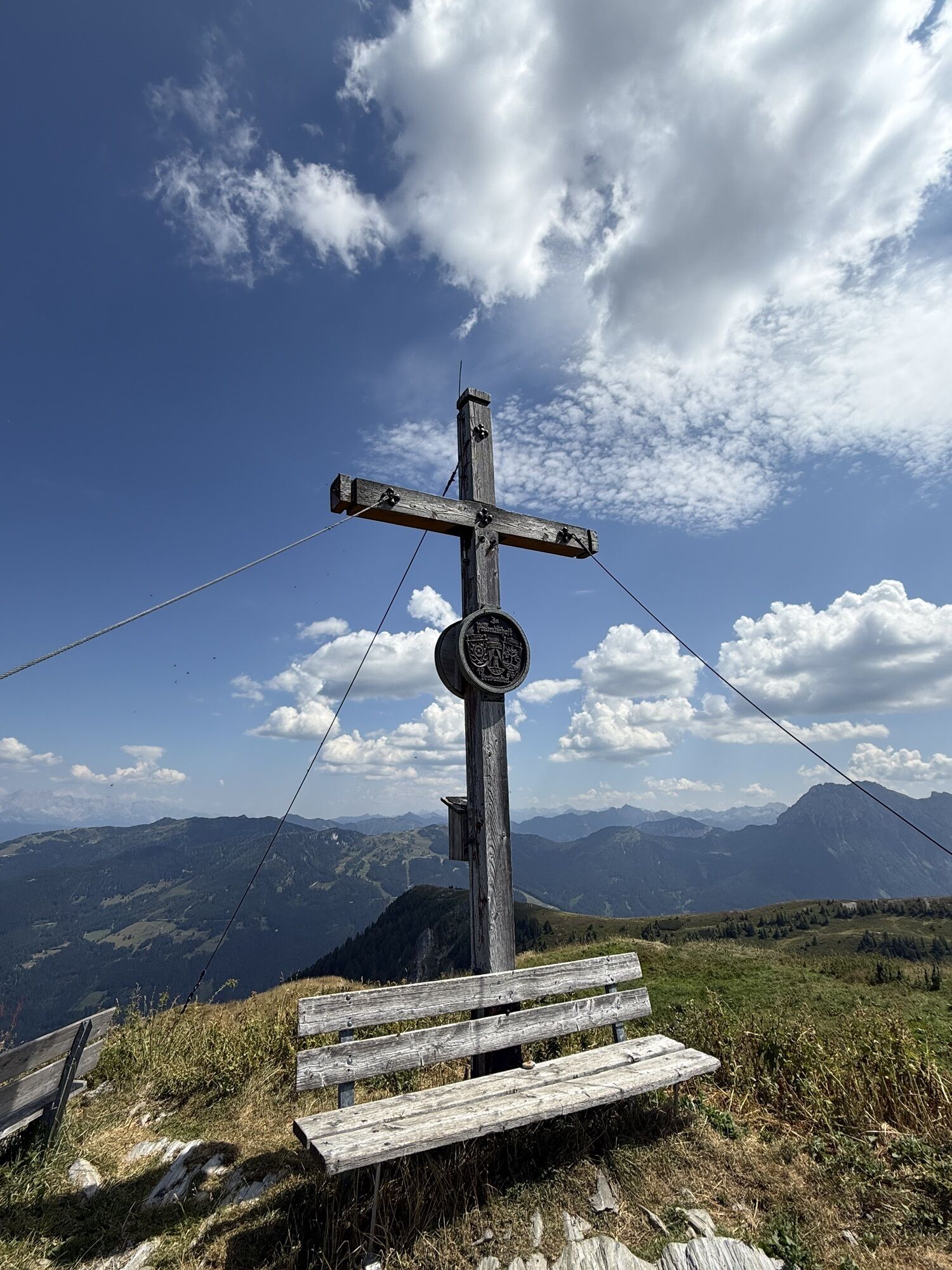
Großarl: Kitzstein (Gabel), 2,037 m
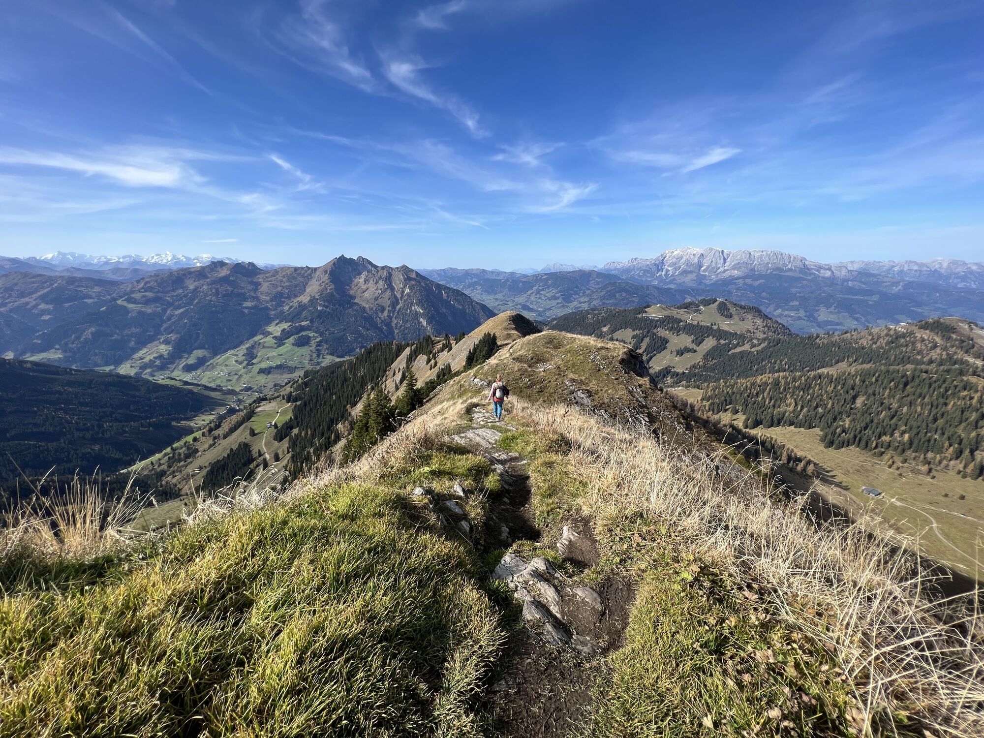
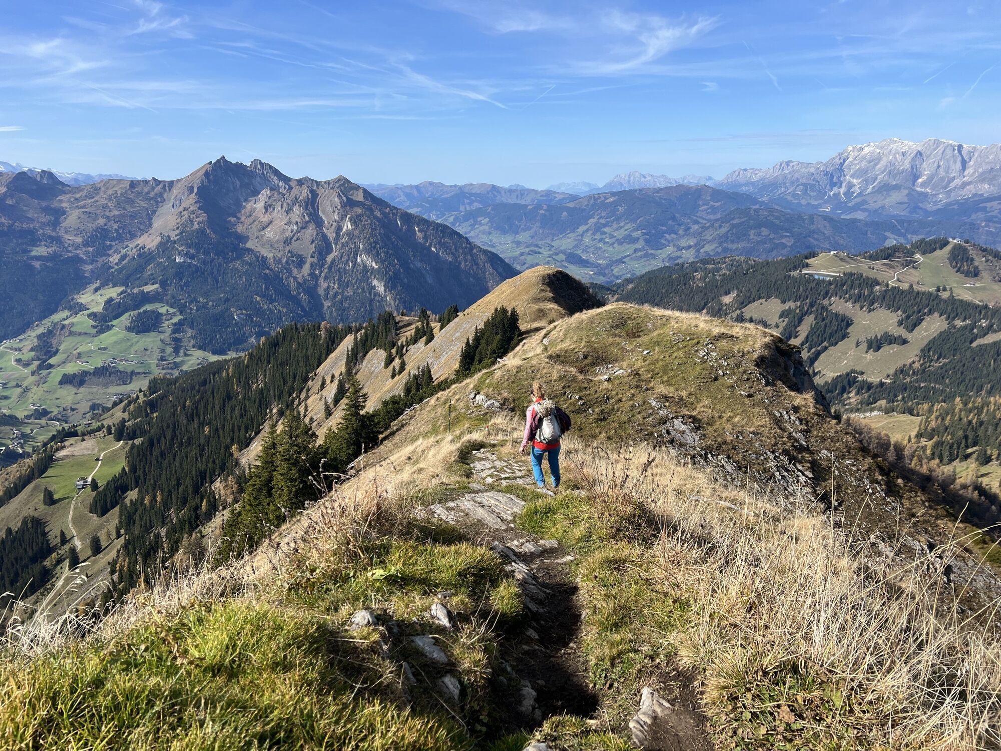
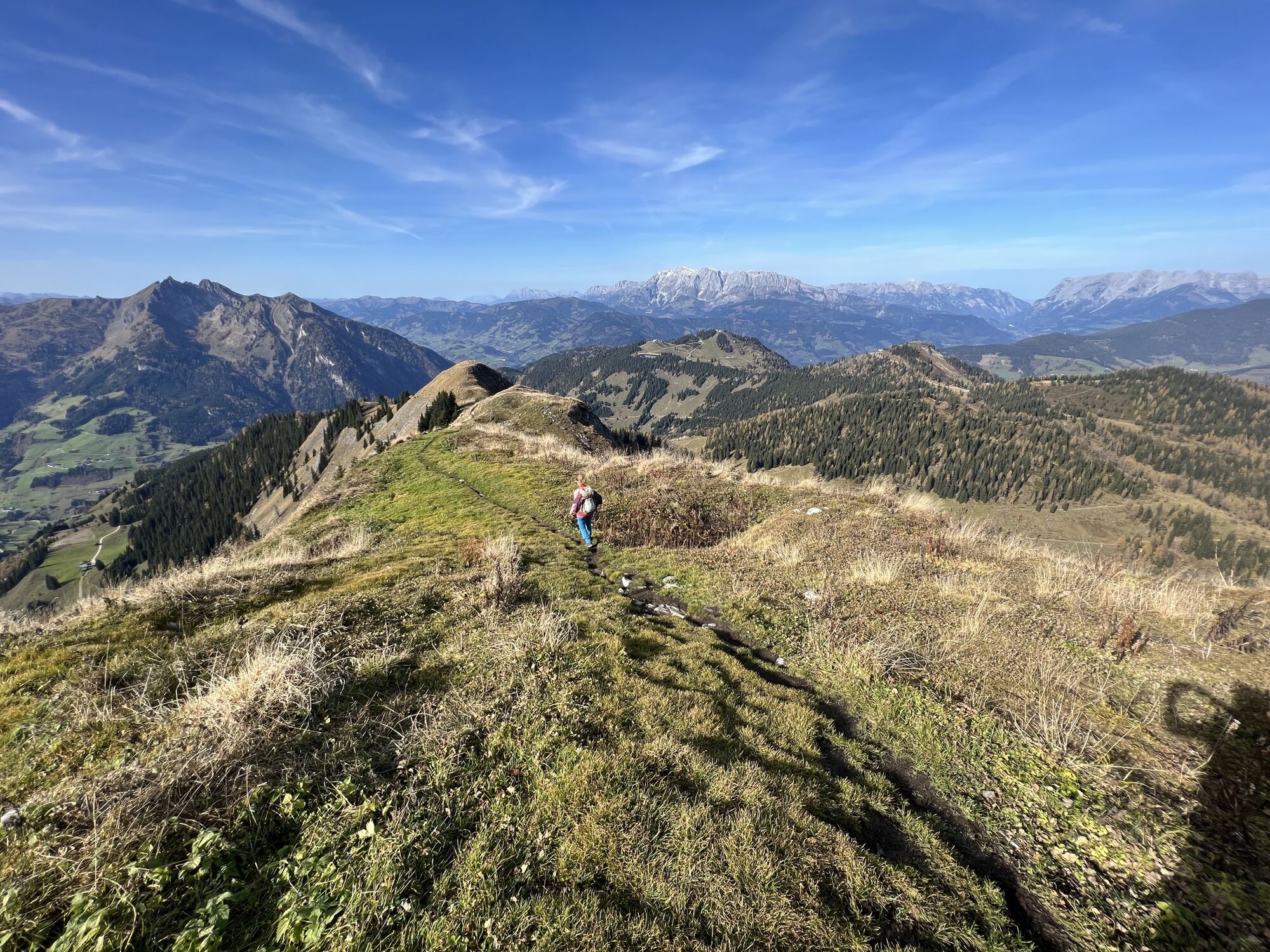
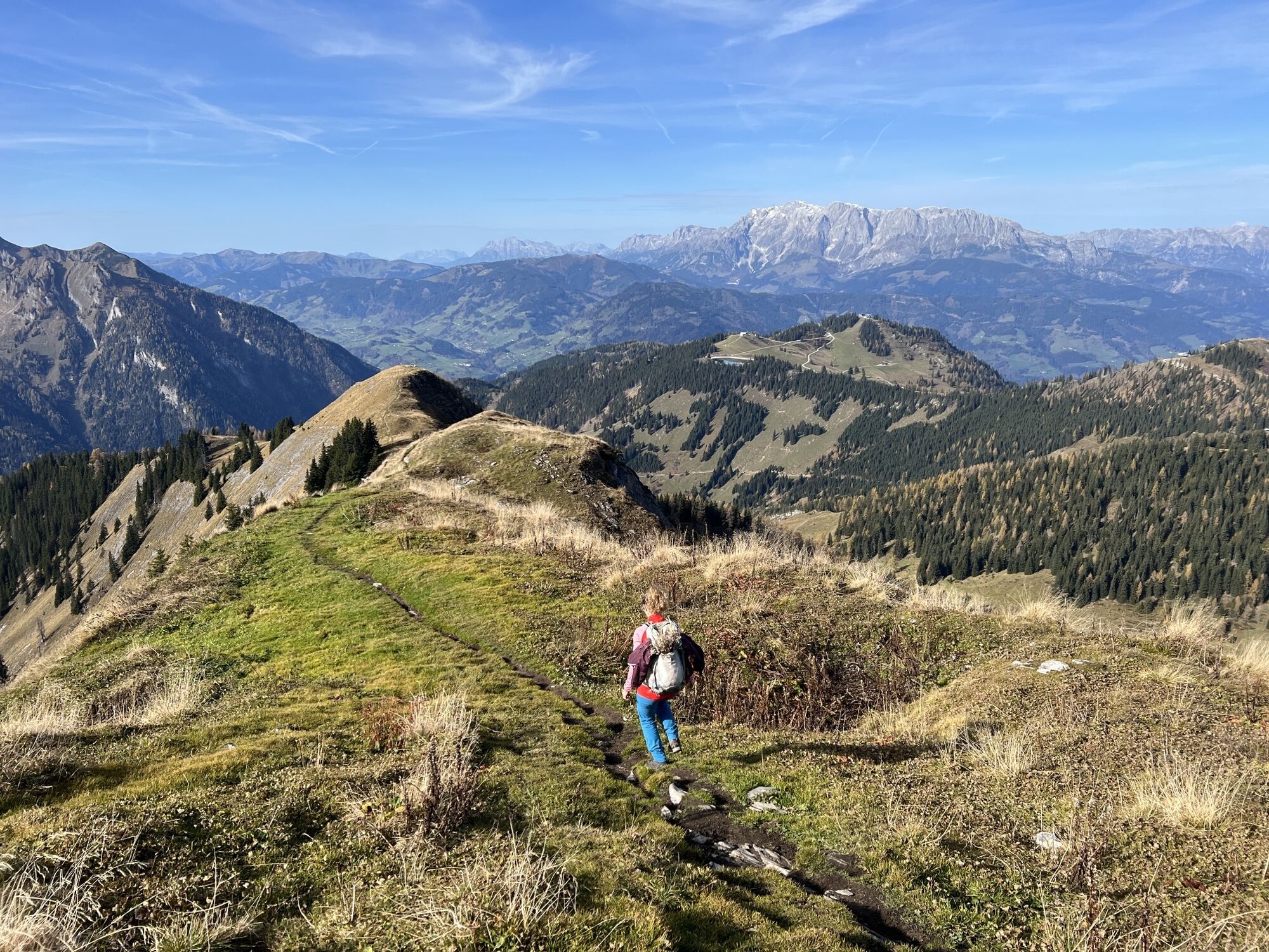
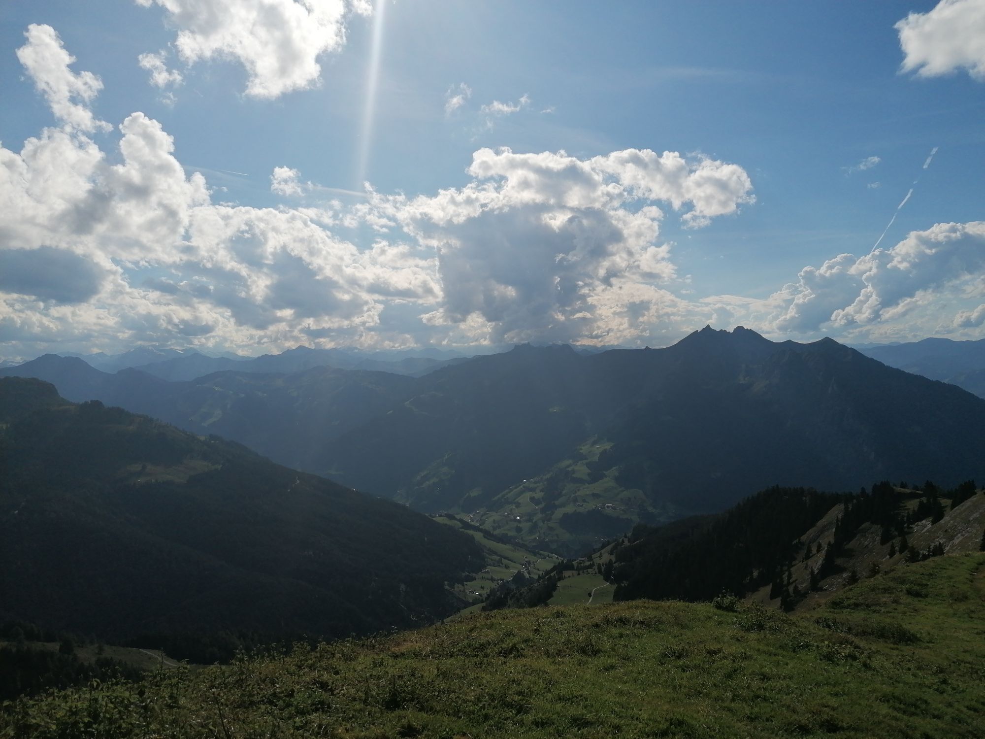
This very scenic ski tour is also like the tour to Penkkopf, the first reachable, and suitable as a warm-up route. From the Gabel, you have a wonderful view, on one side to the Hohe Tauern with the first...
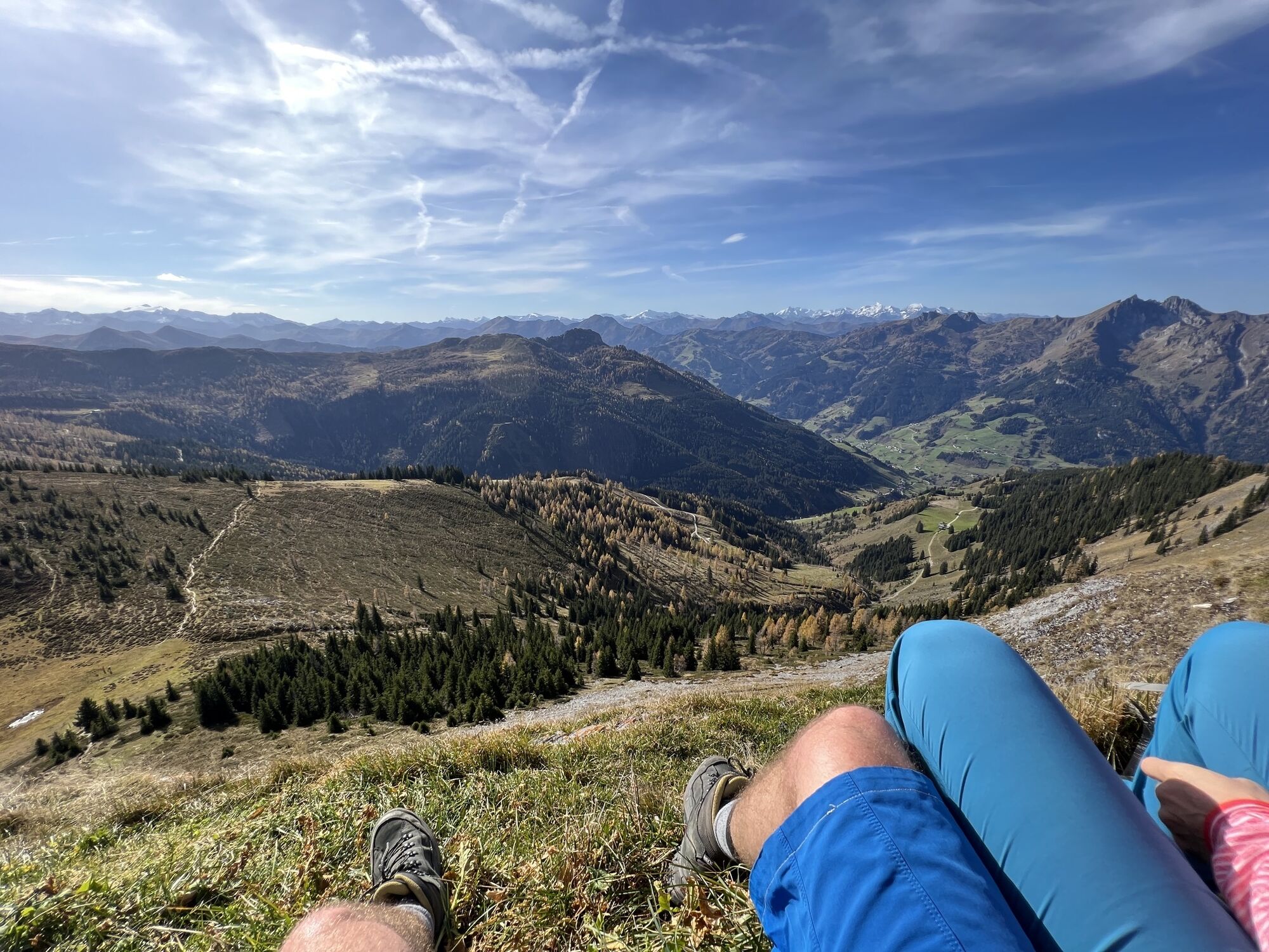
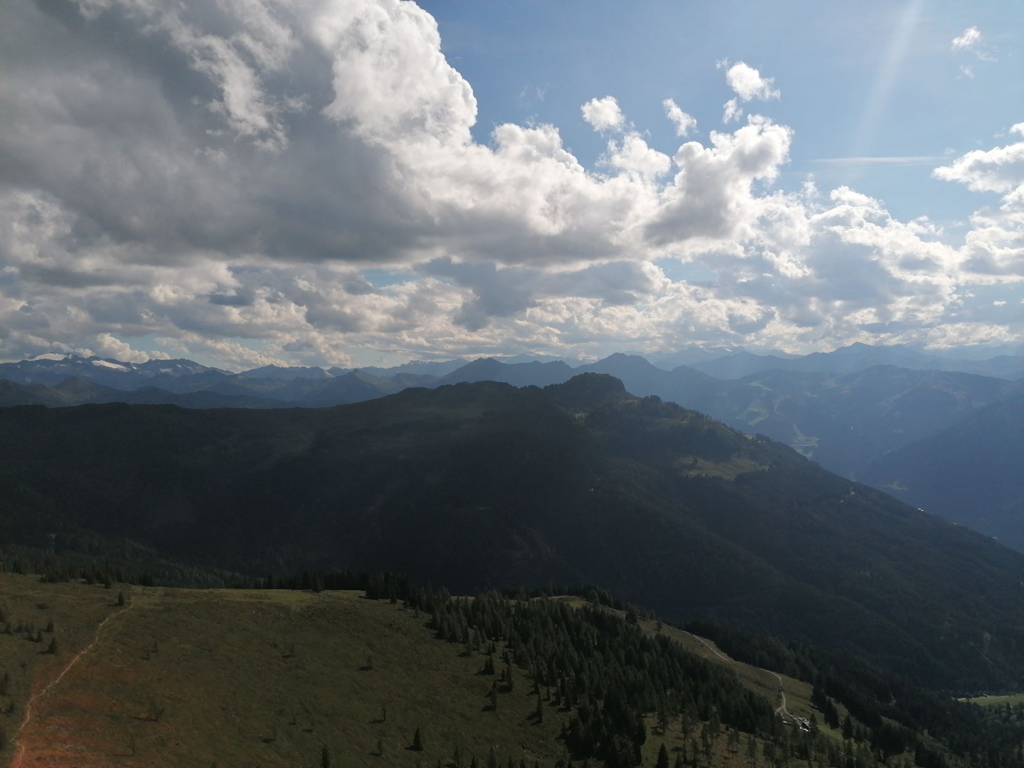
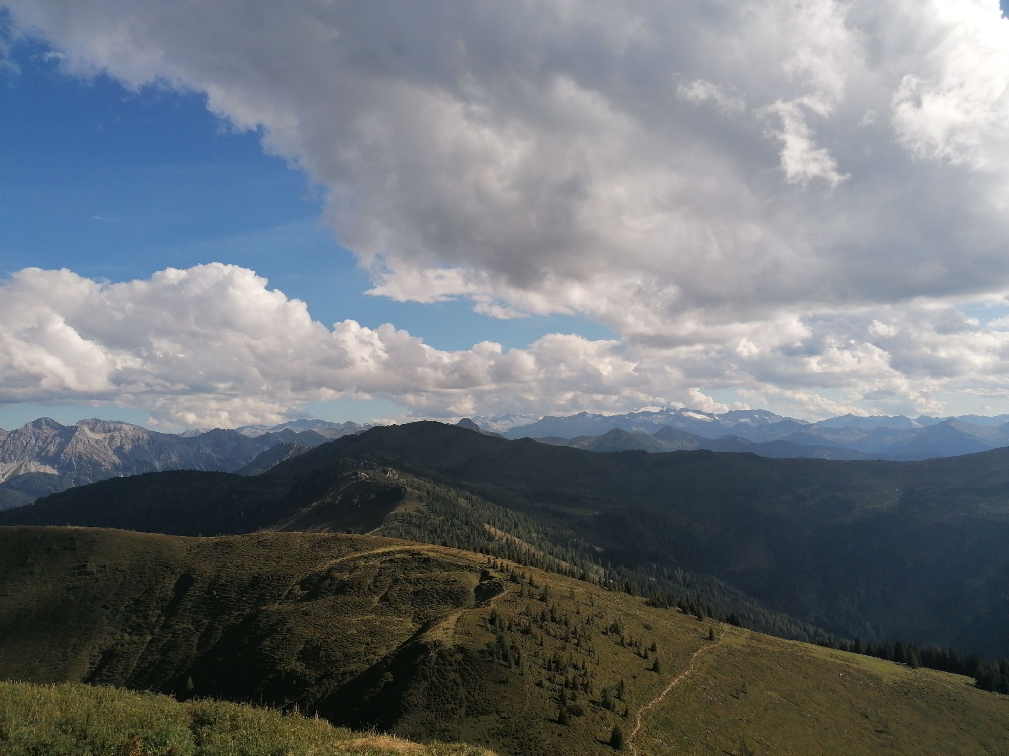
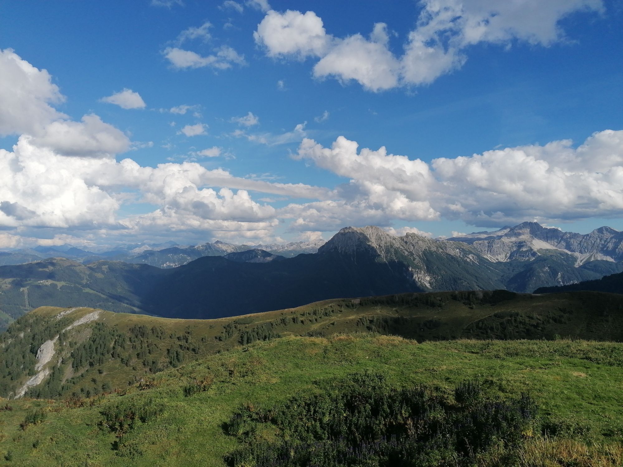
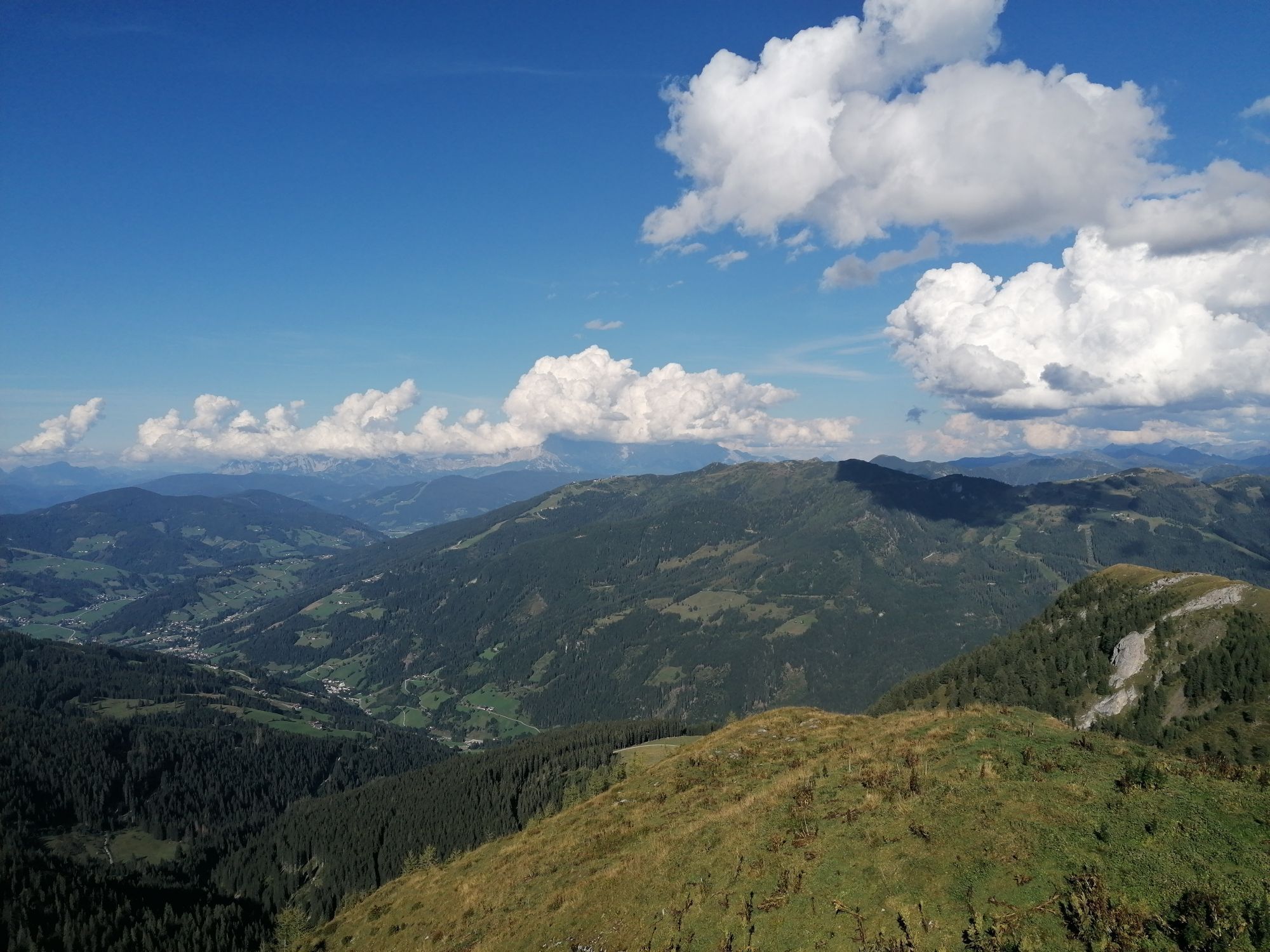
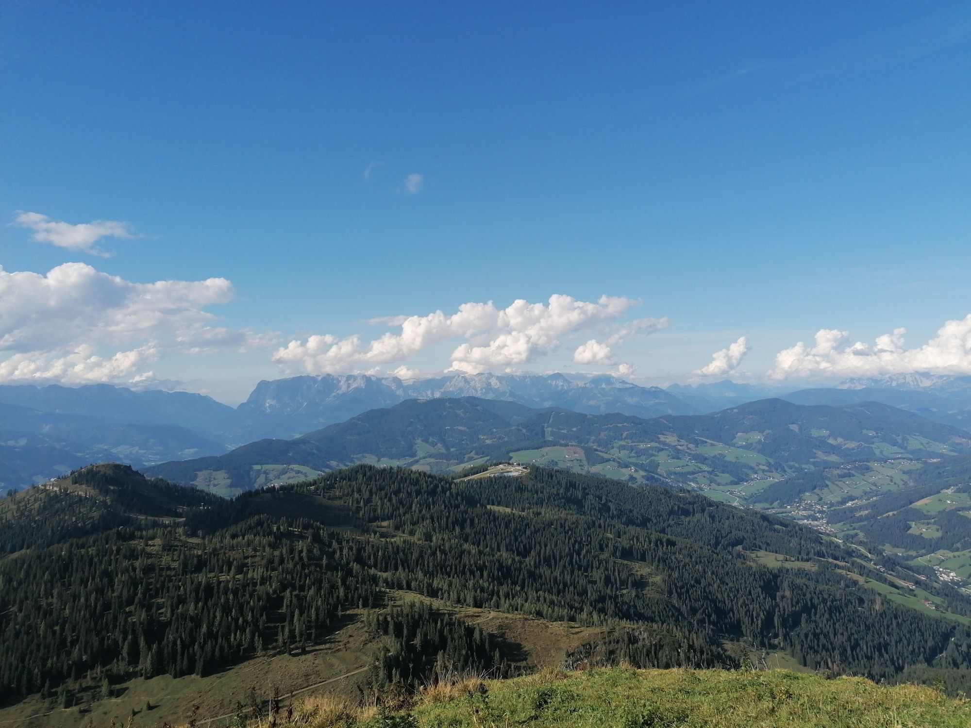
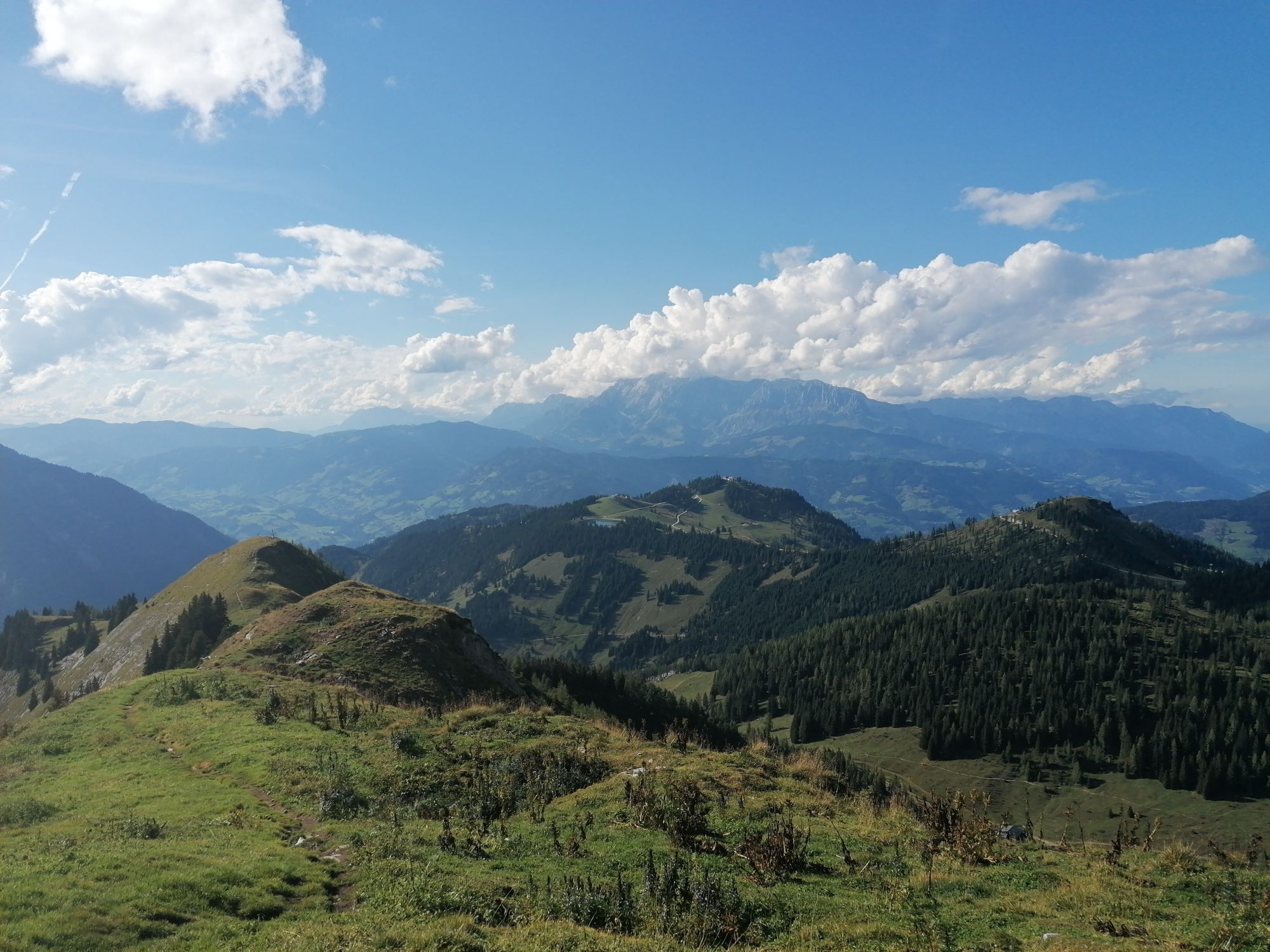
This very scenic ski tour is also like the tour to Penkkopf, the first reachable, and suitable as a warm-up route. From the Gabel, you have a wonderful view, on one side to the Hohe Tauern with the first three-thousander and on the other side to the Hochkönig, the Tennen & Hagen mountain ranges, and the Dachstein range.
This tour is also doable on bad weather days, but the steep summit slope should then be avoided.
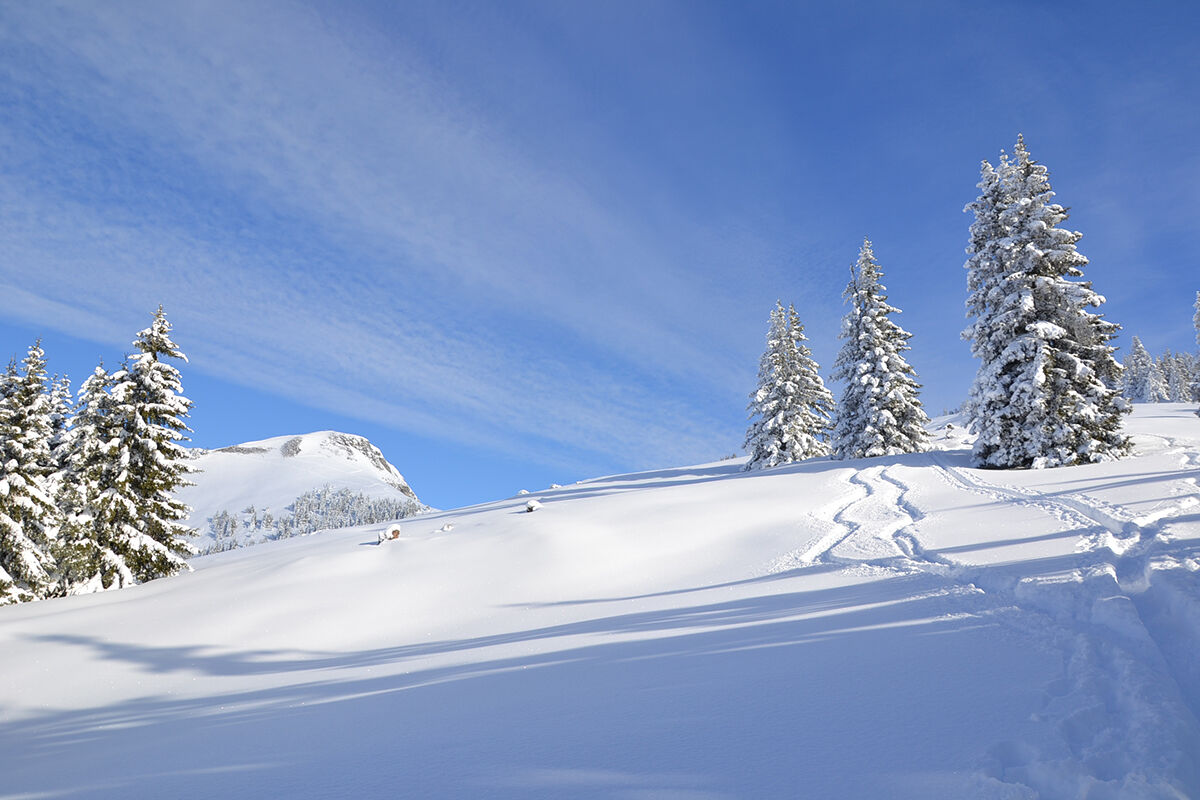
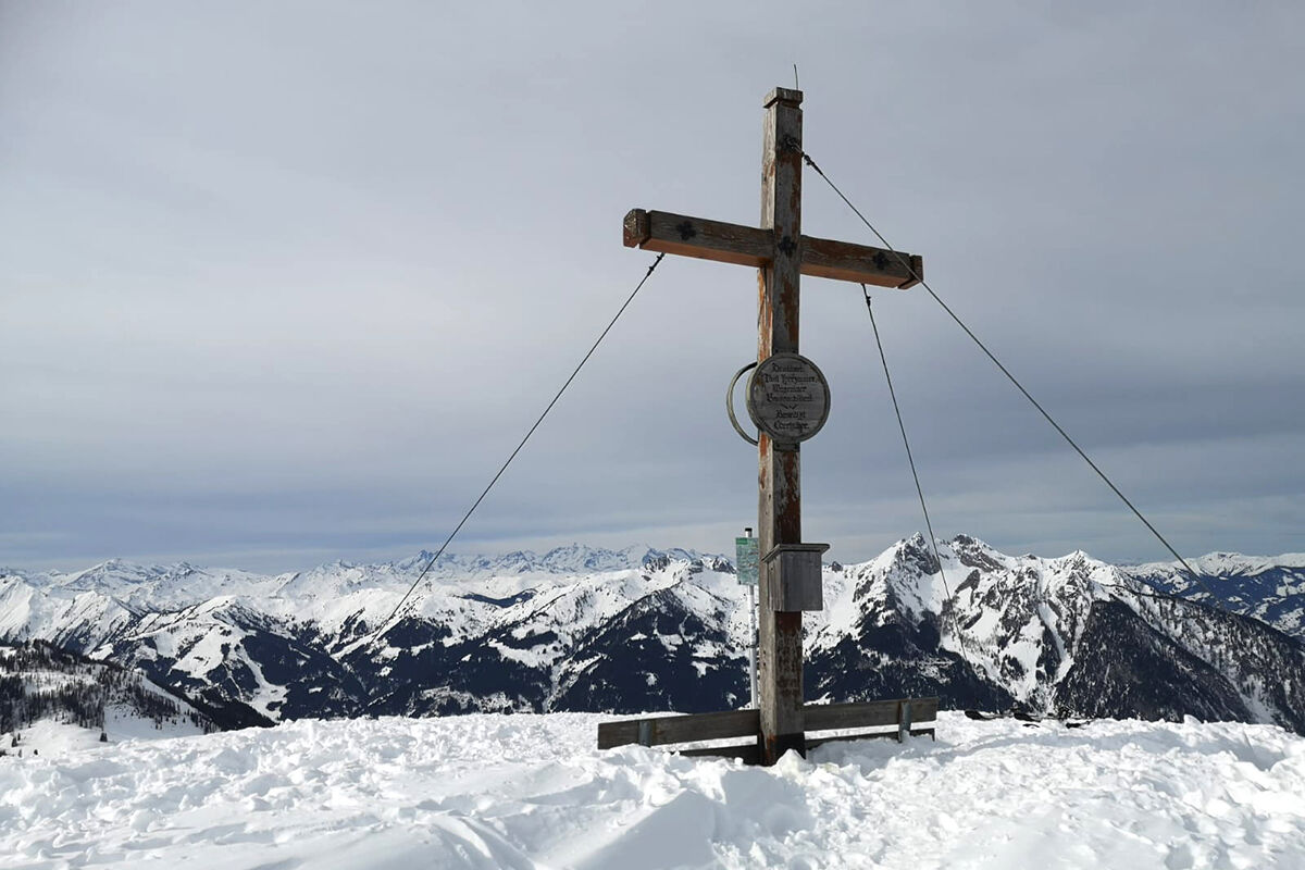
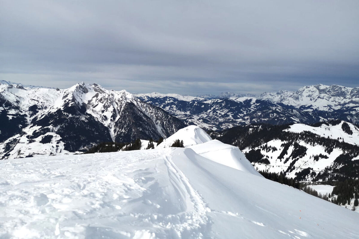
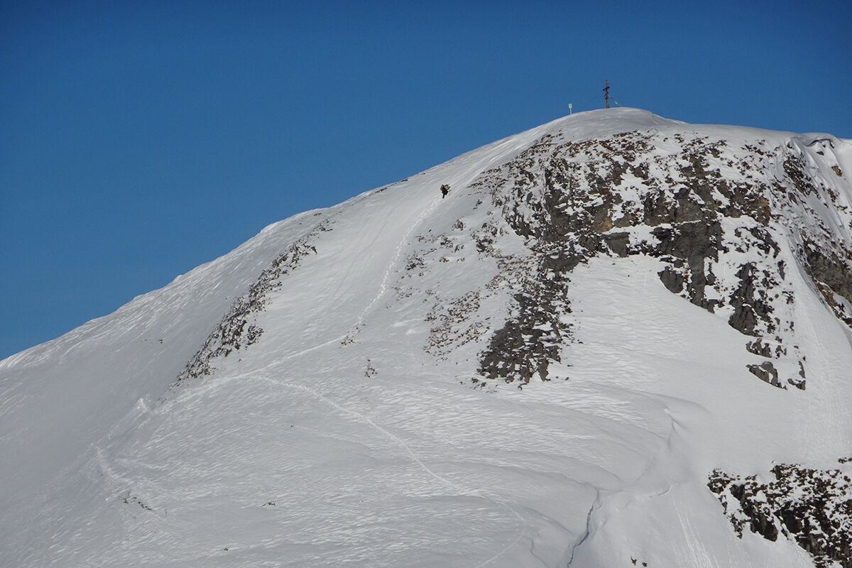

ASCENT: approx. 2.5 hours
From the parking lot (avalanche transceiver checkpoint) via the hiking trail or forest road to the Breitenebenalm and from there further towards Karseggalm. Before the alpine hut, leave the path to the right and ascend over rugged terrain with little difficulty until just below the summit. The last section, about 100 vertical meters, is quite steep, so for safety reasons, it may be better to climb to the summit without skis.
ALTERNATIVELY: With good snow conditions, the ski tour is also possible from the district of Au (871 m), with an elevation difference of about 1,170 m.
DESCENT: approx. 1 hour
There are varied descents along the ascent route.
Áno
Áno
Ski touring equipment, avalanche transceiver, shovel, probe, mobile phone, first aid kit, and bivy sack. An airbag system increases survival chances.
The starting point for this route is the parking lot at the Breitenebenalm gate (avalanche transceiver checkpoint), 1,221 m. It can be reached from the Großarler Landesstraße (L109) via Sonneggweg. With good snow conditions, the ski tour is also possible from the district of Au, 871 m. The elevation difference is then about 1,170 m.
Postbus line no. 540 to Auschulweg - ski tour from the district of Au only possible with sufficient snow cover
Parking lot Breiteneben gate
The route is ideal for getting in shape and can also be done in bad weather (however, the summit ascent should then be avoided).

Webové kamery z prehliadky
-
Gernkogel - Alpendorf St. Johann
-
Hotel Lammwirt im Großarltal/Ellmautal
-
Ellmautal - Palfenhof
-
St.Johann-Alpendorf Gernkogel
-
Gernkogel - Alpendorf St. Johann
-
Gernkogel - Alpendorf St. Johann
-
Mooslehen Berg
-
Großarl - Hotel Kristall Übungslift
-
Gernkogel - Alpendorf St. Johann
-
Gernkogel - Alpendorf St. Johann
-
Gernkogel - Alpendorf St. Johann
-
Gernkogel - Alpendorf St. Johann
Získajte prehľad
Vždy naživo na mieste s viac ako 9 500 webovými kamerami. bergfex Ako používateľ Pro si teraz môžete pozrieť príslušné webové kamery pre mnohé zájazdy v aplikácii zájazdy z. Môžete si tak priamo prezerať aktuálne podmienky.
Obľúbené výlety v okolí
-
5,0
Hüttschlag: Karteistörl - Tappenkarsee - Draugsteintörl - Draugsteinalmen
strednáTuristika 13,5 km -
4,9
Großarl: Aualm - Liechtensteinkopf - Aukopf - Schuhflicker - Schuhflickersee
strednáTuristika 5,84 km -
5,0
4-Gipfel-Tour
strednáHorská turistika 6,40 km -
4,2
Tappenkarsee Kleinarl
strednáTuristika 9,11 km -
4,9
Großarl: Alpine pasture circuit in Ellmautal
strednáTuristika 9,69 km -
5,0
Großarl: Heukareck
strednáTuristika 12,5 km -
4,6
Großarl: Mooslehenalm – Niggeltalalm – Viehhausalm
strednáTuristika 5,44 km -
4,6
Ski route Lackenkogel
strednáSkitour 7,82 km -
4,9
Großarl: Bichlalm
strednáMountainbike 18,9 km -
4,7
Großarl: Saukaralm - Saukarkopf - Gerstreitalm
strednáTuristika 9,39 km
Turistika a stopovanie


Nenechajte si ujsť ponuky a inšpiráciu na ďalšiu dovolenku
Vaša e-mailová adresa bol pridaný do poštového zoznamu.





