







Maishofen Heights Route
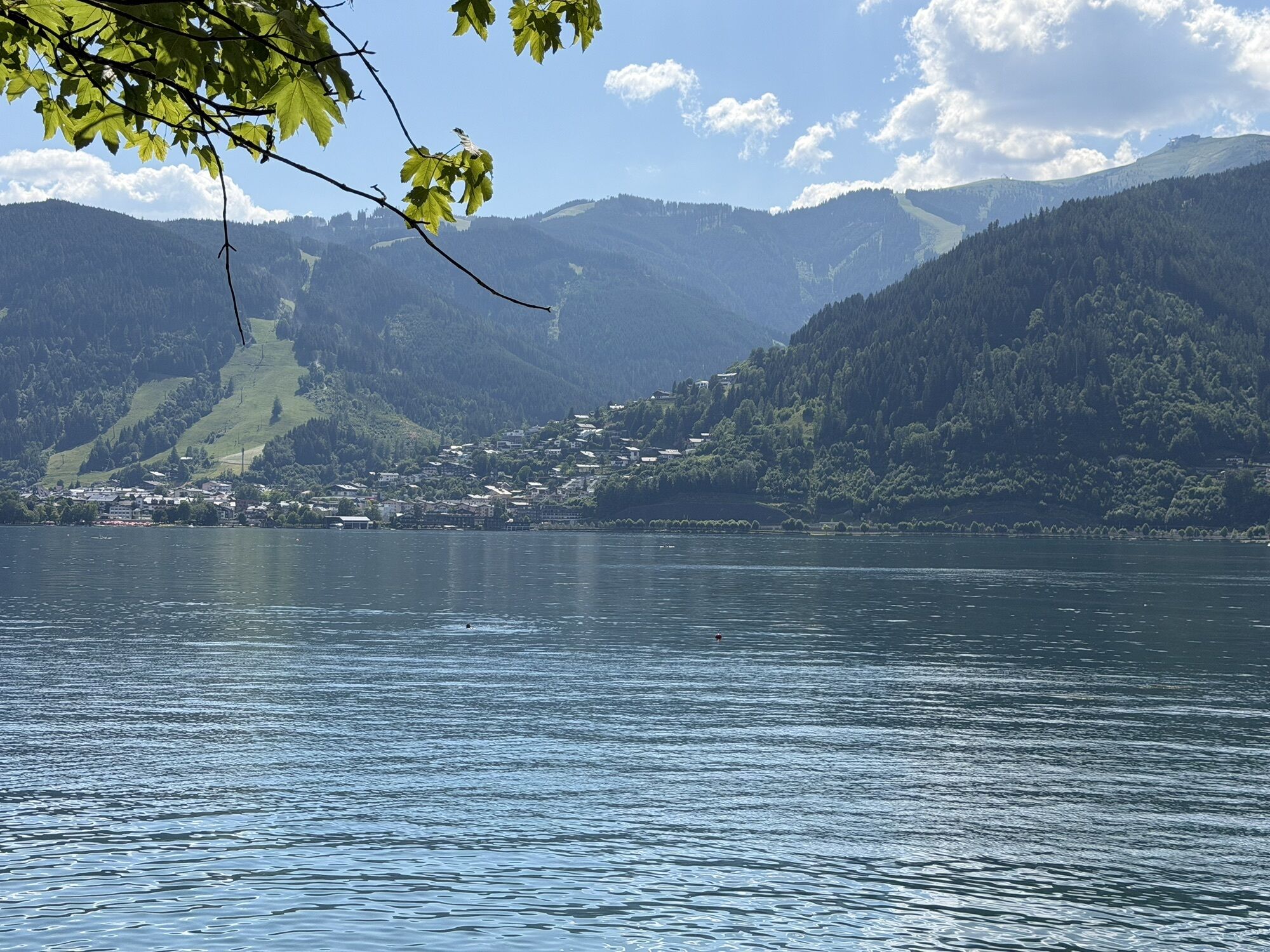
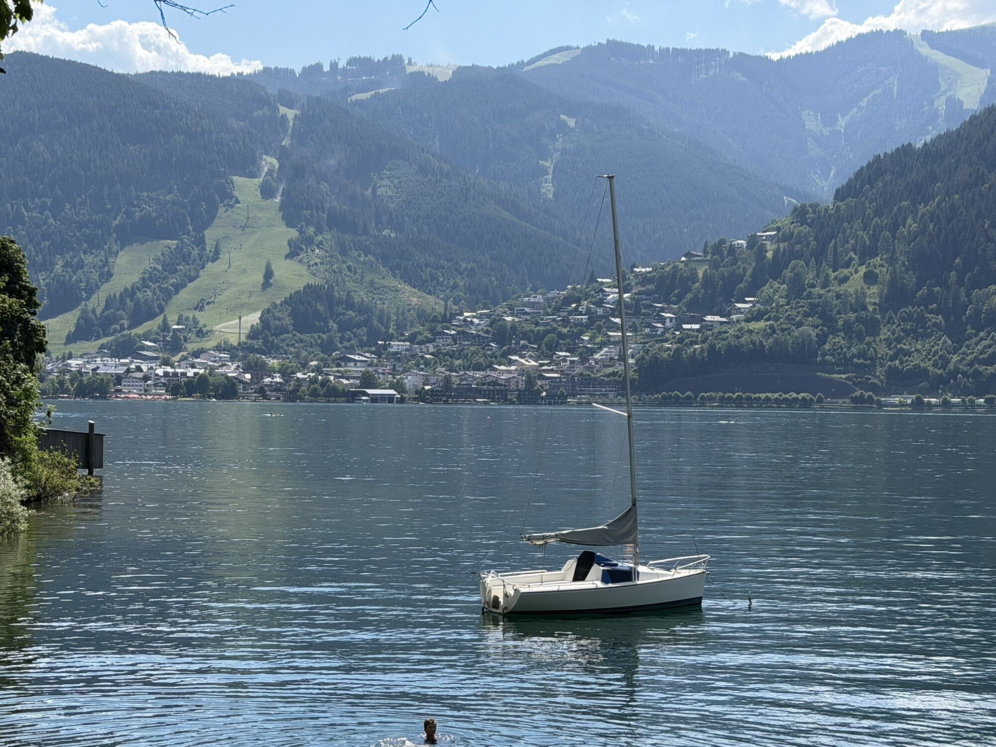
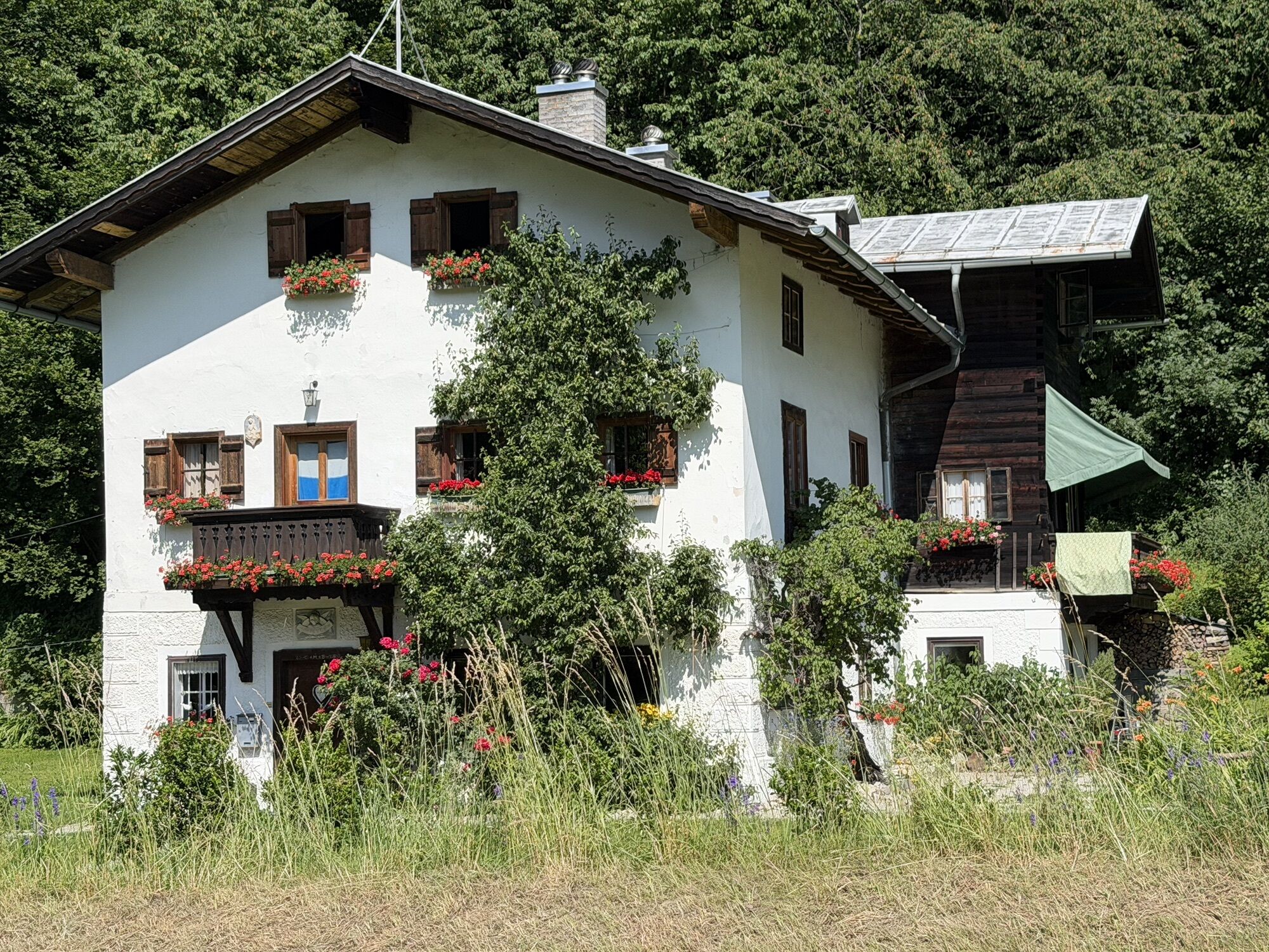
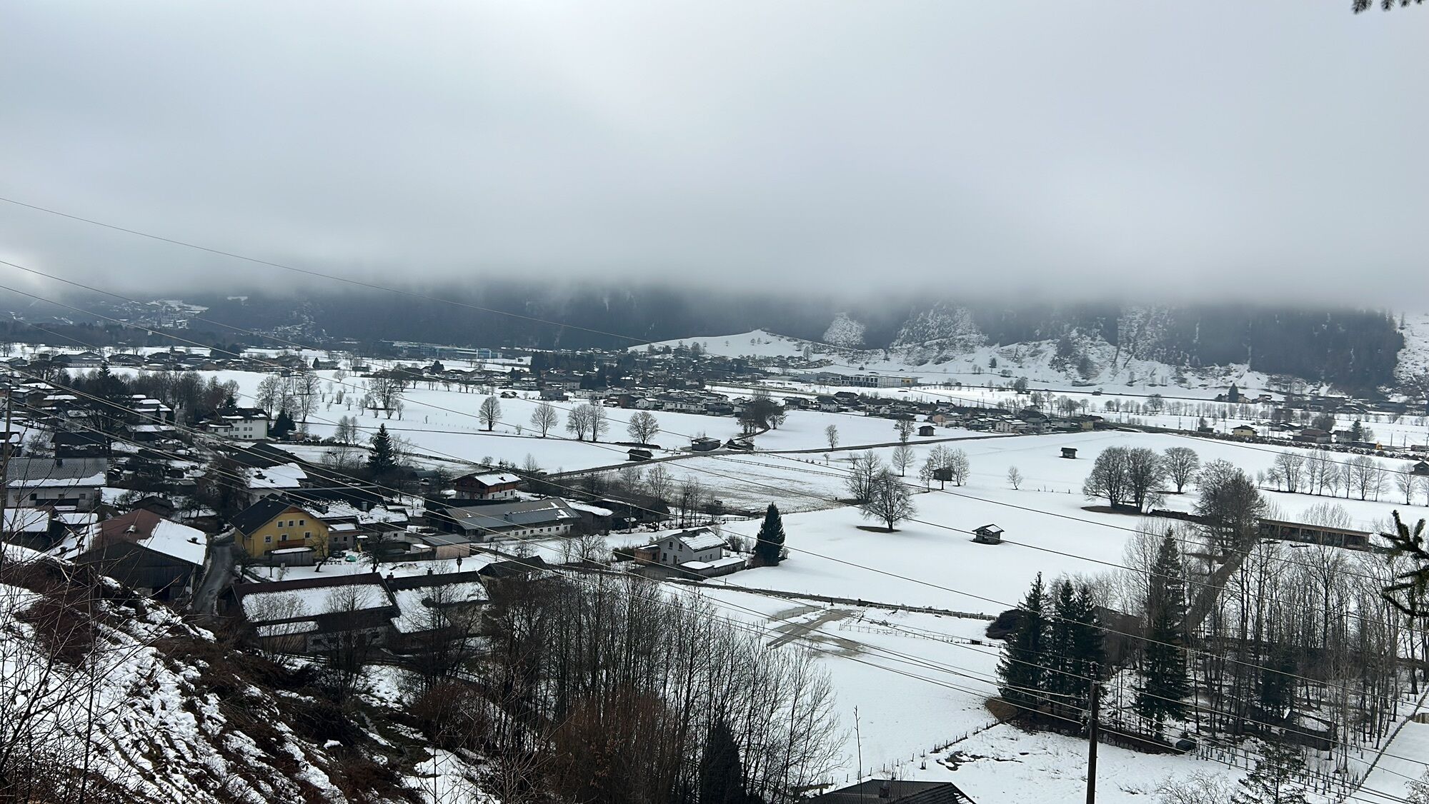
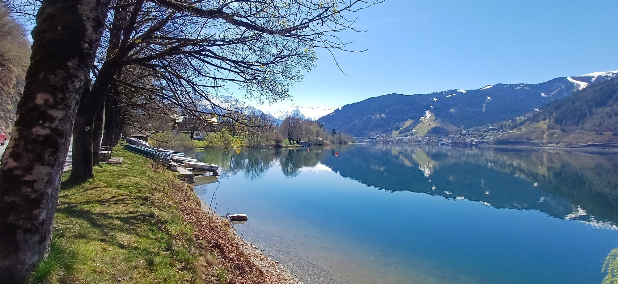
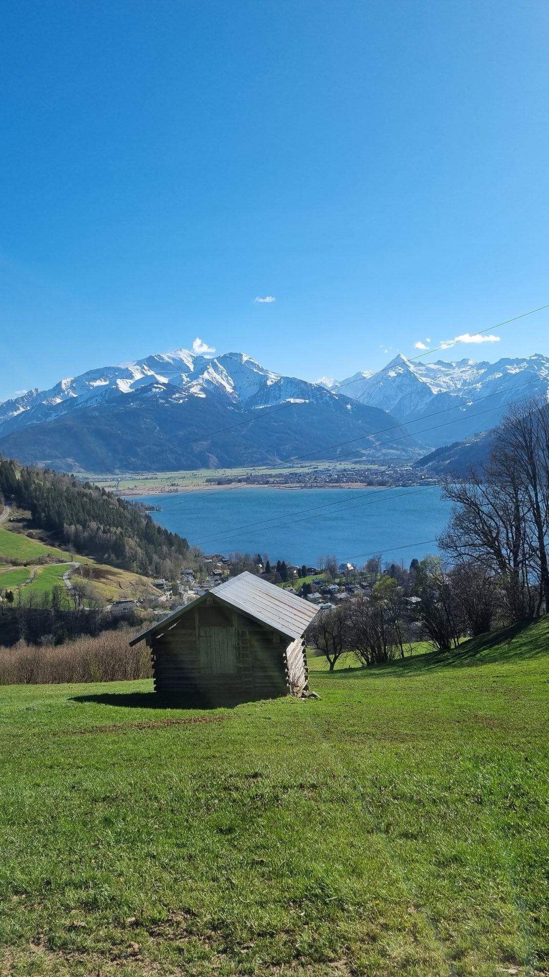
From the town center, first walk eastwards under the railway line and past the sports field to Steinberg. About 300 meters after the path turns south, turn left onto a farm road that leads briefly uphill...
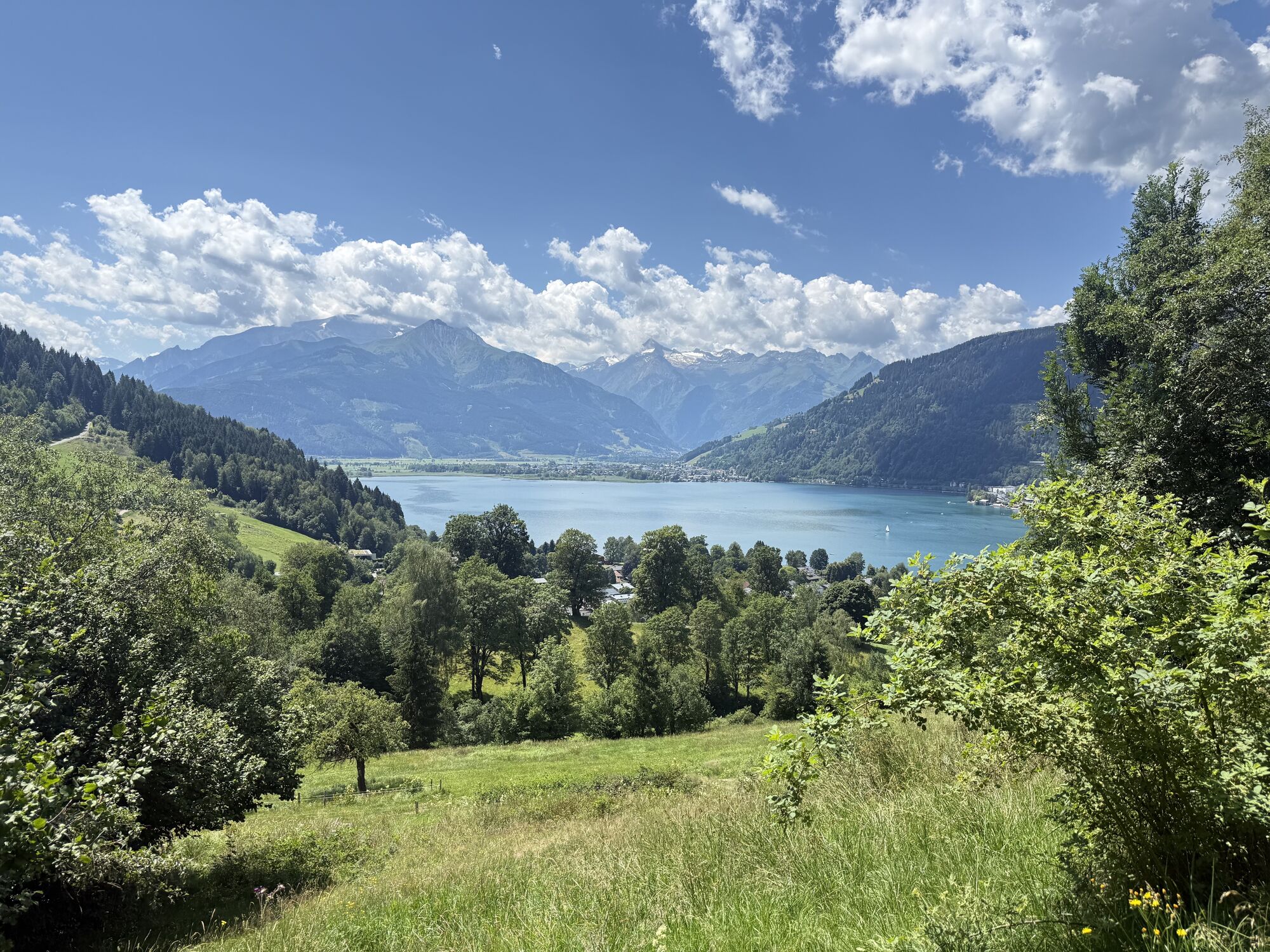
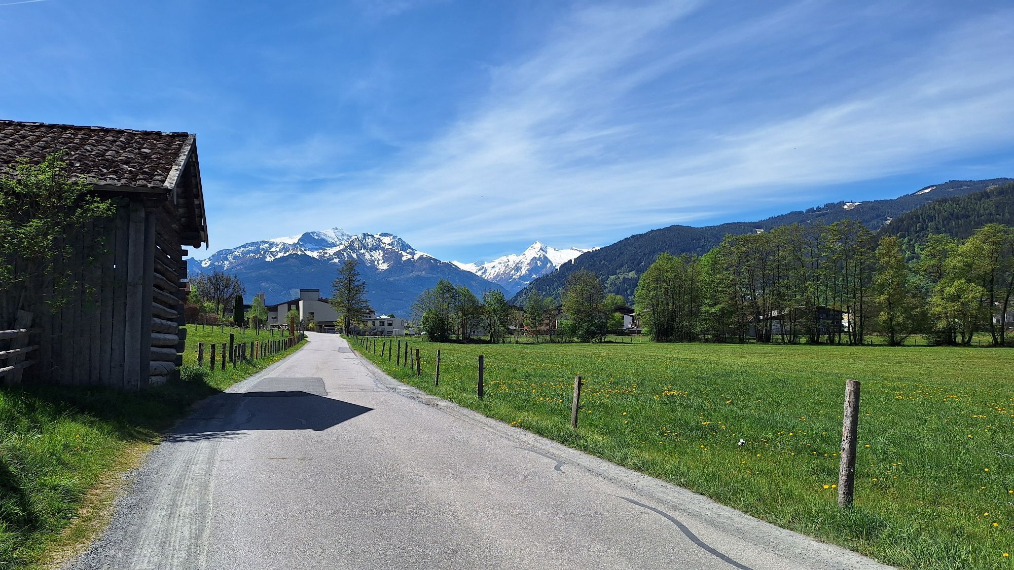
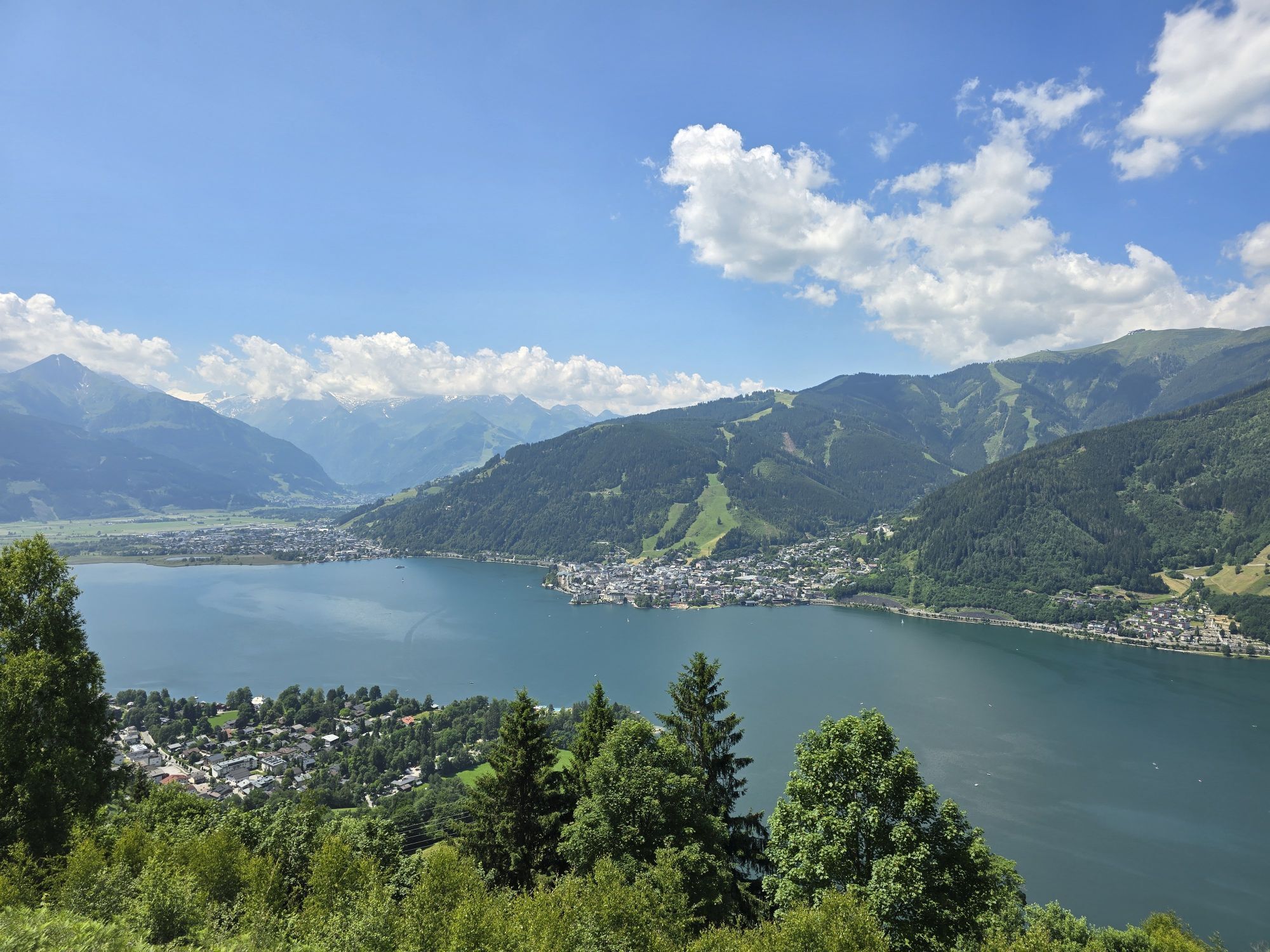
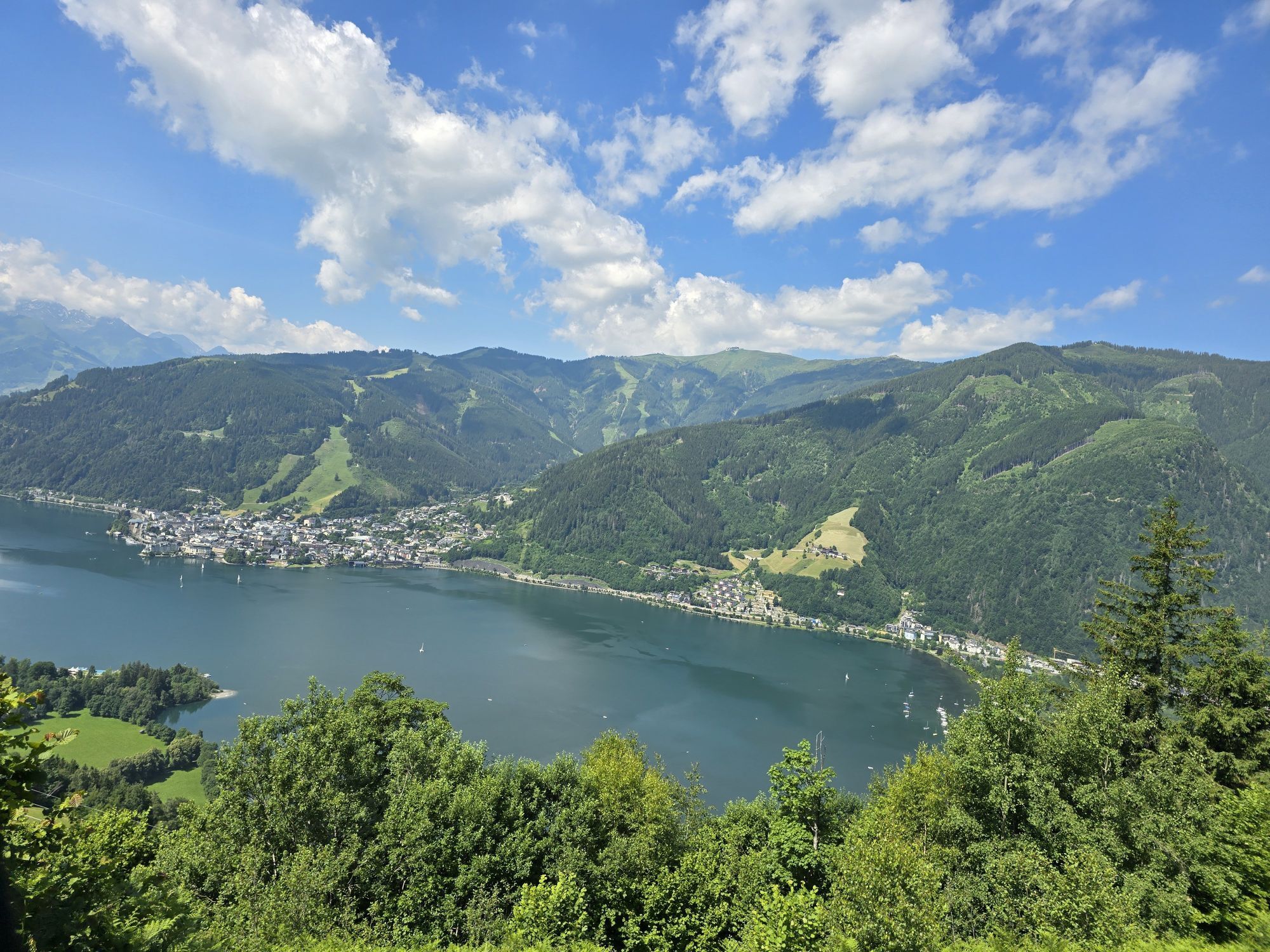
From the town center, first walk eastwards under the railway line and past the sports field to Steinberg. About 300 meters after the path turns south, turn left onto a farm road that leads briefly uphill into the forest. After a few meters of ascent, keep right again and walk more or less level along the slope over meadows. Soon you cross a forest road above Mayrhofen and follow the hiking trail, which here briefly runs under the power line into the forest. The path now winds scenic, mostly gently rising along the slope up to Mitterberg. Now you have the option to descend directly to Thumersbach, or to climb up to the Berggasthaus Mitterberg (about 40 minutes from the junction) and enjoy a snack on the beautiful viewing terrace. From Thumersbach, it goes briefly along the lake and along the foot of the slope over meadows back to Mayrhofen and Maishofen.

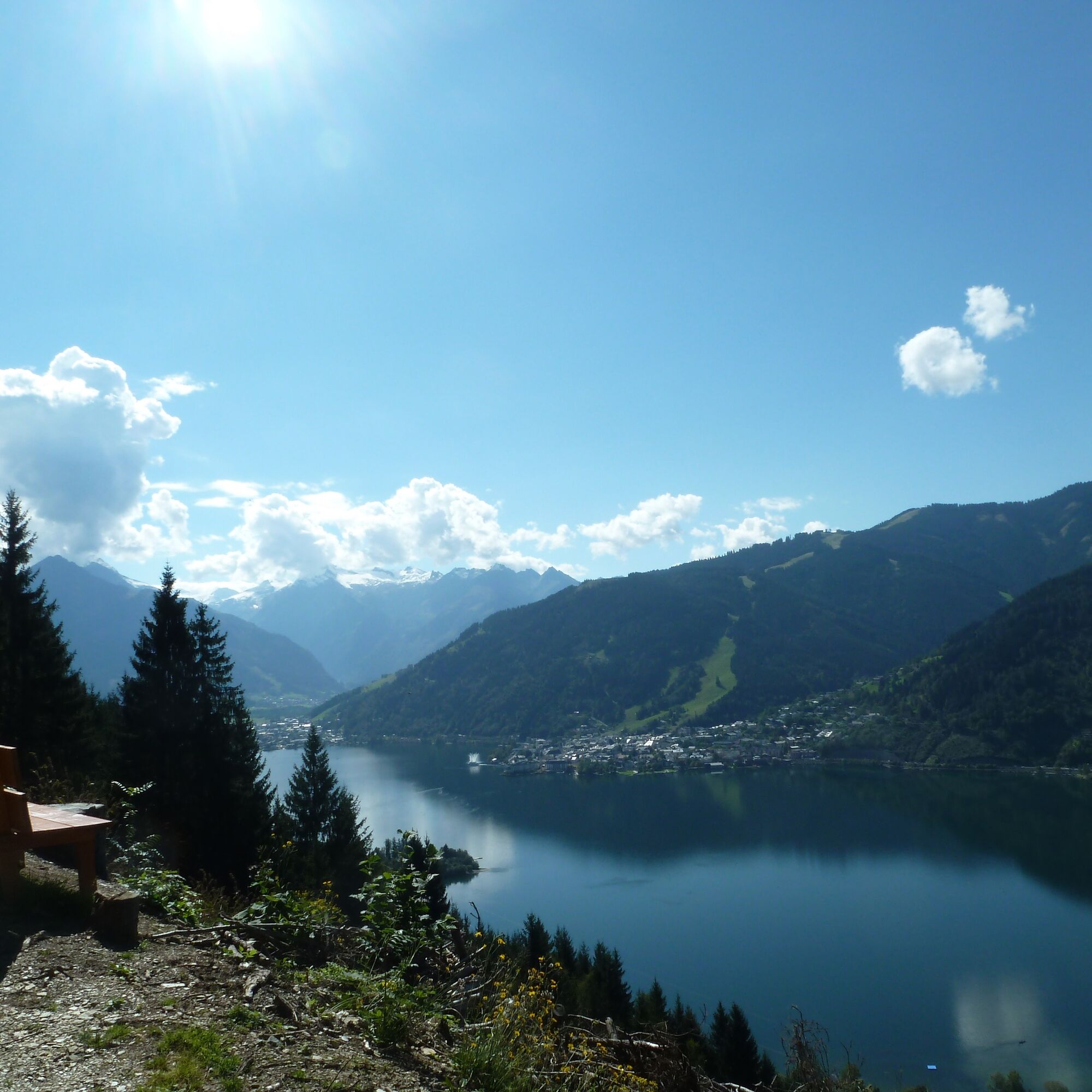
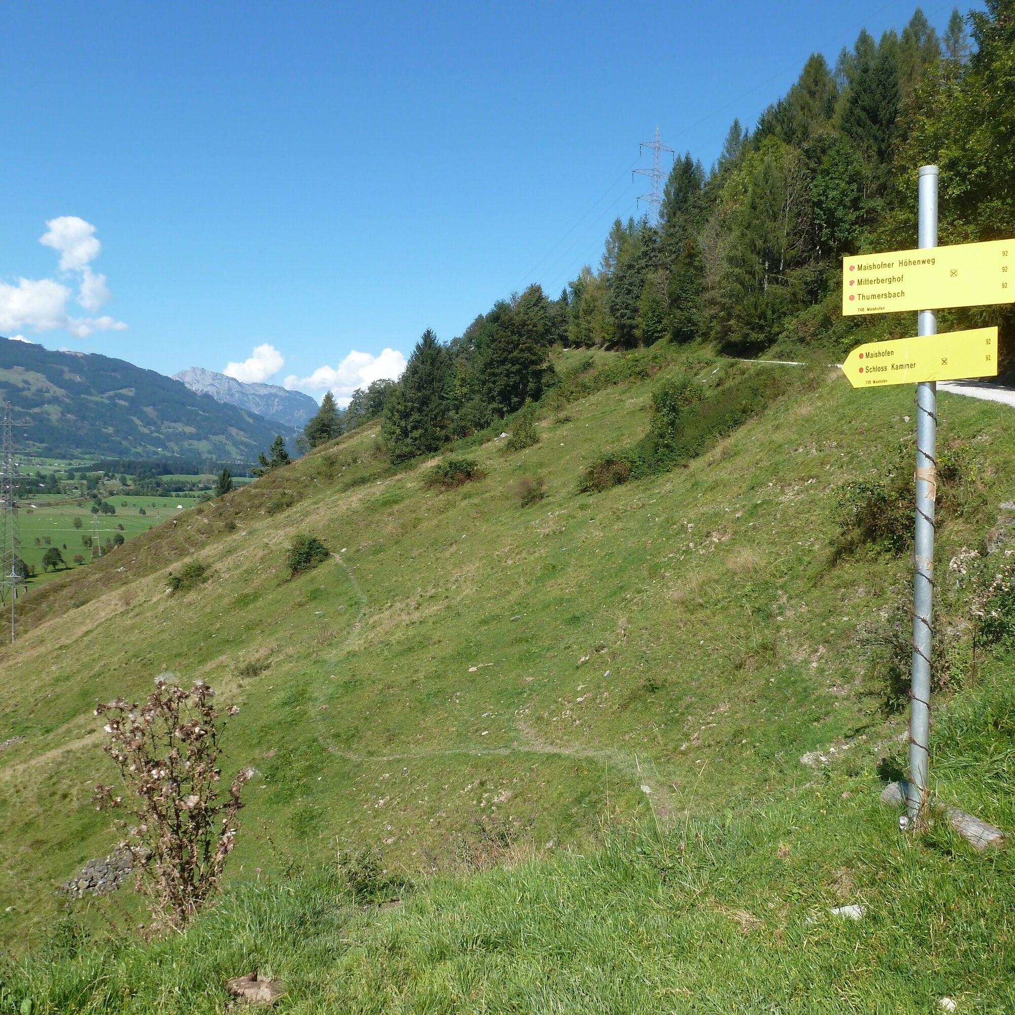
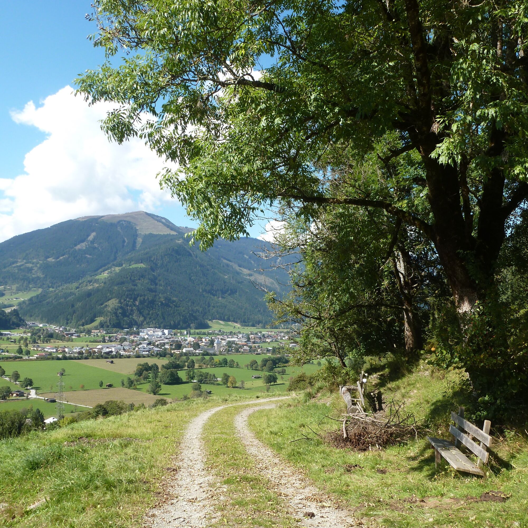
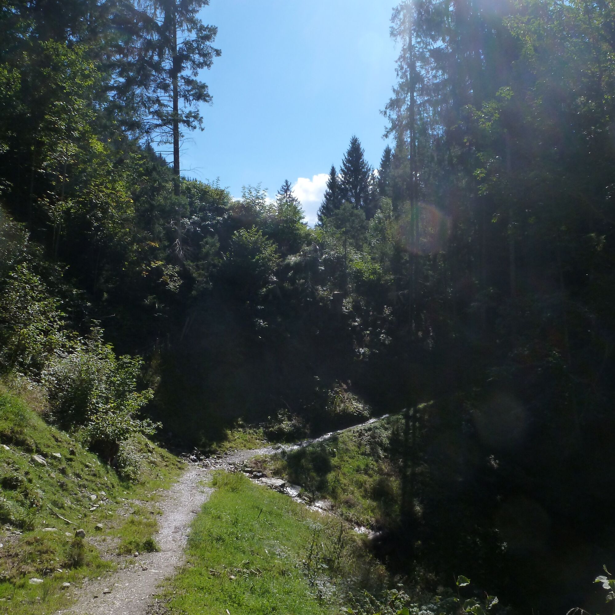
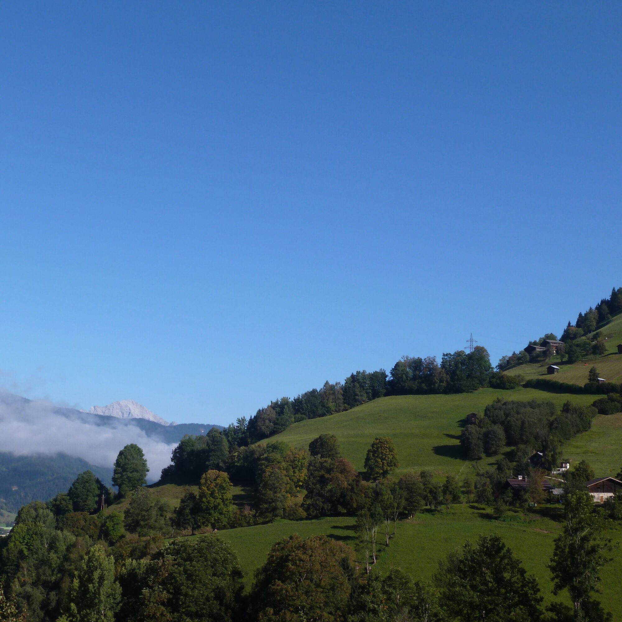

Asphalt, gravel, and trail. No steep climbs and often shady in the forest.
Áno
Various public parking spaces in Maishofen.
Anyone who still has time and stamina should definitely not miss the detour to the Berggasthaus Mitterberg!
 Získajte prehľad
Vždy naživo na mieste s viac ako 9 500 webovými kamerami. bergfex Ako používateľ Pro si teraz môžete pozrieť príslušné webové kamery pre mnohé zájazdy v aplikácii zájazdy z. Môžete si tak priamo prezerať aktuálne podmienky.
Získajte prehľad
Vždy naživo na mieste s viac ako 9 500 webovými kamerami. bergfex Ako používateľ Pro si teraz môžete pozrieť príslušné webové kamery pre mnohé zájazdy v aplikácii zájazdy z. Môžete si tak priamo prezerať aktuálne podmienky.
Obľúbené výlety v okolí
-
4,4
Maria Alm - Riemannhaus
Turistika 3,99 km -
4,8
Highlight Kitzlochklamm Classic round
strednáTuristika 2,02 km -
4,6
Steinalm
svetloTuristika 2,71 km -
4,3
Schwalbenwand Nr. 80, 81, 82
strednáTuristika 13,0 km -
4,5
Peter-Wiechenthaler Hut
strednáTuristika 4,32 km -
4,3
Persailhorn South via ferrata
strednáVia ferrata 6,83 km -
4,4
Alpine and hut hike "Hochmaisalm & Steinbockalm"
strednáTuristika 8,10 km -
4,2
Maurerkogel (Top)
Turistika 10,5 km -
4,7
Sigmund Thun Klamm, Klammsee, Bürgkogel
svetloTuristika 4,56 km -
4,1
Berg der Sinne
svetloTuristika 4,39 km
Turistika a stopovanie


Nenechajte si ujsť ponuky a inšpiráciu na ďalšiu dovolenku
Vaša e-mailová adresa bol pridaný do poštového zoznamu.





