


Bad Berka District Trail - 4th stage

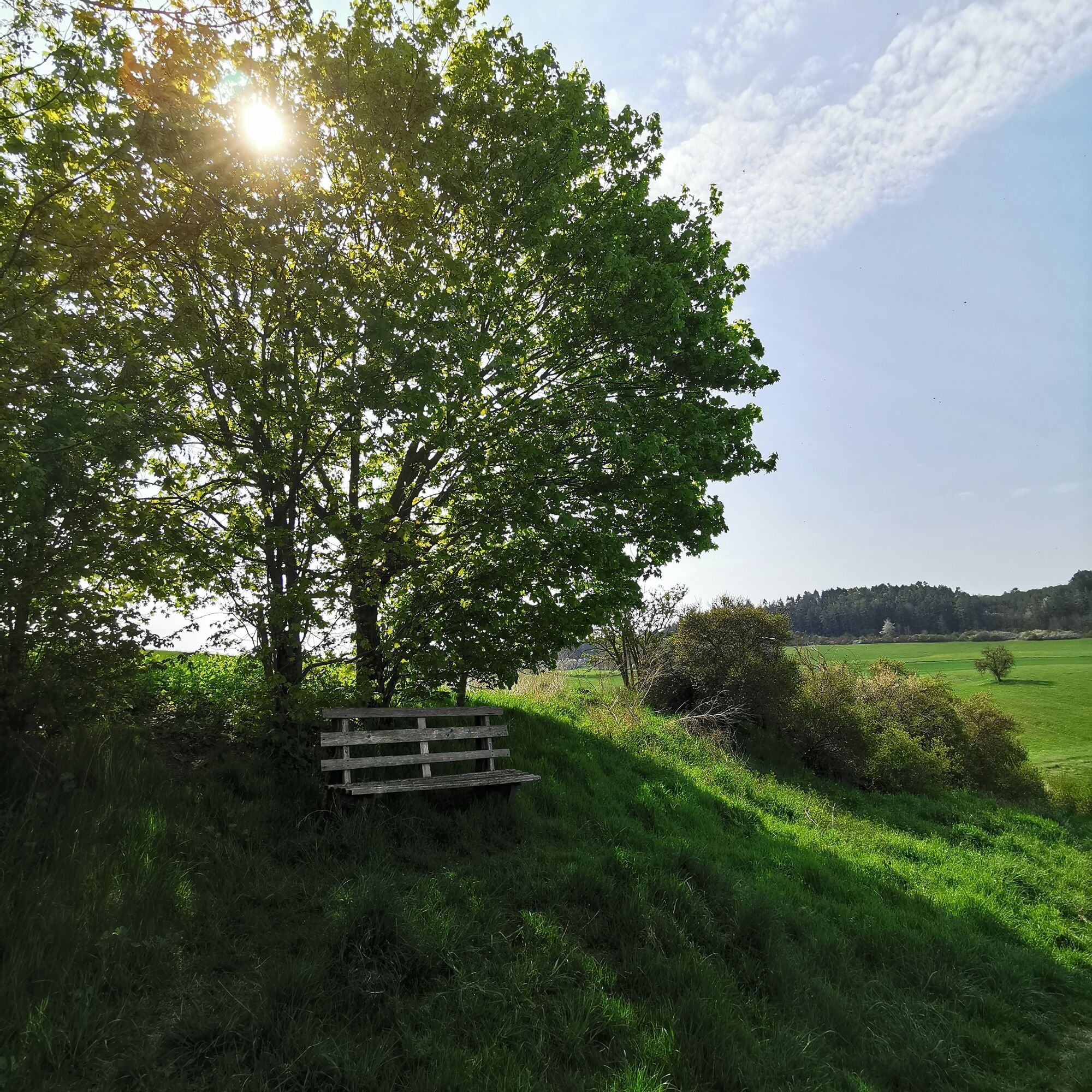
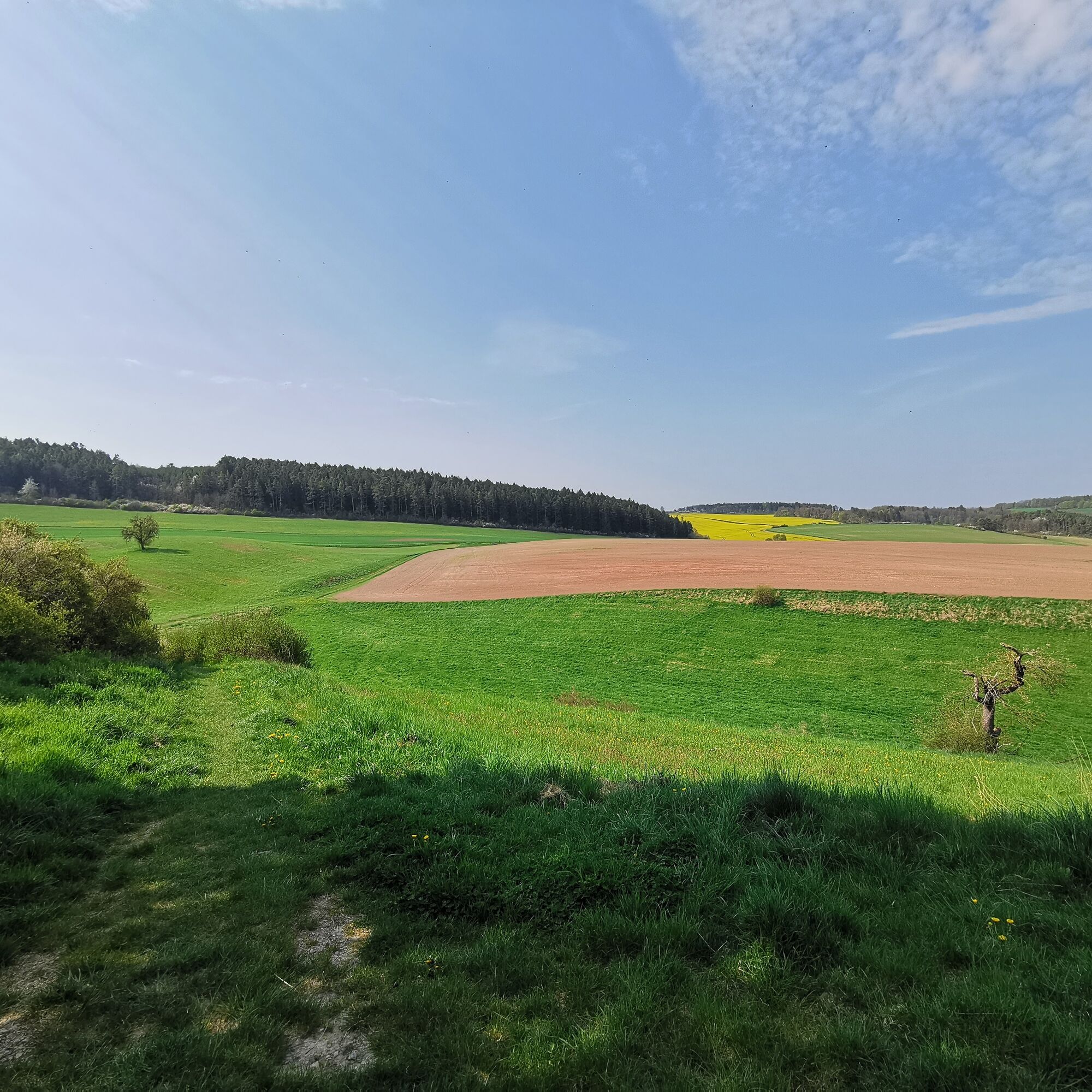
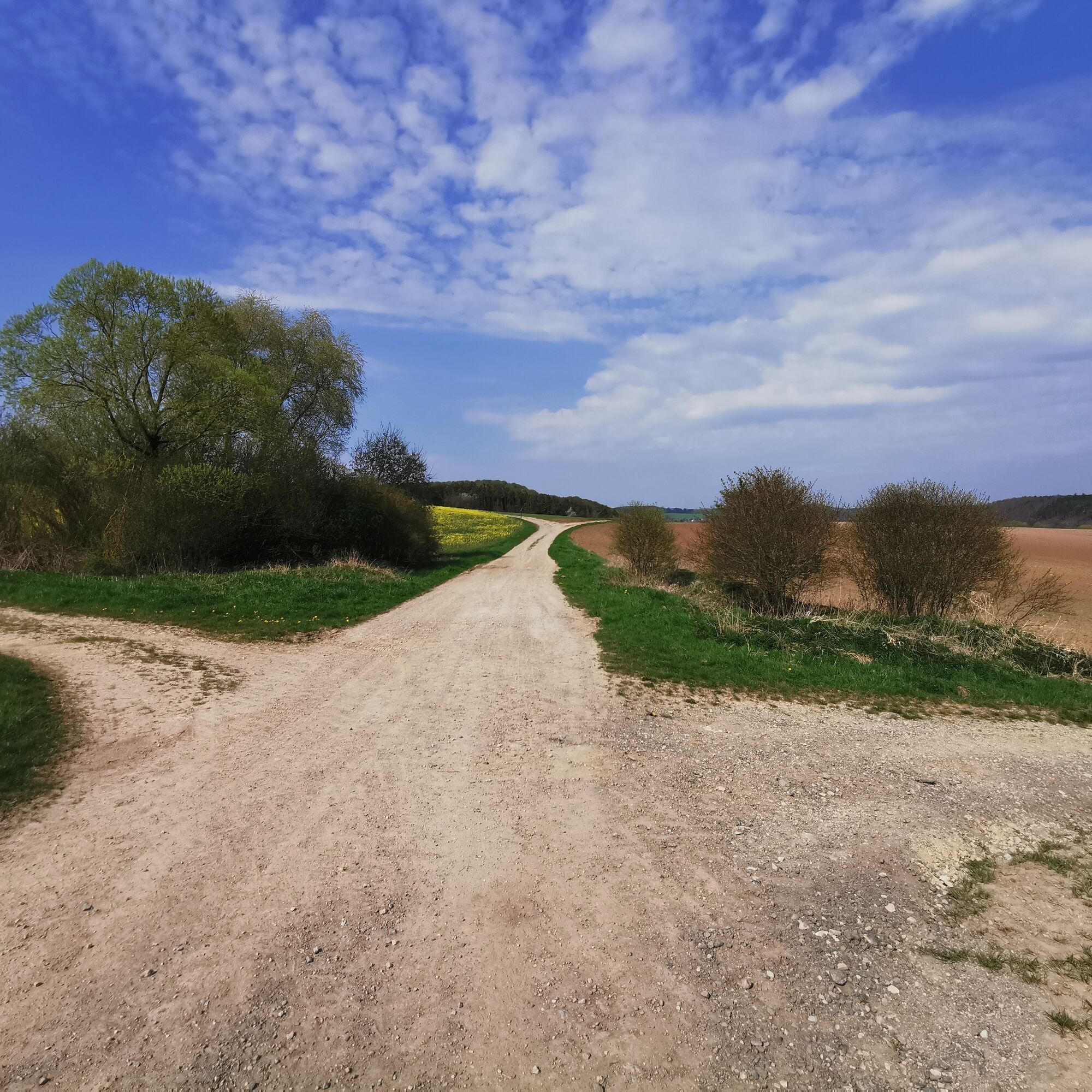
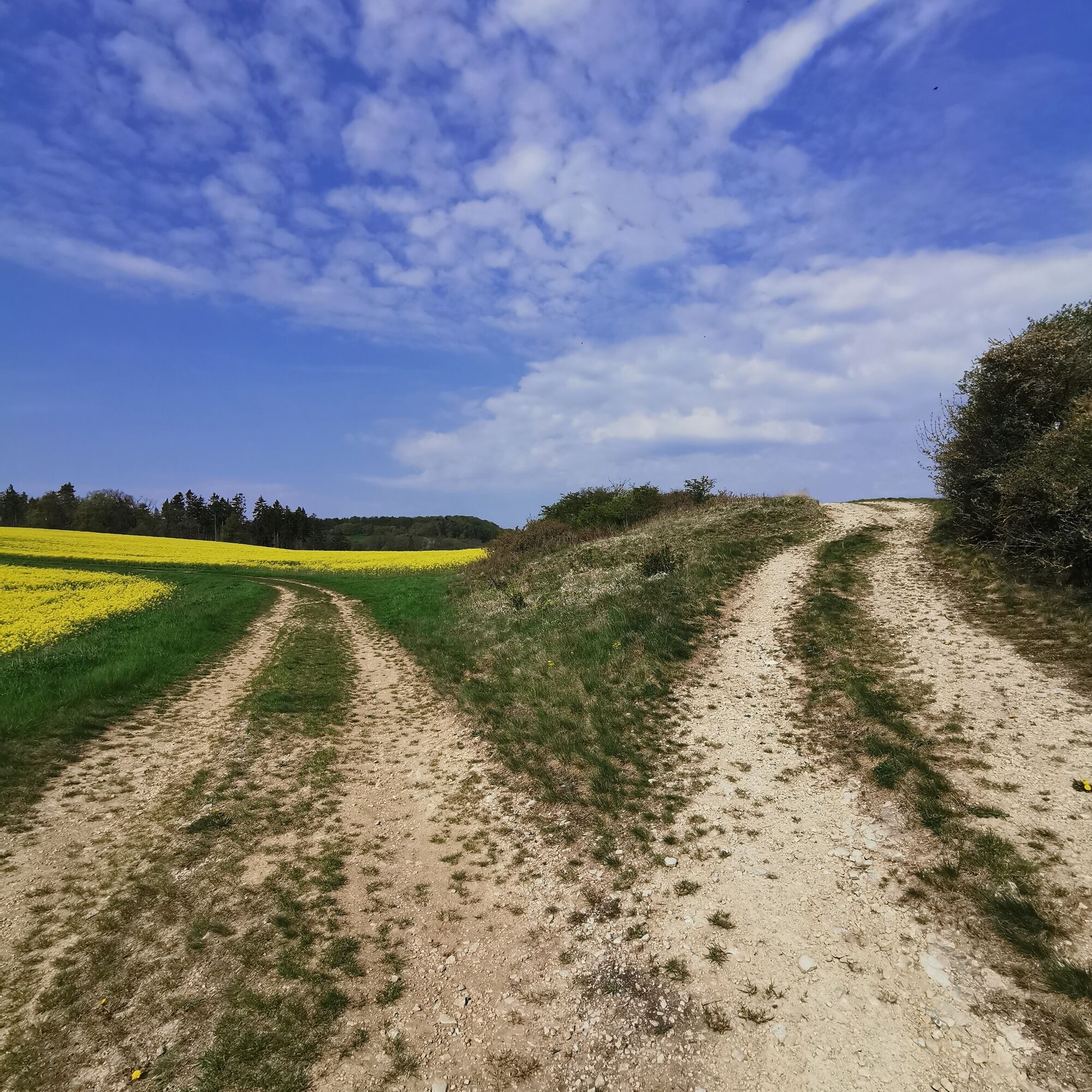
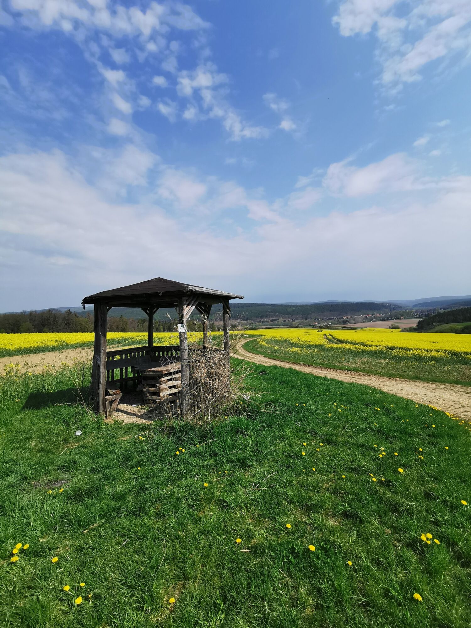
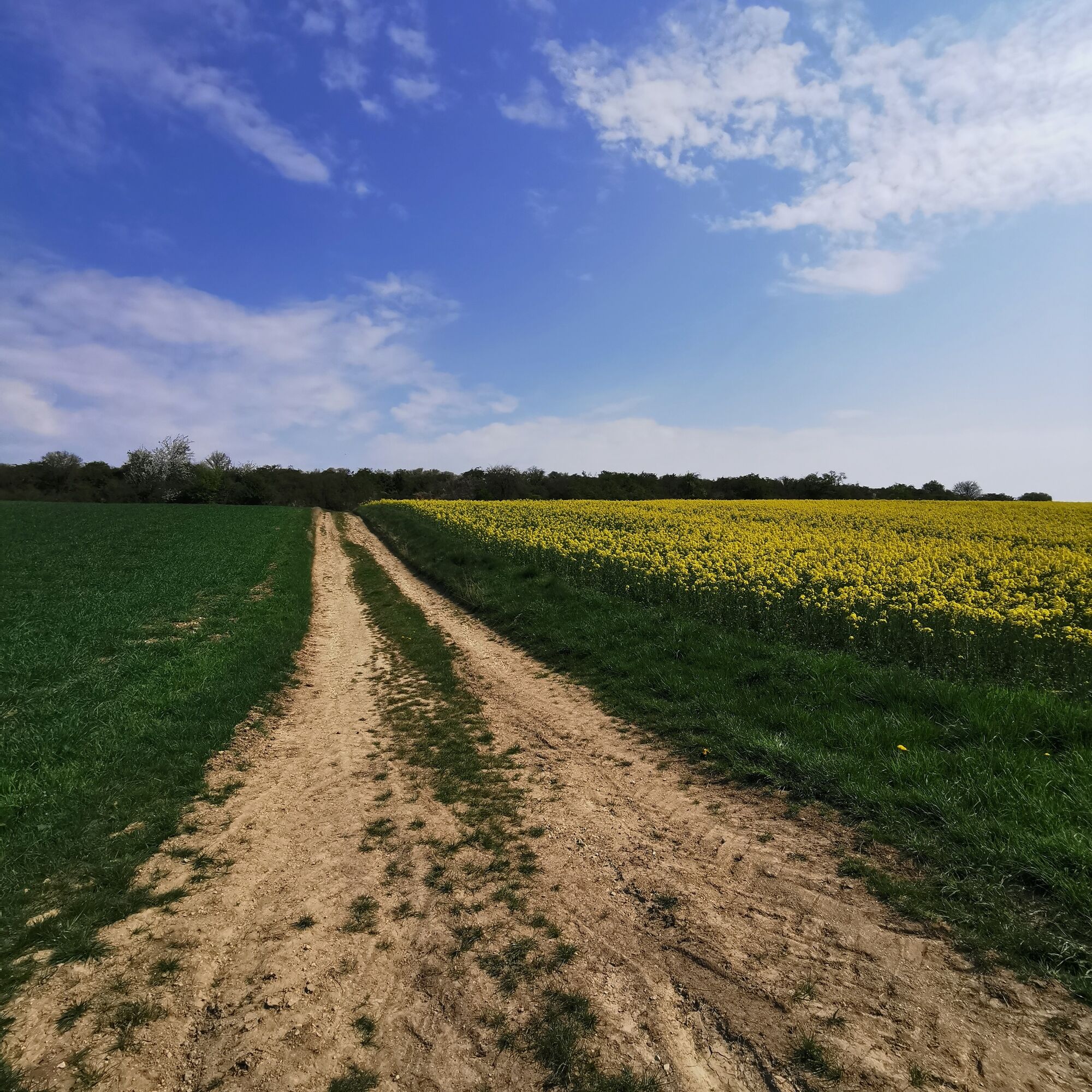
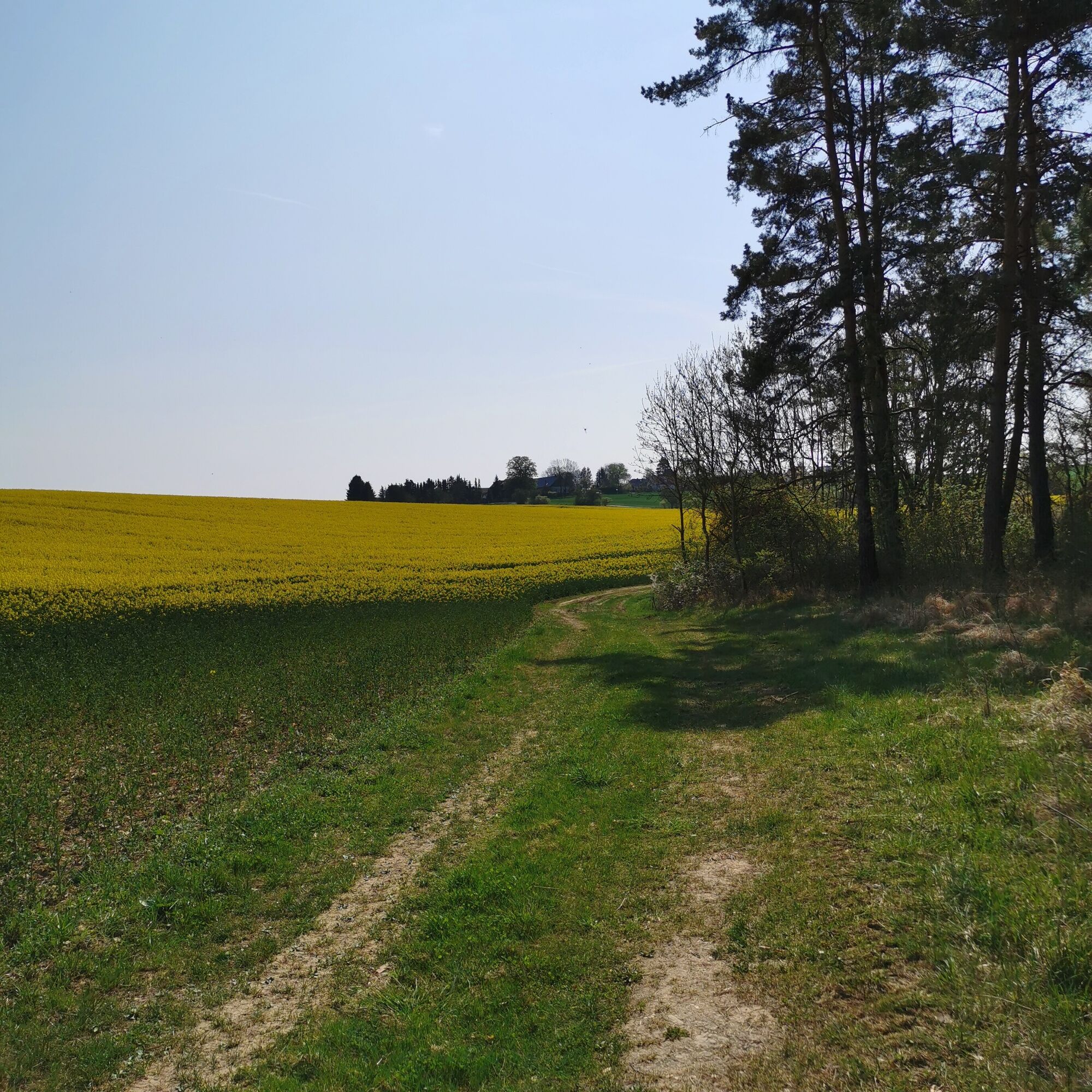
The fourth stage of the district trail begins in Tannroda. Over beautiful field and meadow paths, the route leads uphill to Kottendorf, the highest point of the route. From and near Kottendorf, you can...
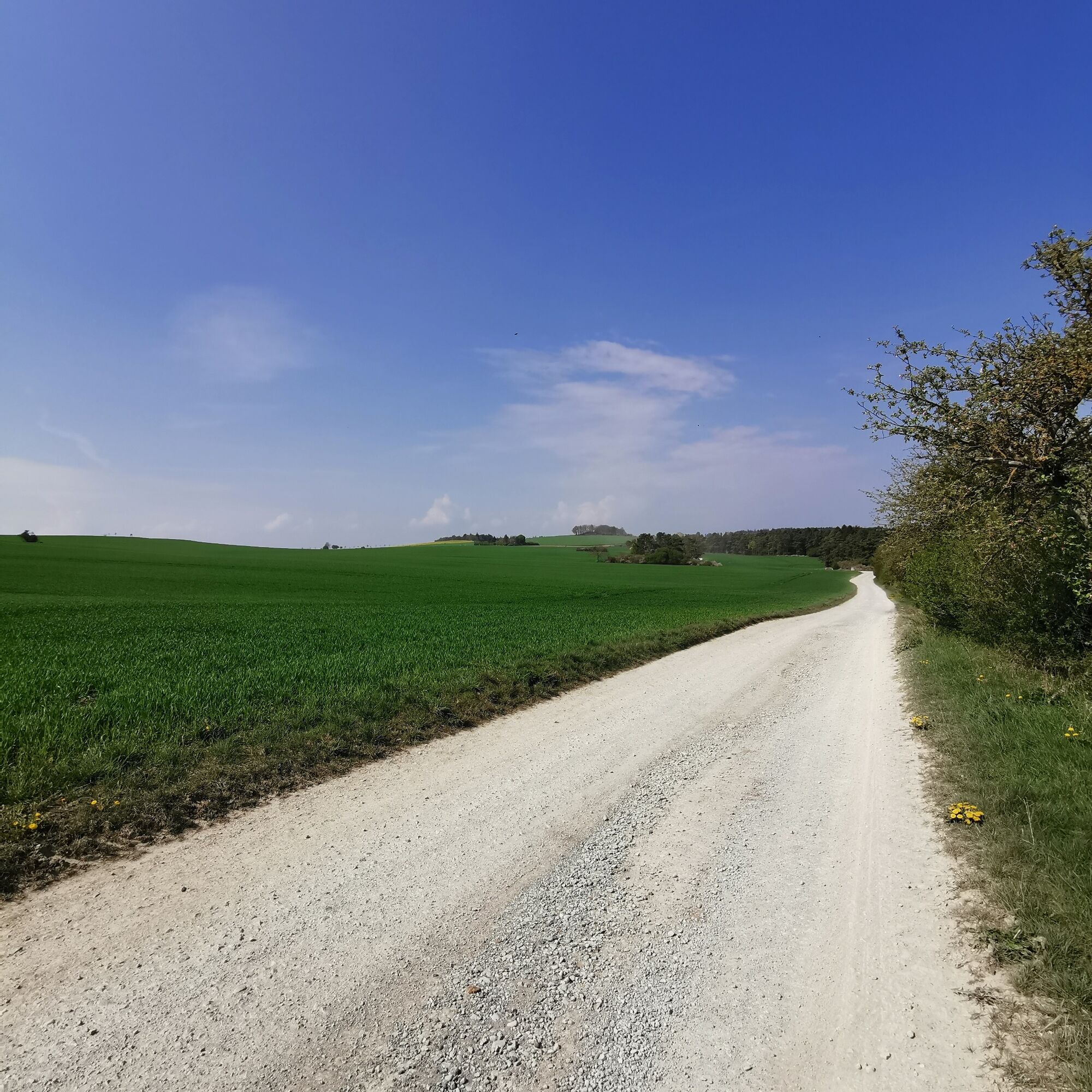
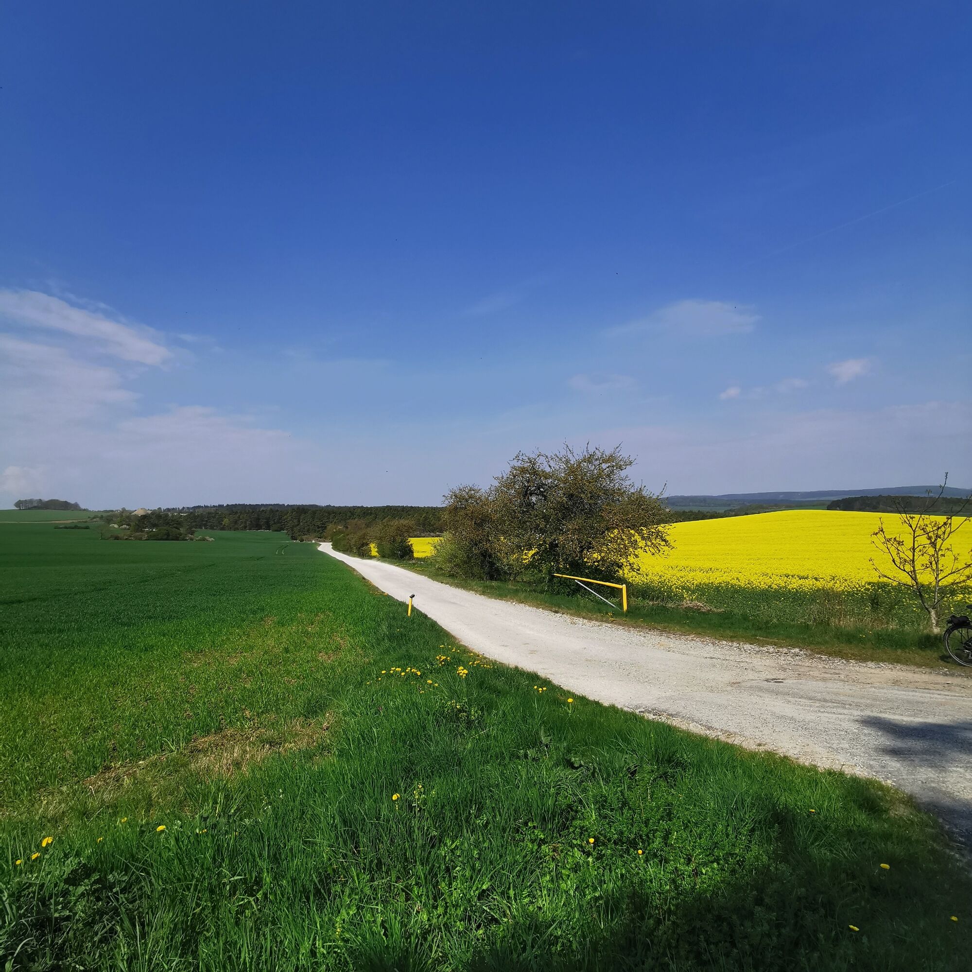
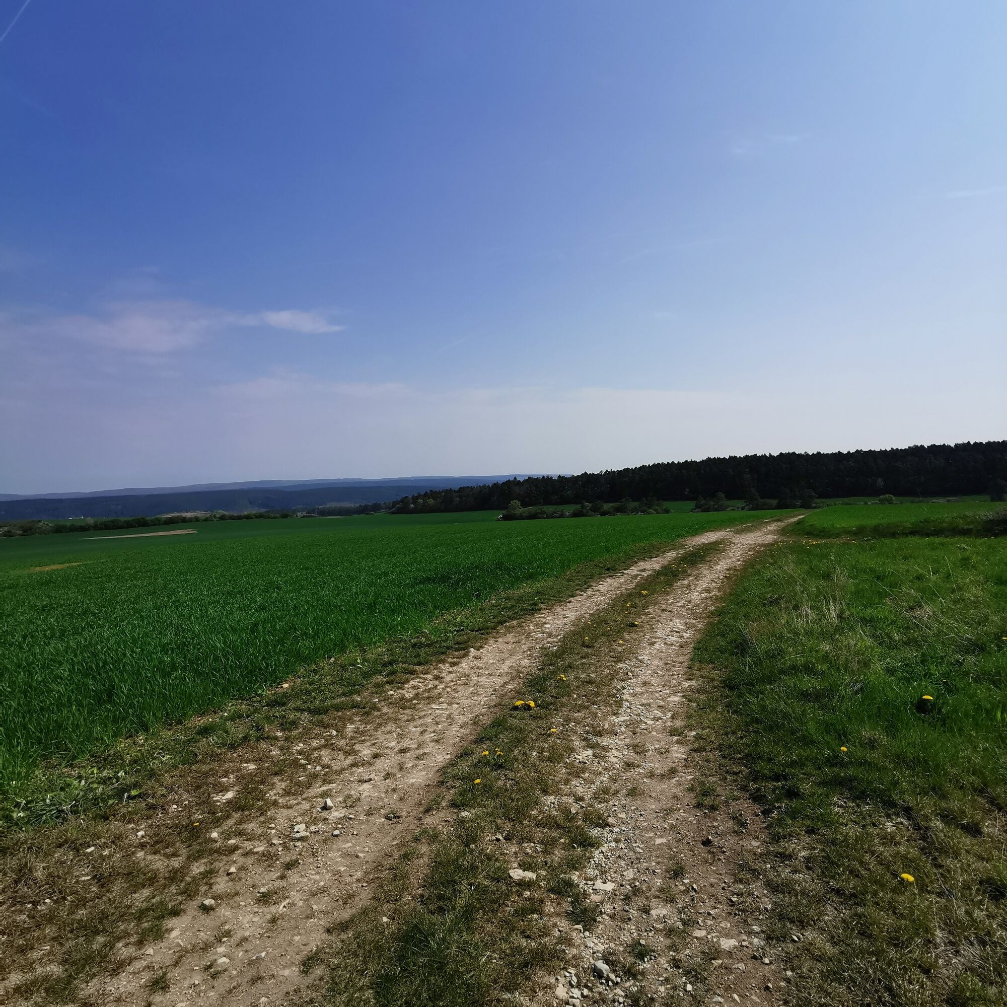
The fourth stage of the district trail begins in Tannroda. Over beautiful field and meadow paths, the route leads uphill to Kottendorf, the highest point of the route. From and near Kottendorf, you can enjoy views that invite you to linger and dream. Across open land, you walk the loop back to Tannroda via Böttelborn. From Tannroda, it goes back to Bad Berka via the idyllic Ilm Valley cycle path.

Tannroda - Kottendorf - Böttelborn - Bad Berka
sturdy footwear
Parking in Bad Berka
We accept no liability for the accuracy of linked pages.
- Viewpoints around Böttelborn and Kottendorf
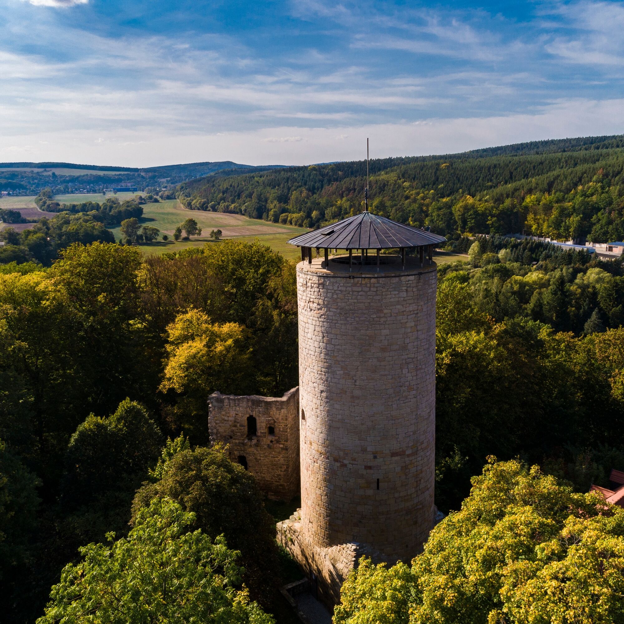
- Tannroda Castle
- Thuringian Basketmaker Museum in Tannroda
Obľúbené výlety v okolí
-
4,5
Kneipp circular route Bad Berka
strednáTematická trasa 8,96 km -
5,0
Thuringian Three Towers Trail
strednáTuristika 25,3 km -
Hexenberg circular route
svetloTuristika 6,79 km -
Ludwig Häfner Trail
strednáTuristika 10,4 km -
4,0
Ludwig-Geist-Path
svetloTuristika 5,13 km -
Circular hike - "Blossom Magic" Großkochberg Saale-Ilmplatte - Großkochberg
strednáTuristika 6,30 km -
Megamarsch Erfurt 2022
ťažkéTuristika 50,6 km -
Adventure Trail Schlossberg
svetloTematická trasa 2,50 km -
Kohlgrund Route
strednáNordic Walking 15,9 km -
Professor Tegtmeier Path
svetloTuristika 4,90 km
Turistika a stopovanie


Nenechajte si ujsť ponuky a inšpiráciu na ďalšiu dovolenku
Vaša e-mailová adresa bol pridaný do poštového zoznamu.