






Circular trail - No. 5 around Steinach - Thuringian Forest
From Steinach market, we walk past the display case of the Thuringian Forest Association over the Steinach bridge through Schulgasse, Kirchstraße, and Sonneberger Straße, then turn right into Hämmerer...
From Steinach market, we walk past the display case of the Thuringian Forest Association over the Steinach bridge through Schulgasse, Kirchstraße, and Sonneberger Straße, then turn right into Hämmerer Straße.
At the edge of town, about 50 m after the last house on the left side, we leave the busy road and follow the forest path to the left.
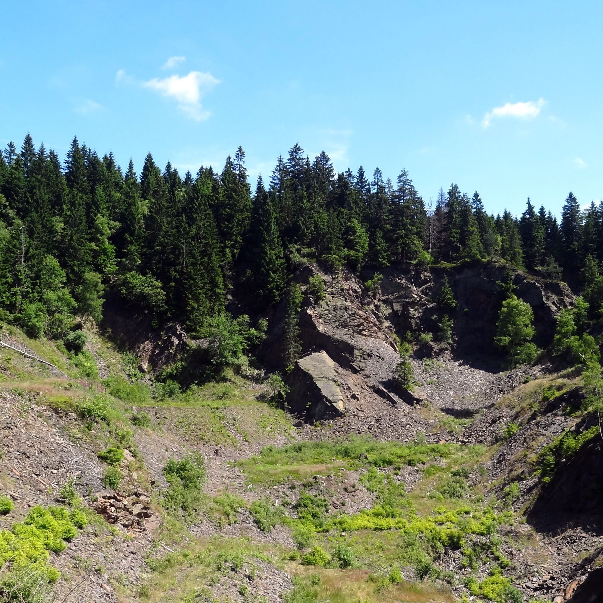
We are now finally in the forest and shortly behind a former whetstone quarry, we climb a steep path uphill to the right, which is also used by circular trail No. 2 with us.
Before the Hämmerer Plain, we have to use the road again, crossing the Hämmerer Plain (630m) and 100 m to the left we reach the Röthen spring with its small shelter. Here we turn back to the road junction and follow the forest road to Fellberg until we reach the Fellberg hut (780 m), a former large shed for the production of slate.
On the way back, we take the path that branches off to the left of the road we came on, heading east until it crosses another road at right angles on sloping terrain.
We follow this to the left (south), but make sure not to miss the Leierloch trail branching left down into the valley after about 100 m. In the Leierloch nature reserve, the trail winds through interesting rock formations beneath impressive beech trees into the valley.
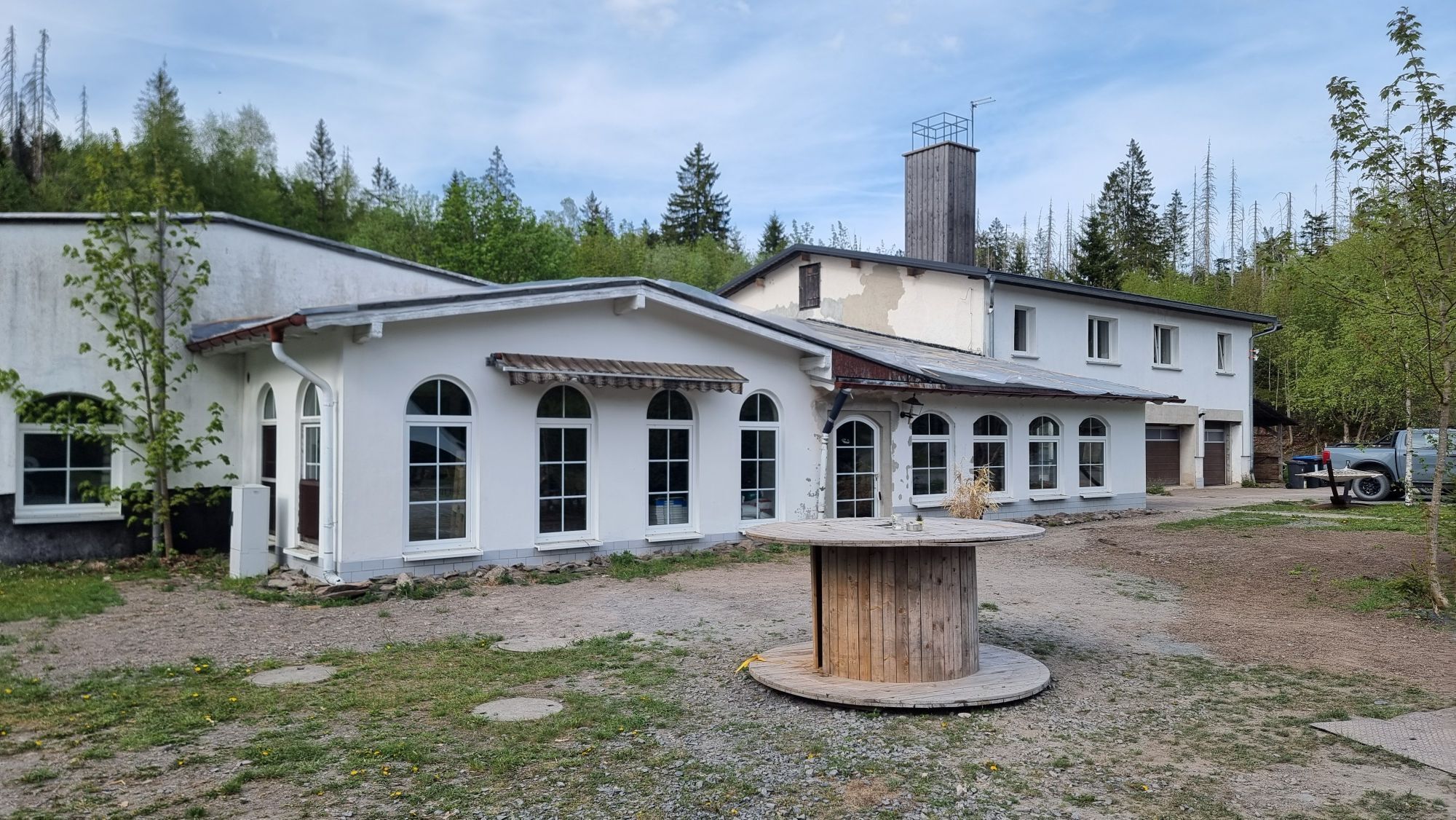
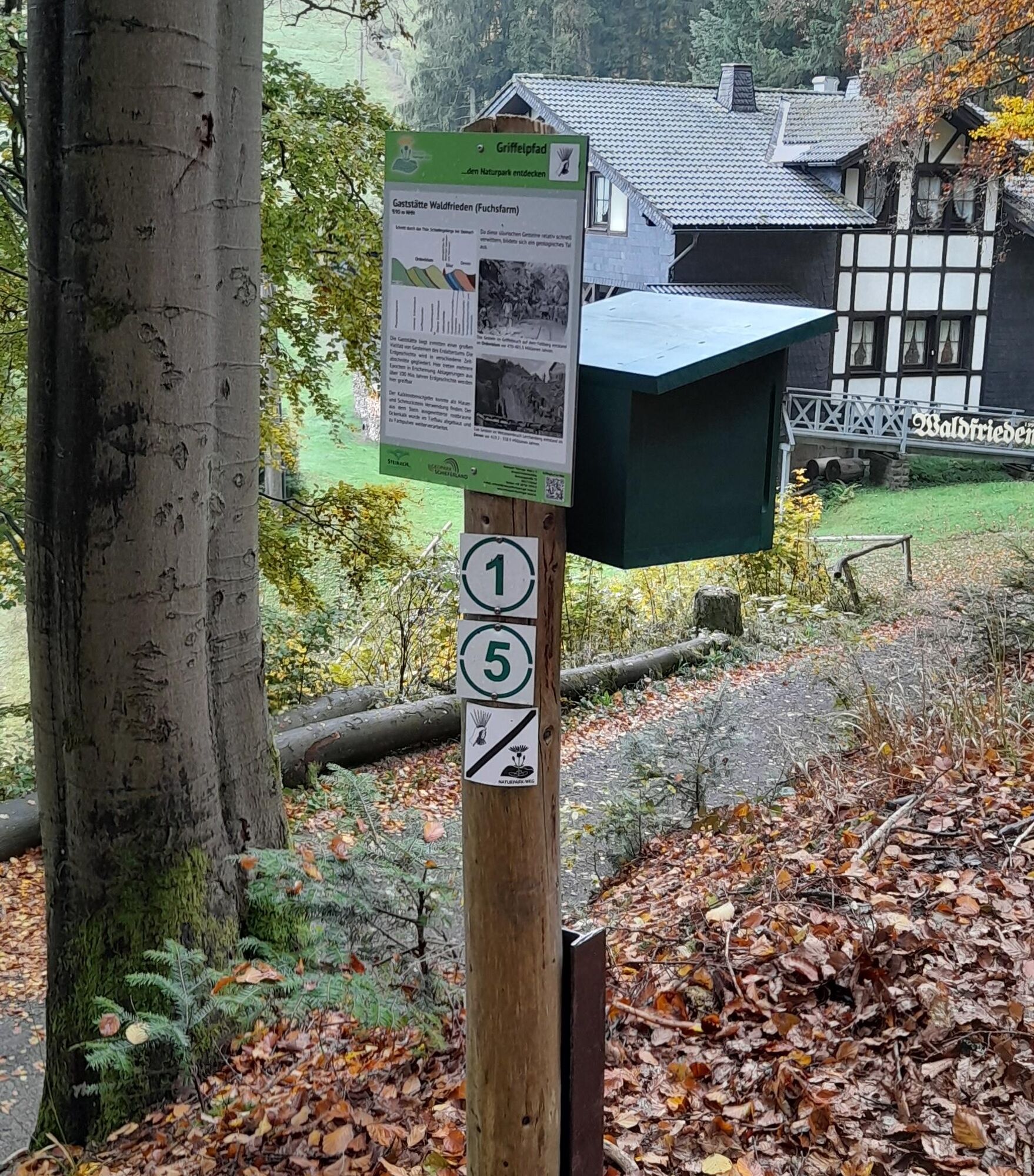
At 600 m altitude, we arrive at the forest inn "Waldfrieden," also called "Fuchsfarm" by locals, known for good cheese bread and homemade cake.
The path to town is initially flat from here. Then it steeply descends through the Stein stream back to the market square.




Steinach Market – Hämmerer Plain – Röthen Spring – Fellberg Hut – Leierloch Trail – Waldfrieden/Fuchsfarm – Steinach Market
Áno
Sturdy footwear
First aid kit
Drink supplies (especially in high temperatures)
GPS device or GPS-enabled smartphone with onboard map material
Please always be aware of dangers from logging and storm damage during your hike. Regularly look above and always follow the instructions of the forestry staff.
You will partly walk on narrow trails. Due to the risk of slipping, avoid stepping on moss-covered stones and rocks, and watch out for deadwood, branches, and fallen trees.
Coming from the A73, exit 5 Eisfeld Nord, continue via B281 towards Eisfeld. At the roundabout take the third exit onto B281 towards Neuhaus am Rennweg. In the center of Steinheid turn right onto L1148 towards Lauscha. At the junction, keep towards Steinach and follow L1148 into the center of Steinach.
You can reach Steinach by Deutsche Bahn trains.
Use the following link to the Deutsche Bahn travel portal for travel planning:
Simply enter your starting point and the desired travel period.
Steinach Market Square (Google NAV point)
Získajte prehľad
Vždy naživo na mieste s viac ako 9 500 webovými kamerami. bergfex Ako používateľ Pro si teraz môžete pozrieť príslušné webové kamery pre mnohé zájazdy v aplikácii zájazdy z. Môžete si tak priamo prezerať aktuálne podmienky.
Obľúbené výlety v okolí
-
5,0
Circular hiking route - TOP 1 - Werra Source - Masserberg - Thuringian Forest
strednáTuristika 5,94 km -
Circular route - "When Rennsteig meets the Schwarzatal panorama path" - Limbach
strednáTuristika 9,68 km -
4,0
Circular hiking trail - TOP 2 - Masserberg - "Cultural Experience" - Friedrichshöhe - Thuringian Forest
strednáTuristika 15,2 km -
Circular hike - Around the pumped-storage power plant - Goldisthal
strednáTuristika 19,5 km -
Circular hiking trail - TOP 5 - "Family Fun" - House of Nature Goldisthal - Masserberg - Thuringian Forest
strednáTuristika 8,12 km -
Terrain therapy trail Masserberg - TKW 4 Sommerberg/Dreiherrenstein - Thuringian Forest
strednáTuristika 7,28 km -
Nature Park Trail - Griffel Path in the Thuringian Forest
ťažkéTematická trasa 6,45 km -
Panoramaweg Schwarzatal - 3rd stage Cursdorf to Scheibe-Alsbach - Thuringian Forest
ťažkéTuristika 18,8 km -
Rundweg Muppberg Ne2
strednáTuristika 3,46 km -
Circular Hike - "Schaumberger Land Panorama Trail" - Eisfeld - Thuringian Forest
ťažkéTuristika 74,2 km
Turistika a stopovanie


Nenechajte si ujsť ponuky a inšpiráciu na ďalšiu dovolenku
Vaša e-mailová adresa bol pridaný do poštového zoznamu.





