


Circular hike - "Panorama Trail Schaumberger Land" - Eisfeld - Thuringian Forest
"The land before the forest" - this is what travelers lovingly called the "Schaumberger Land" when they left the gentle Main Franconian hills behind and saw the dense forests of the High Slate Mountains...
"The land before the forest" - this is what travelers lovingly called the "Schaumberger Land" when they left the gentle Main Franconian hills behind and saw the dense forests of the High Slate Mountains ahead.
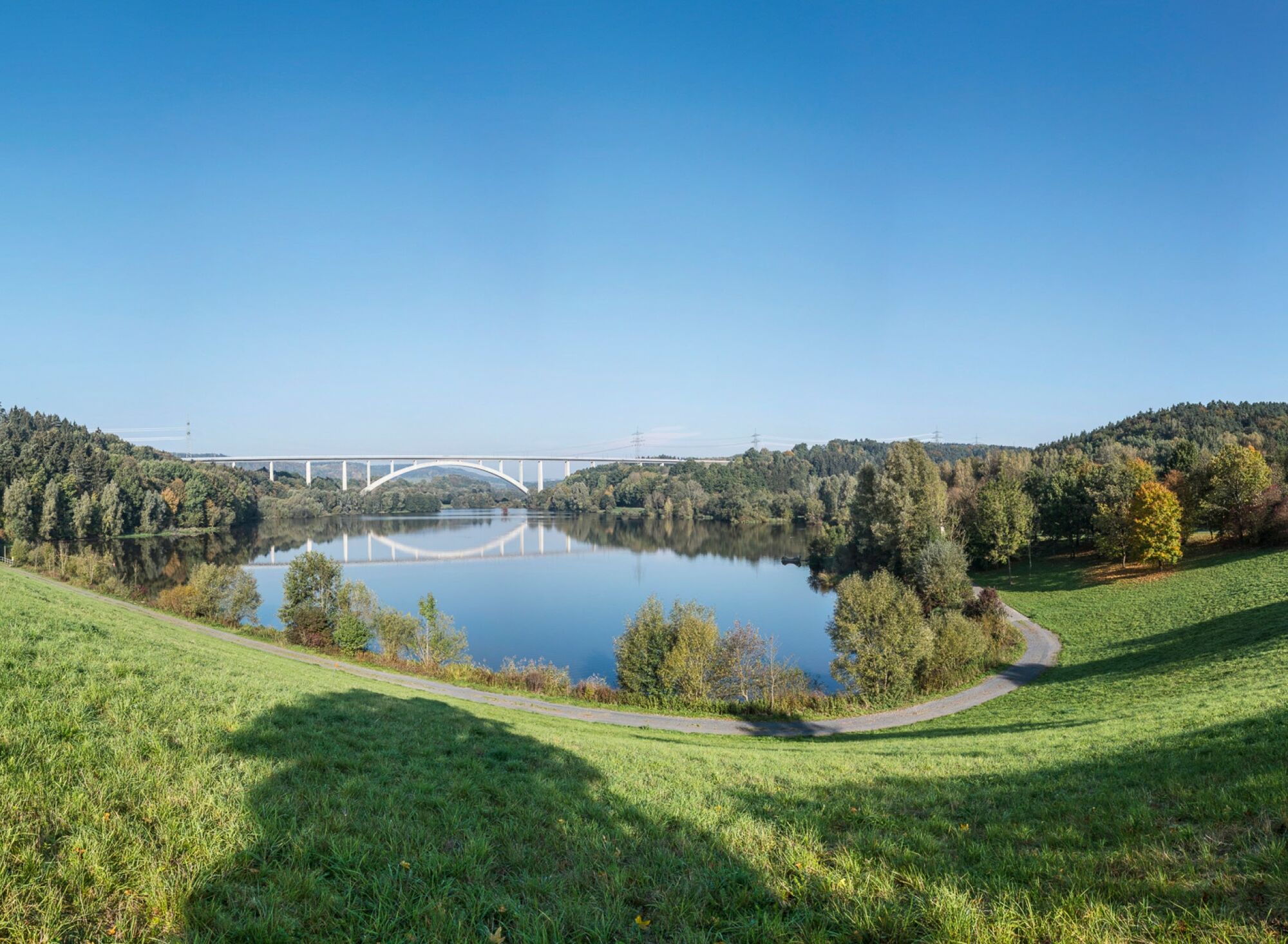
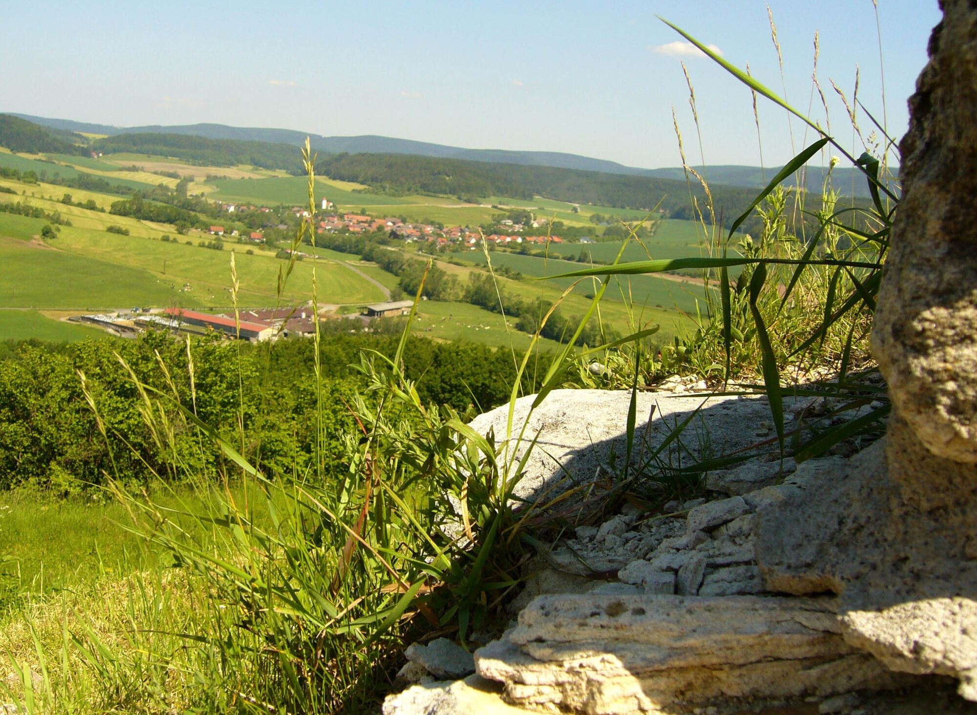
The panorama trail offers exactly this view and thus connects the Rennsteig region with the "Coburg Land" up to the Upper Main. It runs through five Thuringian and two Bavarian municipalities. In between lies a landscape with lush green hills, romantic forests, and valleys that captivate with breathtaking distant views.
The path is appealing due to the changing landscapes and offers many wonderful panoramas and wide views: into Coburg Land, Thuringian Forest, and Thuringian Slate Mountains.
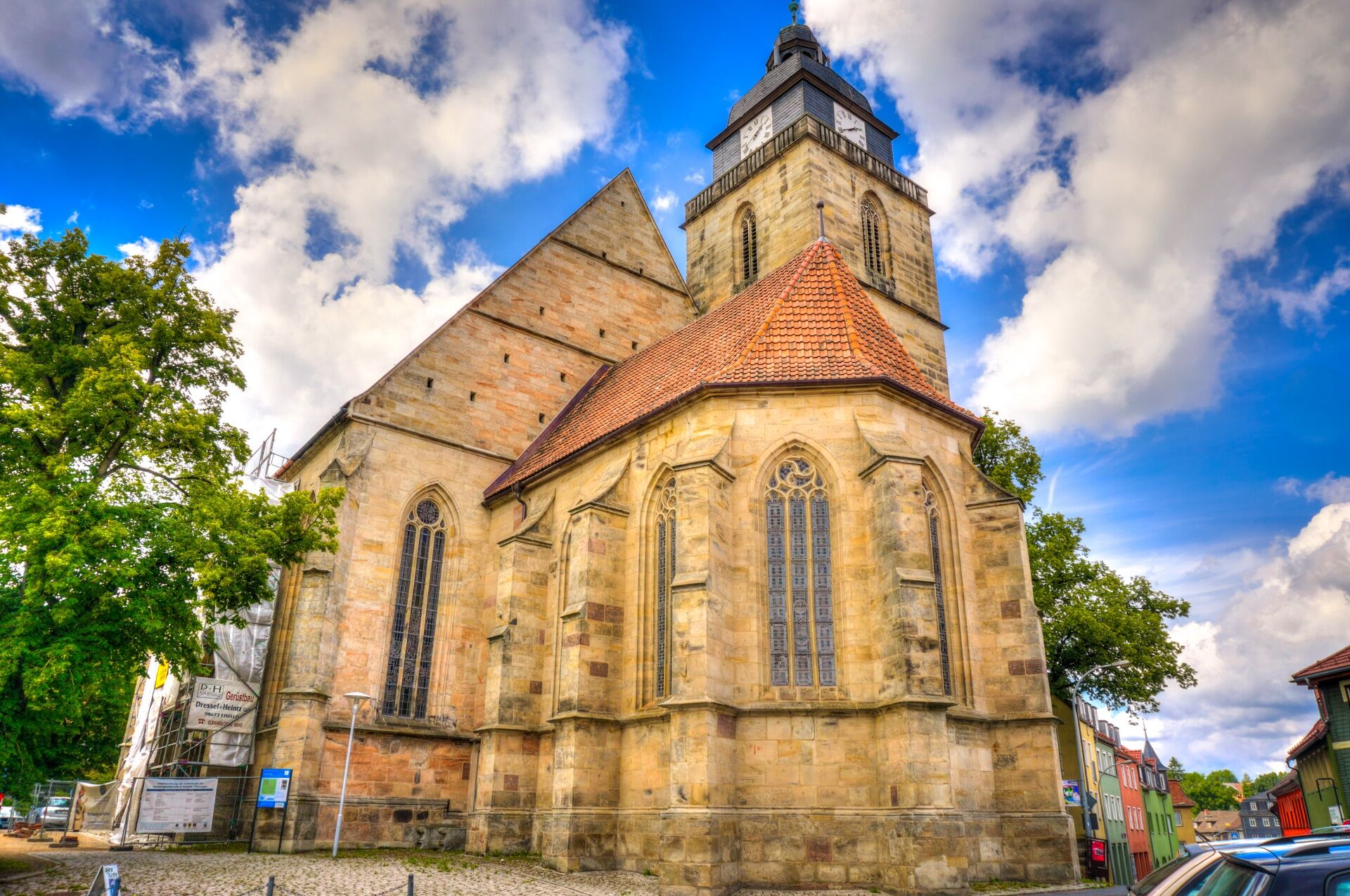
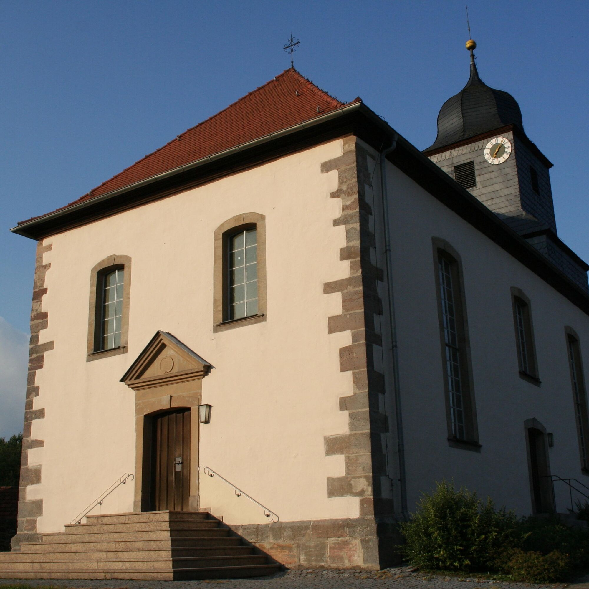
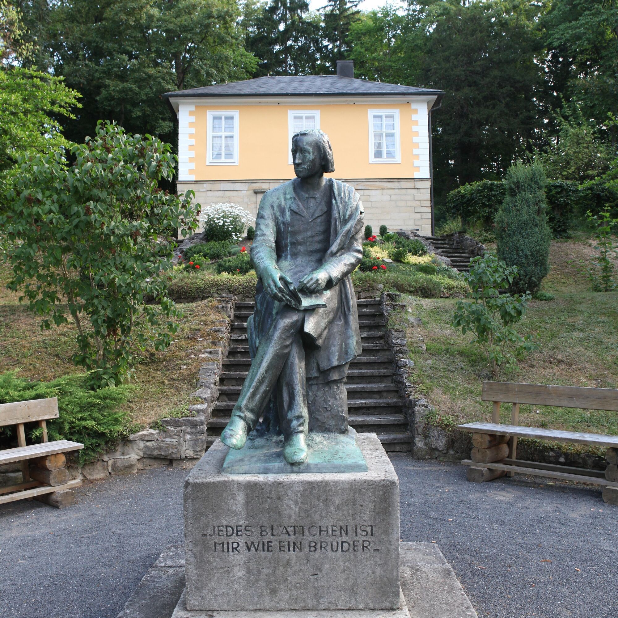
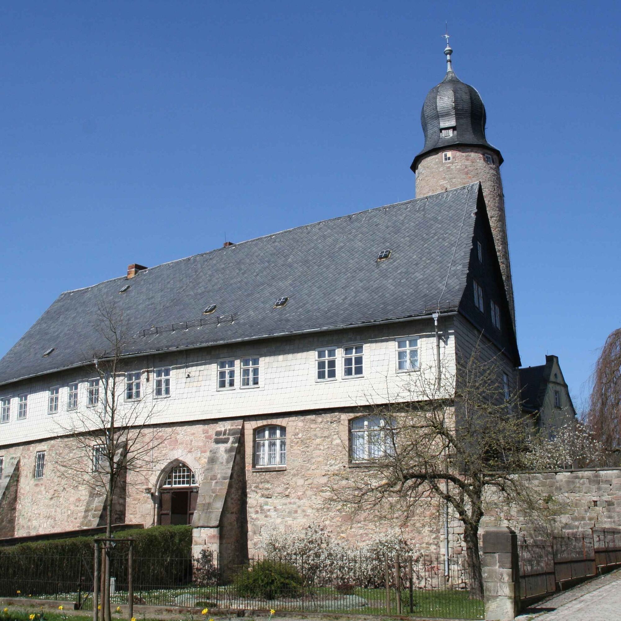
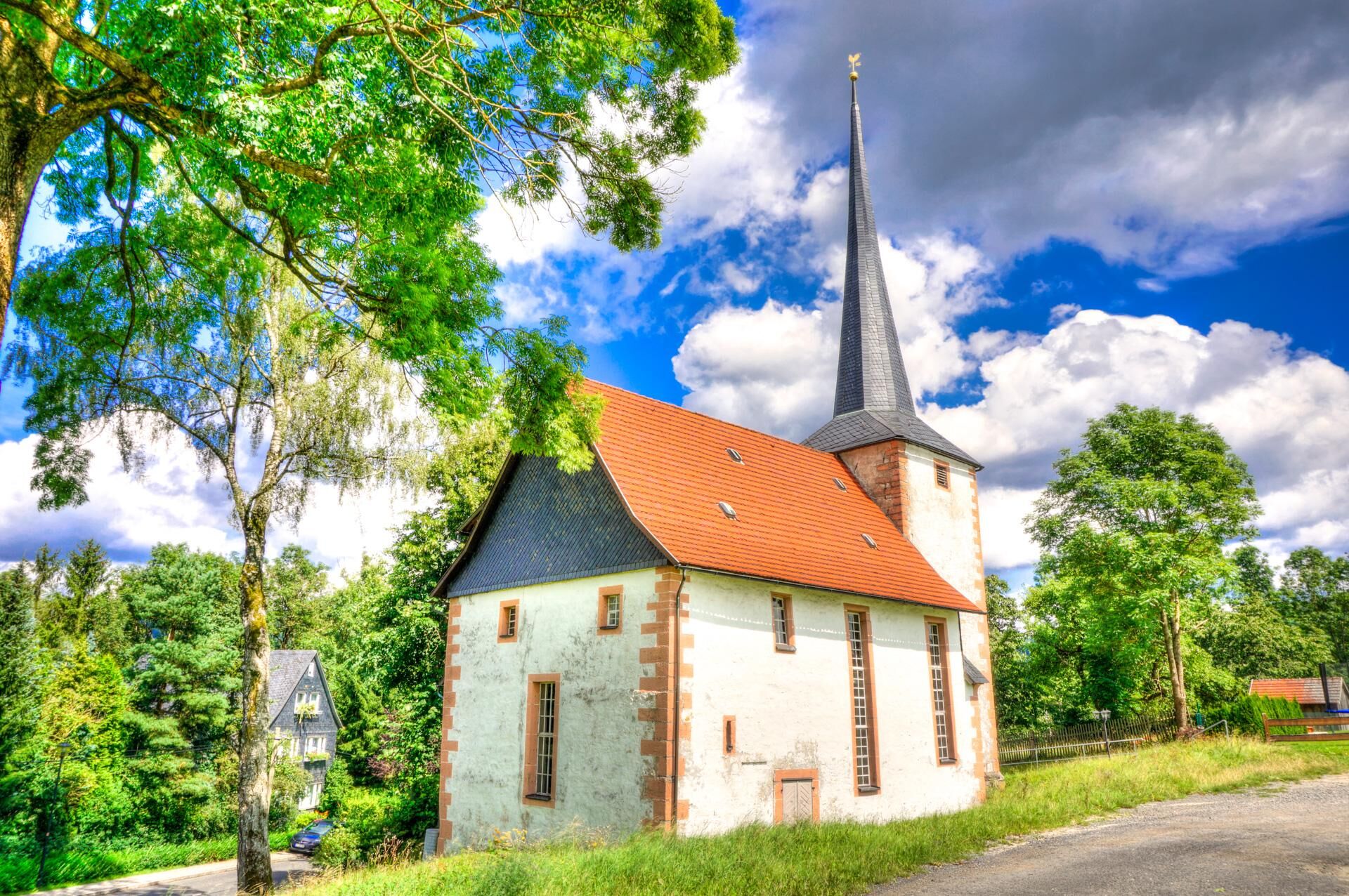
Along the path are numerous museums, romantic castle ruins, hidden caves, and many other sights.
Another special feature of the path: in the southern section hikers can discover many valuable biotopes along the Green Belt, the former inner-German border.


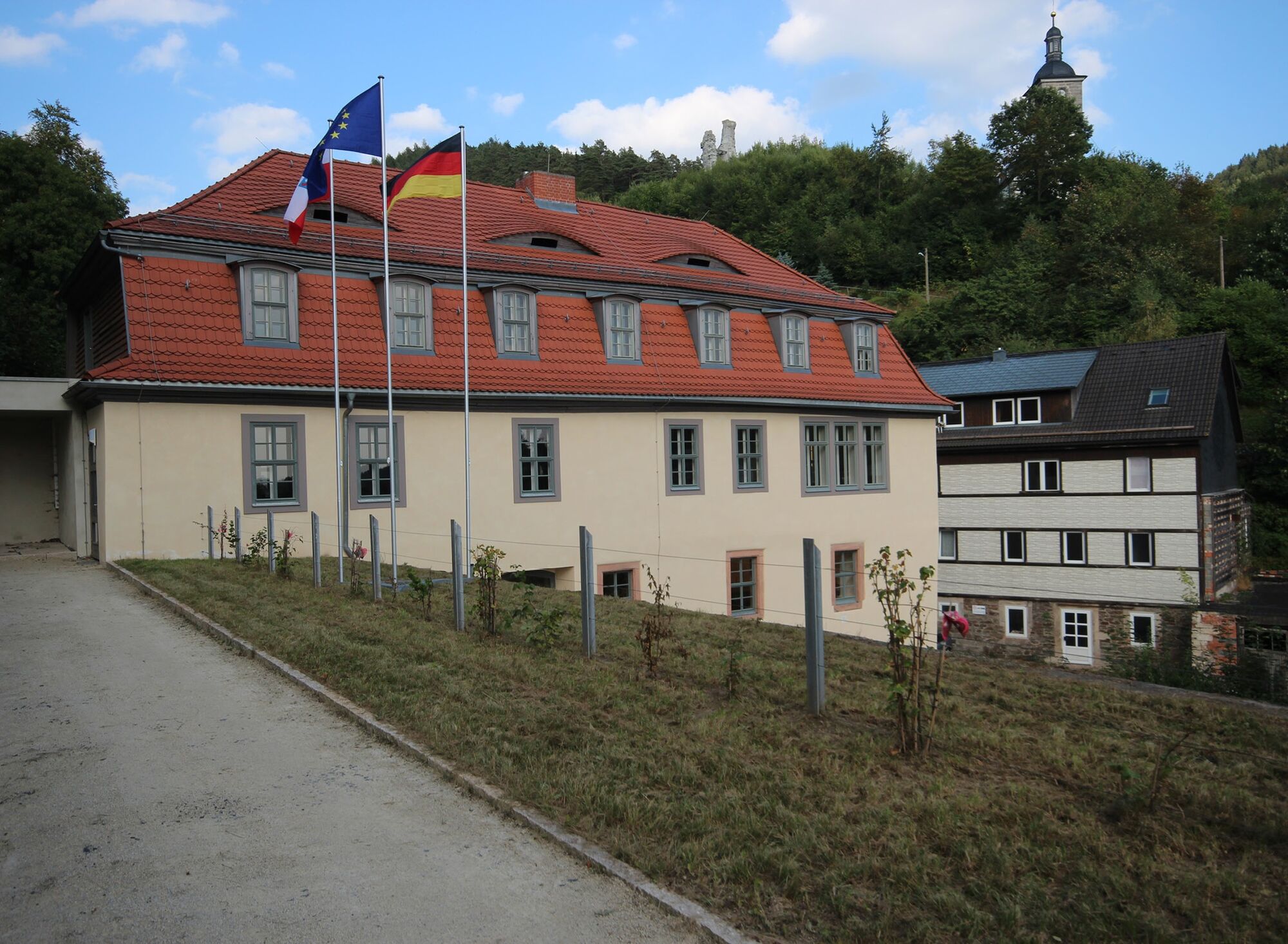
Eisfeld - Steudach - Heid - Rottenbacher Moor - Görsdorf - Truckendorf - Emstadt - Almerswind (Kolonnenweg) - Weißenbrunn vorm Wald - Froschgrundsee - Döhlau - Former Korberoth - Tauplitzer Berg - General's View - Isaak - Forschengereuth - Great Mühlberg - Hämmere Plain - Augustenthal - Wasserberg Spring - Grabengut - Strohberg - Rabenäußig - Meschenbach - Rauenstein Castle Ruins - Straßenberg - Theuern - Stege - Truckenthaler Location - Mittelberg - Stilts - Mühlberg - Sachsenbrunn - Sachsendorf - Eisfeld
Áno
sturdy footwear
rainwear
drink supply
first aid kit
GPS navigation device or smartphone
camera
Coming from the A73 take exit 5 (Eisfeld-Nord) and continue on the B281 to the first roundabout, then take the second exit and continue on Schleusinger Straße to Eisfeld.
This circular hiking trail can of course be started from different points. Our recommendation is the starting point Eisfeld (best infrastructural access and with return transfer from halfway [Mengersgereuth-Hämmern])
You can reach Eisfeld by the trains of the South Thuringia Railway. Use the following link for direct travel planning and just enter your starting point:
Travel to Eisfeld
Return trip to Eisfeld from Mengersgereuth-Hämmern East (end of stage 1):
Direct connection search - Mengersgereuth-Hämmern East → Eisfeld
Use the free parking spaces at the community center (Google NAV point)
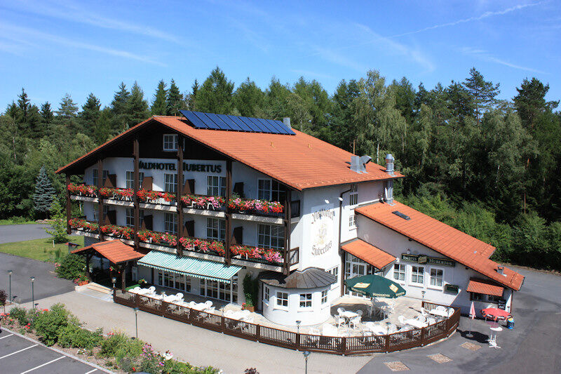
Divide this picturesque landscape into two stages and for example stay overnight in the picturesque Guesthouse "Matthes" in Froschengereuth.
Webové kamery z prehliadky
Obľúbené výlety v okolí
-
5,0
Circular hiking route - TOP 1 - Werra Source - Masserberg - Thuringian Forest
strednáTuristika 5,94 km -
4,0
Circular hiking trail - TOP 4 - Masserberg - Fehrenbach Switzerland - Thuringian Forest
strednáTuristika 11,5 km -
Circular route - "When Rennsteig meets the Schwarzatal panorama path" - Limbach
strednáTuristika 9,68 km -
Circular route - TOP 3 - hike with a view - Masserberg - Thuringian Forest
strednáTuristika 17,3 km -
4,0
Circular hiking trail - TOP 2 - Masserberg - "Cultural Experience" - Friedrichshöhe - Thuringian Forest
strednáTuristika 15,2 km -
Circular hike - Around the pumped-storage power plant - Goldisthal
strednáTuristika 19,5 km -
Teufelskanzel-Saulochklamm-Einberg
strednáTuristika 7,73 km -
Terrain therapy trail Masserberg - TKW 4 Sommerberg/Dreiherrenstein - Thuringian Forest
strednáTuristika 7,28 km -
Circular hiking trail - TOP 5 - "Family Fun" - House of Nature Goldisthal - Masserberg - Thuringian Forest
strednáTuristika 8,12 km -
Nature Park Trail - Griffel Path in the Thuringian Forest
ťažkéTematická trasa 6,45 km
Turistika a stopovanie


Nenechajte si ujsť ponuky a inšpiráciu na ďalšiu dovolenku
Vaša e-mailová adresa bol pridaný do poštového zoznamu.