







Ötztaler Urweg E3 Niederthai - Längenfeld


PICTURE-BOOK PASTURES
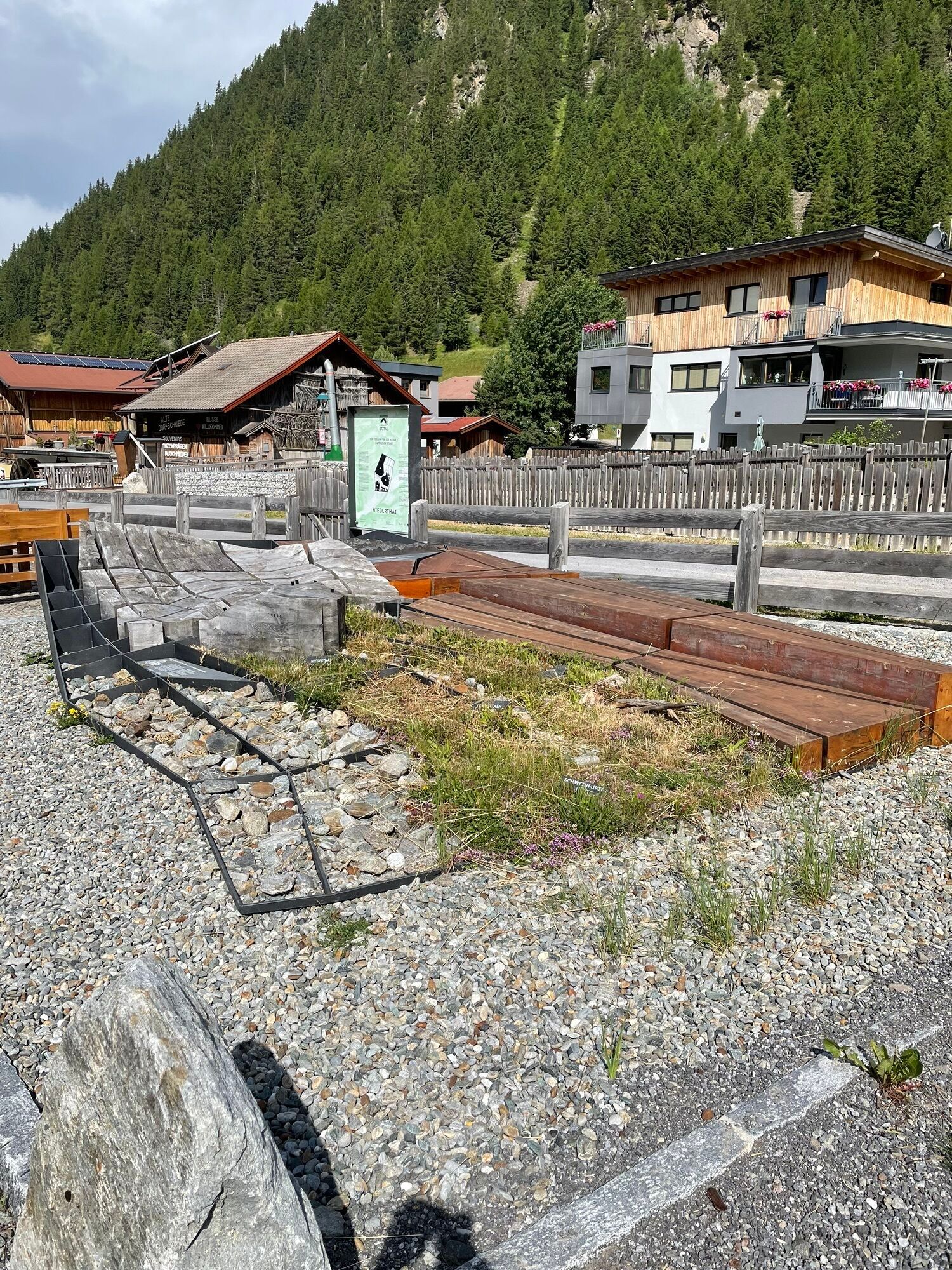
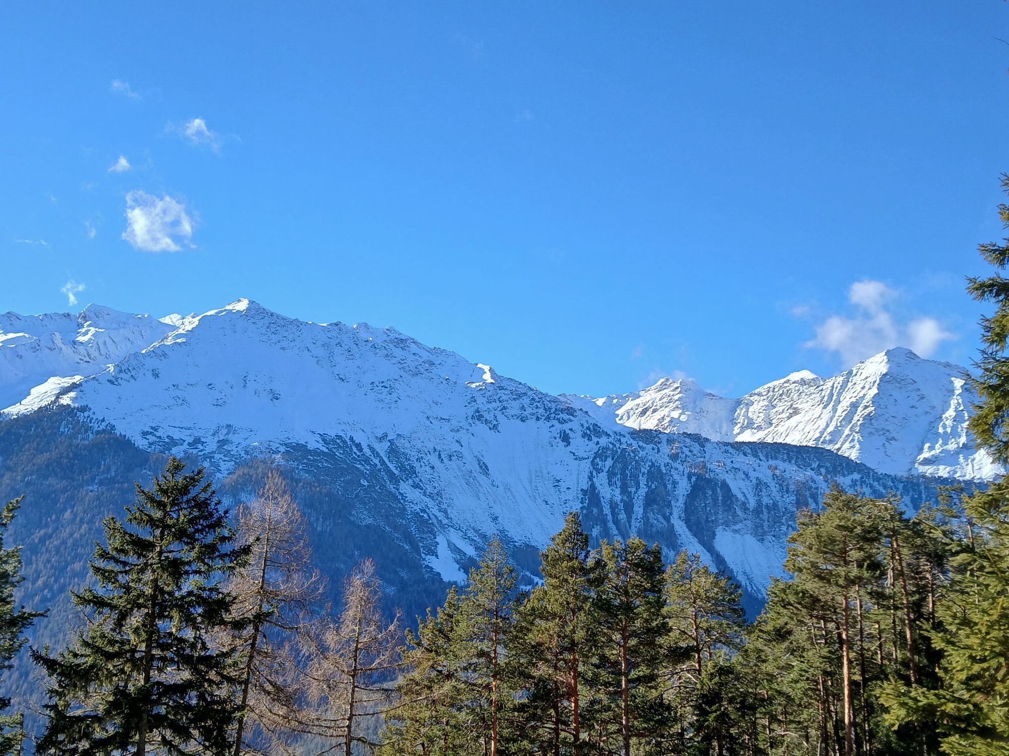
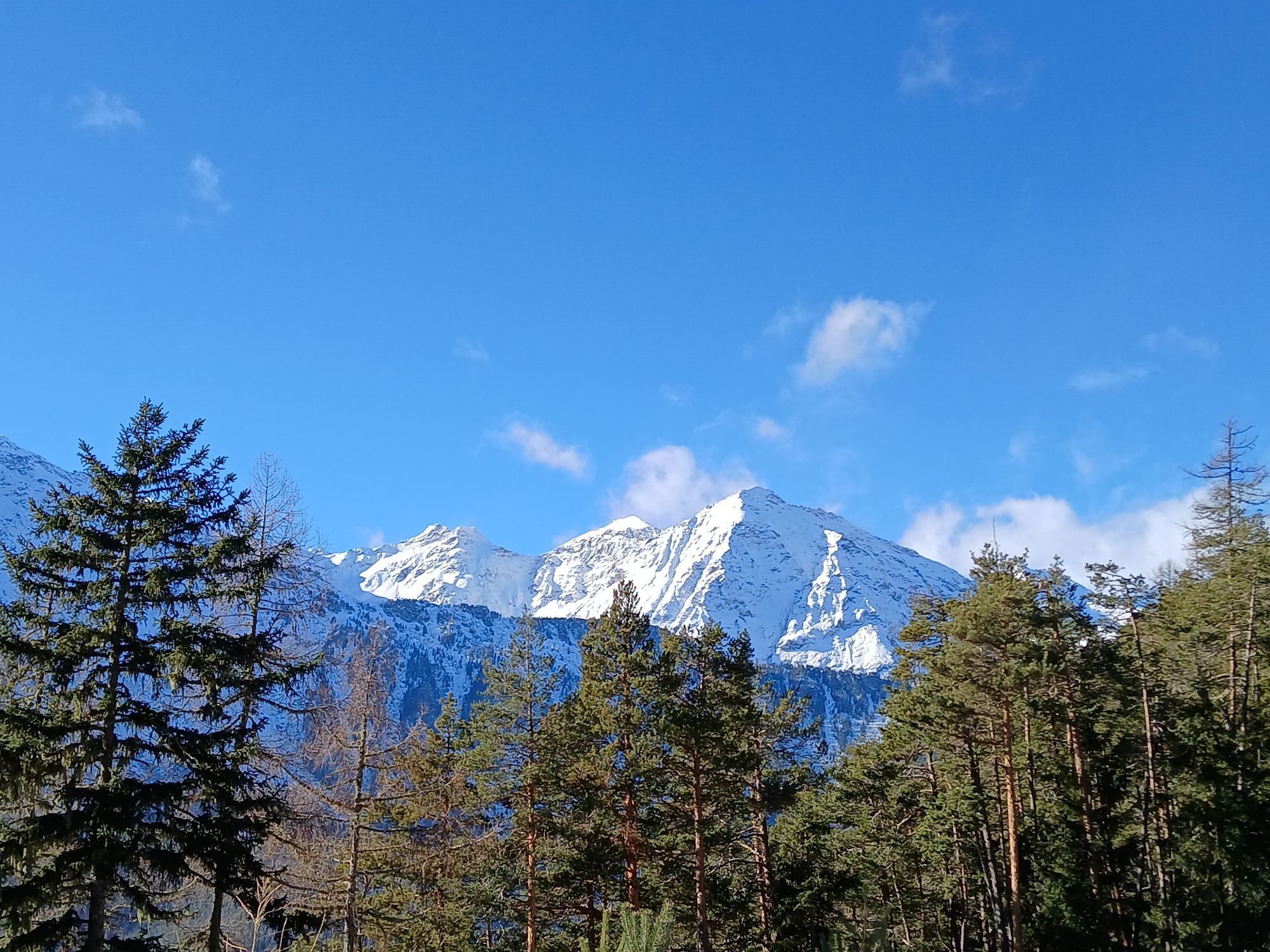
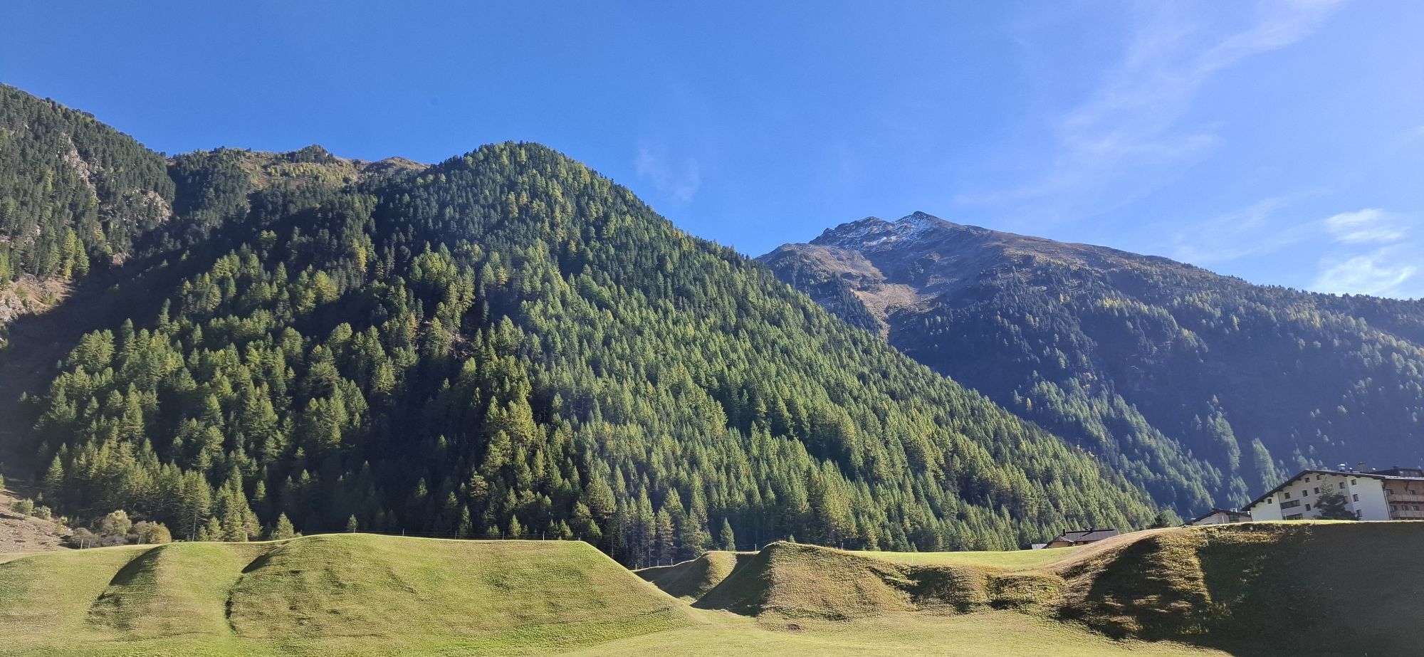
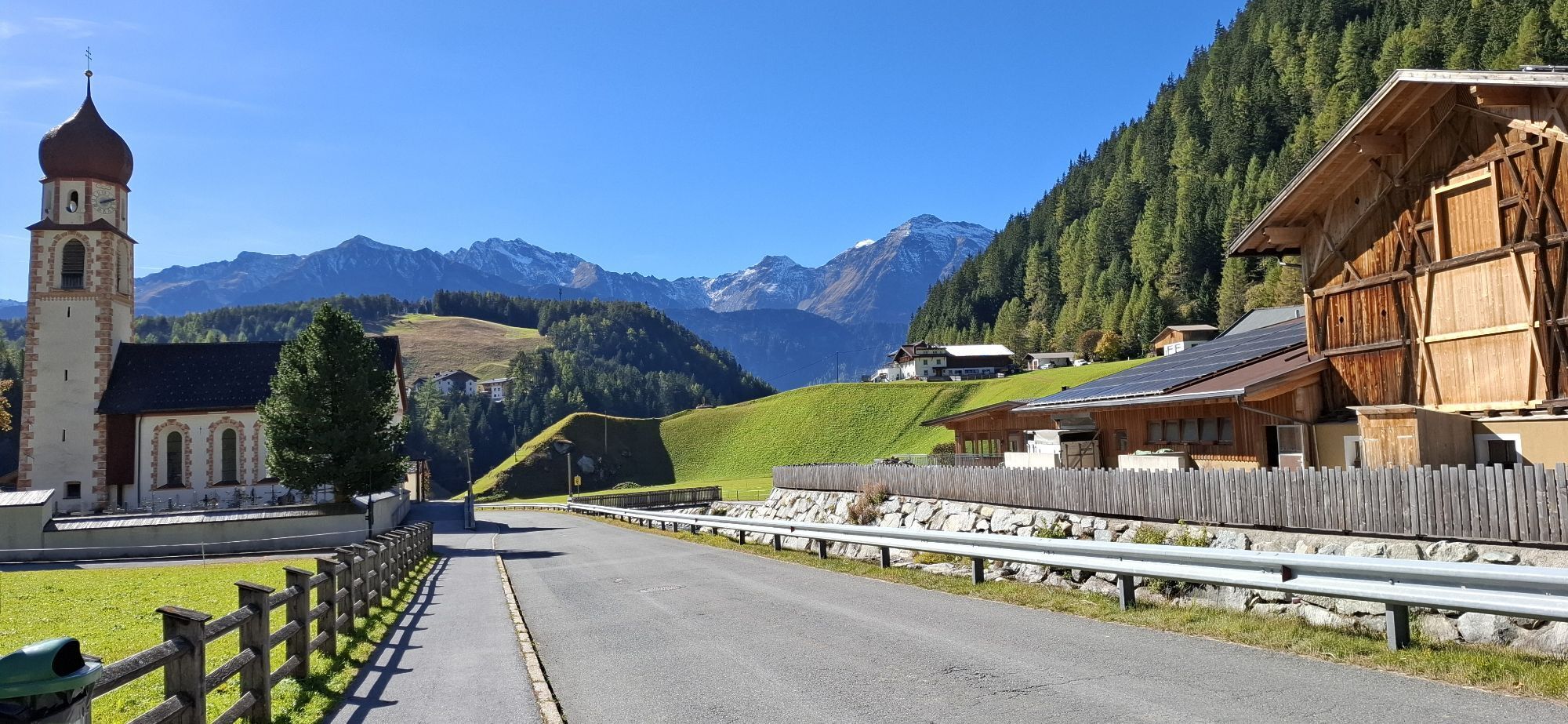
Pure mountain idyll can be found in the small Alpine village of Niederthai. Heading a little further it becomes even more romantic: at the heart of the forest and a nice-smelling...
PICTURE-BOOK PASTURES
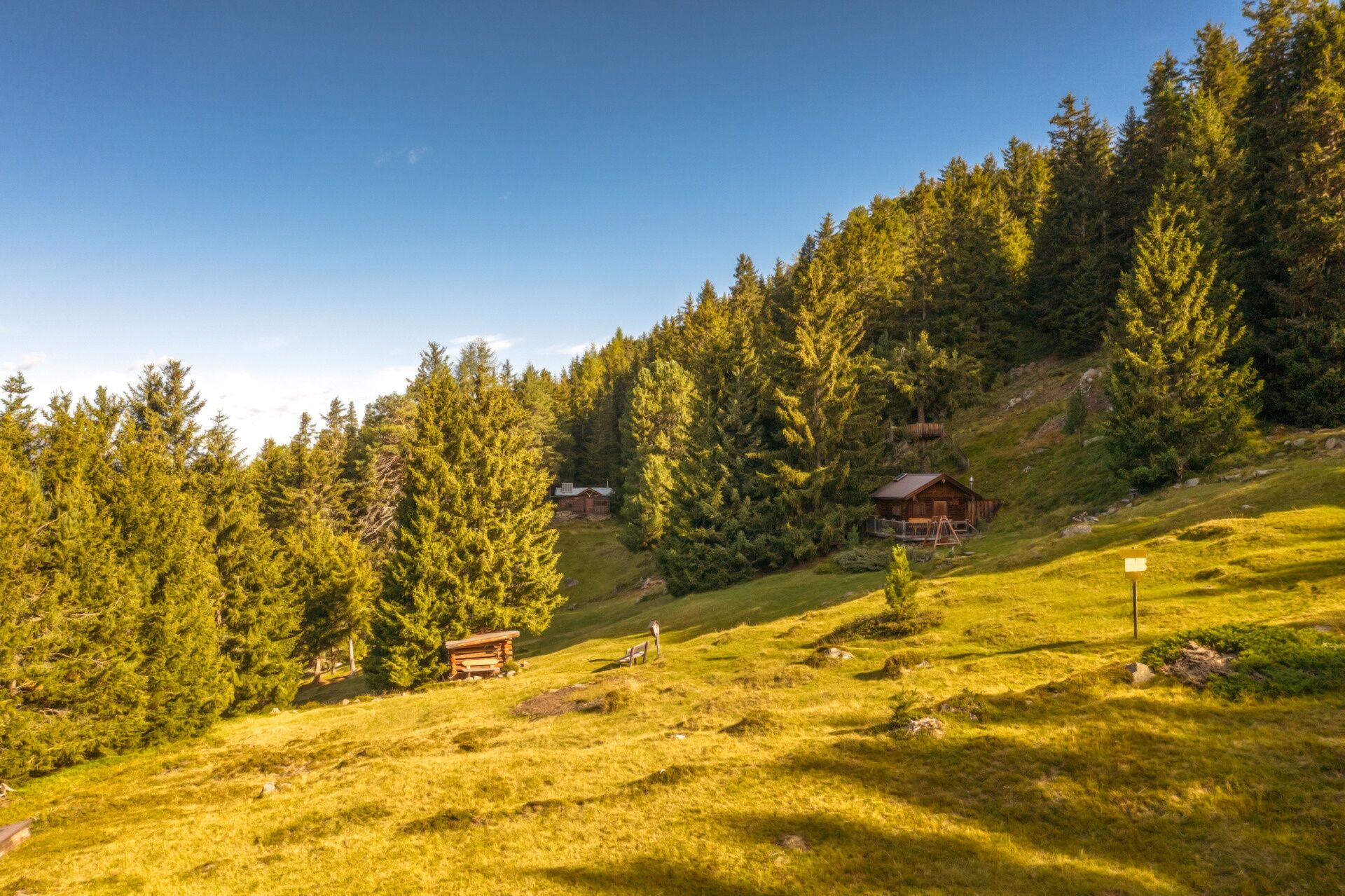
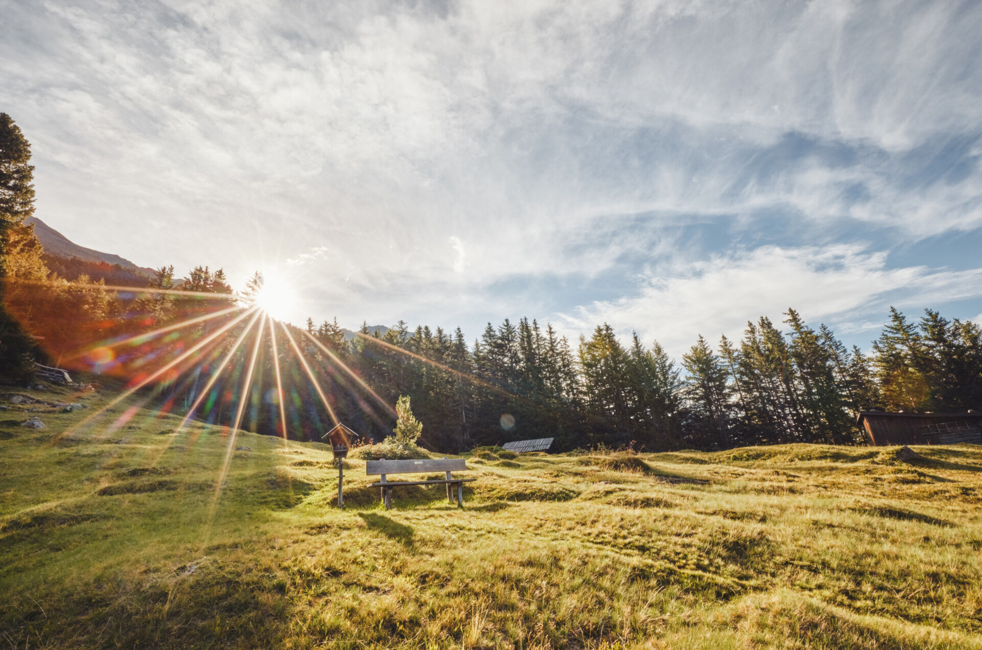
Pure mountain idyll can be found in the small Alpine village of Niederthai. Heading a little further it becomes even more romantic: at the heart of the forest and a nice-smelling mountain meadow there is a small chapel and an adjacent Alpine pasture called Wiesle. As in earlier years, as if time has stopped here. Also at the next stopover, the Hemrach Almen pasturelands, you will inhale this truly authentic flair in unspoilt surroundings.
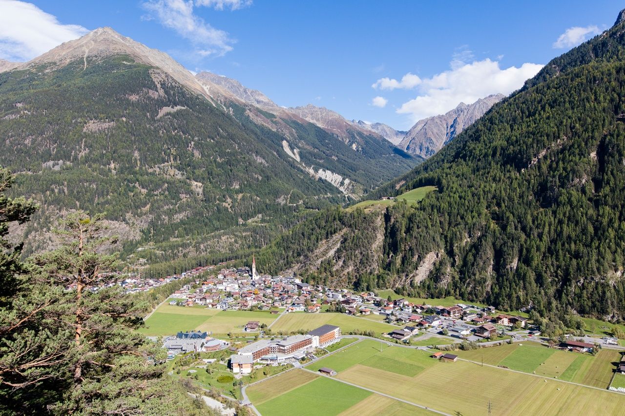
The name of the area already describes the scenery, deriving from "the long field". Down in the valley close to the Strelesperre platform at Fischbach, visitors experience almost "elated moments" while watching the dancing swirls of the Fischbach waters, the biggest feeder brook of the Ötztaler Ache.




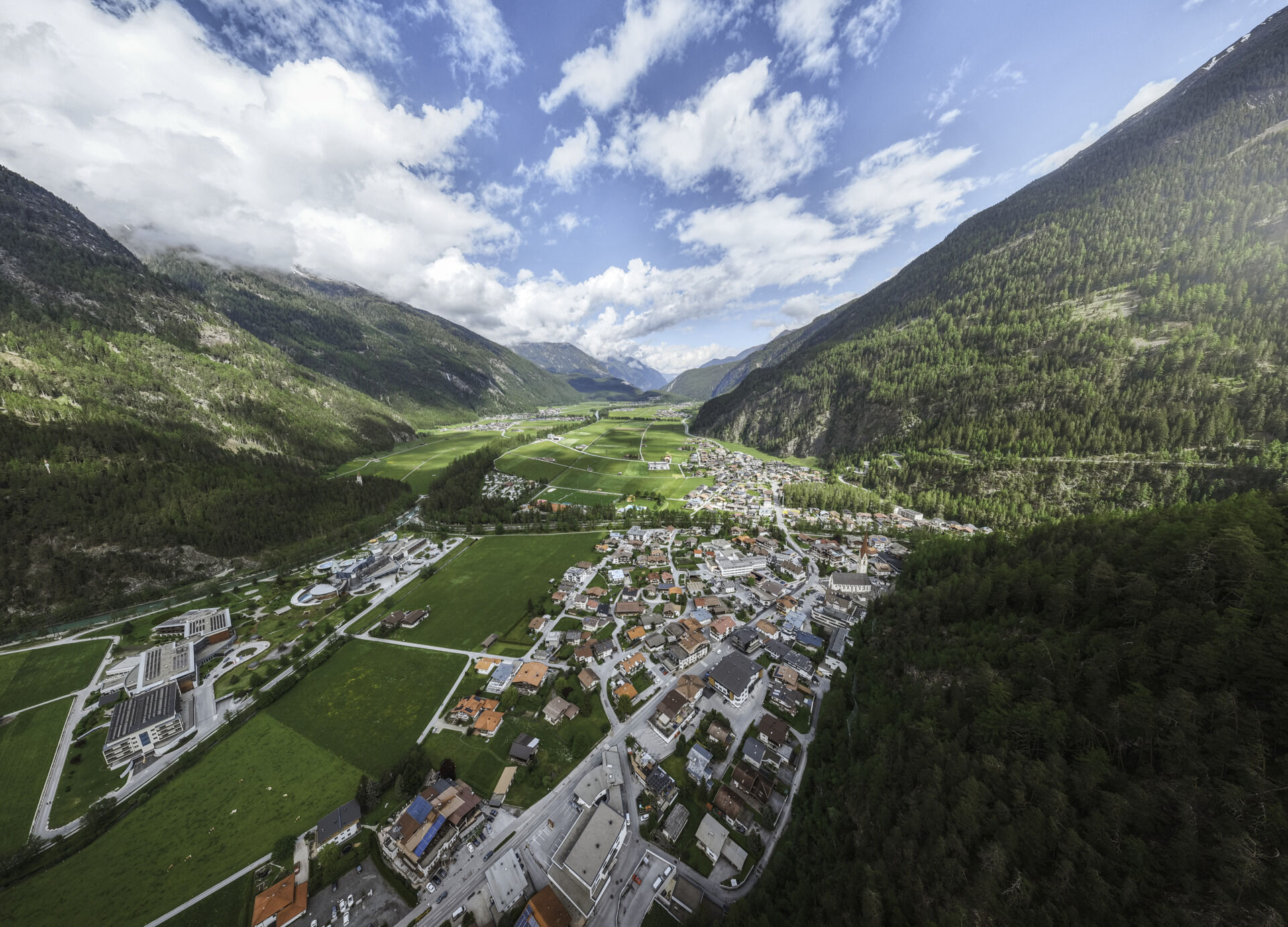

At the Niederthai Information office you turn right and take the road up the hill, past the houses and restaurants, always keeping right to the sports field in the hamlet of Lehn. A wide forest trail now leads to the left, a little steeper at the beginning, up to Mauslasattel. At its top it becomes flat again and at its end it leads down through dense forest.
If you want to take a break, follow the forestpath to Jausenstation Wiesle. The rustic snack station is located in a truly idyllic clearing.
On the descent you leave the meadow and continue on the forest path towards Längenfeld. If you want to go further right away, follow the route through the forest. Soon the path forks off, you take the left route in the direction of Längenfeld. On the ascending trail you pass Hemerachalmen huts, which are not serviced but invite you to take a break.
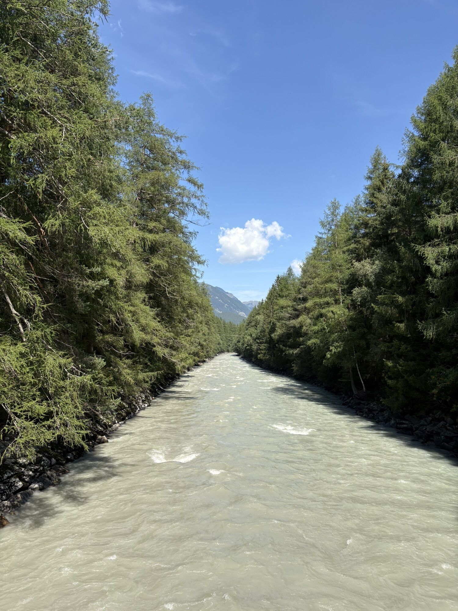
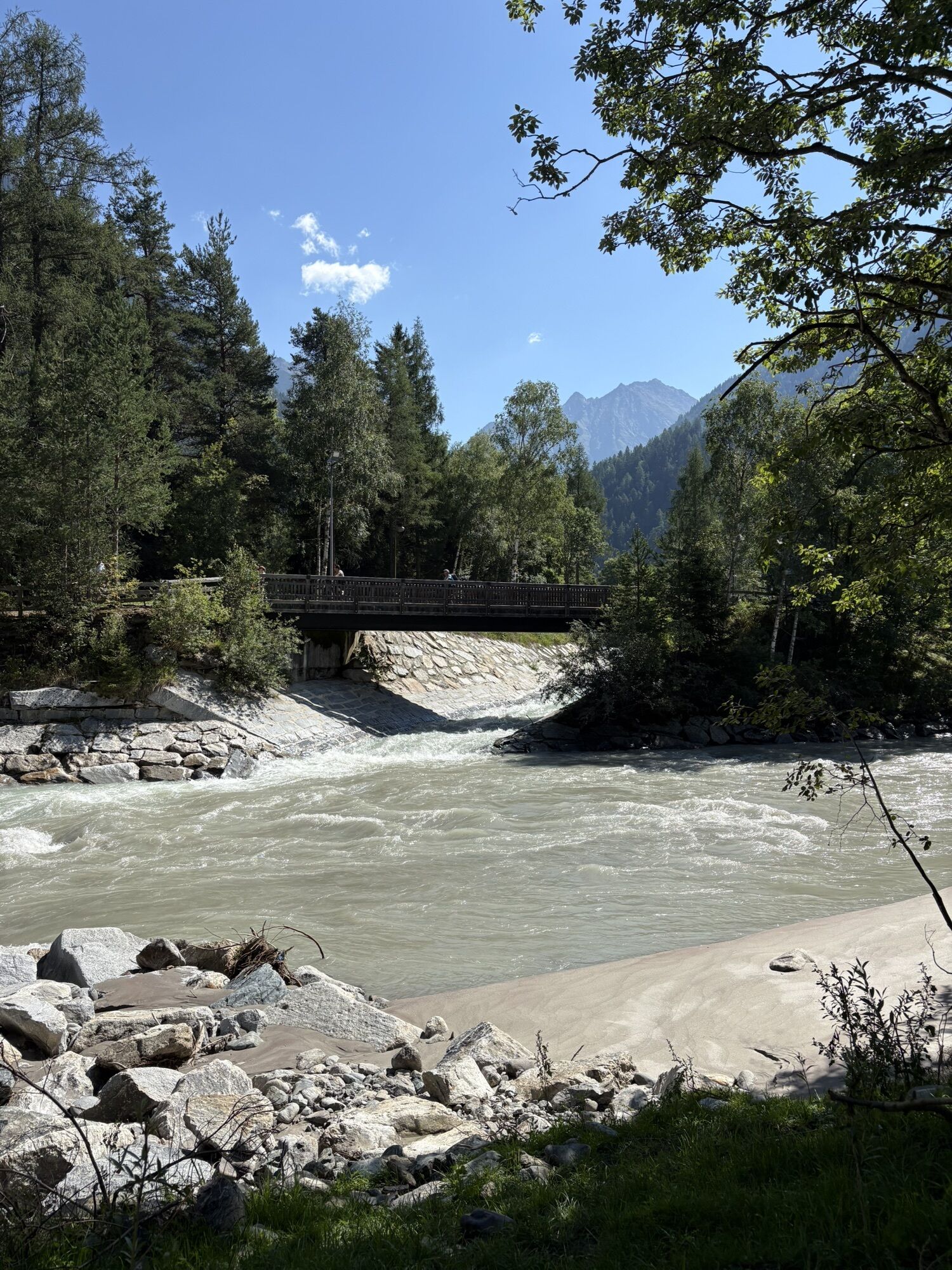
From there a forest trailtakes you down the mountainside to Längenfeld. On the valley floor you get to the hamlet of Dorf-Espan via an underpass. In Dorf you turn slightly to the right, past the houses in Espan and to Ötztaler Ache. From here you continue along the river shore of Ötztaler Ache, across the flat valley basin to Unterlängenfeld.
At Fischbach brooklet you turn left and follow the largest feeder of the Ache to the main road in Längenfeld. Along the sidewalk you enjoy a stroll through the center of the village.
Appropriate equipment such as breathable suitable outdoor clothes for the weather, is for all hikes and tours necessary. Please bring a first-aid box, a mobile phone, a walking map and if there is no hut on the way a snack and enough to drink.
Moderate mountain trail; for sure-footed and experienced hikers. Good physical condition, mountain experience & mountain equipment (see notice equipment) necessary. Please pay attention to the current weather report
- Sennhof Parking Lot | chargeable | Multi-day ticket available
- Lehen Village (Football Field) | chargeable | Only single-day tickets available
Did you know that…
... in Gries / Sulztal valley several hot sulfur springs were discovered already in 1864? Längenfeld has become a world famous thermal spa region thanks to its beneficial and healing effects!
More details about hiking In Ötztal: https://www.oetztal.com/wandern
Webové kamery z prehliadky
-
Niederthai im Ötztal
-
Niederthai - Alpin Appart
-
Skilift Gries im Ötztal
-
Therme Längenfeld
-
Therme Längenfeld
-
Therme Längenfeld
-
Therme Längenfeld
-
Therme Längenfeld
-
Längenfeld - Ortsblick
-
Gries - Längenfeld
-
Umhausen - Vivea Gesundheitshotel
-
Umhausen - der Veitenhof
-
Stuibenfall
-
Stuibenfall
-
Stuibenfall
-
Stuibenfall
-
Stuibenfall
-
Umhausen / Hotel Tauferberg
-
Niederthai - Delano
-
Niederthai - Delano
Získajte prehľad
Vždy naživo na mieste s viac ako 9 500 webovými kamerami. bergfex Ako používateľ Pro si teraz môžete pozrieť príslušné webové kamery pre mnohé zájazdy v aplikácii zájazdy z. Môžete si tak priamo prezerať aktuálne podmienky.
Obľúbené výlety v okolí
-
4,7
Winnebachsee Hut – Längenfeld/Gries
strednáTuristika 4,74 km -
4,7
Winter circular route Brandalm/Burgstein - Längenfeld 204
strednáZimná turistika 5,44 km -
4,3
Hike Stuibenfall - Umhausen
svetloTuristika 2,95 km -
4,3
Stuibenfall Umhausen circular hike
svetloTuristika 9,32 km -
4,5
Oetz - Piburger See - Oetz
strednáTuristika 7,16 km -
4,5
Rundwanderung Hängebrück3
svetloTuristika 6,32 km -
4,3
Lampsenspitze, Sellrain, Tirol
strednáSkitour 4,97 km -
4,3
Amberger Hut - Längenfeld/Gries
strednáTuristika 5,60 km -
4,3
Hohe Geige über Gawinden und den Westgrat
ťažkéTuristika 14,3 km -
4,2
Umhausen - Stuibenfall - Umhausen
strednáTuristika 7,94 km
Turistika a stopovanie


Nenechajte si ujsť ponuky a inšpiráciu na ďalšiu dovolenku
Vaša e-mailová adresa bol pridaný do poštového zoznamu.





