



Ötztaler Urweg E11 Umhausen - Sautens






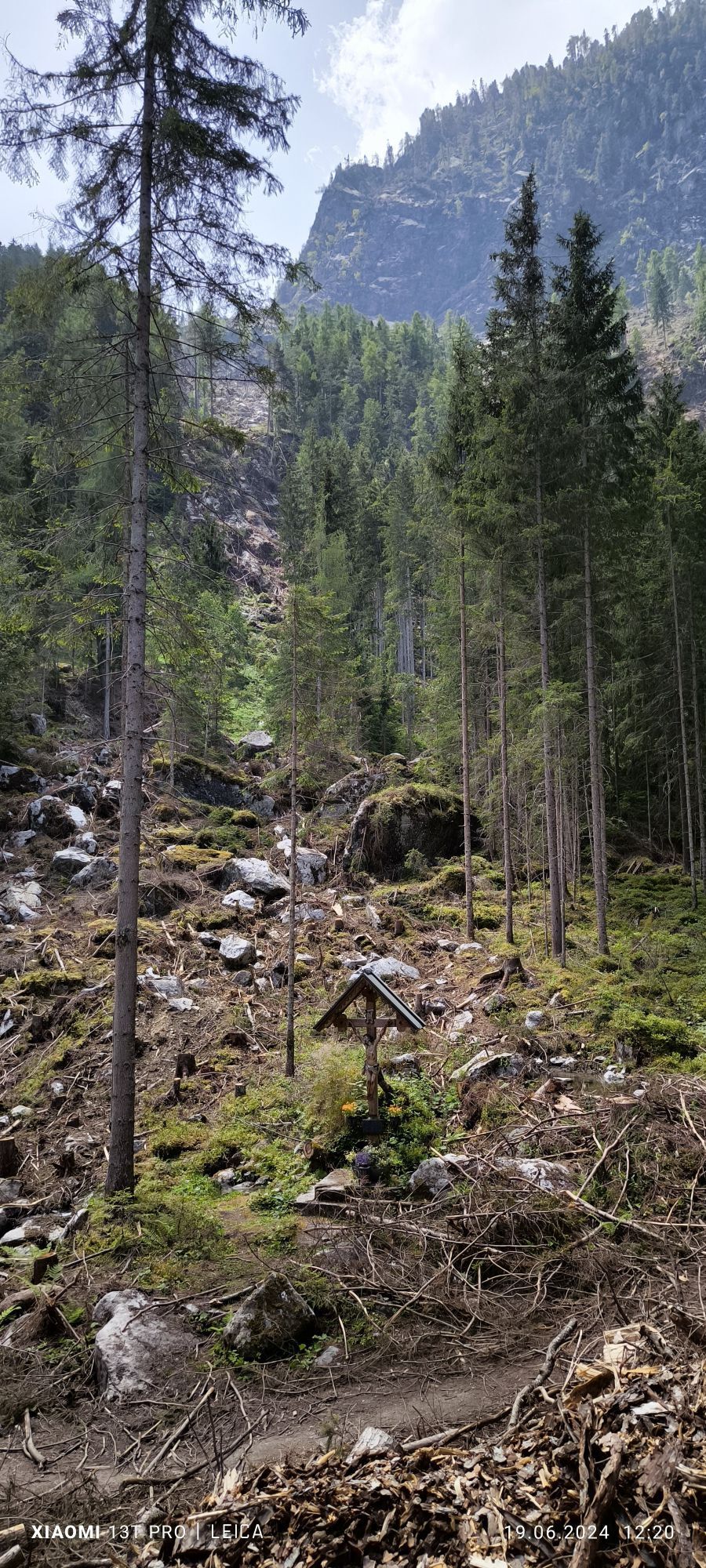
A NATURE TREASURE AMIDST THE DANCE OF ELEMENTS
The elemental power accompanies you on every step through beautiful and varied nature. Refuel your energy at the Stuiben Falls, discover new perspectives...
A NATURE TREASURE AMIDST THE DANCE OF ELEMENTS
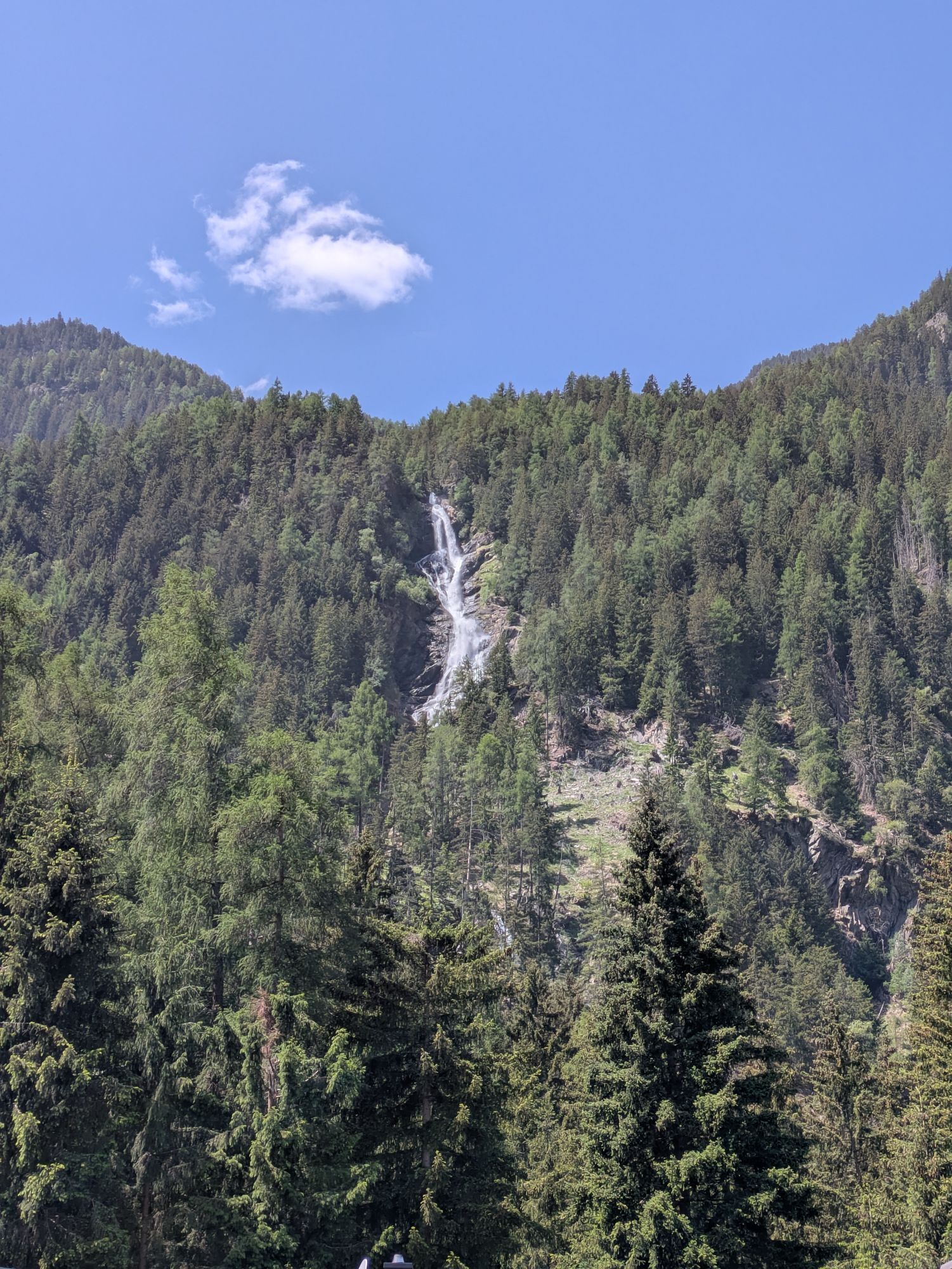
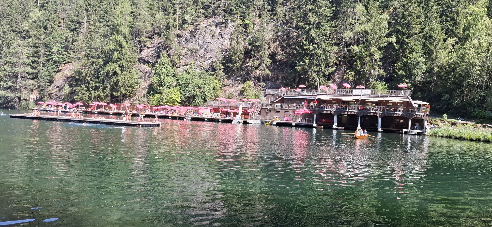
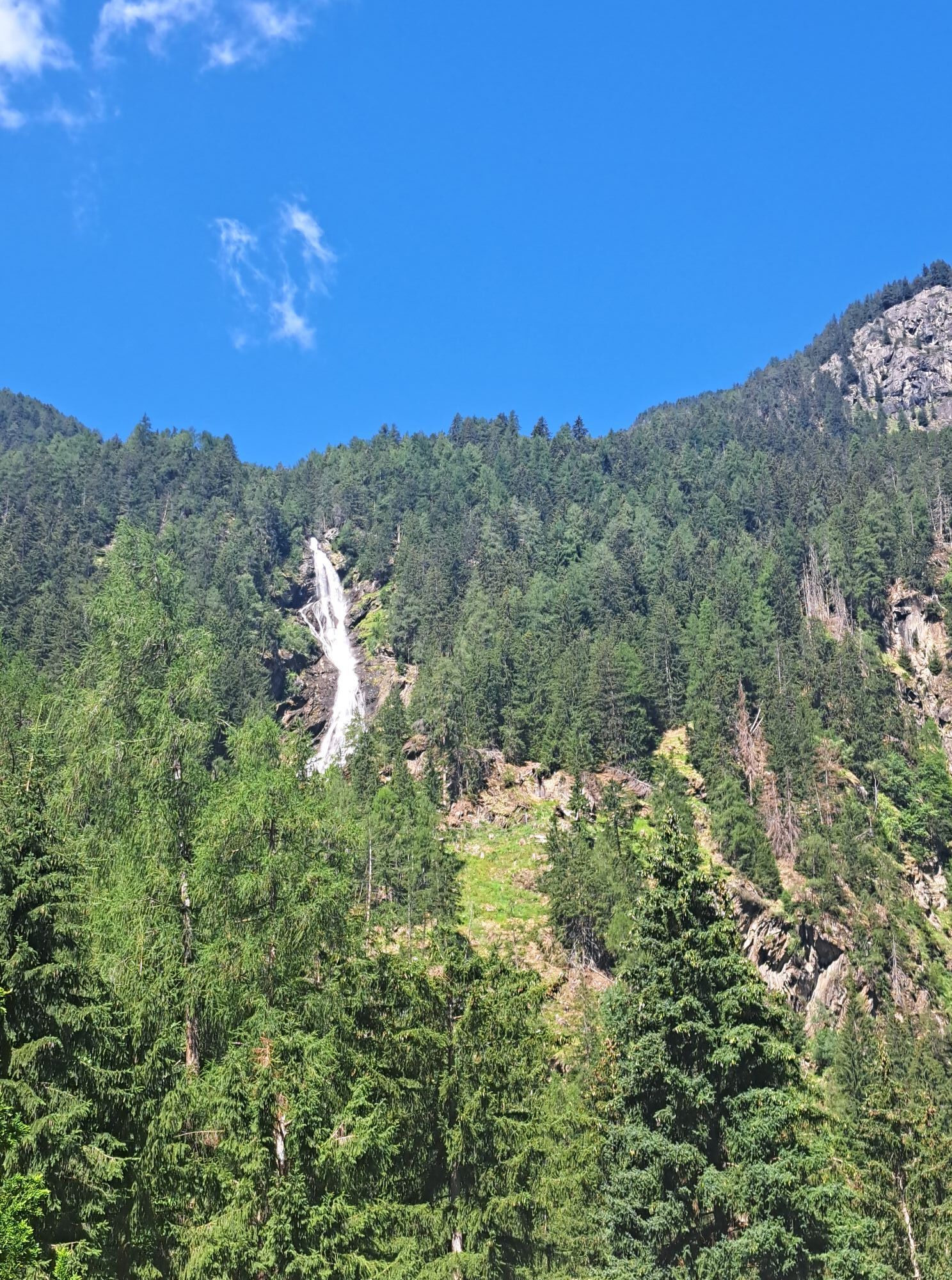
The elemental power accompanies you on every step through beautiful and varied nature. Refuel your energy at the Stuiben Falls, discover new perspectives at the Birds of Prey Park, follow the Iceman's footsteps at the Ötzi Village outdoor park or enjoy deep relaxation in the swimming lake - Umhausen has an elemental experience for all ages.
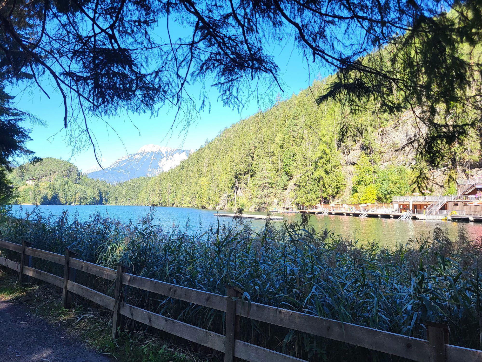
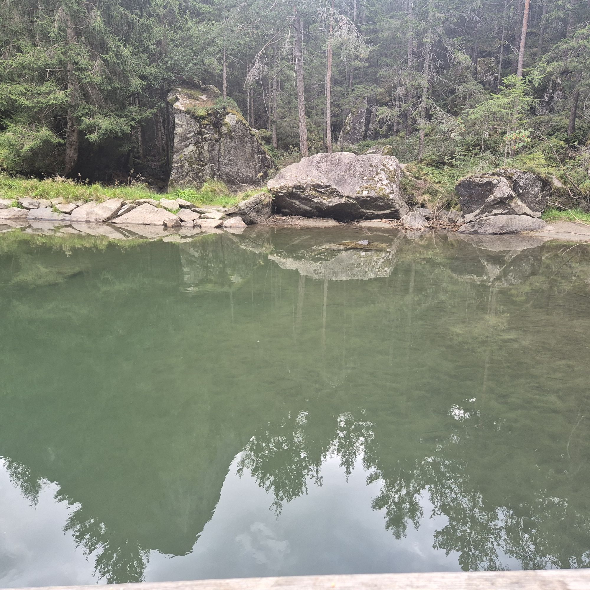
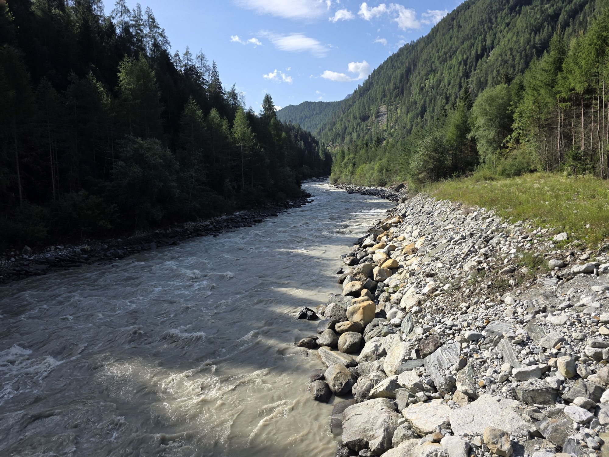
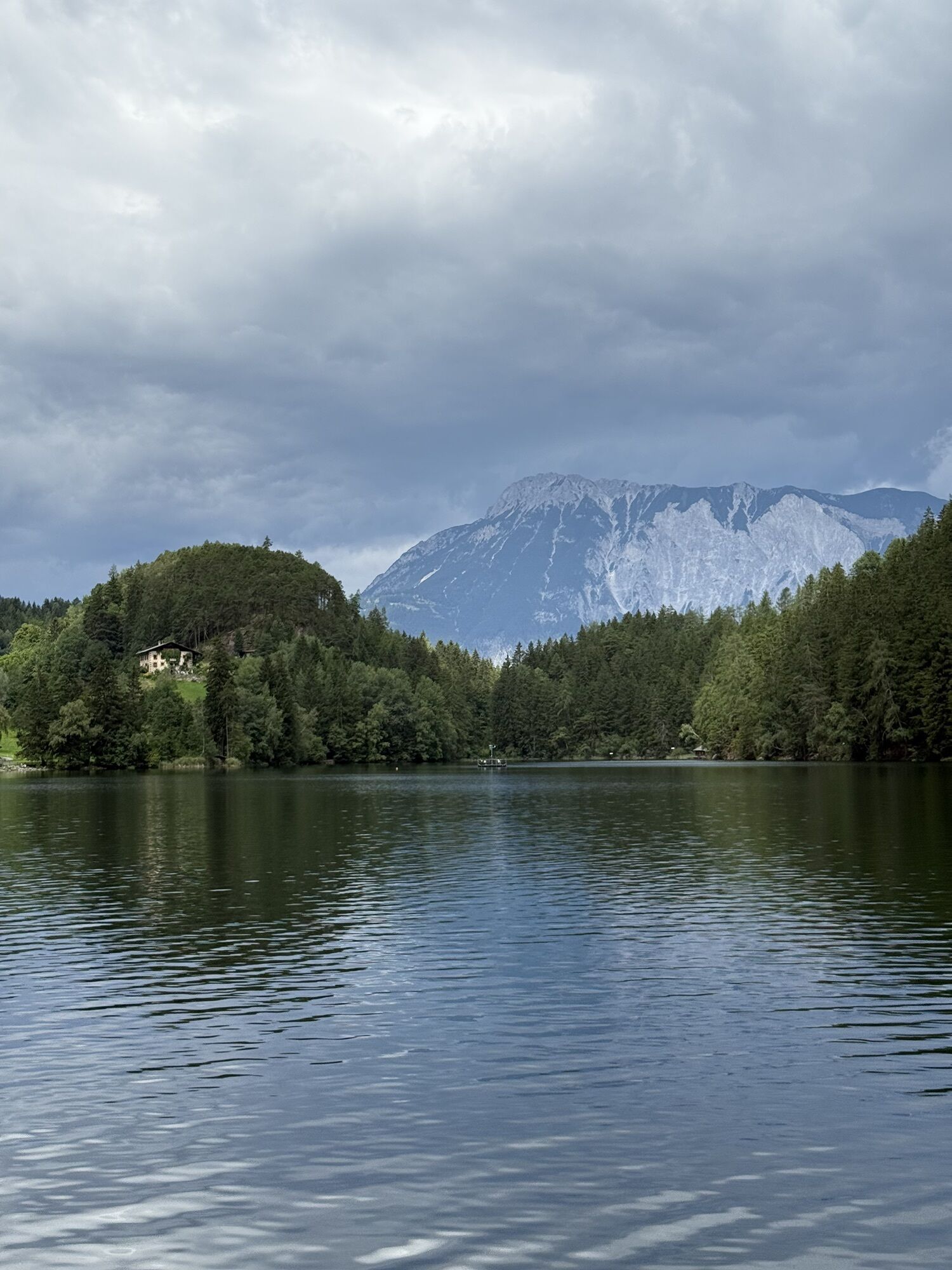
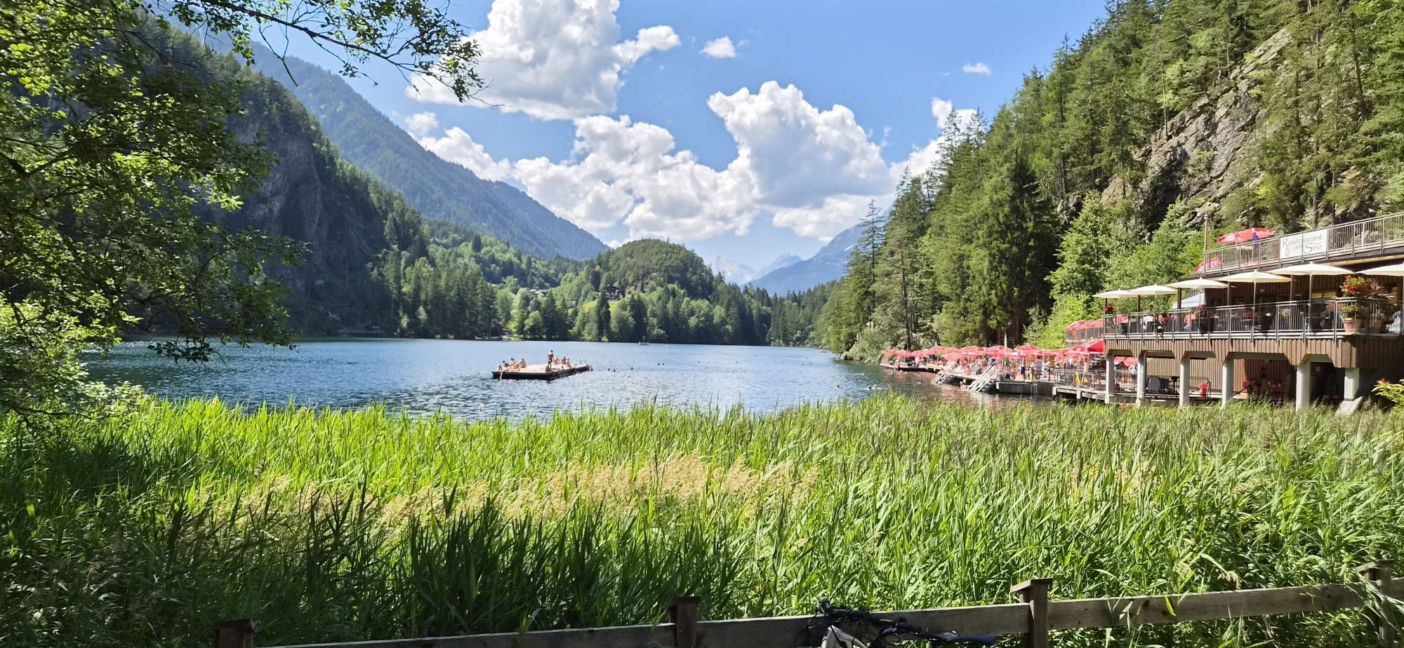
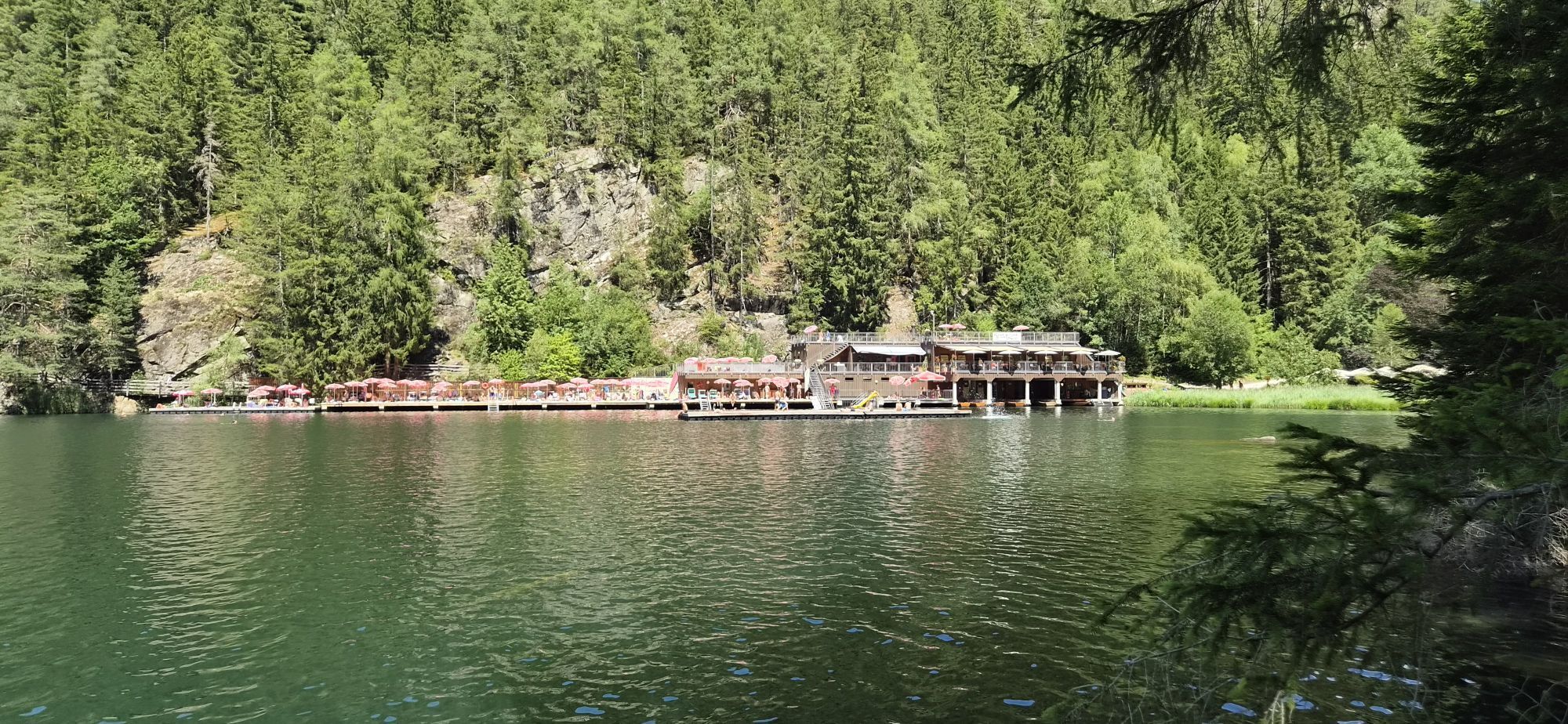
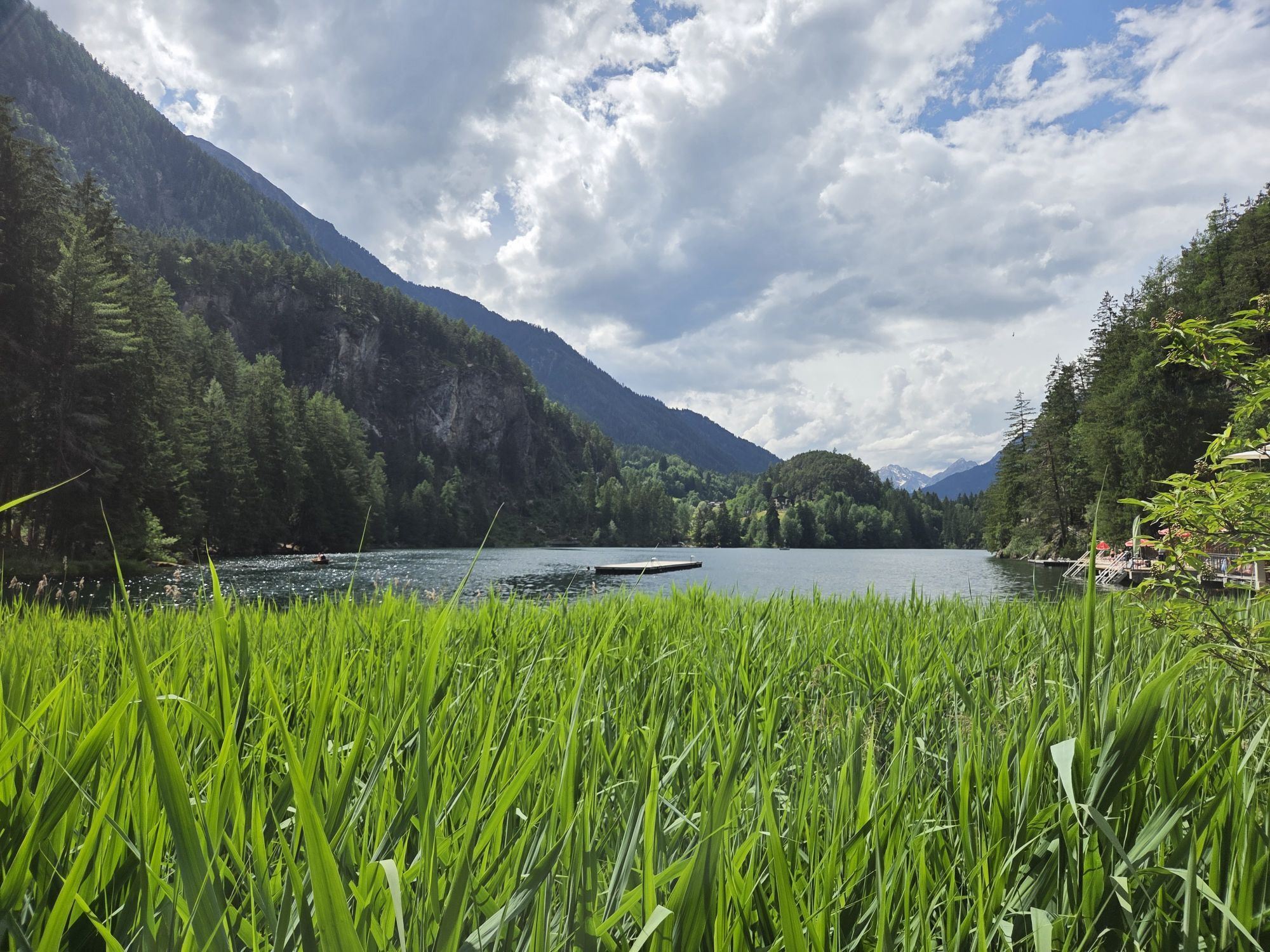
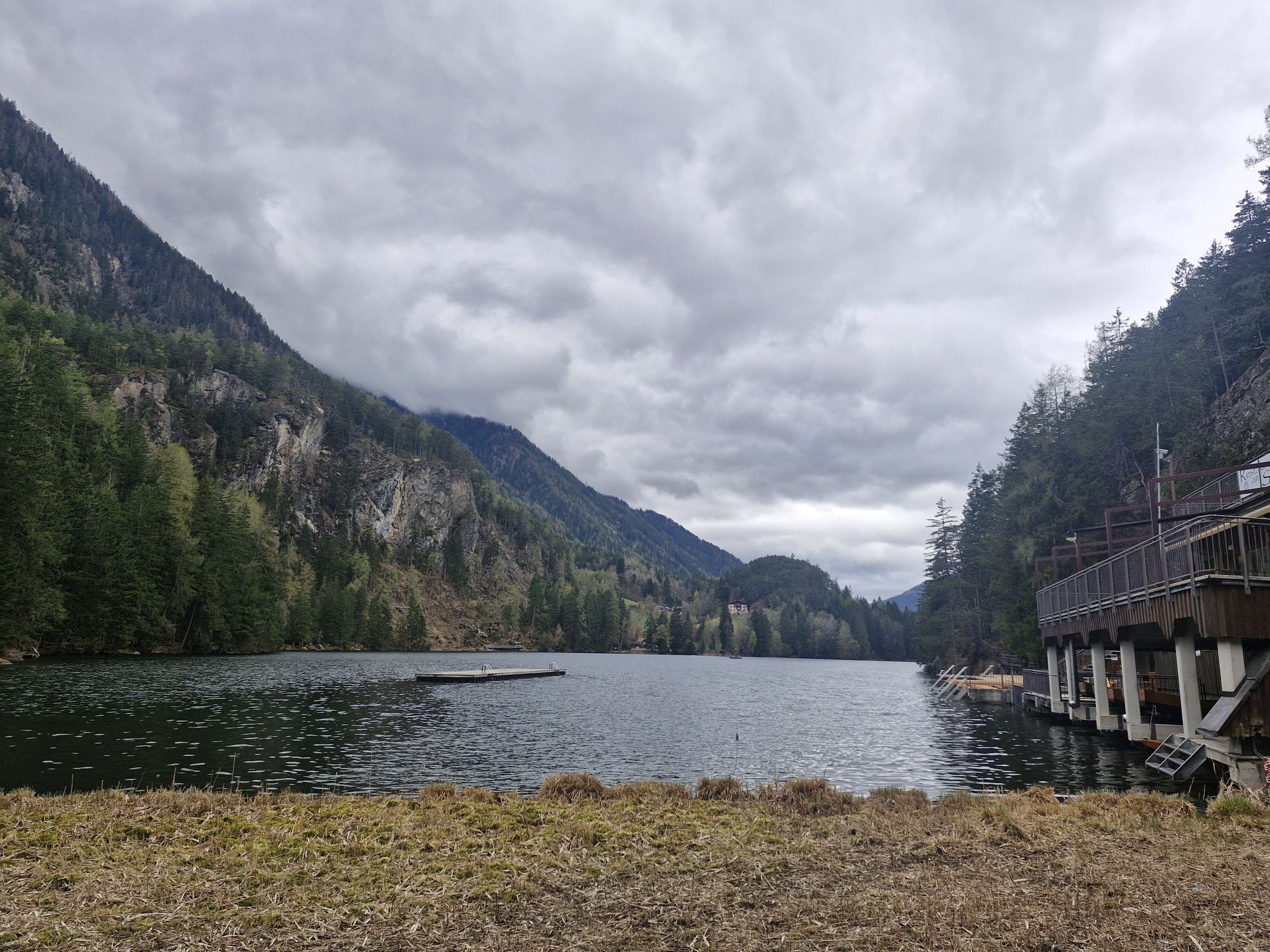
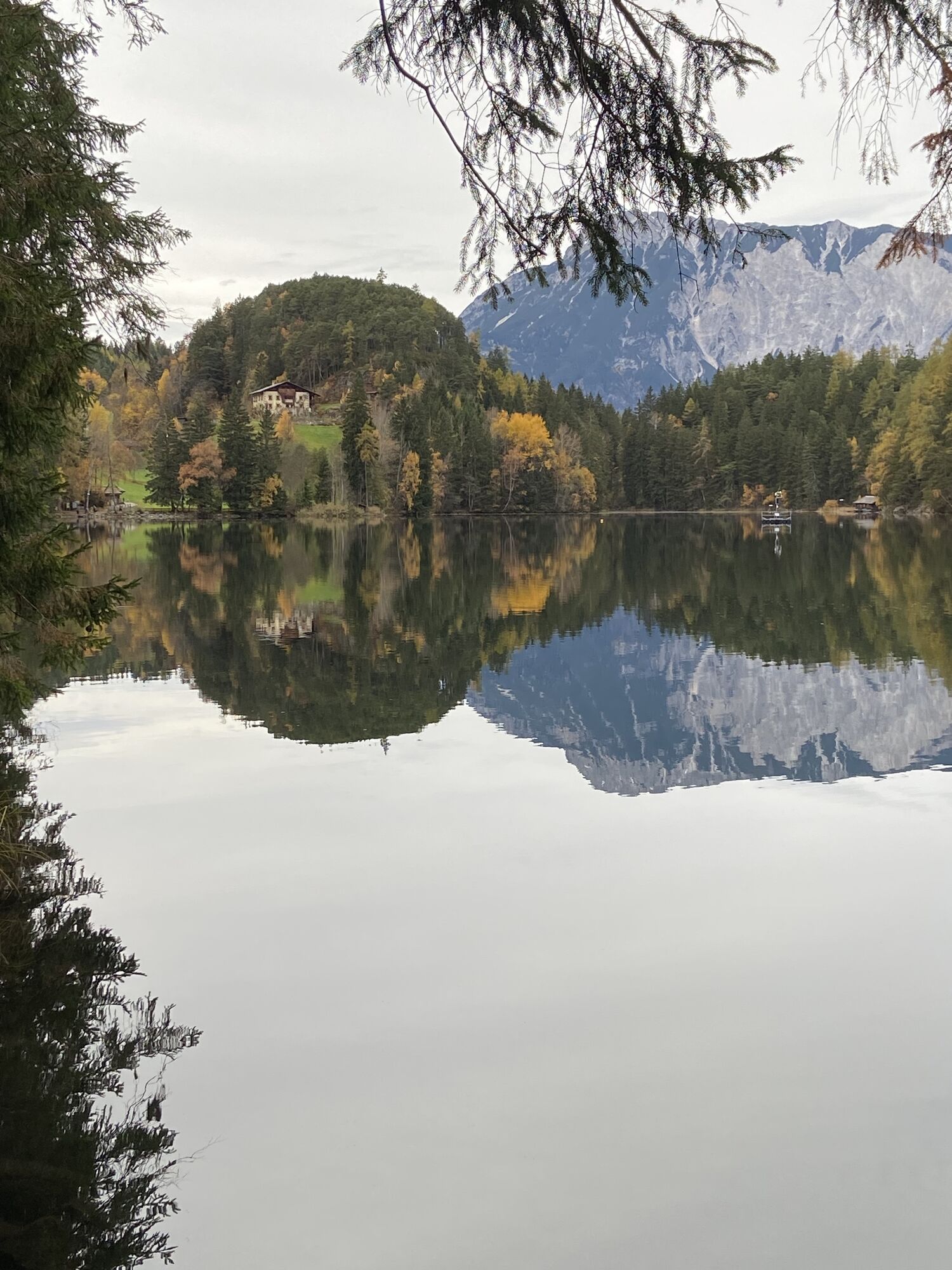
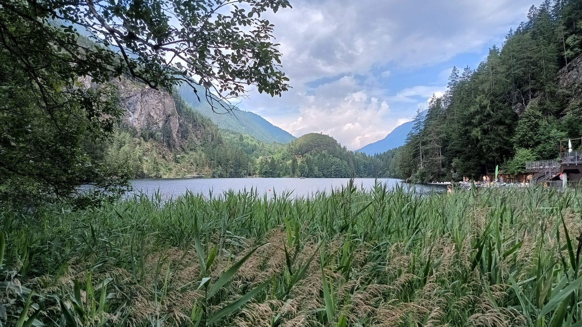
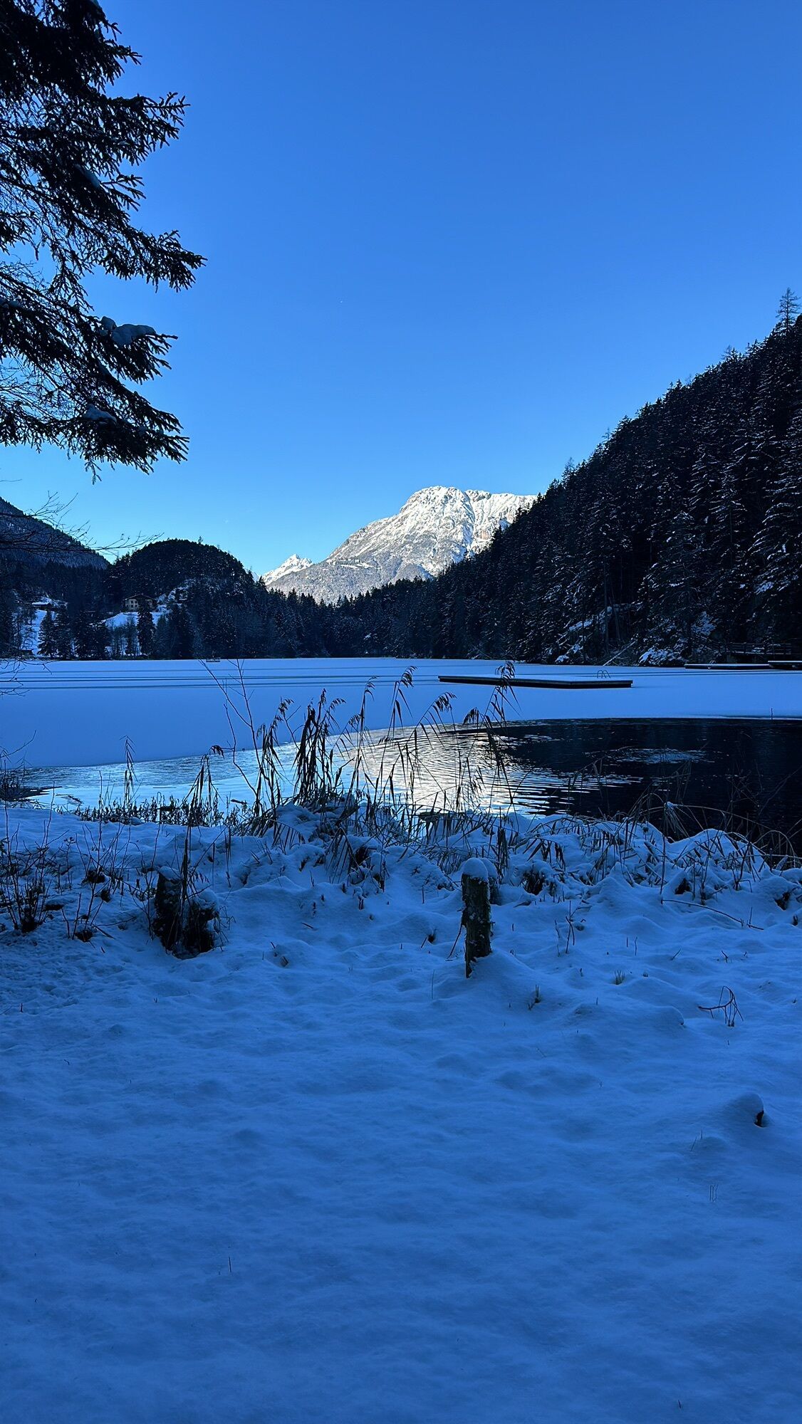
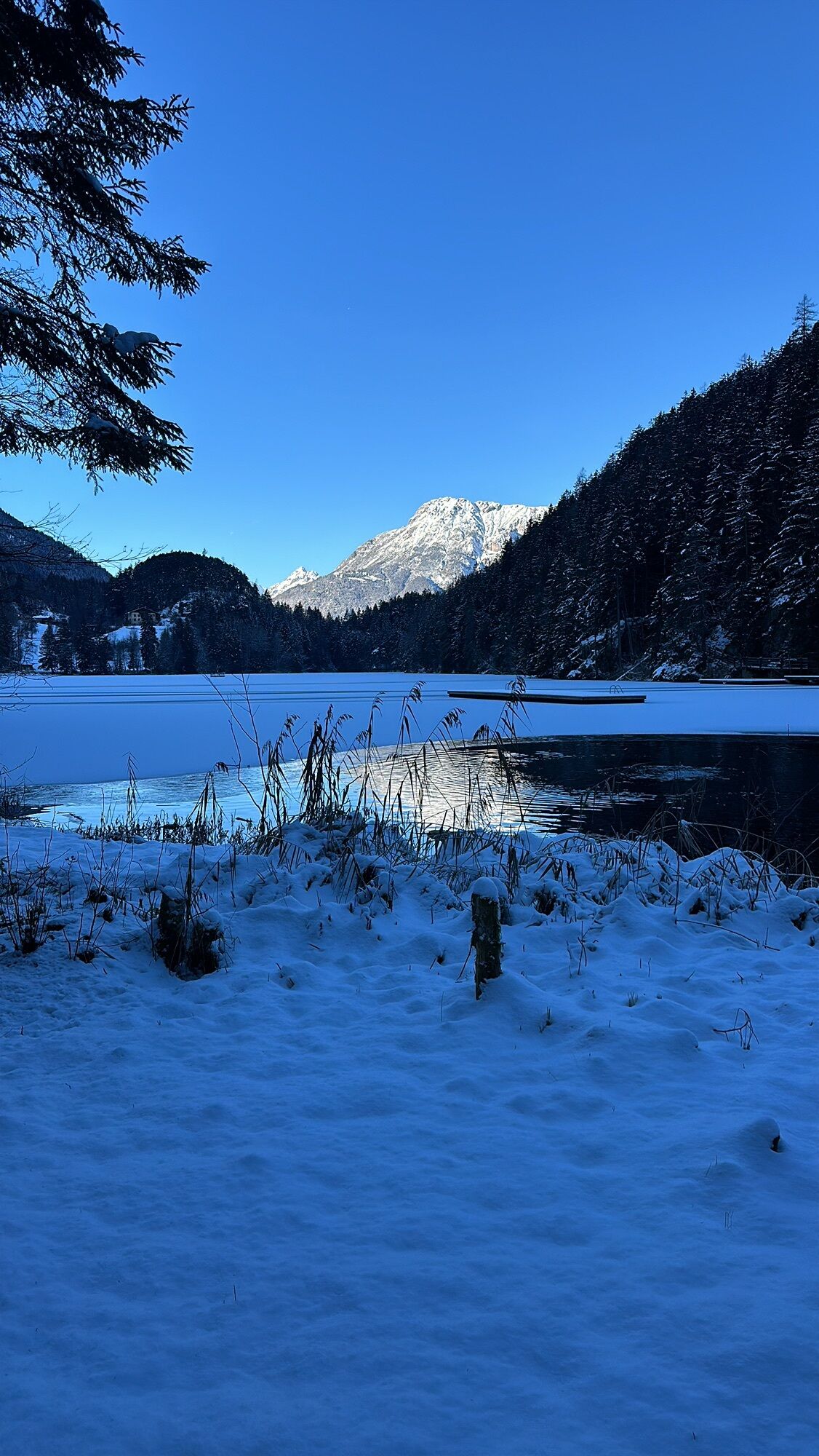
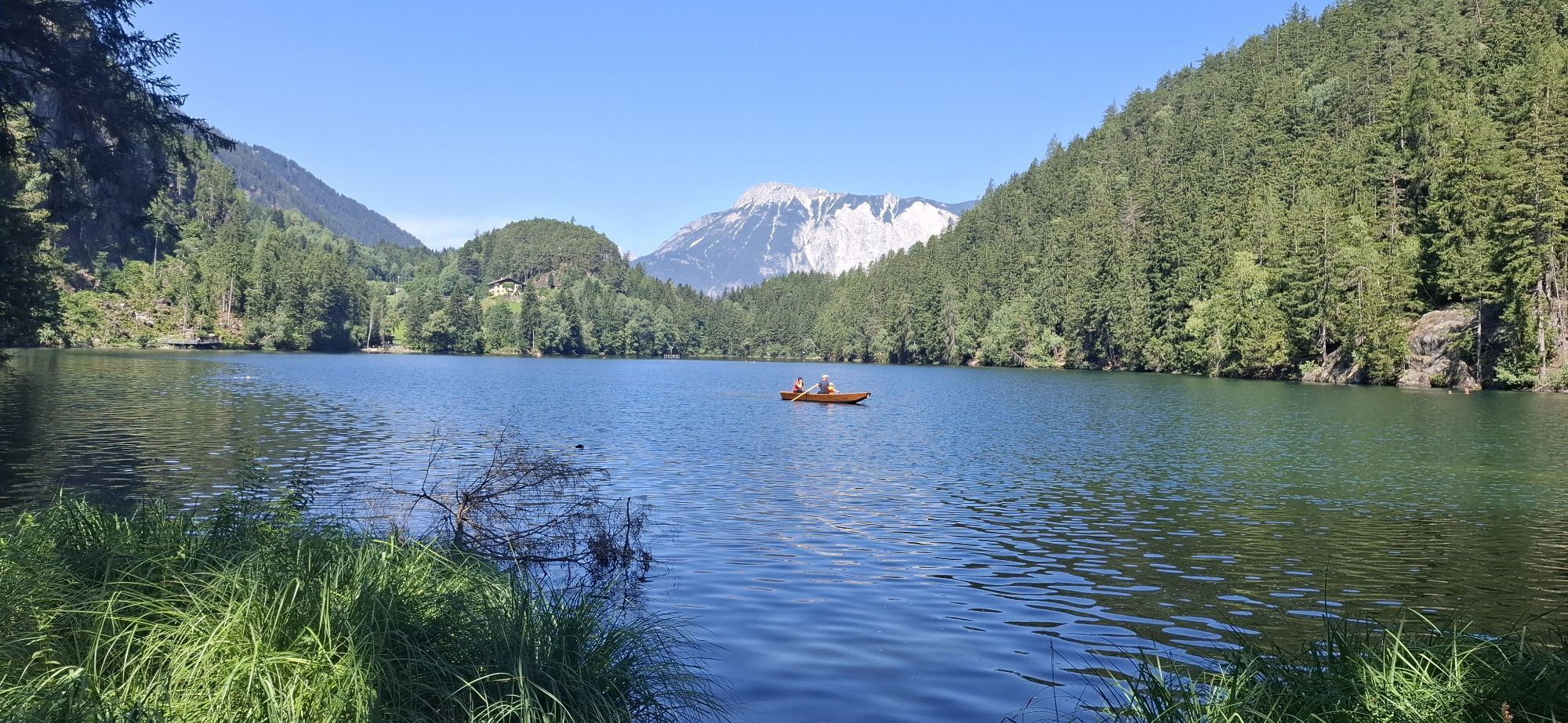
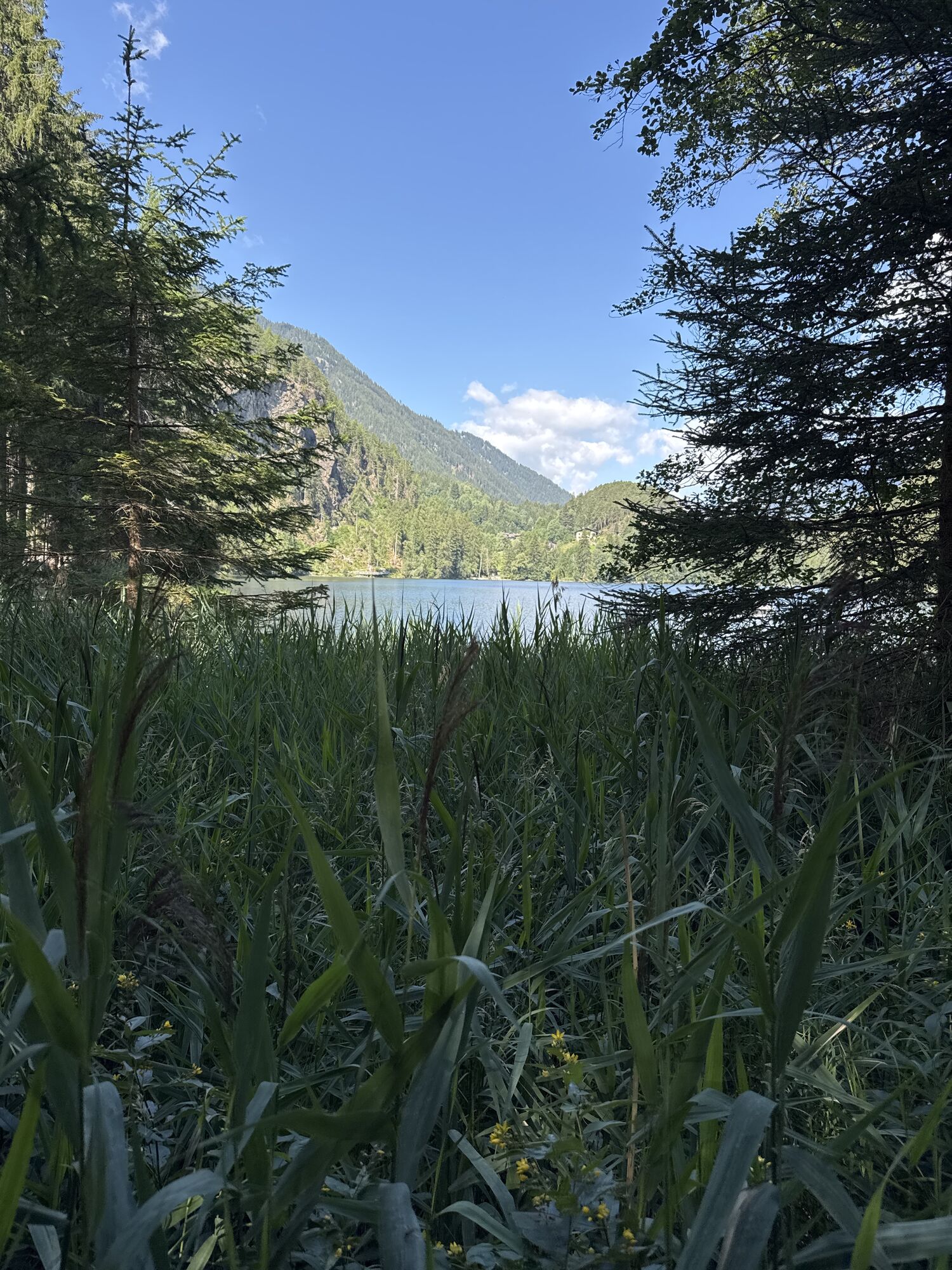
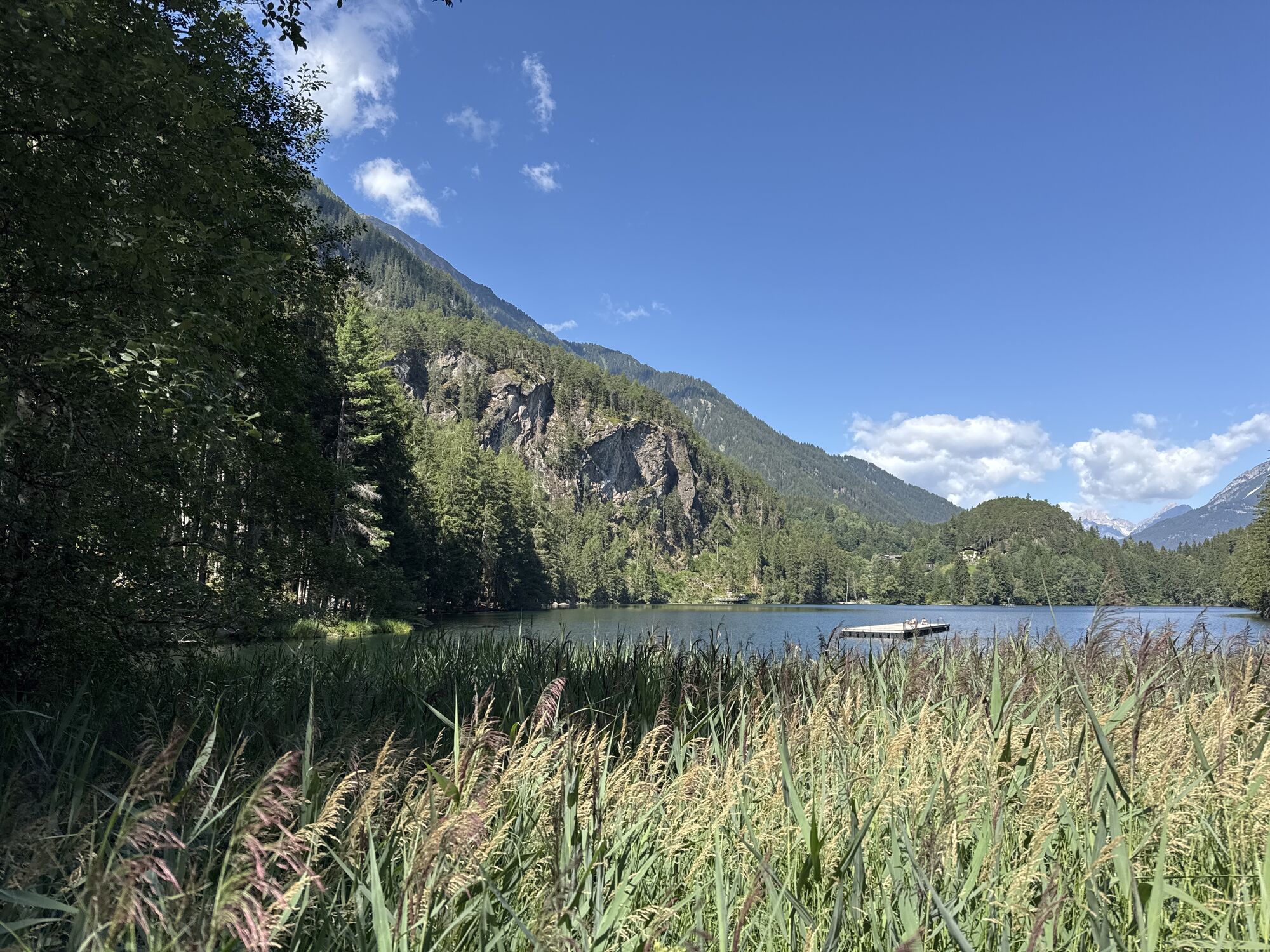
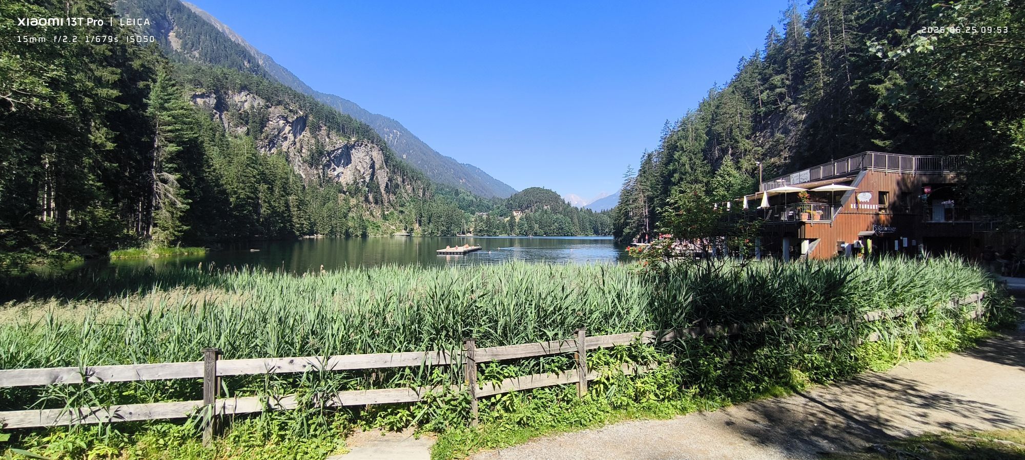
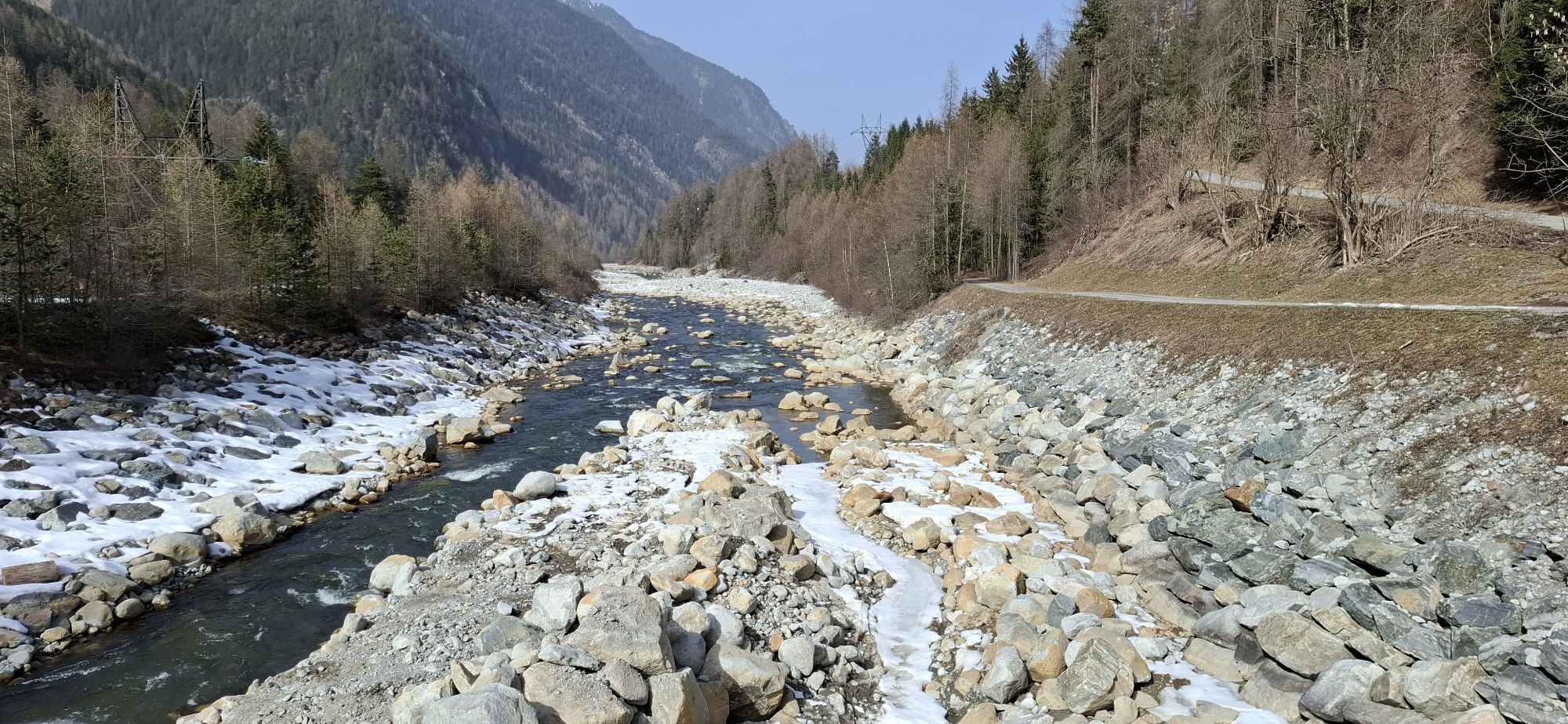
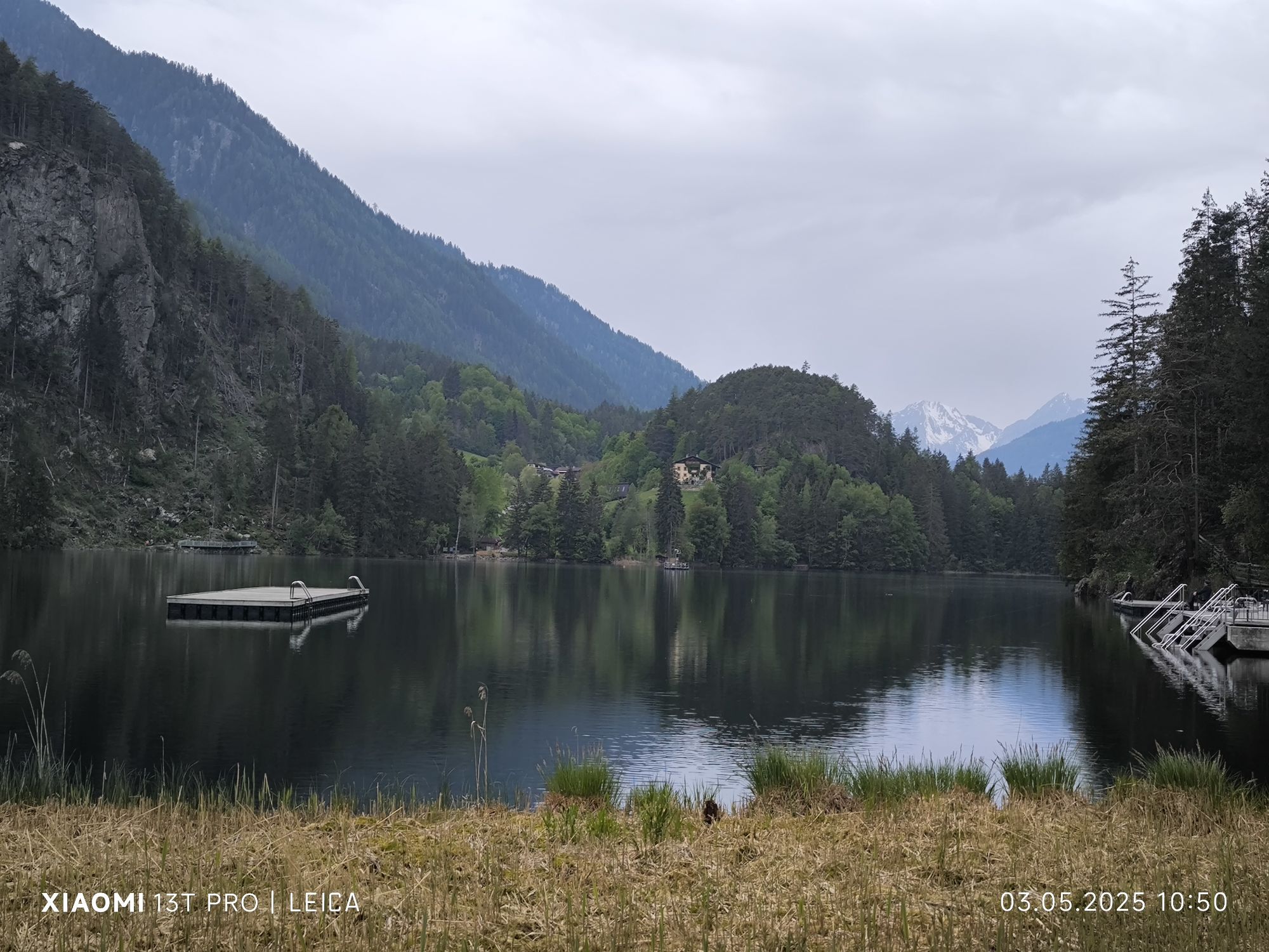
The following kilometers of the trail promise a wonderful mix of rivers, forests and meadows. Deep green forests take you straight towards an unrivaled natural jewel, lake Piburger See. In summer the lake makes a popular destination for young and old as it features an excellent network of walking trails. One of the fabulous hiking destinations is the Kluft area and the nearby Kanzel vista point overlooking the picturesque village of Oetz from a dizzy height. In Sautens, the stage's final destination, a century old tradition is still preserved: schnapps distilling! Also apricots are growing here thanks to the area's favorable climate. To collect the typical Ötztal masterwort the local schnapps distillers climb up to 2000 m above sea level - the root is used for fine apple brandies with scents of anise, fennel and citrus.




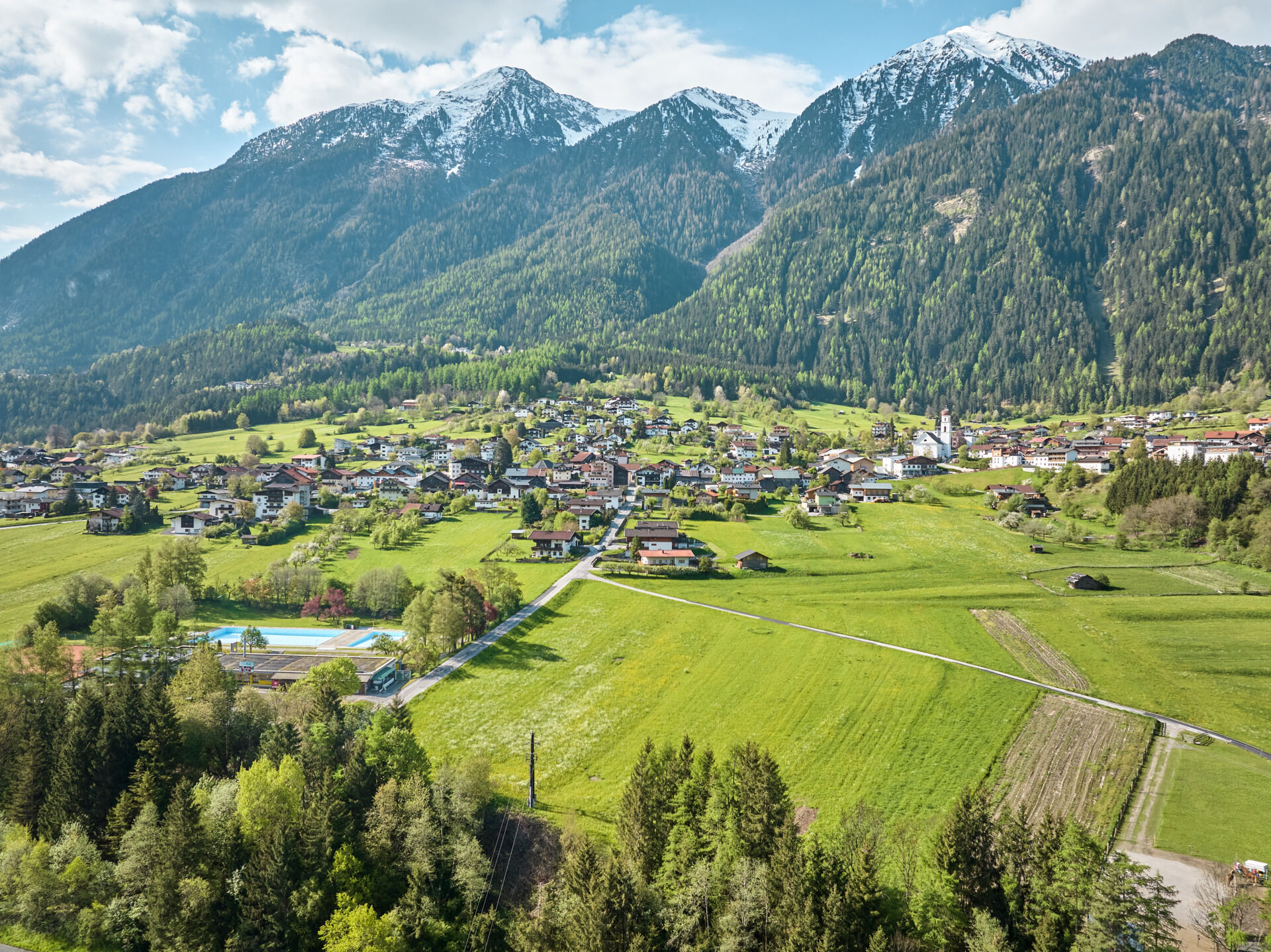


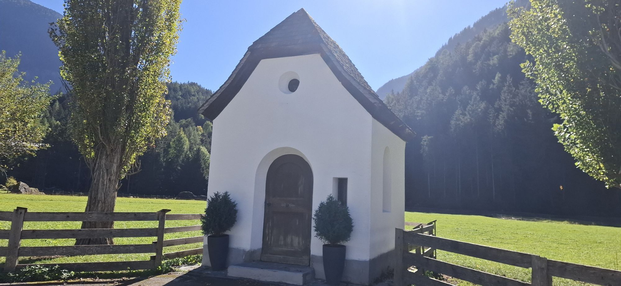
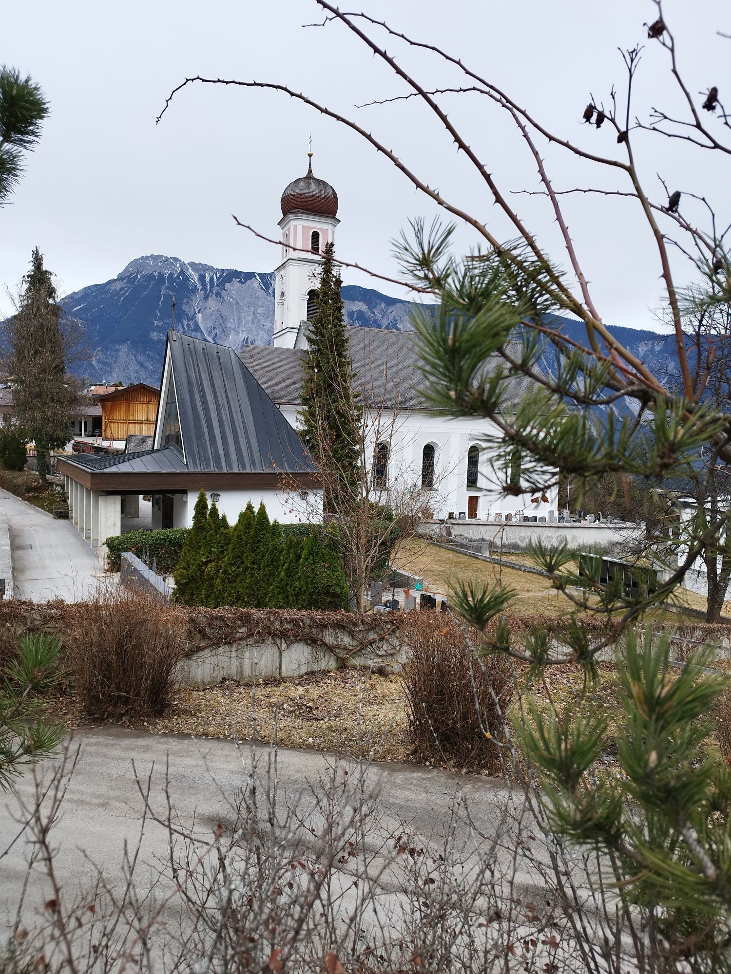
In the village center of Umhausen you turn left at the church and then take the turnoff to the hamlet of Neudorf. Always follow the signs towards Ötztaler Ache mountain brook. Cross the brook and take the forest trail towards the hamlet of Östen, always following the road until you reach the covered wooden bridge.
You walk to the left of the single farmhouse, then you take the rising trail to the left.
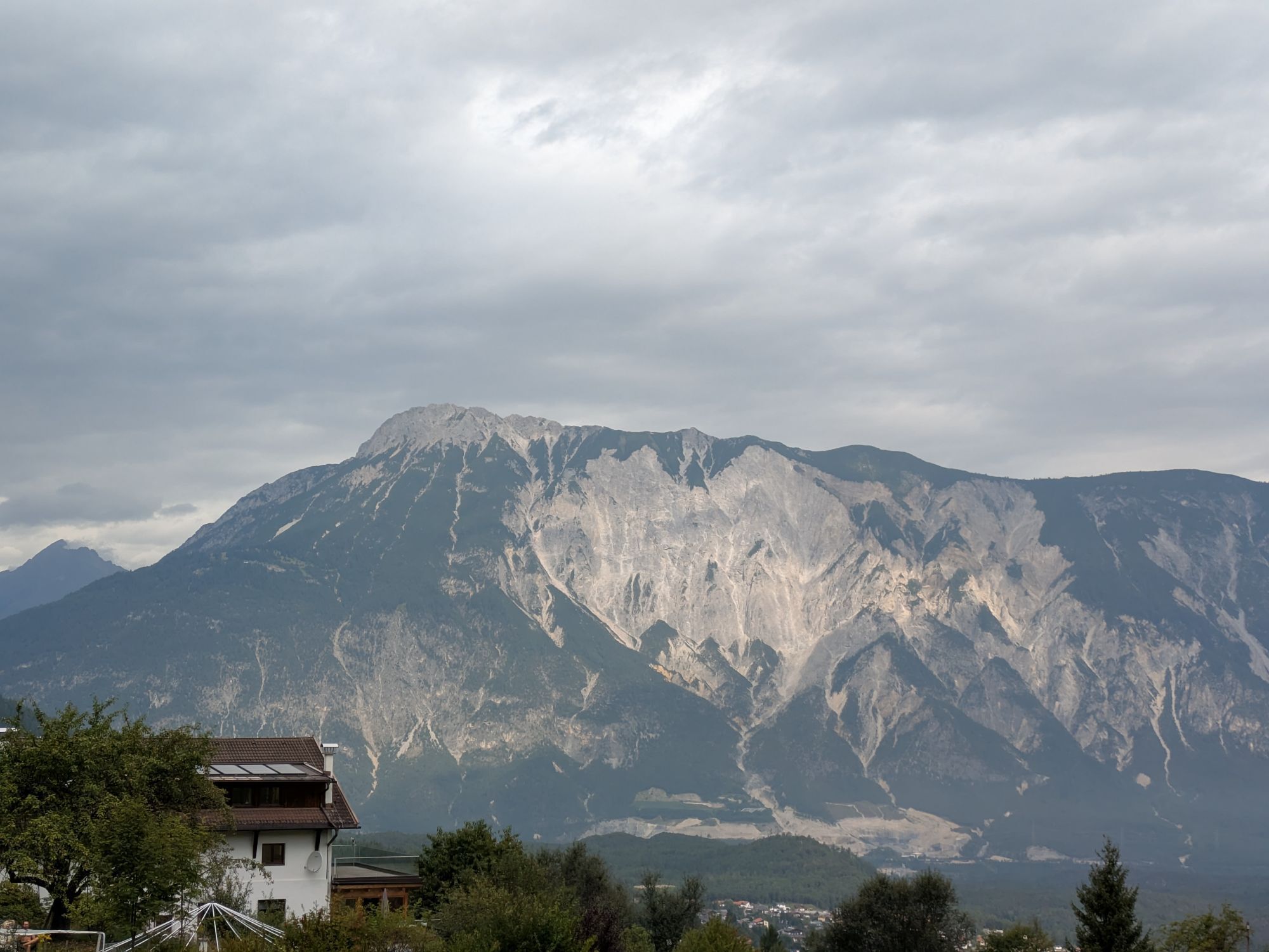
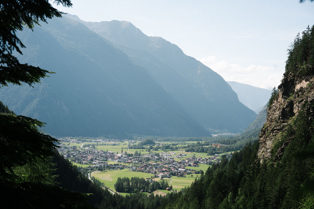
The permanently ascending trail becomes a narrow footpath. In lofty heights you can enjoy a magnificent view of Umhausen and the valley basin. At the top you follow the forest trail out of the valley to Tumpen.
Keep to theleft and hike along Tumpen‘s Loop Trail until you get directly to the village. Then follow the signs to lake Habicher See and hike on the mountainside to lake Piburger See. At the road fork behind lake Habicher See you keep left and hike slightly uphill towards lake Piburger See and continue up to panoramic Seejöchl vista point. The steep ascent is rewarded with a fabulous view. Then hike along the route to Haderlehn and from there you follow the signs down to the village of Sautens and the local community center.
Appropriate equipment such as breathable suitable outdoor clothes for the weather, is for all hikes and tours necessary. Please bring a first-aid box, a mobile phone, a walking map and if there is no hut on the way a snack and enough to drink.
Moderate mountain trail; for sure-footed and experienced hikers. Good physical condition, mountain experience & mountain equipment (see notice equipment) necessary. Please pay attention to the current weather report.
The car drive to the Ötztal valley. Situated in Tirol, the Ötztal valley set off in southerly direction and is the longest side valley in the Eastern Alps. The journey with the car leads you through the Inntal valley to the entrance of the valley and further on through the valley. Among the toll motorways you can also use the country roads. A route planner will show you the easiest and most convenient way: www.google.at/maps
- Umhausen Parking Mure | free of charge
- Umhausen Bischoffsplatz | chargeable | Multi-day tickets available
- Tumpen / Lehn-Platzl At the parking place Engelswand climbing garden | chargeable | No multi-day tickets available
- Parking Köfels | chargeable | Multi-day tickets available
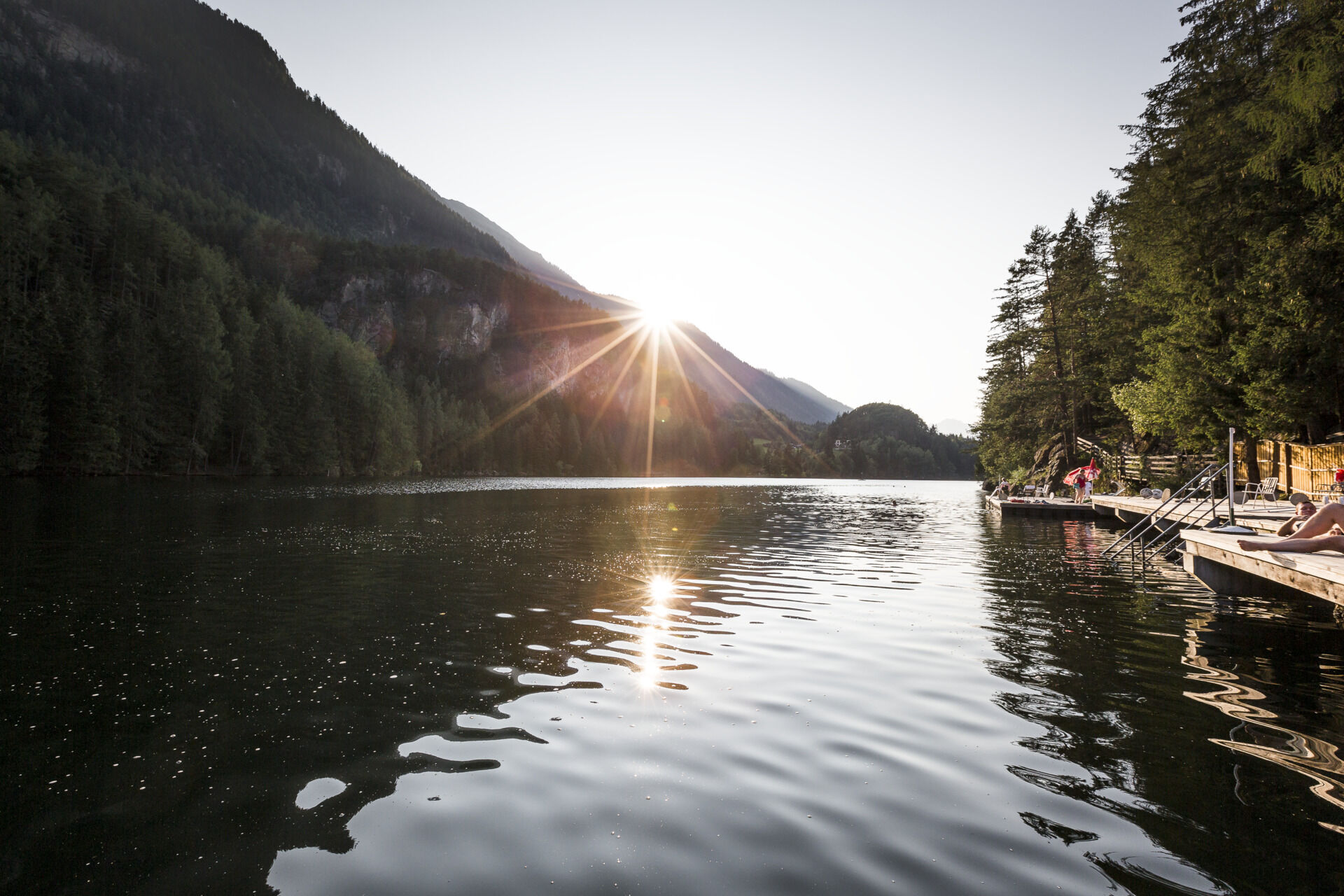
… lake Piburger See originates from an ancient gully in the valley, leading parallel to the Ötztal? After the last Ice Age the lake was dammed up by a huge rockslide. What's best, the lake reaches water temperatures of up to 24° Celsius in summer.
More details about hiking In Ötztal: www.oetztal.com/wandern
Webové kamery z prehliadky
-
Hochoetz
-
Niederthai im Ötztal
-
Wetterkreuzbahn Talstation
-
Sautens - Aktiv Panoramahotel Daniel
-
Widiversum Hochoetz
-
Balbach Wiesenlift
-
Umhausen - Vivea Gesundheitshotel
-
Piburger See
-
Umhausen - der Veitenhof
-
Mountain Moments Ötztal
-
Stuibenfall
-
Stuibenfall
-
Stuibenfall
-
Stuibenfall
-
Stuibenfall
-
Umhausen / Hotel Tauferberg
-
Umhausen / Hotel Tauferberg
-
Umhausen / Hotel Tauferberg
-
Umhausen / Hotel Tauferberg
-
Umhausen / Hotel Tauferberg
-
Niederthai - Delano
-
Niederthai - Delano
-
Umhausen / Hotel Tauferberg

Obľúbené výlety v okolí
-
4,7
Winnebachsee Hut – Längenfeld/Gries
strednáTuristika 4,74 km -
4,7
Winter circular route Brandalm/Burgstein - Längenfeld 204
strednáZimná turistika 5,44 km -
4,4
Hike Stuibenfall - Umhausen
svetloTuristika 2,95 km -
4,4
Stuibenfall Umhausen circular hike
svetloTuristika 9,32 km -
4,5
Oetz - Piburger See - Oetz
strednáTuristika 7,16 km -
4,5
KÜHTAI: Kühtai (2020) - Sulzkogel (3016) - Mute (2398)
strednáVysoké turné 15 km -
4,4
Rundwanderung Hängebrück3
svetloTuristika 6,32 km -
4,3
Umhausen - Stuibenfall - Umhausen
strednáTuristika 7,94 km -
4,7
Summit route Faltegartenköpfl
strednáTuristika 4,04 km -
4,9
"Miners trail"
strednáTuristika 10,8 km
Turistika a stopovanie


Nenechajte si ujsť ponuky a inšpiráciu na ďalšiu dovolenku
Vaša e-mailová adresa bol pridaný do poštového zoznamu.


