European E5 long-distance hiking trail – King’s Segment – Braunschweiger Hut to Zwieselstein (original route)
ťažké
Získajte túto prehliadku v mobilnom telefóne
European E5 long-distance hiking trail – King’s Segment – Braunschweiger Hut to Zwieselstein (original route)
ťažké
diaľková pešia trasa
16,47
km
Naskenujte kód QR a spustite navigáciu v aplikácii bergfex


Turistika a stopovanie


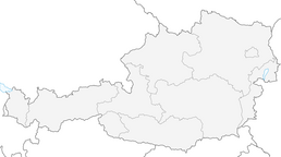


European E5 long-distance hiking trail – King’s Segment – Braunschweiger Hut to Zwieselstein (original route)
ťažké
Vzdialenosť
16,47
km
Trvanie
06:10
h
Ascent
265
hm
Hladina mora
1 454 -
2 985
m
Stiahnutie skladby
European E5 long-distance hiking trail – King’s Segment – Braunschweiger Hut to Zwieselstein (original route)
ťažké
diaľková pešia trasa
16,47
km
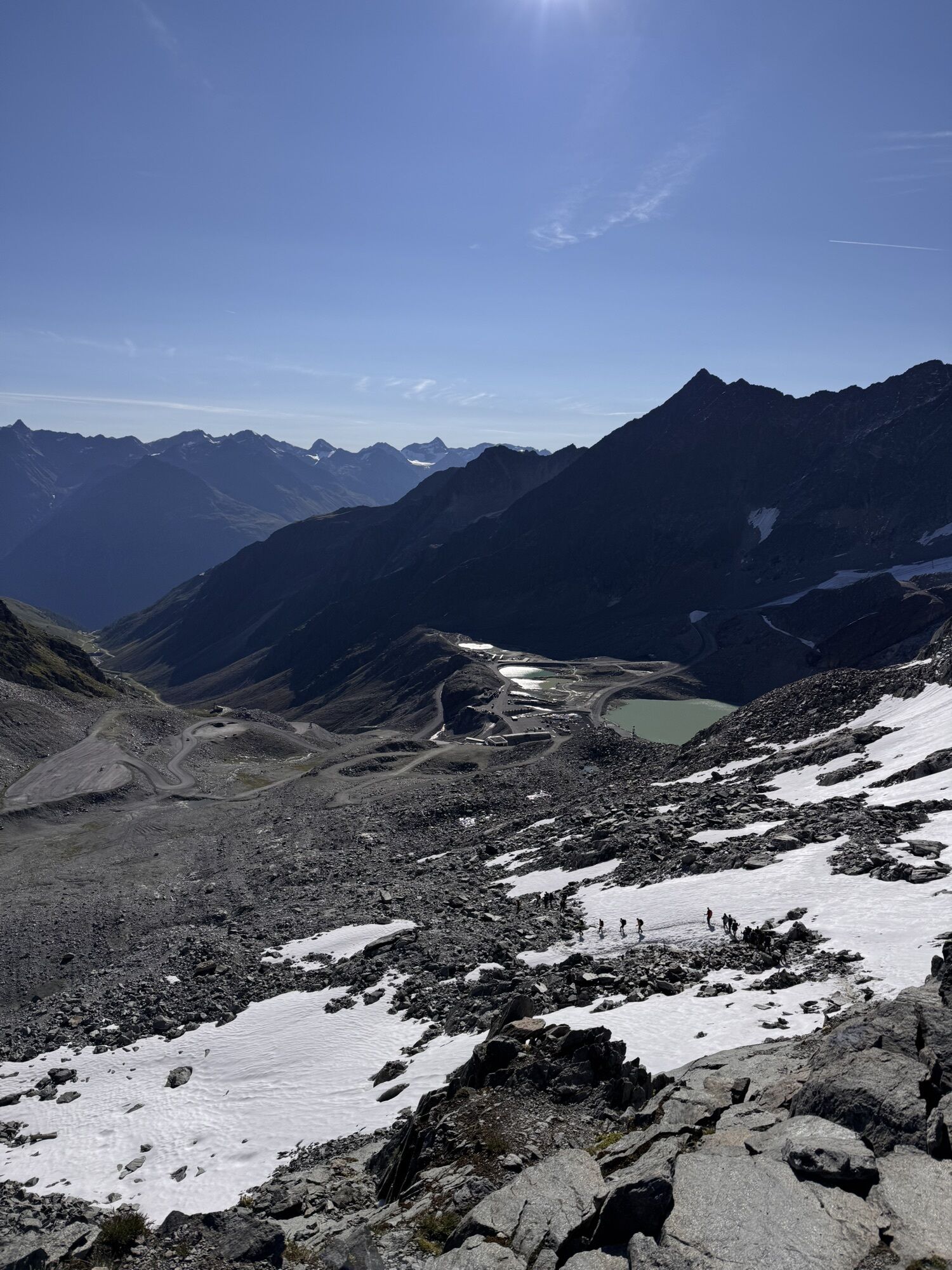
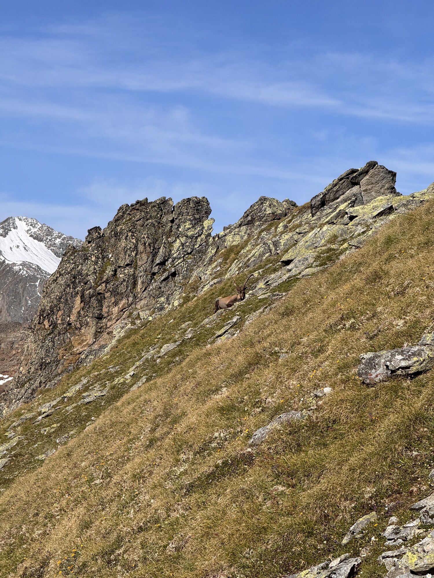
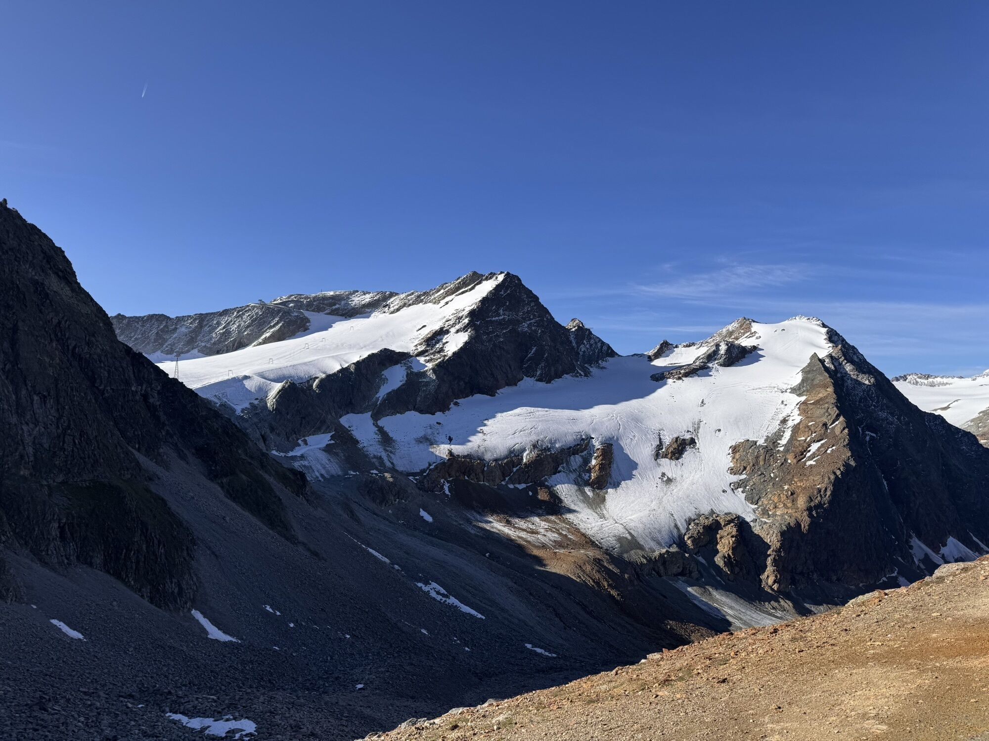
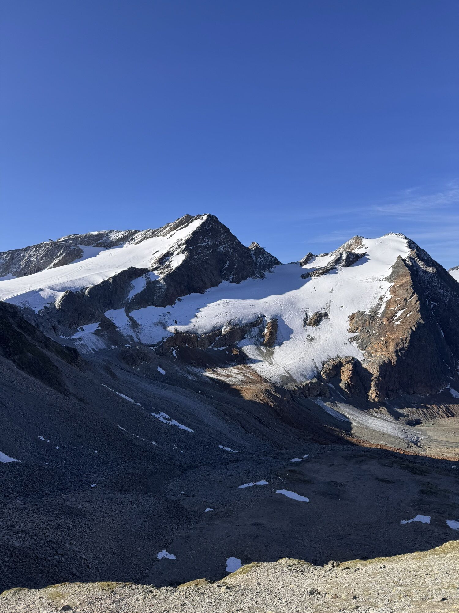
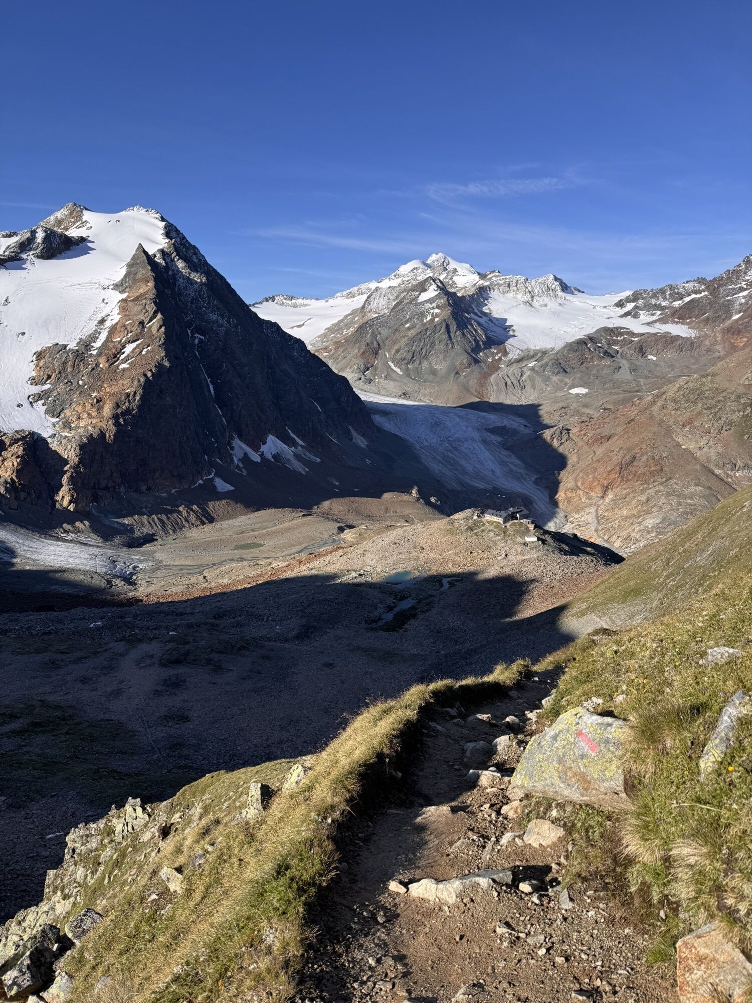
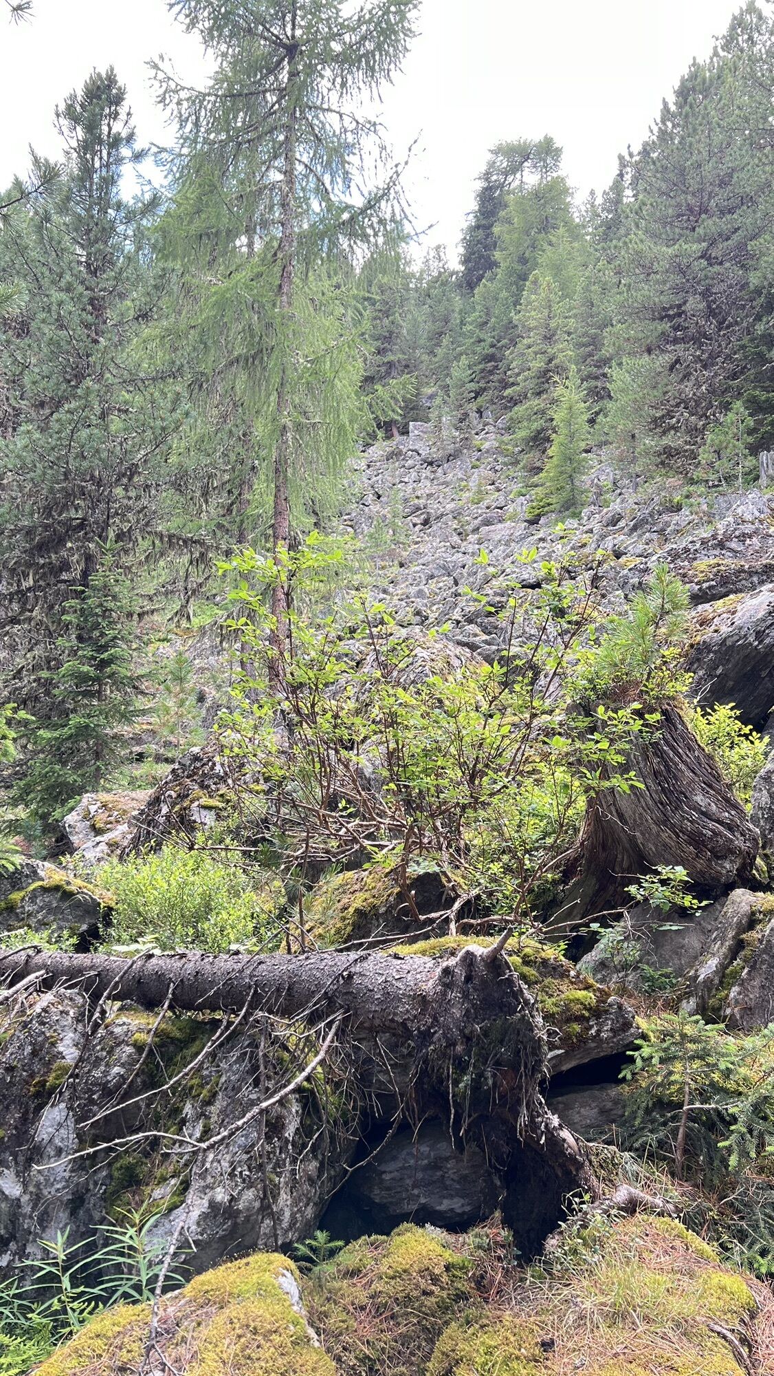
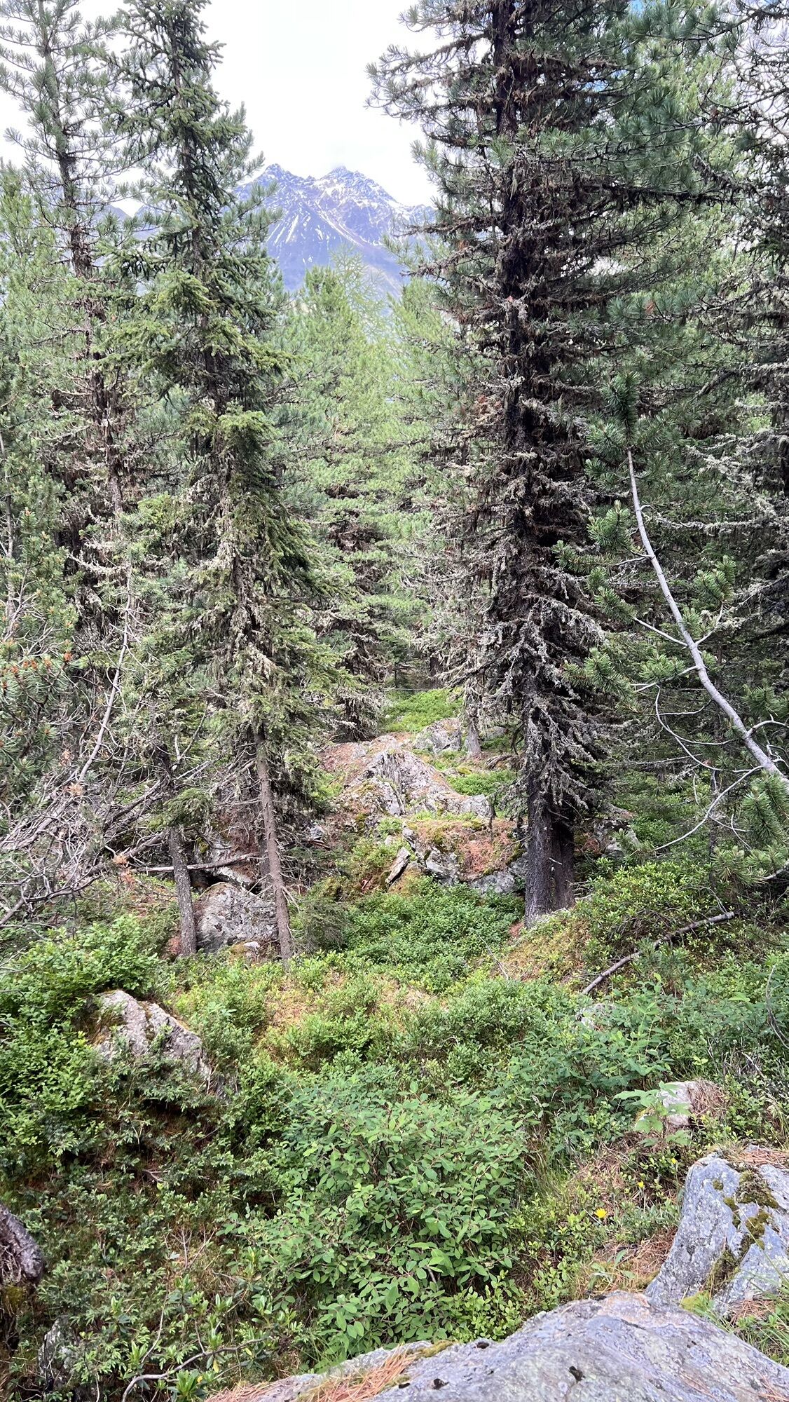
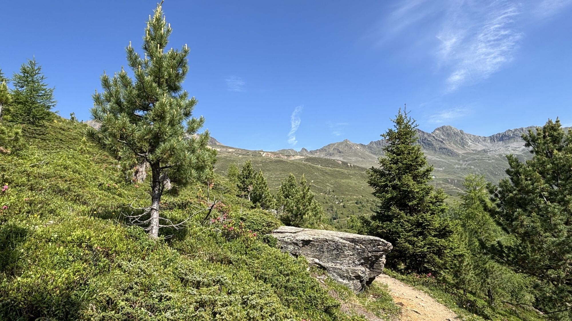
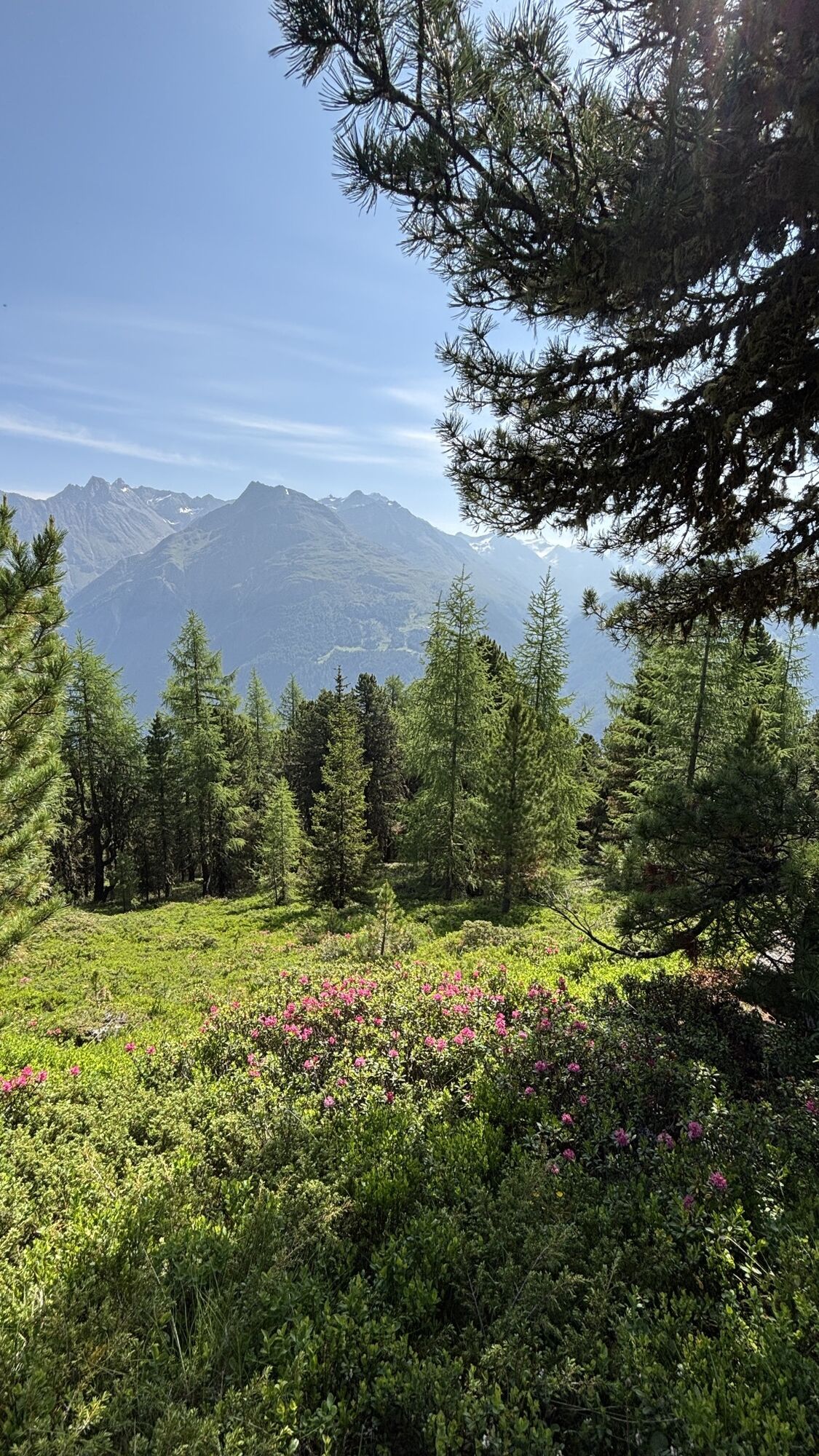
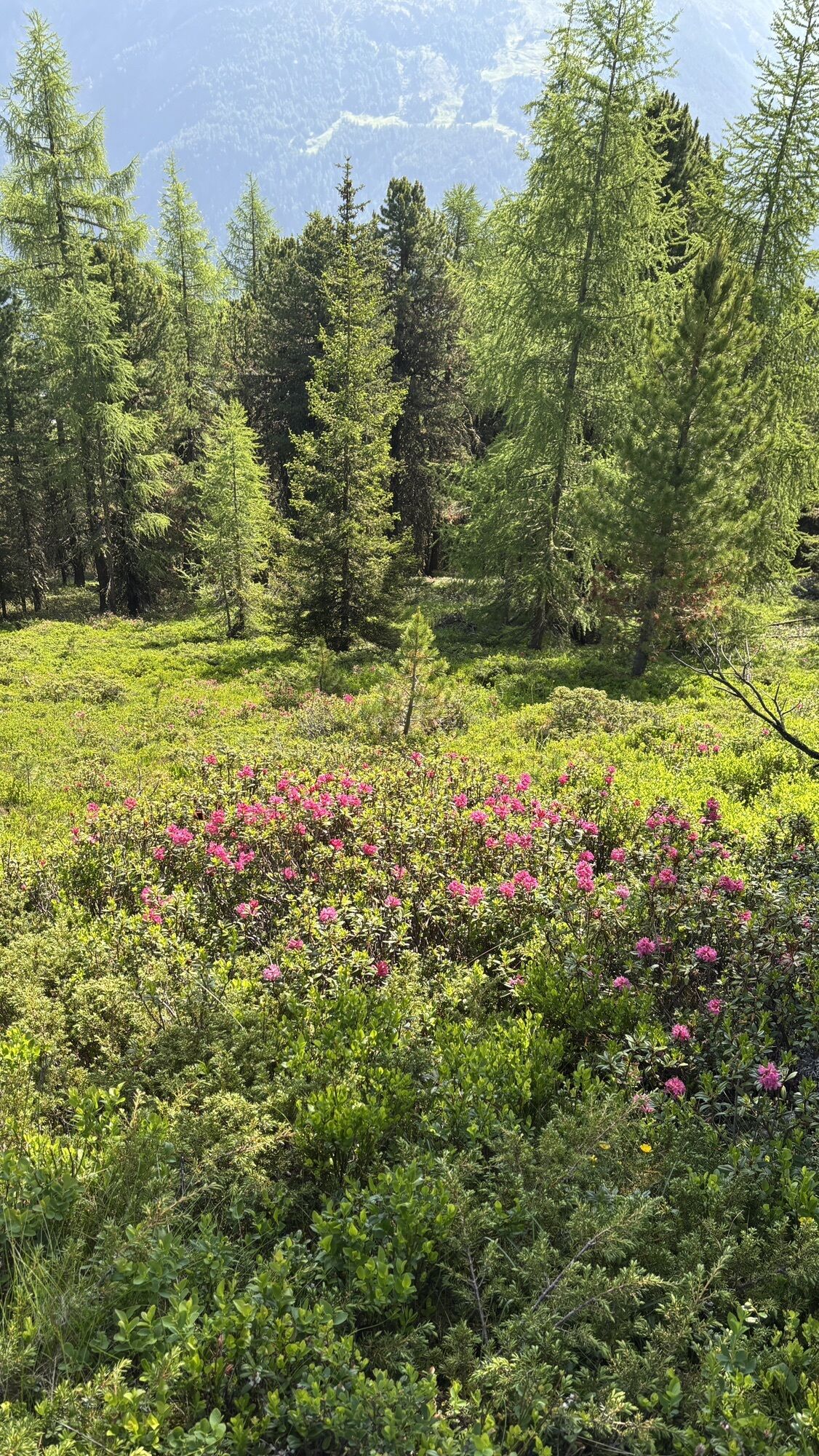
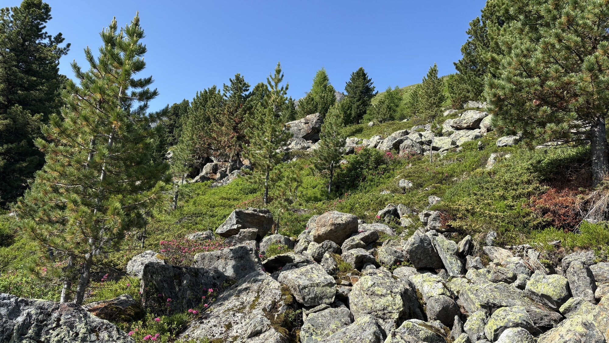
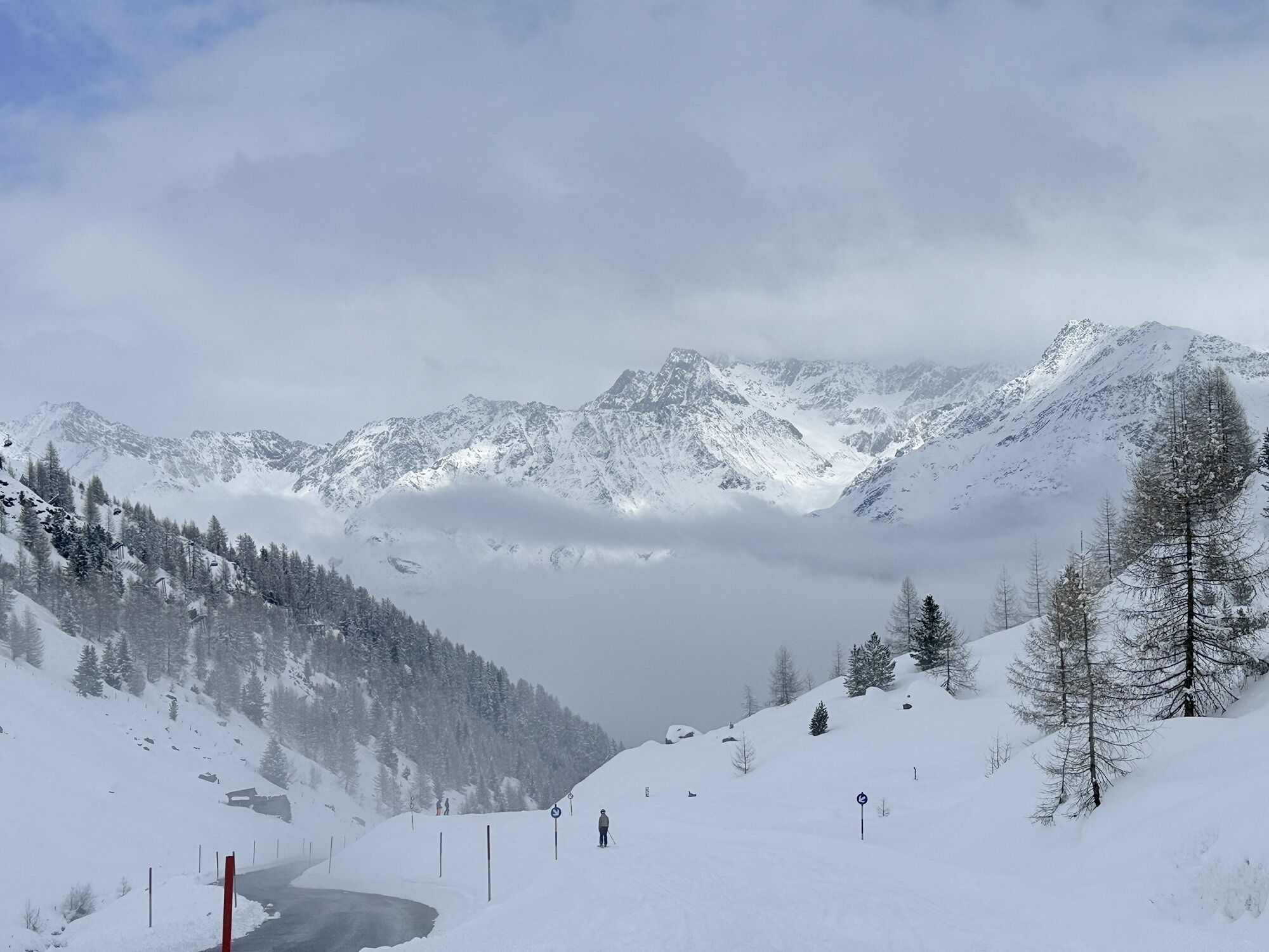
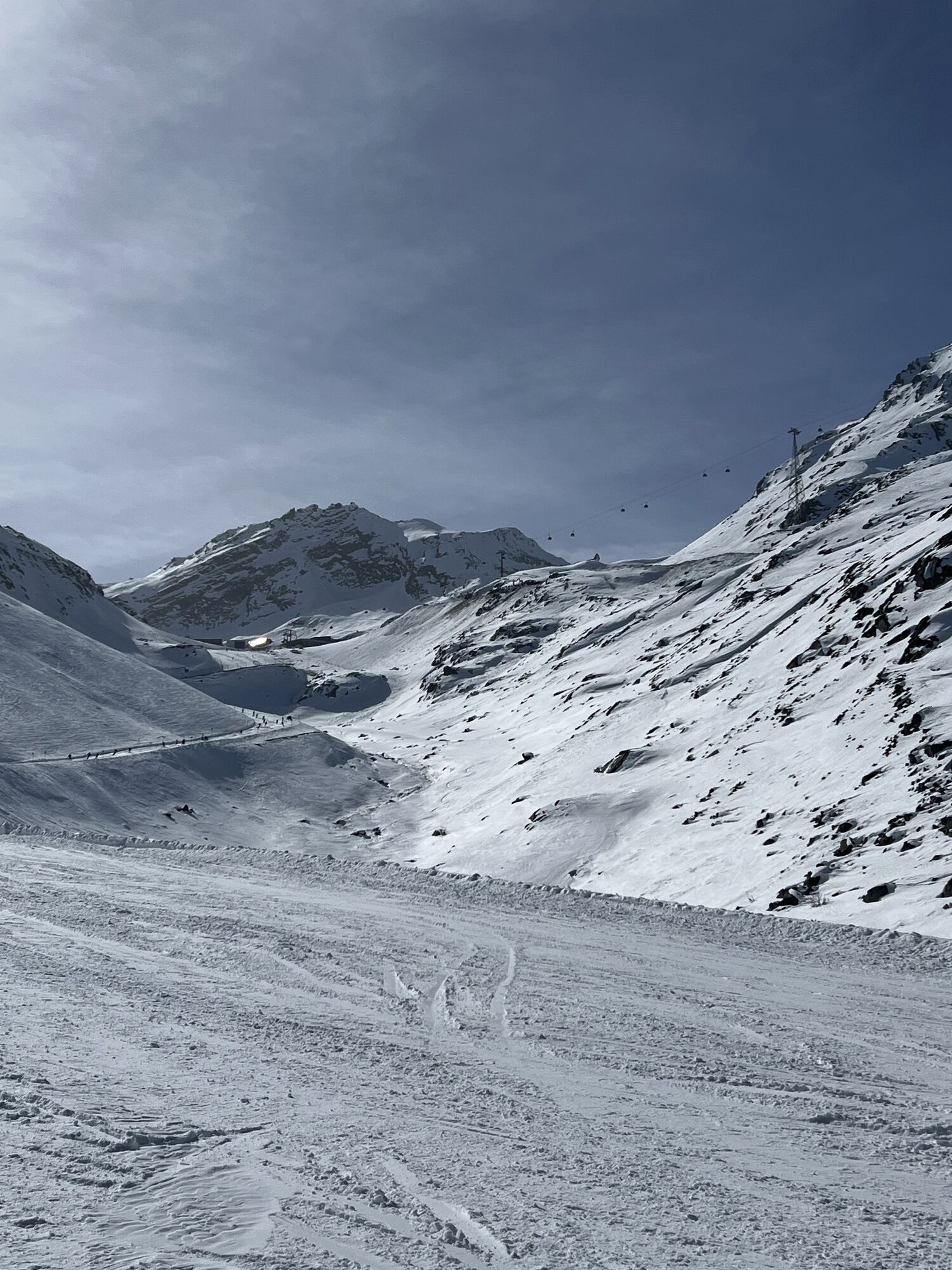
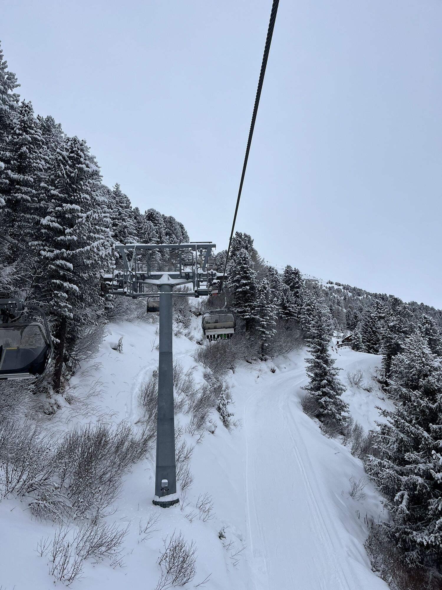
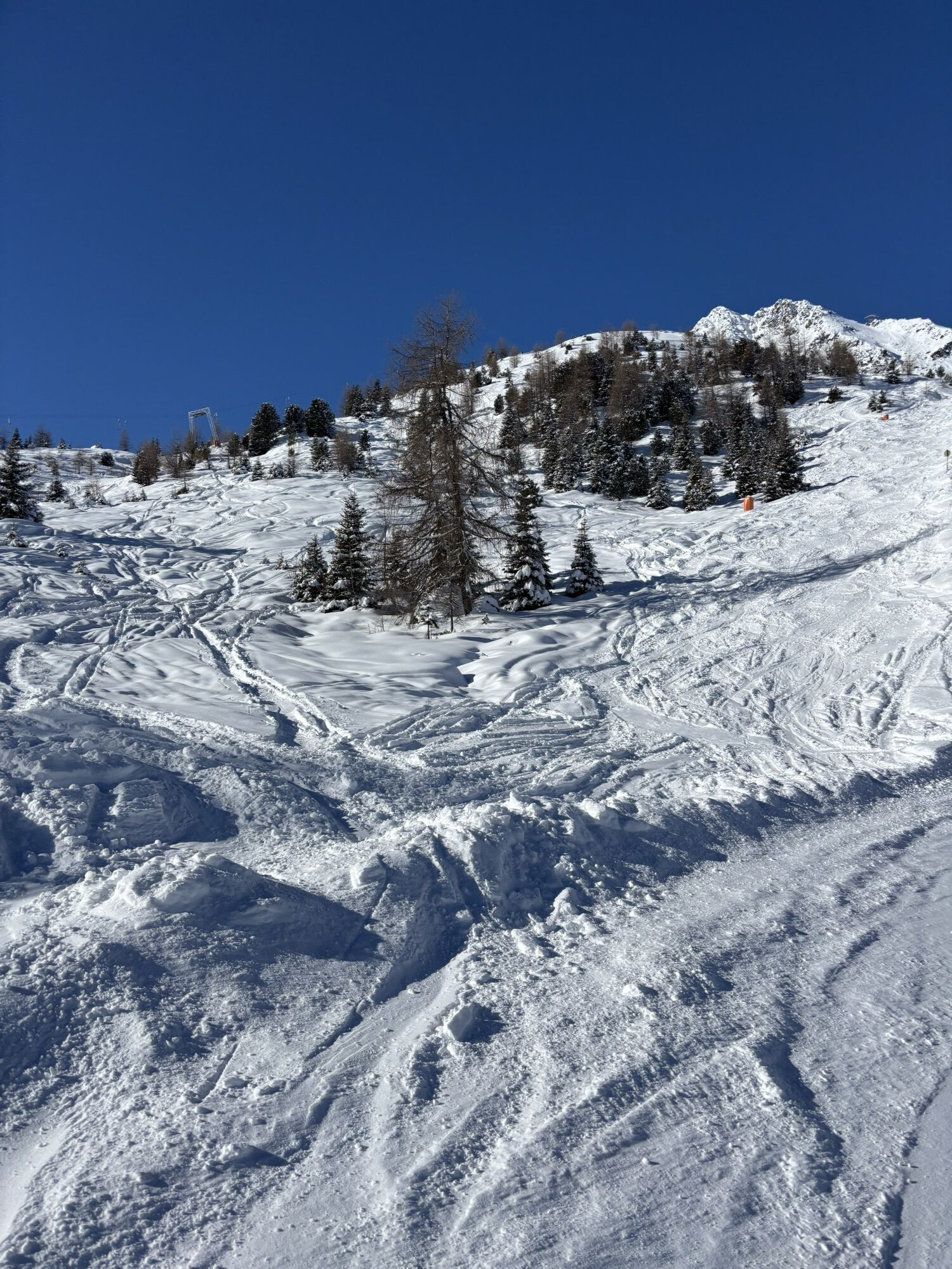
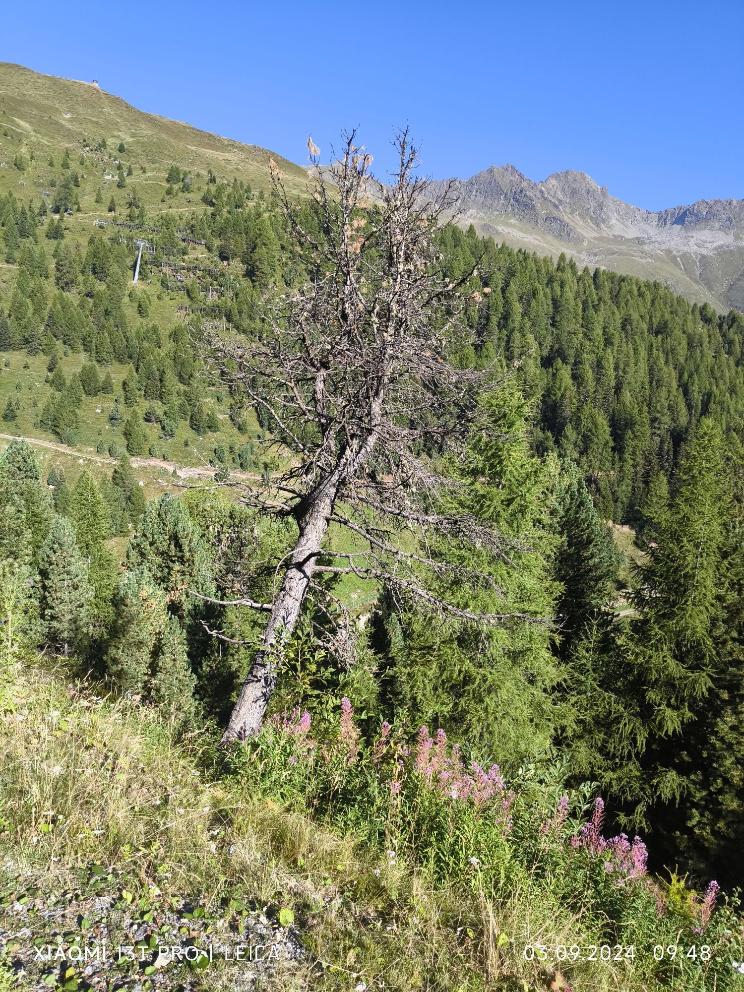
This particularly challenging segment of the trail starts at the Braunschweiger Hut (2,758 m) with a rather steep and difficult ascent to the Pitztaler Jöchl saddle (3,000 m), the highest point of this...
Opis
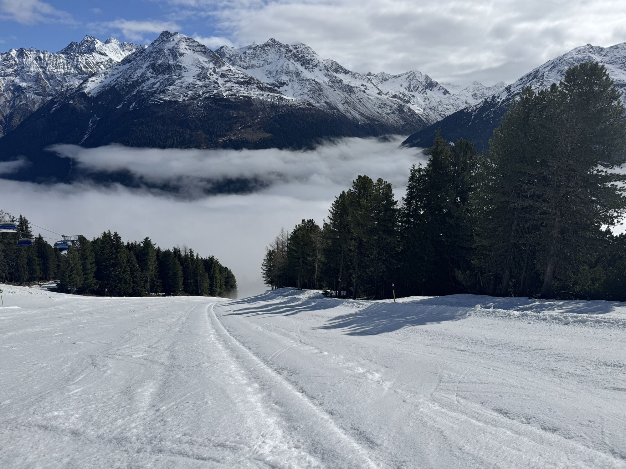
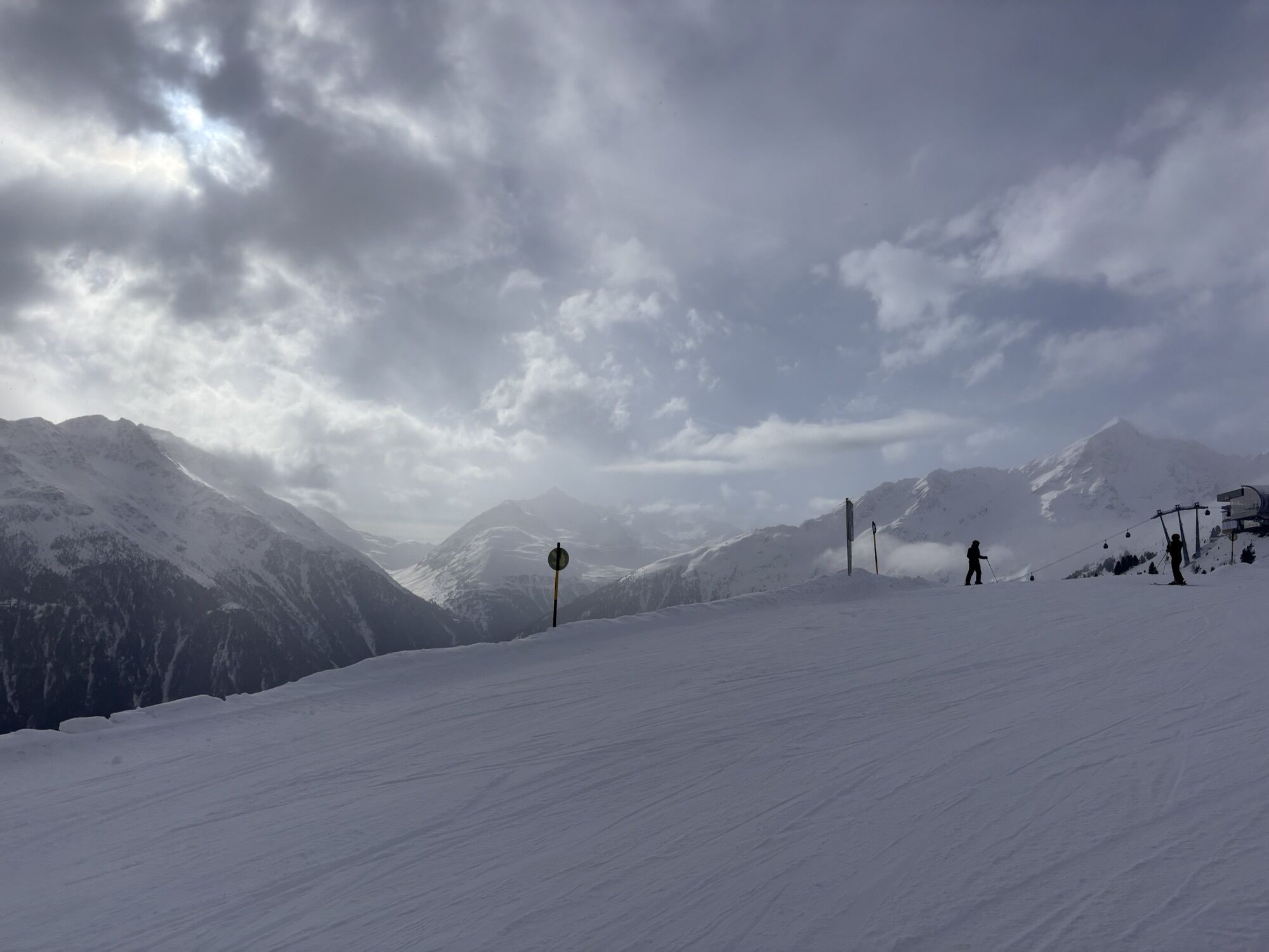
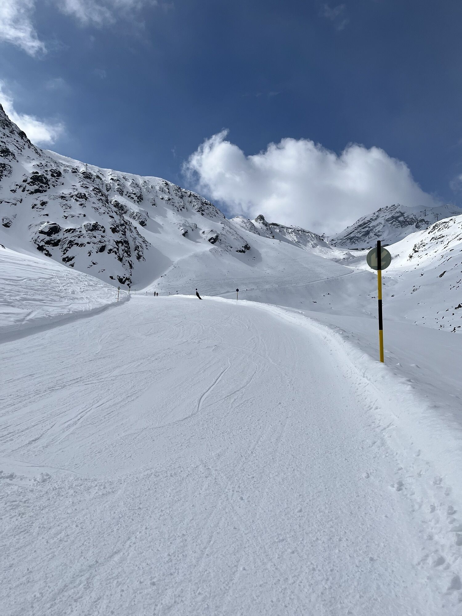
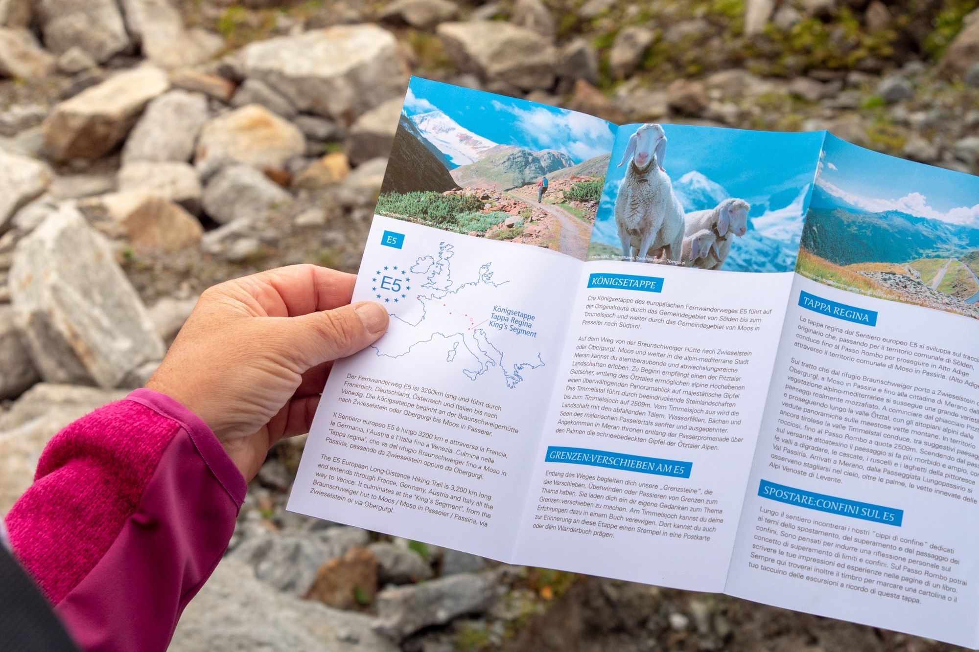
This particularly challenging segment of the trail starts at the Braunschweiger Hut (2,758 m) with a rather steep and difficult ascent to the Pitztaler Jöchl saddle (3,000 m), the highest point of this E5 segment. Once you reach the saddle, you will be rewarded with spectacular views of the Braunschweiger Hut, the Wildspitze mountain, the Rettenbachtal valley and the Riffelsee lake. You may encounter large snowfields in spring and early summer. There is an alternative shorter route via the Rettenbachjoch saddle. Both ways will take you to the Rettenbachferner glacier. From there, you will descend through the Rettenbachtal valley past luscious pastures and a little chapel to Zwieselstein (1,470 m).
Trasa
Braunschweiger Hütte
(2 758 m)
Úkryt
0,0 km
Pitztaler Jochköpfle
(3 023 m)
Summit
1,2 km
Gaislachalm
(1 972 m)
Úkryt
11,7 km
Gaislachalm
(1 961 m)
Susedstvo
12,0 km
Mariahilfkapelle Gaislach
(1 784 m)
Miesto uctievania
13,0 km
Brückenwirt
(1 463 m)
Reštaurácia
16,2 km
Zwieselstein
(1 470 m)
Dedina
16,3 km
Trasa
European E5 long-distance hiking trail – King’s Segment – Braunschweiger Hut to Zwieselstein (original route)
ťažké
diaľková pešia trasa
16,47
km
Marienkapelle
(2 751 m)
Miesto uctievania
0,0 km
Braunschweiger Hütte
(2 758 m)
Úkryt
0,0 km
Pitztaler Jochköpfle
(3 023 m)
Summit
1,2 km
Bergsteigerkapelle Sölden
(2 675 m)
Miesto uctievania
3,1 km
Löple Alm
(1 974 m)
Reštaurácia
10,8 km
Gaislachalm
(1 972 m)
Úkryt
11,7 km
Gaislachalm
(1 961 m)
Susedstvo
12,0 km
Gasthaus Silbertal
(1 970 m)
Reštaurácia
12,0 km
Gaislach
(1 809 m)
Susedstvo
12,9 km
Mariahilfkapelle Gaislach
(1 784 m)
Miesto uctievania
13,0 km
Brückenwirt
(1 463 m)
Reštaurácia
16,2 km
Zwieselstein
(1 470 m)
Dedina
16,3 km
Autor
Poskytuje Ötztal


Informácie o príchode
Príchod
The Ötztal is a southern side valley of the Inn valley. For your arrival by car, you can plan the best route from your home town with the route planner online at https://www.google.at/maps
Verejná doprava
Enjoy a both comfortable and relaxing train ride to the train station in Ötztal Bahnhof. You get off the train in ÖTZTAL Bahnhof where you change to a public bus or local taxi. The current bus schedule can be found at: http://fahrplan.vvt.at
Zatiaľ žiadne recenzie
Webové kamery z prehliadky
-
Seekogel
-
Gaislachkogel
-
Sölden - Schwarze Schneid
-
Sölden - Tiefenbachferner Tal
-
Sölden - Rettenbachferner
-
Sölden - Hochsölden
-
Sölden - Grünwald Resort
-
Top Mountain Crosspoint Hochgurgl
-
Top Mountain Crosspoint Hochgurgl
-
Top Mountain Crosspoint Hochgurgl
-
Top Mountain Crosspoint Hochgurgl
-
Top Mountain Crosspoint Hochgurgl
-
Sölden - Grünwald Resort
-
Giggijoch
-
Giggijoch
-
Giggijoch
-
Giggijoch
-
Giggijoch
-
Giggijoch
-
Giggijoch
-
Giggijoch
-
Top Mountain Crosspoint Hochgurgl
-
Schwarze Schneid Mittelstation
-
The Peak Sölden**** Chalets und Appartements
Získajte prehľad
Vždy naživo na mieste s viac ako 9 500 webovými kamerami. bergfex Ako používateľ Pro si teraz môžete pozrieť príslušné webové kamery pre mnohé zájazdy v aplikácii zájazdy z. Môžete si tak priamo prezerať aktuálne podmienky.
Obľúbené výlety v okolí
-
4,8
Vent - Kreuzspitze
Turistika 20,6 km -
4,3
Amberger Hut - Längenfeld/Gries
strednáTuristika 5,60 km -
4,4
Hochtour Wildspitze, 3.768m
strednáVysoké turné 9,75 km -
4,4
Rundwanderung Hängebrück3
svetloTuristika 6,32 km -
4,7
Winter circular route Brandalm/Burgstein - Längenfeld 204
strednáZimná turistika 5,44 km -
3,1
Tiefenbachglacier - Mountaineering Village Vent
strednáTuristika 10,8 km -
4,5
Vent - Wilder Mann - Breslauer Hütte - Stableinalm
strednáTuristika 7,25 km -
4,1
Hohe Geige über Gawinden und den Westgrat
ťažkéTuristika 14,3 km -
5,0
Nissl Alm - Längenfeld/Gries
svetloTuristika 5,17 km -
5,0
Obergurgl - Ramolhaus
Turistika 7 km

Turistika a stopovanie

Viac ako 550.000 návrhov výletov, podrobné mapy a intuitívny plánovač trás robia z aplikácie povinnú výbavu pre všetkých nadšencov prírody.

Nenechajte si ujsť ponuky a inšpiráciu na ďalšiu dovolenku
Prihlásiť sa k odberu noviniek
Chyba
Vyskytla sa chyba. Prosím, skúste to znova.
Ďakujeme za vašu registráciu
Vaša e-mailová adresa bol pridaný do poštového zoznamu.
Zájazdy po celej Európe
Rakúsko
Švajčiarsko
Nemecko
Taliansko
Slovinsko
Francúzsko
Holandsko
Belgicko
Poľsko
Lichtenštajnsko
Česko
Slovensko
španielsko
Hrvaška
Bosna a Hercegovina
Luxembursko
Andorra
Portugalsko
Island
Spojené kráľovstvo
Írsko
Grécko
Albánsko
Severné Macedónsko
Malta
Nórsko
Čierna Hora
Moldavsko
Kosovo
Maďarsko
San Maríno
Rumunsko
Estónsko
Lotyšsko
Bielorusko
Cyprus
Litva
Srbsko
Bulharsko
Monako
Dánsko
Švédsko
Fínsko





