


Tiefenbachglacier - Mountaineering Village Vent
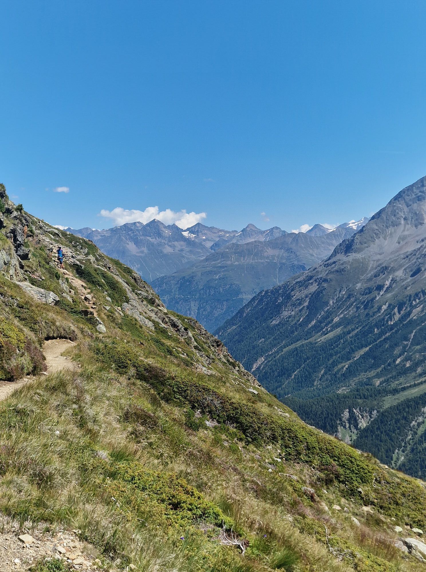

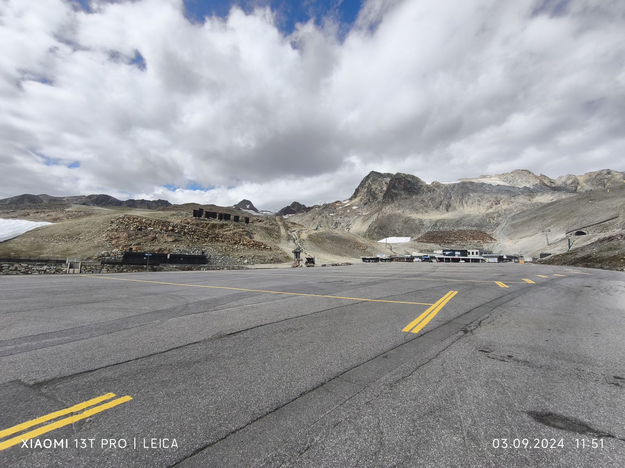
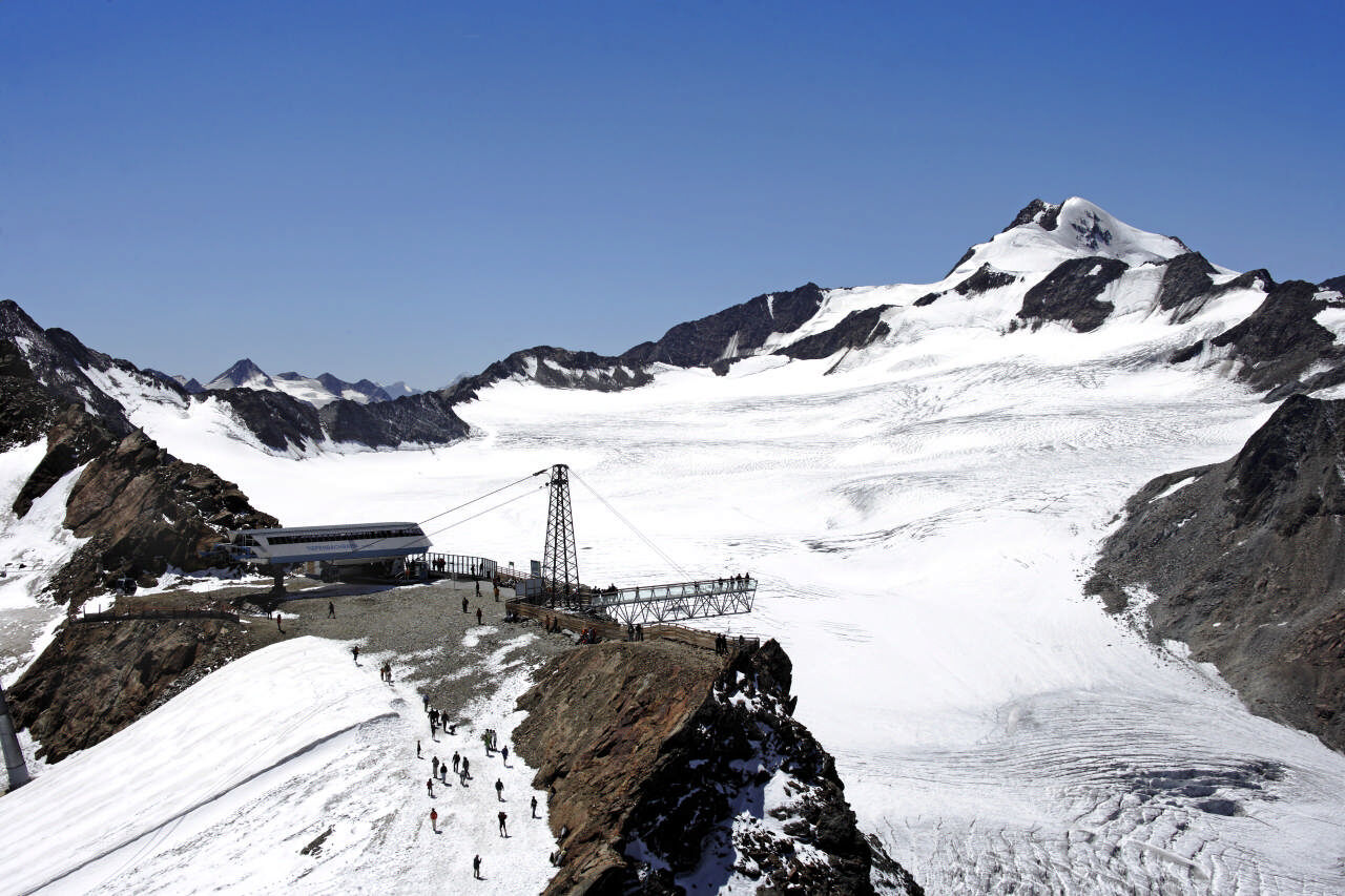
Wonderful alpine panorama trail from 2,800 m to 1,900 m. The starting point is the parking lot of the Tiefenbach glacier. This beautifully landscaped path can be made by sure-footed hikers.
A lot of views...
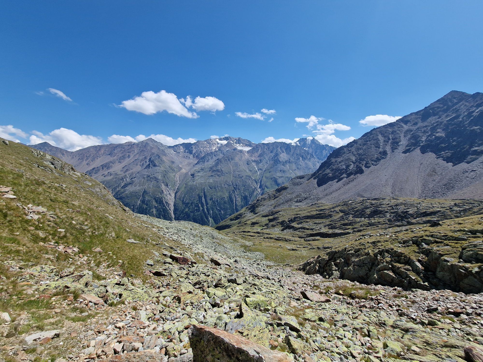
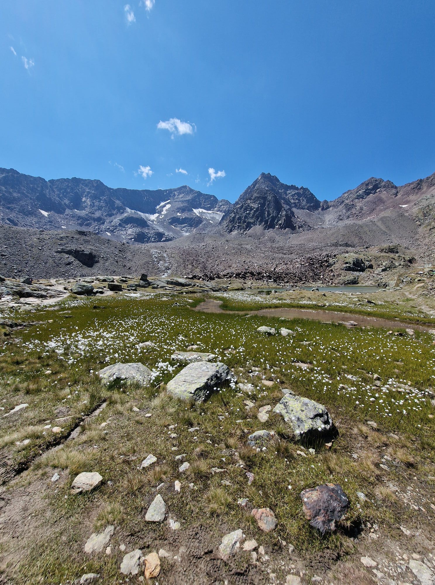
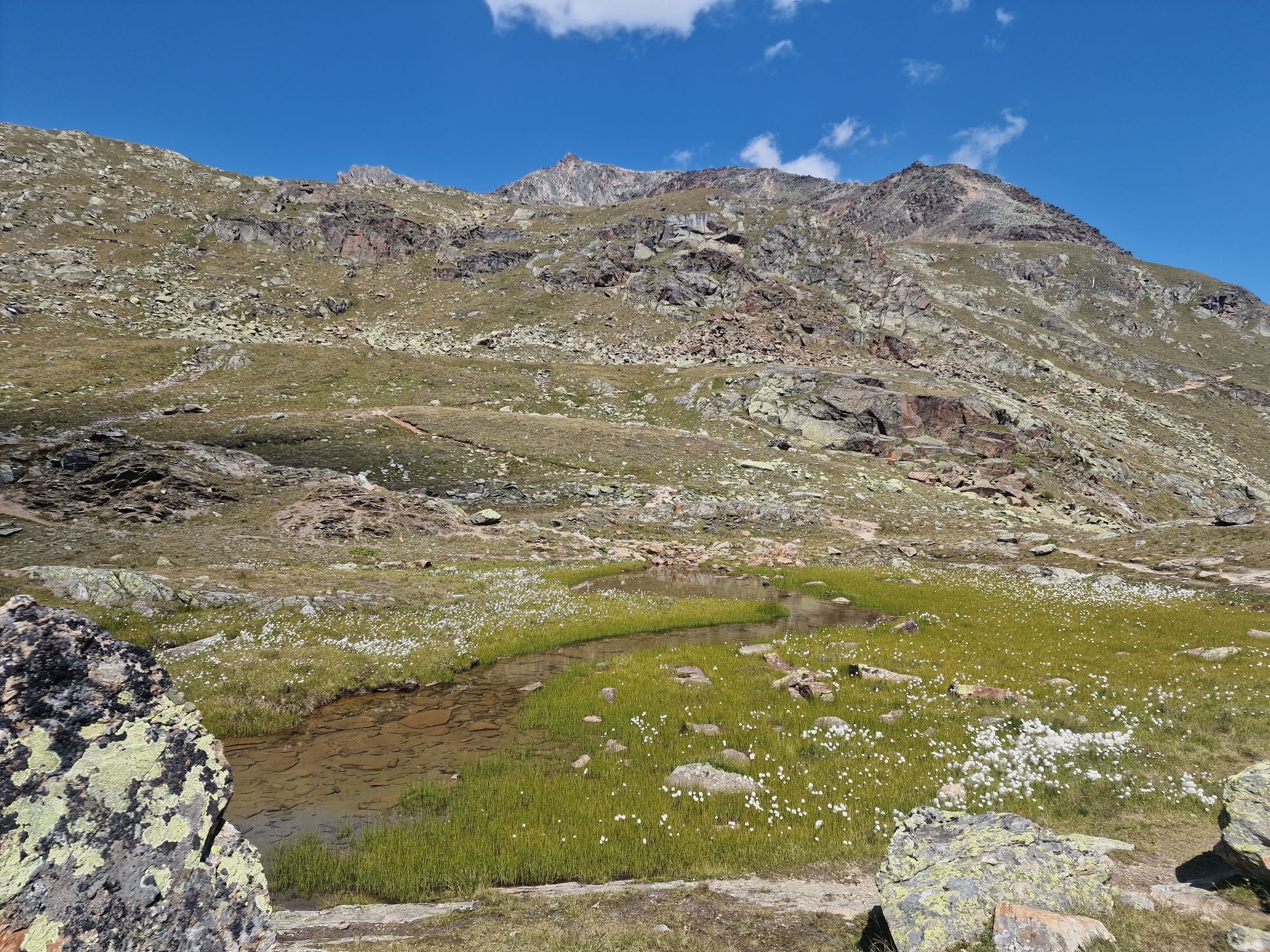
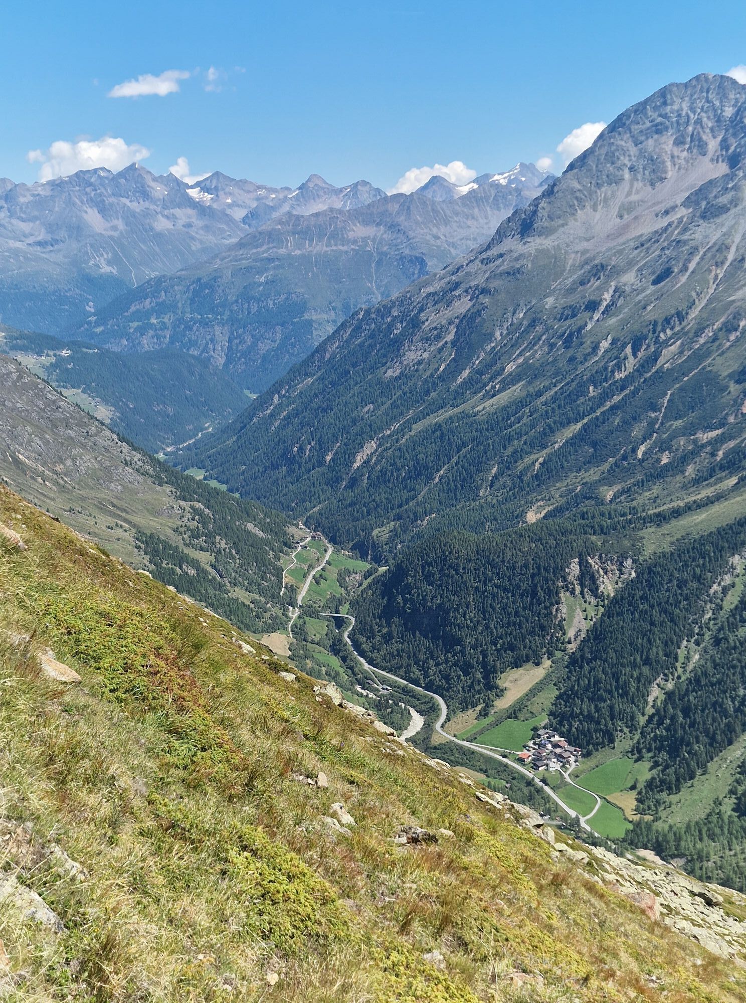
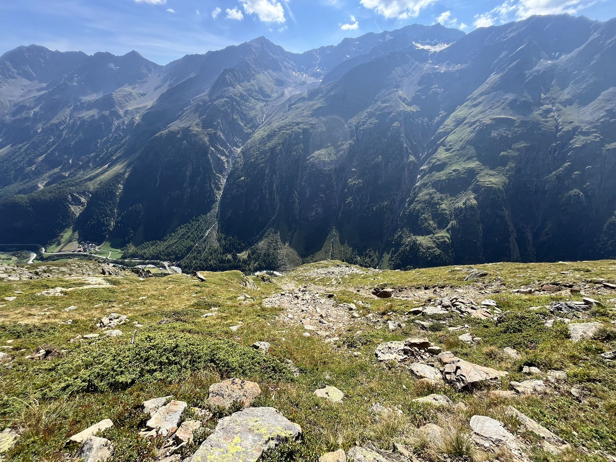
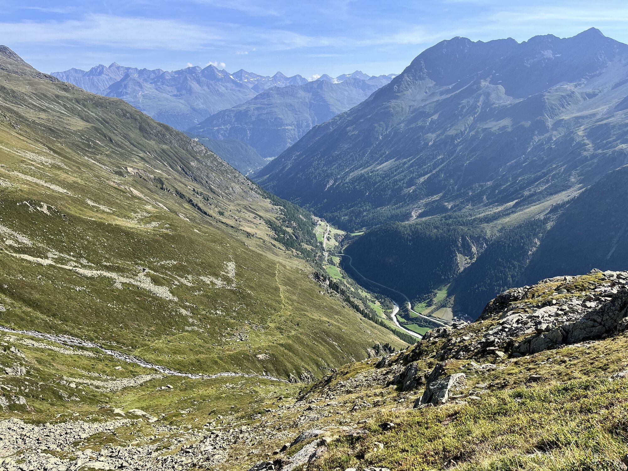
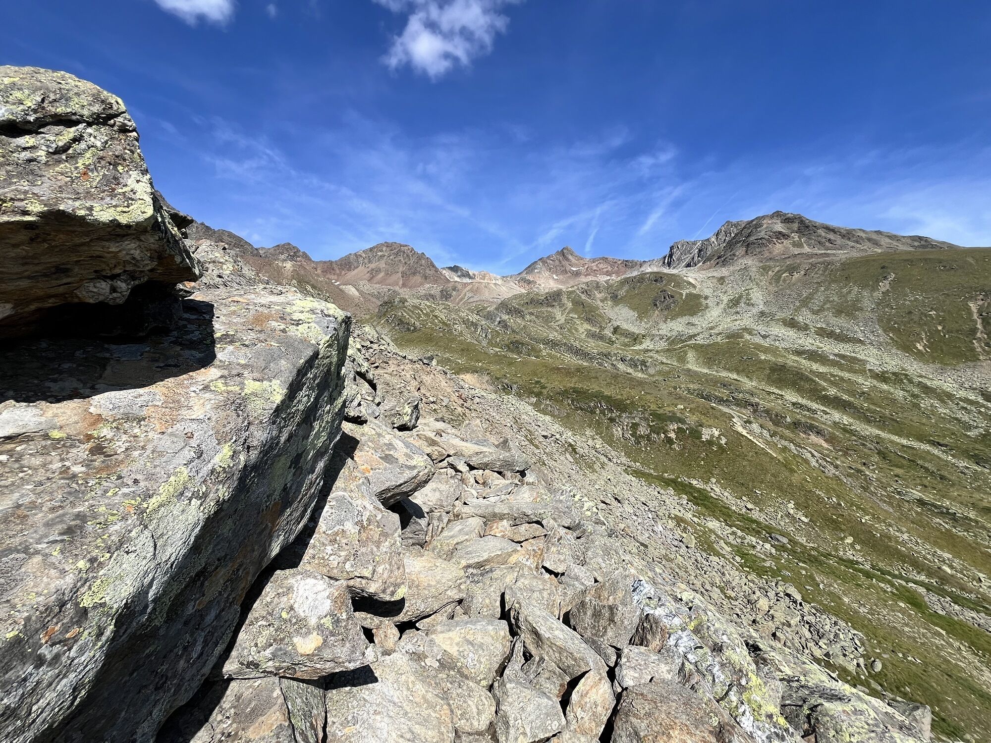
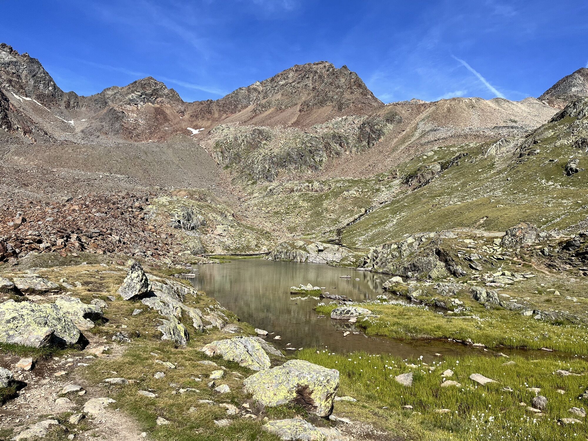
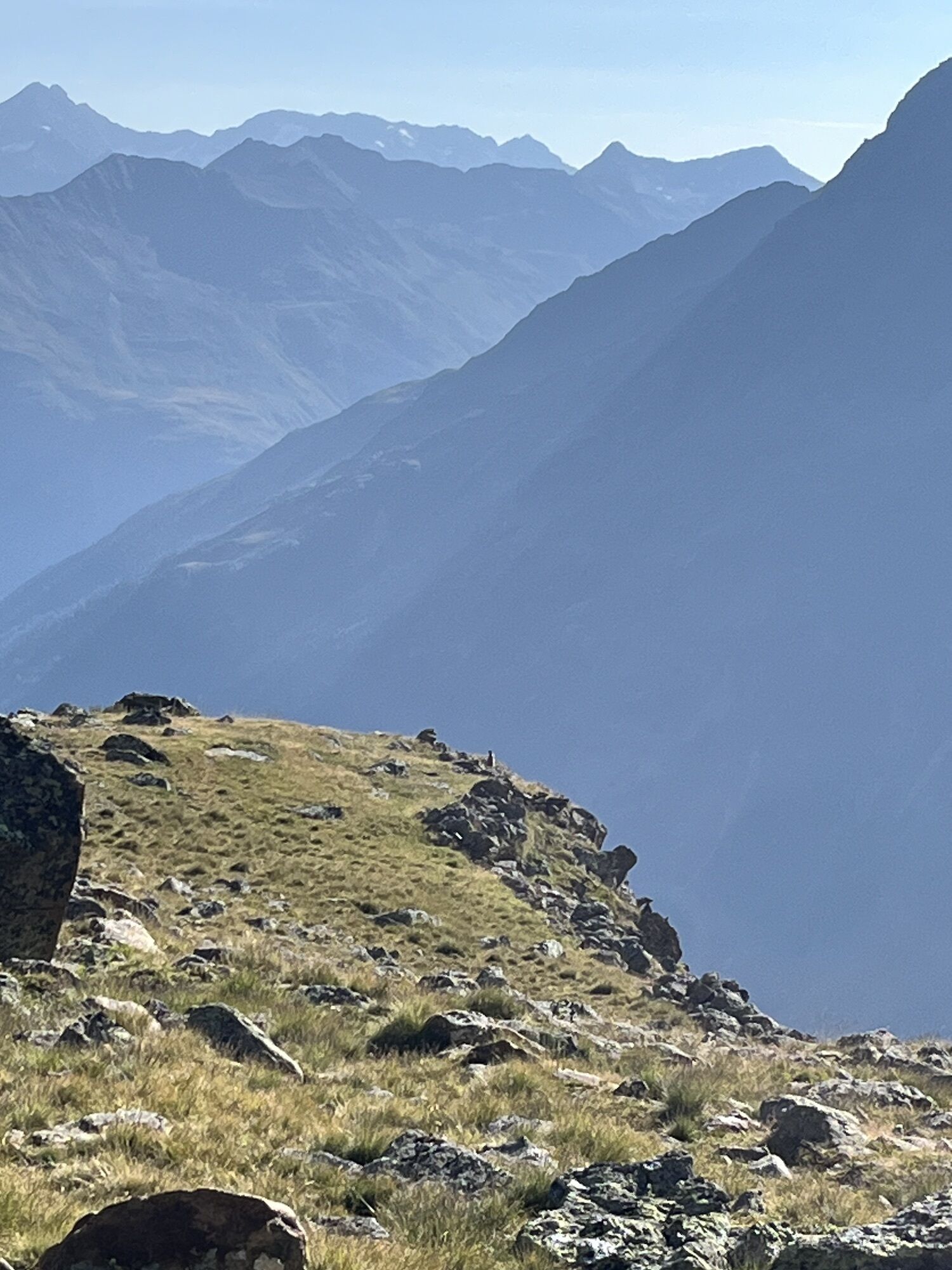
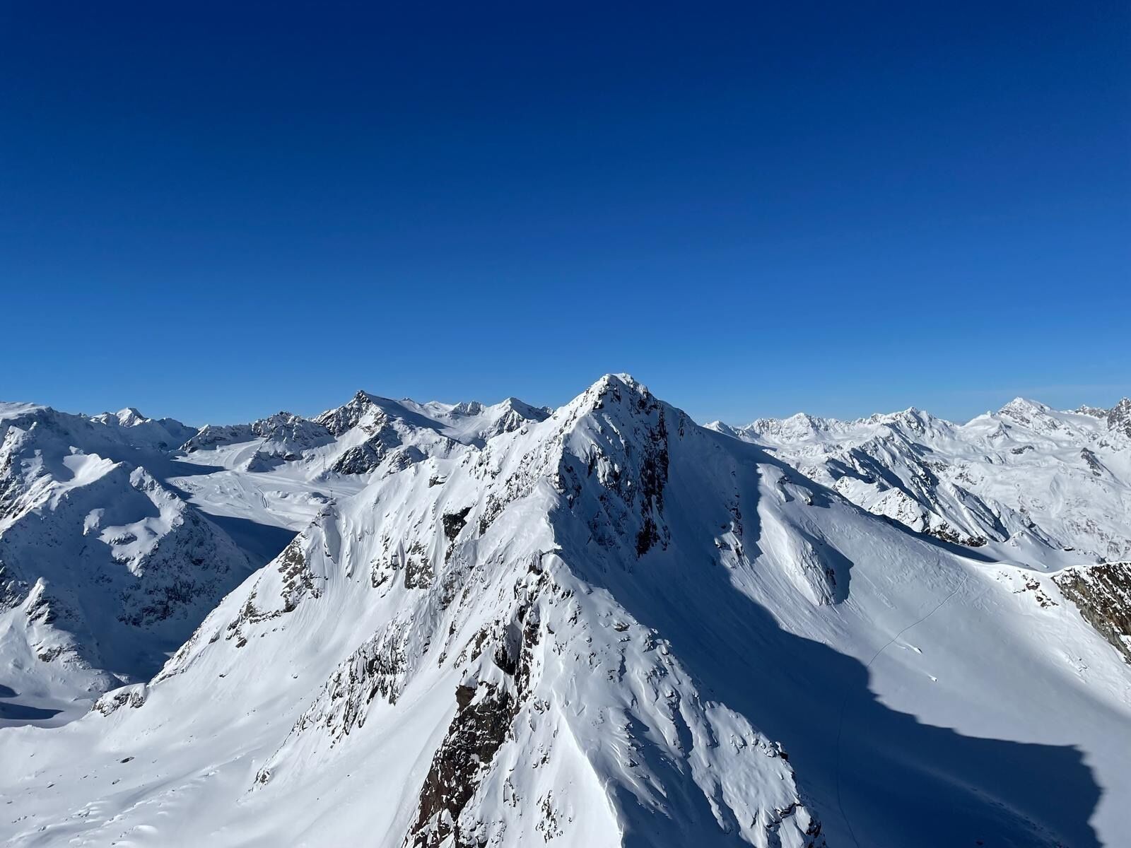
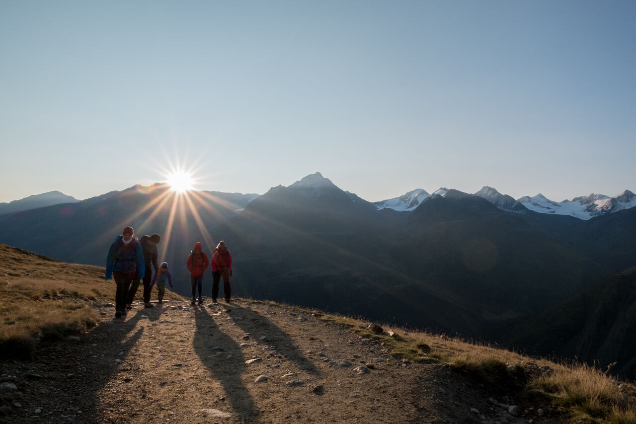
A lot of views with barely uphill-meters - that's what a wonderful panorama trail offers, which runs from the station at the Tiefenbachferner in the Ötztal Alps to Vent, the mountaineering village at the beginning of the Rofental. On the approximately half-day hike with a descent of 900 meters altitude you have beautiful views of the White Crest and on the opposite chain around the Ramolkogel. For sure-footed hikers a true nature experience from the glaciers to green alpine meadows, away from the hustle and bustle


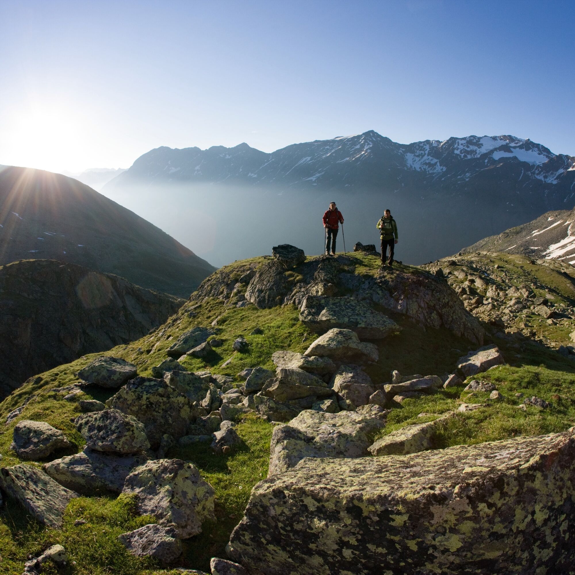
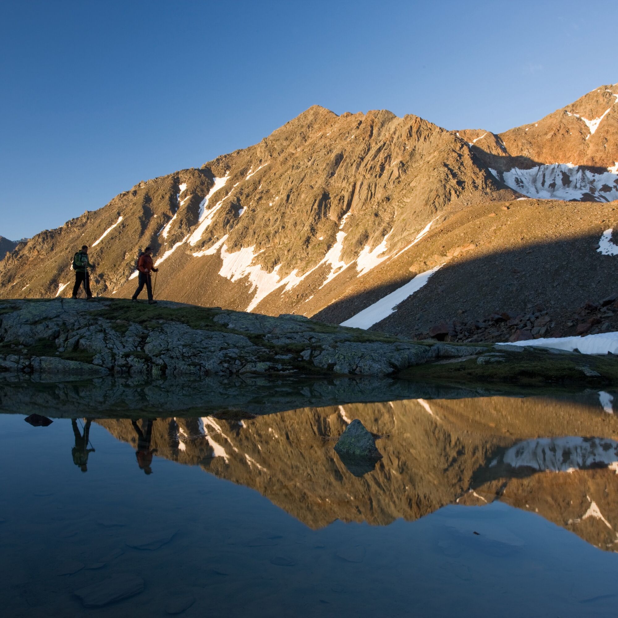
Caution is advised in uncertain weather forecast, because you can not descend early to the valley. Therefore, this hike should be committed only in stable weather conditions. Throughout the tour you can enjoy magnificent views of opposite ridges, from the Nederkogel to the Großer Ramolkogel.
Appropriate equipment such as breathable suitable outdoor clothes for the weather, ankle-high walking boots, wind-, rain- & sun protection, hat, possibly gloves, is for all hikes and tours necessary. Please bring a first-aid box, a mobile phone, a walking map and if there is no hut on the way a snack and enough to drink.
Please note the current weather report under Weather Sölden
To the route planner: https://www.google.at/maps
All parking is free during the day.
Parking for several days (eg hike tour):
Postplatz, Parkticket available at the information Sölden Parkgarage Gaislachkoglbahn, Parkticket either online or directly at the cash desk of the GaislachkoglbahnThe bus ride from Sölden to Tiefenbach Glacier incl toll and the bus ride from Vent to Sölden can be purchased directly in the bus.
Webové kamery z prehliadky
-
Venter Seilbahnen - DSL Wildspitze
-
Seekogel
-
Gaislachkogel
-
Sölden - Schwarze Schneid
-
Sölden - Tiefenbachferner Tal
-
Sölden - Rettenbachferner
-
Alt Vent
-
Geierwallihof - Rofen/Vent
-
Vent
-
Vent
-
Vent
-
Schwarze Schneid Mittelstation
-
Sölden - Gaislachkogelbahn Mittelstation
-
Sölden - Schwarzkogl Talstation
-
Sölden - Tiefenbachkogl
Aktivity počas prehliadky


Obľúbené výlety v okolí
-
4,8
Vent - Kreuzspitze
Turistika 20,6 km -
4,4
Hochtour Wildspitze, 3.768m
strednáVysoké turné 9,75 km -
4,5
Vent - Wilder Mann - Breslauer Hütte - Stableinalm
strednáTuristika 7,25 km -
4,1
Hohe Geige über Gawinden und den Westgrat
ťažkéTuristika 14,3 km -
5,0
Obergurgl - Ramolhaus
Turistika 7 km -
5,0
From Vent to the Similaun at 3,606 m
ťažkéVysoké turné 29,2 km -
4,8
Vent - Martin Busch Hut - Similaun Hut
strednáTuristika 13,7 km -
4,0
E5 - 4. Etappe: Zams - Braunschweiger Hütte
strednádiaľková pešia trasa 5 km -
5,0
Siegerland Hut
strednáTuristika 8,08 km -
5,0
07. 19.07.19 - Langeggbahn-Rotkogel–Schwarzsee-Schwarzkogel-Giggijochbahn
strednáTuristika 6,67 km
Turistika a stopovanie


Nenechajte si ujsť ponuky a inšpiráciu na ďalšiu dovolenku
Vaša e-mailová adresa bol pridaný do poštového zoznamu.