


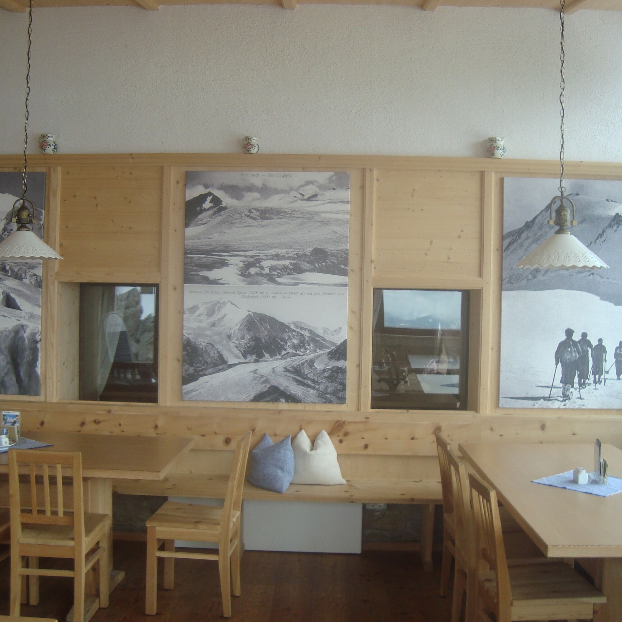
Vent - Martin Busch Hut - Similaun Hut

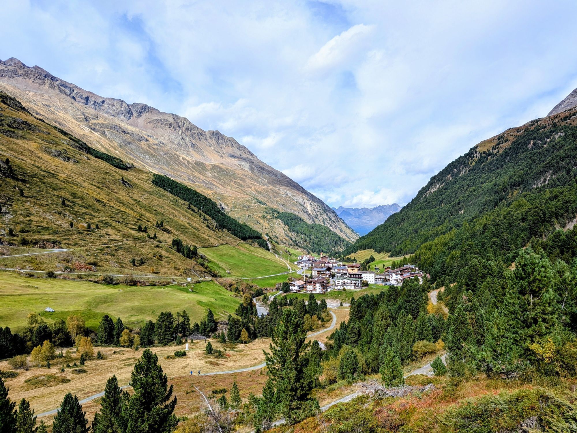

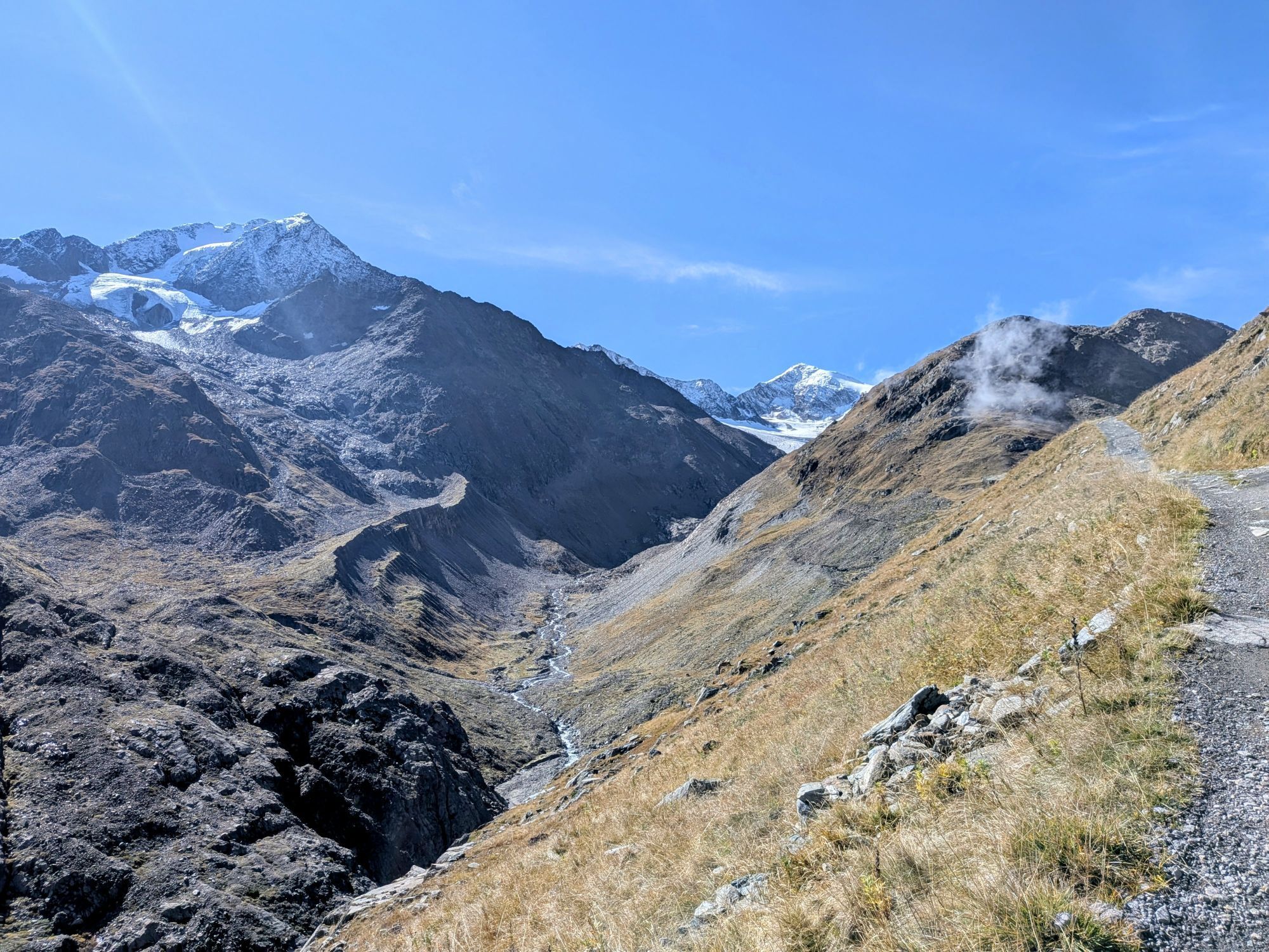
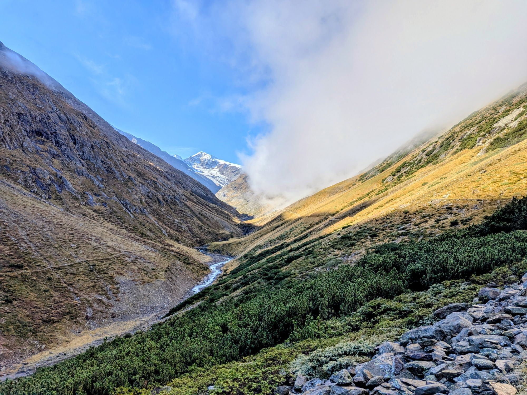

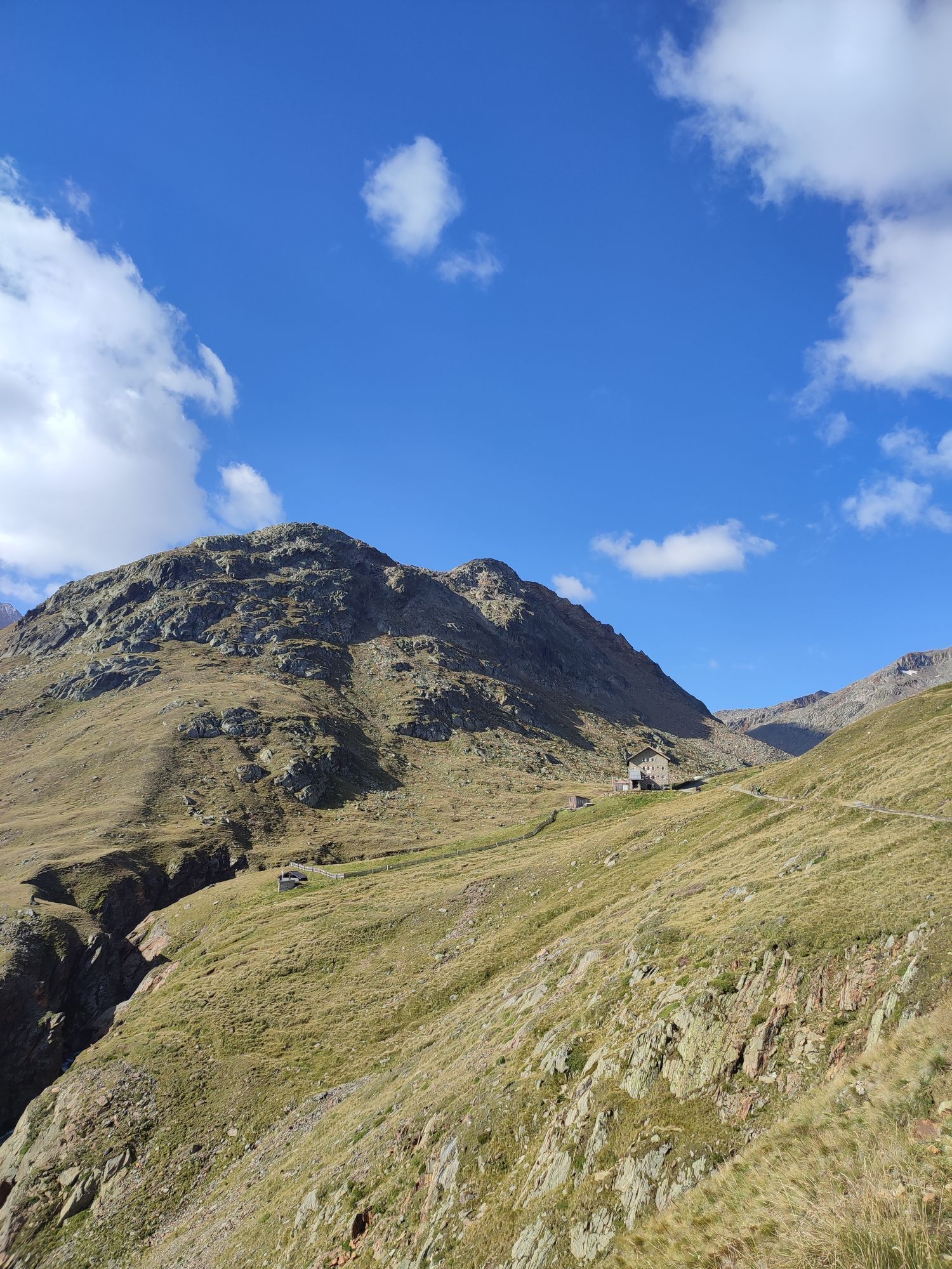
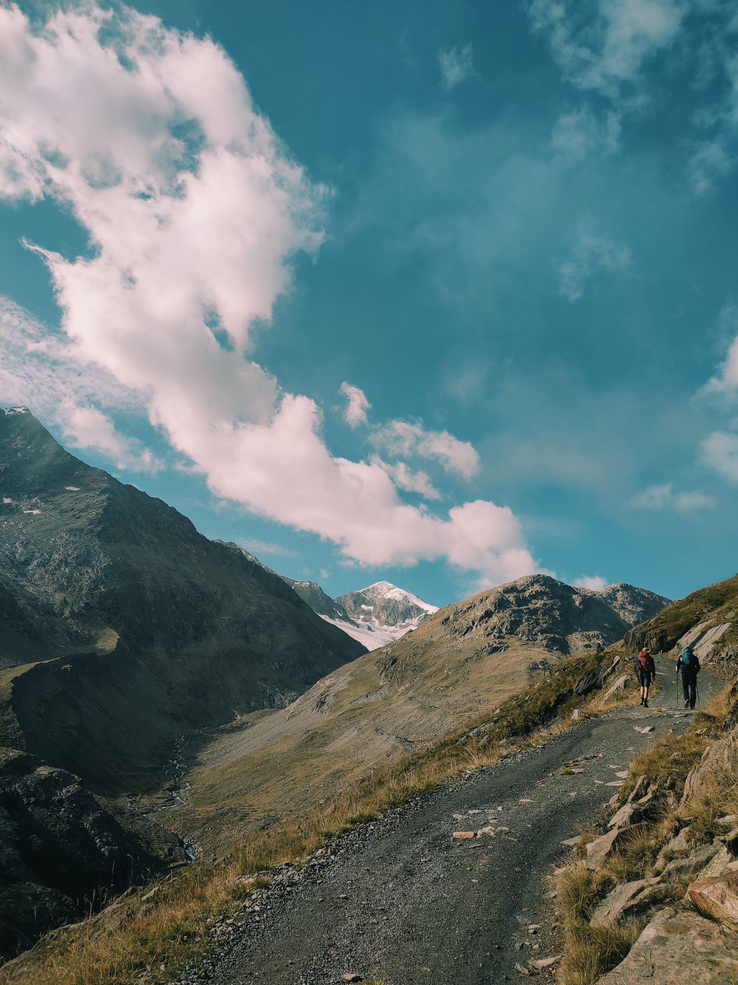
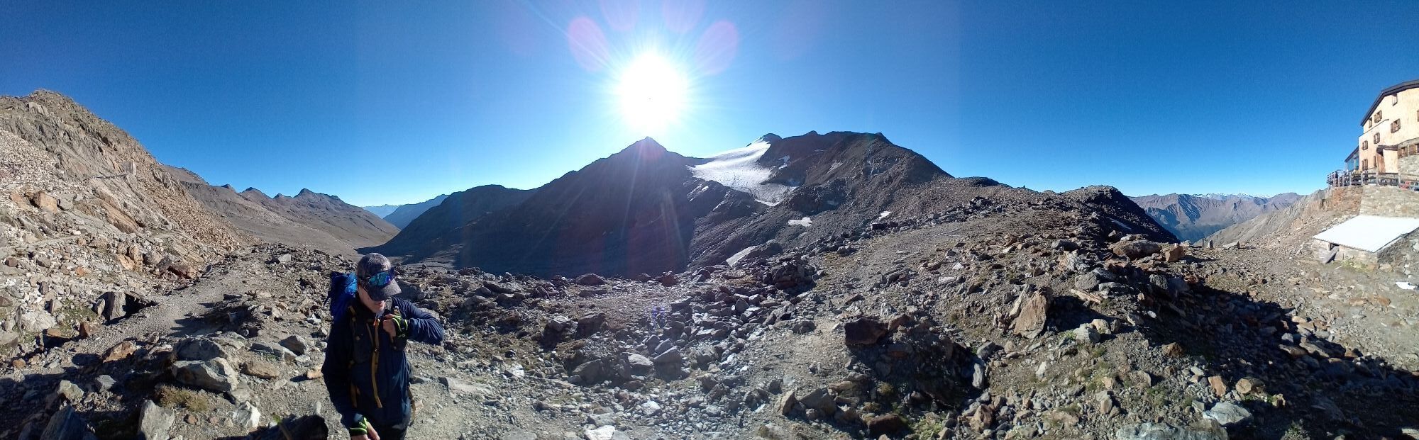
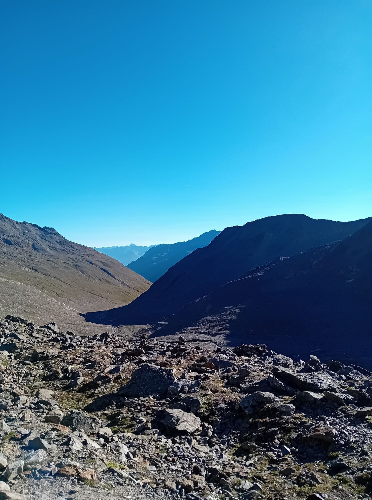
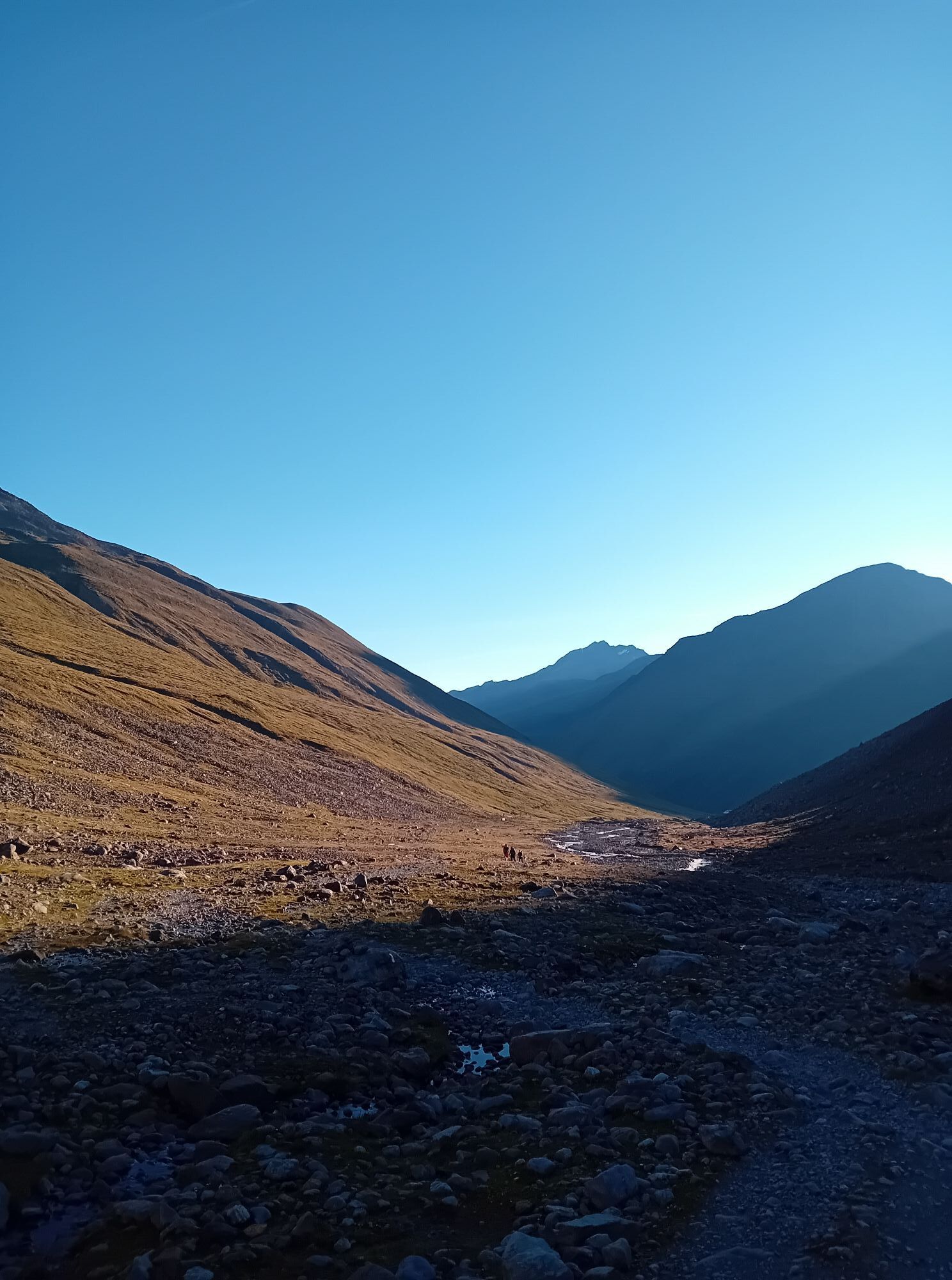
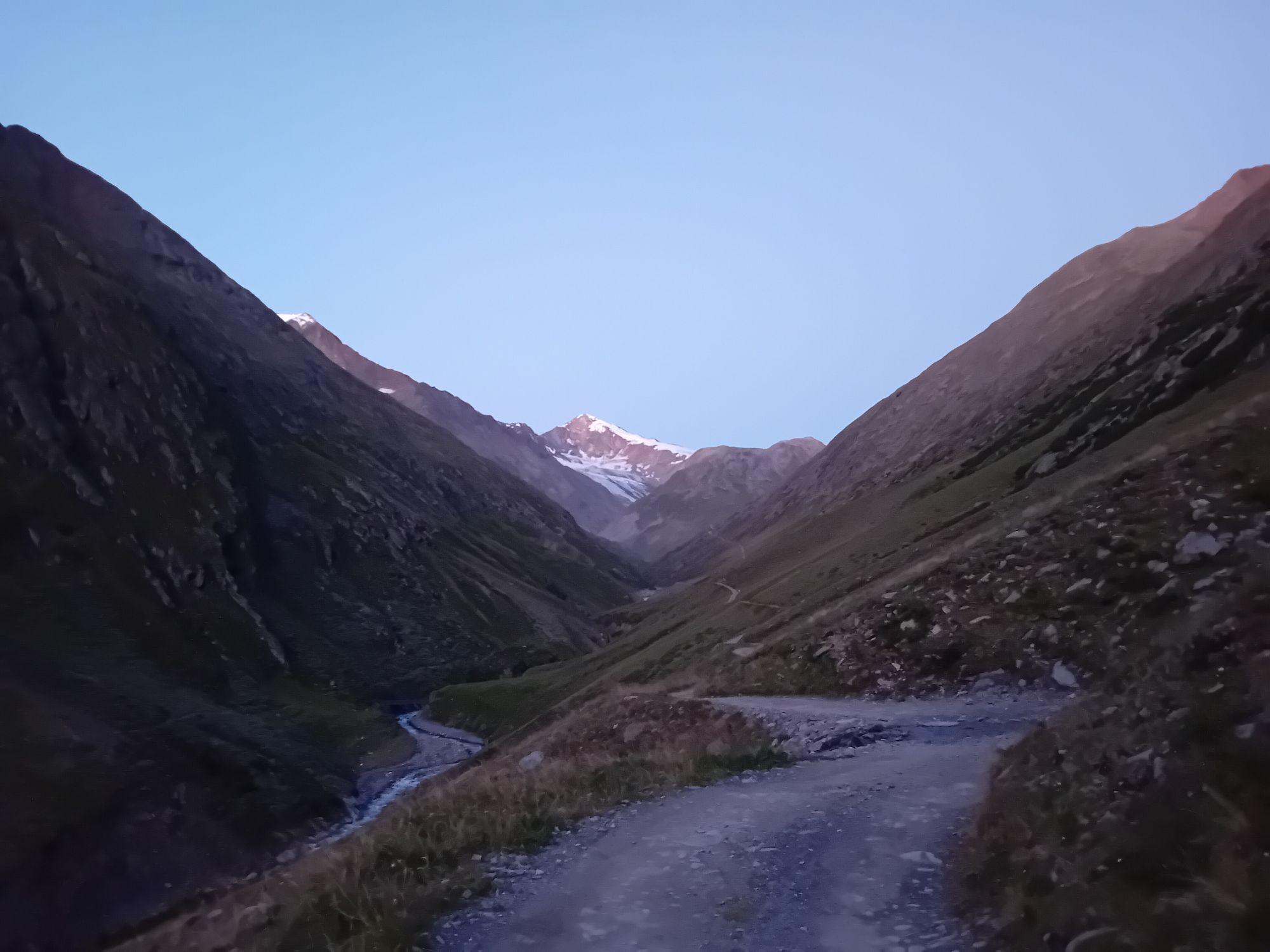
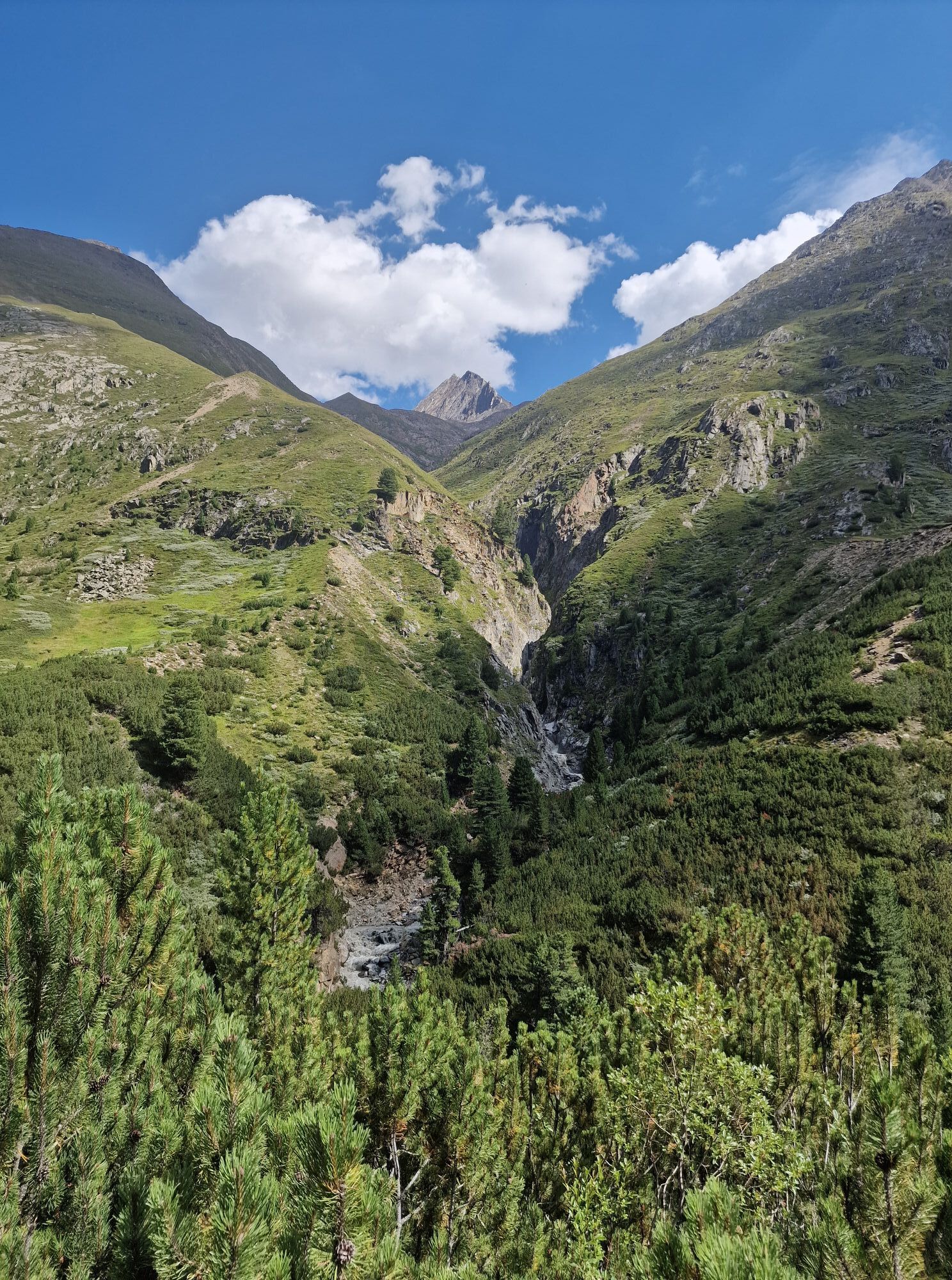
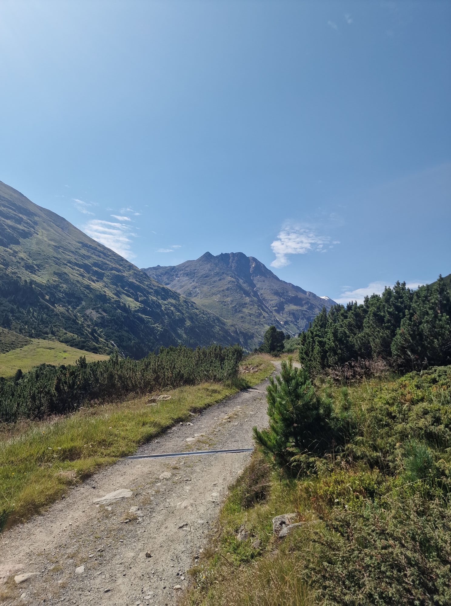
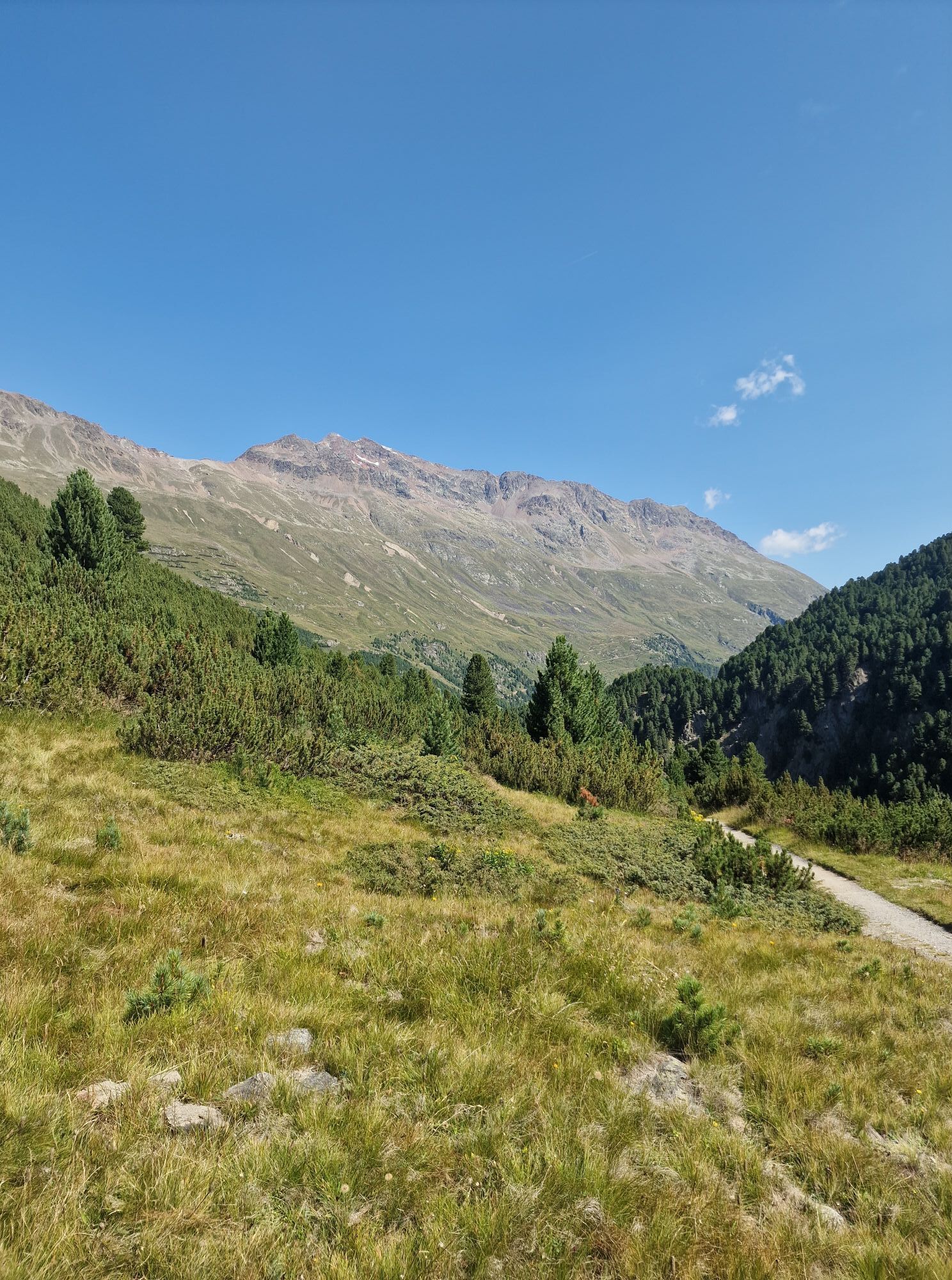
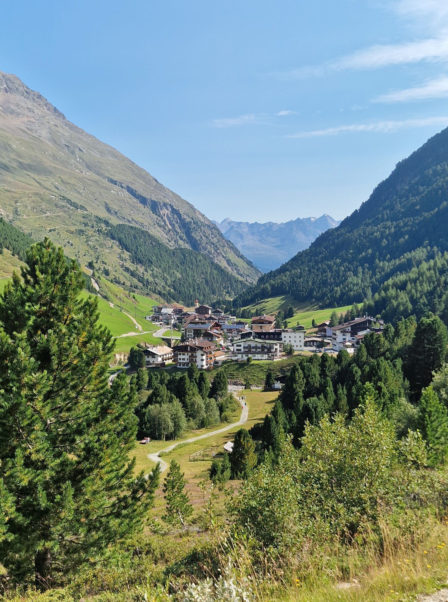
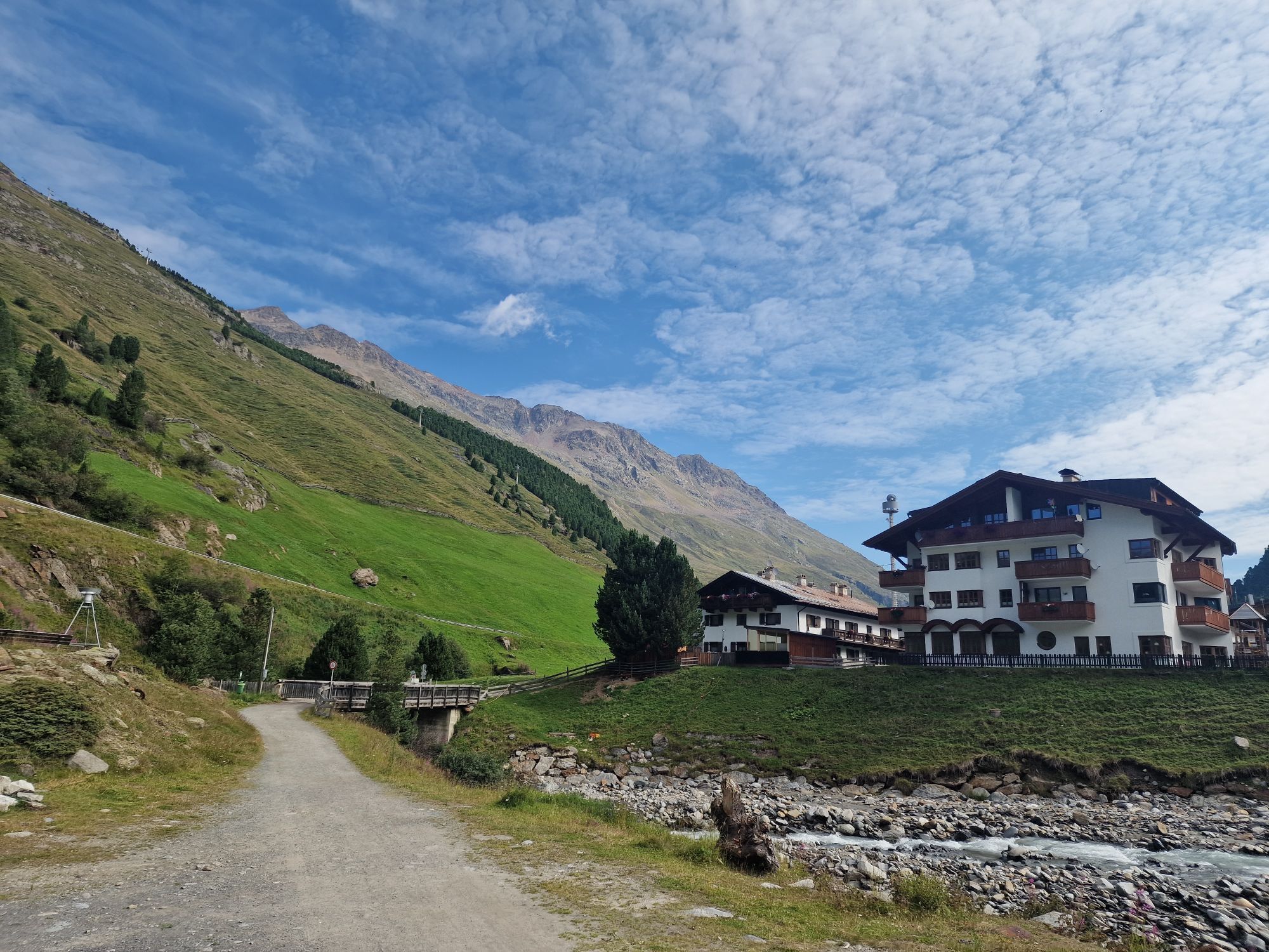
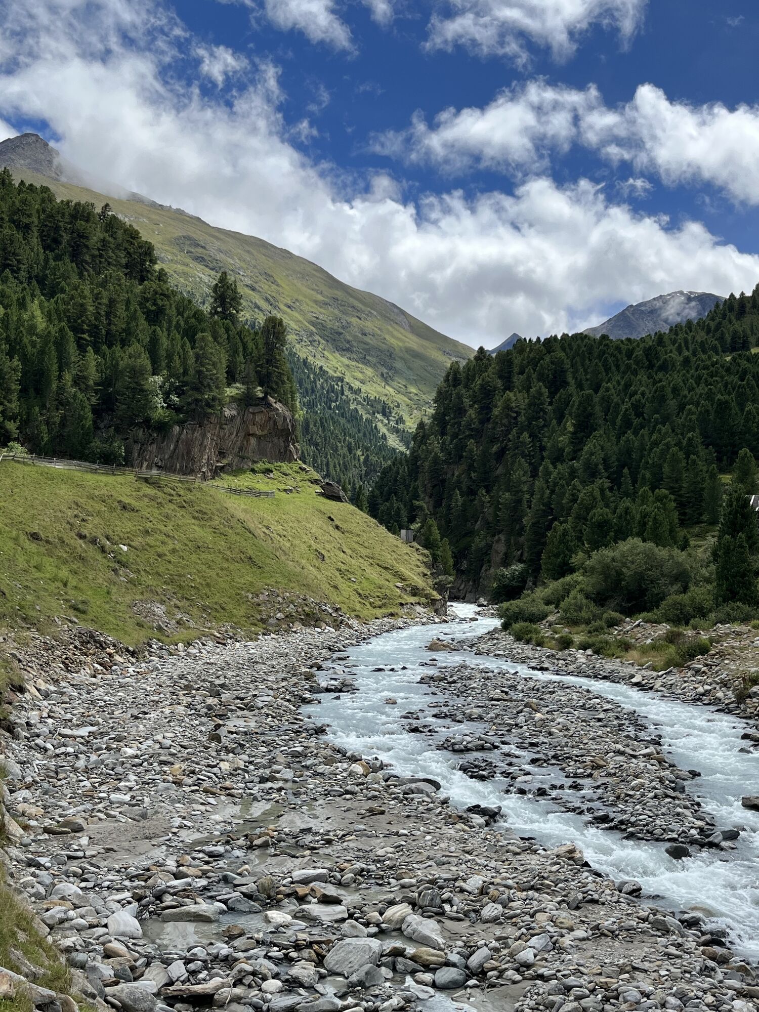
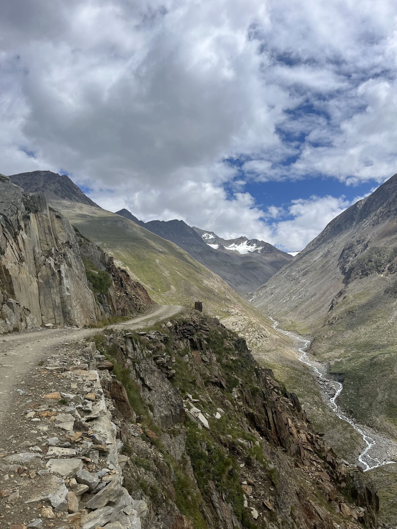
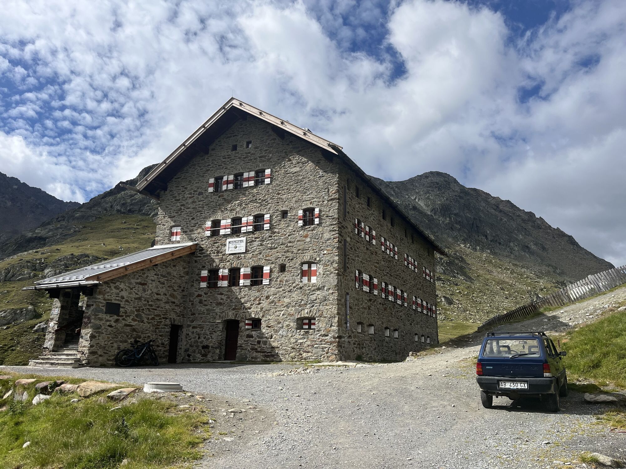
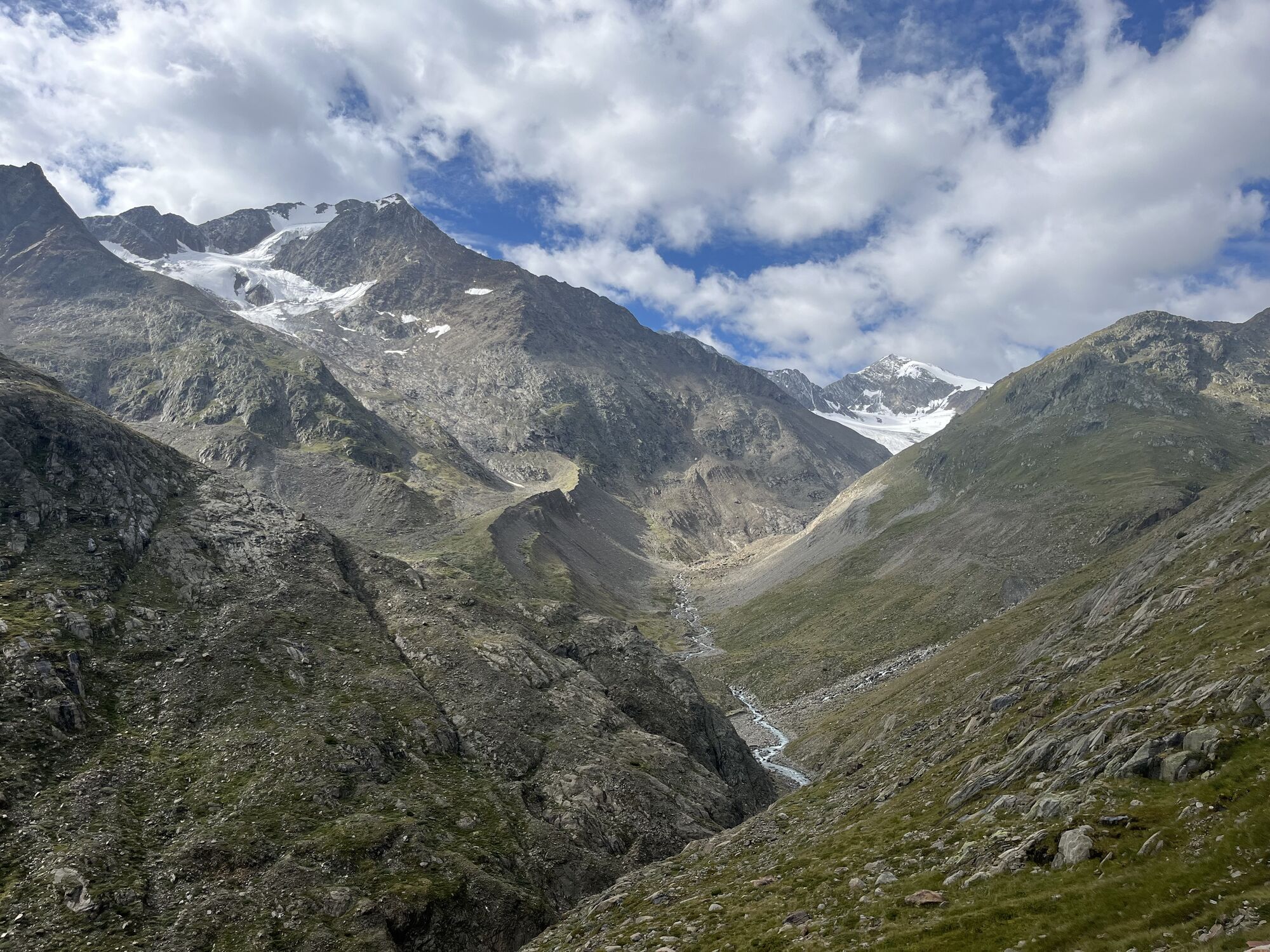
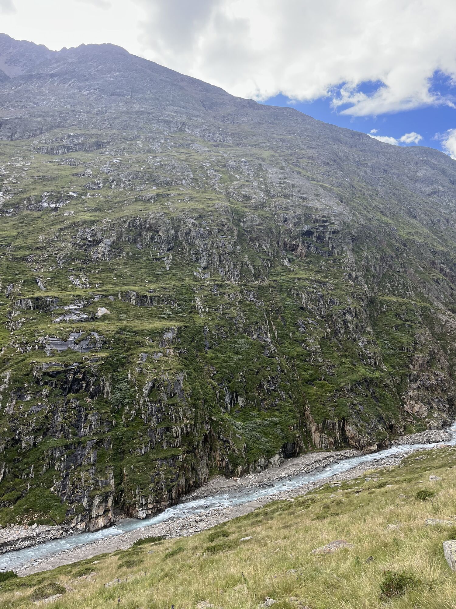
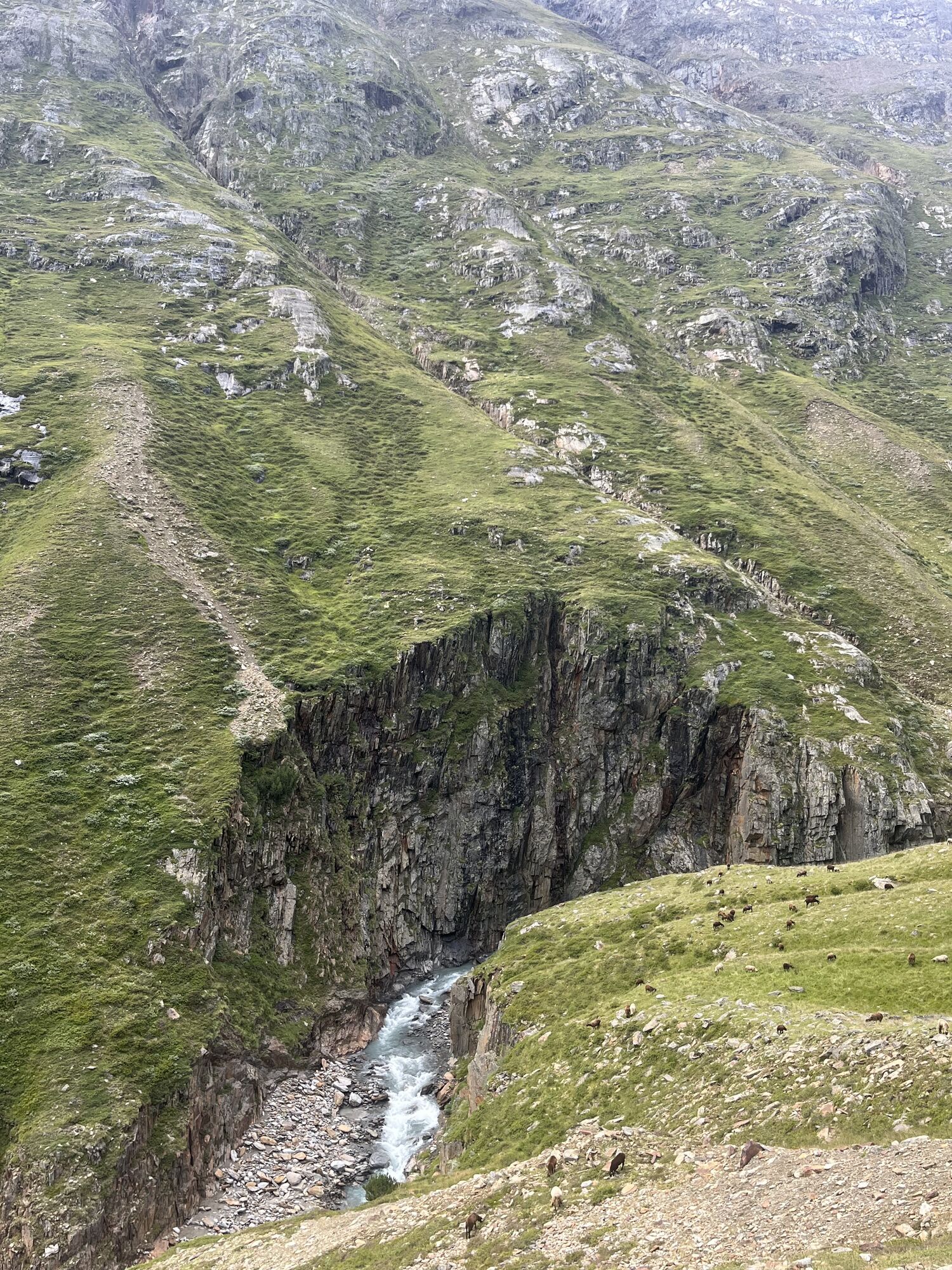
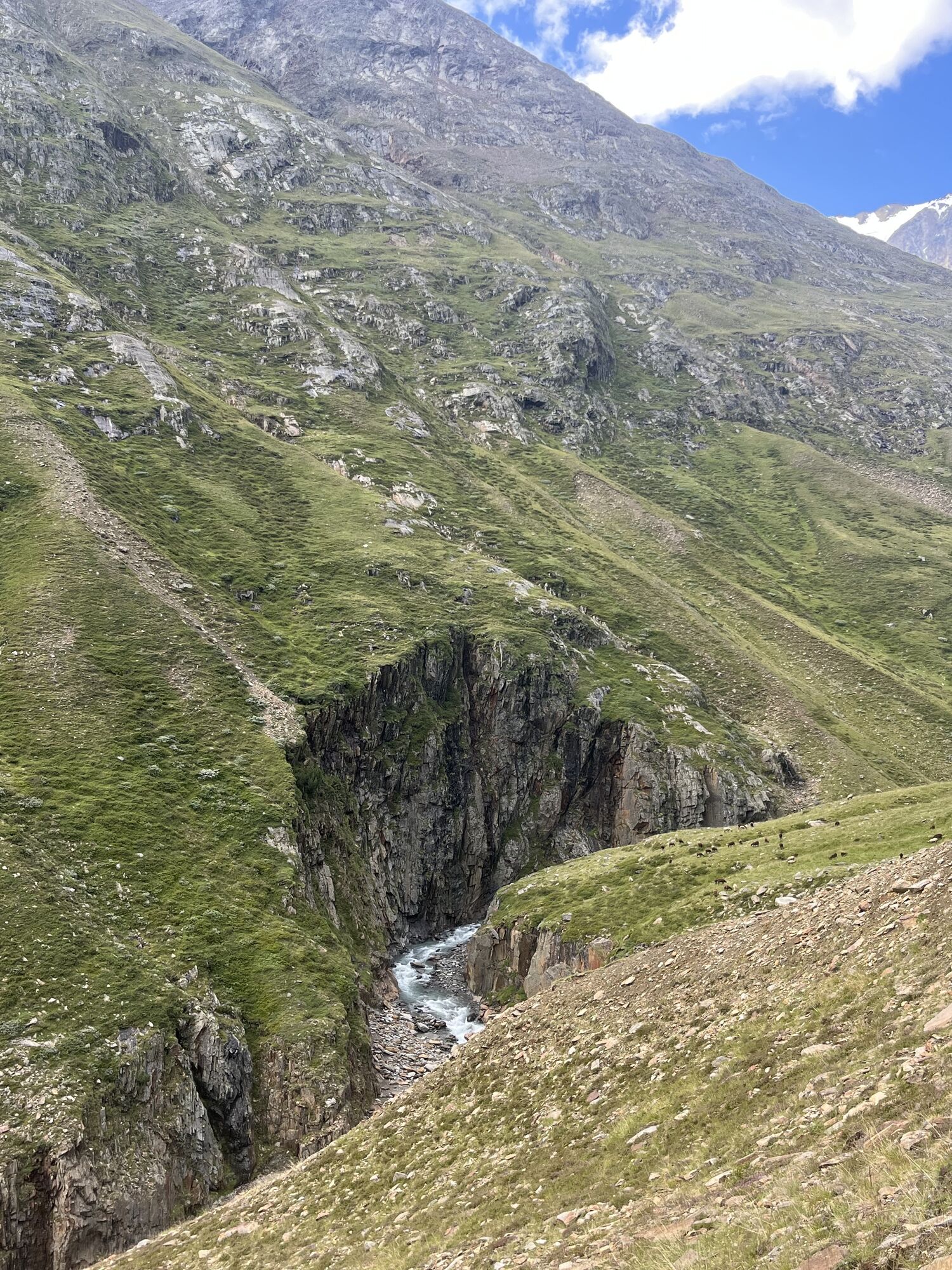
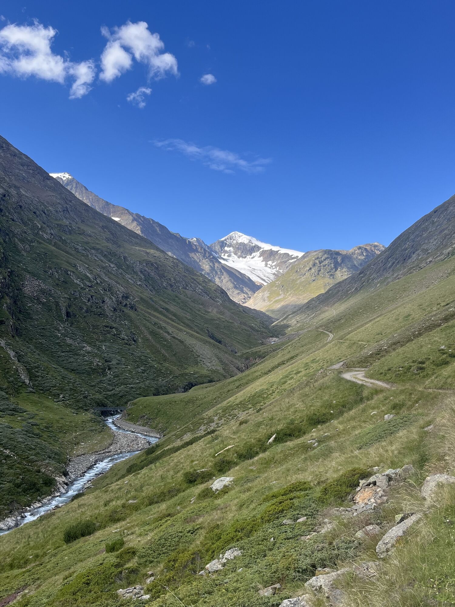
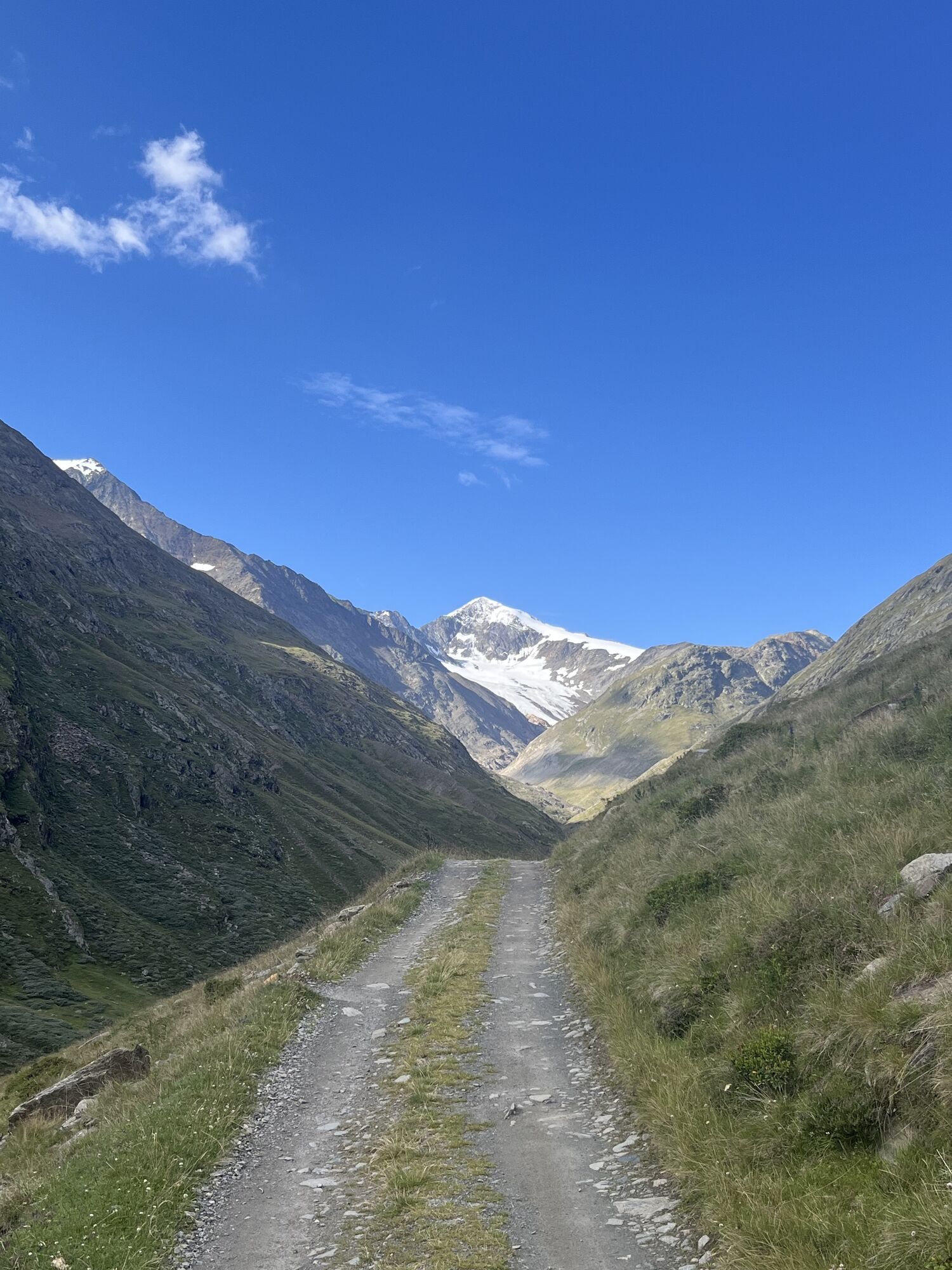
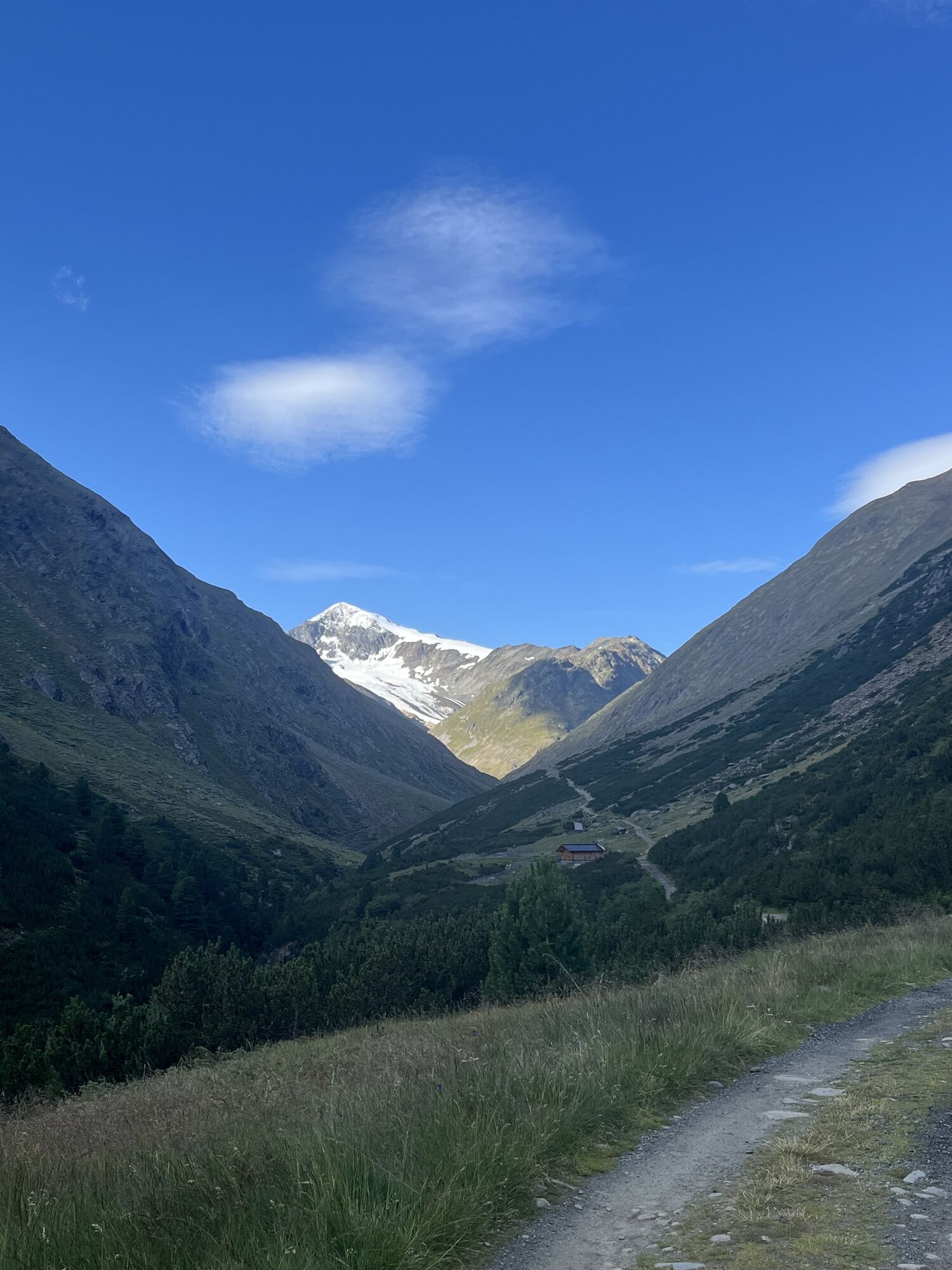
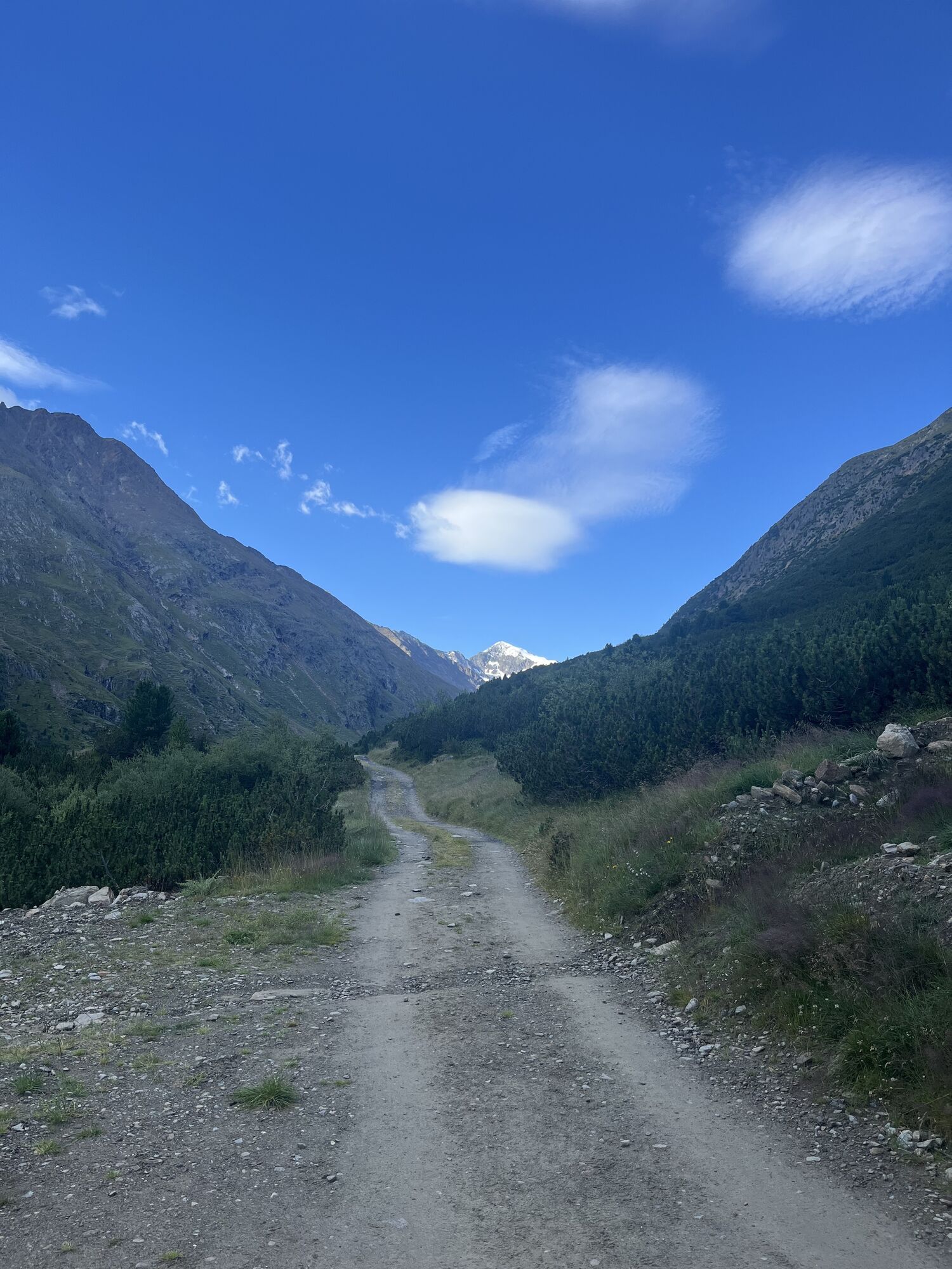
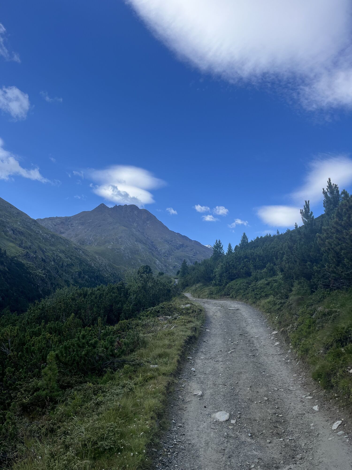
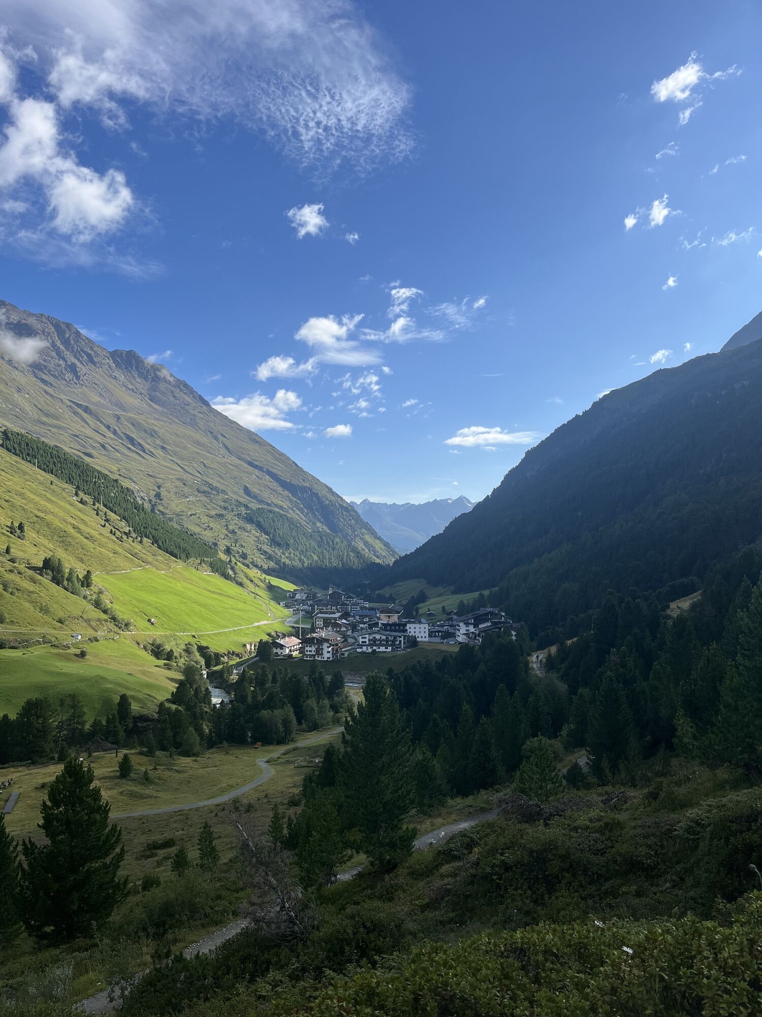
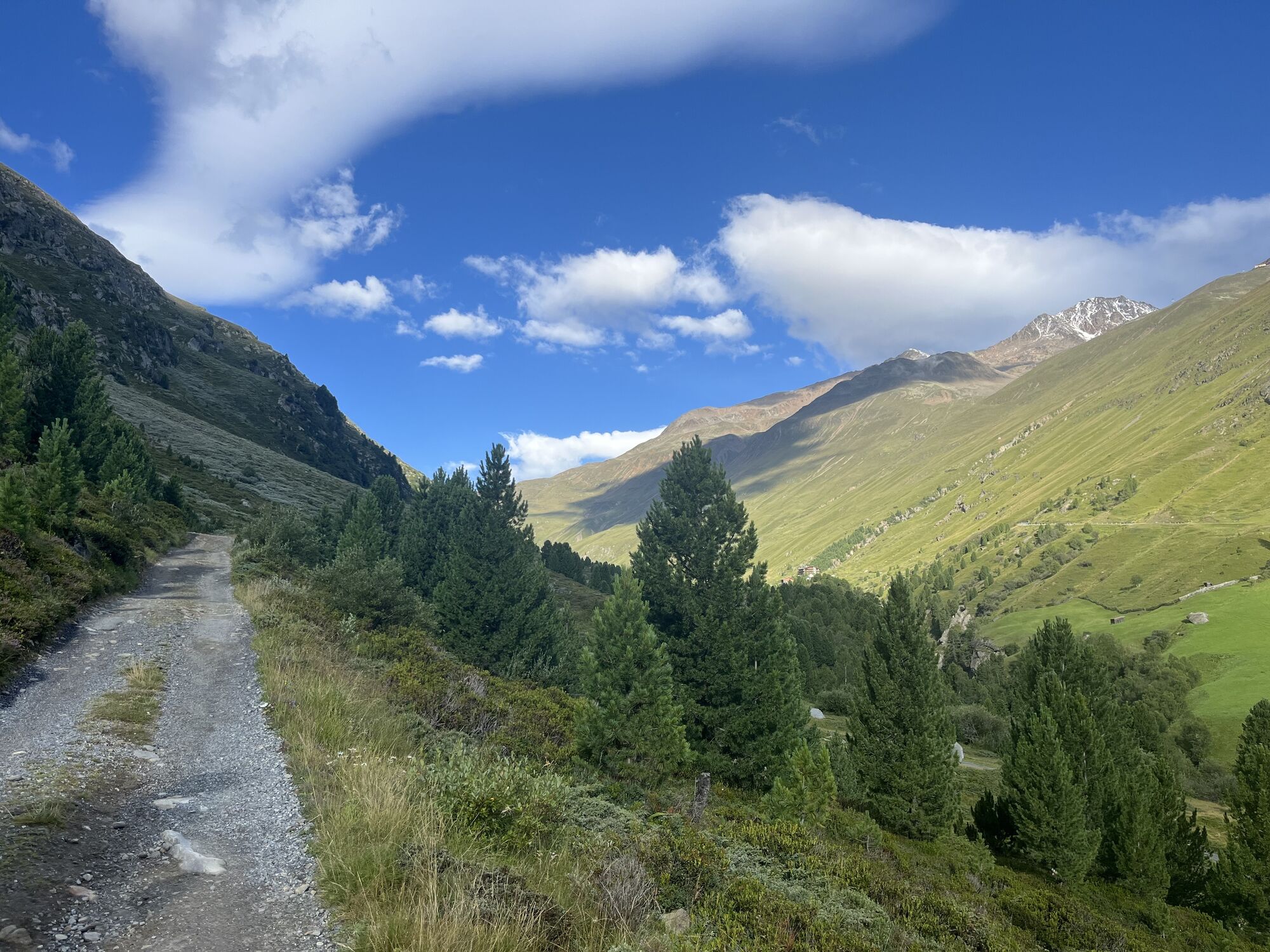
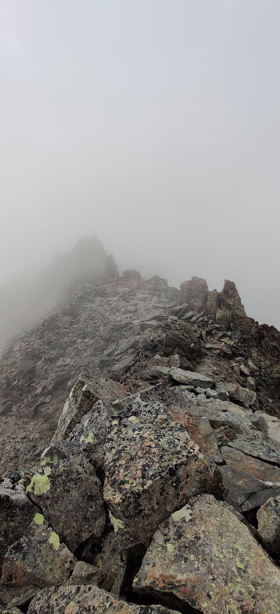
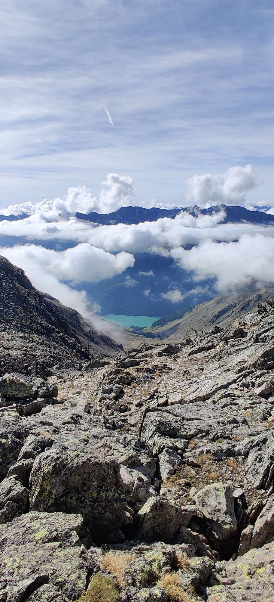
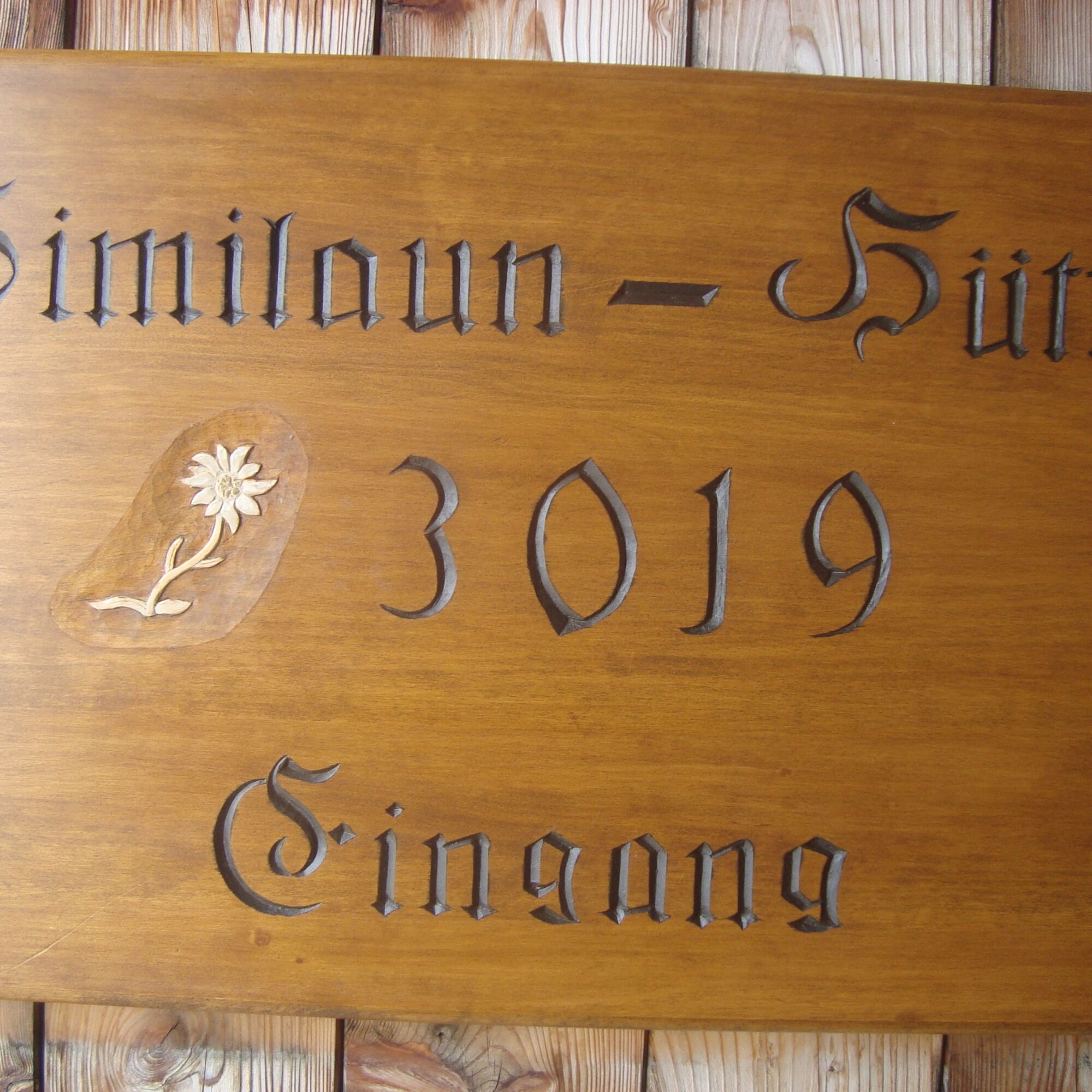
Vent-Martin Busch Hut (2,500 m)-Similaun Hut (3,019 m)-return to Martin Busch Hut overnight stay (walking time: approx. 4 1/2 h to Similaun Hut and approx. 1 1/2 h back to Martin Busch Hut)
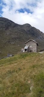
Martin Busch...
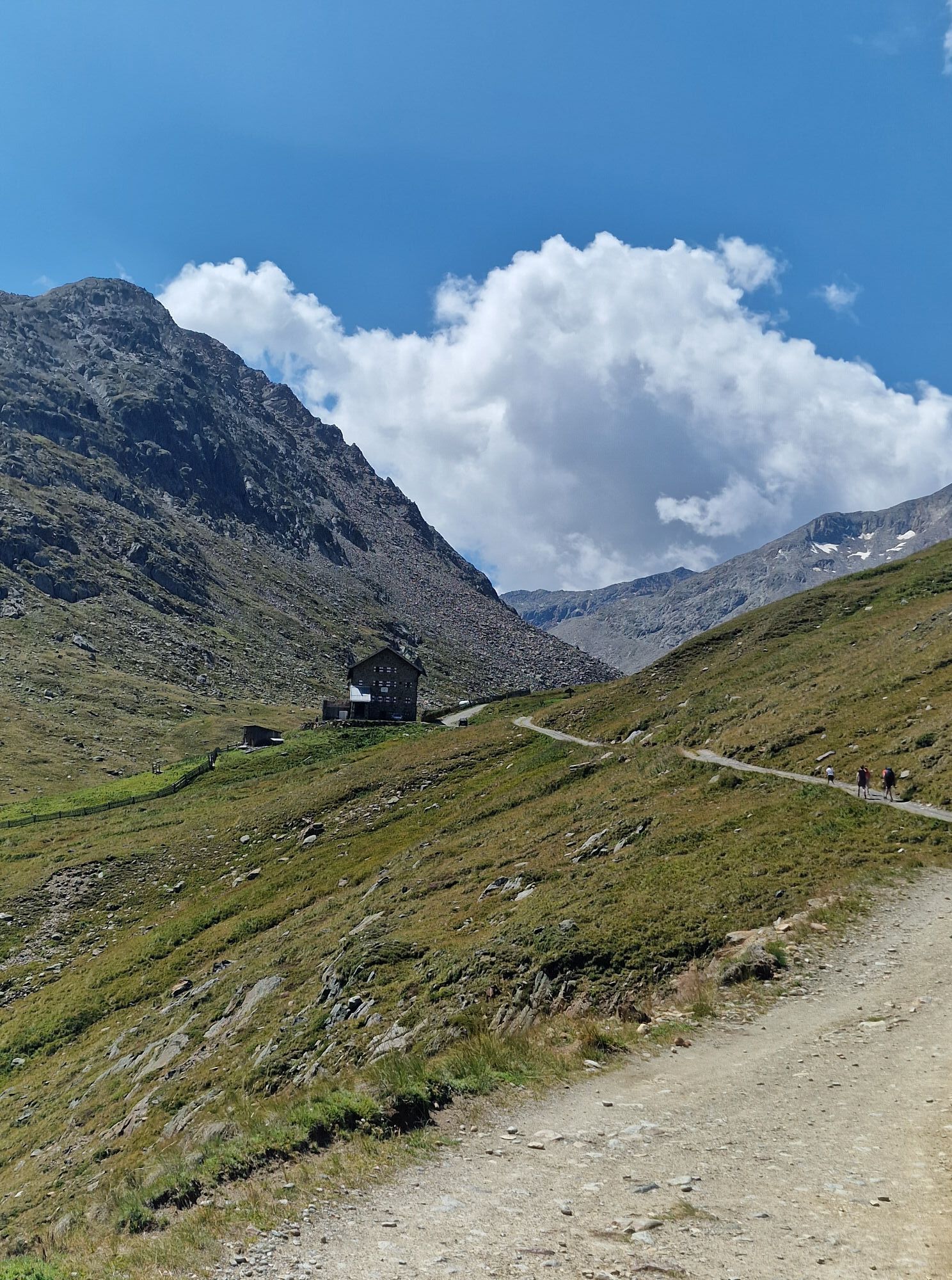
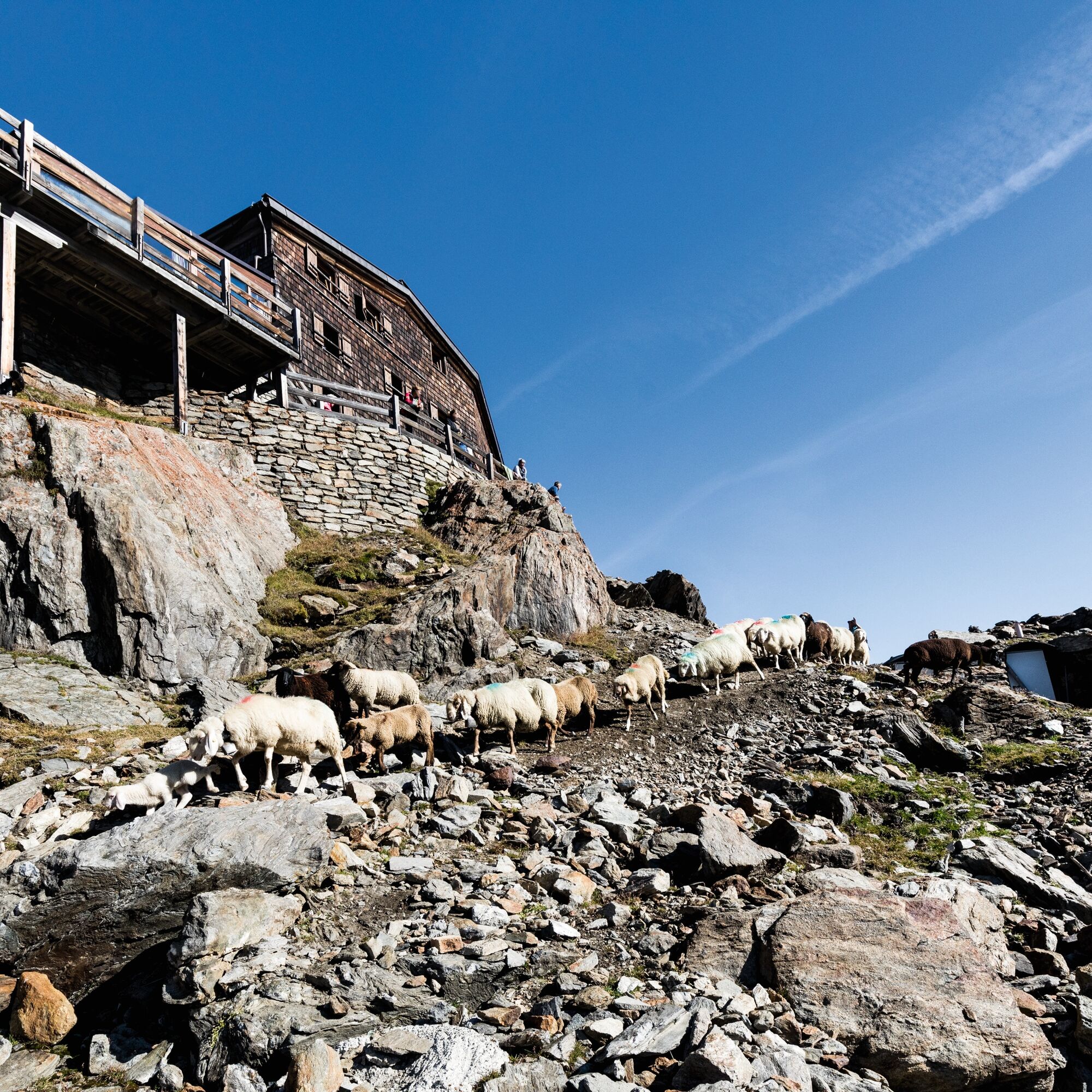
Vent-Martin Busch Hut (2,500 m)-Similaun Hut (3,019 m)-return to Martin Busch Hut overnight stay (walking time: approx. 4 1/2 h to Similaun Hut and approx. 1 1/2 h back to Martin Busch Hut)
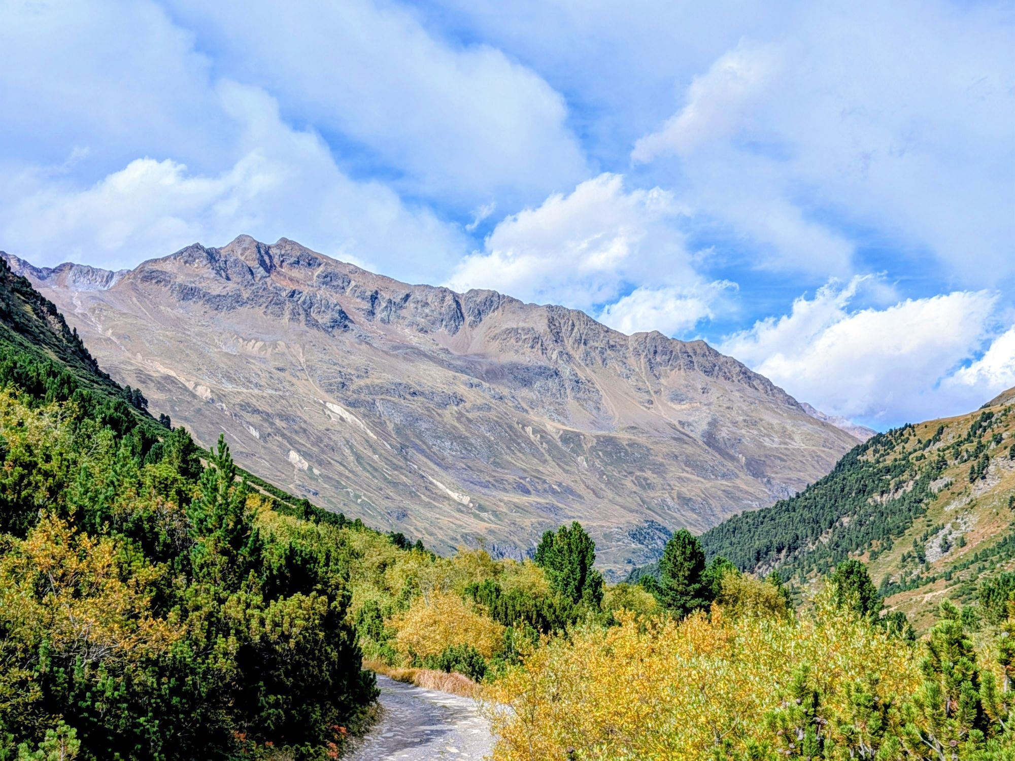
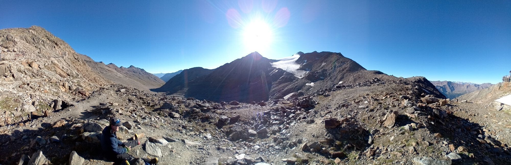
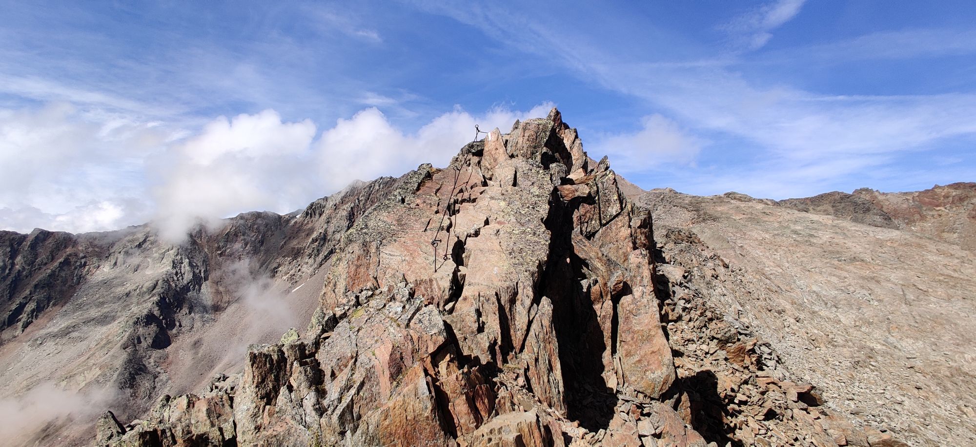
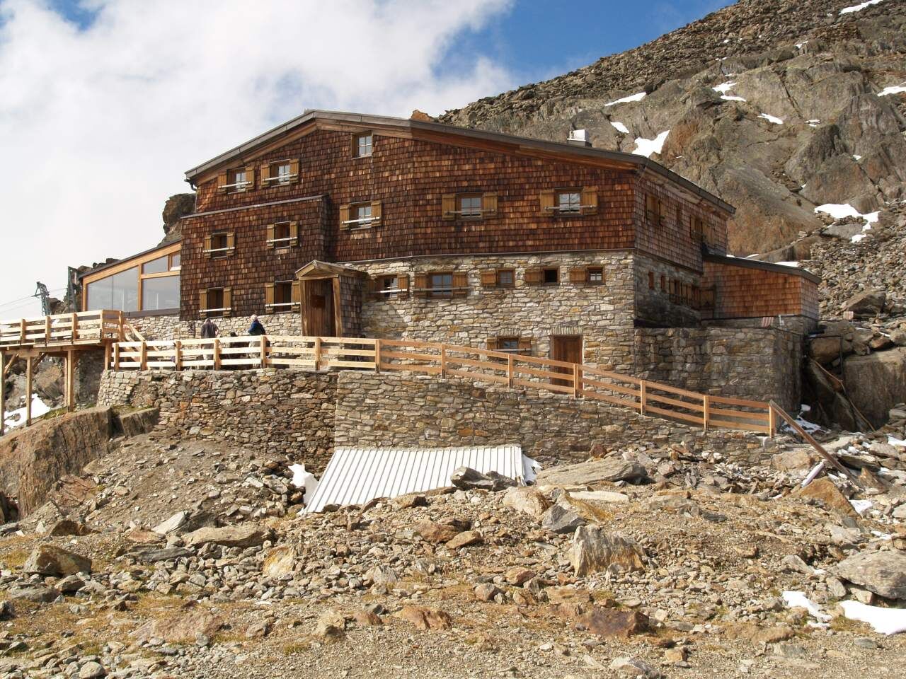
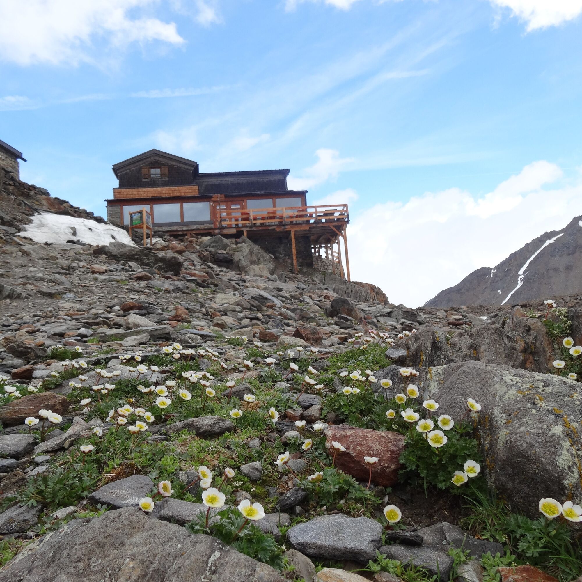
Martin Busch Hut: possibly ascent to Kreuzspitze 3,457 m 2 1/2 h
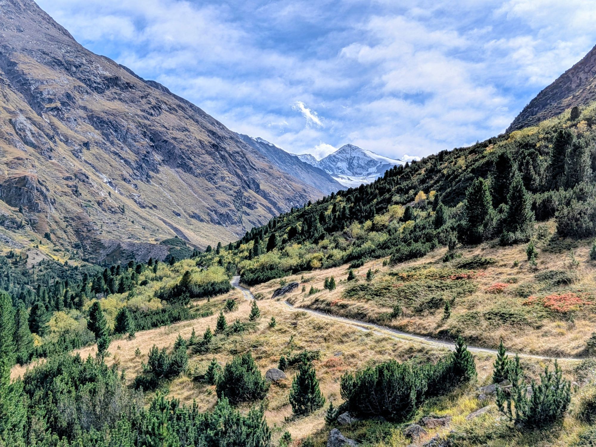
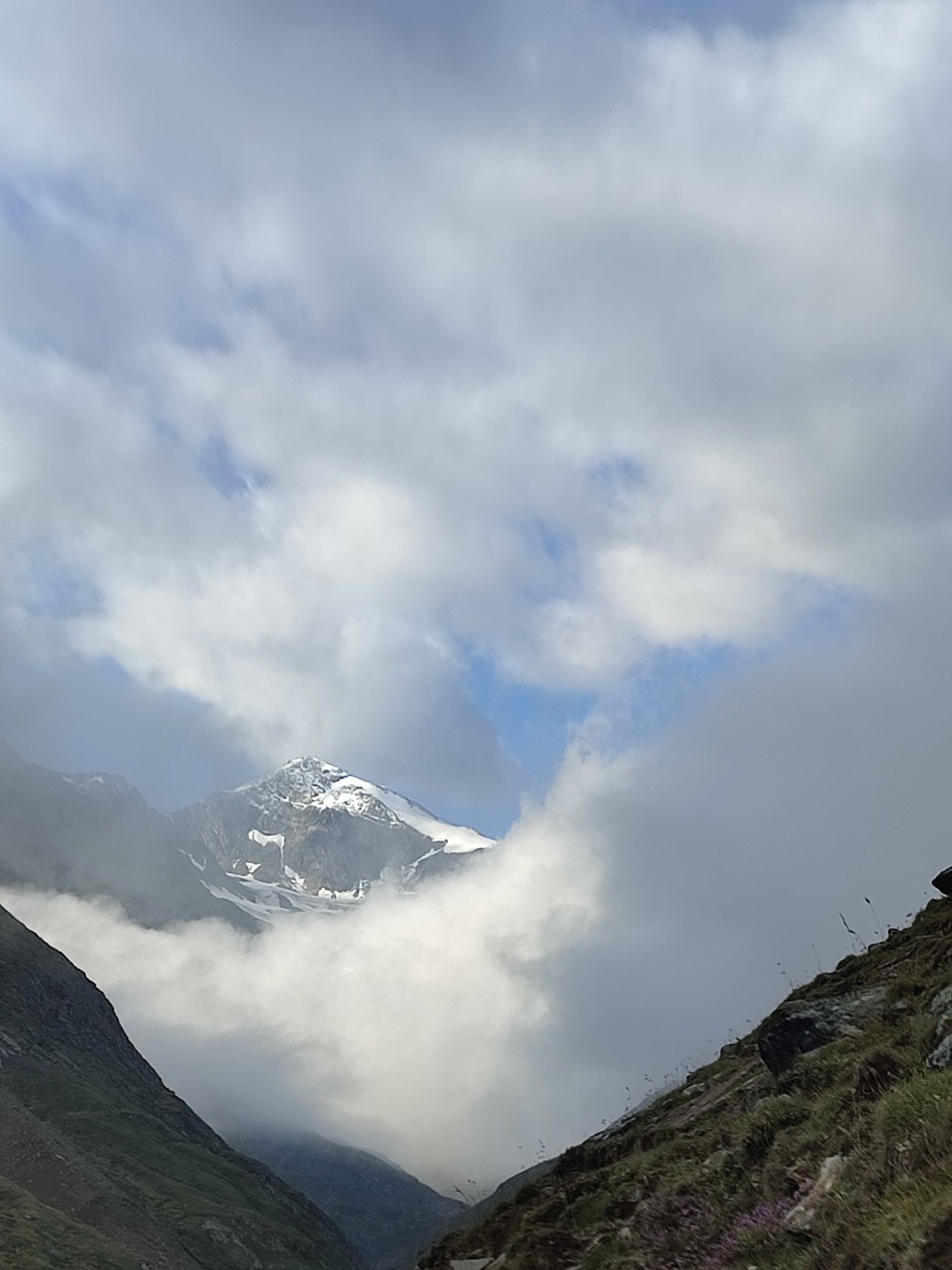
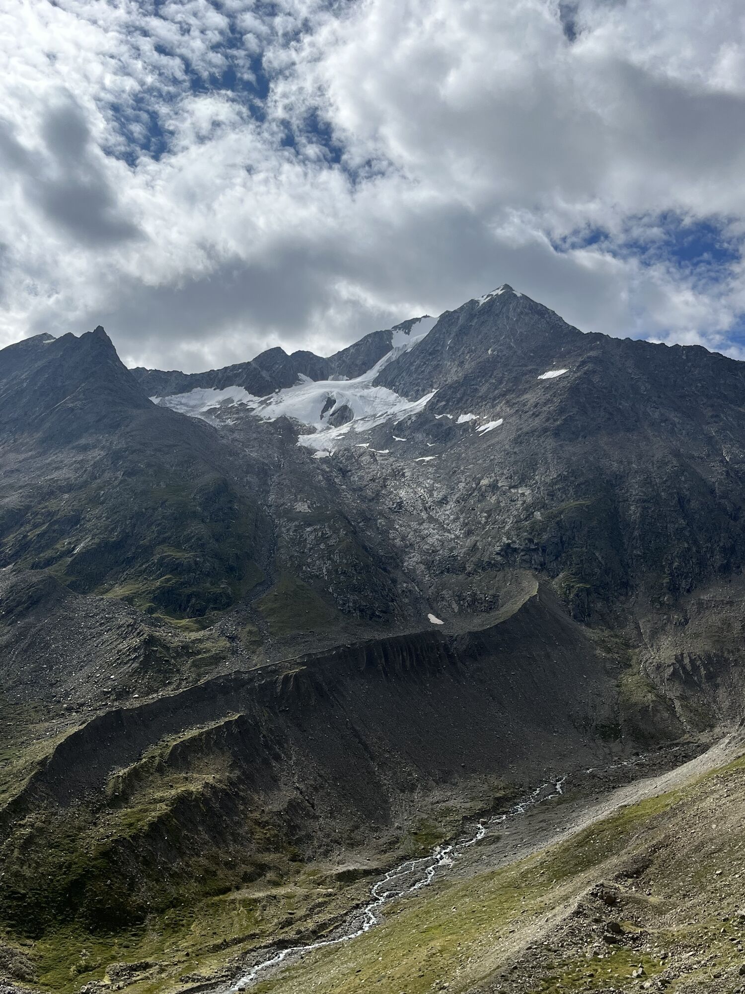
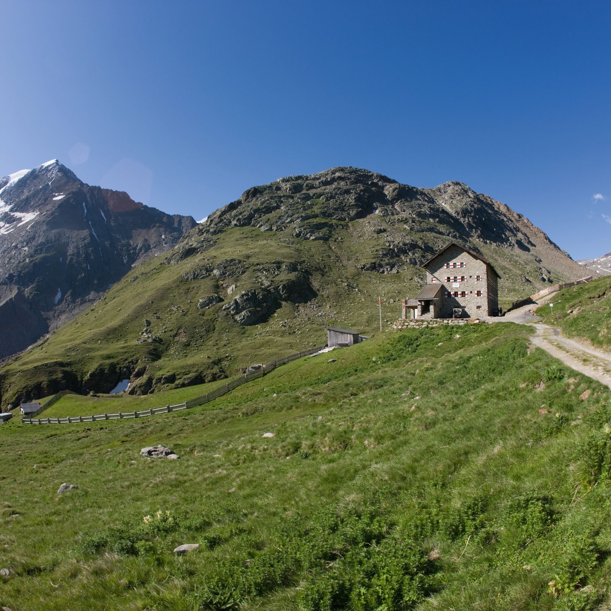
Similaun Hut: optionally visit the Ötzi find site 1 1/2 h, a secured and marked mountain trail leads to the find site

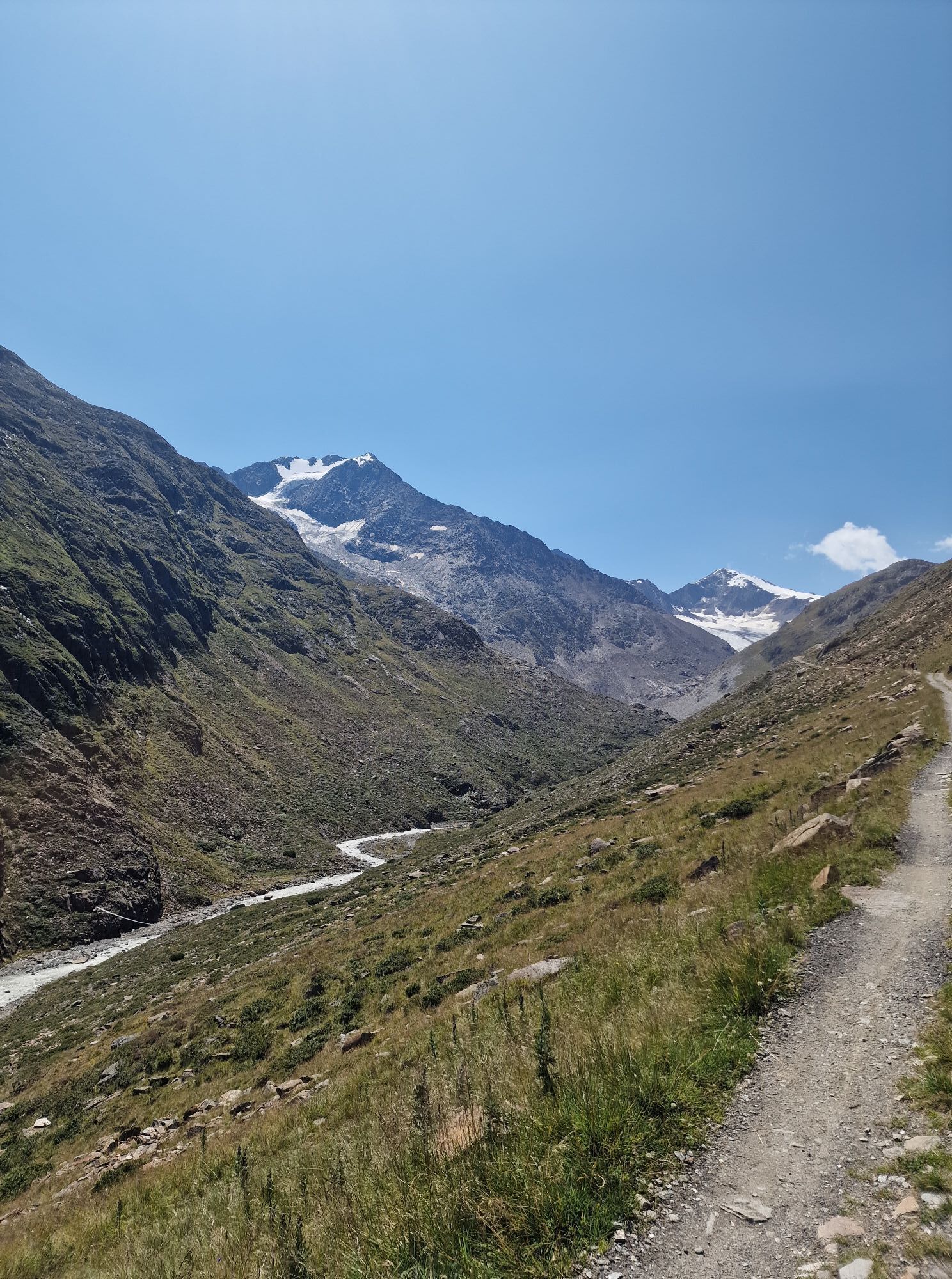
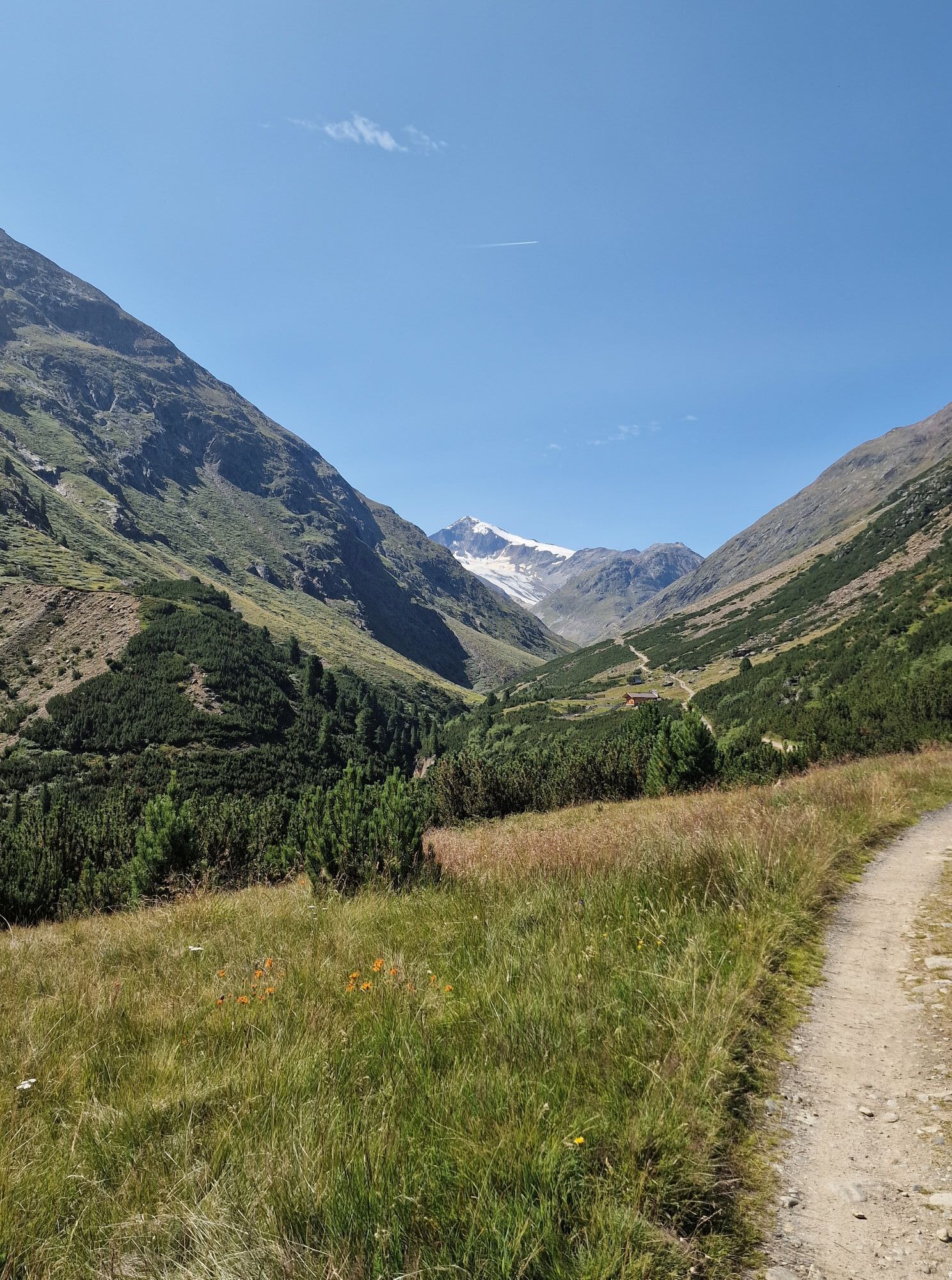
Vent-Martin Busch Hut (2,500 m)-Similaun Hut (3,019 m)-return to Martin Busch Hut overnight stay (walking time: approx. 4 1/2 h to Similaun Hut and approx. 1 1/2 h back to Martin Busch Hut)
Martin Busch Hut: possibly ascent to Kreuzspitze 3,457 m 2 1/2 h
Similaun Hut: optionally visit the Ötzi find site 1 1/2 h, a secured and marked mountain trail leads to the find site
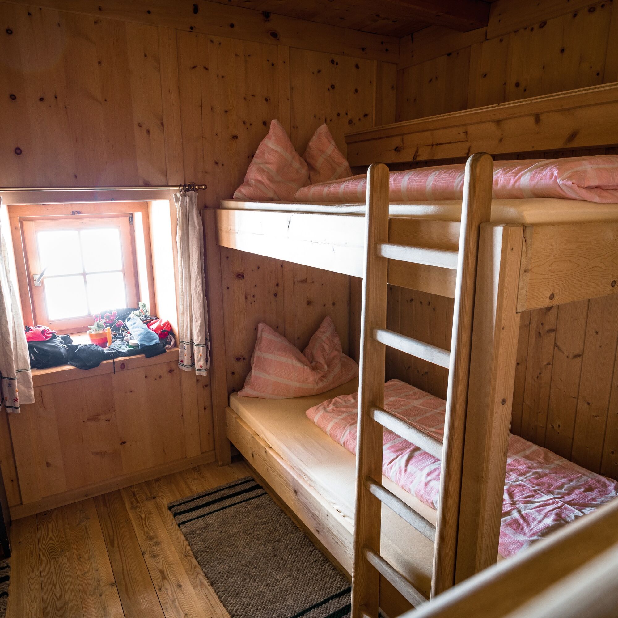
Wearing hiking equipment such as breathable and weather-appropriate outdoor clothing, ankle-high mountain boots, wind, rain and sun protection, a hat and possibly gloves is recommended! It is also important to bring sufficient provisions as well as a first aid kit, a mobile phone and possibly a hiking map.
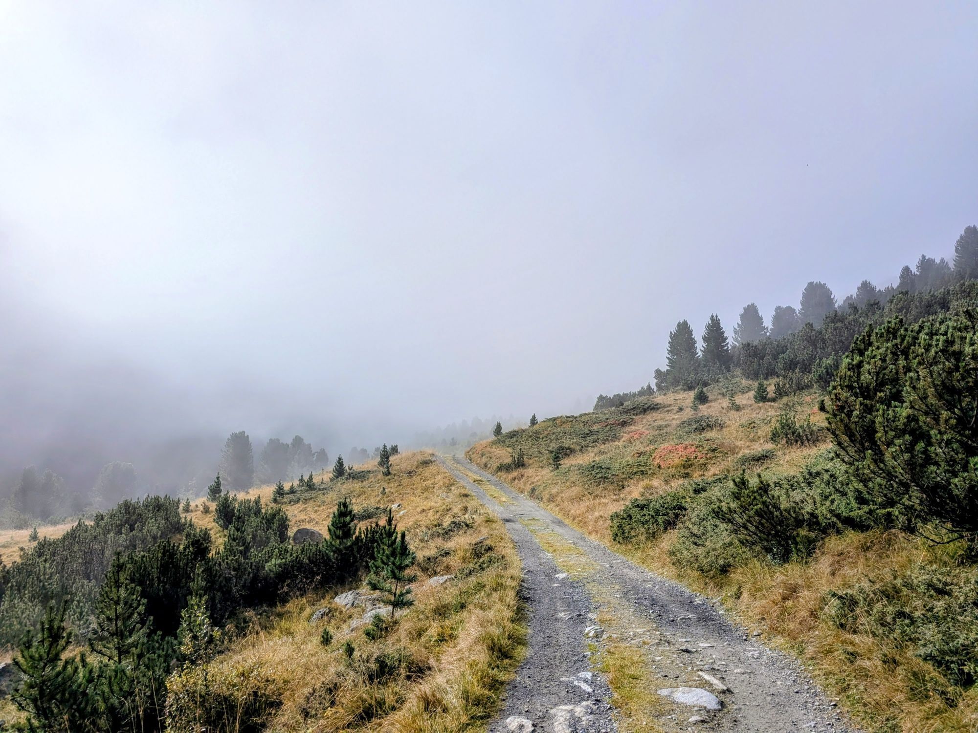
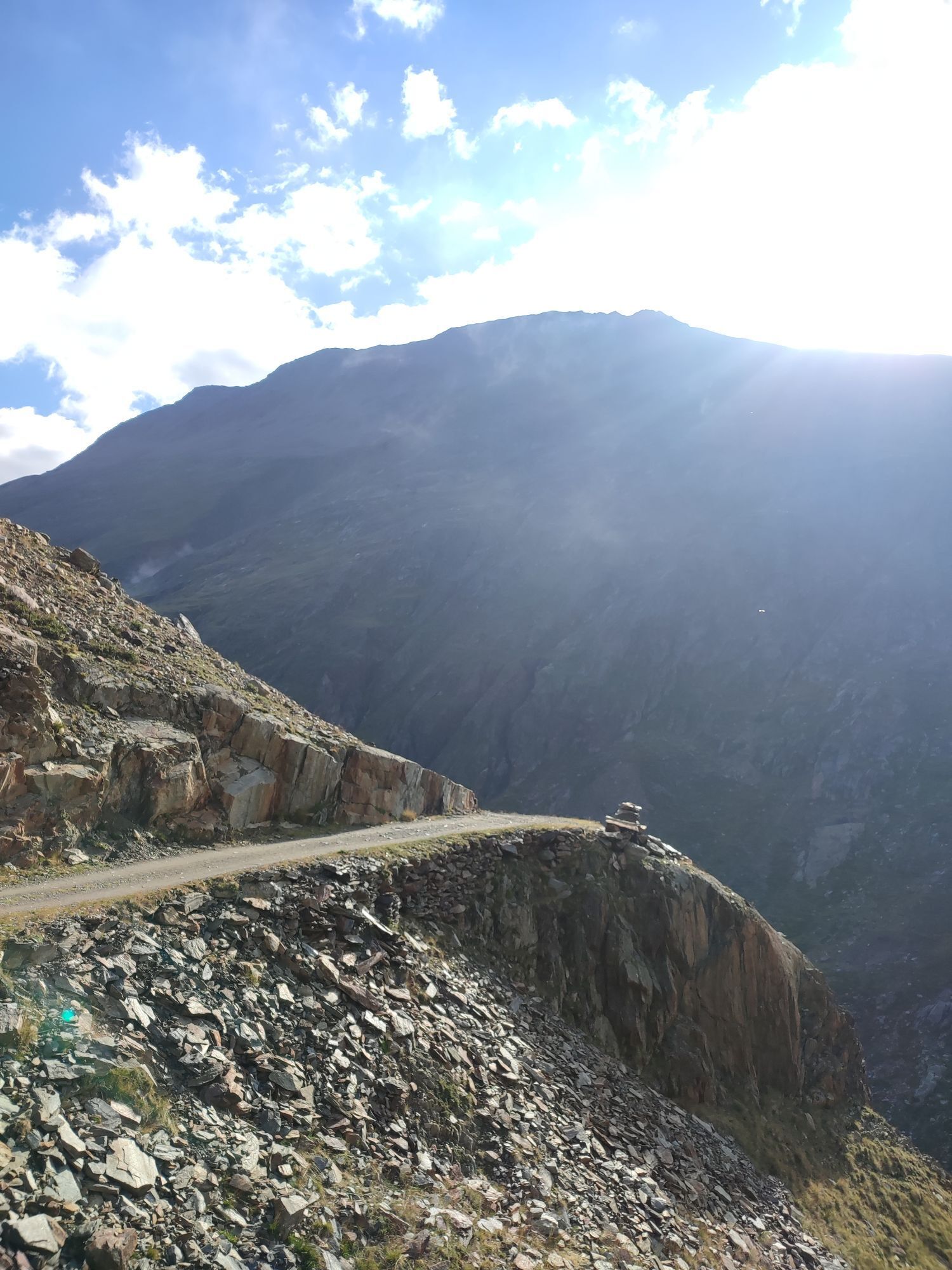
Moderate mountain path; suitable for sure-footed and experienced mountain hikers; good physical condition, mountain experience and mountain equipment (see under equipment) necessary. Please note the current weather report at: www.oetztal.com/en/summer.html
Vent is located in the west of Austria in the state of TIROL, in a southern side valley of the Inntal - the ÖTZTAL. For your arrival by car, plan the optimal travel route from your home location with the route planner online at: https://www.google.at/maps
Travel comfortably and safely by train to the Ötztal train station. The final stop or exit point is the ÖTZTAL station. Afterwards, you can travel conveniently and quickly by public transport or local taxi companies throughout the entire valley to your desired destination! The current bus timetable is available at: http://fahrplan.vvt.at
At the entrance to the village (summer only)
At the valley station of the Wildspitze double chairlift (DSB Wildspitze)
At the Mountaineers’ Chapel
Further information can be found here:
https://www.oetztal.com/en/regions-villages/parking
More info about hiking in the Ötztal: https://www.oetztal.com/wandern
Aktivity počas prehliadky
-

Vent, Tirol/Österreich
11.06.2026 – Turistika -

Vent, Tirol/Österreich
16.05.2026 – Turistika -

Vent, Tirol/Österreich
29.03.2026 – Turistika -

Abfahrt von der Martin Busch Hütte nach Vent
15.03.2026 – Skitour -
Aufstieg Martin-Busch Hütte mit Paddi und Stefan
13.03.2026 – Skitour -

Sölden, Tirol/Österreich
22.09.2025 – Horská turistika -
Vent, Tirol/Österreich
19.09.2025 – Vysoké turné -
Sölden, Tirol/Österreich
10.09.2025 – Turistika -
Tag 5 Vent zur Martin Busch
05.09.2025 – Turistika -
Tag 5 Vent zur Martin Busch
05.09.2025 – Turistika -
Vent, Tyrol/Austria
26.08.2025 – Turistika -
Vent, Tirol/Österreich
24.08.2025 – Turistika -


Vent, Tirol/Österreich
07.08.2025 – Turistika -

Vent Martin-Busch-Hütte
02.08.2025 – Turistika -
250729_Mina Martin Busch Haus/Vent, Tirol
29.07.2025 – Vysoké turné -

Sölden, Tirol/Österreich
18.07.2025 – Turistika -

Vent-Similaunhütte
13.07.2021 – Turistika
Obľúbené výlety v okolí
-
4,2
Vorderkaser - Eishof / Texelgruppe
svetloTuristika 4,83 km -
4,8
Vent - Kreuzspitze
Turistika 20,6 km -
4,4
Hochtour Wildspitze, 3.768m
strednáVysoké turné 9,75 km -
4,3
Rundweg Vernagter See plus Einkehr Finailhof
strednáTuristika 8,73 km -
4,1
Vernagt-Stausee (Seerundgang)
svetloTuristika 6,70 km -
4,9
Pfossental - vom Vorderkaser auf die Stettinerhütte
strednáTuristika 23,7 km -
3,1
Tiefenbachglacier - Mountaineering Village Vent
strednáTuristika 10,8 km -
4,5
Vent - Wilder Mann - Breslauer Hütte - Stableinalm
strednáTuristika 7,25 km -
5,0
Kurzras - Schöne Aussicht - ins hintere Eis
strednáTuristika 13,0 km -
4,4
Hochwilde - Pfelders
strednáVysoké turné 22,1 km
Turistika a stopovanie


Nenechajte si ujsť ponuky a inšpiráciu na ďalšiu dovolenku
Vaša e-mailová adresa bol pridaný do poštového zoznamu.