


Glacier tour to the Rofenkarferner


The Rofenkarferner is an impressive glacier area near the mountain cable car area in Vent and, due to its easy accessibility, a popular destination for novice alpinists to gain initial glacier experience....
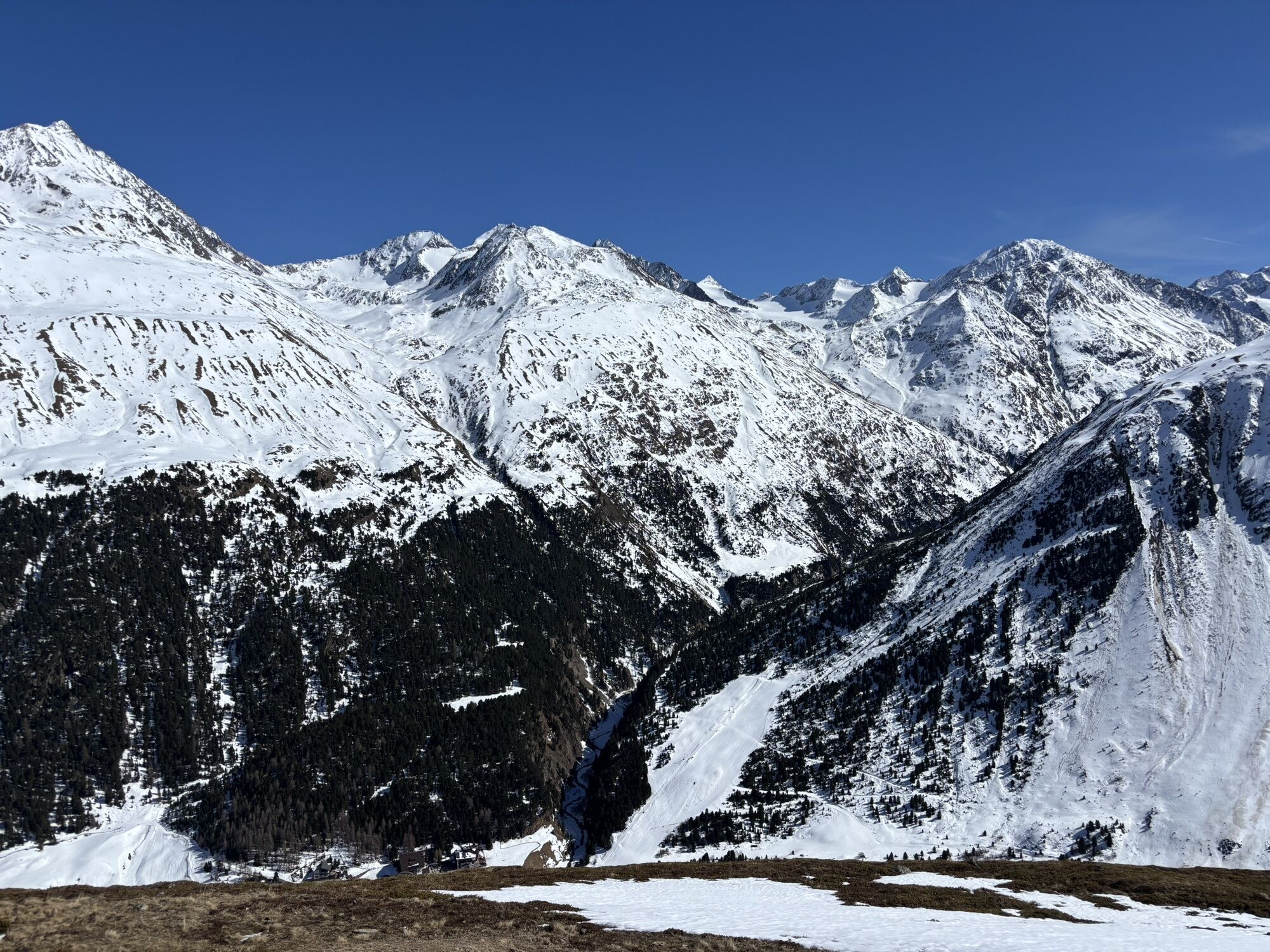
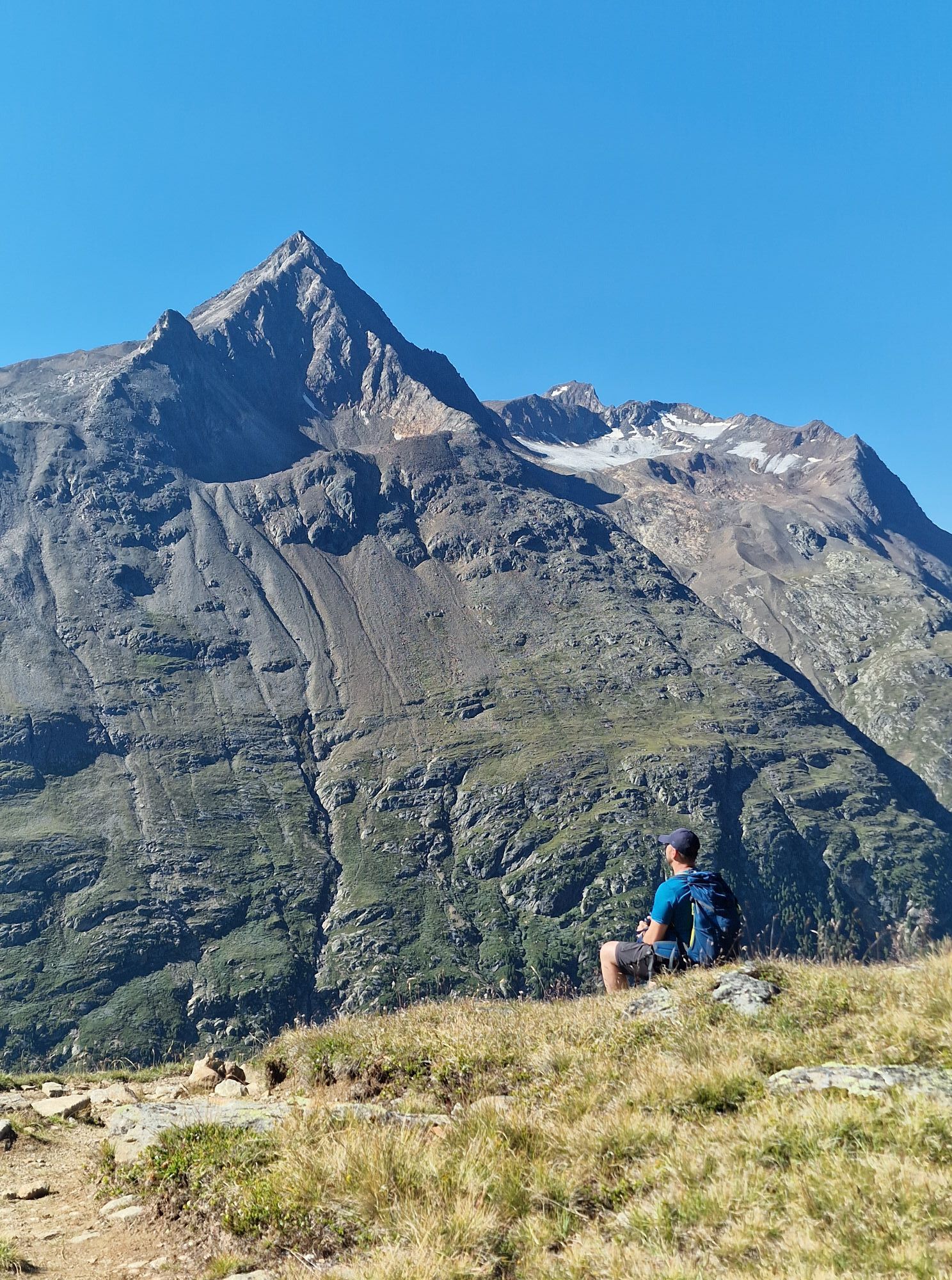
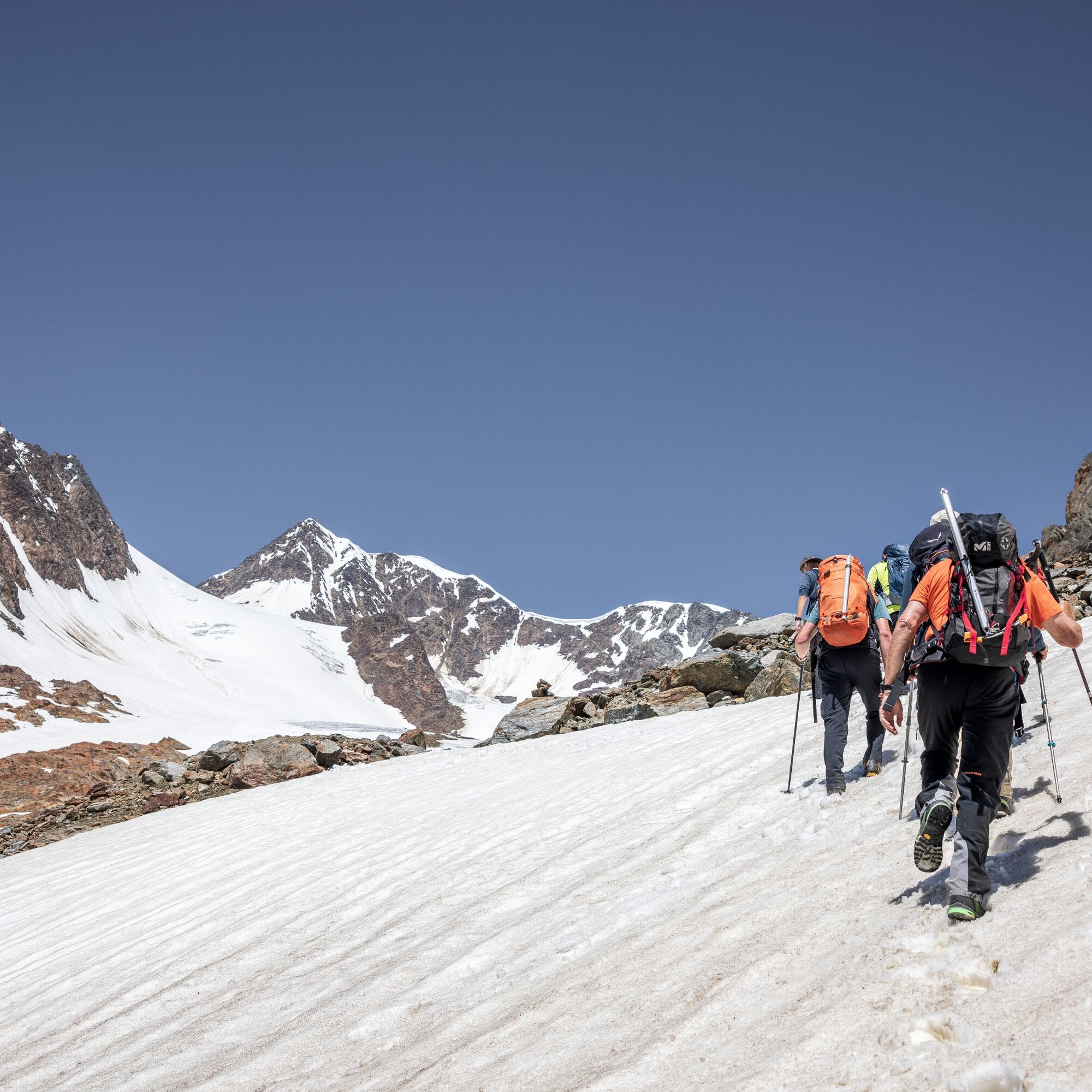
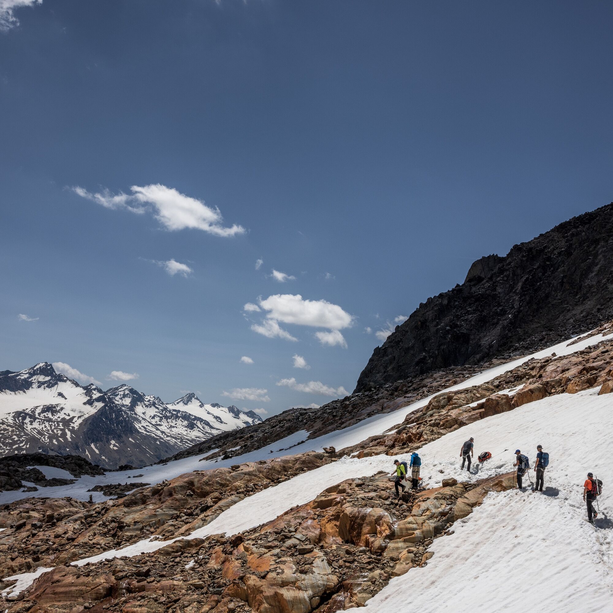
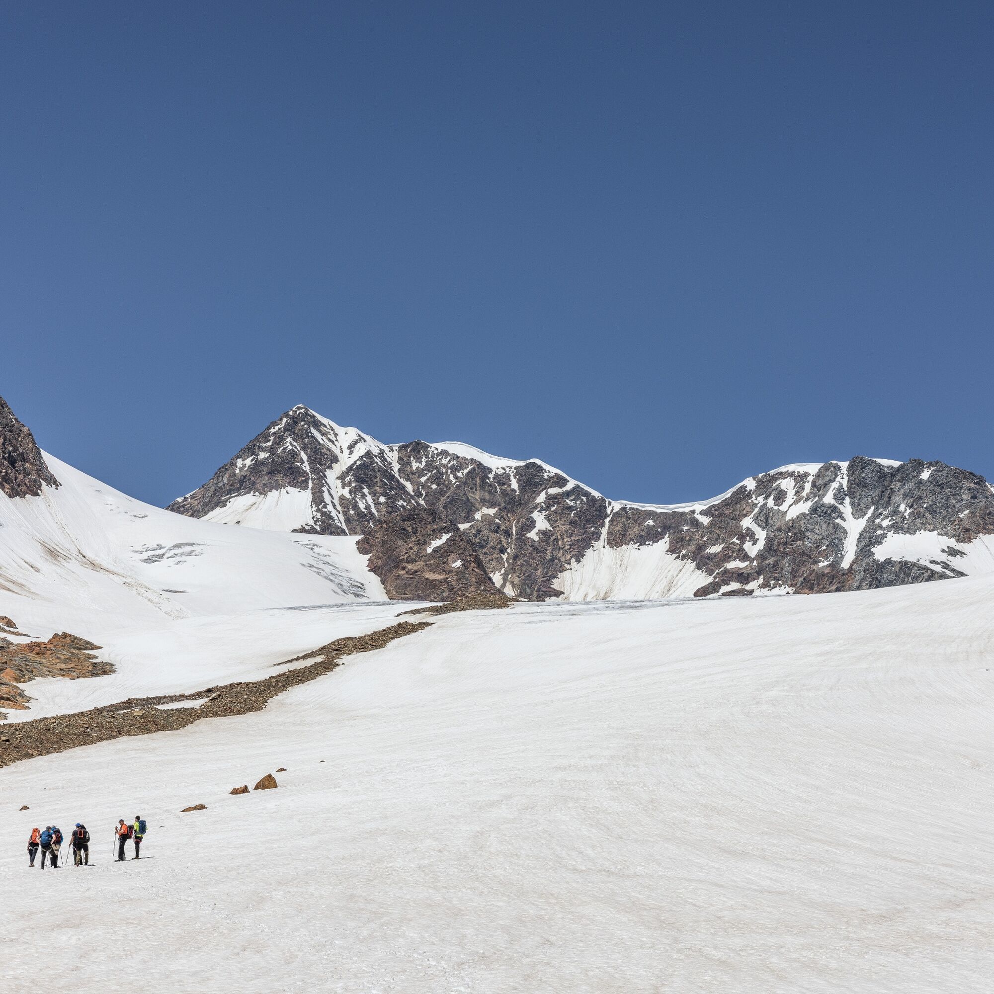
The Rofenkarferner is an impressive glacier area near the mountain cable car area in Vent and, due to its easy accessibility, a popular destination for novice alpinists to gain initial glacier experience. This is, of course, done in a group accompanied by a mountain guide and with appropriate equipment.
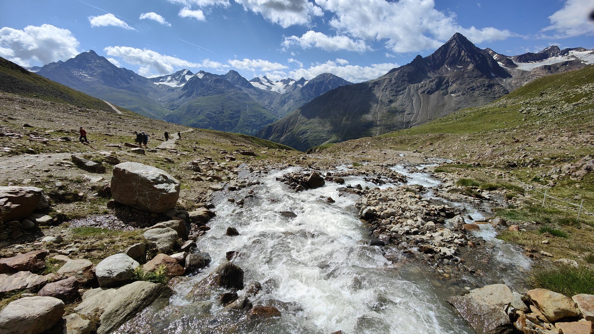
Although the route to the Rofenkarferner mainly serves training purposes, it offers a fascinating opportunity to experience the majestic beauty of the alpine landscape and explore the impressive nature of this area. The route is well marked but still demanding. Therefore, a certain level of fitness as well as alpine experience are required.

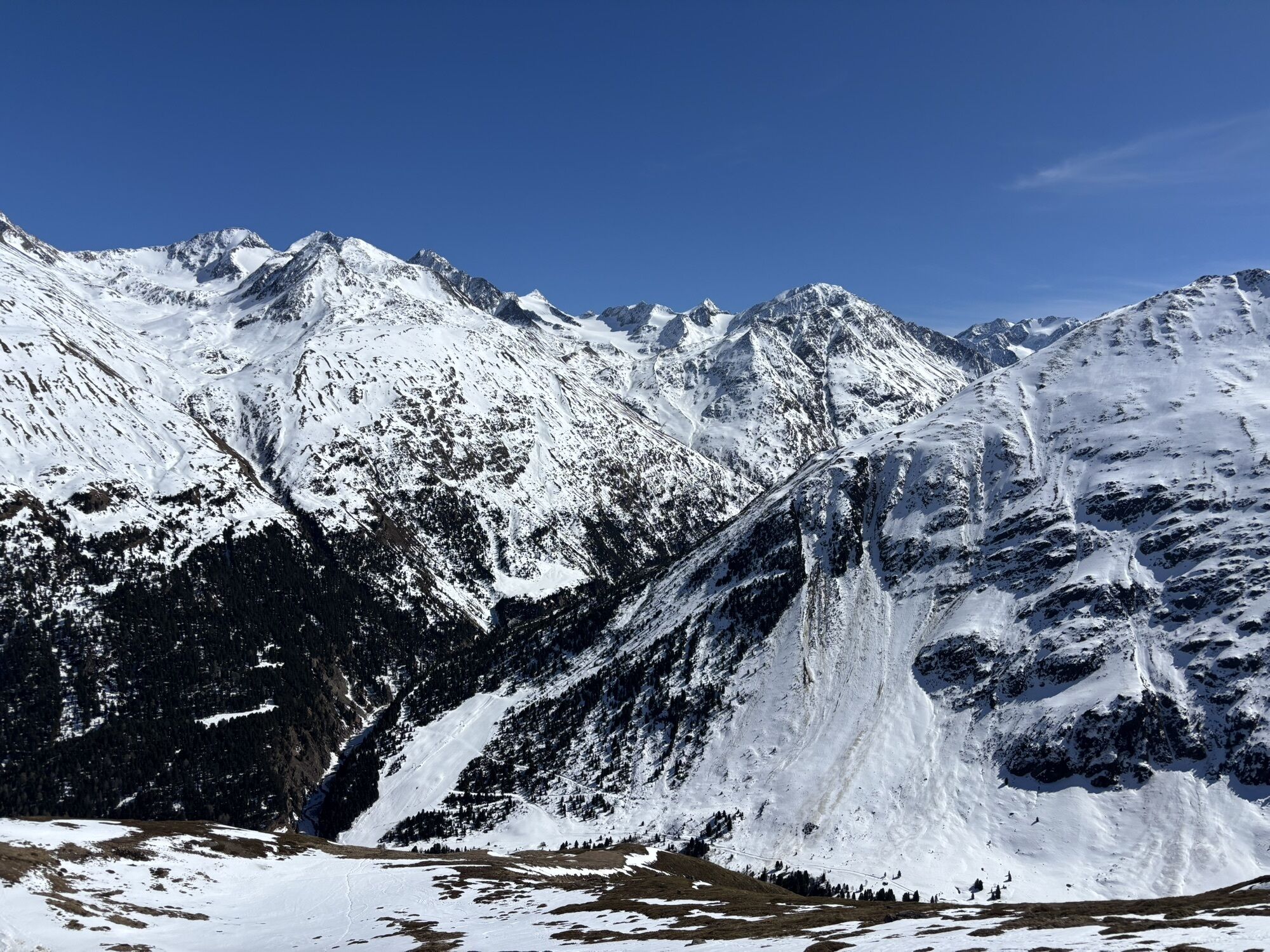
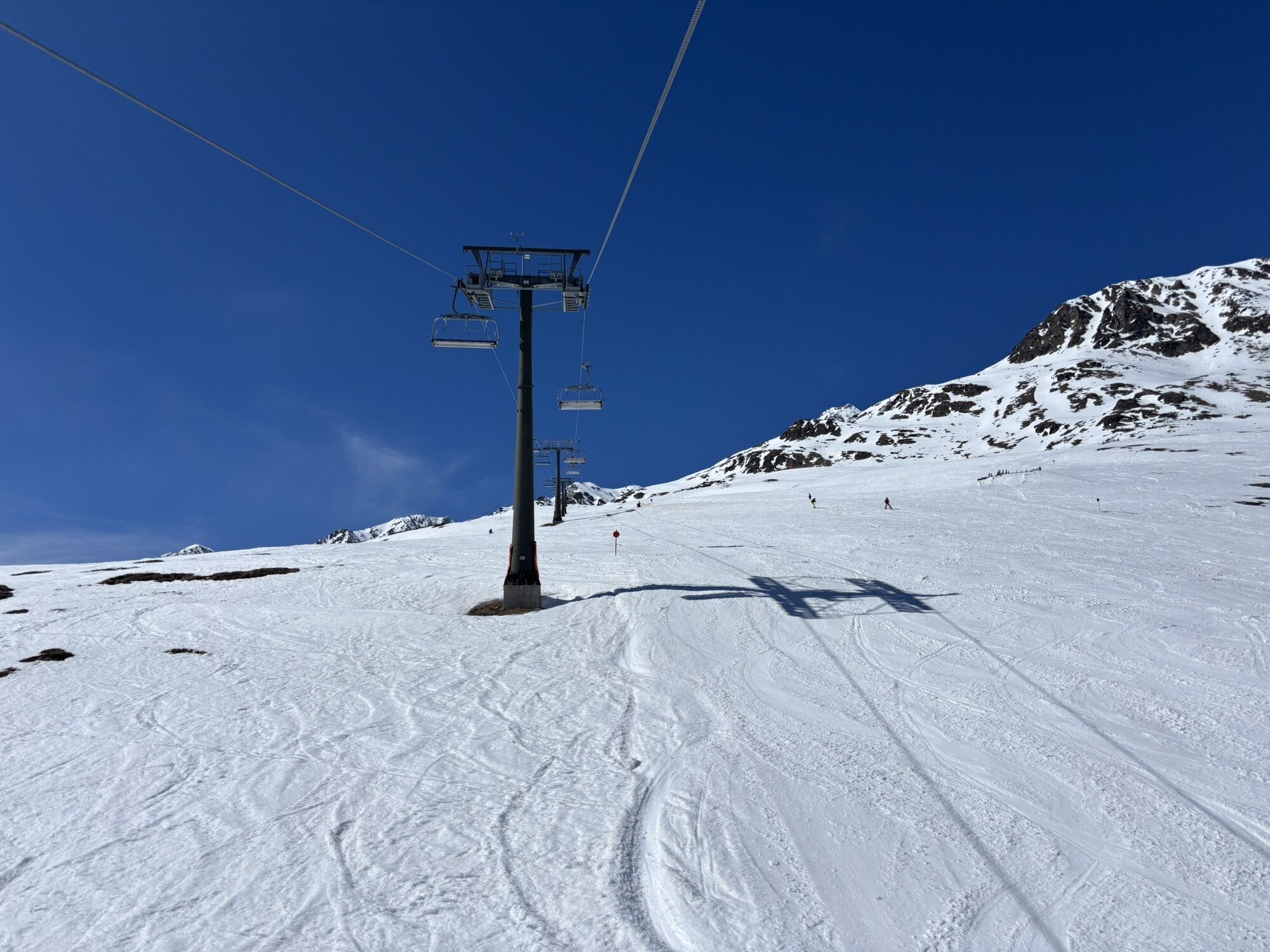
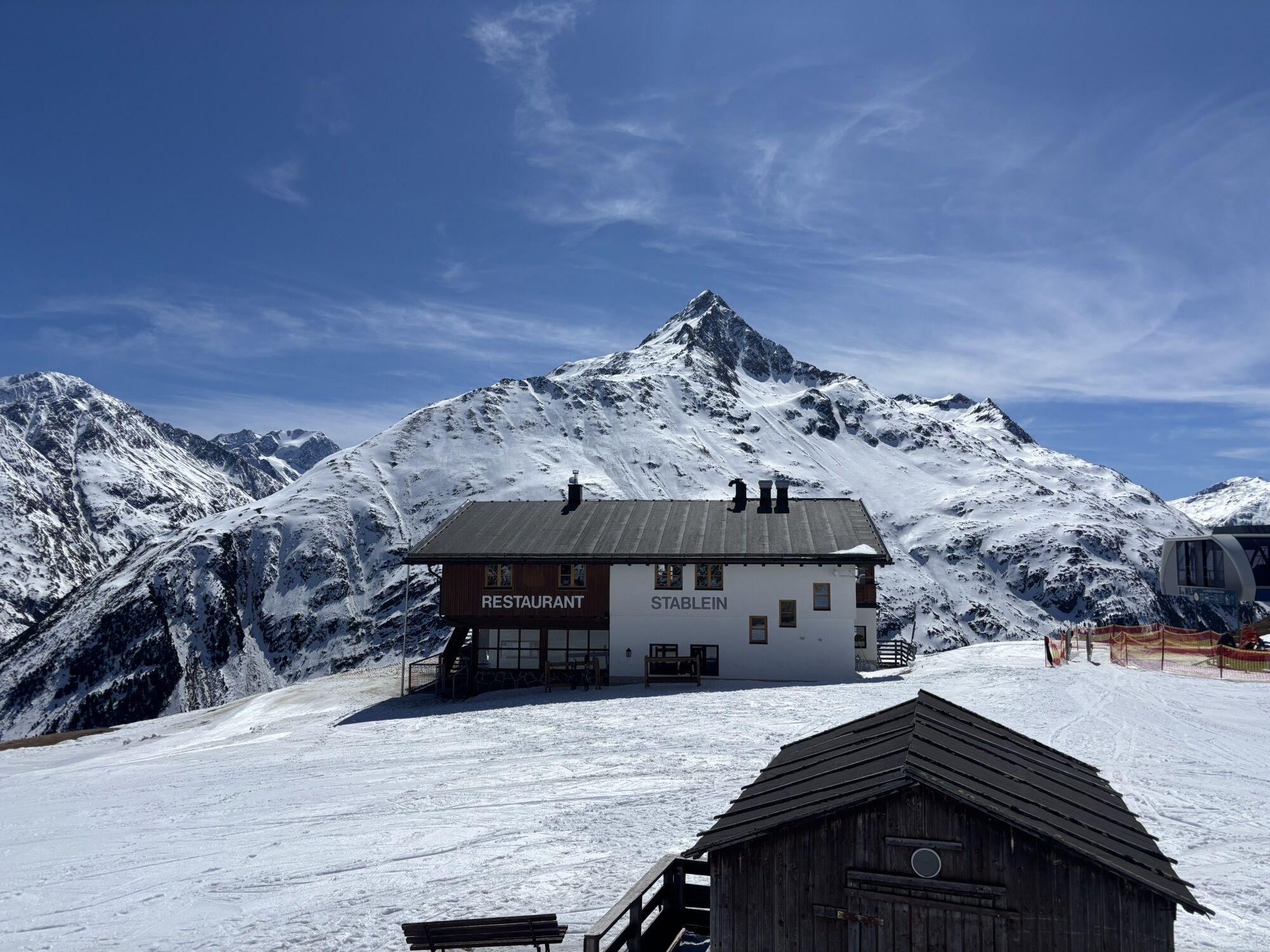
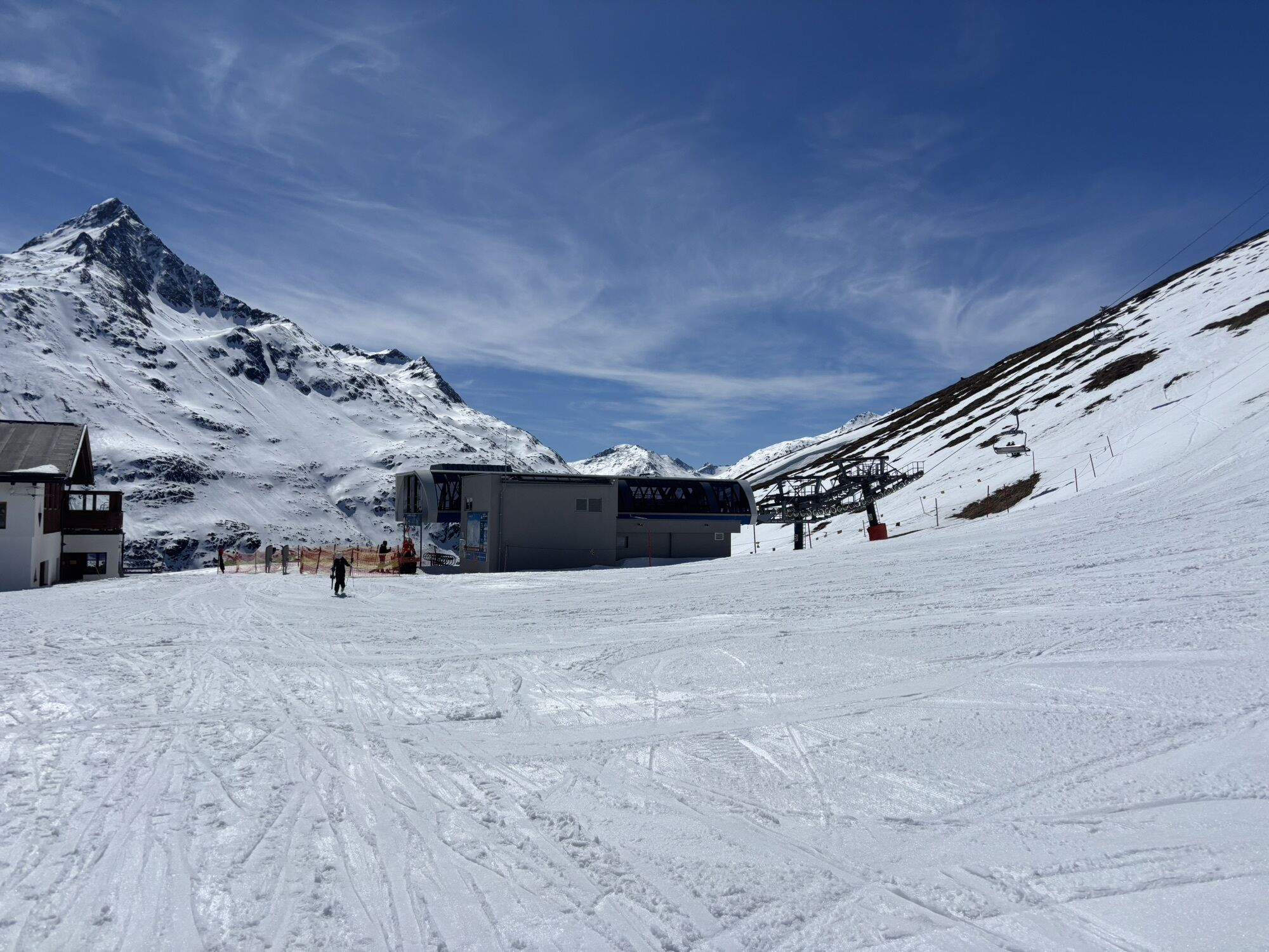
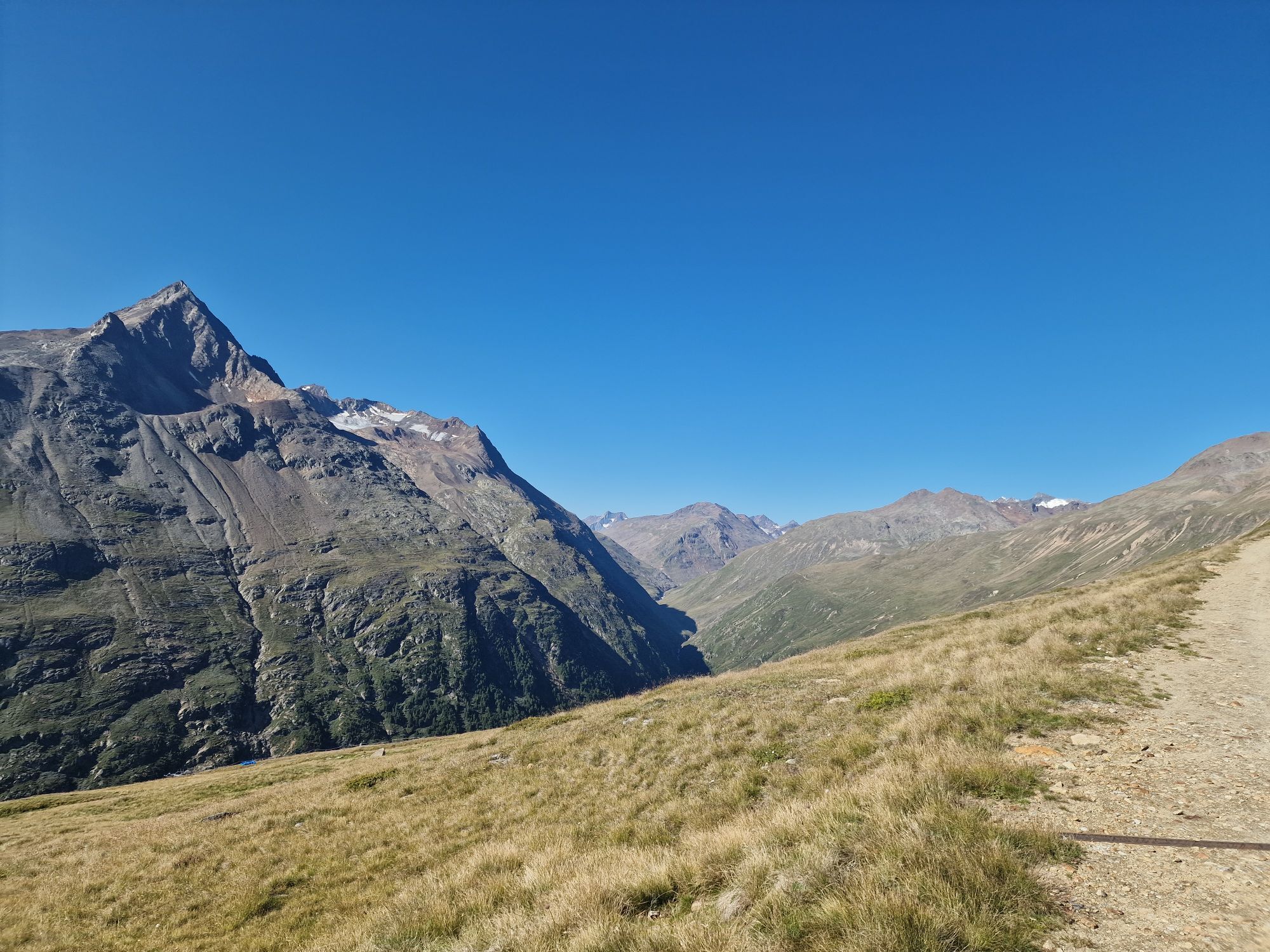
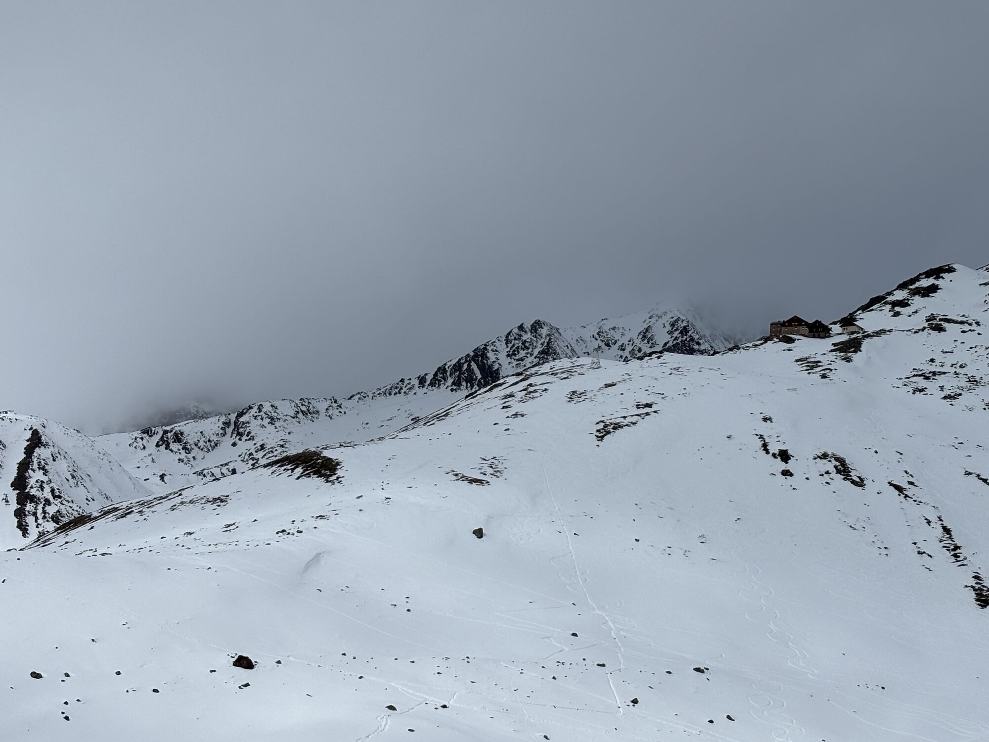
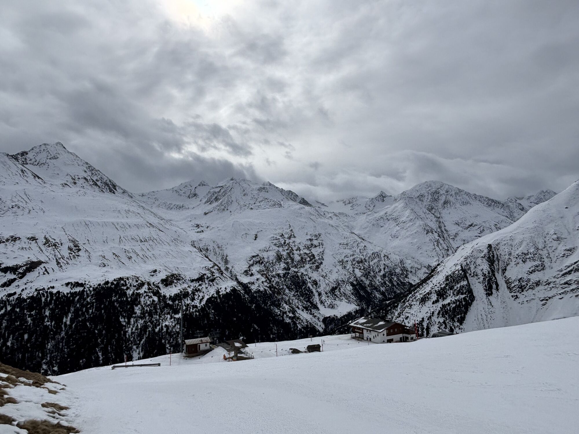
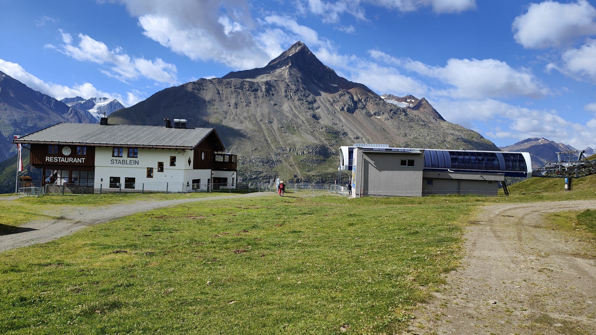
From Vent, take the Wildspitze double chairlift to Stableinalm (2,354 m). From there, proceed briefly on a wide path and then on a well-developed hiking trail to the Breslauer Hütte (2,844 m); walking time: approx. 1 ½ hours.
At the Breslauer Hütte, continue to the right until after about 10 minutes you reach the junction to the Rofenkarferner. Here keep left and ascend for another hour somewhat steeper on a boardwalk up to the widely crevassed glacier tongue; walking time: approx. 1 ¼ hours.
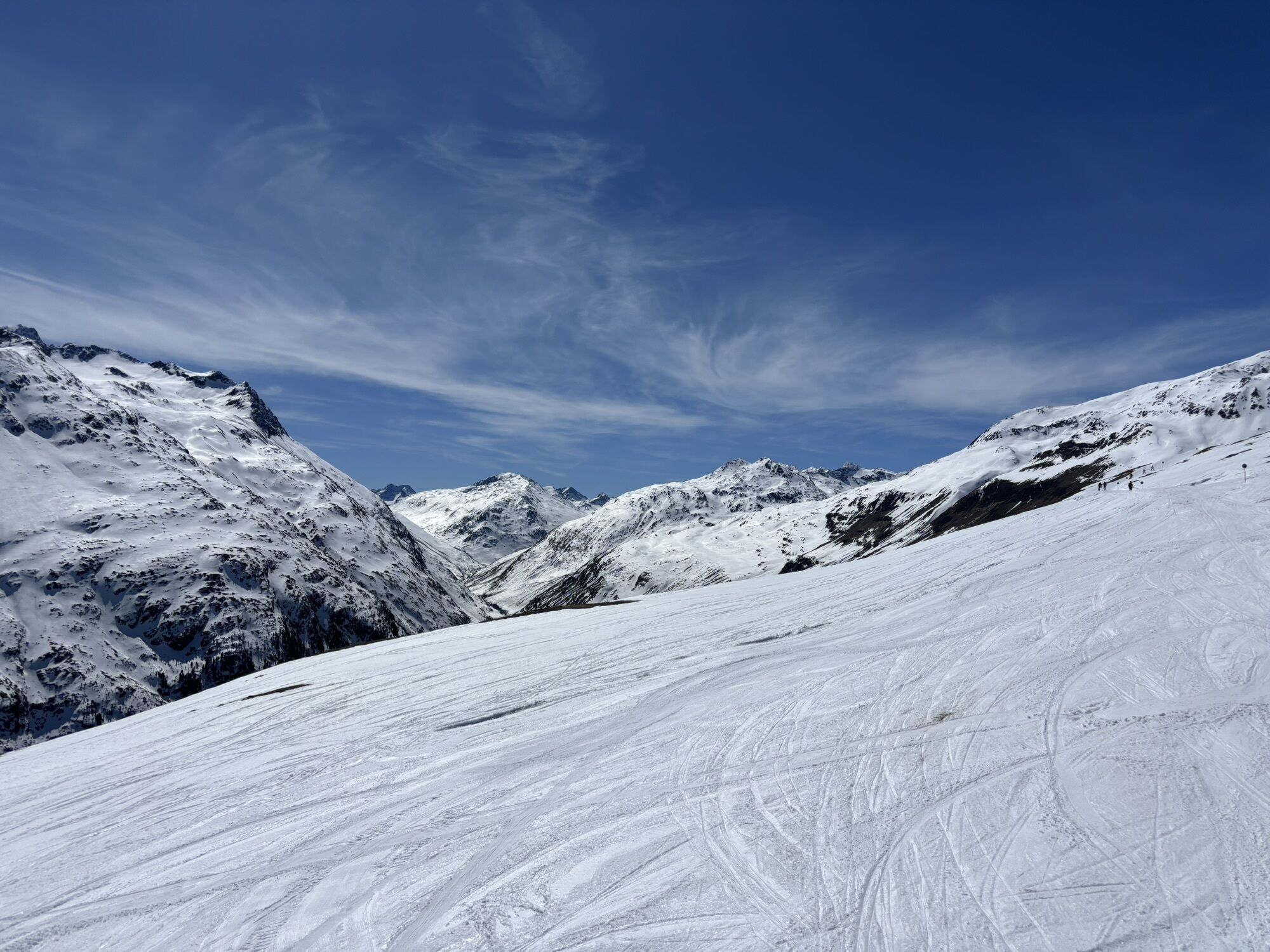
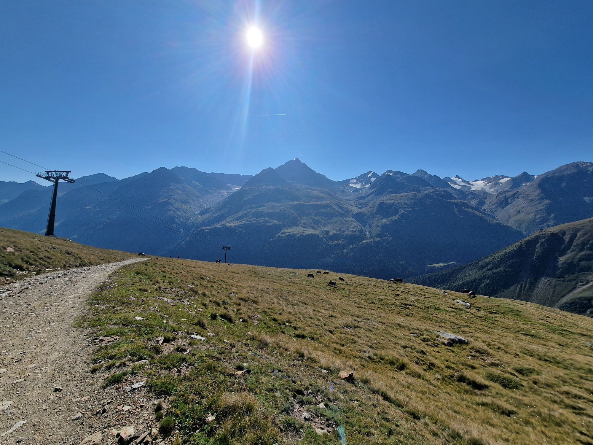
For those who want to explore the Rofenkarferner further or gain first experiences with glacier travel, there is the option to follow the established path across the glacier (only with glacier equipment, mountain guide recommended!).
Appropriate equipment such as breathable and weather-appropriate outdoor clothing, ankle-high mountain boots, wind, rain, and sun protection, a hat, and possibly gloves is required for all hikes and routes. Glacier tours require glacier equipment (crampons, ice axe, etc.). Carrying a first aid kit, a mobile phone, and possibly a hiking map, as well as sufficient provisions for hikes without catering options, is necessary.
For climbers without fear of heights, sure-footed, and with high alpine experience; excellent physical condition, extensive mountain experience, alpine climbing equipment, securing and orientation tools, and good weather conditions are recommended. Please note the current weather report at: https://www.oetztal.com/de/sommer.html
The car journey to the ÖTZTAL.
Located in Tyrol, the ÖTZTAL branches off to the south as the longest side valley of the Eastern Alps. Traveling by car leads tourists via the Inn Valley to the valley entrance and further along the Ötztal. In addition to the toll motorway, country roads can also be used.
Your route can be quickly and conveniently planned with the route planner: To the route planner: https://www.google.at/maps
Travel comfortably and safely by train to the Ötztal train station. The final stop or exit point is the ÖTZTAL station. Then you can travel conveniently and quickly through the entire valley to your desired destination by public transport or local taxi companies.
The current bus schedule is available at: http://fahrplan.vvt.at
More information about hiking in the Ötztal: www.oetztal.com/wandern
Summit route to the Wilden Mannle
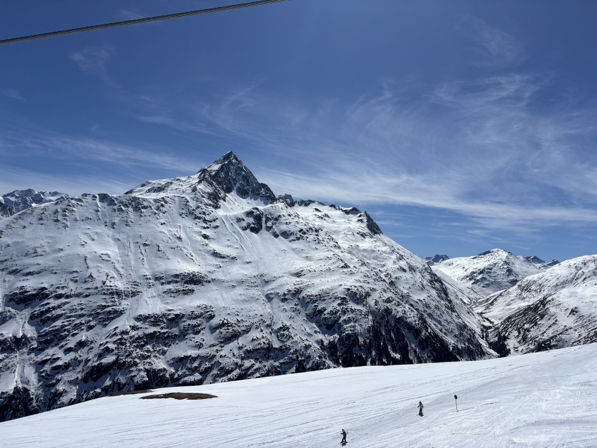
On the way, a route to the scenic Wilden Mannle (3,019 m, secured with a rope) is recommended. The summit can be reached on the return journey from the Rofenkarferner via the Rofenkarsteig (easy climbing sections); walking time approx. 1 ½ hours.


Obľúbené výlety v okolí
-
4,3
Vorderkaser - Eishof / Texelgruppe
svetloTuristika 4,83 km -
4,6
Vent - Kreuzspitze
Turistika 20,6 km -
4,4
Hochtour Wildspitze, 3.768m
strednáVysoké turné 9,75 km -
4,4
Vent - Wilder Mann - Breslauer Hütte - Stableinalm
strednáTuristika 7,25 km -
4,9
Kurzras - Schöne Aussicht - ins hintere Eis
strednáTuristika 13,0 km -
4,9
Pfossental - vom Vorderkaser auf die Stettinerhütte
strednáTuristika 23,7 km -
3,8
Breslauer Hut
strednáTuristika 4,75 km -
3,1
Tiefenbachglacier - Mountaineering Village Vent
strednáTuristika 10,8 km -
4,1
Hohe Geige über Gawinden und den Westgrat
ťažkéTuristika 14,3 km -
5,0
Obergurgl - Ramolhaus
Turistika 7 km
Turistika a stopovanie


Nenechajte si ujsť ponuky a inšpiráciu na ďalšiu dovolenku
Vaša e-mailová adresa bol pridaný do poštového zoznamu.