


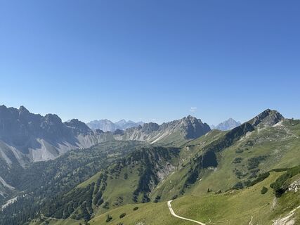
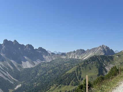
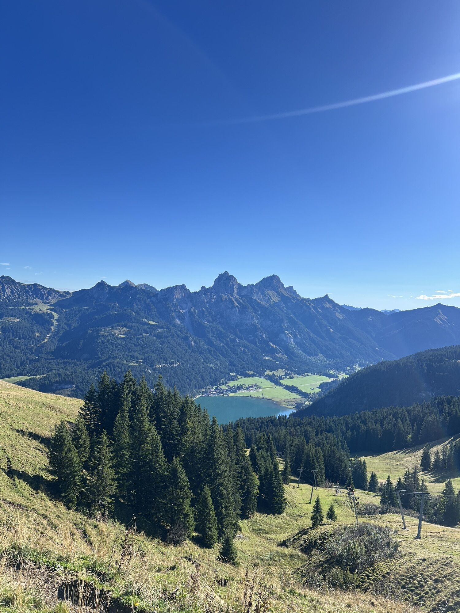
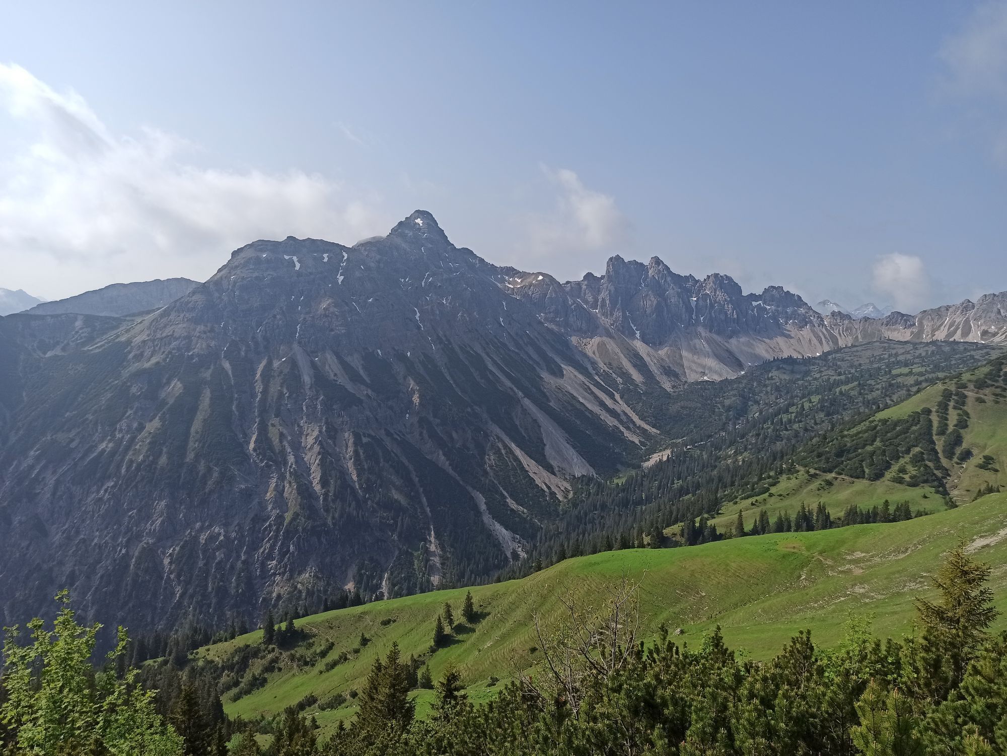
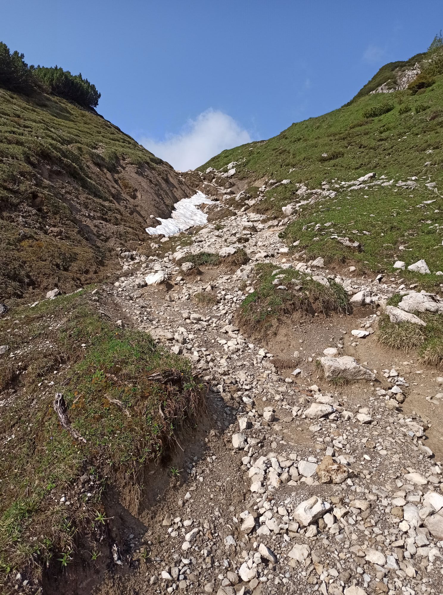
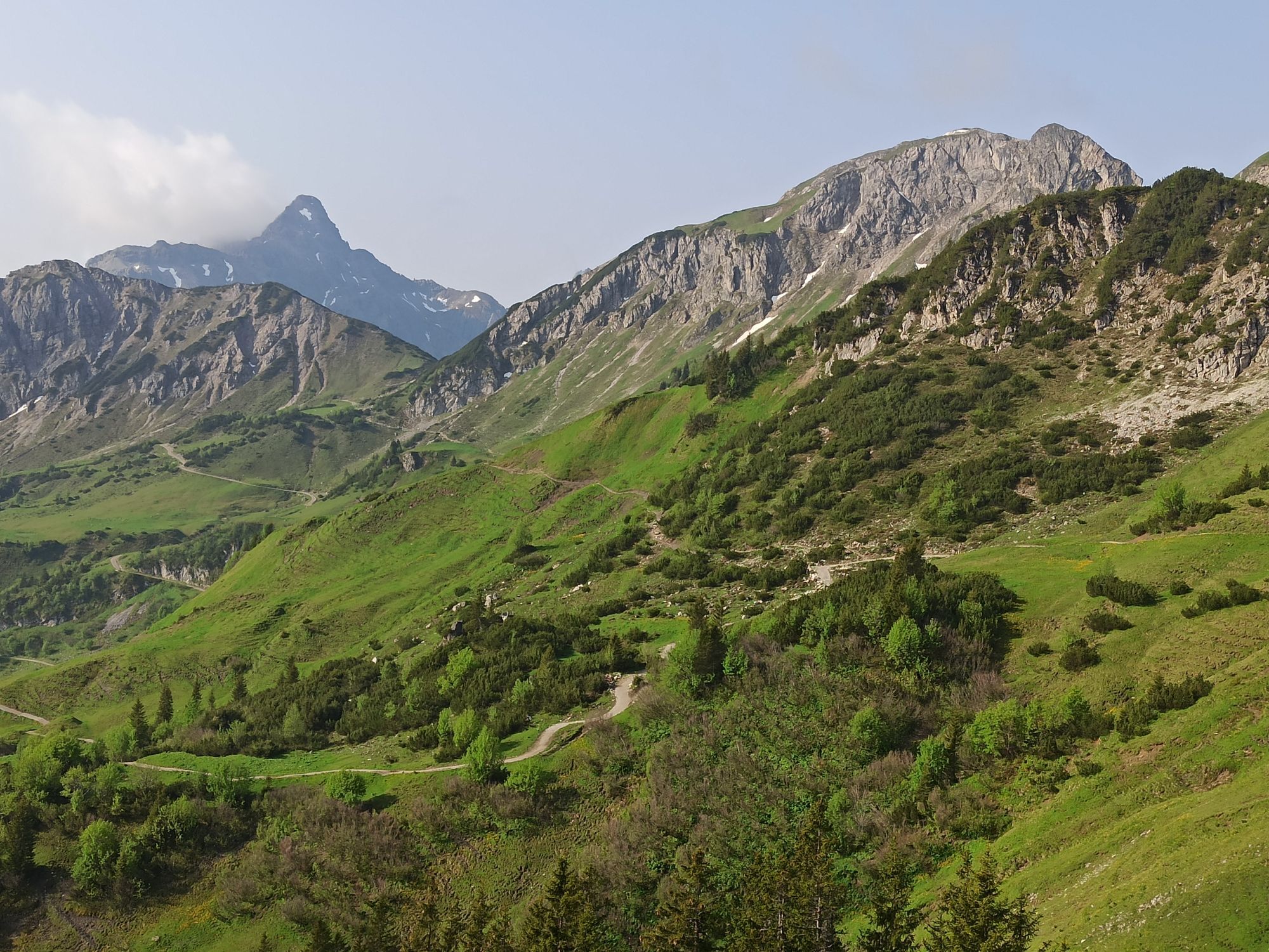
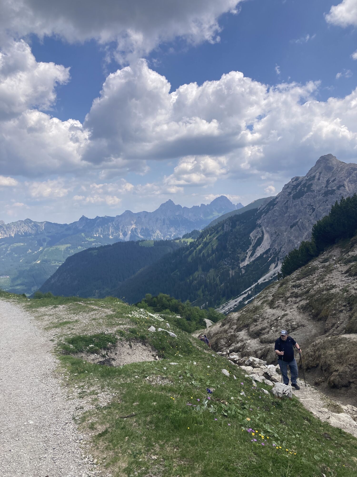
High-altitude route
Úroveň náročnosti: 5


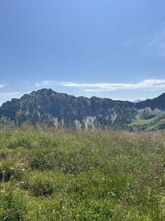
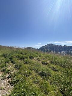
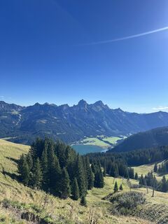
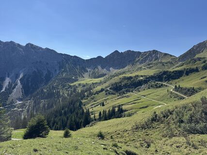
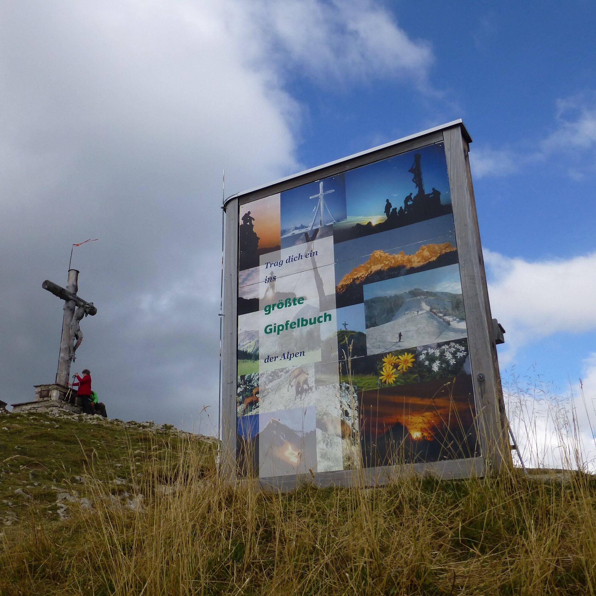
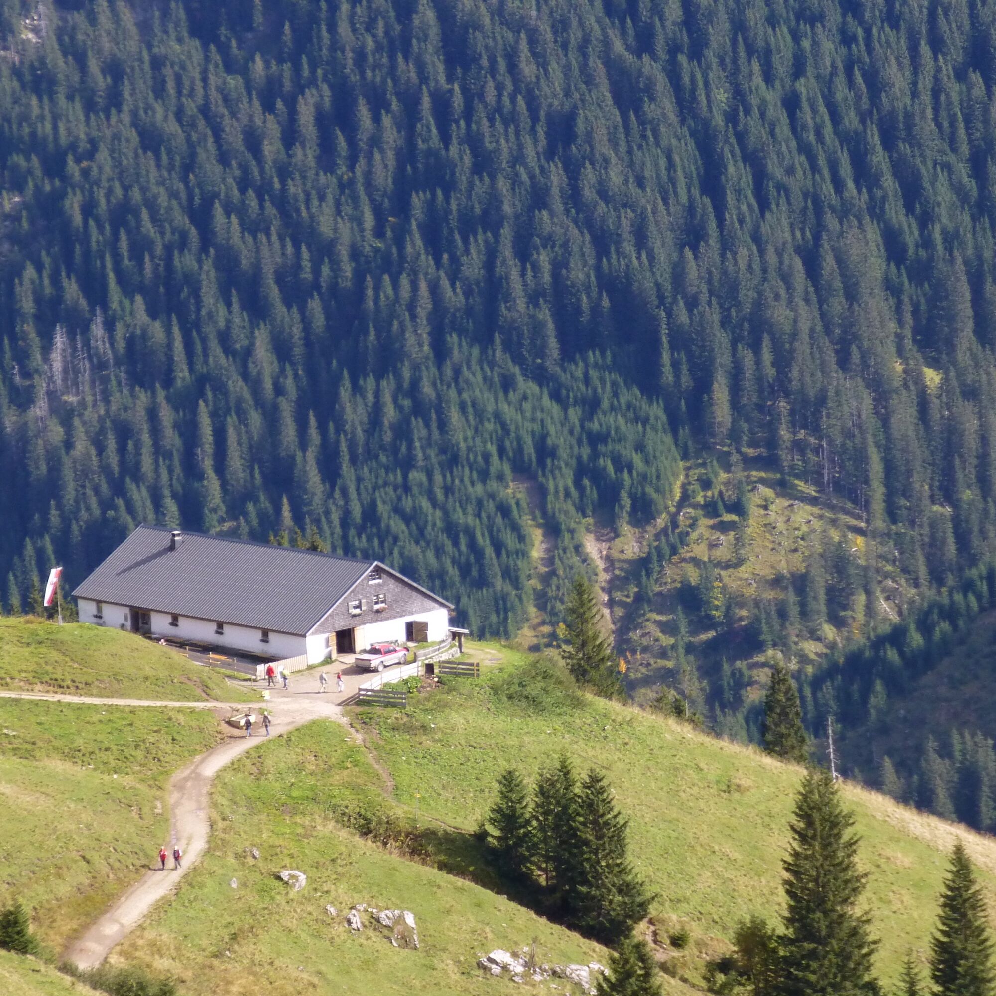
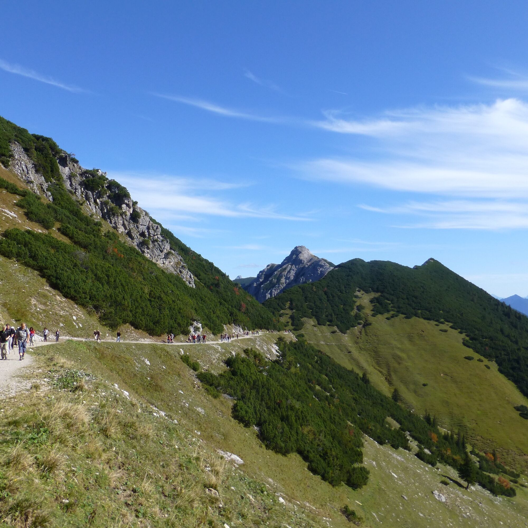
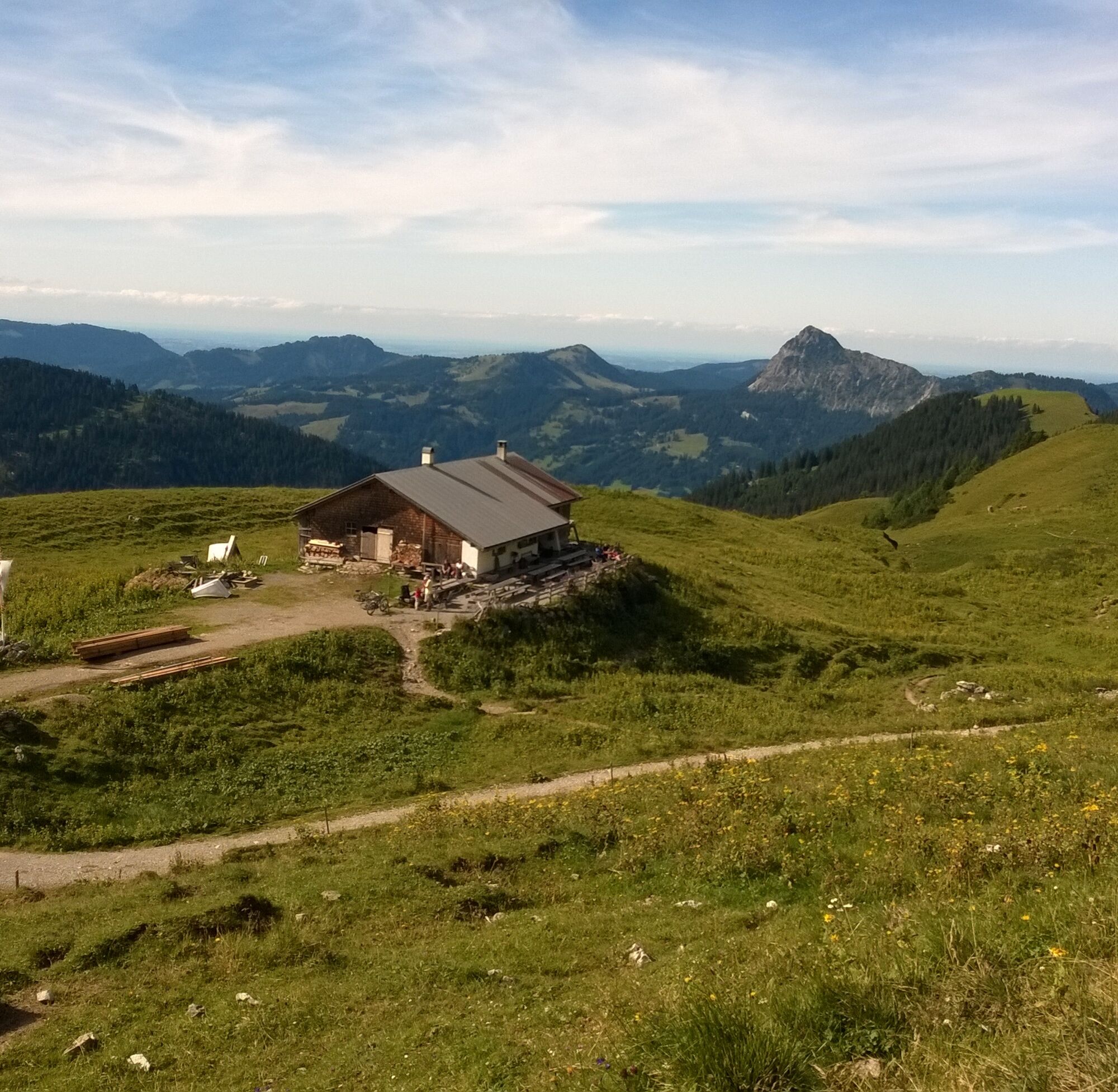
Fotografie našich používateľov
-

 © Nikos GeldermannVytvorené dňa 30.07.2024
 -
 © Nikos GeldermannVytvorené dňa 30.07.2024
 -
 © Nikos GeldermannVytvorené dňa 30.07.2024
 -
 © Sandra HillVytvorené dňa 15.09.2025
 -
 © Tobias RudolphVytvorené dňa 26.08.2025
 -
 © Kerstin LimperVytvorené dňa 11.08.2025
 -
 © Kerstin LimperVytvorené dňa 11.08.2025
 -
 © Heidi SchmidVytvorené dňa 30.07.2025
 -
 © Heidi SchmidVytvorené dňa 30.07.2025
 -
 © Erich Graf 2Vytvorené dňa 09.06.2025
 -
 © Benjamin BarnsteinerVytvorené dňa 09.06.2025
 -
 © Benjamin BarnsteinerVytvorené dňa 09.06.2025
 -
 © Benjamin BarnsteinerVytvorené dňa 09.06.2025
 -
 © Benjamin BarnsteinerVytvorené dňa 09.06.2025
 -
 © Benjamin BarnsteinerVytvorené dňa 09.06.2025
 -

 © Han van RijnVytvorené dňa 17.06.2023
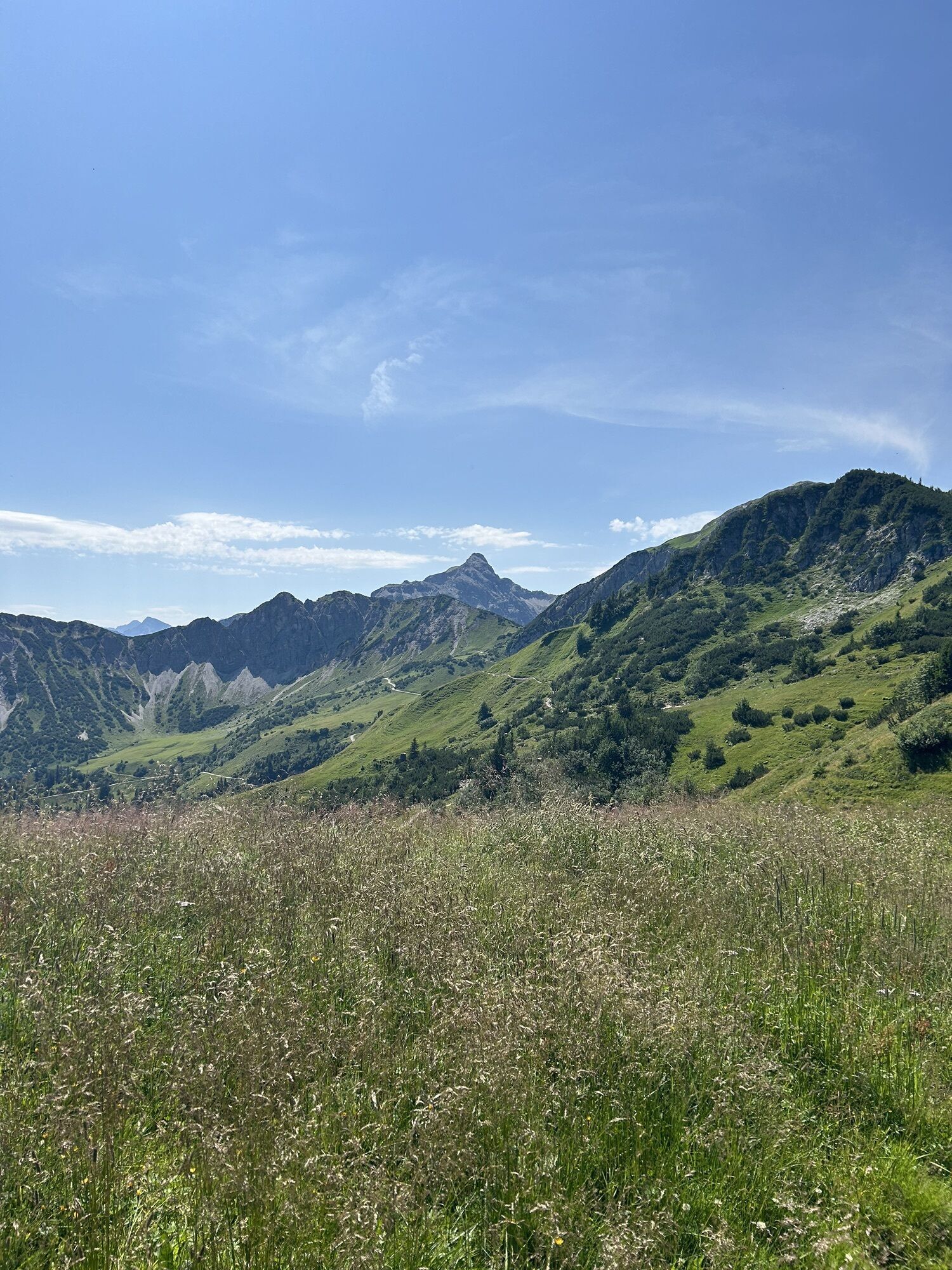
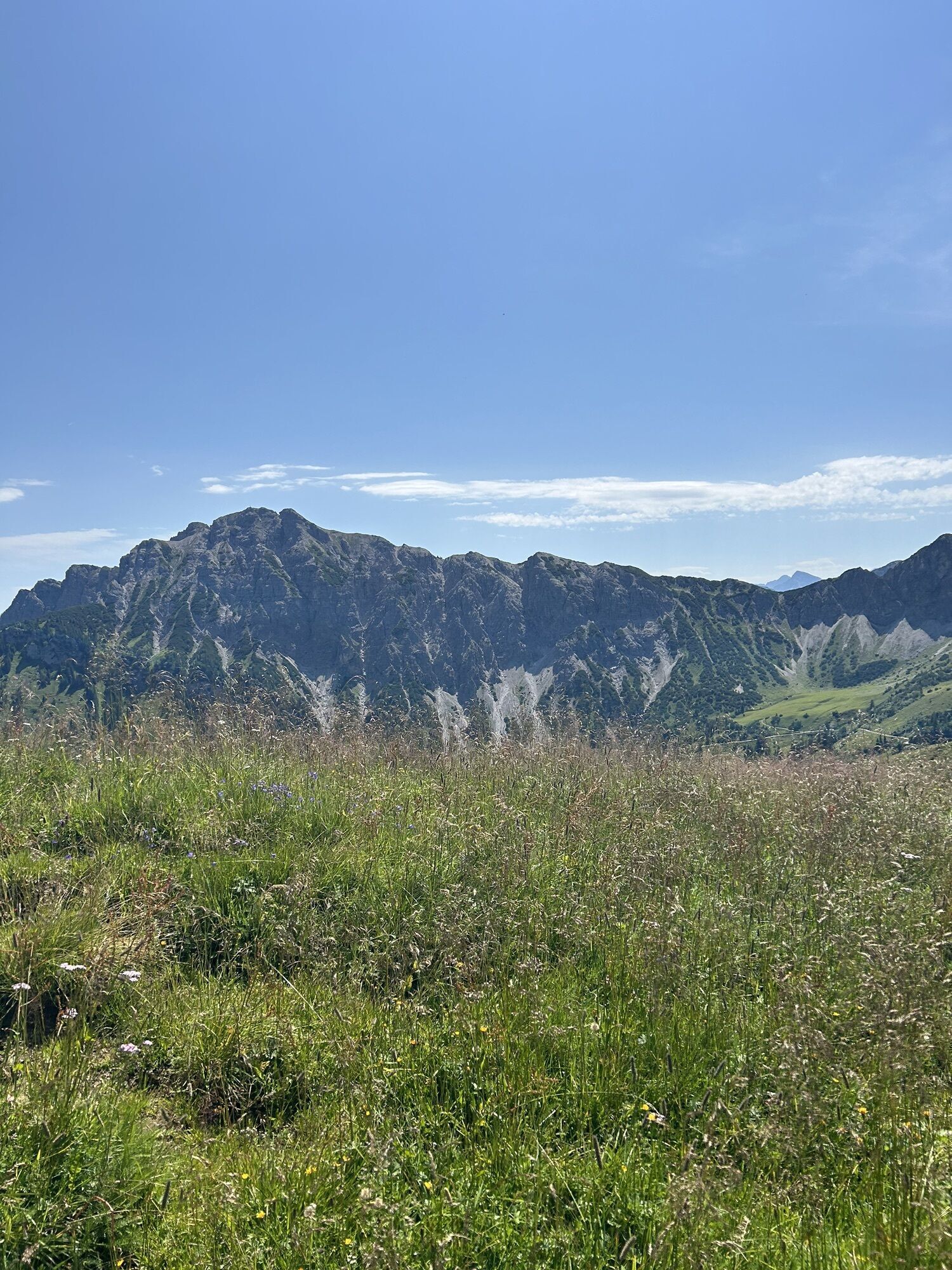
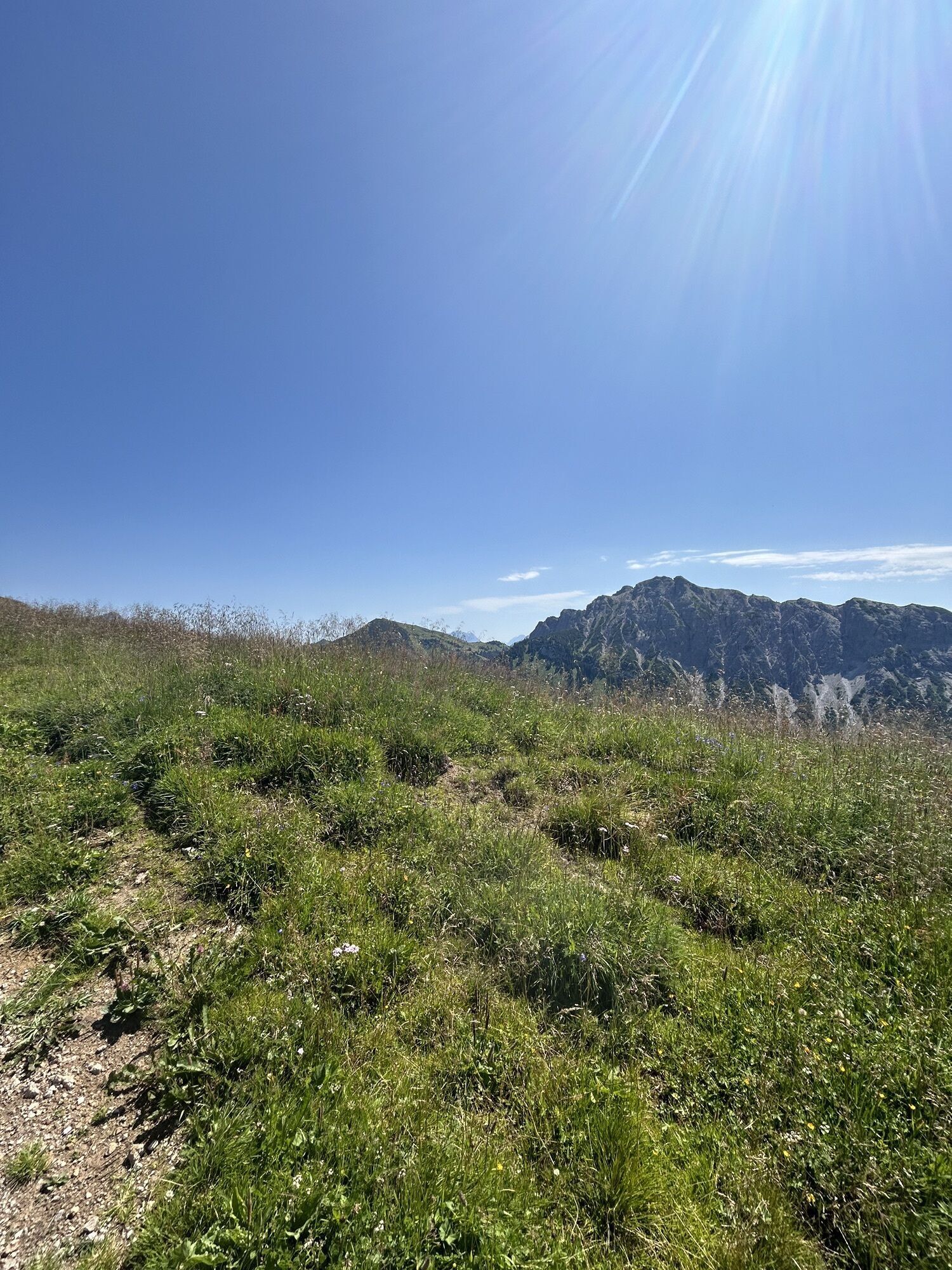


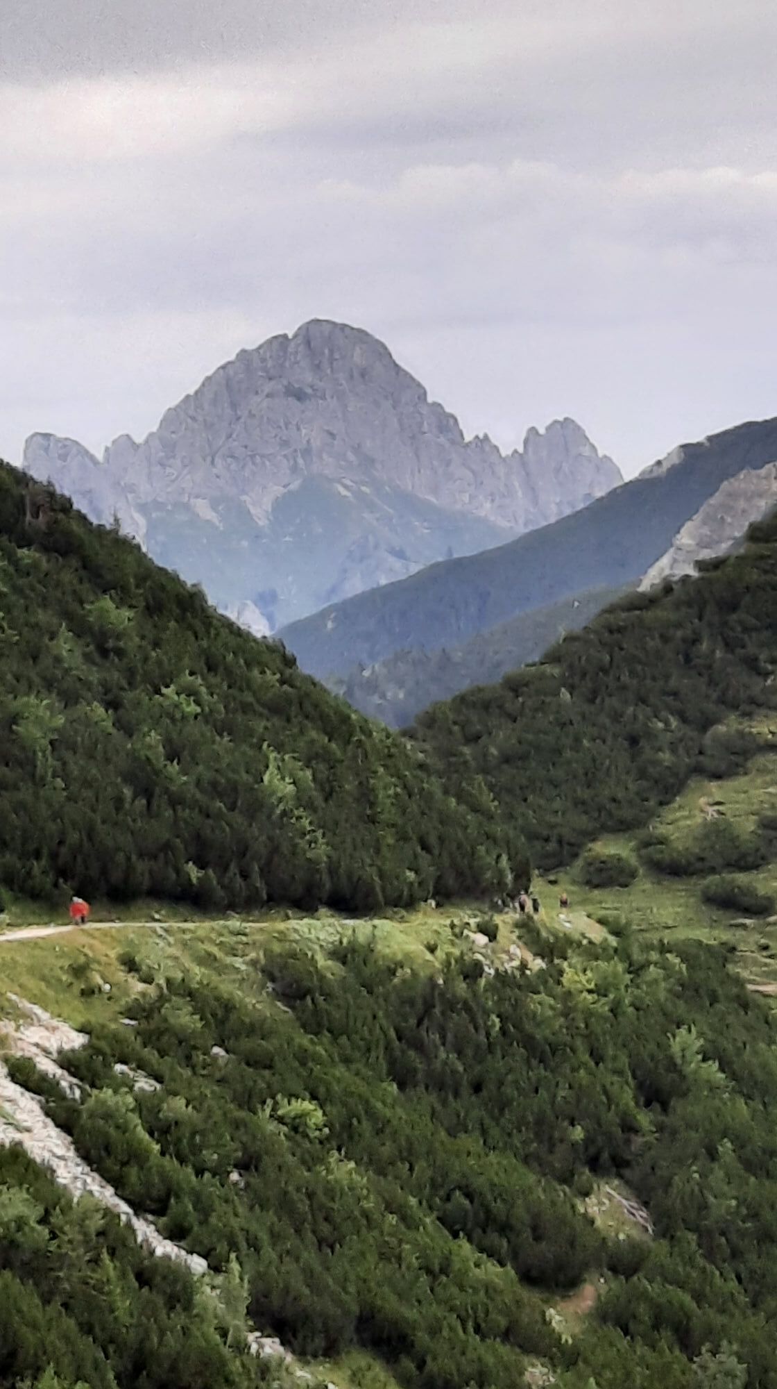


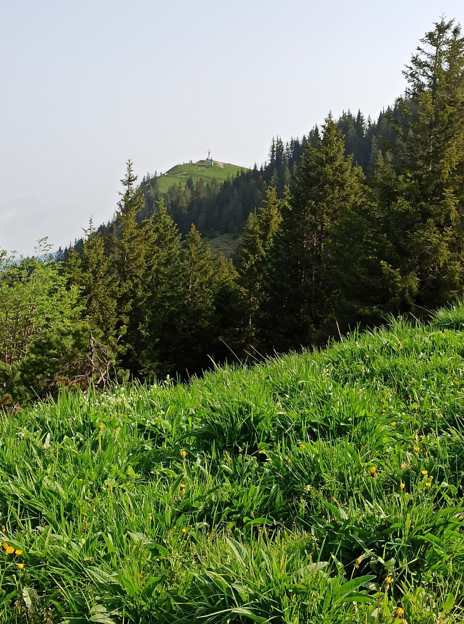
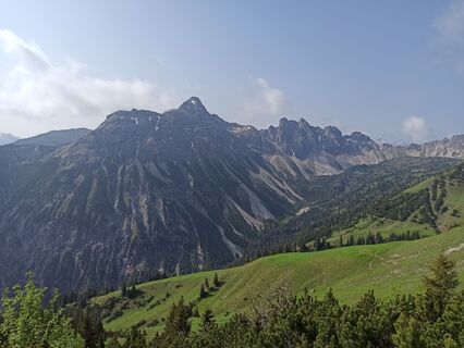
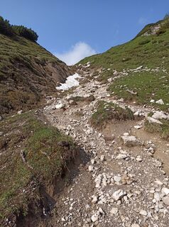
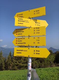
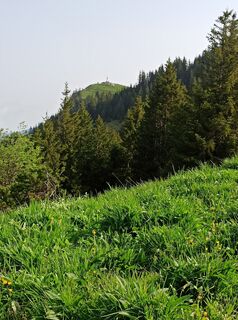
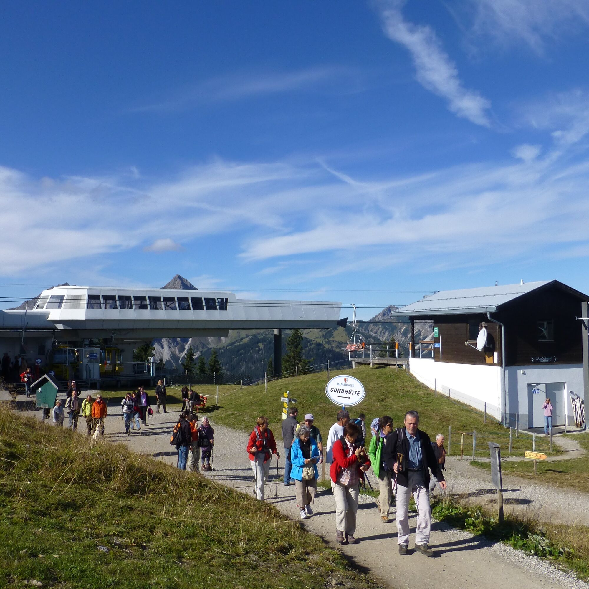
With the gondola to the Neunerköpfle mountain station. From there heading south on a well-accessible mountain path to the Upper Strindenalpe. Continue on a forest road over the Strindenscharte to the Gappenfeld...
With the gondola to the Neunerköpfle mountain station. From there heading south on a well-accessible mountain path to the Upper Strindenalpe. Continue on a forest road over the Strindenscharte to the Gappenfeld Alpe.
There is the option to return the same way or descend via the Landsberger Hut and Vilsalpsee.


With the gondola to the Neunerköpfle mountain station. From there heading south on a well-accessible mountain path to the Upper Strindenalpe. Continue on a forest road over the Strindenscharte to the Gappenfeld Alpe.
We follow the same path back to the starting point.
Áno
Áno
Personal equipment must be safe and usable and meet the respective technical standard. Everyone is recommended to inform themselves through specialist literature or on-site about the planned routes. Complete equipment also strongly recommended for experienced people!
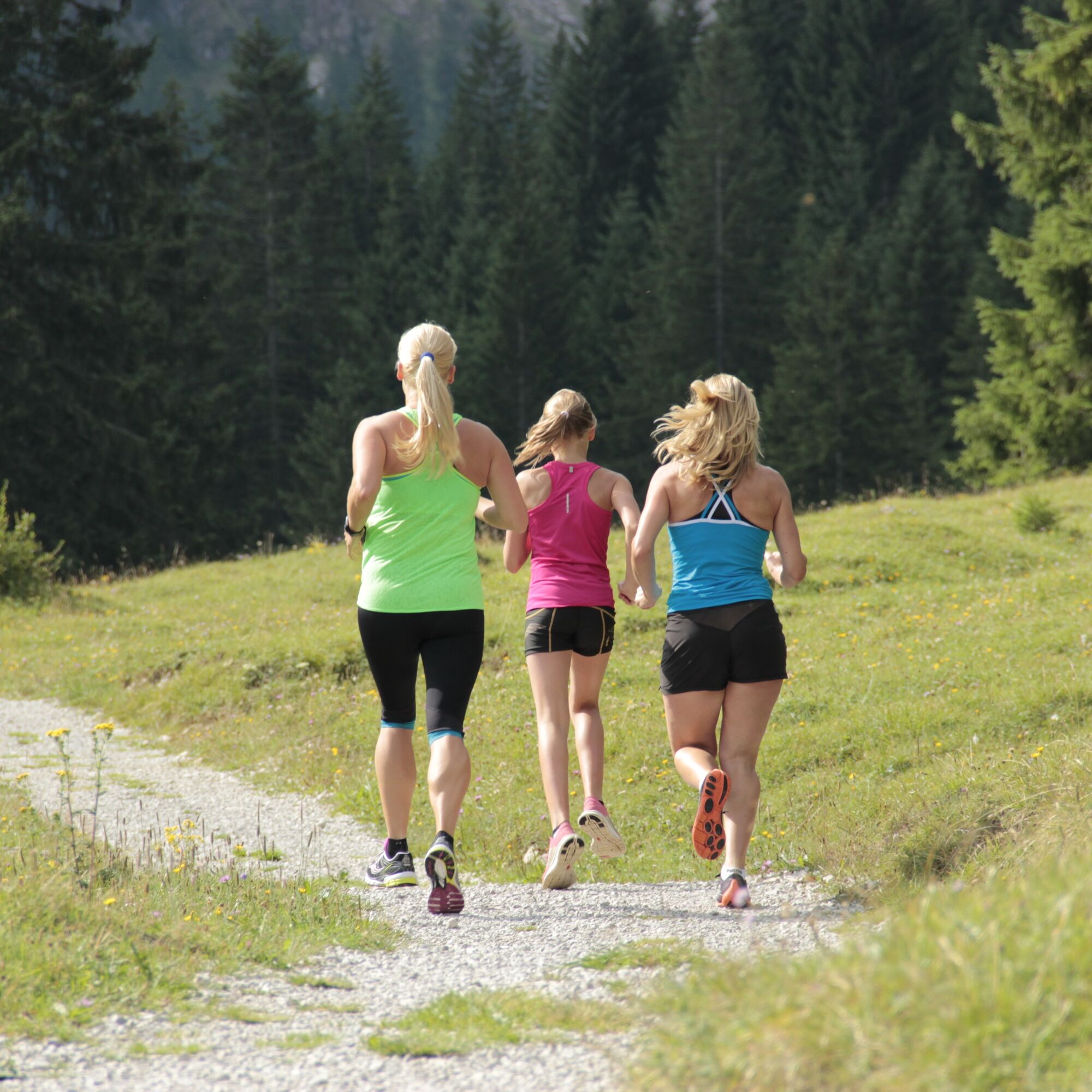
It should be noted that running and walking sports carry a risk of accidents and injuries. Despite careful route planning, a basic risk always remains. Route preparation through endurance sports, appropriate technical training and education as well as personal caution reduce the risk of accidents and the risks.
On the A7 motorway, take exit "Oy-Mittelberg" onto the B310 towards Wertach and Oberjoch. Then follow the signs "Tannheimer Tal" B199 to Tannheim. From the Tyrolean side via Reutte on the B198 towards Lechtal to Weißenbach, over the Gaichtpass along the B199 to Tannheim.
By train to Sonthofen, Pfronten/Ried or Reutte, then by bus to Tannheim
Lift parking in Tannheim - paid
5
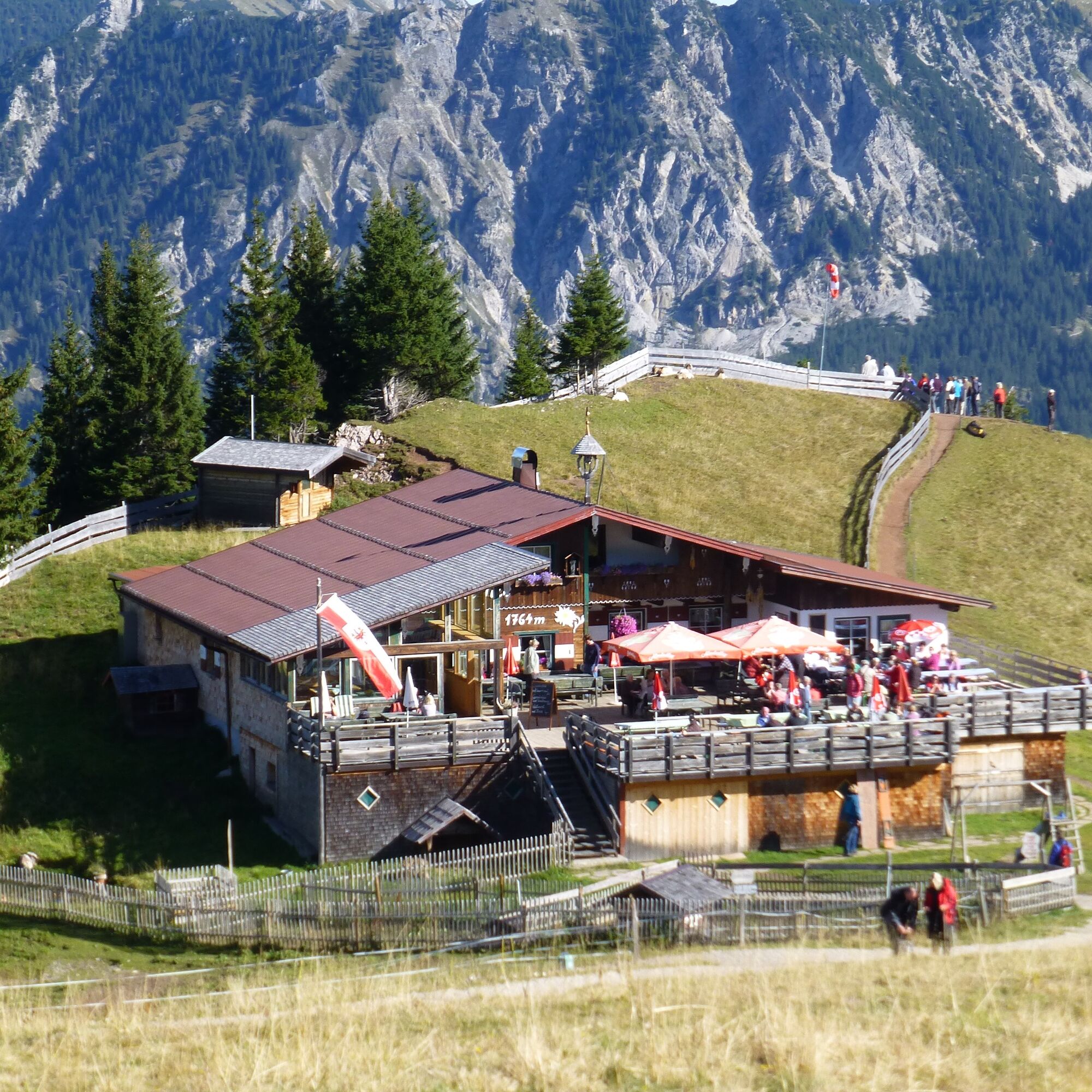
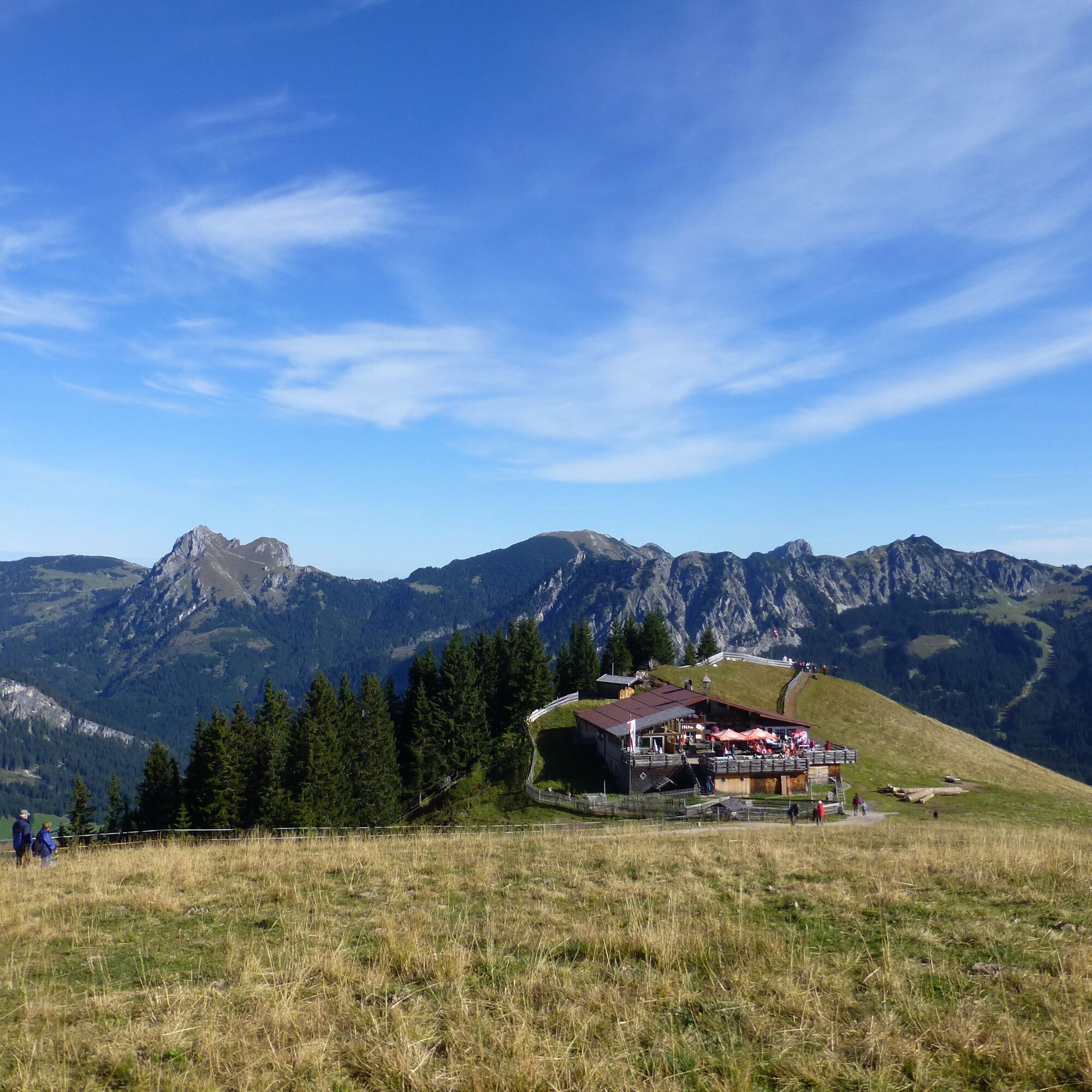
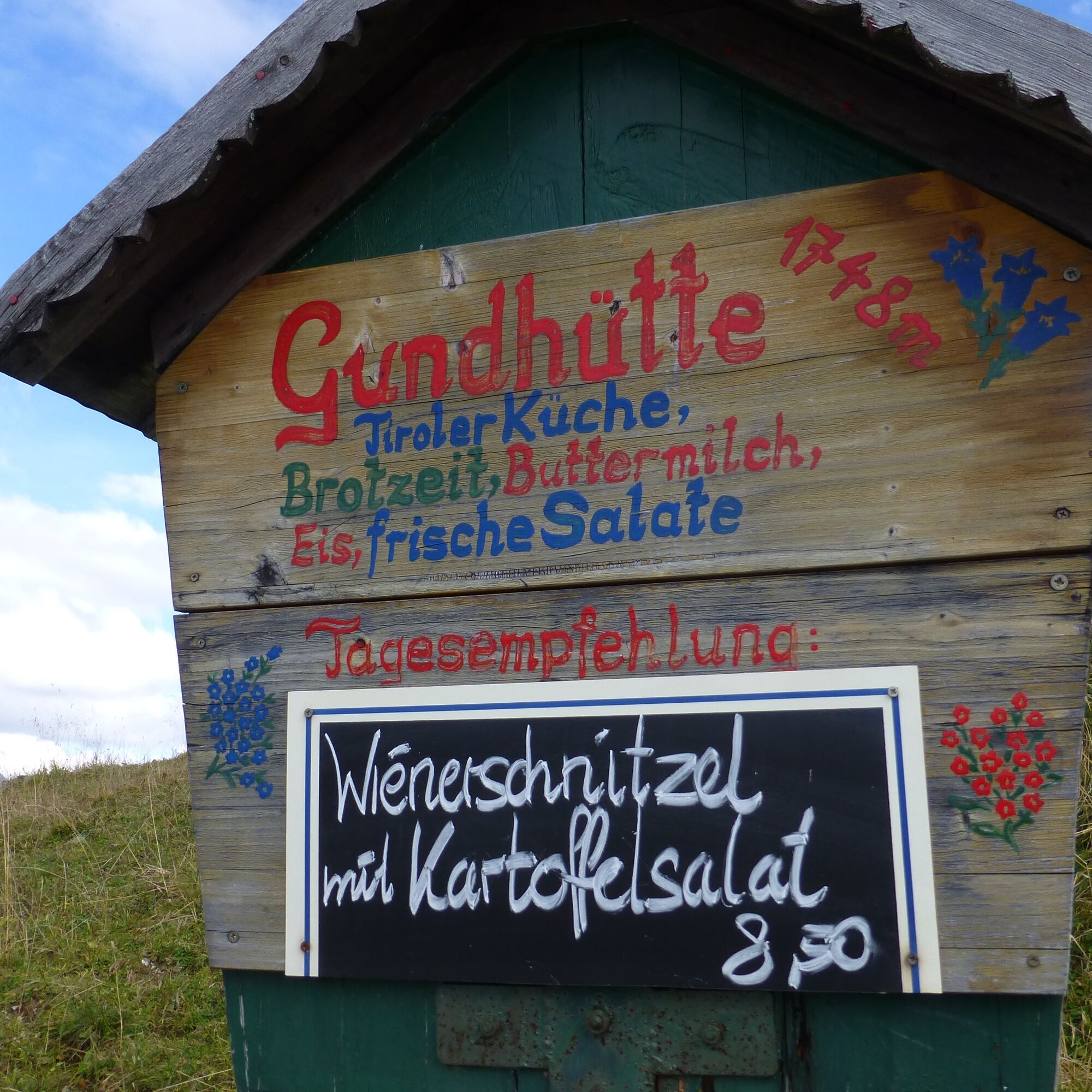
Stop by one of the huts along the way, hearty snacks await you.
Webové kamery z prehliadky
-
Tannheim
-
Neunerköpfle Mittelstation
-
Grän - Almdorf Tirol
-
Neunerköpfle Mittelstation
-
Neunerköpfle Mittelstation
-
Neunerköpfle Mittelstation
-
Neunerköpfle Mittelstation
-
Neunerköpfle Mittelstation
-
Neunerköpfle Mittelstation
-
Neunerköpfle Mittelstation
-
Grän - Hotel Bergblick
-
Bergstation Neunerköpfle
-
Tannheimertal
-
Haller
-
Haller
-
Haller
-
Haller
-
Haller
-
Gundhütte - Tannheimertal
Obľúbené výlety v okolí
-
4,2
Three-lake route (awarded the Tyrolean Hiking Trail Seal of Quality)
strednáTuristika 14,8 km -
4,2
Höllschlucht hike » Water & Forest
strednáTuristika 7,38 km -
4,6
3-Seen Rundtour Vilsalpsee / Schrecksee / Traualpsee
strednáTuristika 17,1 km -
4,8
3-Gipfel-Tour
strednáTuristika 11,2 km -
4,5
Mountain hike to the Aggenstein
ťažkéTuristika 15,3 km -
4,0
Z Tannheimu na Sulzspitze
strednáTuristika 15,6 km -
4,8
Around Weißensee
svetloTuristika 6,12 km -
5,0
Hiking tour to Breitenberg
ťažkéTuristika 15,6 km -
5,0
Gemeinde Grän, Tirol/Österreich Aggenstein Rundtour über Höhenweg
strednáTuristika 9,84 km -
4,8
To the Bad Kissinger Hut via the Gräner Höhenweg
strednáTuristika 13,0 km
Turistika a stopovanie


Nenechajte si ujsť ponuky a inšpiráciu na ďalšiu dovolenku
Vaša e-mailová adresa bol pridaný do poštového zoznamu.