







Trip Tyrol ➤ Hochtannberg Pass Alpine Road

Úroveň náročnosti: 1
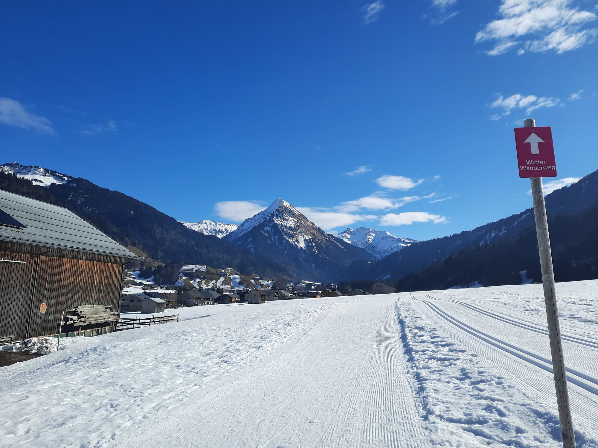
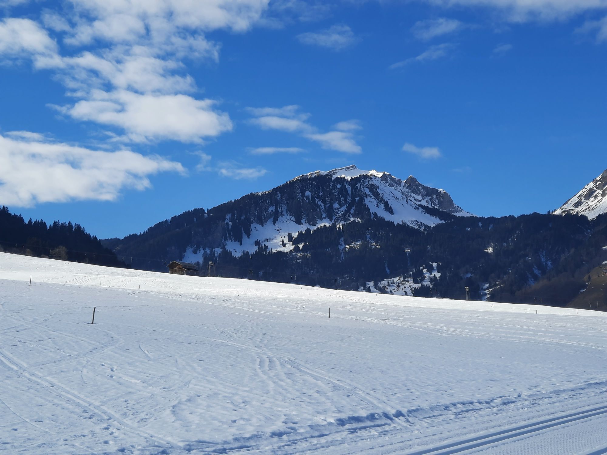
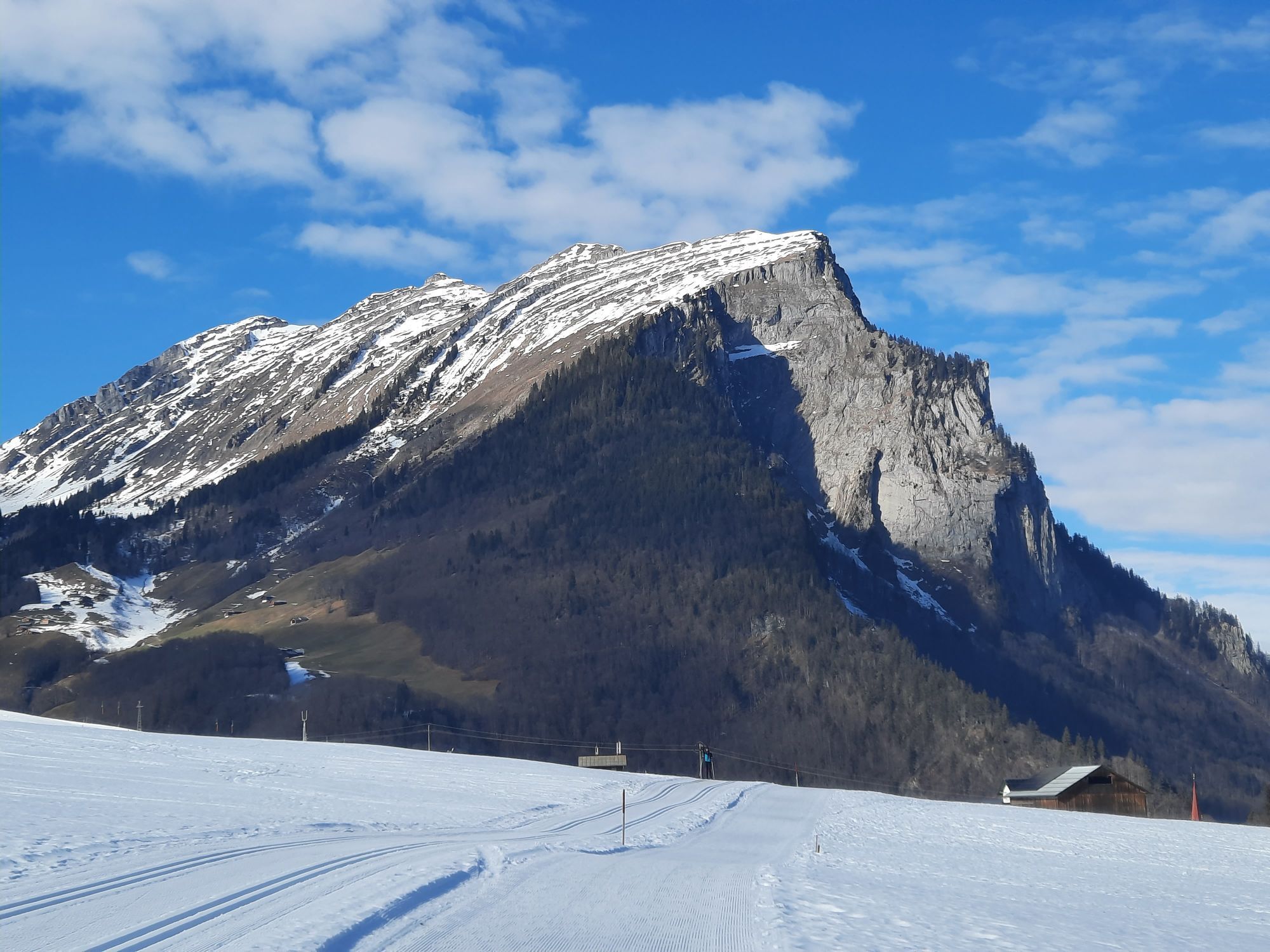
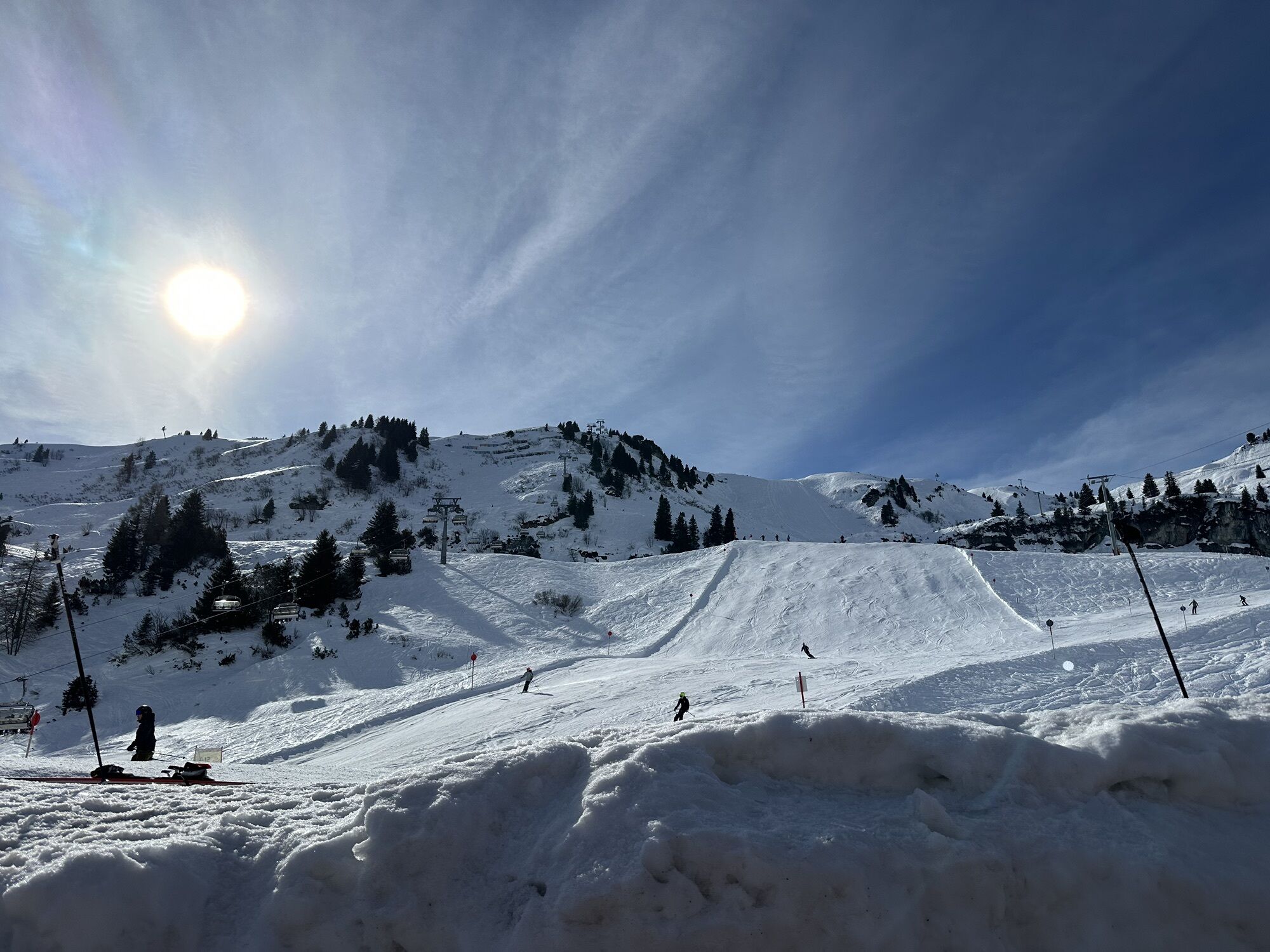
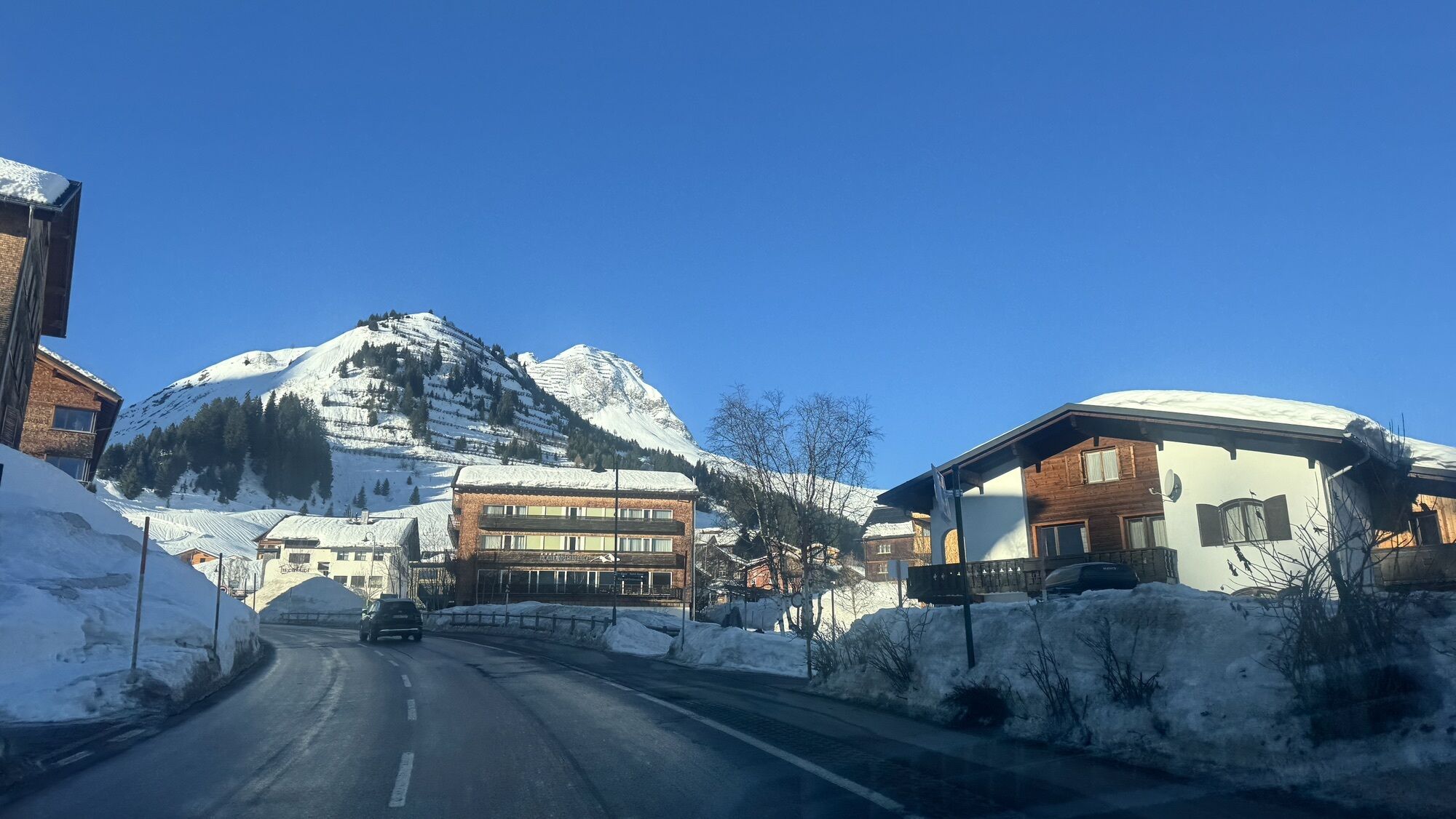
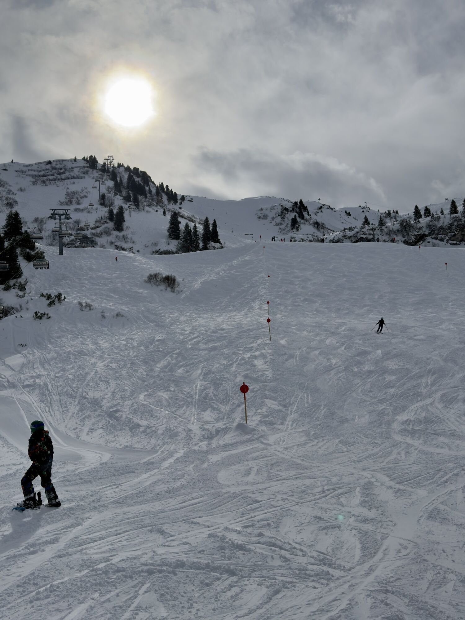
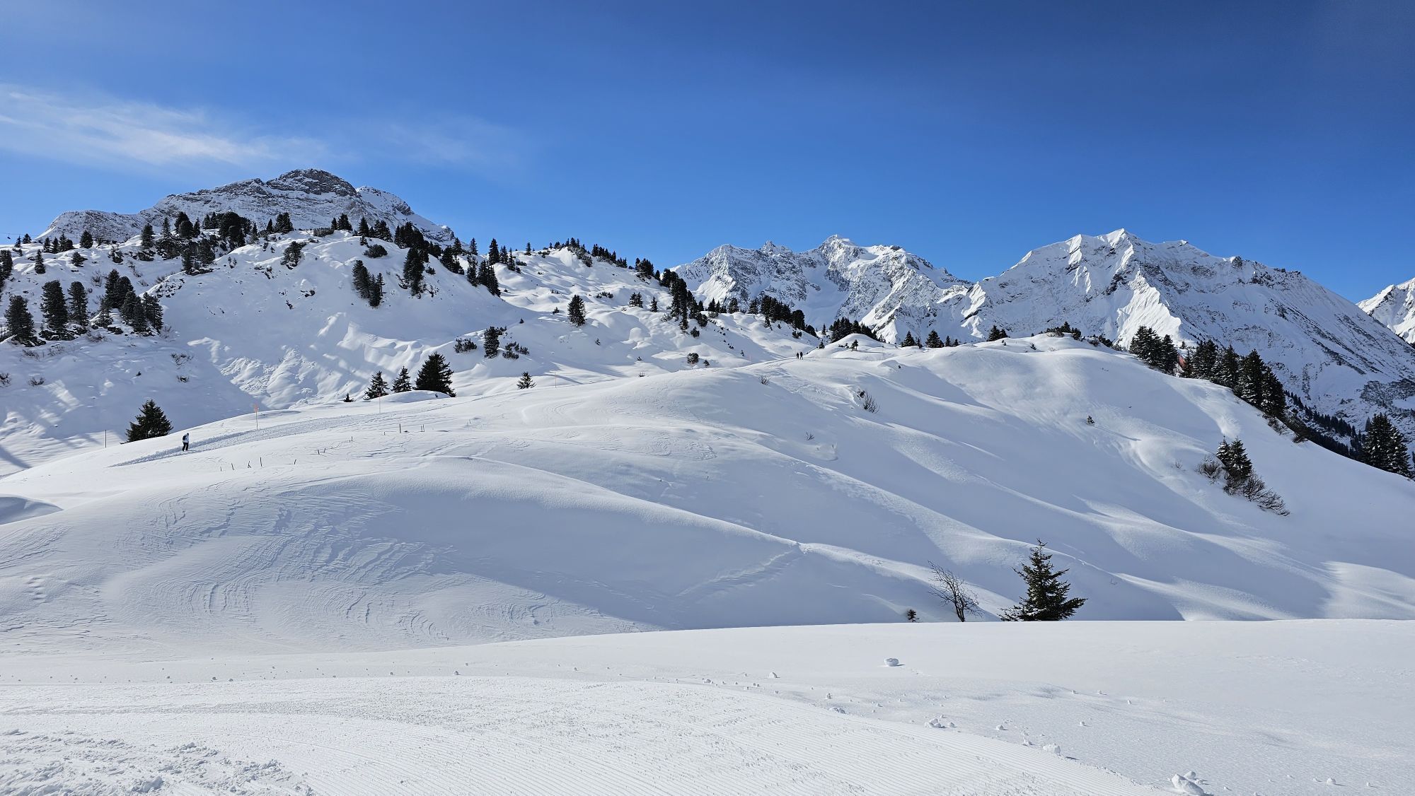
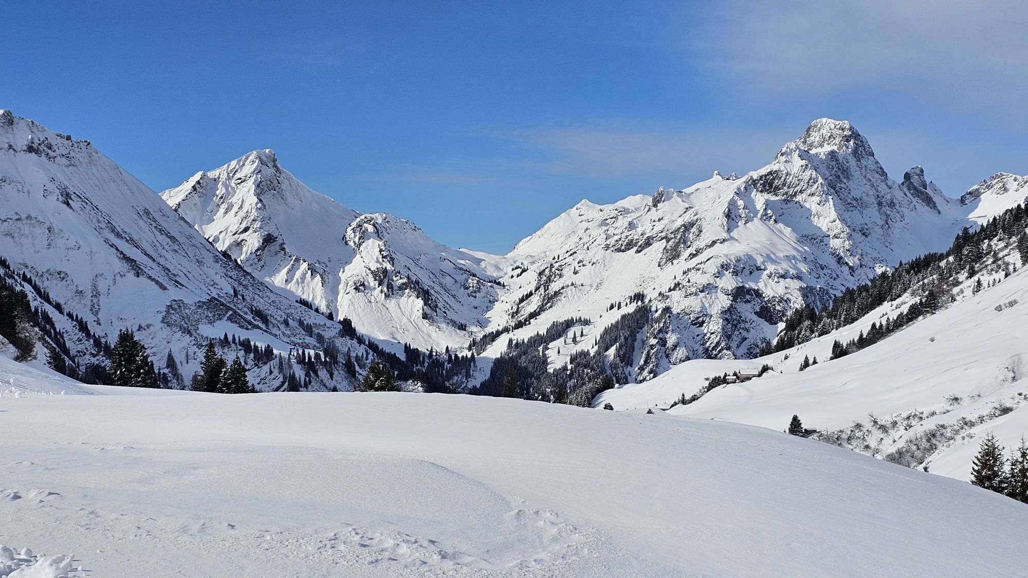
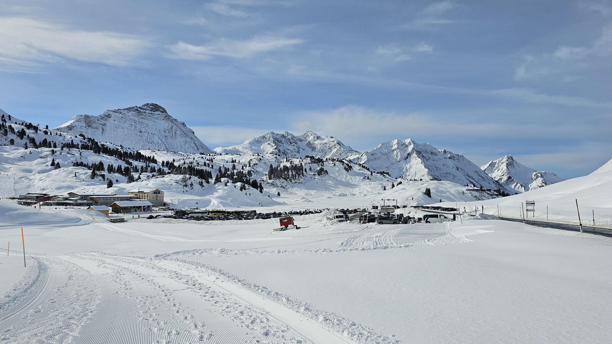
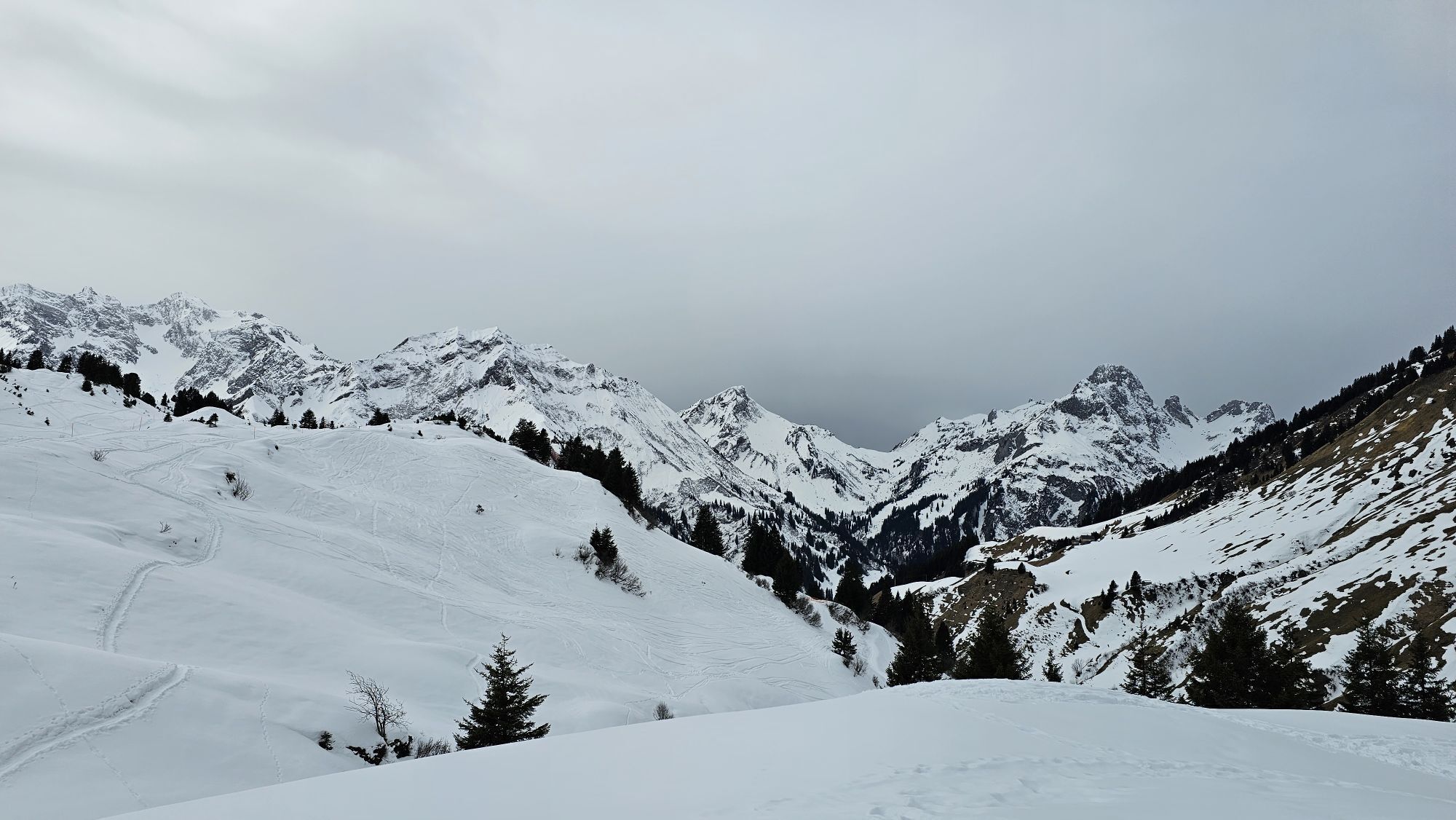
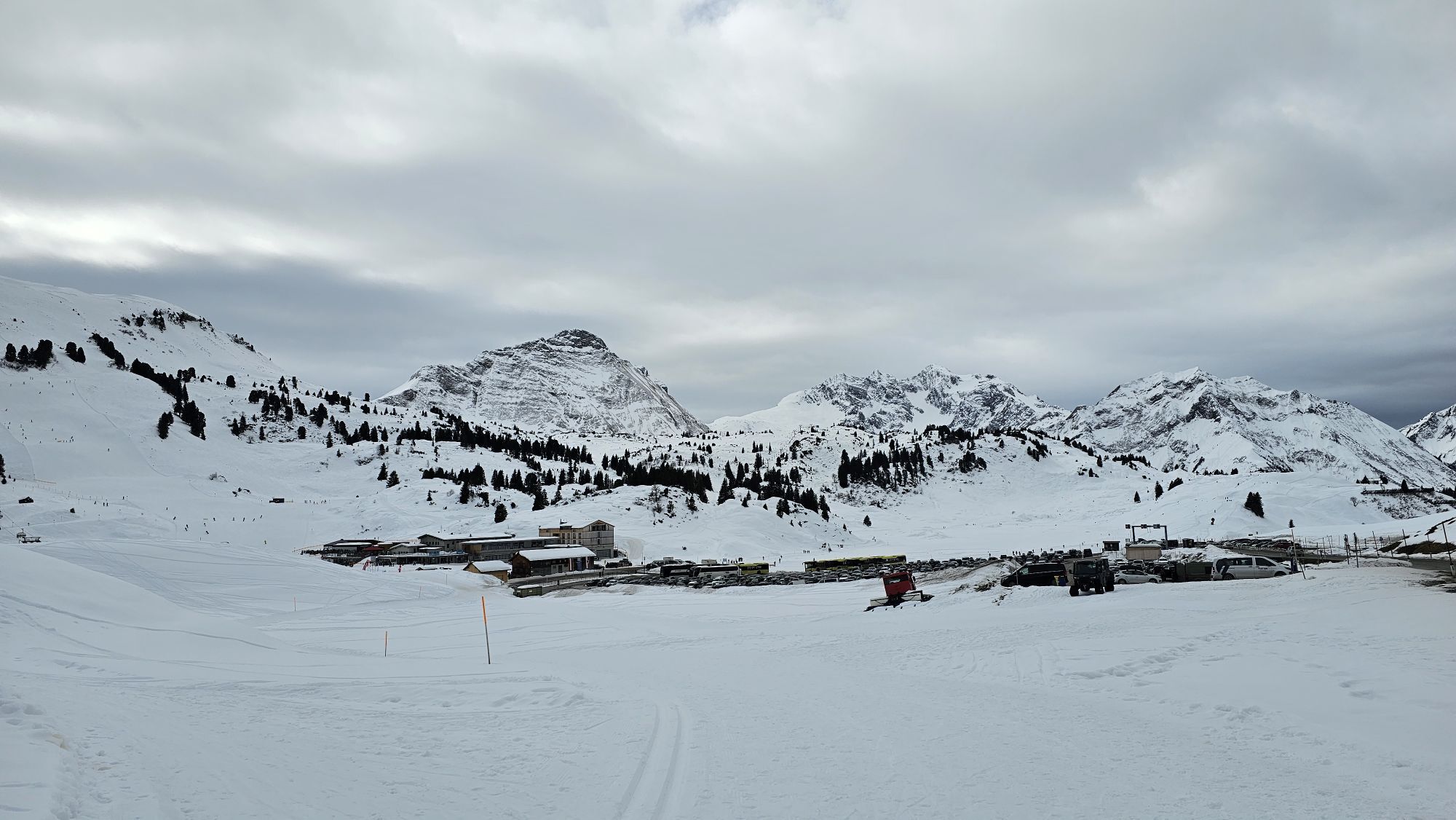
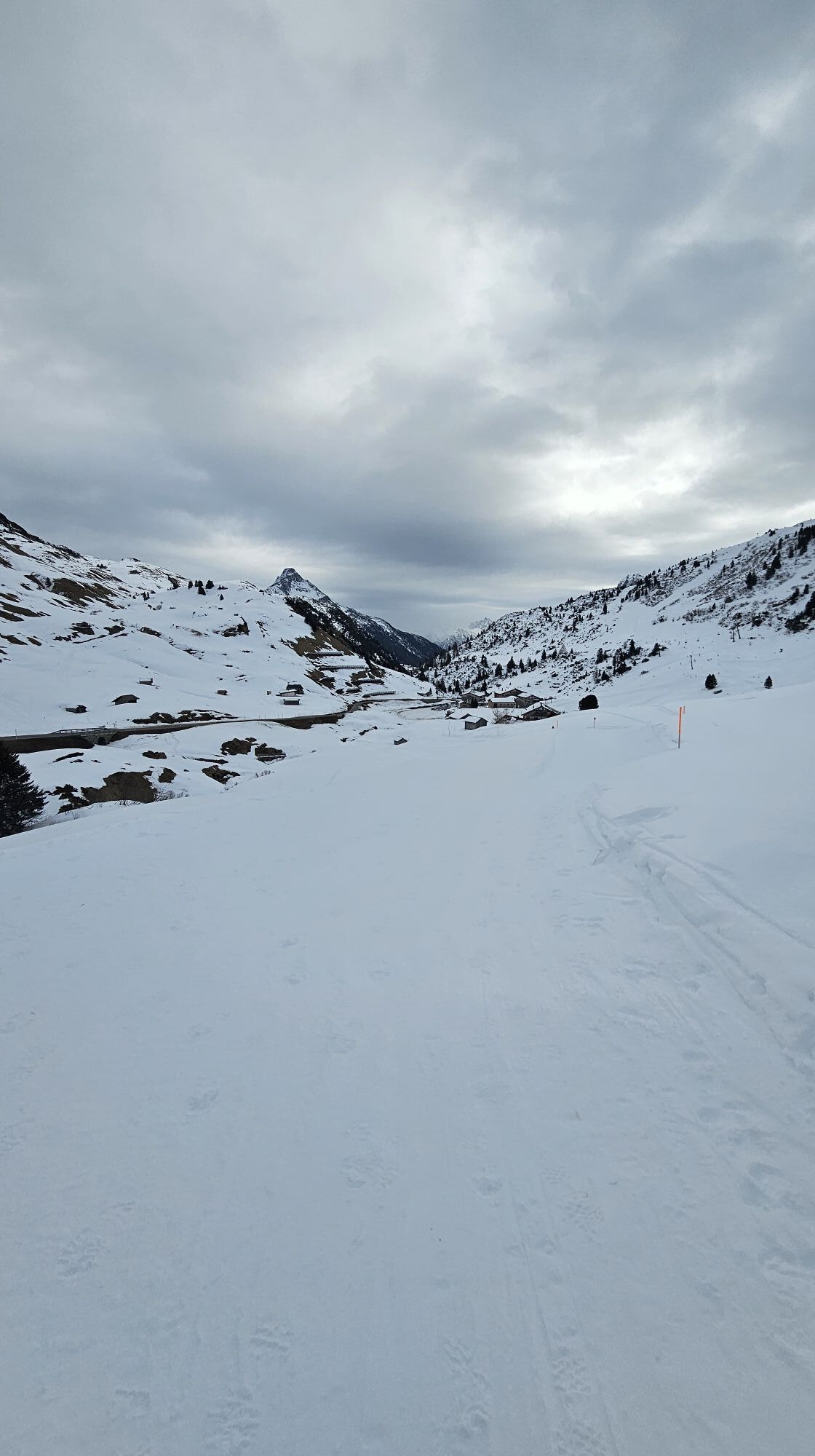
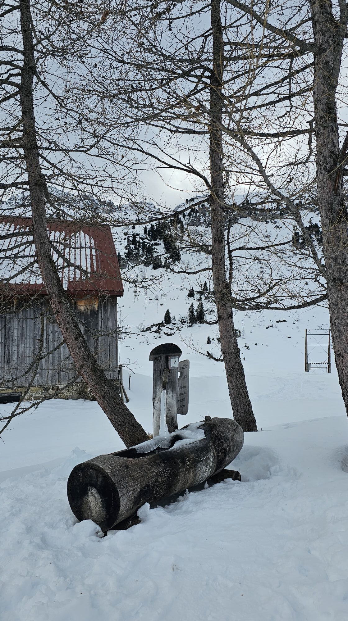
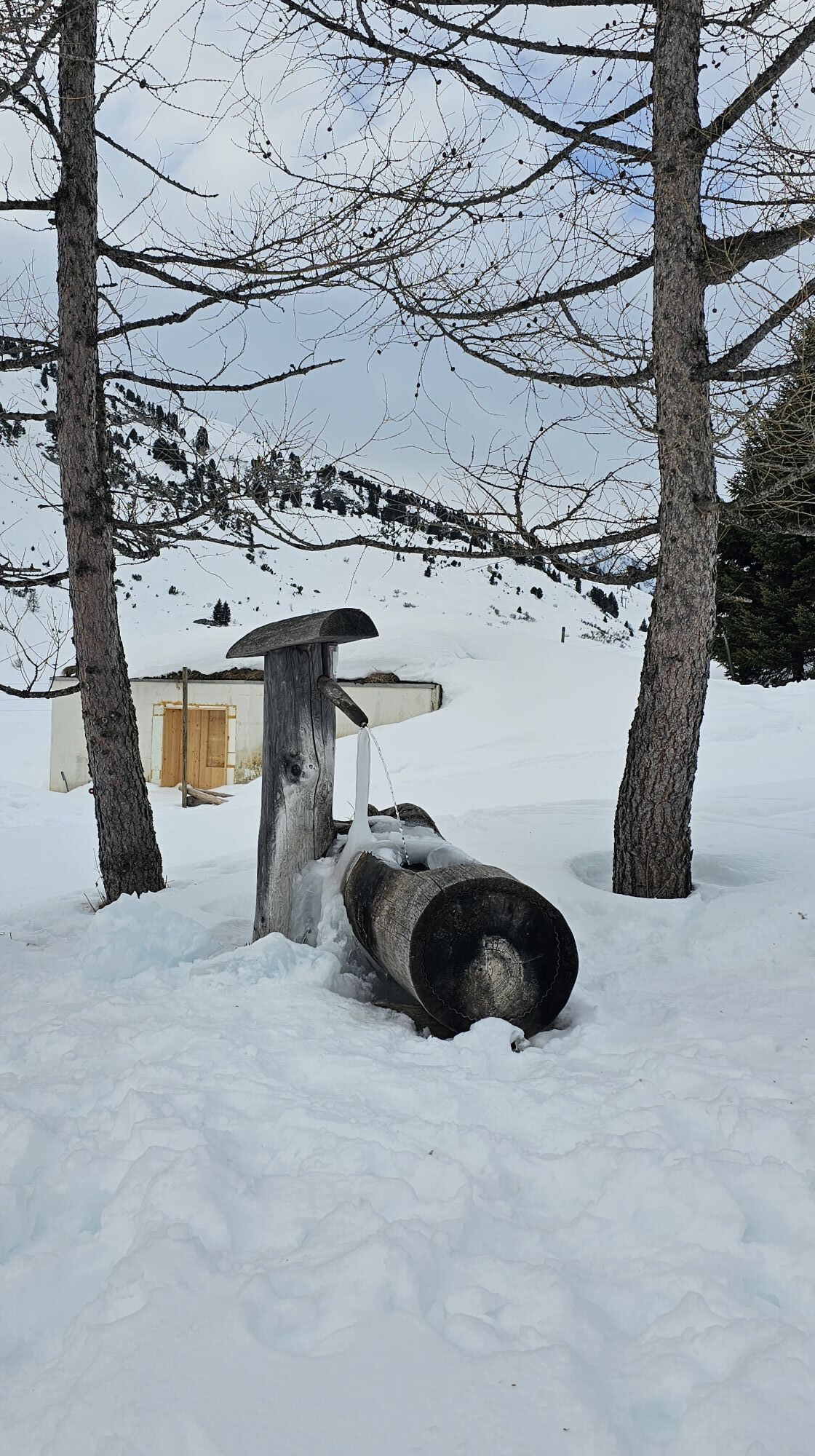
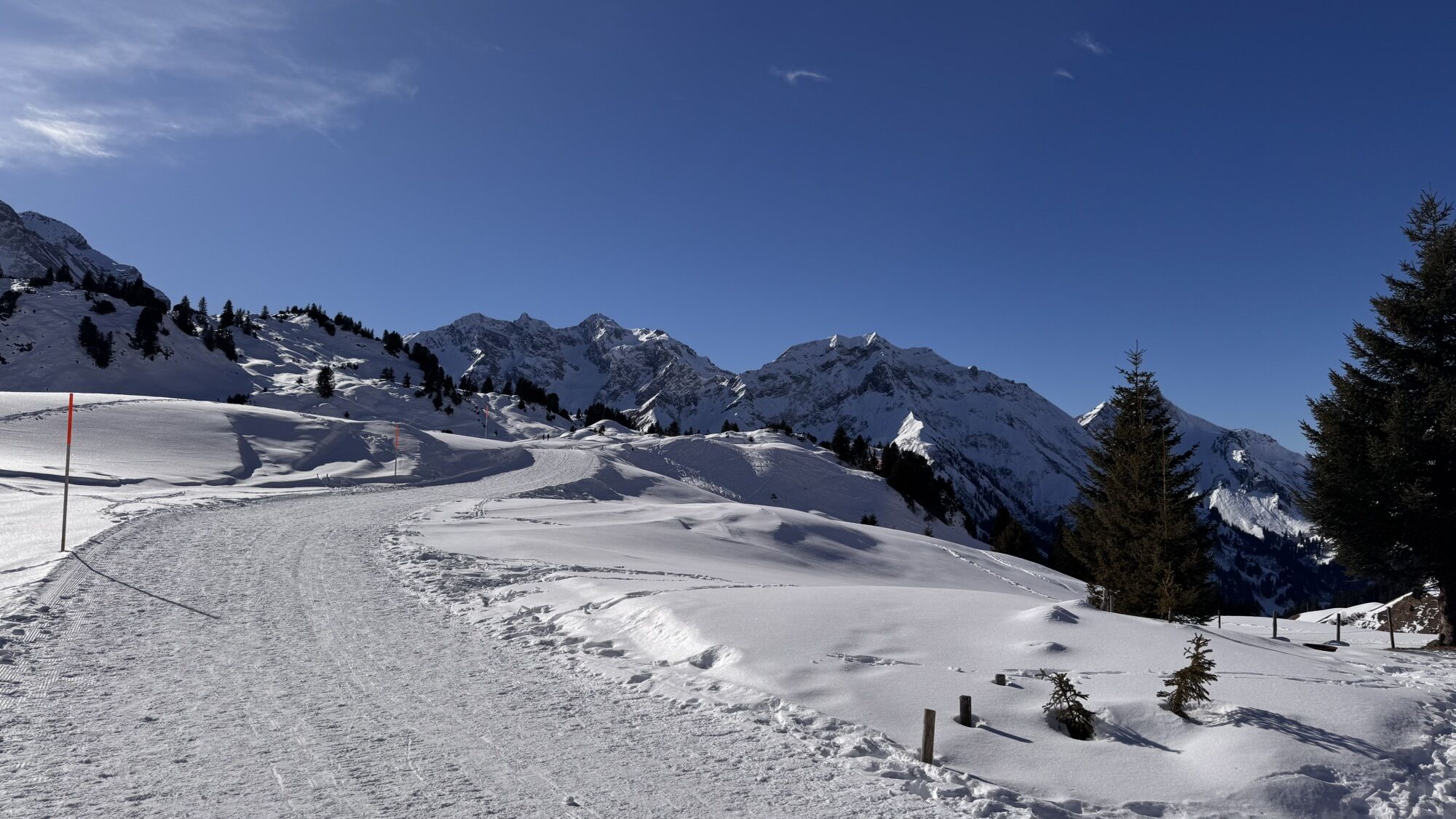
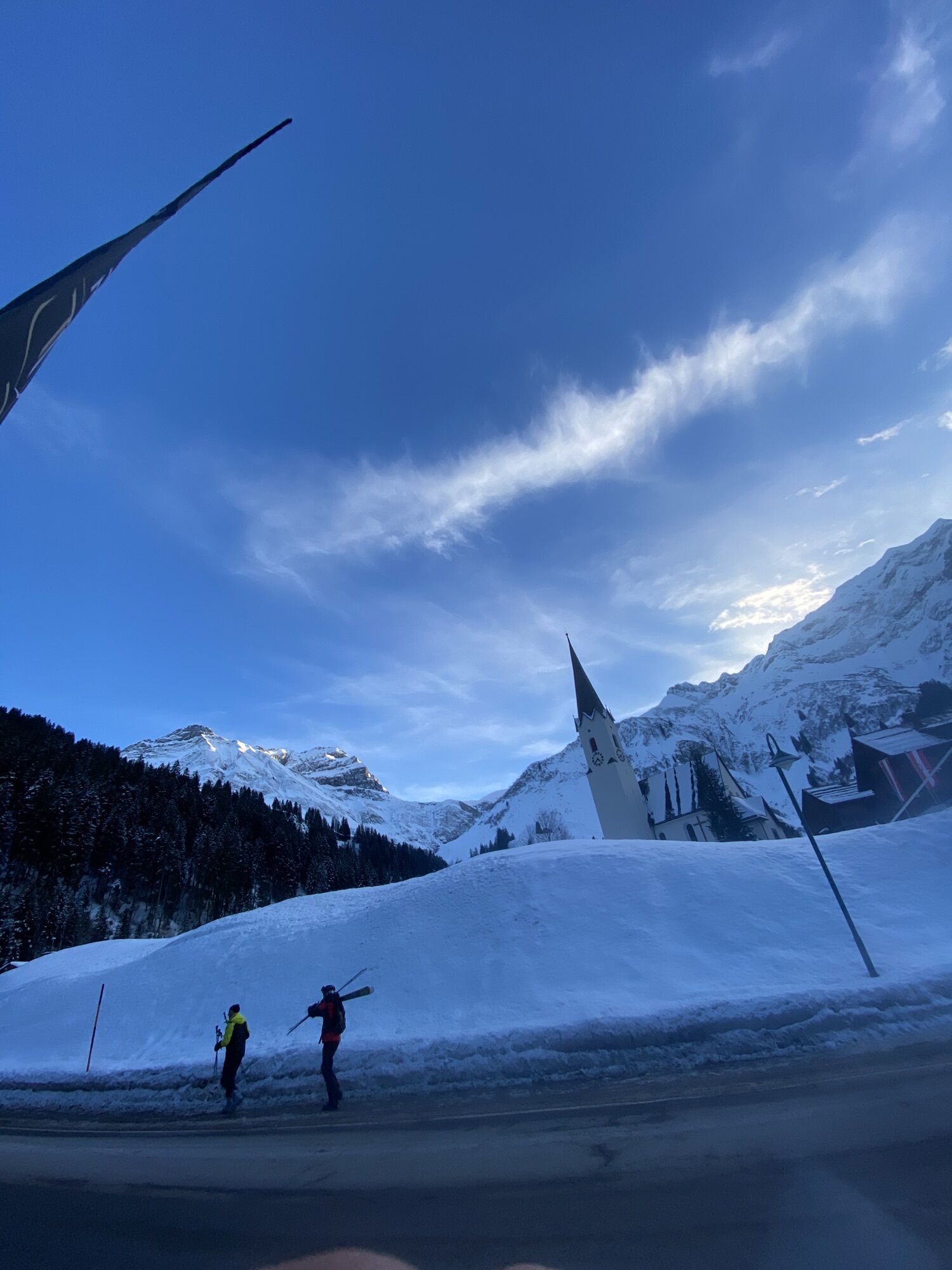
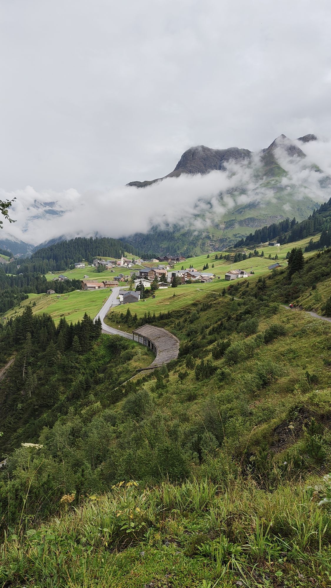
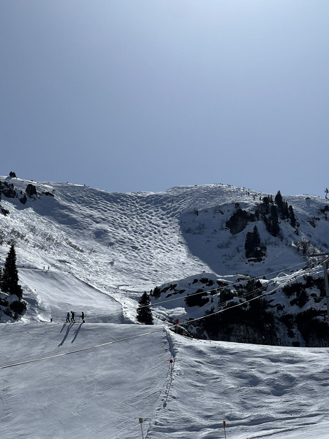
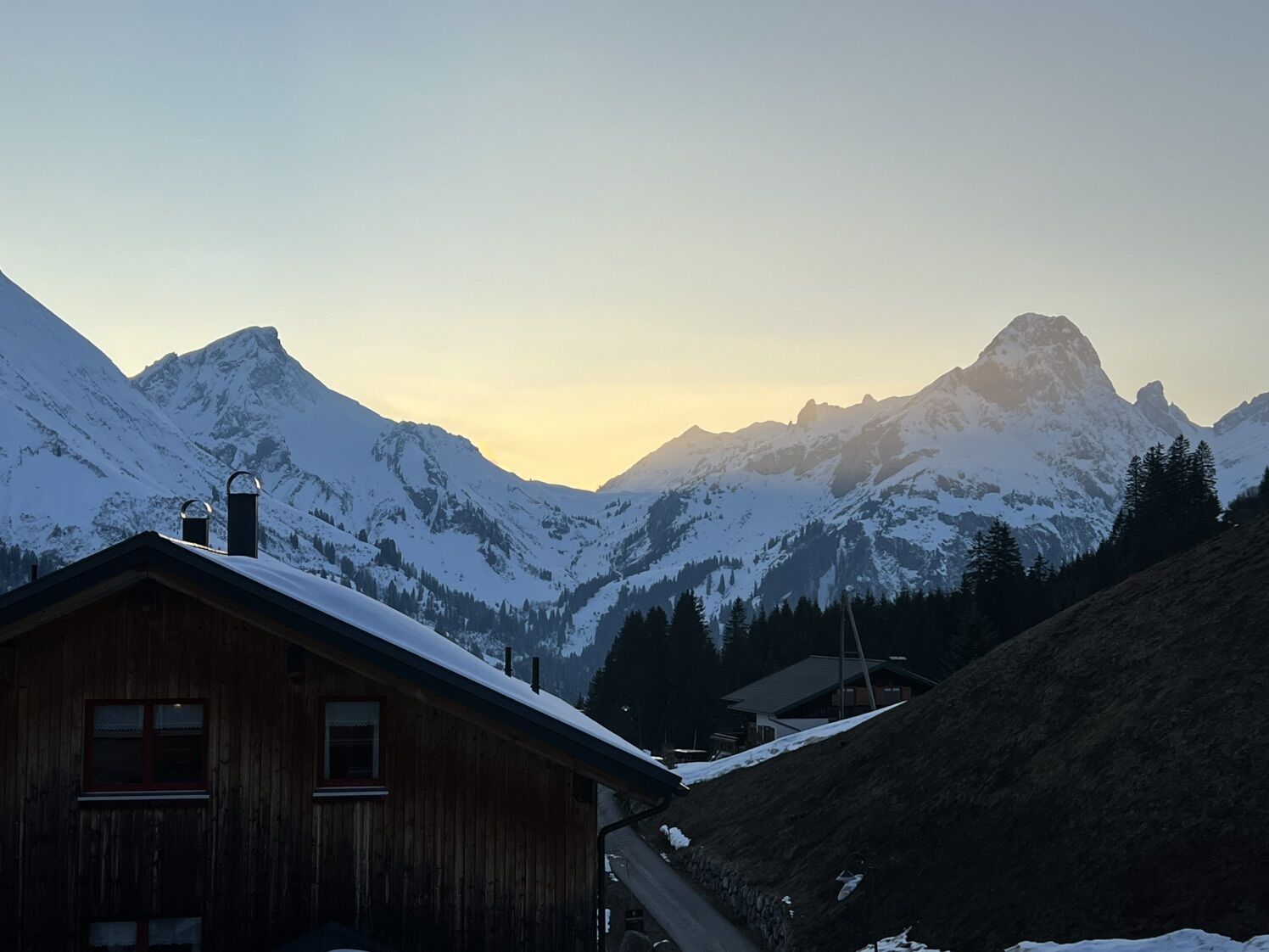
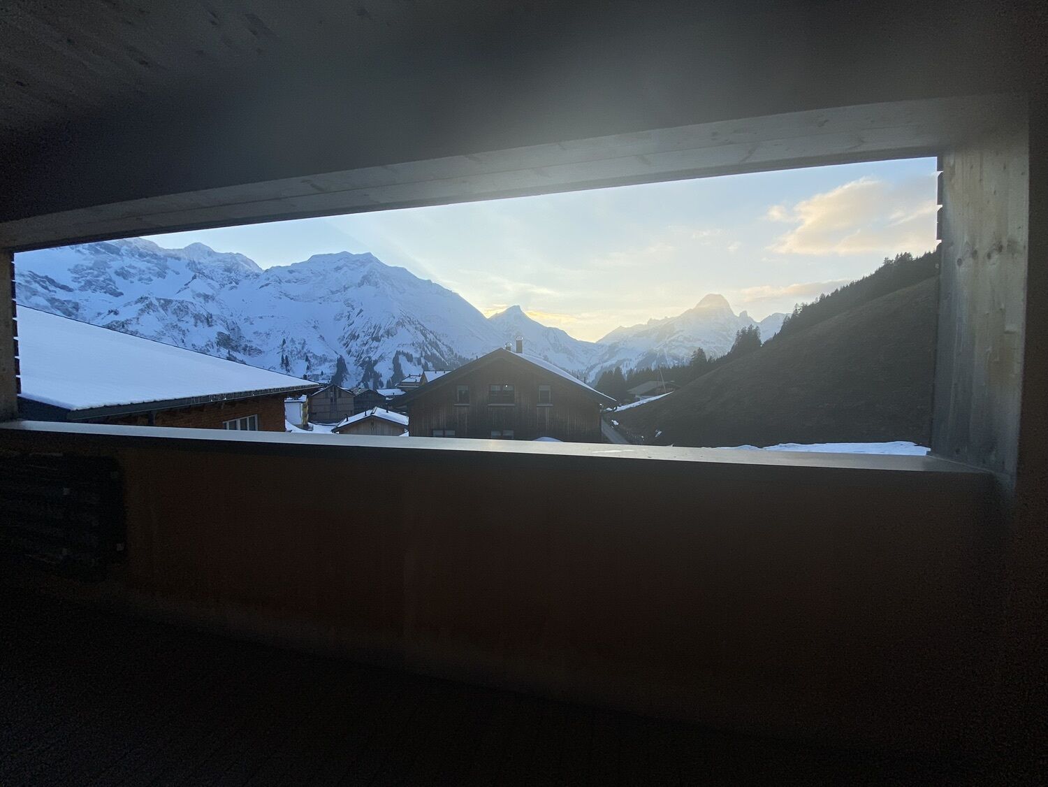
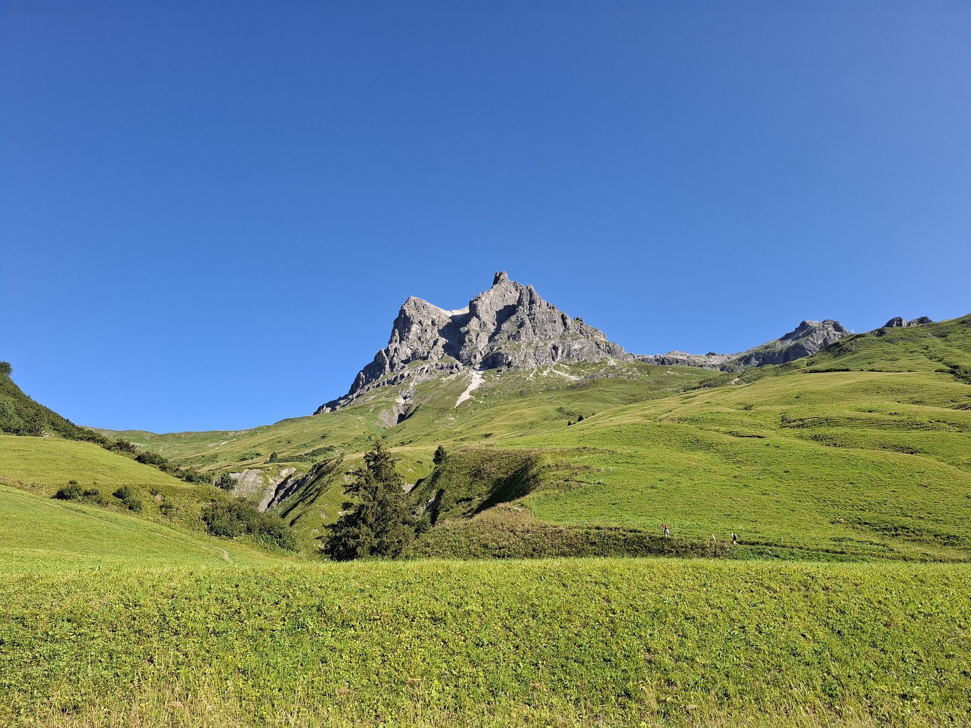
The L200 follows the valley to Schröcken, from there the track gradually climbs and offers some varied right-left combinations. The pass summit lies amidst a horizon-filling high alpine pasture with a...
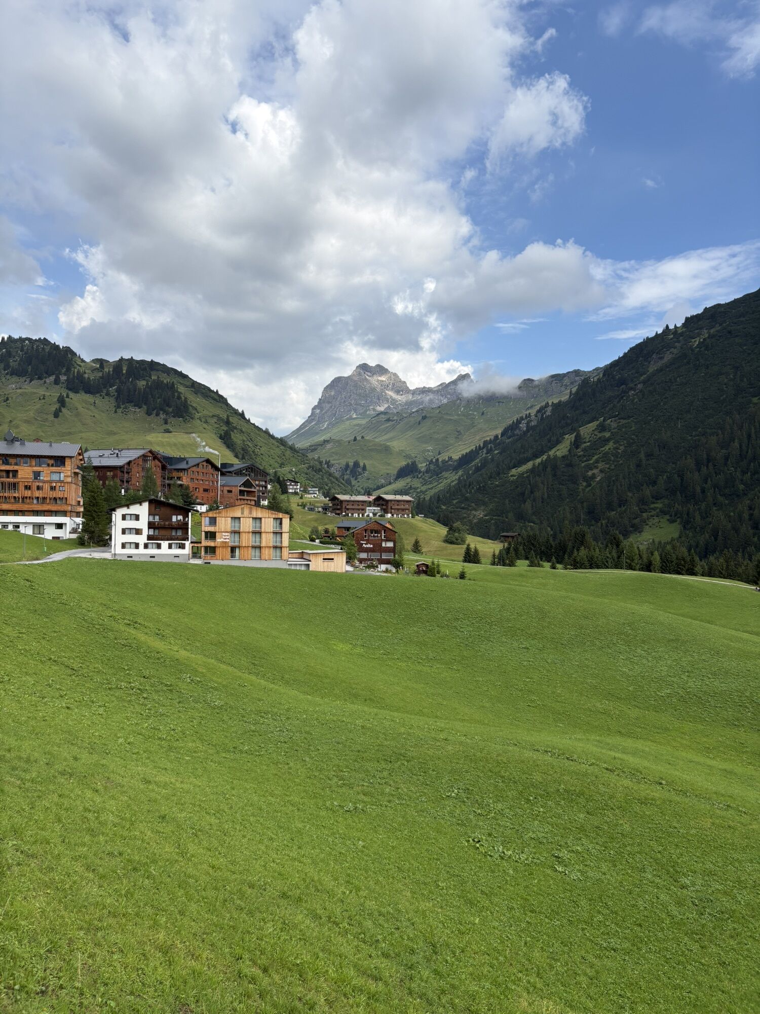
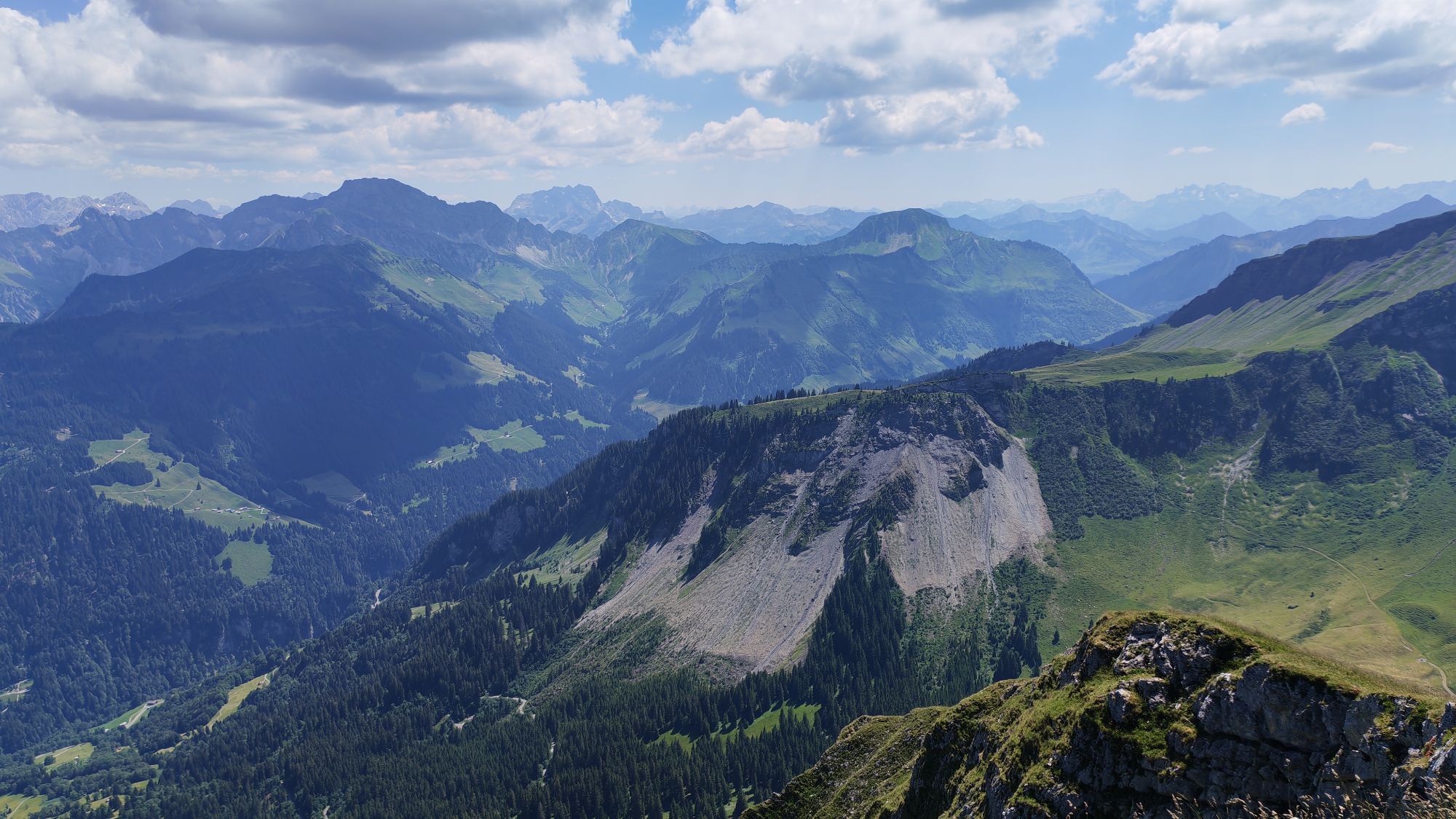
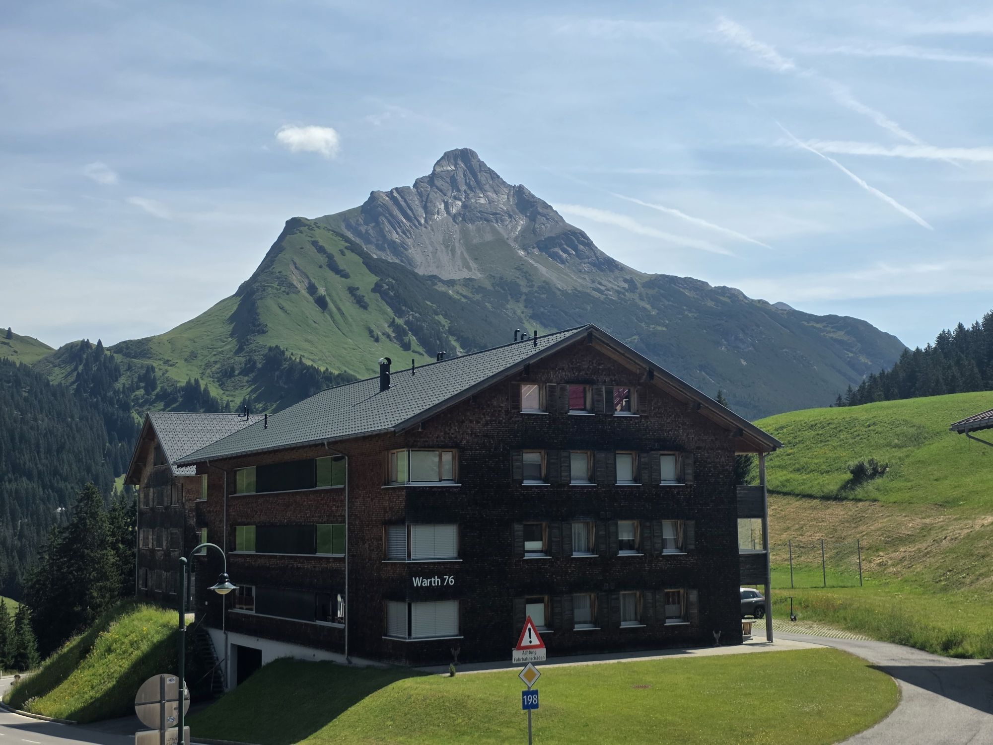
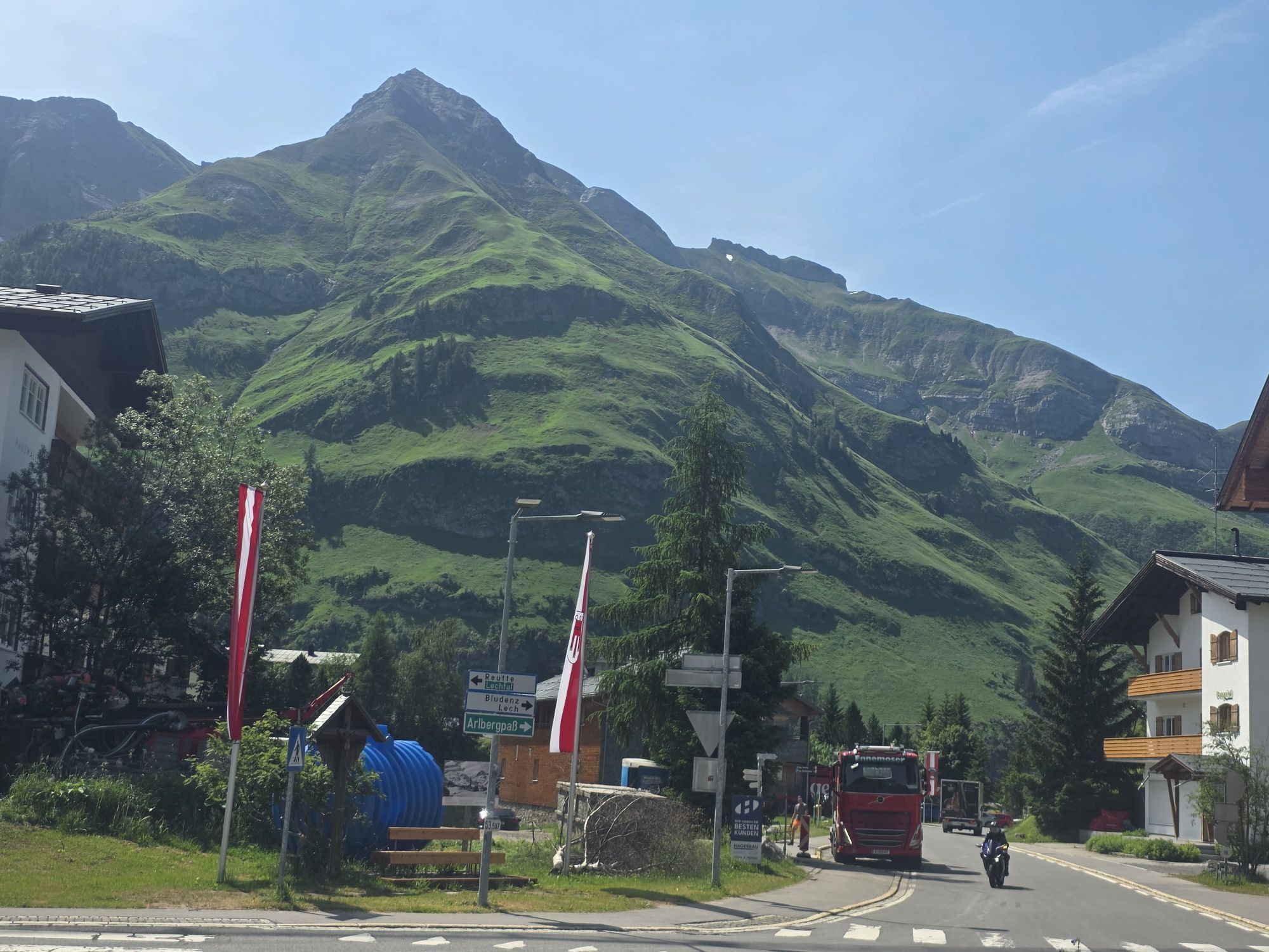
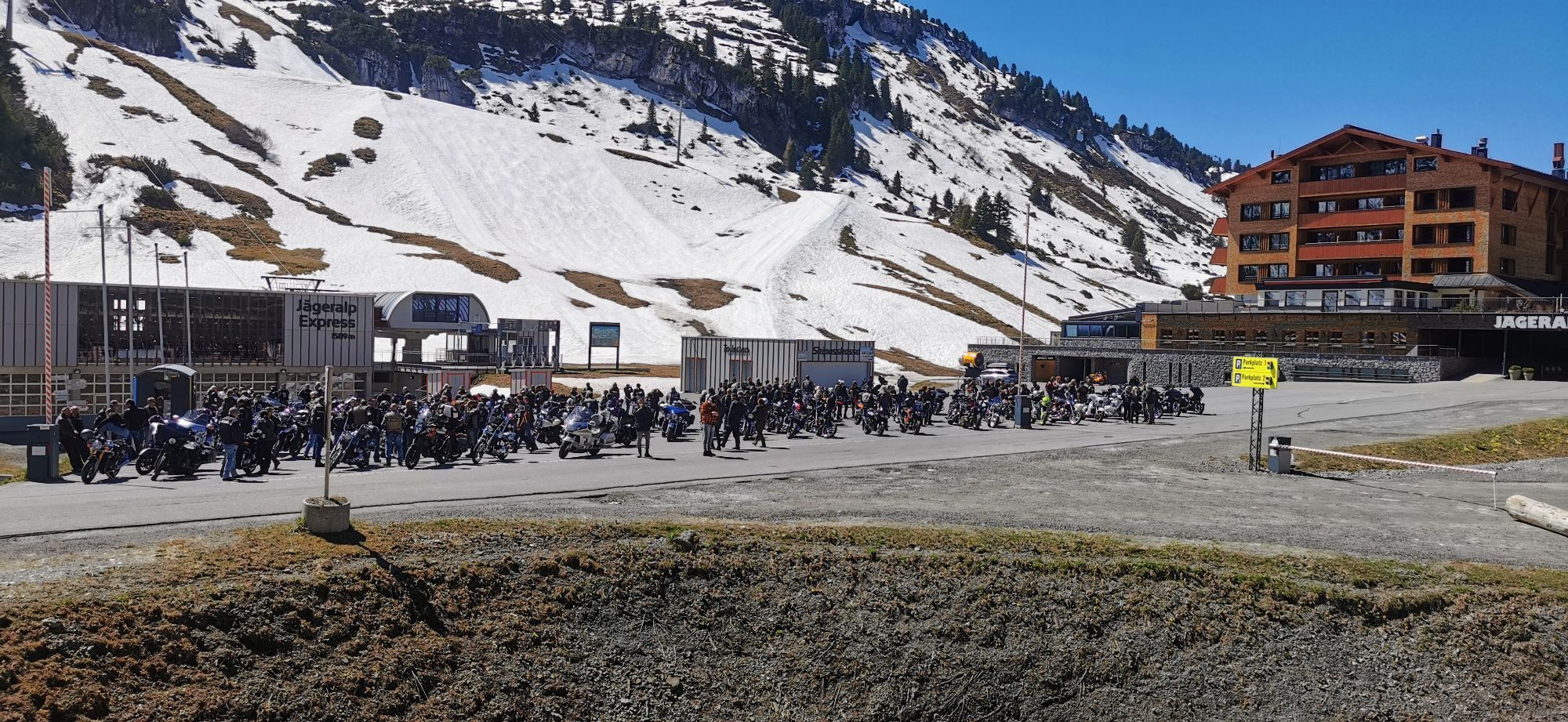
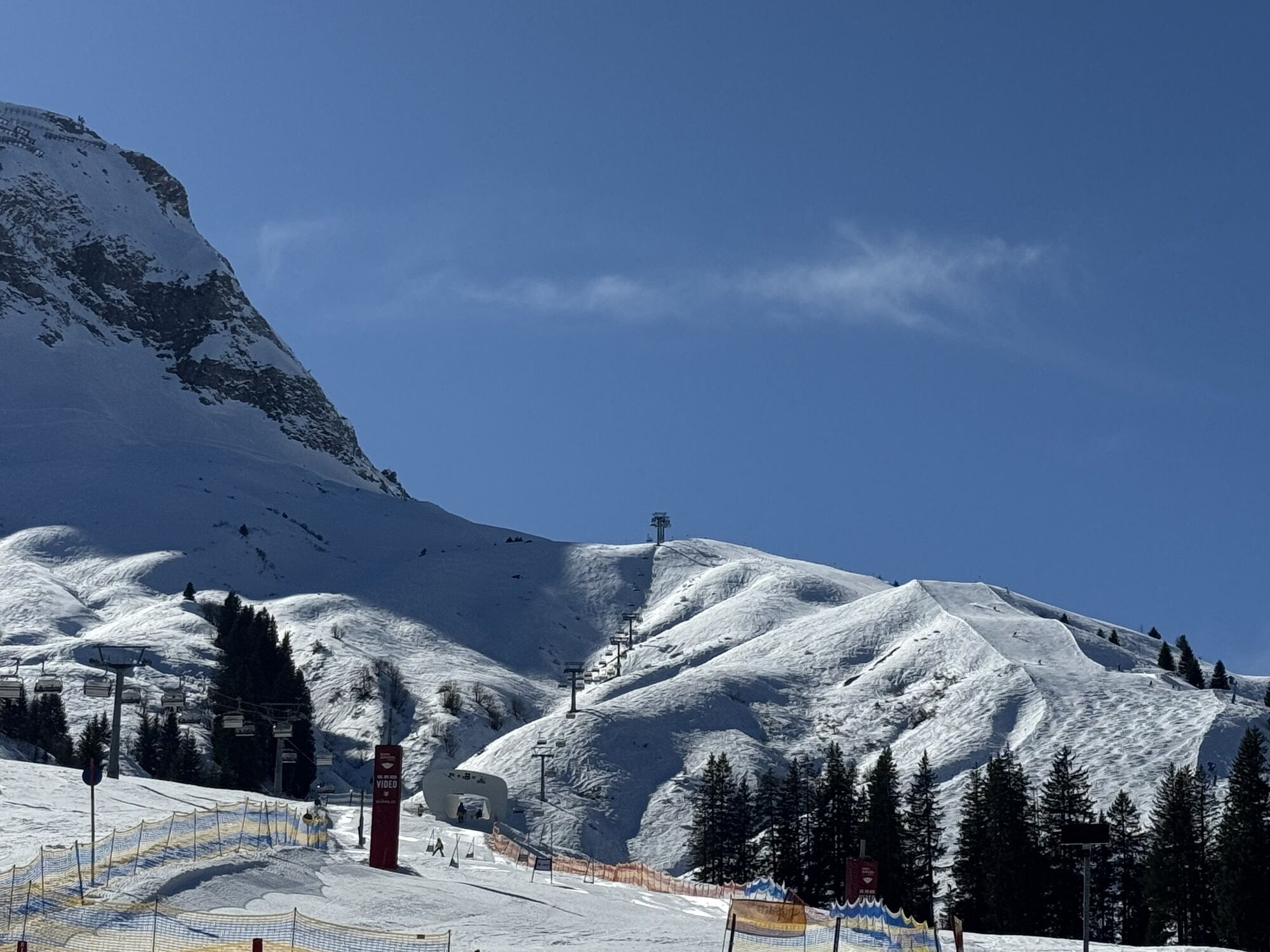
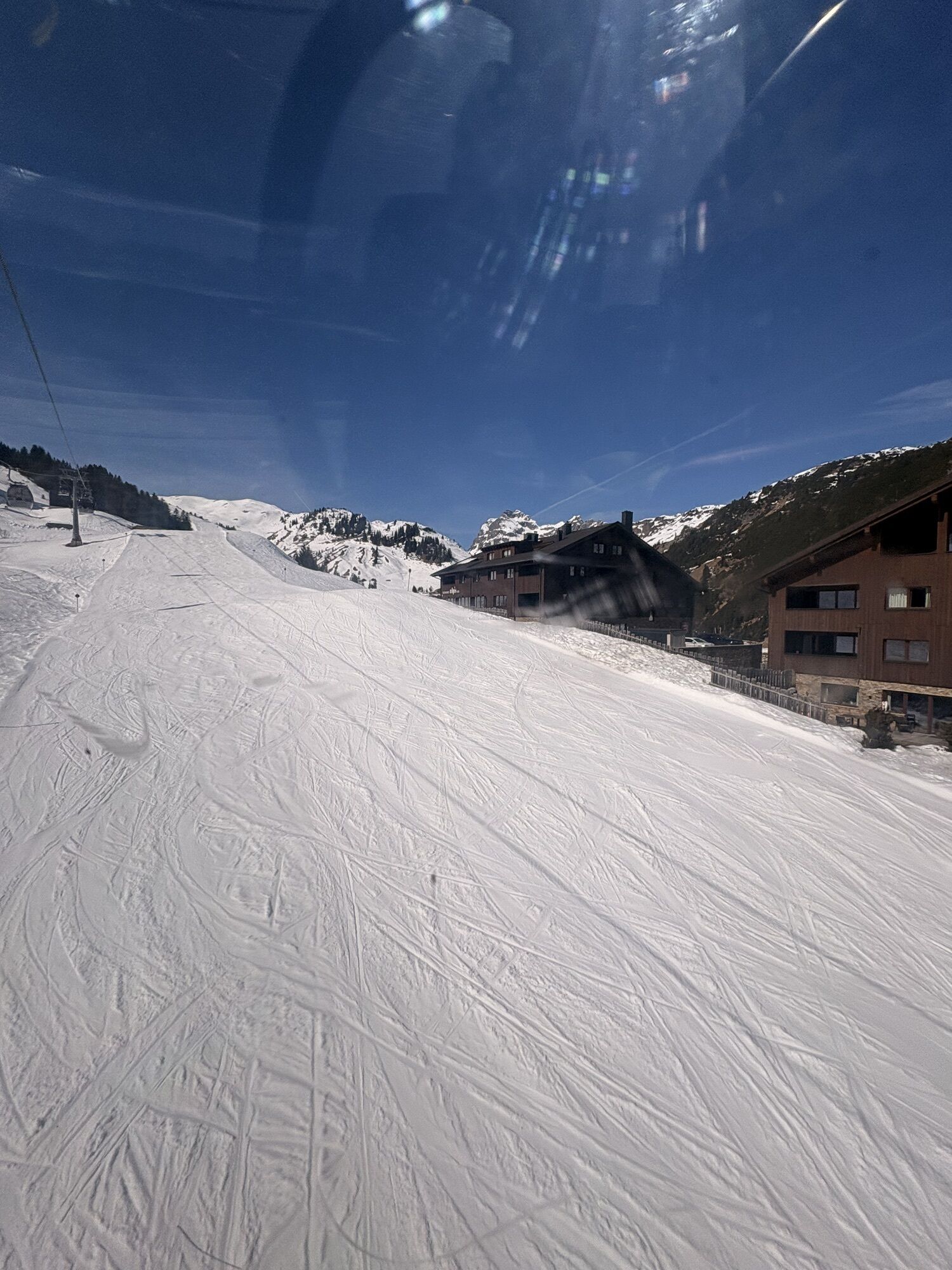
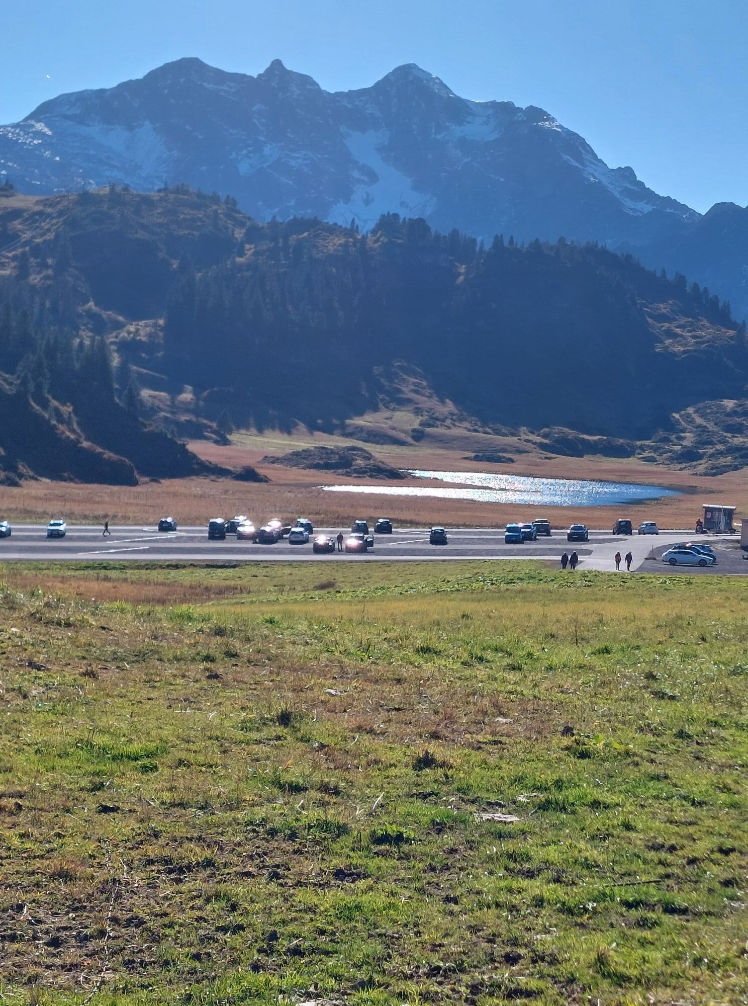
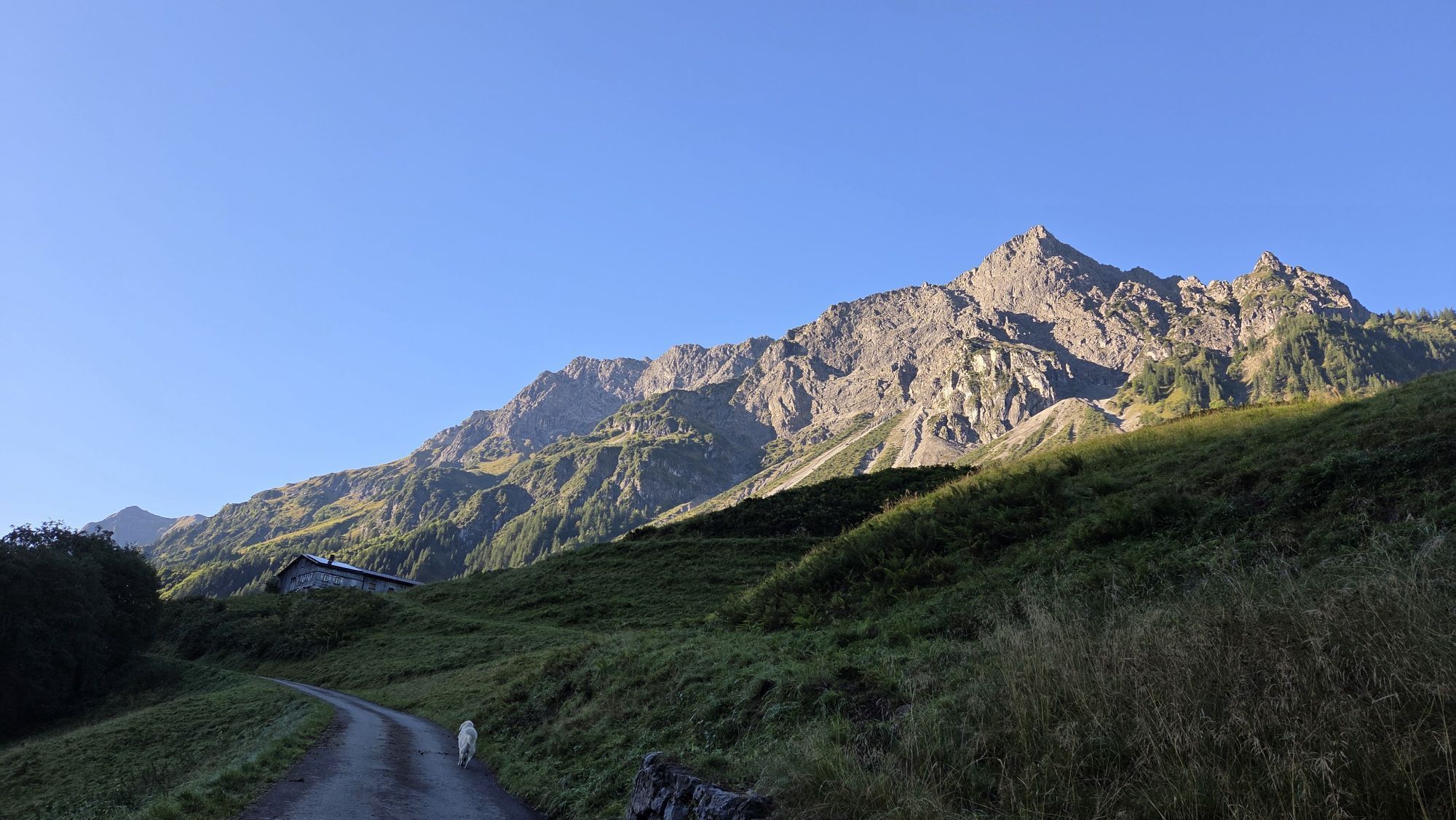
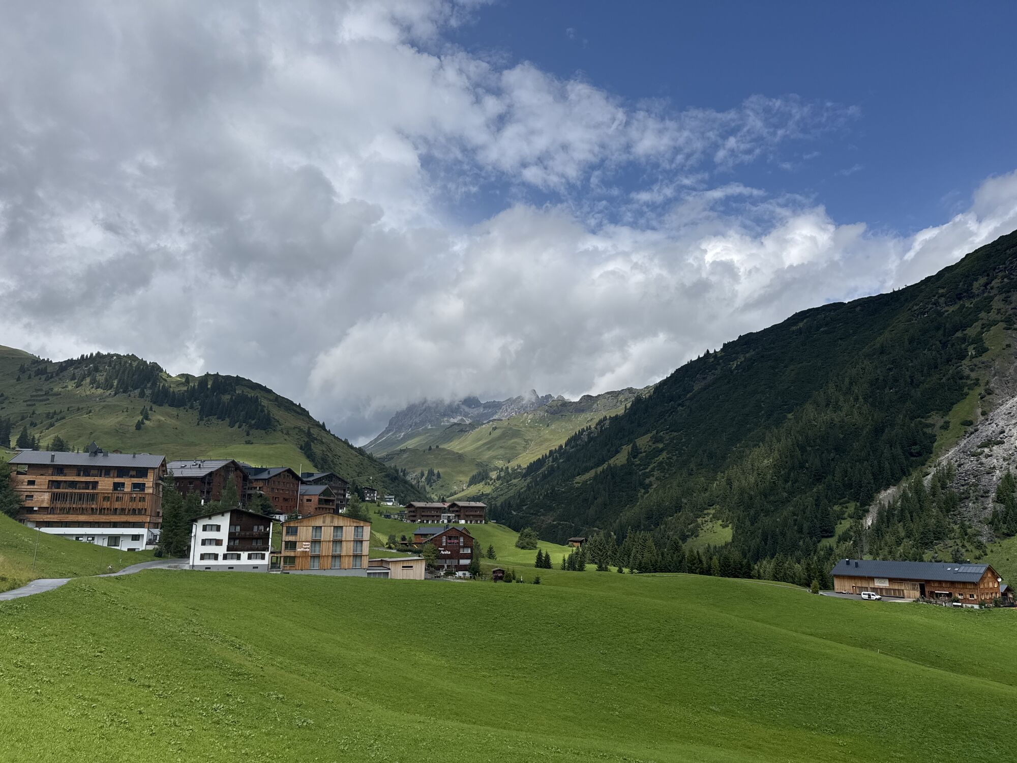
The L200 follows the valley to Schröcken, from there the track gradually climbs and offers some varied right-left combinations. The pass summit lies amidst a horizon-filling high alpine pasture with a lift station. Its parking lot is a popular biker meeting point in the region. To the east it descends towards Warth with its nice cafés and inns for a perfect stopover.
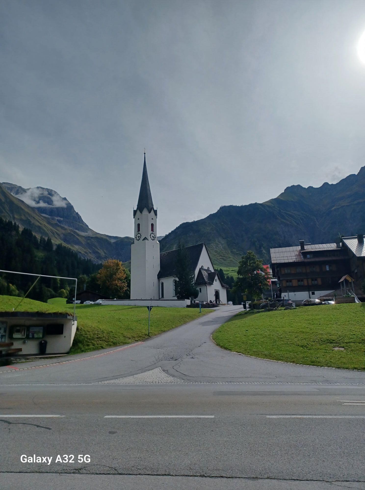
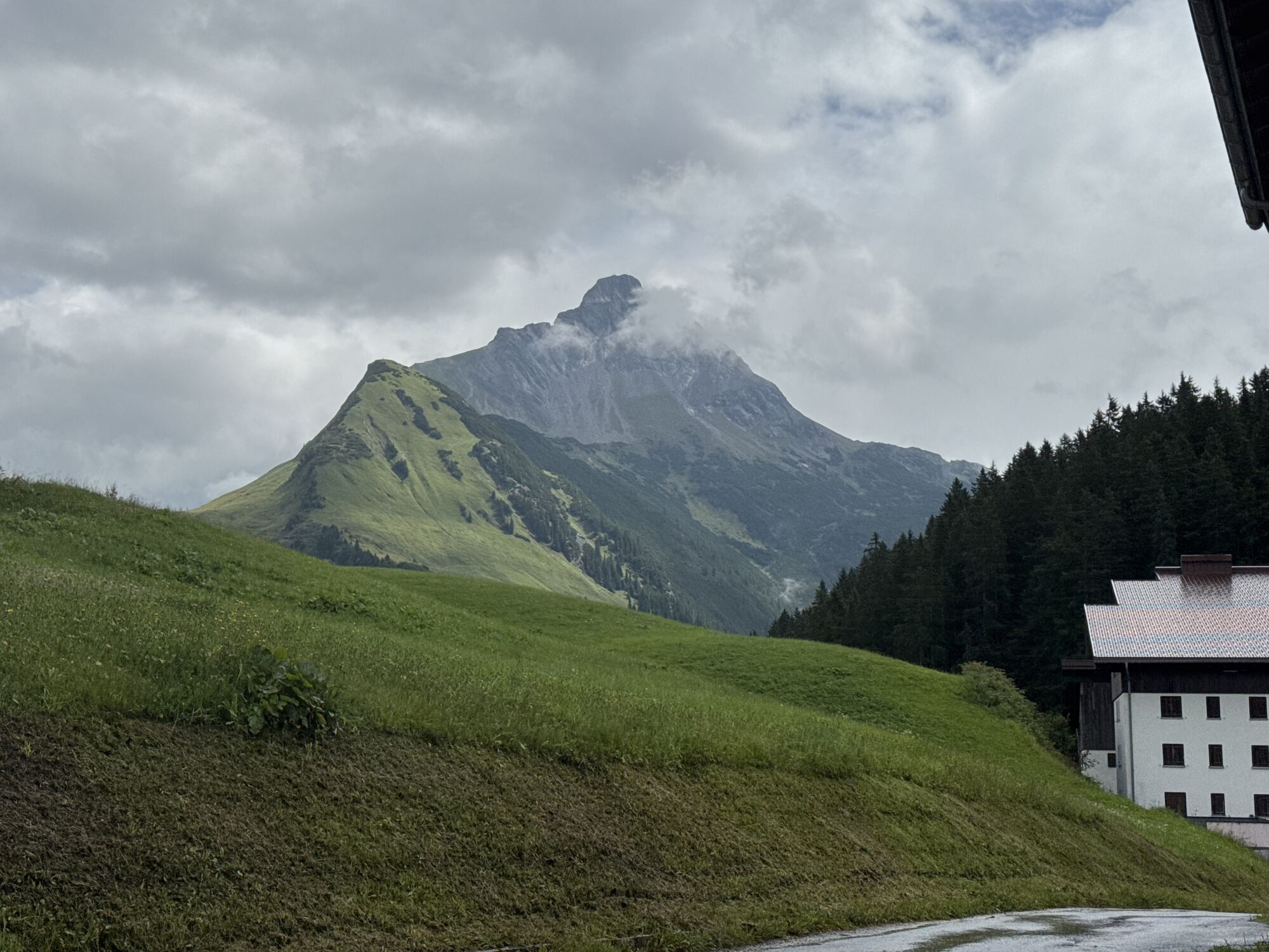
The romantic Walser village Warth lies idyllically nestled between its impressive local mountains Biberkopf, Widderstein, and Warther Horn. Coziness seems to be the priority here, as the diverse hiking and route offerings are garnished with countless stops at managed alpine huts, cafés, beer gardens, and sunny terraces with magnificent views. The mountain village Warth still remains largely away from mass tourism today.
ð Altitude 1676 m ð Elevation gain ð¢ 681m ð¢ 541m ð Average gradient ð¢ 4% ð¢ 5.4% ð Maximum gradient ð¢ 14.3% ð¢ 15%

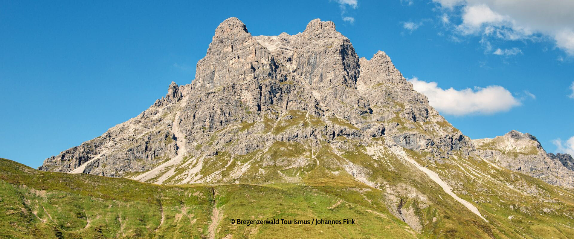
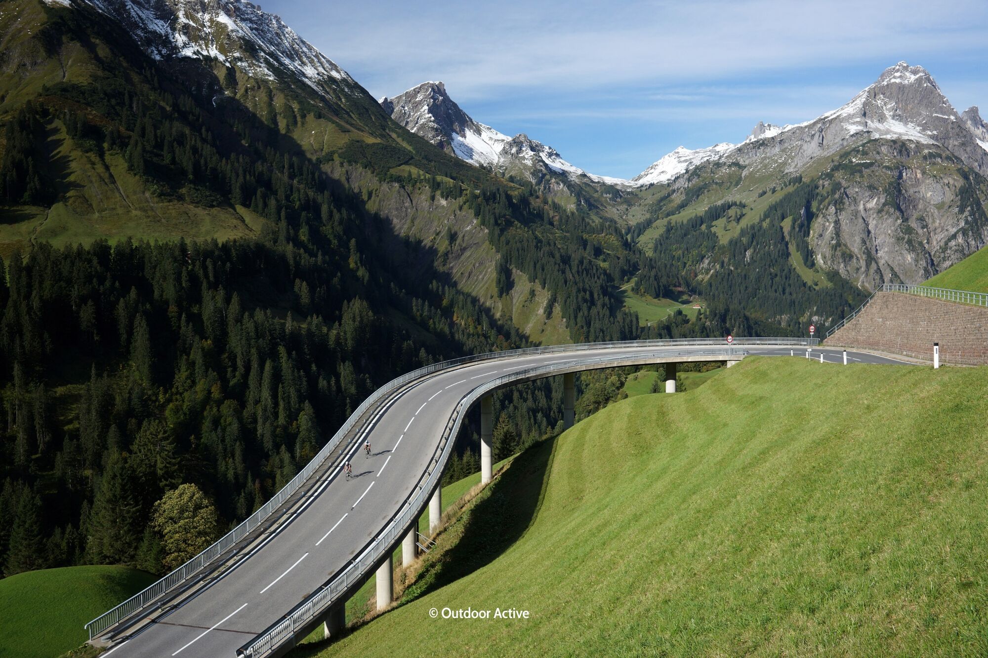
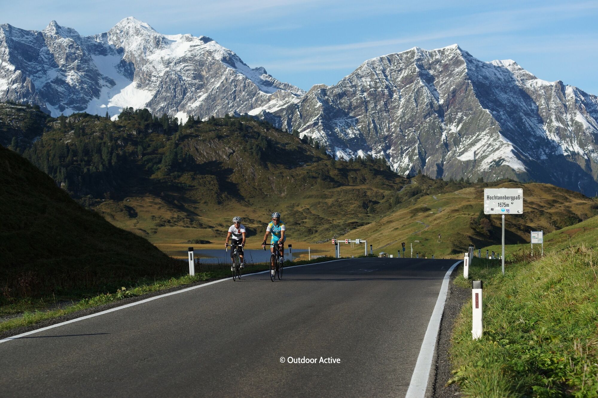

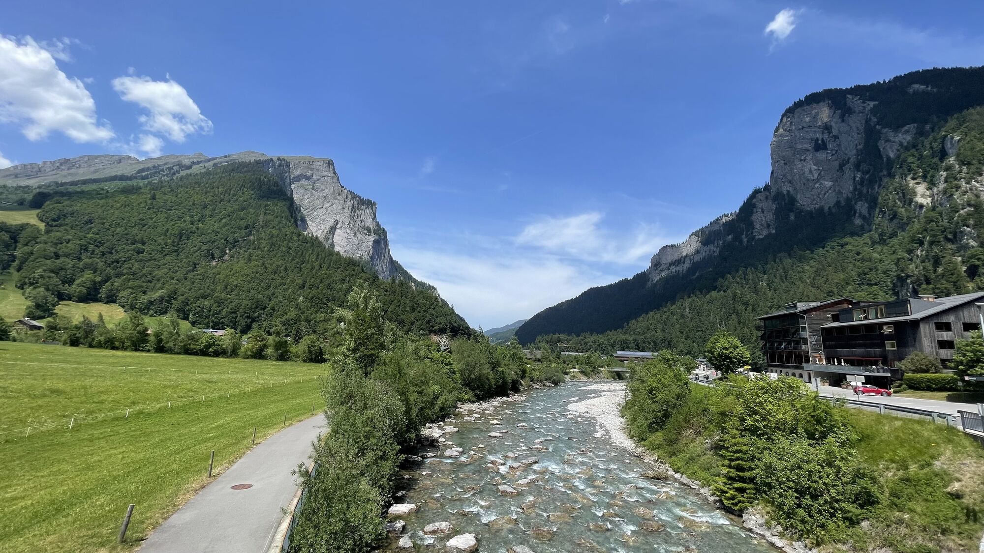
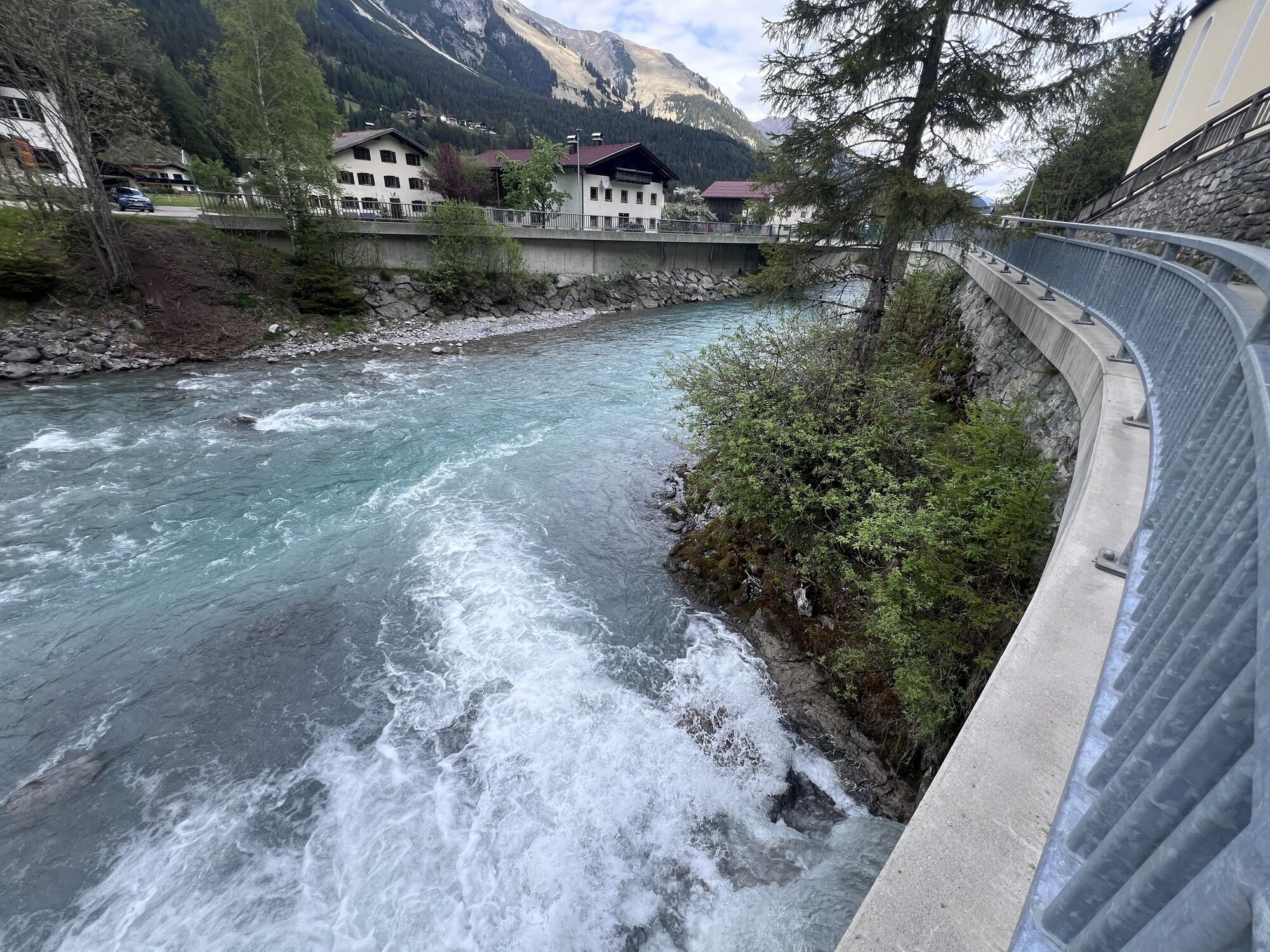
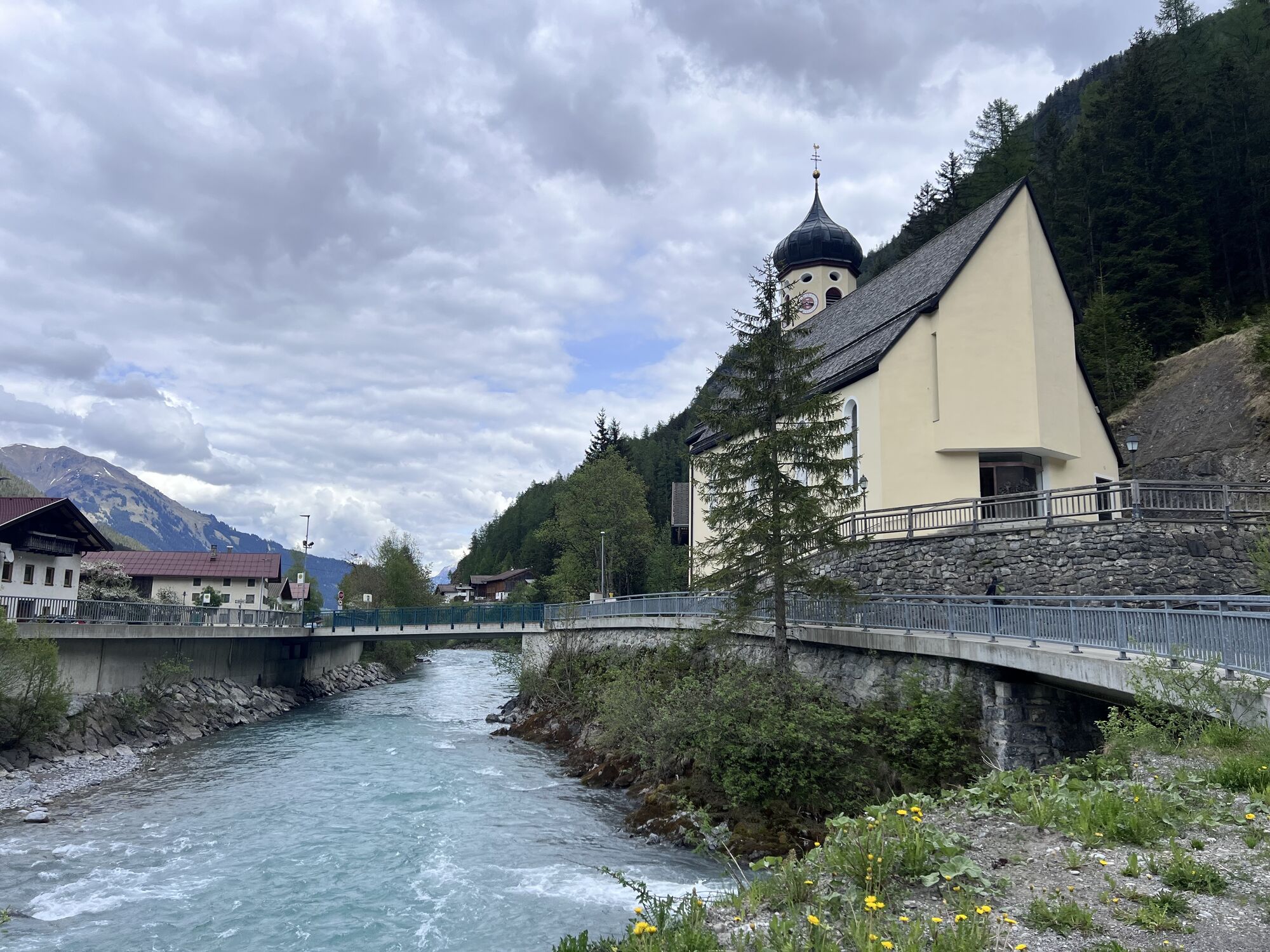
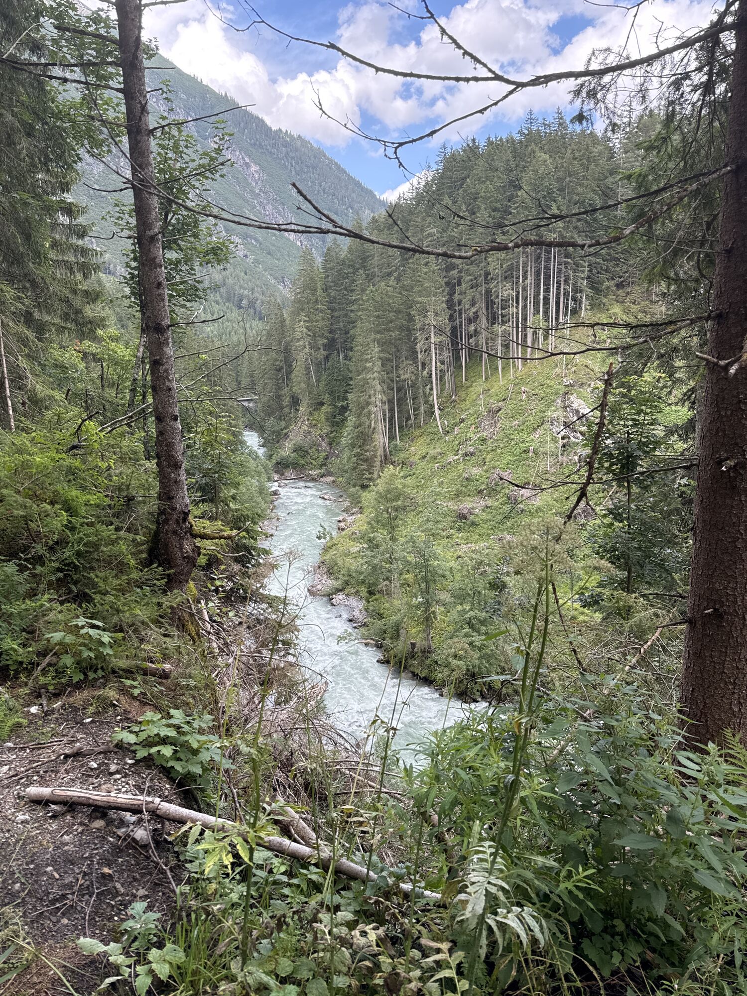
The actual pass begins in the small village of Au, where the roads split right to Furkajoch and Faschinajoch and straight ahead up to the Hochtannberg Pass. We follow the valley and the Bregenzer Ach, which today gently babbles along. It was very different in September 2005. Due to weeks of rain, the Ach had become a raging river and devastated the village of Au terribly. Even the main road in the village was completely washed away over a length of more than 400m. The L200, also known as Bregenzerwaldstrasse, follows the increasingly narrow valley westwards to Schröcken, only occasionally interrupted by an avalanche gallery. From the village of Schröcken, the road gains height increasingly and in numerous hairpin bends and daring bridge constructions it goes uphill until the pass summit is reached after 5 km in a treeless green high valley. Two parking lots, a lift station, some buildings, and that's it. The pass sign is located exactly between the two parking lots and if you don't pay close attention, you might drive past it.
Áno
Áno
Motorcycle: ⤠Motorcycle helmet ⤠Motorcycle gloves ⤠Motorcycle boots ⤠Motorcycle jacket and trousers
Convertible: ⤠Baseball cap ⤠Sunscreen ⤠Sunglasses ⤠Convertible ?!?!
always pay attention to the road surface
You reach the Hochtannberg Pass coming from Lake Constance via Bregenz, always following the Bregenzer Ach eastwards, or from the Lech Valley from Reutte heading southwest via Warth. Located in Vorarlberg, this road connects the Bregenzerwald with the Lech Valley. We describe the Hochtannberg Pass from Bregenz because we stayed with Manfred at the Gasthof Kaltenbrunnen above the small village of Egg at 1,000m.
better with motorcycle or convertible
1
You reach the Hochtannberg Pass coming from Lake Constance via Bregenz, always following the Bregenzer Ach eastwards, or from the Lech Valley from Reutte heading southwest via Warth. Located in Vorarlberg, this road connects the Bregenzerwald with the Lech Valley. We describe the Hochtannberg Pass from Bregenz because we stayed with Manfred at the Gasthof Kaltenbrunnen above the small village of Egg at 1,000m.
Since 2007, this mountain pass road in the Austrian state of Vorarlberg has been presented in a modernized condition.
Webové kamery z prehliadky
-
Diedamskopf Mittelstation / Wedelstube
-
Diedamskopf Bergstation
-
Warth / Hotel Walserberg
-
Breitenalpe
-
Au im Bregenzerwald
-
Mindelheimer Hütte
-
Au - Hollandheim
-
Au - Hotel Post
-
Schoppernau Unterdorf
-
Holzgau - Pension Knitel
-
Warth-Schröcken - Saloberarena
-
Warth-Schröcken - Saloberjet
-
Schröcken
-
Au-Schoppernau
-
Schoppernau Gemeindezentrum - Loipen
-
Schoppernau - Schrannen-Hof
-
Schoppernau - Schrannen-Hof
-
Schoppernau - Schrannen-Hof
-
Körbersee
-
Mittelberg - Bergpension Starzelhaus
-
Warth-Schröcken - Widdersteinhütte
-
Camping Austria - Au
-
Schoppernau - Appartement BergZeit
-
Lech am Arlberg
-
Lech - Wöstersattel
-
Skischule Warth
-
Warth
-
Alpenwald
Získajte prehľad
Vždy naživo na mieste s viac ako 9 500 webovými kamerami. bergfex Ako používateľ Pro si teraz môžete pozrieť príslušné webové kamery pre mnohé zájazdy v aplikácii zájazdy z. Môžete si tak priamo prezerať aktuálne podmienky.

Obľúbené výlety v okolí
-
4,5
Mountain tour over the Fellhorn ridge
strednáTuristika 8,24 km -
4,7
Widderstein Runde von Baad
strednáTuristika 15,8 km -
4,4
Circular hike through the Bärgunttal
strednáTuristika 4,75 km -
4,8
Biberkopf
ťažkéTuristika 7,70 km -
4,4
Kanzelwand- Fellhorn- Kanzelwand
svetloTuristika 7,60 km -
4,2
Hiking through the Schwarzwassertal via Melköde to the Schwarzwasserhütte
strednáTuristika 5,08 km -
4,4
Circular hike through the Derratal
strednáTuristika 8,11 km -
4,8
Circular hike through the Gemsteltal
svetloTuristika 5,53 km -
3,5
Mountain tour over the Hoher Ifen
ťažkéTuristika 14,3 km -
4,6
Ifenhütte, Hahnenköpfle, Gottesacker und zurück
strednáTuristika 6,08 km
Turistika a stopovanie


Nenechajte si ujsť ponuky a inšpiráciu na ďalšiu dovolenku
Vaša e-mailová adresa bol pridaný do poštového zoznamu.





