


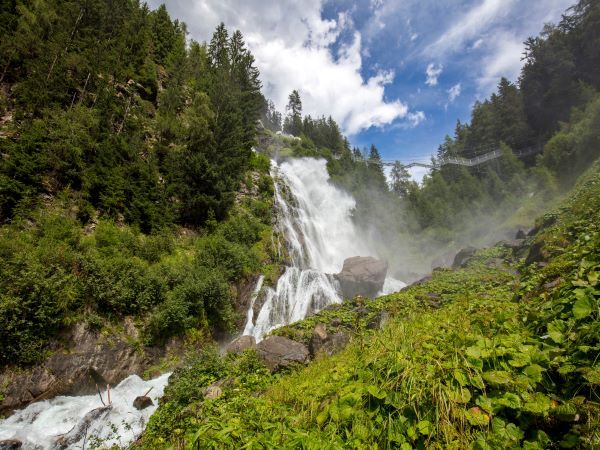
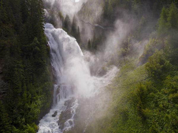
6048 Stuibenfall
The starting point of the route is at the Mure parking lot, in the village center of Umhausen. From there, you cycle toward the church and turn left onto Sandgasse at the bridge. You cycle alongside the...
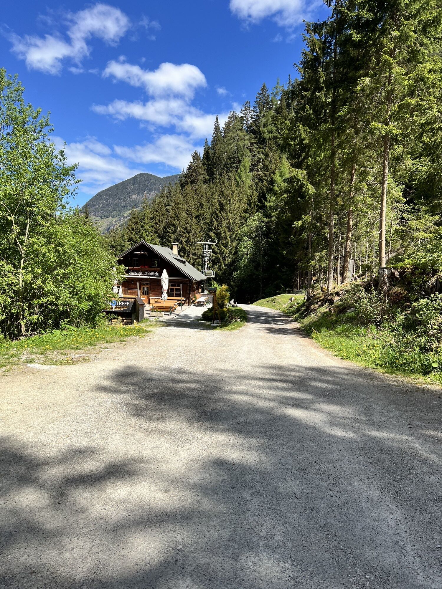
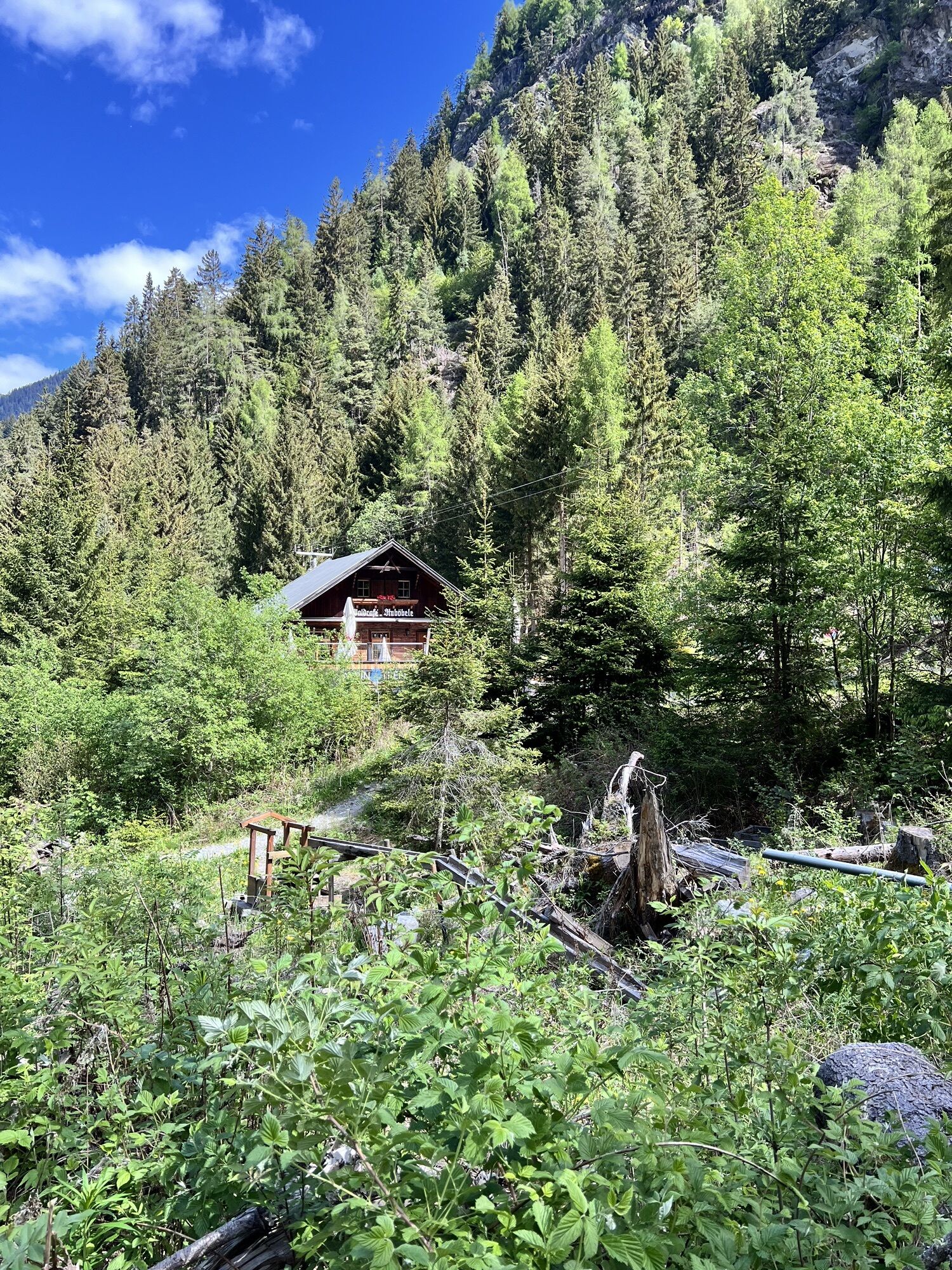
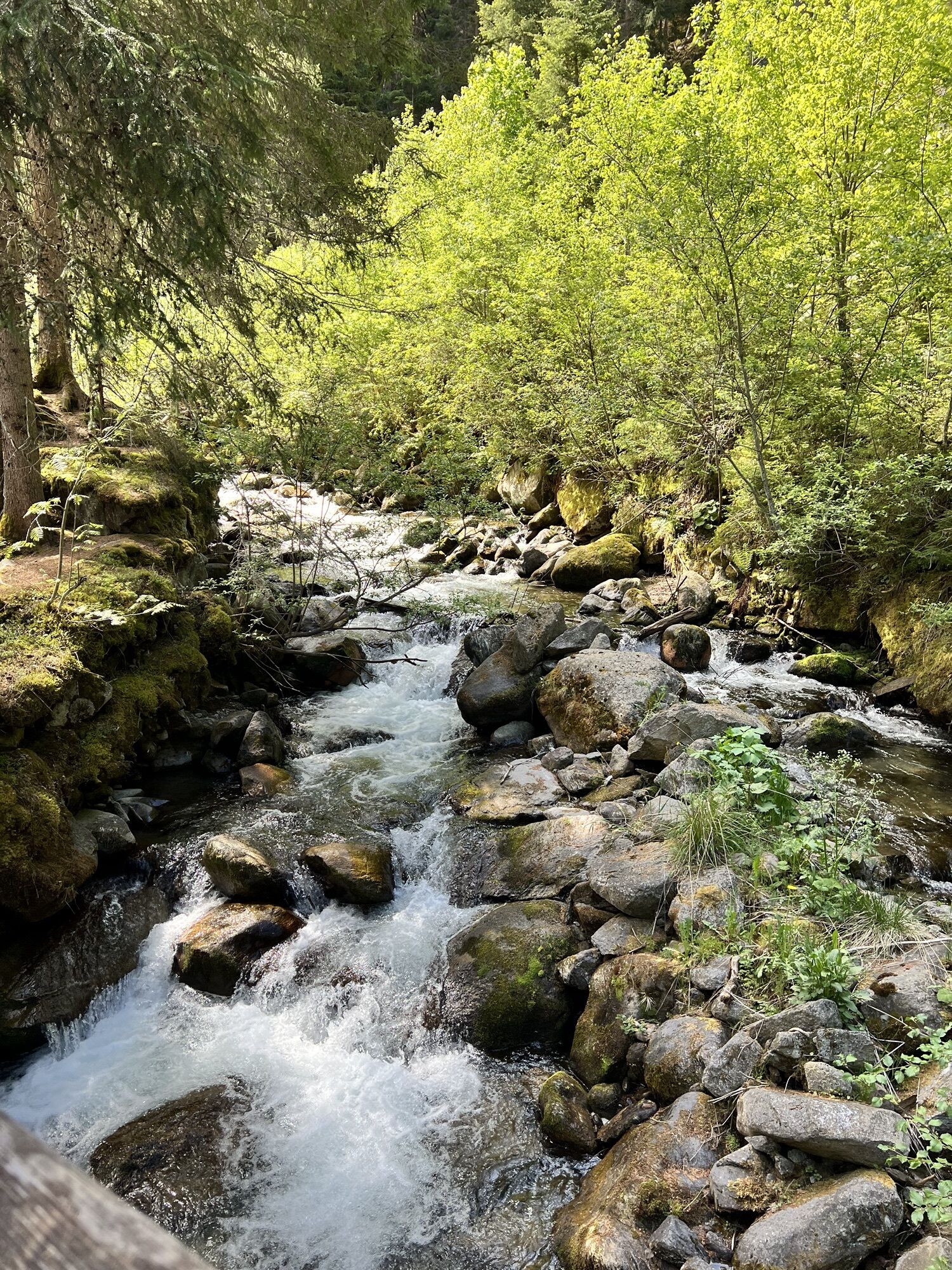
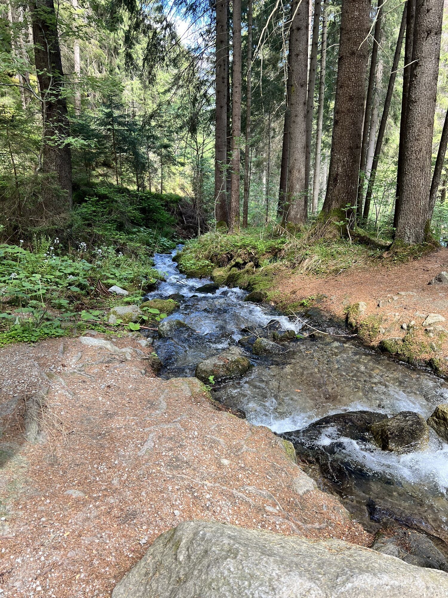
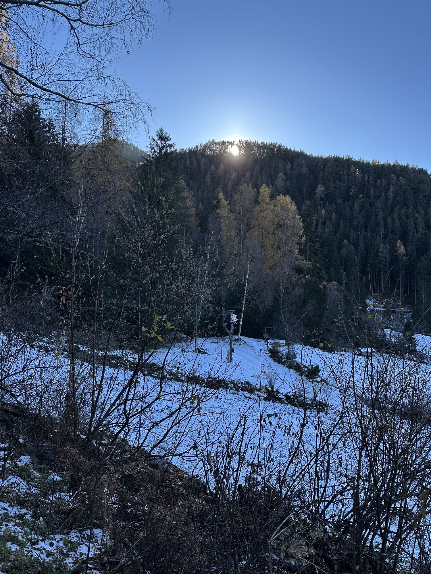
The starting point of the route is at the Mure parking lot, in the village center of Umhausen. From there, you cycle toward the church and turn left onto Sandgasse at the bridge. You cycle alongside the village creek until you reach an intersection where you choose the middle of the three streets. Follow the street until you reach the fields. Here, take the left road and cycle leisurely along the paved path, which soon turns into a gravel path. Pass by the legendary "Stuibennannele" to the forest cafe Stuböbele. At the bridge, leave your bike and walk the last meters to the base of the waterfall. There, admire the unique natural spectacle.

Áno
Appropriate equipment such as breathable clothing and weather-appropriate outdoor gear, bike helmet, gloves, sunglasses, and a GPS device or map material. For bike routes without refreshment options, sufficient provisions are necessary.
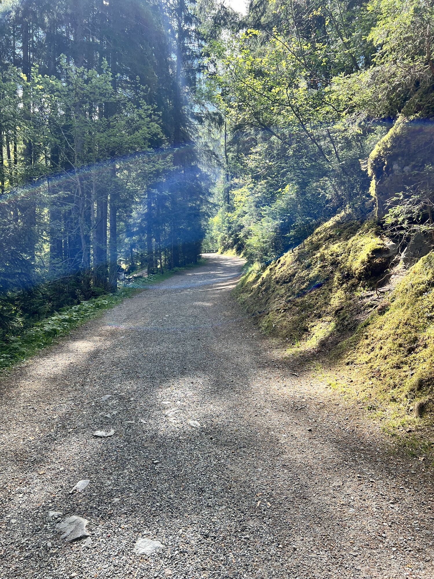
Family-friendly bike or mountain bike route also suitable for normal bicycles with good road surface (gravel, asphalt, and similar ground). The gentle ascents do not demand special endurance or riding skills. The focus is on enjoyable cycling.
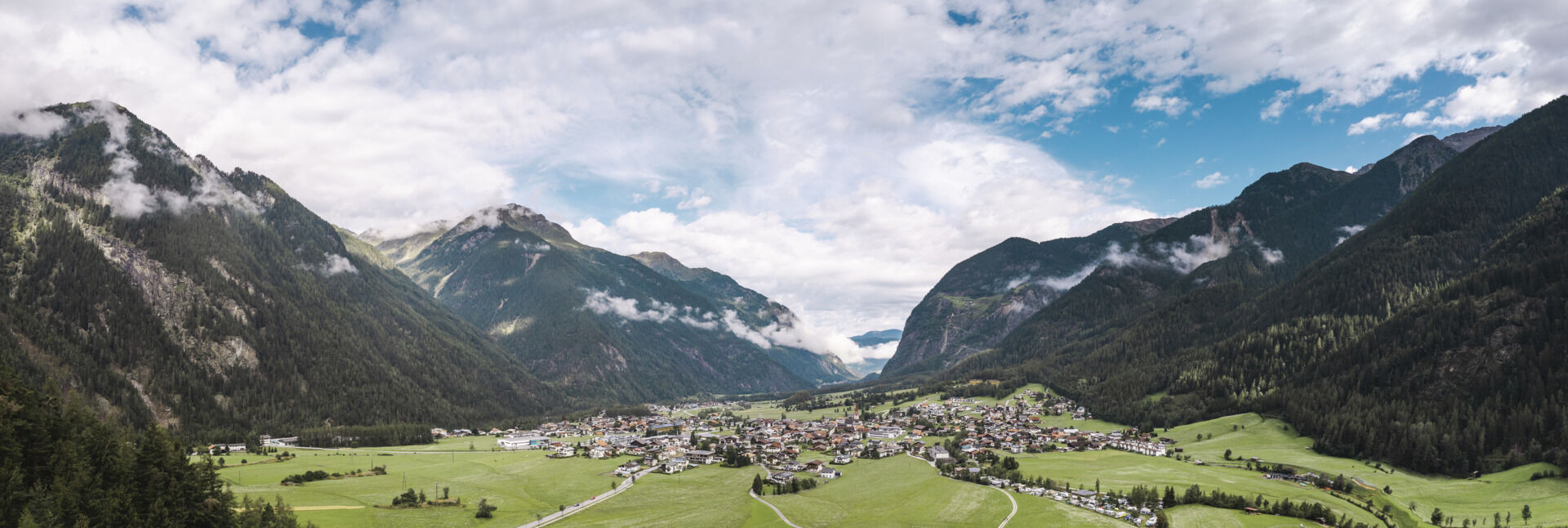
Driving to the ÖTZTAL. Located in Tyrol, the ÖTZTAL branches southward as the longest side valley of the Eastern Alps. Travelers approach by car via the Inn valley to the valley entrance and continue along the Ötztal. Besides the toll motorway, country roads can also be used. You can quickly and conveniently plan your drive with the route planner.
Route planner: https://www.google.at/maps.
Travel comfortably and safely by train to the Ötztal train station. The final stop or exit point is the ÖTZTAL station. Afterwards, you can conveniently and quickly travel by public transit or local taxi services throughout the valley to your desired destination! The current bus schedule is available at: fahrplan.vvt.at
The following parking options are available in Umhausen:
Mure parking lot, free of chargeThis route follows developed paths and is easily rideable with a motorized e-mountain bike or a classic mountain bike without motor assistance.
Obľúbené výlety v okolí
-
4,5
Winnebachsee Hut – Längenfeld/Gries
strednáTuristika 4,74 km -
4,2
Hike Stuibenfall - Umhausen
svetloTuristika 2,95 km -
4,4
Stuibenfall Umhausen circular hike
svetloTuristika 9,32 km -
4,4
Rundwanderung Hängebrück3
svetloTuristika 6,32 km -
4,5
Oetz - Piburger See - Oetz
strednáTuristika 7,16 km -
4,7
Winter circular route Brandalm/Burgstein - Längenfeld 204
strednáZimná turistika 5,44 km -
4,3
Lampsenspitze, Sellrain, Tirol
strednáSkitour 4,97 km -
4,3
Amberger Hut - Längenfeld/Gries
strednáTuristika 5,60 km -
4,7
Summit route Faltegartenköpfl
strednáTuristika 4,04 km -
4,6
Umhausen - Stuibenfall - Umhausen
strednáTuristika 7,94 km
Turistika a stopovanie


Nenechajte si ujsť ponuky a inšpiráciu na ďalšiu dovolenku
Vaša e-mailová adresa bol pridaný do poštového zoznamu.