







Enduro Silbertal - I
Úroveň náročnosti: S3
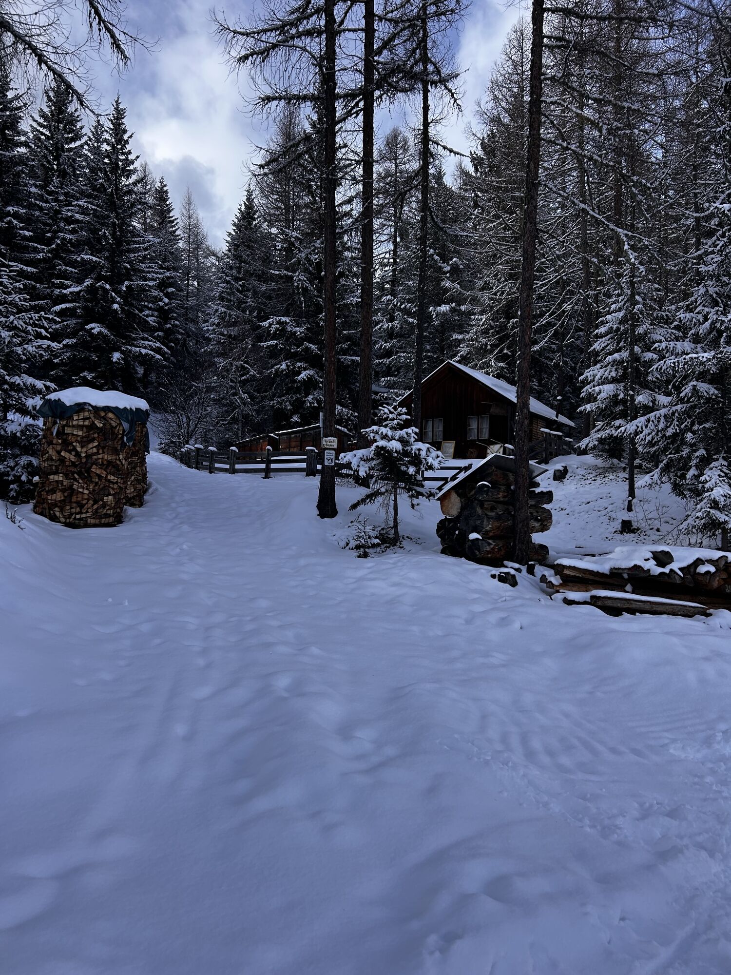
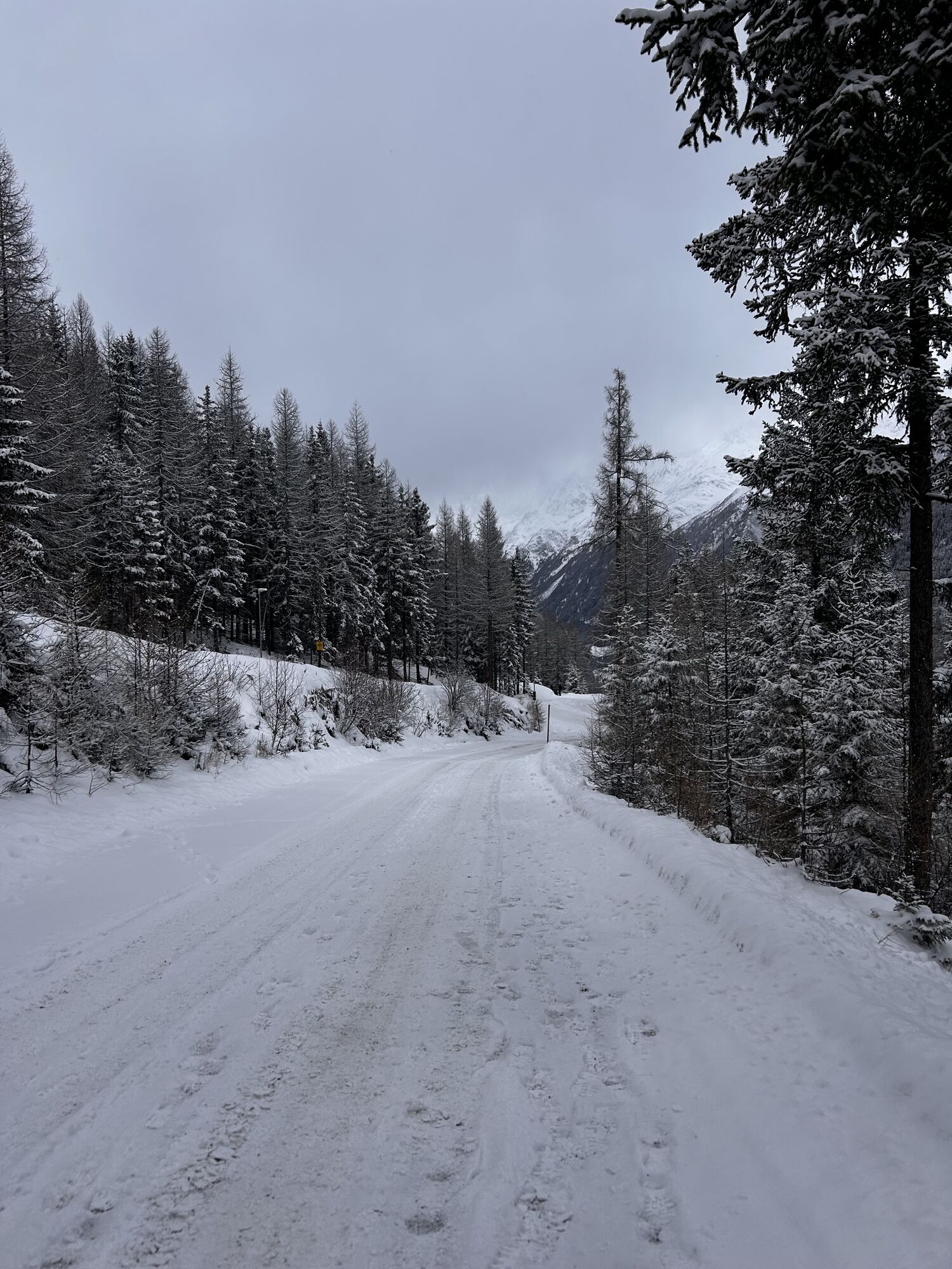
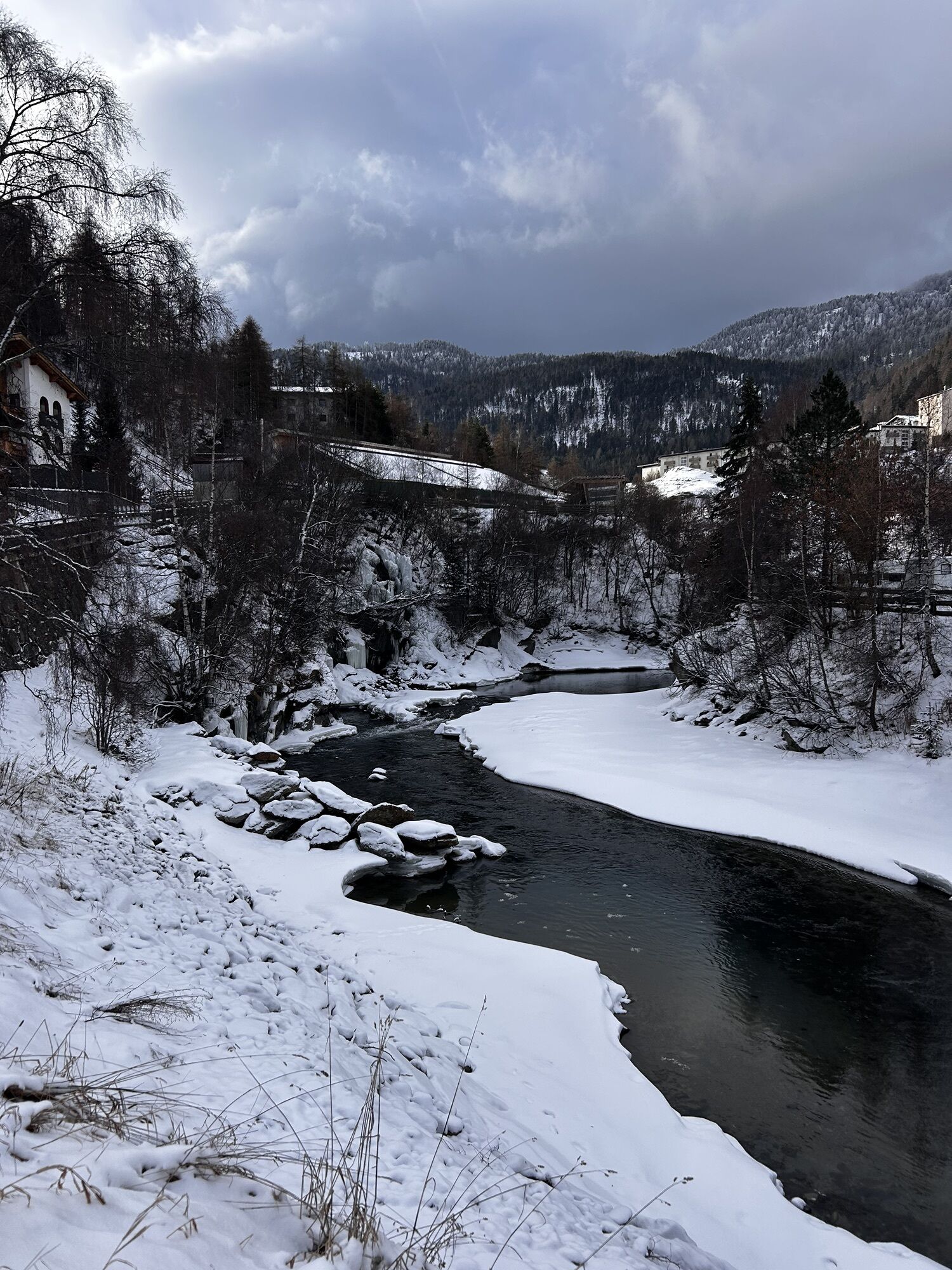

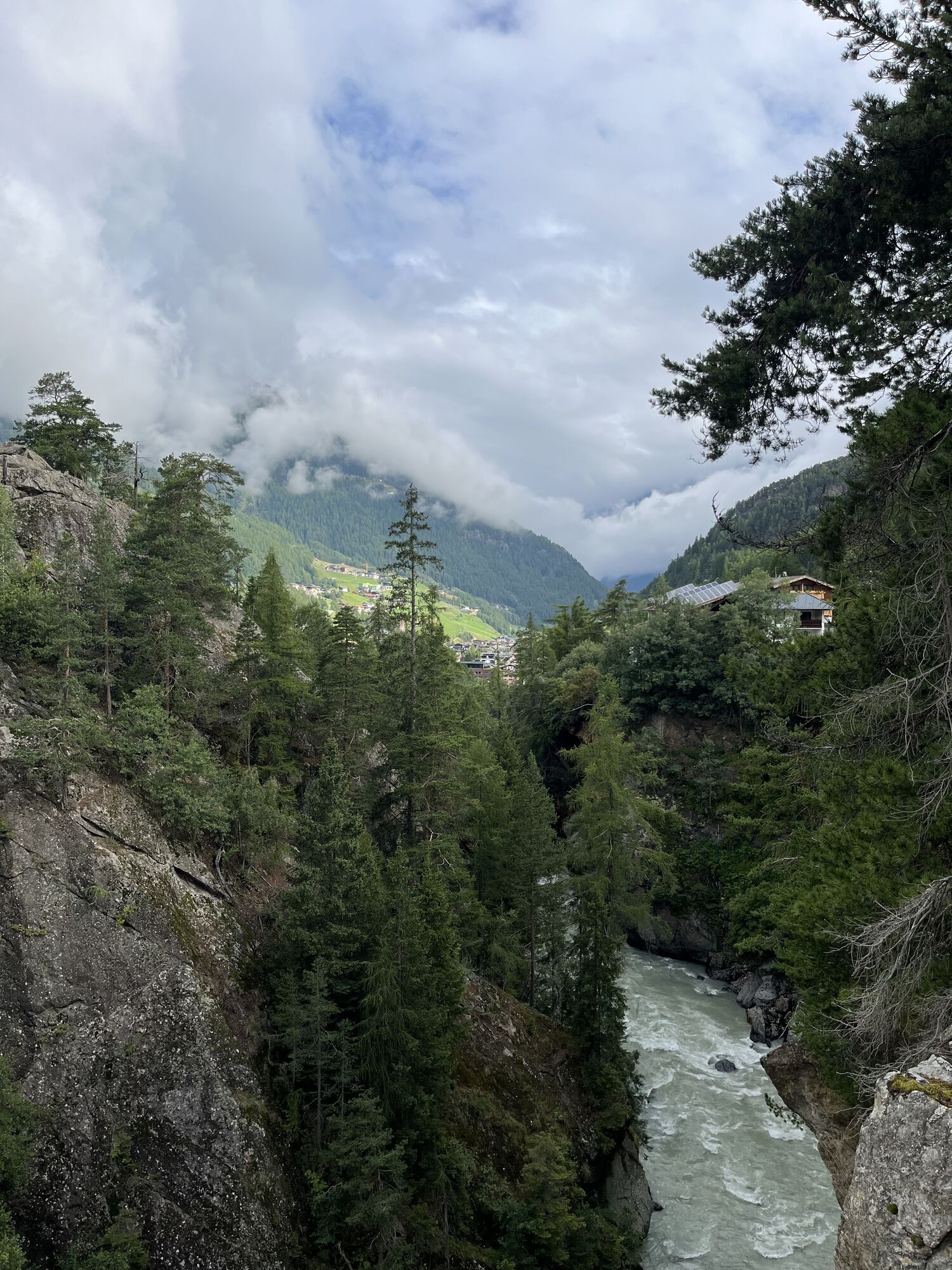
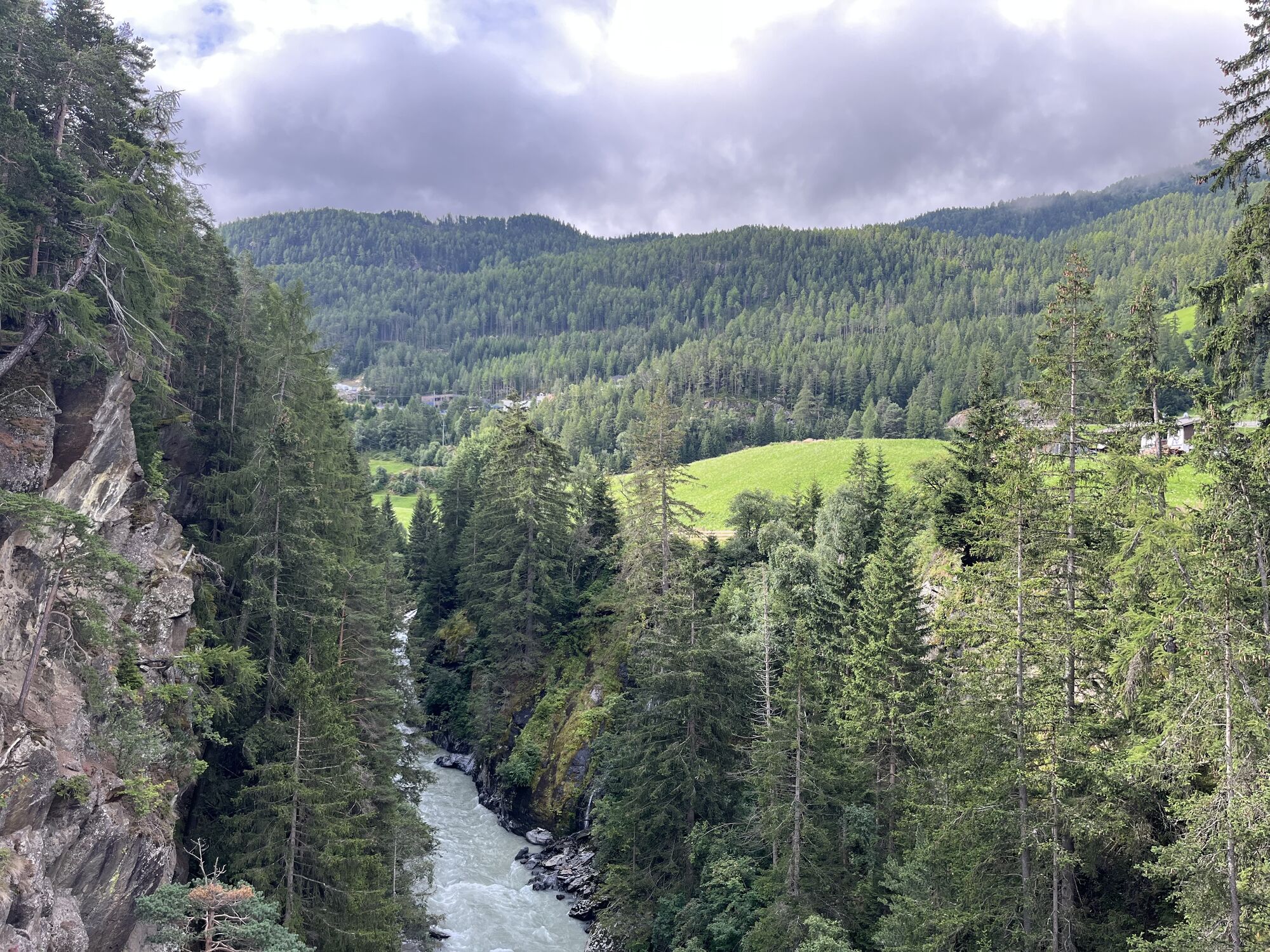

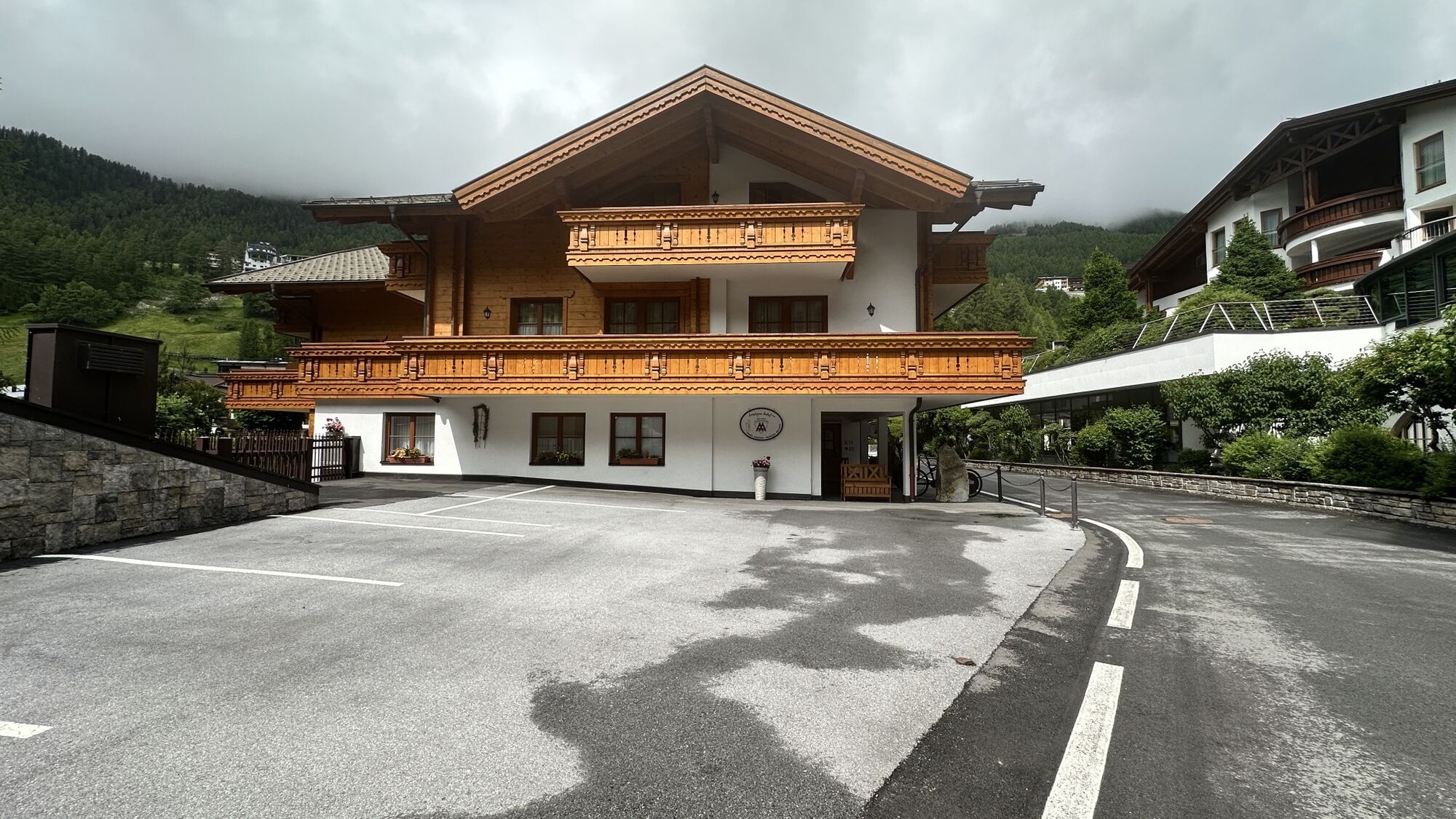
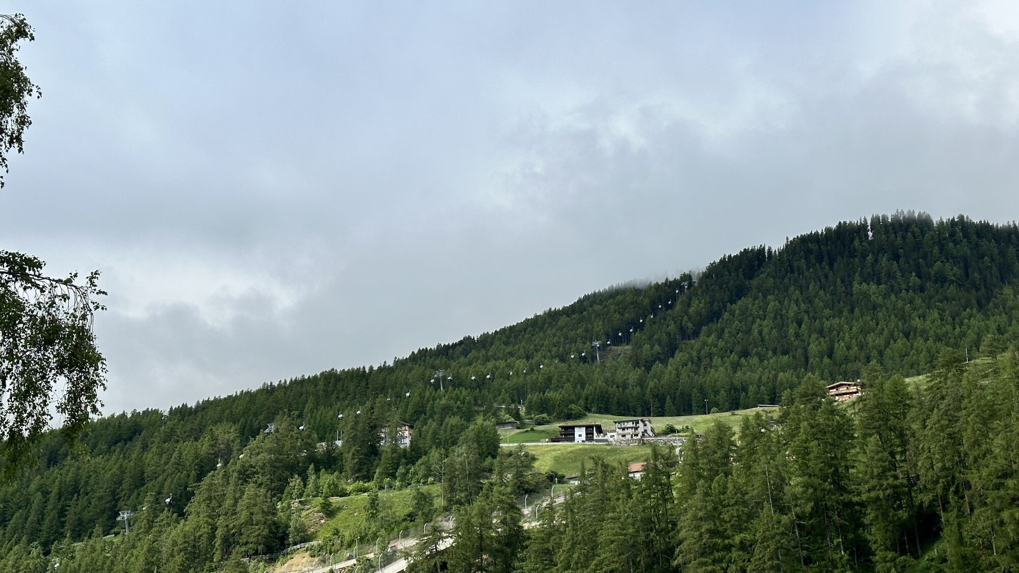
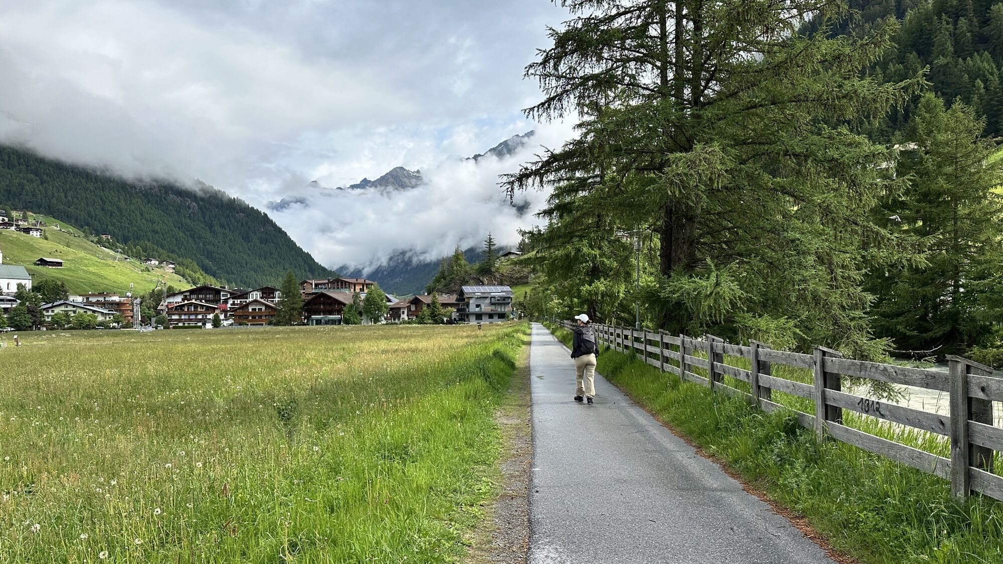
They still exist! The all-round bikers. Those who have the strength and motivation to climb uphill and enjoy challenging themselves downhill on demanding natural terrain. Exactly for this group, the Enduro...
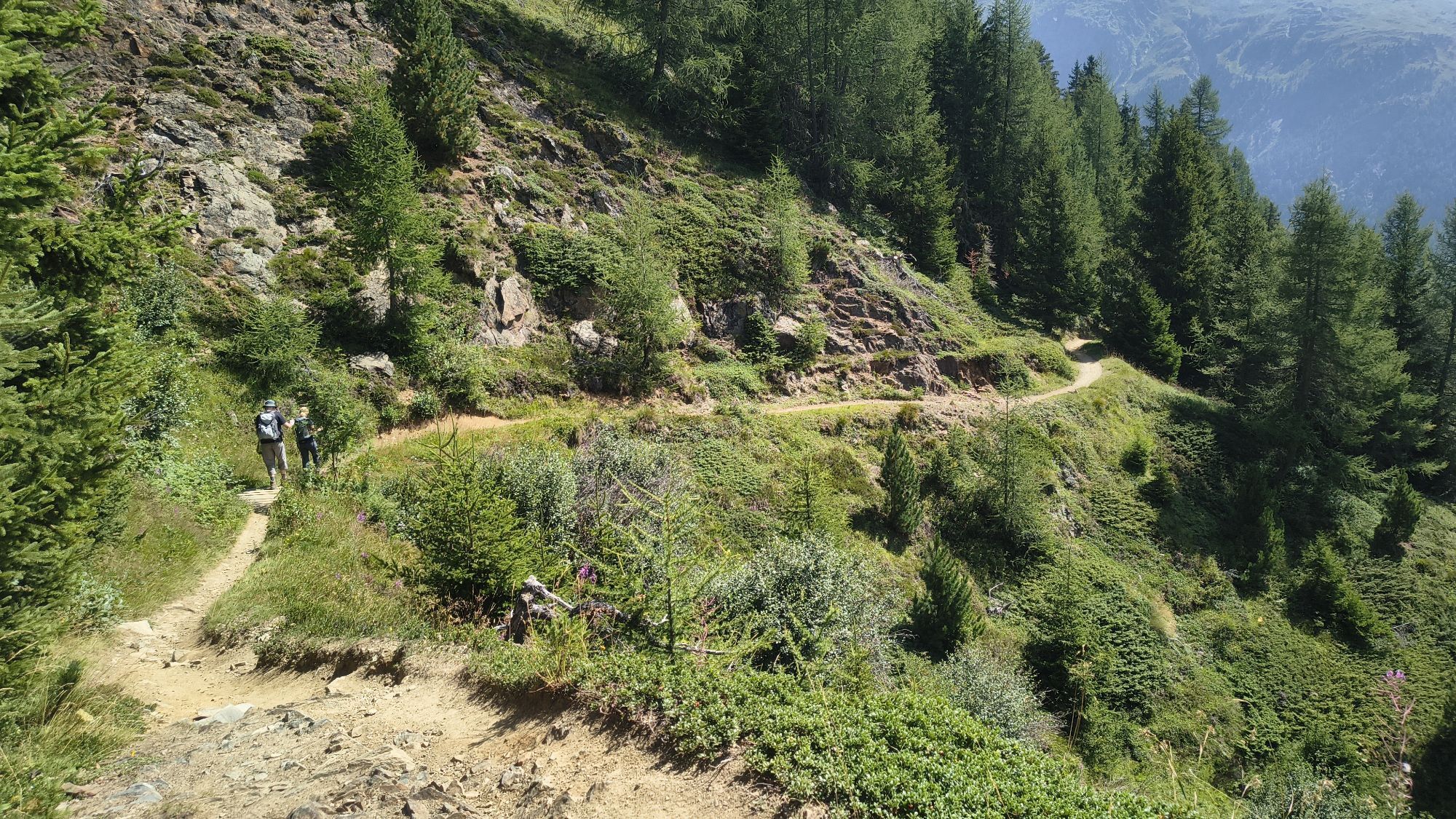
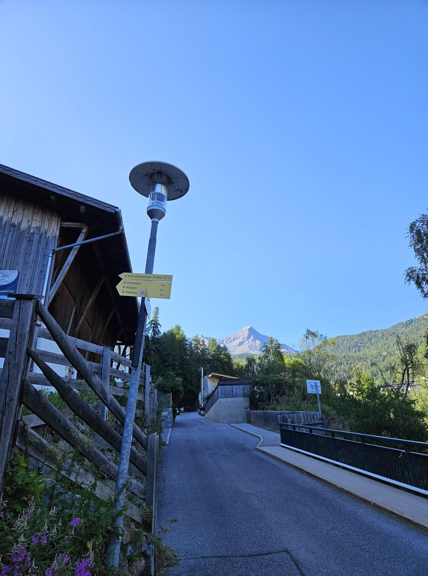
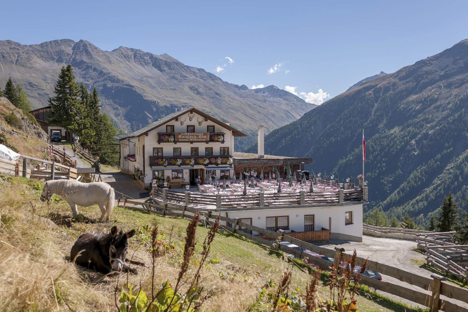
They still exist! The all-round bikers. Those who have the strength and motivation to climb uphill and enjoy challenging themselves downhill on demanding natural terrain. Exactly for this group, the Enduro Silbertal in the BIKE REPUBLIC SÖLDEN is a dream. The start and finish point of the Enduro Tour Silbertal I is the Freizeit Arena in the center of Sölden. Facing the Freizeit Arena, start to the right and follow the Ötztal bike route 11 to the valley station of the Gaislachkogelbahn. Upon reaching the Gaislachkogelbahn, turn right to reach federal road B186; follow this to the junction with Gletscherstraße. Turn right here to ascend the steep Gletscherstraße; after two hairpins, leave the Gletscherstraße and follow Infangstraße to the left. Here begins the steadily ascending, initially asphalted path towards Gaislachalm. At first, the forest provides some shade, but soon it opens onto sunny alpine meadows to the Silbertal rest stop. From there starts the very black Bodenegg Trail, running into the Ventertal, initially along alpine meadows (please stay on the path!), before becoming significantly more demanding above the treeline – including a push section. In Bodenegg, follow mountain bike route Bodenegg 661 to Gasthof Neue Post, where you join the next black trail through the Kühtrainschlucht that leads back to Sölden.
VIDEO ABOUT THE BODENEGG TRAIL
Please watch out for hikers!


Well equipped rules! We recommend wearing MTB protective gear (helmet, knee, elbow, back protectors, ...) on all lines, trails, enduro routes, and mountain bike routes in the BIKE REPUBLIC SÖLDEN. All routes are exclusively intended for use with mountain bikes that meet today's quality standards.
Both trails are black routes: stony, narrow, steep, and technically challenging.
In the BIKE REPUBLIC SÖLDEN it’s about the shared fun of bike sport – no matter what riding level you have. Be considerate of each other and support one another. Also, behave respectfully towards all other people on the mountain and in the valley – and the nature.
-> Stay on the paved and signposted paths. Do not ride over open meadows!
-> Avoid locking the rear wheel and thus help to preserve the trails.
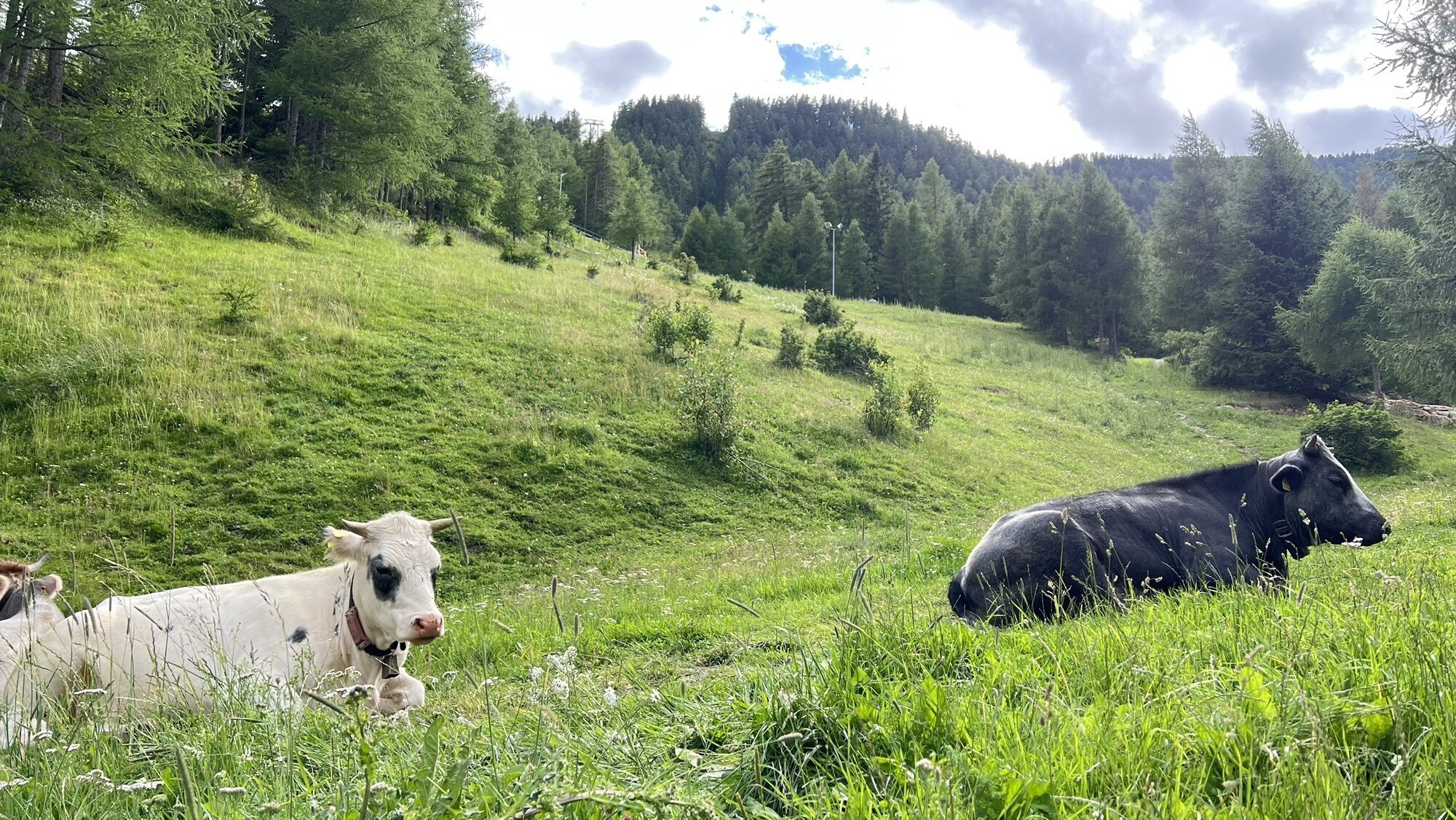
-> Be considerate of animals & close the pasture gates. Cows can always be on the trails and lines. Ride cautiously and keep distance!
-> Please note: Hikers are also on the natural trails in the BIKE REPUBLIC SÖLDEN. Ride carefully, stop, yield considerately, and greet nicely.
WHERE IS SÖLDEN LOCATED?
Sölden is located in western Austria in the state of TIROL, in a southern side valley of the Inn valley – the ÖTZTAL.
Arrival from the west:
from Vorarlberg to Tirol via the Arlberg pass or through the Arlberg tunnel (S 16) - Landeck - A12 highway direction Innsbruck - exit Ötztal to Roppen tunnel - B 186 (35 km) to Sölden
from the north:
- Bad Tölz - Achen pass - B 181 - Jenbach - A12 Innsbruck direction Bregenz - exit Ötztal - B 186 (35 km) to Sölden
- Pfronten - Reutte - Fern pass - Imst - A12 direction Innsbruck - exit Ötztal to Roppen tunnel or B 171 Tiroler Straße to Ötztal (no vignette needed) - B 186 (35 km) to Sölden
- Garmisch Partenkirchen - Ehrwald - Lermoos - Fern pass - Imst - A12 direction Innsbruck - exit Ötztal to Roppen tunnel or B 171 Tiroler Straße to Ötztal (no vignette needed) - B 186 (35 km) to Sölden
- Garmisch Partenkirchen - Mittenwald - Scharnitz - Seefeld in Tirol - Telfs - A12 direction Bregenz - exit Ötztal or B 171 Tiroler Straße to Ötztal (no vignette needed) - B186 (35 km) to Sölden
from the east:
from Munich or Salzburg on the A93 to Kufstein, then on A12 direction Bregenz, via Innsbruck to exit Ötztal, then continue on B186 (35 km) to Sölden
from the south:
from Bolzano towards Brenner (toll road) - Brenner motorway past the Schönberg toll station towards Innsbruck - from Innsbruck on A12 direction Bregenz to the Ötztal entrance - continue on B186 (35 km) to Sölden
Arrival by train
Take the train easily to Ötztal train station at the valley entrance. A regular bus starts directly from the station square towards Obergurgl. The bus ride to Sölden takes about 1 to 1.5 hours. On the designated bike line buses, bike transport (also eMTBs) is free with a valid bus ticket.
All important information on bus schedules, connections, and taxi companies can be found here.
At the valley stations of the Gaislachkoglbahn and the Giggijochbahn, there are sufficient parking spaces available, including parking garages.
Parking spaces are chargeable.
Paid overnight parking is possible in the Gaislachkogl parking garage:
more information about overnight parking
Please respect that wild camping is forbidden!
S3
More information about biking and cycling in the Ötztal: https://www.oetztal.com/biken
More information about the probably most flowy nation of the Alps, the BIKE REPUBLIC SÖLDEN: https://bikerepublic.soelden.com
And more video content is available here: https://www.youtube.com/c/BikeRepublicSÖLDENSoldenSoelden
The alpine pastures in Silbertal are perfectly located at the highest point of the route. Make sure to stop and enjoy the view of the 3000-meter peaks!
Webové kamery z prehliadky
-
Seekogel
-
Gaislachkogel
-
Sölden - Tiefenbachferner Tal
-
Sölden - Rettenbachferner
-
Sölden - Hochsölden
-
Sölden - Grünwald Resort
-
Top Mountain Crosspoint Hochgurgl
-
Sölden - Grünwald Resort
-
Giggijoch
-
Sölden - Gaislachkogelbahn Mittelstation
-
Sölden - Schwarzkogl Talstation
-
Hochstubaihütte
-
Hochstubaihütte
-
Sölden Ort
-
The Peak Sölden**** Chalets und Appartements
Získajte prehľad
Vždy naživo na mieste s viac ako 9 500 webovými kamerami. bergfex Ako používateľ Pro si teraz môžete pozrieť príslušné webové kamery pre mnohé zájazdy v aplikácii zájazdy z. Môžete si tak priamo prezerať aktuálne podmienky.
Obľúbené výlety v okolí
-
4,7
Vent - Kreuzspitze
Turistika 20,6 km -
4,5
Vent - Wilder Mann - Breslauer Hütte - Stableinalm
strednáTuristika 7,25 km -
3,8
Breslauer Hut
strednáTuristika 4,75 km -
4,3
Amberger Hut - Längenfeld/Gries
strednáTuristika 5,60 km -
4,4
Hochtour Wildspitze, 3.768m
strednáVysoké turné 9,75 km -
4,3
Hohe Geige über Gawinden und den Westgrat
ťažkéTuristika 14,3 km -
3,4
Tiefenbachglacier - Mountaineering Village Vent
strednáTuristika 10,8 km -
5,0
Obergurgl - Ramolhaus
Turistika 7 km -
4,8
Seeber-See Rundweg
svetloHorská turistika 7,96 km -
4,7
Aufstieg zur Rüsselsheimer Hütte
svetloTuristika 3,28 km

Turistika a stopovanie


Nenechajte si ujsť ponuky a inšpiráciu na ďalšiu dovolenku
Vaša e-mailová adresa bol pridaný do poštového zoznamu.





