


6043 Umhauser Family Route
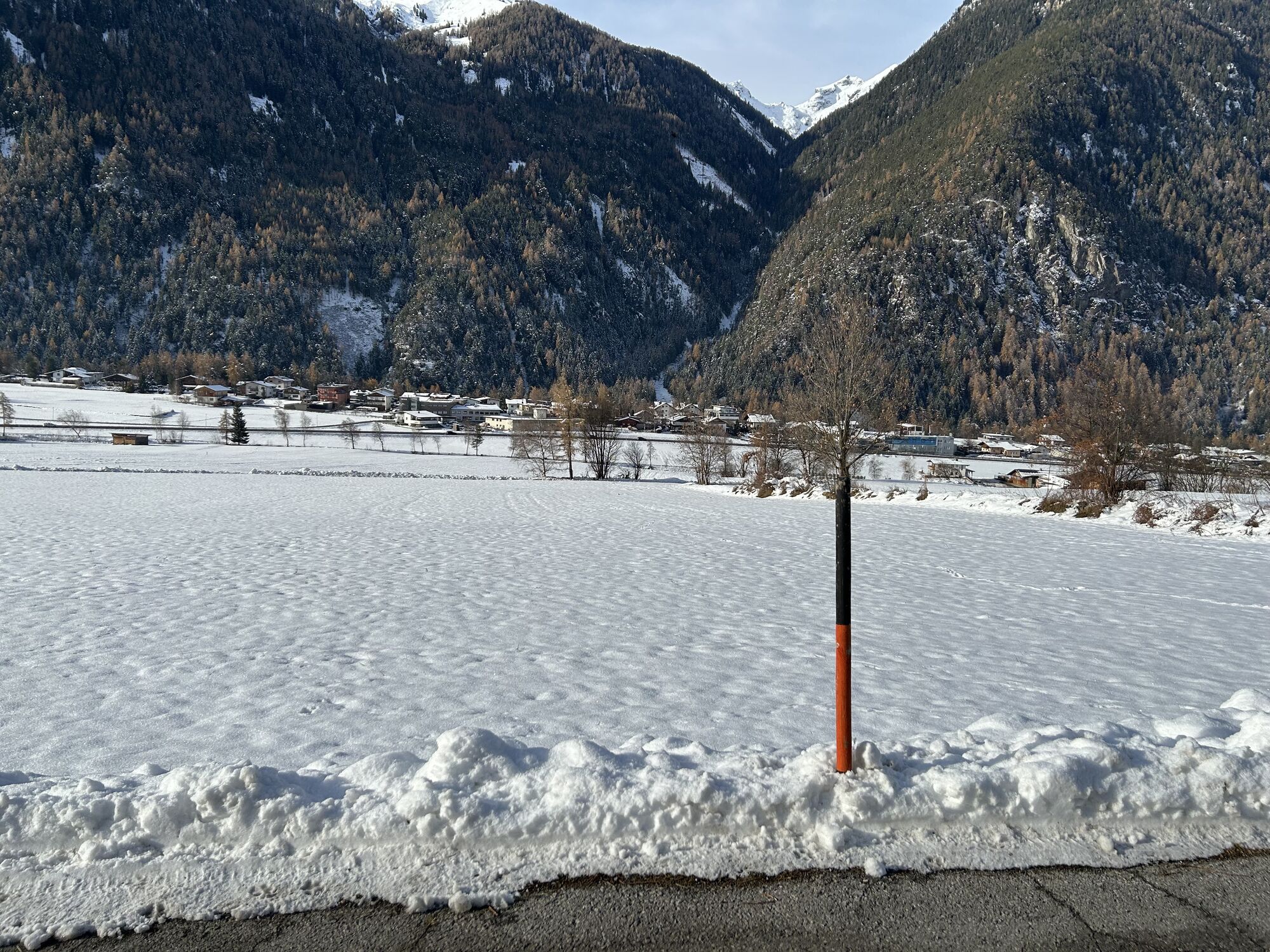
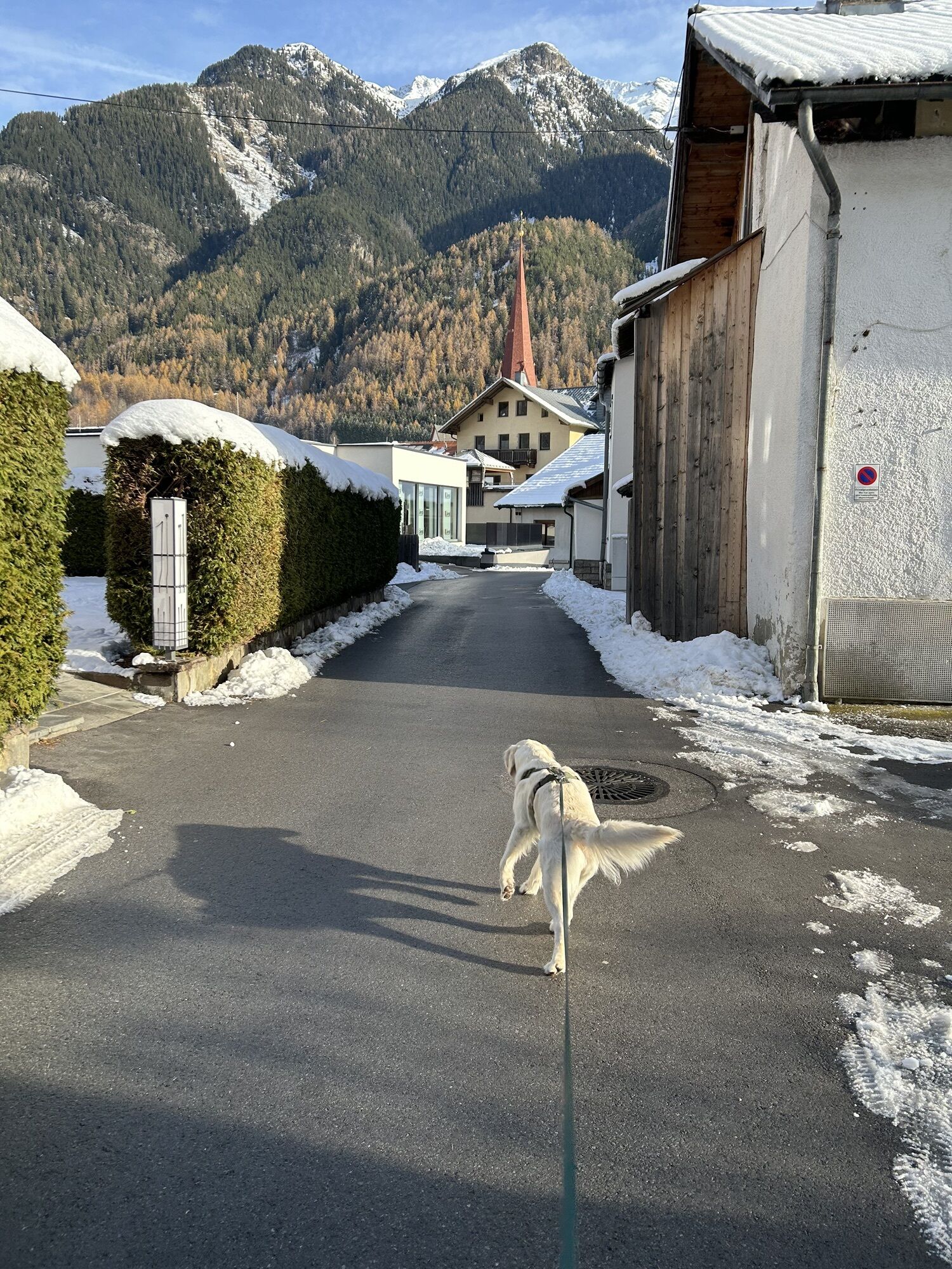
Umhausen is located roughly in the middle of the Ötztal at an altitude of 1,031 meters. Here the valley widens, allowing meadows and fields to spread out. The easy circular route connects all the sights...
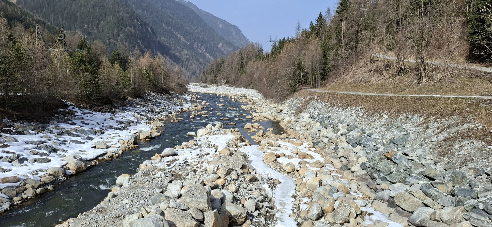
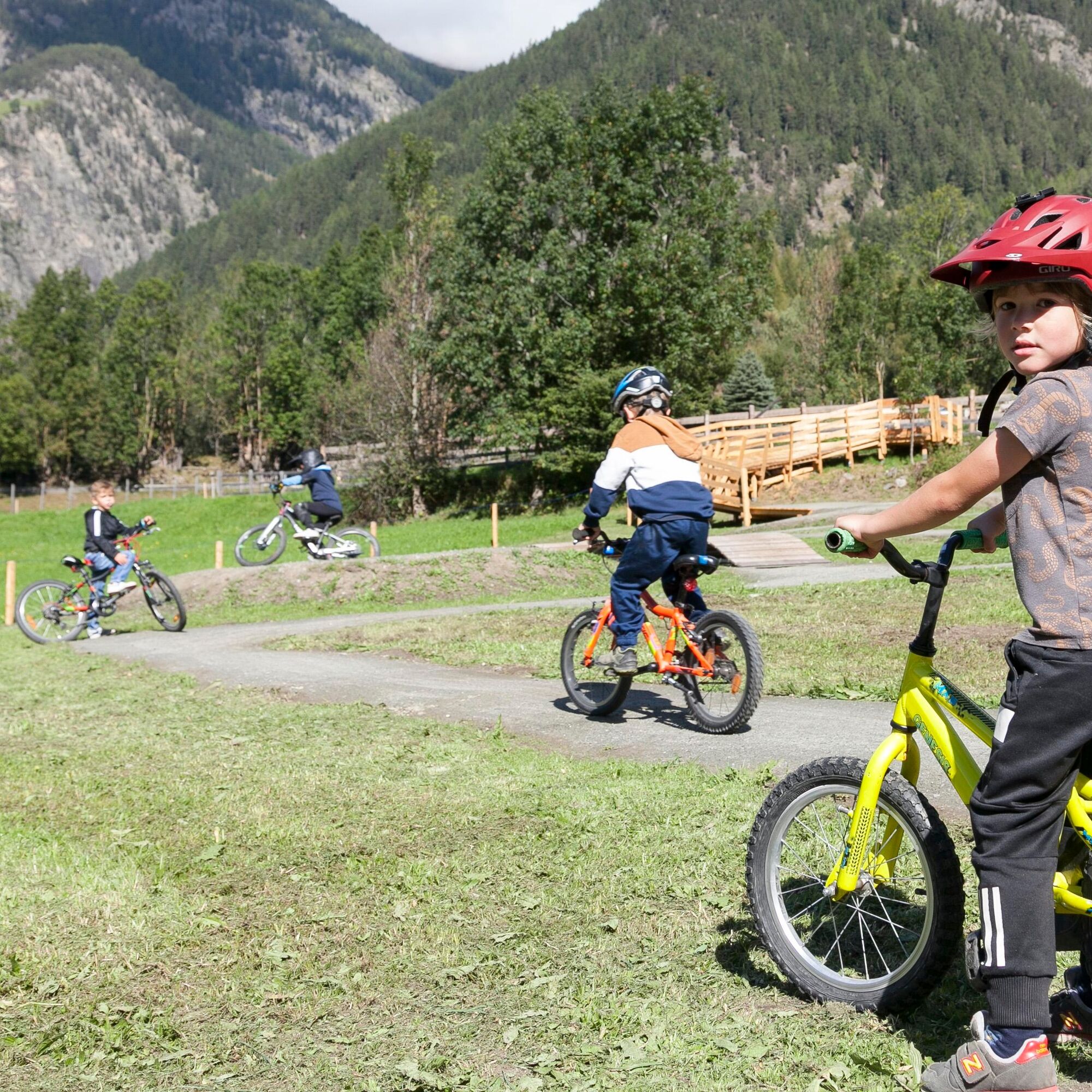
Umhausen is located roughly in the middle of the Ötztal at an altitude of 1,031 meters. Here the valley widens, allowing meadows and fields to spread out. The easy circular route connects all the sights in the Umhausen region. Just under 140 meters of elevation pose no problem even for less trained bikers. The start is at the Mure parking lot in the village center of Umhausen. From here, follow the Ötztal cycle path (No. 11) toward Längenfeld. Passing through the village of Umhausen, you reach the Ötztaler Ache, cross it, and then turn right. Through the overgrown forest, follow the forest road to the Leiersbach district. Passing houses, cross the Ötztaler Ache again and reach the football pitch. Cycle up to the federal road, which must also be crossed, and past the two houses. Now it goes uphill. However, soon you cycle right again toward Umhausen and follow the cycle path back to the starting point.


Áno
Appropriate equipment such as breathable clothing and weather-appropriate outdoor wear, bike helmet, gloves, sunglasses, and a GPS device or map material. On bike tours without refreshment stops, sufficient provisions are necessary.
Family-friendly cycling or mountain biking route also suitable for regular bikes, with good road surface (gravel, asphalt, and comparable ground). The gentle climbs do not require special fitness or riding skills. The focus is on enjoyable cycling.
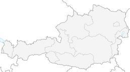
Driving to the ÖTZTAL. Located in Tyrol, the ÖTZTAL branches off to the south as the longest side valley of the Eastern Alps. Traveling by car takes visitors through the Inn Valley to the valley entrance and then along the Ötztal. In addition to the toll motorway, country roads can also be used. Your trip can be quickly and comfortably planned with a route planner.
To the route planner: https://www.google.at/maps.
Travel comfortably and safely by train to the Ötztal train station. The final stop and exit point is the ÖTZTAL station. Afterwards, you can conveniently and quickly travel through the entire valley to your desired destination by public transport or local taxi services! The current bus schedule is available at: fahrplan.vvt.at
The following parking options are available in Umhausen:
Mure parking lot, free of chargeMore info about biking & cycling in the Ötztal: https://www.oetztal.com/biken
This route runs along developed paths and can be easily ridden with a motorized e-mountain bike or a classic mountain bike without motor assistance.
Obľúbené výlety v okolí
-
4,5
Winnebachsee Hut – Längenfeld/Gries
strednáTuristika 4,74 km -
4,2
Hike Stuibenfall - Umhausen
svetloTuristika 2,95 km -
4,4
Stuibenfall Umhausen circular hike
svetloTuristika 9,32 km -
4,5
Oetz - Piburger See - Oetz
strednáTuristika 7,16 km -
4,4
Rundwanderung Hängebrück3
svetloTuristika 6,32 km -
4,7
Winter circular route Brandalm/Burgstein - Längenfeld 204
strednáZimná turistika 5,44 km -
4,3
Lampsenspitze, Sellrain, Tirol
strednáSkitour 4,97 km -
4,3
Amberger Hut - Längenfeld/Gries
strednáTuristika 5,60 km -
4,7
Summit route Faltegartenköpfl
strednáTuristika 4,04 km -
4,6
Umhausen - Stuibenfall - Umhausen
strednáTuristika 7,94 km
Turistika a stopovanie


Nenechajte si ujsť ponuky a inšpiráciu na ďalšiu dovolenku
Vaša e-mailová adresa bol pridaný do poštového zoznamu.