






Bike route to Marias Alm (645)
Úroveň náročnosti: S2
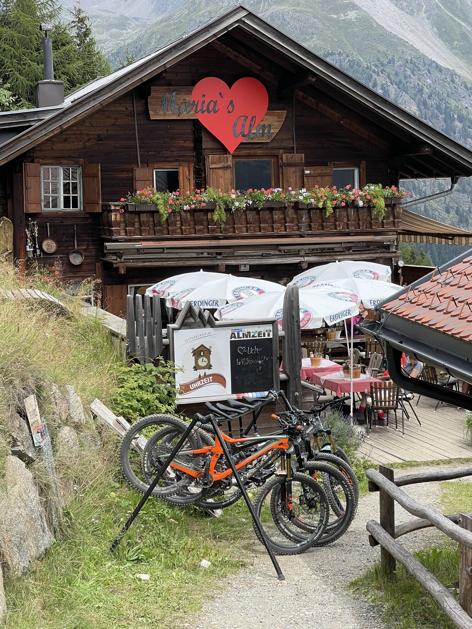
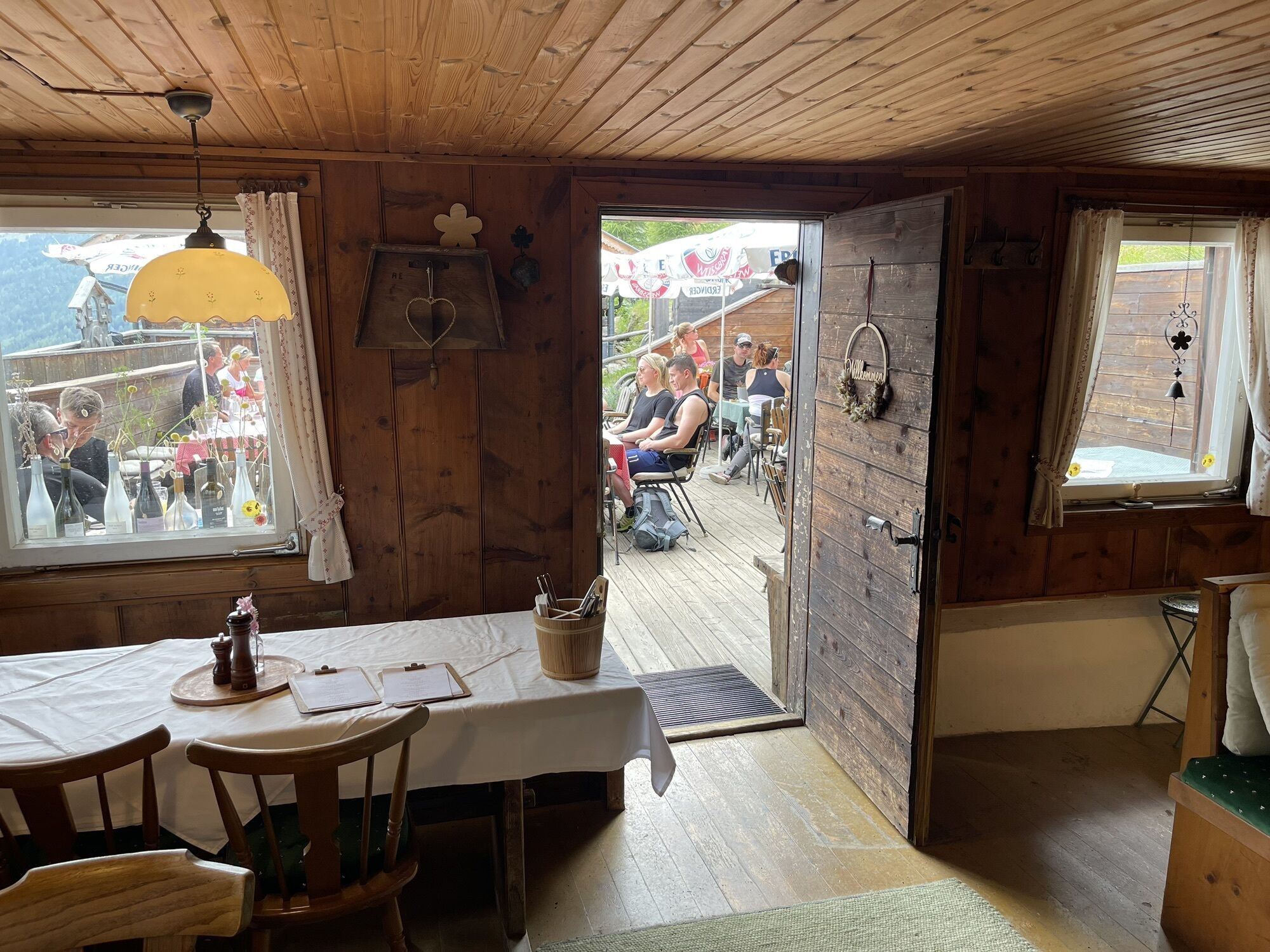
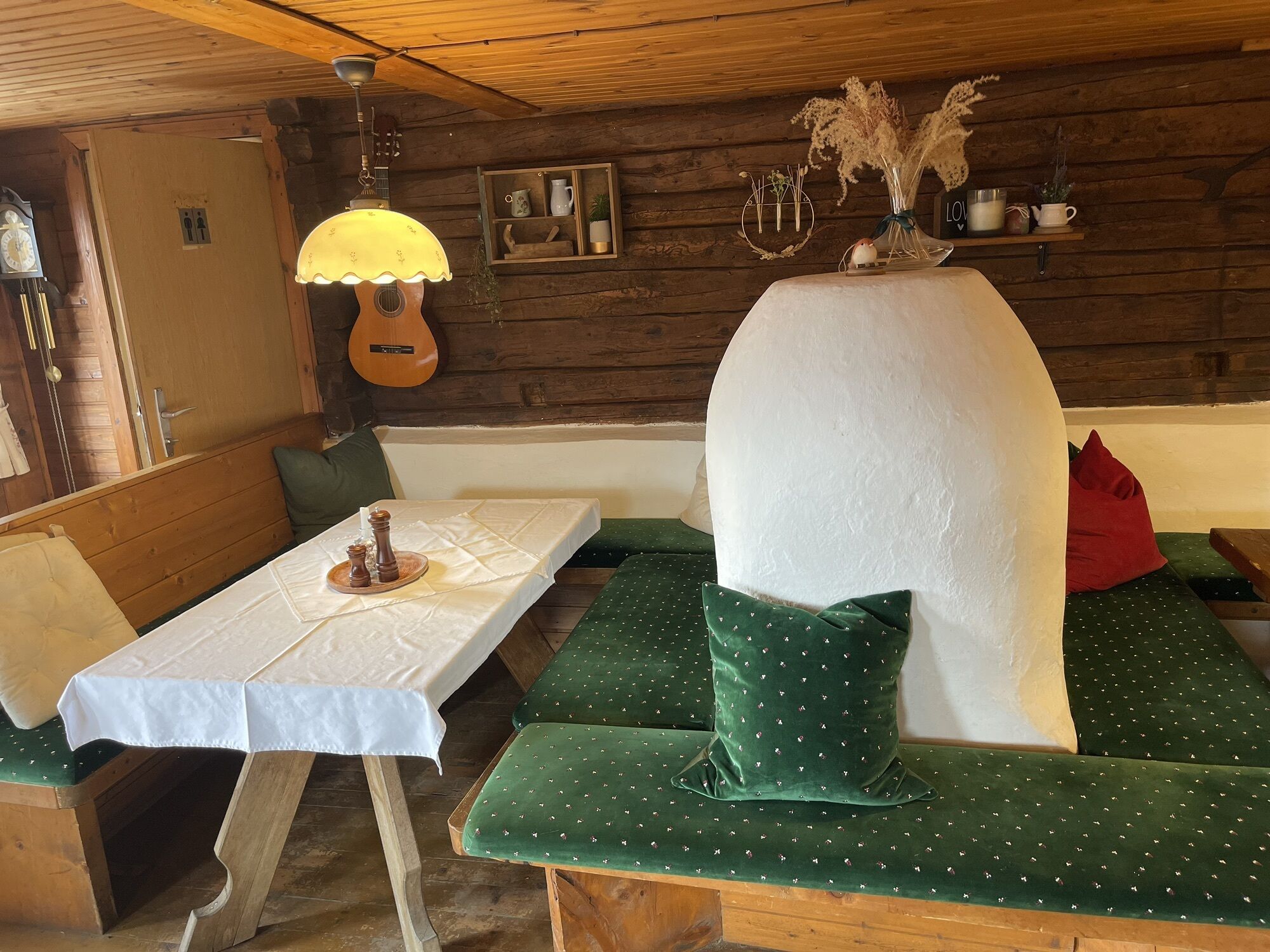
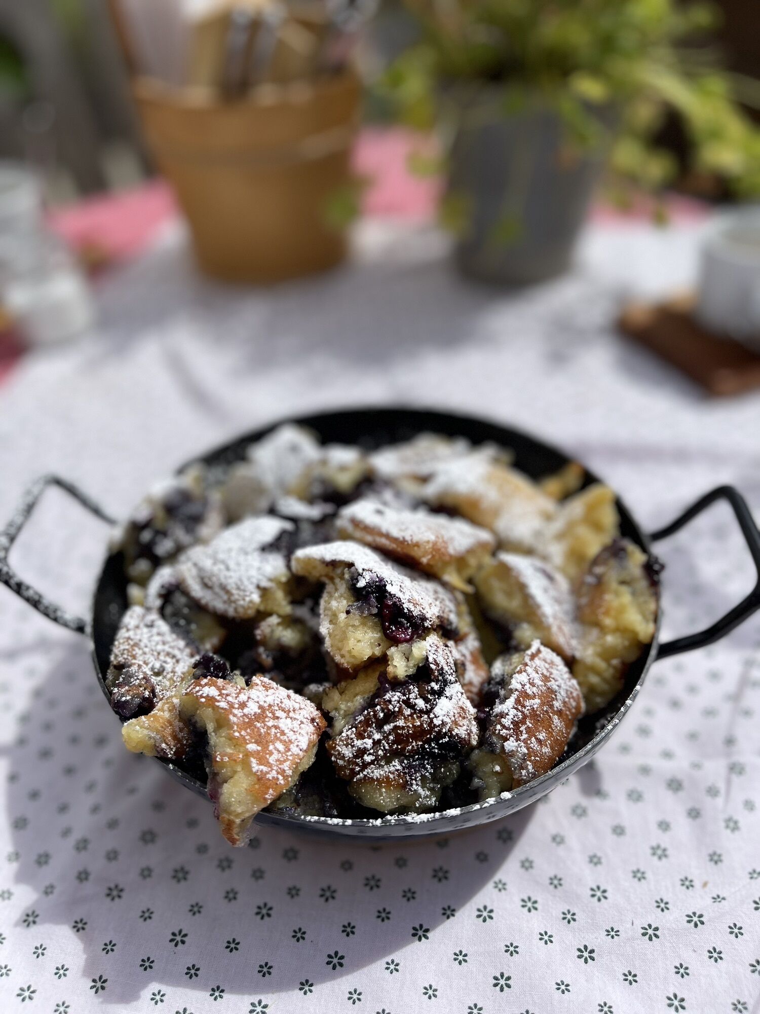
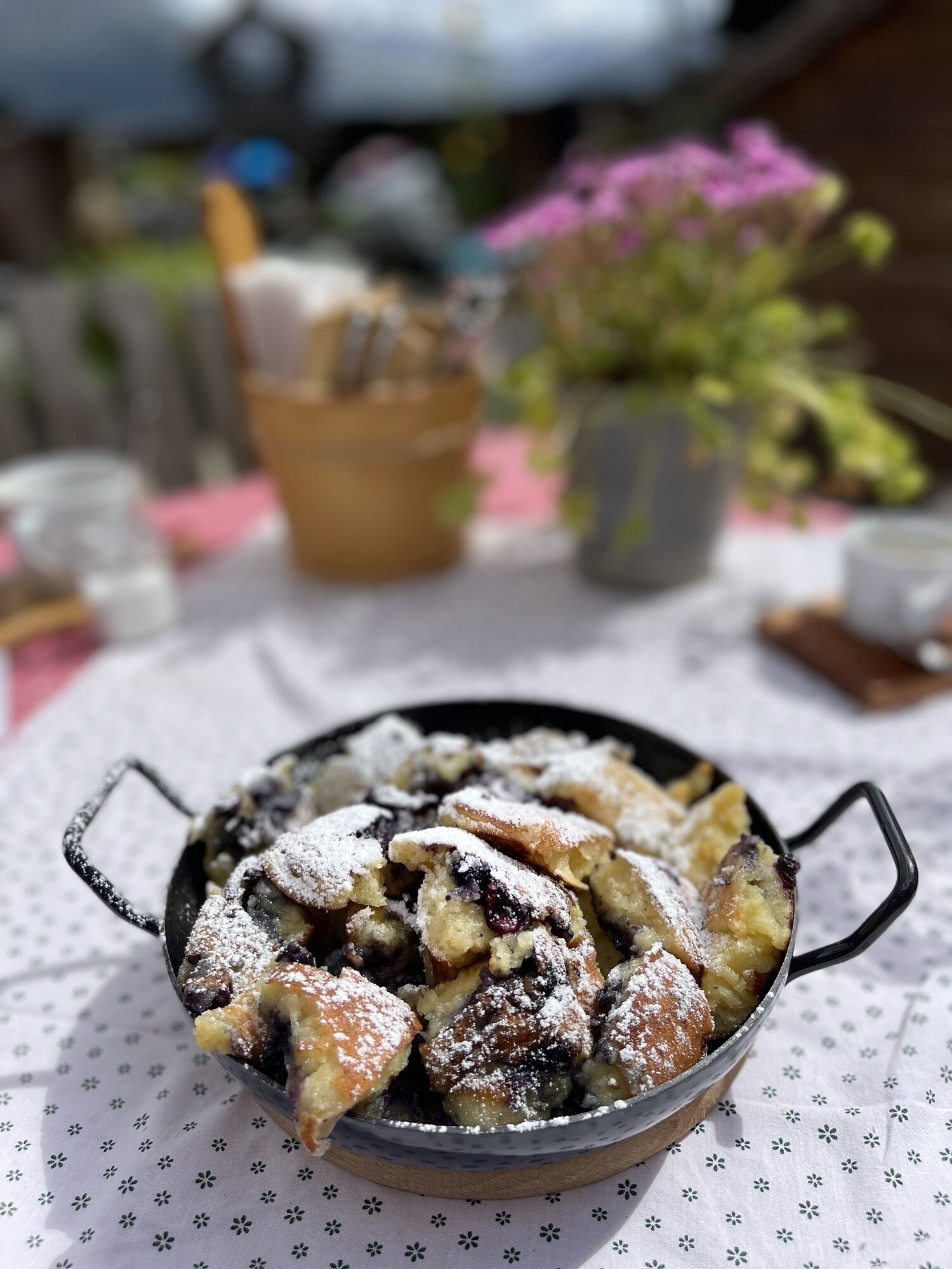
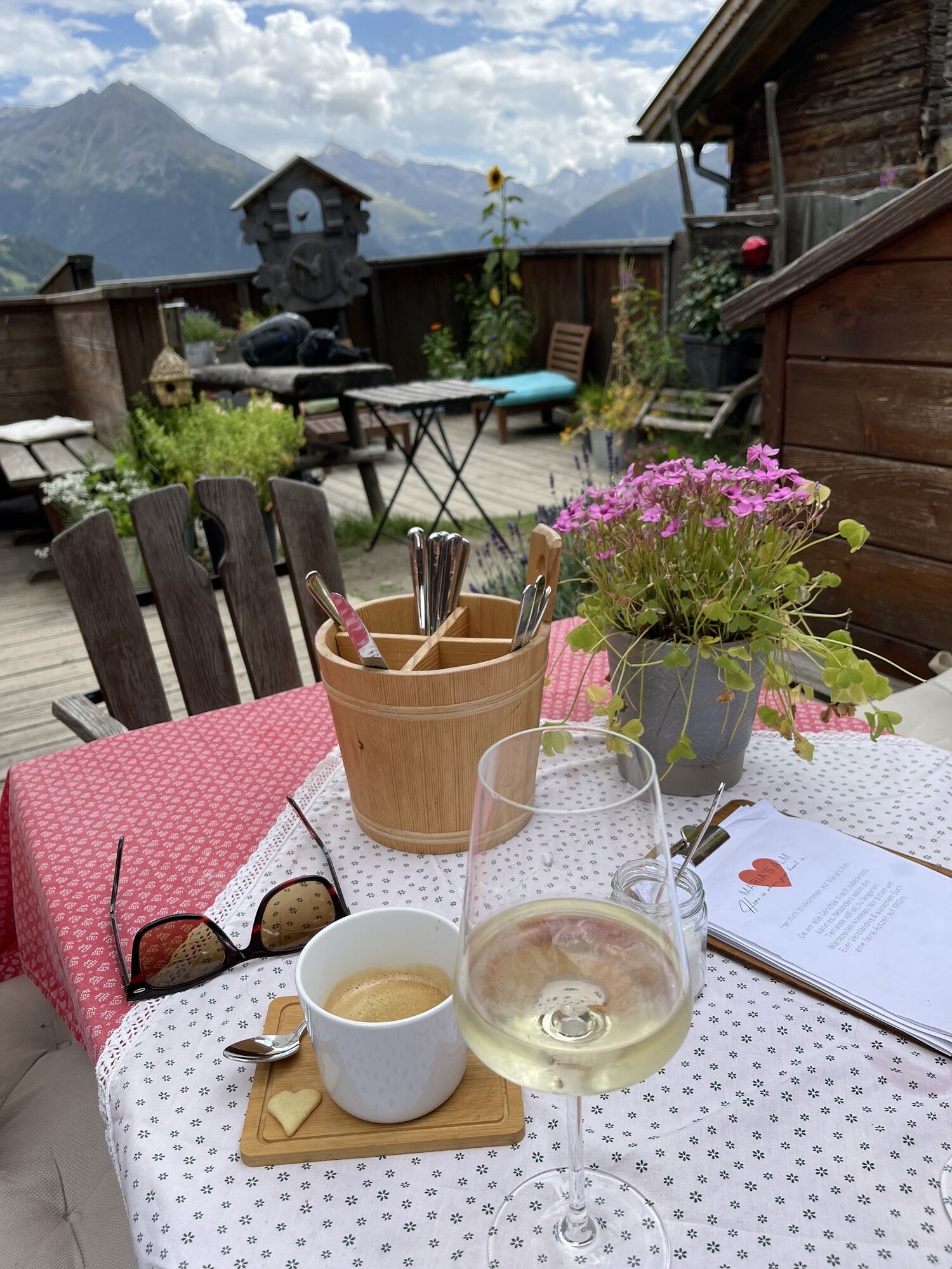
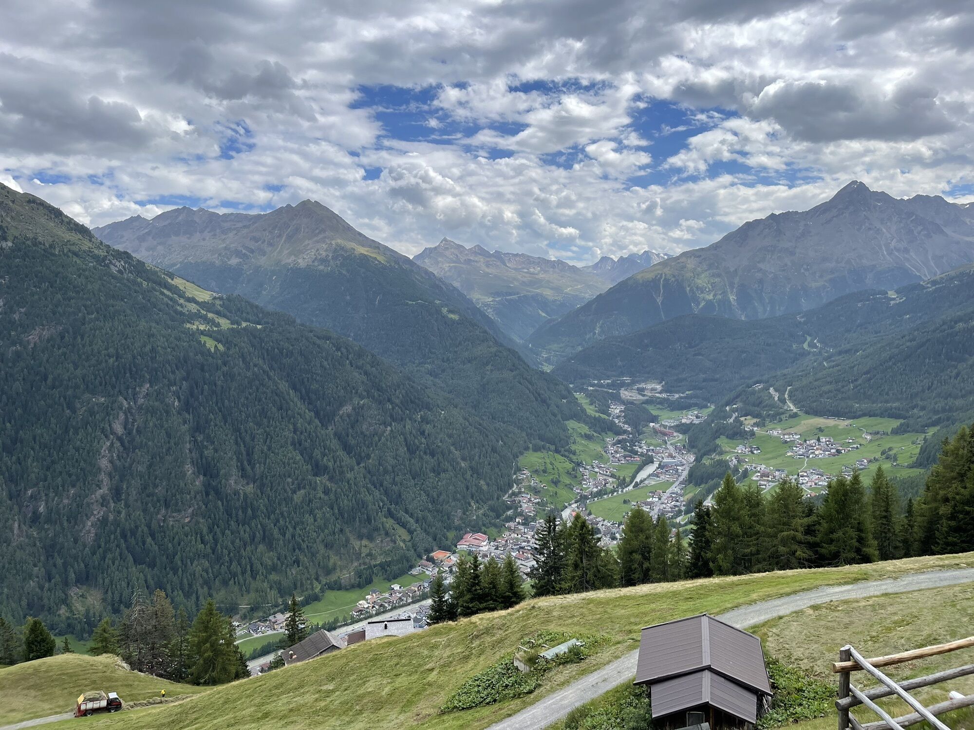
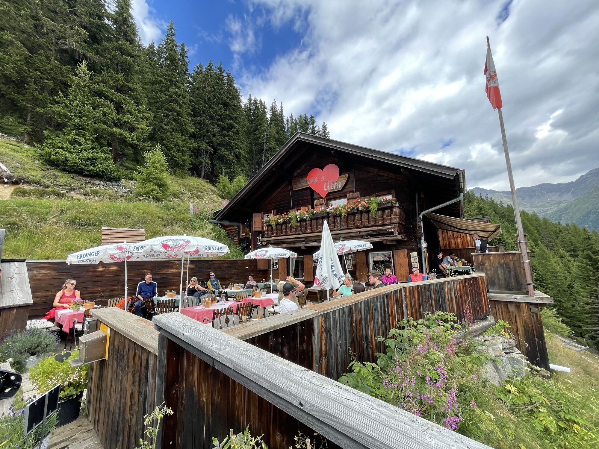
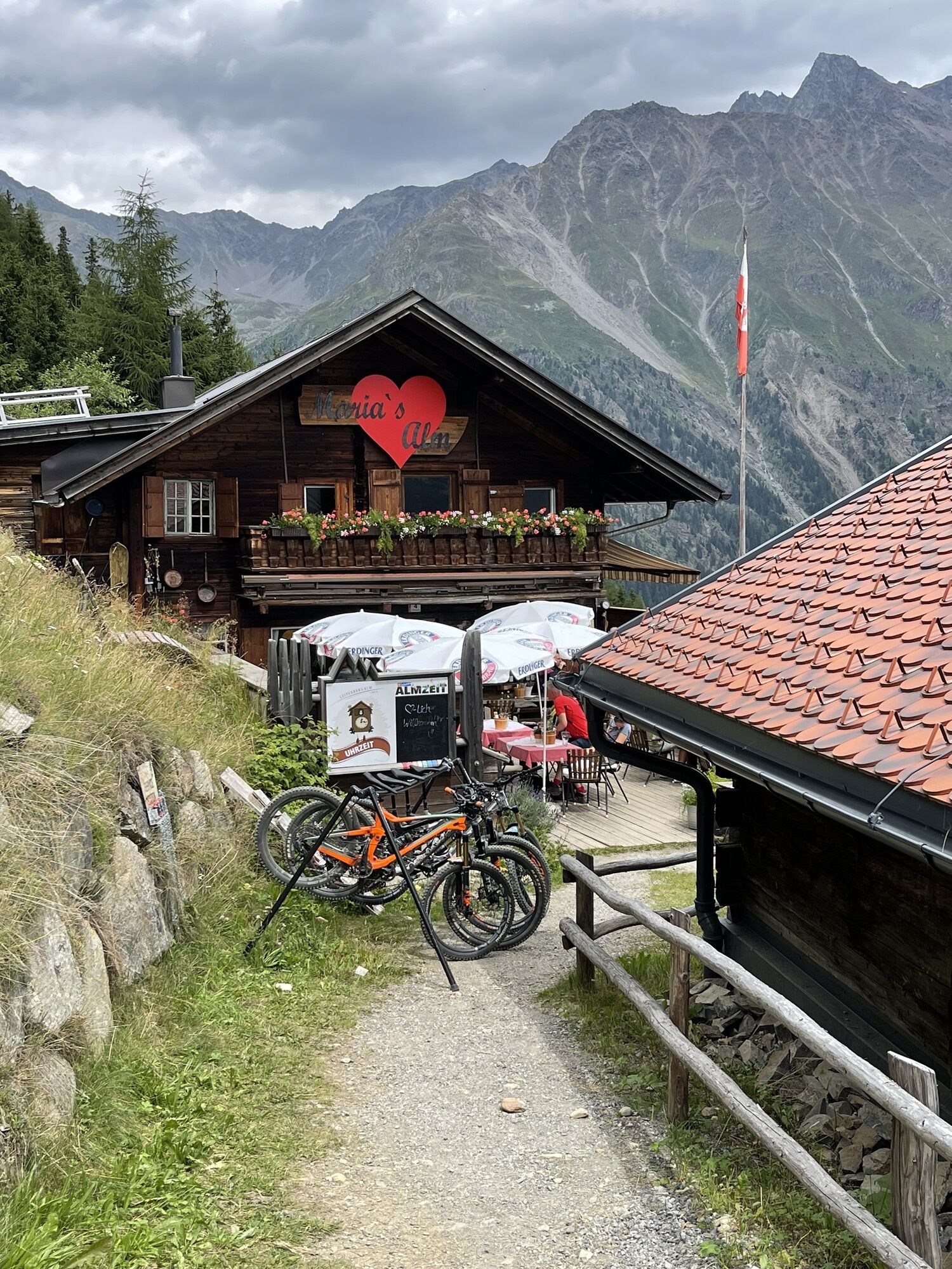
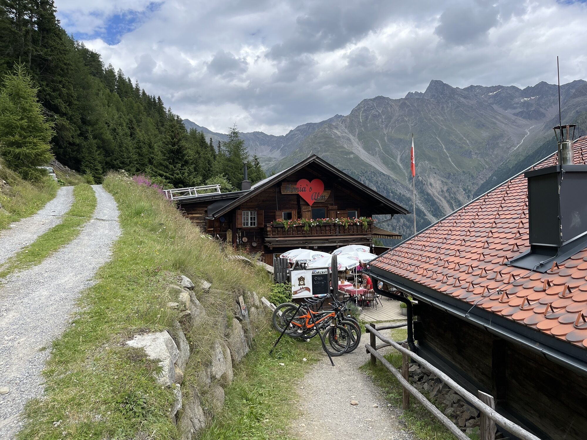

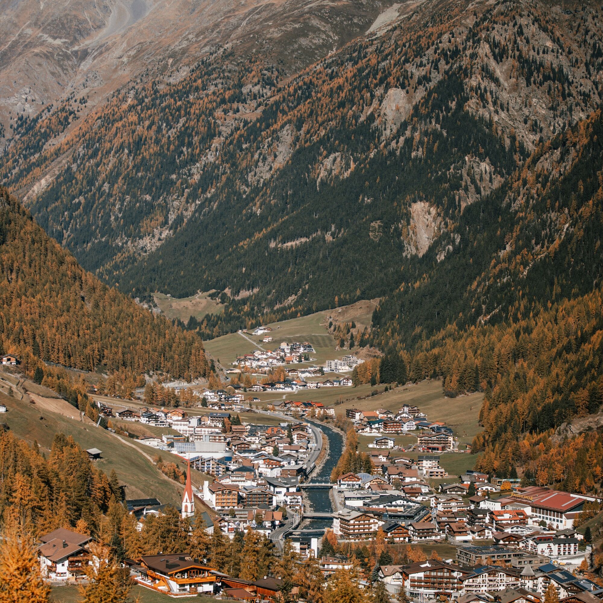

The route starts at the Recreation Arena and leads downstream towards Kaisers, via Mühlau to Granstein. From the Recreation Arena, take the first street to the right and follow the Ötztal cycle path downstream. You roll comfortably along the municipal road and then continue along Waldelestraße. Here you pass the pavilion and the "Waldele" playground. Always follow the paved road, east of the Ötztaler Ache, and ride through the hamlets Rechenau and Schmiedhof. After about 2 km, you reach the hamlet Kaisers. At the fork, turn left, cross the Ötztaler Ache and follow the paved road uphill until you reach the Ötztaler Bundesstraße. Here turn right and continue along the federal road downstream. Soon you pass a tunnel (not illuminated). After about 500 m, turn left at Mühlau and follow the paved road that leads to the hamlet Granstein (marked A3). After a few curves, you reach the first houses of Granstein. At the first intersection, turn left onto a forest road and follow the signs to Leiter Alm / Edelweißhütte. The forest road ultimately leads up to the Leiterbergalm which you reach after almost 4 km. You are rewarded at 1,900 m with an incredible view of Sölden and the surrounding mountains, as well as a hearty snack at the Leiterbergalm. The return trip runs along the same route back to Sölden to the Recreation Arena. Alternatively, experienced mountain bikers can take the two single trails Leiterberg Trail (672) and Lettn Line (6009) back to Sölden.
Áno
WHERE IS SÖLDEN LOCATED?
Sölden is located in the west of Austria, in the federal state of TIROL, in a southern side valley of the Inn valley – the ÖTZTAL.
Arrival from the west:
from Vorarlberg to Tirol via the Arlberg pass or through the Arlberg tunnel (S 16) - Landeck - Motorway A 12 toward Innsbruck - exit Ötztal to Roppener tunnel - B 186 (35 km) to Sölden
From the north:
- Bad Tölz - Achenpass - B 181 - Jenbach - A 12 Innsbruck direction Bregenz - exit Ötztal - B 186 (35 km) to Sölden
- Pfronten - Reutte - Fernpass - Imst - A 12 towards Innsbruck - exit Ötztal to Roppener tunnel or B 171 Tiroler Straße to Ötztal (toll-free) - B 186 (35 km) to Sölden
- Garmisch Partenkirchen - Ehrwald - Lermoos - Fernpass - Imst - A 12 towards Innsbruck - exit Ötztal to Roppener tunnel or B 171 Tiroler Straße to Ötztal (toll-free) - B 186 (35 km) to Sölden
- Garmisch Partenkirchen - Mittenwald - Scharnitz - Seefeld in Tirol - Telfs - A 12 towards Bregenz - exit Ötztal or B 171 Tiroler Straße to Ötztal (toll-free) - B 186 (35 km) to Sölden
From the east:
from Munich or Salzburg on the A 93 to Kufstein, then on the A 12 towards Bregenz, via Innsbruck to exit Ötztal, then continue on B 186 (35 km) to Sölden
From the south:
from Bolzano towards Brenner (toll road) - Brenner motorway via toll station Schönberg towards Innsbruck - from Innsbruck on A 12 towards Bregenz to approach Ötztal - continue on B 186 (35 km) to Sölden
Arrival by train
Travel comfortably and safely by train to the Ötztal station. A regular bus departs directly from the station forecourt towards Obergurgl. The bus ride to Sölden takes about 1 - 1.5 hours.
All important information about bus schedules, connections, and taxi companies can be found here.
At the valley stations of the Gaislachkoglbahn and the Giggijochbahn, sufficient parking spaces are available, and there are also parking garages.
The parking spaces are subject to a fee.
Paid overnight parking of cars is possible in the Gaislachkogl parking garage.
Please respect that wild camping is prohibited!
S2
Získajte prehľad
Vždy naživo na mieste s viac ako 9 500 webovými kamerami. bergfex Ako používateľ Pro si teraz môžete pozrieť príslušné webové kamery pre mnohé zájazdy v aplikácii zájazdy z. Môžete si tak priamo prezerať aktuálne podmienky.
Obľúbené výlety v okolí
-
4,6
Winnebachsee Hut – Längenfeld/Gries
strednáTuristika 4,74 km -
4,8
Wilde Wasser Weg - Fortgeschritten
strednáTuristika 12,0 km -
4,4
Rundwanderung Hängebrück3
svetloTuristika 6,32 km -
4,7
Winter circular route Brandalm/Burgstein - Längenfeld 204
strednáZimná turistika 5,44 km -
4,3
Amberger Hut - Längenfeld/Gries
strednáTuristika 5,60 km -
3,1
Tiefenbachglacier - Mountaineering Village Vent
strednáTuristika 10,8 km -
5,0
Dresdner hütte - sulzenauerhütte
strednáTuristika 12,1 km -
4,1
Hohe Geige über Gawinden und den Westgrat
ťažkéTuristika 14,3 km -
5,0
Nissl Alm - Längenfeld/Gries
svetloTuristika 5,17 km -
4,8
Seeber-See Rundweg
svetloHorská turistika 7,96 km
Turistika a stopovanie


Nenechajte si ujsť ponuky a inšpiráciu na ďalšiu dovolenku
Vaša e-mailová adresa bol pridaný do poštového zoznamu.





