


626 Family Loop Oetz - Sautens
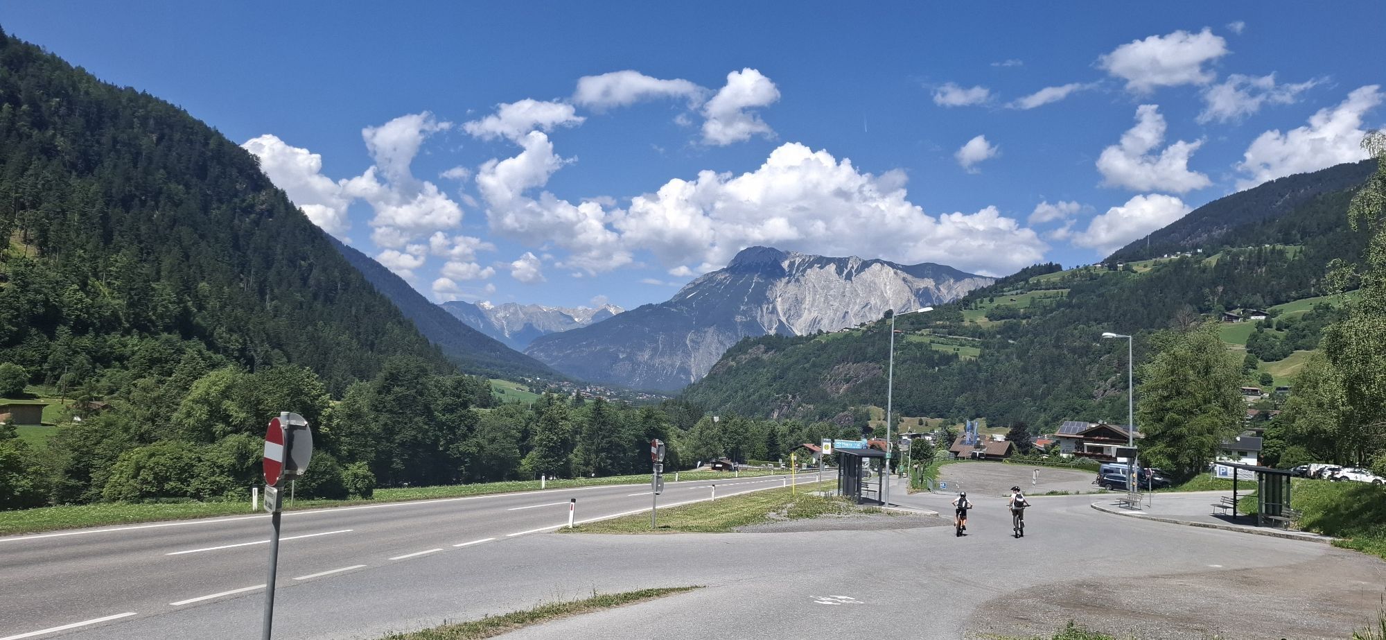
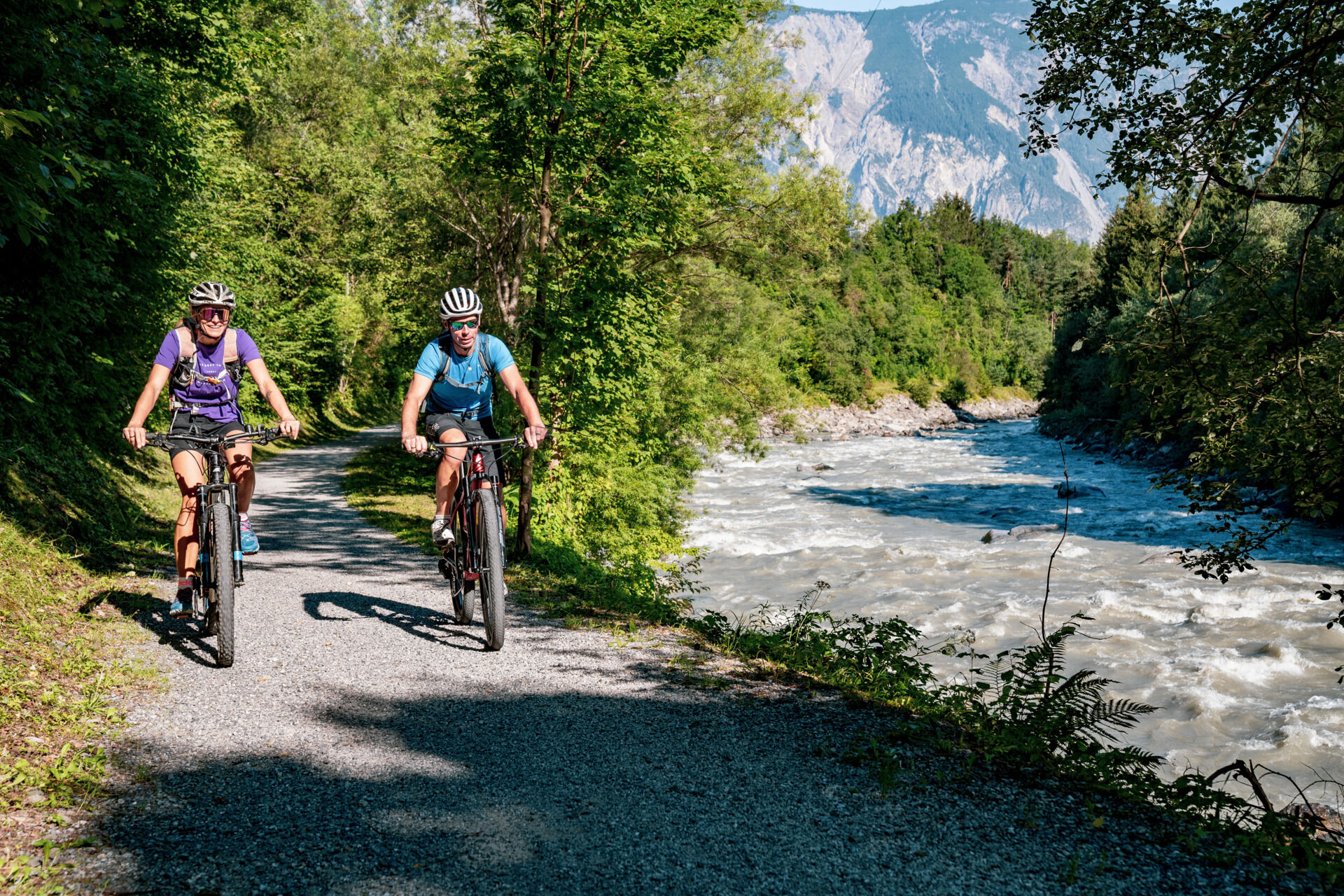
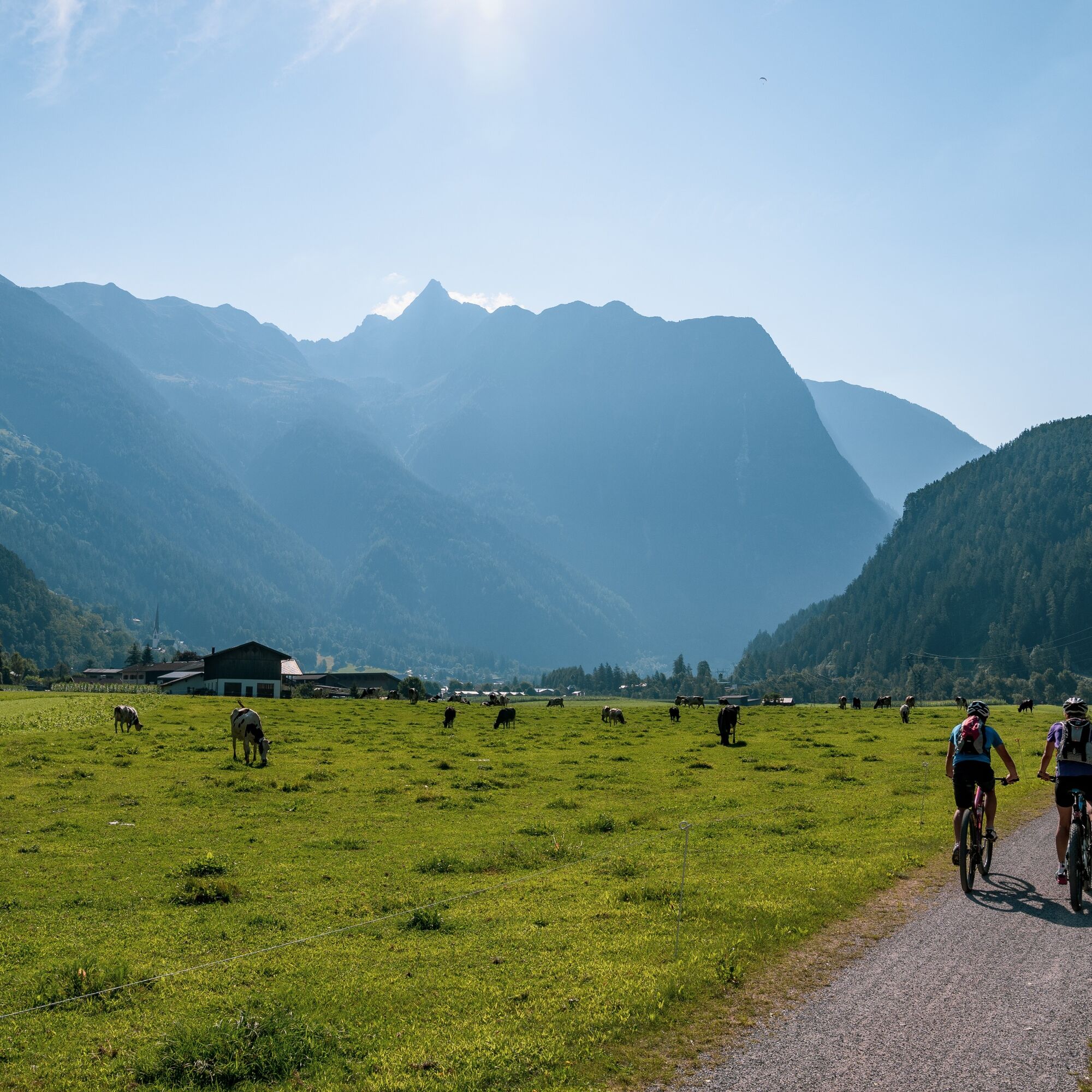
The 7-kilometer loop goes from Oetz northwards to Sautens and back. The asphalt and gravel paths are easy to ride. Even on hot summer days, a cool breeze always blows along the riverbank of the Ache, which...
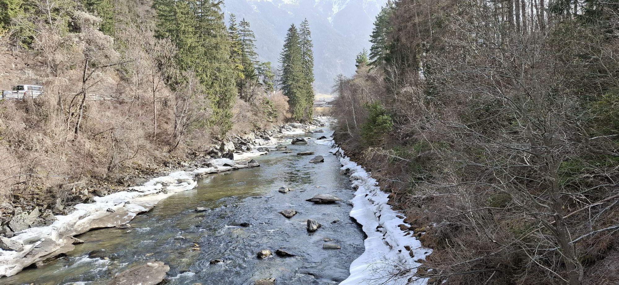
The 7-kilometer loop goes from Oetz northwards to Sautens and back. The asphalt and gravel paths are easy to ride. Even on hot summer days, a cool breeze always blows along the riverbank of the Ache, which is fed by numerous glaciers. In addition, rows of trees along the scenic riverside path provide shade.
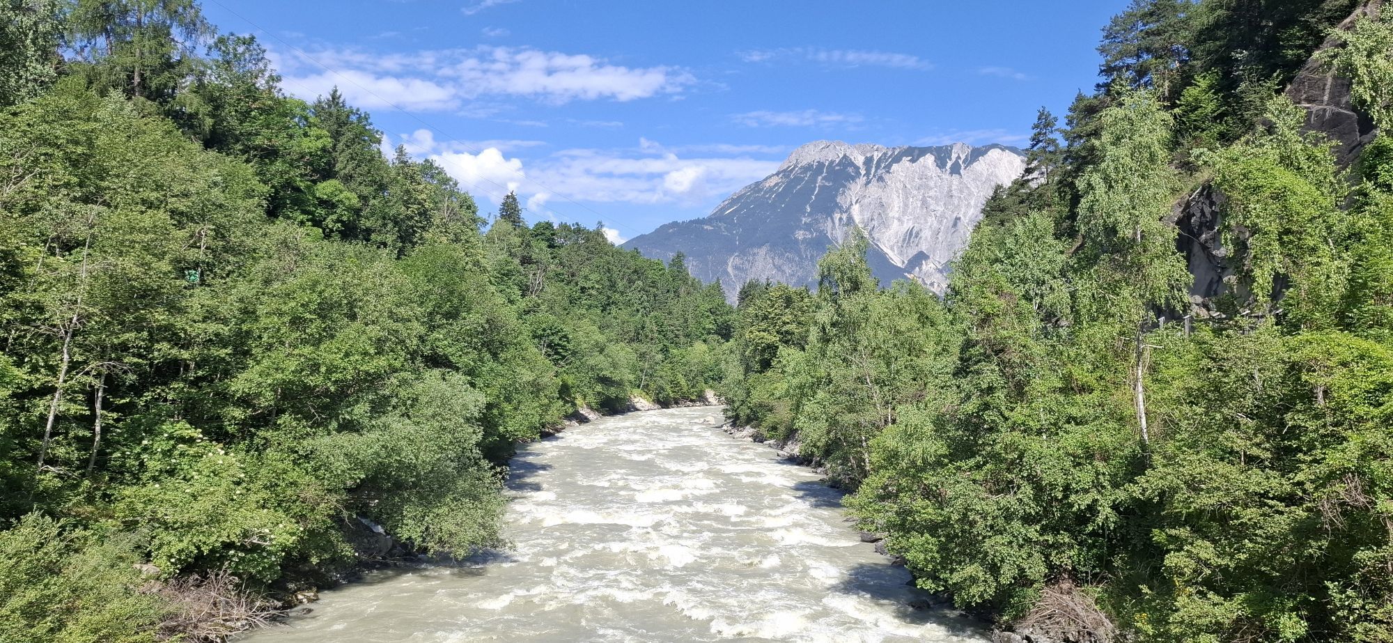
Anyone who has experienced the river in spring during the snowmelt knows about its destructive power. In earlier years, the raging Ache often flooded and devastated the valley. Today, numerous reinforcements ensure the safety of residents. On the tour, there are good chances to observe kayak athletes and rafting boats on their swaying journey.

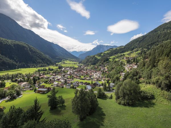

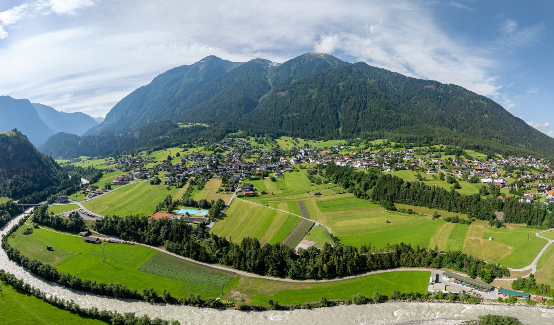
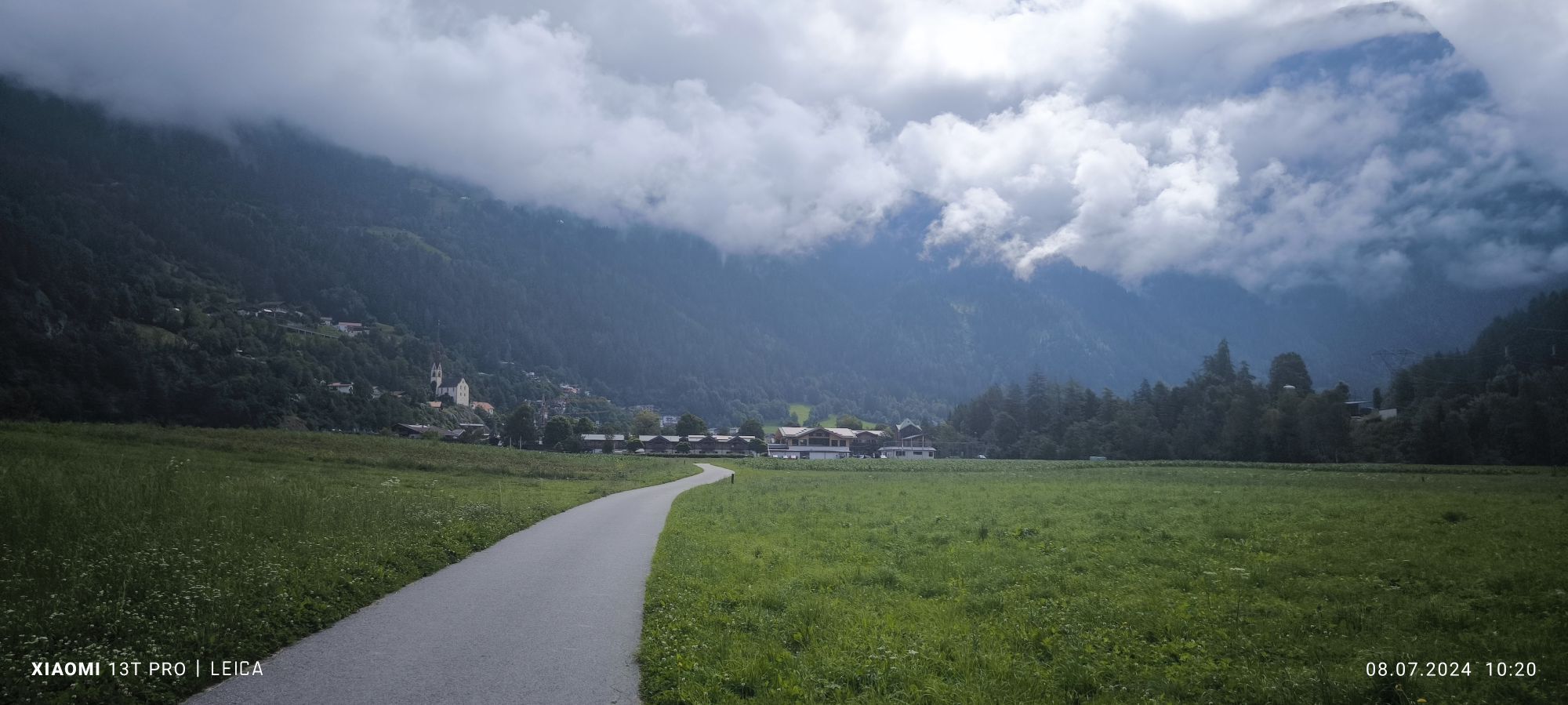
The starting point of this family-friendly pleasure route is the central car park in Oetz. There is also a bike bus stop right next to the car park (Oetz town hall). You leave the car park on the left side and follow the paved path along the Ache for about 500 m to the intersection with Piburger Straße. There you cross the street and continue past the Aktiv and Nature Resort on the paved meadow path. This leads straight through the meadows to the Ötztaler Ache. At the end, you turn right onto the gravel path, passing a small chapel. The path runs parallel to the main road for a short distance until a wooden bridge. On this bridge, you cross the Ötztaler Ache. Then continue to the right along the Ache and cross the federal road. On the return, it goes through the village of Sautens and along the Beerweg back toward Oetz. This path ends at Piburger Straße. Follow it for about 500 m to the intersection with Achrainweg. Here you turn right and follow Achrainweg back to the starting point at the central car park in Oetz.
This loop can also be easily managed from Sautens!
Áno
Appropriate equipment such as breathable clothing and weather-appropriate outdoor wear, bicycle helmet, gloves, sunglasses, and a GPS device or map material. For bike tours without refreshment options, sufficient provisions are necessary.
Family-friendly cycling or MTB route also suitable for normal bicycles with a good road surface (gravel, asphalt, and comparable base). The gentle ascents do not require particular physical condition or riding technique. The focus is on enjoyable cycling.
The car journey into the ÖTZTAL. Located in Tyrol, the ÖTZTAL branches off to the south as the longest side valley of the Eastern Alps. Travelers by car pass through the Inn valley to the valley entrance and continue along the Ötztal. Besides the toll motorway, country roads can also be used. The route planner lets you quickly and easily determine your drive.
To the route planner: https://www.google.at/maps.
Travel comfortably and safely by train to the Ötztal train station. The final stop or exit point is the ÖTZTAL station. Afterwards, you can travel conveniently and quickly by public transport or local taxi companies through the entire valley to your desired destination! The current bus schedule is available at: fahrplan.vvt.at
The following parking options are available in Oetz:
Central car park Oetz, paid, €0.50 per car / 30 minutesThis route leads along developed paths and can be easily traveled with a motorized e-mountain bike or a classic mountain bike without motor.
Obľúbené výlety v okolí
-
4,2
Hike Stuibenfall - Umhausen
svetloTuristika 2,95 km -
4,6
Trip Tirol ➤ Hike to the Blue Grotto in Rosengarten Gorge Imst
strednáTuristika 4,86 km -
4,4
Stuibenfall Umhausen circular hike
svetloTuristika 9,32 km -
4,5
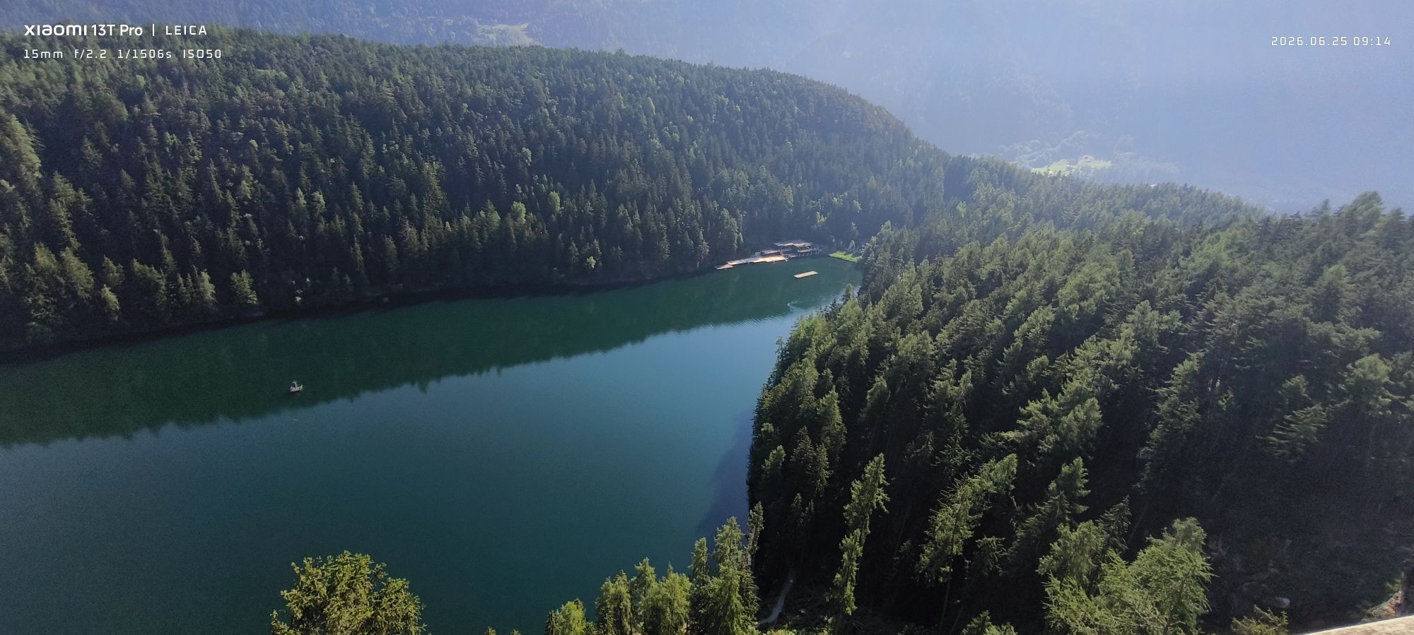
Oetz - Piburger See - Oetz
strednáTuristika 7,16 km -
4,7
Summit route Faltegartenköpfl
strednáTuristika 4,04 km -
4,1
Arzkasten - Lehnberghaus
svetloTuristika 3,08 km -
4,6
Umhausen - Stuibenfall - Umhausen
strednáTuristika 7,94 km -
4,5
Summit route Weather Cross from Hochoetz
strednáTuristika 3,06 km -
4,7
Circular hike Bergmahderweg - Niederthai
svetloTuristika 7,60 km -
4,8
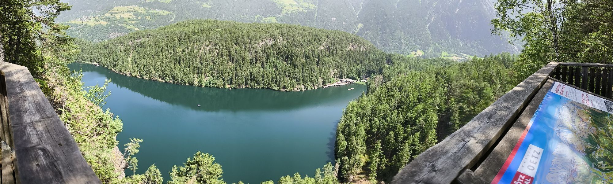
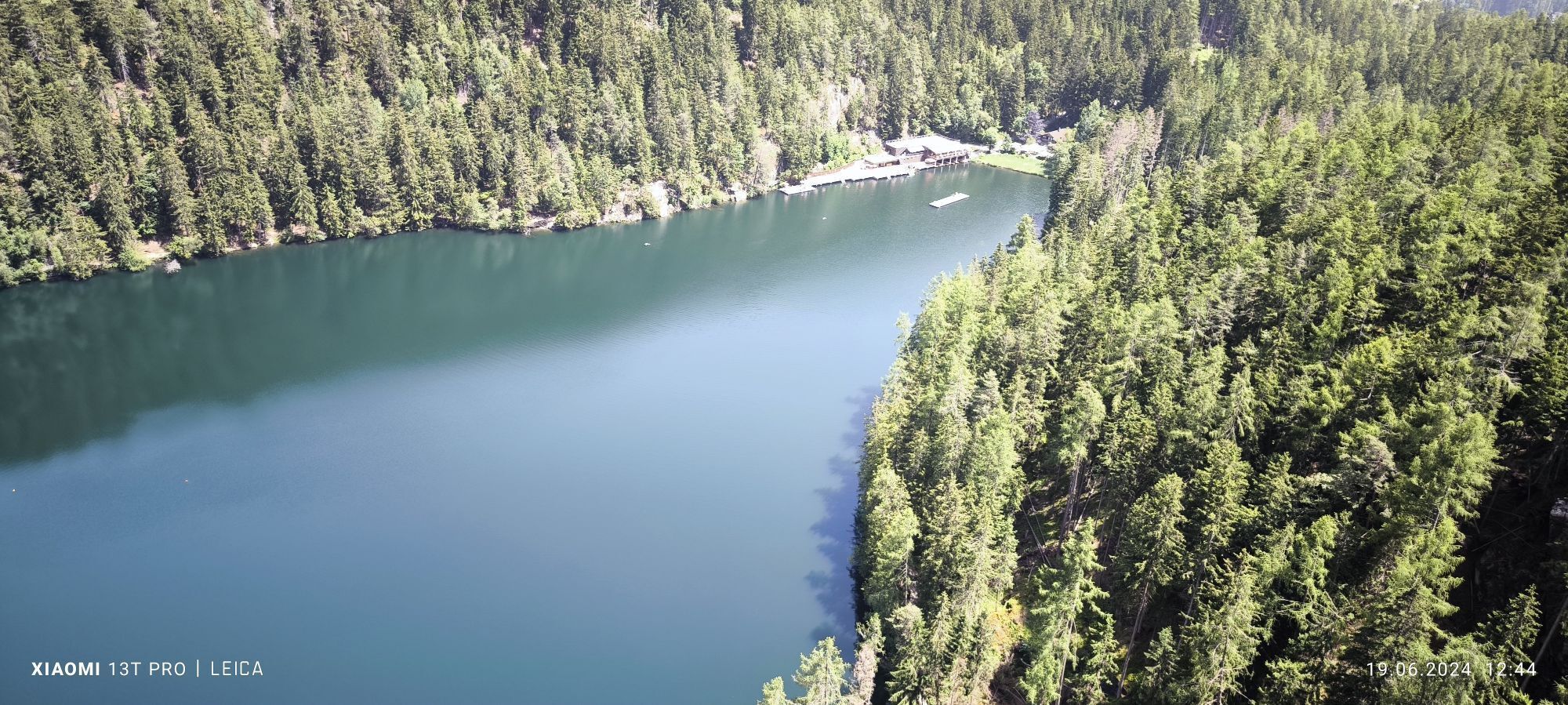
lake Piburger See
svetloTuristika 2,75 km
Turistika a stopovanie


Nenechajte si ujsť ponuky a inšpiráciu na ďalšiu dovolenku
Vaša e-mailová adresa bol pridaný do poštového zoznamu.