







601 Schweinfurter Hut
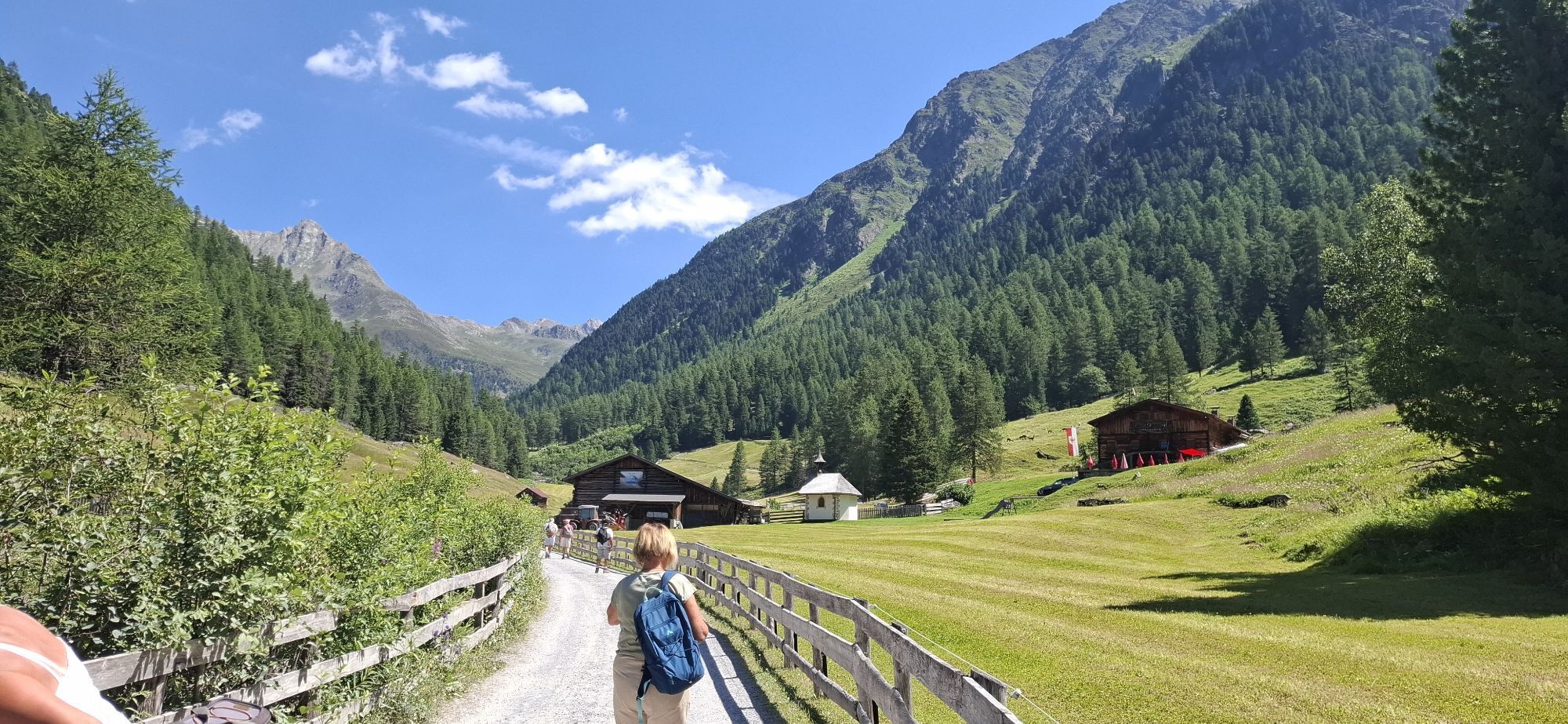
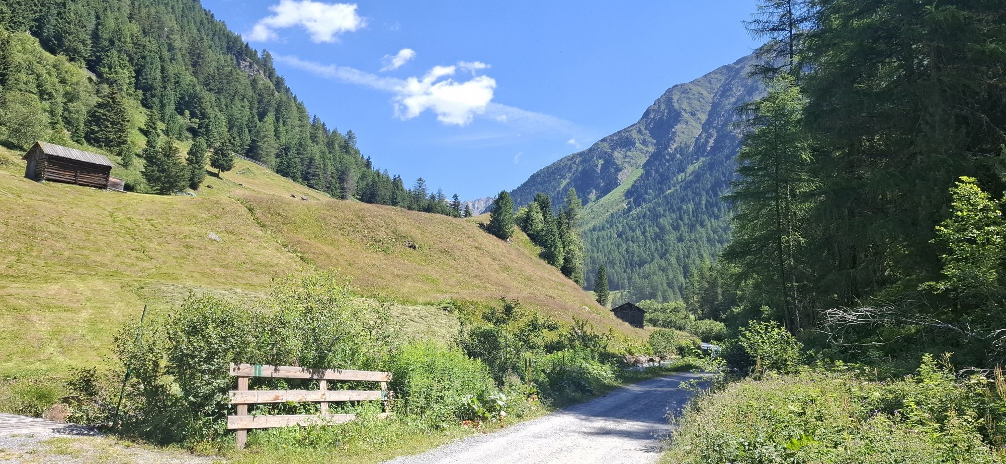
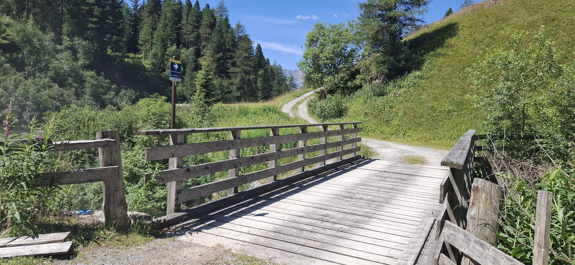
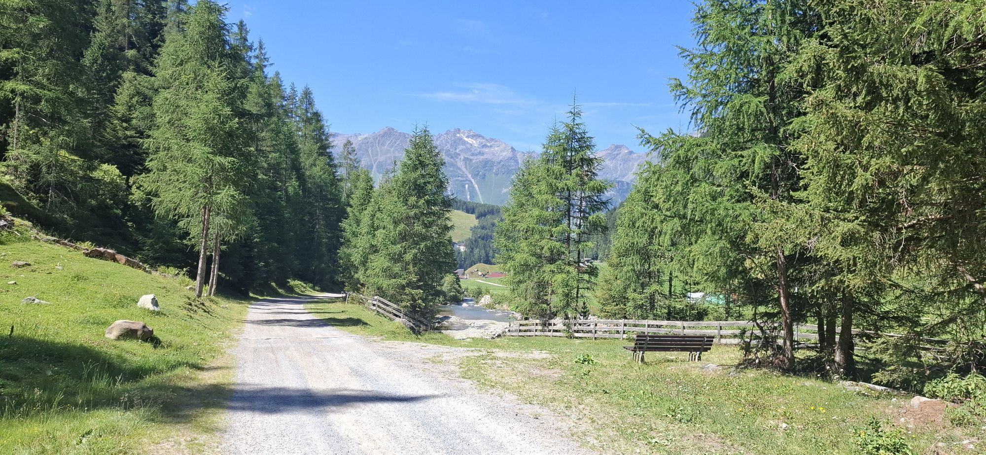
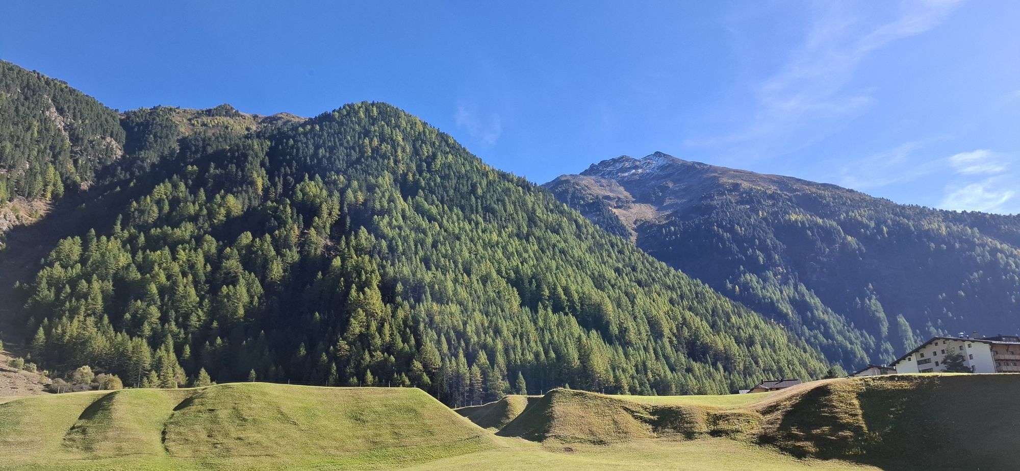
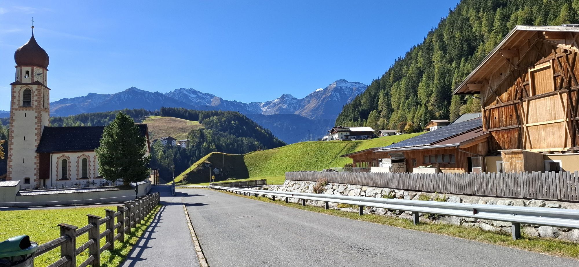
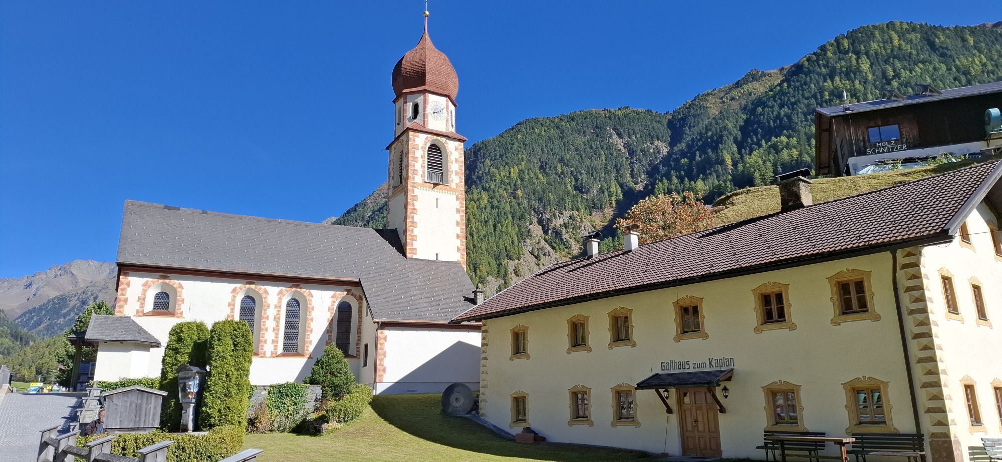
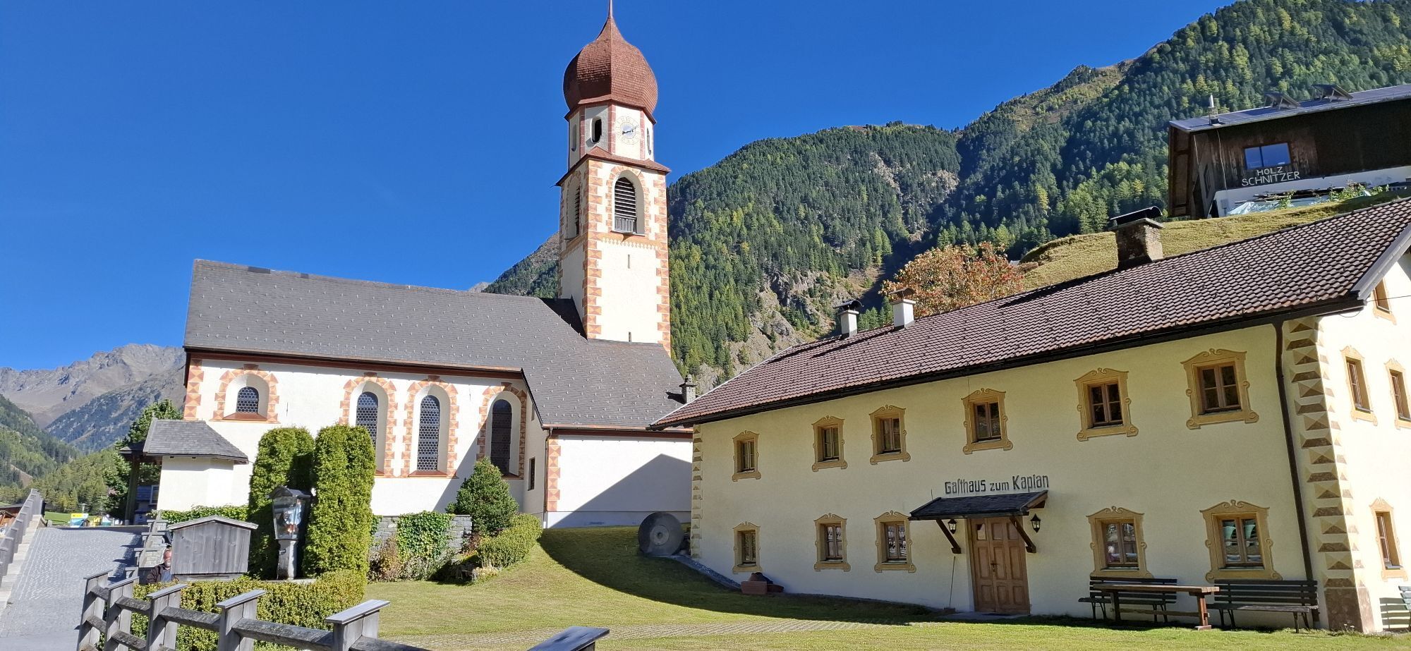
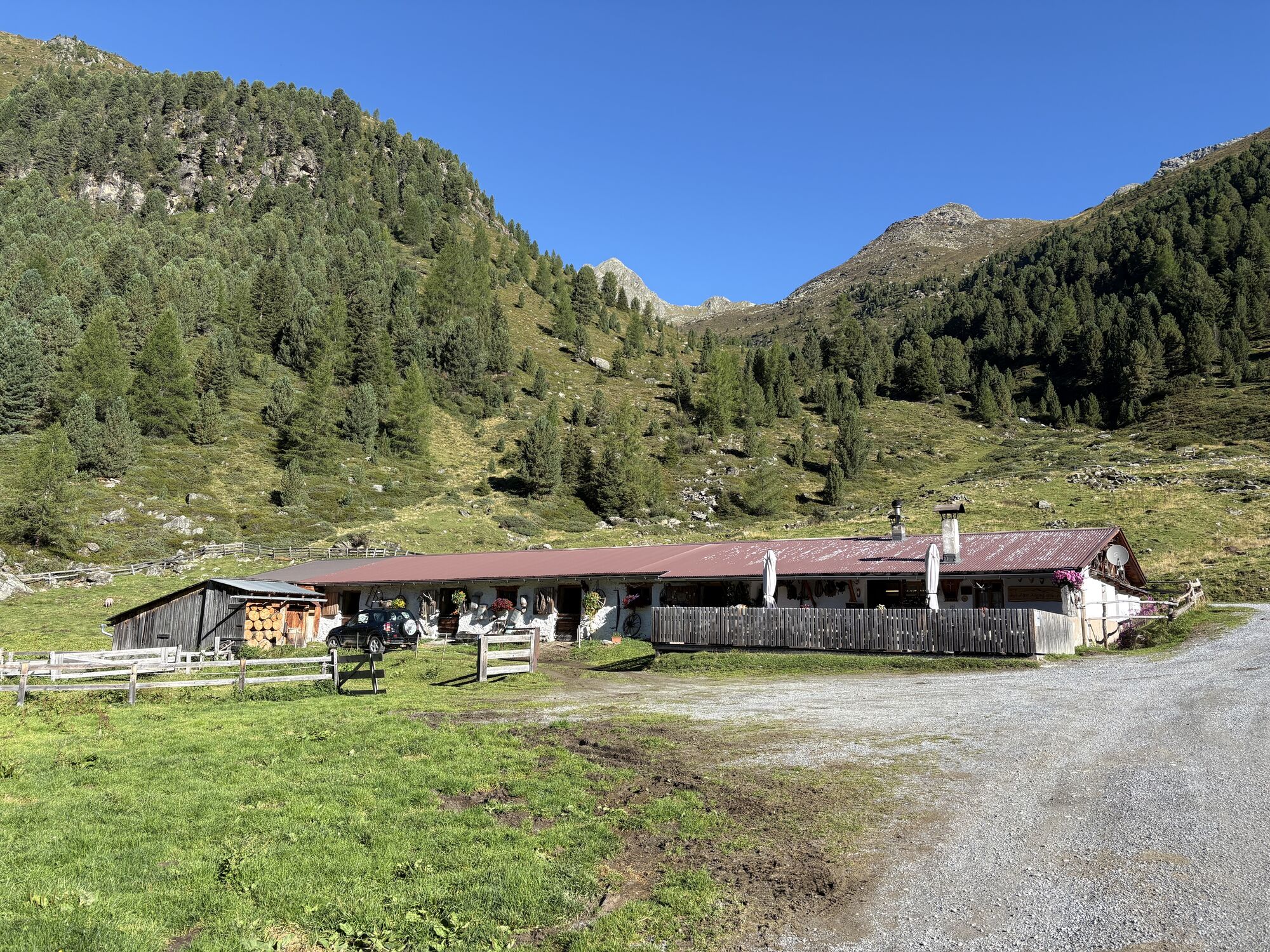

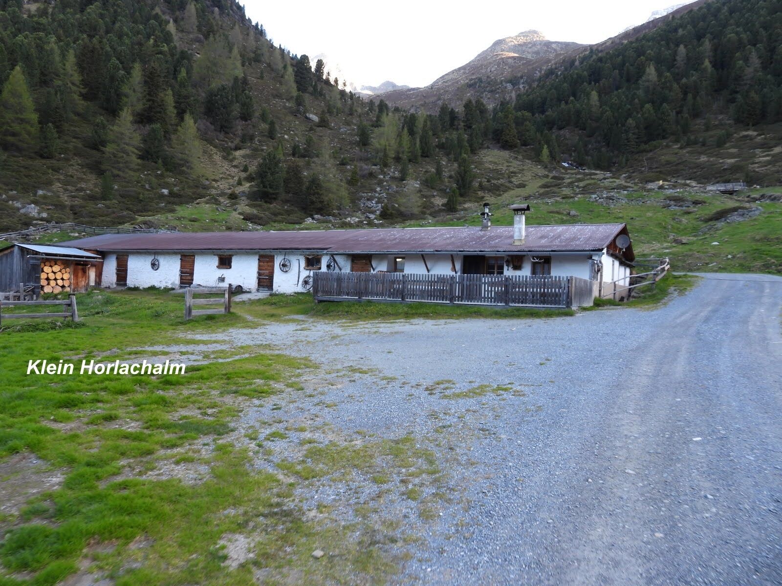
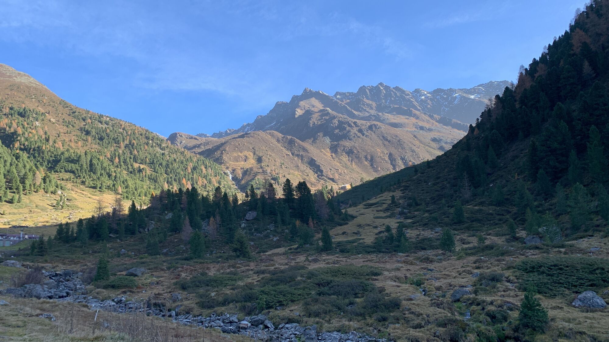
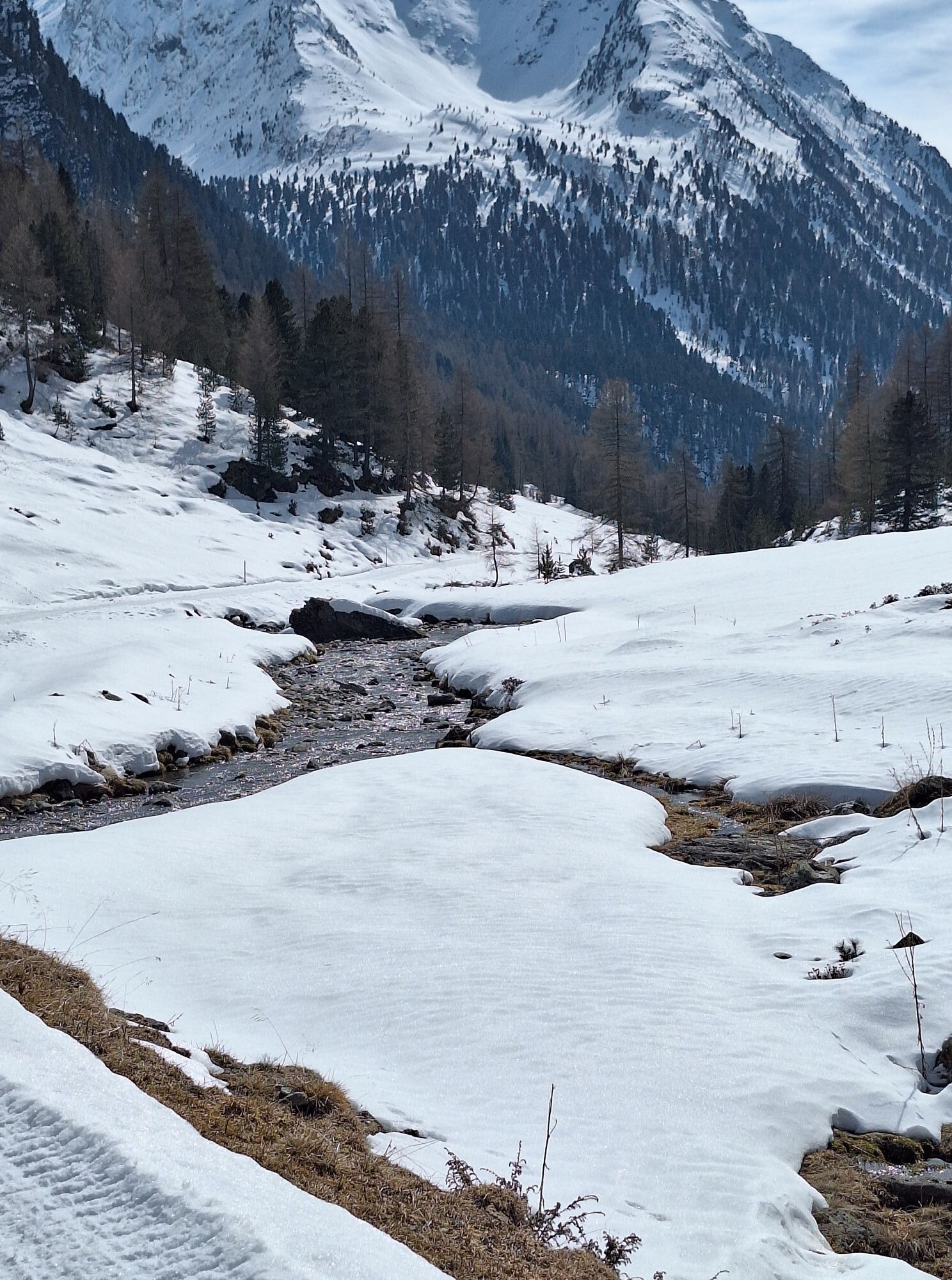
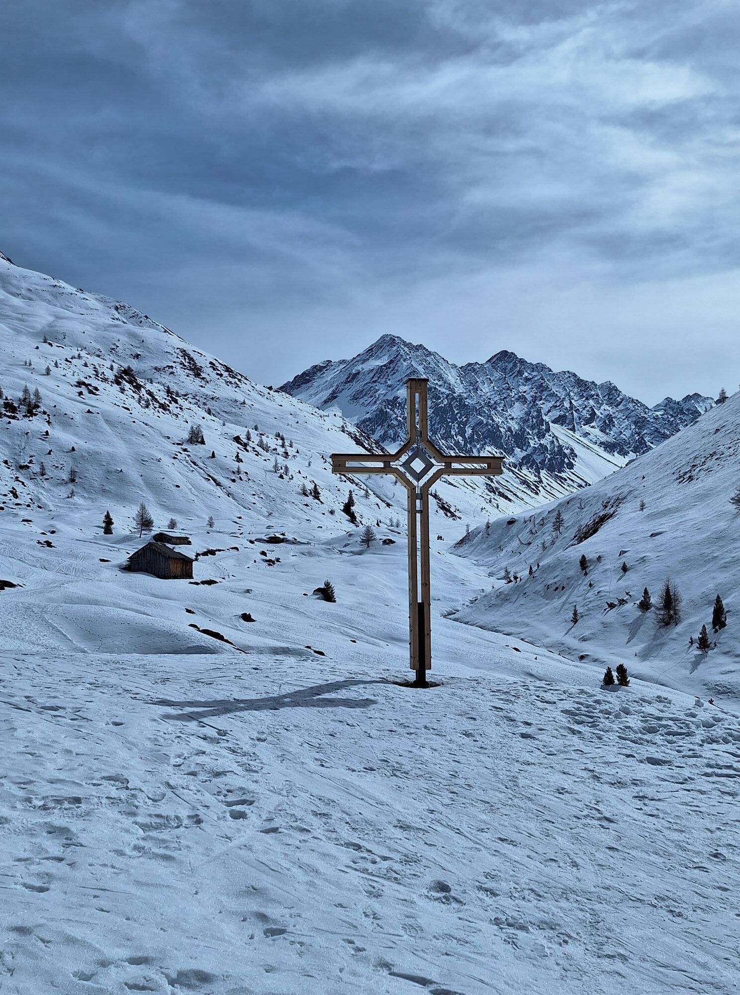
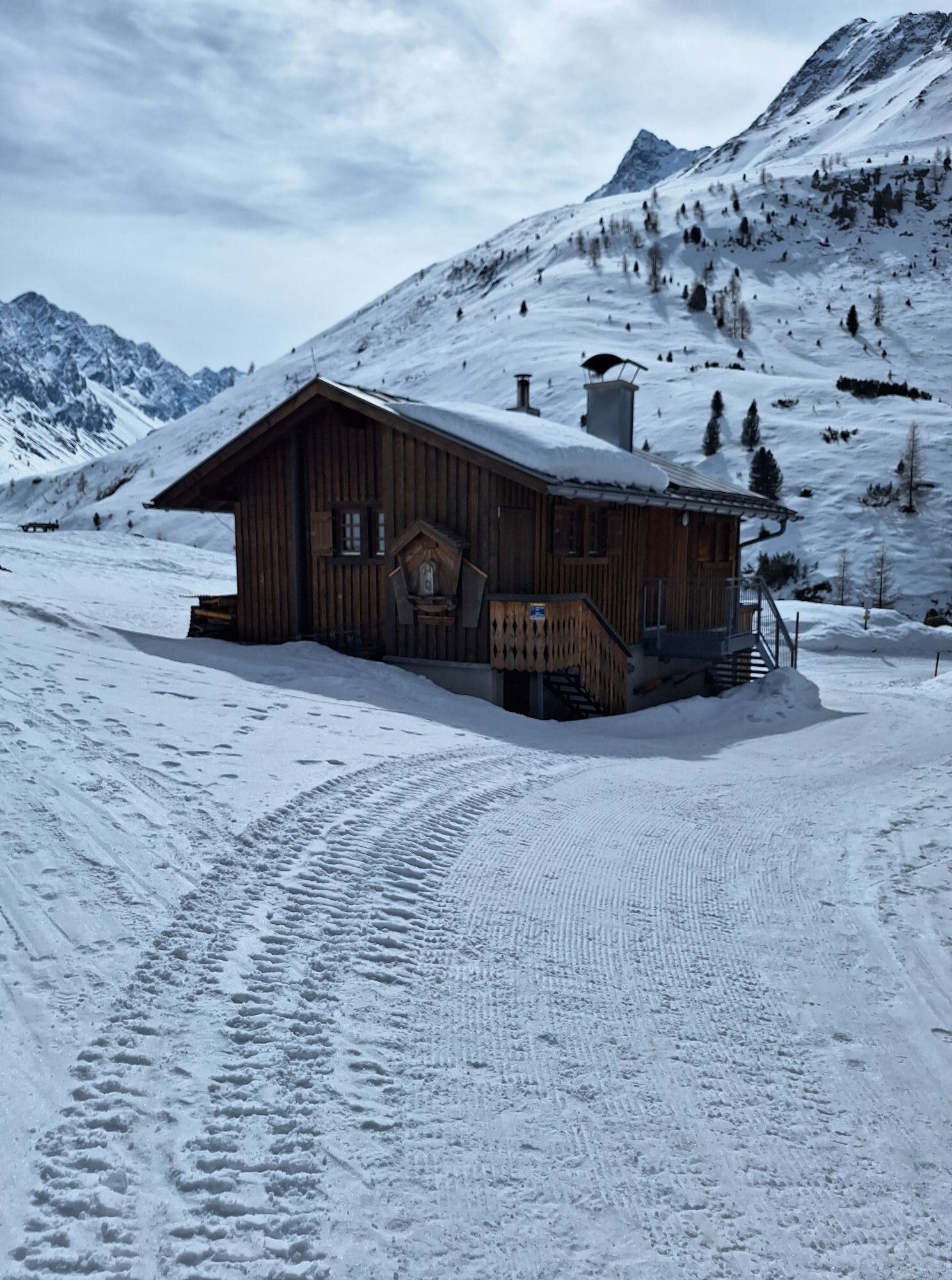
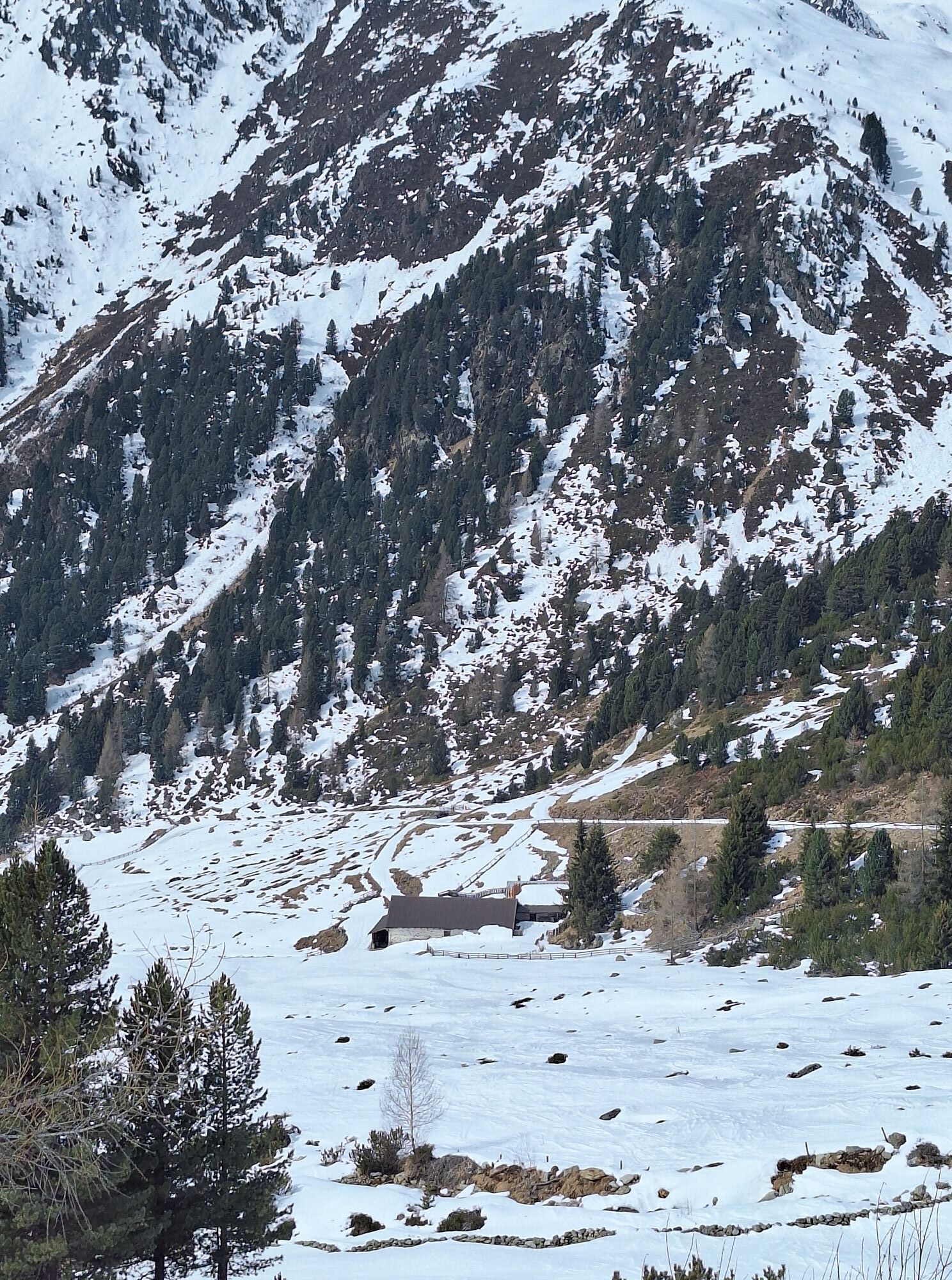
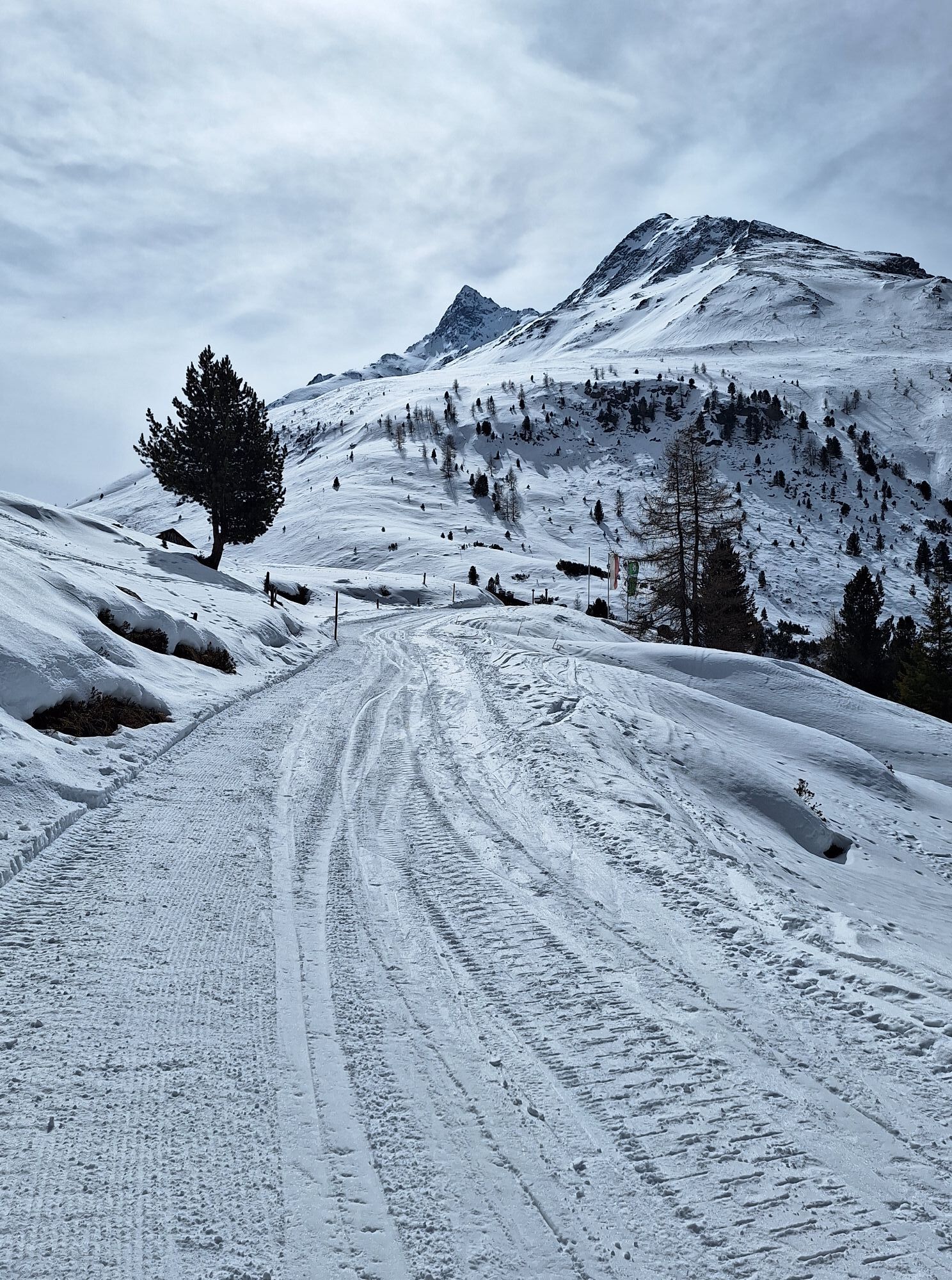
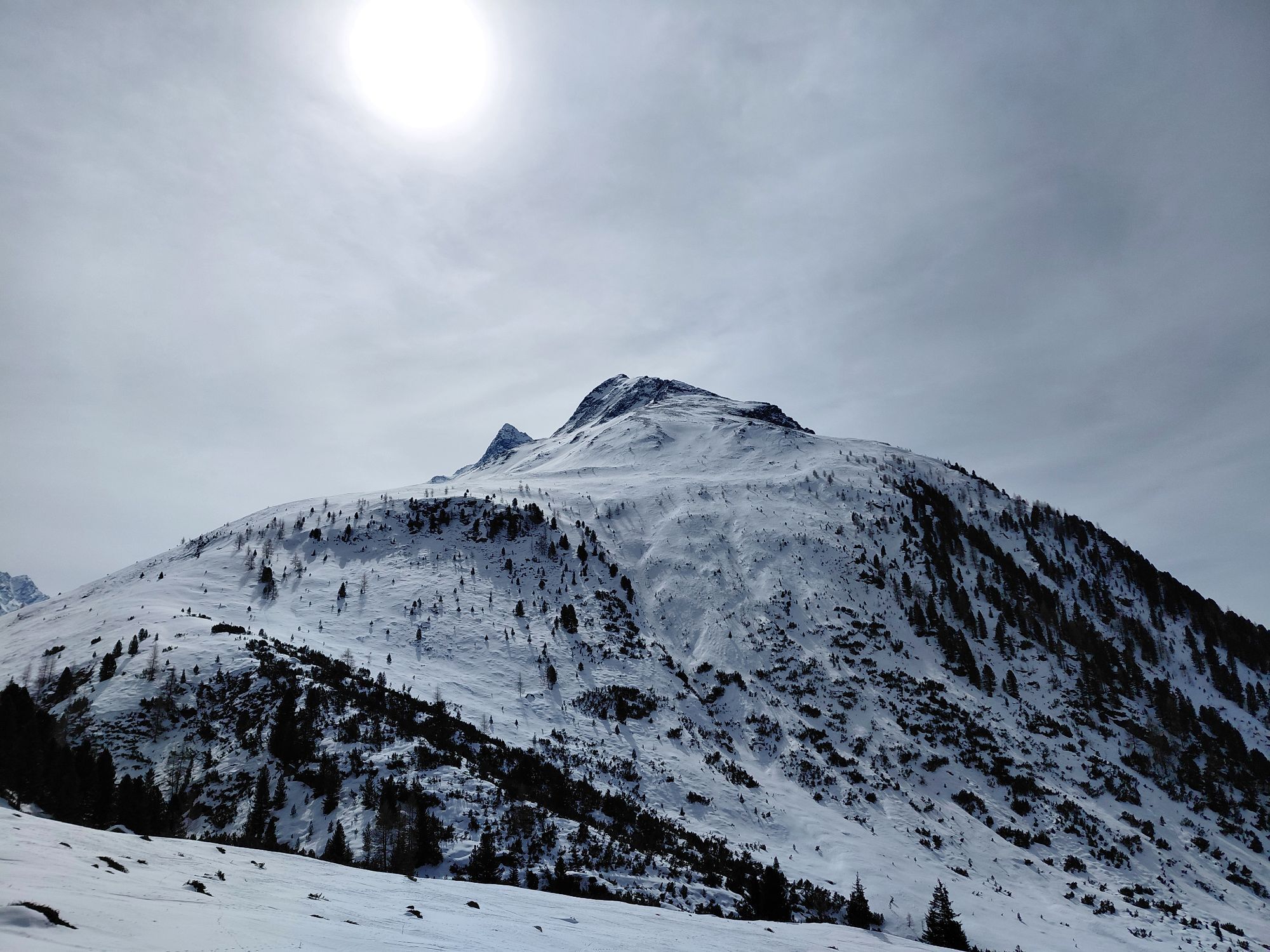
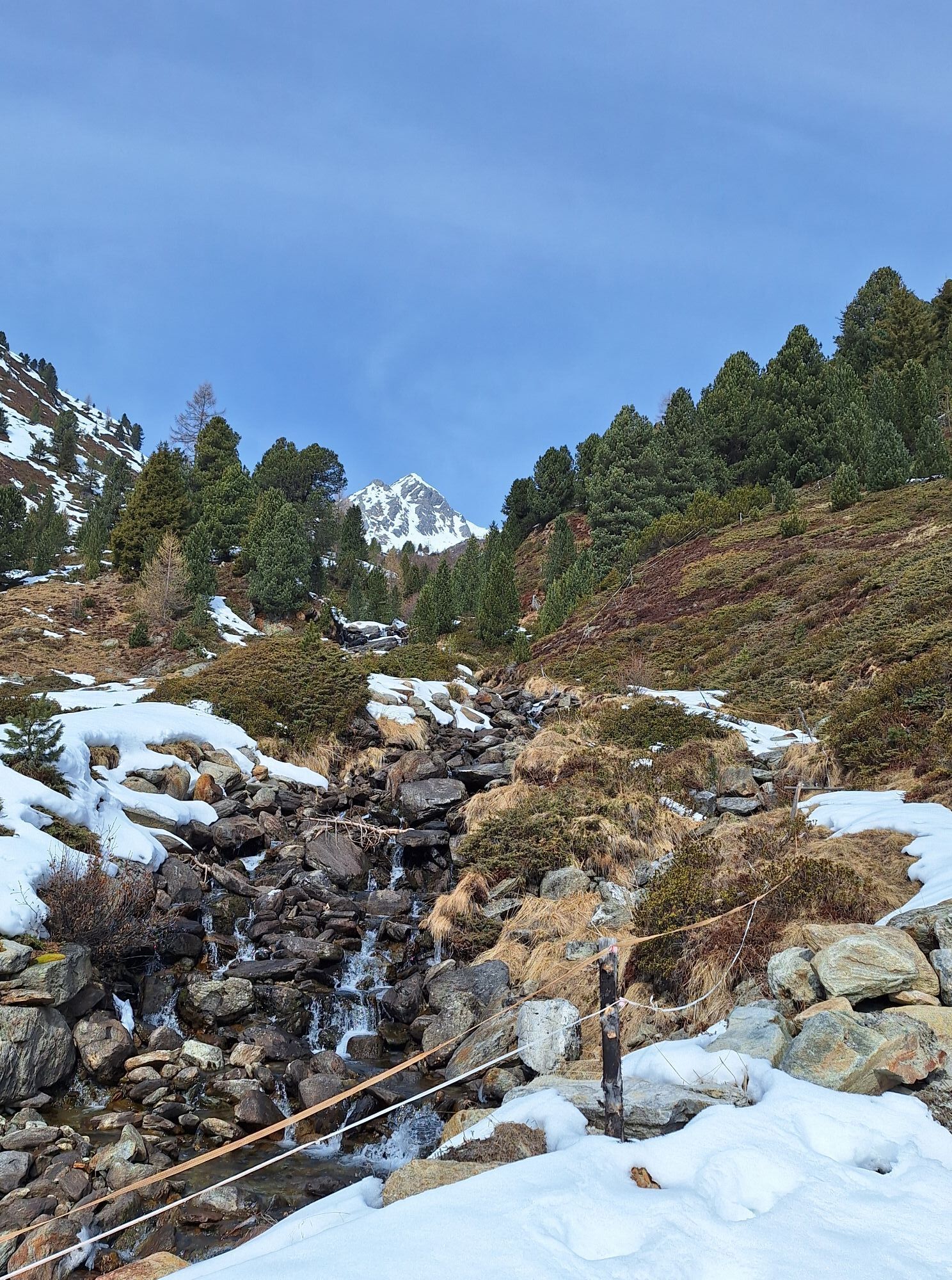
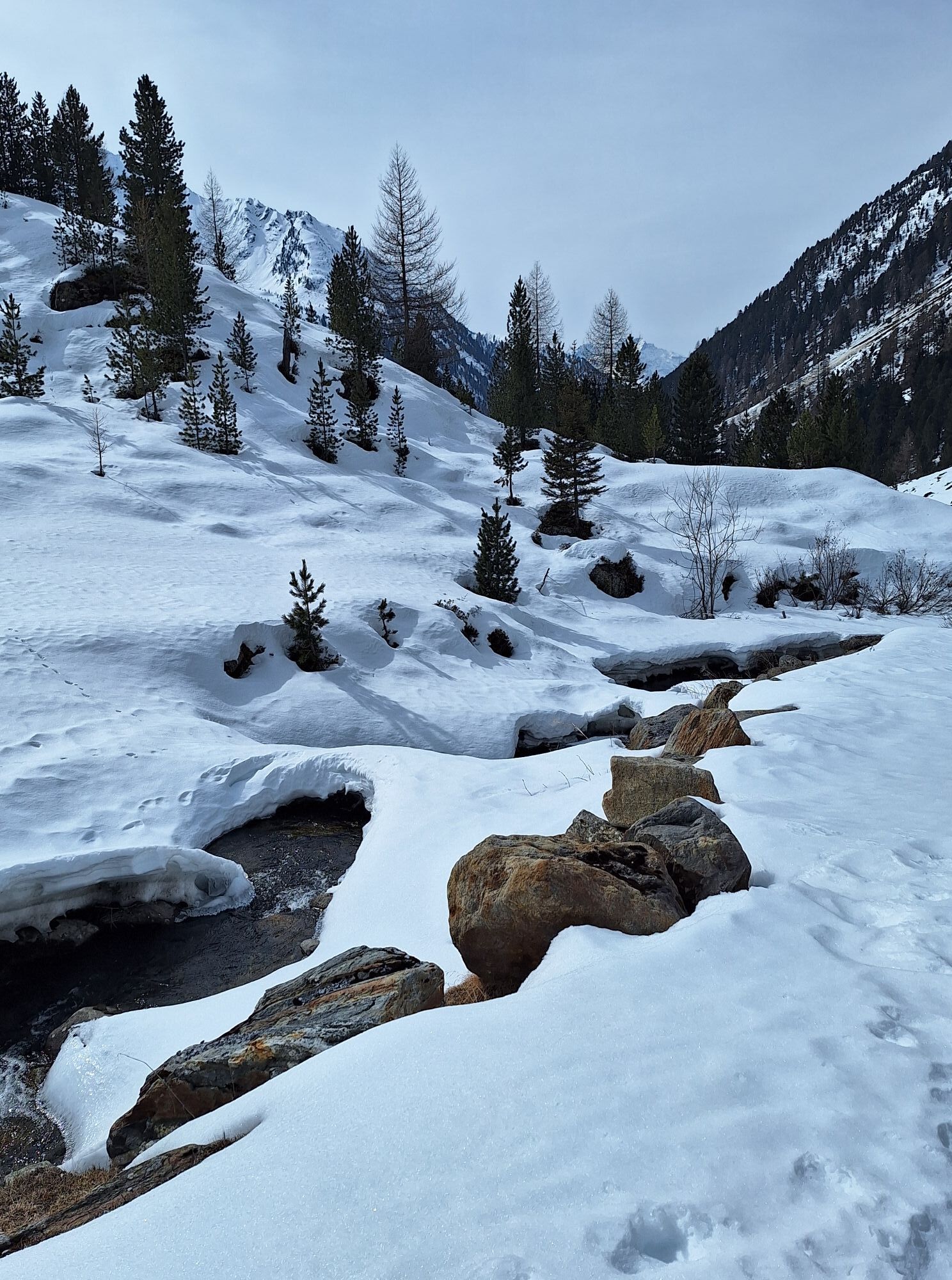
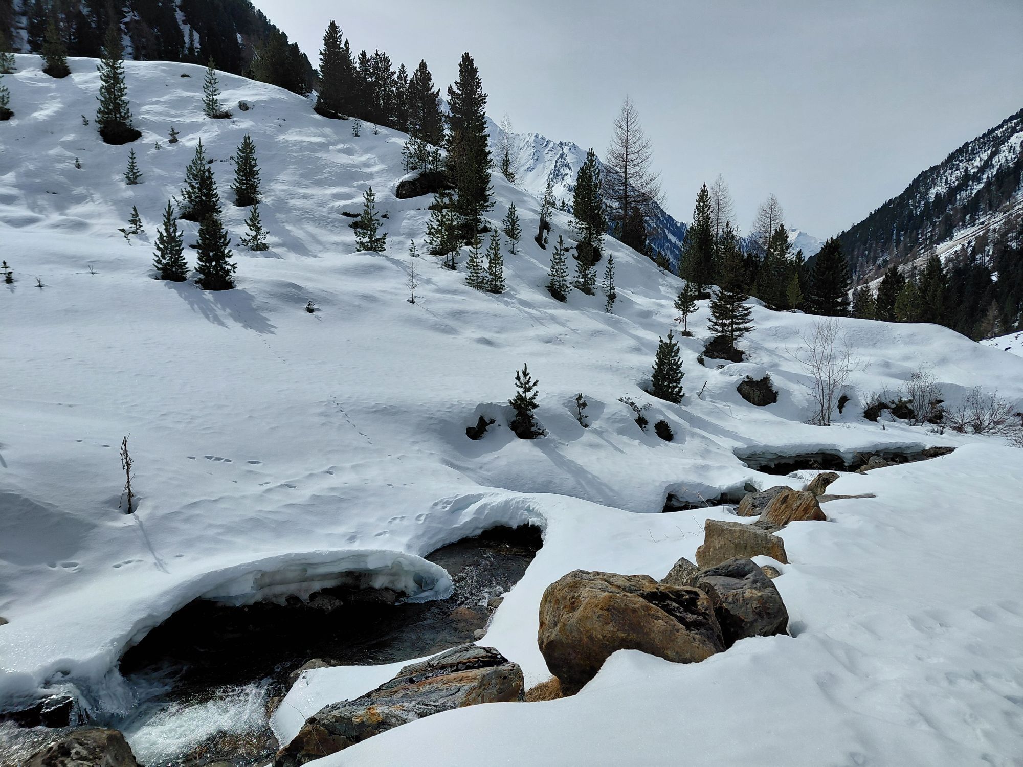
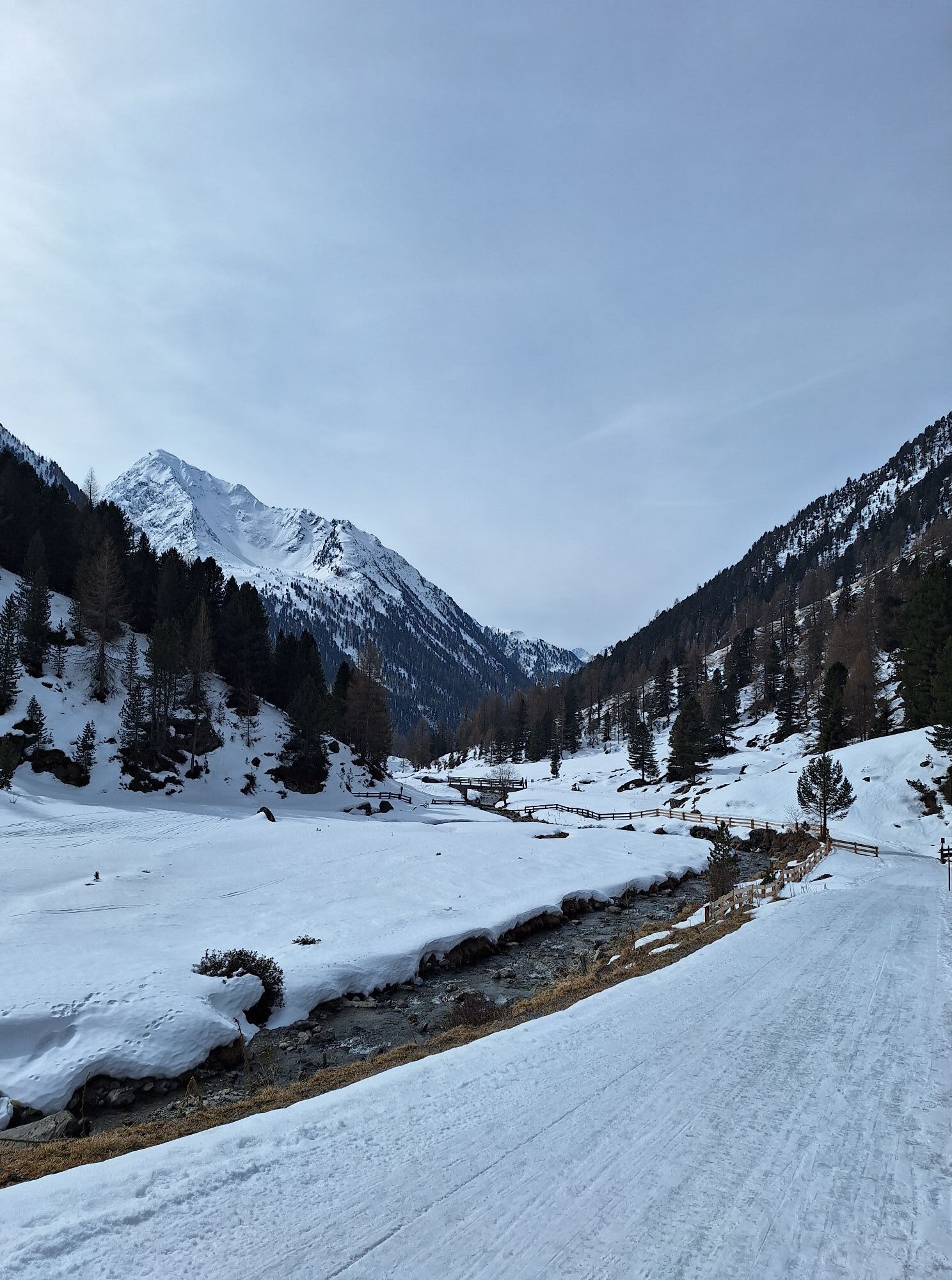
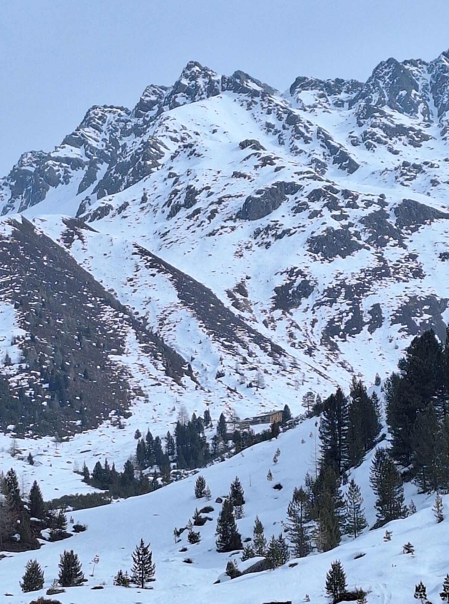
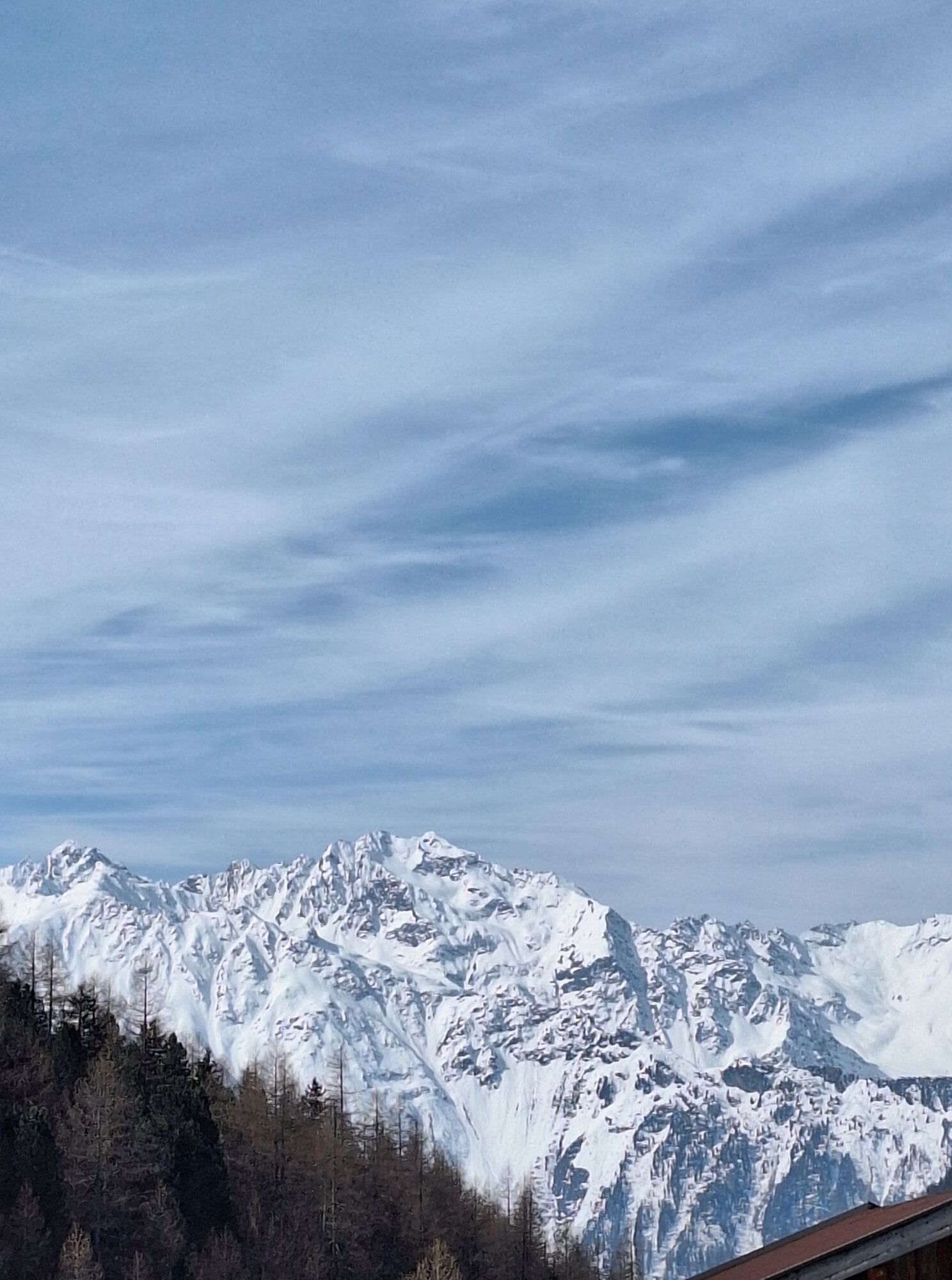
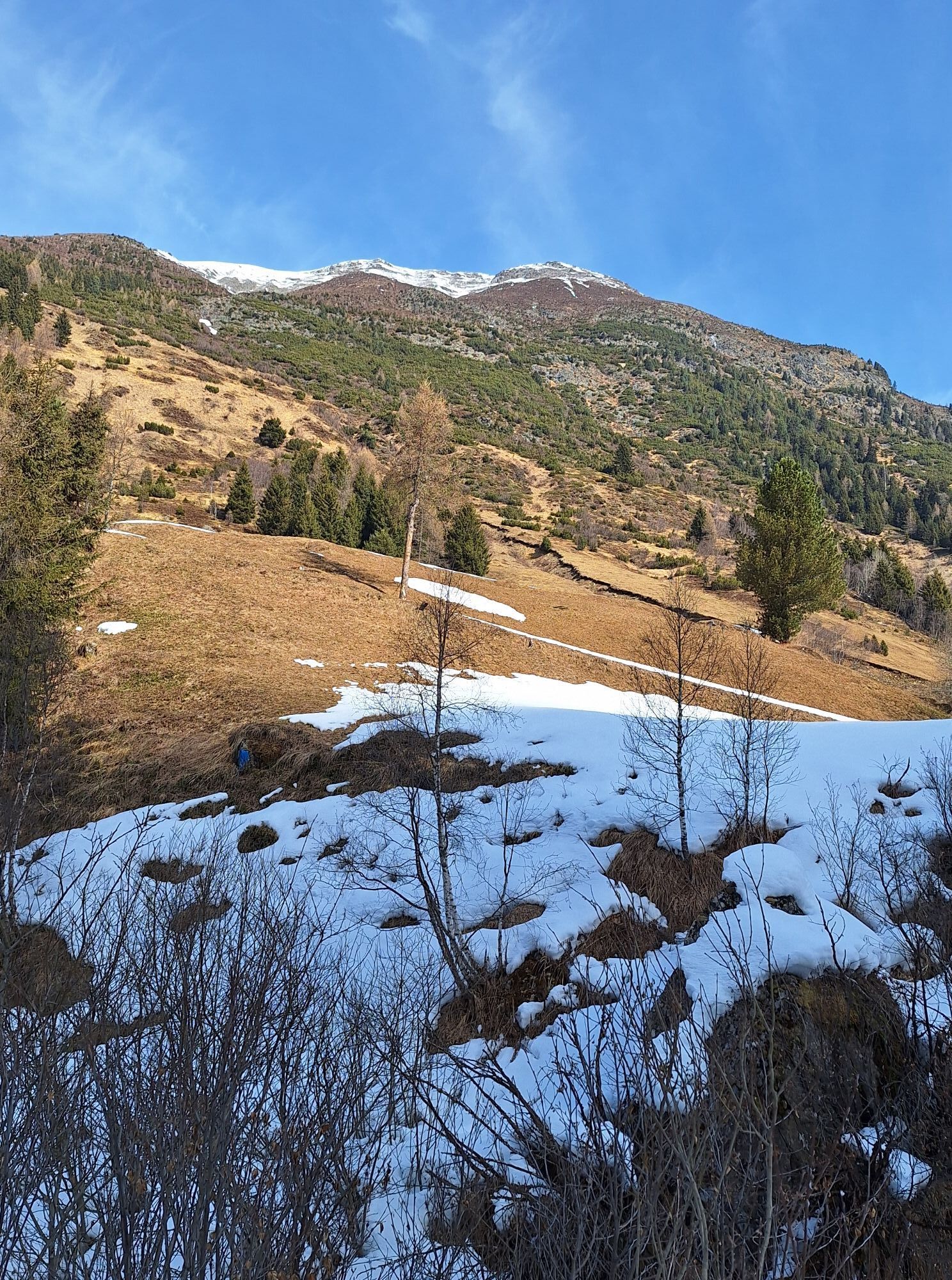
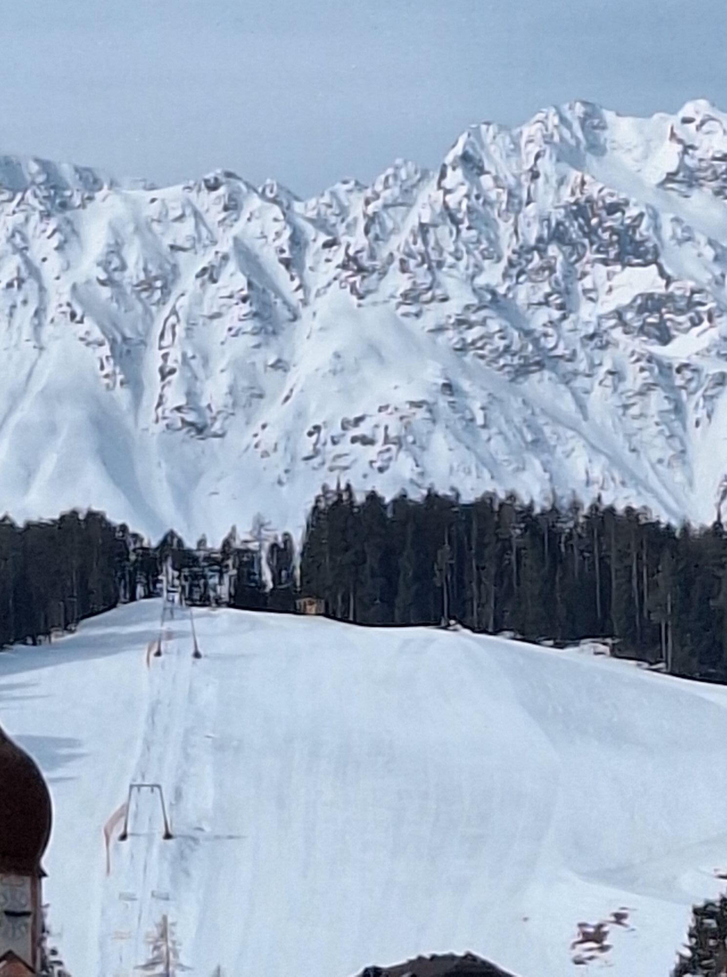
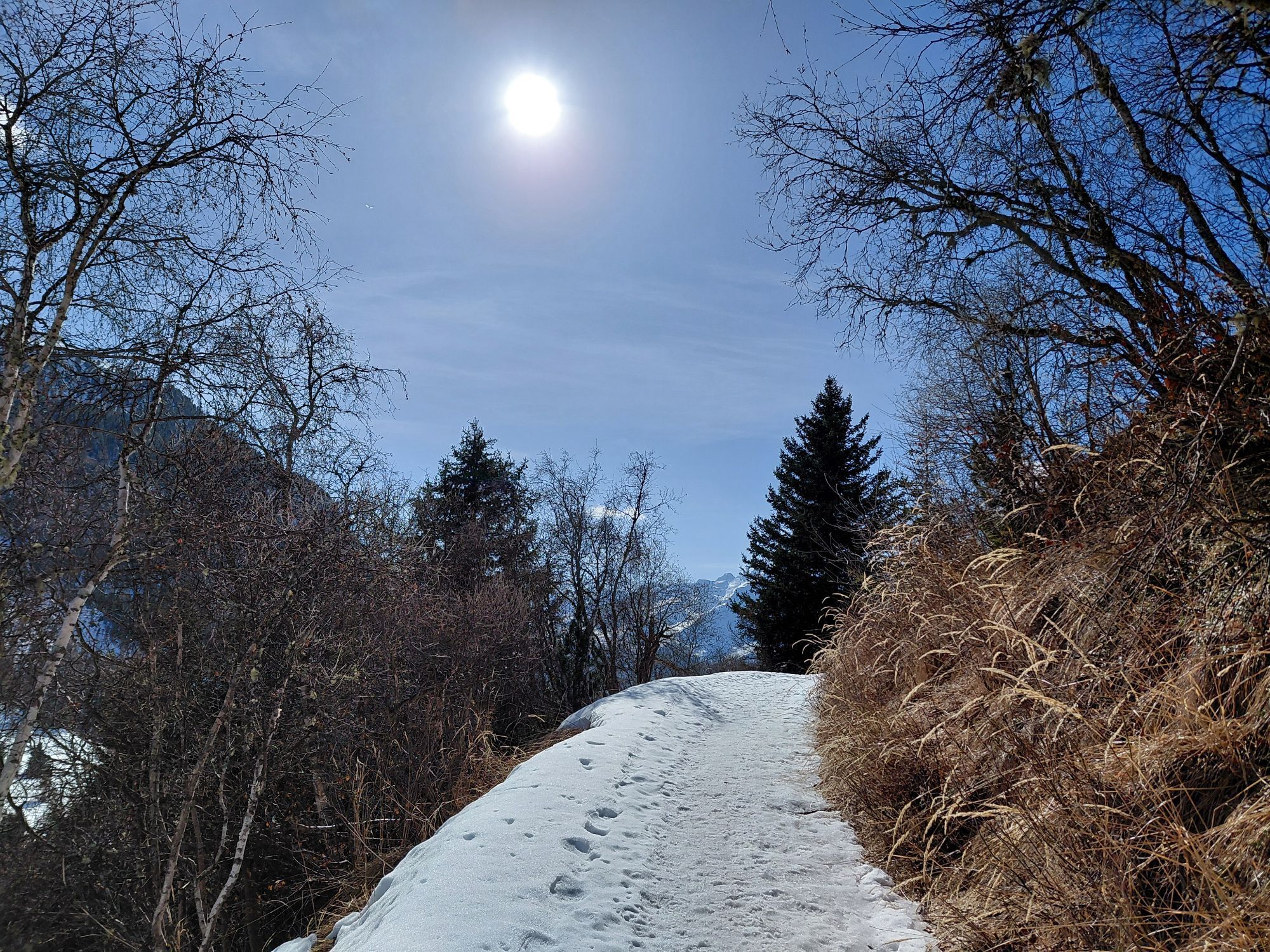
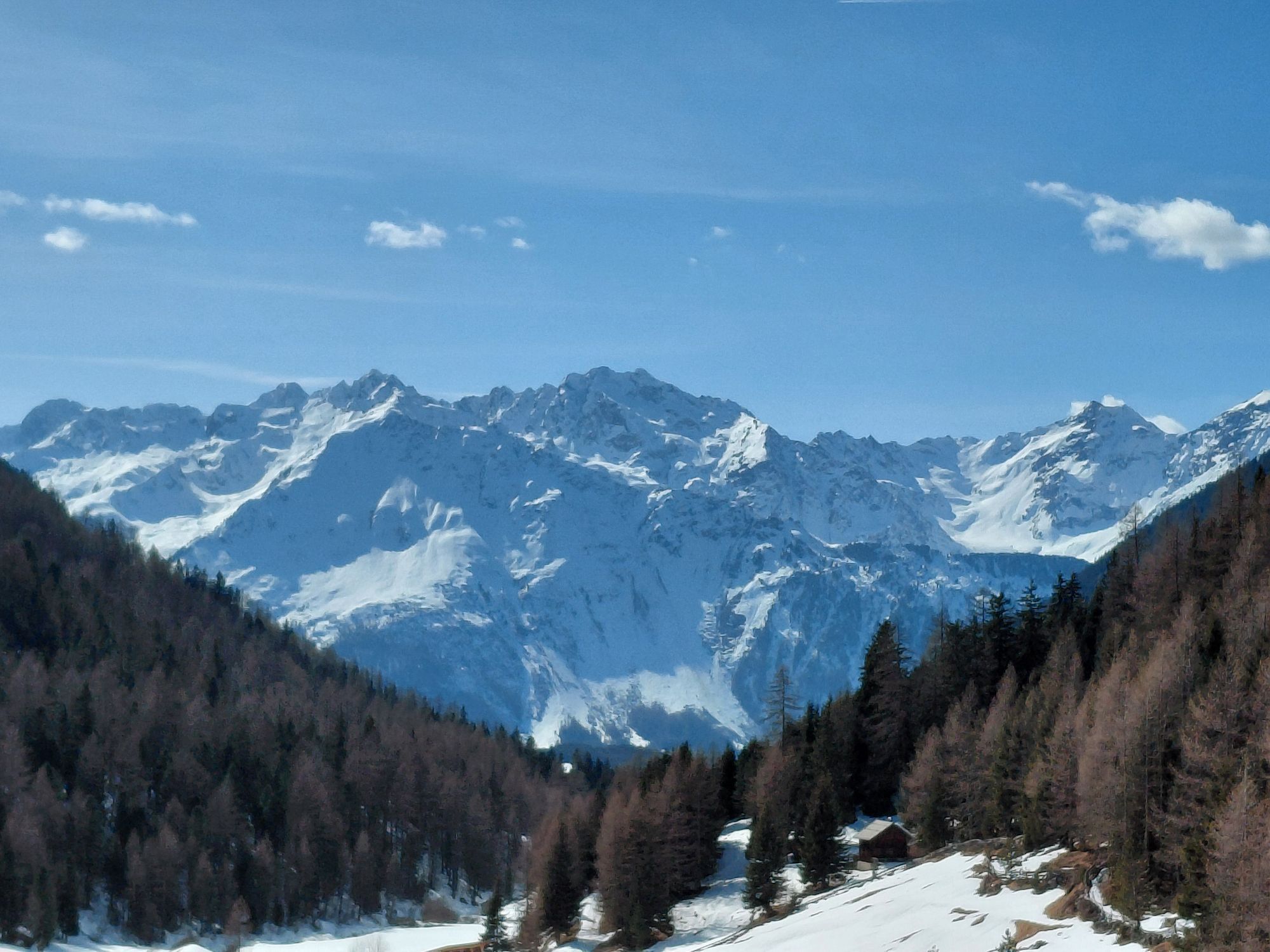
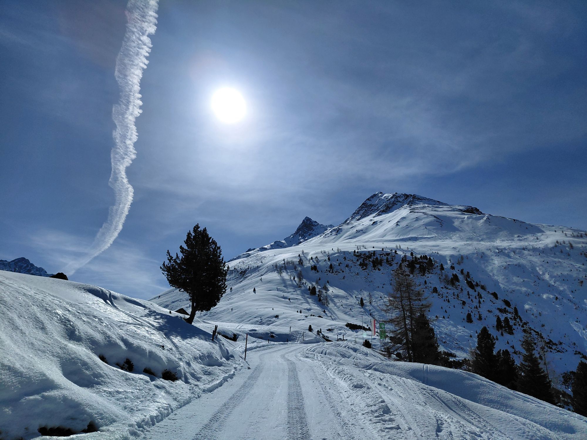
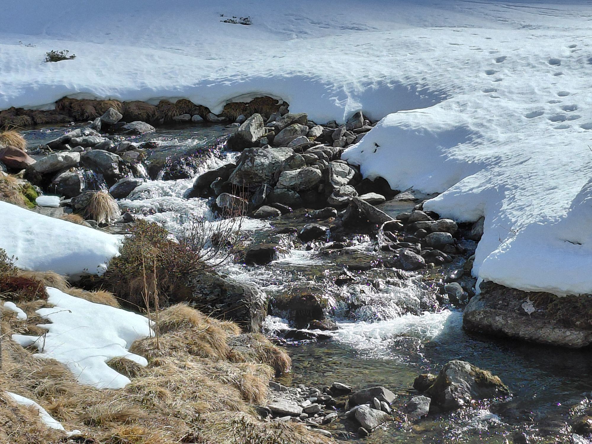
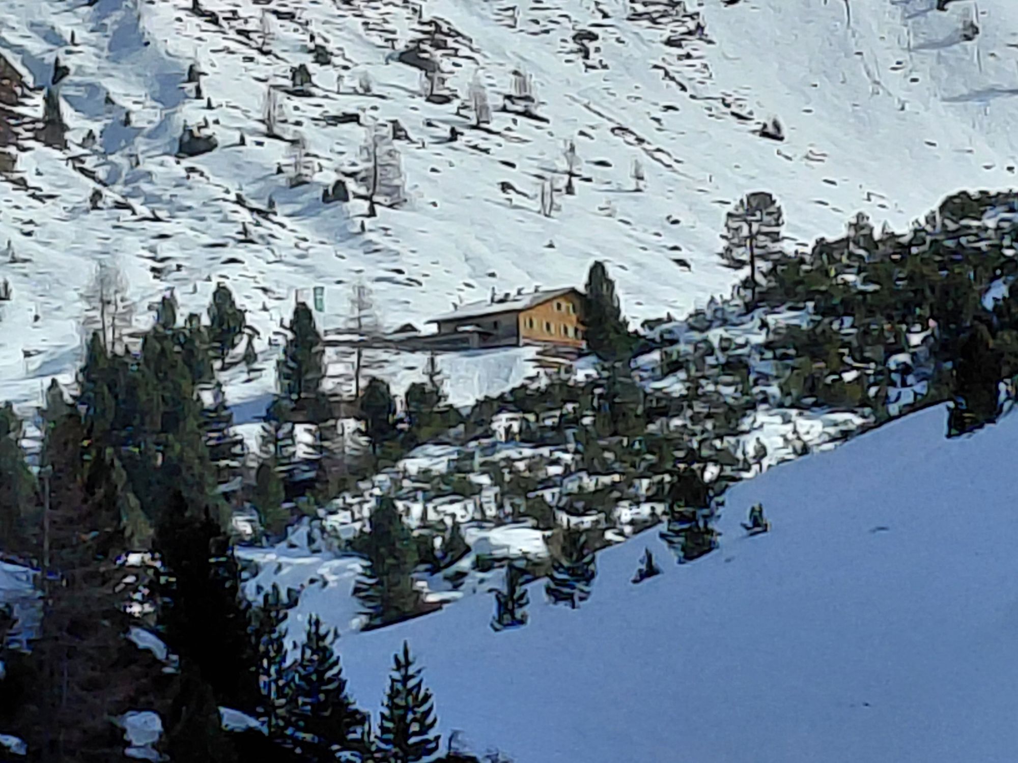
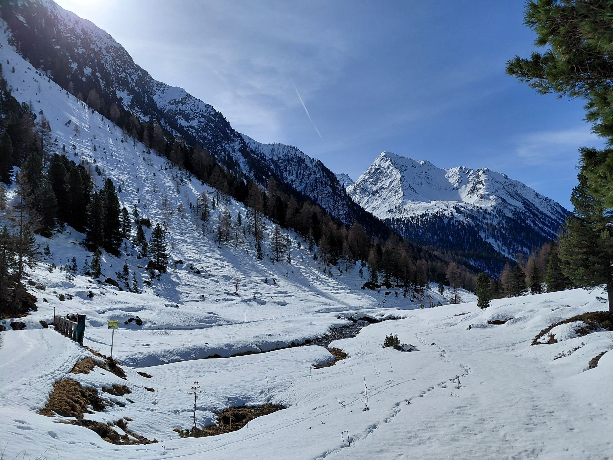
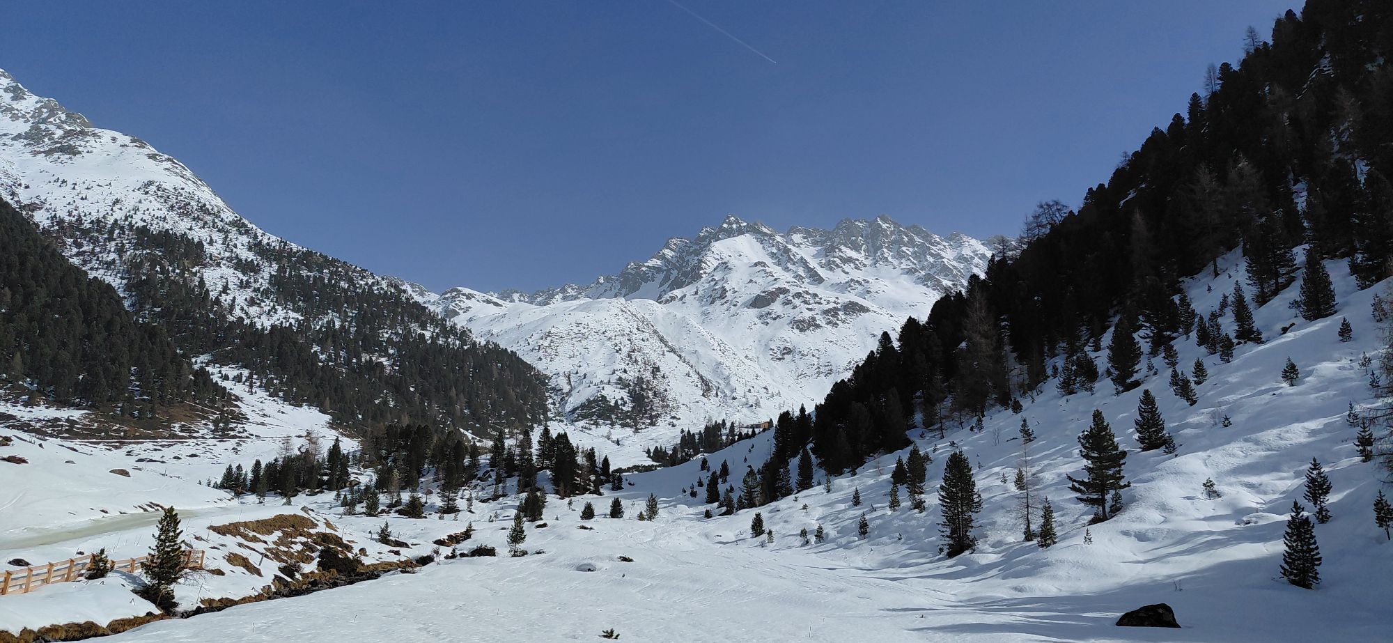
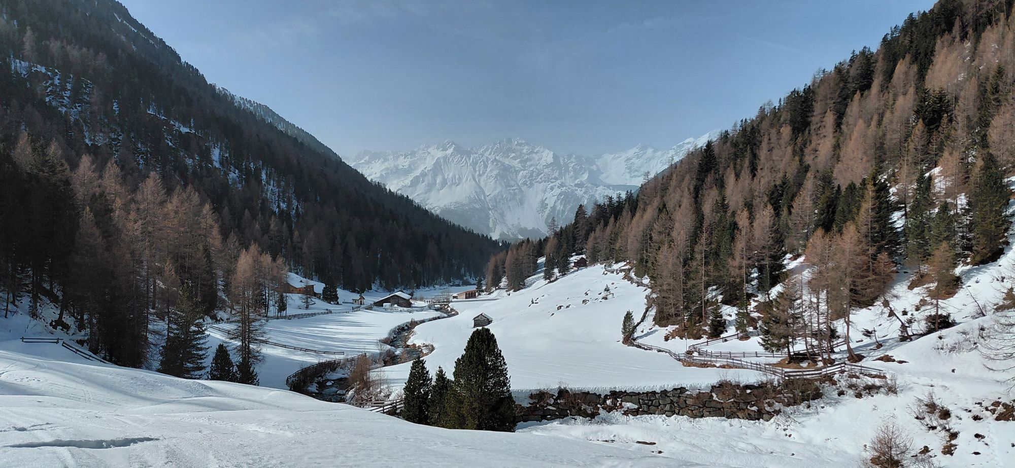
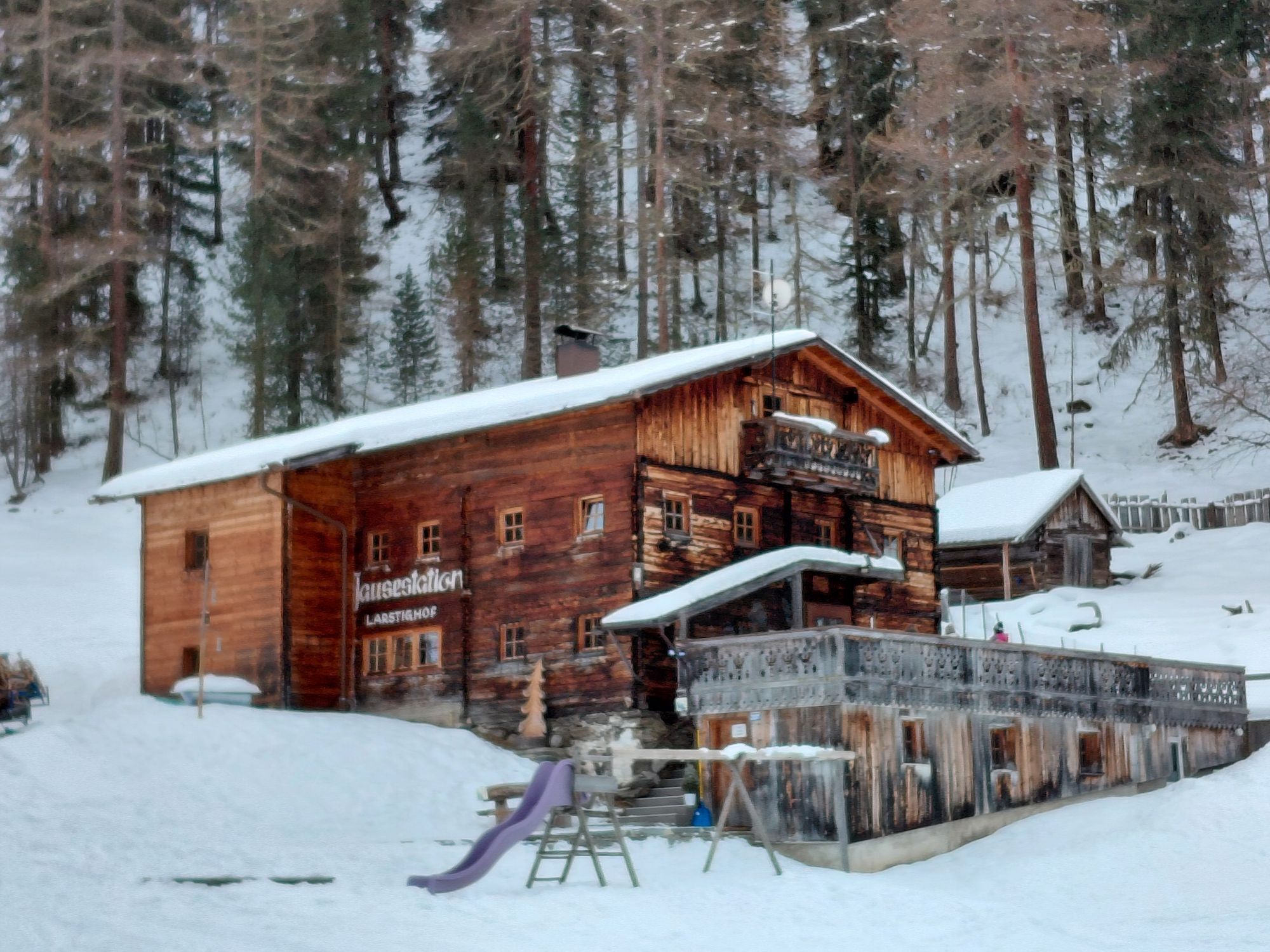
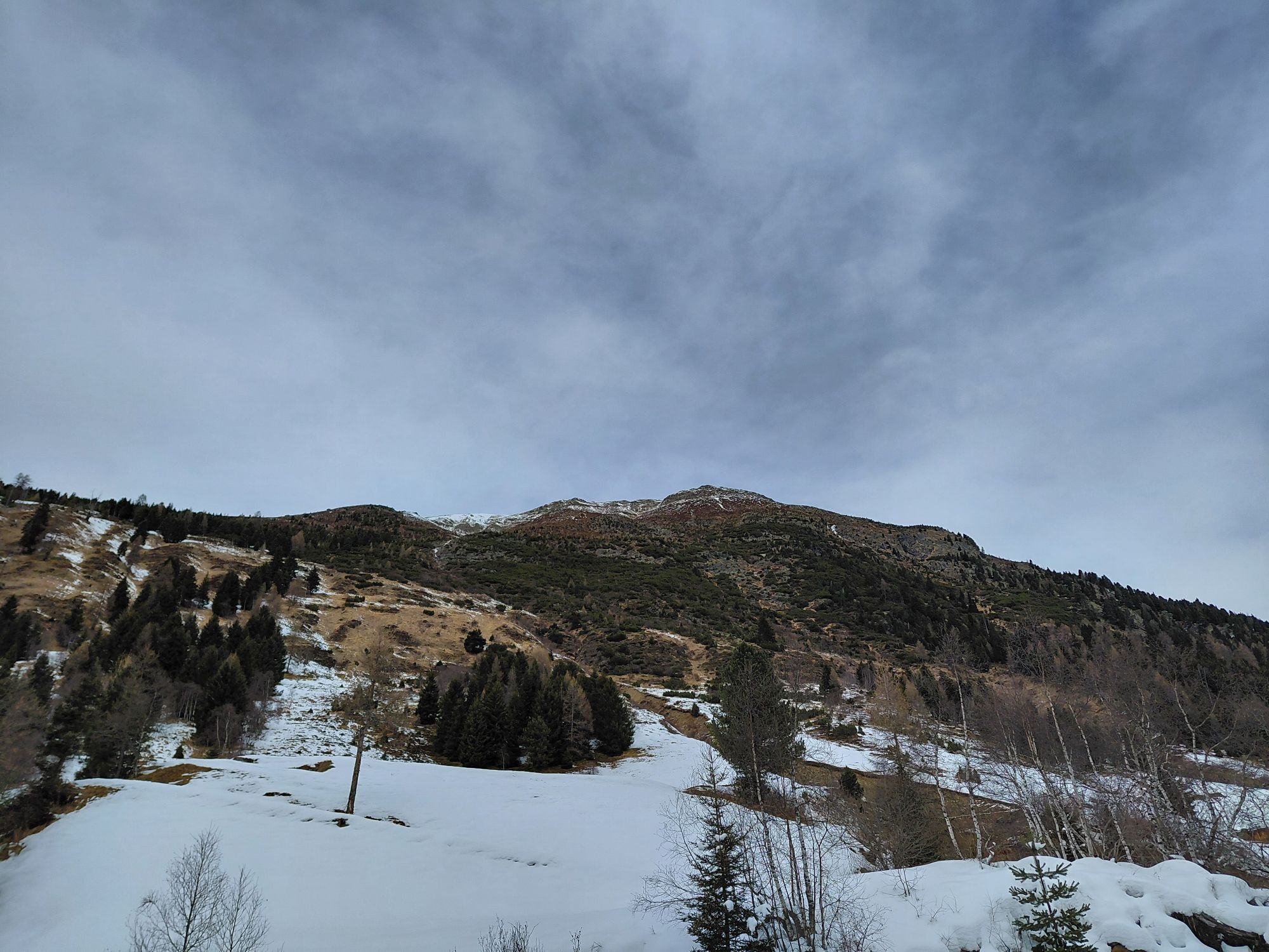
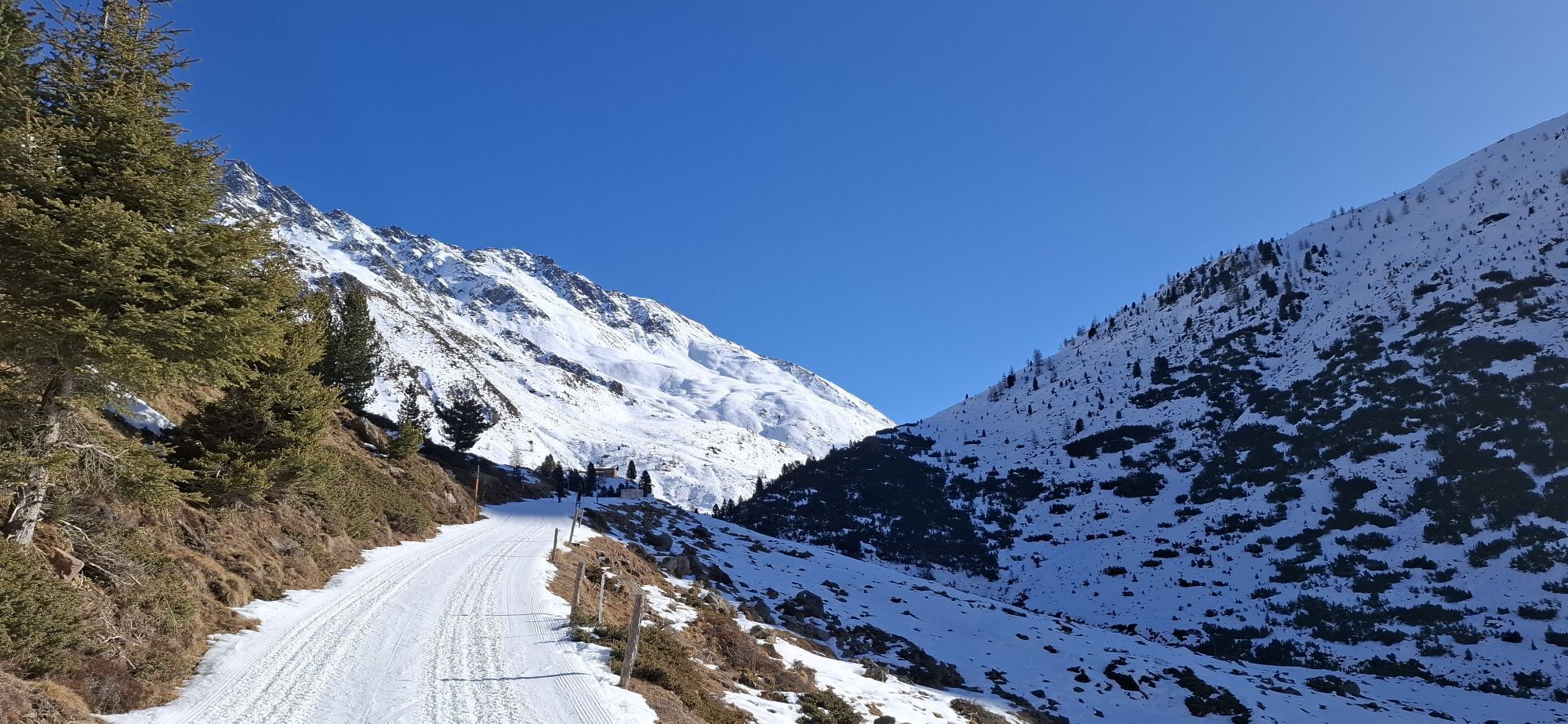
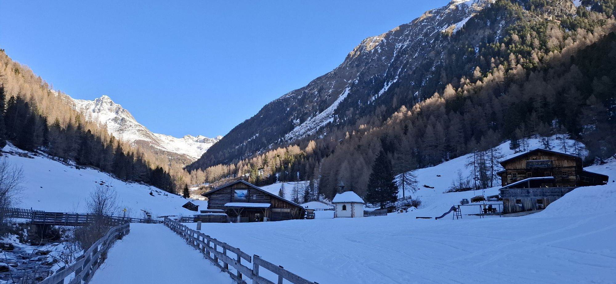
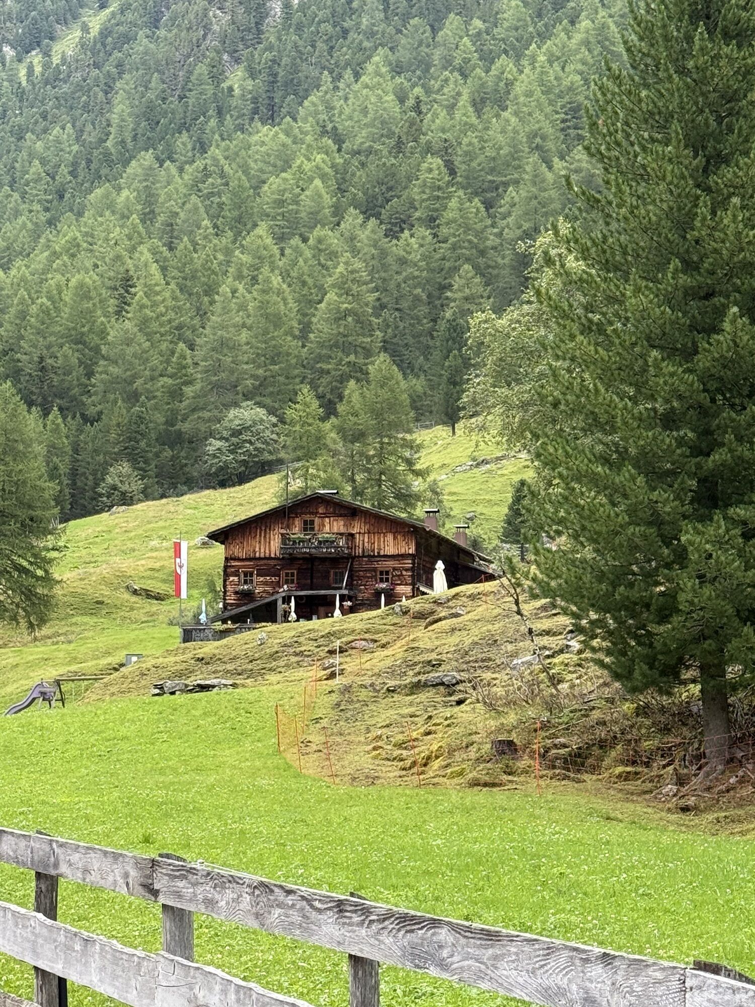
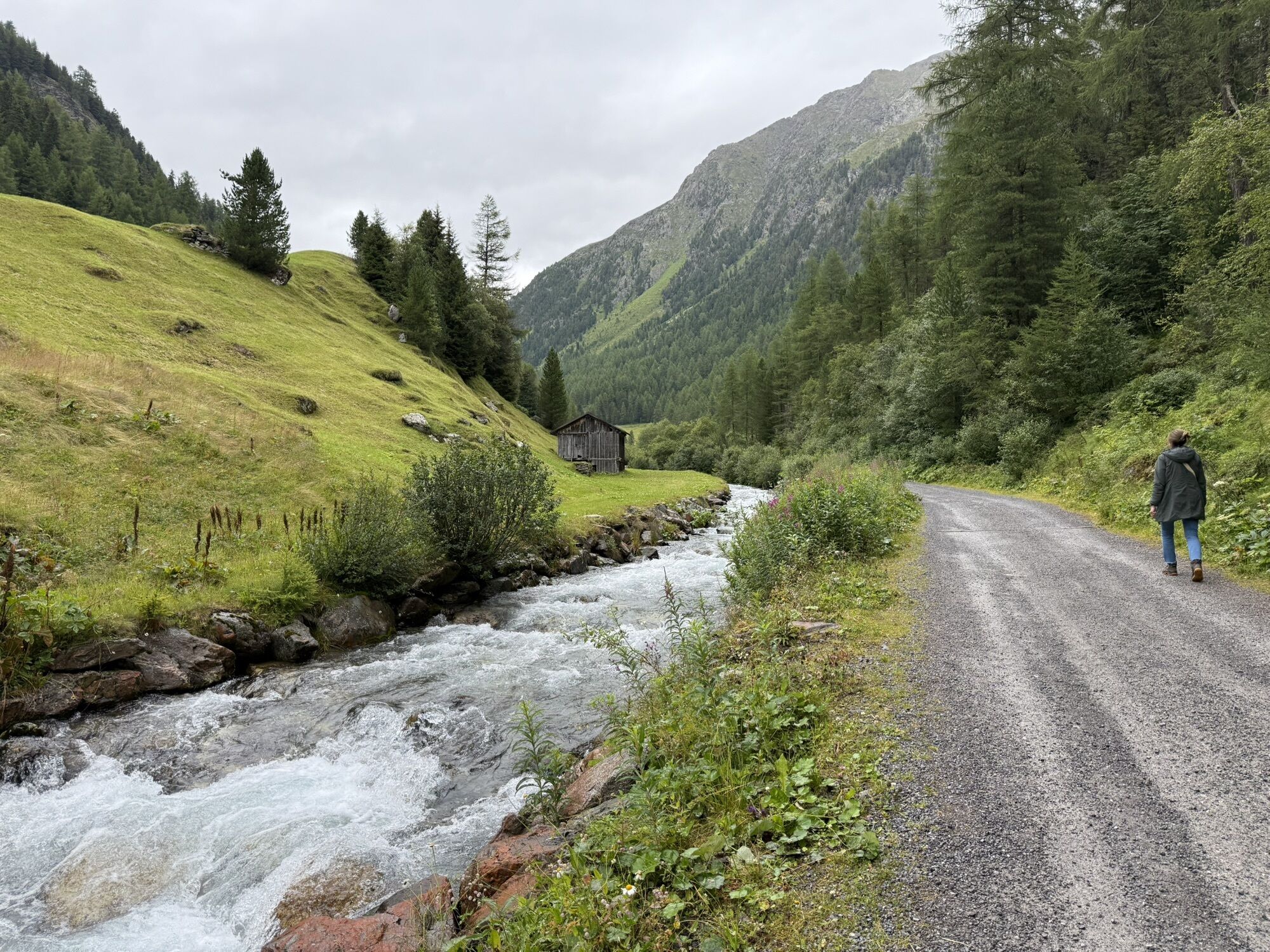
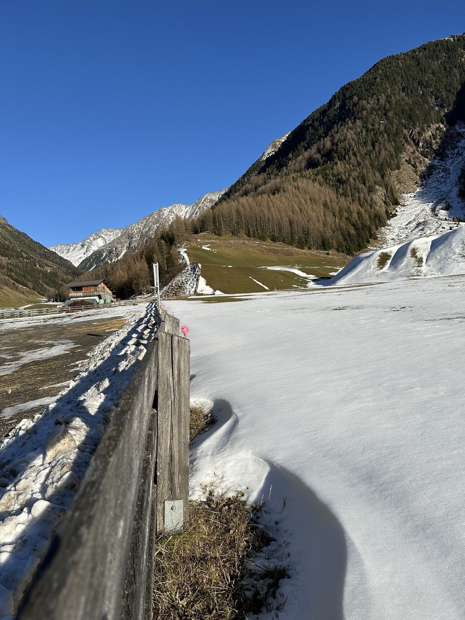
The starting point is at the Sennhof parking lot (next to the Niederthai information center). From there, follow the wide gravel path towards Larstig Alm. Along the Horlachbach, the route climbs more and...
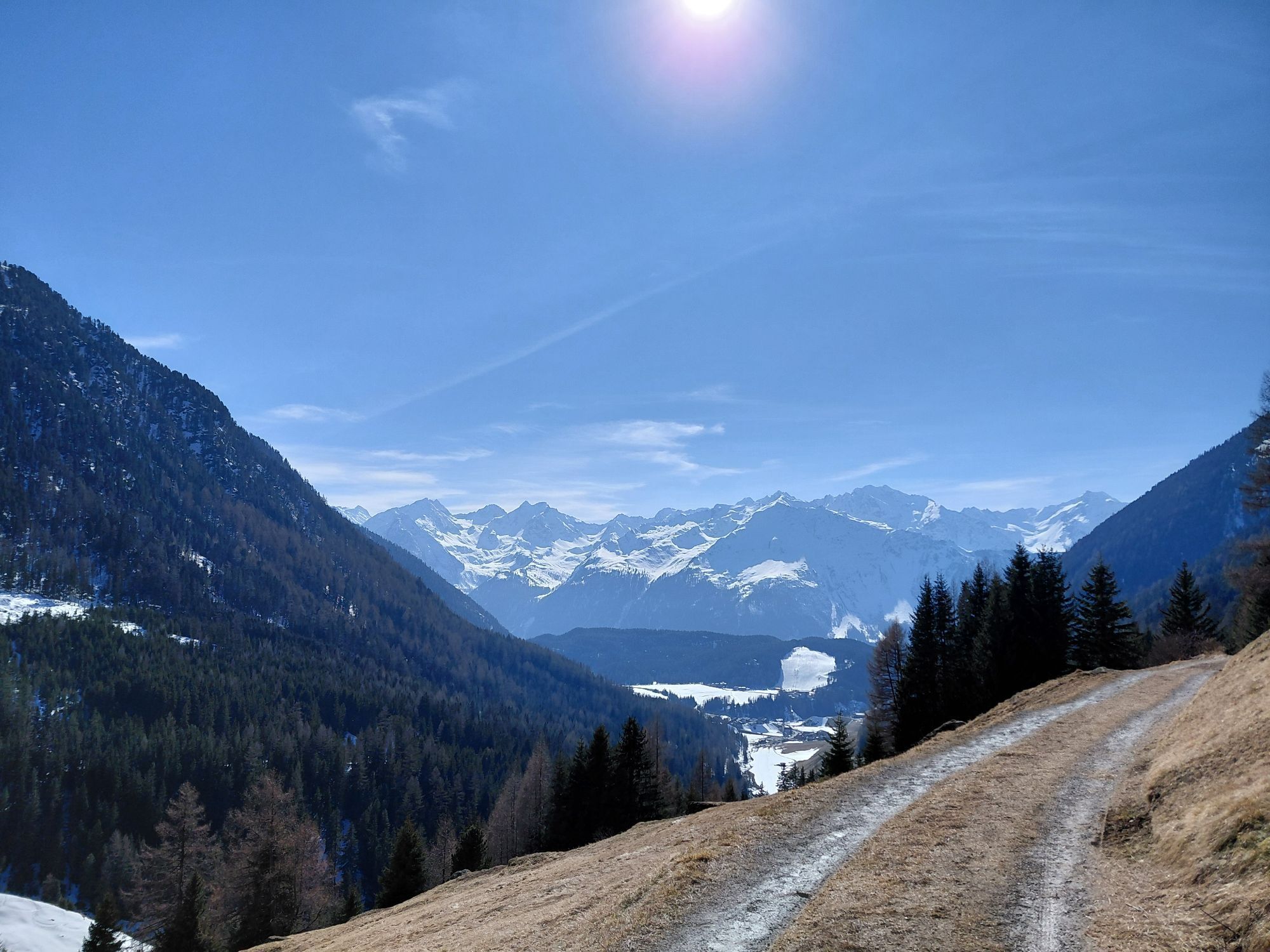
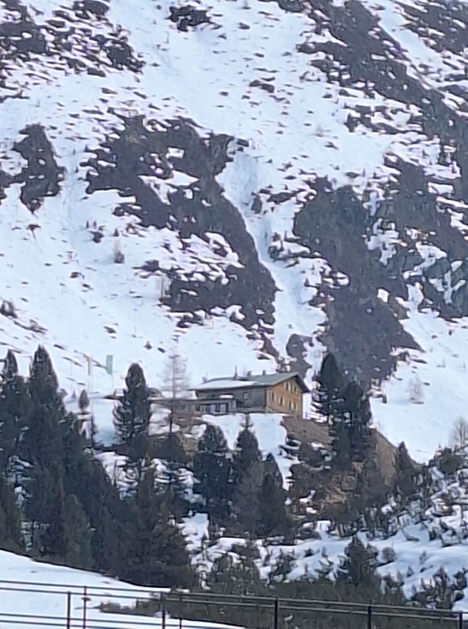
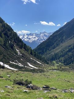
The starting point is at the Sennhof parking lot (next to the Niederthai information center). From there, follow the wide gravel path towards Larstig Alm. Along the Horlachbach, the route climbs more and more towards Schweinfurter Hut. Upon arrival at the hut, you can enjoy a wonderful view from the sun terrace. The return journey is along the same path. From Larstig Alm, follow the signposted Bergmahderweg right back to Niederthai. Passing the fire station, you arrive back at the starting point.

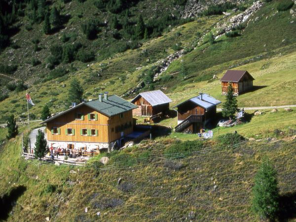
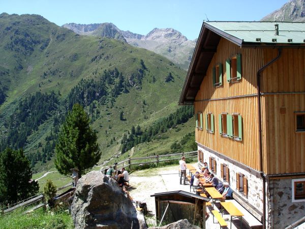
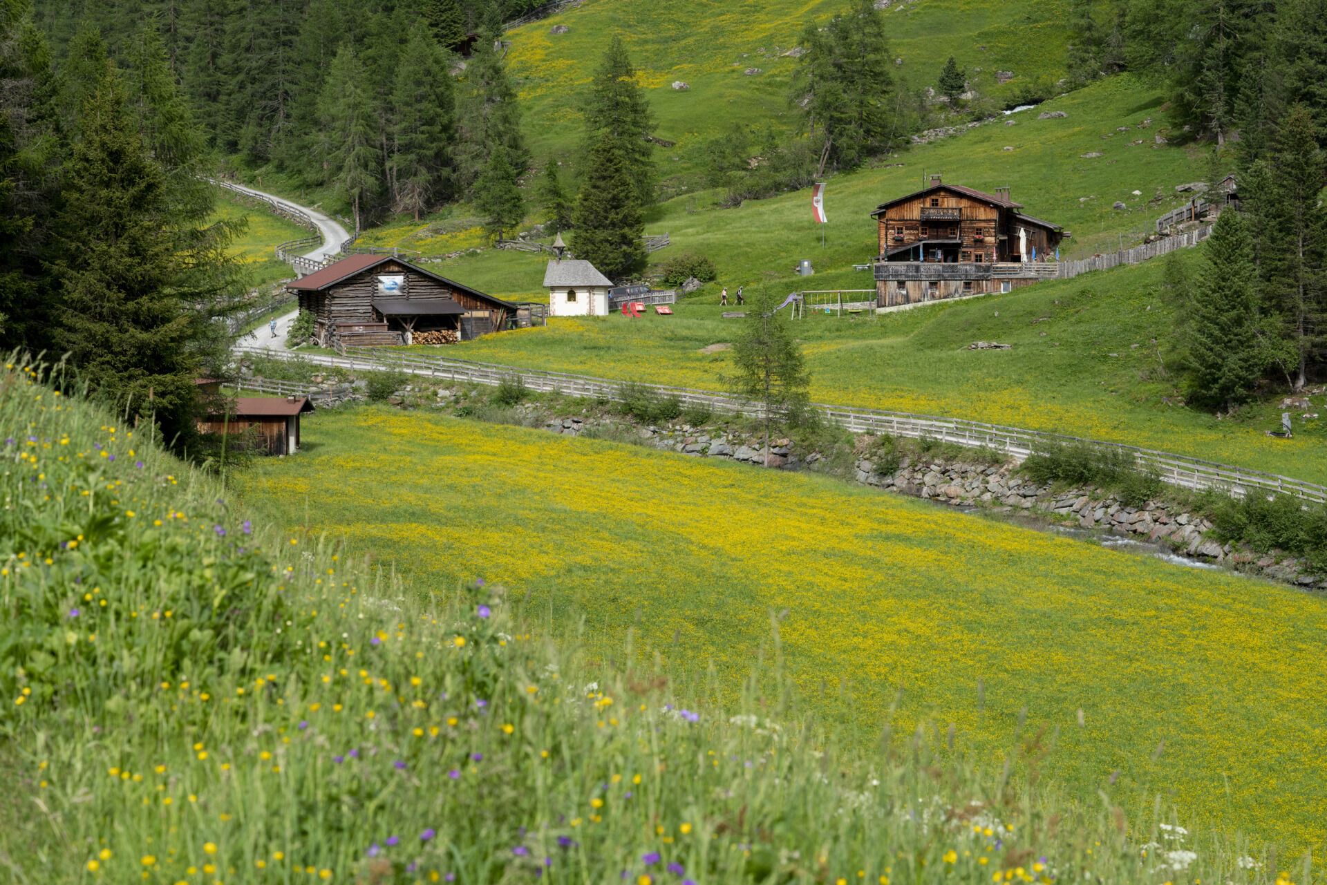
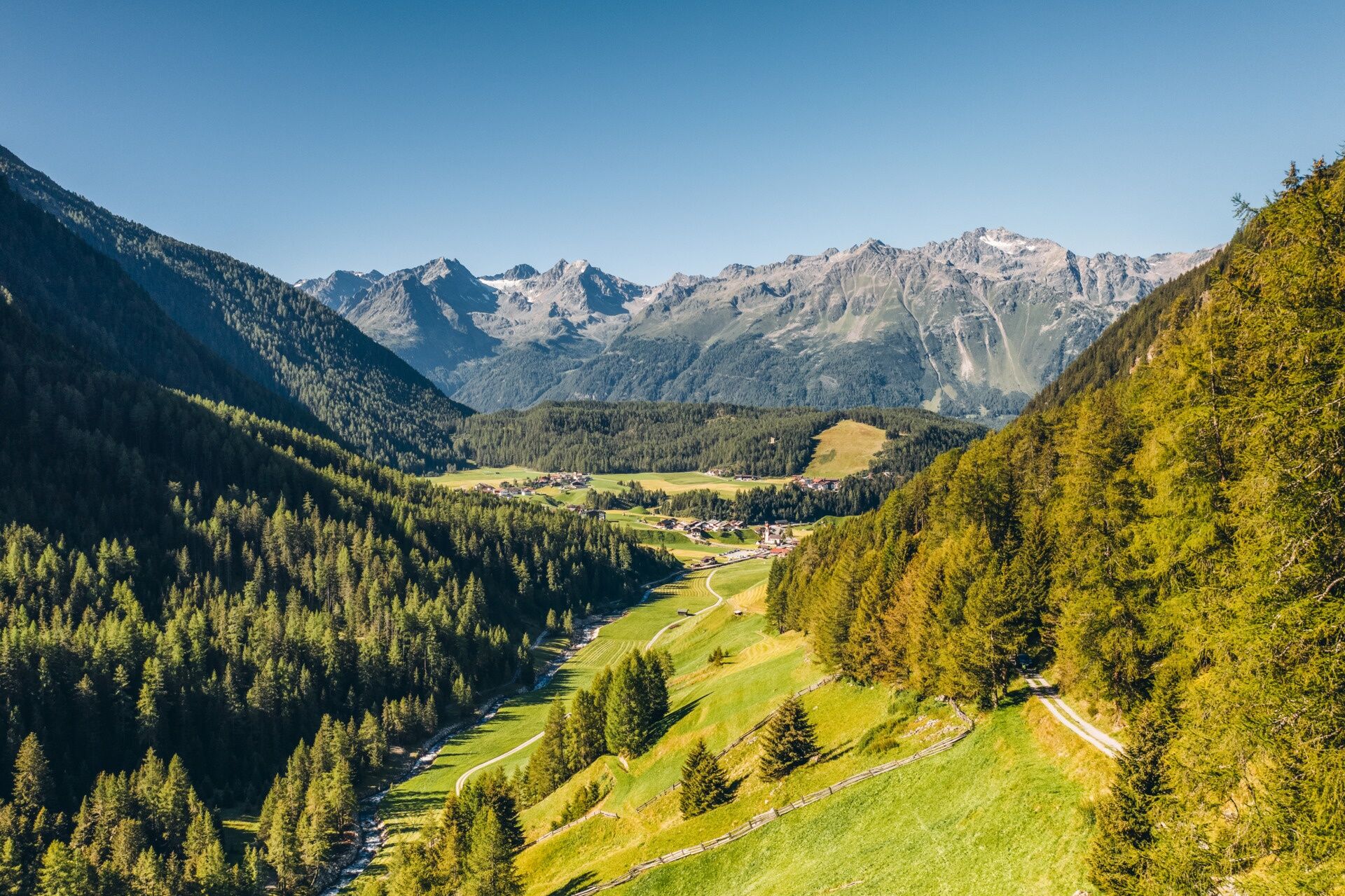
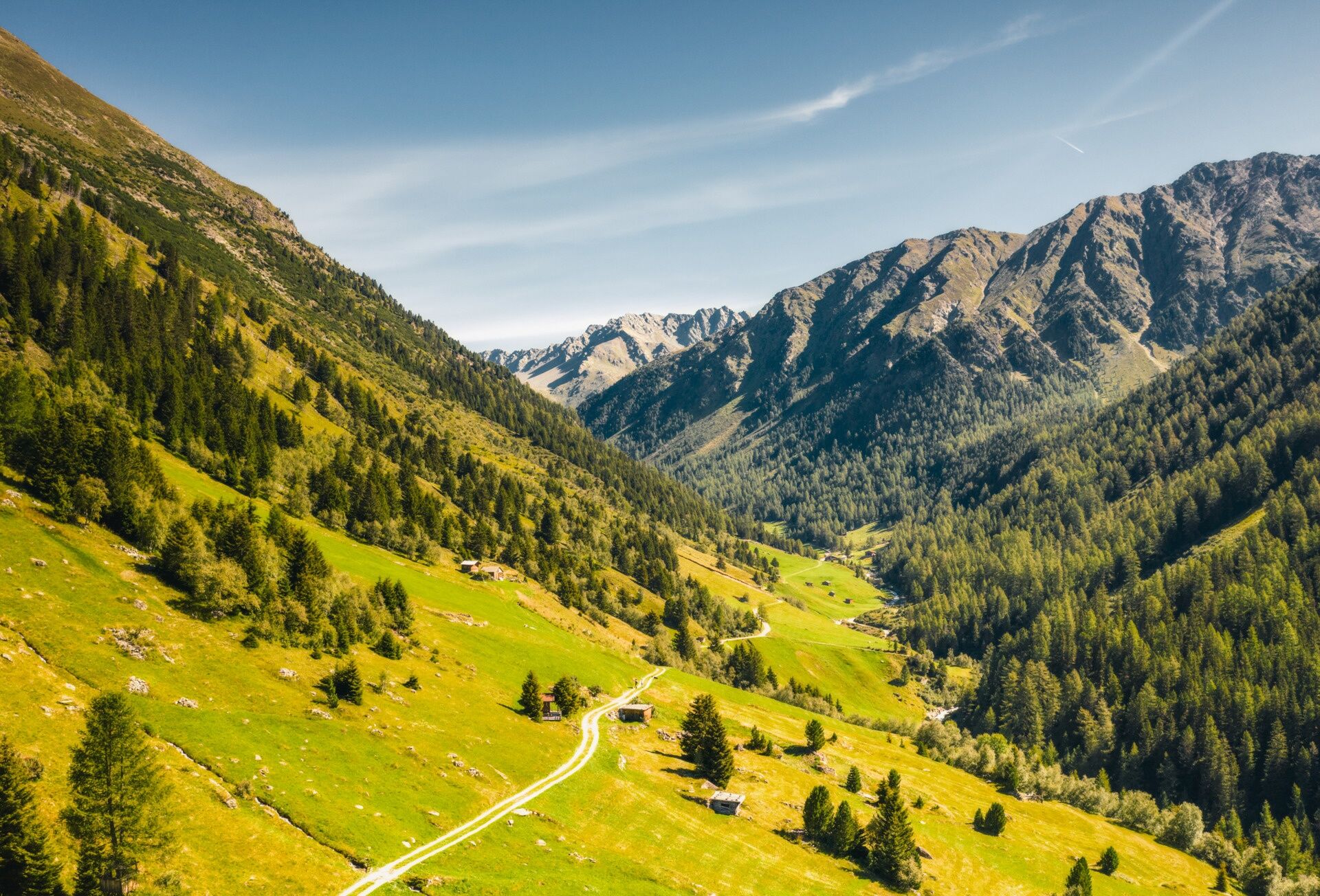

The mountain bike route to Schweinfurter Hütte offers a myriad of highlights. Right at the starting point you pass the 159 m high Stuiben Falls, Tirol's biggest waterfall fed by the rushing Alpine Horlachbach brook coming down from the glacier fields of Zwieselbachferner and Grastalferner. When the snow melts in spring, the small mountain brook transports up to 2000 liters per second! A highlight of a very special kind takes place every Wednesday night when the waterfall is floodlit.
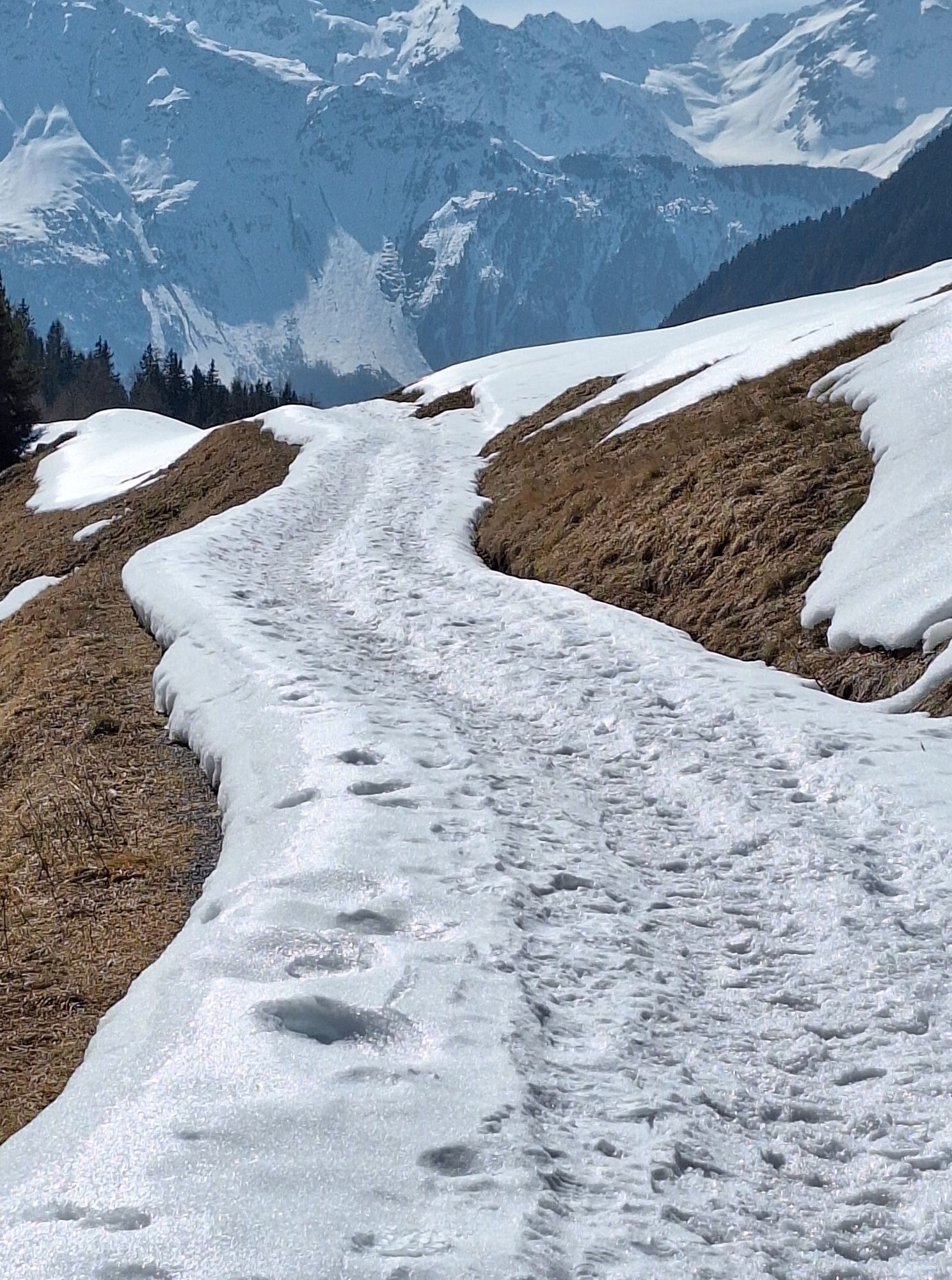
Leaving behind the hamlet of Niederthai, you take the permanently ascending gravel trail to Horchlachtal, a wildly romantic side valley of the central Ötztal. The route is quite strenuous and exhausting. Shortly before you reach the mountain hut you have to conquer another extremely demanding ramp covering some 2 kilometers.
Ambitious bikers continue further on to Isseboden area. The secluded valley is a true feast for the eyes! As a final highlight you bike down the outstanding Umhausen High Altitude Trail.
Áno
Appropriate equipment such as breathable clothing and weather-appropriate outdoor clothing, bicycle helmet, gloves, sunglasses, and a GPS device or maps. For bike routes without places to rest or eat, sufficient provisions are necessary.
Sporty bike control and defensive riding behavior are required due to the partly steep ascents and more difficult downhill sections, and the demands on fitness and riding technique are classified as medium. The focus is on sporty, active (pleasure) cycling.
Car drive to ÖTZTAL. Located in Tyrol, the ÖTZTAL branches southward as the longest side valley of the Eastern Alps. Traveling by car takes visitors through the Inn valley to the entrance of the valley and then along the Ötztal. In addition to the toll motorway, country roads can also be used. Your journey can be quickly and conveniently planned with the route planner.
To the route planner: https://www.google.at/maps.
Travel comfortably and safely by train to the Ötztal train station. The final stop or exit point is the ÖTZTAL station. Then you can conveniently and quickly travel through the entire valley to your desired destination using public transport or local taxi companies! The current bus schedule is available at: fahrplan.vvt.at
The following parking options are available in Niederthai:
Sennhof parking lot, chargeable € 5,- per dayMore information about biking & cycling in the Ötztal: https://www.oetztal.com/biken
This route follows developed paths and can easily be ridden with a motorized e-mountain bike or a classic mountain bike without a motor.

Webové kamery z prehliadky
-
Niederthai im Ötztal
-
Niederthai - Alpin Appart
-
Umhausen - Vivea Gesundheitshotel
-
Umhausen - der Veitenhof
-
Stuibenfall
-
Umhausen / Hotel Tauferberg
-
Umhausen / Hotel Tauferberg
-
Umhausen / Hotel Tauferberg
-
Umhausen / Hotel Tauferberg
-
Umhausen / Hotel Tauferberg
-
Niederthai - Delano
-
Niederthai - Delano
-
Umhausen / Hotel Tauferberg
Získajte prehľad
Vždy naživo na mieste s viac ako 9 500 webovými kamerami. bergfex Ako používateľ Pro si teraz môžete pozrieť príslušné webové kamery pre mnohé zájazdy v aplikácii zájazdy z. Môžete si tak priamo prezerať aktuálne podmienky.
Aktivity počas prehliadky


Obľúbené výlety v okolí
-
4,6
Winnebachsee Hut – Längenfeld/Gries
strednáTuristika 4,74 km -
4,7
Winter circular route Brandalm/Burgstein - Längenfeld 204
strednáZimná turistika 5,44 km -
4,3
Hike Stuibenfall - Umhausen
svetloTuristika 2,95 km -
4,4
Hundstalsee
strednáTuristika 7,35 km -
4,3
Stuibenfall Umhausen circular hike
svetloTuristika 9,32 km -
4,5
Oetz - Piburger See - Oetz
strednáTuristika 7,16 km -
4,4
Rundwanderung Hängebrück3
svetloTuristika 6,32 km -
4,3
Lampsenspitze, Sellrain, Tirol
strednáSkitour 4,97 km -
4,3
Amberger Hut - Längenfeld/Gries
strednáTuristika 5,60 km -
4,7
Summit route Faltegartenköpfl
strednáTuristika 4,04 km
Turistika a stopovanie


Nenechajte si ujsť ponuky a inšpiráciu na ďalšiu dovolenku
Vaša e-mailová adresa bol pridaný do poštového zoznamu.





