


Bike route Lech Valley
Úroveň náročnosti: 2
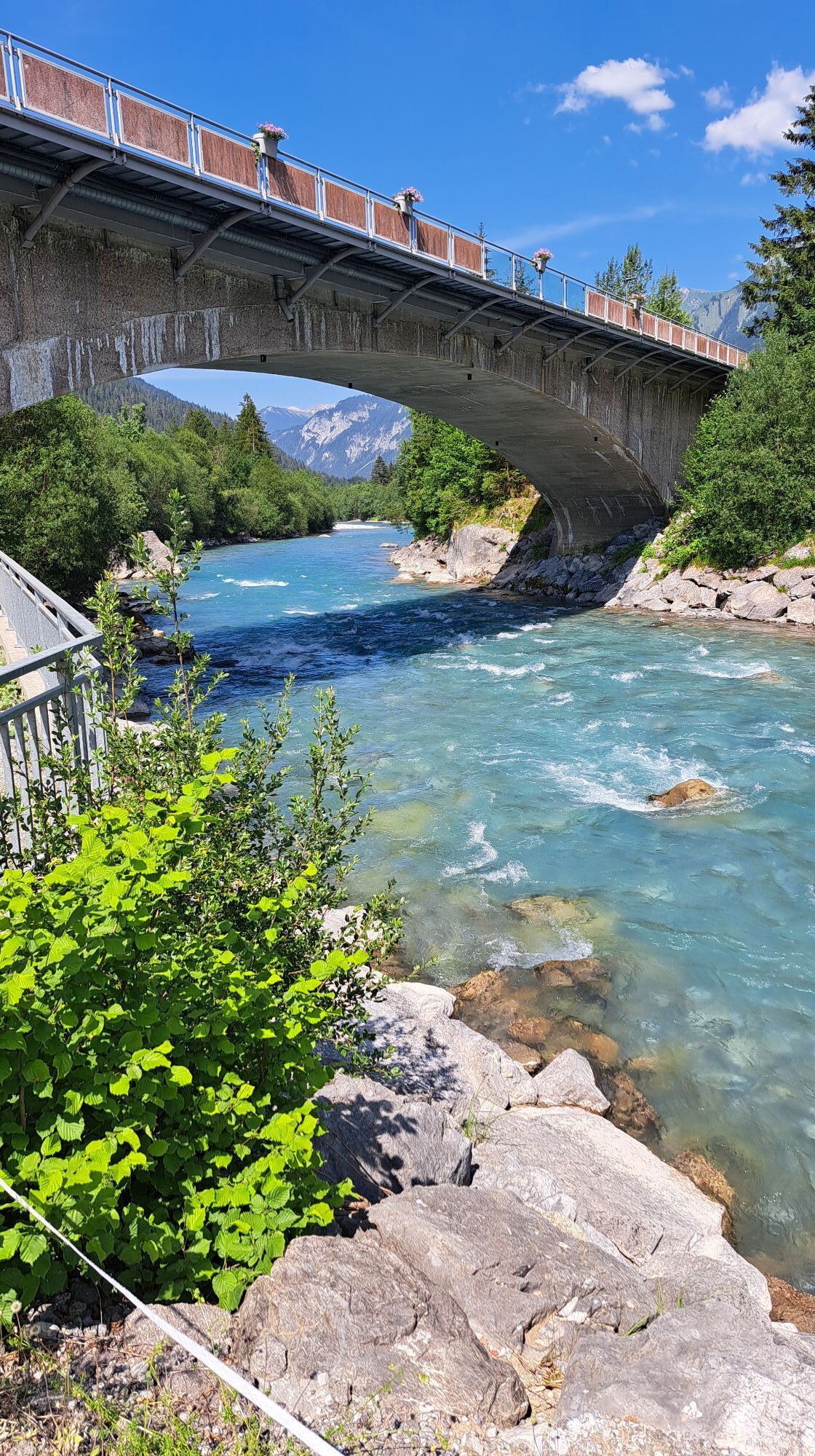
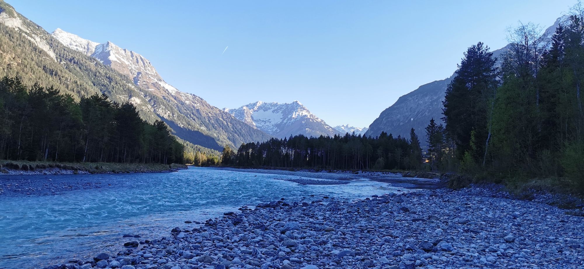
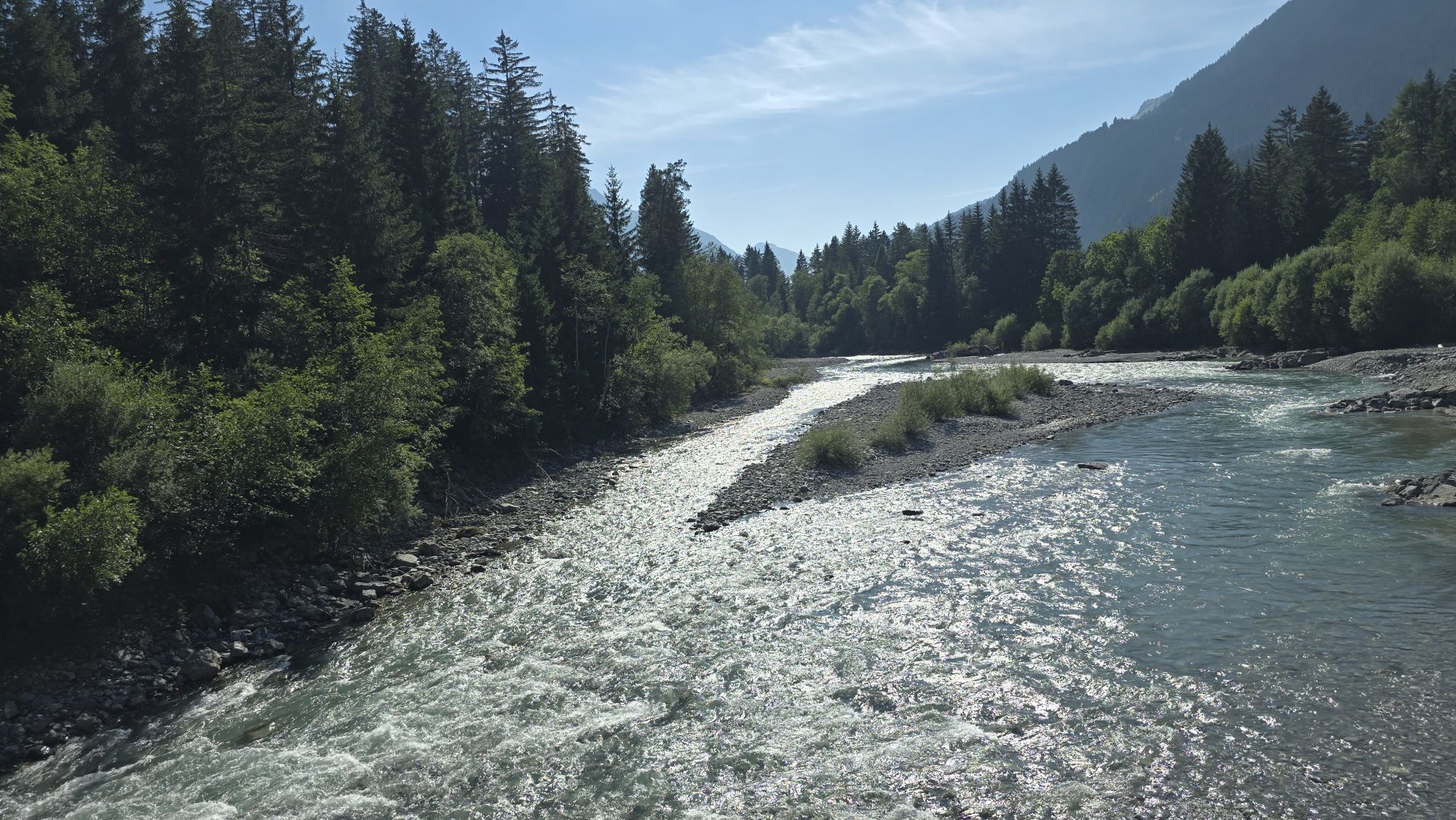


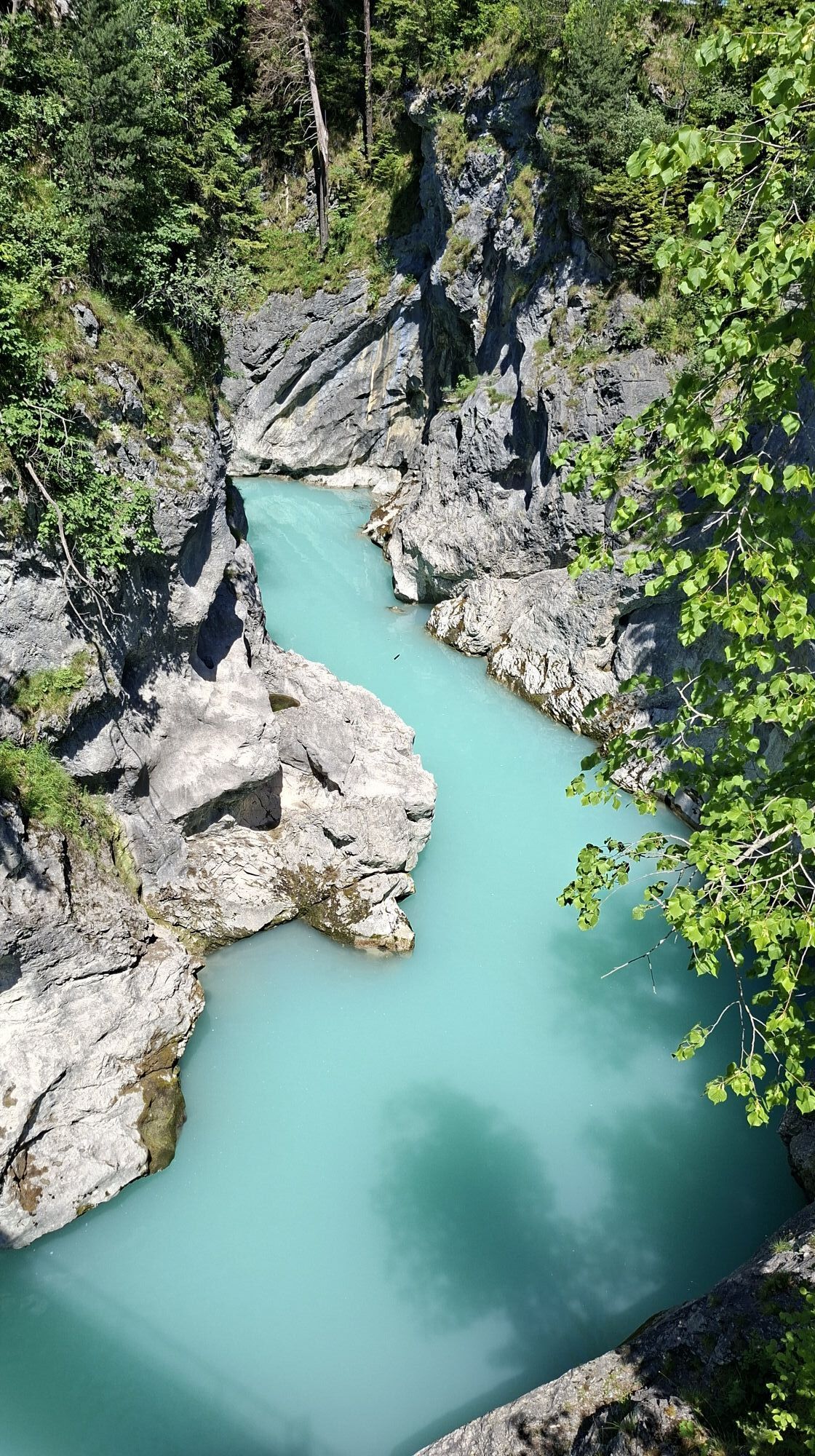

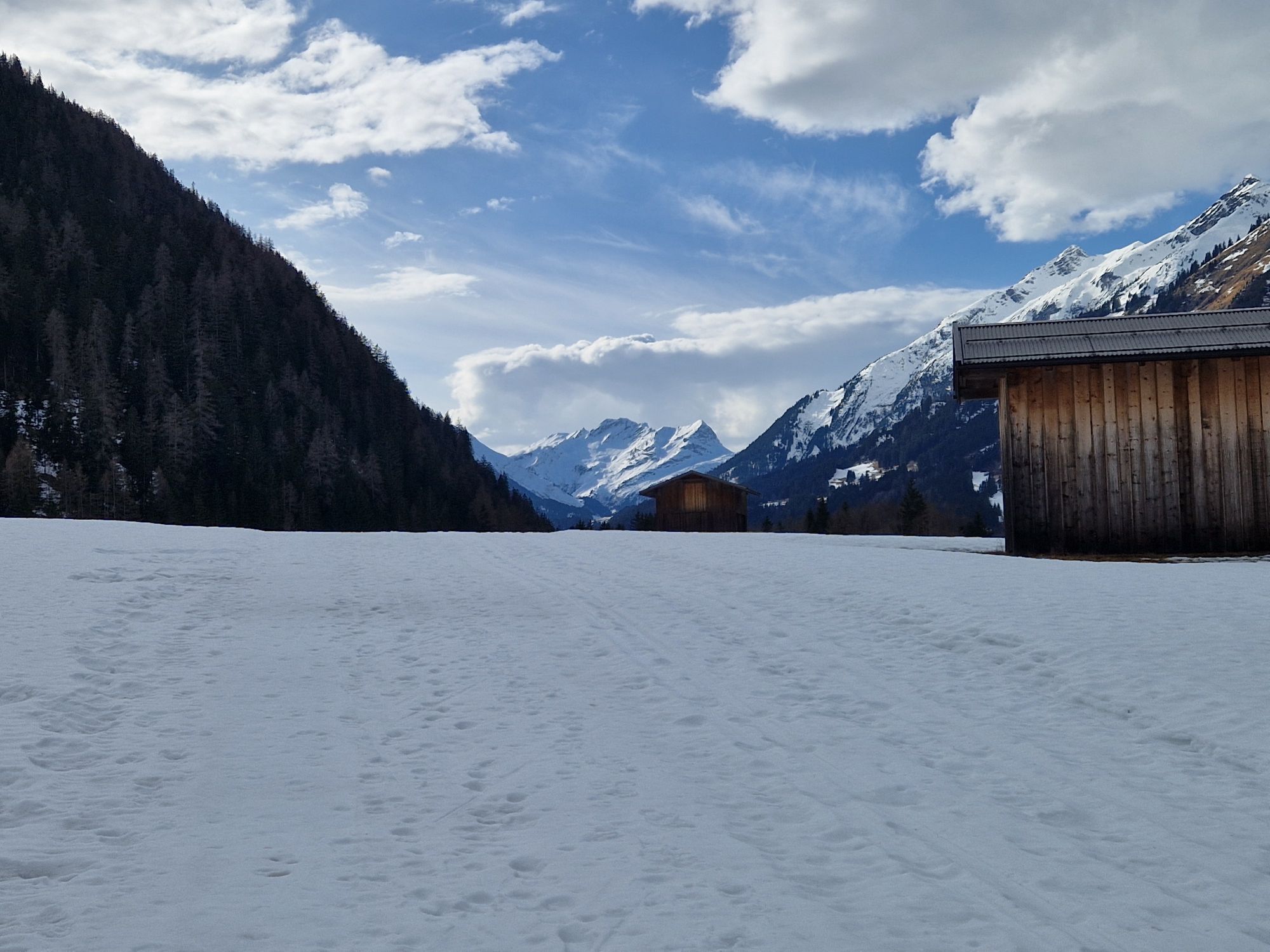


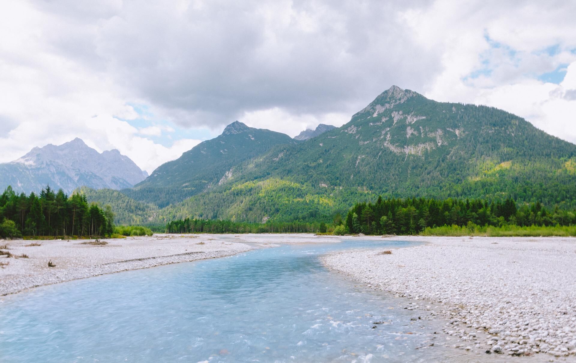
Follow the well-signposted bike paths along the turquoise shimmering wild river landscape of the Lech from Steeg (Austria) to Schwangau. The bike route promises many great opportunities to stop at traditional...
Follow the well-signposted bike paths along the turquoise shimmering wild river landscape of the Lech from Steeg (Austria) to Schwangau. The bike route promises many great opportunities to stop at traditional inns, embedded in the mountain world of the unique landscape of the Allgäu and Lechtal Alps.

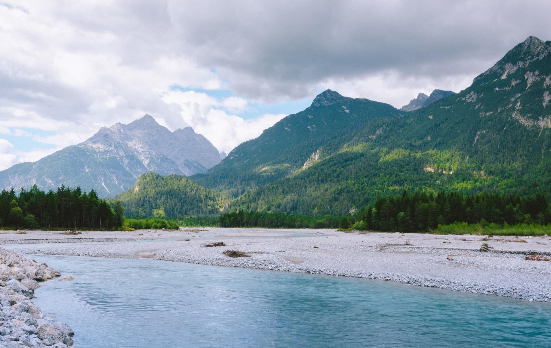
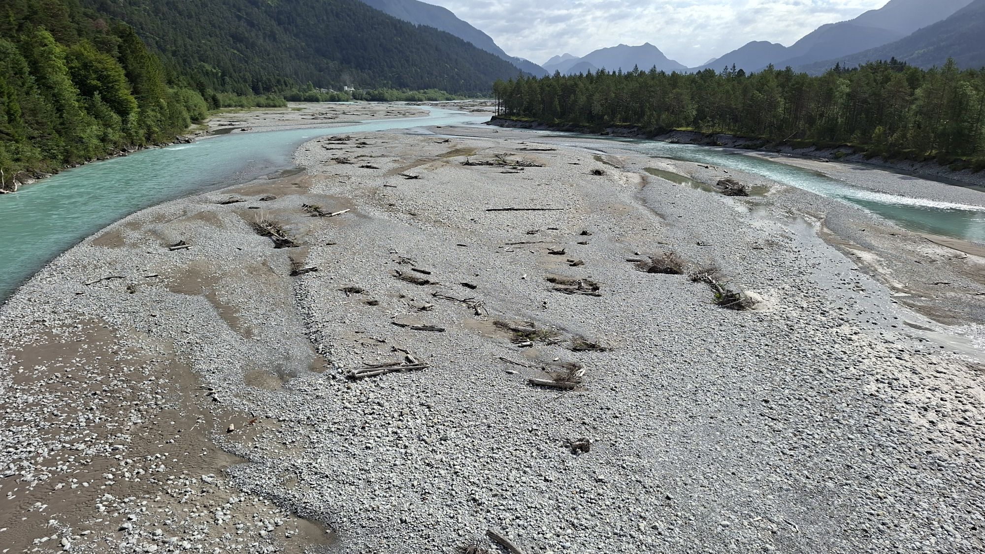
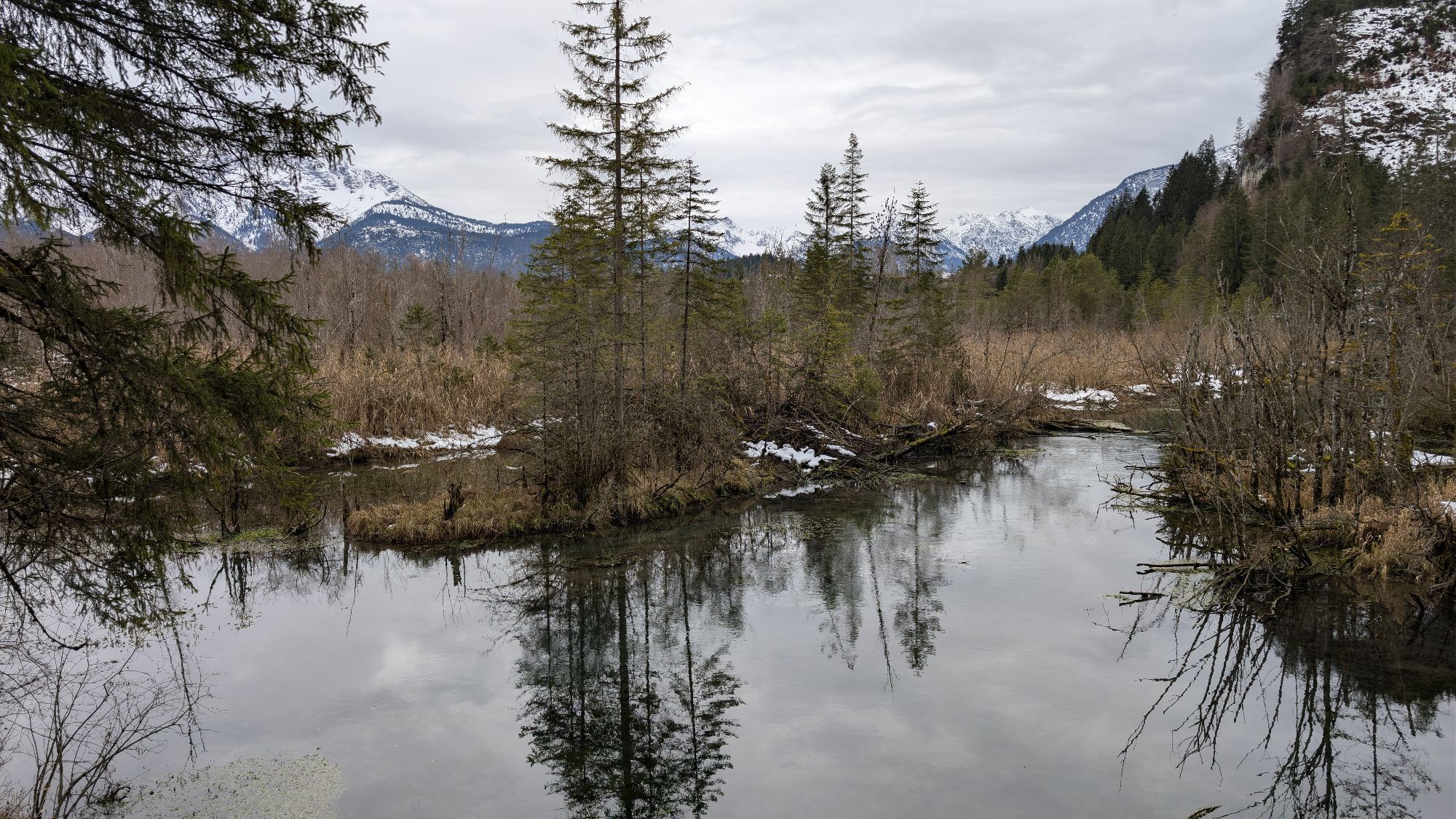
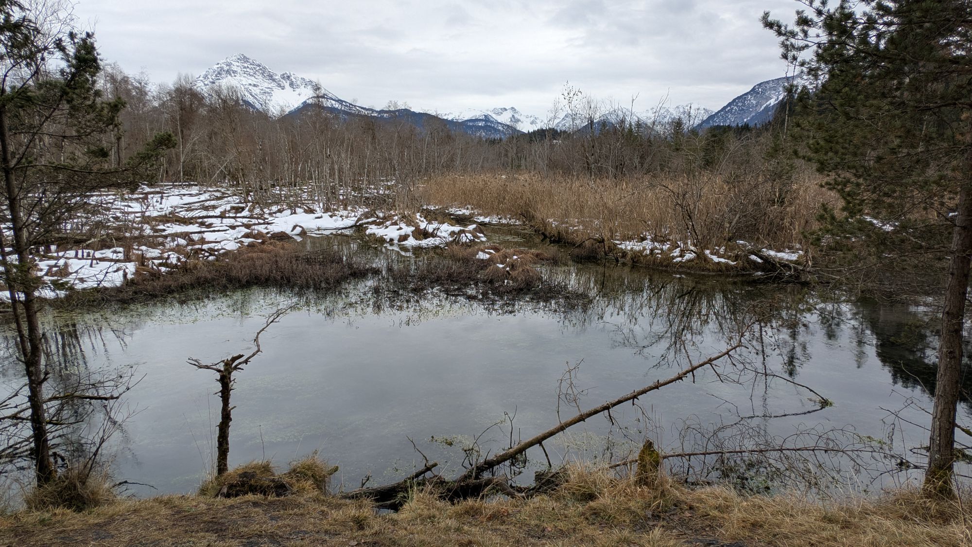
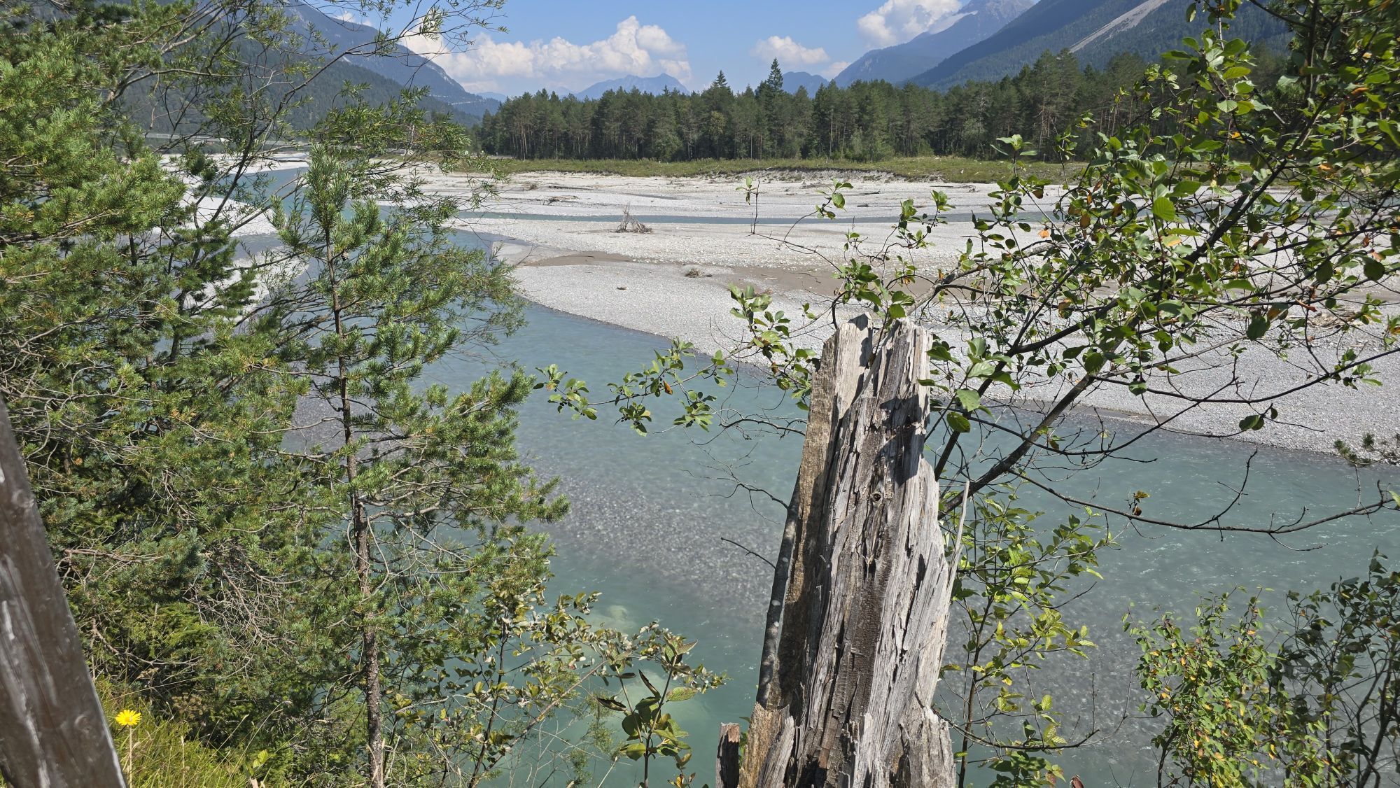
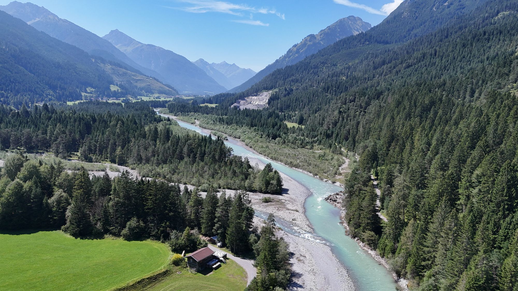
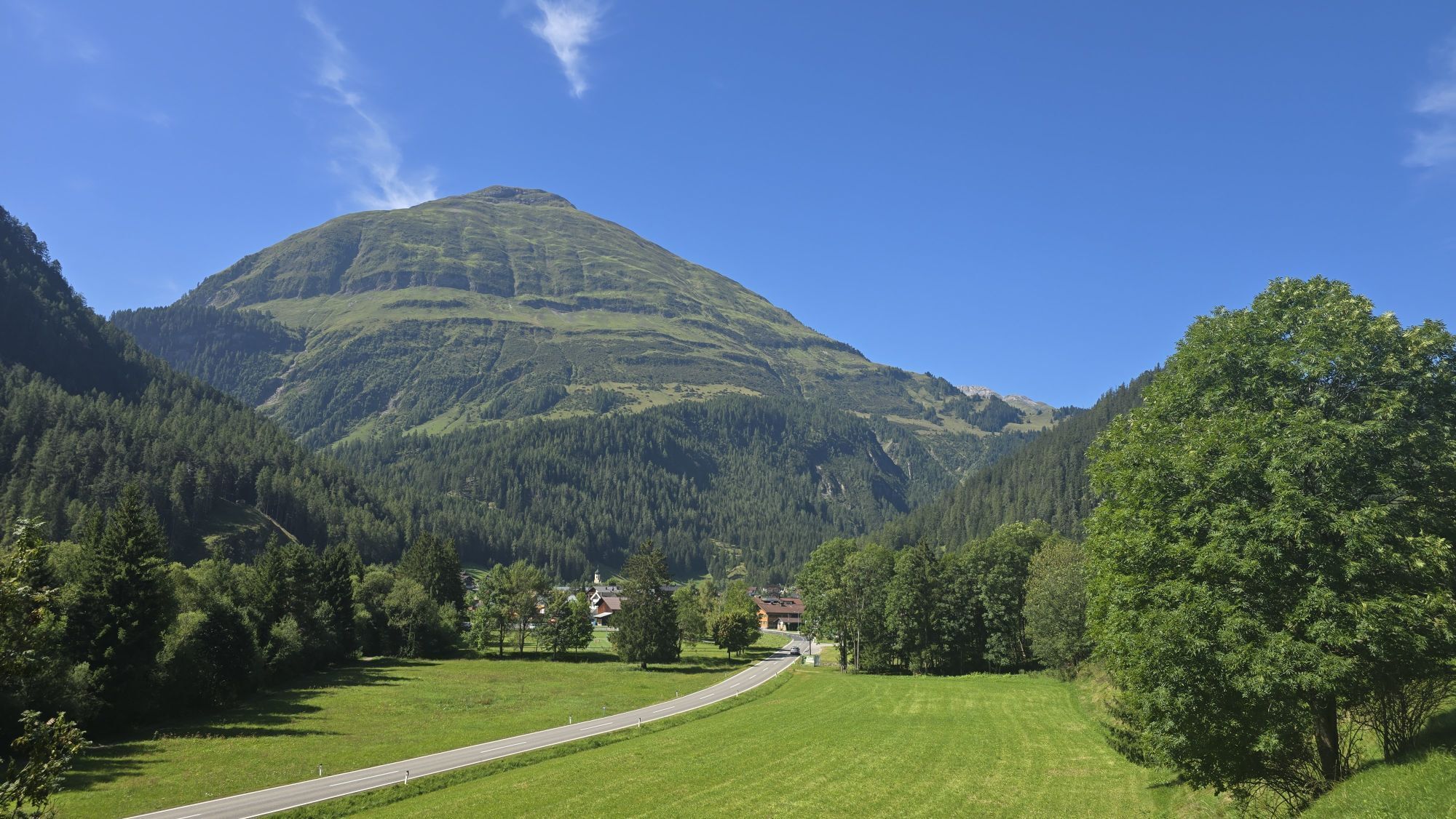
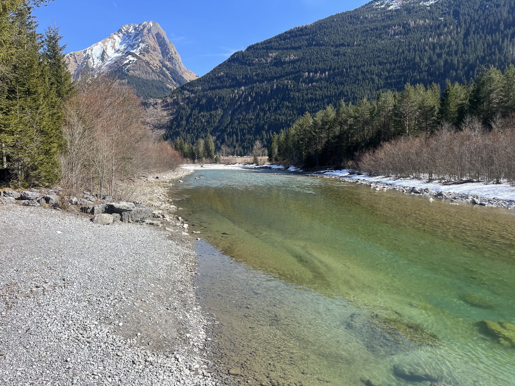
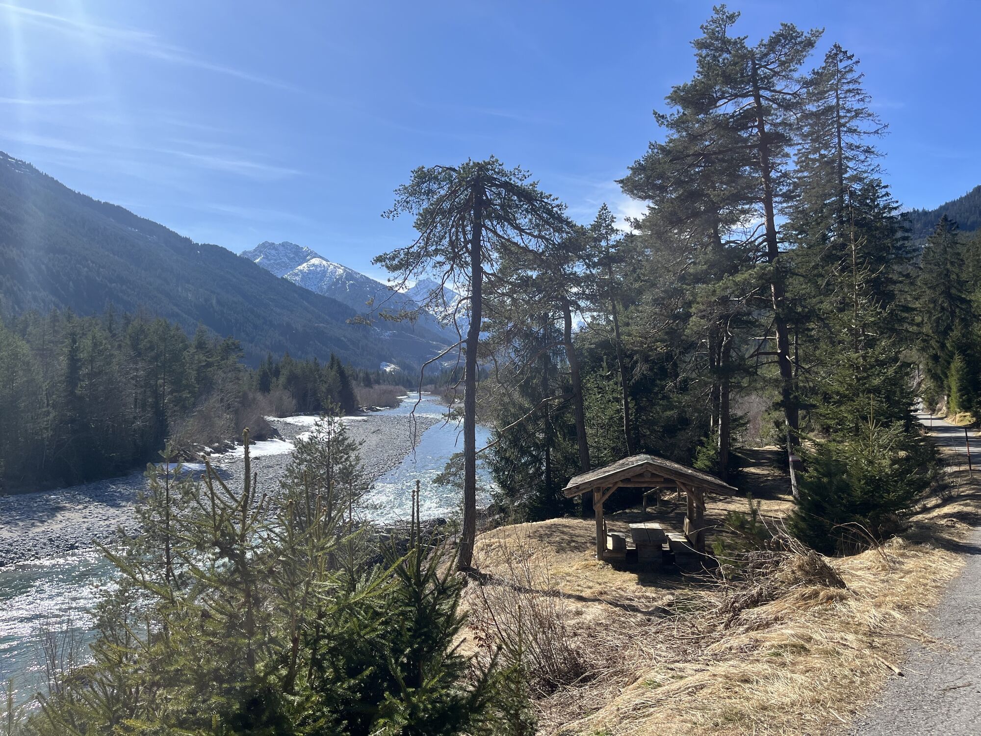
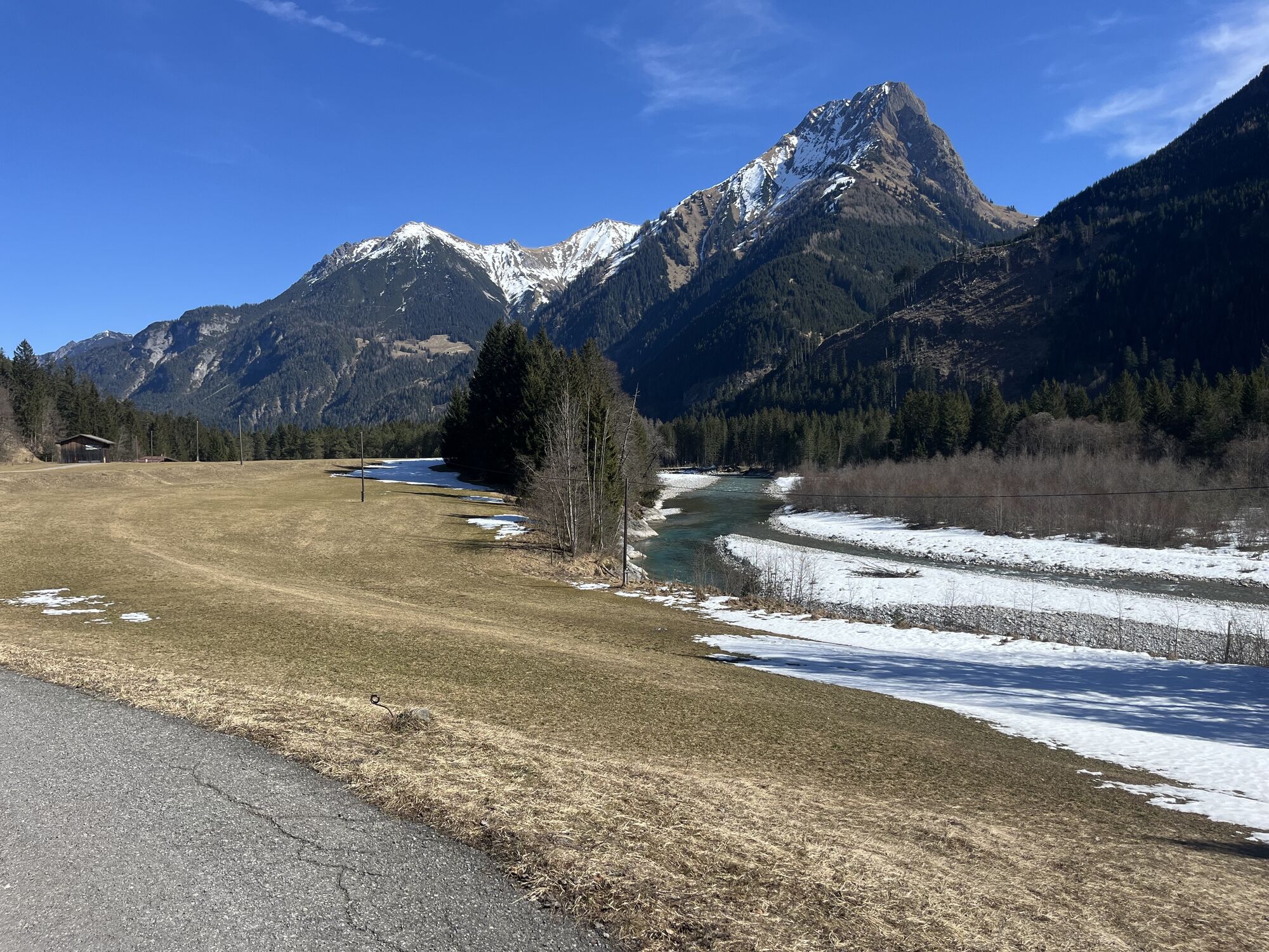
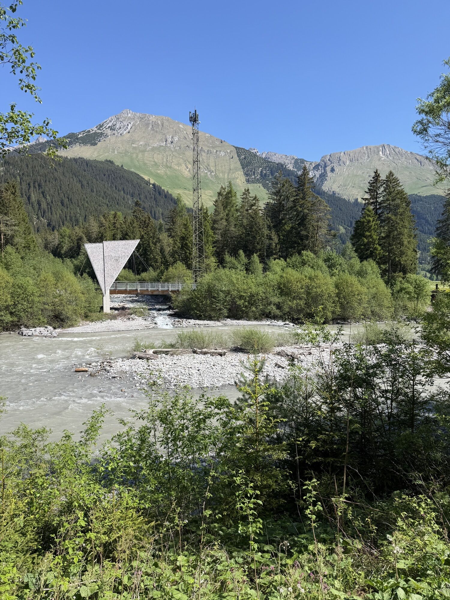
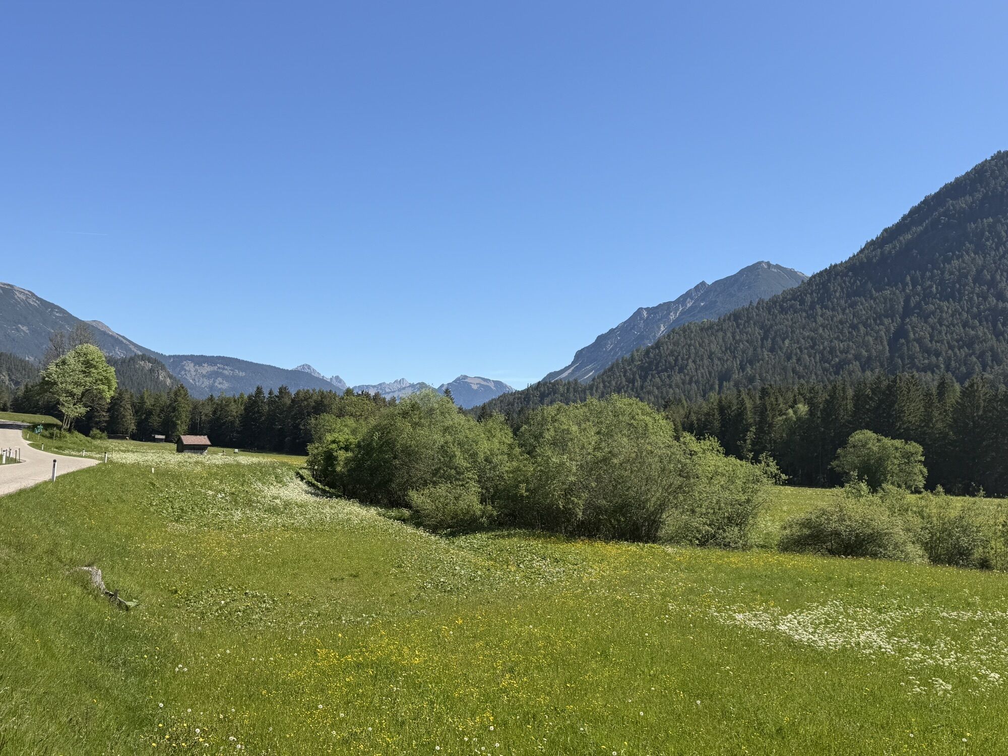
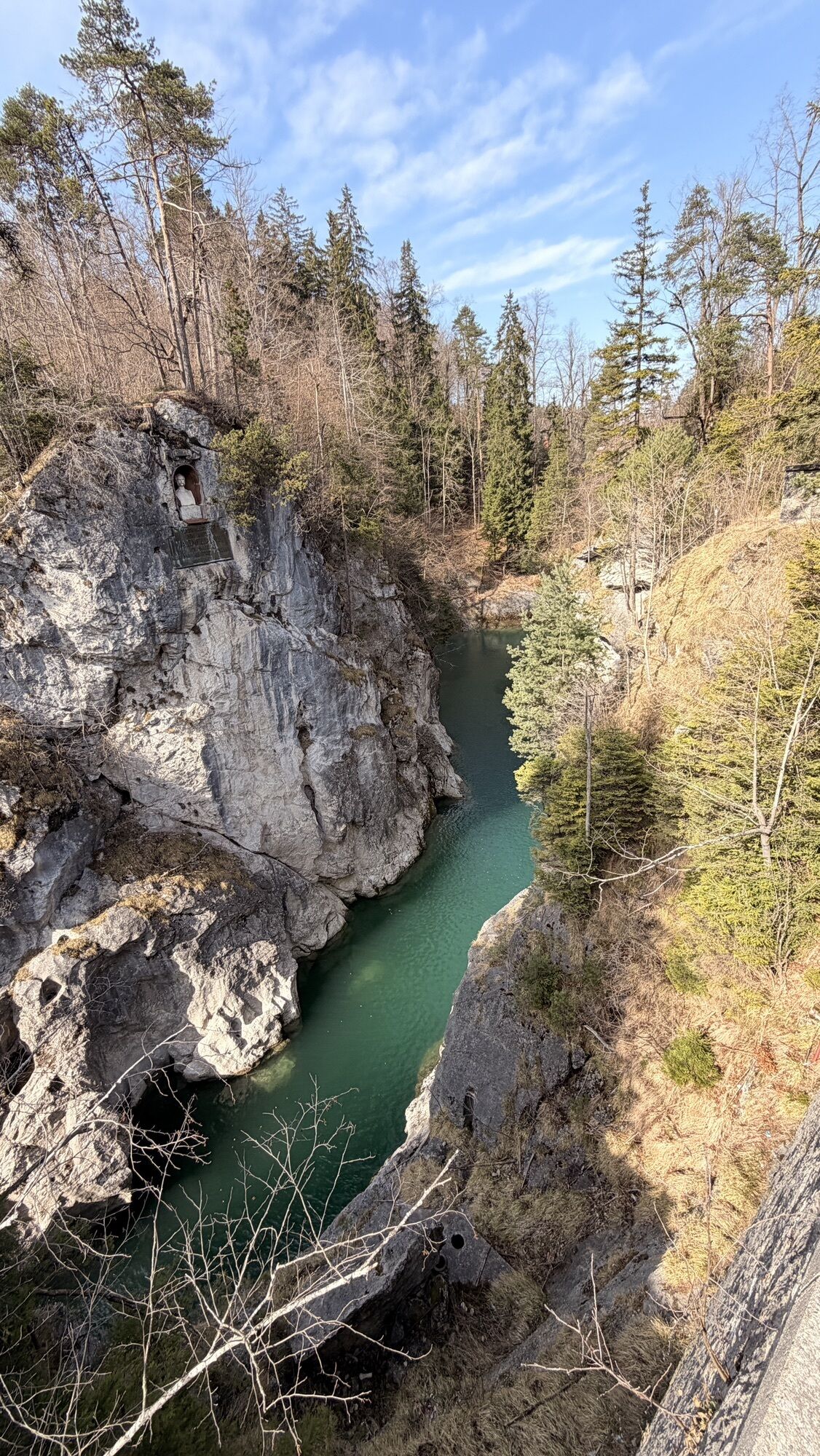
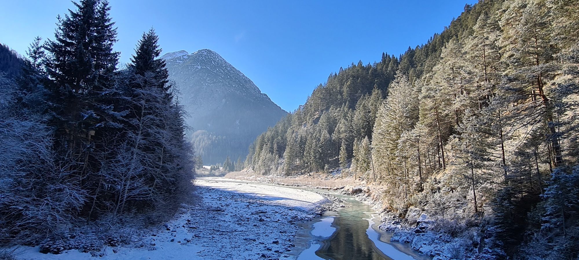
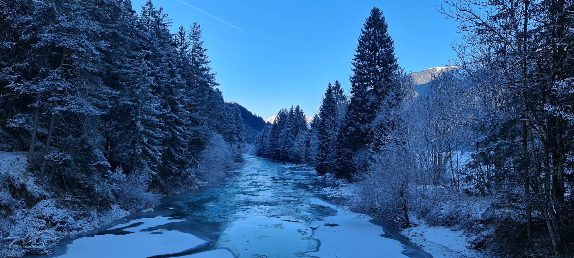
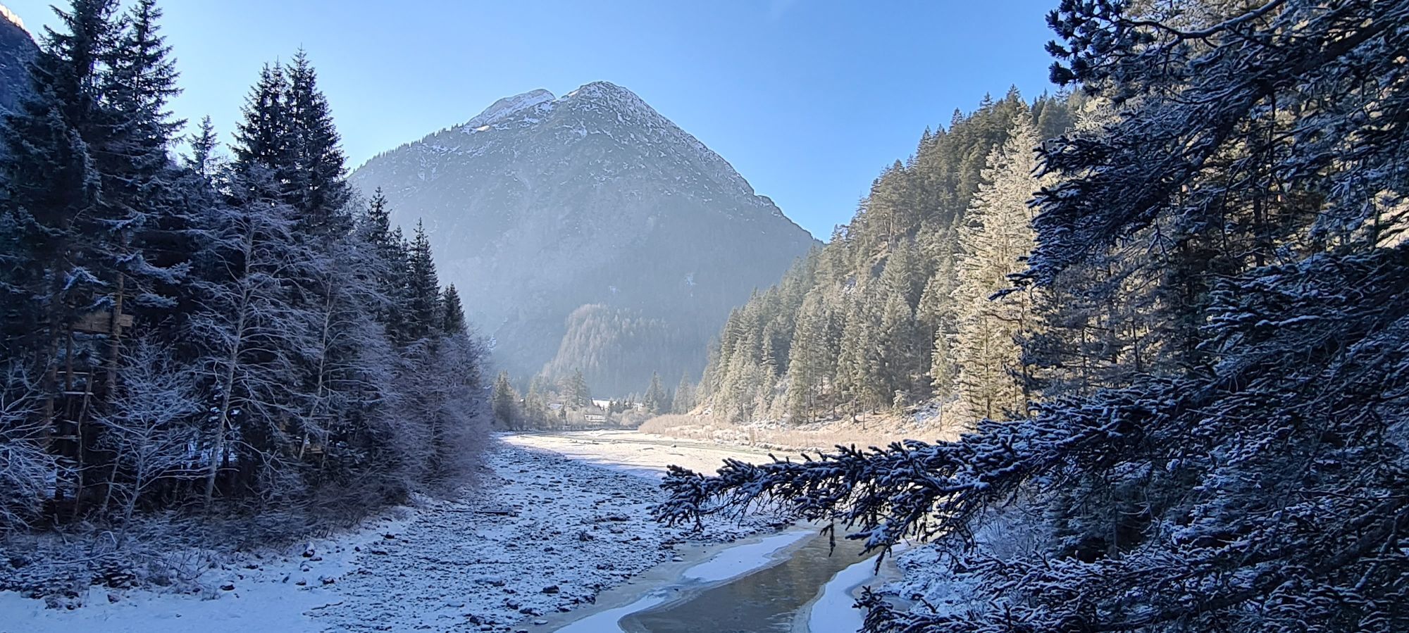
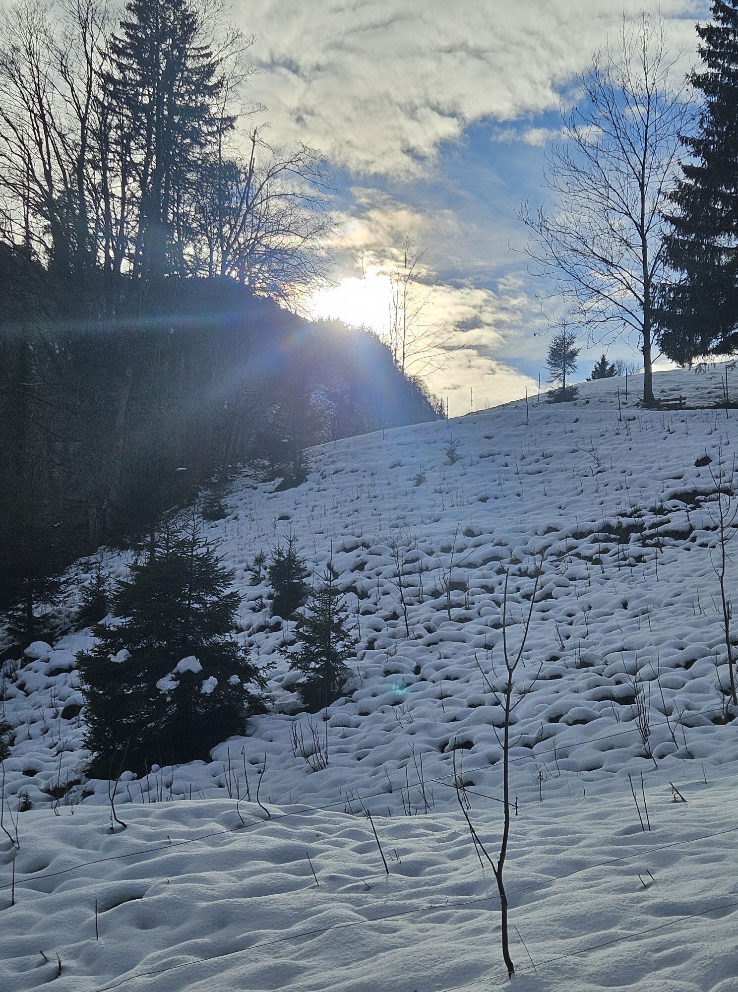
Your bike route starts in Steeg after you have arrived there by bus and bike. From here, a delightful ride begins through the impressive mountain and river landscape of the Lech. You always follow the bike path signs along the river and pass through the nature reserve “Tyrolean Lech.” The route leads you past Holzgau, through Stockach, Bach, and Griessau to Häselgehr. A detour to the picturesque Elbigenalp is worthwhile along the way.
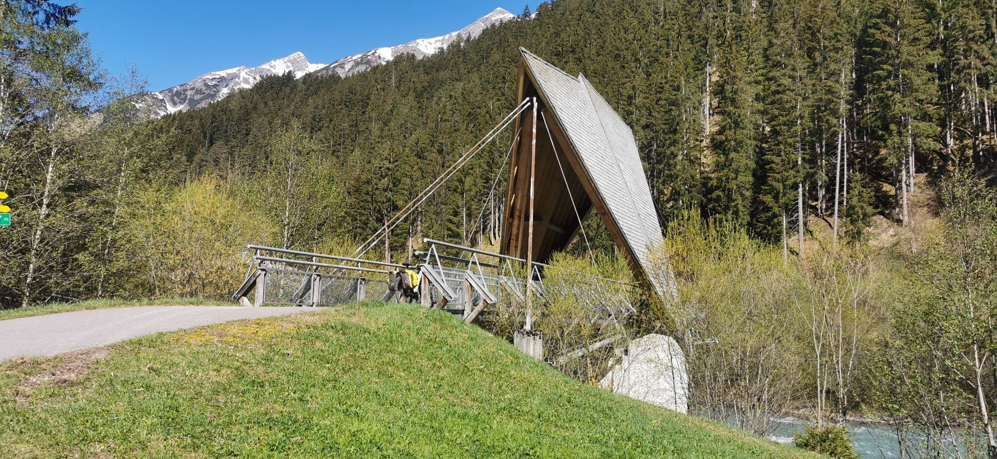
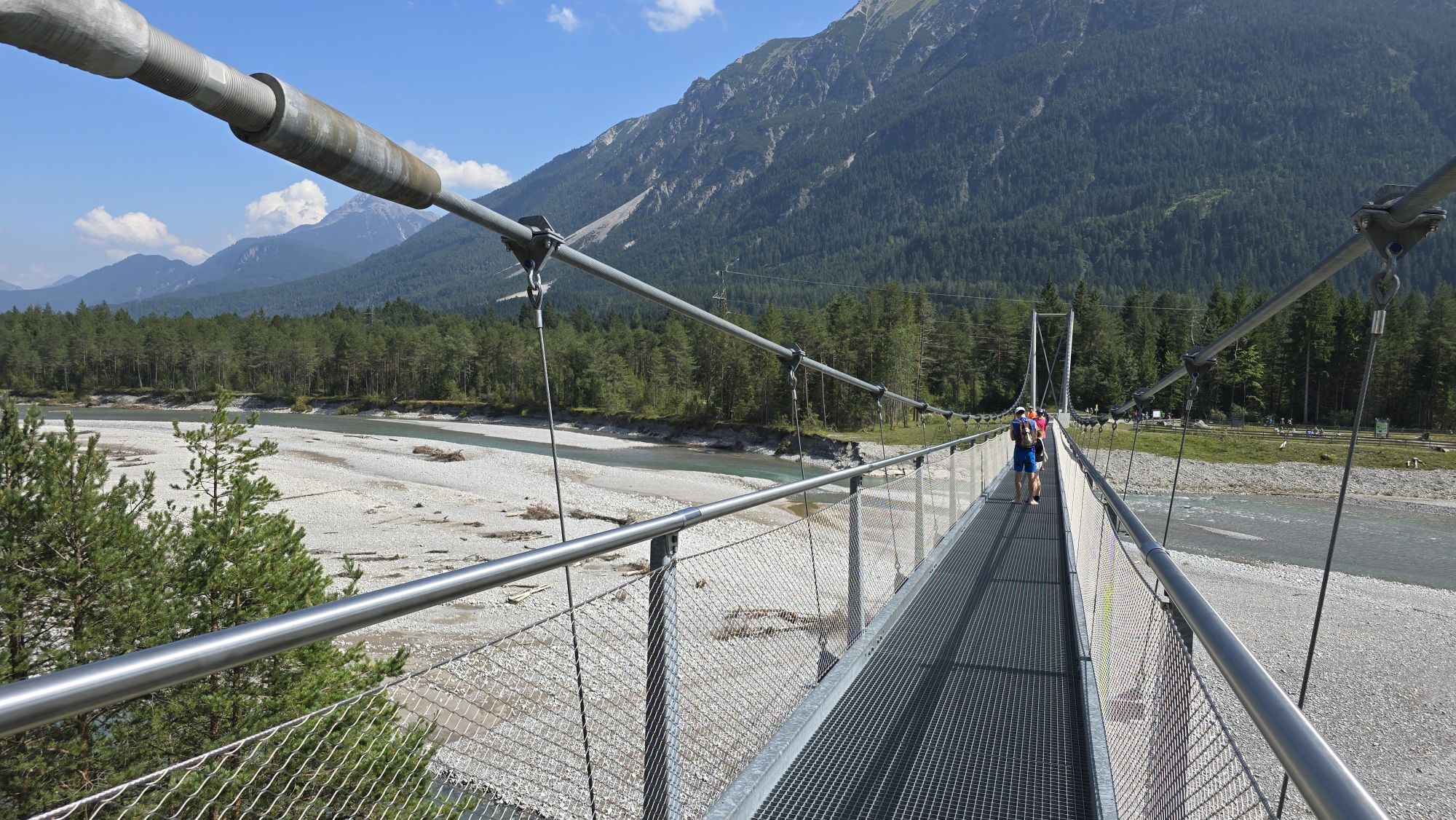
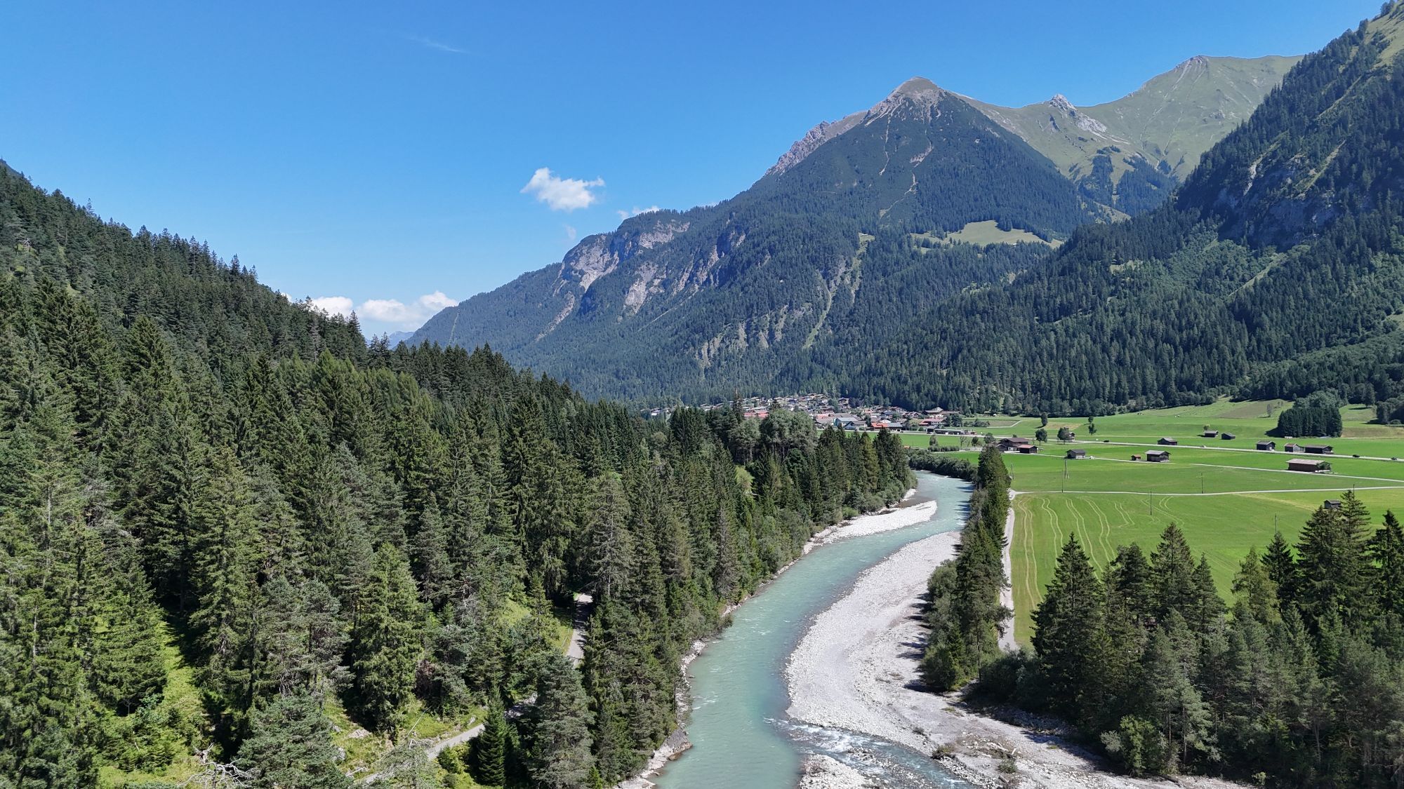
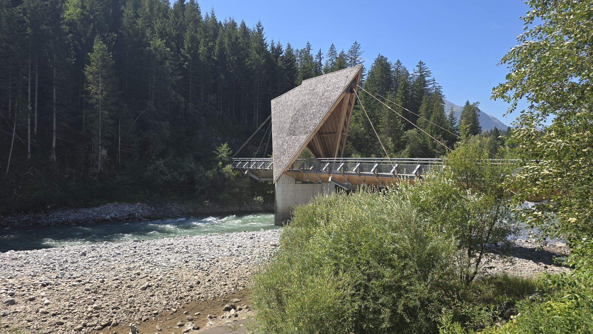
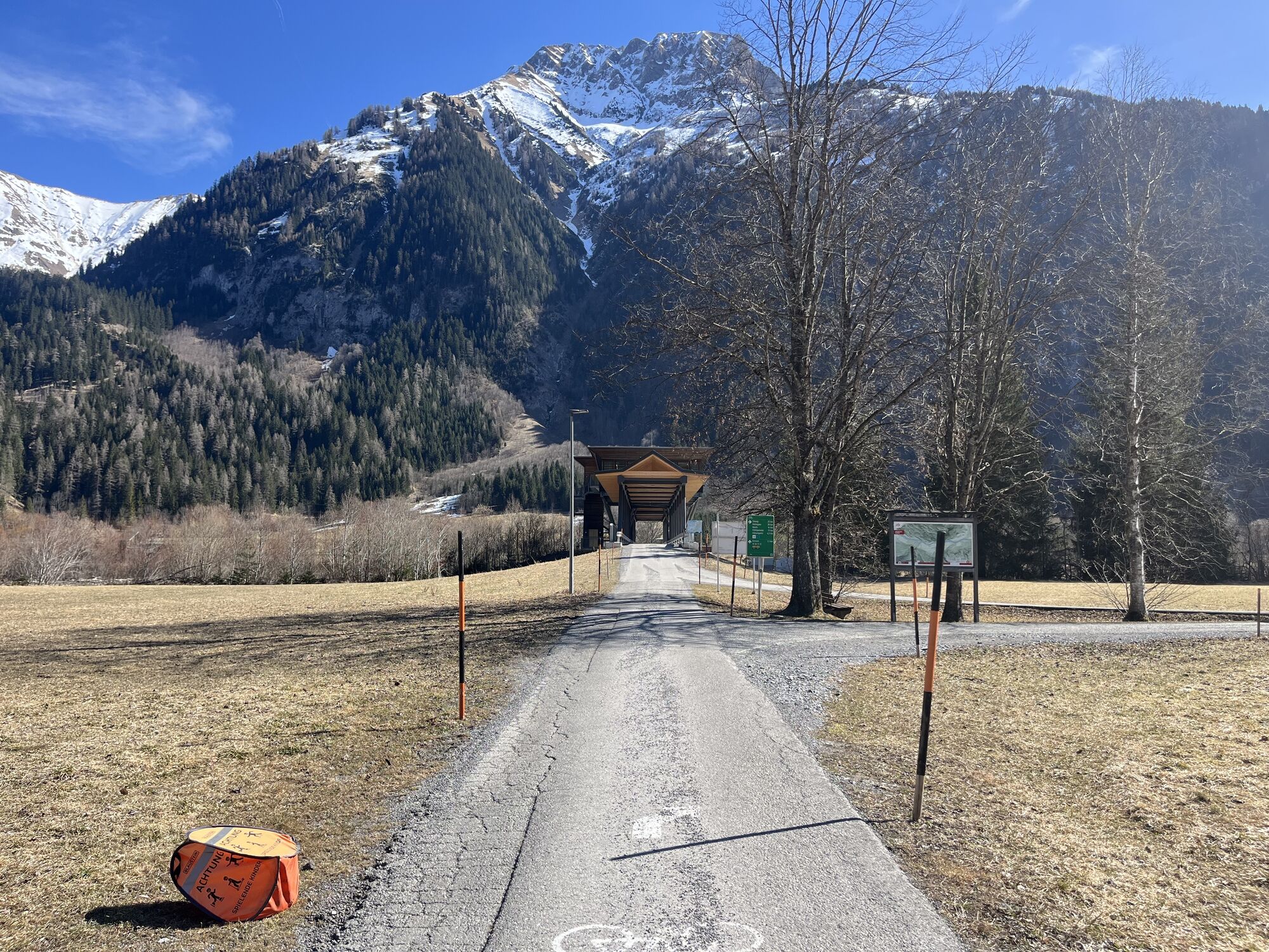
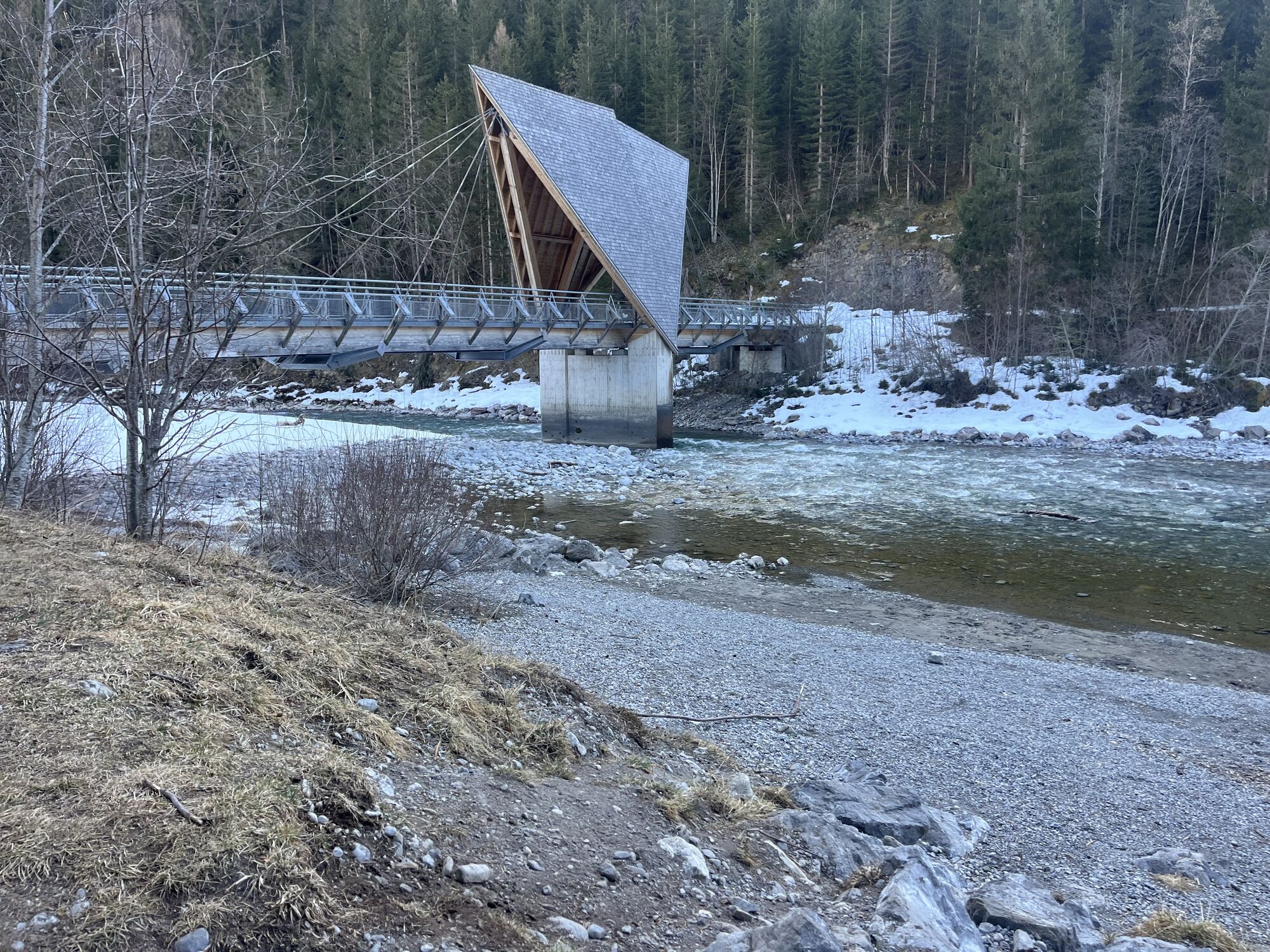
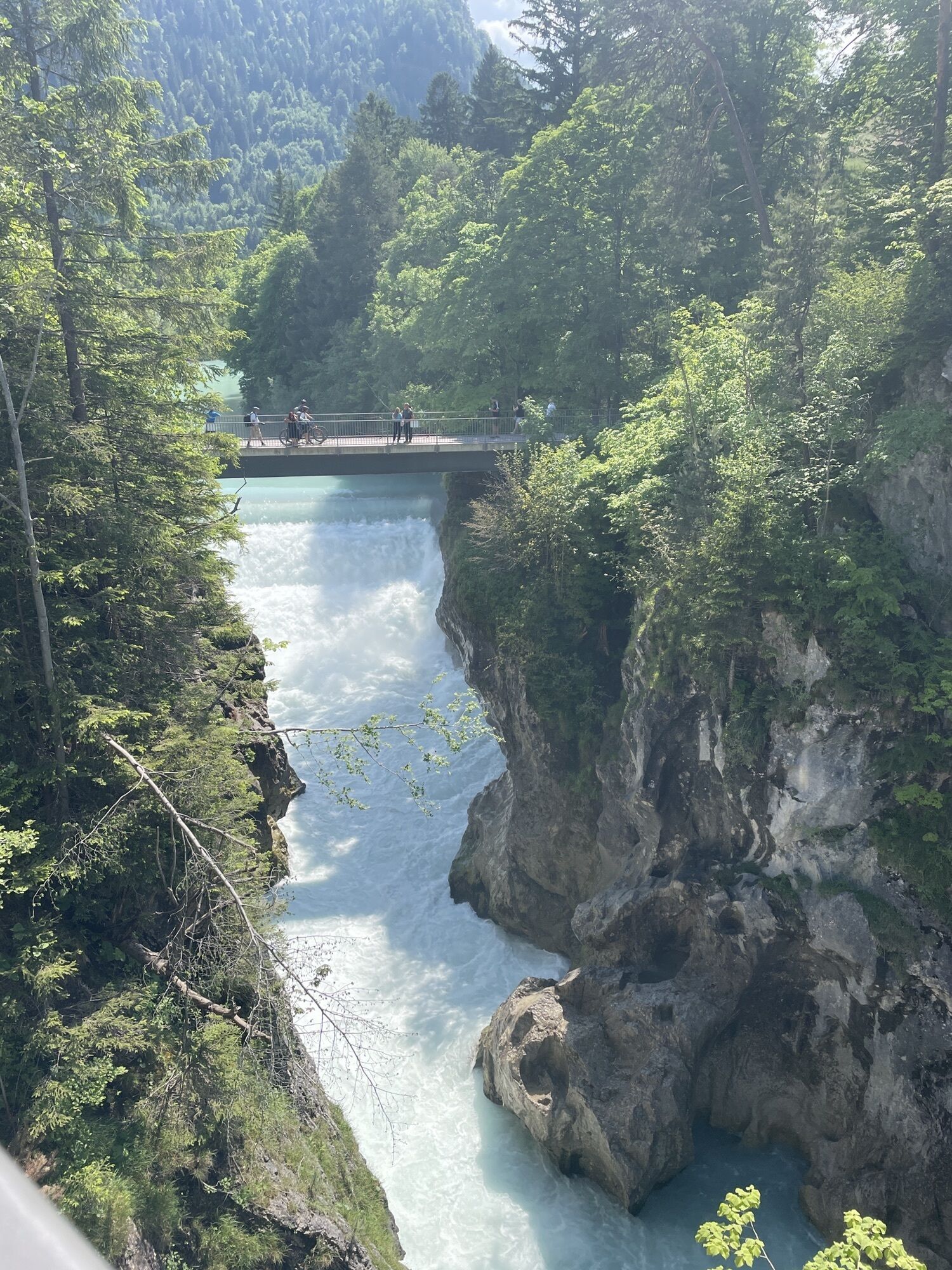
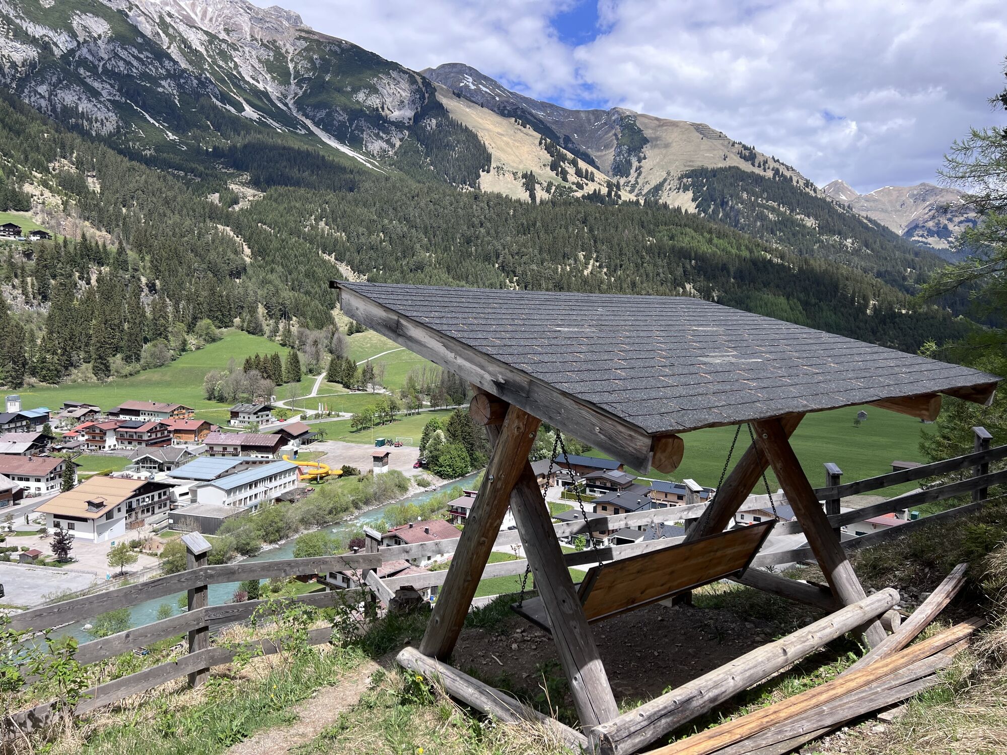
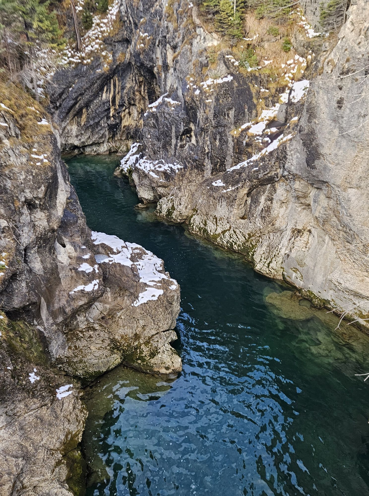
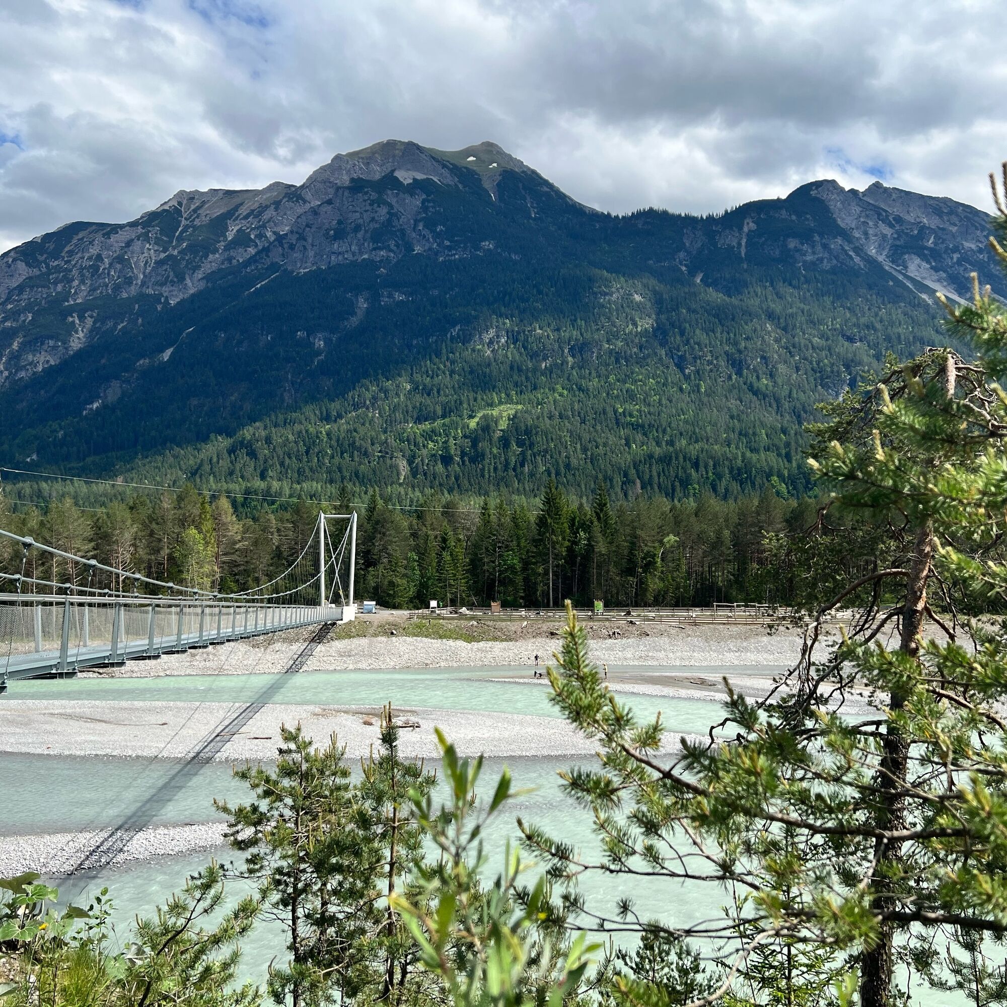
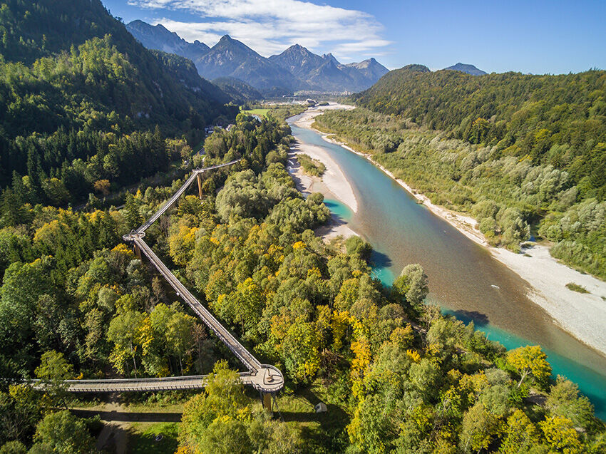
It continues over Elmen and Vorderhornbach to Stanzach. Next, you reach Forchach where a visit to the suspension bridge is especially recommended. You then cycle over the Johannes Bridge further to Weißenbach and from there soon to Höfen and Lechaschau near Reutte. If you have parked your car in Reutte, your tour ends here.
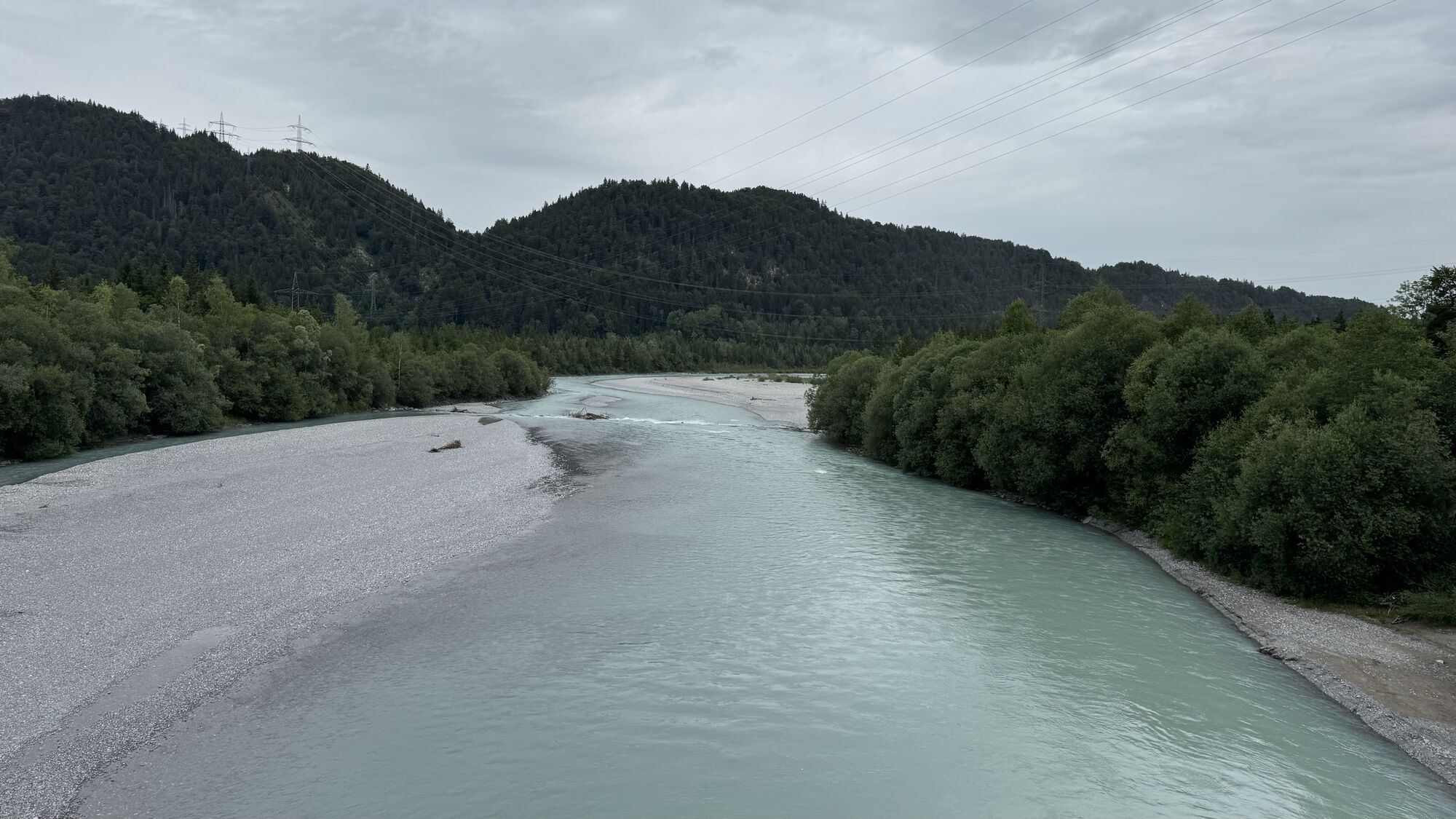
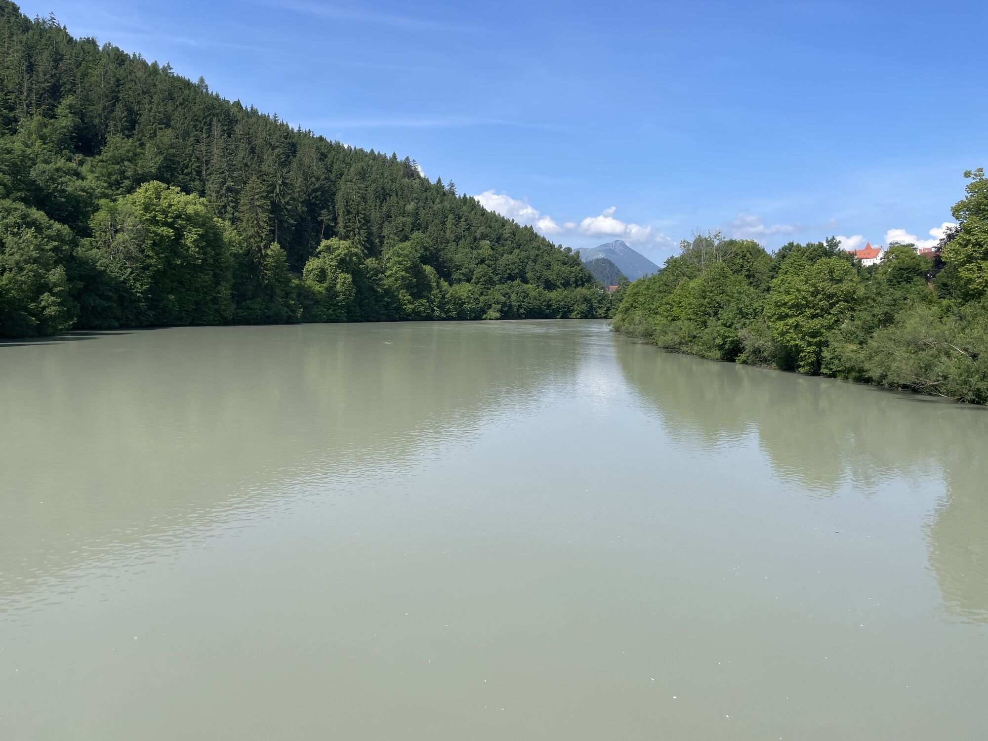
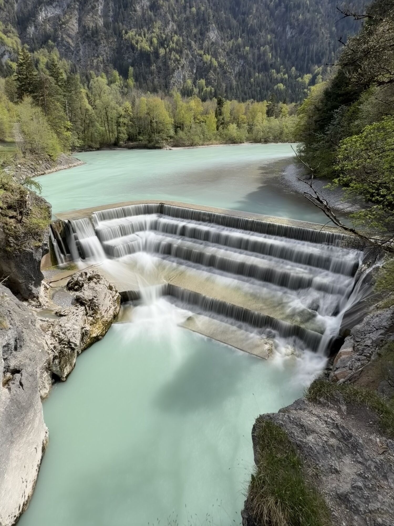
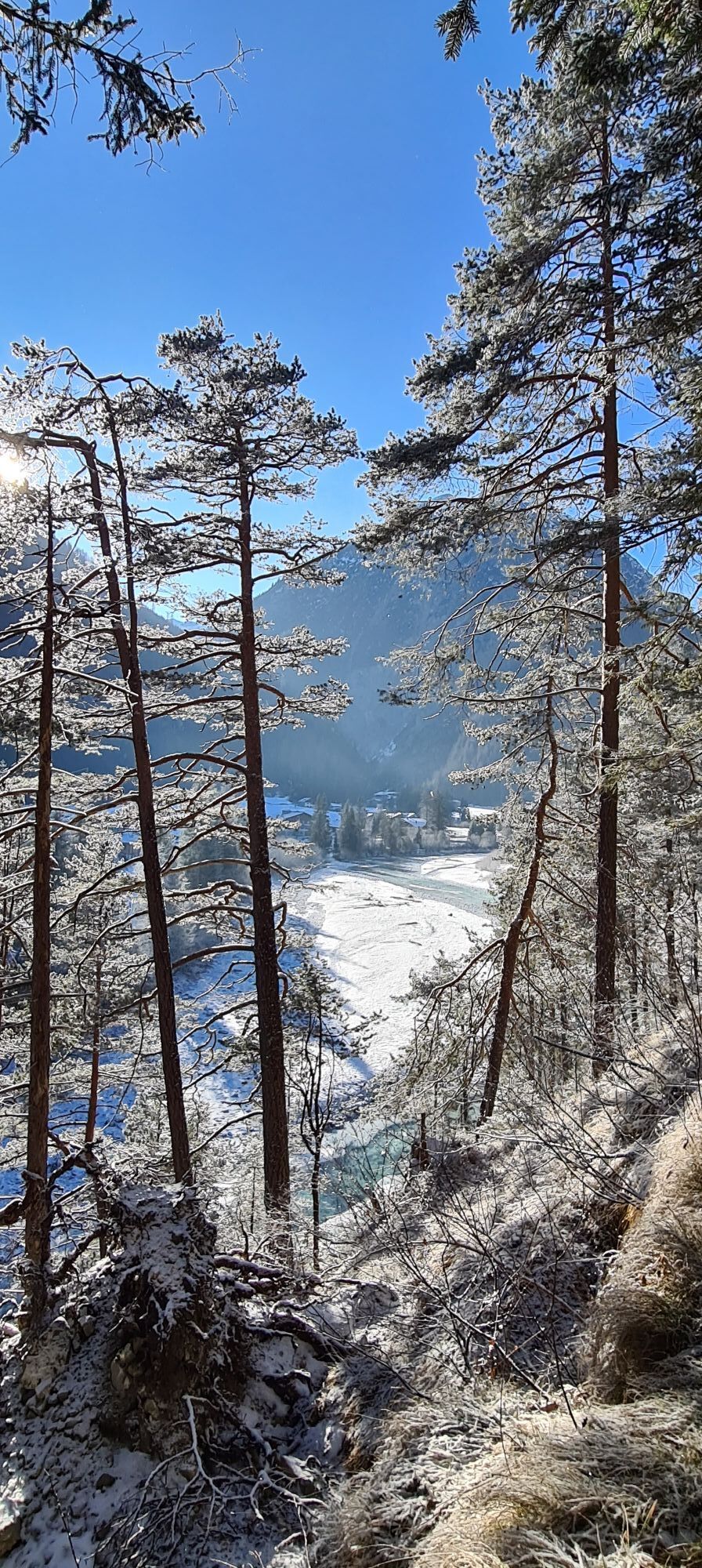
Otherwise, continue your ride: the bike path takes you through Musau and then across the border to Germany. You reach the forest experience center in Ziegelwies – a visit to the treetop path and the Lechfall is highly recommended here. Then follow the bike path over the Lechhalde, the Theresien Bridge, through Alterschrofen and past Bullachberg Castle back to Schwangau.
Áno
We recommend: bike helmet, weather-appropriate clothing, drinks, first aid kit and a repair kit.
By bike from Schwangau to Reutte:
Via Füssen, Ziegelwies and Musau to Reutte at the station (see last section of the bike route, other direction) Or via Hohenschwangau, Fürstenstraße, former inn Schluxen, turn right to Unterpinswang, over the Lech bridge, Musau, then to Reutte stationThen take the public bus from Reutte to Steeg: www.vvt.at
Bike transport on buses with e-bike suitable bike trailer depending on the available spots, up to max. 38 bikes.By public bus from Schwangau to Reutte Station (bike transport only allowed if there is space on the bus)
Bus:From Schwangau to Füssen: bus line 78: This line runs regularly from Schwangau (e.g. stop “Rathaus”) to Füssen. The trip takes about 23 minutes and is offered hourly.
From Füssen to Reutte: bus line 100: From the bus station in Füssen, line 100 goes to Reutte (stop “Reutte Untermarkt”). The trip takes about 25 minutes. Please note that buses on this line run about every four hours.
Bikes can also be rented in Reutte: https://www.reutte.com/erleben/radfahren/fahrradverleih/Then take the public bus from Reutte to Steeg: www.vvt.at
Bike transport on buses with e-bike suitable bike trailer depending on the available spots, up to max. 38 bikes.By car from Schwangau to Reutte station:
Free parking: Mühler Str. 36, 6600 Municipality of Reutte, AustriaEnd the bike route in Reutte and drive back to Schwangau by car
Then take the public bus from Reutte to Steeg: www.vvt.at
Bike transport on buses with e-bike suitable bike trailer depending on the available spots, up to max. 38 bikes.2
After you have returned to Schwangau at the end of the bike route, you can recharge in one of the many inns in Schwangau. Find numerous stops under www.schwangau.de/tisch.
Right at the beginning, a visit to the "Lechtaler Naturkäserei Sojer" in Steeg is worthwhile to refuel for the upcoming route: www.kaesereisojer.at/
Detours to the historic houses with Lüftlmalereien in Holzgau, to the Geierwally open-air theatre in Elbigenalp, as well as to the suspension bridge in Forchach are recommended
Webové kamery z prehliadky
-
Talstation
-
Tegelbergbahn Bergstation
-
Höfen Flugplatz
-
Höfen Flugplatz
-
Tegelberghaus
-
Füssen - Wellness Hotel Sommer
-
Segelclub Füssen
-
Hotel Schönauerhof
-
Bach Hotel-Gasthof Alpenblick
-
Weißenbach - Hotel Florence
-
Holzgau Wohlfühlhotel Berg Heil
-
Holzgau - Pension Knitel
-
Camping Hopfensee
-
Camping Hopfensee
-
Hopfen am See - Restaurant Fischerhütte
-
Gramais - Sonnenhof
-
Tegelbergbahn Bergstation
-
Tegelbergbahn Bergstation
-
Tegelbergbahn Bergstation
-
Tegelbergbahn Bergstation
-
Schloss Hohenschwangau
-
Bach - Schönau
-
Rieden am Forggensee - Salenberghof
-
Forggensee
-
Tegelbergbahn Bergstation
-
Füssen Appartementhotel Seespitz
-
Schwangau - Blick auf den Tegelberg
-
Hotel Hirsch
-
Hotel Hirsch
-
Hotel Hirsch
-
Hotel Hirsch
-
Hotel Hirsch
-
Hotel Hirsch
-
Hotel Hirsch
-
Bach Hotel-Gasthof Alpenblick
-
Höfen Flugplatz
-
Höfen Flugplatz
-
Höfen Flugplatz
-
Höfen Flugplatz
-
Tegelberg Landeplatz
Obľúbené výlety v okolí
-
4,8
Thaneller
strednáTuristika 4,90 km -
5,0
Gemeinde Grän, Tirol/Österreich Aggenstein Rundtour über Höhenweg
strednáTuristika 9,84 km -
4,8
Tannheim / Vilsalpsee / Landsberger Hütte
strednáTuristika 15,7 km -
4,3
Three-lake route (awarded the Tyrolean Hiking Trail Seal of Quality)
strednáTuristika 14,8 km -
4,7
Hönig over the Älplestal-valley
strednáTuristika 11,6 km -
4,6
3-Seen Rundtour Vilsalpsee / Schrecksee / Traualpsee
strednáTuristika 17,1 km -
4,9
To the Bad Kissinger Hut via the Gräner Höhenweg
strednáTuristika 13,0 km -
4,4
Durchs Schneetal zum Hahnenkamm
strednáTuristika 14,1 km -
4,8
Bad Hindelang, Hinterstein, Deutschland
strednáTuristika 14,1 km -
4,4
Tannheim - Vilsalpsee
svetloZimná turistika 3,80 km
Turistika a stopovanie


Nenechajte si ujsť ponuky a inšpiráciu na ďalšiu dovolenku
Vaša e-mailová adresa bol pridaný do poštového zoznamu.