







E-bike race track Bodenegg (661)
Úroveň náročnosti: 2
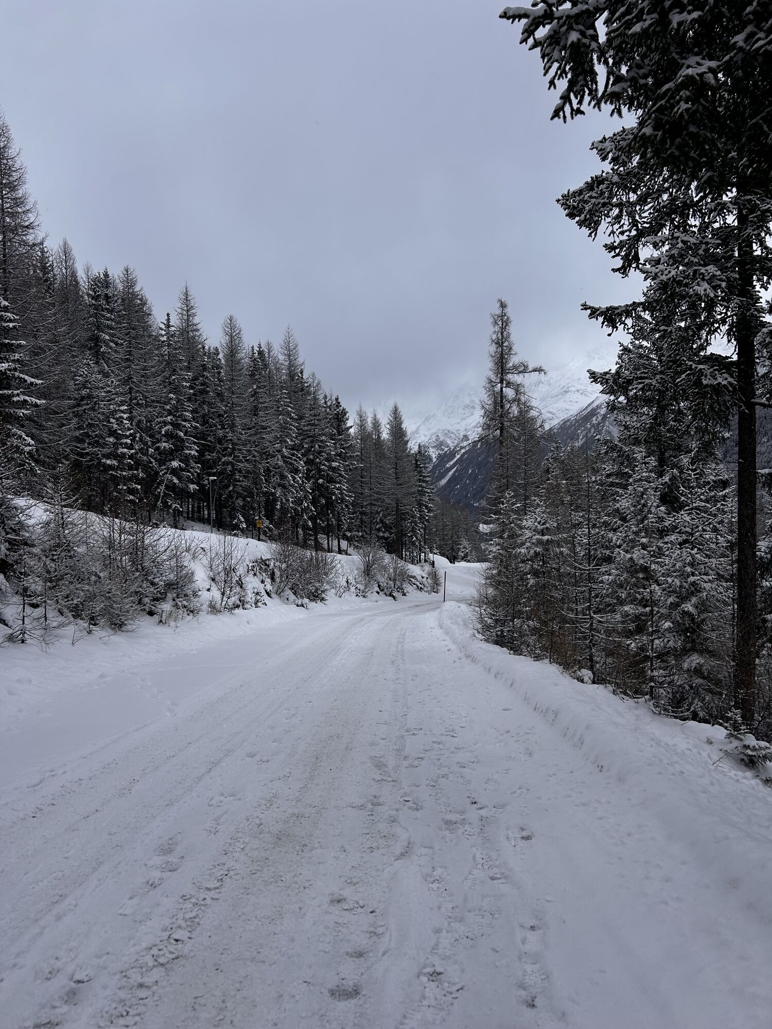
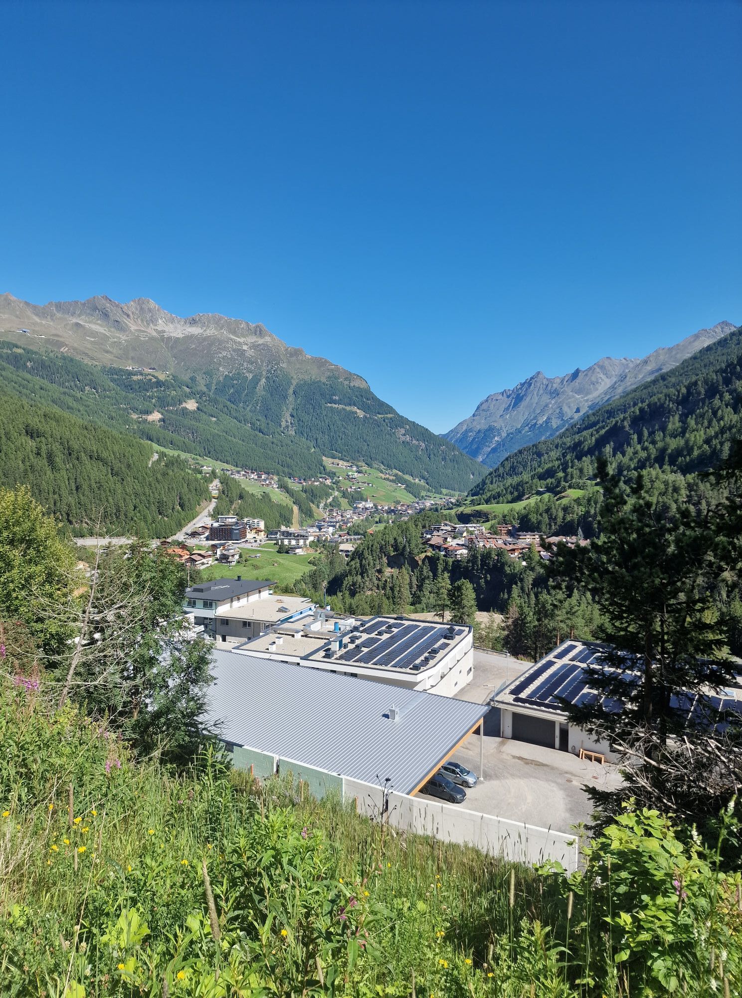
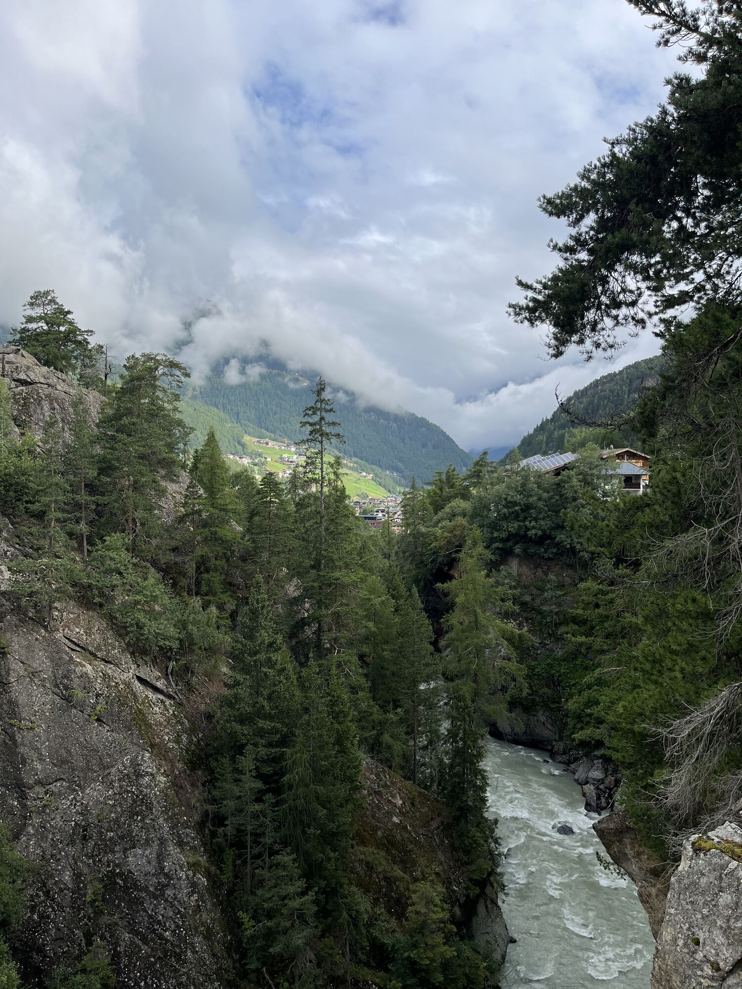
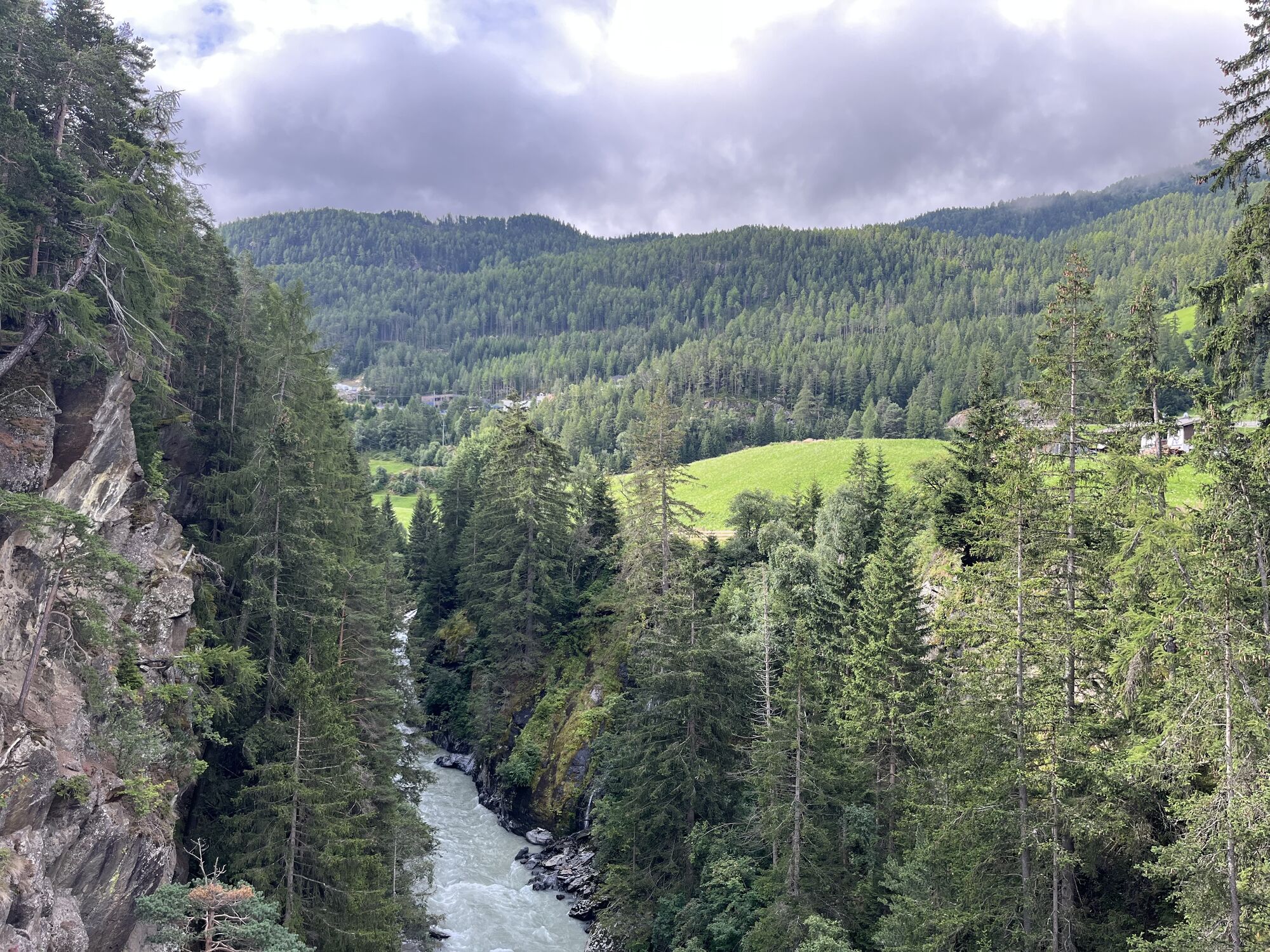
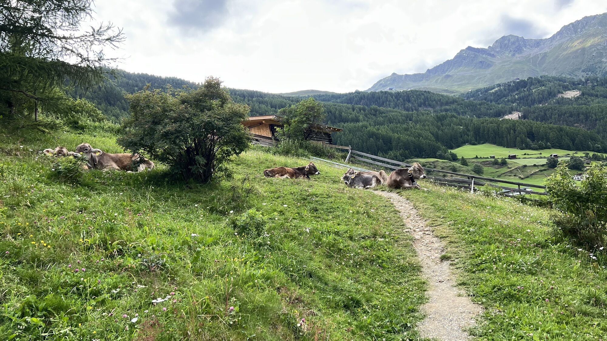
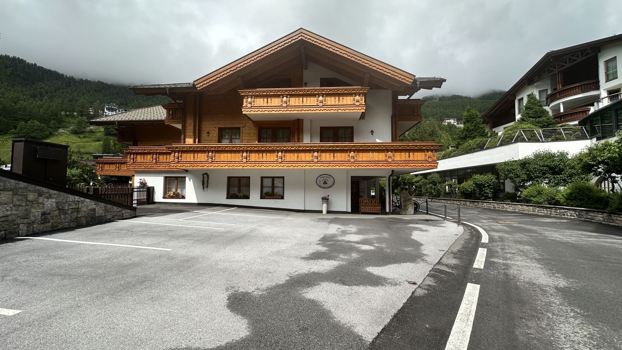
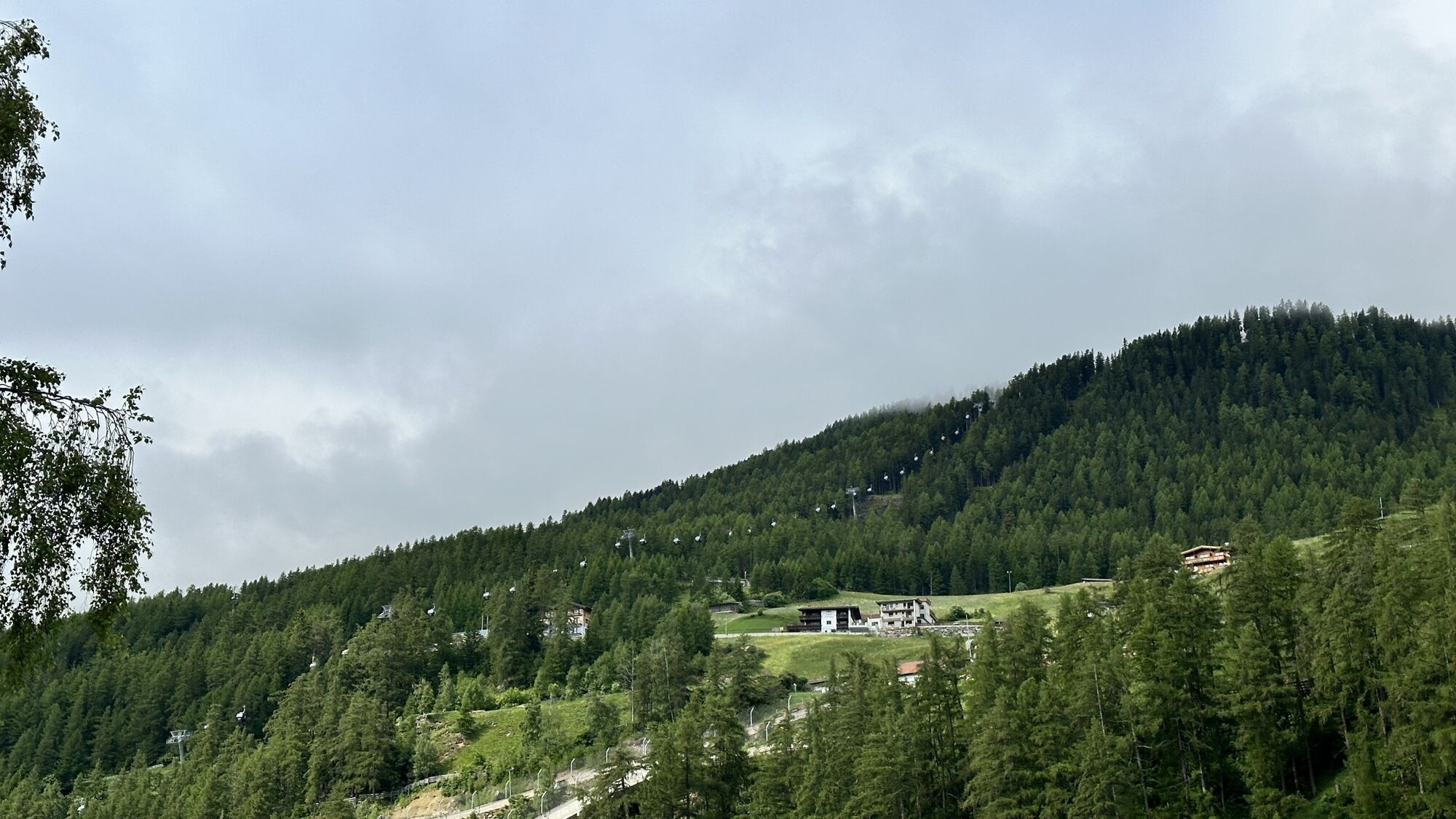
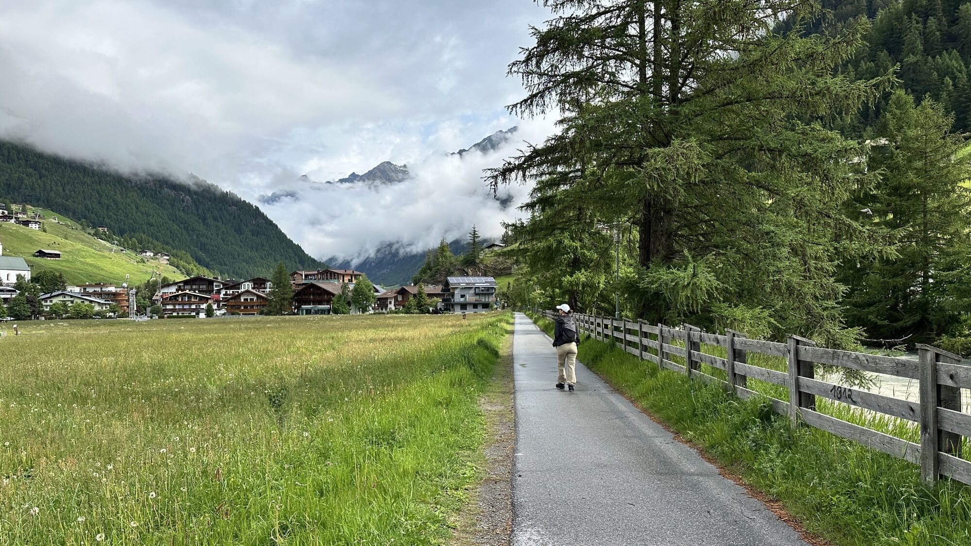
The circular route starts in Sölden and leads over the Ötztal federal road to Zwieselstein. From there, you follow a forest road on the left side of the Venter Ache to Bodenegg. At Bodenegg, the route...
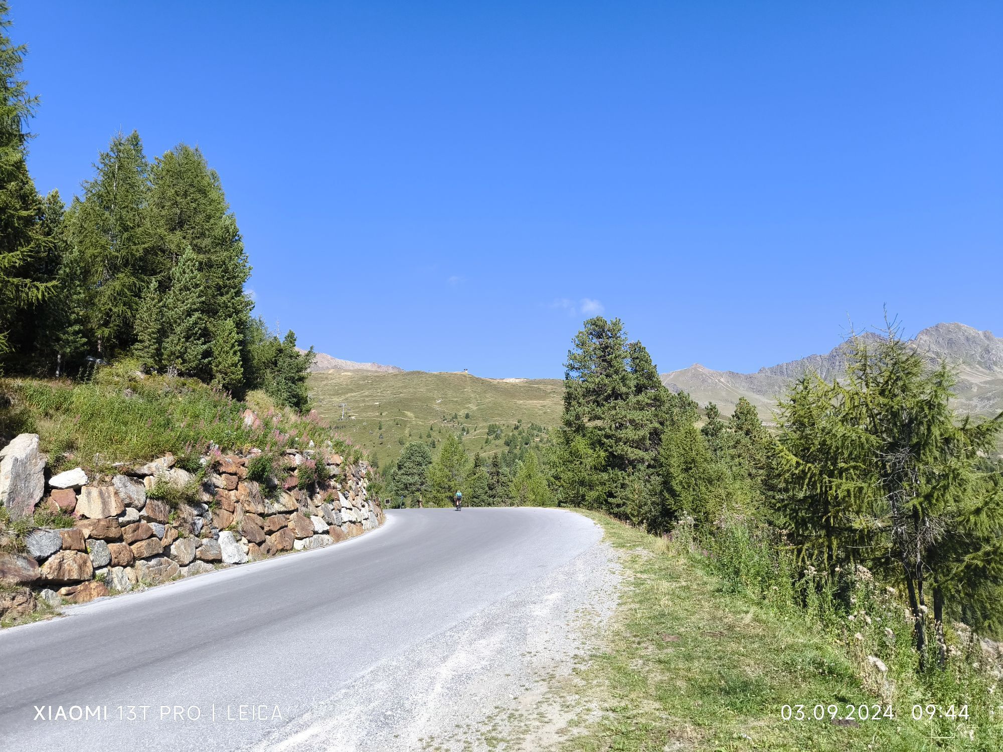
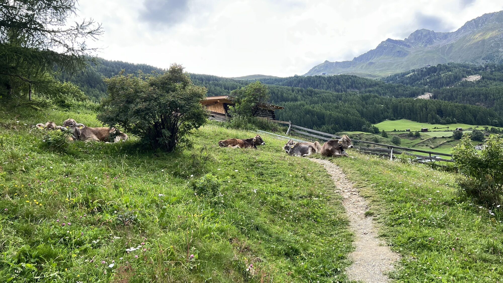
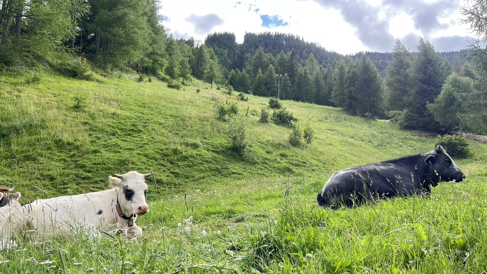
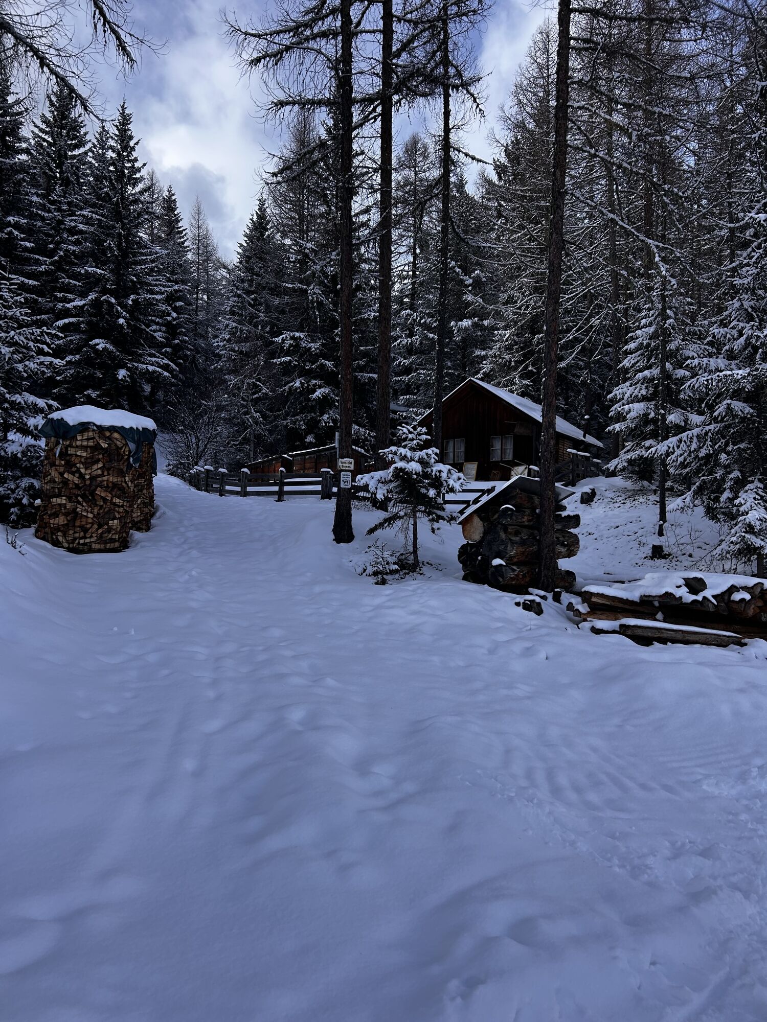
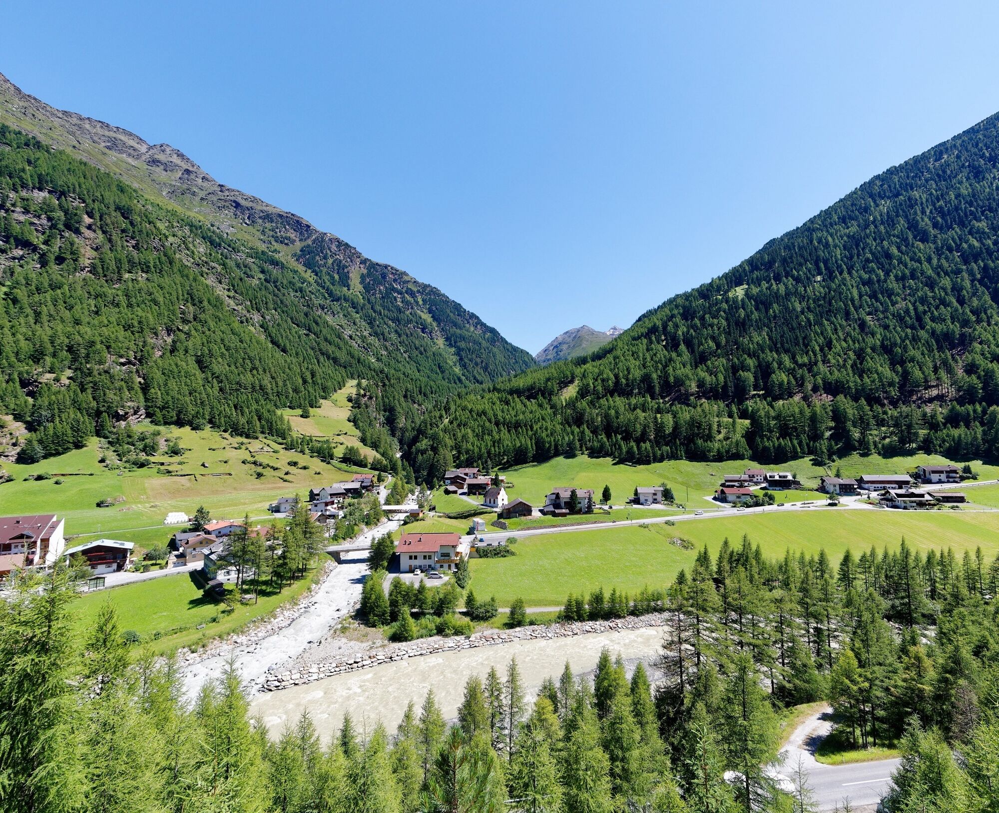
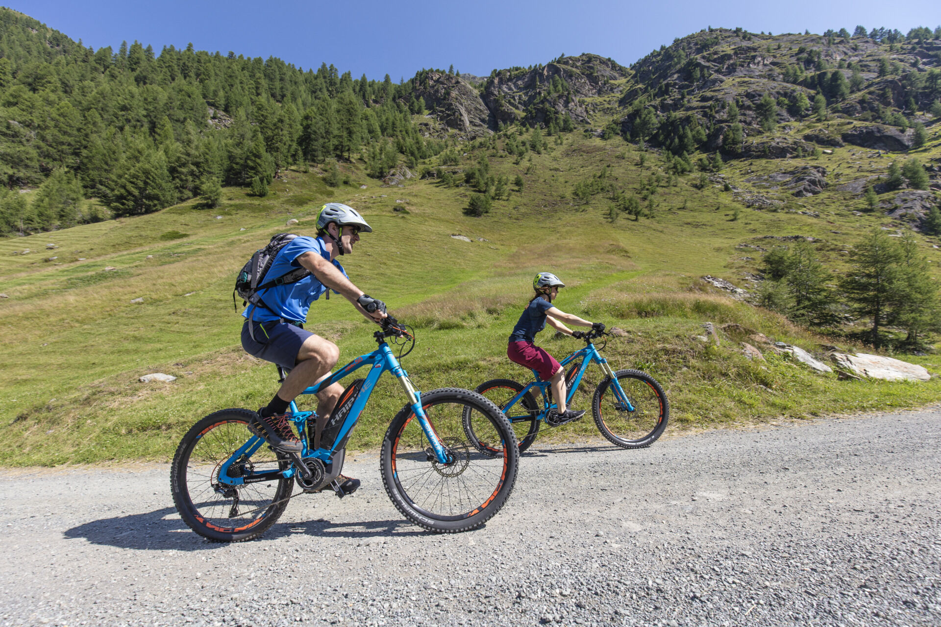
The circular route starts in Sölden and leads over the Ötztal federal road to Zwieselstein. From there, you follow a forest road on the left side of the Venter Ache to Bodenegg. At Bodenegg, the route leads back again to Zwieselstein and then on to Sölden. The route between Zwieselstein and Bodenegg is considered a mountain bike race track where several international mountain bike races have already taken place.
Especially on hot days, this bike route is a pleasure, as the biker is constantly riding through shady forest and the Venter Ache provides cool breezes. An attractive and varied loop, which on the return from Bodenegg can also be understood as an easy singletrail. At the end of the e-bike tour, you can conclude your cozy bike day with a Tyrolean dish at the guesthouse. The route is also suitable for acclimatization on the day of arrival – after all, Zwieselstein is located at just under 1500 meters above sea level.


The starting point of this beautiful circular route is in Sölden at the Freizeit Arena. From there, you go straight past the municipal office and cross the bridge to get to Dorfstraße. Here you turn left and follow the main road. The pleasant ride through the village goes past sports shops and countless places to stop for refreshments. After about 1 km, at the junction in front of the BP gas station, turn right (marked H). The road here leads slightly uphill above Sölden to the hamlet of Außerwald. At the next fork, first follow Lärchenstraße further uphill, then continue towards Seestraße. At the next junction, choose the left path and continue on Außerwaldstraße. Soon you reach the first houses of the small hamlet of Außerwald. After passing the Alpengasthof Grüner, at the next fork turn left and continue straight until you reach the next houses in Innerwald. At the first houses, turn right and follow Innerwaldstraße, which leads through the hamlet. Always follow the paved road, which soon leads slightly downhill. You soon reach the junction of Gletscherstraße. At hairpin turn No. 1 on Gletscherstraße, turn right onto the uphill street. Before the overpass over the ski slope, turn left and head towards Infang. At the next fork, stay left and continue to follow the path. After about 2 km, you reach the industrial area of Sölden. From here, after a few meters, you return to the Ötztal federal road. Opposite the recycling yard, turn right onto the federal road and follow it slightly downhill to Zwieselstein. In Zwieselstein, first cross the Ötztal road, then the Gurgler Ache, before just in front of the Brückenwirt guesthouse in Zwieselstein turning right onto a forest road. Follow this road parallel to the Venter Ache, which flows out of the valley to the right. You ride past wide fields and meadows and shortly reach the Zwieselstein sports field. The path continues through a short forest section before you cross the Venter Ache on the right and then reach the regional road to Vent (lightly trafficked). Here you keep left and follow the road further into the valley. After about 1.5 km, the Bodenegg road leads off to the left from the Venter regional road shortly before Bodenegg (marked P2). Follow this a few meters downhill and then turn sharp left to cross the Venter Ache and start the return route on the right side of the stream. The path leads through some shaded forest areas while the Venter Ache provides refreshment. You continuously follow this route parallel to the Venter Ache downstream. After about 2 km, you come to the first hairpin turn toward Gurgl on the federal road above Zwieselstein. Going down to Zwieselstein is only a few meters. From Zwieselstein, take the Ötztal federal road back to Sölden, the starting point.
Áno
A small section of the route leads over the busy Ötztal federal road. With children, the circular route can also be started directly in Zwieselstein - the just under 7 km from Zwieselstein to Bodenegg and back can therefore be easily managed.
Zwieselstein is located in western Austria in the state of TIROL, in a southern side valley of the Inn Valley - the ÖTZTAL. For your car journey, plan the optimal travel route from your home location using the route planner online right away: https://www.google.at/maps
Travel comfortably and safely by train to the Ötztal train station. The final stop or exit point is ÖTZTAL station. Afterwards, you can conveniently and quickly travel through the entire valley to your desired destination using public transportation or local taxi services! The current bus timetable is available at: http://fahrplan.vvt.at
In Sölden, the following parking options are available:
Postplatz parking lot Stiegele parking lot Step parking lot Giggijochbahn + underground garage Gaislachkoglbahn + underground garage Hochsölden parking lot Hochsölden parking garage 1st level Zwieselstein parking lot Zwieselstein/Sports field parking lotAll parking lots are free during the day.
For parking over several days (e.g. hut tour):
Postplatz, parking ticket available at the Sölden information office Parking garage Gaislachkoglbahn: parking ticket either online or directly at the Gaislachkoglbahn ticket office2
More info about biking & cycling in the Ötztal: https://www.oetztal.com/biken
Webové kamery z prehliadky
-
Hochgurgl
-
Seekogel
-
Gaislachkogel
-
Sölden - Tiefenbachferner Tal
-
Sölden - Hochsölden
-
Sölden - Grünwald Resort
-
Top Mountain Crosspoint Hochgurgl
-
Sölden - Grünwald Resort
-
Giggijoch
-
Sölden - Gaislachkogelbahn Mittelstation
-
Sölden - Schwarzkogl Talstation
-
Hochstubaihütte
-
Hochstubaihütte
-
Sölden Ort
-
The Peak Sölden**** Chalets und Appartements
Získajte prehľad
Vždy naživo na mieste s viac ako 9 500 webovými kamerami. bergfex Ako používateľ Pro si teraz môžete pozrieť príslušné webové kamery pre mnohé zájazdy v aplikácii zájazdy z. Môžete si tak priamo prezerať aktuálne podmienky.
Obľúbené výlety v okolí
-
4,5
Vent - Wilder Mann - Breslauer Hütte - Stableinalm
strednáTuristika 7,25 km -
4,7
Winter circular route Brandalm/Burgstein - Längenfeld 204
strednáZimná turistika 5,44 km -
4,8
Wilde Wasser Weg - Fortgeschritten
strednáTuristika 12,0 km -
5,0
Dresdner hütte - sulzenauerhütte
strednáTuristika 12,1 km -
4,5
Rundwanderung Hängebrück3
svetloTuristika 6,32 km -
3,8
Breslauer Hut
strednáTuristika 4,75 km -
4,3
Amberger Hut - Längenfeld/Gries
strednáTuristika 5,60 km -
4,4
Hochtour Wildspitze, 3.768m
strednáVysoké turné 9,75 km -
4,3
Hohe Geige über Gawinden und den Westgrat
ťažkéTuristika 14,3 km -
3,4
Tiefenbachglacier - Mountaineering Village Vent
strednáTuristika 10,8 km

Turistika a stopovanie


Nenechajte si ujsť ponuky a inšpiráciu na ďalšiu dovolenku
Vaša e-mailová adresa bol pridaný do poštového zoznamu.





