







Ötztal Cycle Path stage 3: Umhausen - Längenfeld

Úroveň náročnosti: 3
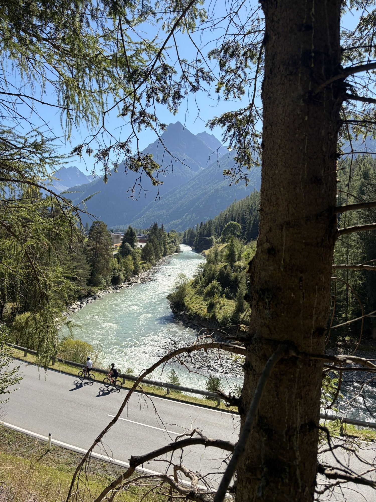
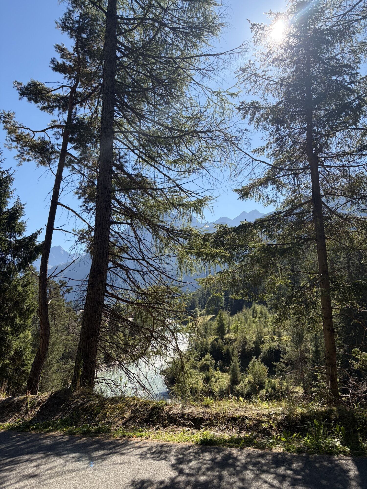
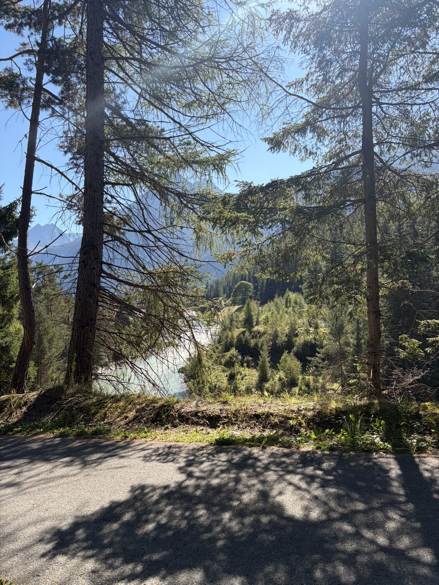
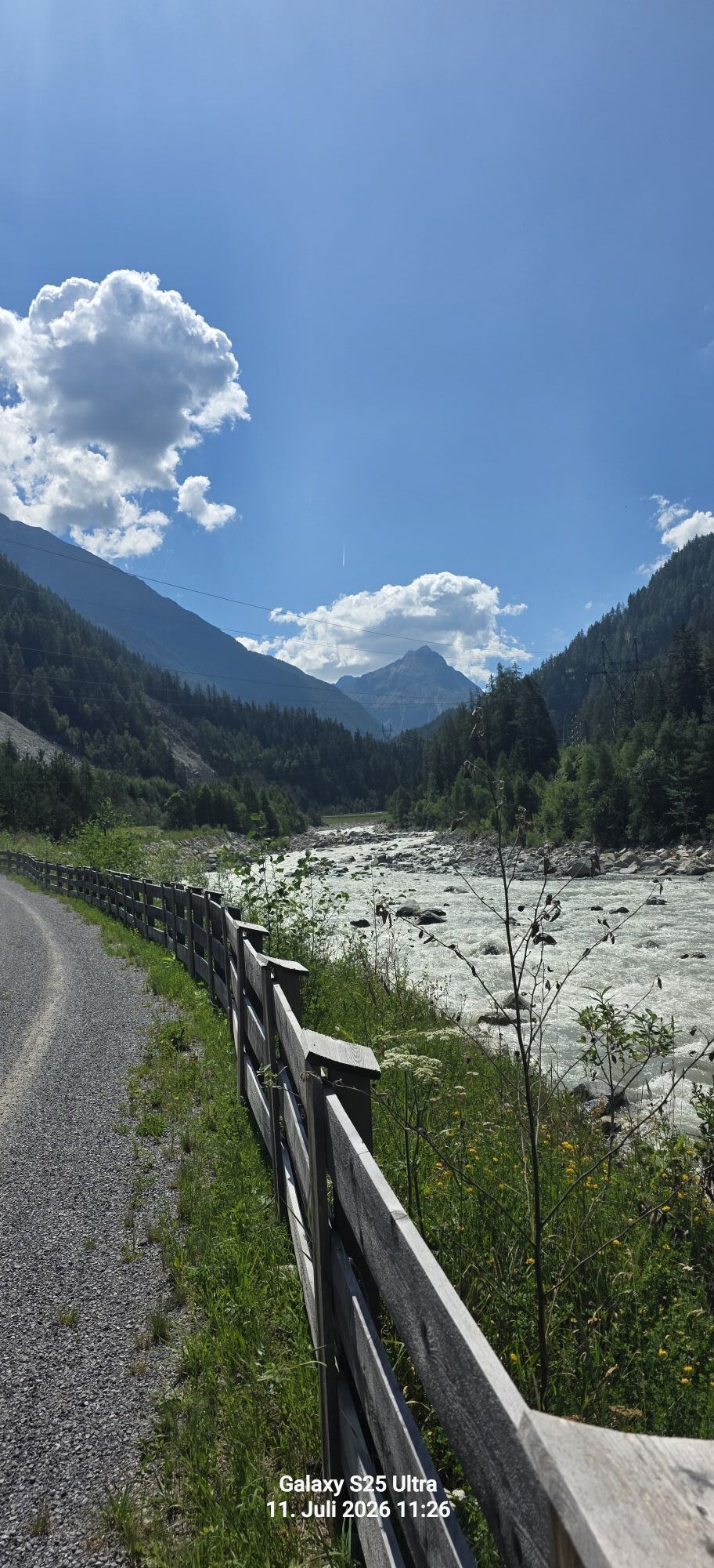
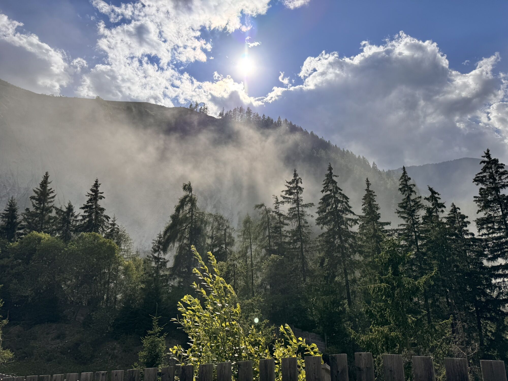
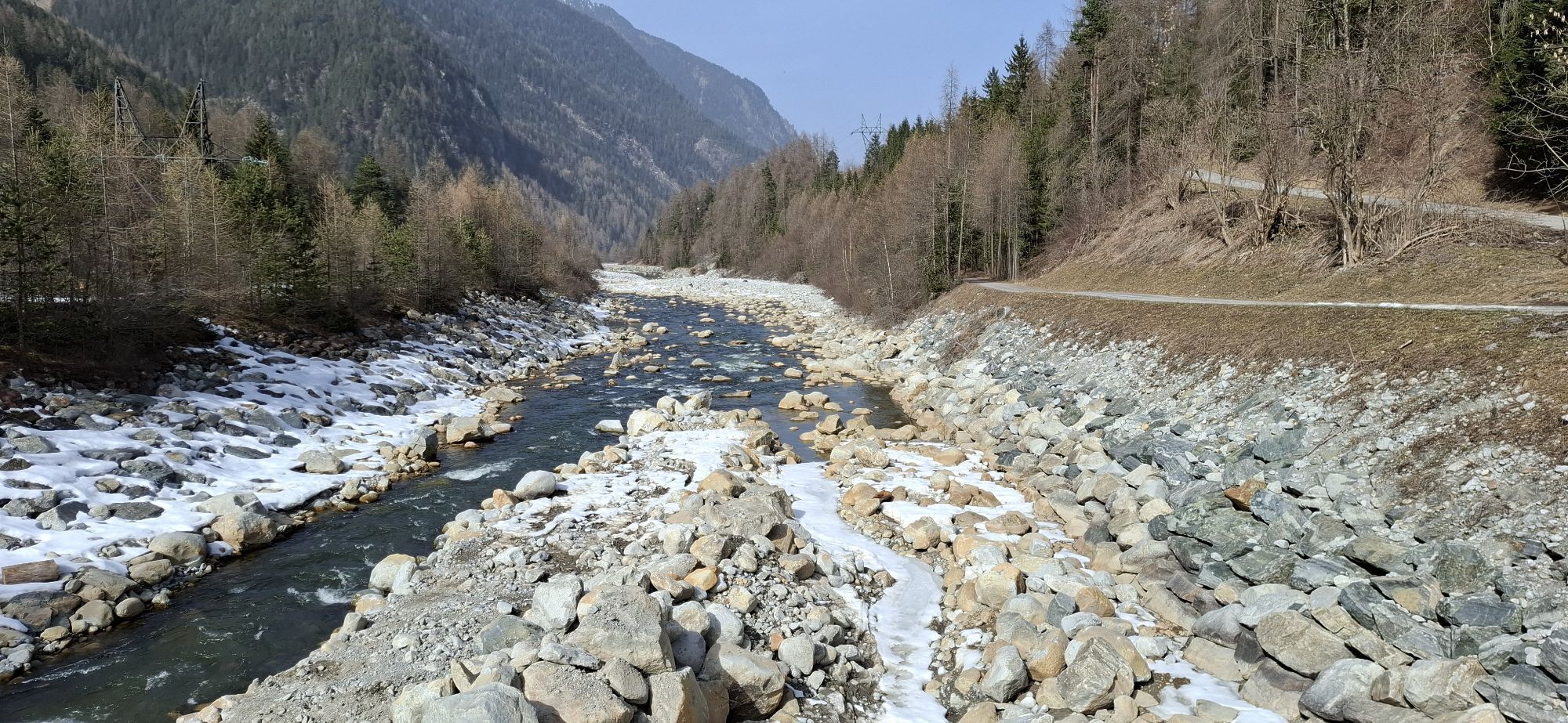
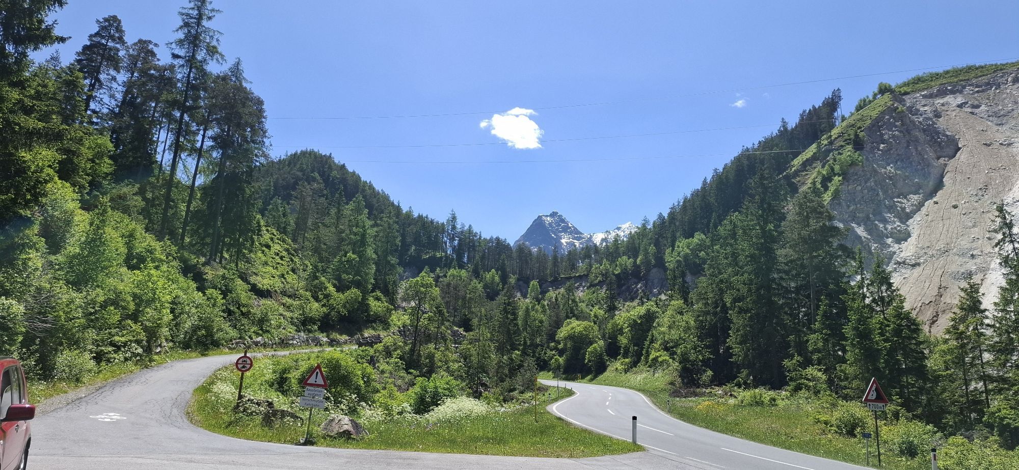
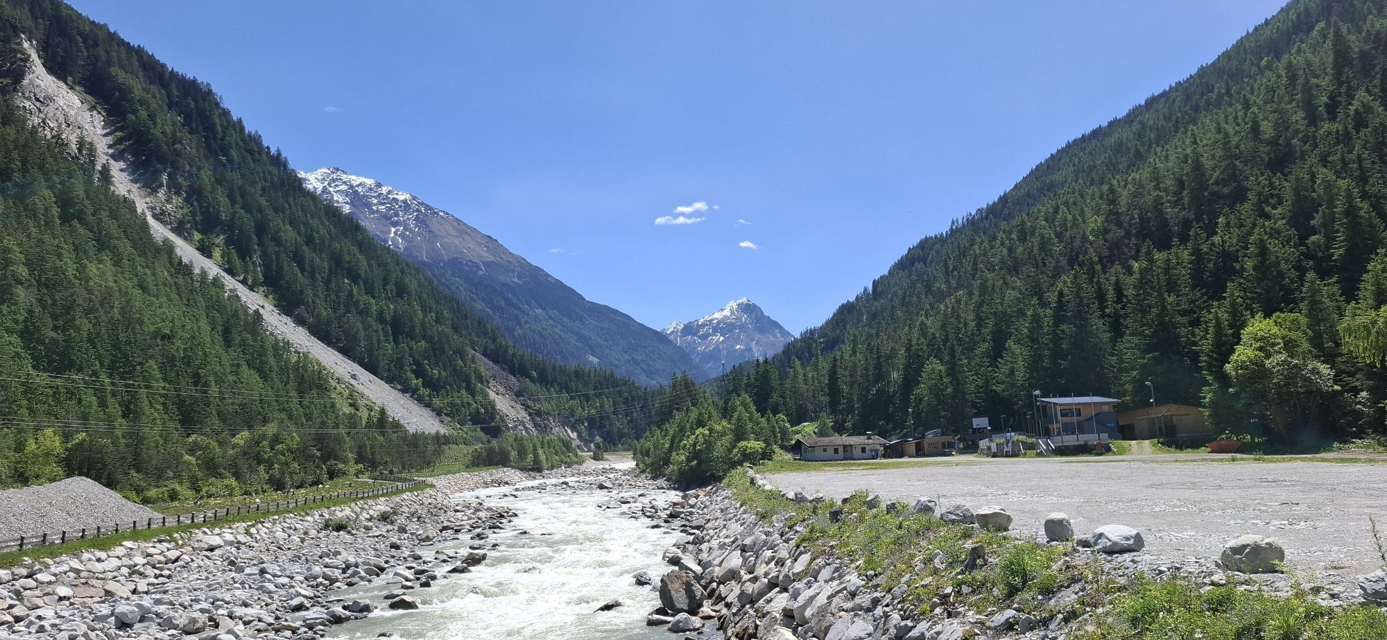
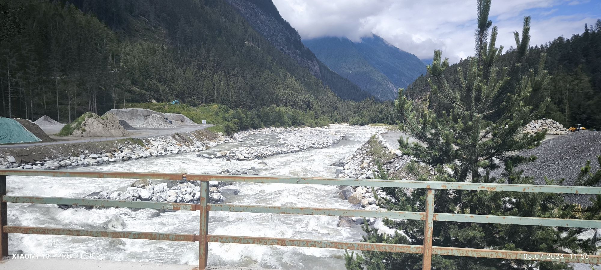
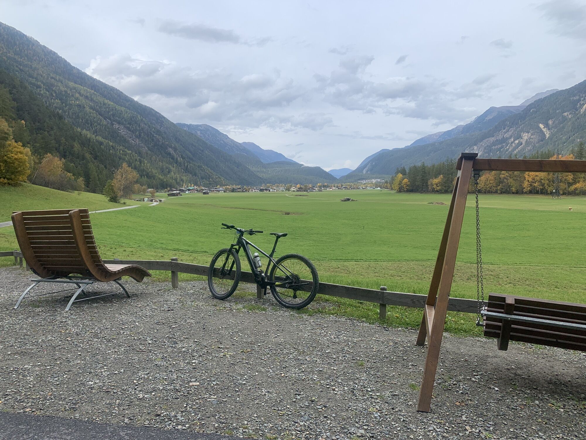
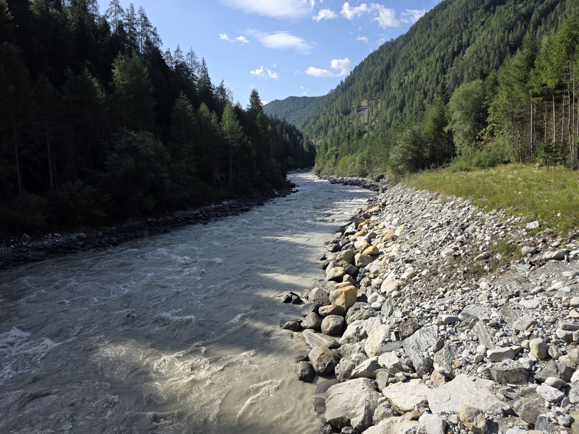
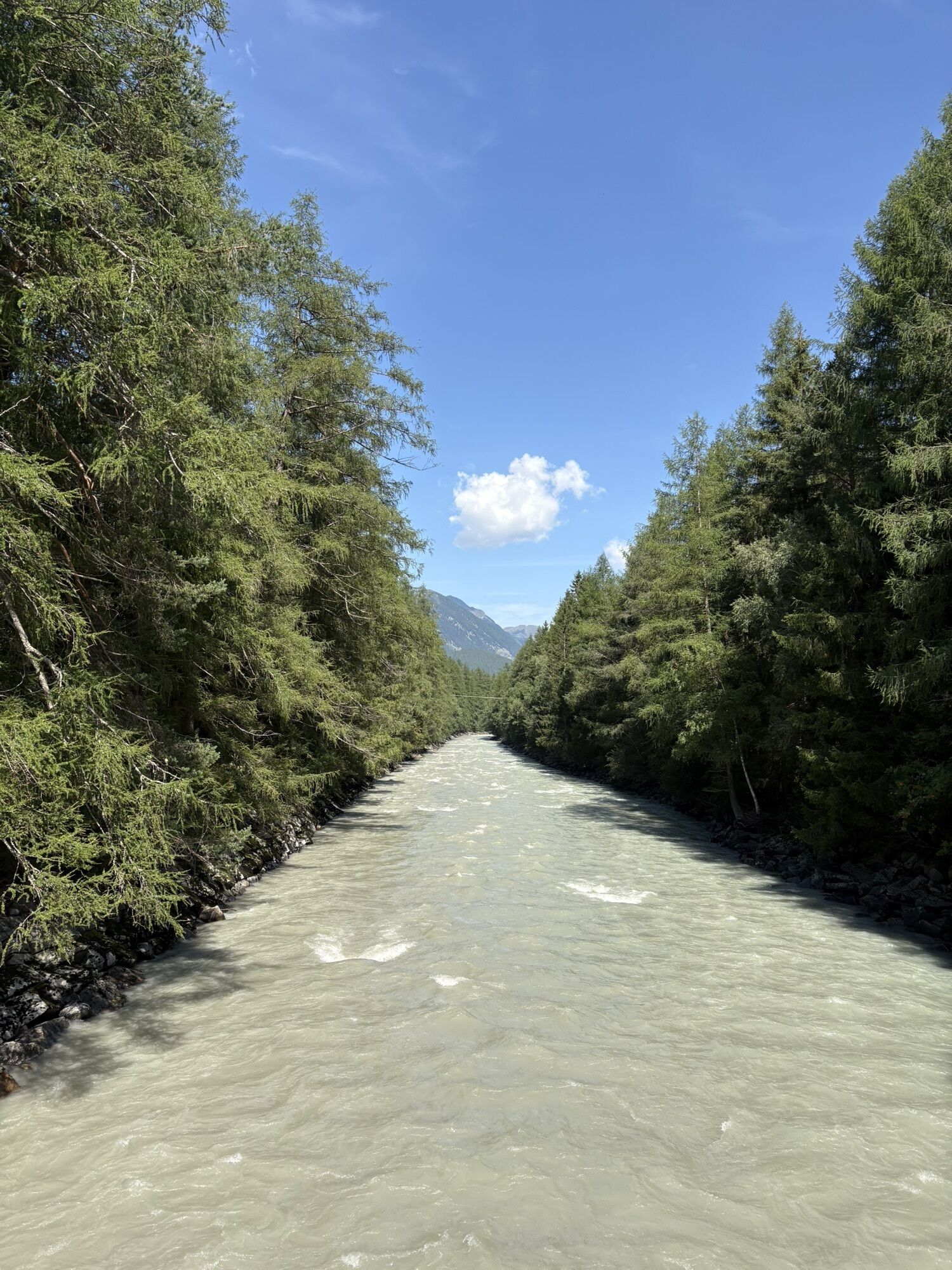
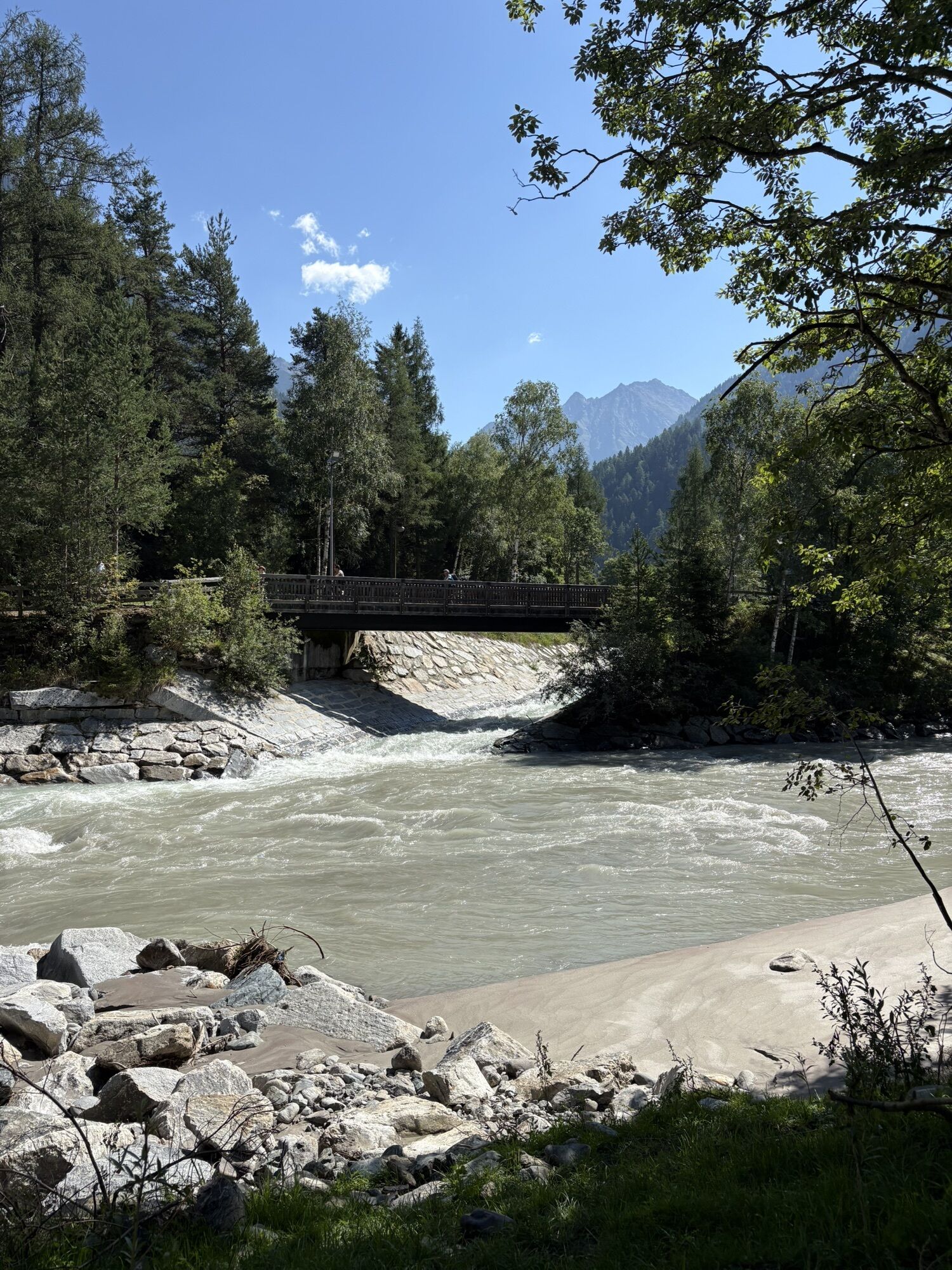
The cycle path continues along the Ache to the Köfels junction and on a gravel path towards Au. At the end of this path, an asphalt road leads above the roaring Ötztaler Ache across two newly built and...
The cycle path continues along the Ache to the Köfels junction and on a gravel path towards Au. At the end of this path, an asphalt road leads above the roaring Ötztaler Ache across two newly built and spectacular cycle bridges. After the second bridge, turn left into a steep forested section. At the end of the forest section, an underpass leads to the other side of the road. At the next junction, turn right towards Winklen, pass through the hamlets of Oberried, Lehn, and Unterried west of Längenfeld, and finally arrive in Längenfeld.

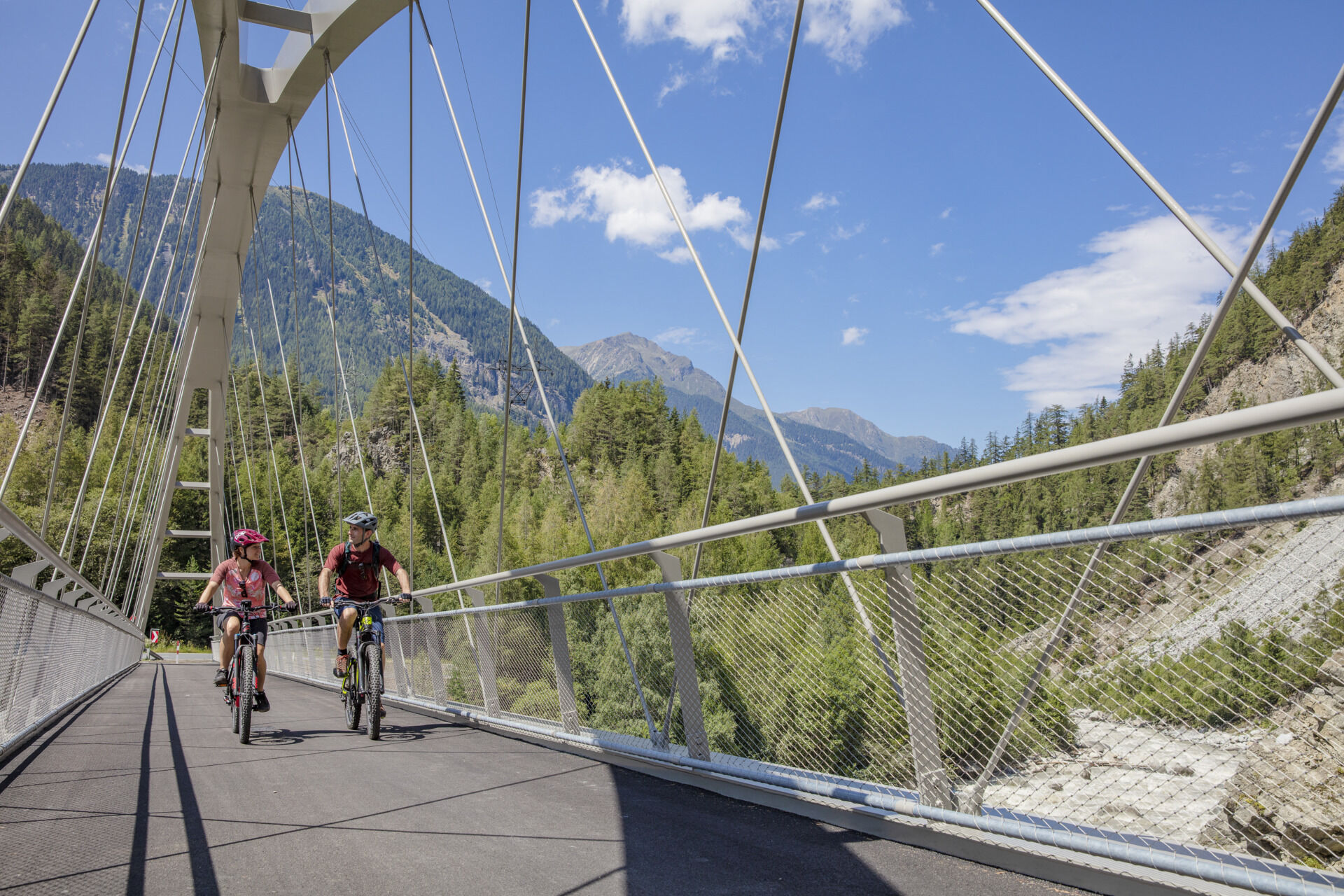
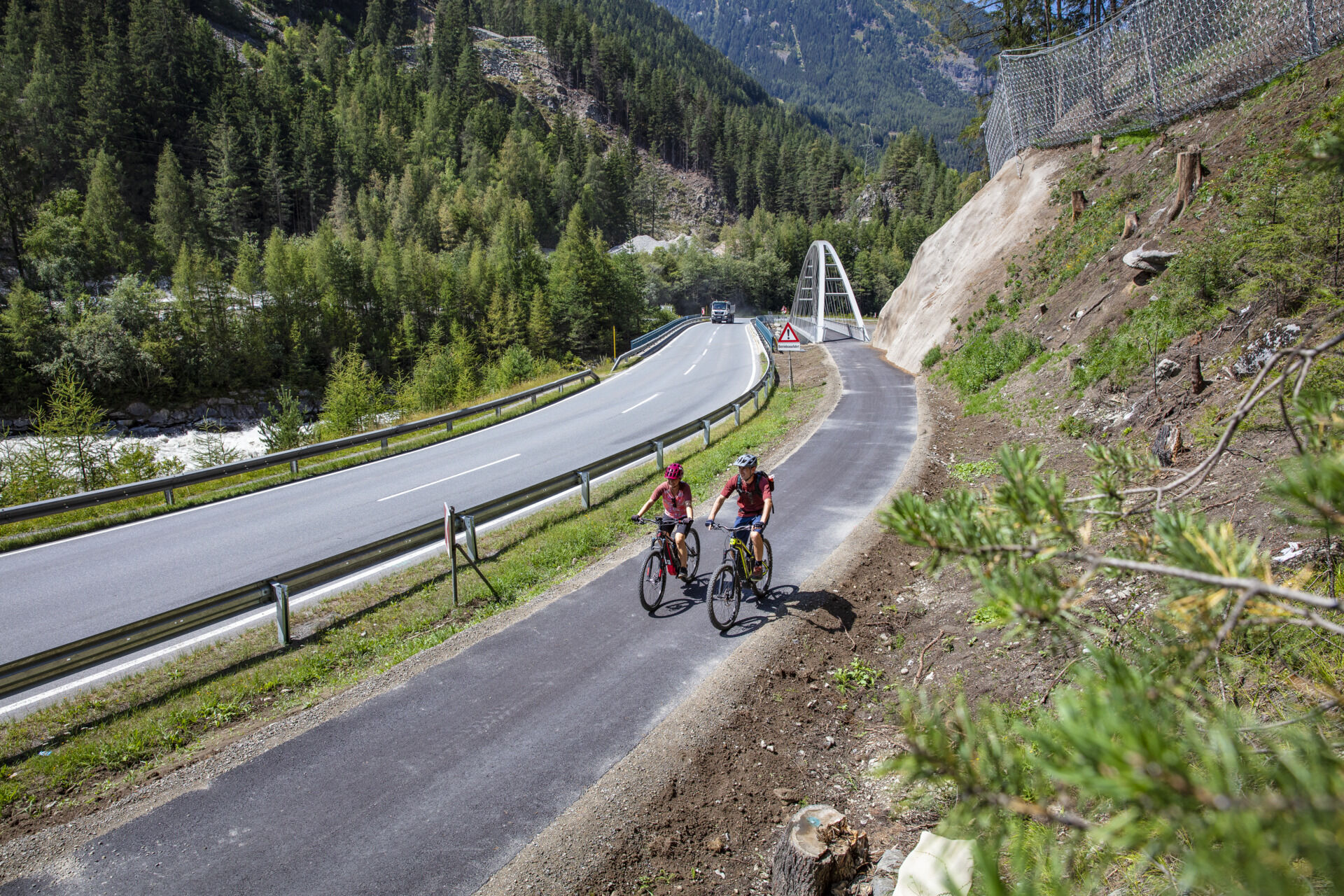
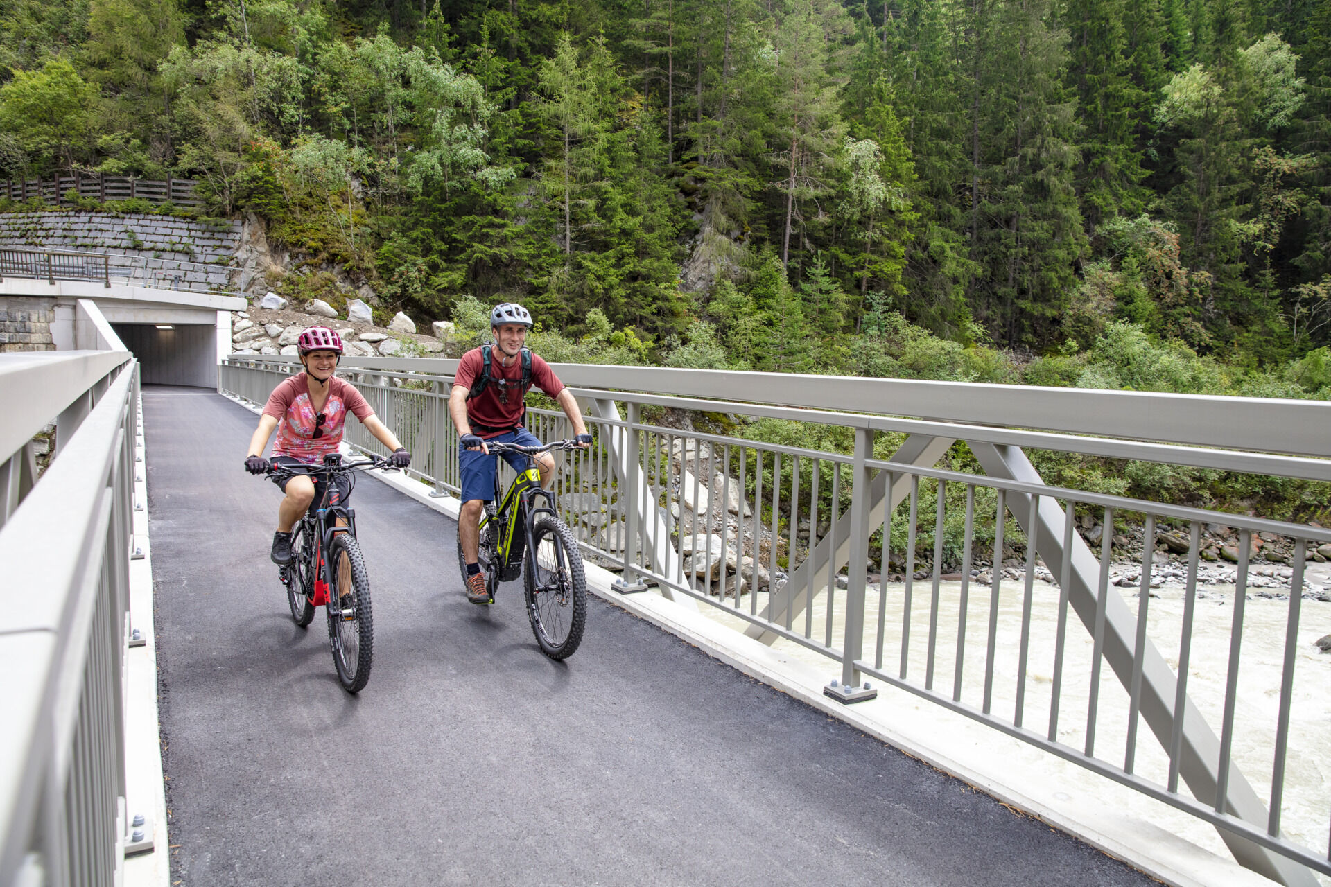
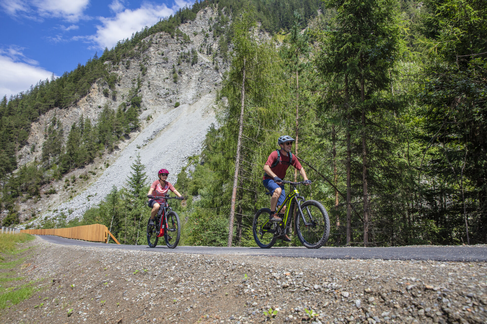
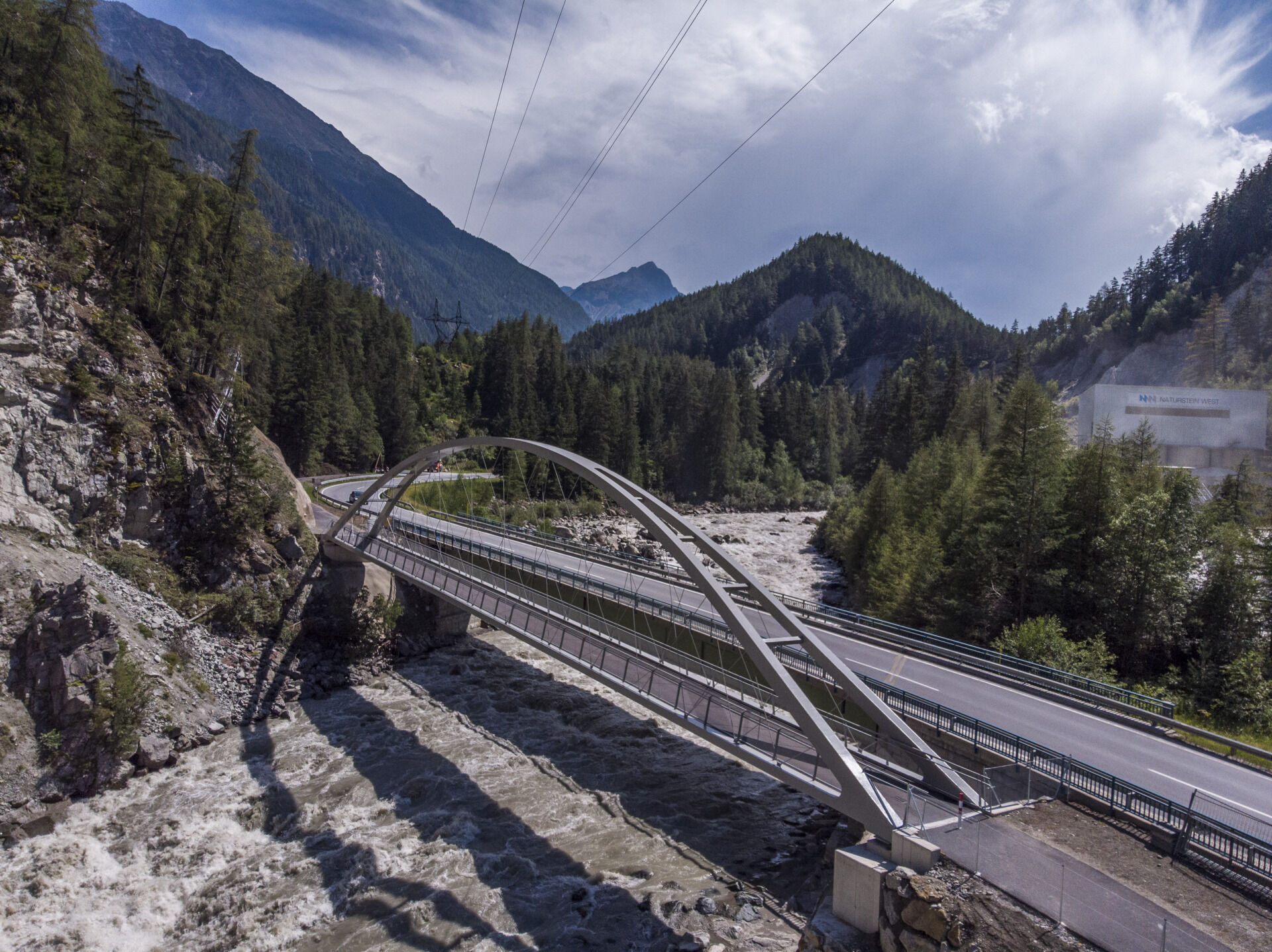
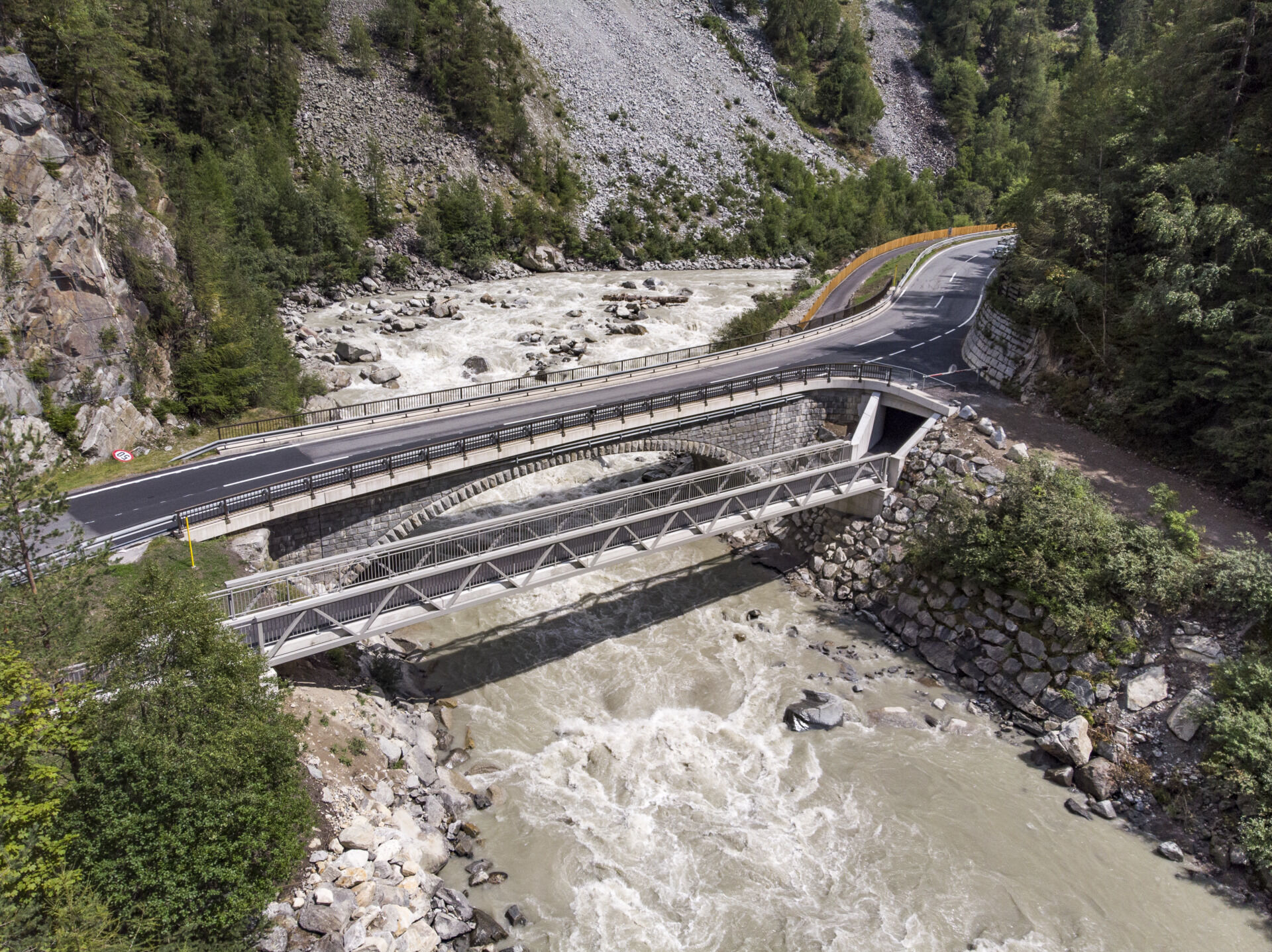
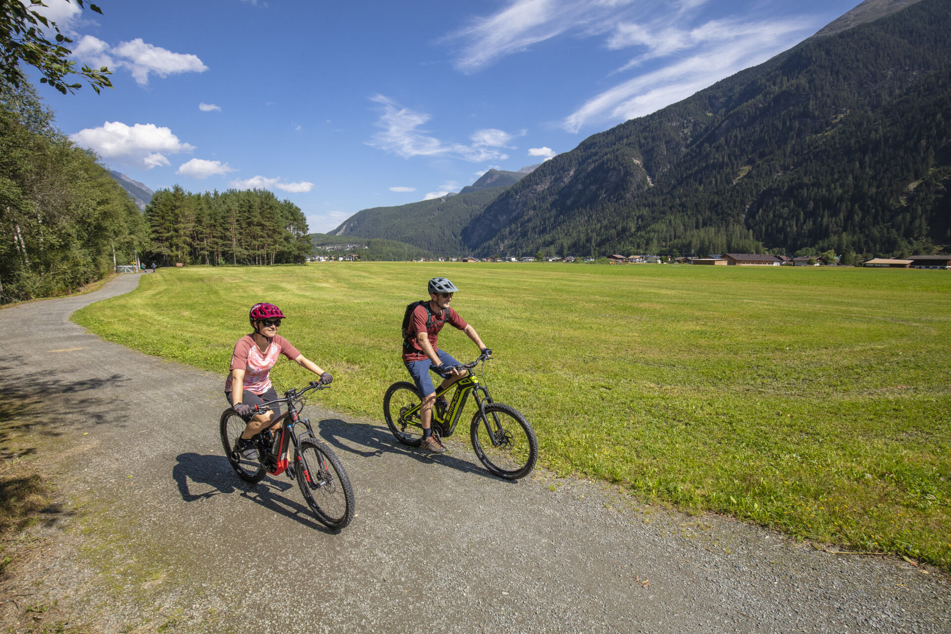
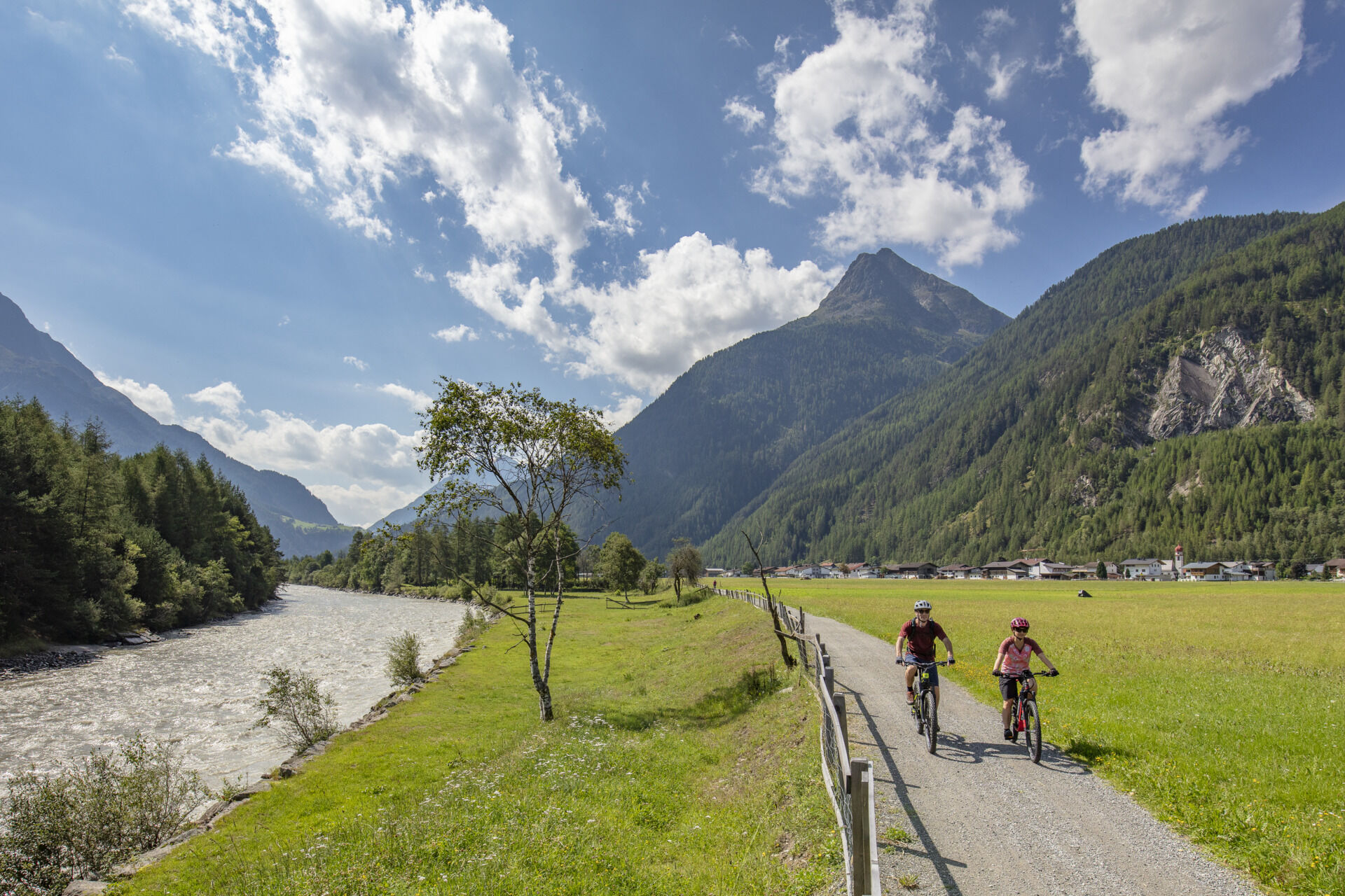

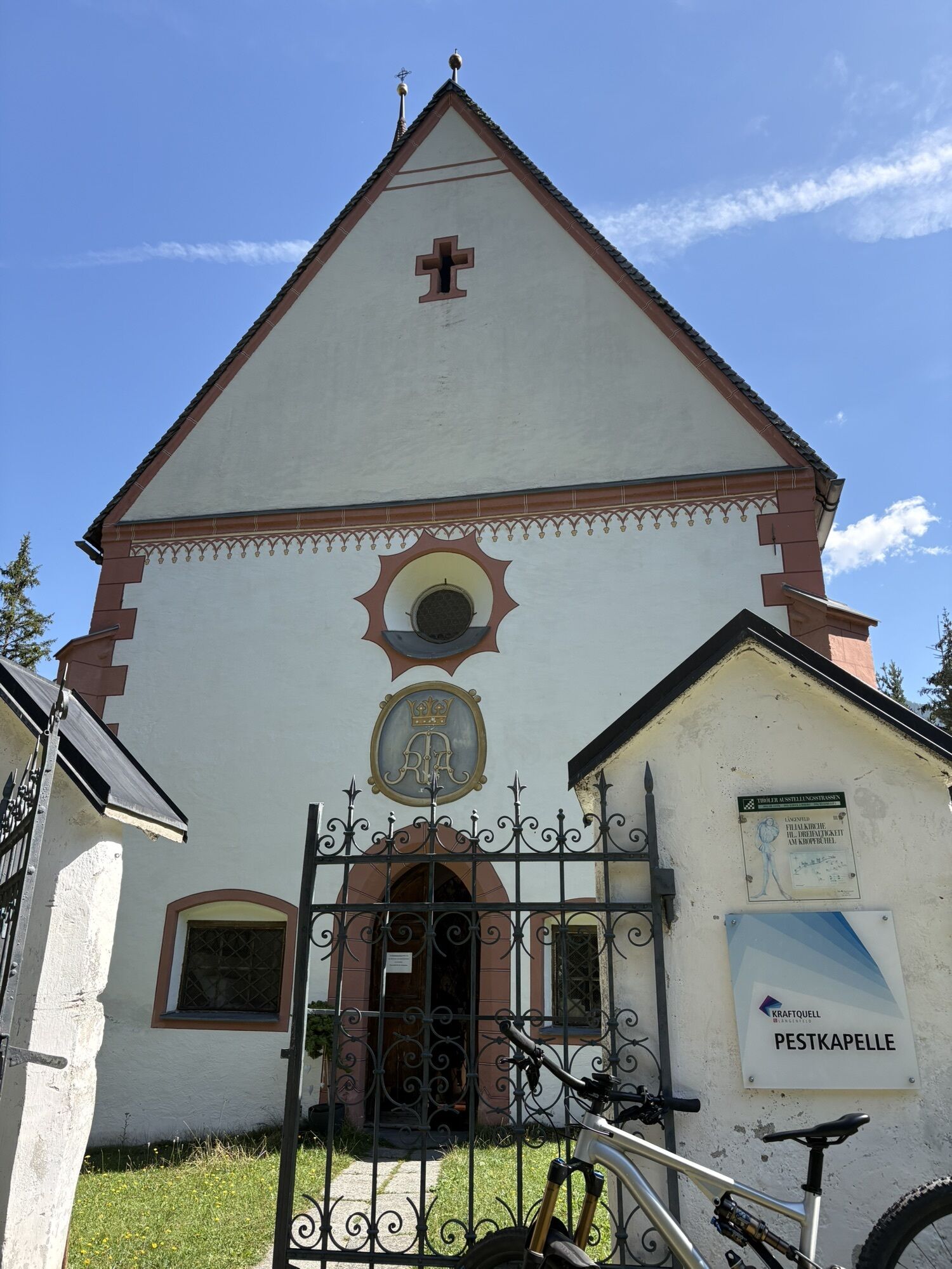
The third stage of the Ötztal Cycle Path starts in Umhausen near Östen. You cycle past the sports field and then cross the Ötztaler Ache. After the bridge, the path continues leftwards up the valley and leads through the hamlet of Leiersbach. Soon you enter a 3 km long, idyllic forest section. You continue along this at the next junction further up the valley until you finally cross the paved road to Köfels. Here the cycle path crosses the Ötztaler Ache again before immediately turning right onto a gravel path, which you follow until running parallel to the federal road. After a short while, the cycle path changes from gravel to asphalt and leads separately along the Ötztal federal road and above the roaring Ötztaler Ache across two newly built cycle bridges. After the second cycle bridge, you choose the gravel path, which goes a bit steeper uphill through a forested area to the hamlet of Au. Below the Nöslach chapel, you reach the other side of the road via an underpass and follow the path until you finally reach the small hamlet of Au. At the beginning of Au, however, you take the path to the right towards Winklen and after a few meters turn left to follow the meadow, cycle, and hiking path along the Ötztaler Ache. At the next fork, you then choose the path leading right. After a short crossing of the road, you continue relaxed and soon reach the hamlet of Unterried. Here, you follow the road straight ahead, pass the local history museum and the Lehner waterfall, and shortly after reach the next hamlet of Oberried. In Oberried, first turn left, then immediately right and continue to follow the signs towards Längenfeld. At the end of Oberried, the path leads onto a gravel road that continues through wide fields and past the Pest chapel. After crossing the Ötztaler Ache, you ride straight through a small forest area. After a short time, you reach directly the sports field and swimming pool of Längenfeld. From here, it is only a few meters to the center of Längenfeld.
Gear up! We recommend wearing special bike protective gear on all cycling and mountain bike routes in the Ötztal region. We recommend bringing enough water.
The Ötztal Cycle Path features some inclines and should not be underestimated in this regard.
BIKE BEHAVIOR RULES
Always ride on the right, at controlled speed and, if necessary, at half visibility, especially on narrow sections and sharp curves, as counter-traffic or obstacles can be expected at any time (e.g., bollards, barriers, stones, branches, cattle grids, other vehicles). Note that the roads and paths used often have mixed uses and obstructions may occur at any time (e.g., agricultural and forestry vehicles, authorized vehicles, temporarily stored wood, grazing livestock). Show consideration especially to pedestrians and other cyclists, overtake only at walking pace. Consider the technical and physical difficulty level of your cycling route and assess your experience and skills as a cyclist accurately (for bike or e-bike beginners, a safety training course is recommended if needed). Protect your head with a helmet and check your equipment before each cycling tour (brakes, bell, light, reflectors, etc.). Observe driving bans and barriers. Close the pasture gates. Respect animals and nature and avoid riding off the streets and paths that are open for cycling traffic. Do not leave any waste behind. According to traffic regulations, only e-bikes/pedelecs with a maximum speed of 25 km/h are permitted on cycle paths.Umhausen is located in western Austria in the state of TIROL, in the Inn valley. For your arrival by car, plan the optimal travel route from your home location with the route planner online: https://www.google.at/maps
Travel comfortably and safely by train to the Ötztal train station. The final station or drop-off point is ÖTZTAL station. Afterwards, you travel conveniently and quickly with the local public transport or local taxi companies through the entire valley to your desired destination! The current bus timetable is available at: http://fahrplan.vvt.at
The following parking options are available in Umhausen-Niederthai:
Umhausen Mure parking lot - free Umhausen Bischoffsplatz - paid from 7:00 am to 6:30 pm Tumpen/Lehn-Platzl at the climbing garden Engelswand parking lot (paid) Köfels parking lot (paid)3
asphalt sections:
1. Underpass Ferdinandsbrücke - district Au 3 kilometers
2. District Unterried - Aqua Dome 4 kilometers
Webové kamery z prehliadky
-
Niederthai im Ötztal
-
Niederthai - Alpin Appart
-
Therme Längenfeld
-
Längenfeld - Ortsblick
-
Gries - Längenfeld
-
Umhausen - Vivea Gesundheitshotel
-
Umhausen - der Veitenhof
-
Stuibenfall
-
Stuibenfall
-
Stuibenfall
-
Stuibenfall
-
Stuibenfall
-
Umhausen / Hotel Tauferberg
-
Umhausen / Hotel Tauferberg
-
Umhausen / Hotel Tauferberg
-
Umhausen / Hotel Tauferberg
-
Niederthai - Delano
-
Niederthai - Delano
-
Umhausen / Hotel Tauferberg

Obľúbené výlety v okolí
-
4,7
Winnebachsee Hut – Längenfeld/Gries
strednáTuristika 4,74 km -
4,7
Winter circular route Brandalm/Burgstein - Längenfeld 204
strednáZimná turistika 5,44 km -
4,4
Hike Stuibenfall - Umhausen
svetloTuristika 2,95 km -
4,3
Stuibenfall Umhausen circular hike
svetloTuristika 9,32 km -
4,5
Oetz - Piburger See - Oetz
strednáTuristika 7,16 km -
4,5
KÜHTAI: Kühtai (2020) - Sulzkogel (3016) - Mute (2398)
strednáVysoké turné 15 km -
4,4
Rundwanderung Hängebrück3
svetloTuristika 6,32 km -
4,4
Hohe Geige über Gawinden und den Westgrat
ťažkéTuristika 14,3 km -
4,3
Lampsenspitze, Sellrain, Tirol
strednáSkitour 4,97 km -
4,3
Umhausen - Stuibenfall - Umhausen
strednáTuristika 7,94 km
Turistika a stopovanie


Nenechajte si ujsť ponuky a inšpiráciu na ďalšiu dovolenku
Vaša e-mailová adresa bol pridaný do poštového zoznamu.





