







Road cycling route - Inner Ötztal training round

Úroveň náročnosti: 2
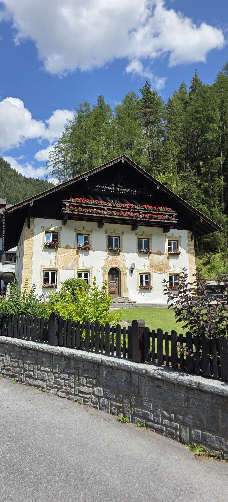
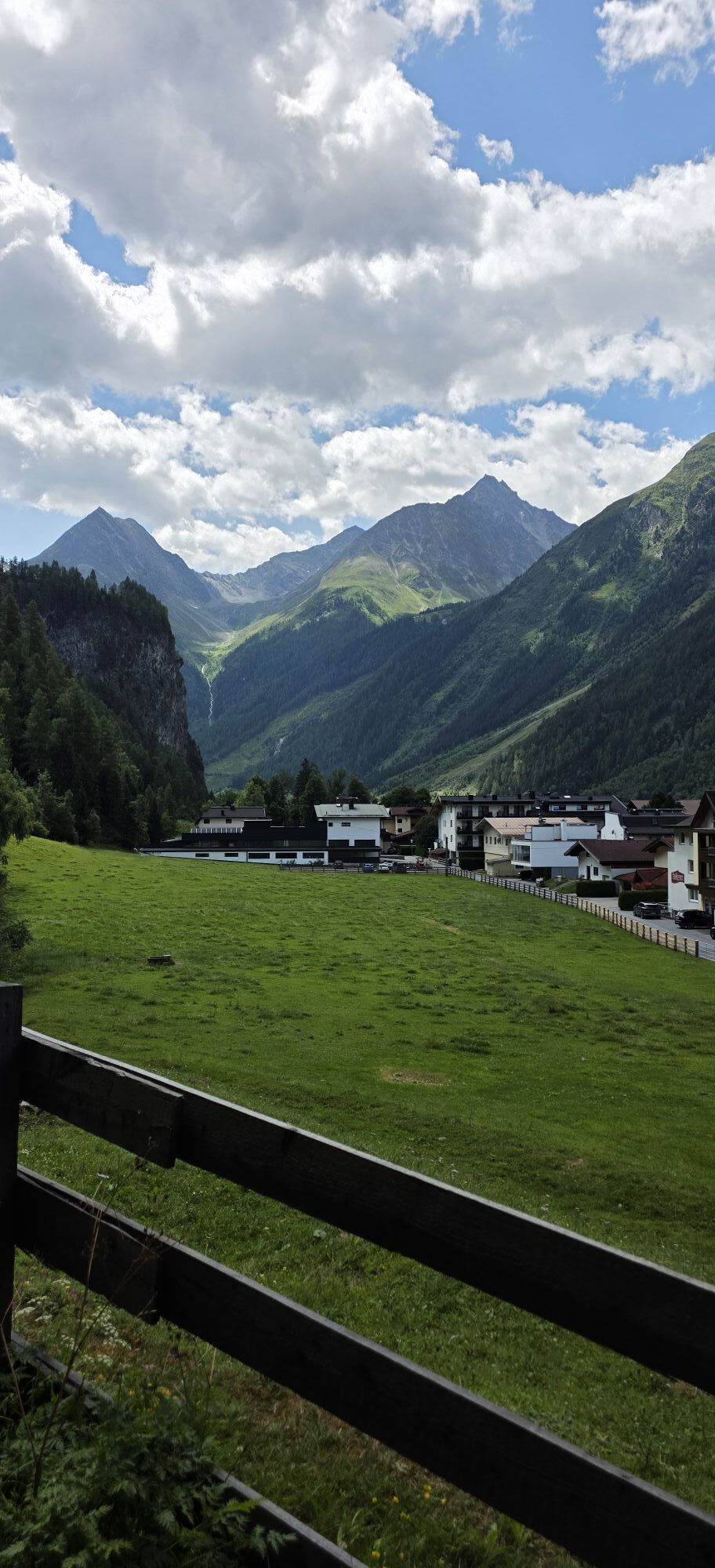
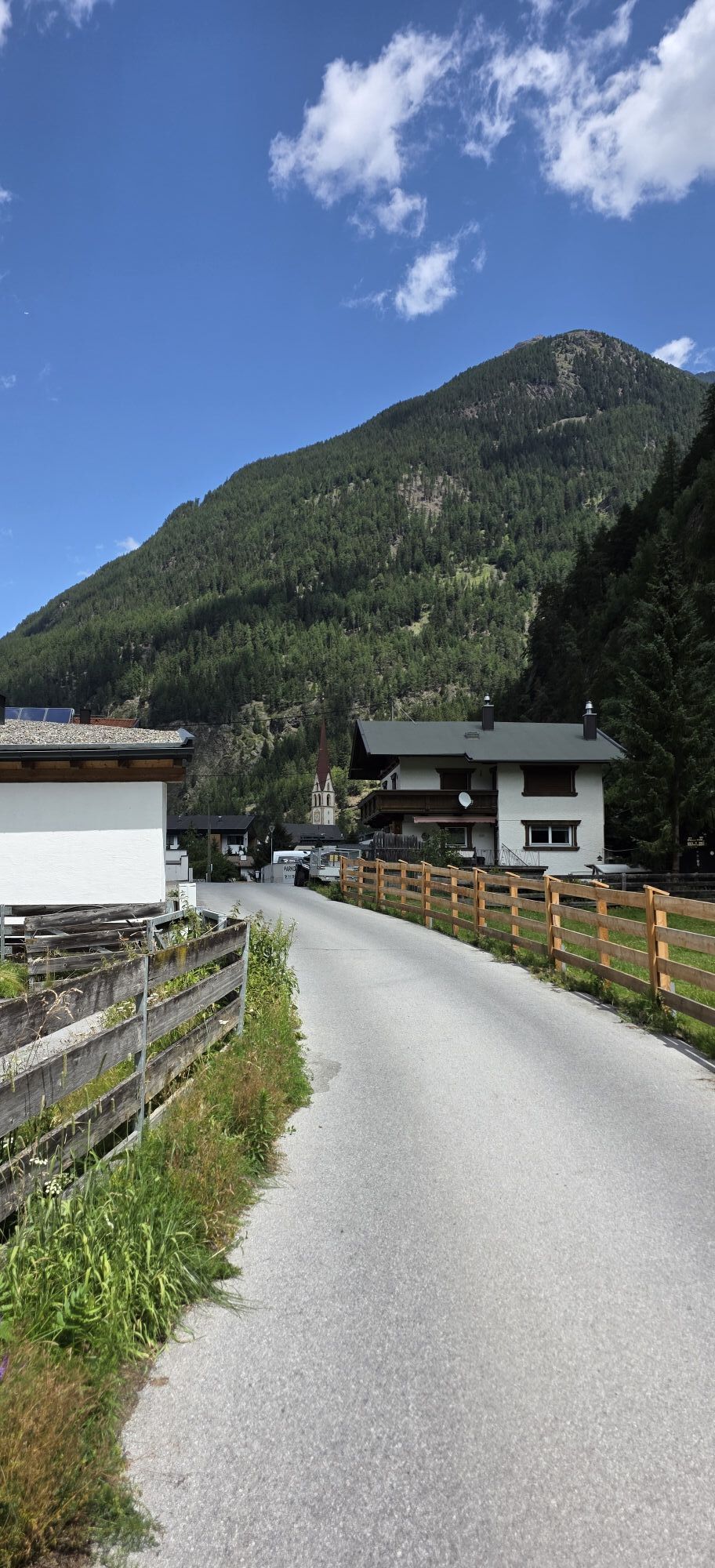
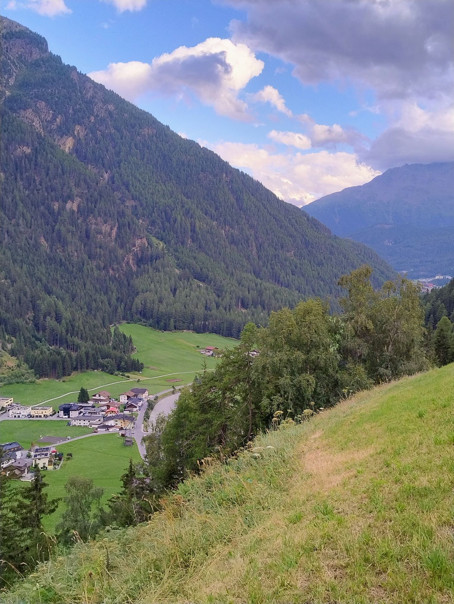
This route is especially suitable in spring; it is very flat and in the Längenfeld valley basin you can also complete several "training rounds" in the basic endurance area. The part through the Längenfeld...
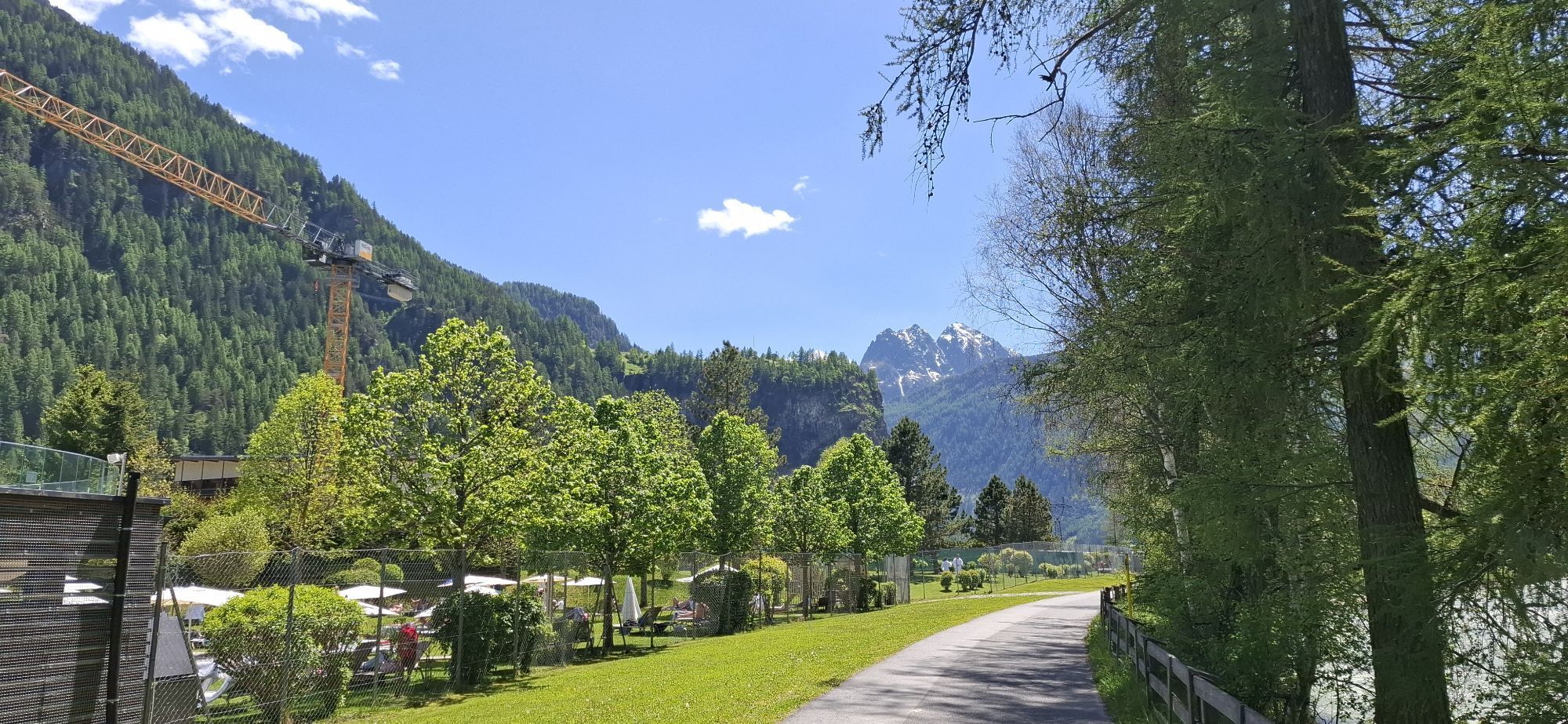
This route is especially suitable in spring; it is very flat and in the Längenfeld valley basin you can also complete several "training rounds" in the basic endurance area. The part through the Längenfeld districts is particularly pleasant to ride due to low traffic.

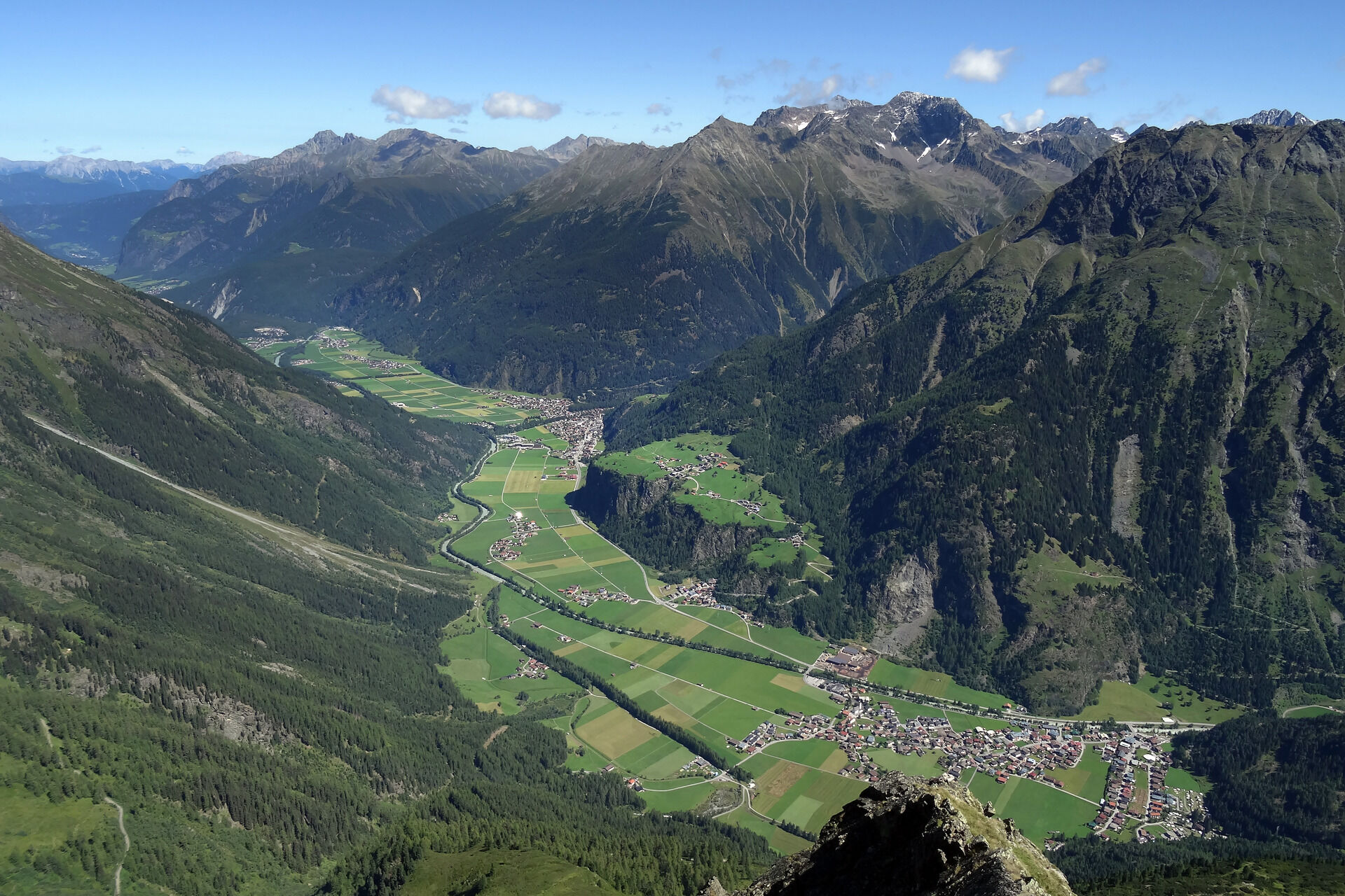
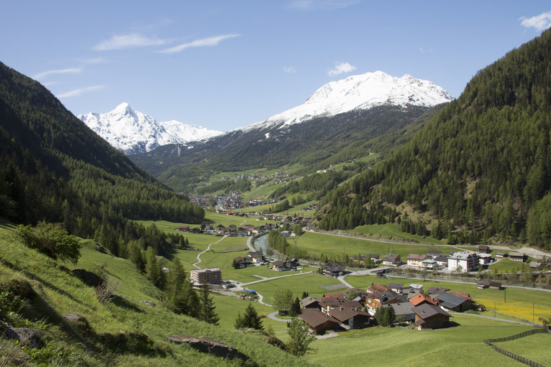
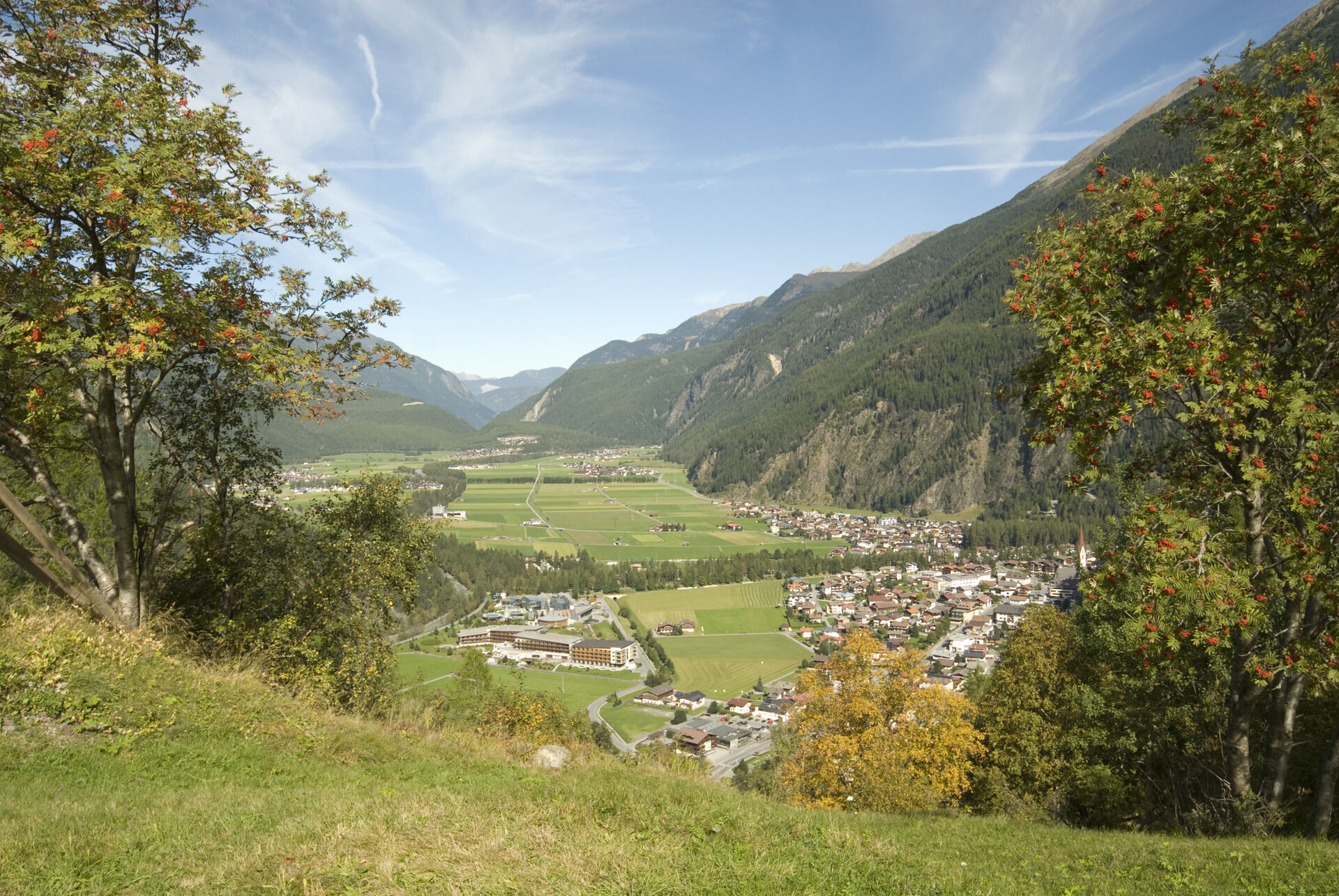

Easy warm-up from the Freizeit Arena on the main road downhill towards Längenfeld - Au. From Au over quiet side roads back uphill via Winklen and Oberried past the Aqua Dome to Huben and then via the main road back to Sölden. At the entrance to Sölden, the route goes through the districts of Kaisers and Rechenau on side roads back to the Freizeit Arena.
Áno
Personal equipment must be safe, functional, and meet the respective technical standards. Every road cyclist is recommended to inform themselves about the planned routes through specialist literature or locally. Full road cycling equipment is strongly recommended even for experienced riders!
Tip: For tunnels that are partially poorly lit, lighting is advisable.
The German traffic regulations (StVO) apply. Generally valid and usual behavioral rules.
It should be noted that there is an increased risk of accidents and injuries in road cycling. Despite careful route planning, a basic risk always remains. Route preparation through endurance sports, appropriate training and education, as well as personal prudence, reduces the risk of accidents and hazards.
WHERE IS SÖLDEN?
Sölden is located in western Austria in the state of TYROL, in a southern side valley of the Inn valley – the ÖTZTAL.
Arrival from the west:
from Vorarlberg to Tyrol via the Arlberg Pass or through the Arlberg tunnel (S 16) - Landeck - A 12 motorway towards Innsbruck - exit Ötztal after Roppener Tunnel - B 186 (35 km) to Sölden
from the north:
- Bad Tölz - Achen Pass - B 181 - Jenbach - A 12 Innsbruck towards Bregenz - exit Ötztal - B 186 (35 km) to Sölden
- Pfronten - Reutte - Fern Pass - Imst - A 12 towards Innsbruck - exit Ötztal after Roppener Tunnel or B 171 Tiroler Straße to Ötztal (toll-free) - B 186 (35 km) to Sölden
- Garmisch Partenkirchen - Ehrwald - Lermoos - Fern Pass - Imst - A 12 towards Innsbruck - exit Ötztal after Roppener Tunnel or B 171 Tiroler Straße to Ötztal (toll-free) - B 186 (35 km) to Sölden
- Garmisch Partenkirchen - Mittenwald - Scharnitz - Seefeld in Tirol - Telfs - A 12 towards Bregenz - exit Ötztal or B 171 Tiroler Straße to Ötztal (toll-free) - B186 (35 km) to Sölden
from the east:
from Munich or Salzburg on the A 93 to Kufstein, then on the A 12 towards Bregenz, via Innsbruck to exit Ötztal, then continue on B 186 (35 km) to Sölden
from the south:
coming from Bolzano towards Brenner (toll road) - Brenner motorway via Schönberg toll station towards Innsbruck - from Innsbruck on A 12 towards Bregenz to Ötztal exit - continue on B 186 (35 km) to Sölden
Arrival by train
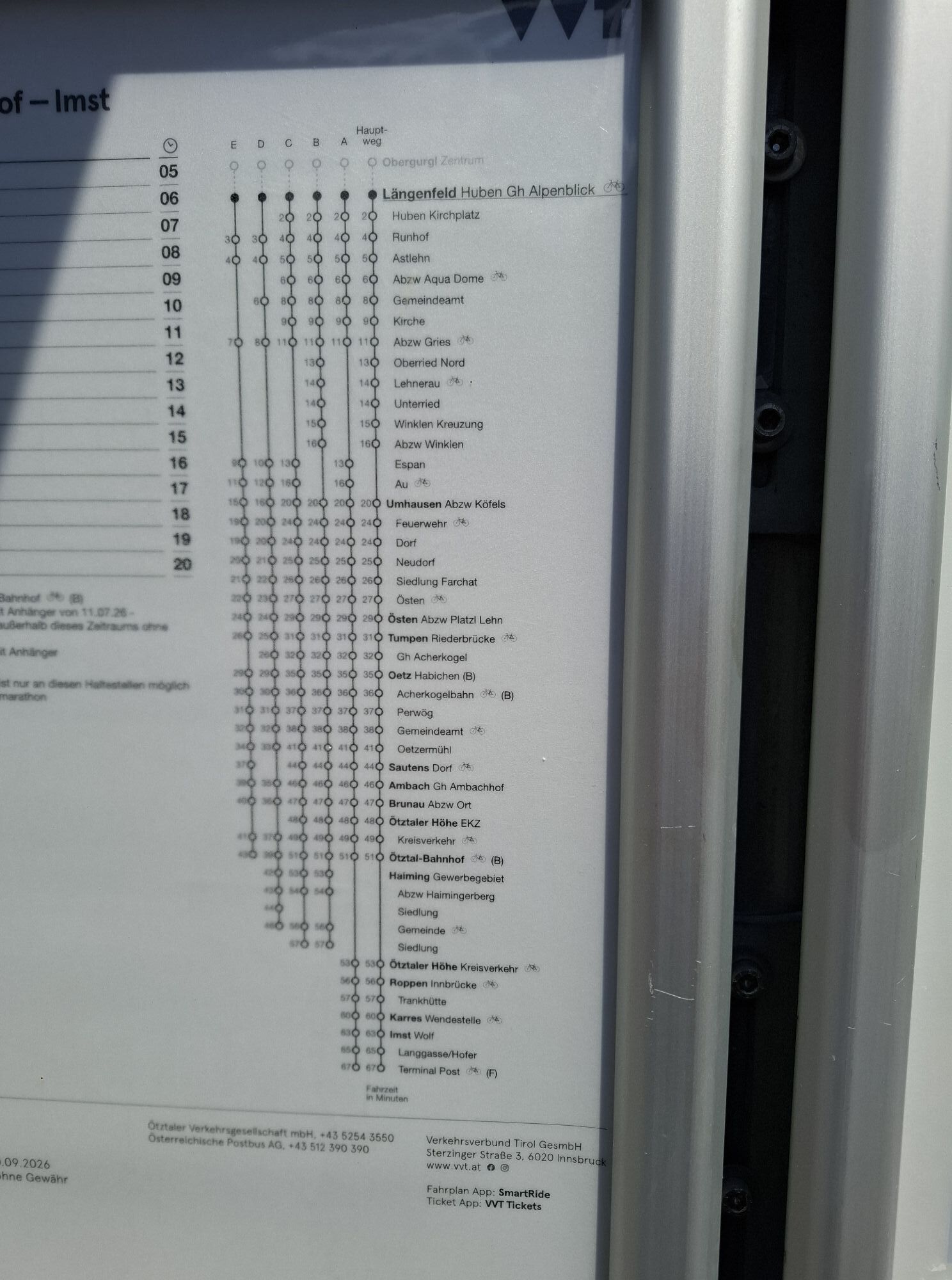
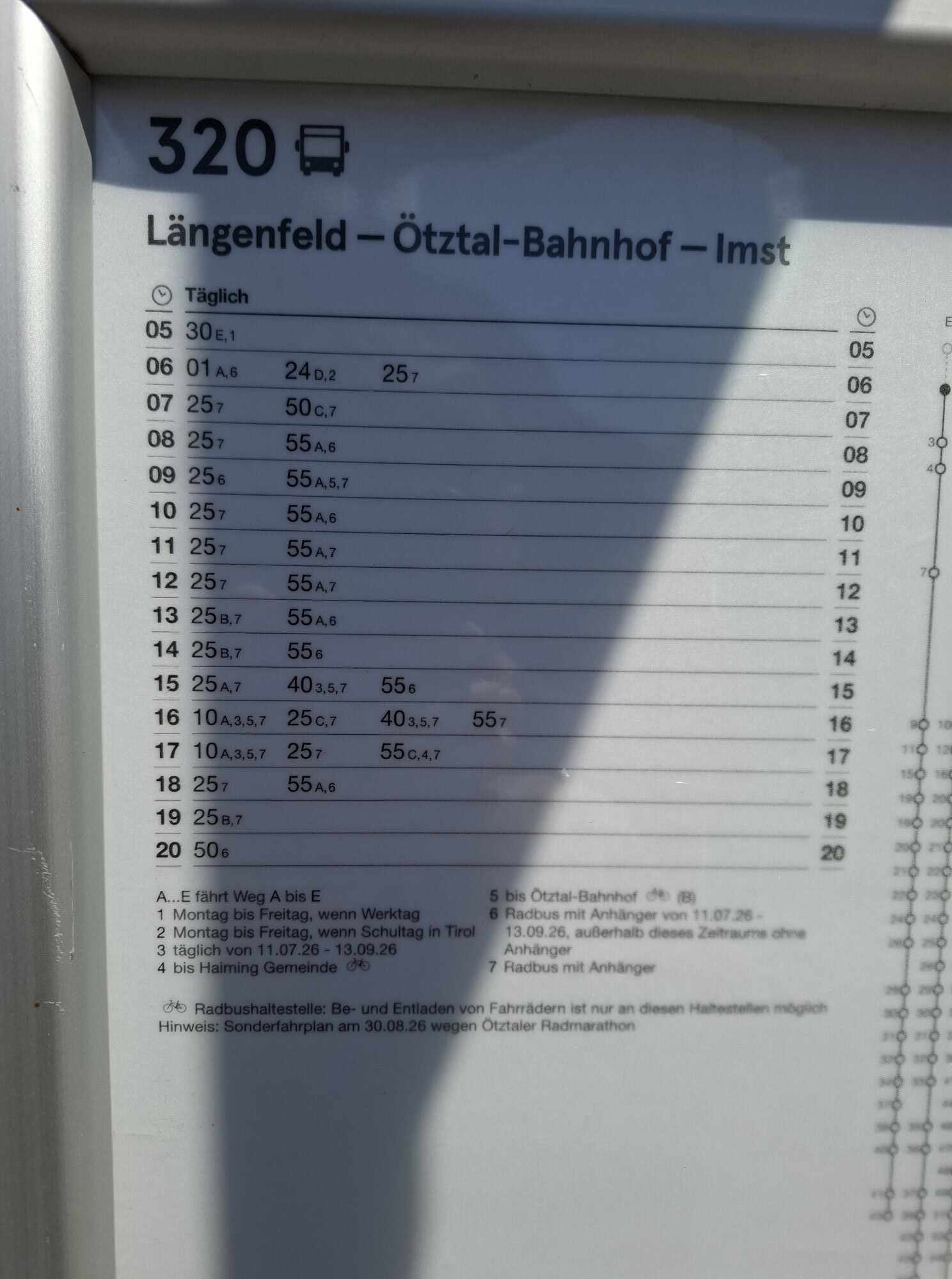
Travel comfortably and safely by train to the Ötztal train station. A local bus towards Obergurgl departs directly from the station forecourt. The bus ride to Sölden takes about 1 - 1.5 hours.
All important information about bus schedules, connections, and taxi companies can be found here.
At the valley stations of the Gaislachkoglbahn and Giggijochbahn, sufficient free parking spaces are available, and free parking garages are also provided. Parking is free from 8:00 a.m. to 7:00 p.m.
Paid overnight car parking is possible in the Gaislachkogl parking garage:
more information about overnight parking
2
Webové kamery z prehliadky
-
Niederthai im Ötztal
-
Seekogel
-
Gaislachkogel
-
Niederthai - Alpin Appart
-
Sölden - Hochsölden
-
Sölden - Grünwald Resort
-
Therme Längenfeld
-
Sölden - Grünwald Resort
-
Giggijoch
-
Giggijoch
-
Längenfeld - Ortsblick
-
Gries - Längenfeld
-
Umhausen - der Veitenhof
-
Stuibenfall
-
Stuibenfall
-
Stuibenfall
-
Stuibenfall
-
Stuibenfall
-
Sölden - Gaislachkogelbahn Mittelstation
-
Sölden - Schwarzkogl Talstation
-
Hochstubaihütte
-
Hochstubaihütte
-
Sölden Ort
-
The Peak Sölden**** Chalets und Appartements
-
Umhausen / Hotel Tauferberg
-
Umhausen / Hotel Tauferberg
-
Umhausen / Hotel Tauferberg
-
Umhausen / Hotel Tauferberg
-
Niederthai - Delano
-
Niederthai - Delano
-
Umhausen / Hotel Tauferberg


Obľúbené výlety v okolí
-
4,7
Winnebachsee Hut – Längenfeld/Gries
strednáTuristika 4,74 km -
4,7
Winter circular route Brandalm/Burgstein - Längenfeld 204
strednáZimná turistika 5,44 km -
4,4
Hike Stuibenfall - Umhausen
svetloTuristika 2,95 km -
4,3
Stuibenfall Umhausen circular hike
svetloTuristika 9,32 km -
4,5
Oetz - Piburger See - Oetz
strednáTuristika 7,16 km -
4,5
KÜHTAI: Kühtai (2020) - Sulzkogel (3016) - Mute (2398)
strednáVysoké turné 15 km -
4,4
Rundwanderung Hängebrück3
svetloTuristika 6,32 km -
4,4
Hohe Geige über Gawinden und den Westgrat
ťažkéTuristika 14,3 km -
4,3
Lampsenspitze, Sellrain, Tirol
strednáSkitour 4,97 km -
4,3
Umhausen - Stuibenfall - Umhausen
strednáTuristika 7,94 km
Turistika a stopovanie


Nenechajte si ujsť ponuky a inšpiráciu na ďalšiu dovolenku
Vaša e-mailová adresa bol pridaný do poštového zoznamu.





