






Road Cycling Route - Sölden - Timmelsjoch
Úroveň náročnosti: 4
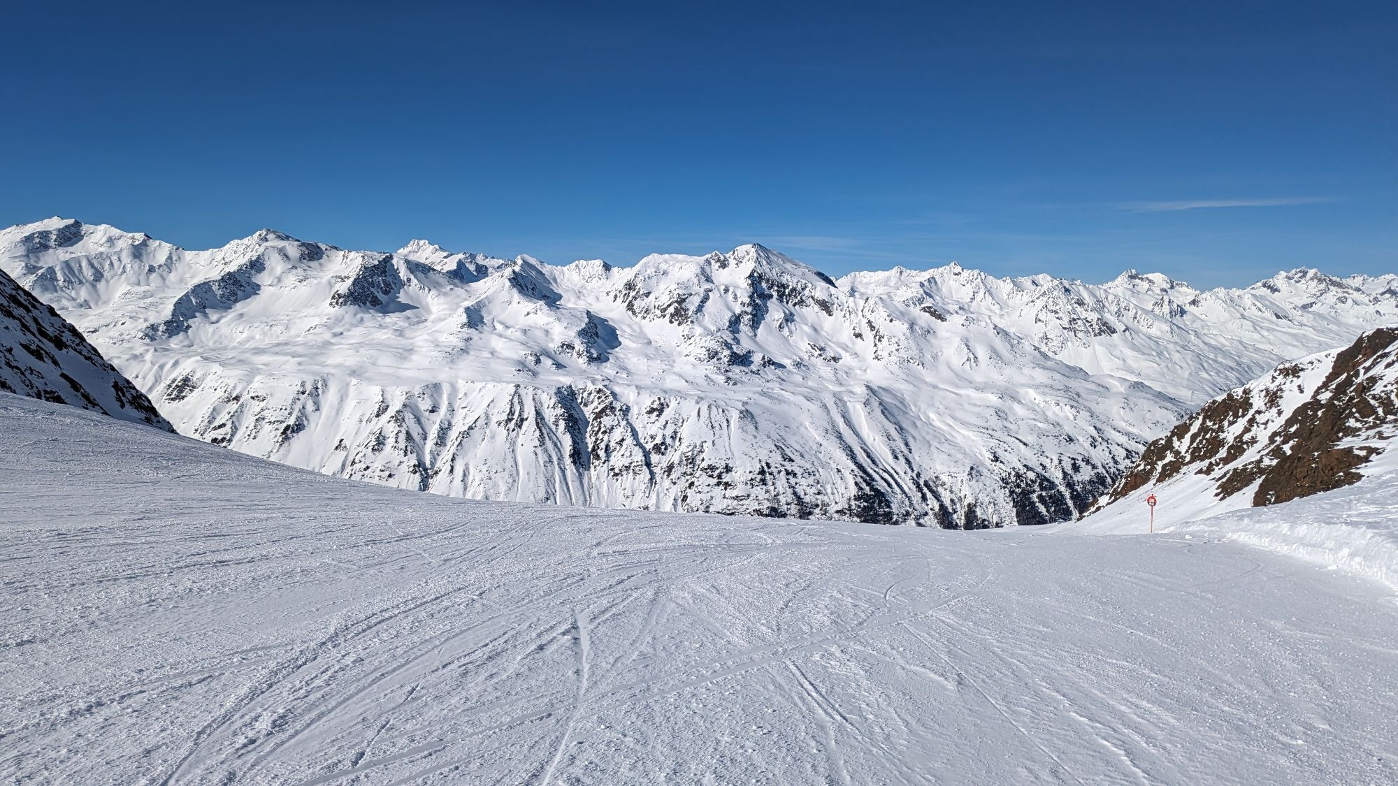
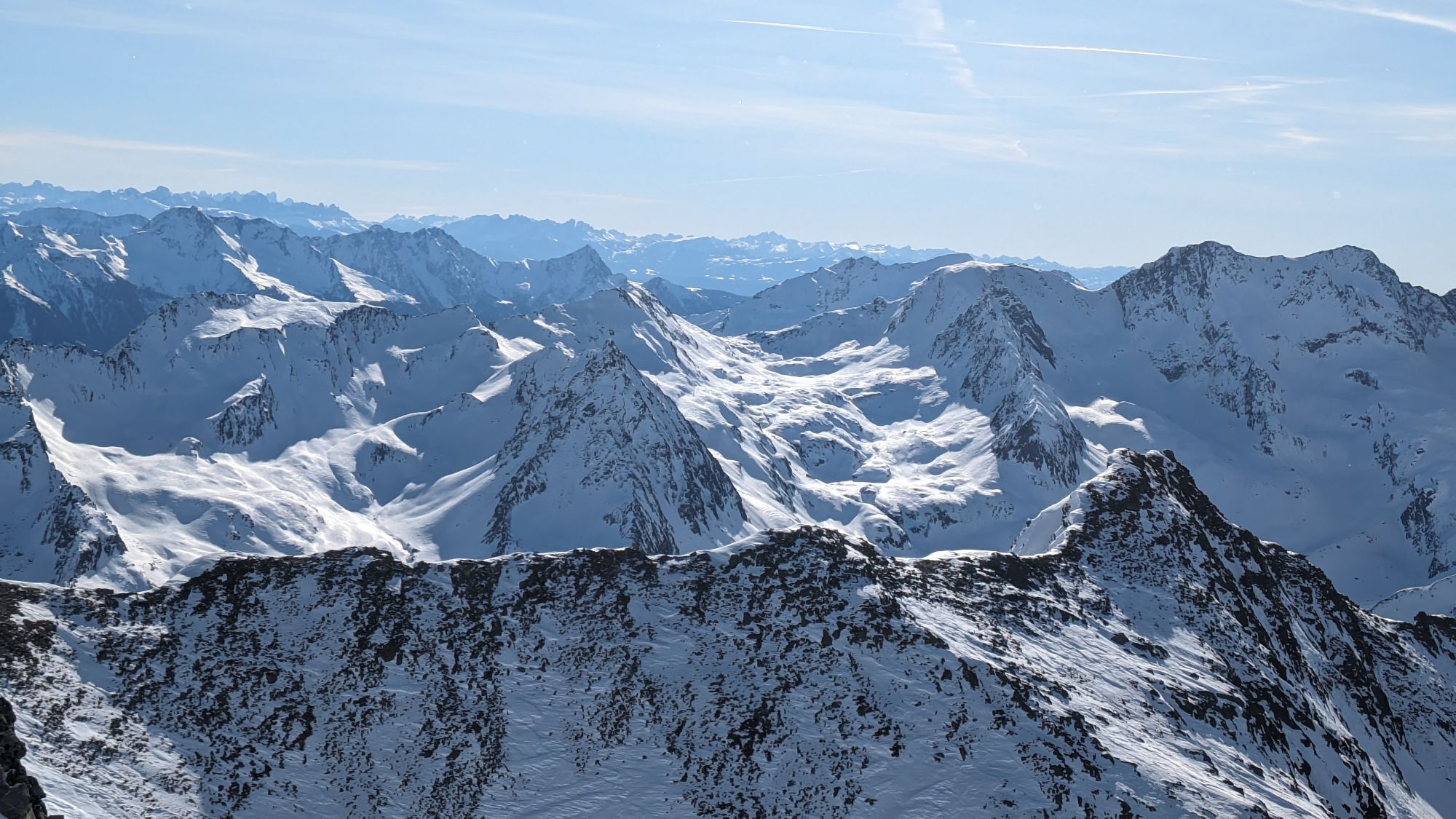
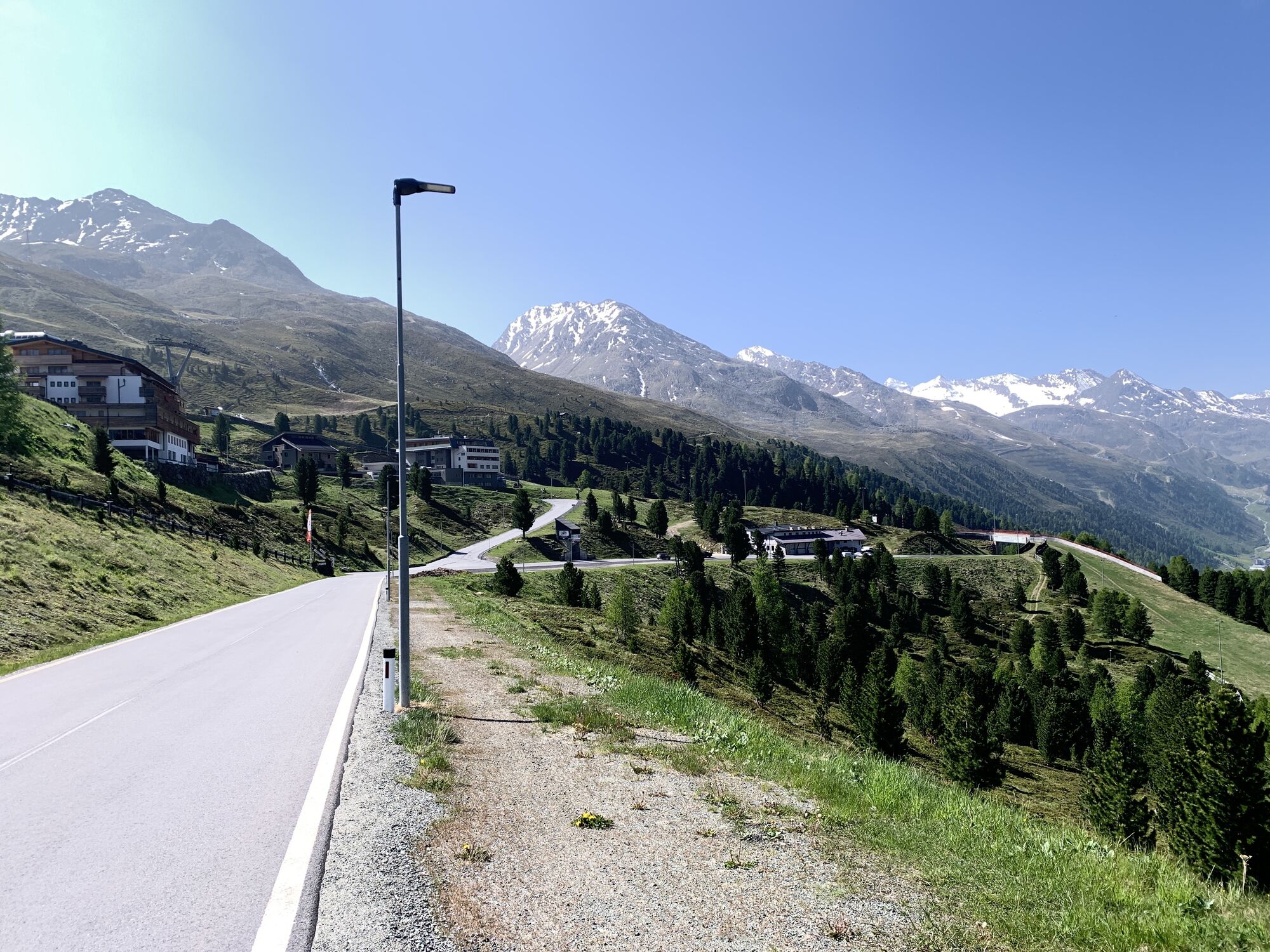
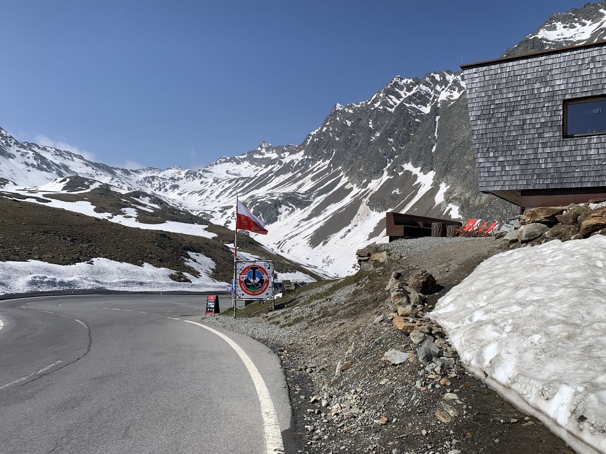
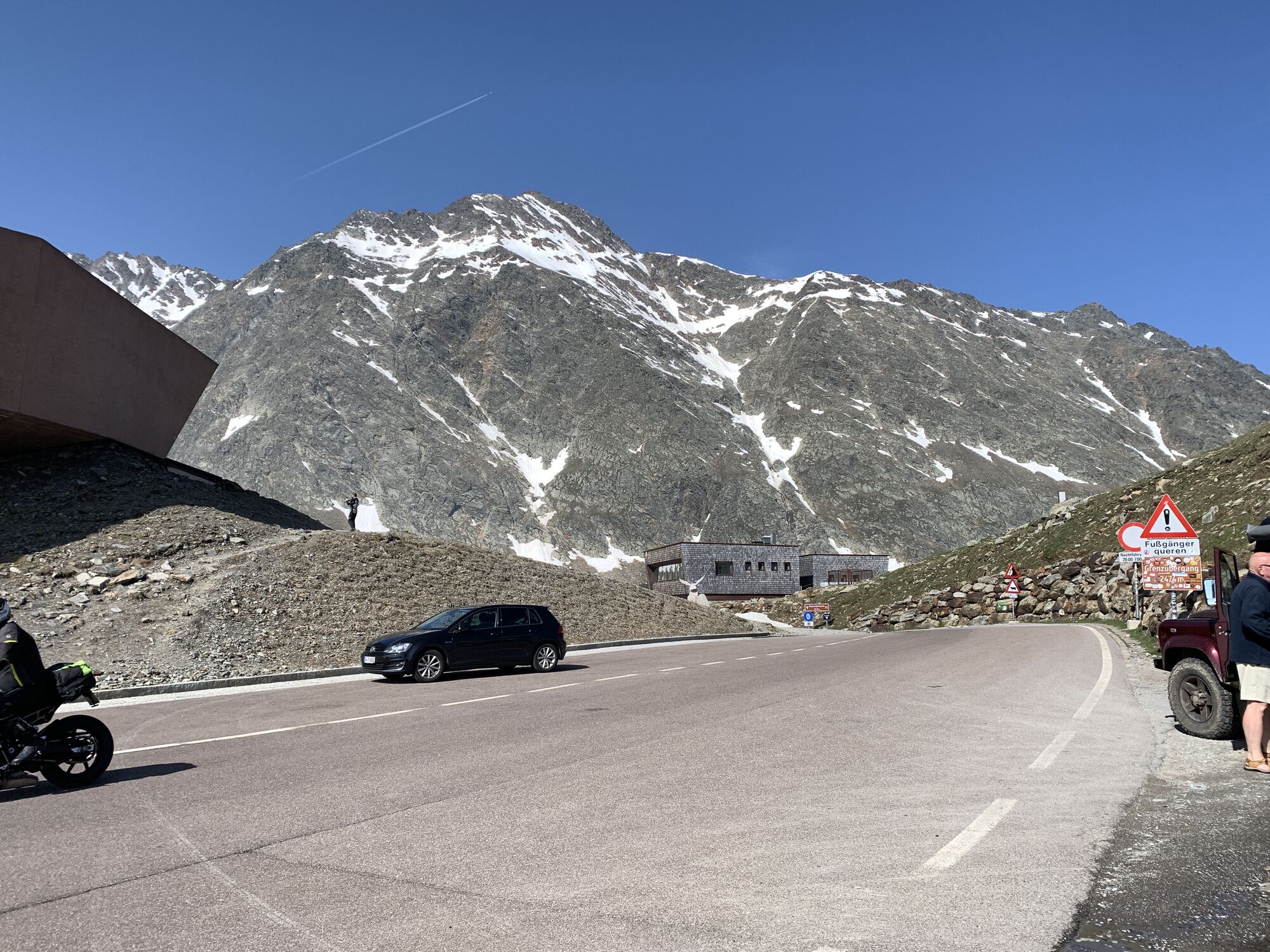
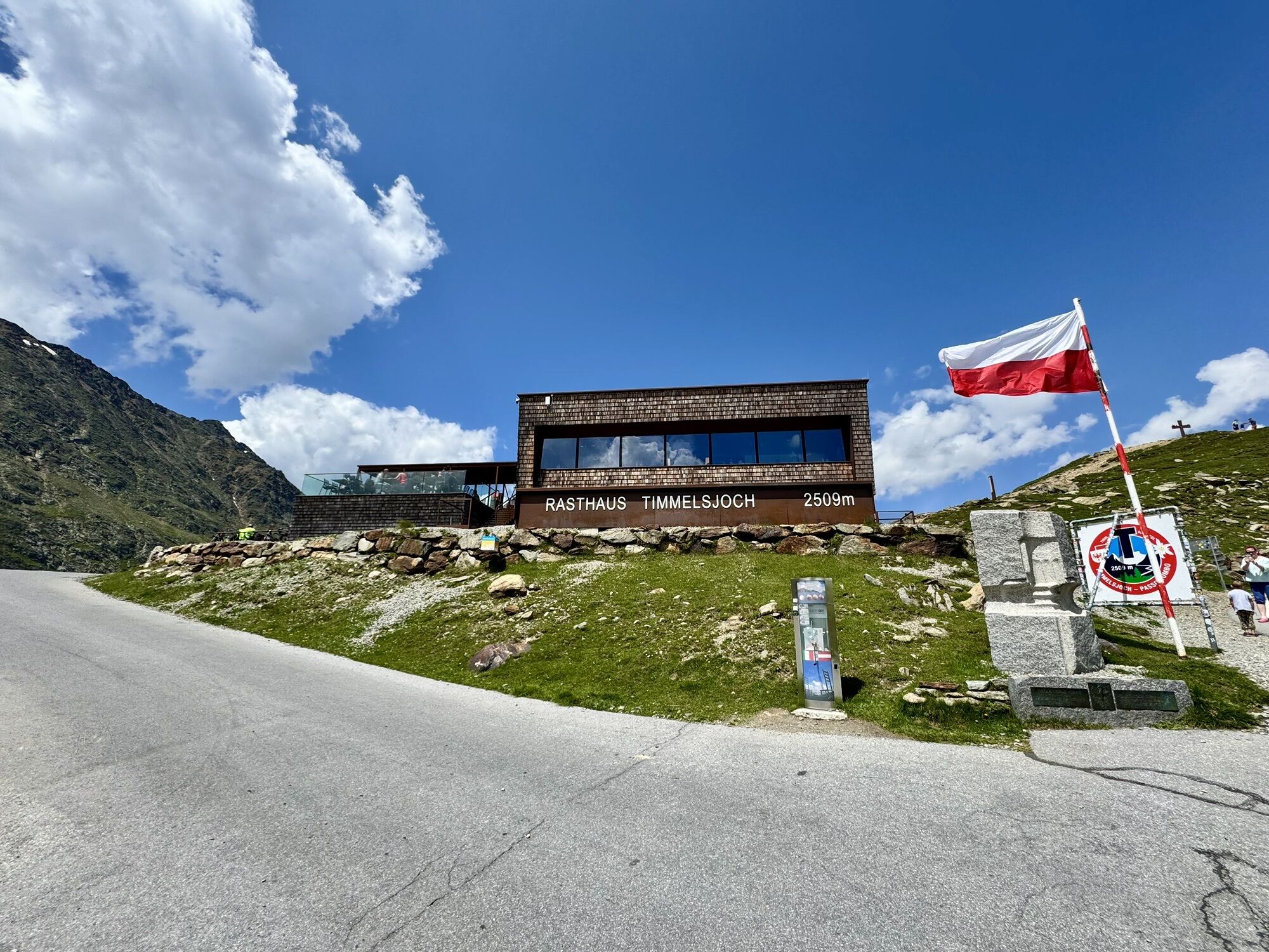
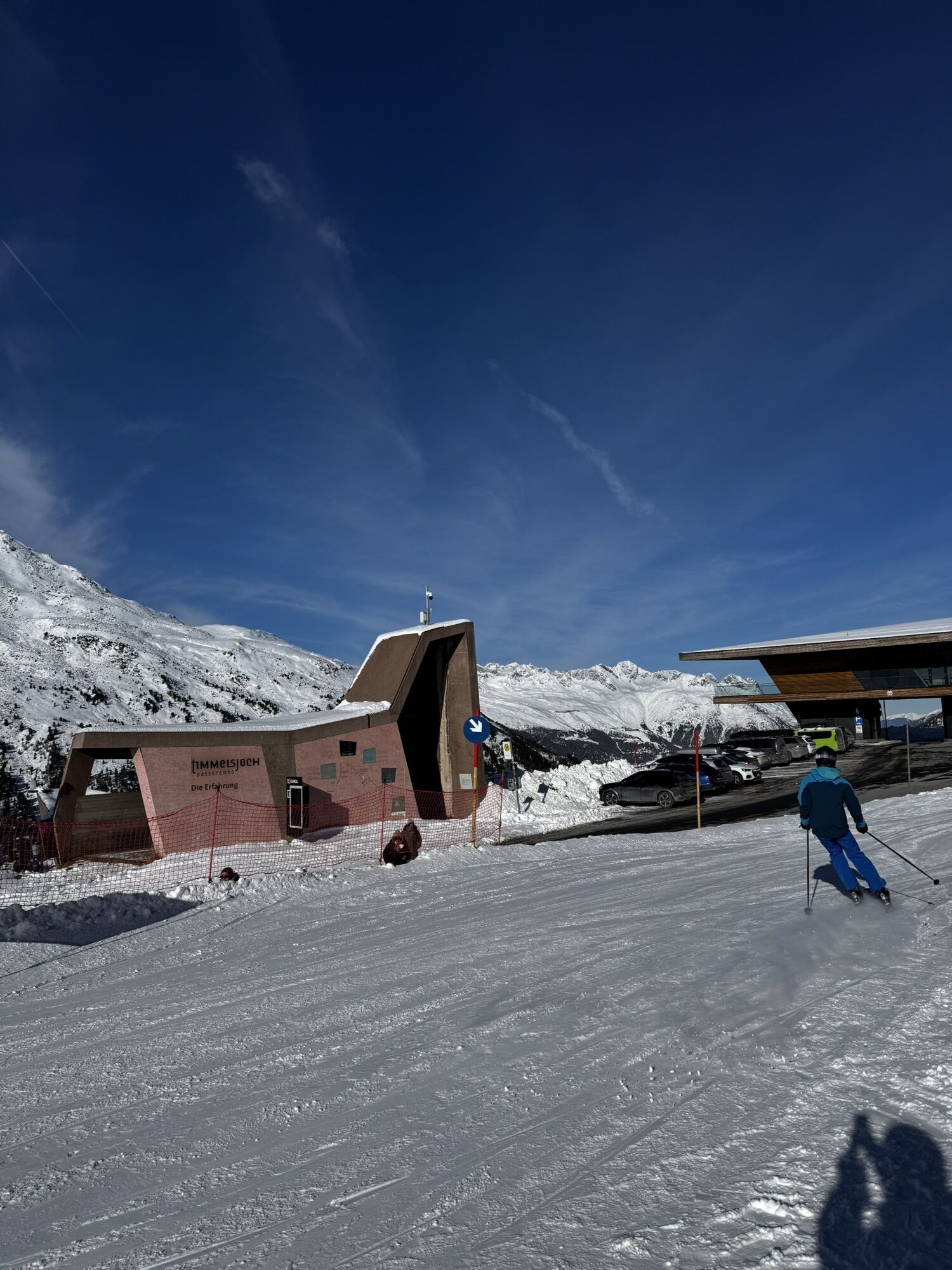
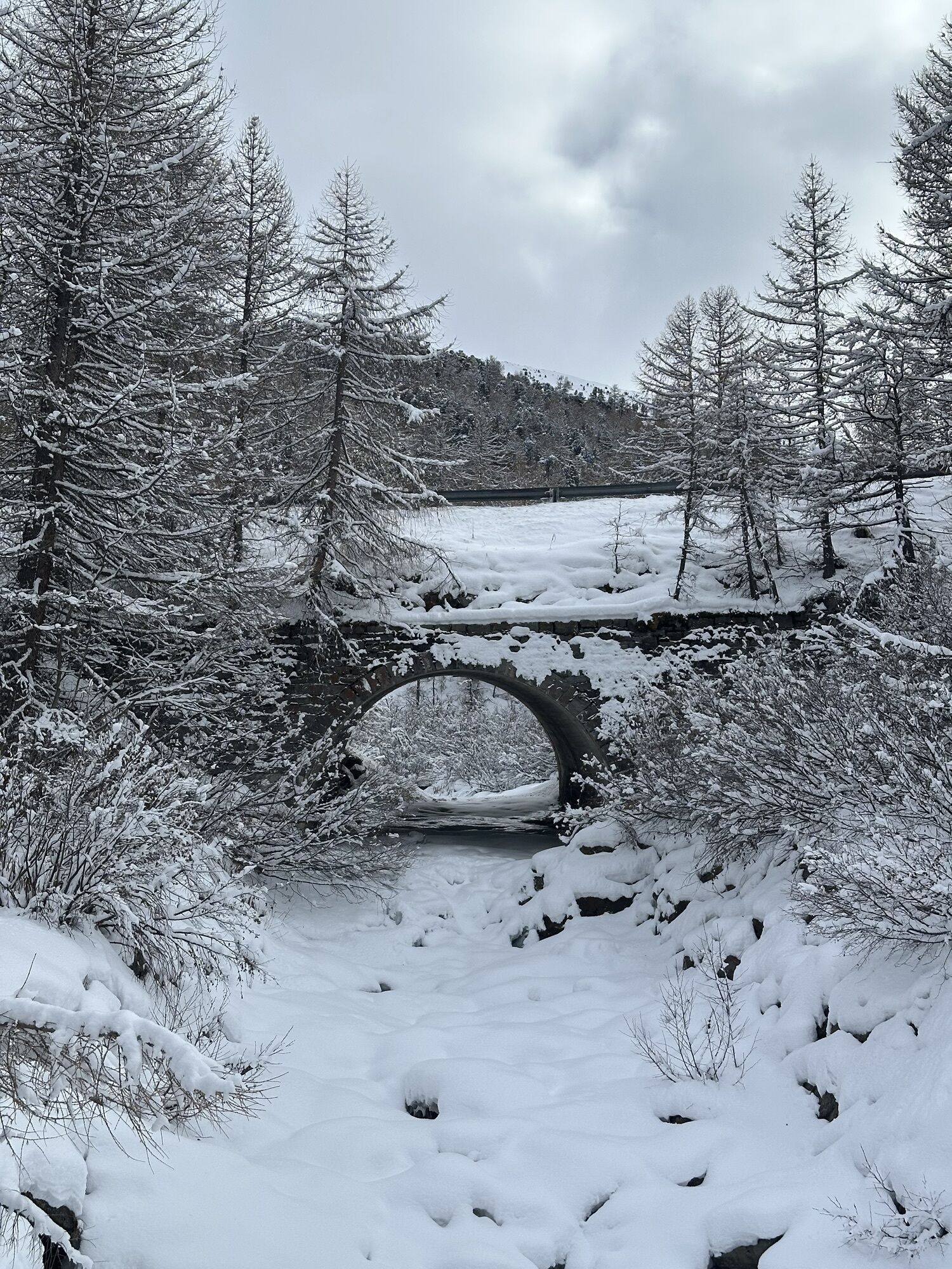
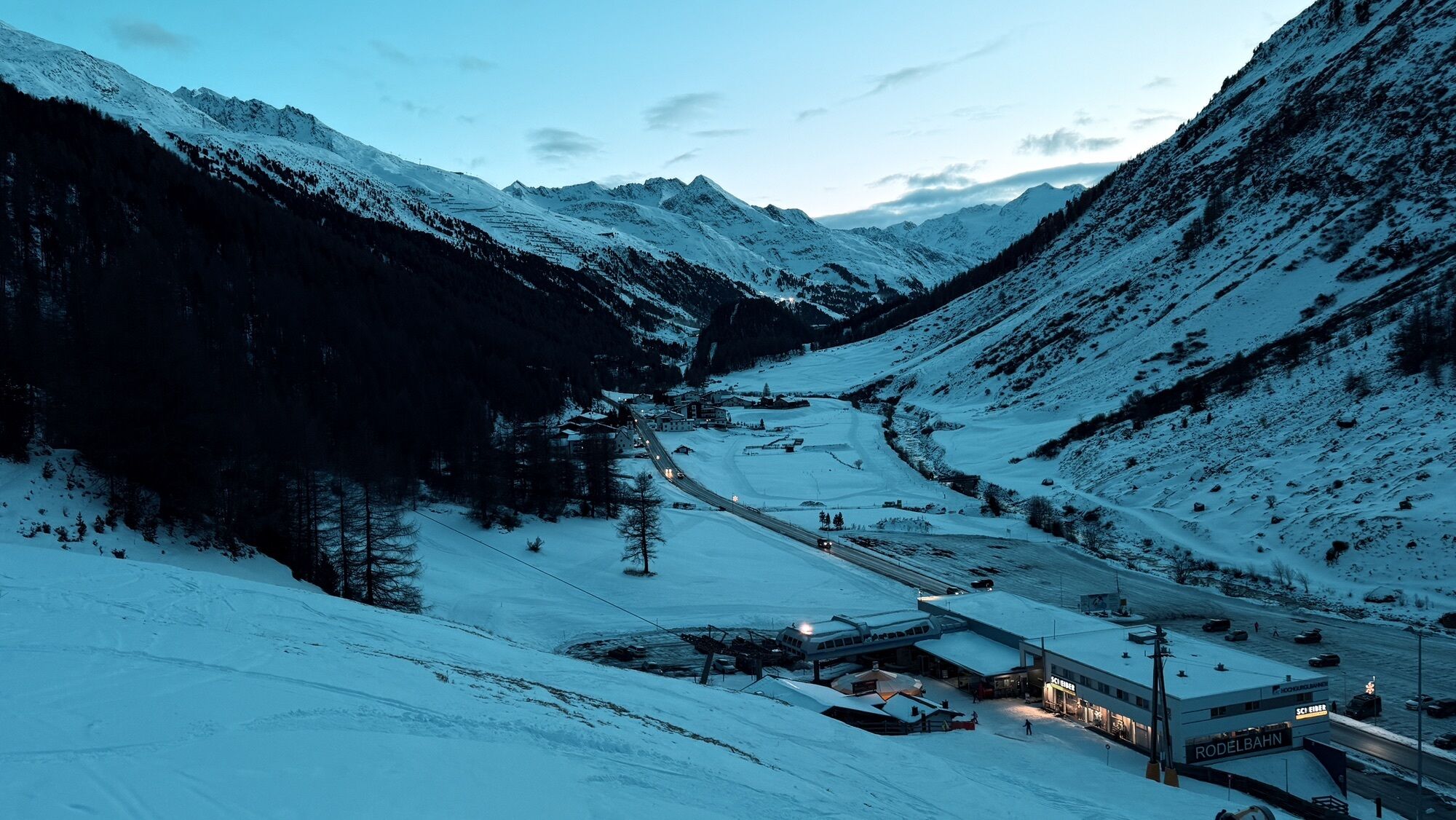
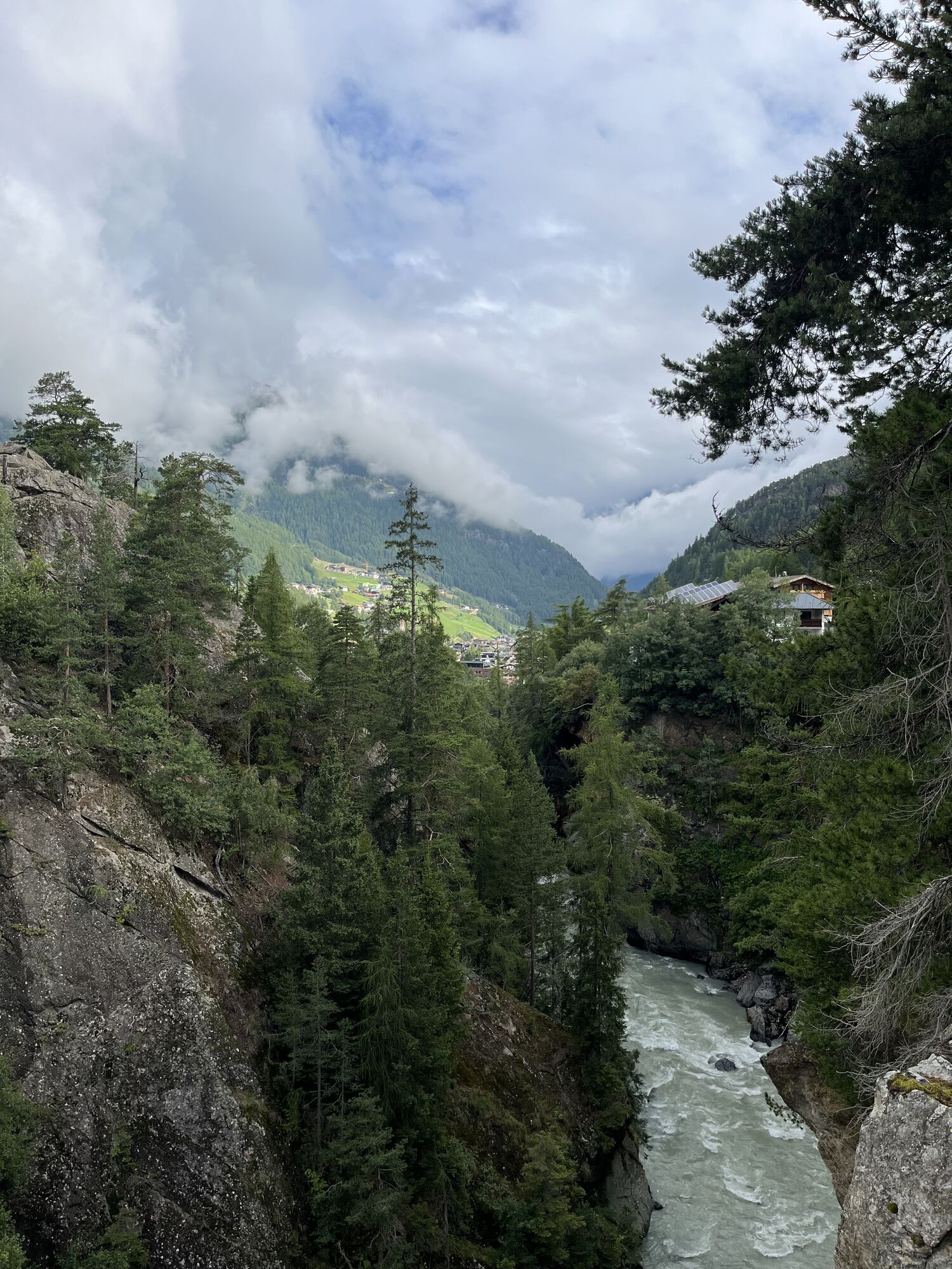
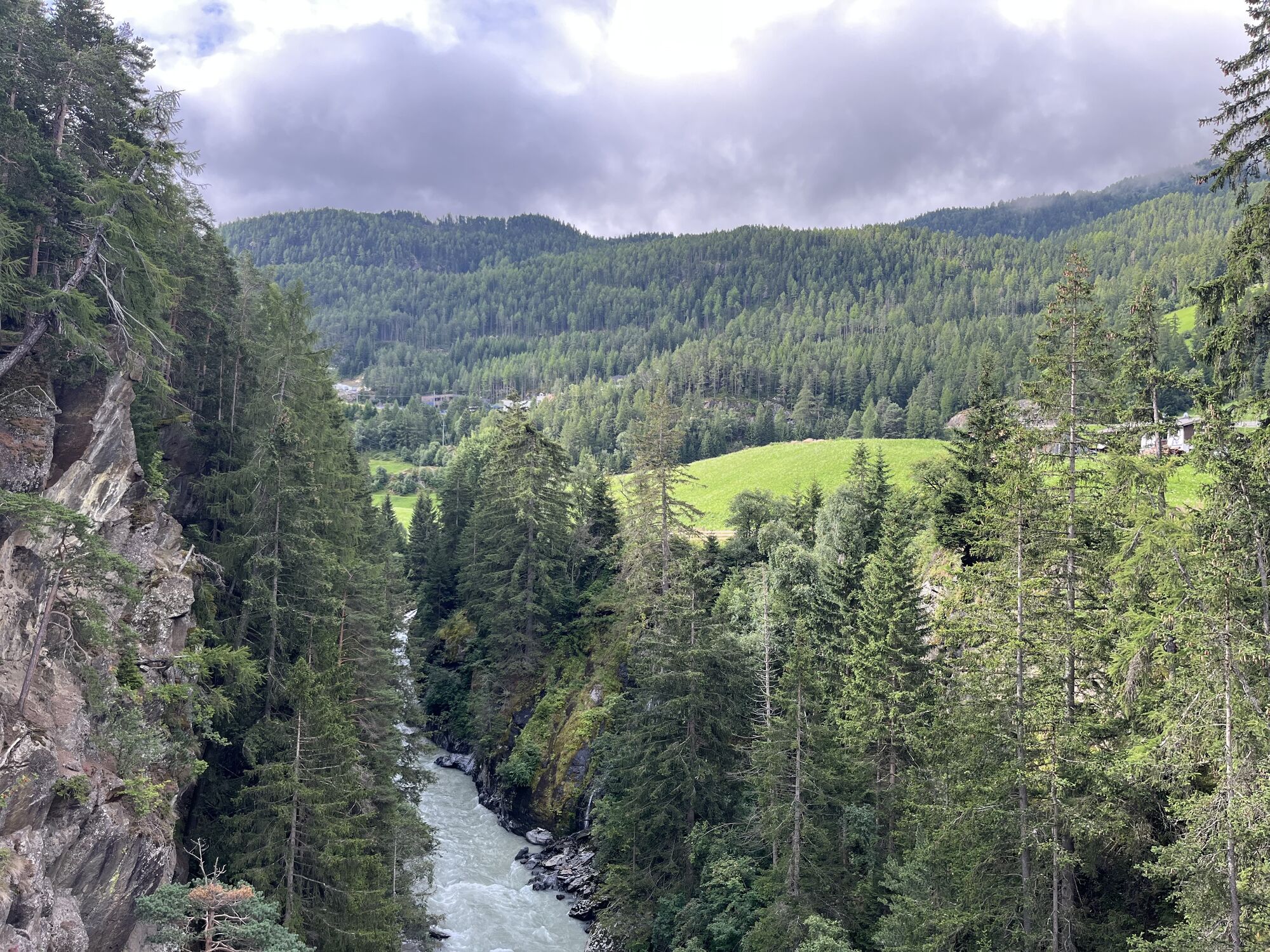
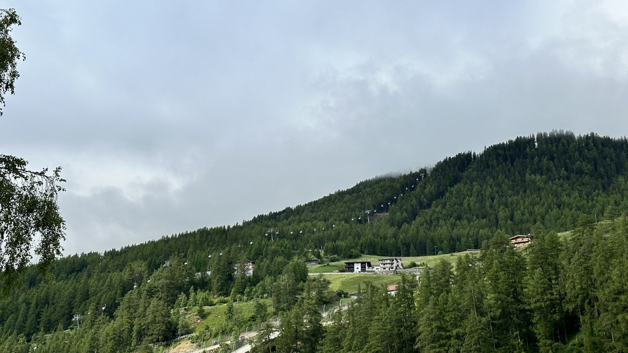
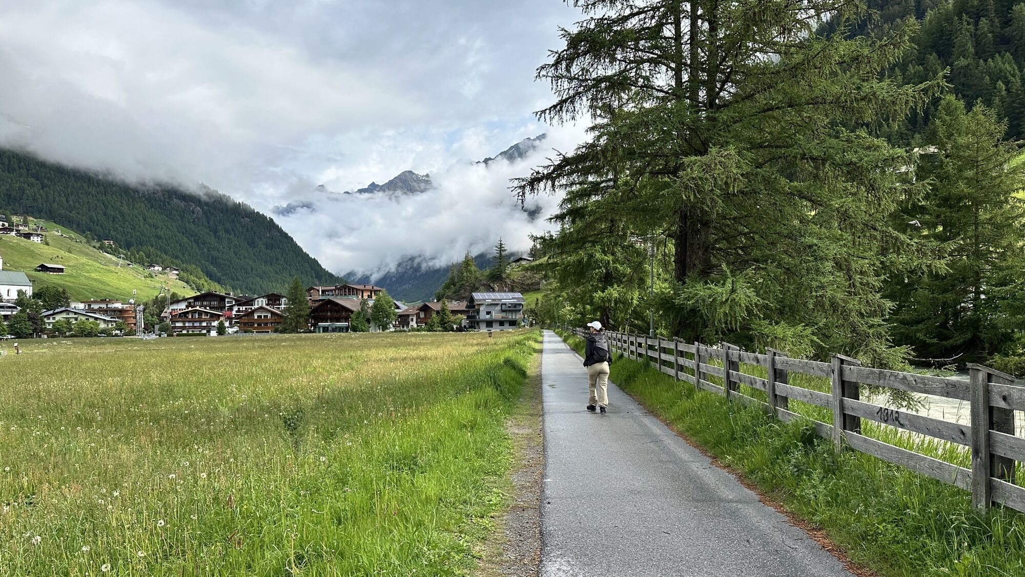
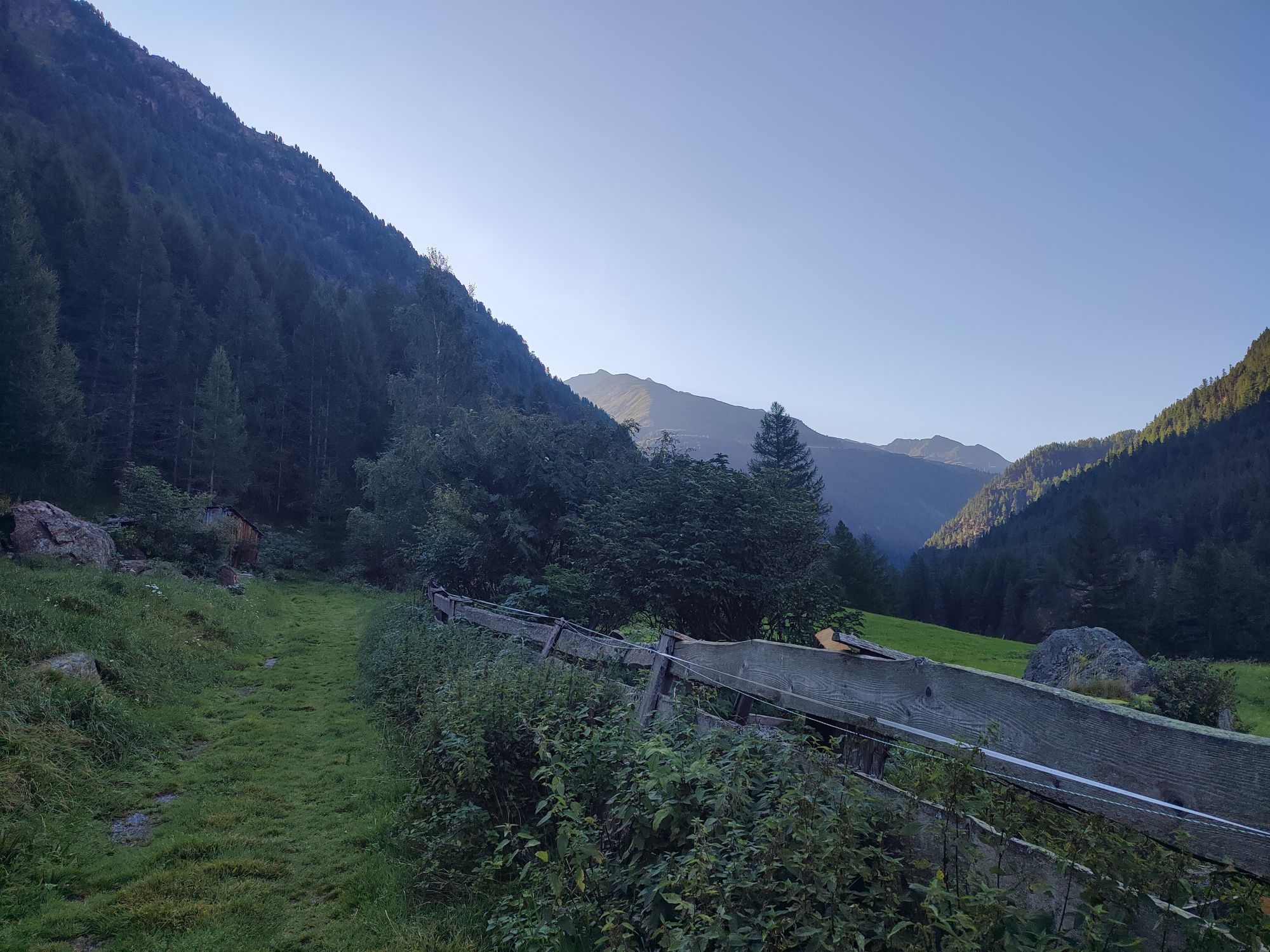
The northern approach to Timmelsjoch is quite varied – initially still characterized by green vegetation, higher up riders encounter a barren rocky landscape with scree heaps from which the name Timmel...
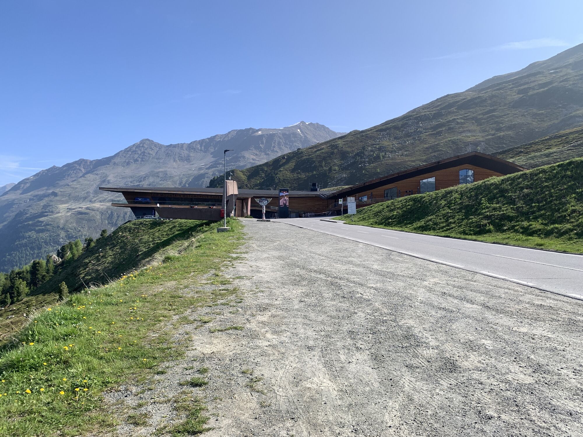
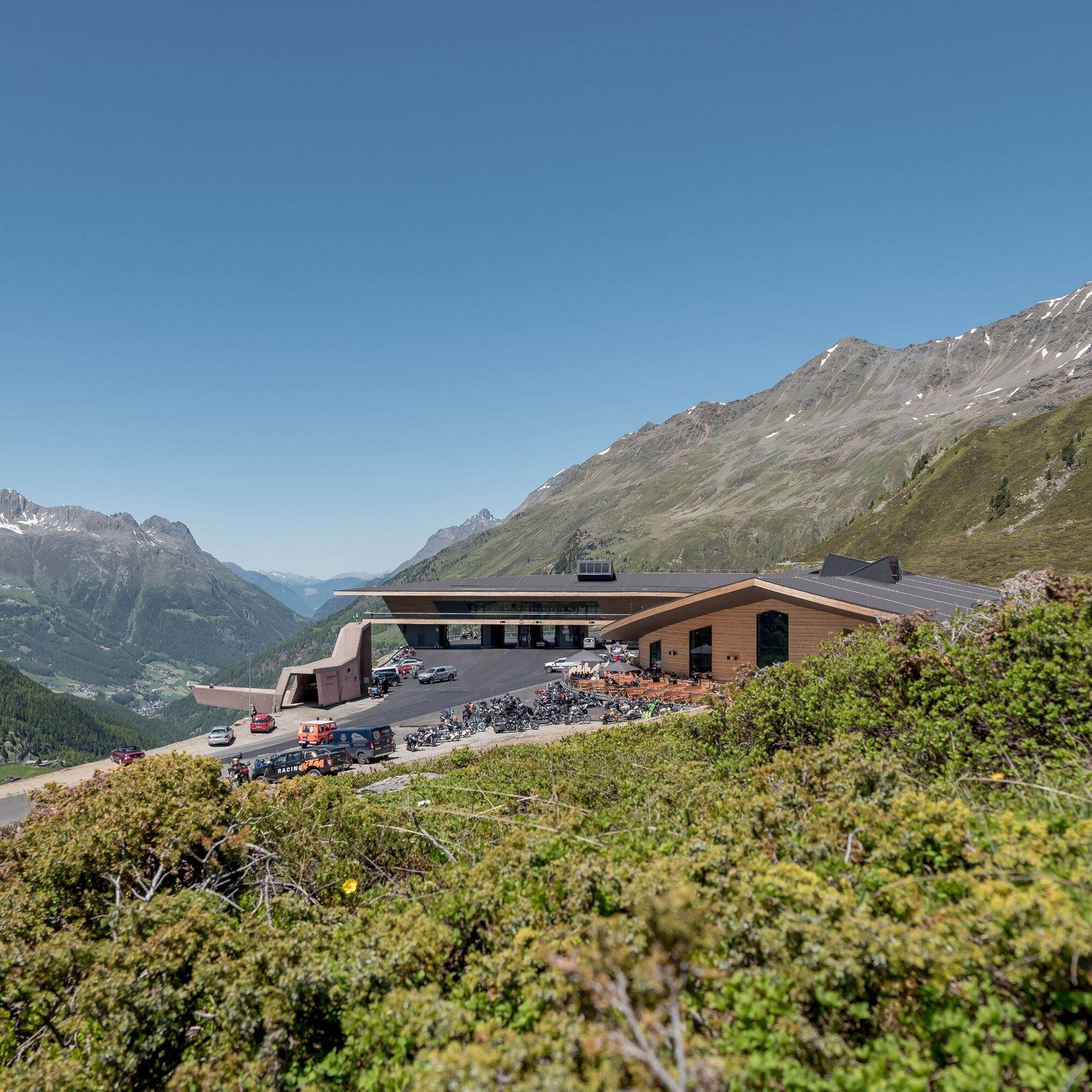
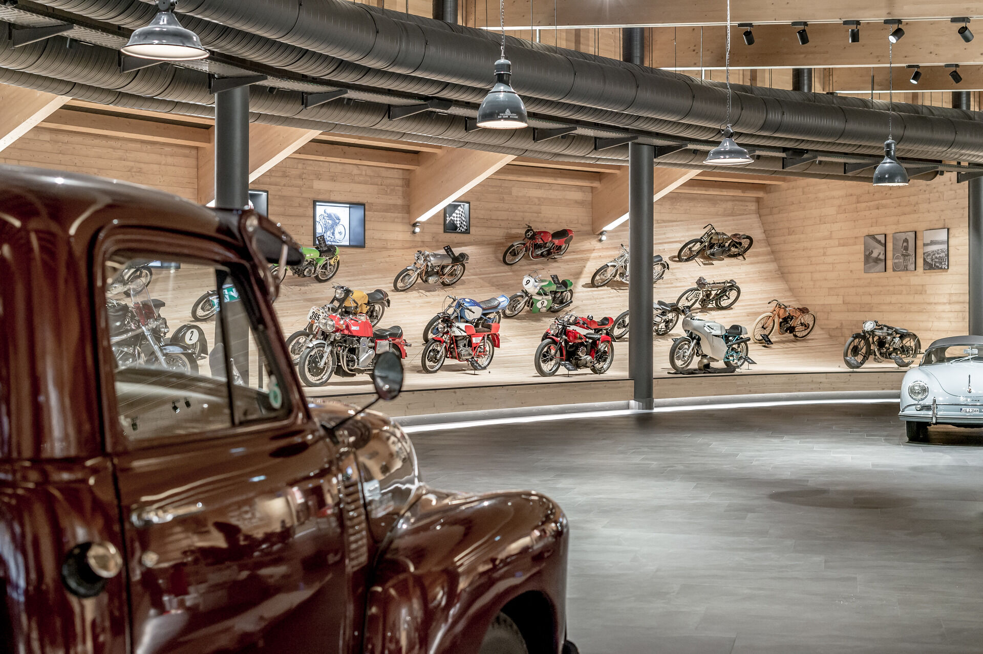
The northern approach to Timmelsjoch is quite varied – initially still characterized by green vegetation, higher up riders encounter a barren rocky landscape with scree heaps from which the name Timmel originates. Above the tree line and shortly after Hochgurgl at 2,100 meters lies the toll station with Europe’s highest motorcycle museum. The exhibited items (about 230 motorcycles) are a must-see, even for non-motorcyclists. The onward ride for cyclists is free with a separate lane.
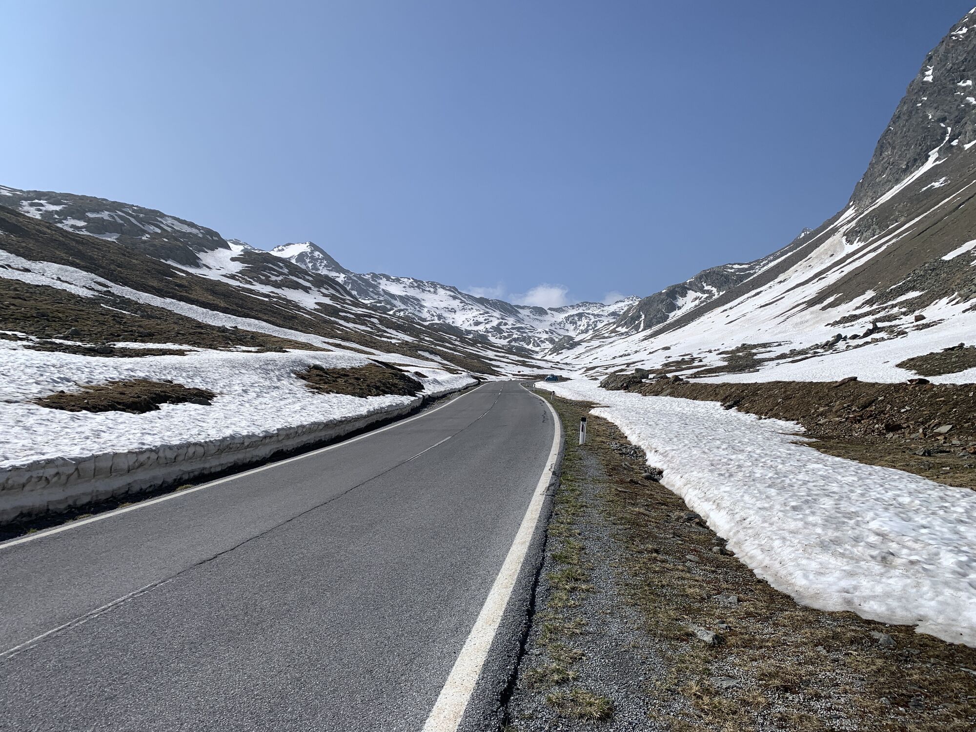
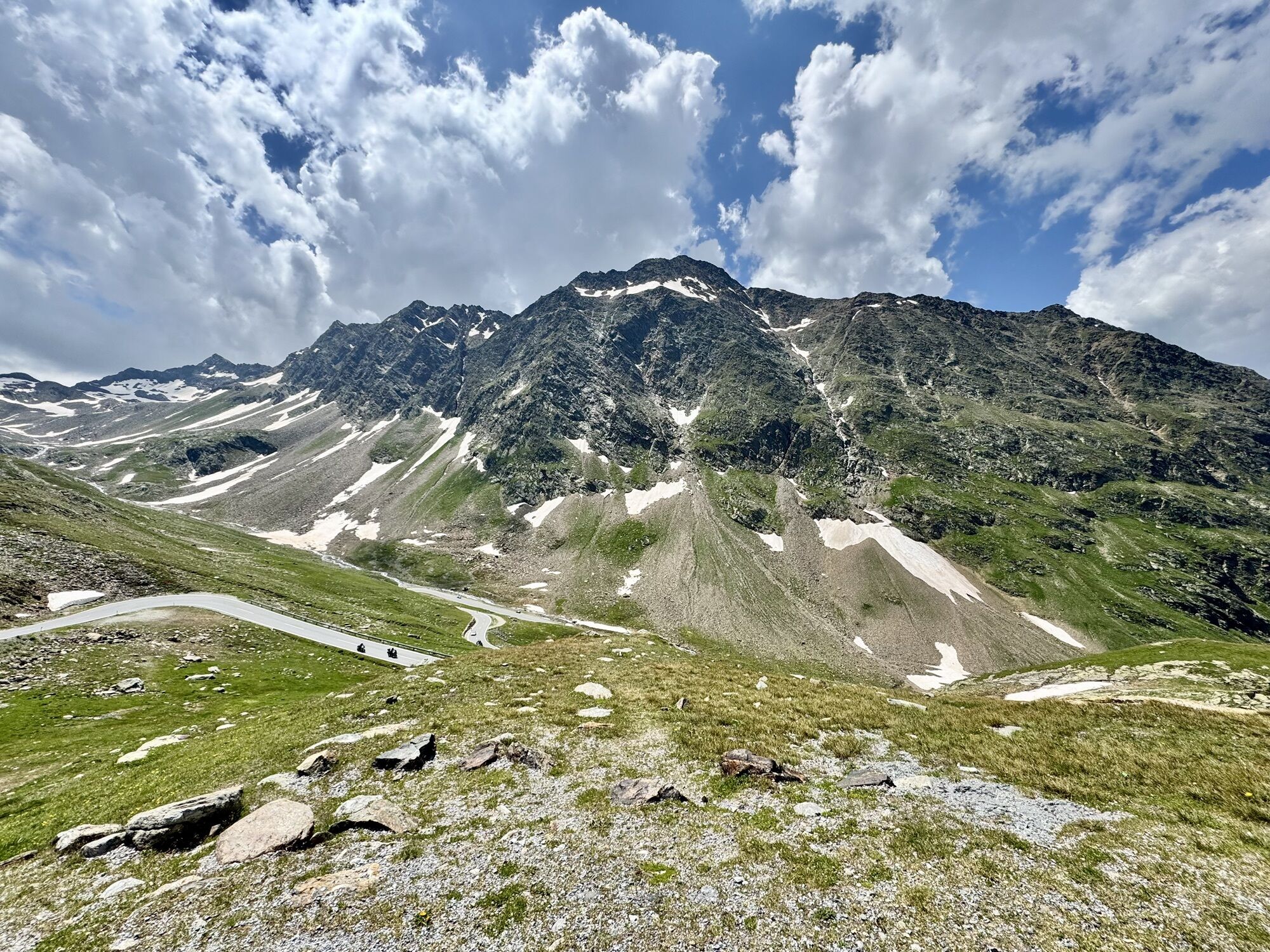
A short descent follows, which can be used as a rest pause. Here you already get a view of the long ramp through the Timmel valley before the climb steepens again to the pass height at 2,474 m.
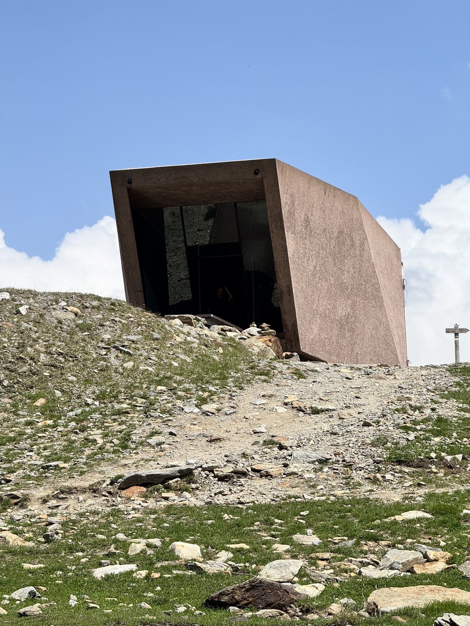
Along the Timmelsjoch High Alpine Road there is much to discover. Highlights here include the "Steg" at the toll station, the "Smuggler" in the Timmel valley, and the "Pass museum" at the pass height. You can learn more about the history of the Timmelsjoch High Alpine Road and the Ötztal Nature Park here.
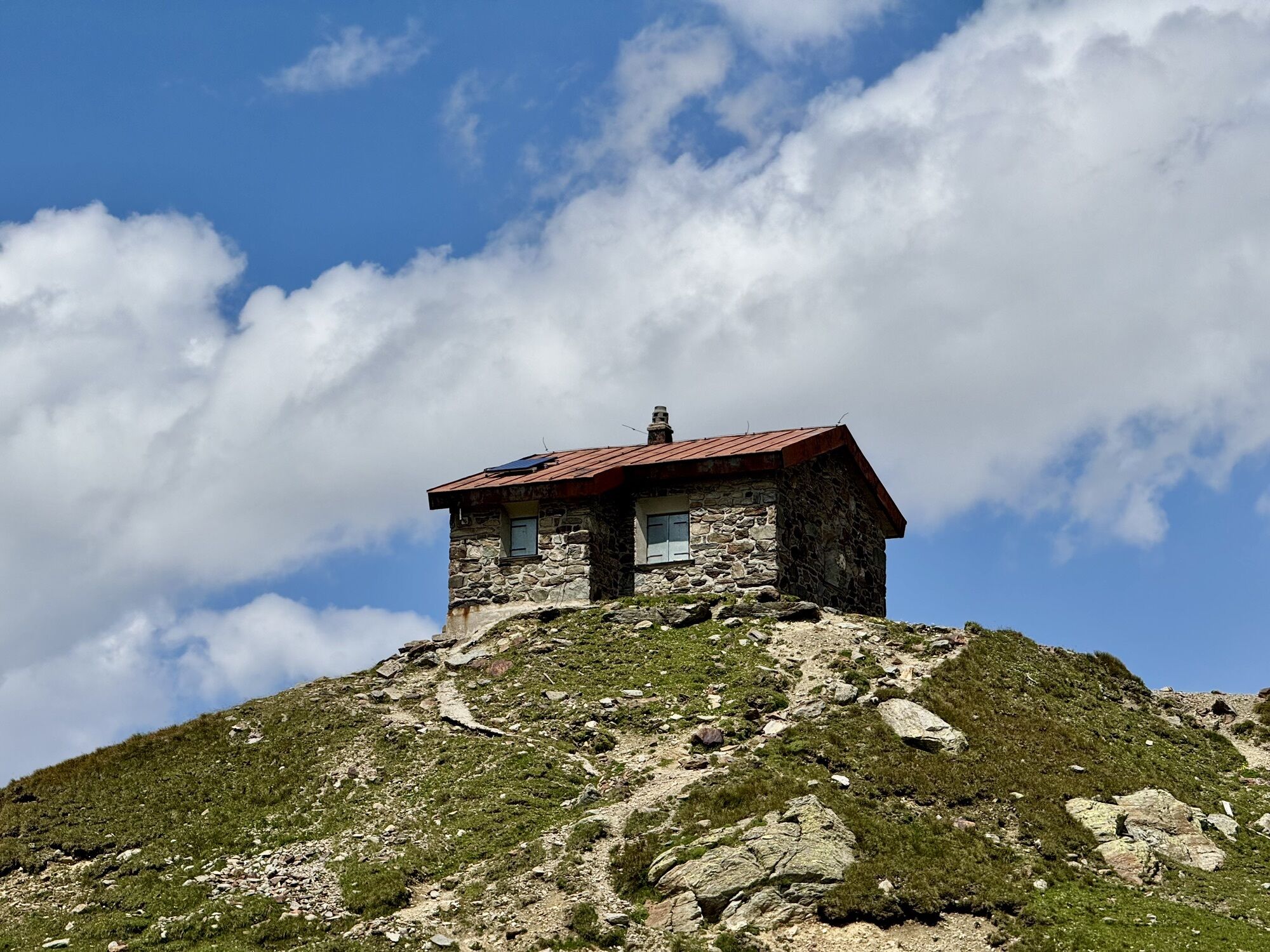
Before heading back, the Timmelsjoch inn invites you to a well-deserved break. The distant views of the surrounding mountain and glacier world make you forget some hardships.
The rapid descent back to Sölden turns into pure, adrenaline-filled fun. Only the 150-meter uphill counter-climb is really tough. This climb has often decided the Ötztal Cycling Marathon or made the descent to Sölden massively difficult for some participants. From here, with few exceptions, you can reach Sölden without exerting power.

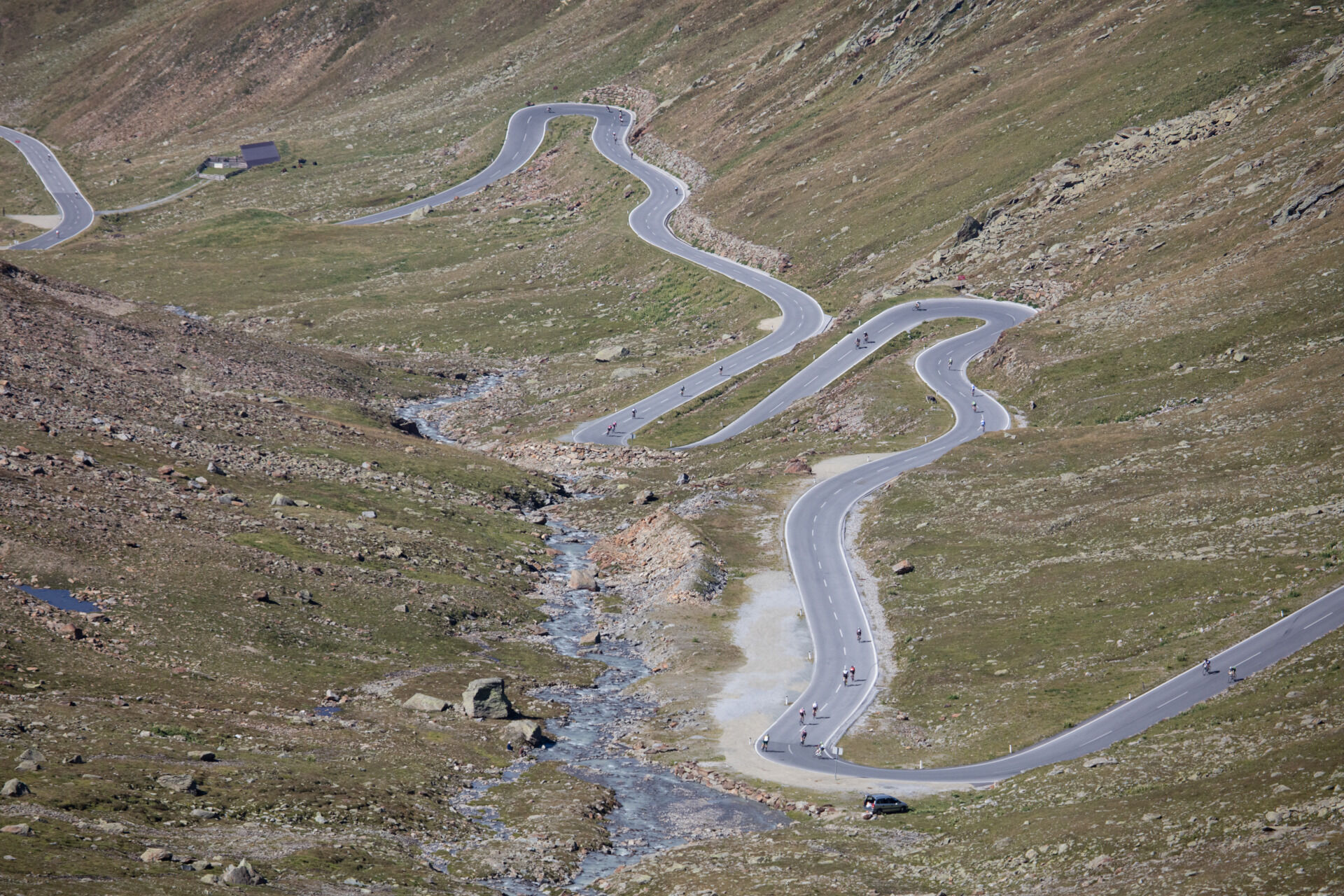
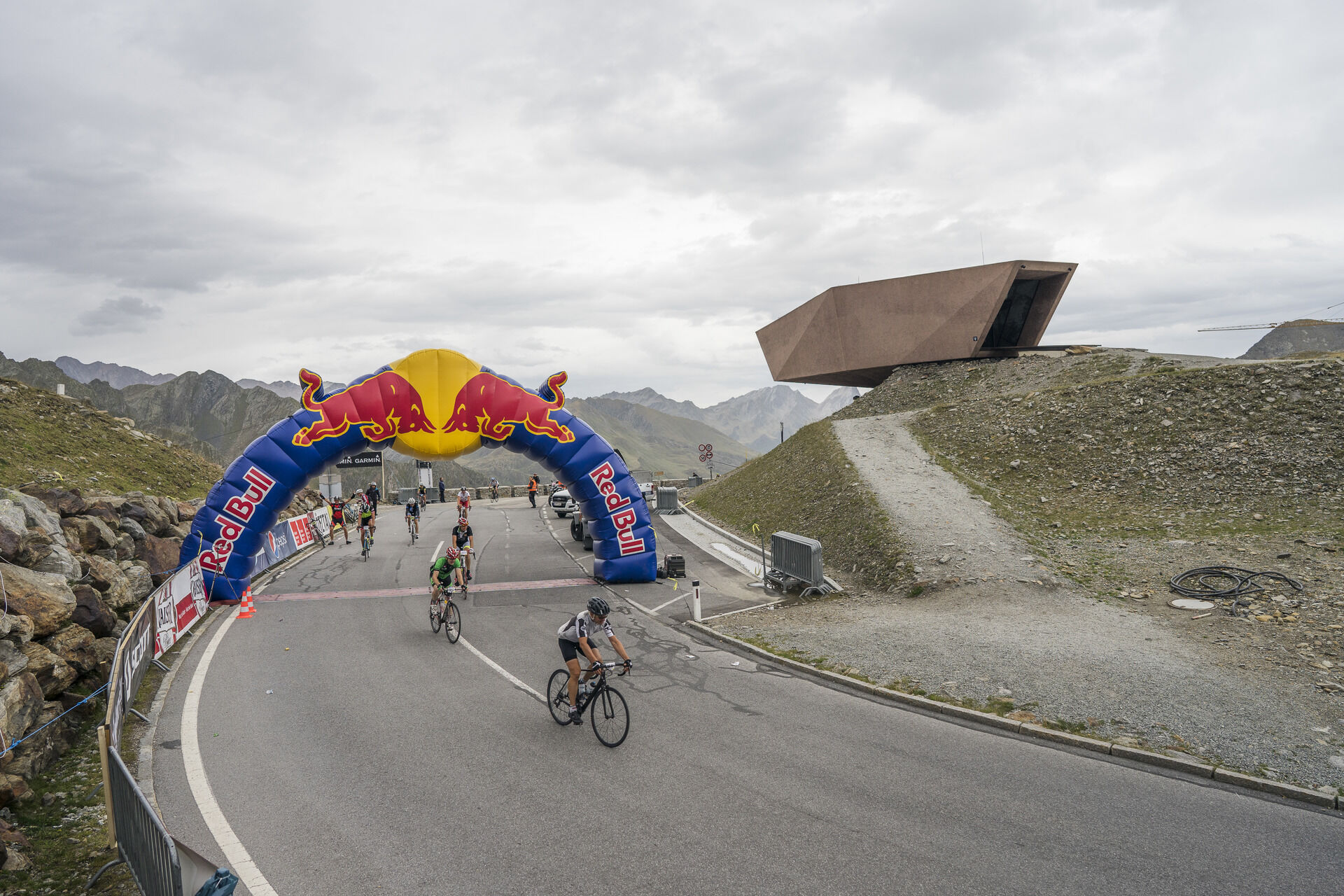
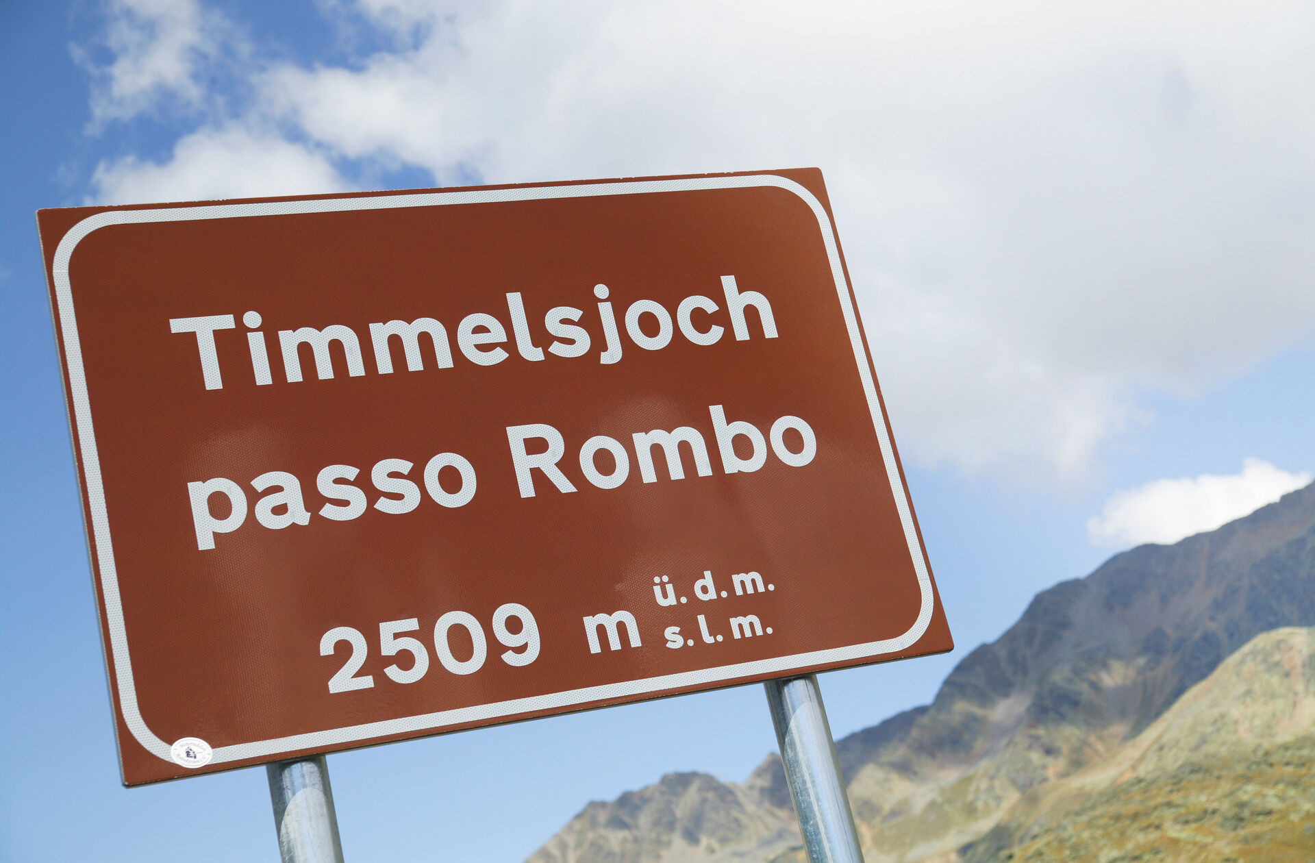
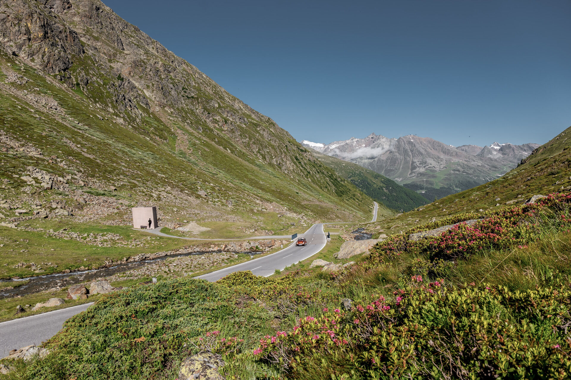

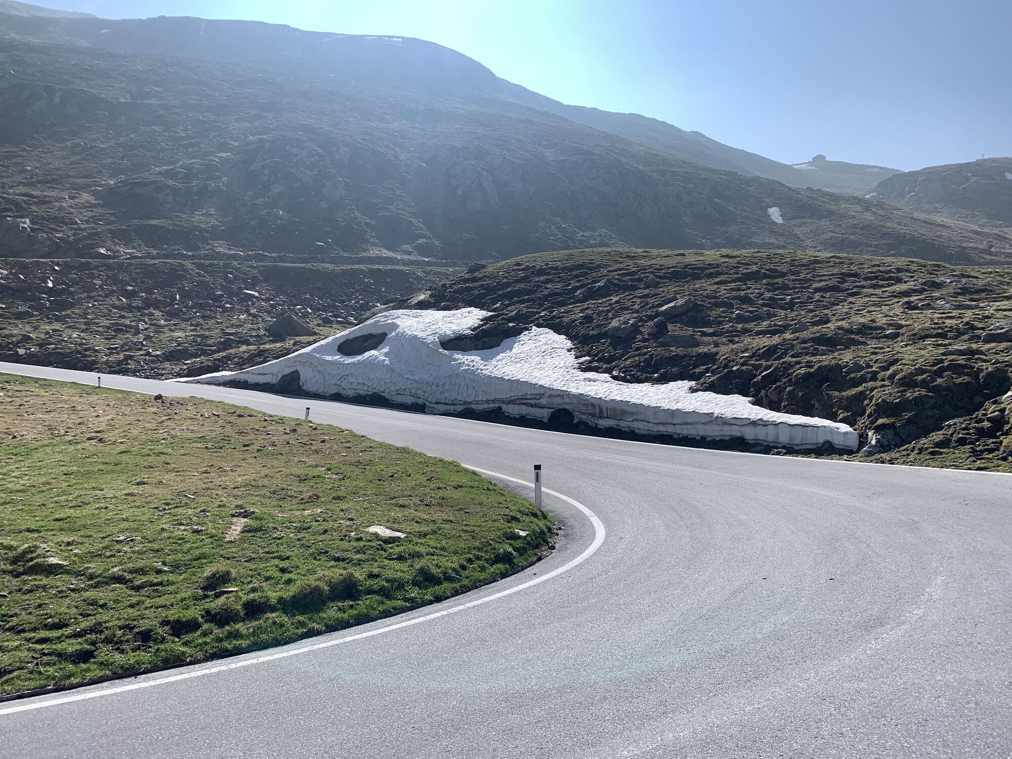
The well-developed ascent on the Austrian side starts in Sölden at Freizeit Arena, following the federal road southwards. 1,000 meters of elevation over 23.5 kilometers demand a well-trained rider. In the first kilometers after Sölden, the Venter Valley is left to the right before Zwieselstein. Then it gets tough in a steep section with inclines of up to 13 percent until the junction to the village of Obergurgl. Turning left there begins the actual Timmelsjoch High Alpine Road. It leads over Hochgurgl, passes the toll station, and drops another 150 meters into the Timmelsbach valley, before the final climb with six hairpin bends and about ten percent gradient climbs the main Alpine ridge. The return route follows the same path back to Sölden.
Personal equipment must be safe, functional, and meet the current technical standards. Every road cyclist is recommended to inform themselves about the planned routes through specialist literature or on site. Full road cycling equipment is absolutely recommended even for experienced riders!
Tip: A light is advisable for the partly sparsely illuminated tunnels.
The traffic regulations (StVO) apply. General valid and usual rules of conduct.
It should be noted that road cycling can involve an increased risk of accidents and injuries. Despite careful tour planning, a basic risk always remains. Tour preparation through endurance sports, appropriate training and further education, as well as personal prudence reduces the risk of accidents and hazards.
WHERE IS SÖLDEN?
Sölden is located in western Austria in the state of TIROL, in a southern side valley of the Inn valley – the ÖTZTAL.
Arrival from the west:
From Vorarlberg to Tirol over the Arlberg Pass or through the Arlberg Tunnel (S 16) - Landeck - Motorway A 12 towards Innsbruck - Exit Ötztal after Roppener Tunnel - B 186 (35 km) to Sölden
From the north:
- Bad Tölz - Achen Pass - B 181 - Jenbach - A 12 Innsbruck towards Bregenz - Exit Ötztal - B 186 (35 km) to Sölden
- Pfronten - Reutte - Fern Pass - Imst - A 12 towards Innsbruck - Exit Ötztal after Roppener Tunnel or B 171 Tiroler Straße to Ötztal (no toll vignette) - B 186 (35 km) to Sölden
- Garmisch Partenkirchen - Ehrwald - Lermoos - Fern Pass - Imst - A 12 towards Innsbruck - Exit Ötztal after Roppener Tunnel or B 171 Tiroler Straße to Ötztal (no toll vignette) - B 186 (35 km) to Sölden
- Garmisch Partenkirchen - Mittenwald - Scharnitz - Seefeld in Tirol - Telfs - A 12 towards Bregenz - Exit Ötztal or B 171 Tiroler Straße to Ötztal (no toll vignette) - B186 (35 km) to Sölden
From the east:
From Munich or Salzburg on the A 93 to Kufstein, then on the A 12 towards Bregenz, over Innsbruck to the Ötztal exit, then continuing on B 186 (35 km) to Sölden
From the south:
Coming from Bolzano towards Brenner (toll road) - Brenner motorway via Schönberg toll station towards Innsbruck - from Innsbruck on A 12 towards Bregenz to Ötztal exit - continuing on B 186 (35 km) to Sölden
Arrival by train
Travel comfortably and safely by train to Ötztal train station. A regular bus departs directly from the station forecourt towards Obergurgl. The bus ride to Sölden takes about 1 to 1.5 hours.
All important information about bus schedules, connections, and taxi companies can be found here.
At the valley stations of the Gaislachkoglbahn and Giggijochbahn, there are sufficient free parking spaces available, and free parking garages are also provided. Parking is free from 8:00 a.m. to 7:00 p.m.
Paid overnight car parking is possible in the Gaislachkogl car park:
more information about overnight parking
4
More info about biking & cycling in the Ötztal: https://www.oetztal.com/biken
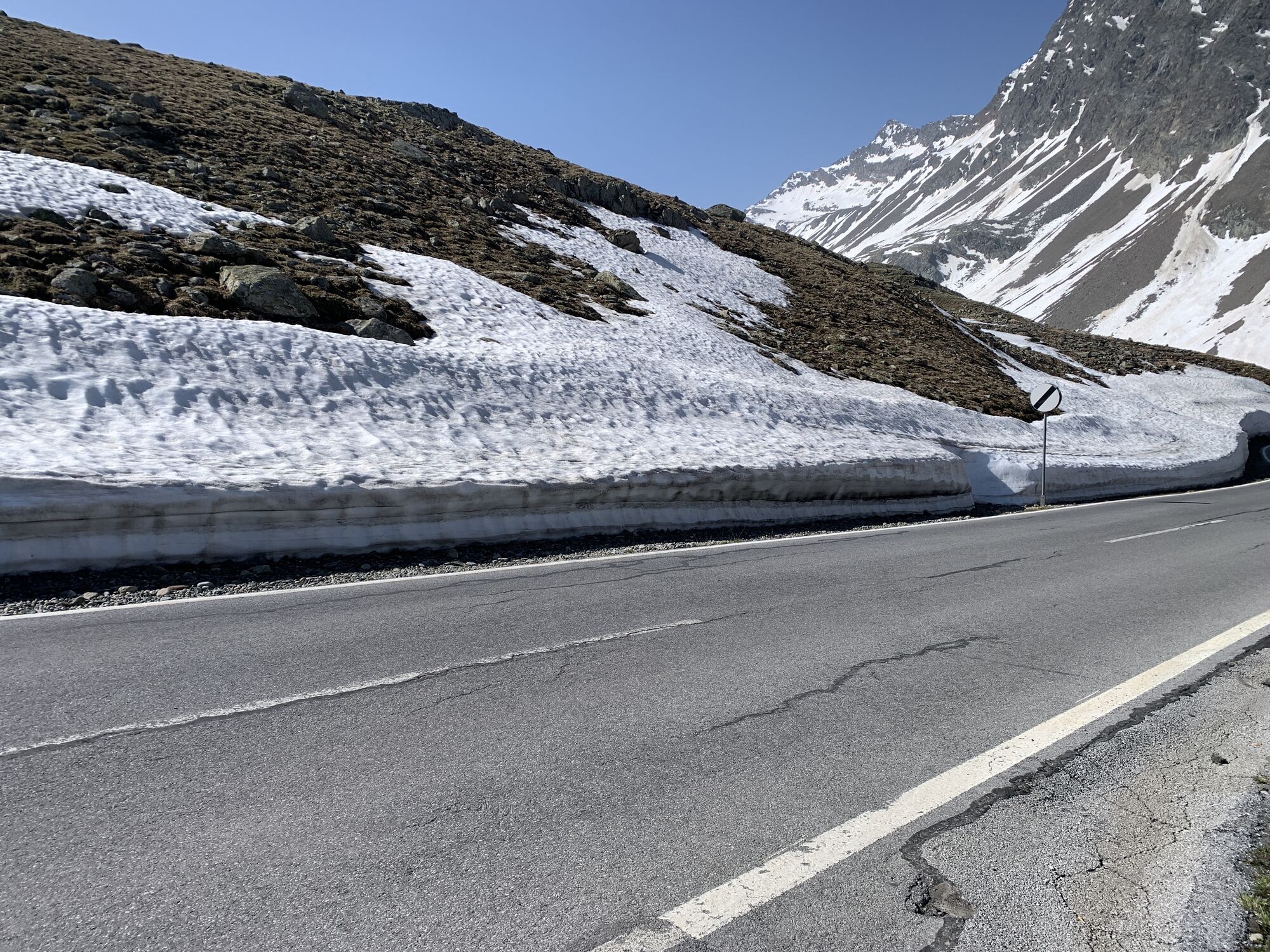
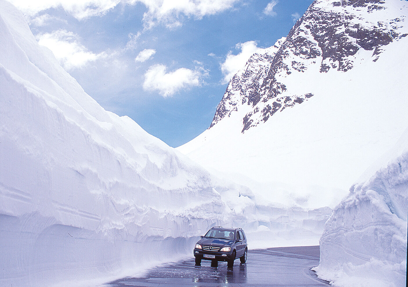
A ride to the Timmelsjoch shortly after the season opening at the end of May with snow walls up to five meters high is a special annual experience.

Webové kamery z prehliadky
-
Obergurgl
-
Hochgurgl
-
Obergurgl
-
Seekogel
-
Gaislachkogel
-
Gaisberg
-
Sölden - Hochsölden
-
Sölden - Grünwald Resort
-
Top Mountain Crosspoint Hochgurgl
-
Top Mountain Crosspoint Hochgurgl
-
Top Mountain Crosspoint Hochgurgl
-
Top Mountain Crosspoint Hochgurgl
-
Top Mountain Crosspoint Hochgurgl
-
Sölden - Grünwald Resort
-
Giggijoch
-
Giggijoch
-
Giggijoch
-
Giggijoch
-
Giggijoch
-
Obergurgl
-
Obergurgl
-
Obergurgl
-
Obergurgl
-
Obergurgl
-
Obergurgl
-
Giggijoch
-
Giggijoch
-
Obergurgl - Hotel Edelweiß
-
Top Mountain Crosspoint Hochgurgl
-
Sölden - Gaislachkogelbahn Mittelstation
-
Sölden - Schwarzkogl Talstation
-
Hochstubaihütte
-
Hochstubaihütte
-
Sölden Ort
-
The Peak Sölden**** Chalets und Appartements
Získajte prehľad
Vždy naživo na mieste s viac ako 9 500 webovými kamerami. bergfex Ako používateľ Pro si teraz môžete pozrieť príslušné webové kamery pre mnohé zájazdy v aplikácii zájazdy z. Môžete si tak priamo prezerať aktuálne podmienky.
Obľúbené výlety v okolí
-
4,8
Wilde Wasser Weg - Fortgeschritten
strednáTuristika 12,0 km -
4,4
Hochtour Wildspitze, 3.768m
strednáVysoké turné 9,75 km -
4,4
Vent - Wilder Mann - Breslauer Hütte - Stableinalm
strednáTuristika 7,25 km -
3,8
Breslauer Hut
strednáTuristika 4,75 km -
3,1
Tiefenbachglacier - Mountaineering Village Vent
strednáTuristika 10,8 km -
5,0
Dresdner hütte - sulzenauerhütte
strednáTuristika 12,1 km -
4,1
Hohe Geige über Gawinden und den Westgrat
ťažkéTuristika 14,3 km -
4,8
Seeber-See Rundweg
svetloHorská turistika 7,96 km -
5,0
Obergurgl - Ramolhaus
Turistika 7 km -
3,5
Peerler Lake
strednáTuristika 12,6 km
Turistika a stopovanie


Nenechajte si ujsť ponuky a inšpiráciu na ďalšiu dovolenku
Vaša e-mailová adresa bol pridaný do poštového zoznamu.





