







13 - Glockner tour
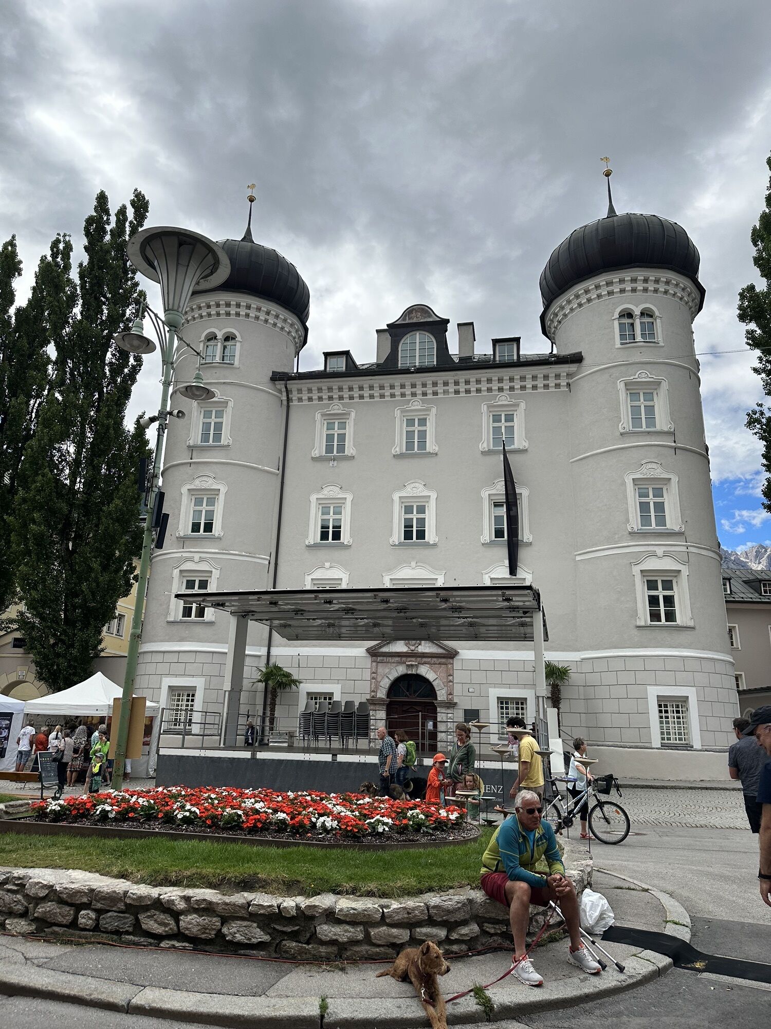
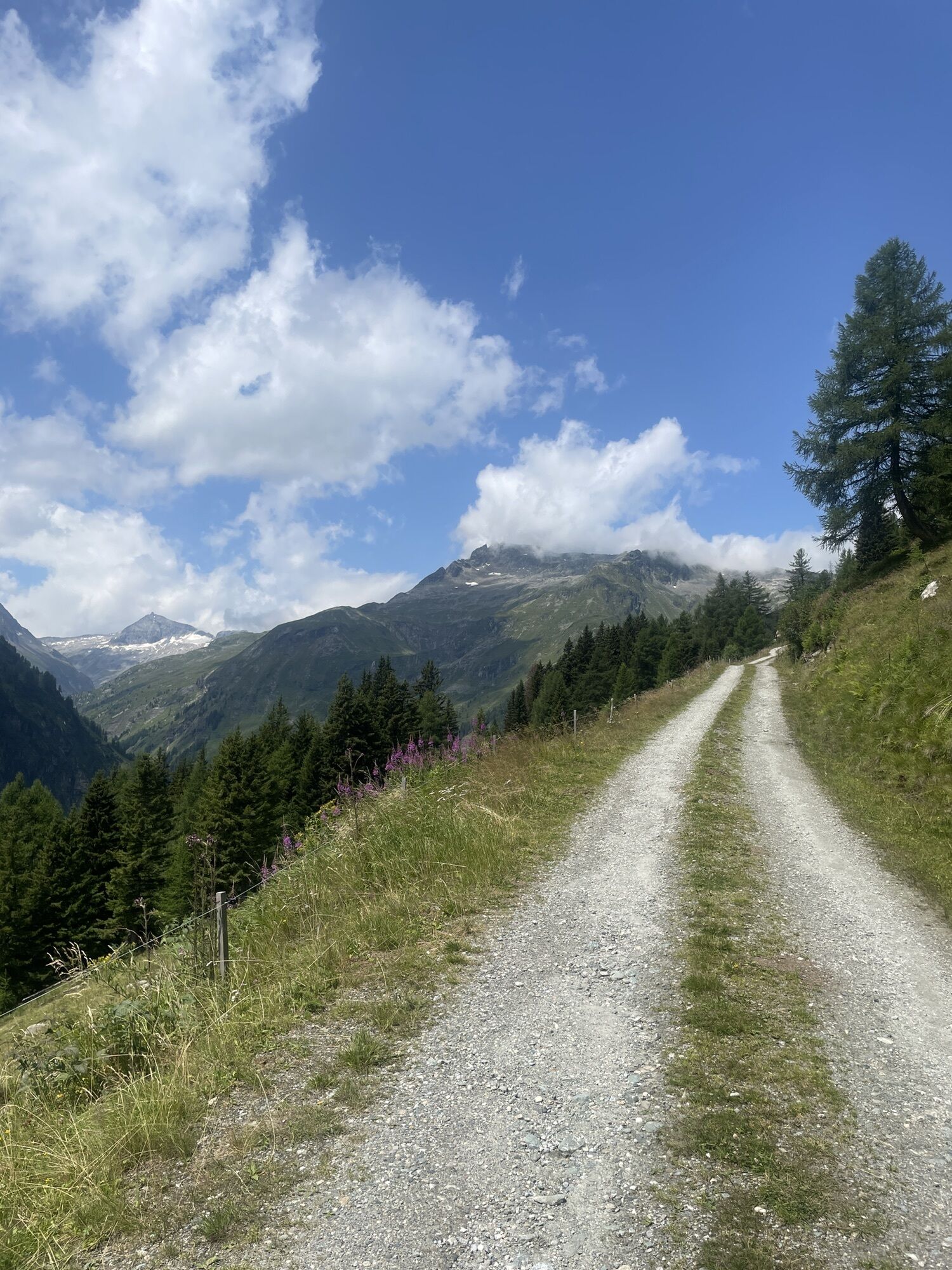
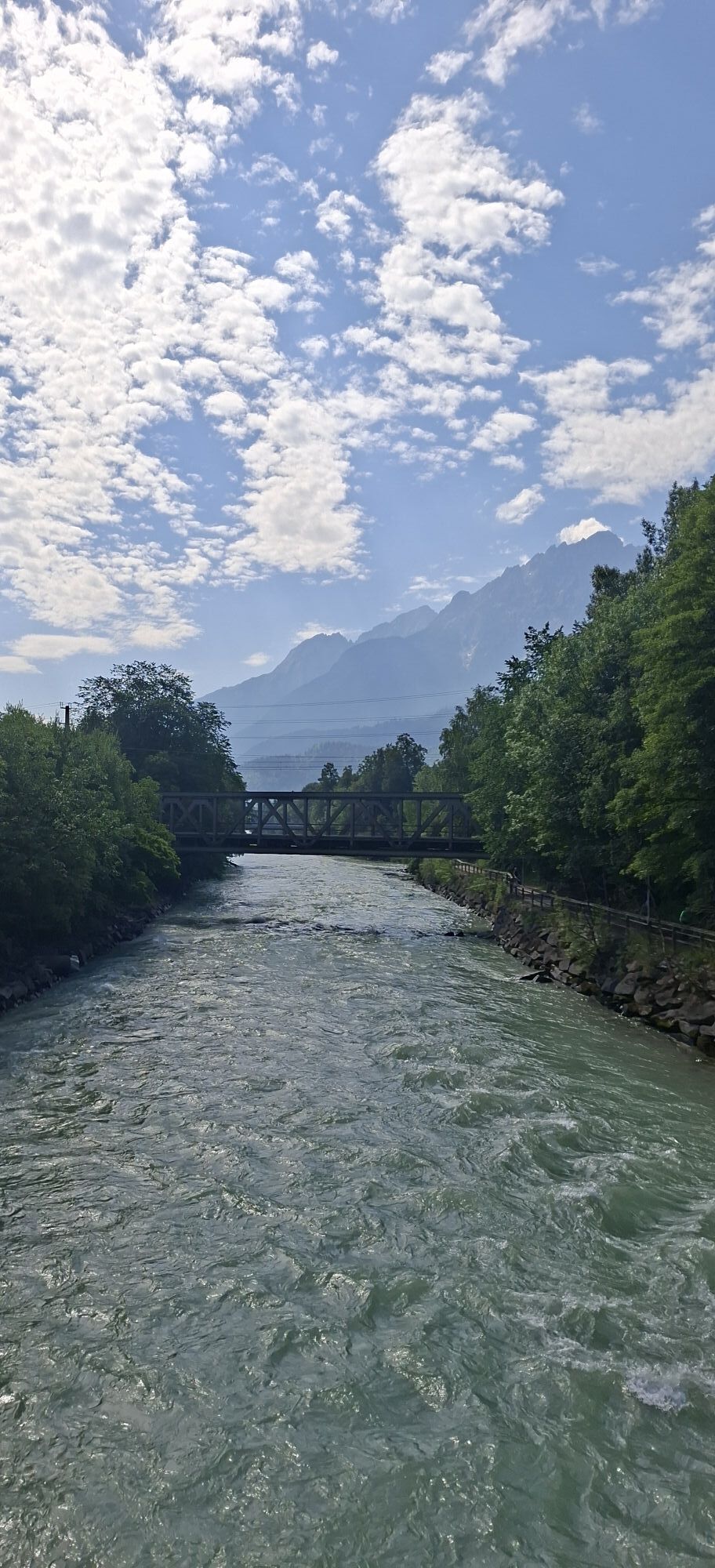
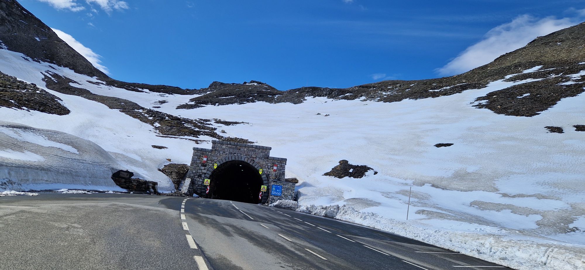
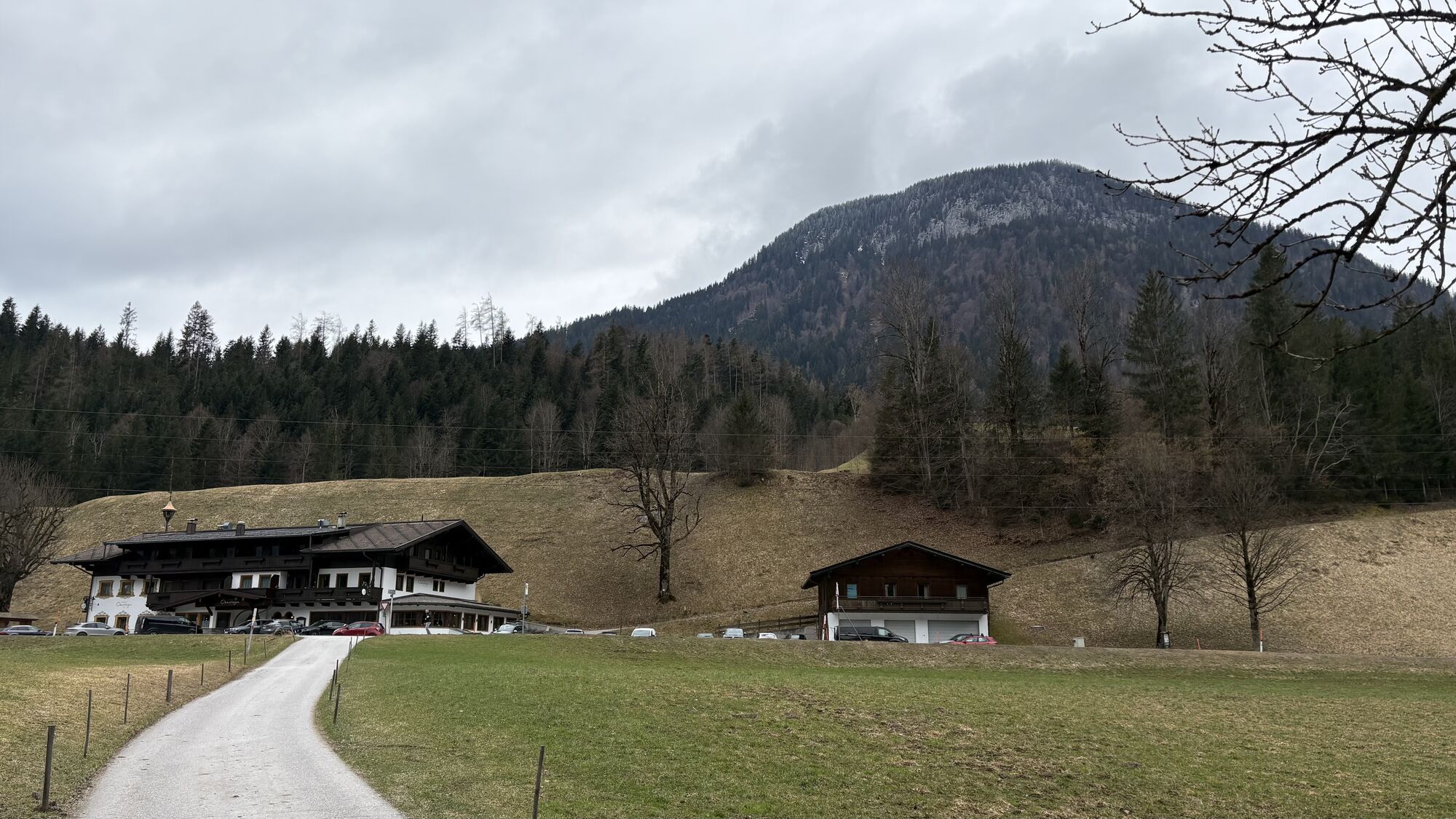
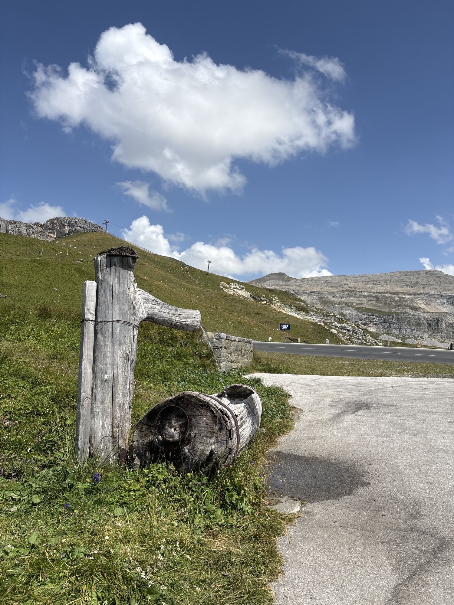
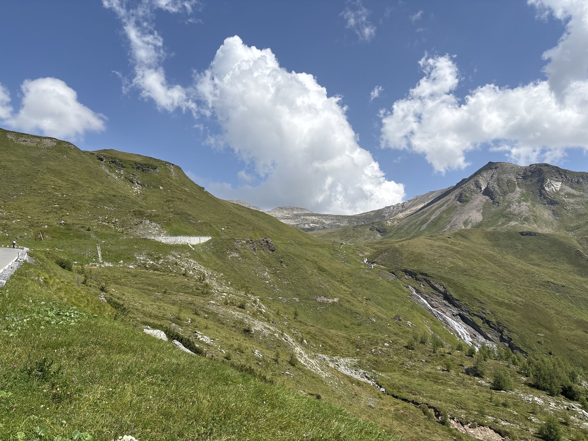
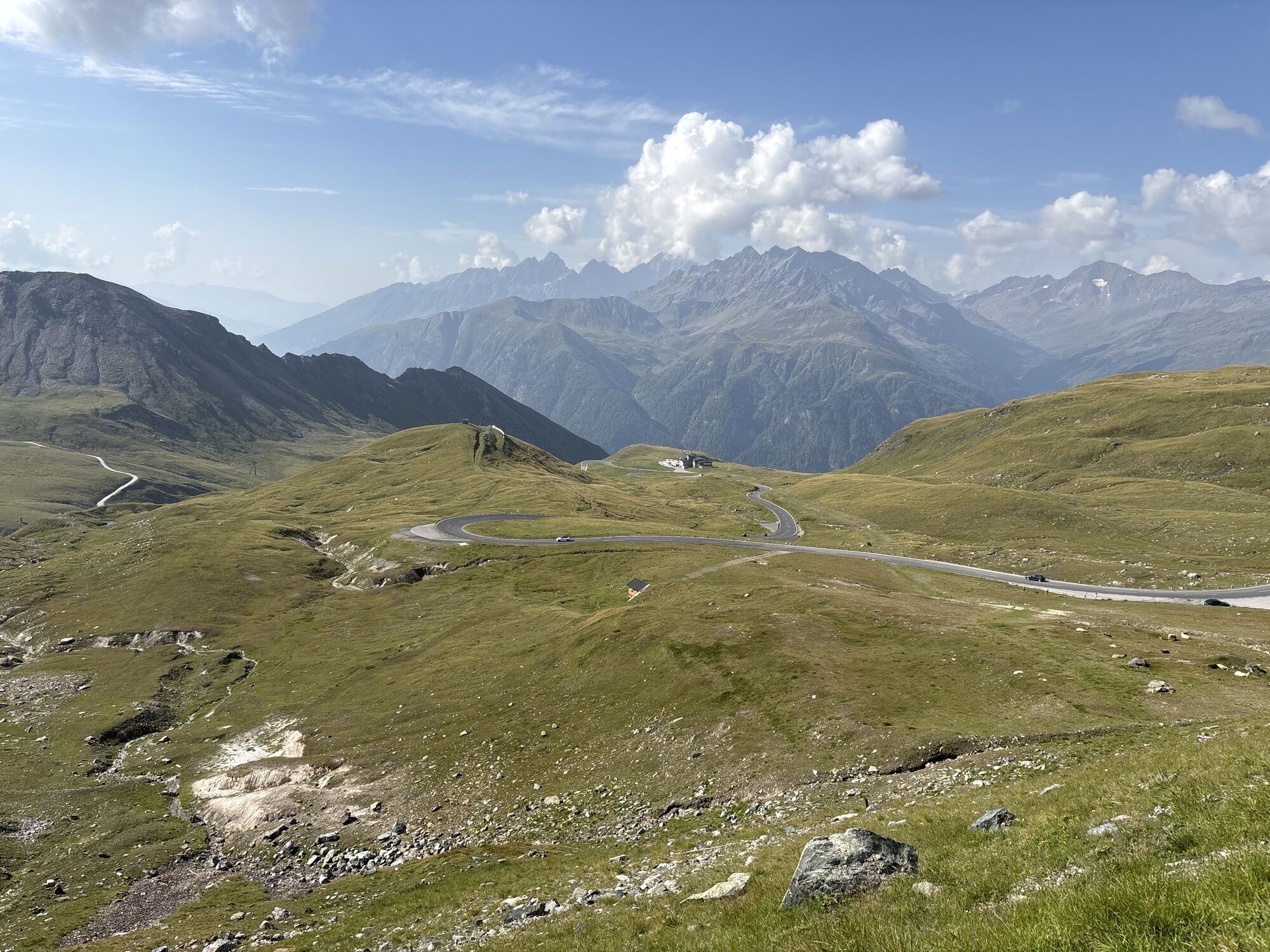
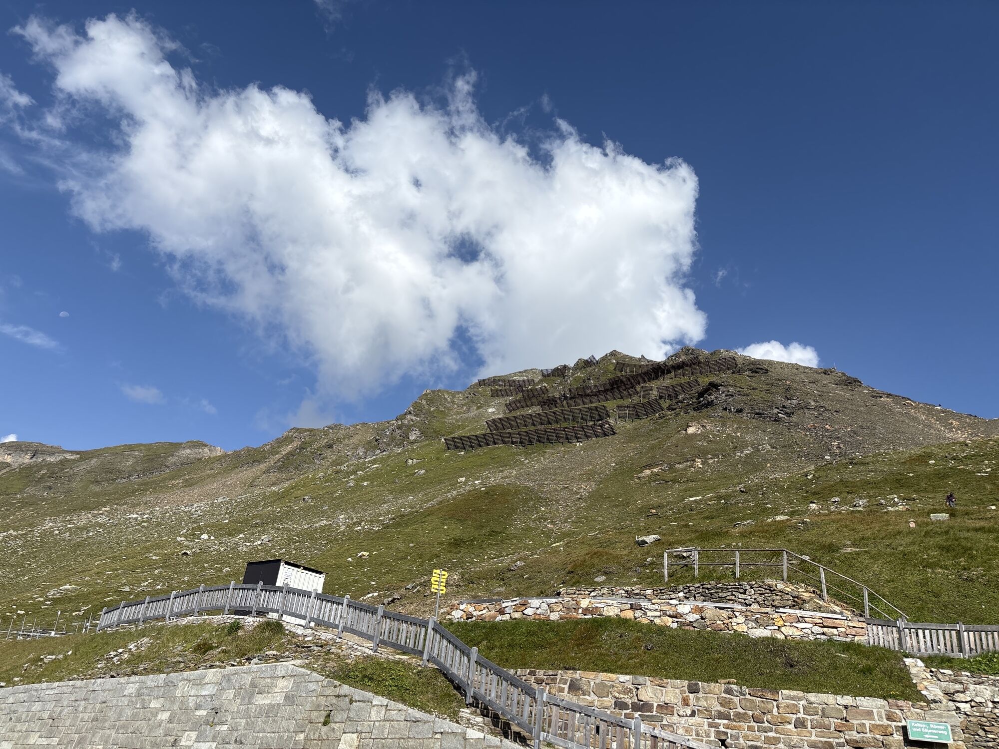
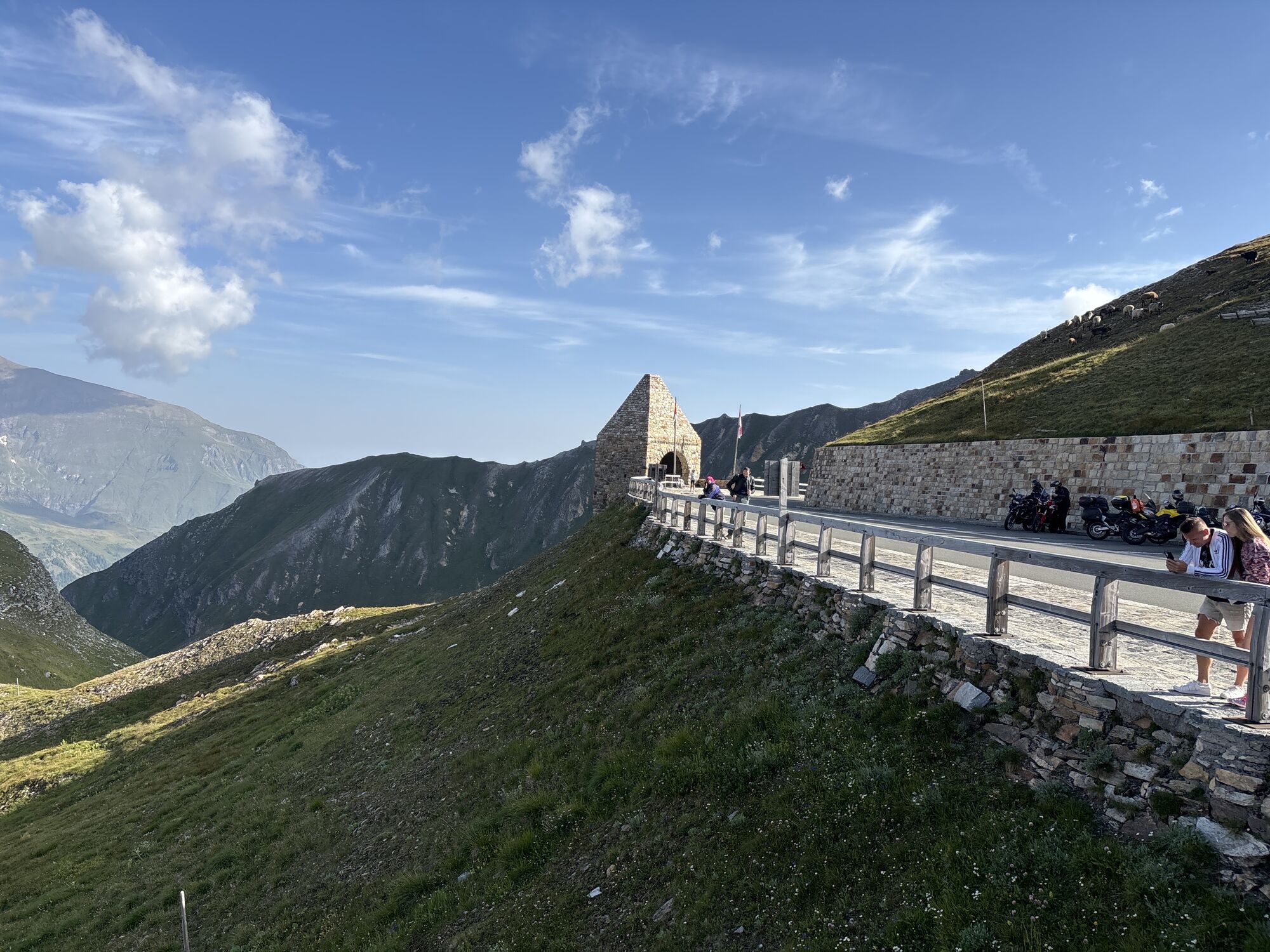
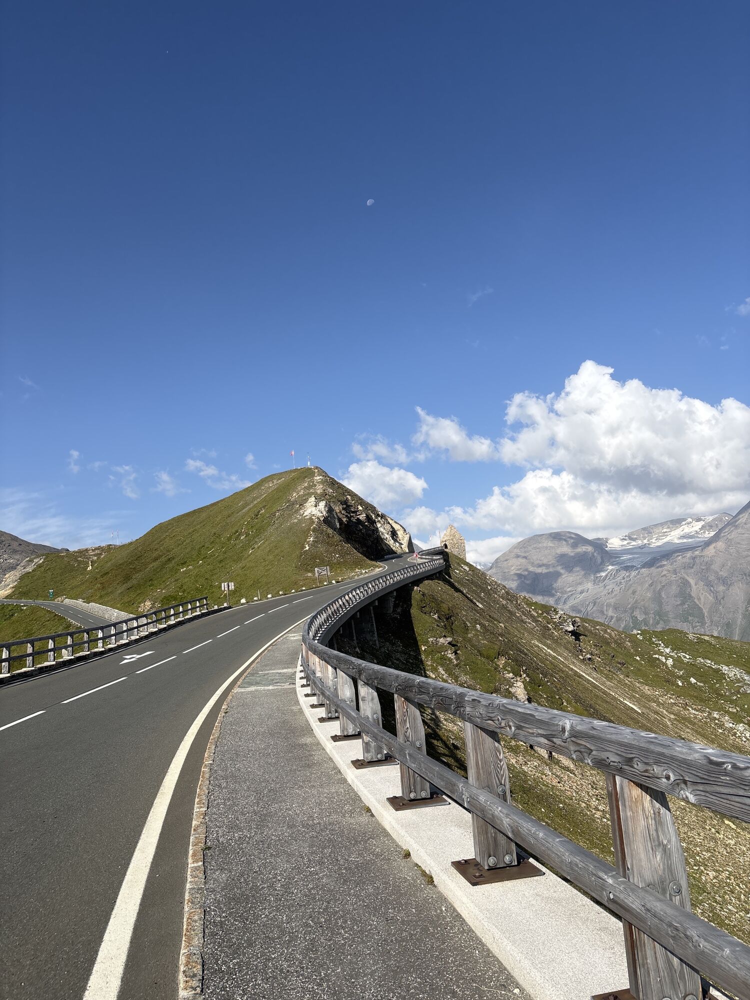
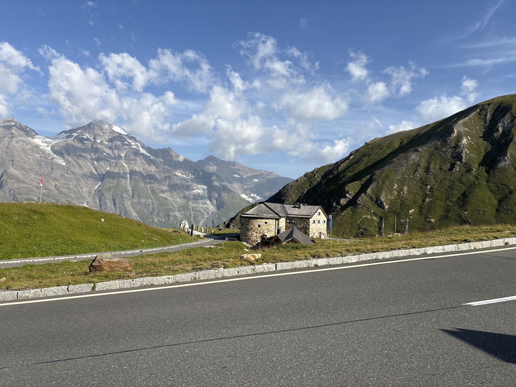
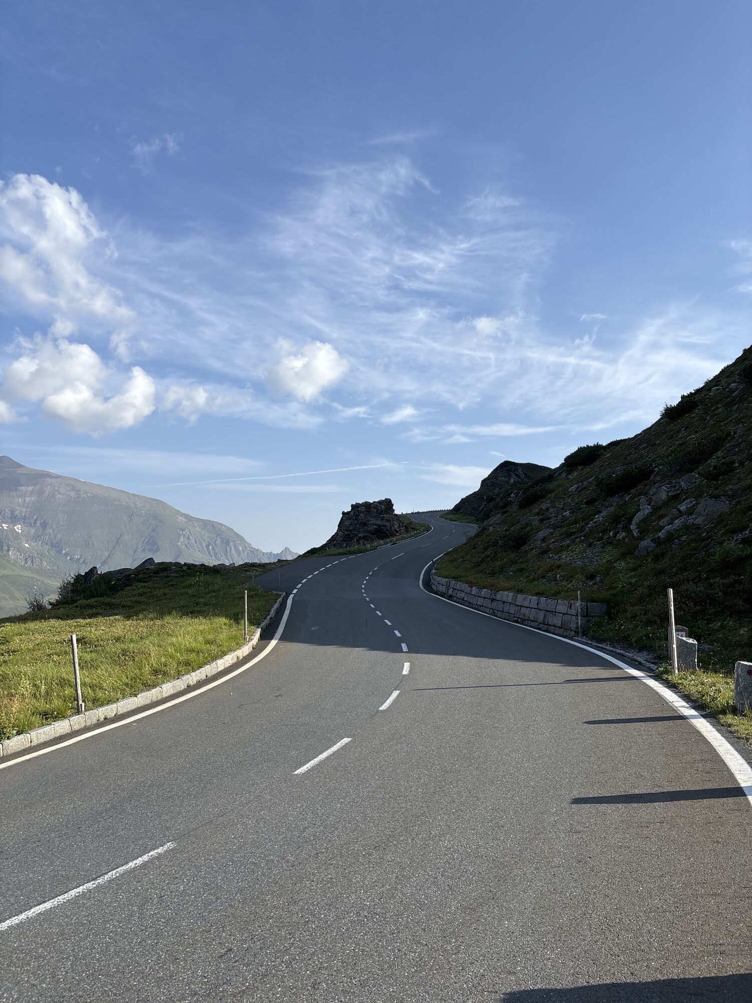
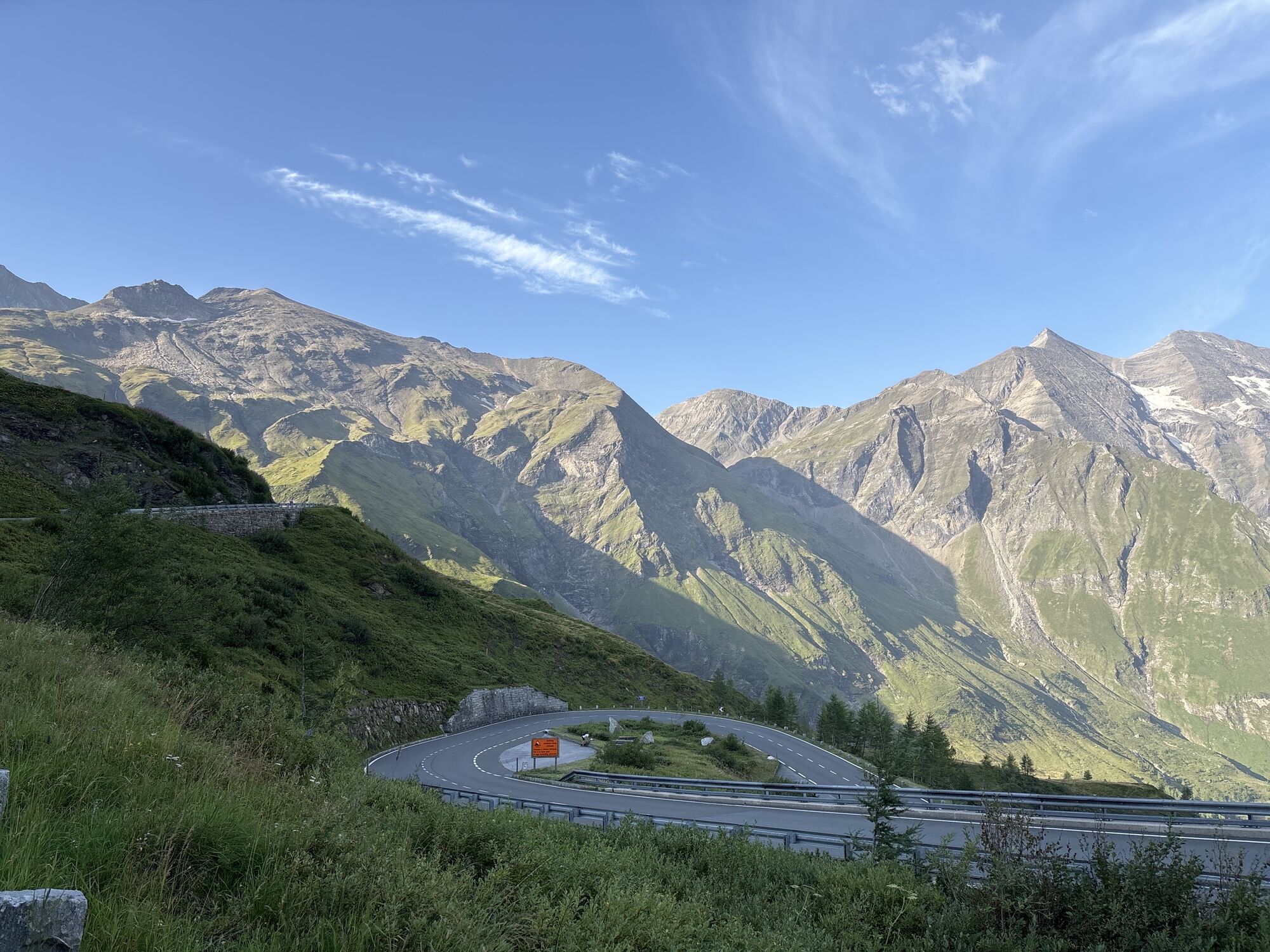
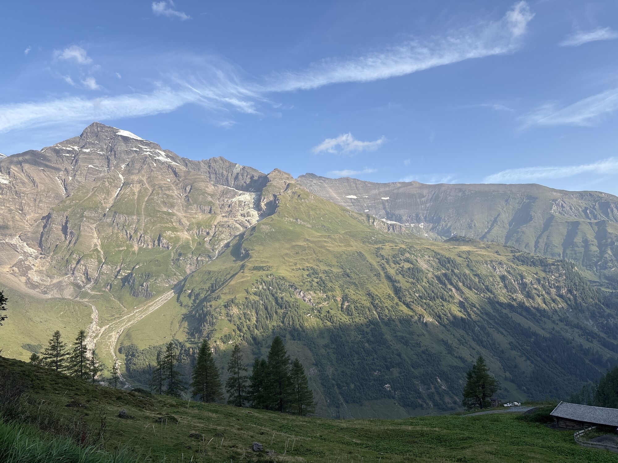
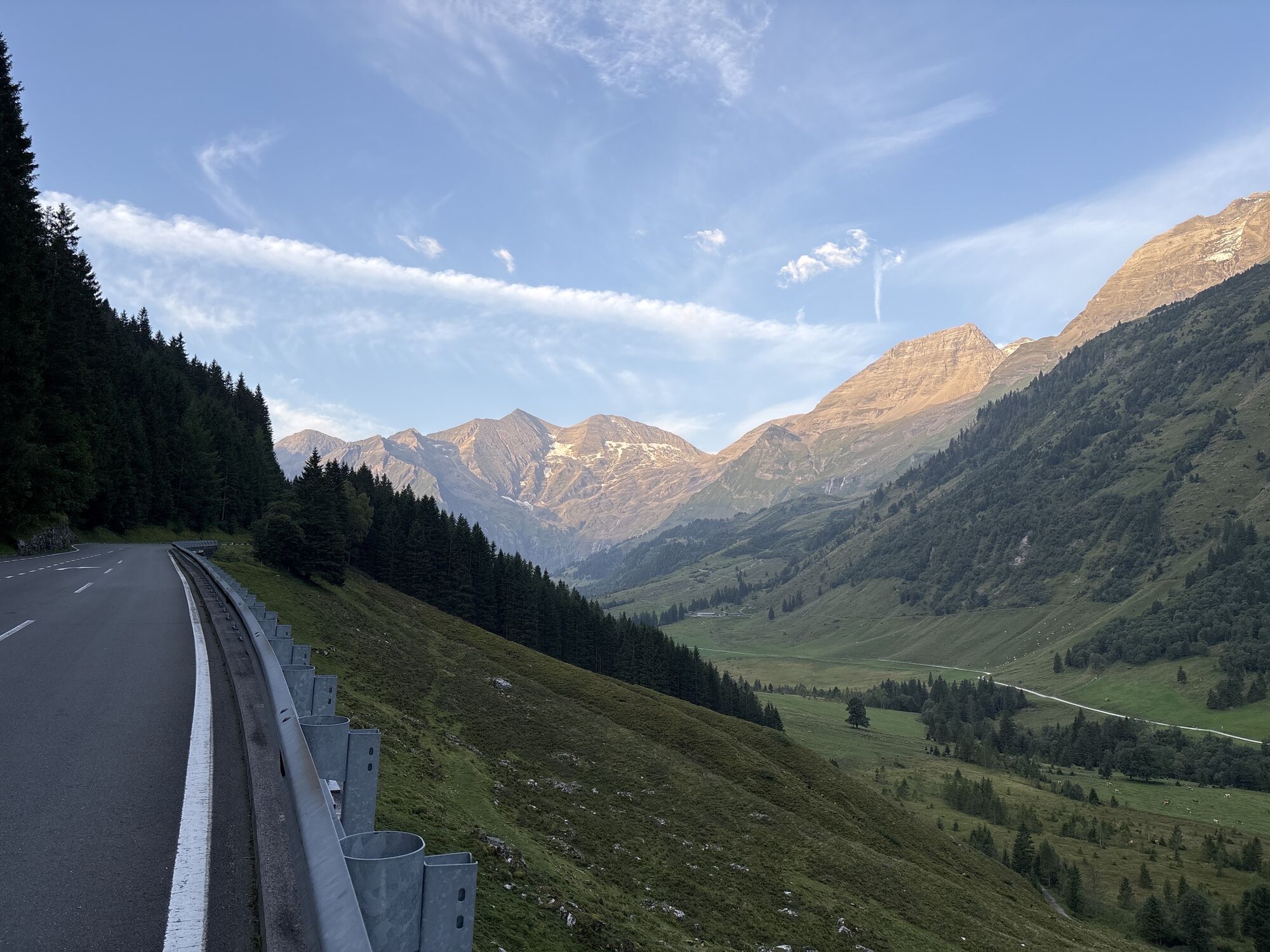

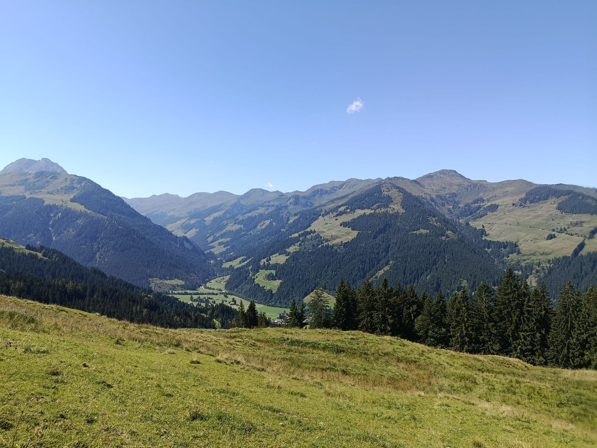
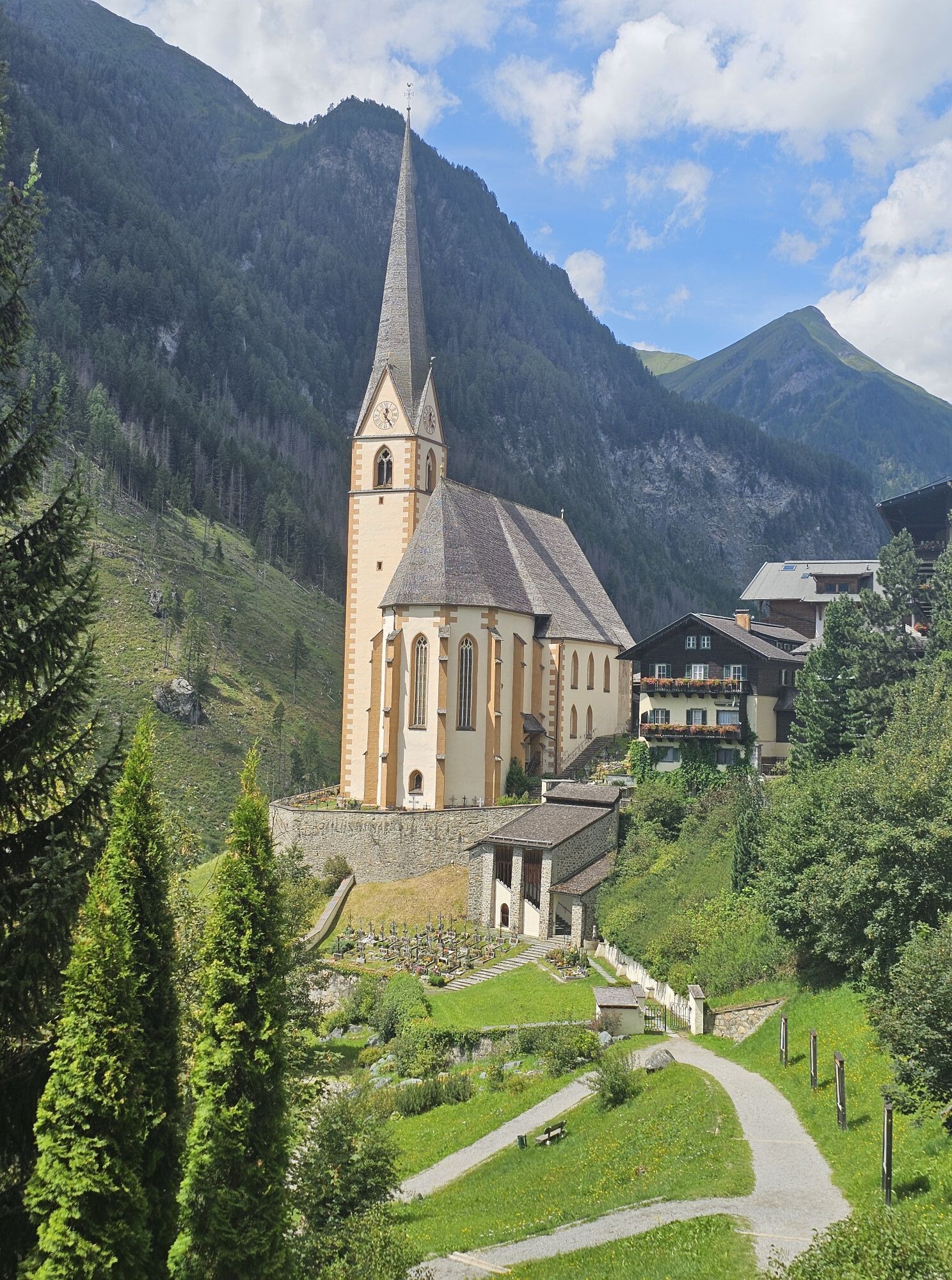
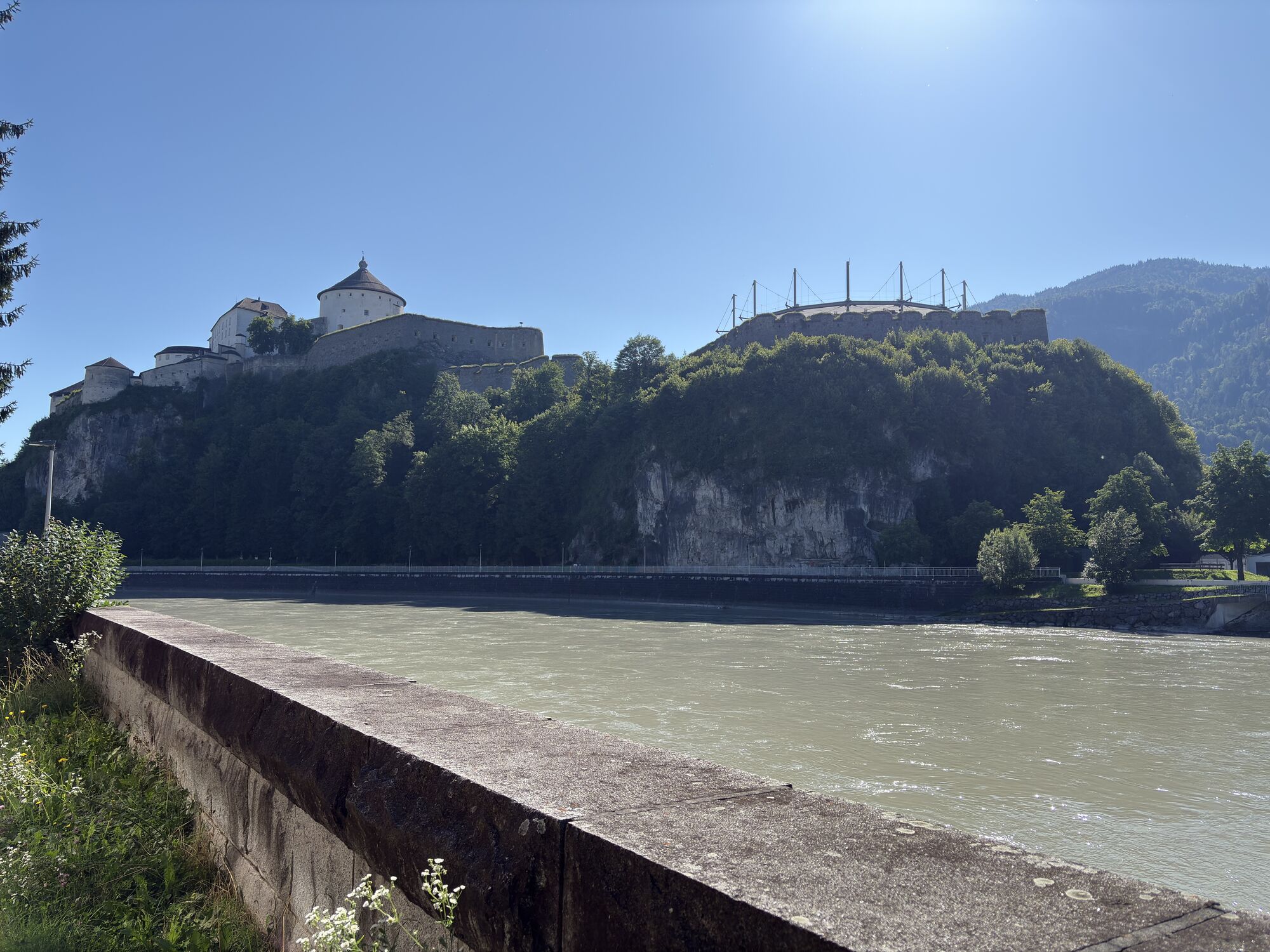
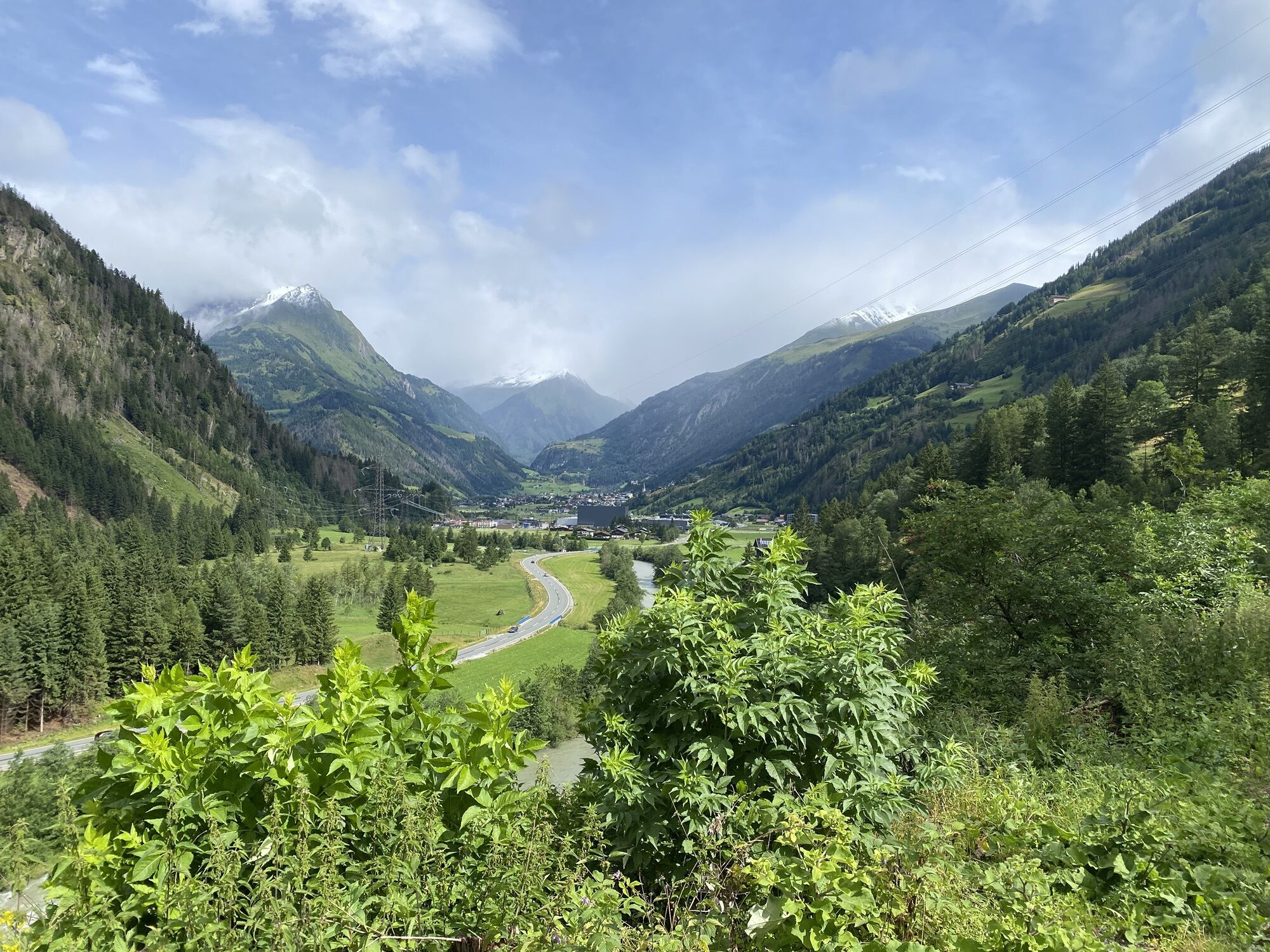
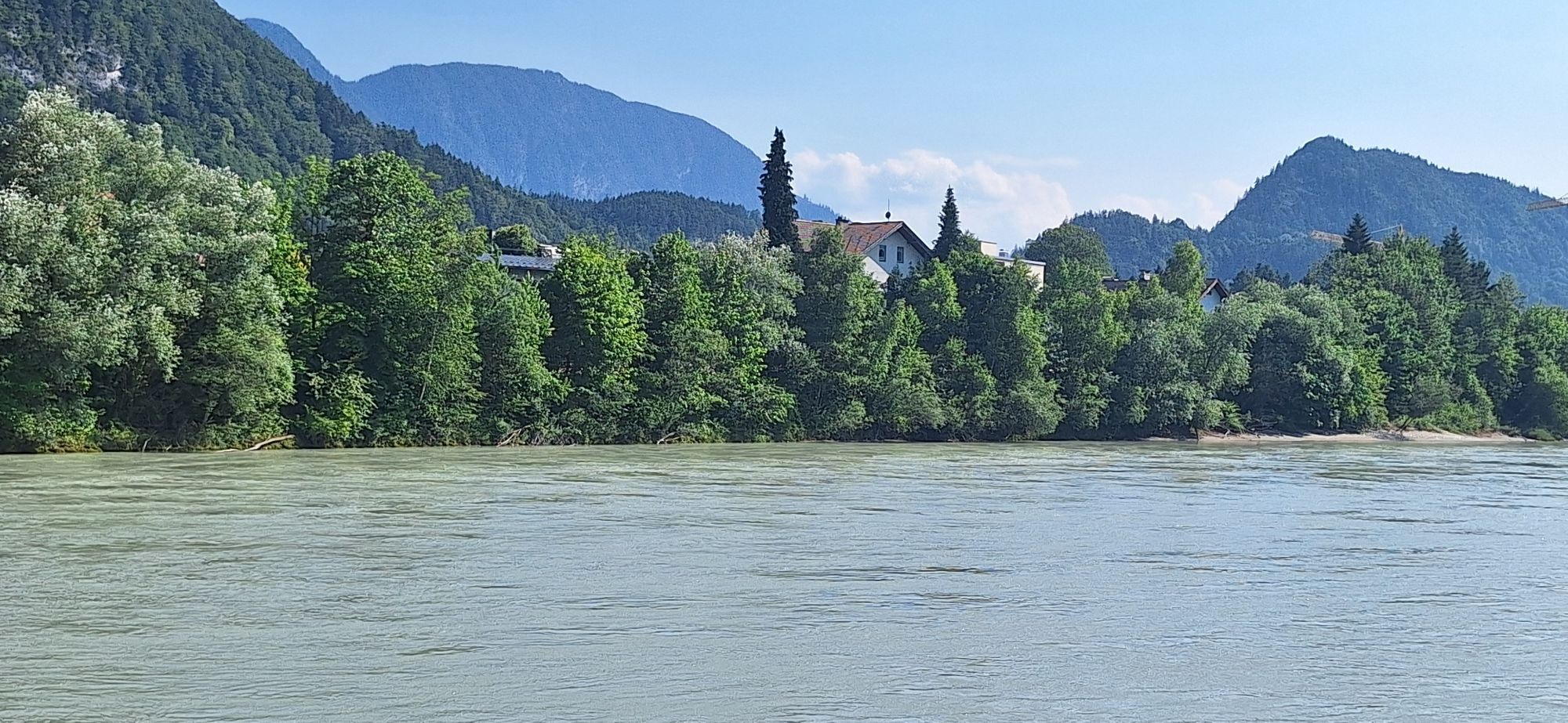
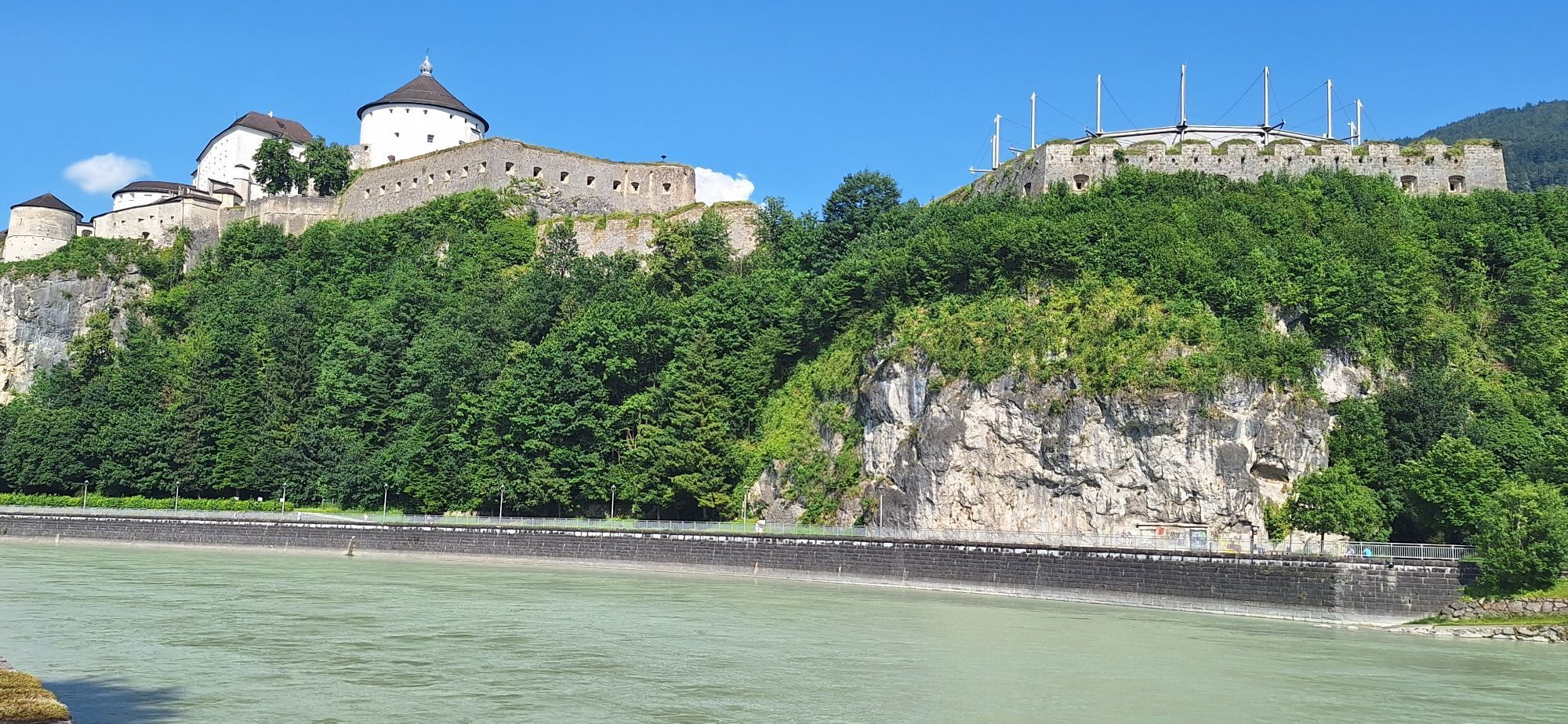
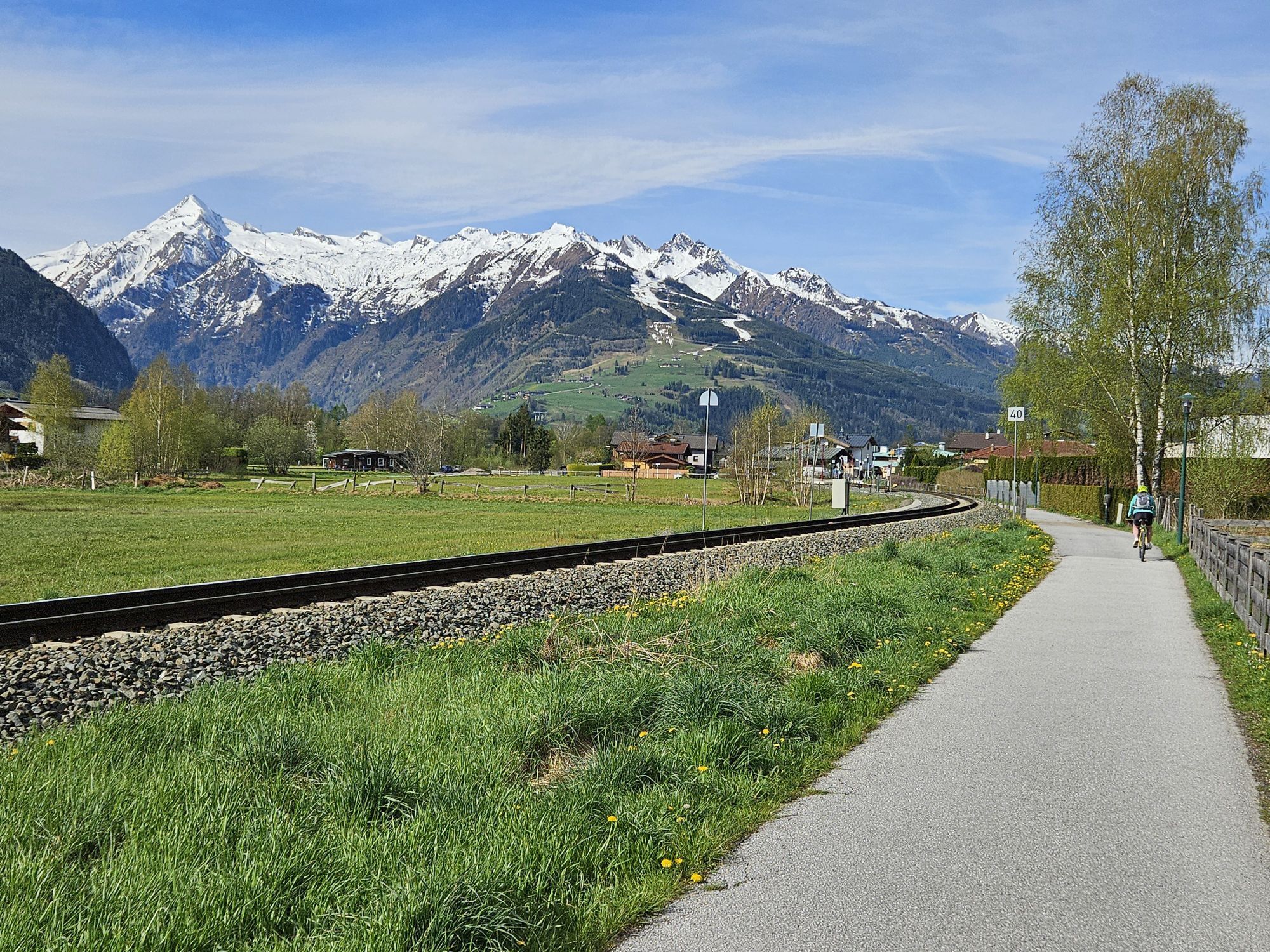
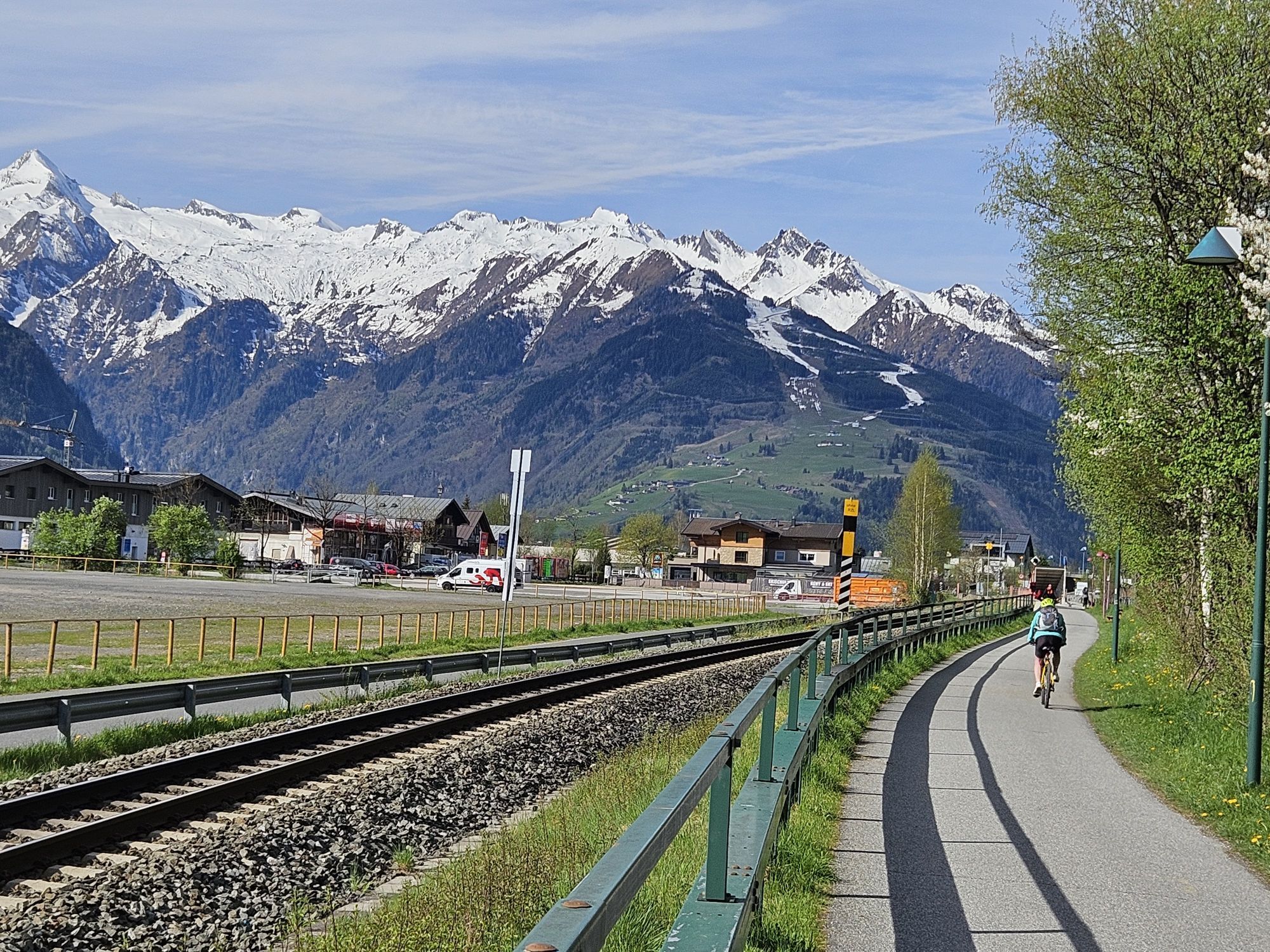
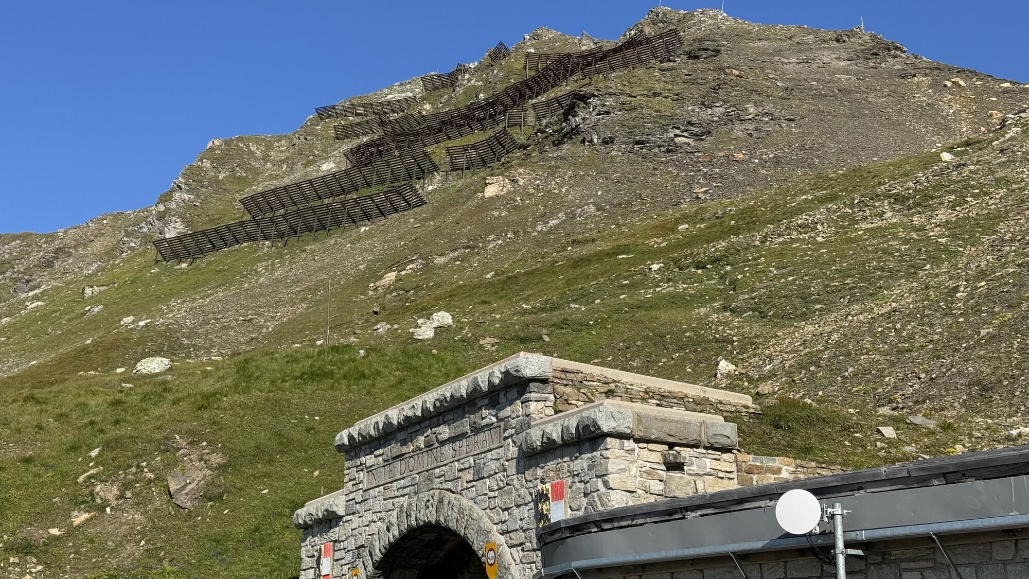
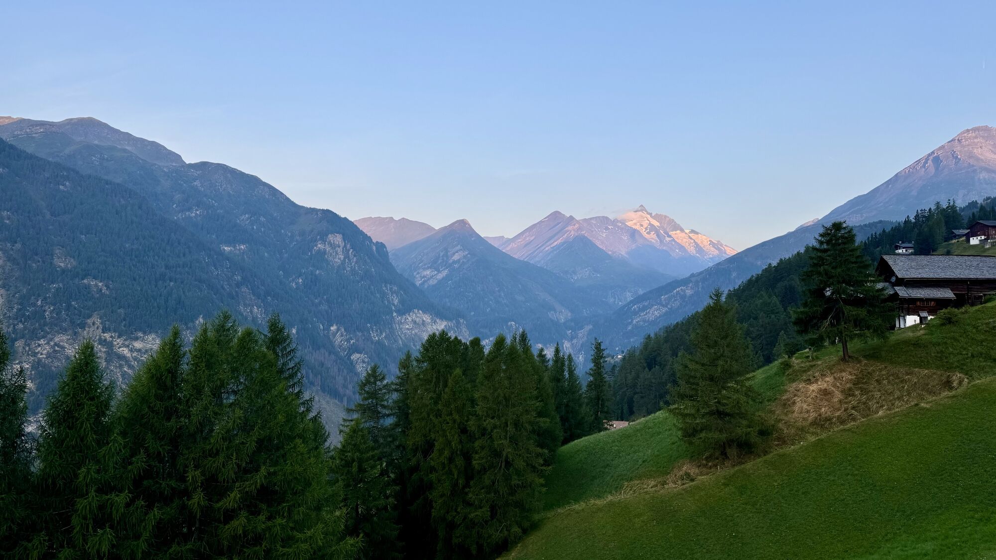

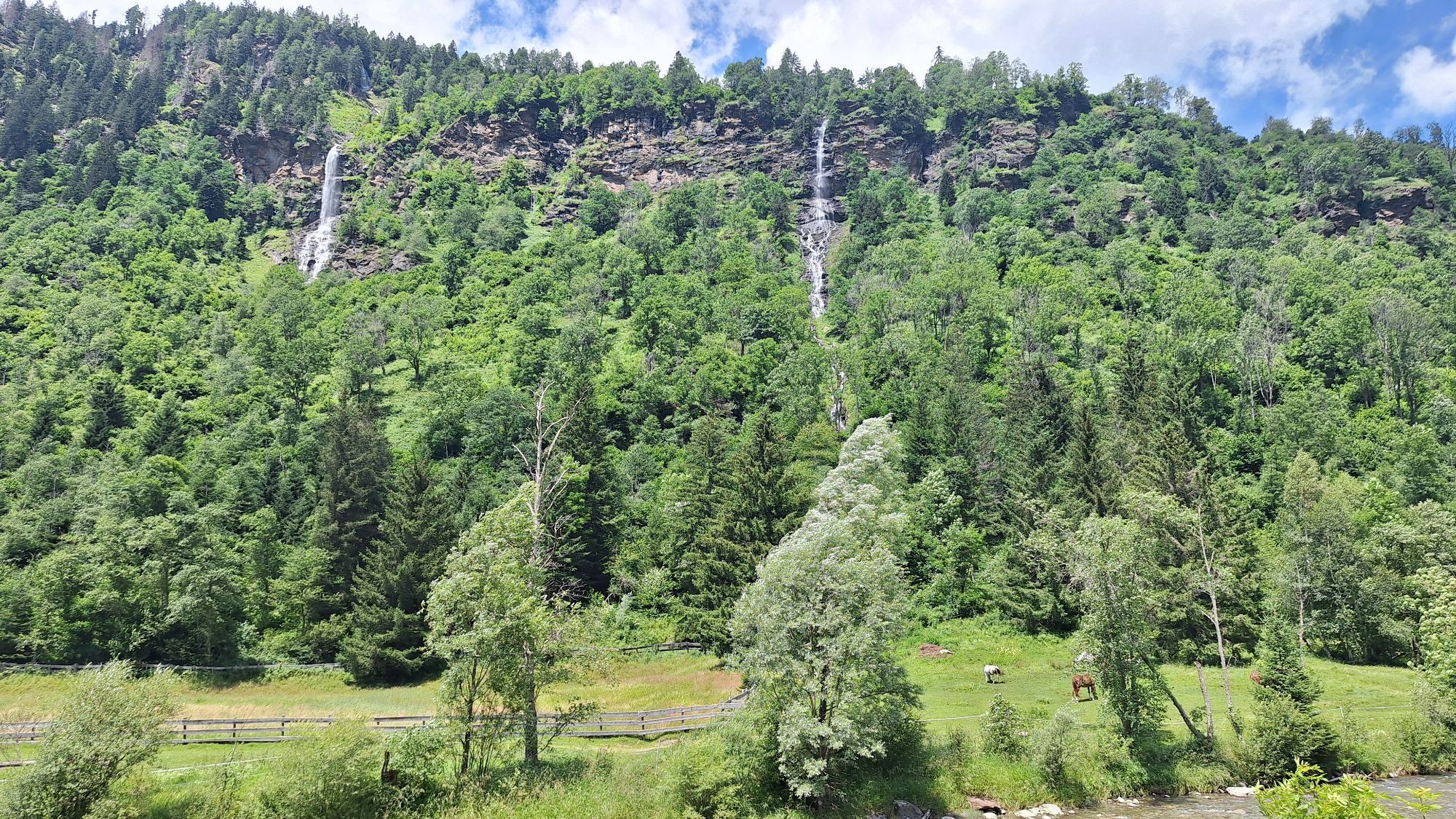
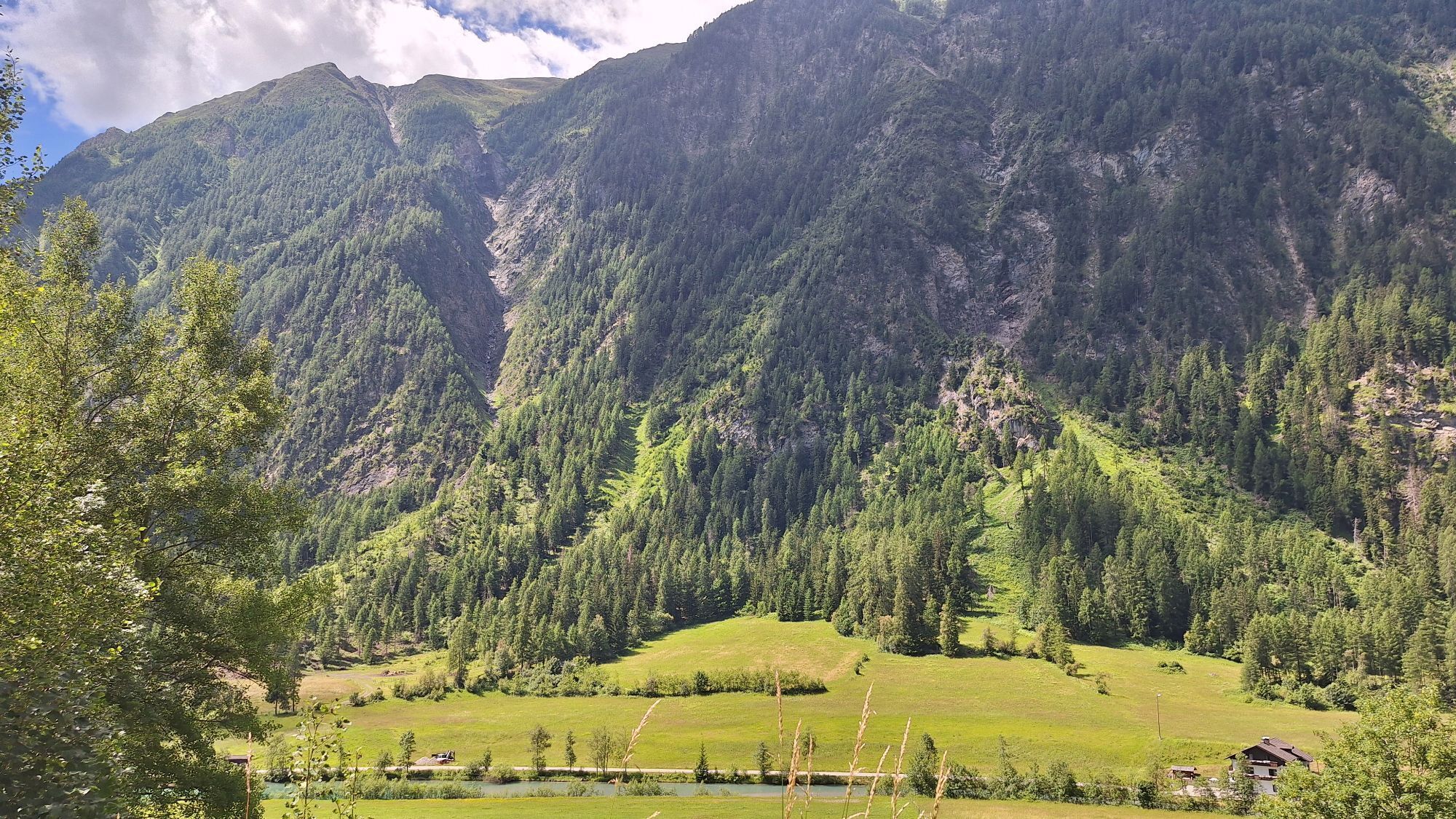
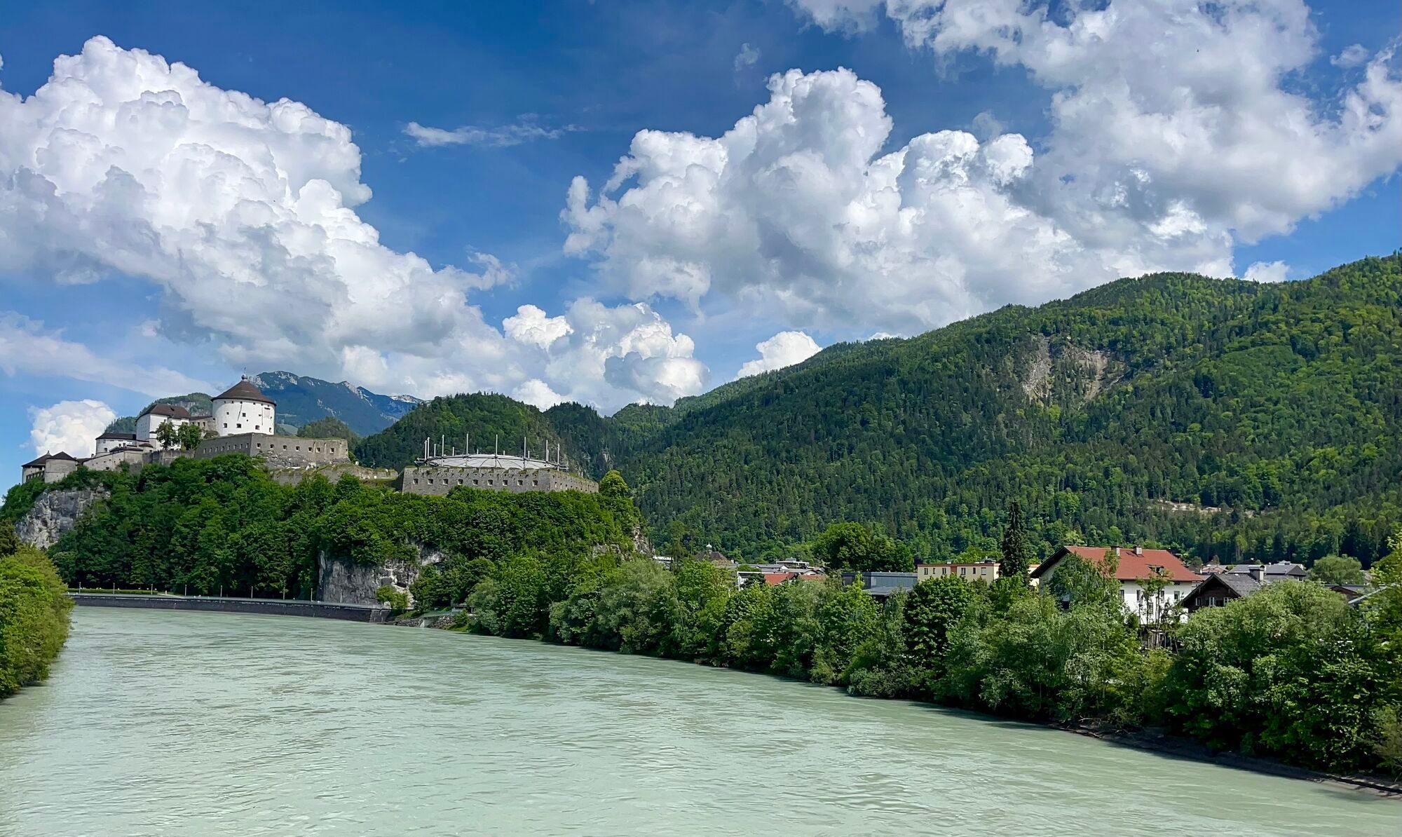
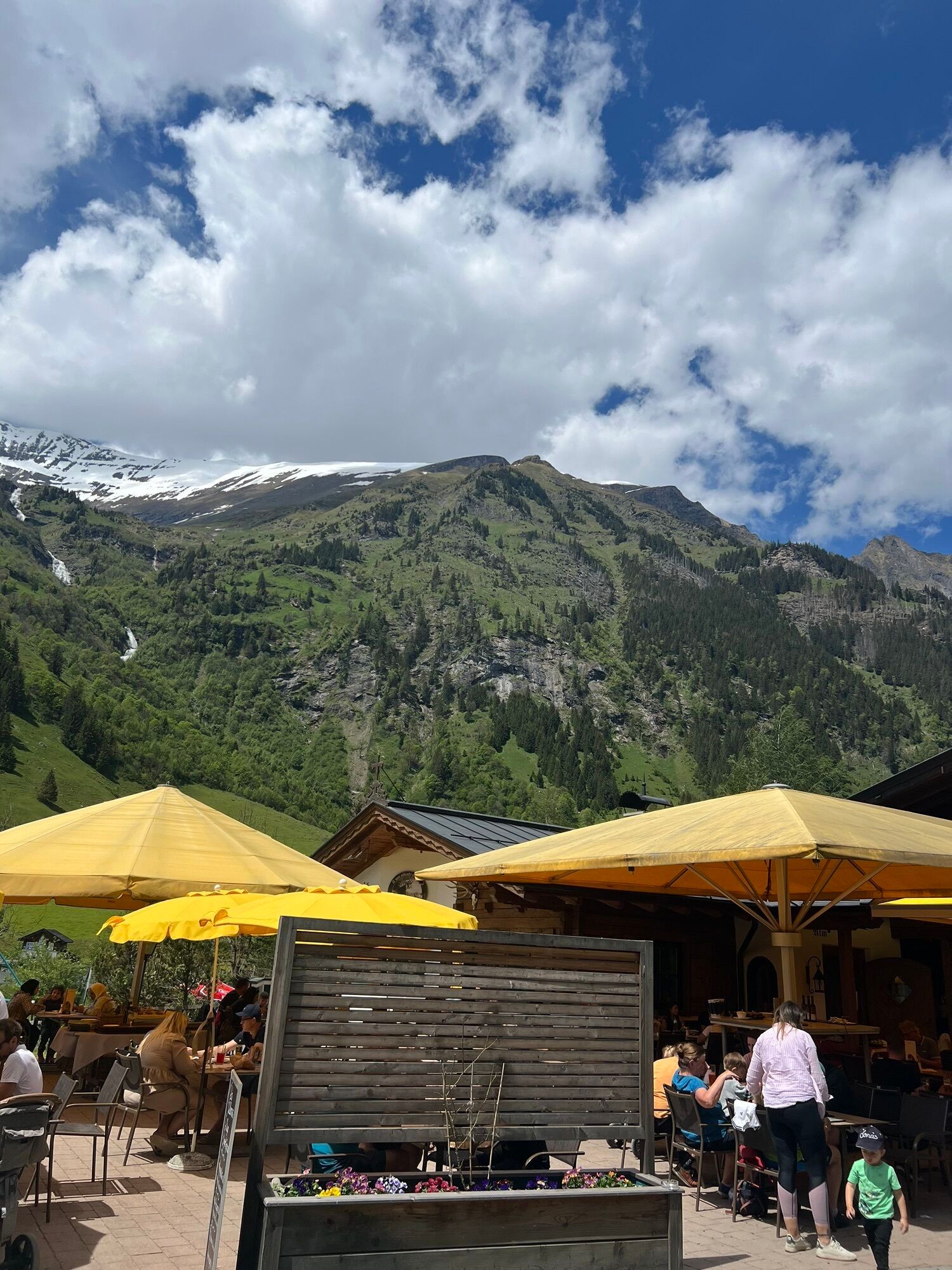
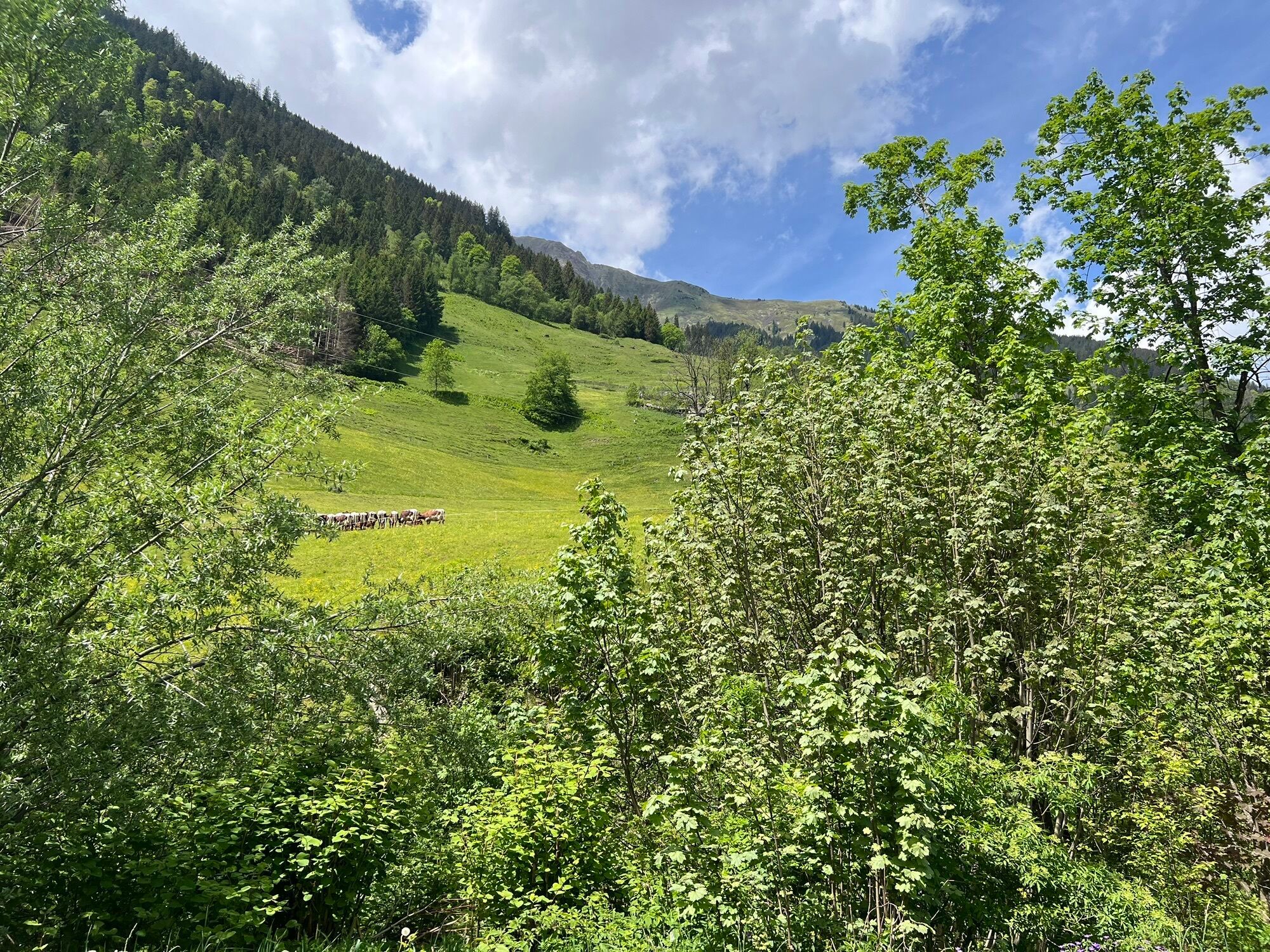
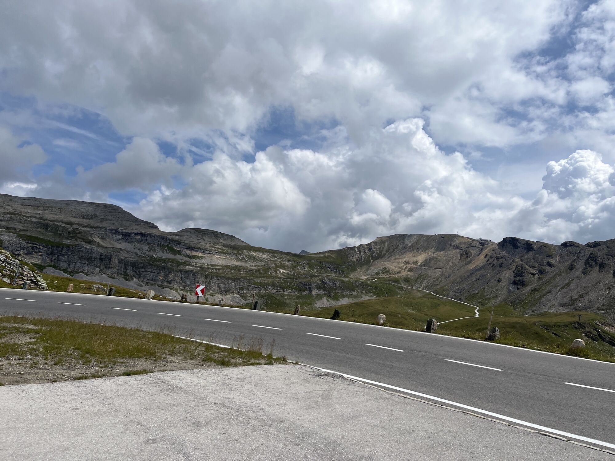
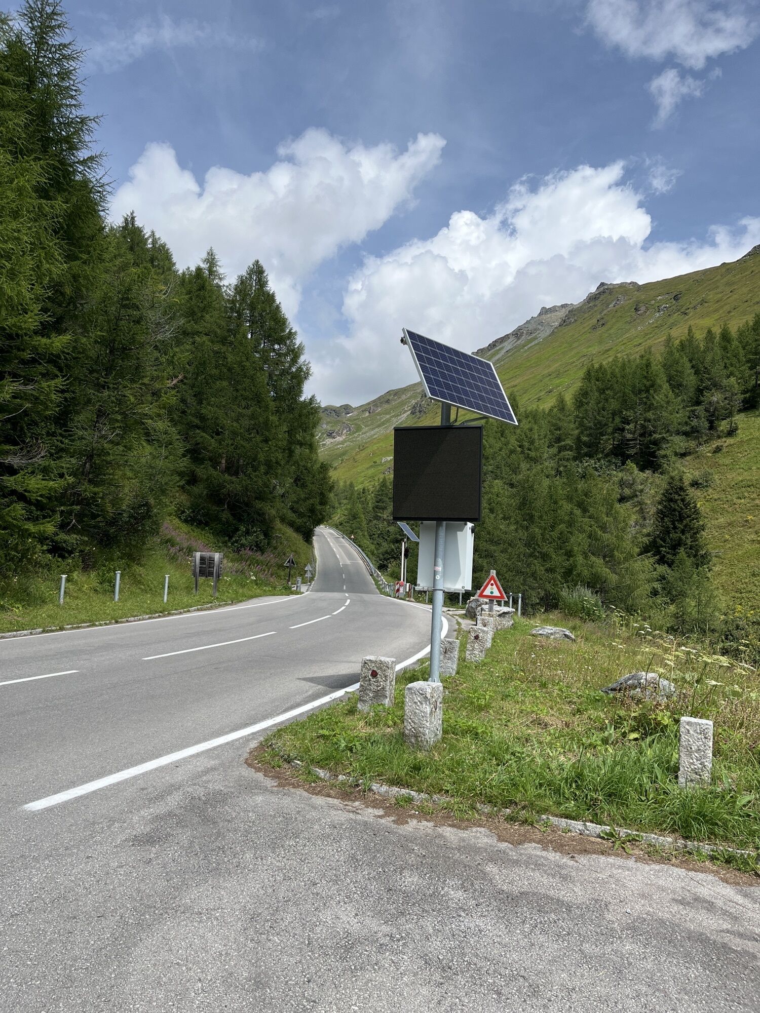
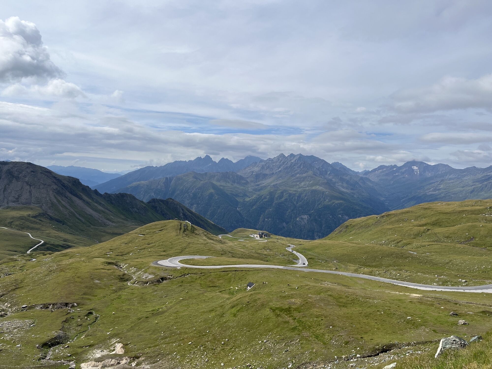
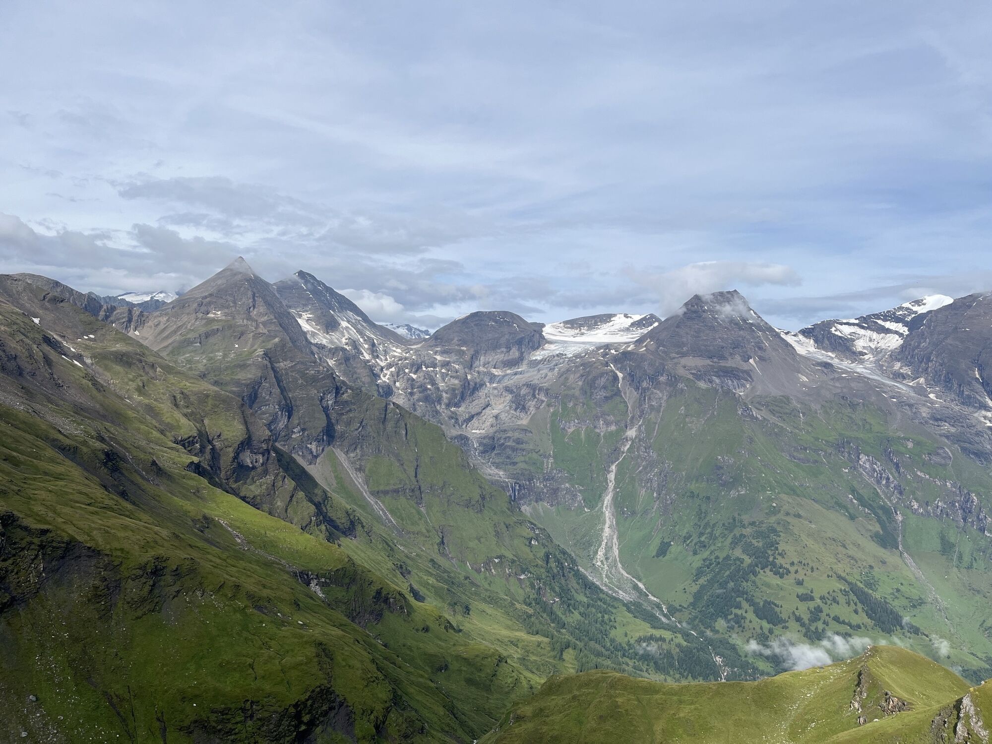
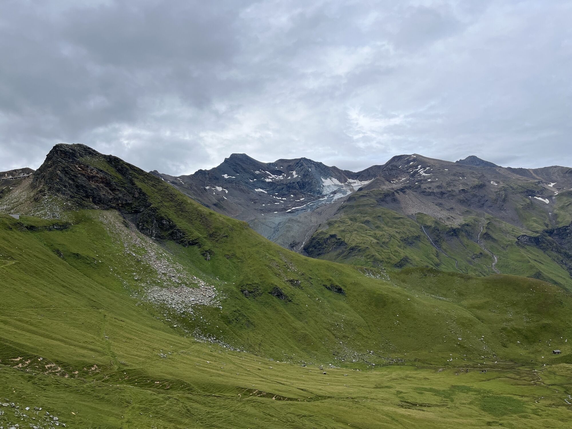
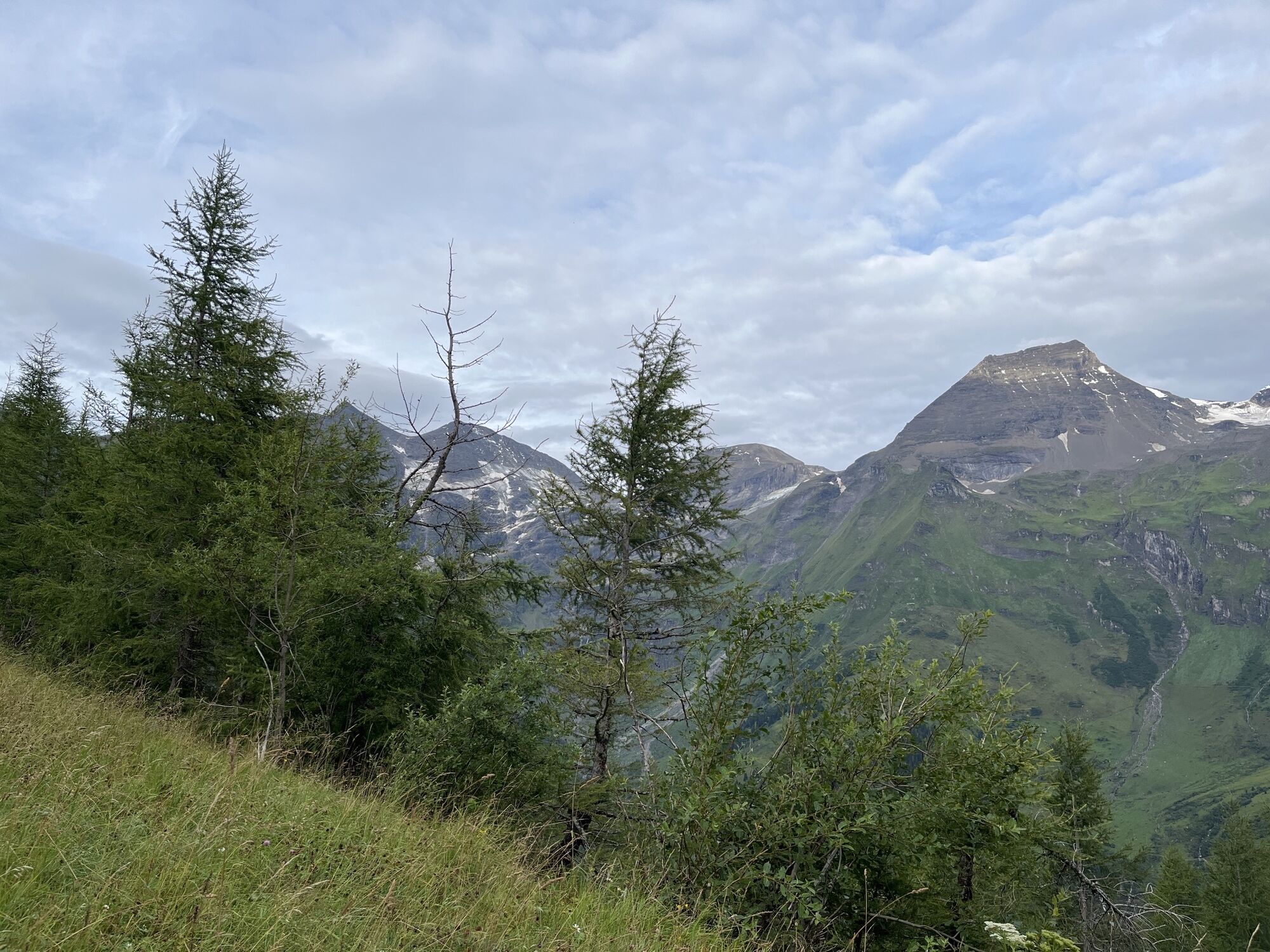
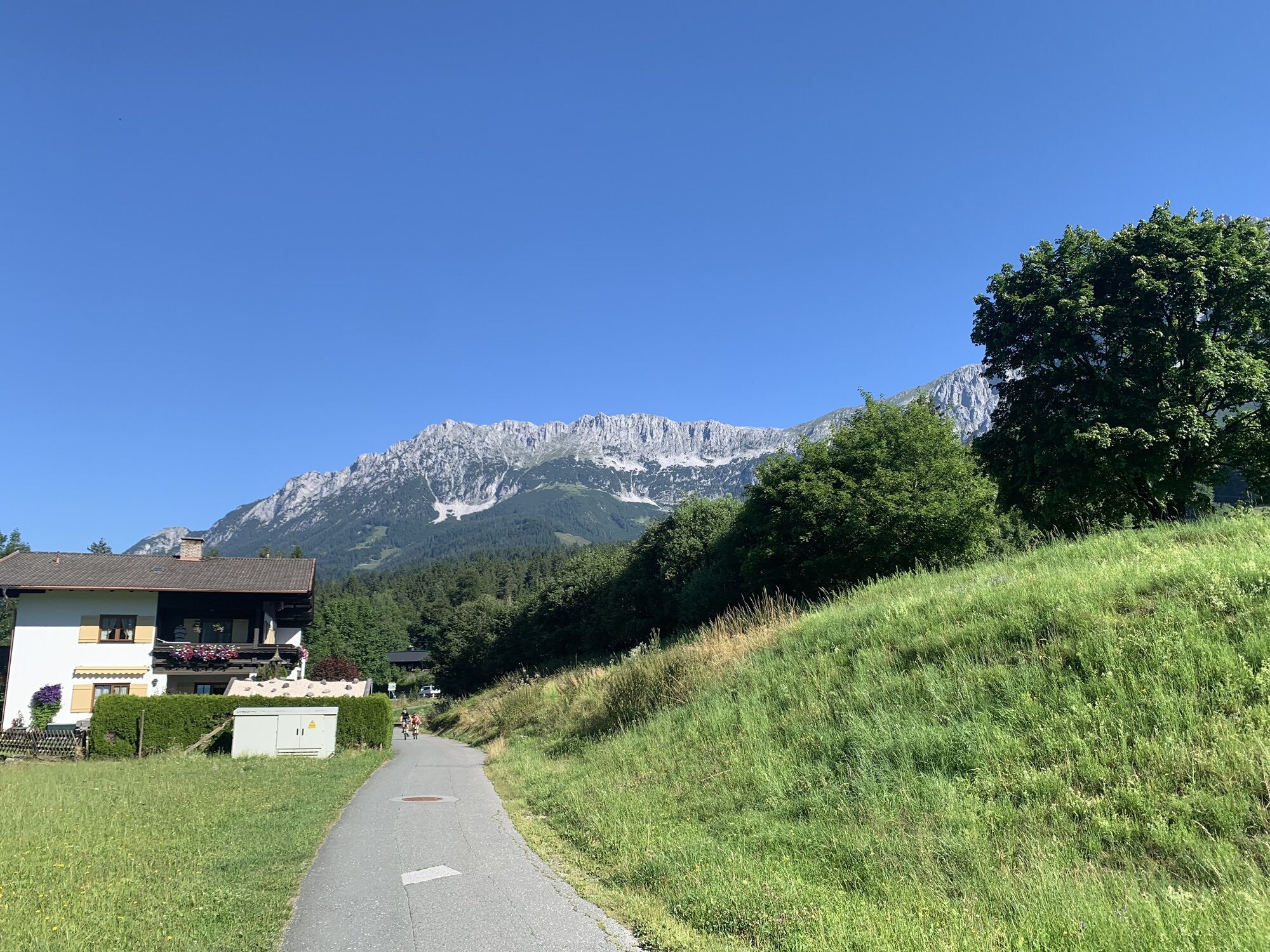
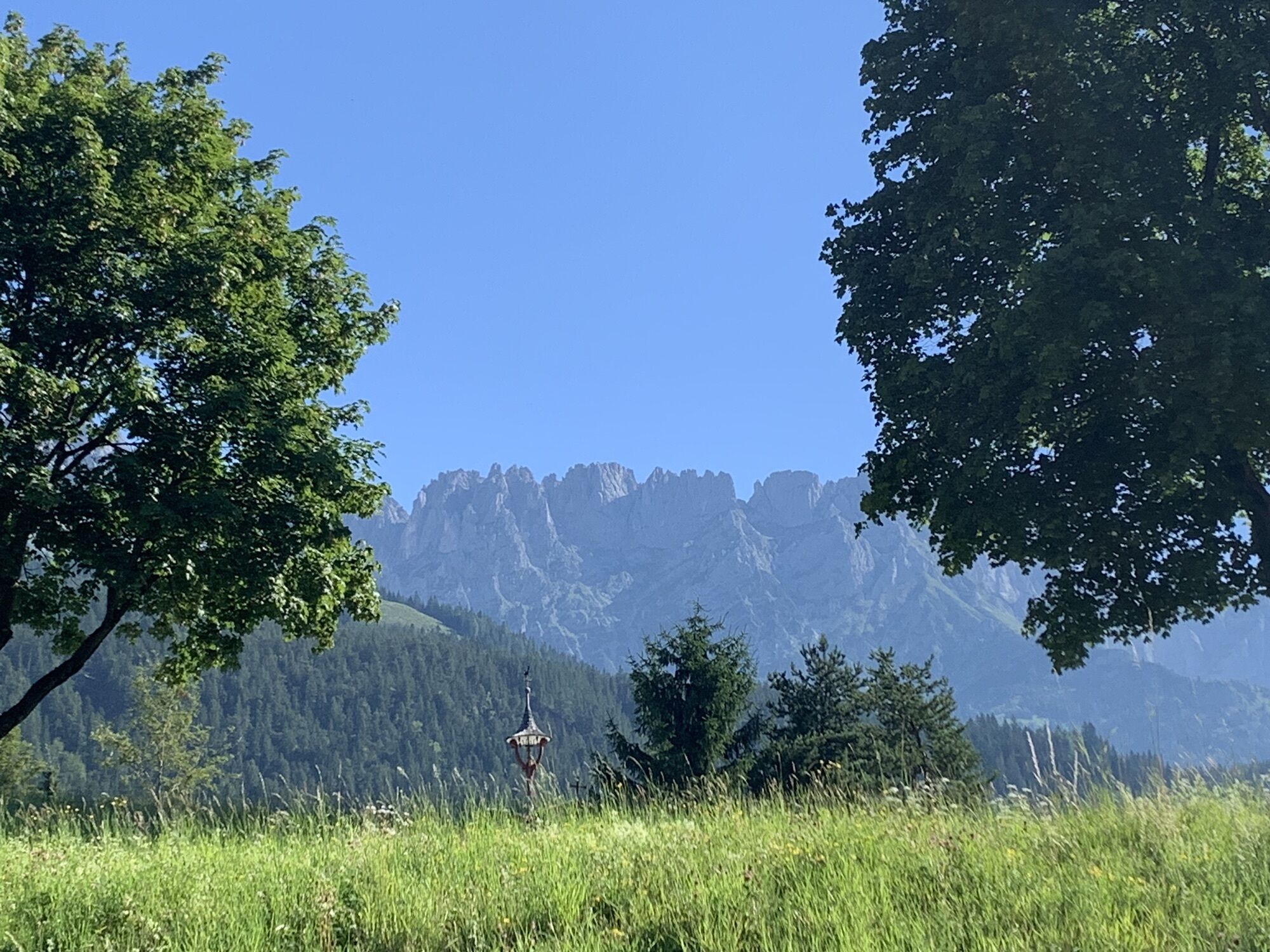
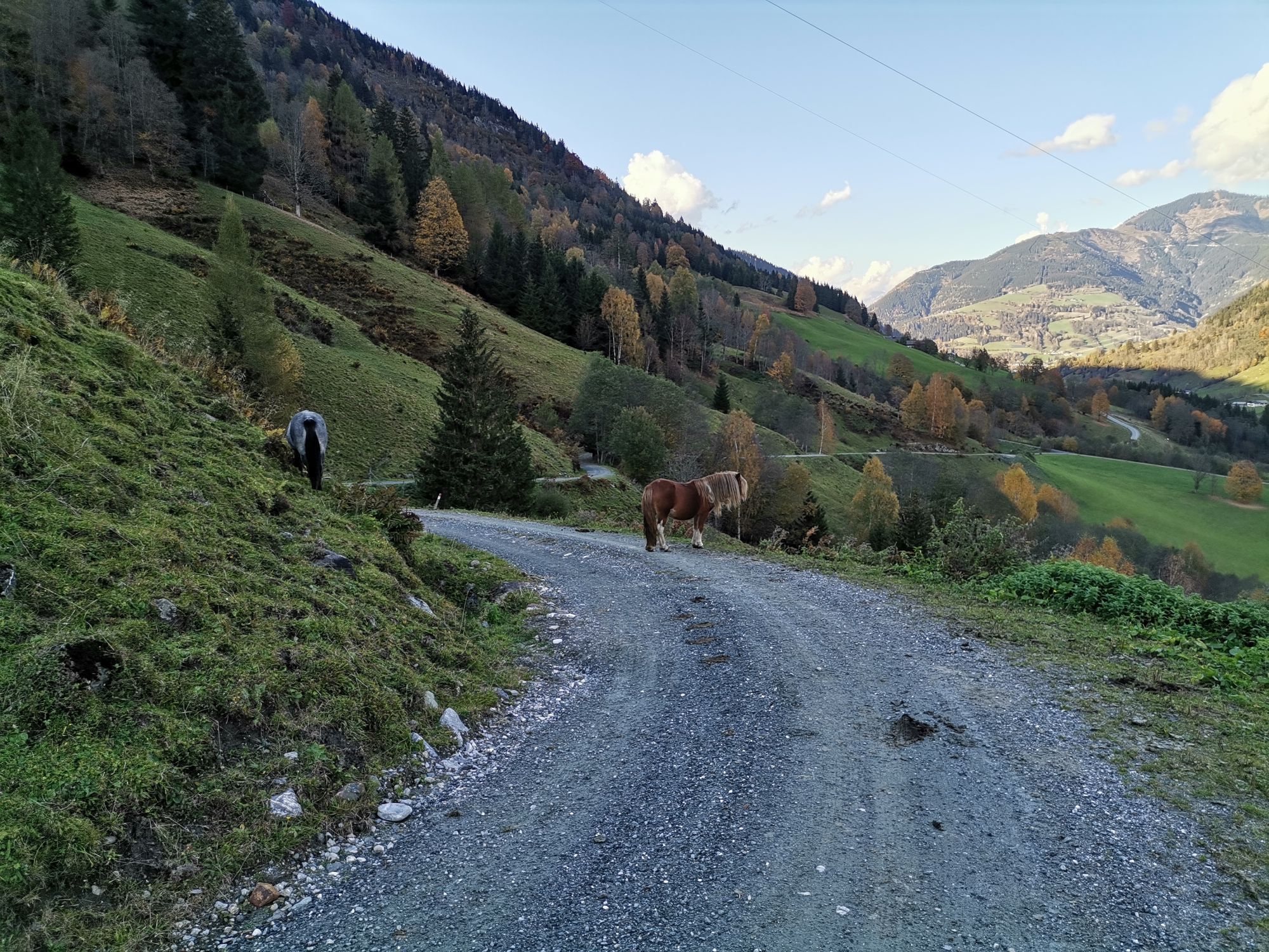
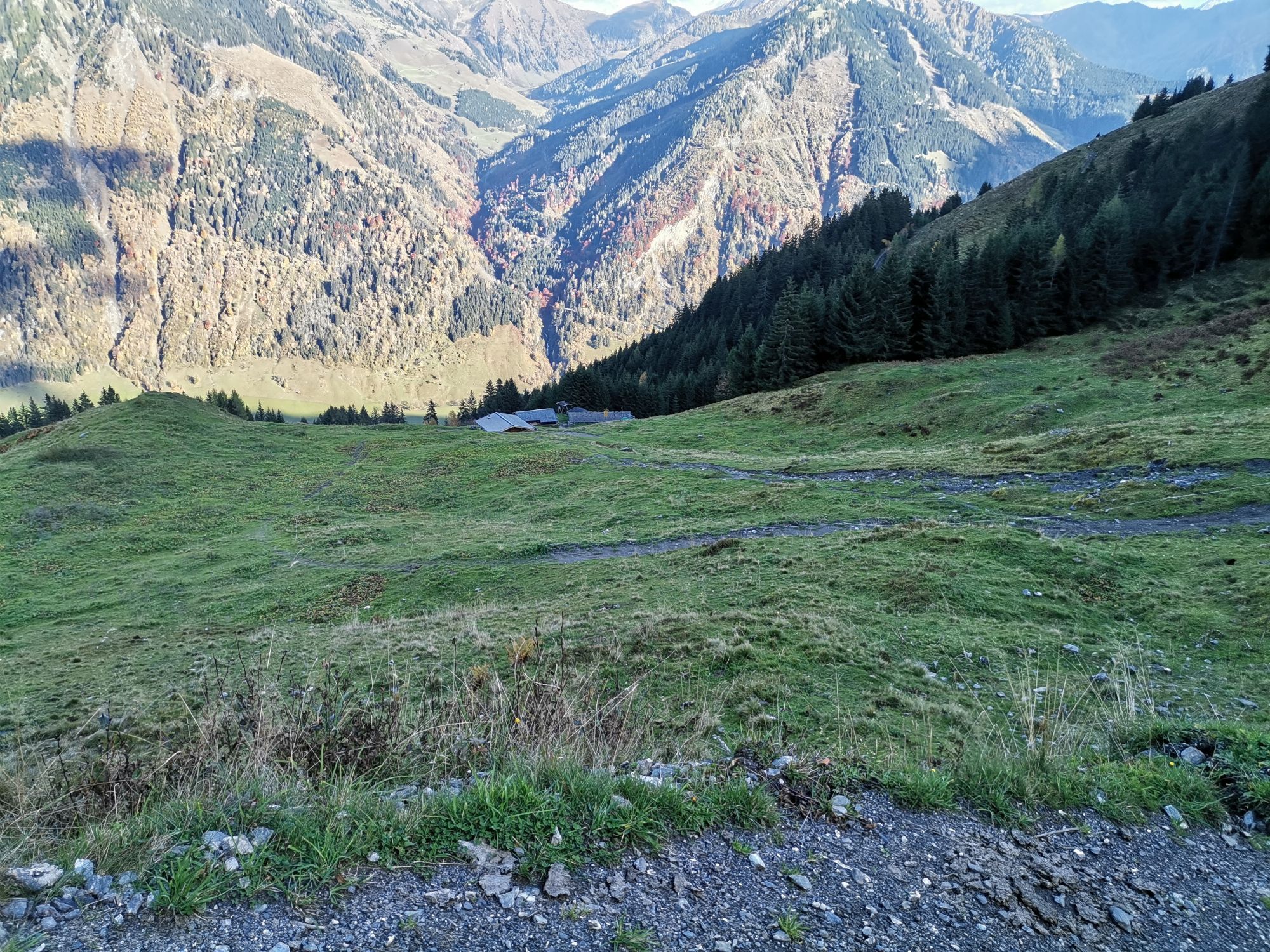
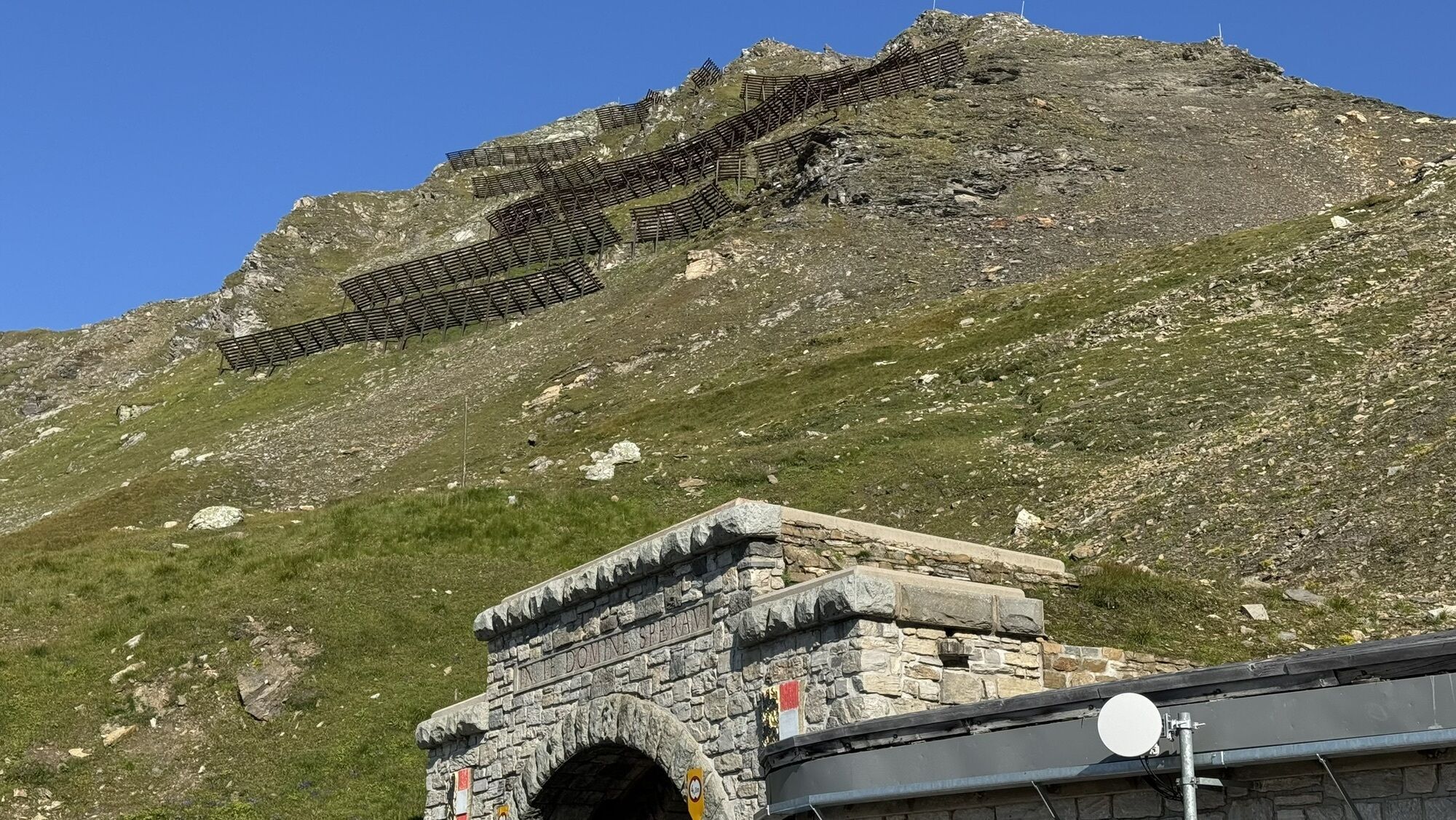
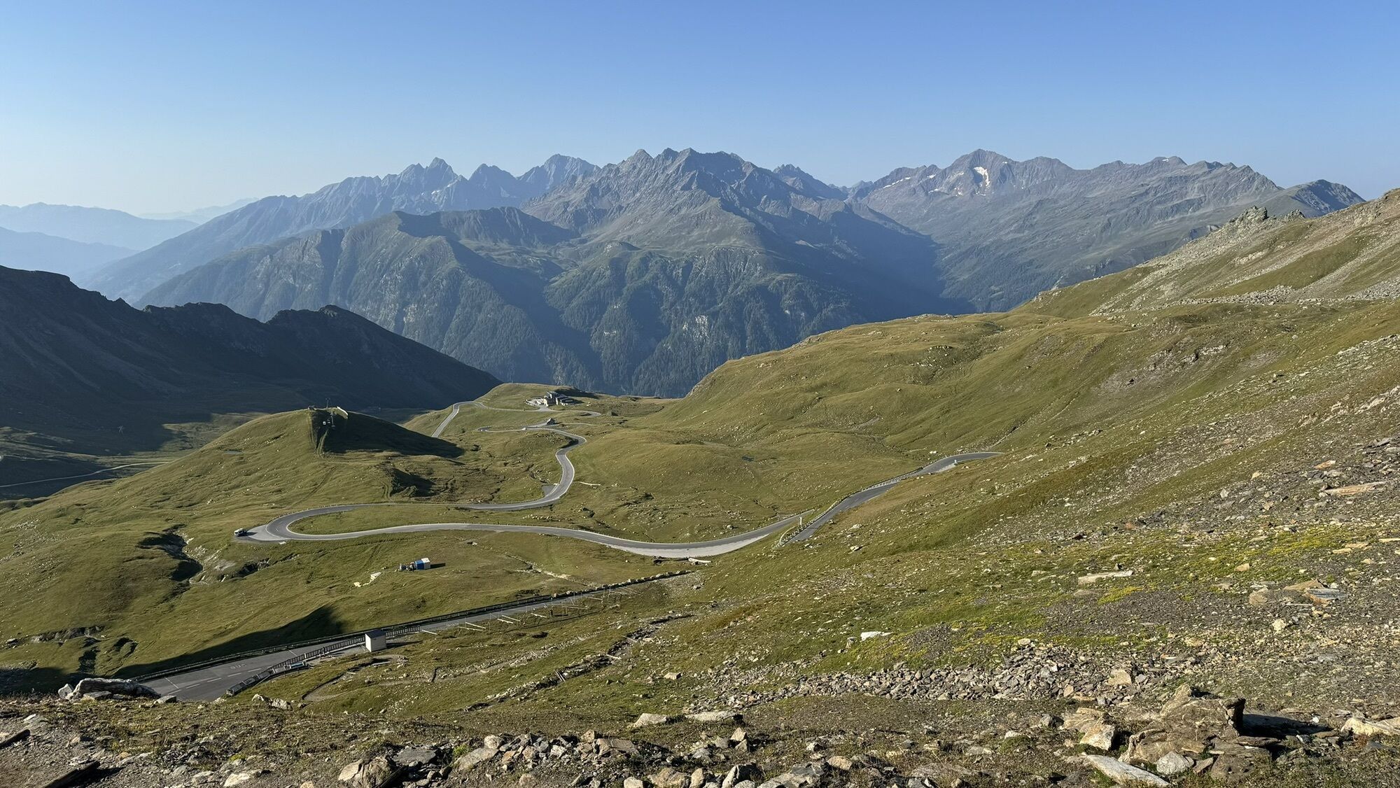
The tour starts from Kufstein via Scheffau to Kitzbühel. Continue via Pass Thurn. Now descend to Mittersill, heading to Zell am See and on the flat section to Fusch. Having reached the high alpine road...
The tour starts from Kufstein via Scheffau to Kitzbühel. Continue via Pass Thurn. Now descend to Mittersill, heading to Zell am See and on the flat section to Fusch. Having reached the high alpine road your muscles burn during the continuous 15% gradient. From the summit, proceed on a sharp descent into the valley and less steeply to the Iselsberg Pass, where you’ll climb 300 metres up again. Now down to Lienz in Drautal. Then, 1000 metres of climbing and 30 kilometres later you reach the Felbertauern tunnel. Use the bus shuttle service. After the descent to Mittersill, do the last climb to Pass Thurn. All you have to do now is roll down to Kitzbühel and back to Kufsteinerland.

Cycling helmet, comfortable cycling clothing, change of clothes, wind protection, cycling gloves, possibly rucksack with water bottle and food, first aid equipment, possibly service/repair kit, cycling map, tour description and information material (GPX track), ID card, insurance card, cash
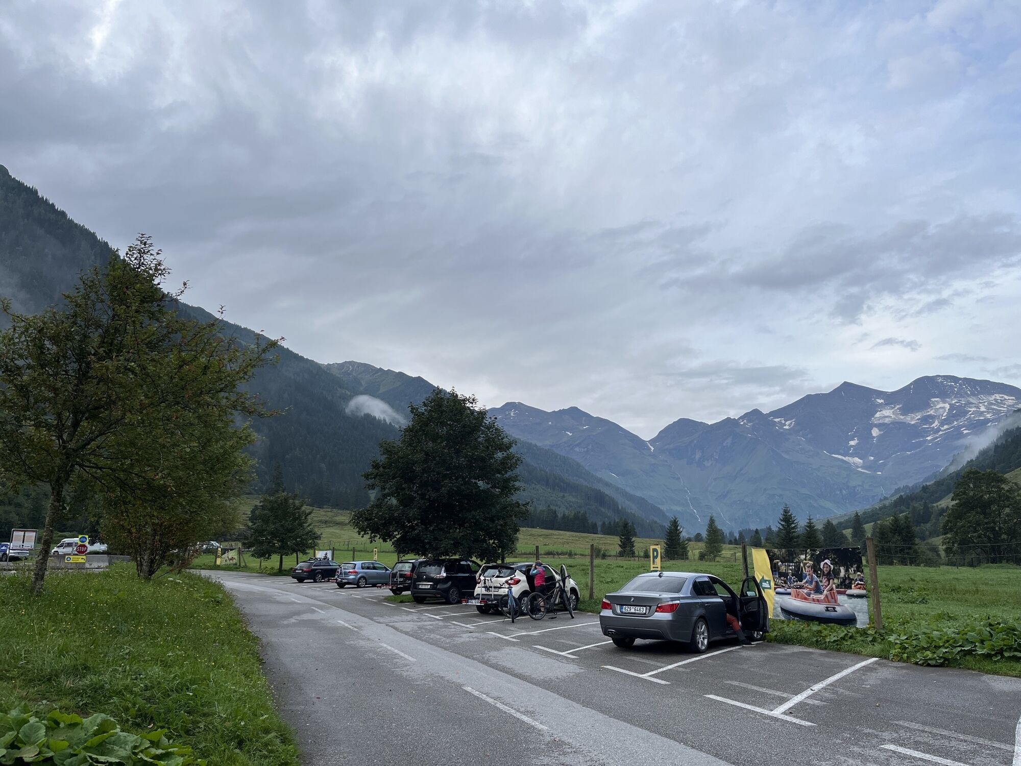
From the Inntal motorway A12, take the Kufstein Nord exit.
Kufstein main railway station is only a few minutes' walk from the starting point.
Kufstein centre
Obľúbené výlety v okolí
-
4,9
Wangennitzsee Hütte
strednáTuristika 3,80 km -
5,0
Ederplan round from the parking lot Stronach
strednáTuristika 7,19 km -
4,8
Hohe Sonnblick Up
ťažkéTuristika 9,14 km -
4,8
Glödis 3206m: PP Seichenbrunn, Lienzer Hütte, Glödis KS A/B
ťažkéVysoké turné 16,1 km -
4,9
Schareck über Ostgrat
ťažkéVysoké turné 13,3 km -
4,3
Böses Weibele, 3119m, Lucknerhaus
ťažkéTuristika 13,8 km -
4,2
Gradental to Adolf Nossberger Hut - circular route
strednáTuristika 11,1 km -
4,7
Lienzer Hütte
svetloTuristika 7,39 km -
4,8
Elberfelderhütte – Langtalseen - circular route
strednáTuristika 27,0 km -
4,9
Astental: Mohar, Moharkreuz
strednáTuristika 9 km
Turistika a stopovanie


Nenechajte si ujsť ponuky a inšpiráciu na ďalšiu dovolenku
Vaša e-mailová adresa bol pridaný do poštového zoznamu.





