


Snowshoe Trail Bielefelder Hut 03


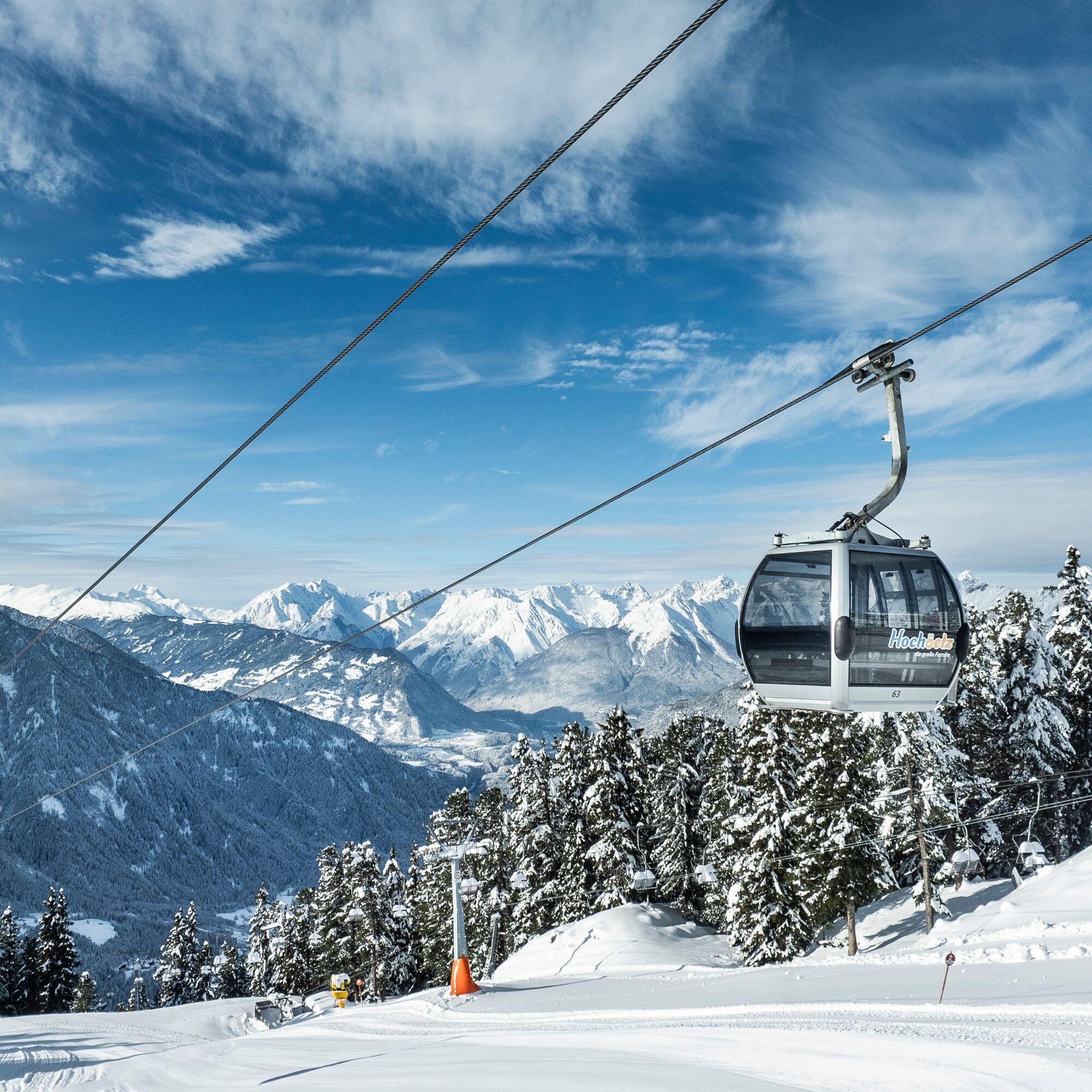
You take the Acherkogelbahn up to the Hochoetz ski area. The beautiful, signposted snowshoe trail starts below the panoramic restaurant (2020 m) heading towards "Rotes Wandl". From there, the trail first...
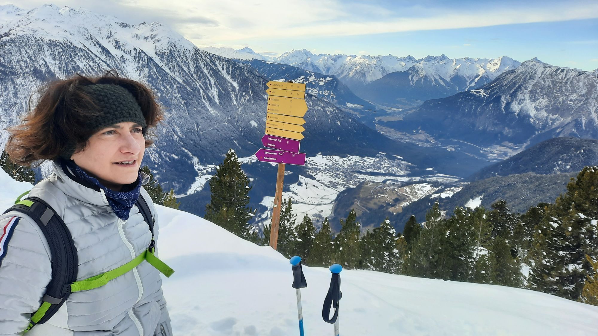
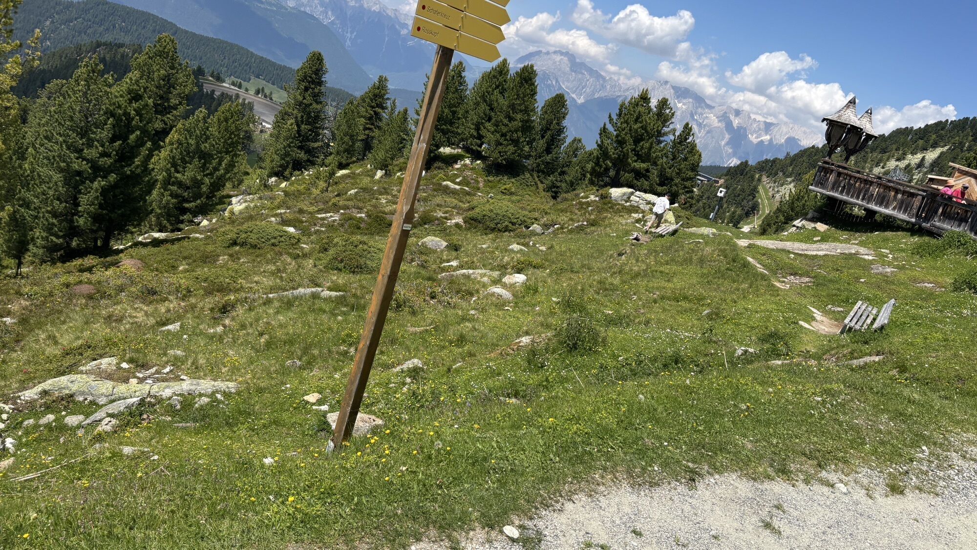
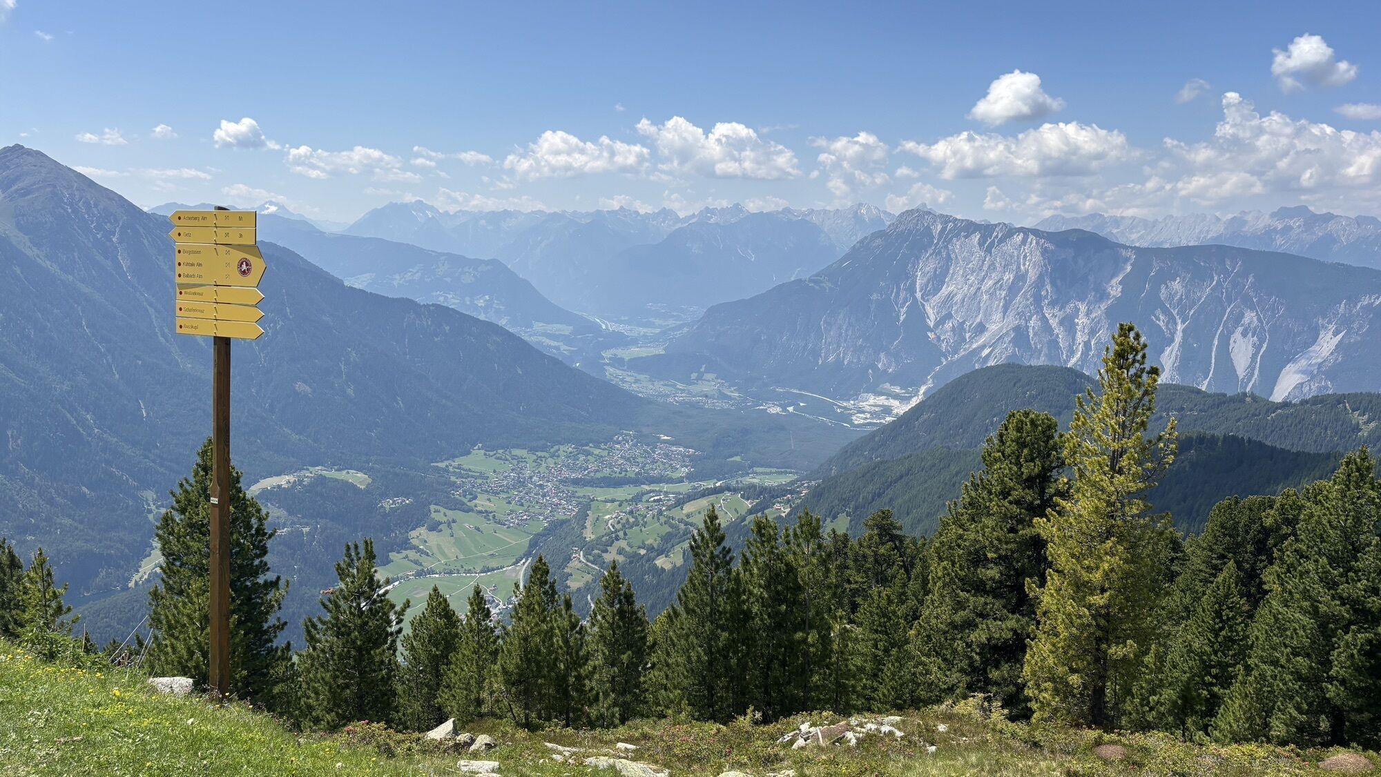
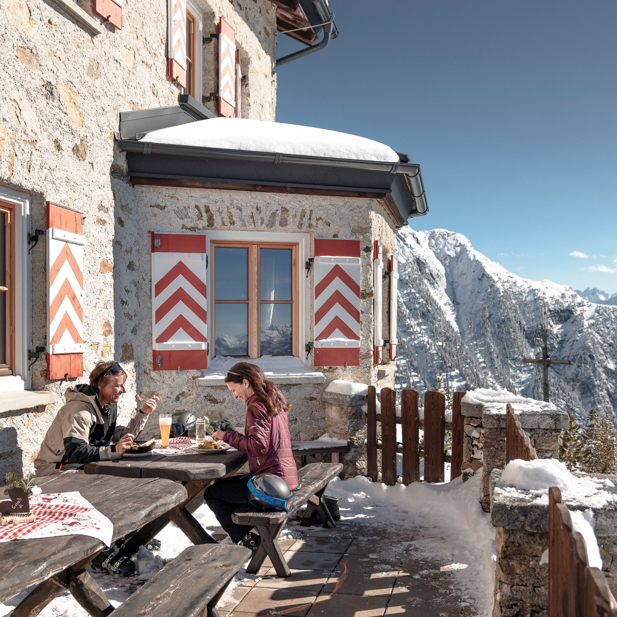
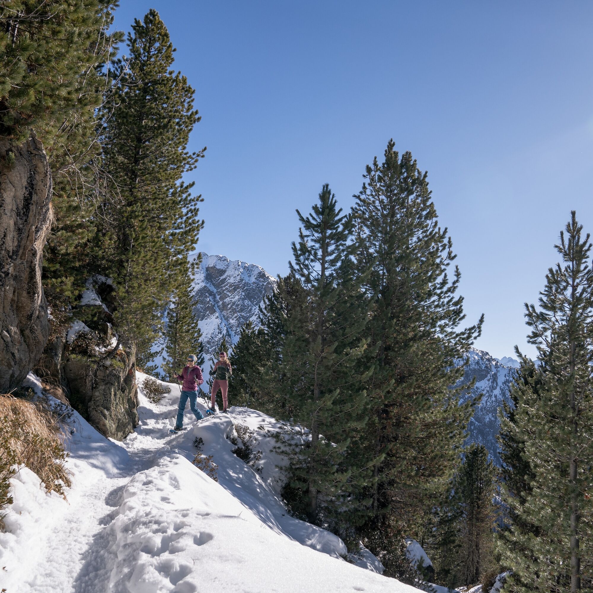
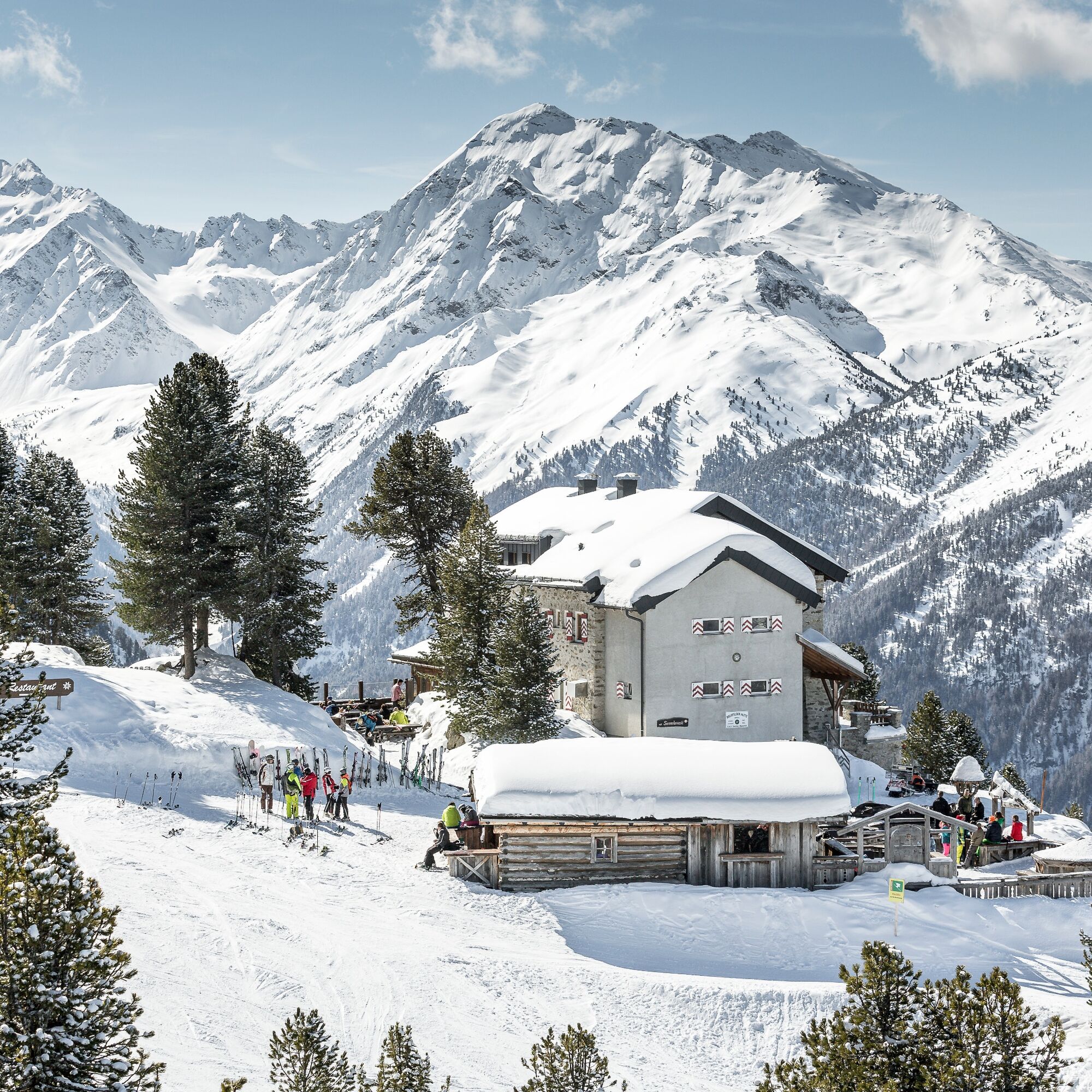
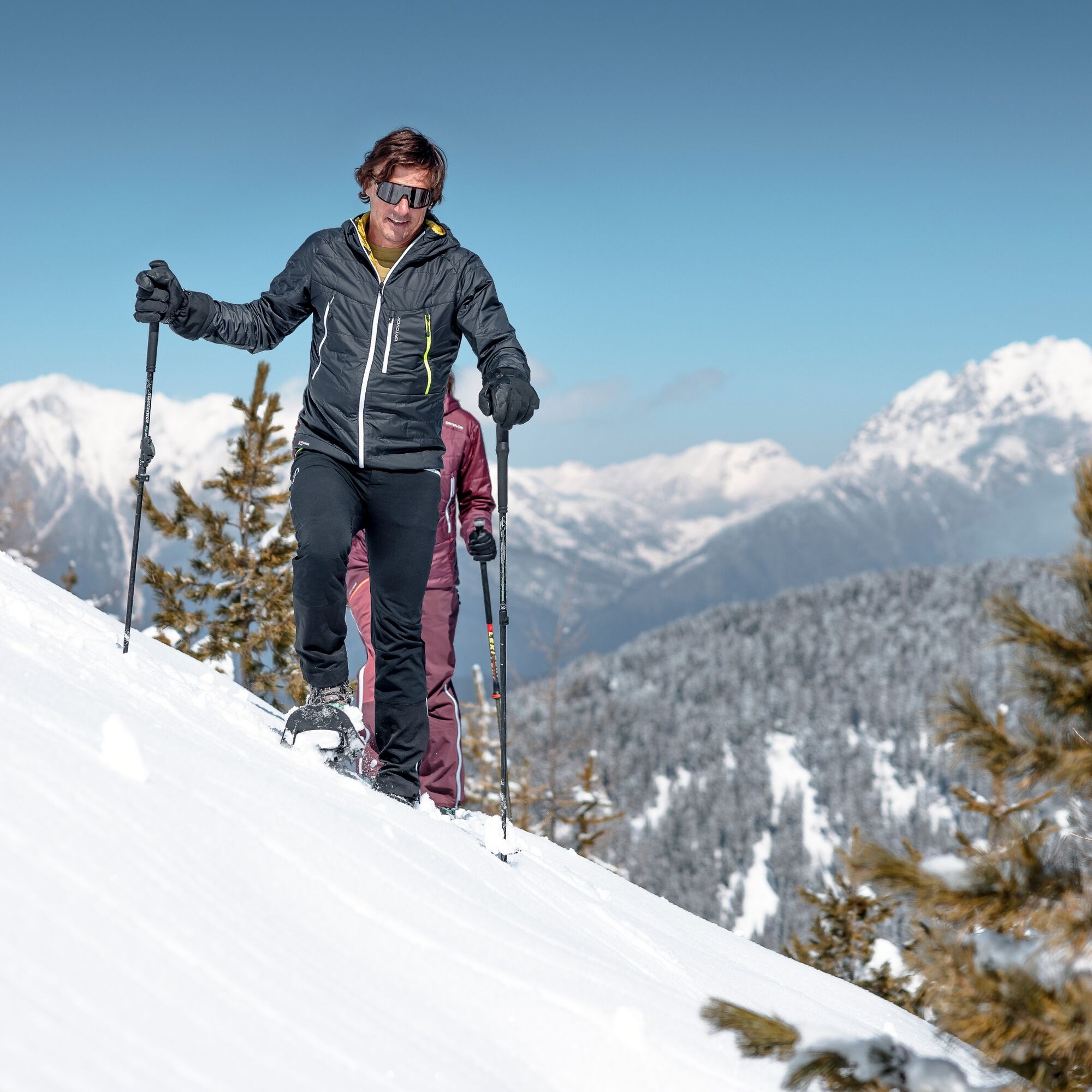
You take the Acherkogelbahn up to the Hochoetz ski area. The beautiful, signposted snowshoe trail starts below the panoramic restaurant (2020 m) heading towards "Rotes Wandl". From there, the trail first descends steeply, then more gently, always away from the piste through the forest, and then crosses below the Brunnenkopflift through the snowy winter forest to the Acherkogelblick viewing platform. The impressive view of the Acherkogel invites you to linger. The next part of the snowshoe trail becomes more challenging and requires some snowshoeing experience. After about 1 km and 170 m of elevation gain, you reach the Bielefelder Hut, where you can relax, enjoy the view, and regain strength with a Kaiserschmarrn. For the descent, follow the somewhat steeper path that leads right from the hut down until you reach the starting section of the route and then follow it back to the Acherkogelbahn.


You take the Acherkogelbahn up to the Hochoetz ski area. The beautiful, signposted snowshoe trail starts below the panoramic restaurant (2020 m) heading towards "Rotes Wandl". From there, the trail first descends steeply, then more gently, always away from the piste through the forest, and then crosses below the Brunnenkopflift through the snowy winter forest to the Acherkogelblick viewing platform. The impressive view of the Acherkogel invites you to linger. The next part of the snowshoe trail becomes more challenging and requires some snowshoeing experience. After about 1 km and 170 m of elevation gain, you reach the Bielefelder Hut, where you can relax, enjoy the view, and regain strength with a Kaiserschmarrn. For the descent, follow the somewhat steeper path that leads right from the hut down until you reach the starting section of the route and then follow it back to the Acherkogelbahn.
Appropriate equipment such as breathable and weather-appropriate outdoor clothing, wind, rain, snow, and sun protection, a hat and gloves are required for all hikes and routes. Carrying a first aid kit, a mobile phone, and possibly a map, as well as sufficient provisions for routes without refreshment options, is necessary.
Please pay attention to the current snow and avalanche report for the coming days: https://www.oetztal.com/de/winter.html & https://avalanche.report/albina-web/bulletin/2019-01-07?lang=de
Driving to ÖTZTAL. Located in Tyrol, the ÖTZTAL branches southward as the longest side valley of the Eastern Alps. Getting there by car takes visitors through the Inn Valley to the valley entrance and then along the Ötztal. Besides toll highways, secondary roads can also be used. With the route planner, you can quickly and conveniently determine your trip: To the route planner: www.google.at/maps
Travel comfortably and safely by train to Ötztal station. At the station, you will find public transport or local taxi services happy to take you to your desired destination! The current bus schedule can be found at: http://fahrplan.vvt.at
Parking options available:
Parking lot at Acherkogelbahn (fee required)
Parking lot at rafting entry point (at the town exit of Oetz on the right side) (fee required)
Oetz town center parking (fee required)
Overnight parking during multi-day tours: Oetz town center parking, tickets available at the Oetz information office.
www.oetz.com
Very beautiful snowshoe trail in great winter landscape, lots of sunshine, and 3 highlights!
Webové kamery z prehliadky
Obľúbené výlety v okolí
-
4,5
Oetz - Piburger See - Oetz
strednáTuristika 7,16 km -
4,6
Summit route Faltegartenköpfl
strednáTuristika 4,04 km -
4,2
Hike Stuibenfall - Umhausen
svetloTuristika 2,95 km -
4,4
Stuibenfall Umhausen circular hike
svetloTuristika 9,32 km -
5,0
Larstigalm - Niederthai
svetloTuristika 3,24 km -
4,8
Faltegartenköpfl (01)
svetloSkitour 4,19 km -
4,7
Umhausen - Stuibenfall - Umhausen
strednáTuristika 7,94 km -
4,6
Summit route Weather Cross from Hochoetz
strednáTuristika 3,06 km -
3,7
Auerklamm
strednáTuristika 3,46 km -
5,0
"Miners trail"
strednáTuristika 10,8 km
Turistika a stopovanie


Nenechajte si ujsť ponuky a inšpiráciu na ďalšiu dovolenku
Vaša e-mailová adresa bol pridaný do poštového zoznamu.