






Auerklamm
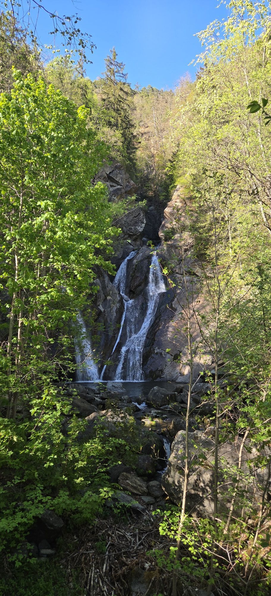
The hike does not go through the gorge but around it. The Auer Klamm is one of the most popular routes for canyoning in the Tyrolean Oberland. At many points, you can look down to the stream and besides...
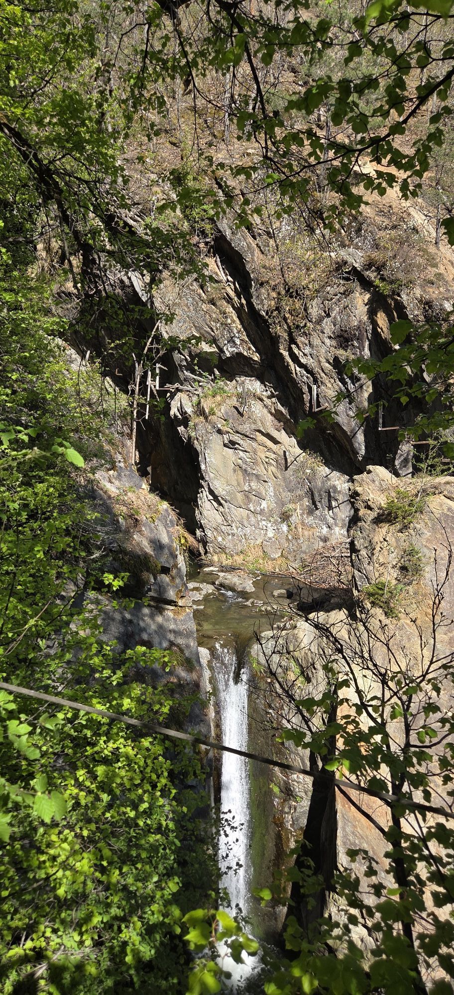
The hike does not go through the gorge but around it. The Auer Klamm is one of the most popular routes for canyoning in the Tyrolean Oberland. At many points, you can look down to the stream and besides beautiful waterfalls, you sometimes see daring athletes rappelling or jumping.
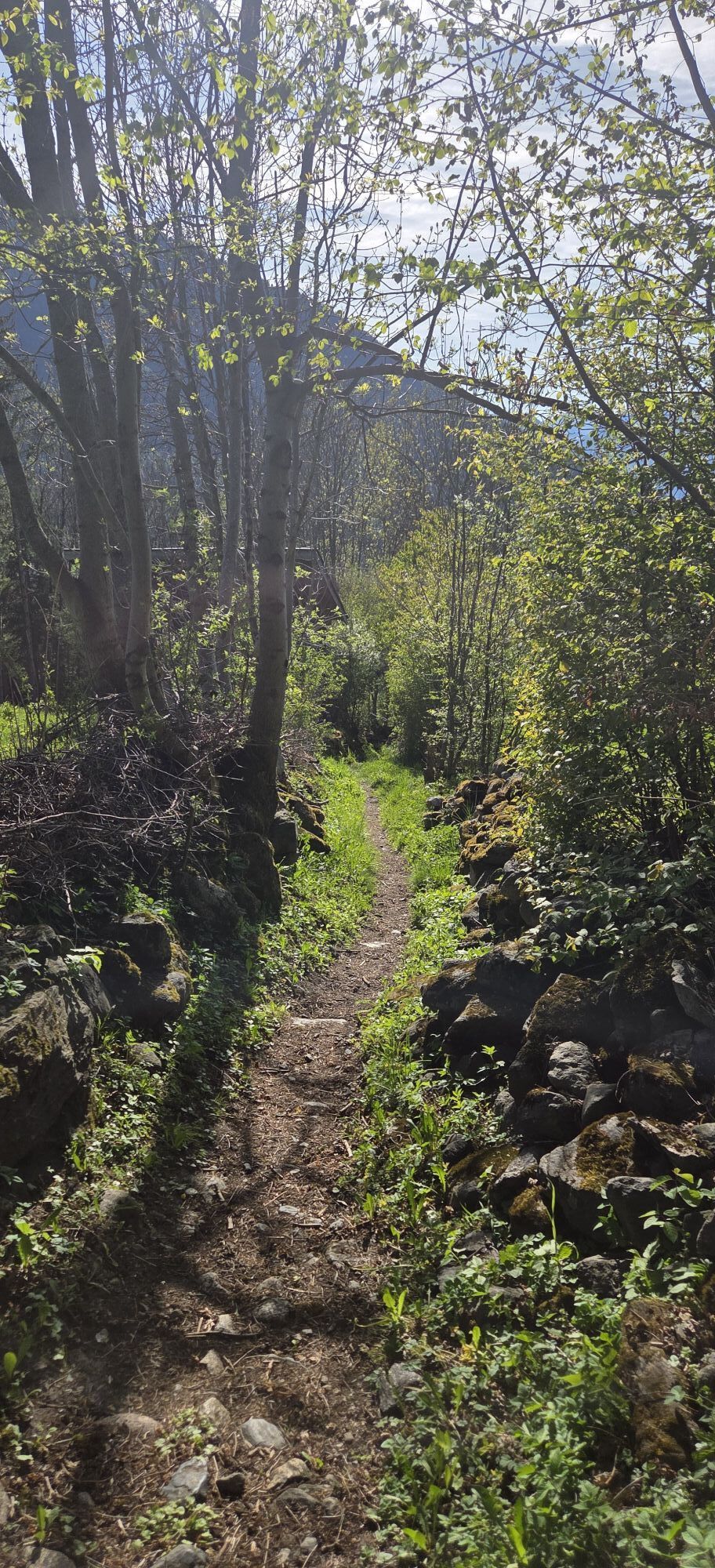
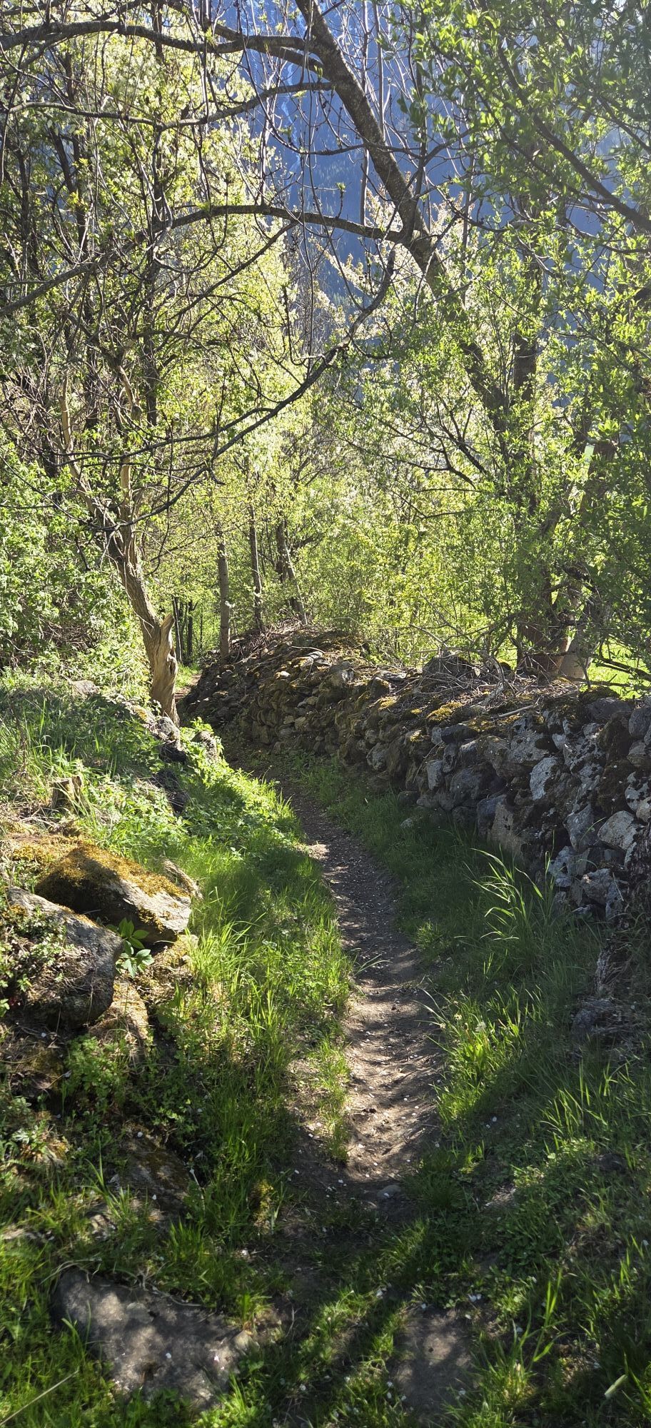
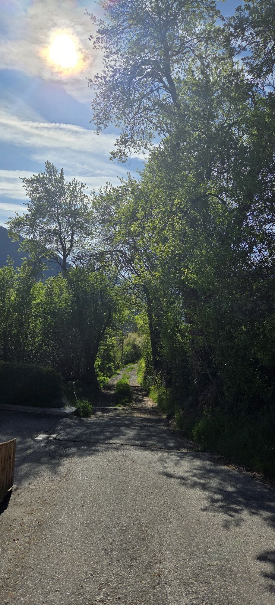
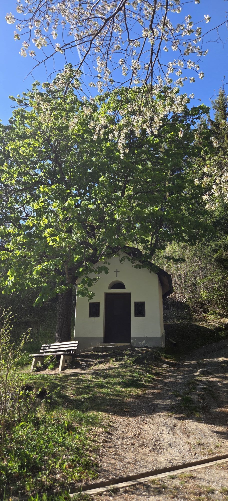
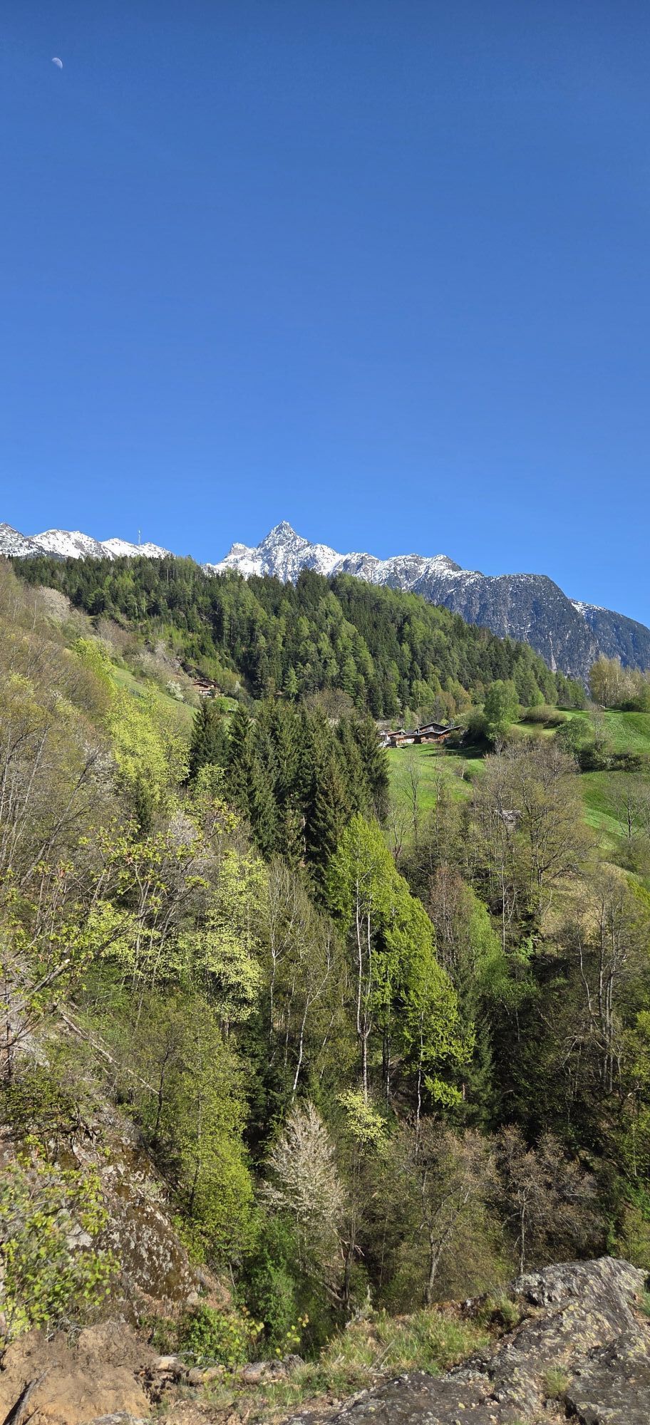
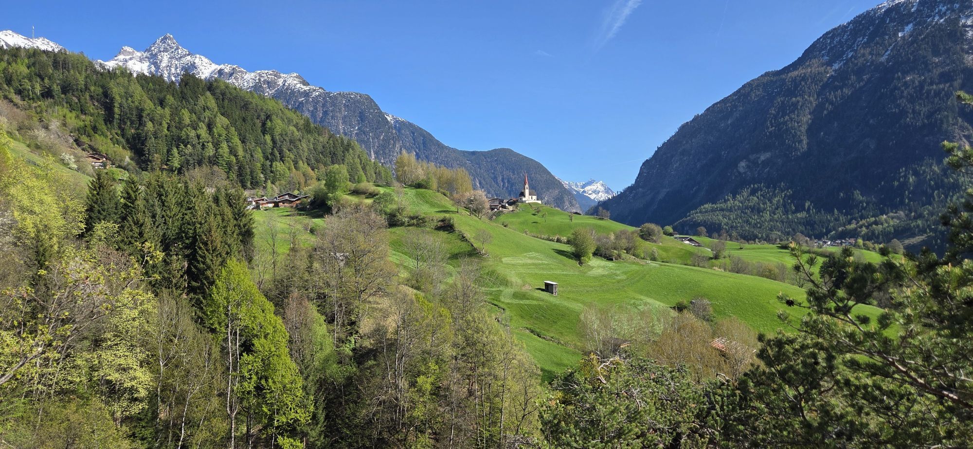
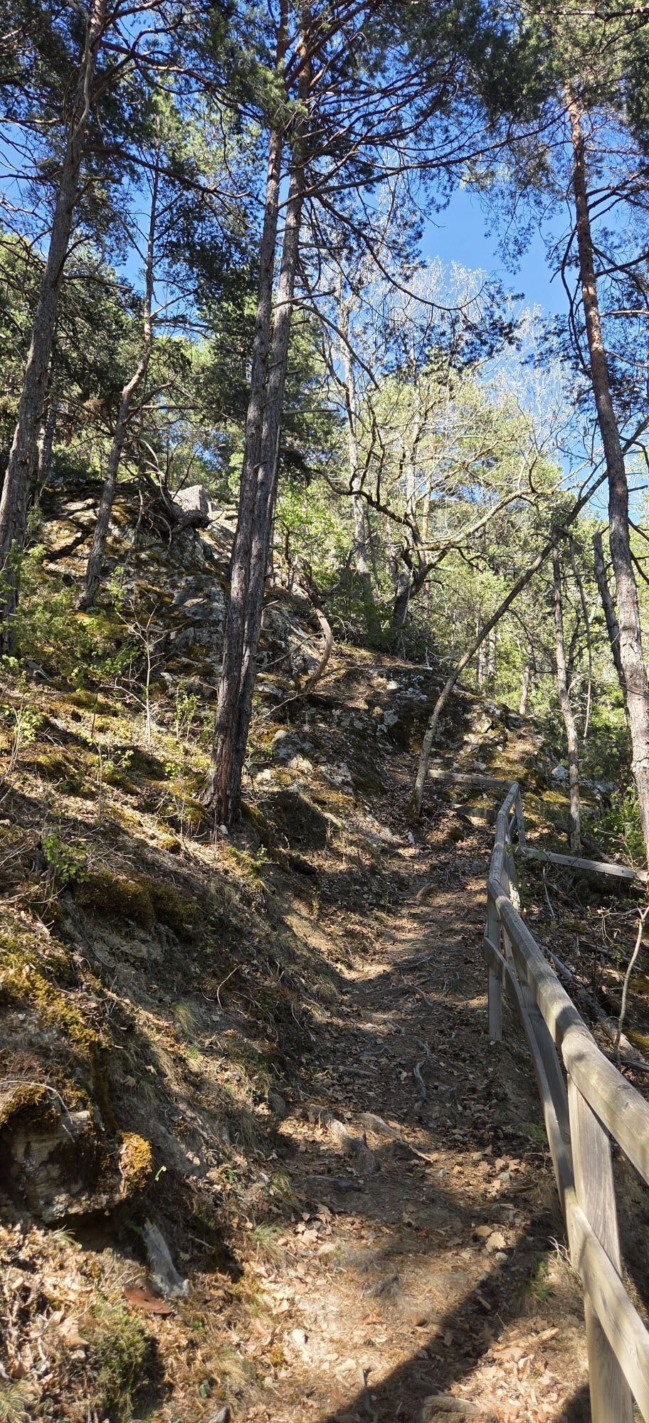
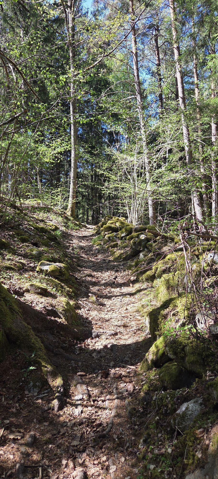
At the Ambach Infopoint, cross the street. The path to the Auerklamm begins immediately on the right. A beautiful hiking trail leads through the forest up to a great viewpoint. At the forest edge, particularly attentive hikers can still see the remains of the foundations of the ruin of Auenstein castle. This castle was built around 1200 and marked the important trade route into the Sellrain valley. Afterwards, you cross a wooden bridge to the district of Taxegg and continue to Oetzerau. There you can visit the Antonius Church. The return route goes steeply down on the other side of the gorge. In the district of Ebene, cross the stream and return to the starting point.

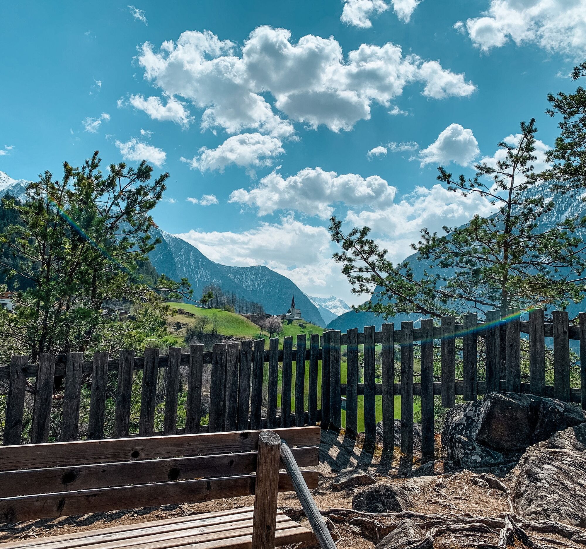
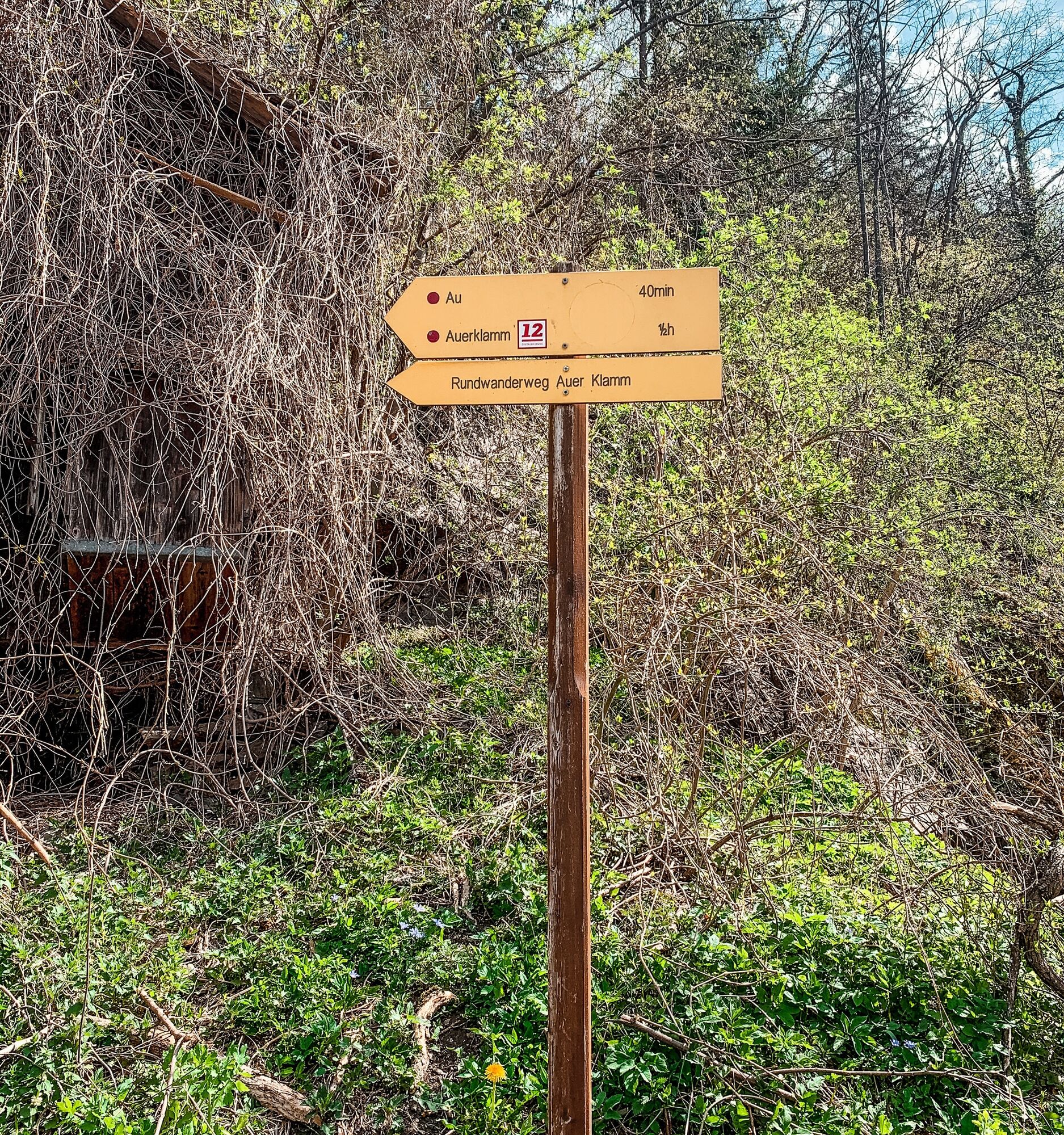
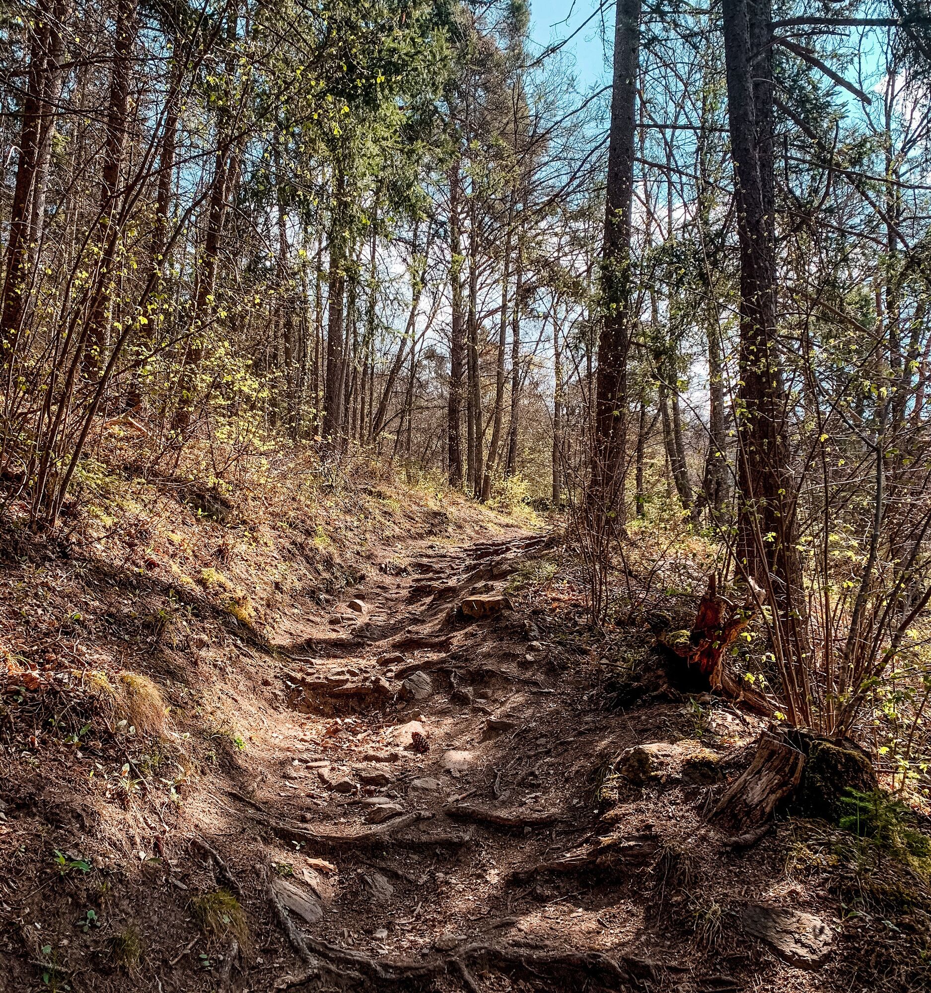
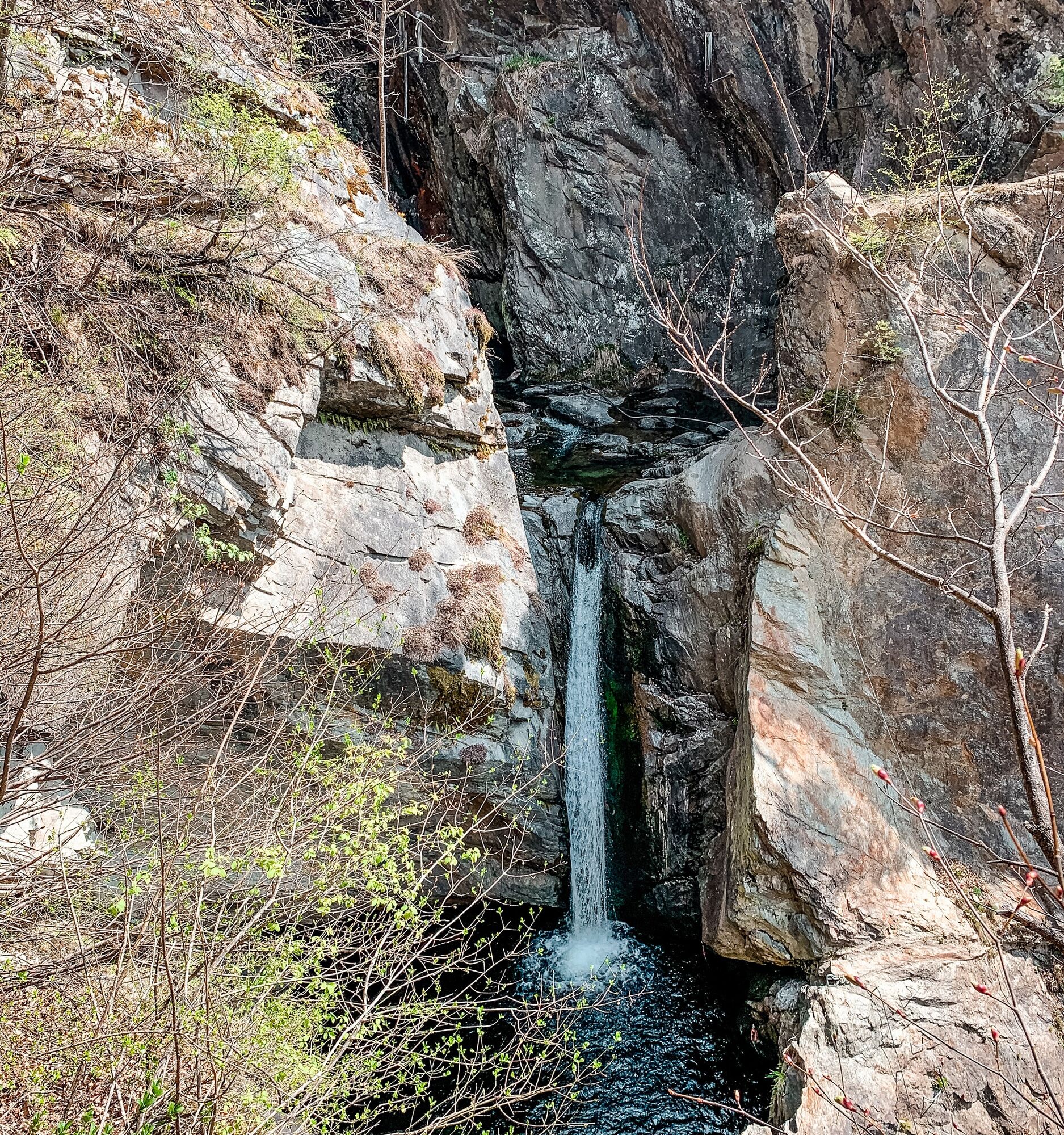
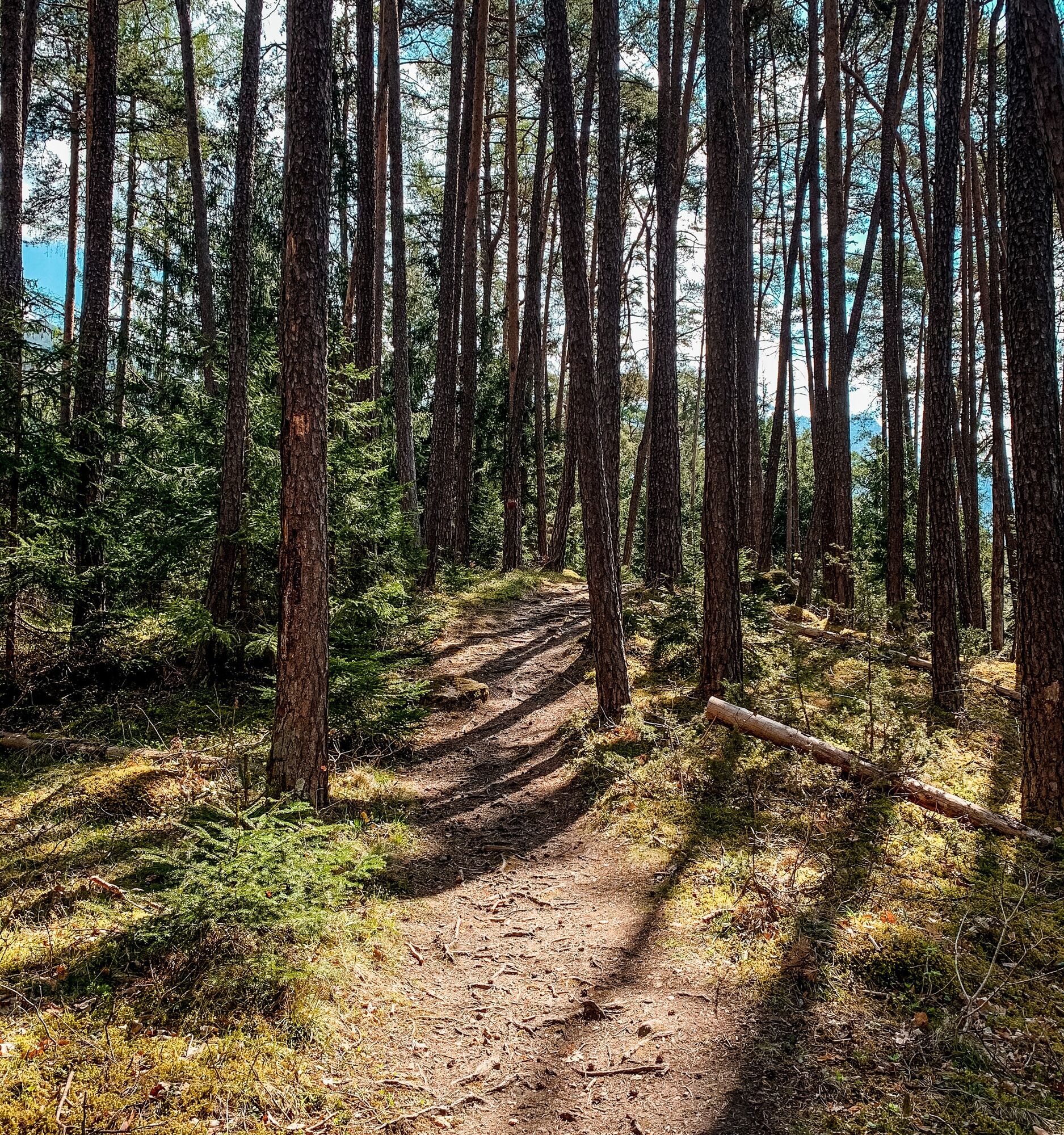
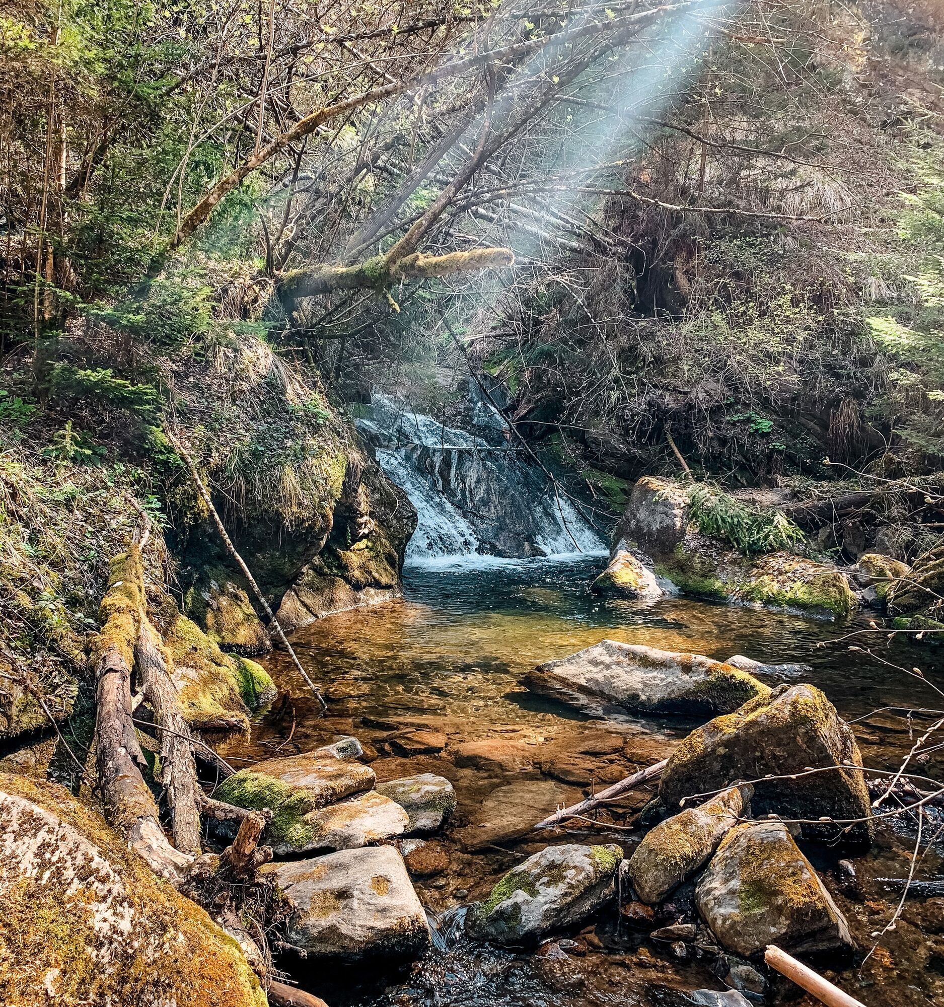
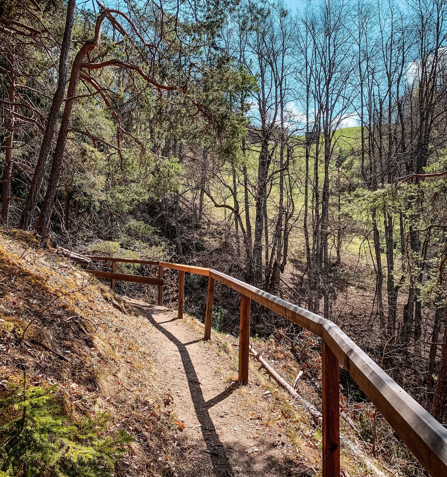
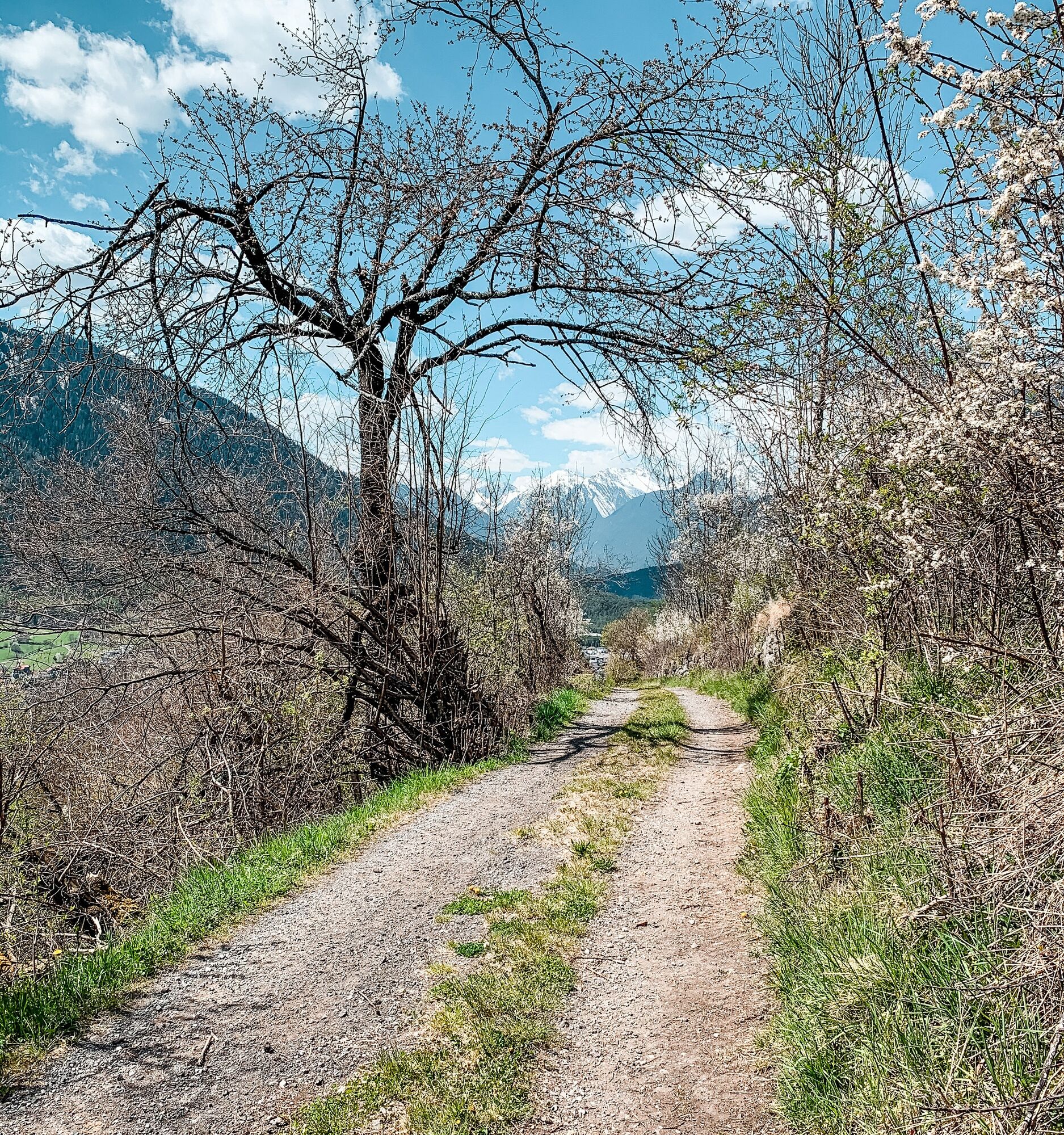
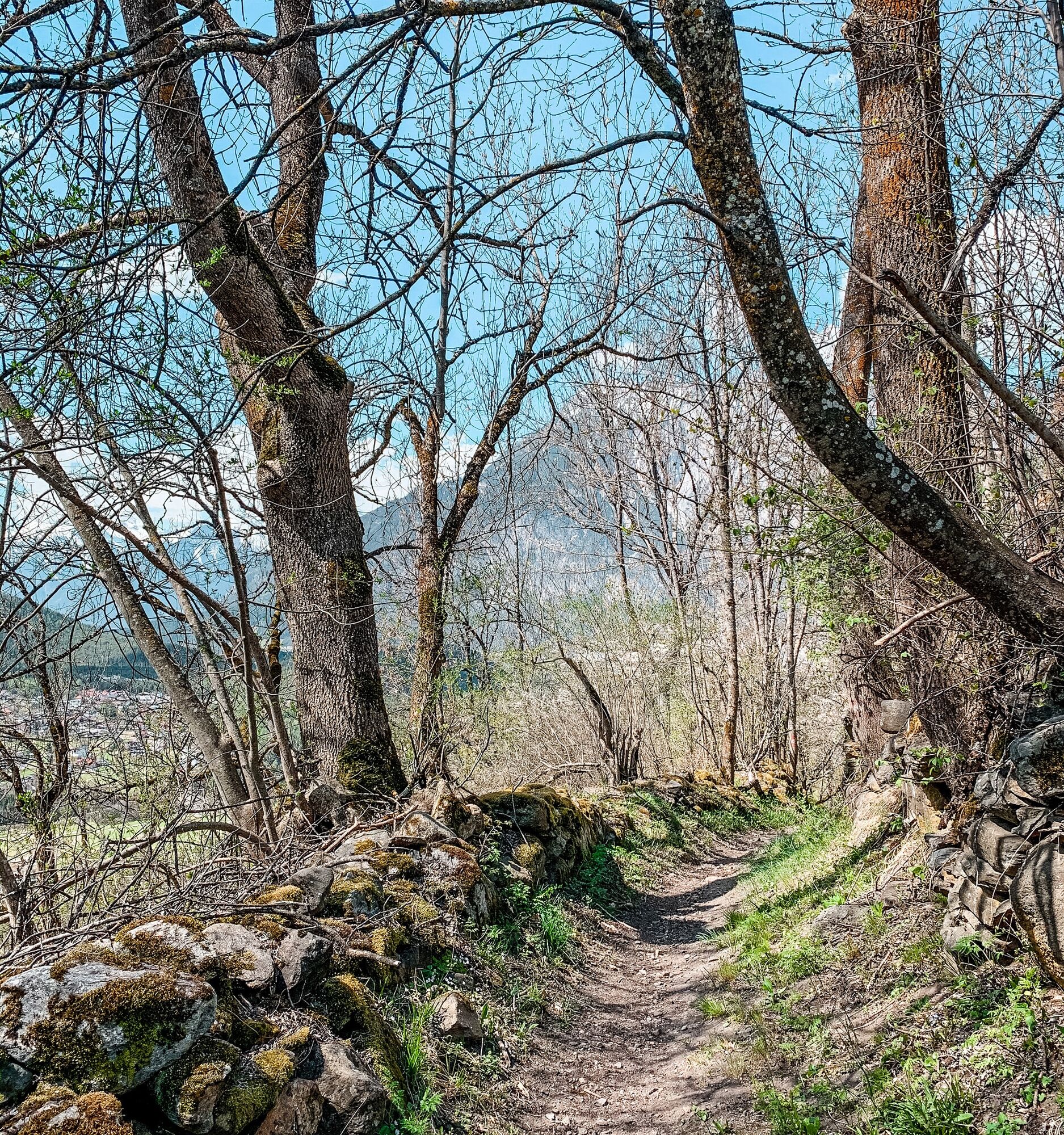
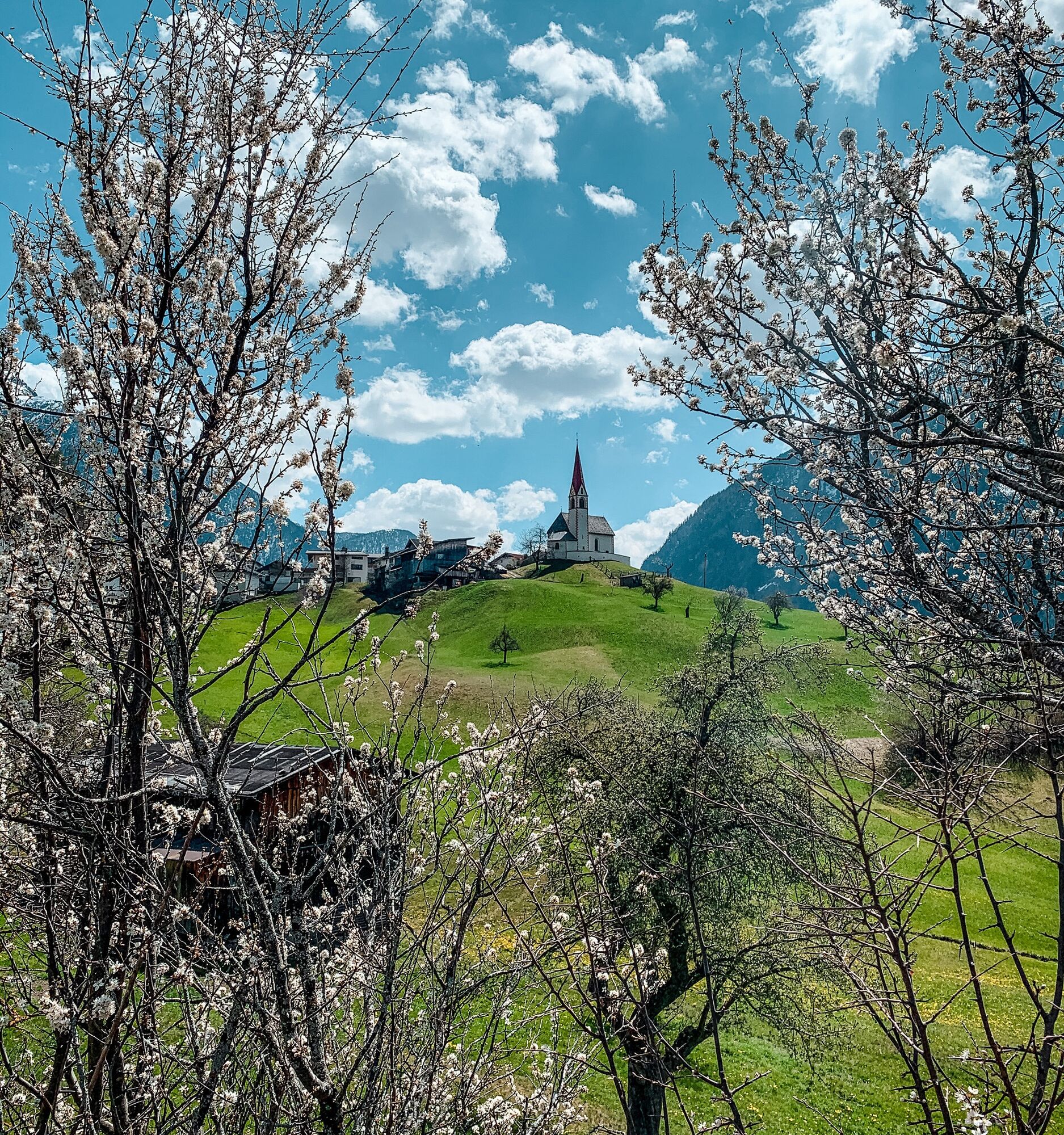

From the Ambach Infopoint (free parking available) across the street. The path to the Auerklamm begins immediately there. A beautiful hiking trail through the forest with a viewing platform. Afterwards, you reach a wooden bridge to the district of Taxegg and continue to Oetzerau. There you can visit the Antonius Church. On the way back, the path goes steeply down on the other side of the gorge. In the district of Ebene, cross the old wooden bridge back to the starting point.
Áno
Appropriate equipment such as breathable and weather-appropriate outdoor clothing, ankle-high hiking boots, wind, rain and sun protection, a hat, possibly gloves, is required for all hikes and routes. Carrying a first aid kit, a mobile phone, and possibly a hiking map, as well as sufficient provisions for hikes without refreshment options, is necessary.
Moderately difficult mountain trail; suitable for sure-footed and experienced mountain hikers; good physical fitness, mountain experience, and mountain equipment (see under equipment) are necessary. Please check the current weather report at: www.oetztal.com/de/sommer.html
Driving to the ÖTZTAL. Located in Tyrol, the Ötztal branches off southwards as the longest side valley of the Eastern Alps. Traveling by car takes visitors over the Inn valley to the valley entrance and further along the Ötztal. In addition to the toll motorway, country roads can also be used. With the route planner, your drive can be quickly and conveniently determined: To the route planner: www.google.at/maps
Travel comfortably and safely by train to the Ötztal station. The final stop and exit point is ÖTZTAL station. Afterwards, you can conveniently and quickly reach your desired destination through the entire valley using public transport or local taxi services! The current bus timetable is available at: fahrplan.vvt.at
Parking options available:
Parking lot directly at the Ambach Infopoint (free)More info about hiking in the Ötztal: www.oetztal.com/wandern
A visit to the Antonius Church in Oetzerau might be worthwhile. St. Antonius is invoked for the recovery of lost items.


 Získajte prehľad
Vždy naživo na mieste s viac ako 9 500 webovými kamerami. bergfex Ako používateľ Pro si teraz môžete pozrieť príslušné webové kamery pre mnohé zájazdy v aplikácii zájazdy z. Môžete si tak priamo prezerať aktuálne podmienky.
Získajte prehľad
Vždy naživo na mieste s viac ako 9 500 webovými kamerami. bergfex Ako používateľ Pro si teraz môžete pozrieť príslušné webové kamery pre mnohé zájazdy v aplikácii zájazdy z. Môžete si tak priamo prezerať aktuálne podmienky.

Obľúbené výlety v okolí
-
4,6
Trip Tirol ➤ Hike to the Blue Grotto in Rosengarten Gorge Imst
strednáTuristika 4,86 km -
4,2
Hike Stuibenfall - Umhausen
svetloTuristika 2,95 km -
4,4
Stuibenfall Umhausen circular hike
svetloTuristika 9,32 km -
4,5
Oetz - Piburger See - Oetz
strednáTuristika 7,16 km -
4,6
Umhausen - Stuibenfall - Umhausen
strednáTuristika 7,94 km -
4,6
Summit route Faltegartenköpfl
strednáTuristika 4,04 km -
4,7
Circular hike Bergmahderweg - Niederthai
svetloTuristika 7,60 km -
4,8
lake Piburger See
svetloTuristika 2,75 km -
5,0
Larstigalm - Niederthai
svetloTuristika 3,24 km -
4,0
Arzkasten - Lehnberghaus
svetloTuristika 3,08 km

Turistika a stopovanie


Nenechajte si ujsť ponuky a inšpiráciu na ďalšiu dovolenku
Vaša e-mailová adresa bol pridaný do poštového zoznamu.





