


Snowshoe Trail Wesele Runde


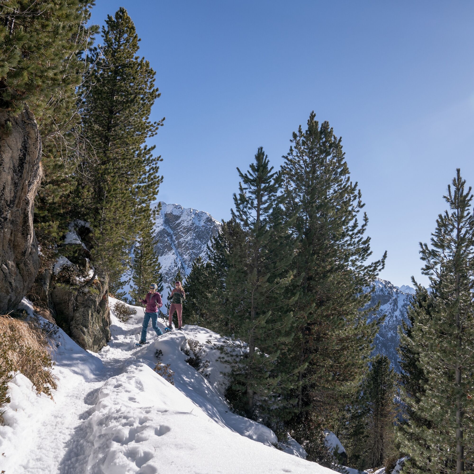
Take the Acherkogelbahn in Oetz which will bring you to the Hochoetz ski region. The beautiful, signposted snowshoe trail starts just below the panoramic restaurant (2020 m). The trail goes towards the...
Take the Acherkogelbahn in Oetz which will bring you to the Hochoetz ski region. The beautiful, signposted snowshoe trail starts just below the panoramic restaurant (2020 m). The trail goes towards the “Rotes Wandl”. From there the trail leads slightly downhill through the forest to a junction. Here follow the trail signposted upwards, past the Wesele lift back to the Panoramorestaurant.

Take the Acherkogelbahn in Oetz which will bring you to the Hochoetz ski region. The beautiful, signposted snowshoe trail starts just below the panoramic restaurant (2020 m). The trail goes towards the “Rotes Wandl”. From there the trail leads slightly downhill through the forest to a junction. Here follow the trail signposted upwards, past the Wesele lift back to the Panoramorestaurant.
Appropriate equipment such as breathable suitable outdoor clothes for the weather, wind-, rain-, snow- and sunprotection, hat and gloves is for all hikes and tours necessary. Please bring a first-aid box, a mobile phone, awalking map and if there is no hut on the way a snack and enough to drink.
Please pay attention to the current weather- & avalanche report: www.oetztal.com/de/winter.html & avalanche-report/albina-web/bulletin/...
The Ötztal valley is located in southerly direction and is the longest side valley in the Eastern Alps. The journey by car leads you through the Inntal valley until you reach the start of Ötztal. Beside the toll motorways you can also use the country roads. To plan your journey we recommend using a route planner like: www.google.at/maps
Reisen Sie mit der Bahn komfortabel und sicher nach Ötztal Bahnhof. Am Bahnhof Anschließend finden Sie öffentlichen Linienverkehr oder örtliche Taxiunternehmen die Sie gerne zu Wunschziel bringen! Den aktuellen Busfahrplan gibt’s unter: http://fahrplan.vvt.at
The following parking options are available:
Parking Acherkogelbahn - free for guests of the cable car, camping prohibited
Parking next to the river (at the end of Oetz on the right hand side) – free of charge, but limited parking; camping prohibited
Parking Oetz town center- parking fee
Parking for several days': Parking Oetz town center, the ticket is available at the tourist office Oetz
www.oetz.com
Ein schöner Einsteiger Schneeschuh Trail in toller Winterlandschaft.
Obľúbené výlety v okolí
-
4,5
Oetz - Piburger See - Oetz
strednáTuristika 7,16 km -
4,6
Summit route Faltegartenköpfl
strednáTuristika 4,04 km -
4,2
Hike Stuibenfall - Umhausen
svetloTuristika 2,95 km -
4,4
Stuibenfall Umhausen circular hike
svetloTuristika 9,32 km -
5,0
Larstigalm - Niederthai
svetloTuristika 3,24 km -
4,8
Faltegartenköpfl (01)
svetloSkitour 4,19 km -
4,7
Umhausen - Stuibenfall - Umhausen
strednáTuristika 7,94 km -
4,6
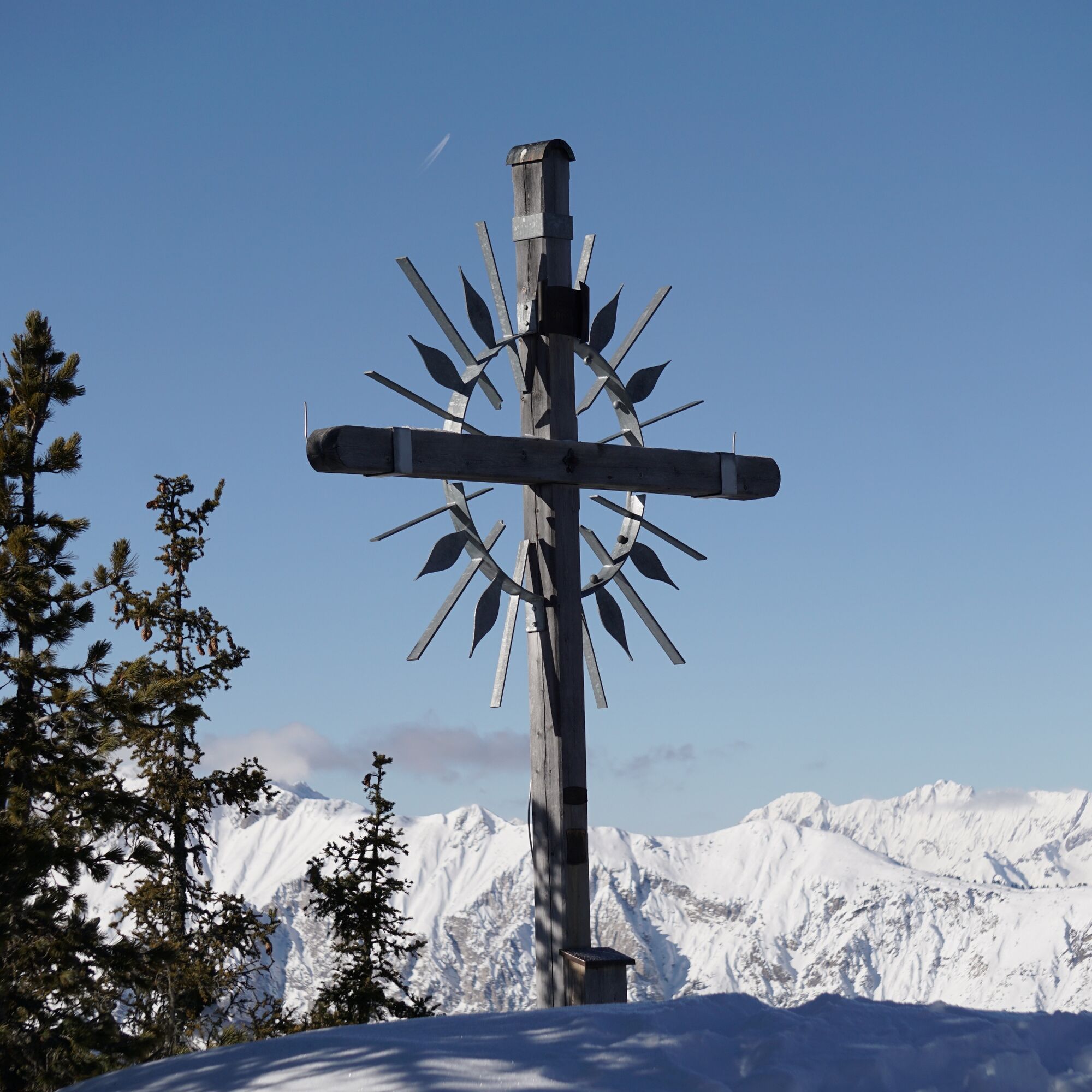
Summit route Weather Cross from Hochoetz
strednáTuristika 3,06 km -
3,7
Auerklamm
strednáTuristika 3,46 km -
5,0
"Miners trail"
strednáTuristika 10,8 km
Turistika a stopovanie


Nenechajte si ujsť ponuky a inšpiráciu na ďalšiu dovolenku
Vaša e-mailová adresa bol pridaný do poštového zoznamu.