
Ski tour Reiterkarspitze 2.422m
svetlo
Získajte túto prehliadku v mobilnom telefóne
Ski tour Reiterkarspitze 2.422m
svetlo
Skitour
6,72
km
Naskenujte kód QR a spustite navigáciu v aplikácii bergfex


Turistika a stopovanie




Ski tour Reiterkarspitze 2.422m
svetlo
Vzdialenosť
6,72
km
Trvanie
04:00
h
Ascent
1 170
hm
Hladina mora
1 243 -
2 417
m
Stiahnutie skladby
Ski tour Reiterkarspitze 2.422m
svetlo
Skitour
6,72
km
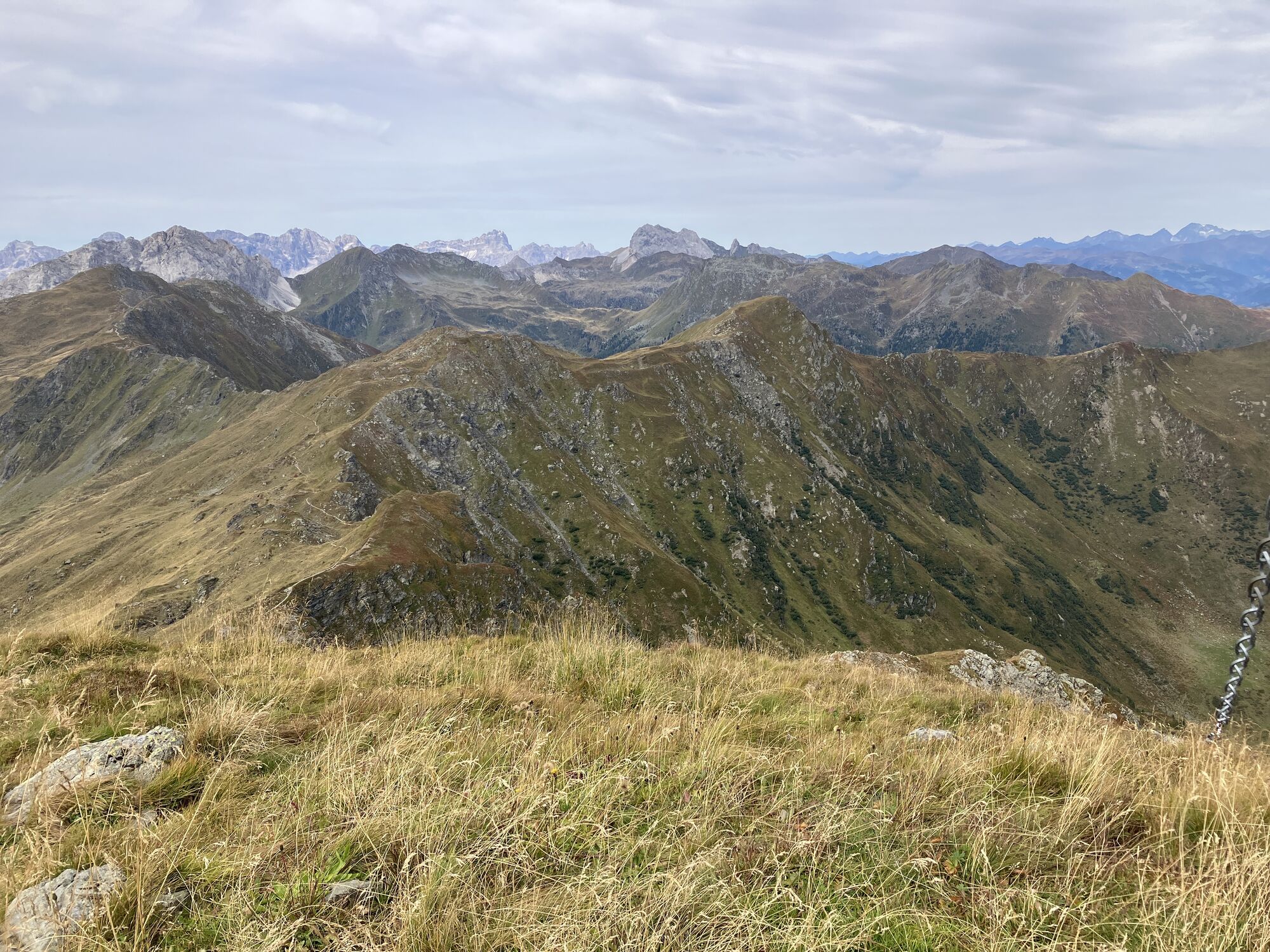
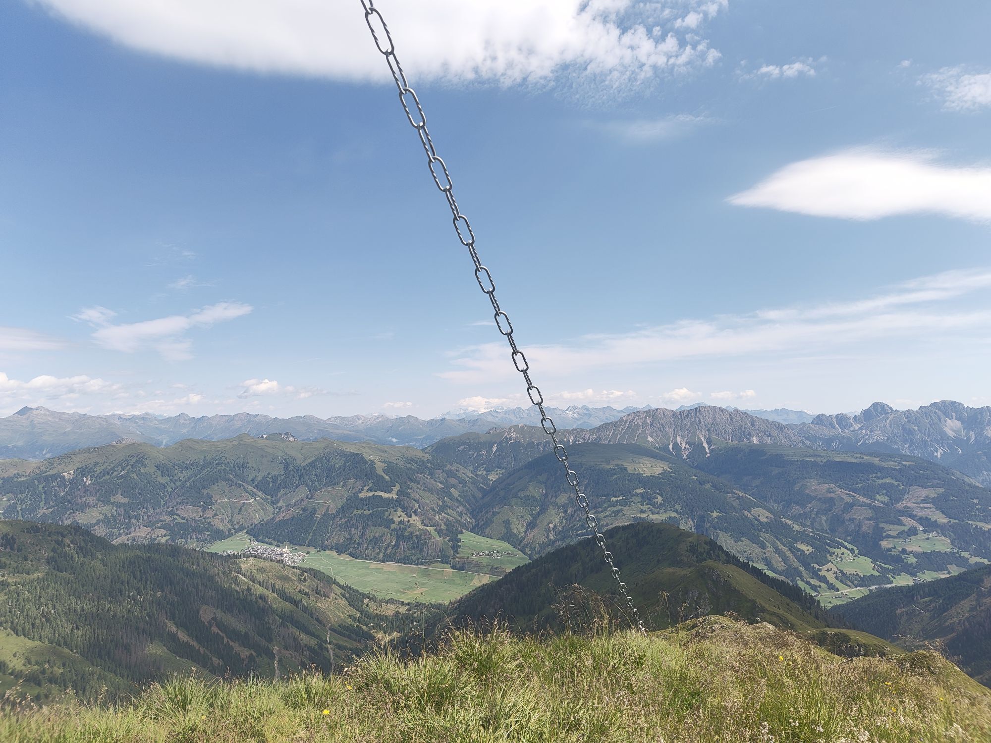
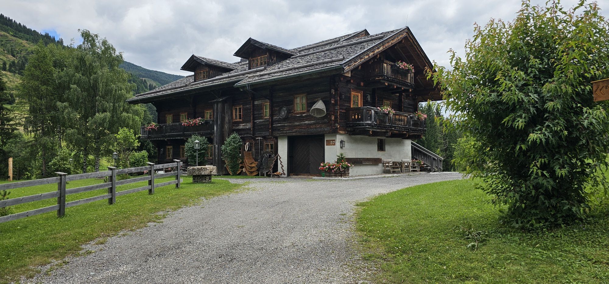
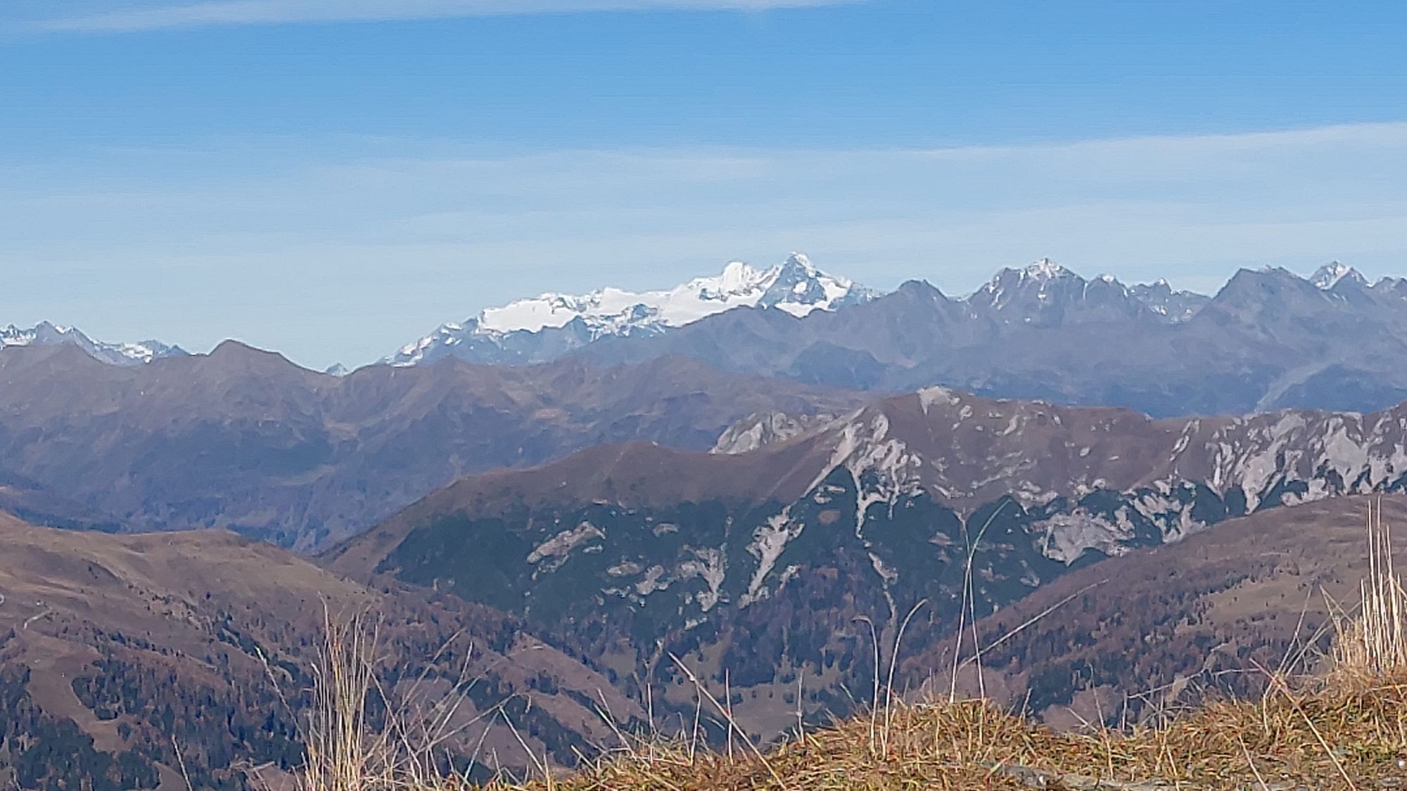
The Reiterkarspitze, in Monte Cedido, Italy, with its wide slopes and flanks provides an ideal tour destination on the Carnic ridge and because of this is much visited. The only disadvantage of this tour...
Opis
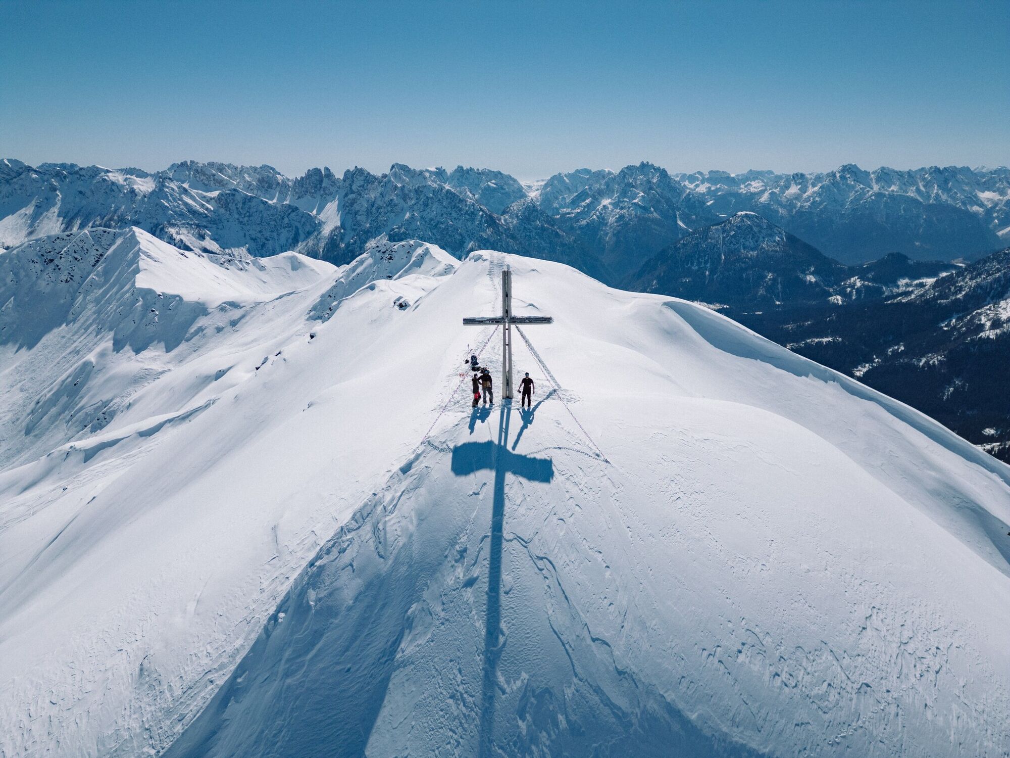
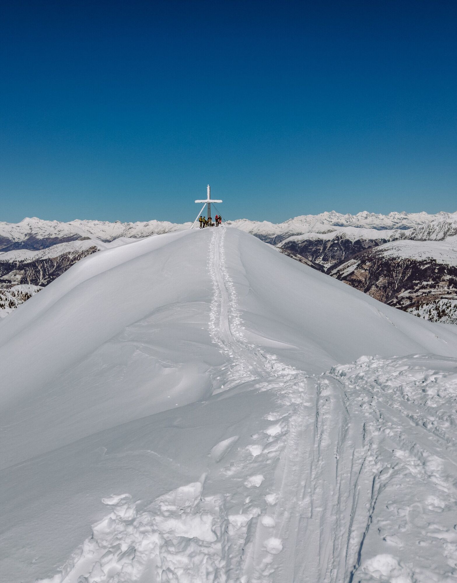
The Reiterkarspitze, in Monte Cedido, Italy, with its wide slopes and flanks provides an ideal tour destination on the Carnic ridge and because of this is much visited. The only disadvantage of this tour is, for tours on the Carnic ridge, the characteristic, relatively long approach to the mountain.
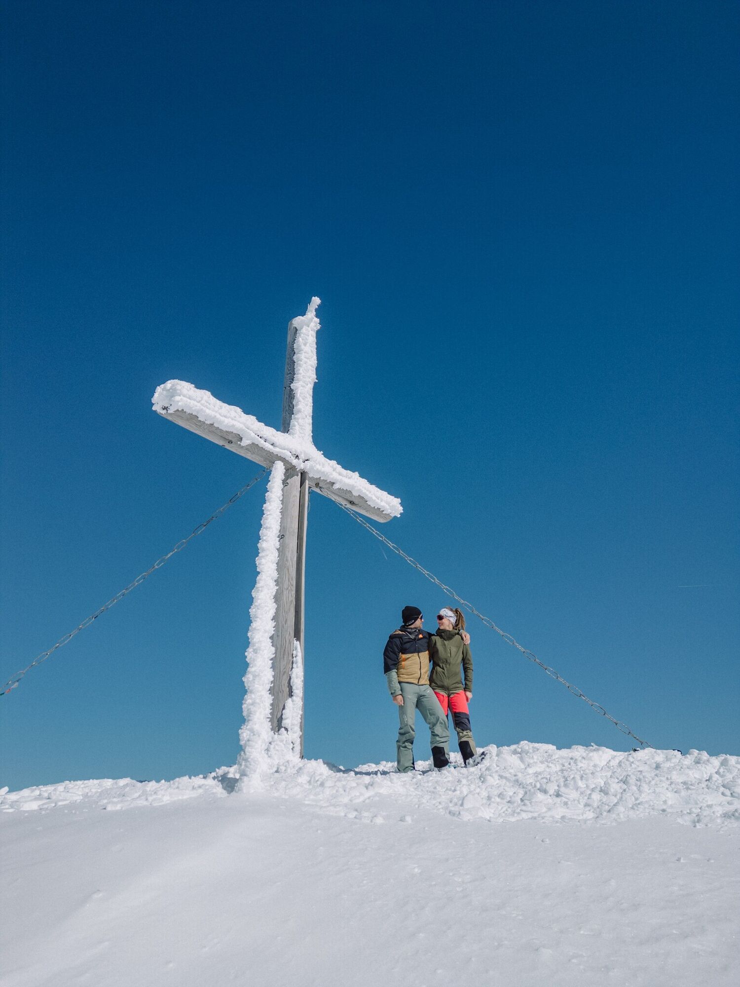
The starting point is 4 km east of Obertilliach at the Soldhäusern (1230 m). These are below the main road at the bottom of the valley and are accessed via a small road (Tilliacher Hof junction), which can be recognised by its pink coloured chapel. There is plenty of car parking available, follow the yellow signposts. We follow the flat forest trail into the valley and after about an hour get to a small Alpine lodge, marked ‘Gartlhütte’ in the map. After this the route becomes a bit steeper and the ski track proceeds across pastureland slopes on the right side of the valley, increasing in altitude. The forest trail may be truncated on several occasions by heading via open terrain. After around 3 hours and several hairpin bends we come to the little Reiterkarhütte (2190 m), which tempts you to stay for a while. 30 minutes later we are on the flat summits via the flanks on the east side. The Reiterkarspitze rewards you with a superb view to the Dolomites and the surrounding summits of the Carnic Alps. It is also possible to climb from the shepherds’ lodge to the Winkler Joch (2250 m) in the south. Descent along the ascent track.
The starting point is 4 km east of Obertilliach at the Soldhäusern (1230 m). These are below the main road at the bottom of the valley and are accessed via a small road (Tilliacher Hof junction), which can be recognised by its pink coloured chapel. There is plenty of car parking available, follow the yellow signposts. We follow the flat forest trail into the valley and after about an hour get to a small Alpine lodge, marked ‘Gartlhütte’ in the map. After this the route becomes a bit steeper and the ski track proceeds across pastureland slopes on the right side of the valley, increasing in altitude. The forest trail may be truncated on several occasions by heading via open terrain. After around 3 hours and several hairpin bends we come to the little Reiterkarhütte (2190 m), which tempts you to stay for a while. 30 minutes later we are on the flat summits via the flanks on the east side. The Reiterkarspitze rewards you with a superb view to the Dolomites and the surrounding summits of the Carnic Alps. It is also possible to climb from the shepherds’ lodge to the Winkler Joch (2250 m) in the south. Descent along the ascent track.
Trasa
Trasa
Ski tour Reiterkarspitze 2.422m
svetlo
Skitour
6,72
km


Informácie o príchode
Verejná doprava
Mit dem Bus bis zur Haltestelle "Untertilliach Winkl"
Zatiaľ žiadne recenzie
Získajte prehľad
Vždy naživo na mieste s viac ako 9 500 webovými kamerami. bergfex Ako používateľ Pro si teraz môžete pozrieť príslušné webové kamery pre mnohé zájazdy v aplikácii zájazdy z. Môžete si tak priamo prezerať aktuálne podmienky.
Obľúbené výlety v okolí
-
4,5
Karnischer Höhenweg – Etappe 4: Hochweißsteinhaus – Wolayersee Hütte
ťažkédiaľková pešia trasa 15,9 km -
4,5
Kartitsch-Obstansersee Hütte
strednáTuristika 13,1 km -
4,5
Obergail - Obergailer Alm - Obergailer Lake - Enderberg hut - Source for Health & Peace - Madonna circular hiking route - Obergail
strednáTuristika 11,4 km -
4,3
Connyalm (2.070 m)
Turistika 6,36 km -
5,0
Porzehütte (1.942 m)
svetloTuristika 9,01 km -
5,0
Tuffbad - Guggenberger Sattel - Samalm - Tuffbad
strednáTuristika 12,2 km -
5,0
Carnic altitude trail. Stage 4: Porzehütte – Hochweißsteinhaus
ťažkéTuristika 17,5 km -
3,9
Circular hike Obergail - Gamskofel - Obergail Alm - Obergail
strednáTuristika 13 km -
4,7
Klammbrückl - Kerschbaumeralm - Spitzkofel
ťažkéTuristika 8,71 km -
5,0
Karnischer Höhenweg – Etappe 2: Obstansersee Hütte – Porzehütte
ťažkédiaľková pešia trasa 12,0 km
Turistika a stopovanie

Viac ako 550.000 návrhov výletov, podrobné mapy a intuitívny plánovač trás robia z aplikácie povinnú výbavu pre všetkých nadšencov prírody.

Nenechajte si ujsť ponuky a inšpiráciu na ďalšiu dovolenku
Prihlásiť sa k odberu noviniek
Chyba
Vyskytla sa chyba. Prosím, skúste to znova.
Ďakujeme za vašu registráciu
Vaša e-mailová adresa bol pridaný do poštového zoznamu.
Zájazdy po celej Európe
Rakúsko
Švajčiarsko
Nemecko
Taliansko
Slovinsko
Francúzsko
Holandsko
Belgicko
Poľsko
Lichtenštajnsko
Česko
Slovensko
španielsko
Hrvaška
Bosna a Hercegovina
Luxembursko
Andorra
Portugalsko
Island
Spojené kráľovstvo
Írsko
Grécko
Albánsko
Severné Macedónsko
Malta
Nórsko
Čierna Hora
Moldavsko
Kosovo
Maďarsko
San Maríno
Rumunsko
Estónsko
Lotyšsko
Bielorusko
Cyprus
Litva
Srbsko
Bulharsko
Monako
Dánsko
Švédsko
Fínsko





