






Ski tour Hochspitz 2.581m
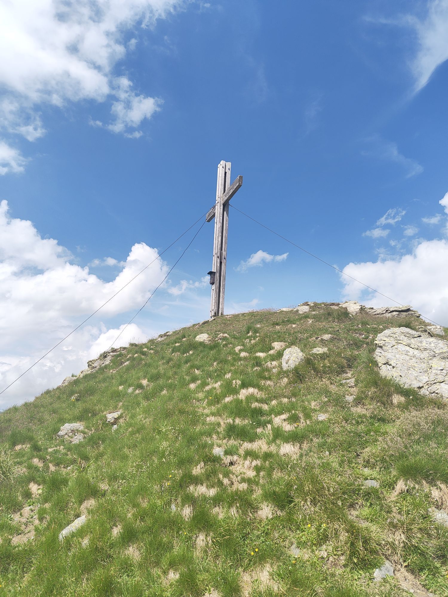
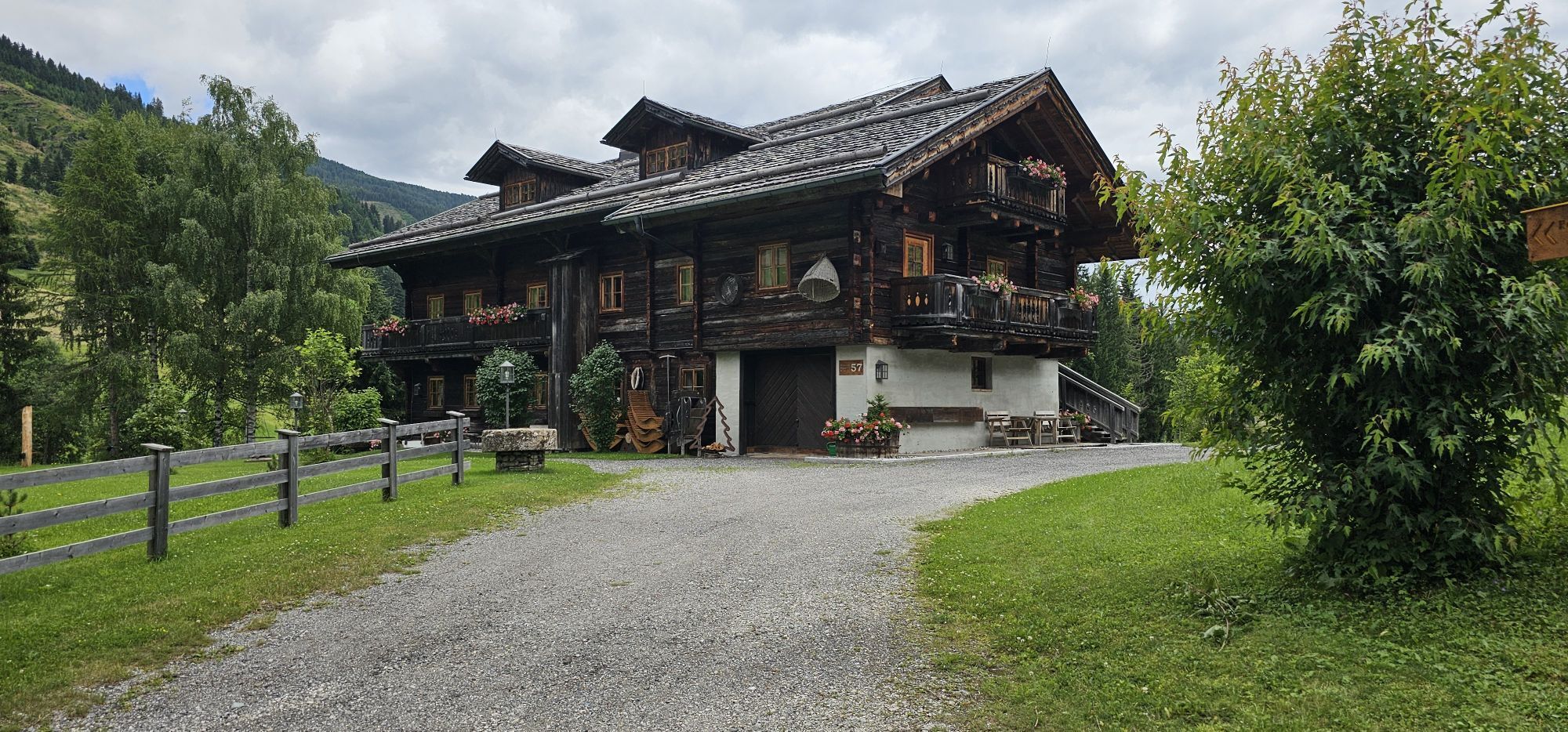
The Hochspitz is among the enhanced level ski tours in the Karniern and as well as solid technique when it comes to tackling hairpin bends, also demands a good flair for choosing a route and track facilities....
The Hochspitz is among the enhanced level ski tours in the Karniern and as well as solid technique when it comes to tackling hairpin bends, also demands a good flair for choosing a route and track facilities. The north-west facing slopes are steep and should only be tackled when the conditions are safe. The starting point is 4 km to the east of Obertilliach at the ‘Soldhäusern’ (1240 m). These are located below the main road in the bottom of the valley and can be accessed via a little road which is at a pink-coloured chapel (junction for Tilliacher Hof). There is plenty of car parking available; pay attention to the yellow signposts. We follow the forest trail into Winklertal and after an hour get to a little Alpine lodge, called ‘Gartlhütte’ in the map. Crossing the river, we proceed via slightly ascending terrain to the north- west side, which has steep slopes (30 °) interspersed with alder shrubs, and the destination of our tour. The ski track now bears left of a distinctive fosse, avoiding the alder belt as much as possible, proceeding in zig zags up to a height of 1800 m. Using the route of the summer trail we now make our way briefly out of the valley to go around a steep section in a loop. We now cross south again and enter fantastic ski touring terrain which heads upwards in several steeper gullies and troughs up to the summit structure. Ever in search of the most favourable route we proceed through the following steep slopes which are key sections in terms of technical avalanche conditions (NW, 30°). Via a final, often windswept gully we now head for the summit cross, which can already be seen from quite a distance and access the ridge to the west of it. Just a short walk, posing no difficulty, up to the highest point (4 - 5 hours). Descent along the ascent track.


Mit dem Bus bis zur Haltestelle "Untertilliach Winkl"
Získajte prehľad
Vždy naživo na mieste s viac ako 9 500 webovými kamerami. bergfex Ako používateľ Pro si teraz môžete pozrieť príslušné webové kamery pre mnohé zájazdy v aplikácii zájazdy z. Môžete si tak priamo prezerať aktuálne podmienky.
Obľúbené výlety v okolí
-
4,5
Karnischer Höhenweg – Etappe 4: Hochweißsteinhaus – Wolayersee Hütte
ťažkédiaľková pešia trasa 15,9 km -
4,5
Kartitsch-Obstansersee Hütte
strednáTuristika 13,1 km -
4,5
Obergail - Obergailer Alm - Obergailer Lake - Enderberg hut - Source for Health & Peace - Madonna circular hiking route - Obergail
strednáTuristika 11,4 km -
4,3
Connyalm (2.070 m)
Turistika 6,36 km -
5,0
Porzehütte (1.942 m)
svetloTuristika 9,01 km -
5,0
Tuffbad - Guggenberger Sattel - Samalm - Tuffbad
strednáTuristika 12,2 km -
5,0
Carnic altitude trail. Stage 4: Porzehütte – Hochweißsteinhaus
ťažkéTuristika 17,5 km -
3,9
Circular hike Obergail - Gamskofel - Obergail Alm - Obergail
strednáTuristika 13 km -
4,7
Klammbrückl - Kerschbaumeralm - Spitzkofel
ťažkéTuristika 8,71 km -
5,0
Karnischer Höhenweg – Etappe 2: Obstansersee Hütte – Porzehütte
ťažkédiaľková pešia trasa 12,0 km
Turistika a stopovanie


Nenechajte si ujsť ponuky a inšpiráciu na ďalšiu dovolenku
Vaša e-mailová adresa bol pridaný do poštového zoznamu.





