







WIDI's themed route - aim high! The route for summit conquerors

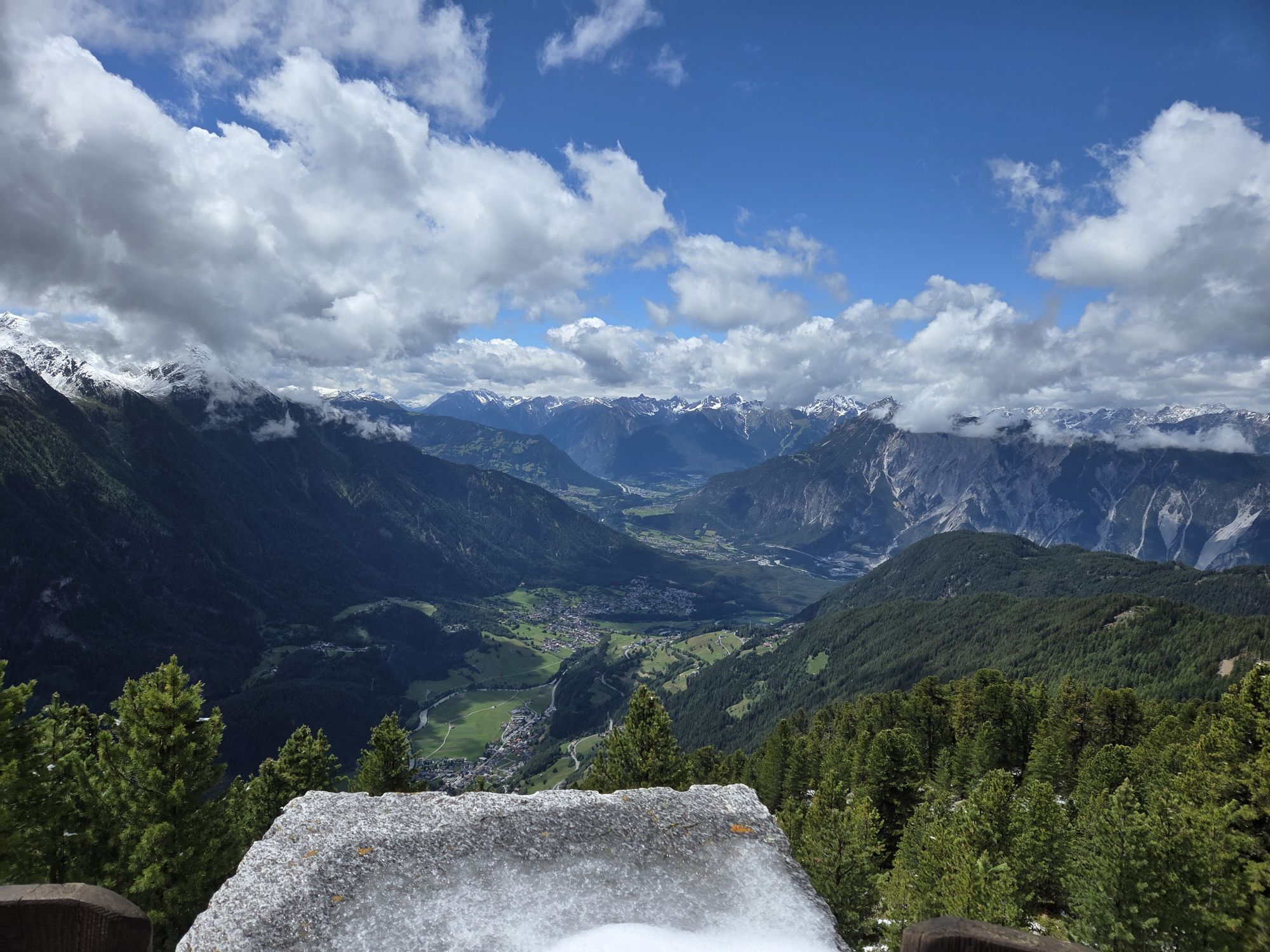
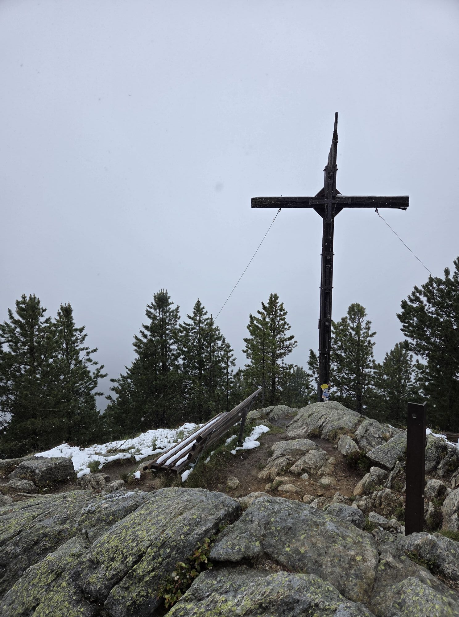
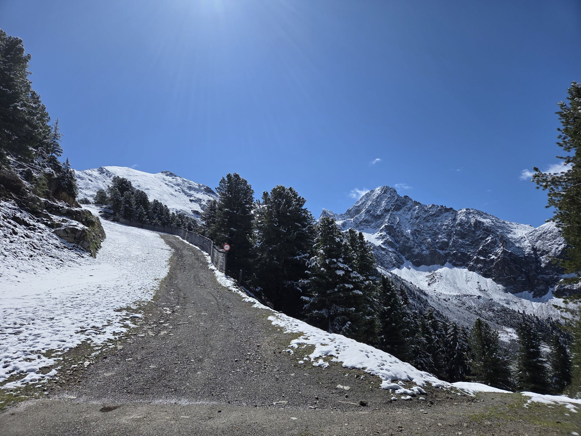
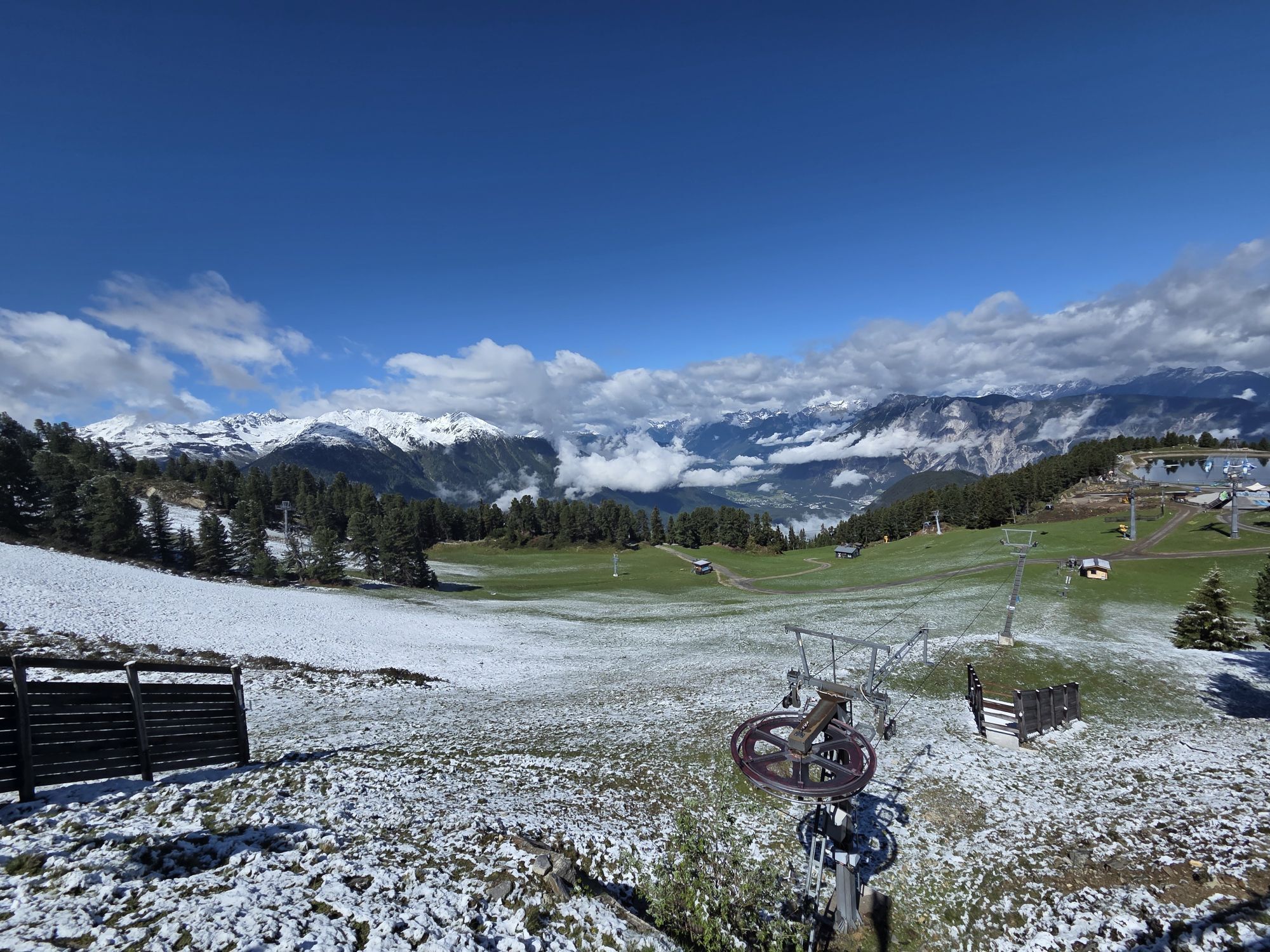
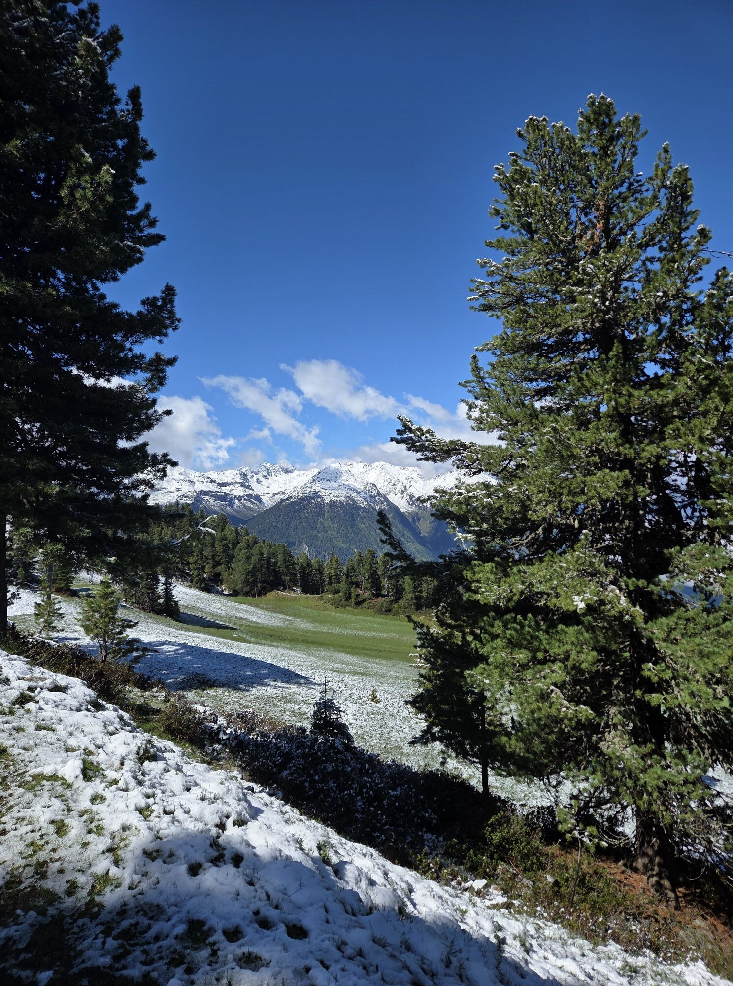
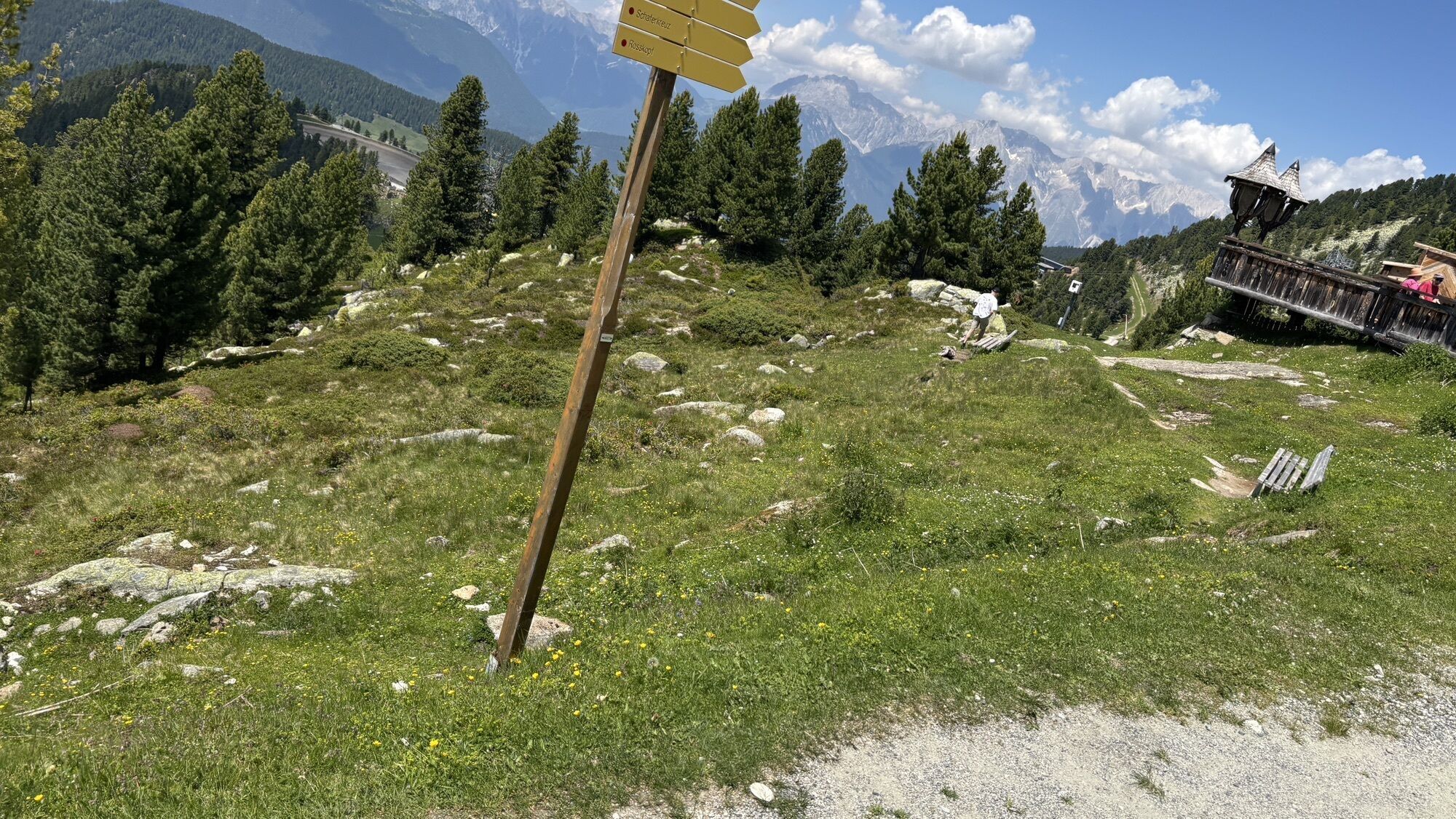
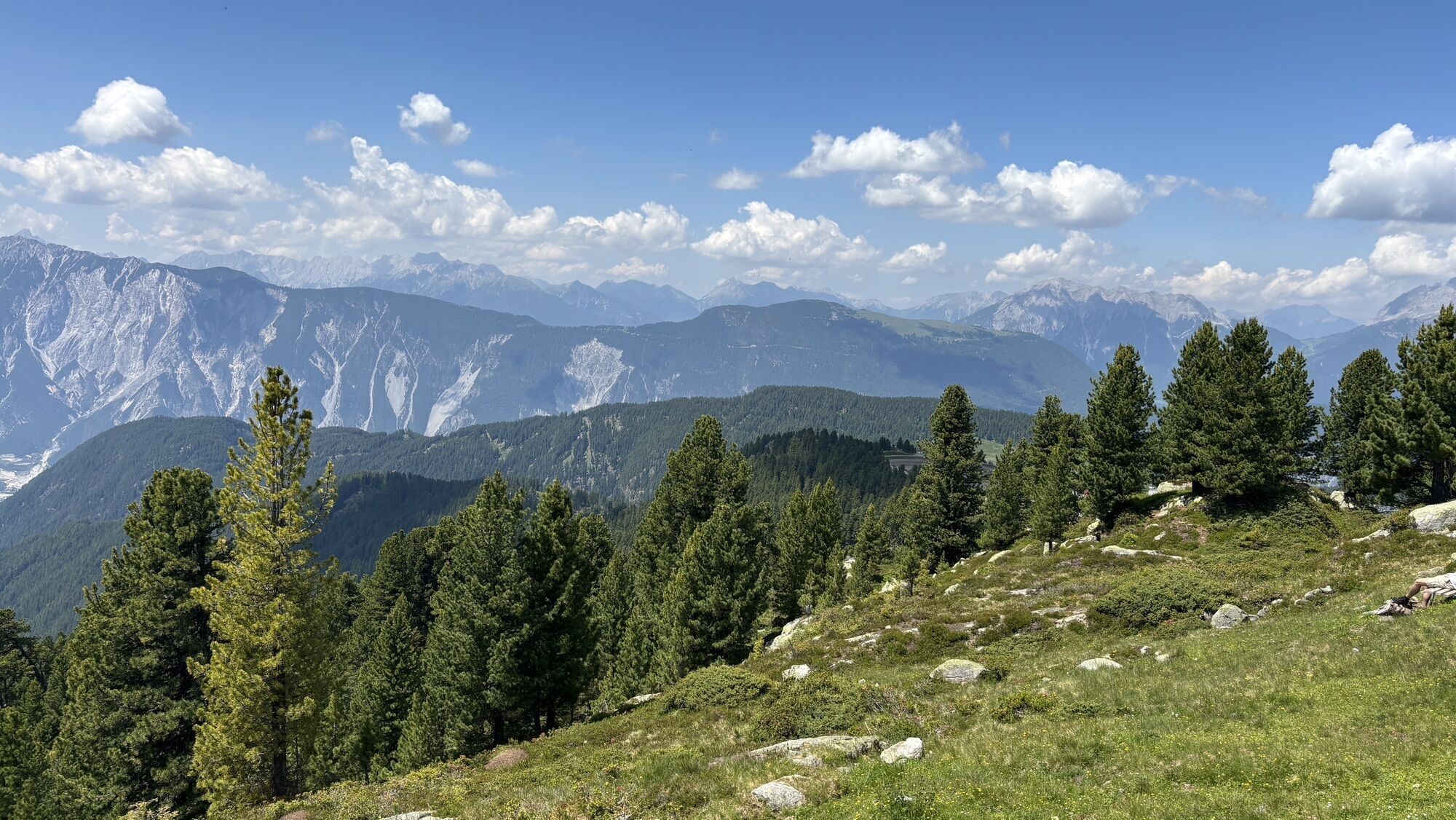
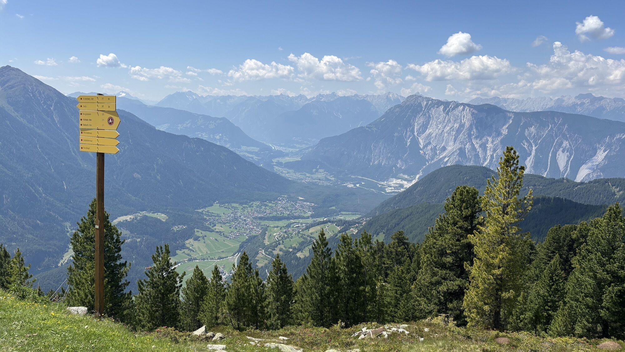
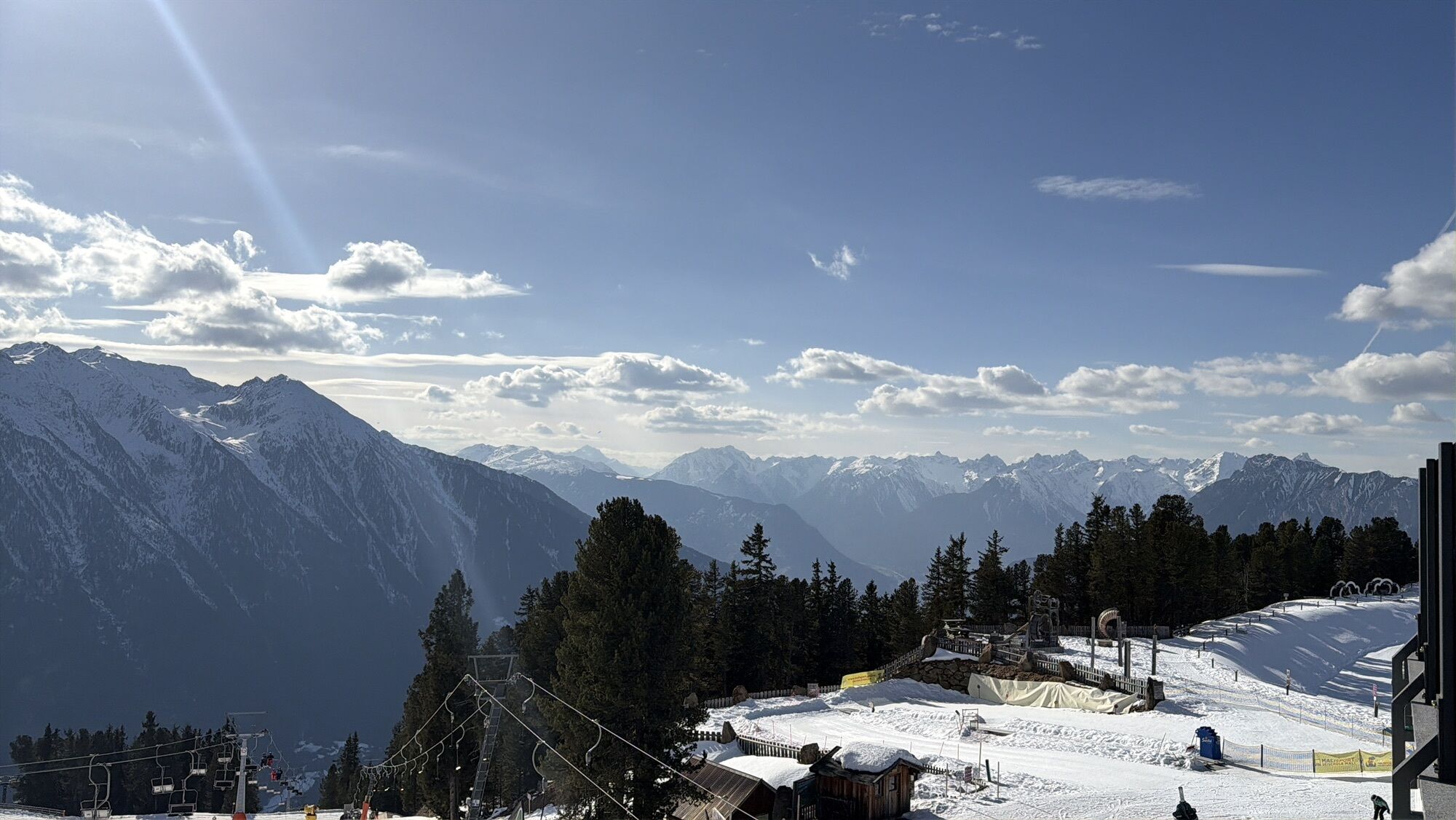
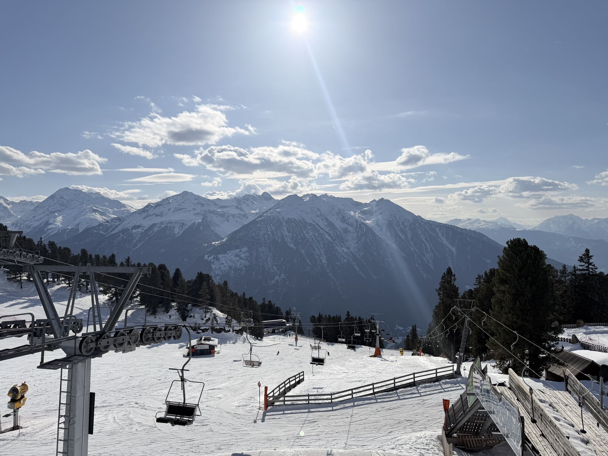
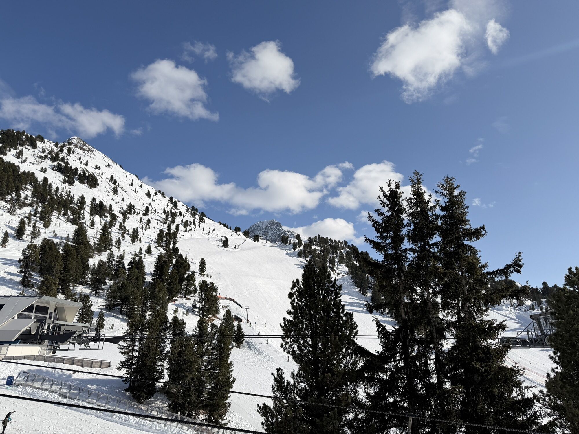
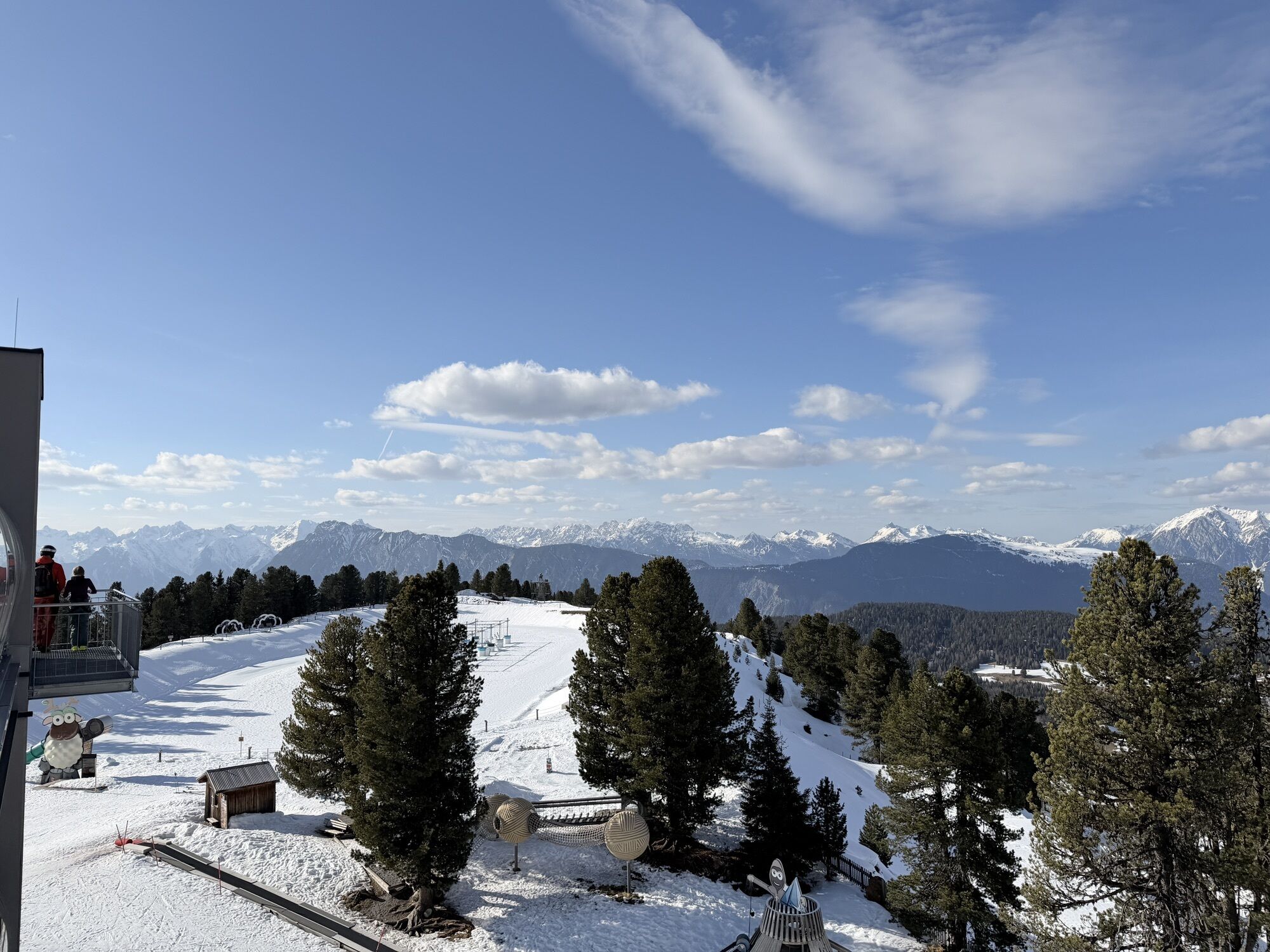
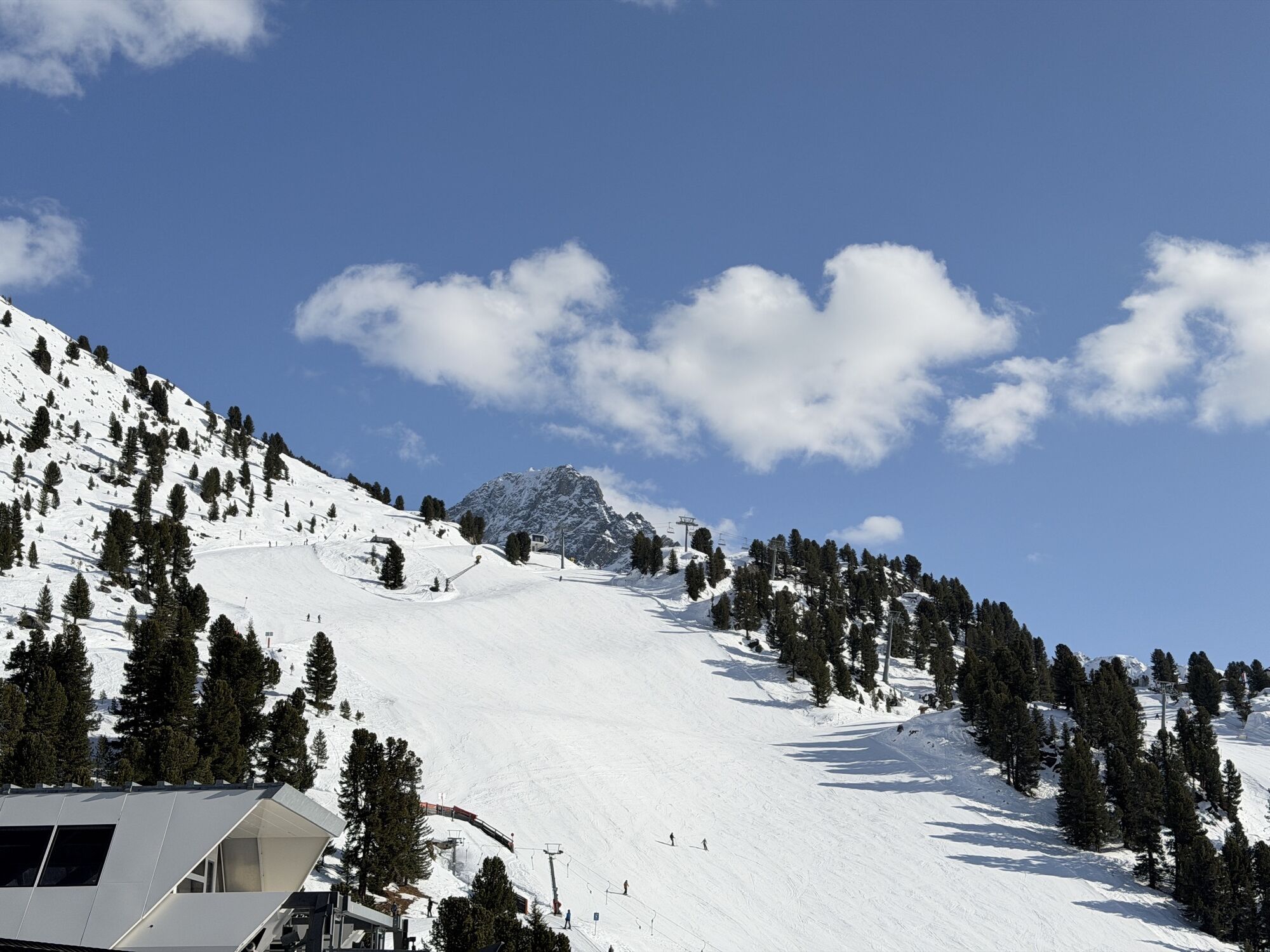
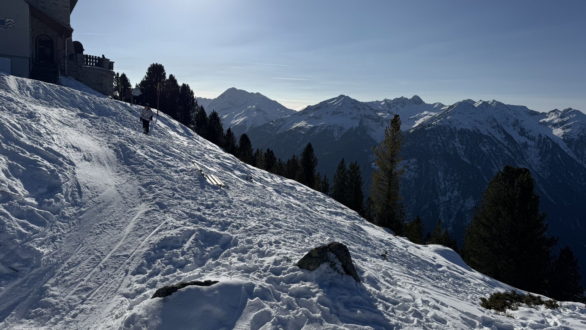
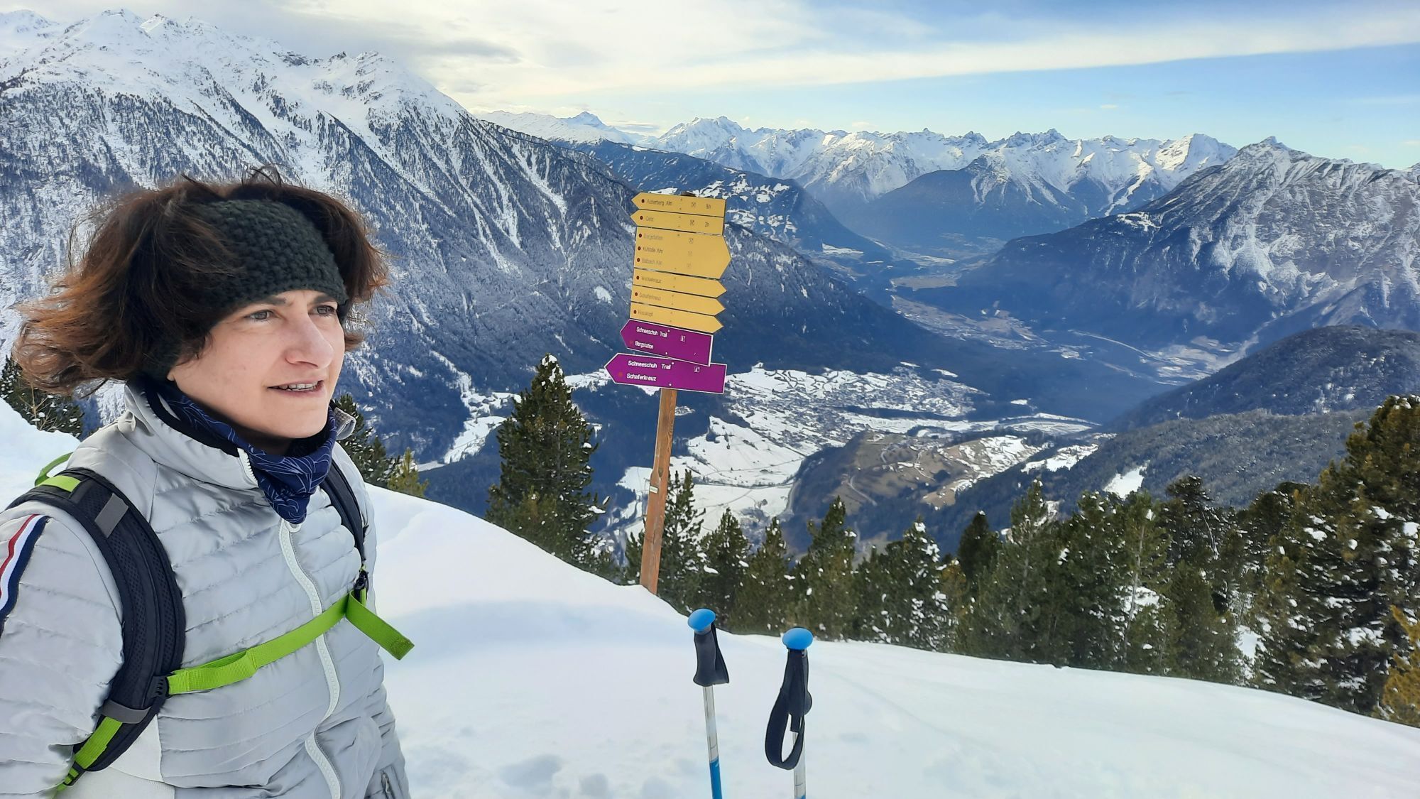
Here you see the world from the perspective of the jackdaw: from above. How high can you climb the climbing crystal? How many mountain peaks do you count on the viewing platform? You will discover all...
Here you see the world from the perspective of the jackdaw: from above. How high can you climb the climbing crystal? How many mountain peaks do you count on the viewing platform? You will discover all this and much more along the way. And please smile: at the end, WIDI is waiting for you for a group snapshot.
Length of the hike: 1.5 km
Walking time: approx. 1 hour.
Stations: Mountain station > balancing act > Bielefelder Hut – climbing crystal > WIDI's photo platform > mountain station
Stopover: Bielefelder Hut

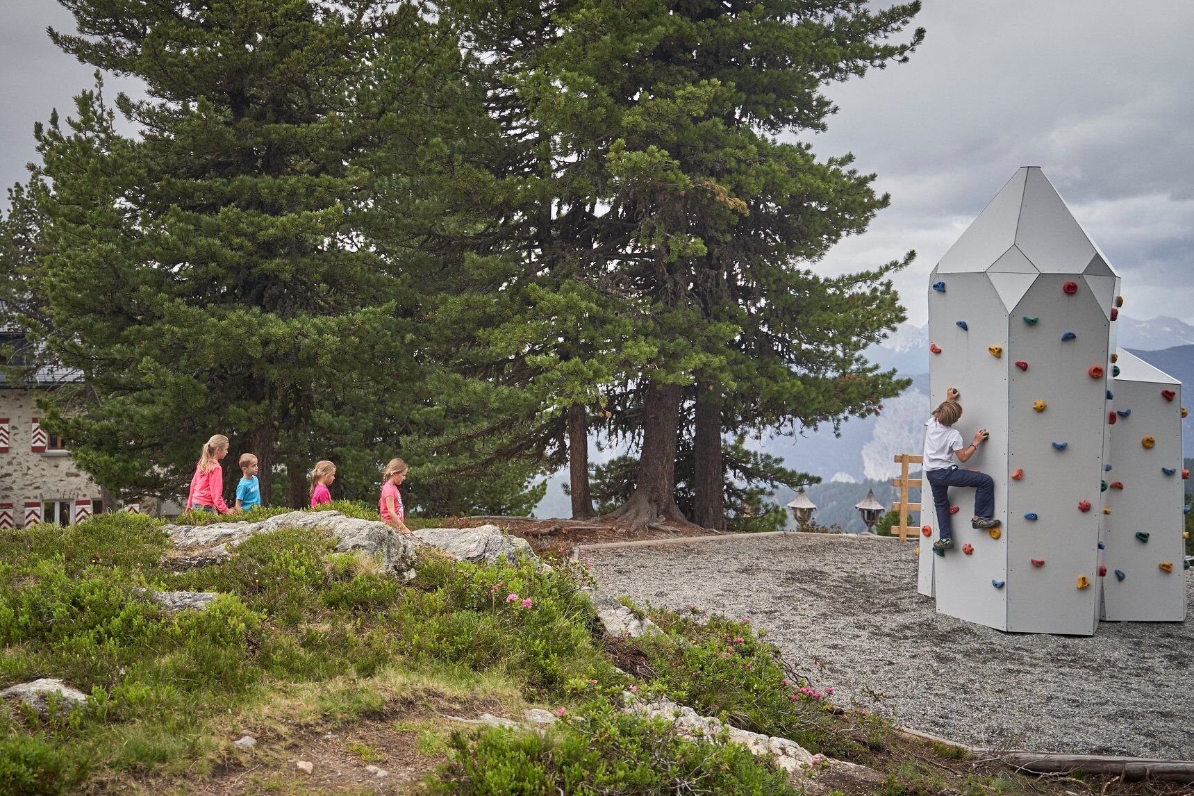
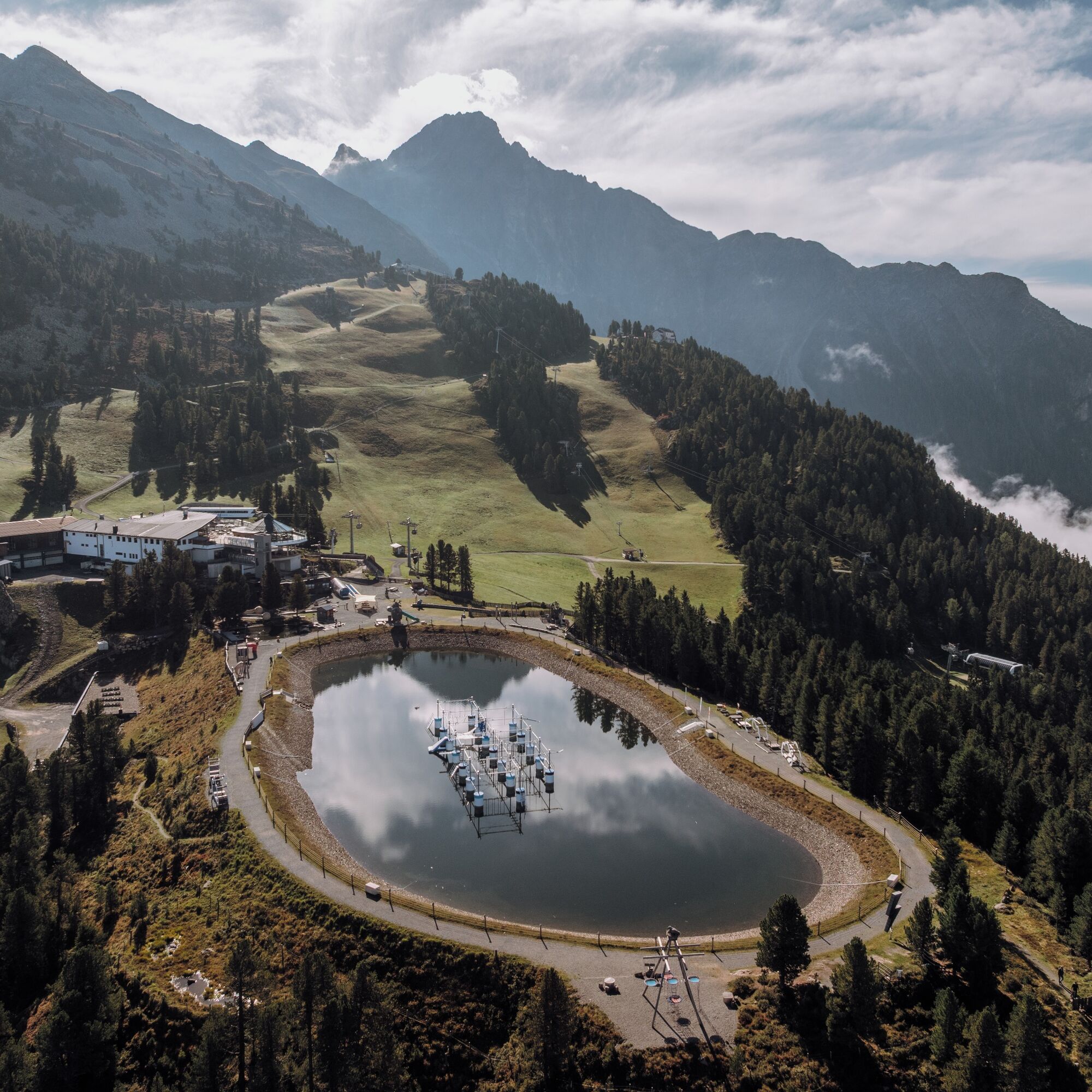
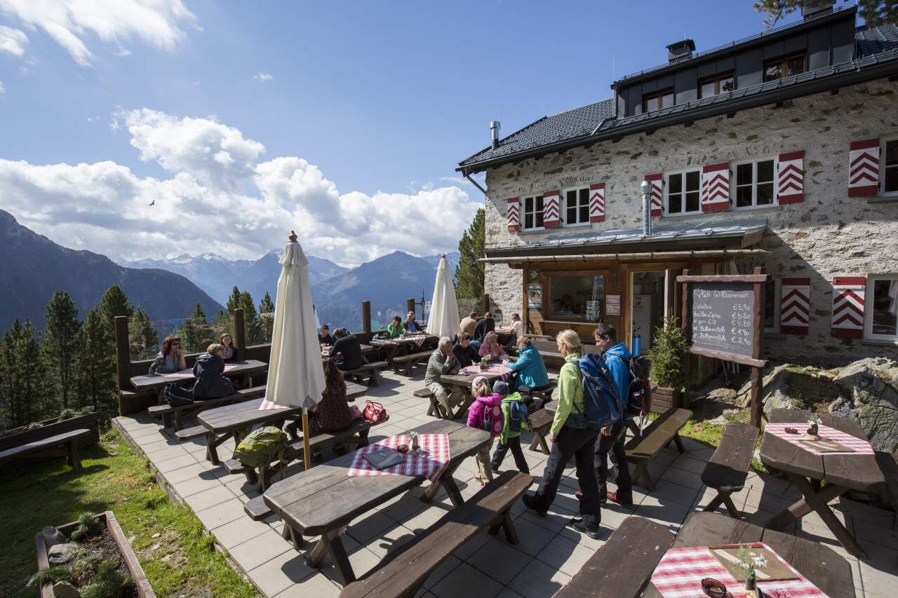

Here you see the world from the perspective of the jackdaw: from above. How high can you climb the climbing crystal? How many mountain peaks do you count on the viewing platform? You will discover all this and much more along the way. And please smile: at the end, WIDI is waiting for you for a group snapshot.
Length of the route: 1.5 km
Walking time: approx. 1 hour.
Stations: Mountain station > balancing act > Bielefelder Hut – climbing crystal > WIDI's photo platform > mountain station
Stopover: Bielefelder Hut
Áno
Áno
Áno
Appropriate equipment such as breathable and weather-appropriate outdoor clothing, ankle-high hiking boots, wind, rain, and sun protection, a hat, and possibly gloves are required for all hikes and routes. Carrying a first aid kit, a mobile phone, and possibly a hiking map, as well as sufficient provisions for hikes without the option to stop for a meal, is necessary.
Moderately difficult mountain path; suitable for sure-footed and experienced hikers; good physical condition, mountain experience, and mountain equipment (see equipment) are necessary. Please check the current weather report at: www.oetztal.com/de/sommer.html
The car journey into the ÖTZTAL. Located in Tyrol, the Ötztal branches to the south as the longest side valley of the Eastern Alps. The journey by car leads travelers over the Inn Valley to the valley entrance and then along the Ötztal. In addition to the toll motorway, country roads can also be used. With the route planner, your drive can be determined quickly and conveniently: To the route planner: www.google.at/maps
Travel comfortably and safely by train to the Ötztal station. The final stop or exit point is ÖTZTAL station. Afterwards, you travel comfortably and quickly with public transport or local taxi companies through the entire valley to your desired destination! The current bus schedule is available at: fahrplan.vvt.at
The following parking options are available:
Acherkogelbahn parking lot (paid) Rafting entry point parking lot (at the end of Oetz on the right side) (paid) Oetz town center parking lot (paid) Overnight parking during multi-day tours: Oetz town center parking lot, tickets are available at the Oetz information office. Free parking in Ochsengarten when taking the Ochsengarten gondola lift - camping not allowedMore info about hiking in the Ötztal: www.oetztal.com/wandern
Don't forget, at the panorama restaurant and the Bielefelder Hut there is a WIDI friends stamp!
Webové kamery z prehliadky

Obľúbené výlety v okolí
-
4,4
Hike Stuibenfall - Umhausen
svetloTuristika 2,95 km -
4,3
Stuibenfall Umhausen circular hike
svetloTuristika 9,32 km -
4,5
Oetz - Piburger See - Oetz
strednáTuristika 7,16 km -
4,5
KÜHTAI: Kühtai (2020) - Sulzkogel (3016) - Mute (2398)
strednáVysoké turné 15 km -
4,3
Umhausen - Stuibenfall - Umhausen
strednáTuristika 7,94 km -
4,7
Summit route Faltegartenköpfl
strednáTuristika 4,04 km -
4,8
lake Piburger See
svetloTuristika 2,75 km -
4,6
Circular hike Bergmahderweg - Niederthai
svetloTuristika 7,60 km -
4,1
Arzkasten - Lehnberghaus
svetloTuristika 3,08 km -
4,5
Summit route Weather Cross from Hochoetz
strednáTuristika 3,06 km

Turistika a stopovanie


Nenechajte si ujsť ponuky a inšpiráciu na ďalšiu dovolenku
Vaša e-mailová adresa bol pridaný do poštového zoznamu.





