






Circular hike Köfler Waalweg - Umhausen
After a short ascent from the parking lot to the uppermost houses in Köfels, follow the signs to the Köfler Scharte/Frischmannhütte. First uphill over meadow slopes, the path soon leads into the forest...
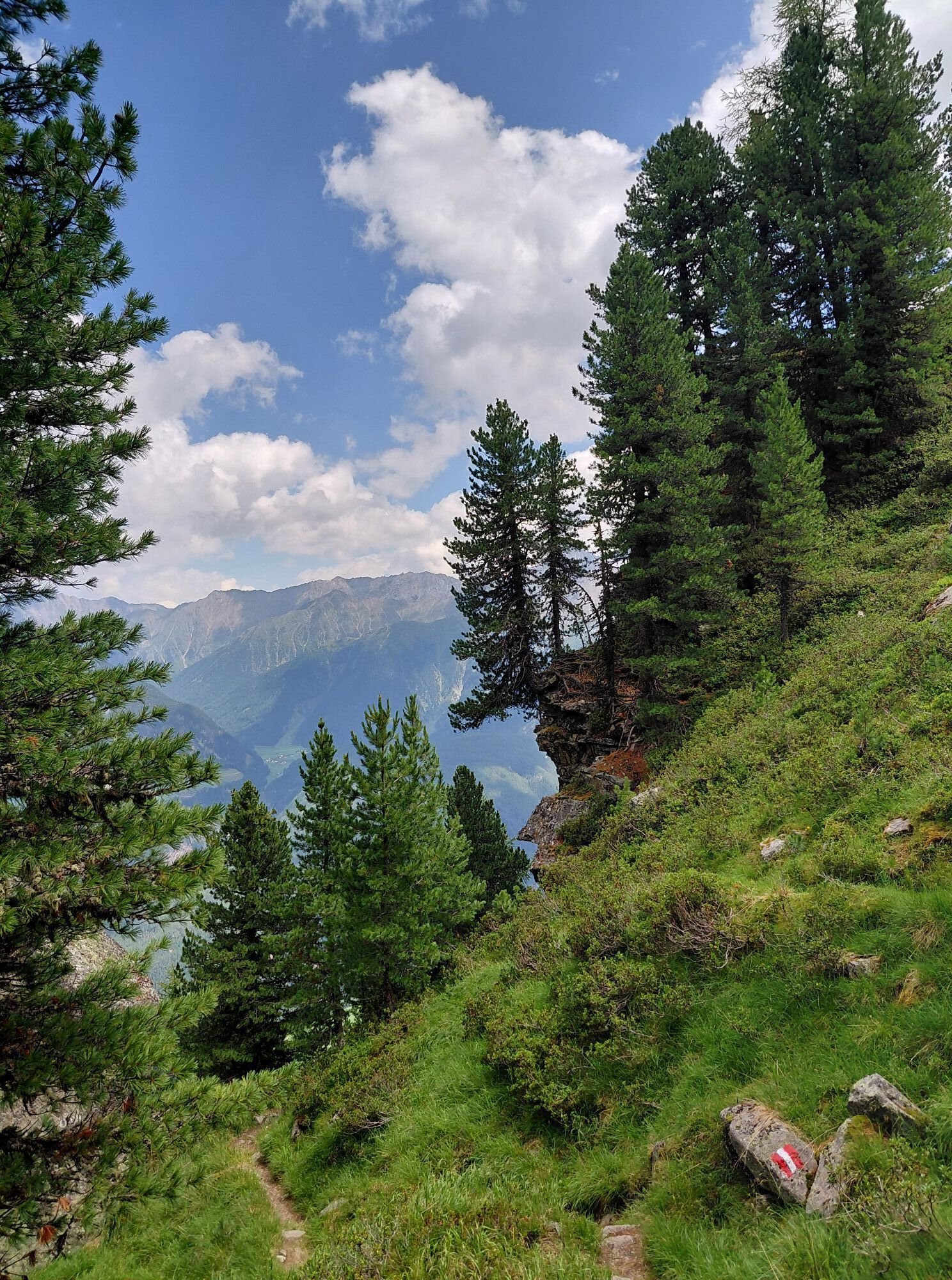
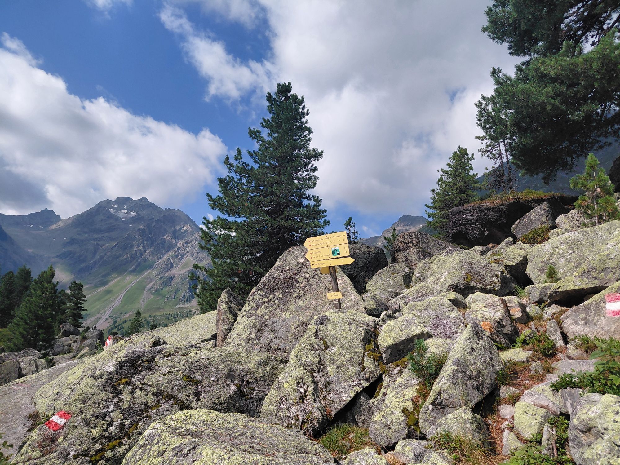
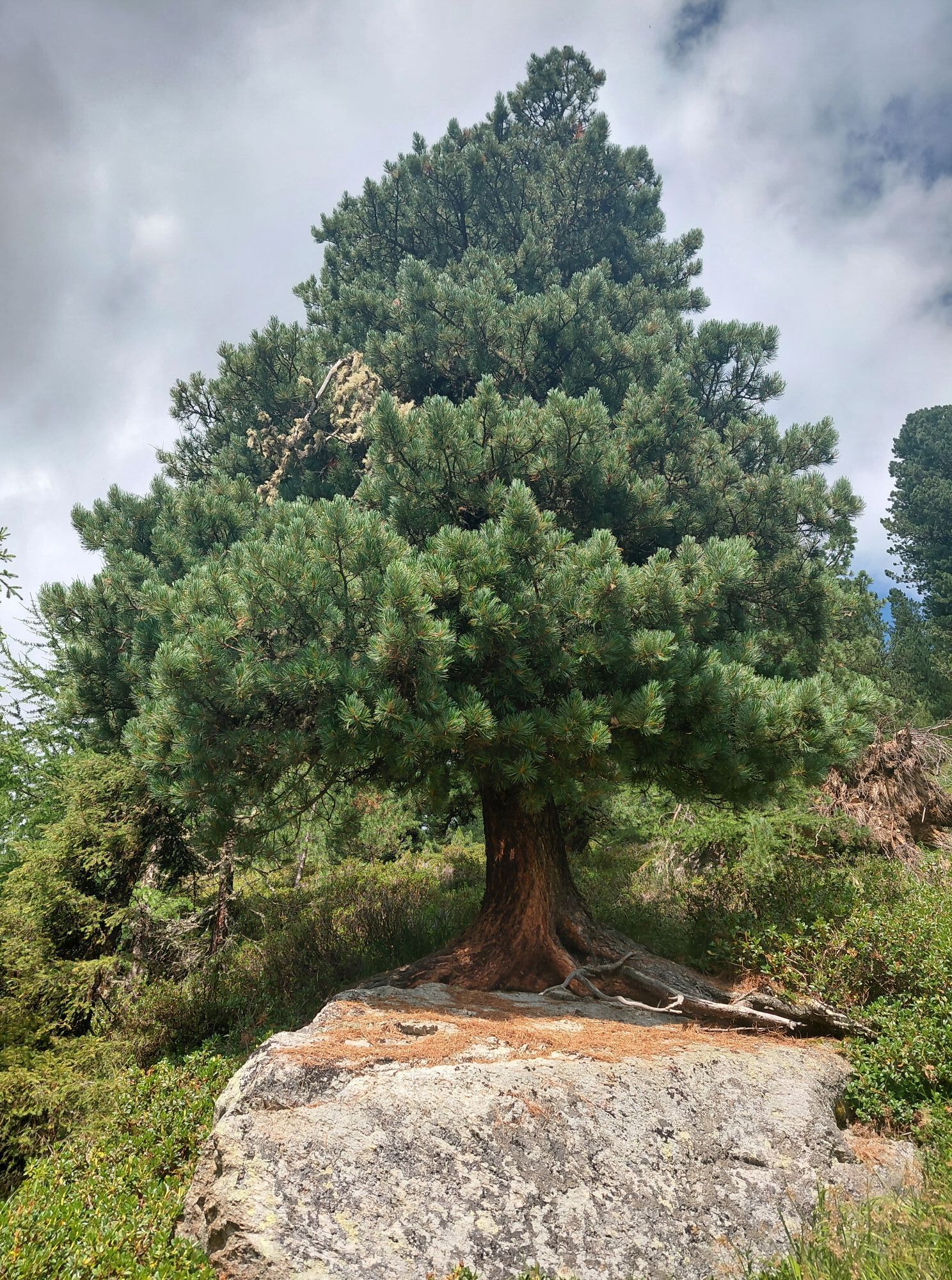
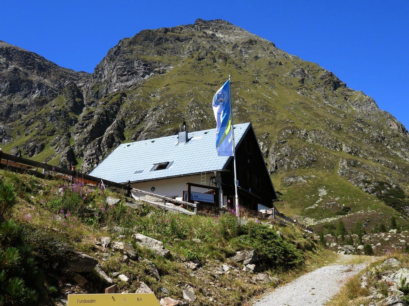
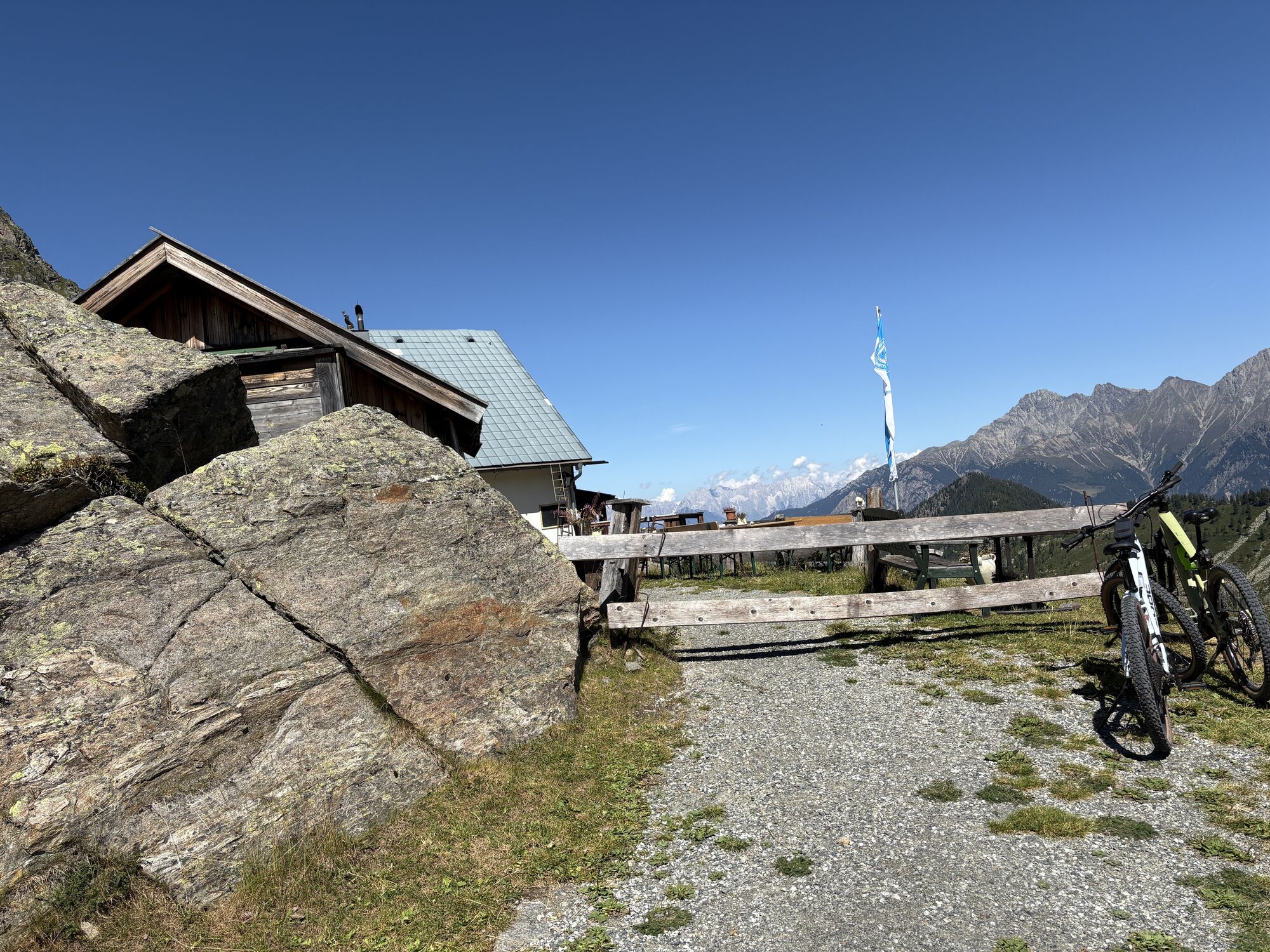
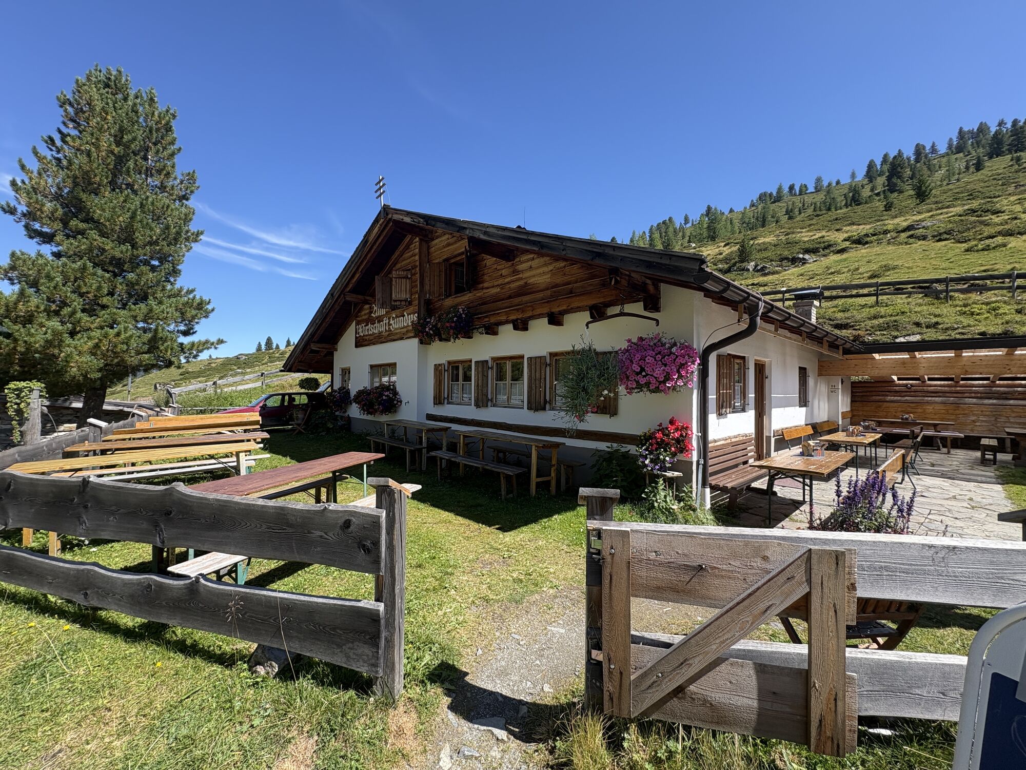
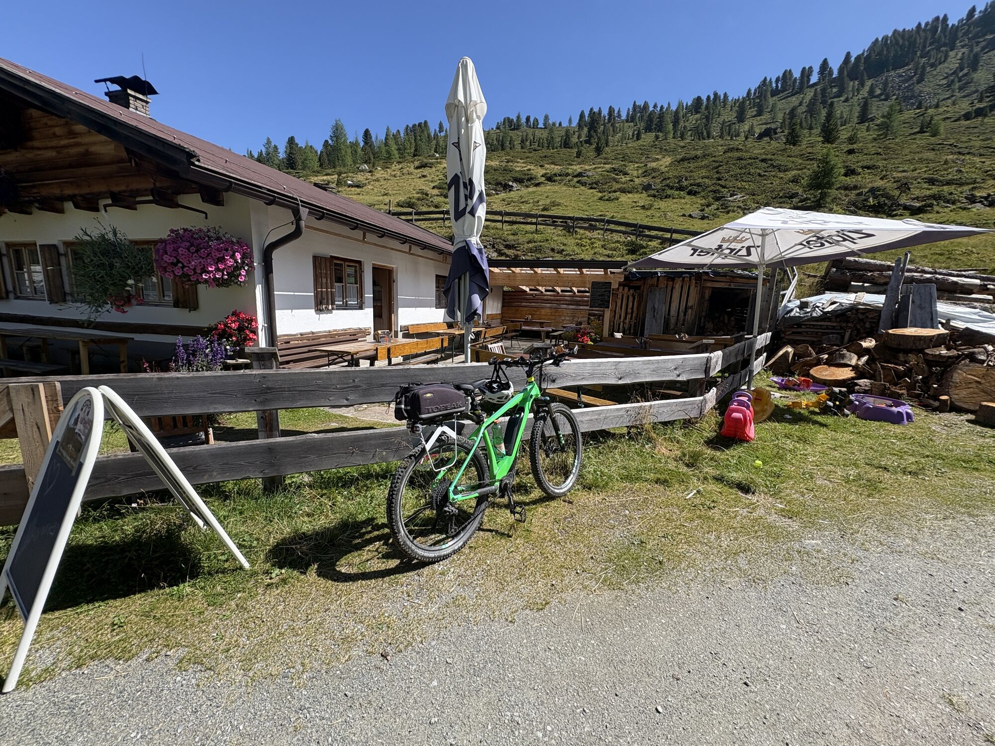
After a short ascent from the parking lot to the uppermost houses in Köfels, follow the signs to the Köfler Scharte/Frischmannhütte. First uphill over meadow slopes, the path soon leads into the forest and winds in even switchbacks up to the Köfler Scharte. Over rough boulders, you then reach the Köfler Waalweg. This leads about 2 kilometers along an old irrigation system. After this extremely impressive route with a magnificent view, you still have to cross a brook cut until you reach the Frischmannhütte over pasture lands. The Hintere Fundusalm becomes visible on the descending forest path. Both dining options are recommended, differing in their location. Then there is another short ascent from the Hintere Fundusalm to the Köfler Scharte, where the loop closes. Downwards to Köfels, follow the familiar ascent path.

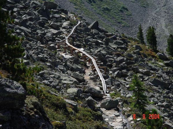
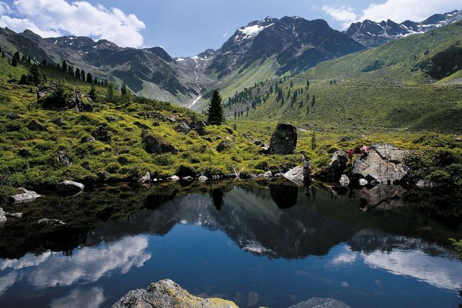
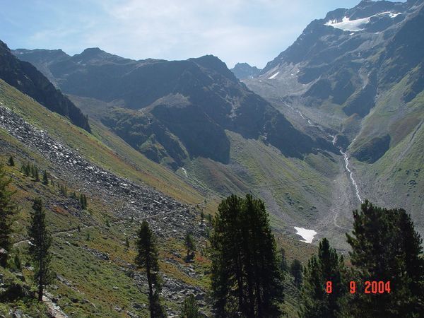
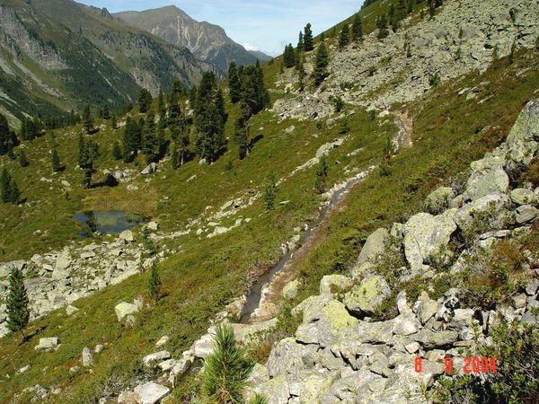
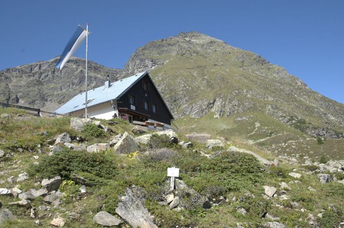
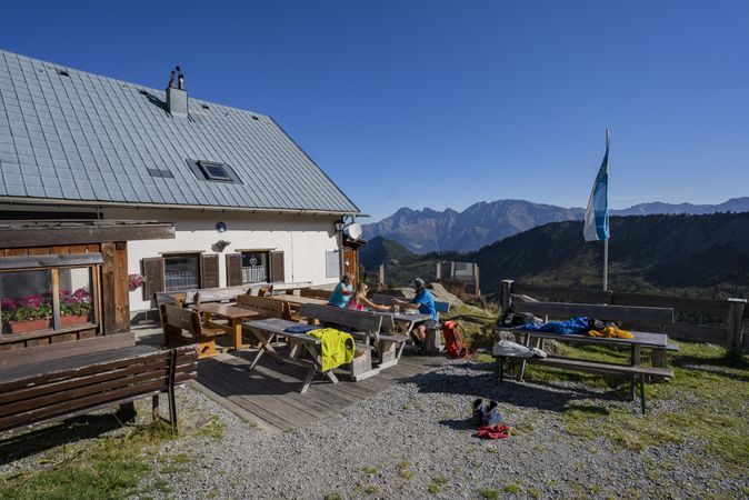

After a short ascent from the parking lot to the uppermost houses in Köfels, follow the signs to the Köfler Scharte/Frischmannhütte. First, uphill over meadow slopes, the path soon leads into the forest and winds up to the Köfler Scharte in even switchbacks. Over rough boulders, you then reach the Köfler Waalweg. This leads about 2 kilometers along an old irrigation system. After this extremely impressive route with a magnificent view, you still have to cross a brook cut until you reach the Frischmannhütte across pasture lands. The Hintere Fundusalm becomes visible on the descending forest path. Then there is another short ascent from the Hintere Fundusalm to the Köfler Scharte, where the loop closes. Downwards towards Köfels, follow the familiar ascent path.
Áno
Appropriate equipment such as breathable and weather-adapted outdoor clothing, ankle-high hiking boots, wind, rain, and sun protection, a hat, possibly gloves, is required for all hikes and routes. Bringing a first-aid kit, a mobile phone, and possibly a hiking map, as well as sufficient provisions for hikes without dining options, is necessary.
Moderate mountain trail; suitable for sure-footed and experienced hikers;
Good physical condition, mountaineering experience, and mountain equipment (see under equipment) necessary
Please observe the current weather report
Driving into the ÖTZTAL. Located in Tyrol, the Ötztal branches off to the south as the longest side valley of the Eastern Alps. Travel by car takes visitors through the Inn valley to the valley entrance and further along the Ötztal. In addition to the toll highway, country roads can also be used. You can quickly and conveniently determine your route with the route planner.
To the route planner: https://www.google.at/maps
Travel comfortably and safely by train to the Ötztal train station. The final stop or exit point is ÖTZTAL station. Afterwards, travel conveniently and quickly by public transport or local taxi companies through the entire valley to your desired destination! The current bus schedule can be found at: http://fahrplan.vvt.at
In Köfels, the following parking options are available to you:
Parking lot Köfels | Cost: € 6.00 per day, paid from 07:00 - 18:30
Guests with disabilities park for free - please display your ID
More information about hiking in the Ötztal can be found here
Köfler Jochwaal - This irrigation system was built in the mid-15th century to better utilize farmland and meadow soils.
Webové kamery z prehliadky
-
Niederthai im Ötztal
-
Niederthai - Alpin Appart
-
Umhausen - Vivea Gesundheitshotel
-
Umhausen - der Veitenhof
-
Stuibenfall
-
Stuibenfall
-
Stuibenfall
-
Stuibenfall
-
Stuibenfall
-
Umhausen / Hotel Tauferberg
-
Umhausen / Hotel Tauferberg
-
Umhausen / Hotel Tauferberg
-
Umhausen / Hotel Tauferberg
-
Umhausen / Hotel Tauferberg
-
Niederthai - Delano
-
Niederthai - Delano
-
Umhausen / Hotel Tauferberg
Získajte prehľad
Vždy naživo na mieste s viac ako 9 500 webovými kamerami. bergfex Ako používateľ Pro si teraz môžete pozrieť príslušné webové kamery pre mnohé zájazdy v aplikácii zájazdy z. Môžete si tak priamo prezerať aktuálne podmienky.
Obľúbené výlety v okolí
-
4,6
Winnebachsee Hut – Längenfeld/Gries
strednáTuristika 4,74 km -
4,7
Winter circular route Brandalm/Burgstein - Längenfeld 204
strednáZimná turistika 5,44 km -
4,3
Hike Stuibenfall - Umhausen
svetloTuristika 2,95 km -
4,3
Stuibenfall Umhausen circular hike
svetloTuristika 9,32 km -
4,5
Oetz - Piburger See - Oetz
strednáTuristika 7,16 km -
4,4
Rundwanderung Hängebrück3
svetloTuristika 6,32 km -
4,3
Amberger Hut - Längenfeld/Gries
strednáTuristika 5,60 km -
4,7
Summit route Faltegartenköpfl
strednáTuristika 4,04 km -
4,8
lake Piburger See
svetloTuristika 2,75 km -
4,6
Circular hike Bergmahderweg - Niederthai
svetloTuristika 7,60 km
Turistika a stopovanie


Nenechajte si ujsť ponuky a inšpiráciu na ďalšiu dovolenku
Vaša e-mailová adresa bol pridaný do poštového zoznamu.





