


Farst - Umhausen
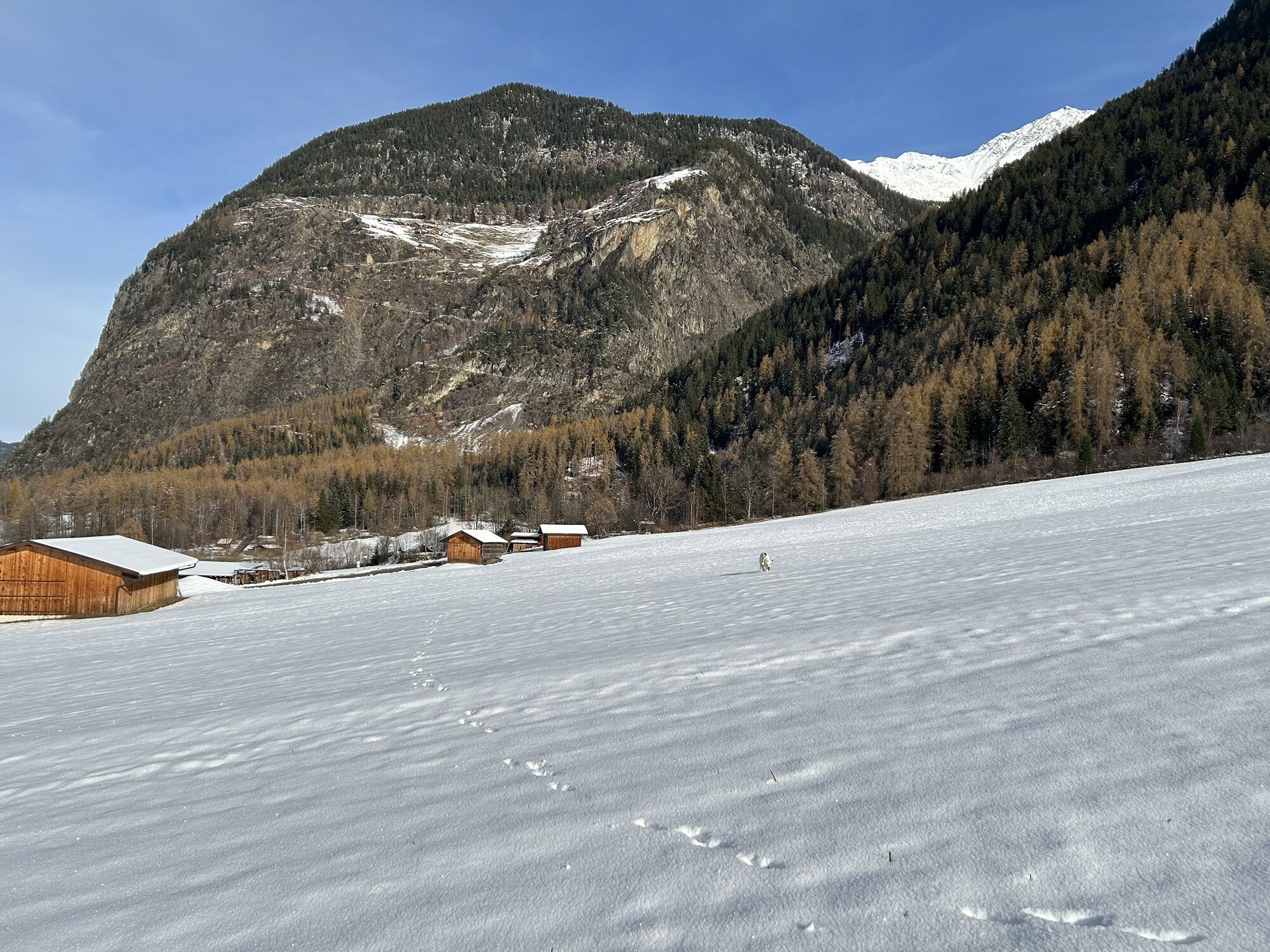
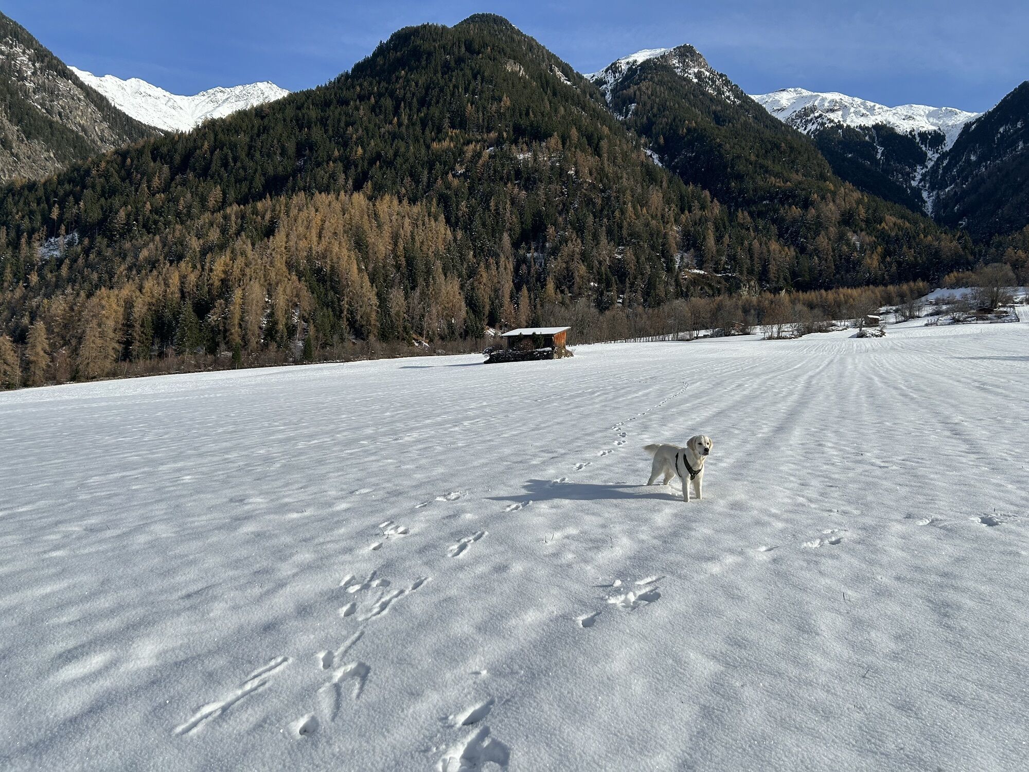
Like a small kingdom, Farst perches 1,482 meters above Umhausen. Situated high above the legendary Engelswand, visitors who dare to climb the steep rock-cut switchbacks are rewarded with a breathtaking...
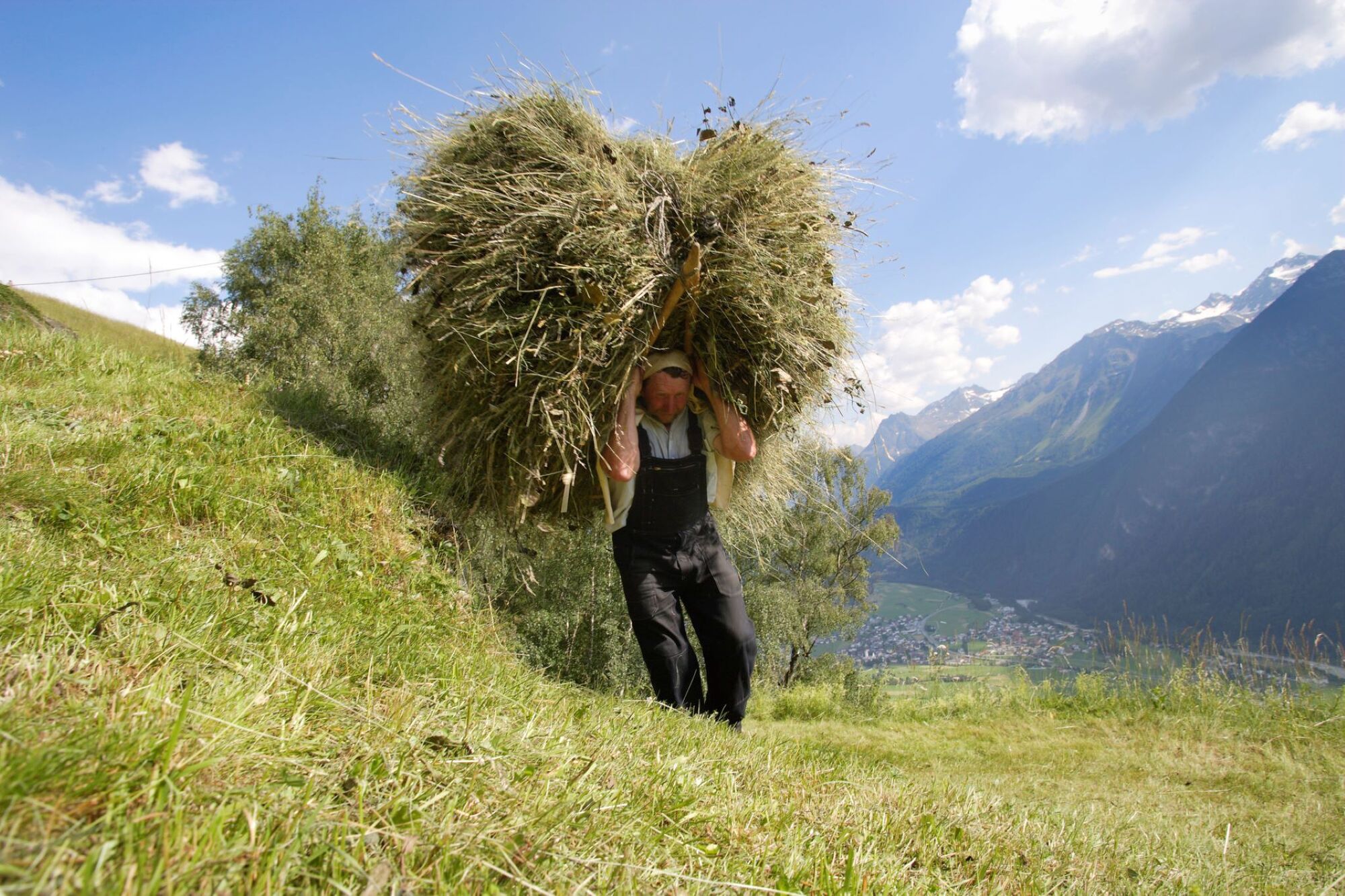
Like a small kingdom, Farst perches 1,482 meters above Umhausen. Situated high above the legendary Engelswand, visitors who dare to climb the steep rock-cut switchbacks are rewarded with a breathtaking panorama and warm hospitality. Farst is one of the oldest settlements in the valley; a farmstead was founded here as early as the 13th century. A little secret for nature lovers is the further ascent to Reichalm (not managed), about 1 hour walking time from Farst.

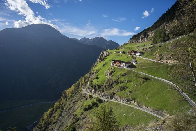
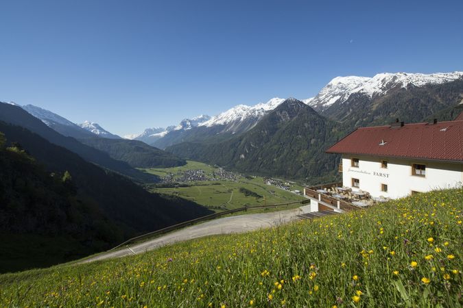
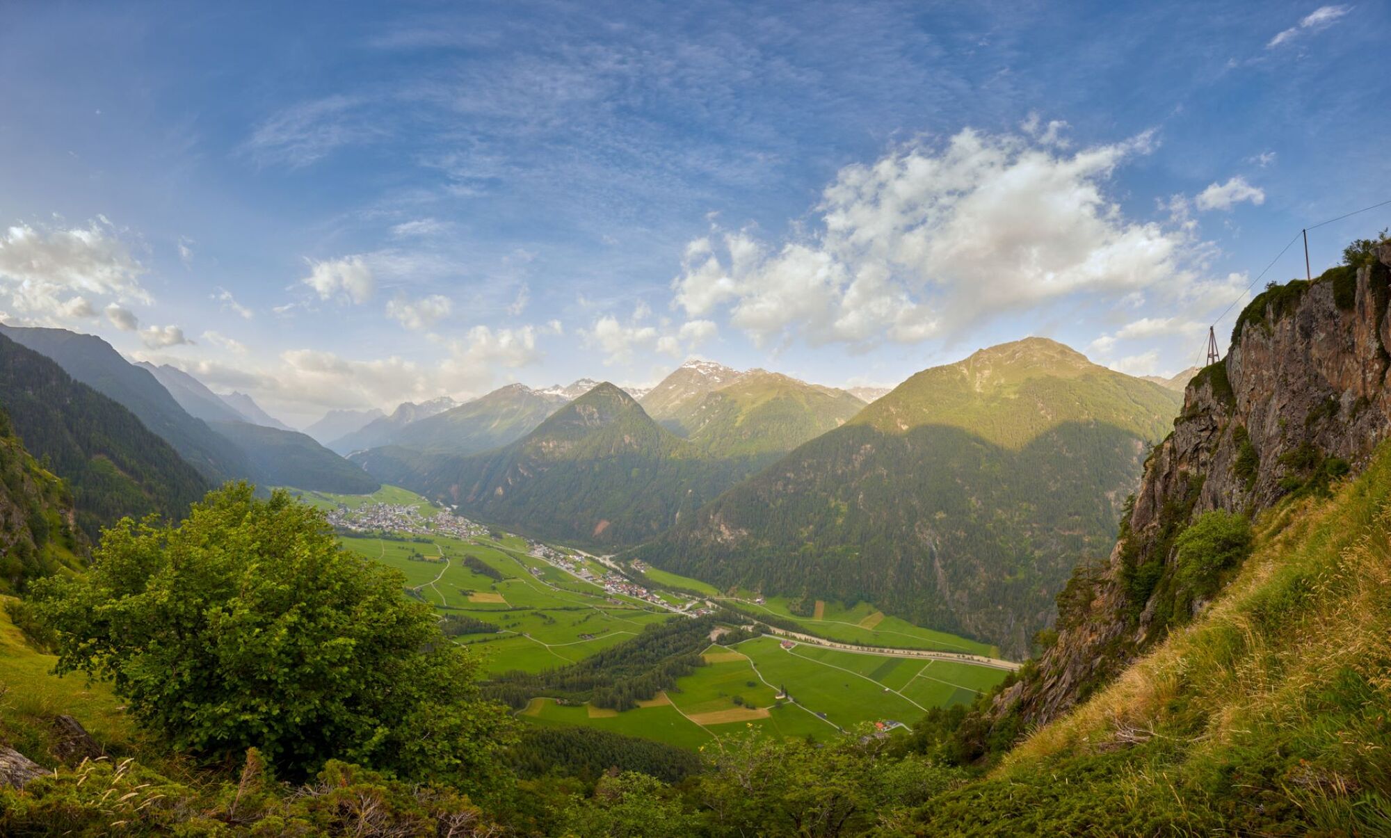
The starting point is the Mure car park in the village center of Umhausen. From there, you walk gently downhill through meadows and fields to the foot of the Engelswand. From there, the path continues upwards in switchbacks to Farst. At the top, you can enjoy a magnificent panoramic view of Umhausen and the surrounding area. Those who wish can continue over mountain meadows to Reichalm (not managed). Alternatively, the hike can also be started at the foot of the Engelswand.
Áno
Appropriate equipment such as breathable and weather-appropriate outdoor clothing, ankle-high hiking boots, wind, rain and sun protection, a hat, and possibly gloves is required for all hikes and routes. Bringing a first aid kit, a mobile phone, and possibly a hiking map, as well as sufficient provisions on hikes with no catering options, is necessary.
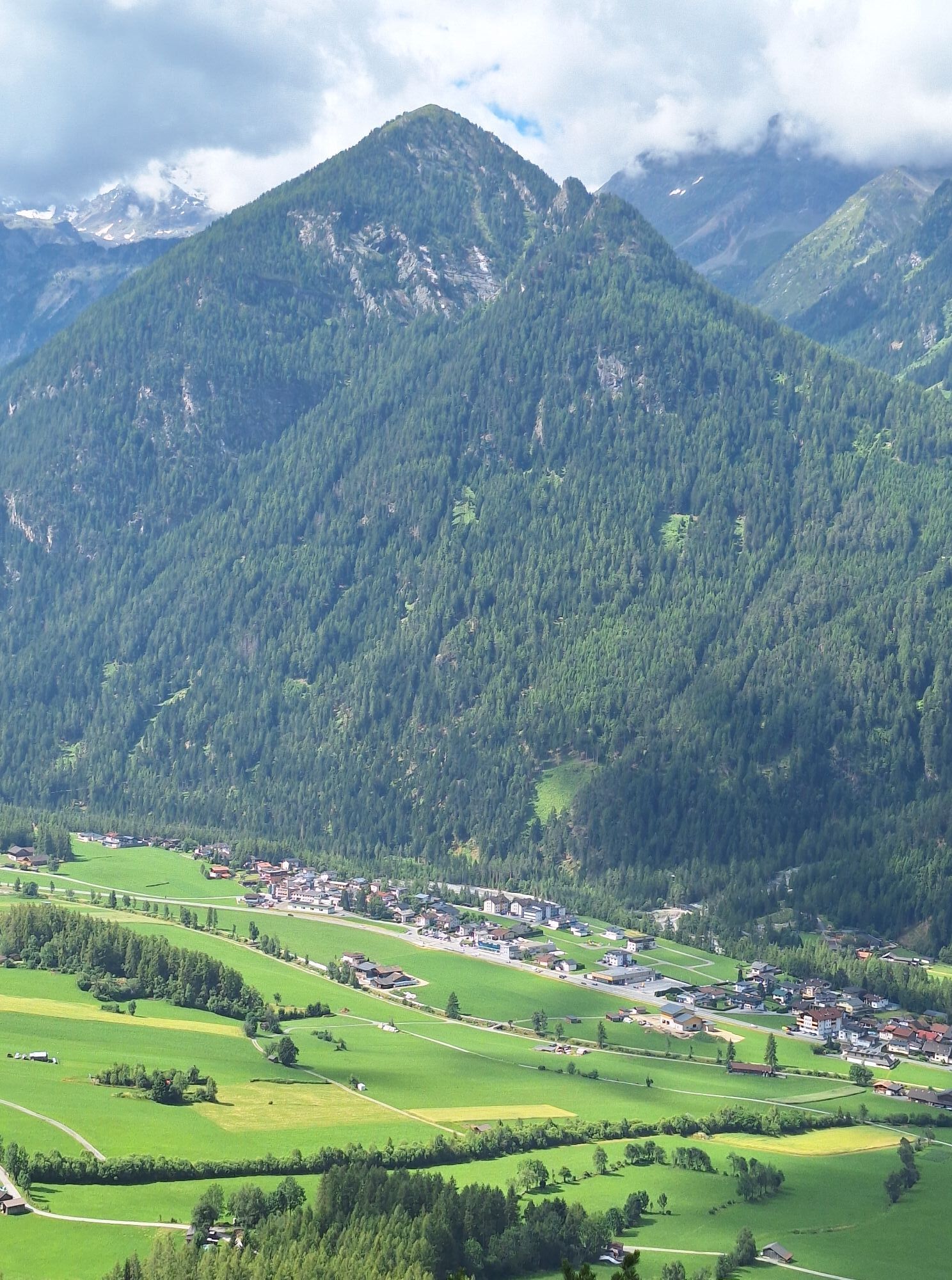
The car journey to the ÖTZTAL. Located in Tyrol, the Ötztal valley branches off to the south as the longest side valley of the Eastern Alps. Traveling by car, holidaymakers drive through the Inn valley to the valley entrance and continue along the Ötztal. In addition to the toll motorway, country roads can also be used. Your trip can be quickly and conveniently planned with the route planner.
Route planner: https://www.google.at/maps
Travel comfortably and safely by train to the Ötztal train station. The final destination or exit point is the ÖTZTAL station. From there, you travel conveniently and quickly with public transport or local taxi companies through the entire valley to your desired destination! The current bus schedule is available at: http://fahrplan.vvt.at
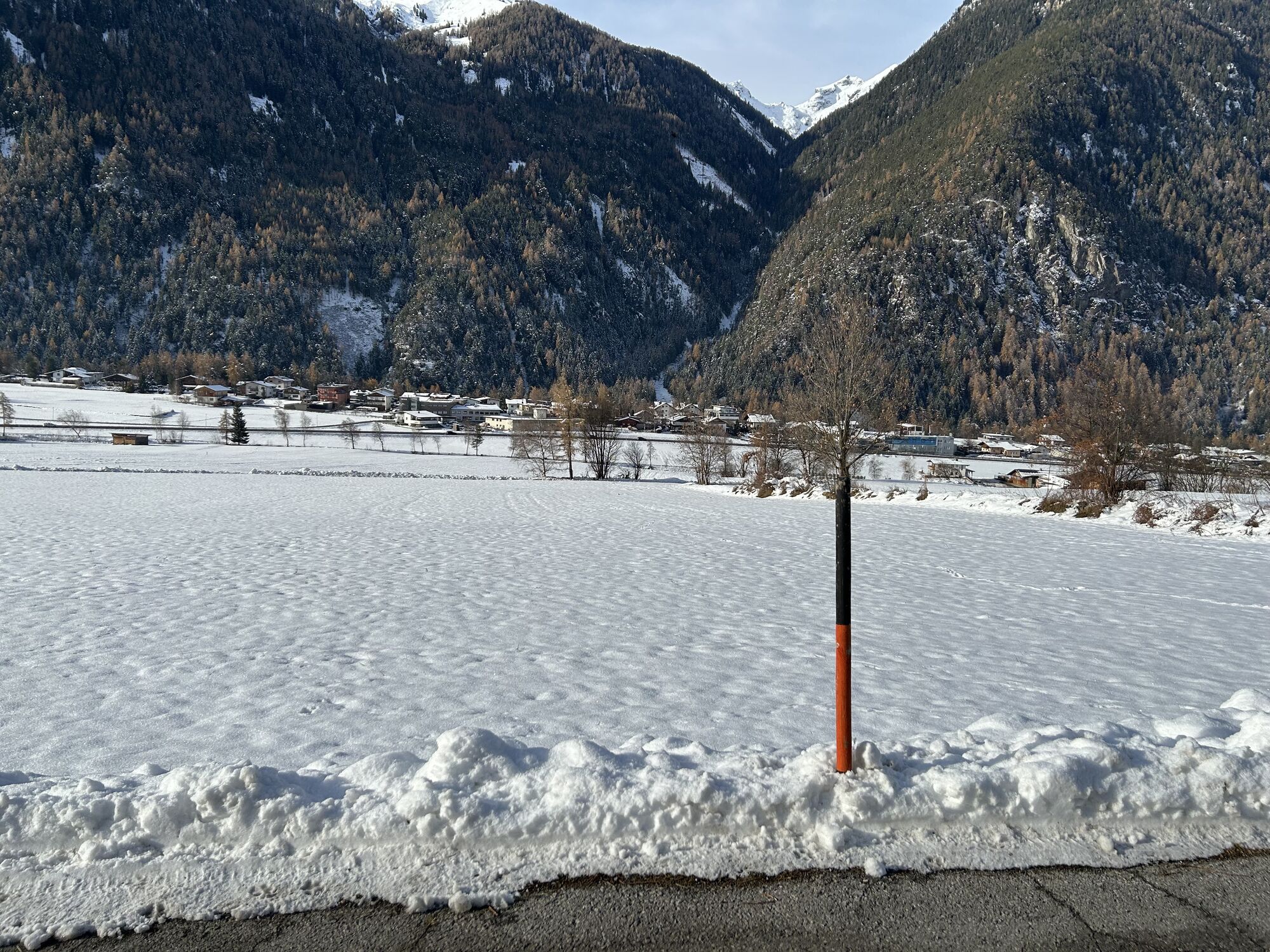
The following parking options are available in Umhausen:
Mure car park | free of charge
Aktivity počas prehliadky
-

Umhausen, Tirol/Österreich
17.05.2026 – Horská turistika -

Umhausen, Tirol/Österreich
24.04.2026 – Turistika -
Umhausen, Tirol/Österreich
19.03.2026 – Turistika -
Umhausen, Tirol/Österreich
05.11.2025 – Turistika -
Umhausen, Tirol/Österreich
12.10.2025 – Turistika -

Umhausen, Tirol/Österreich
12.08.2025 – Turistika
Obľúbené výlety v okolí
-
4,5
Winnebachsee Hut – Längenfeld/Gries
strednáTuristika 4,74 km -
4,2
Hike Stuibenfall - Umhausen
svetloTuristika 2,95 km -
4,4
Stuibenfall Umhausen circular hike
svetloTuristika 9,32 km -
4,4
Rundwanderung Hängebrück3
svetloTuristika 6,32 km -
4,5
Oetz - Piburger See - Oetz
strednáTuristika 7,16 km -
4,7
Winter circular route Brandalm/Burgstein - Längenfeld 204
strednáZimná turistika 5,44 km -
4,3
Lampsenspitze, Sellrain, Tirol
strednáSkitour 4,97 km -
4,3
Amberger Hut - Längenfeld/Gries
strednáTuristika 5,60 km -
4,7
Summit route Faltegartenköpfl
strednáTuristika 4,04 km -
4,6
Umhausen - Stuibenfall - Umhausen
strednáTuristika 7,94 km
Turistika a stopovanie


Nenechajte si ujsť ponuky a inšpiráciu na ďalšiu dovolenku
Vaša e-mailová adresa bol pridaný do poštového zoznamu.