







Vorderer Sulzkogel 2796m - Längenfeld/Gries
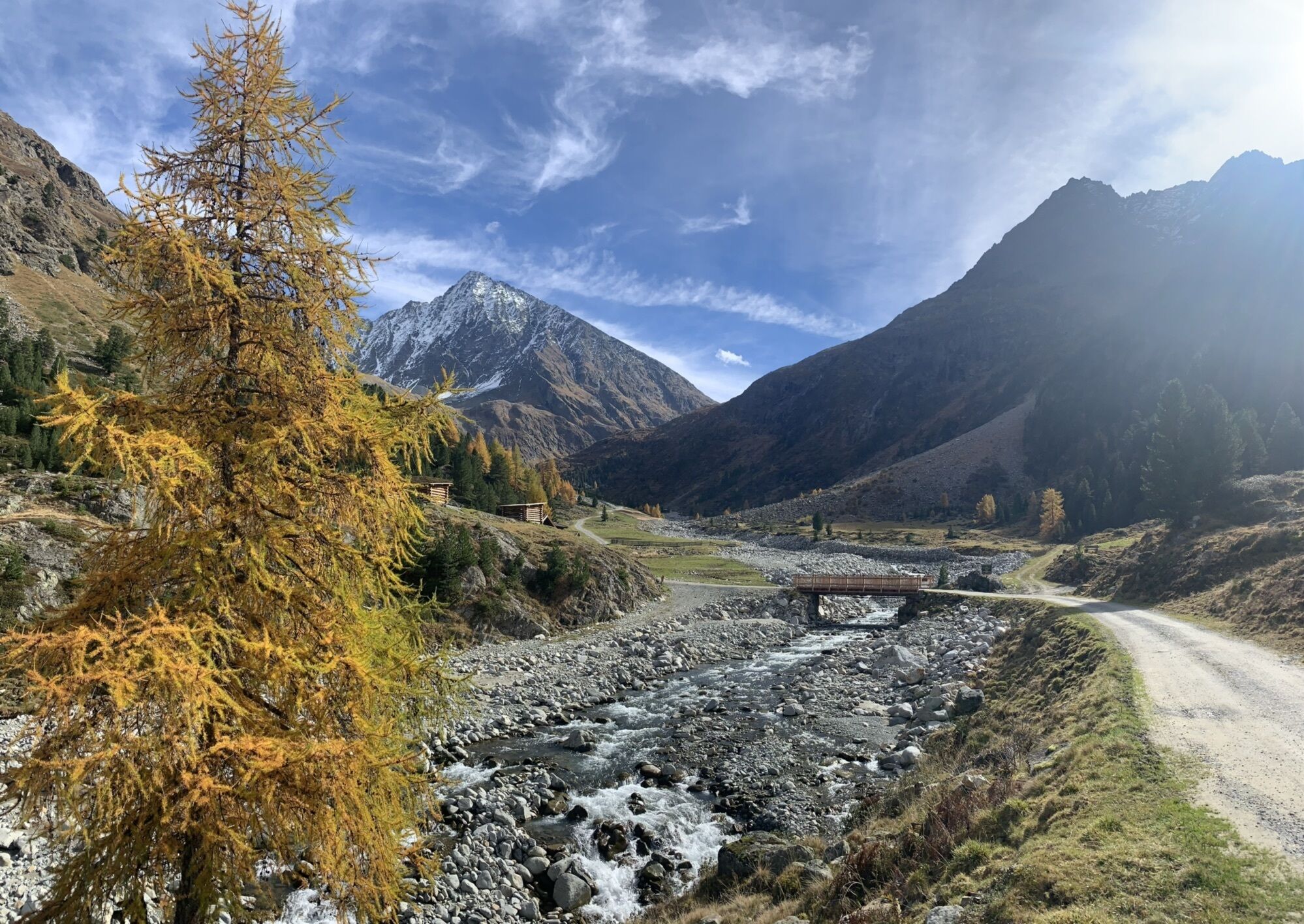
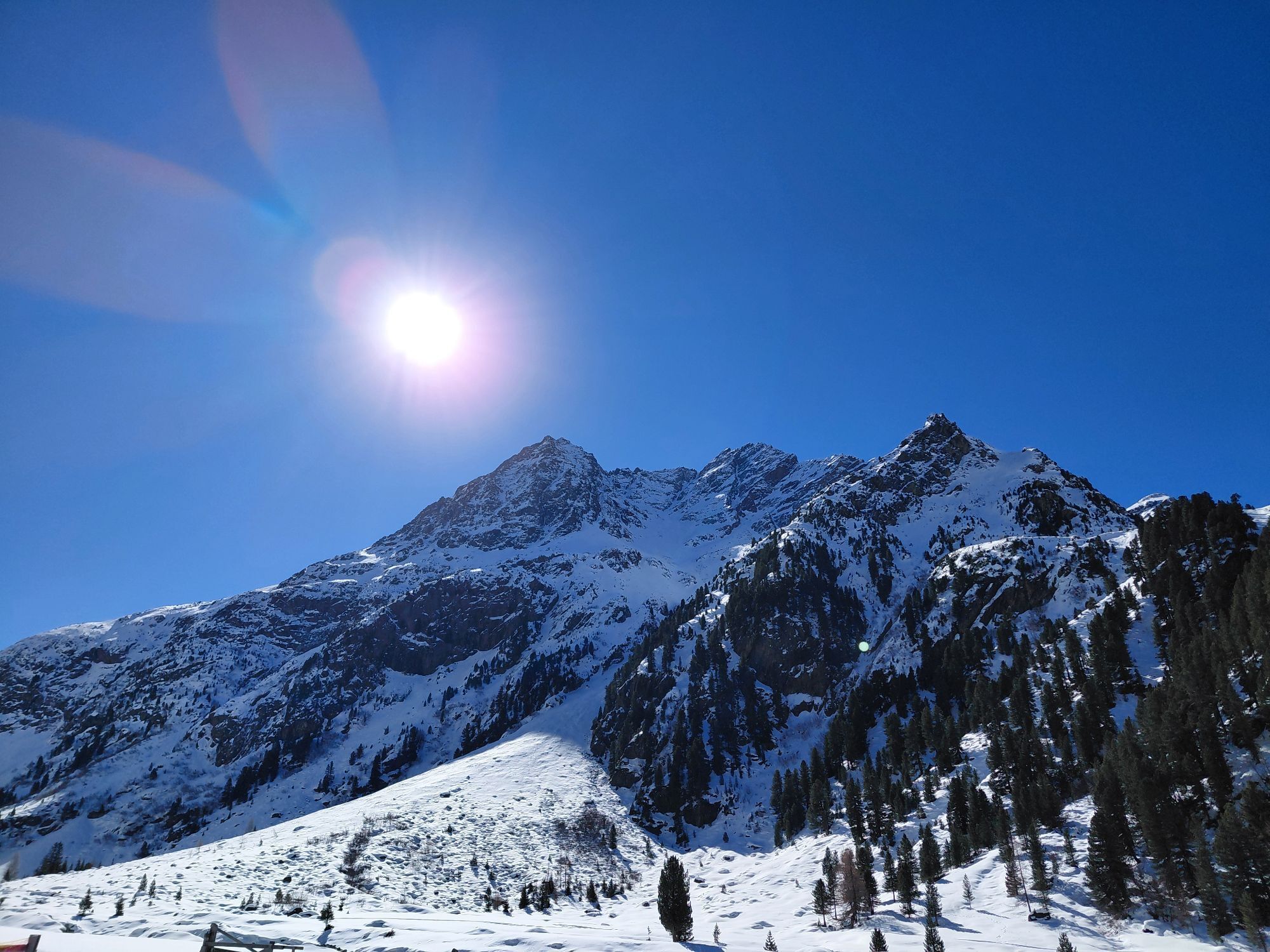
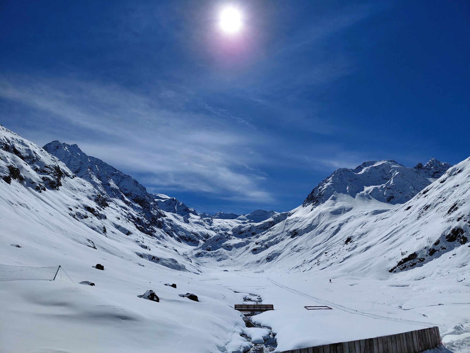
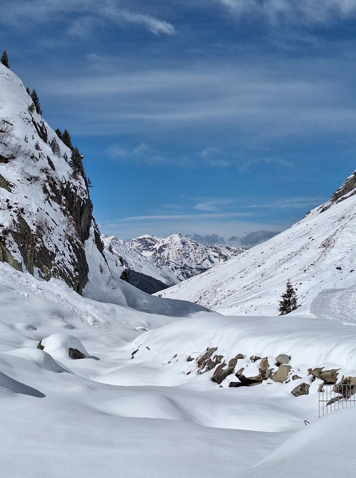
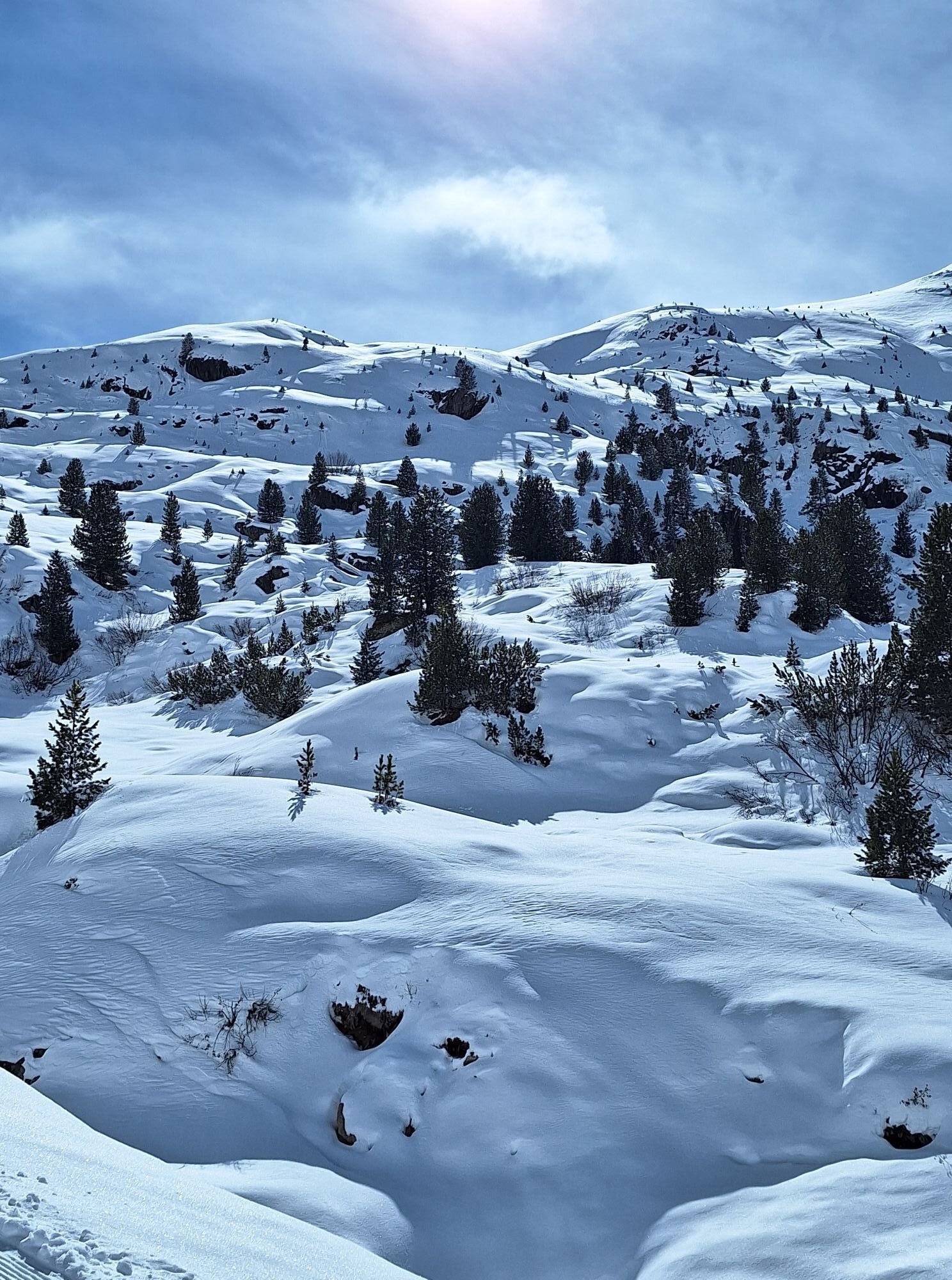
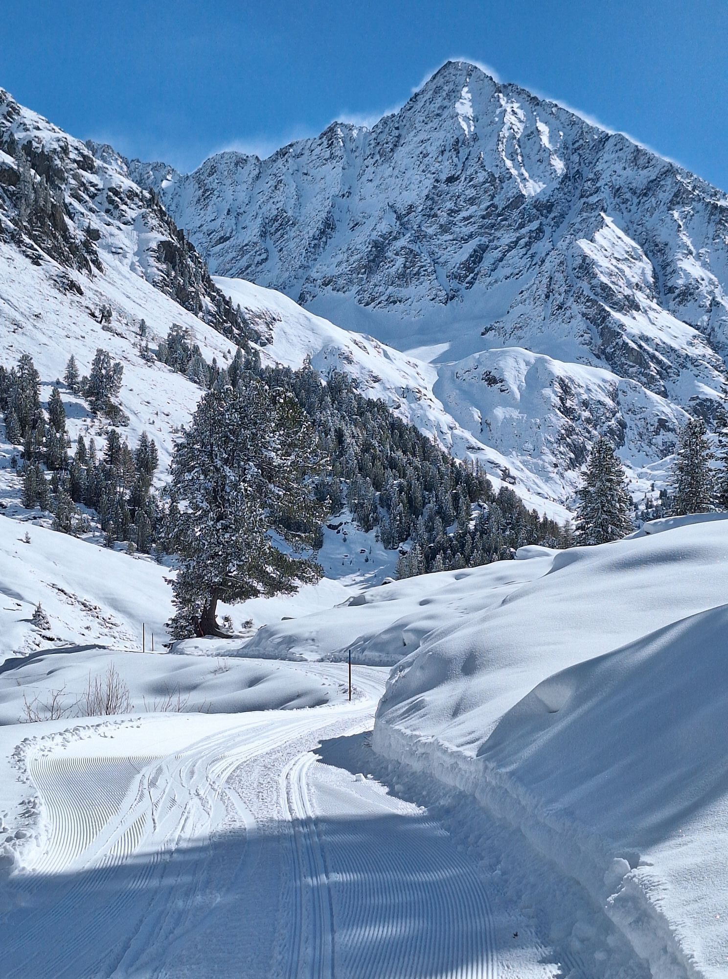
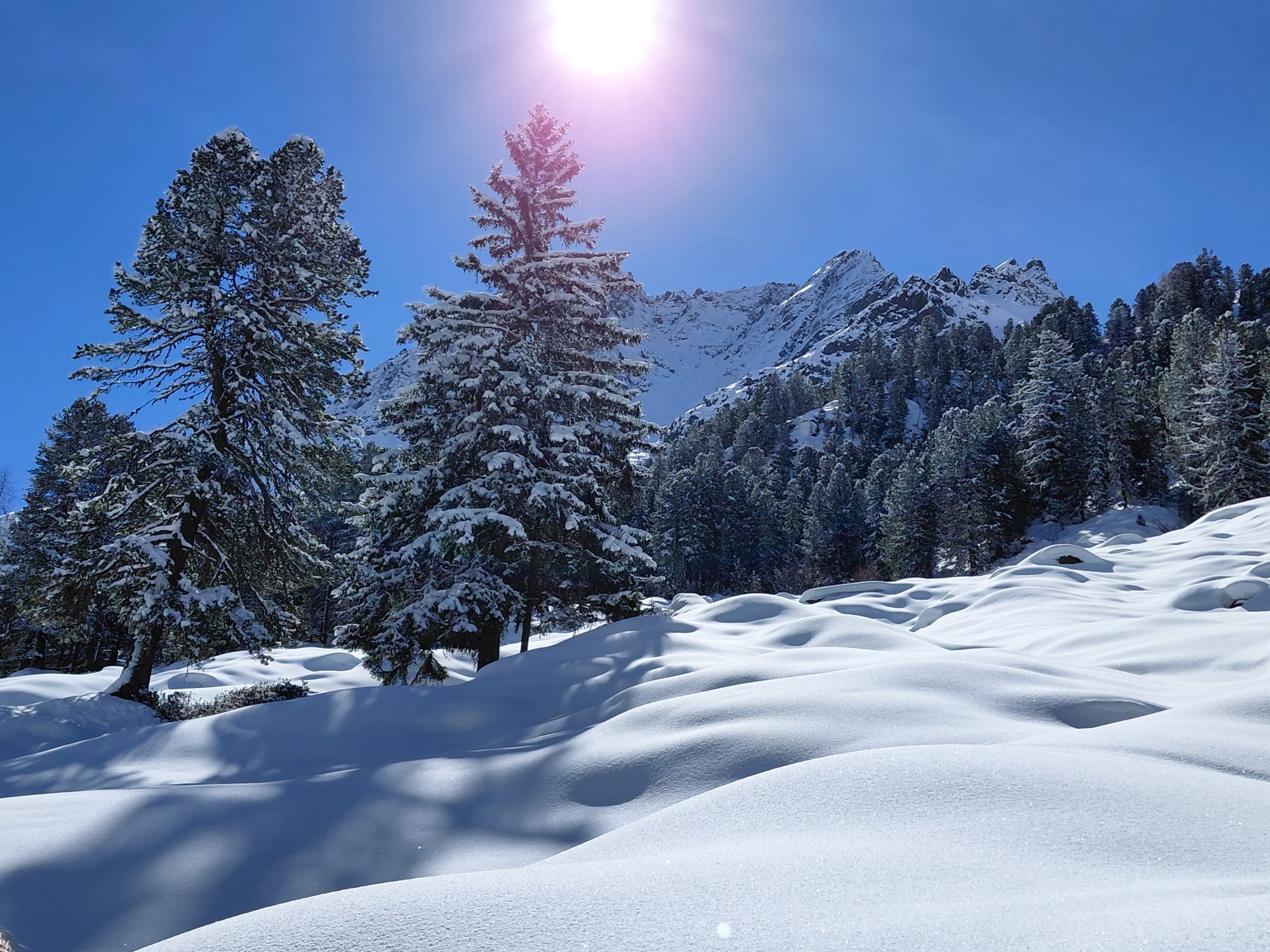
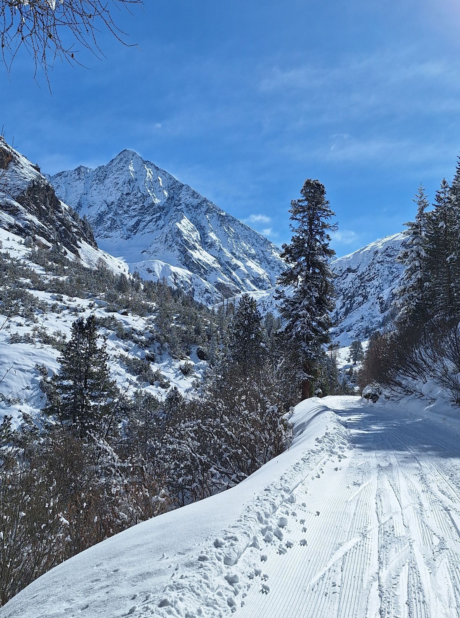
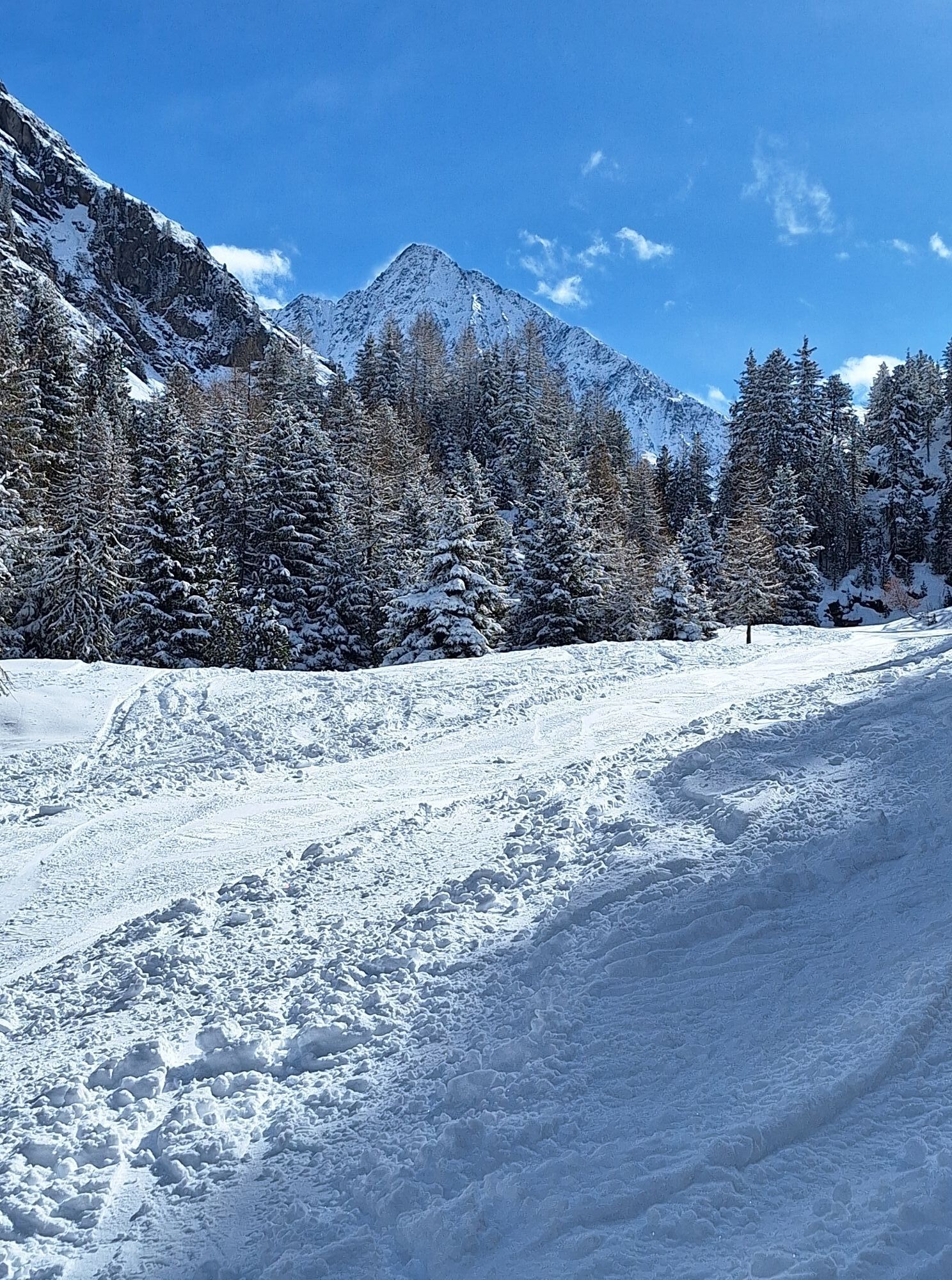
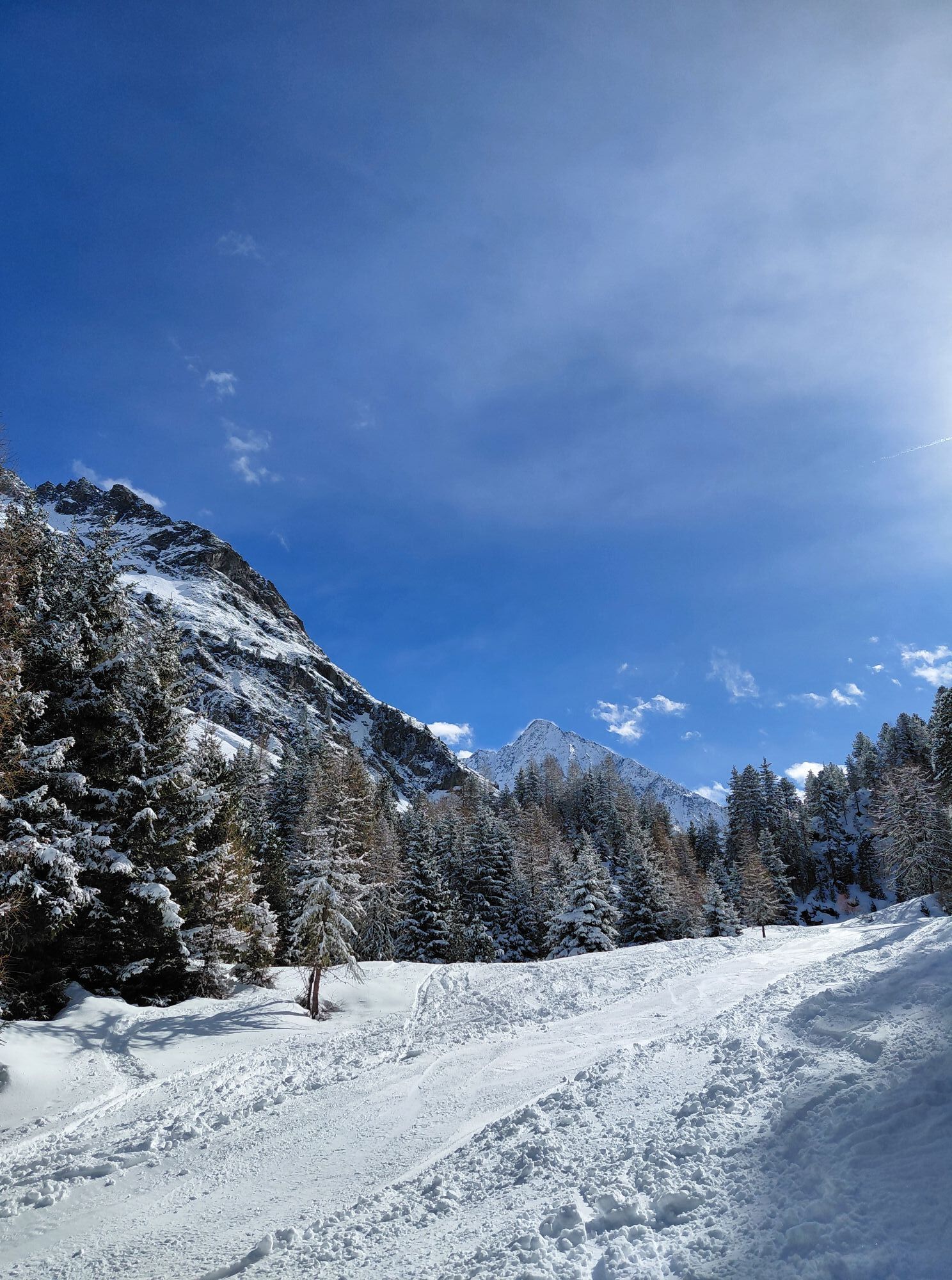
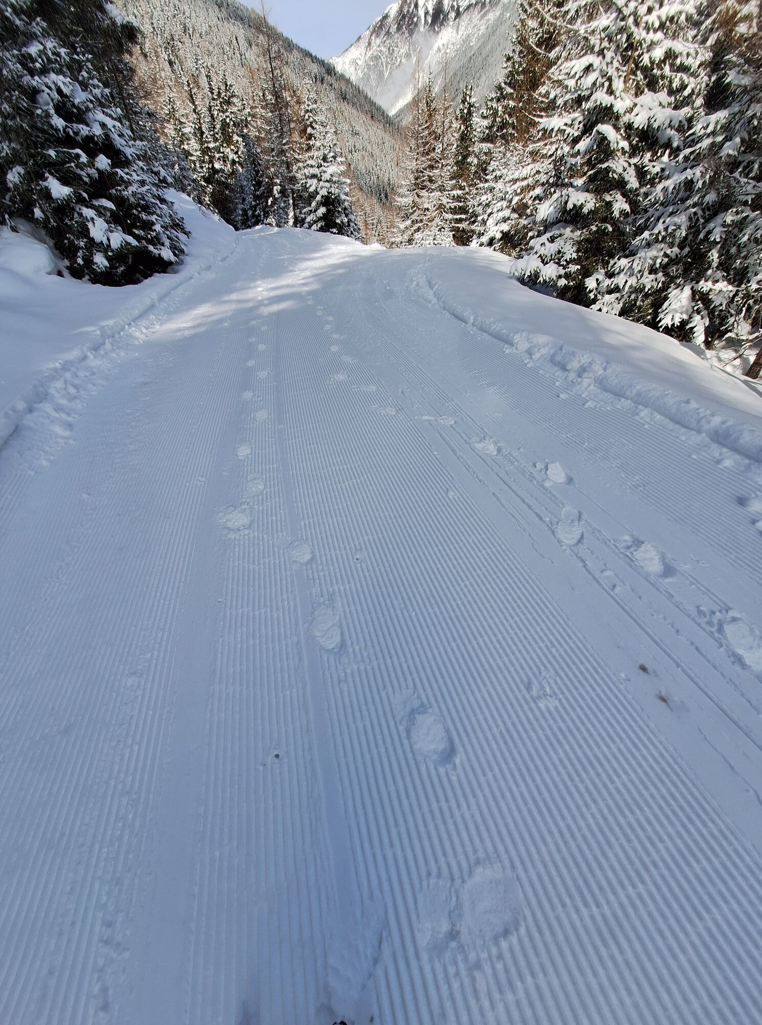
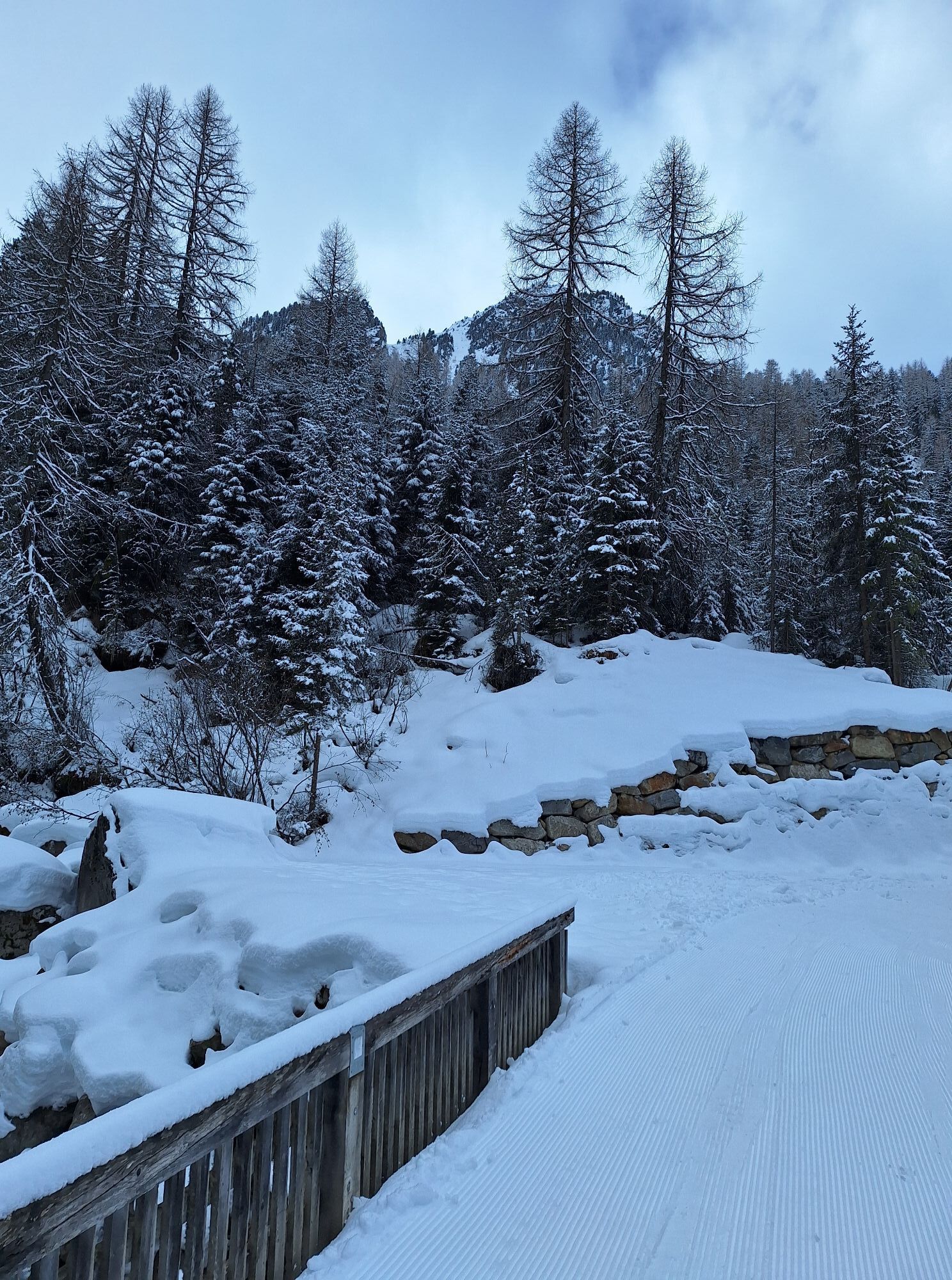
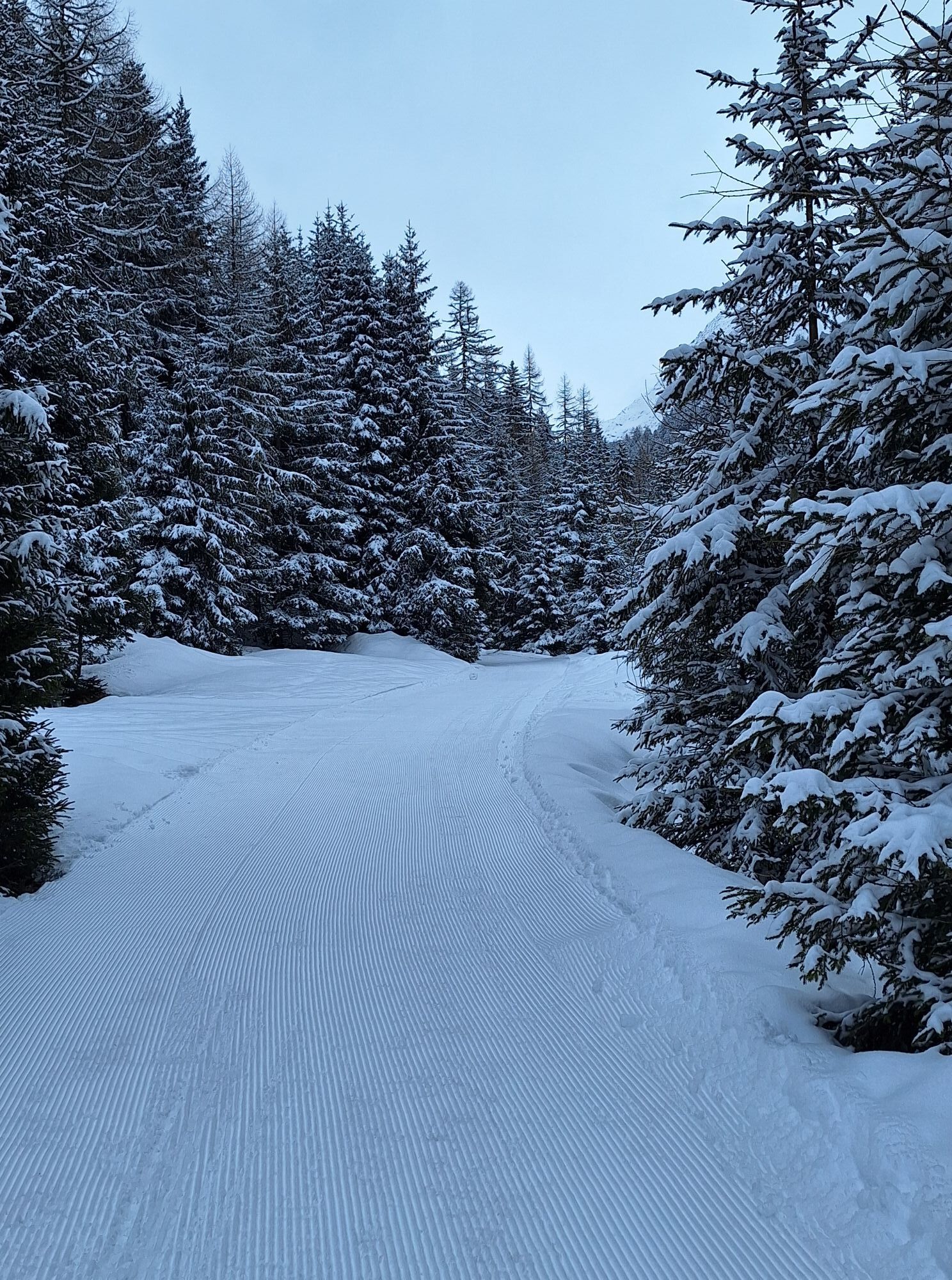
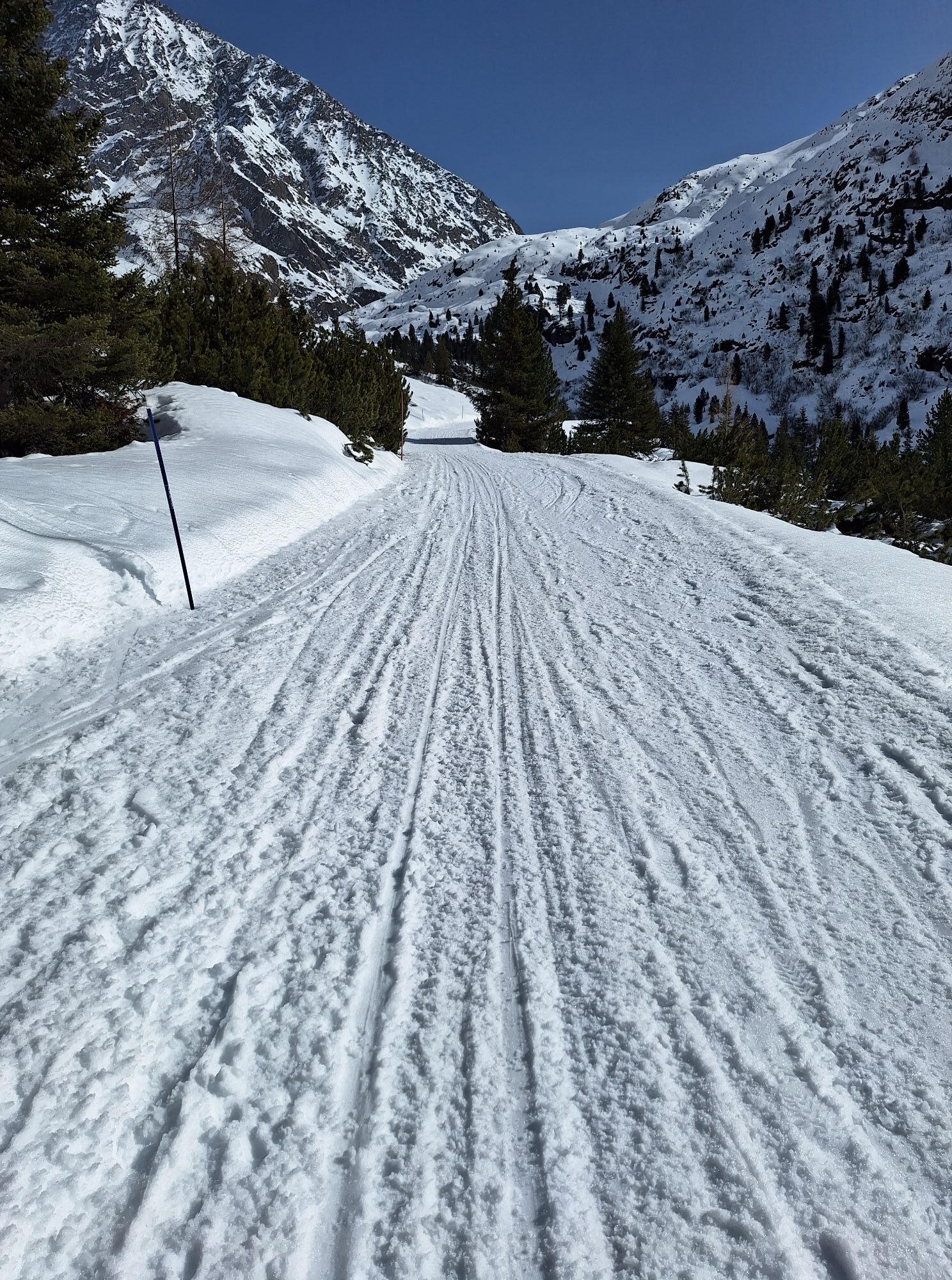
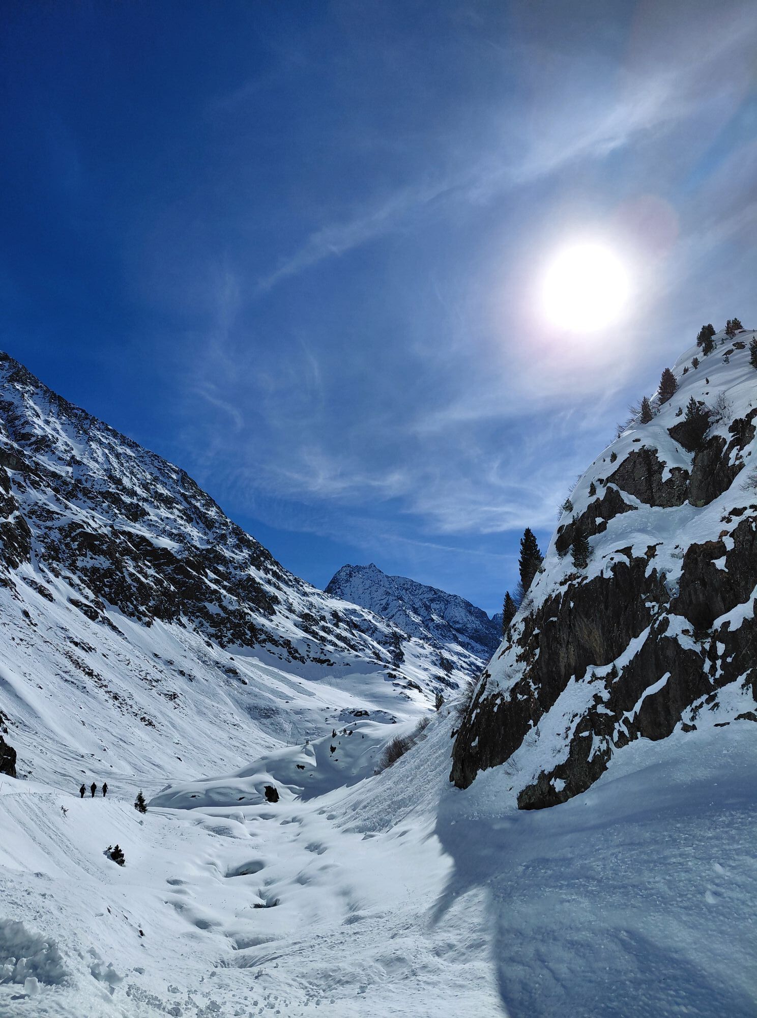
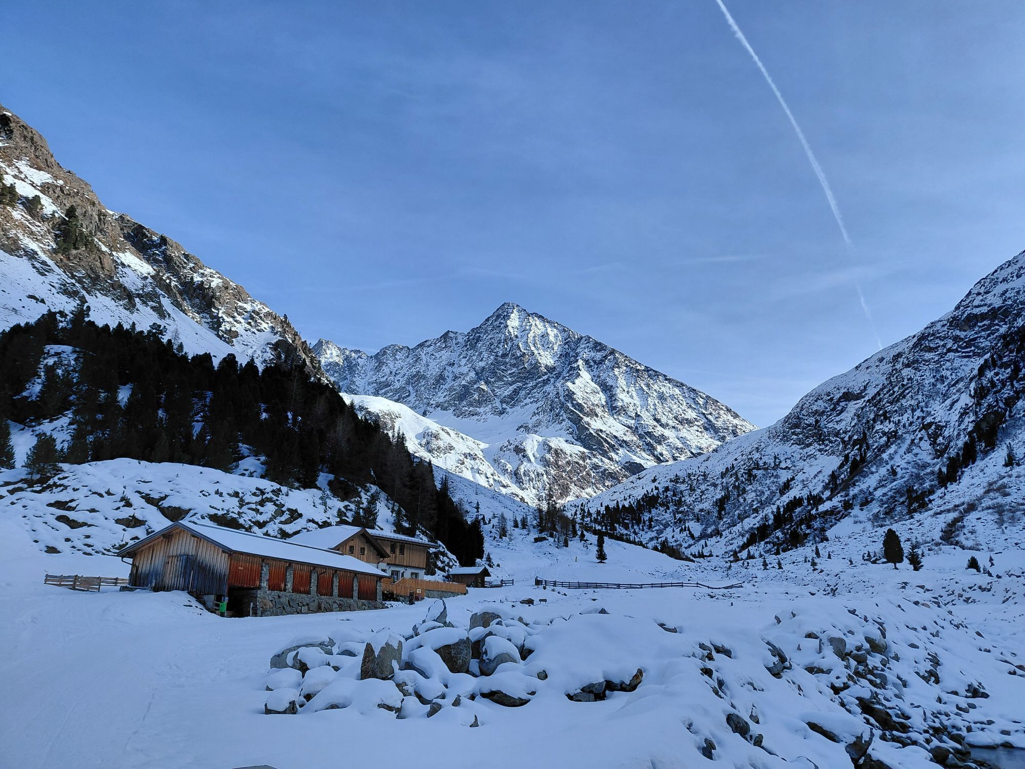
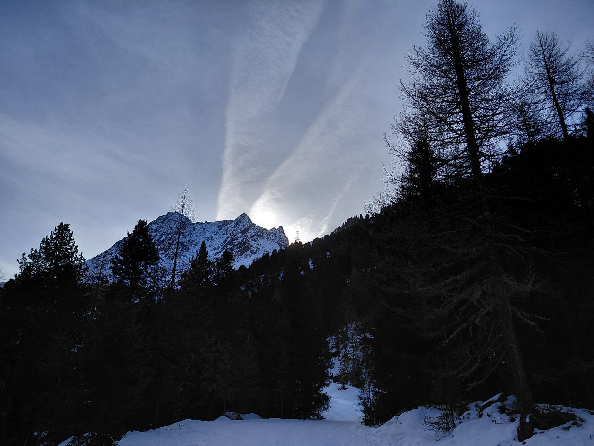
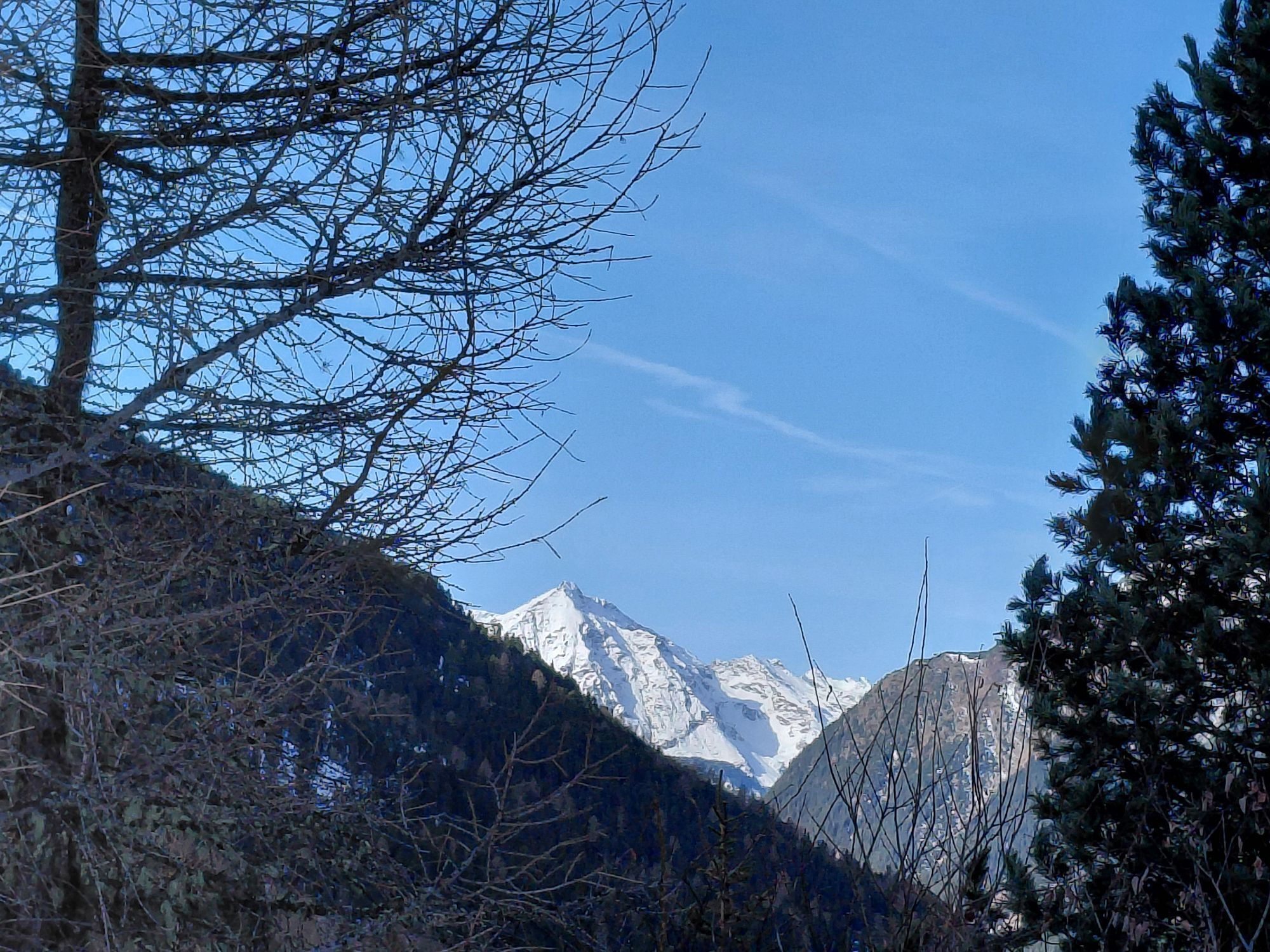
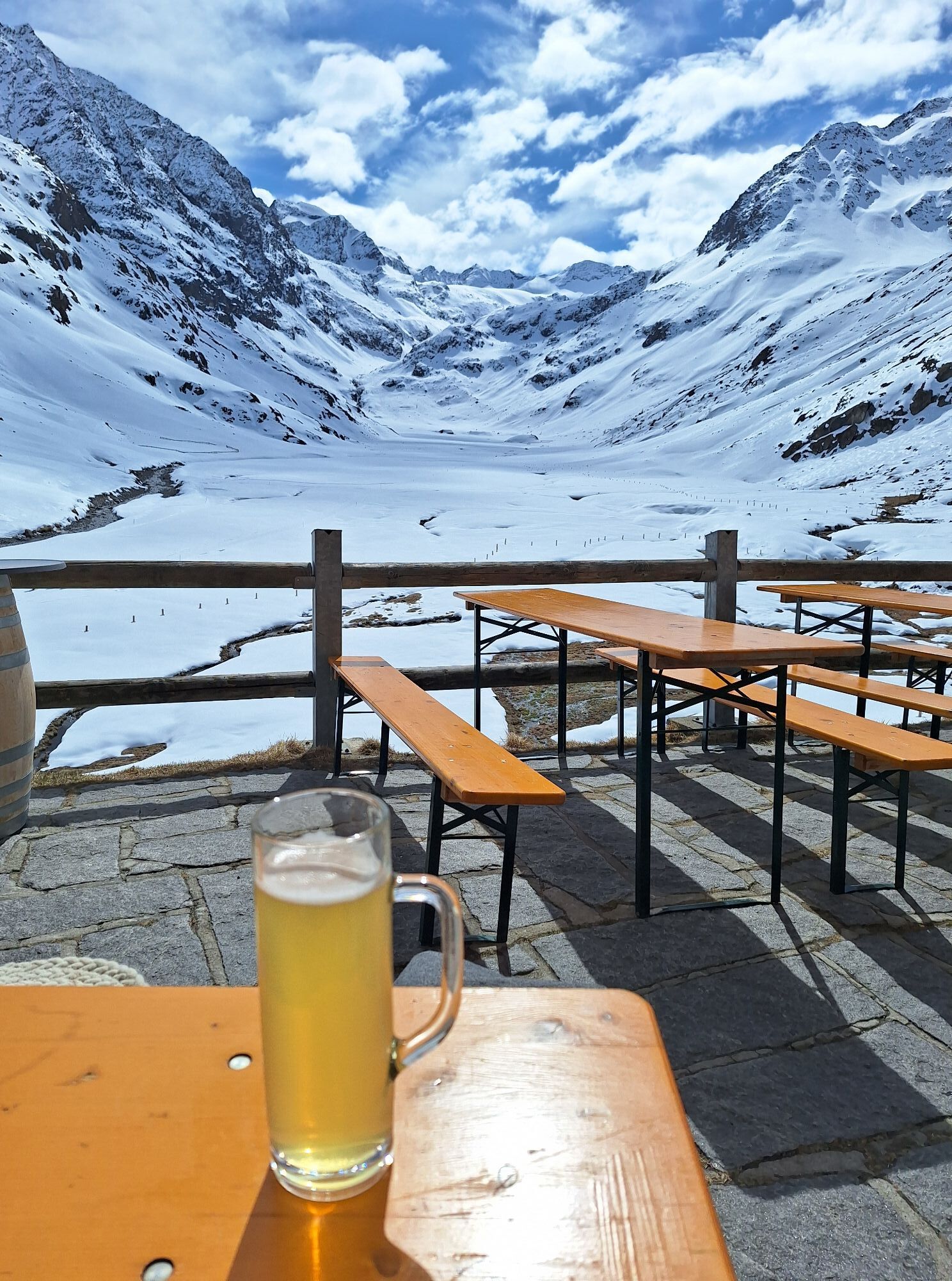
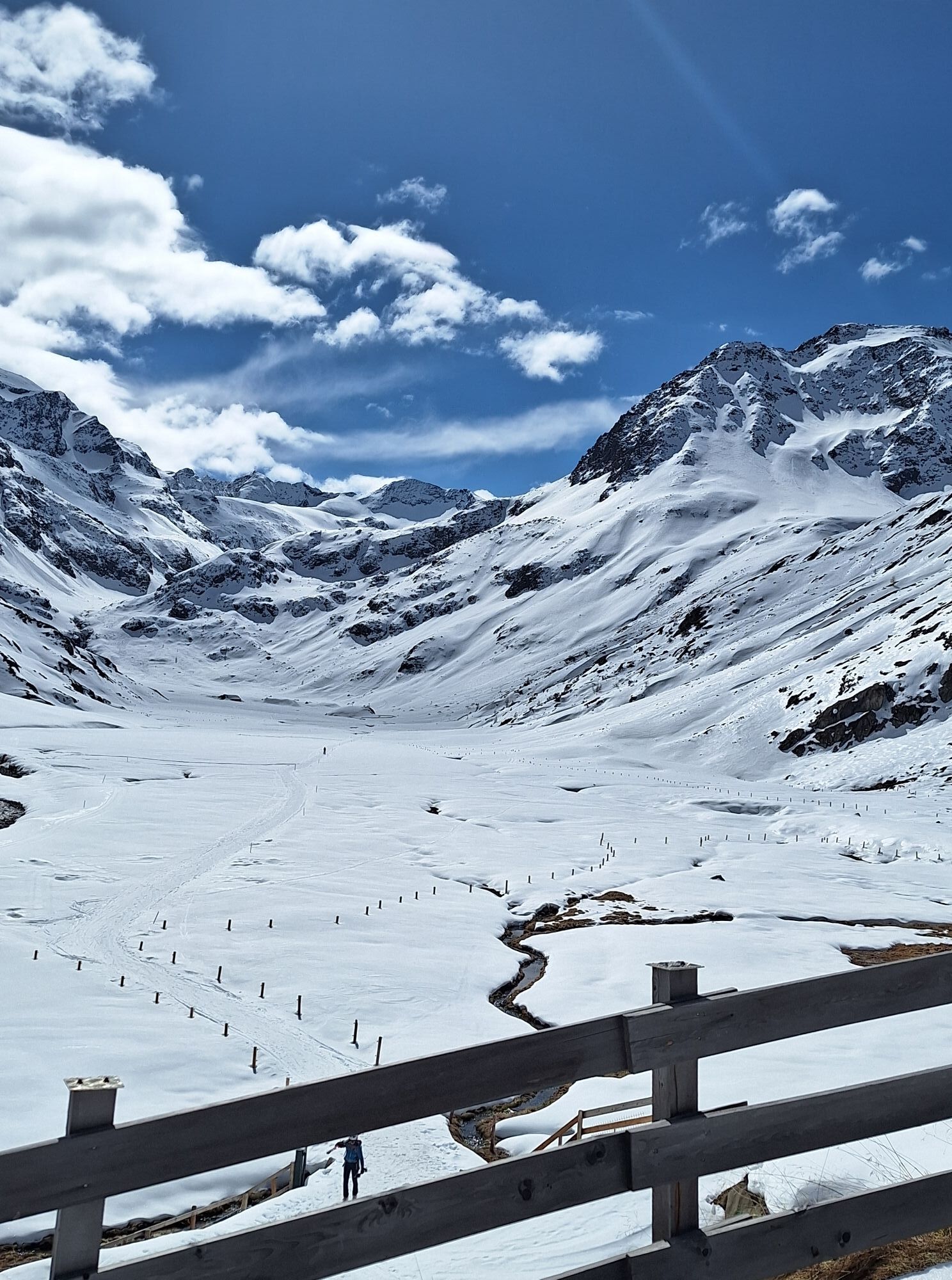
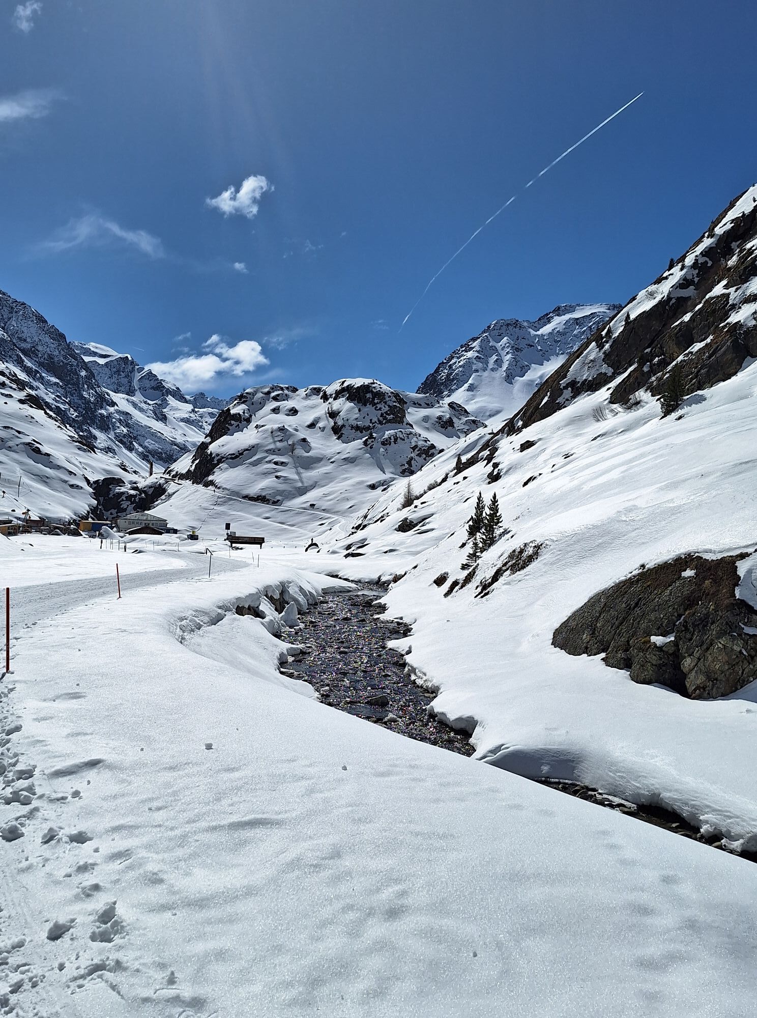
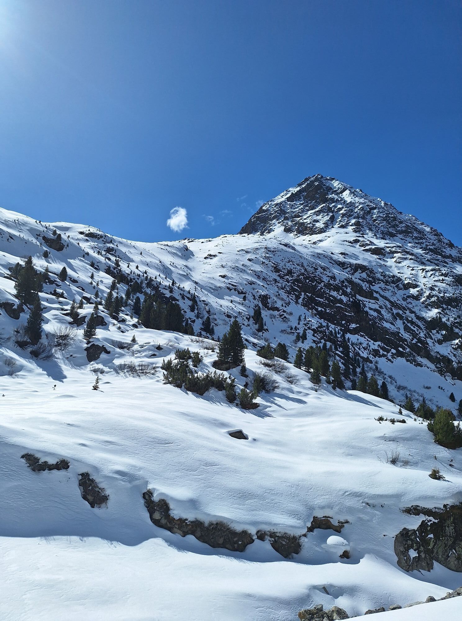
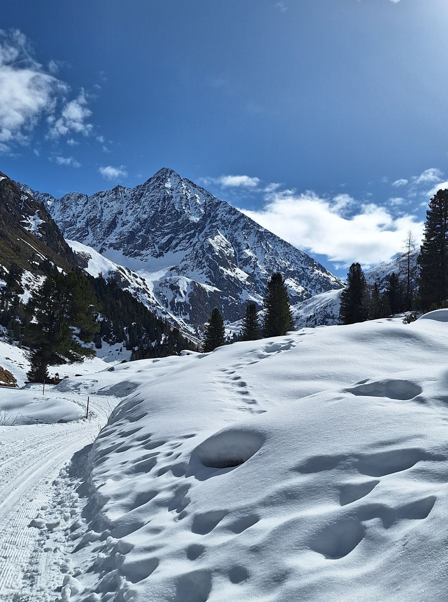
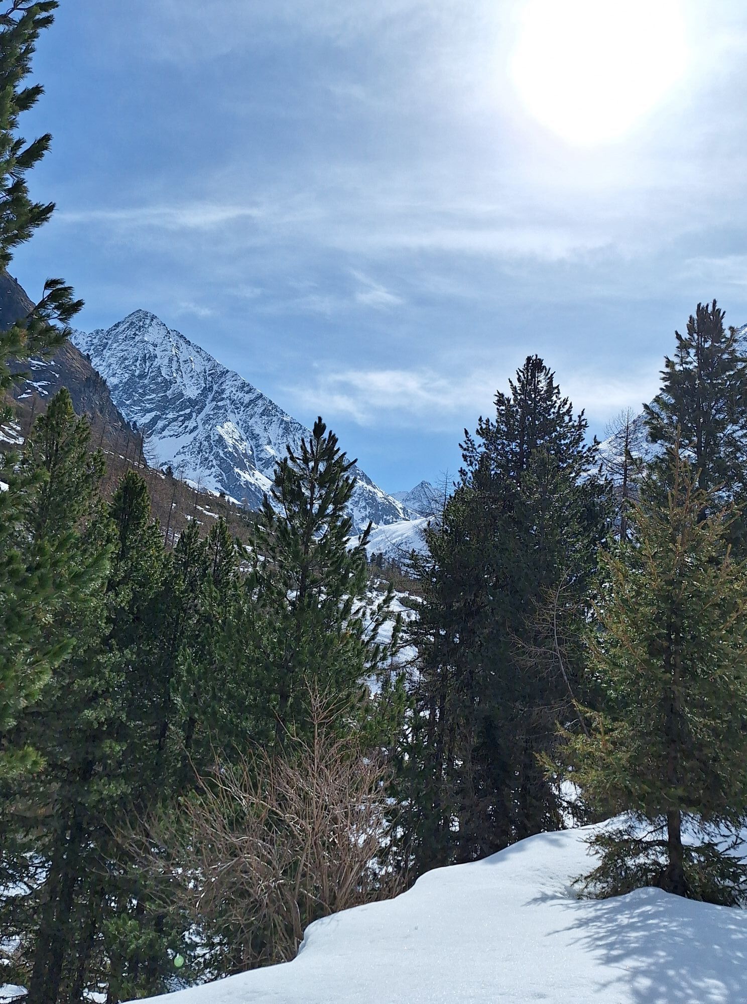
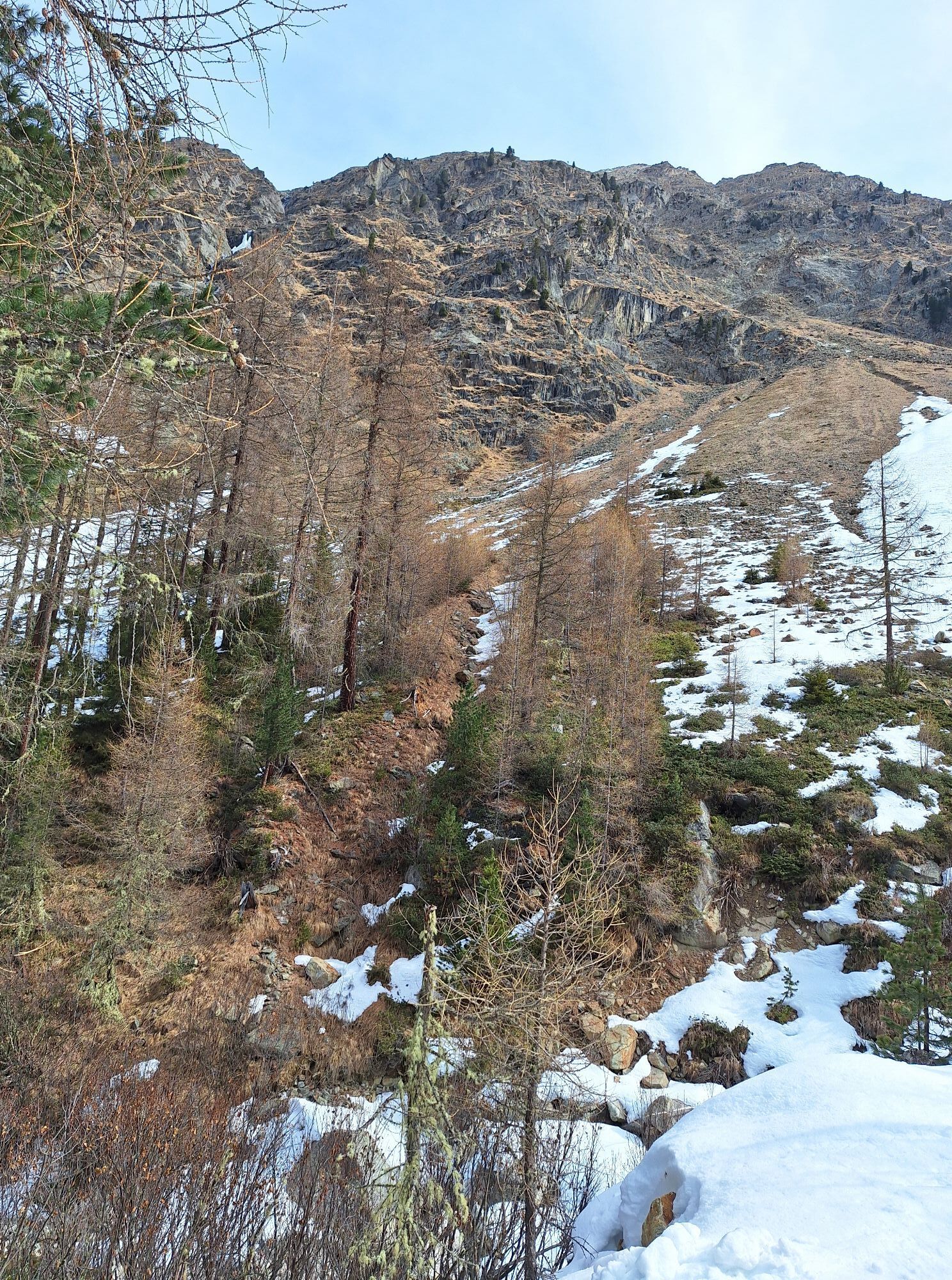
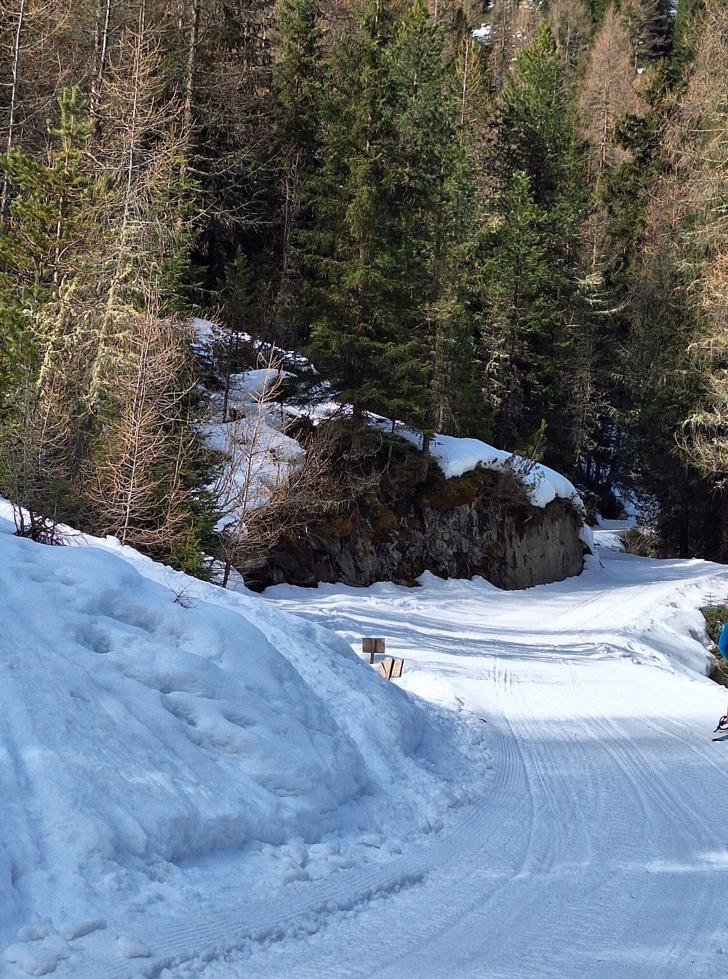
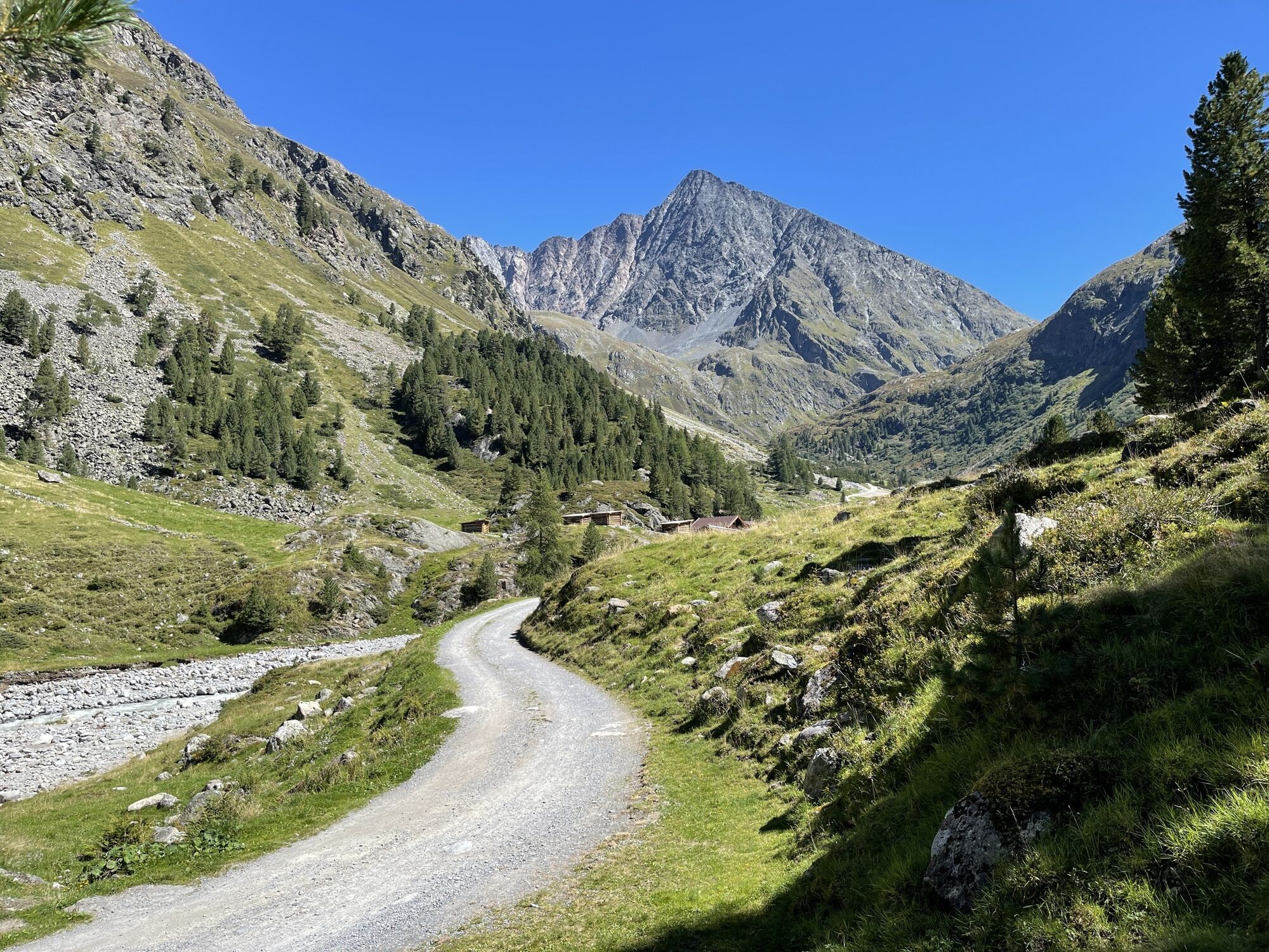
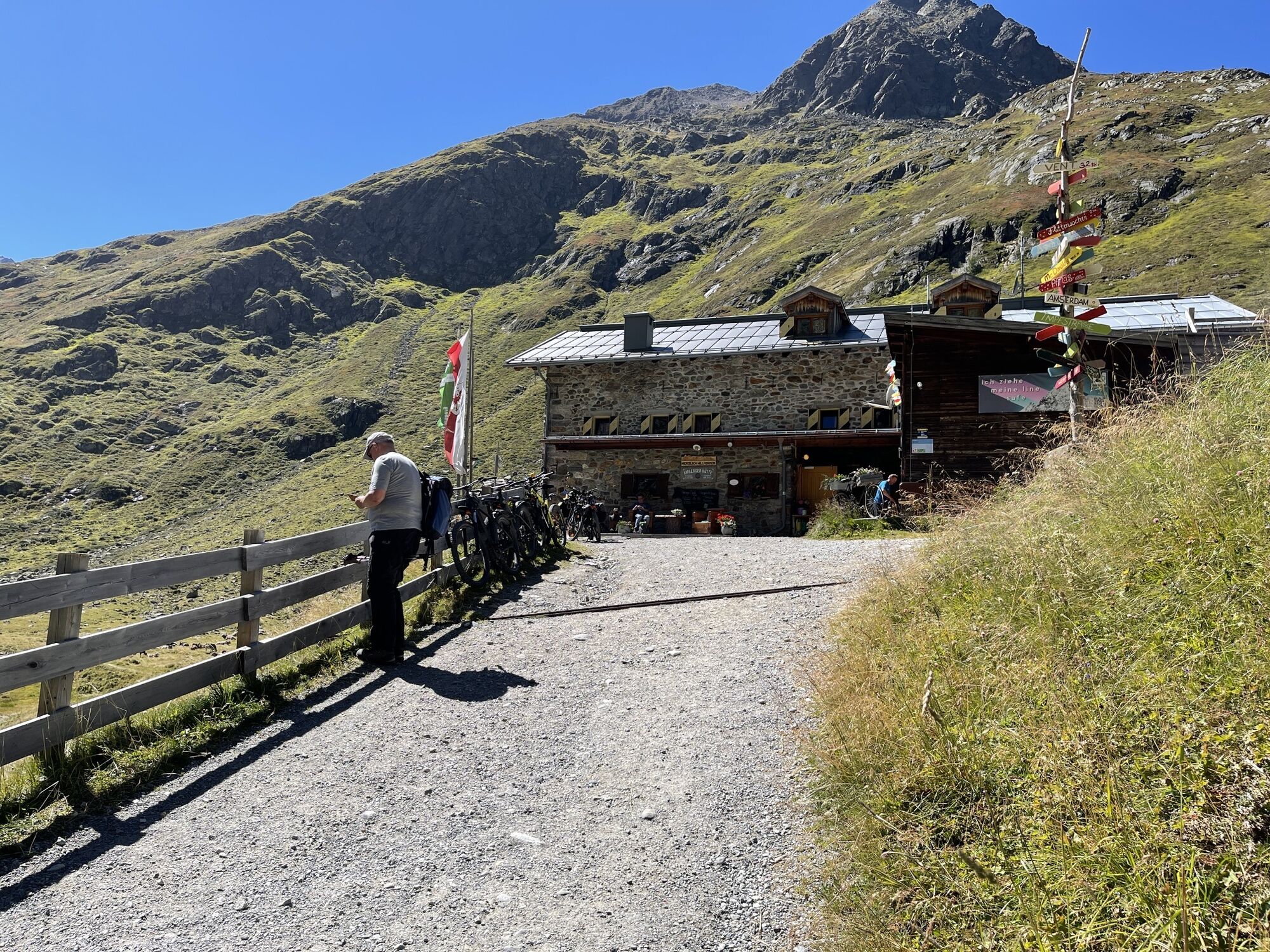
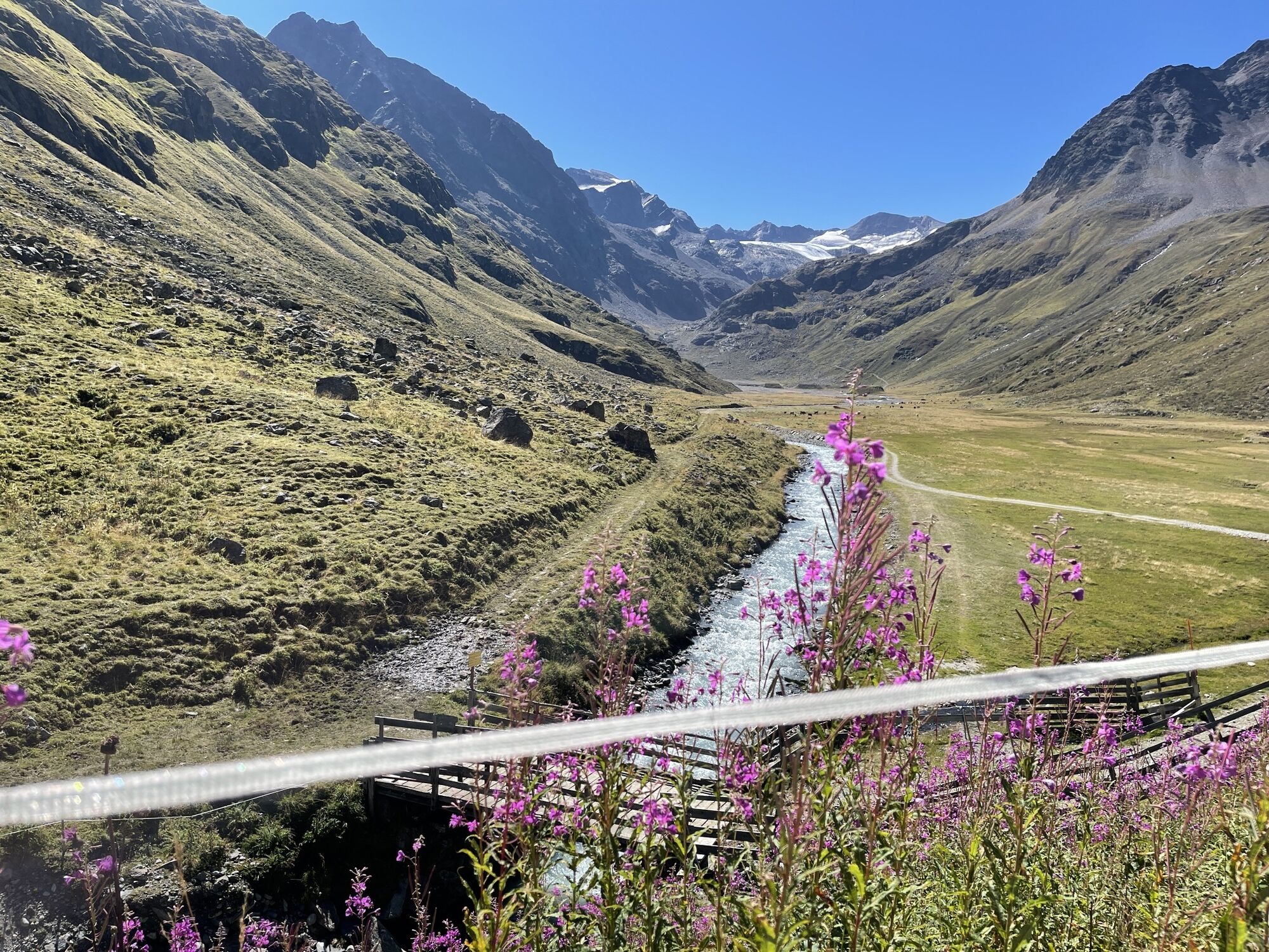

The summit route to the Vorderer Sulzkogel offers views as far as Italy and the three-thousanders of the Ötztal Alps.
From the parking lot at the end of Gries, follow the path into the Sulztal. From crossing...
The summit route to the Vorderer Sulzkogel offers views as far as Italy and the three-thousanders of the Ötztal Alps.
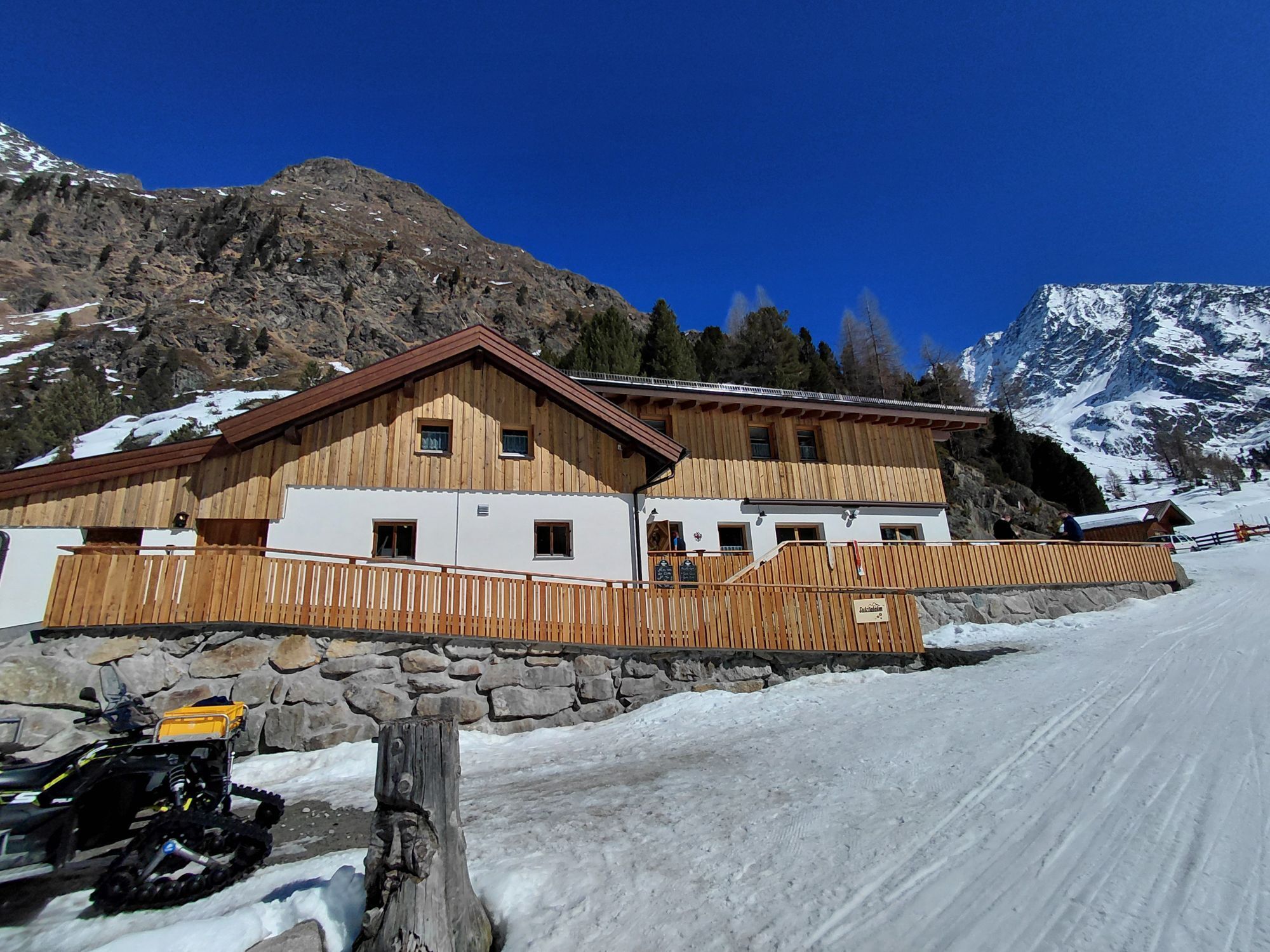
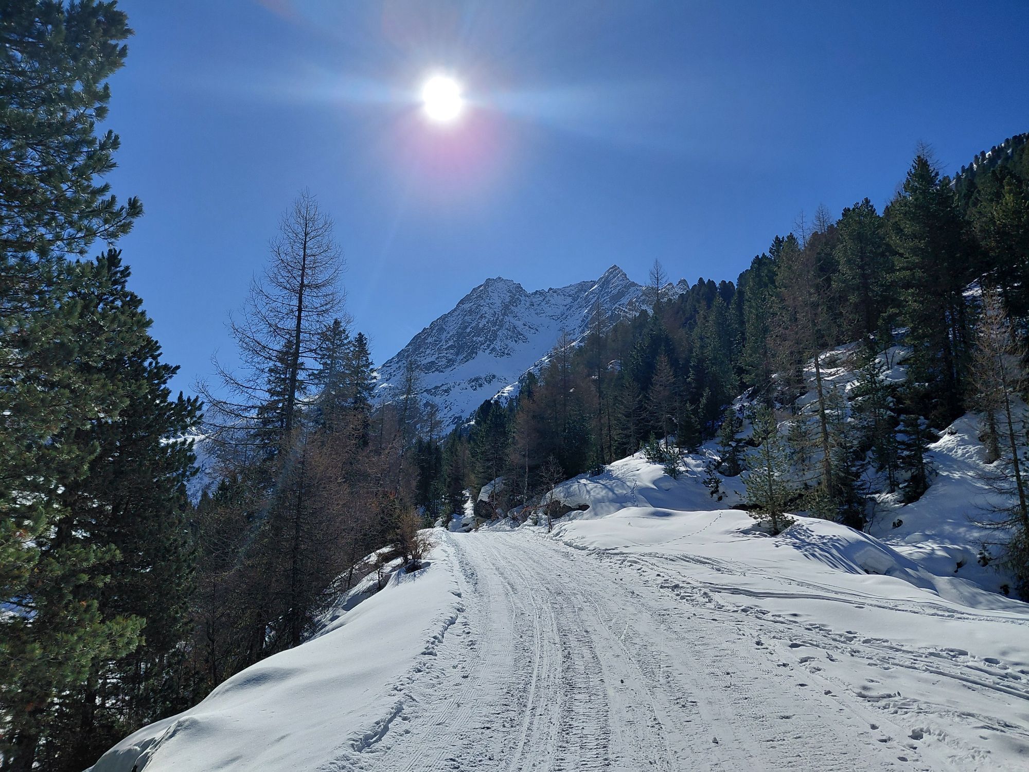
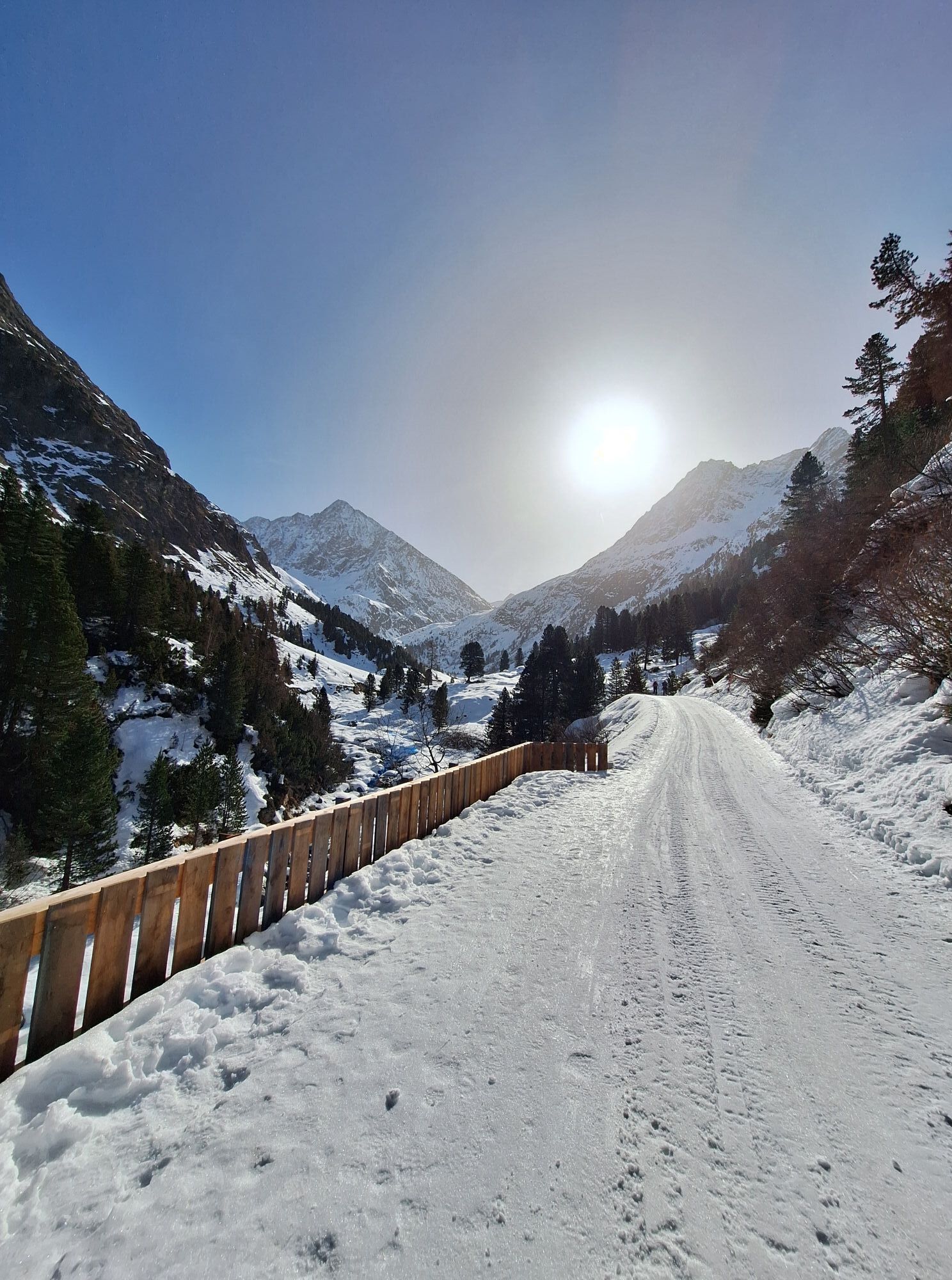
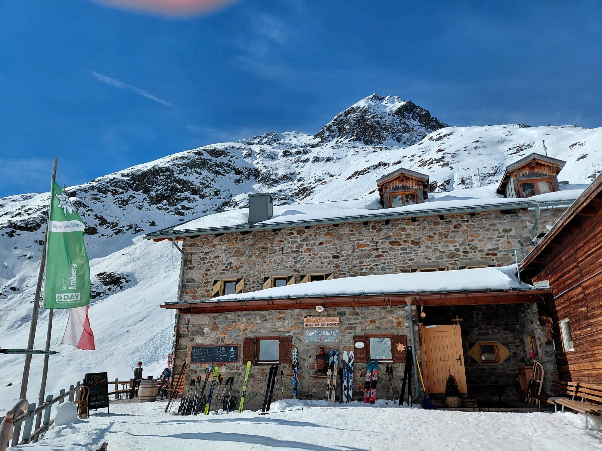
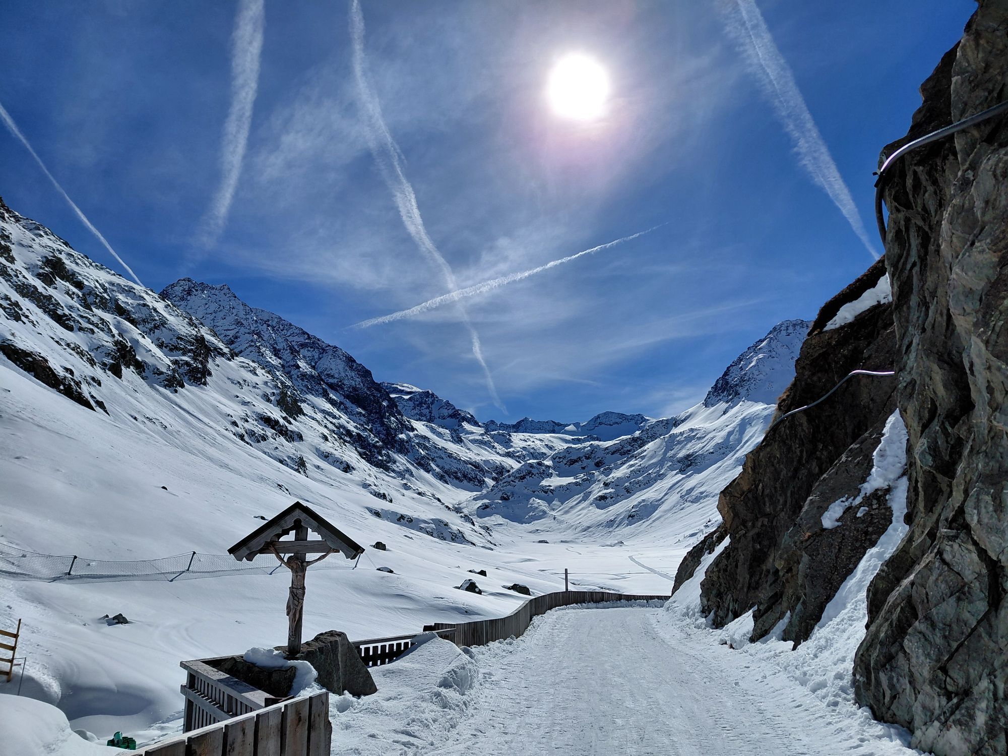
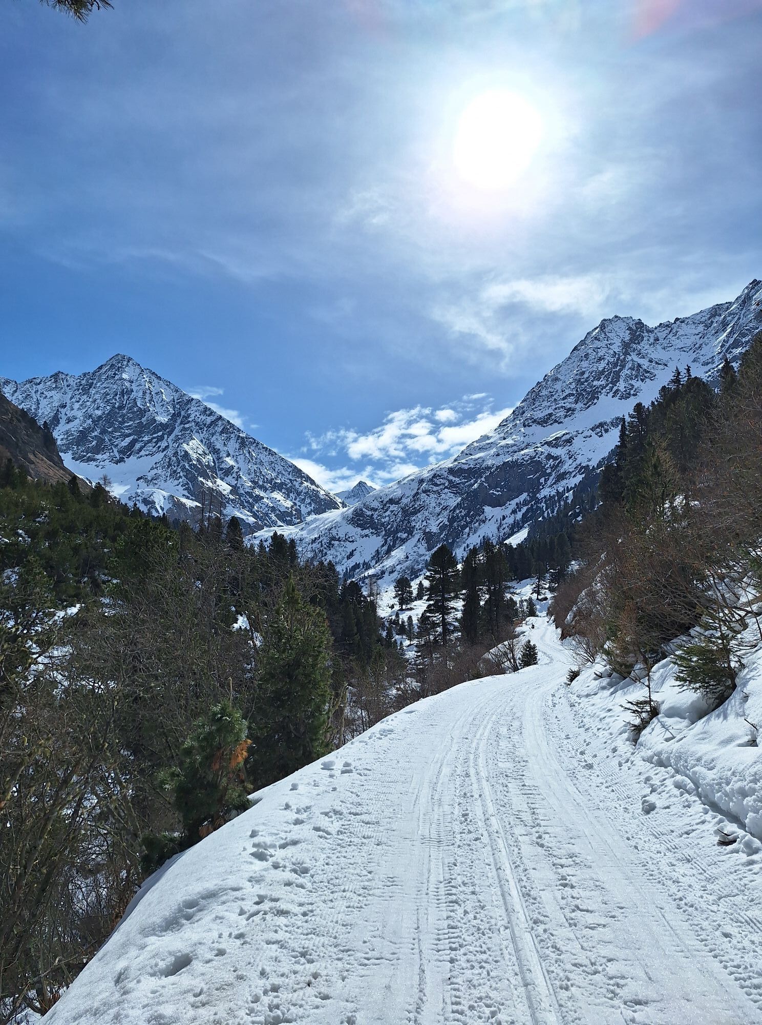
From the parking lot at the end of Gries, follow the path into the Sulztal. From crossing the Vögelas bridge, the incline noticeably increases. After a few hairpin bends, you pass the Nisslam turnoff. Here you continue straight and follow the valley further in. After about 1 hour of walking, you reach the Sulztalalm. The further path ascends pleasantly until the last stretch before the Amberger Hut, which has a noticeable incline. Directly behind the hut is the ascent to the summit. This takes place on a trail over several switchbacks to a small plateau. You then follow the broad mountain ridge upwards - towards the distinctive summit.
Shortly before reaching a scree field, keep left onto a terrain shoulder. Over blockwork into the southeast flank of the summit, briefly over two steep sections secured with wire cables, and further steeply upwards in numerous hairpins to the mighty summit cross.



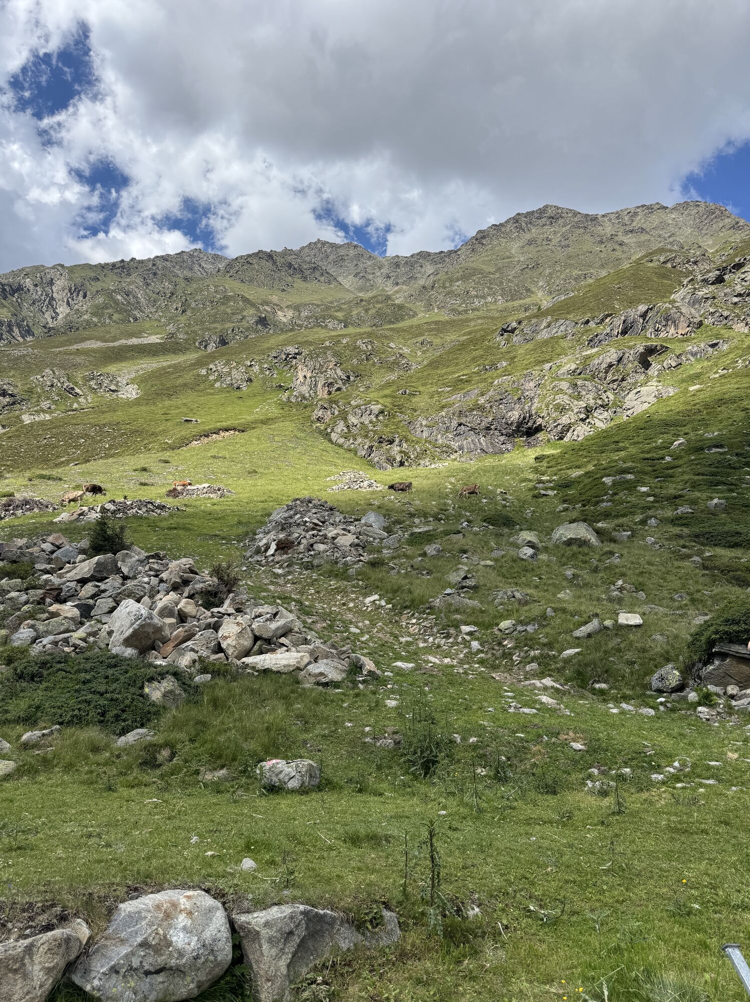
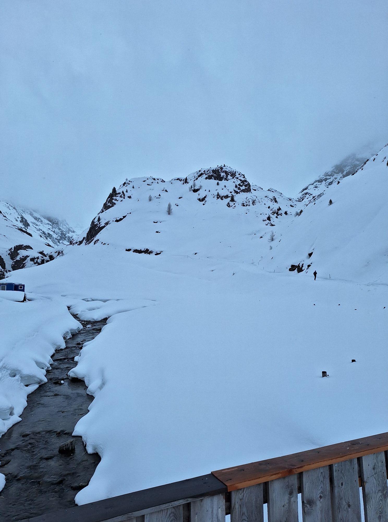
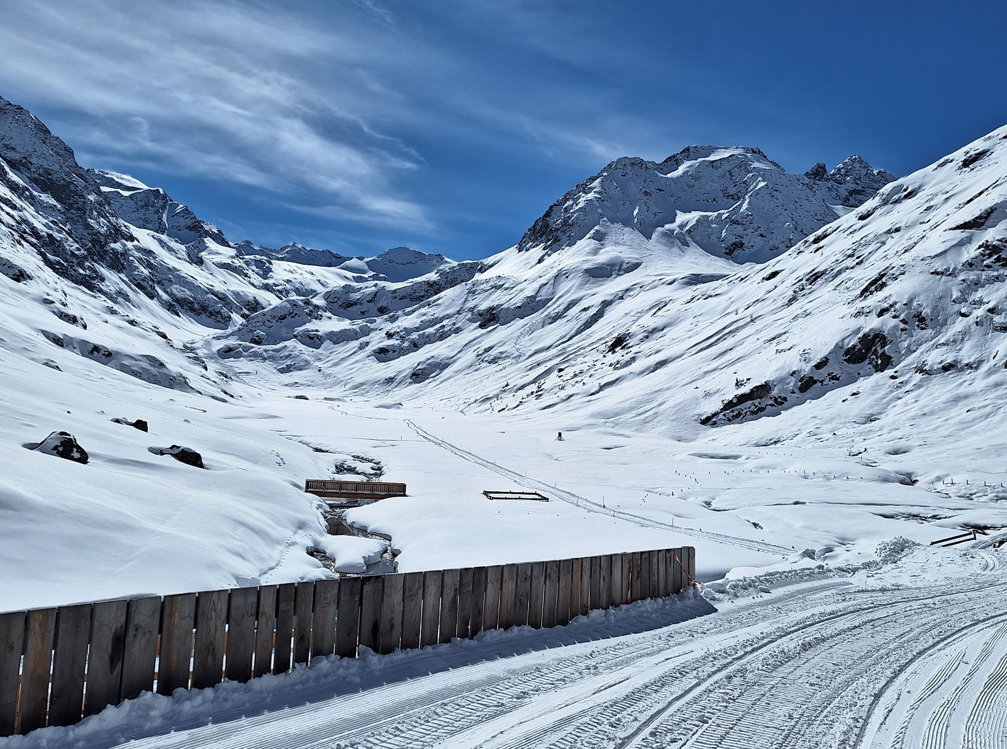
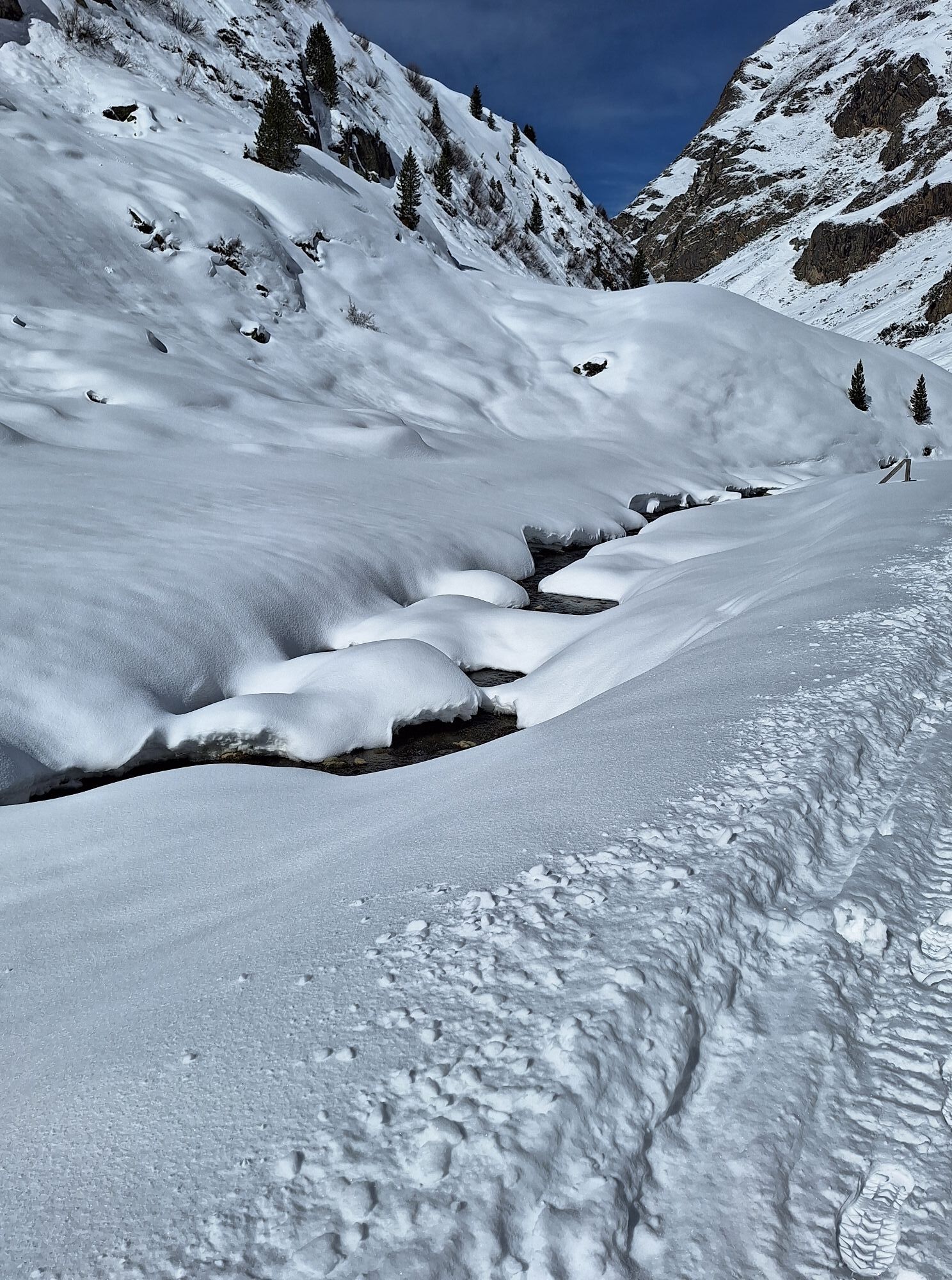
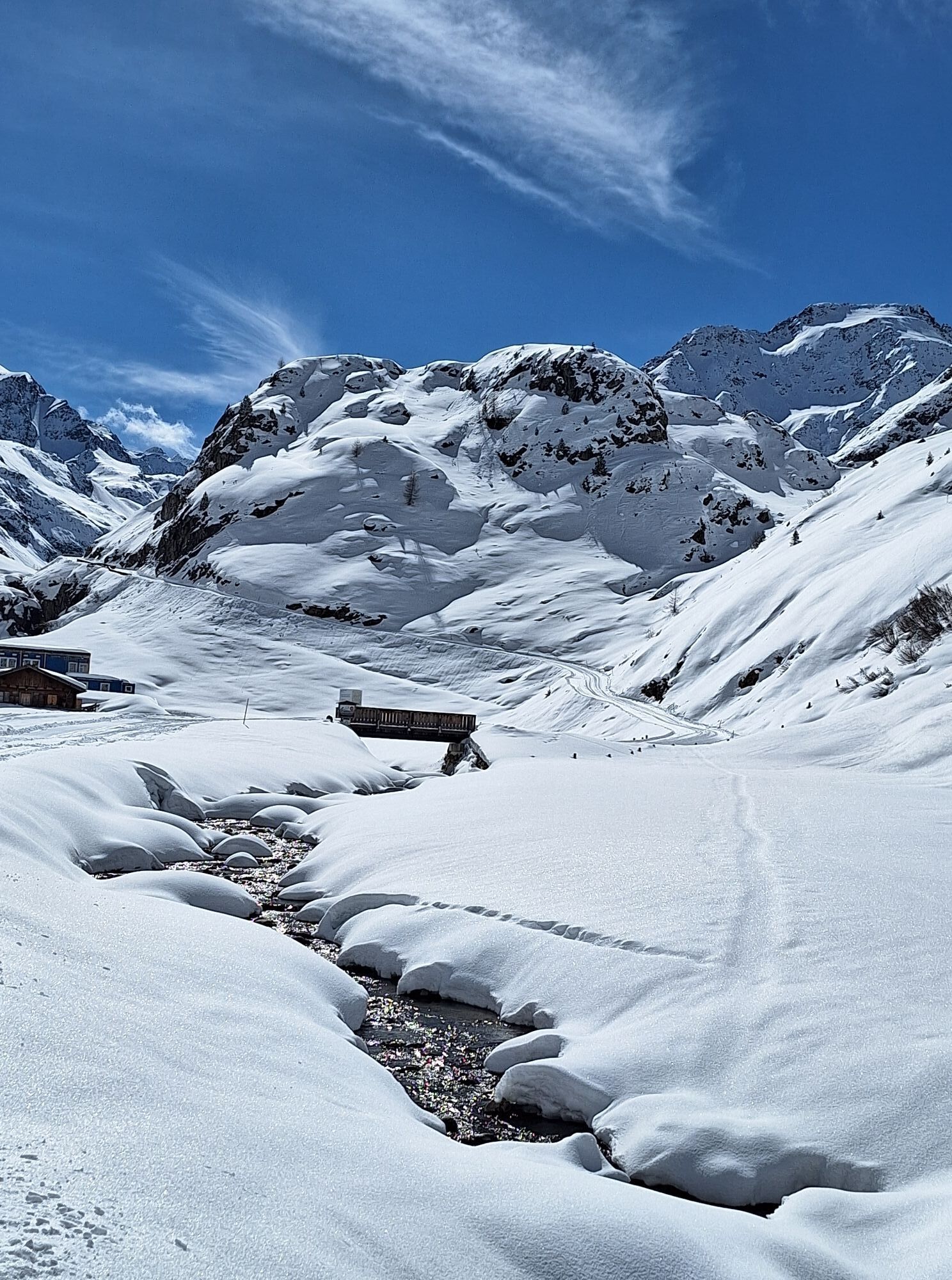
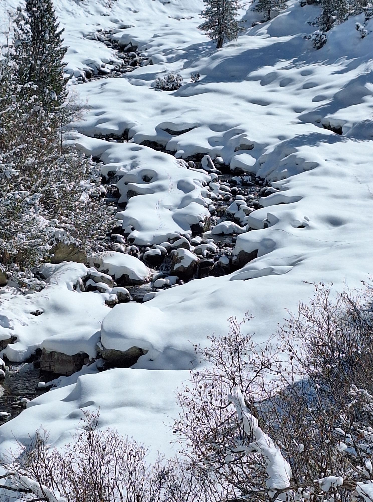
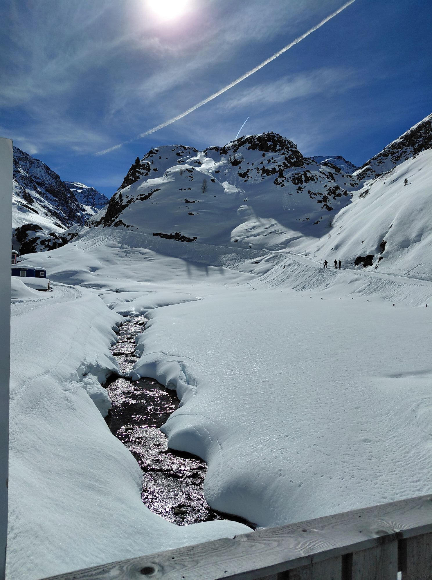
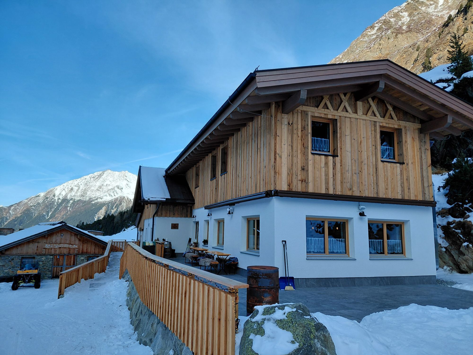
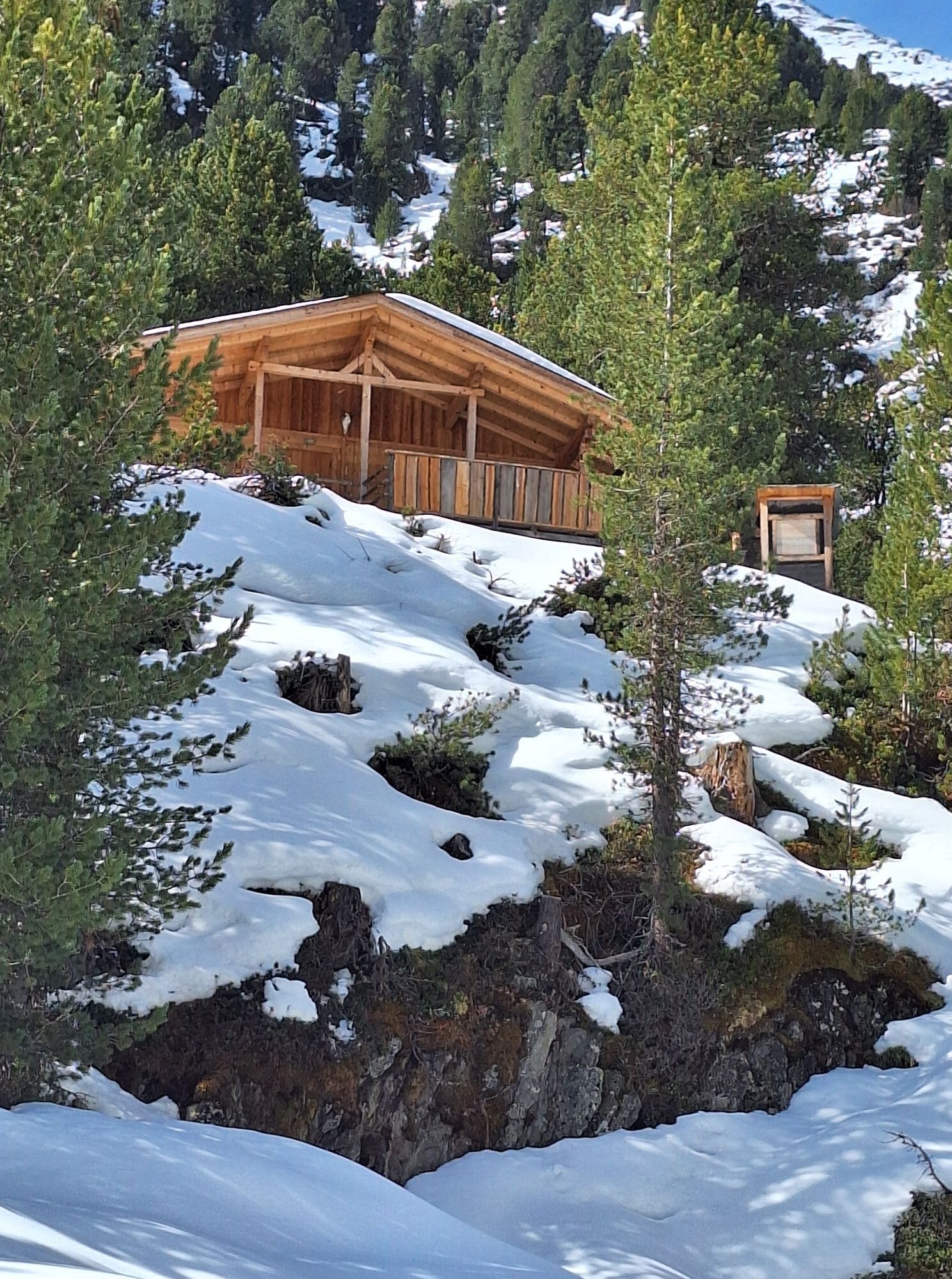
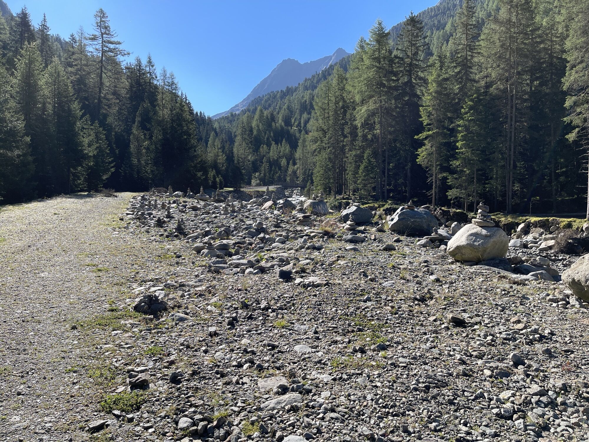
Follow the Sulztal, with its rushing glacier stream, on a wide forestry road up to the Sulztalalm (1,898 m). Then continue gently ascending to the alpine pastures of the rear Sulztalalm until the Amberger Hut (2,136 m) appears behind a rock bend. Behind the hut, over steep grassy alpine pastures to the Sulzeck. In the steep terrain, follow the trail markings that lead directly to the summit of Sulzkogel.
Descent via the same route.
Áno
Appropriate equipment such as breathable and weather-appropriate outdoor clothing is required for all hikes and routes. Carrying a first-aid kit, a mobile phone, and possibly a hiking map, as well as sufficient provisions for hikes without dining options, is necessary.
Moderate mountain path; suitable for surefooted and experienced mountain hikers; good physical condition, mountain experience, and mountain equipment (see under equipment) are necessary. Please pay attention to the current weather report.
The car ride to ÖTZTAL
Traveling by car takes visitors over the Inn Valley to the valley entrance and further along the Ötztal. In addition to the toll motorway, country roads can also be used. You can quickly and conveniently plan your route with the route planner.
To the route planner: https://www.google.at/maps
Travel comfortably and safely by train. The final stop or disembarkation point is ÖTZTAL station. Then you can travel conveniently and quickly by public transport or local taxi companies through the entire valley to your desired destination.
The current bus timetable is available at: http://fahrplan.vvt.at
The following parking spaces are available:
at the outskirts of Gries - paidMore information about hiking in the Ötztal can be found here.
It is possible to ride a mountain bike up to the Amberger Hut. Instead of a long descent, a rapid downhill ride awaits you.
Webové kamery z prehliadky
Získajte prehľad
Vždy naživo na mieste s viac ako 9 500 webovými kamerami. bergfex Ako používateľ Pro si teraz môžete pozrieť príslušné webové kamery pre mnohé zájazdy v aplikácii zájazdy z. Môžete si tak priamo prezerať aktuálne podmienky.

Obľúbené výlety v okolí
-
4,7
Winnebachsee Hut – Längenfeld/Gries
strednáTuristika 4,74 km -
4,7
Winter circular route Brandalm/Burgstein - Längenfeld 204
strednáZimná turistika 5,44 km -
4,3
Hike Stuibenfall - Umhausen
svetloTuristika 2,95 km -
4,8
Wilde Wasser Weg - Fortgeschritten
strednáTuristika 12,0 km -
4,3
Stuibenfall Umhausen circular hike
svetloTuristika 9,32 km -
4,4
Rundwanderung Hängebrück3
svetloTuristika 6,32 km -
5,0
Dresdner hütte - sulzenauerhütte
strednáTuristika 12,1 km -
4,3
Lampsenspitze, Sellrain, Tirol
strednáSkitour 4,97 km -
4,3
Amberger Hut - Längenfeld/Gries
strednáTuristika 5,60 km -
4,3
Hohe Geige über Gawinden und den Westgrat
ťažkéTuristika 14,3 km
Turistika a stopovanie


Nenechajte si ujsť ponuky a inšpiráciu na ďalšiu dovolenku
Vaša e-mailová adresa bol pridaný do poštového zoznamu.





