







Breitlehnalm - Längenfeld/Huben
ATTENTION: The trail via the Mühl district is closed – Breitlehnalm is accessible via the forest road Polltalalm. In summer 2025, Breitlehnalm will remain closed!
From Huben district Mühle, first follow...
ATTENTION: The trail via the Mühl district is closed – Breitlehnalm is accessible via the forest road Polltalalm. In summer 2025, Breitlehnalm will remain closed!
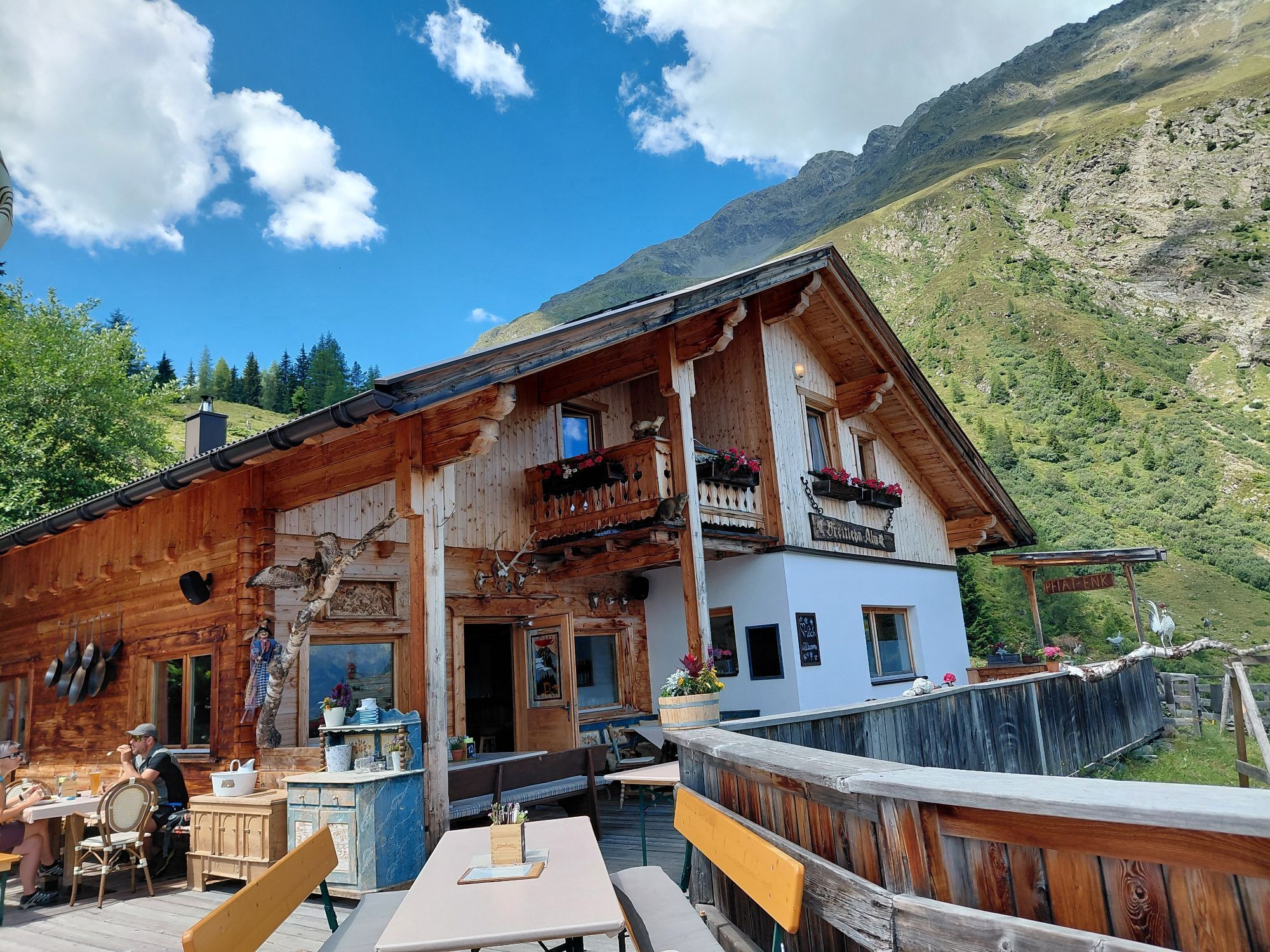
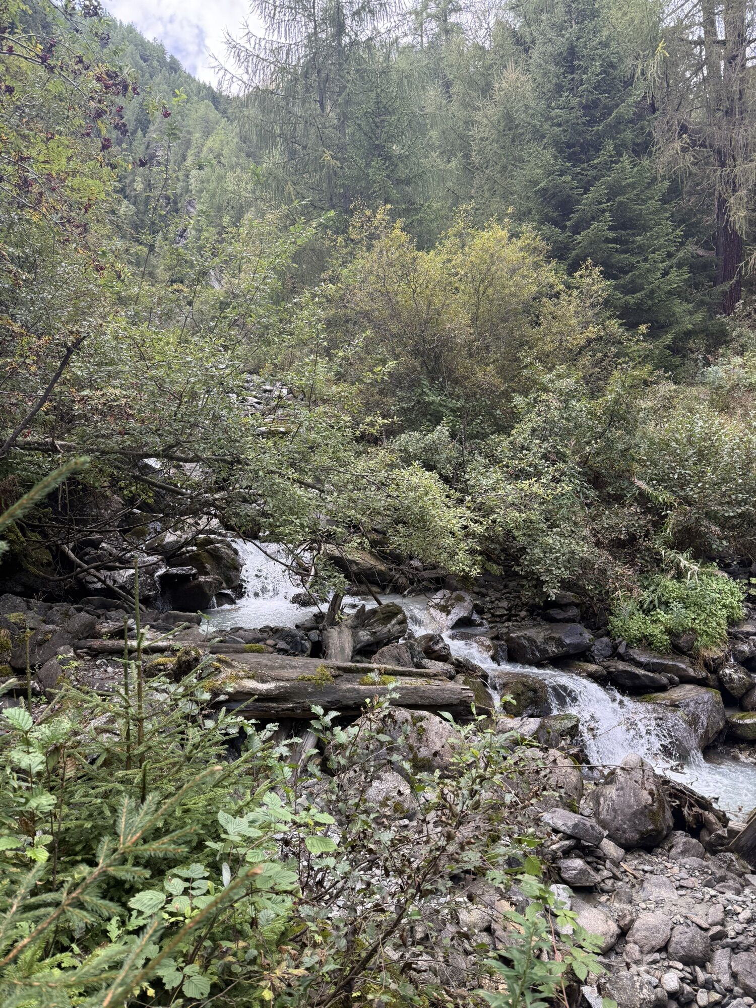
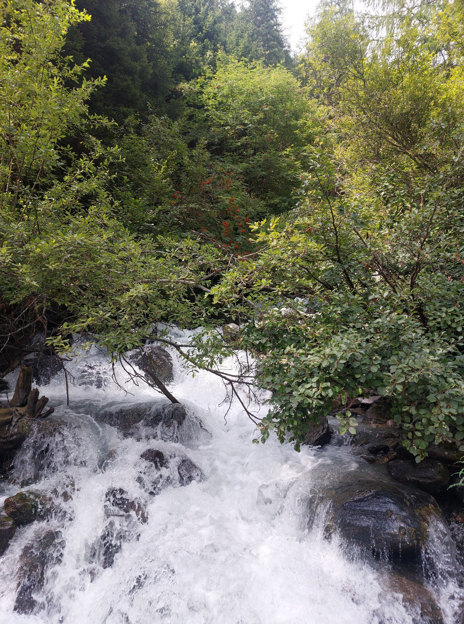
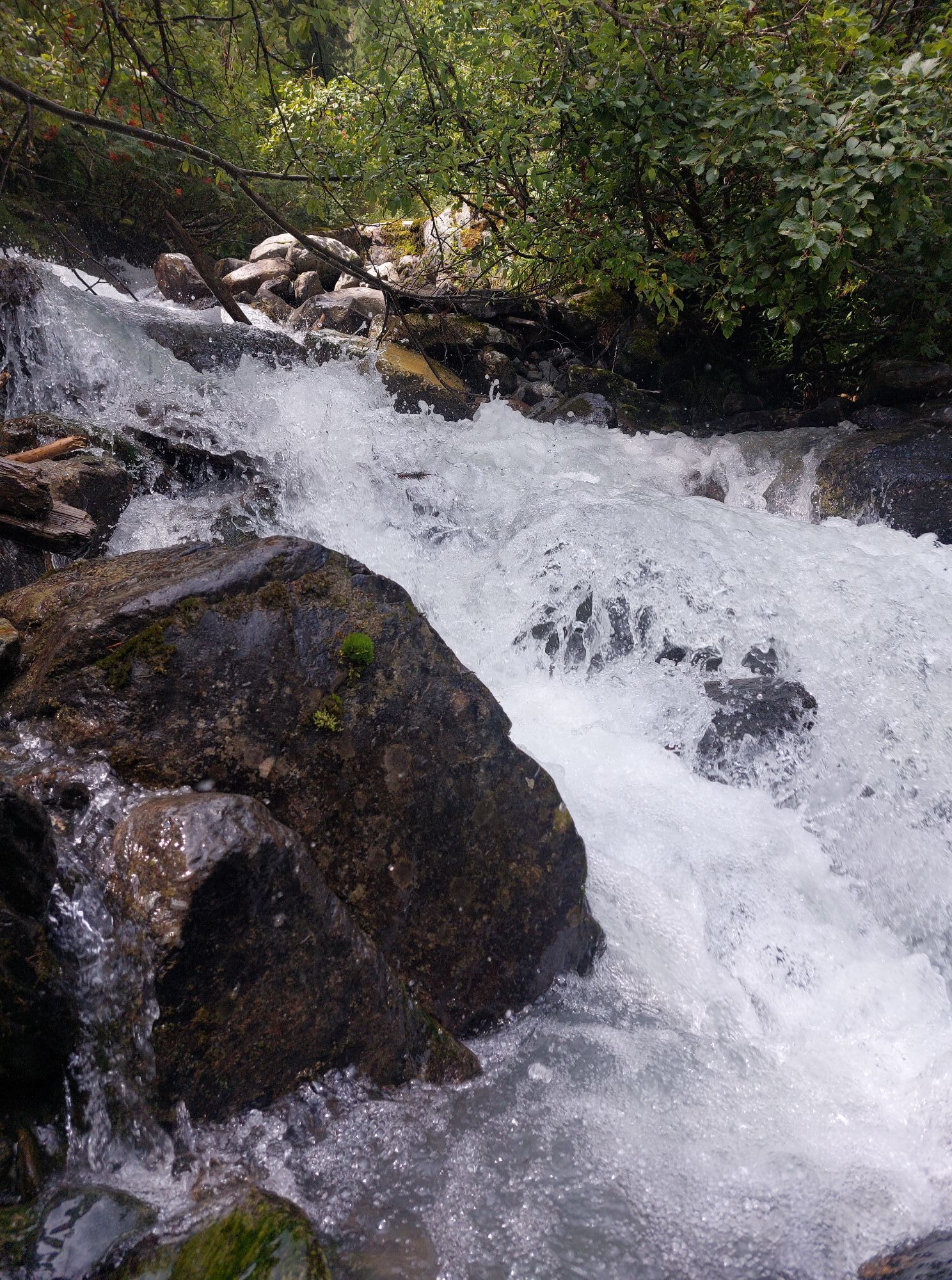
From Huben district Mühle, first follow the paved road slightly uphill to the group of houses "Mühl." There the trail begins, which leads through dense forest. Although the path has a noticeable incline and requires some stamina, it can be walked without difficulties. Upon arrival at the hut, you enjoy a magnificent view of the valley basin of Längenfeld and the Ötztal mountain world.
The return path takes the same route or the forest road past Polltalalm.

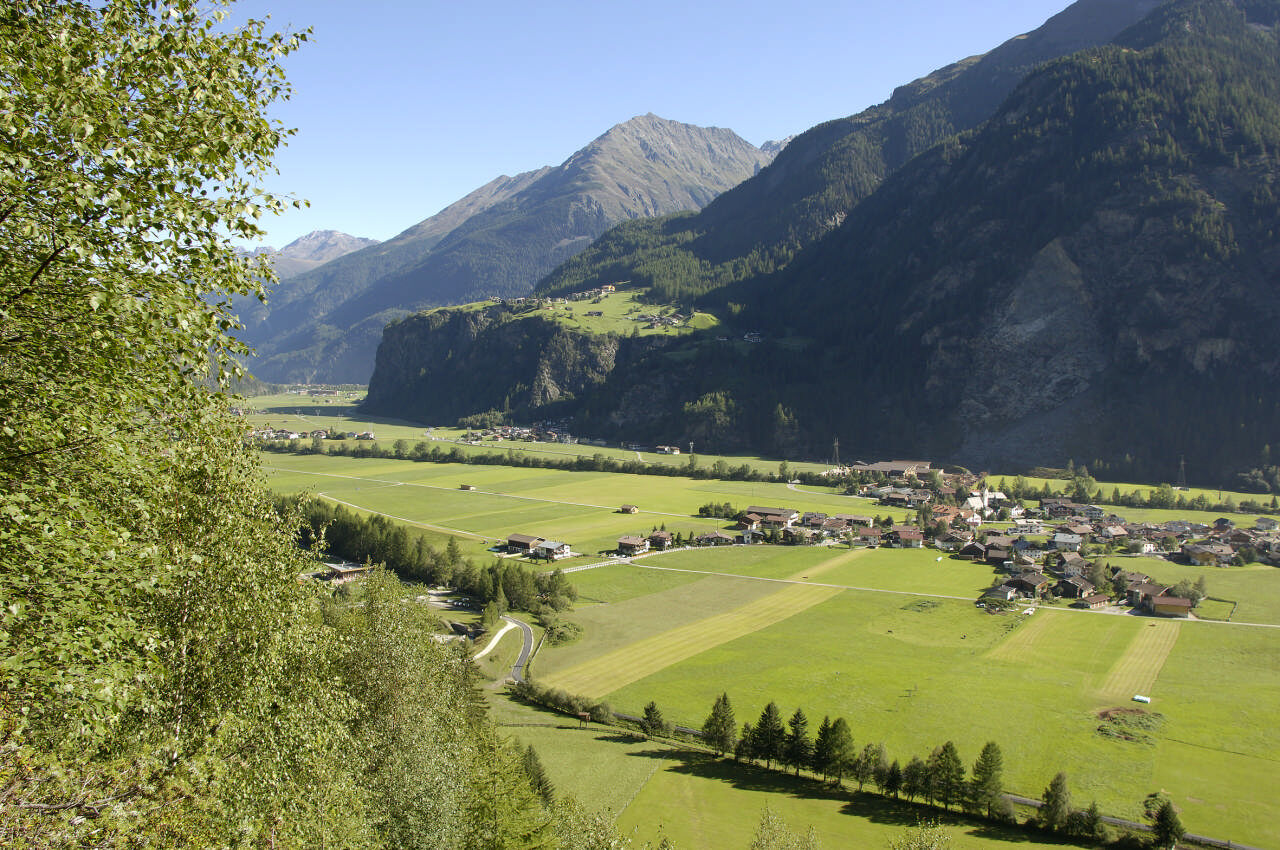
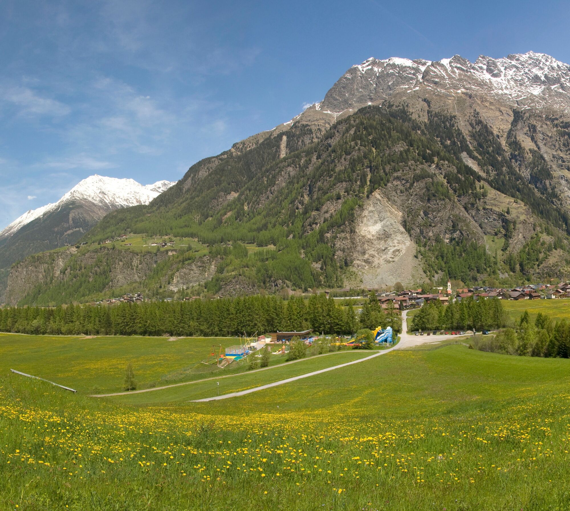
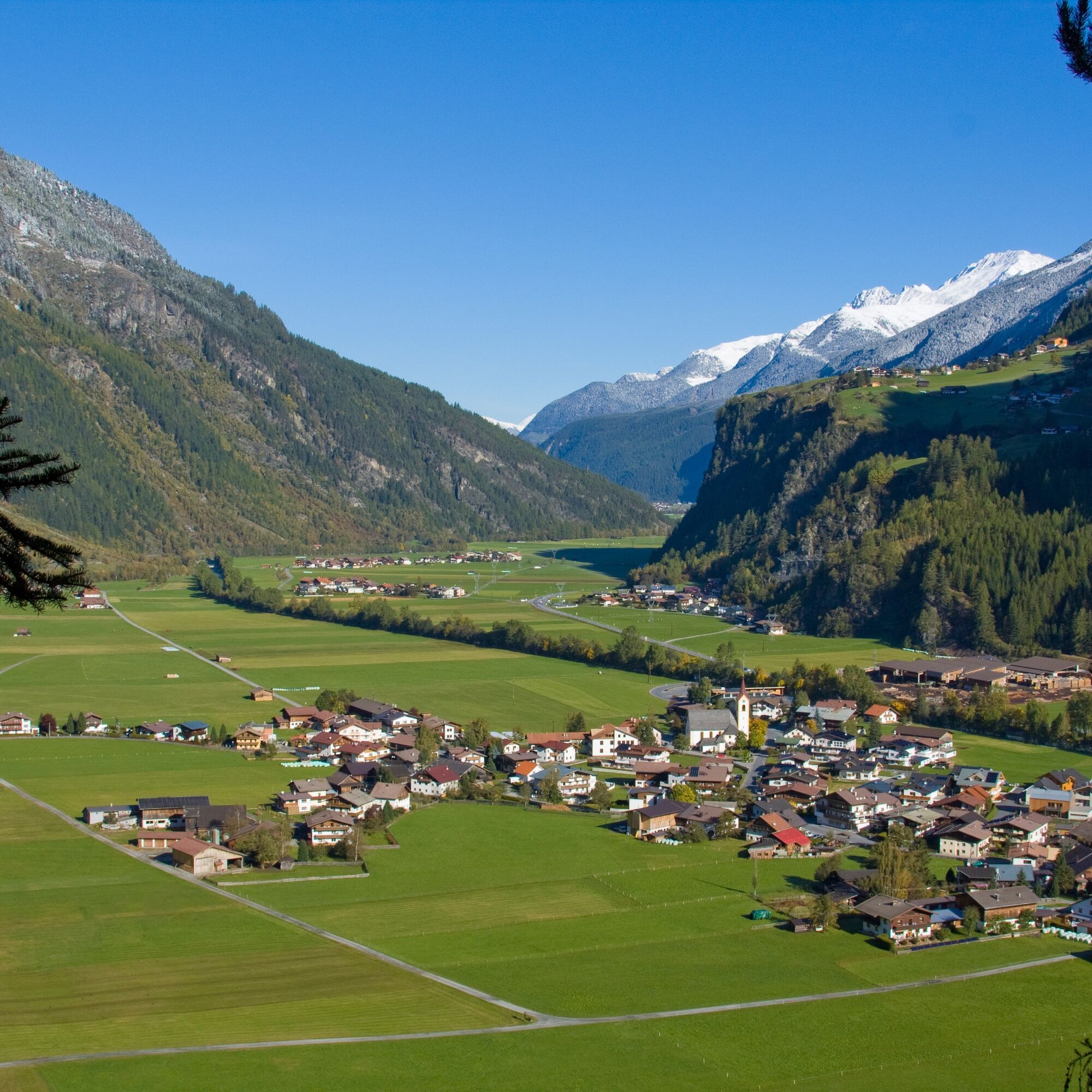

At the small group of houses in Mühle, the ascent takes place via a somewhat steeper hiking trail directly to the hut.
The path does require some stamina but is easy to walk without difficulties.
Appropriate equipment such as breathable and weather-appropriate outdoor clothing is required for all hikes and routes. Carrying a first aid kit, a mobile phone, and possibly a hiking map, as well as enough provisions for hikes without opportunities to stop for food, is necessary.
Intermediate mountain trail; suitable for sure-footed and experienced mountain hikers; good physical condition, mountain experience, and mountaineering equipment (see under Equipment) are necessary. Please observe the current weather report.
Driving to ÖTZTAL
Traveling by car takes visitors over the Inn Valley to the valley entrance and continues along the Ötztal. In addition to the toll motorway, country roads can also be used. Your trip can be quickly and conveniently planned with the route planner. To the route planner: https://www.google.at/maps
Travel comfortably and safely by train to the Ötztal train station. The terminus or exit point is ÖTZTAL station. Afterwards, you can conveniently and quickly travel by public transport or local taxi companies through the entire valley to your desired destination! The current bus schedule is available at: http://fahrplan.vvt.at
The following parking options are available in Huben:
Huben first village entrance before Tischlerei Praxmarer – free
Funpark Huben - free
More information about hiking in the Ötztal can be found here.
The hut taxi runs once a week during the summer season.
Reservation is required. Ötztal Tourism - Information Längenfeld
+43 (0)57200 300

Webové kamery z prehliadky
Získajte prehľad
Vždy naživo na mieste s viac ako 9 500 webovými kamerami. bergfex Ako používateľ Pro si teraz môžete pozrieť príslušné webové kamery pre mnohé zájazdy v aplikácii zájazdy z. Môžete si tak priamo prezerať aktuálne podmienky.
Aktivity počas prehliadky


Obľúbené výlety v okolí
-
4,7
Winnebachsee Hut – Längenfeld/Gries
strednáTuristika 4,74 km -
4,7
Winter circular route Brandalm/Burgstein - Längenfeld 204
strednáZimná turistika 5,44 km -
4,4
Hike Stuibenfall - Umhausen
svetloTuristika 2,95 km -
4,3
Stuibenfall Umhausen circular hike
svetloTuristika 9,32 km -
4,4
Rundwanderung Hängebrück3
svetloTuristika 6,32 km -
4,3
Amberger Hut - Längenfeld/Gries
strednáTuristika 5,60 km -
4,3
Hohe Geige über Gawinden und den Westgrat
ťažkéTuristika 14,3 km -
4,2
Umhausen - Stuibenfall - Umhausen
strednáTuristika 7,94 km -
4,6
Circular hike Bergmahderweg - Niederthai
svetloTuristika 7,60 km -
4,6
Falkaunsjoch / Kuglerte Seen
strednáTuristika 16,2 km

Turistika a stopovanie


Nenechajte si ujsť ponuky a inšpiráciu na ďalšiu dovolenku
Vaša e-mailová adresa bol pridaný do poštového zoznamu.





