


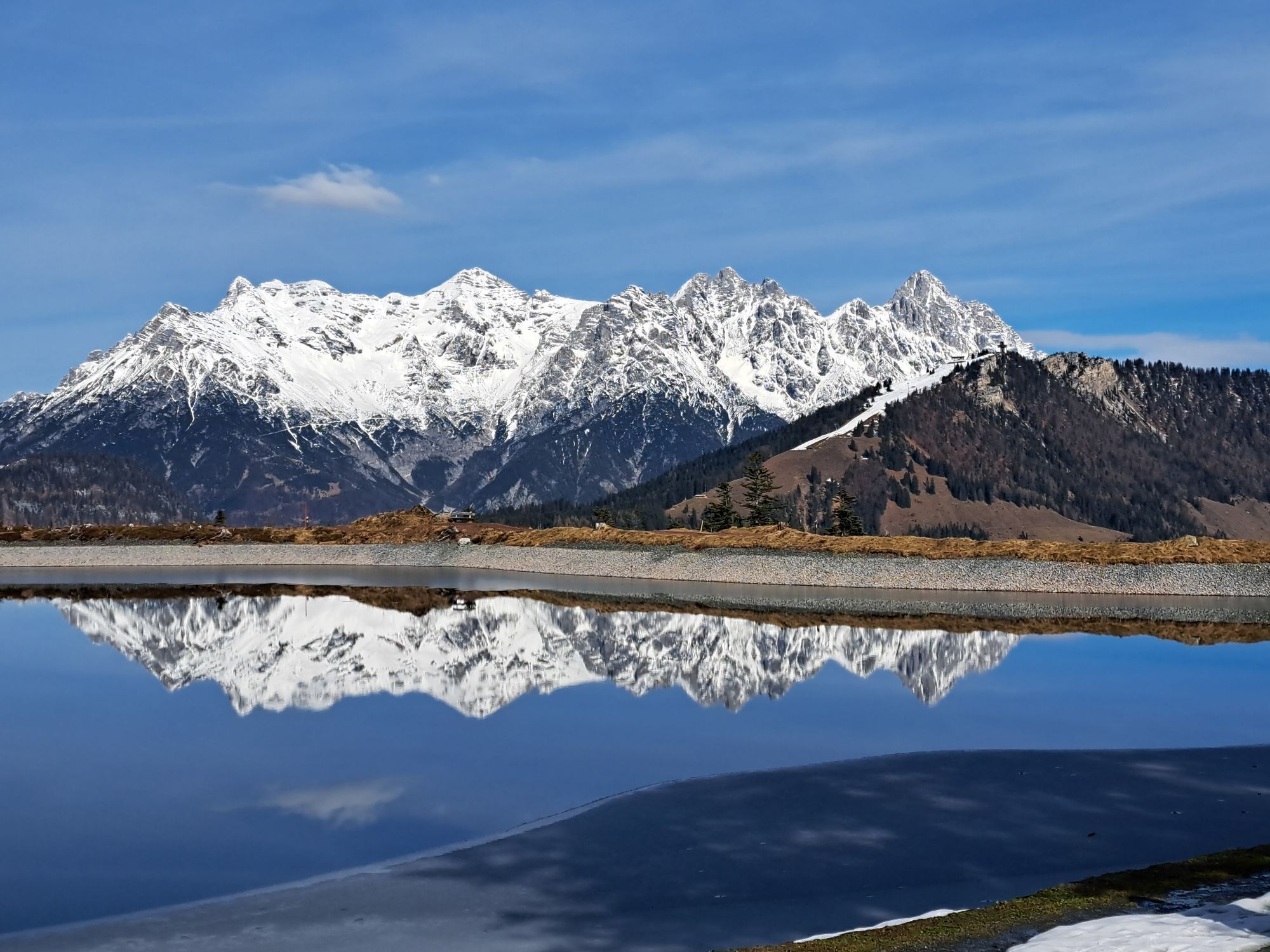
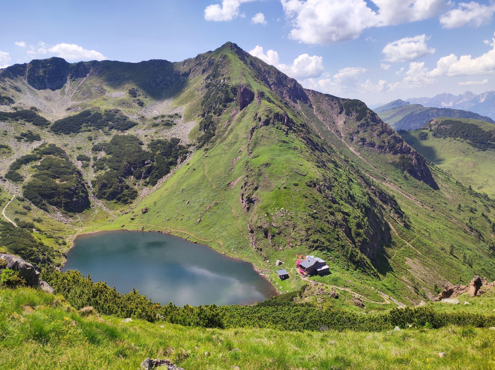
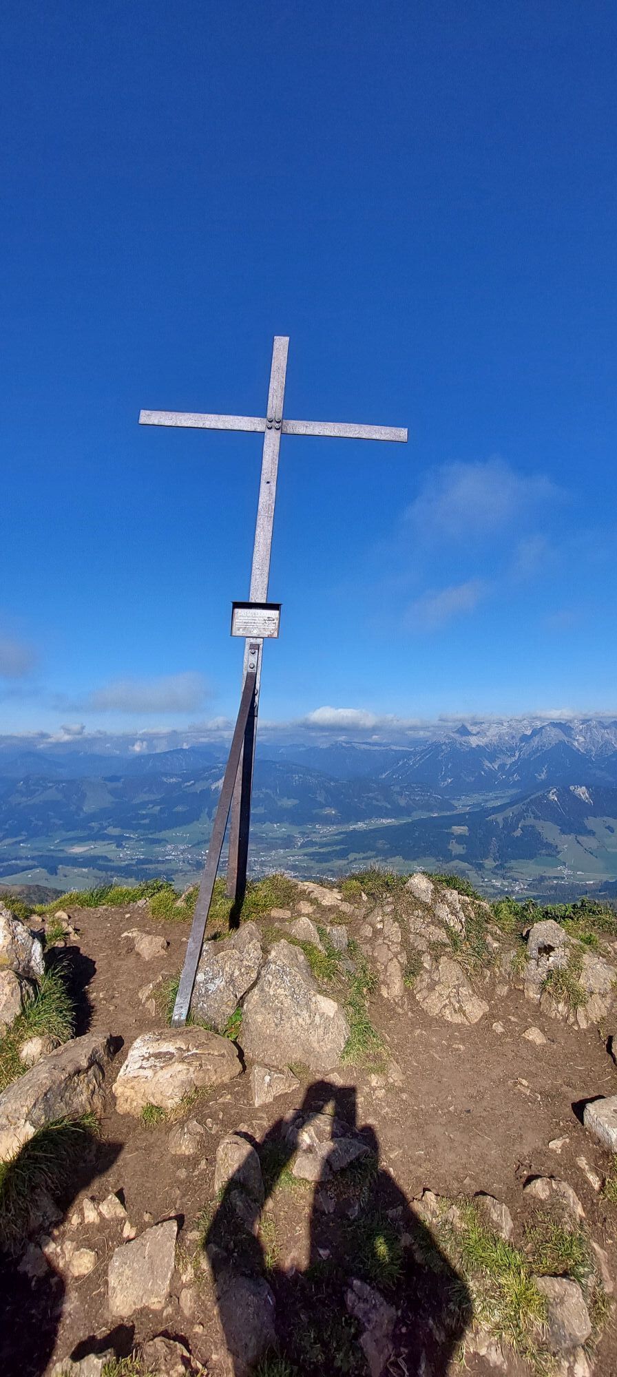
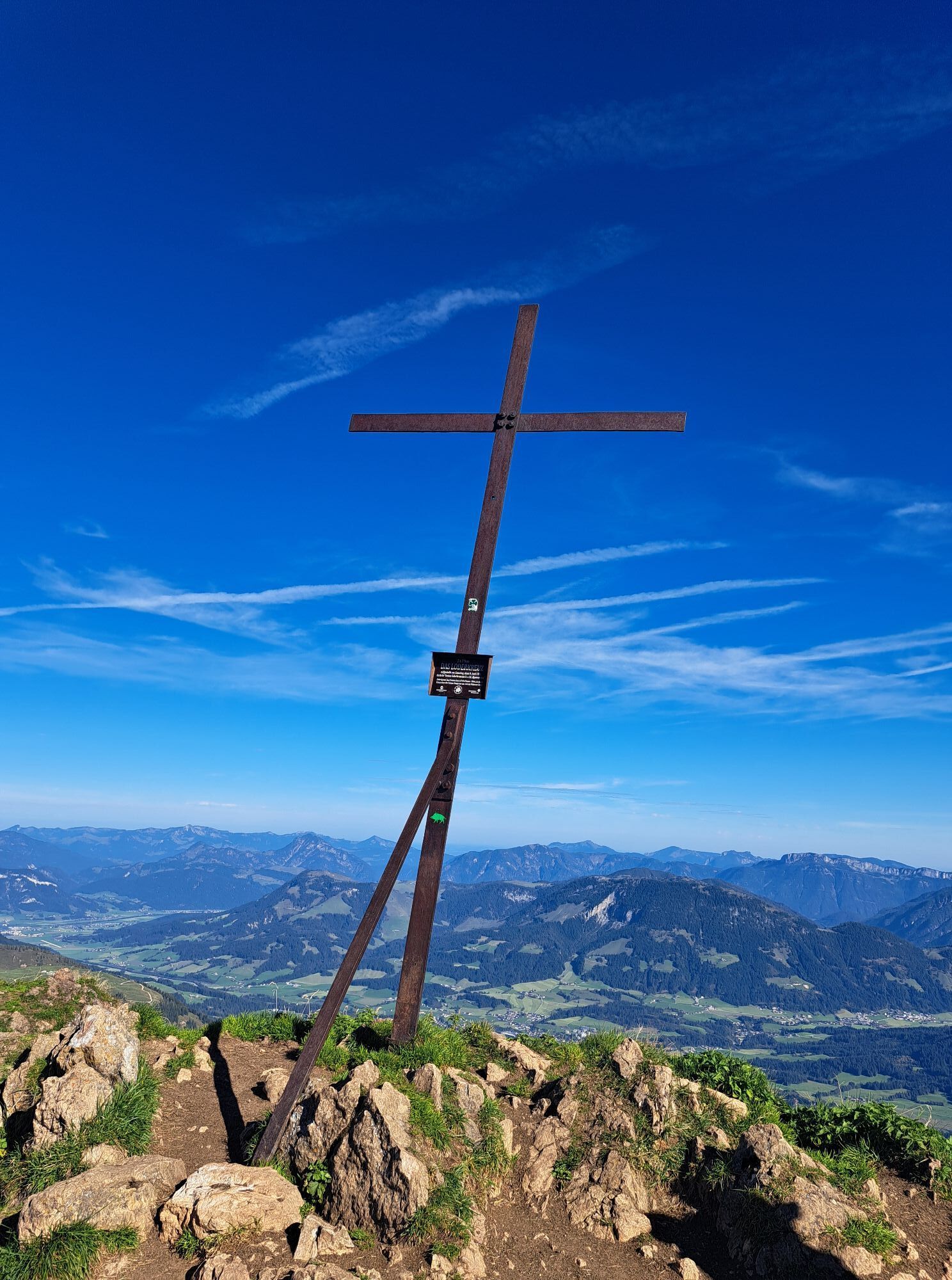
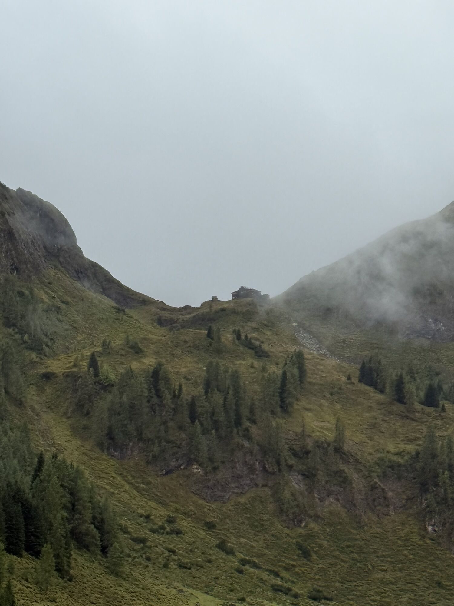
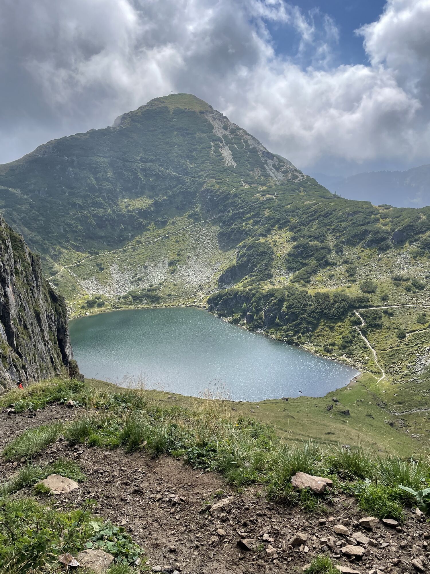
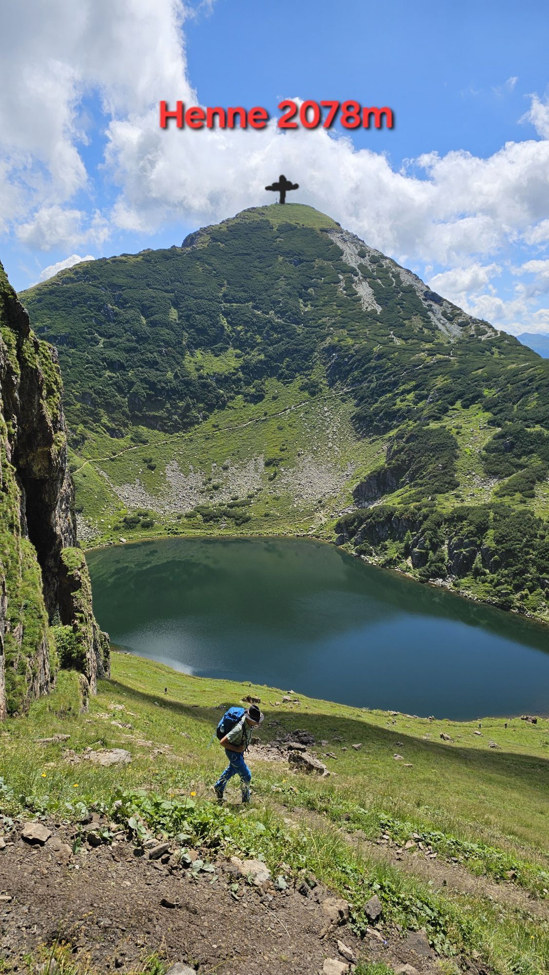
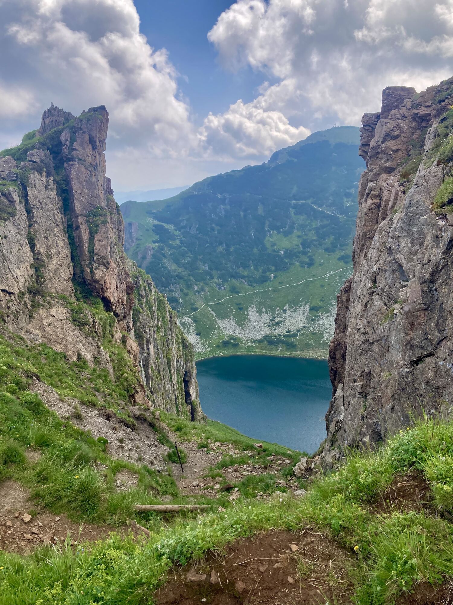
Wildseeloderhaus - Wildseelodergipfel (2118 m)
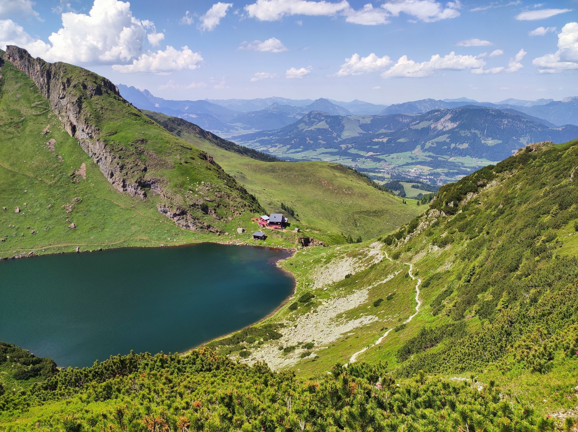
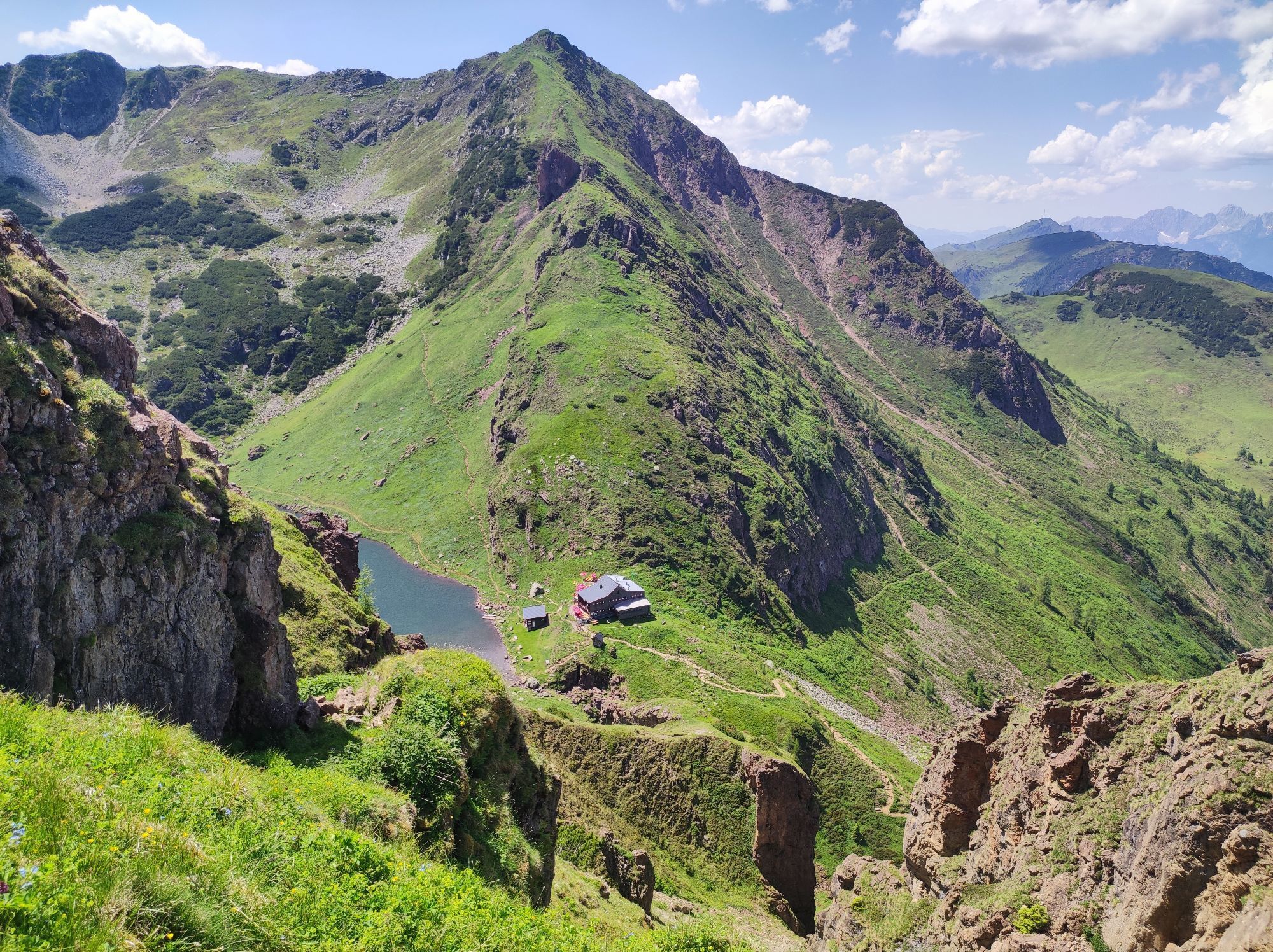
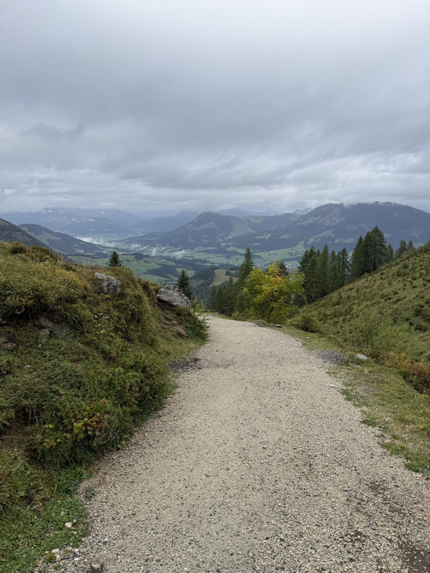

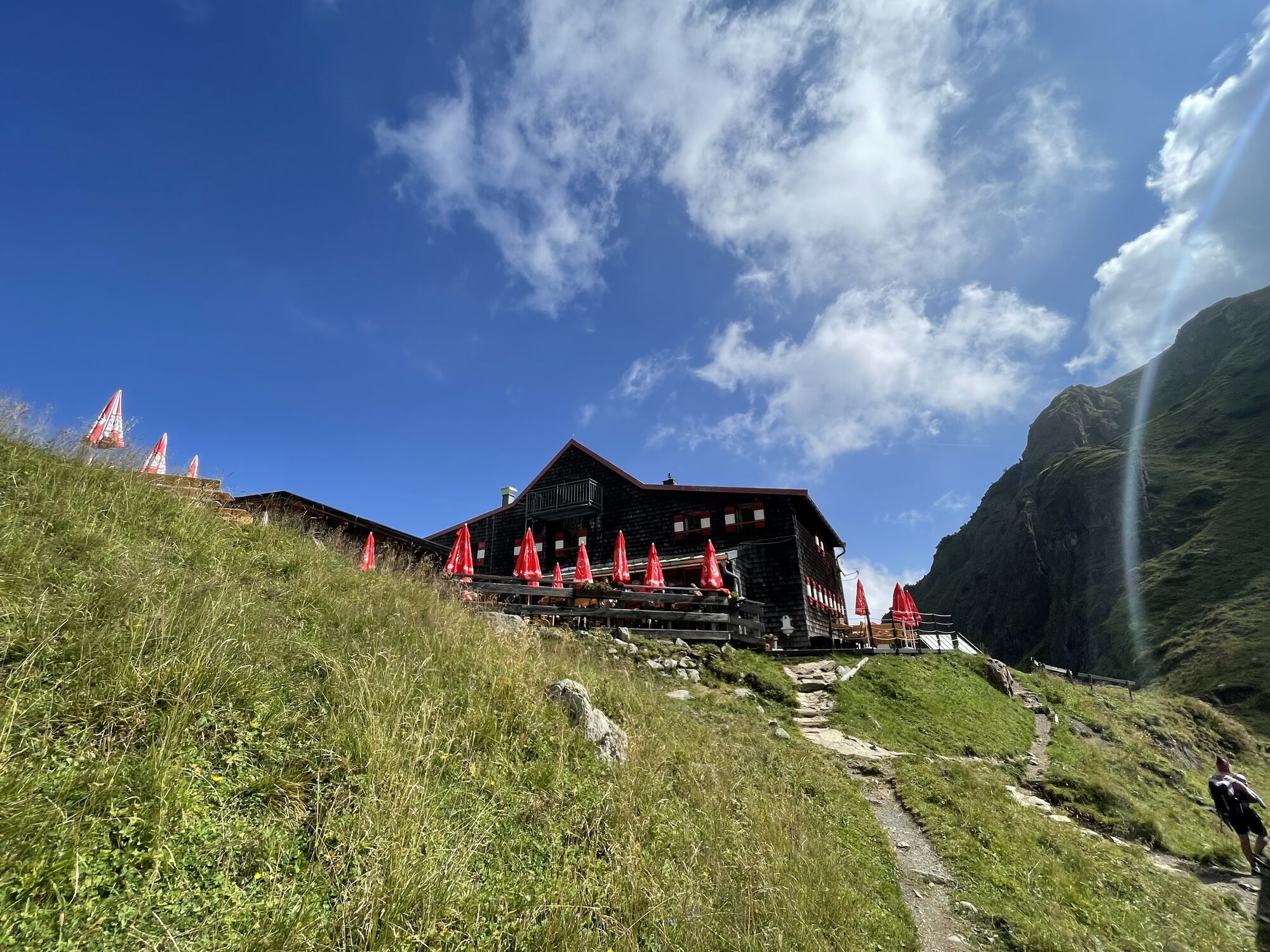
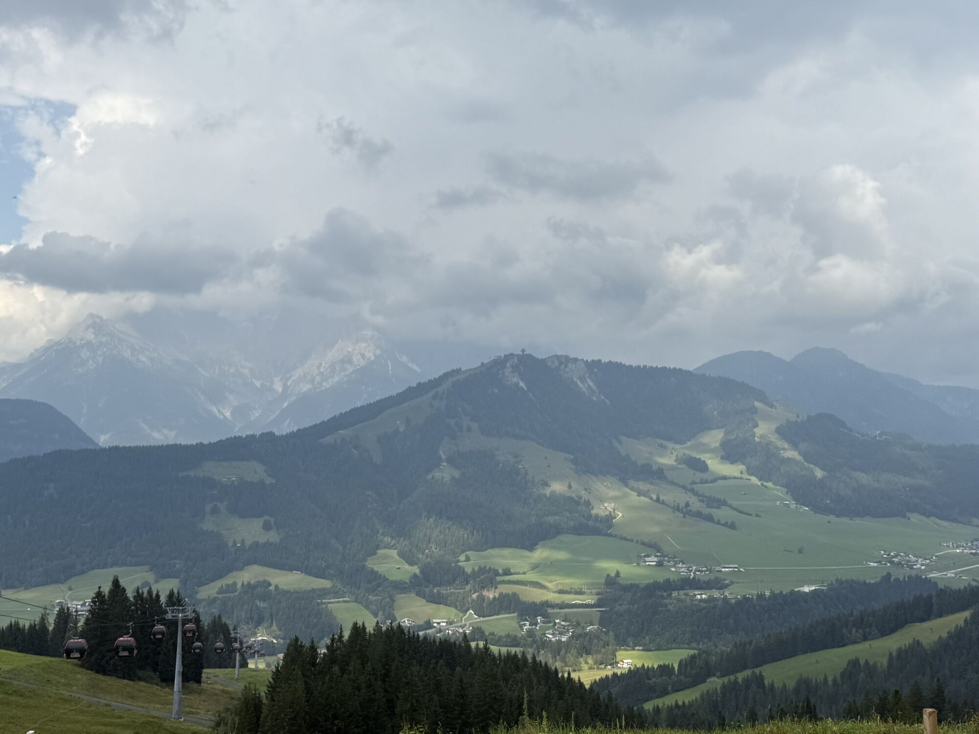

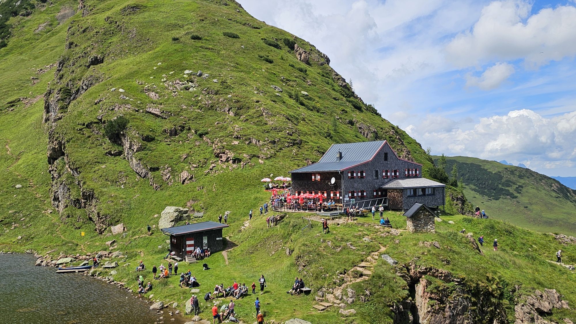

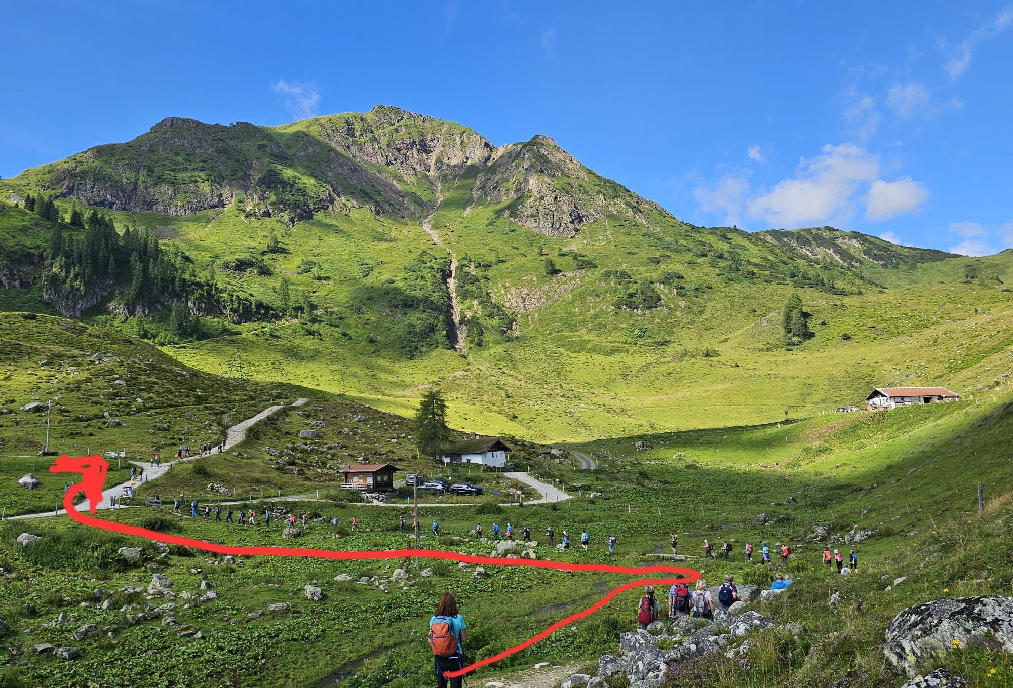

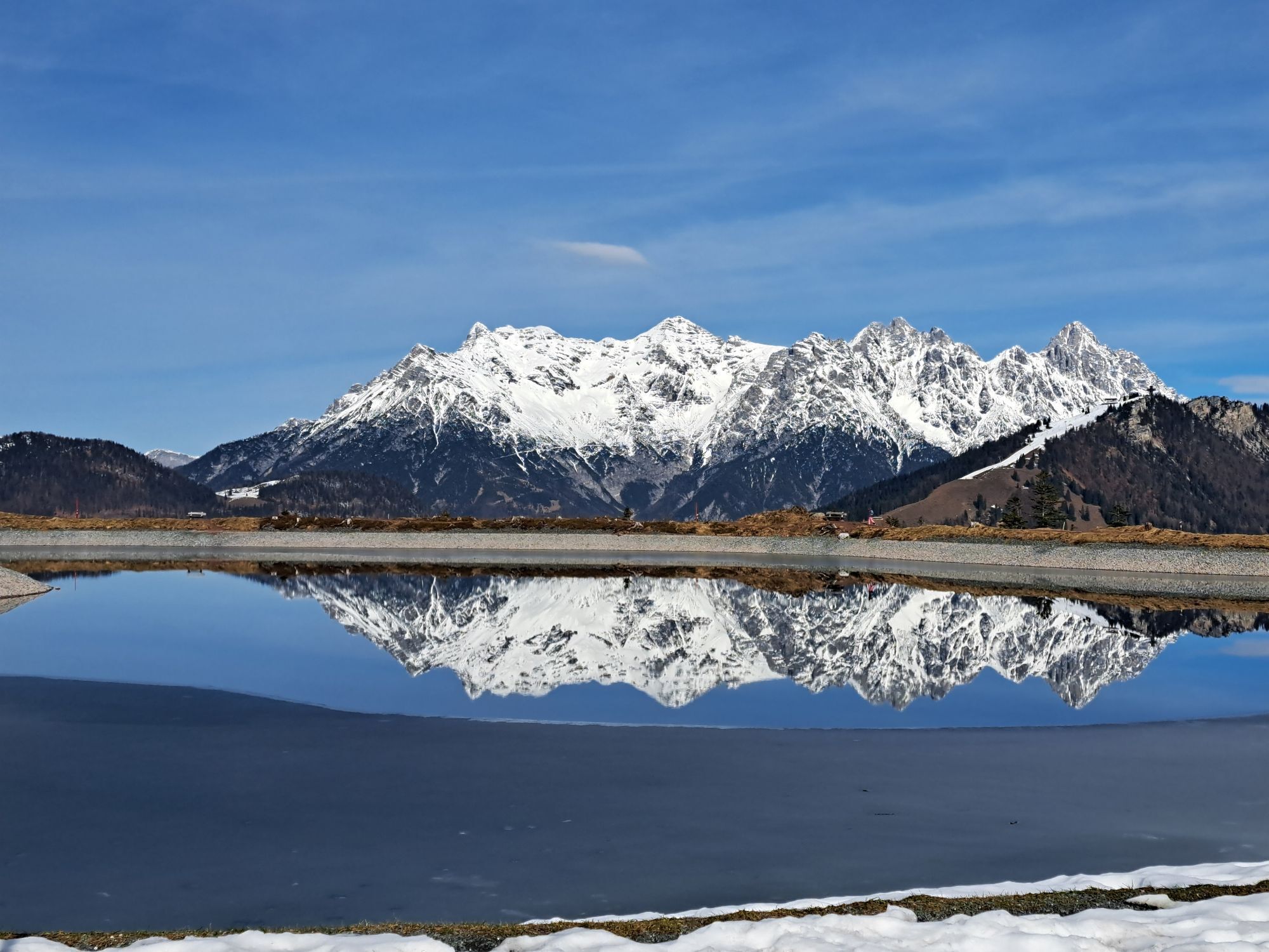
From the village center take the path AV-711 via Rettenwand and Lucht to the Streuböden Alm. First walk to the Wildalpgatterl and then right to the Wildalm and further on to the Wildseeloderhaus. From...
From the village center take the path AV-711 via Rettenwand
and Lucht to the Streuböden Alm. First walk
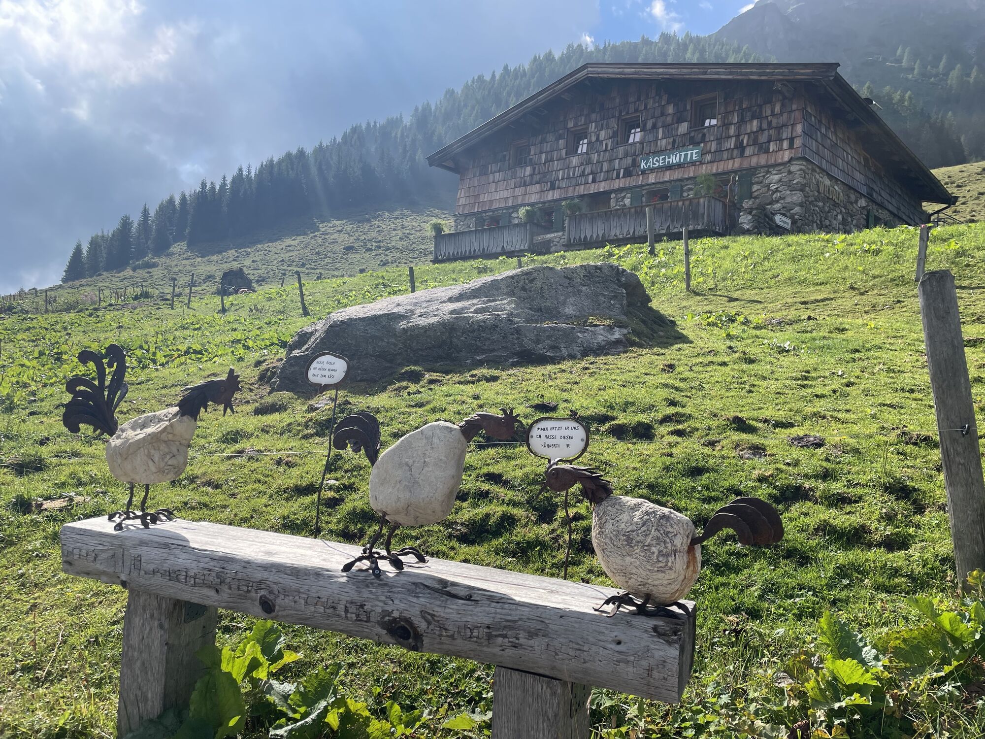
to the Wildalpgatterl and then right to the Wildalm and
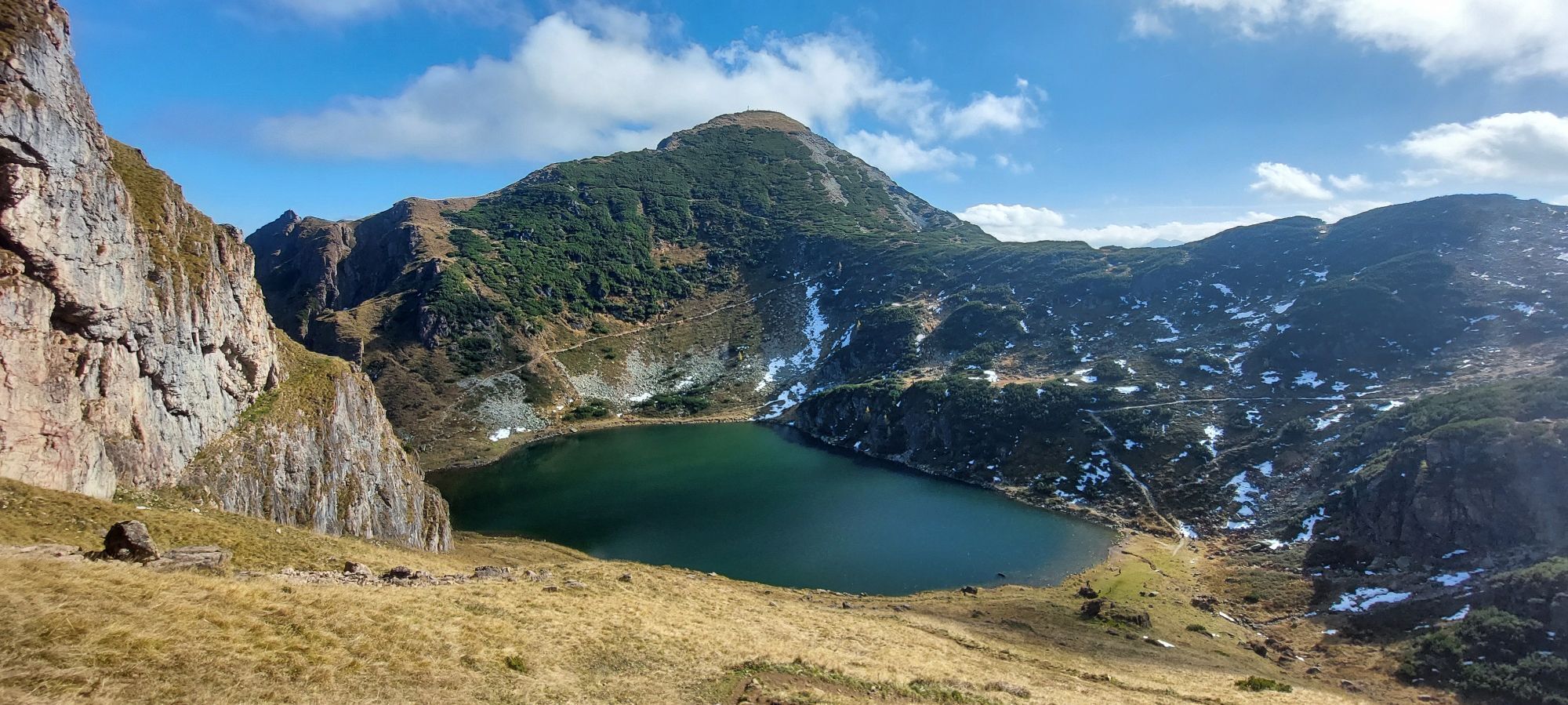
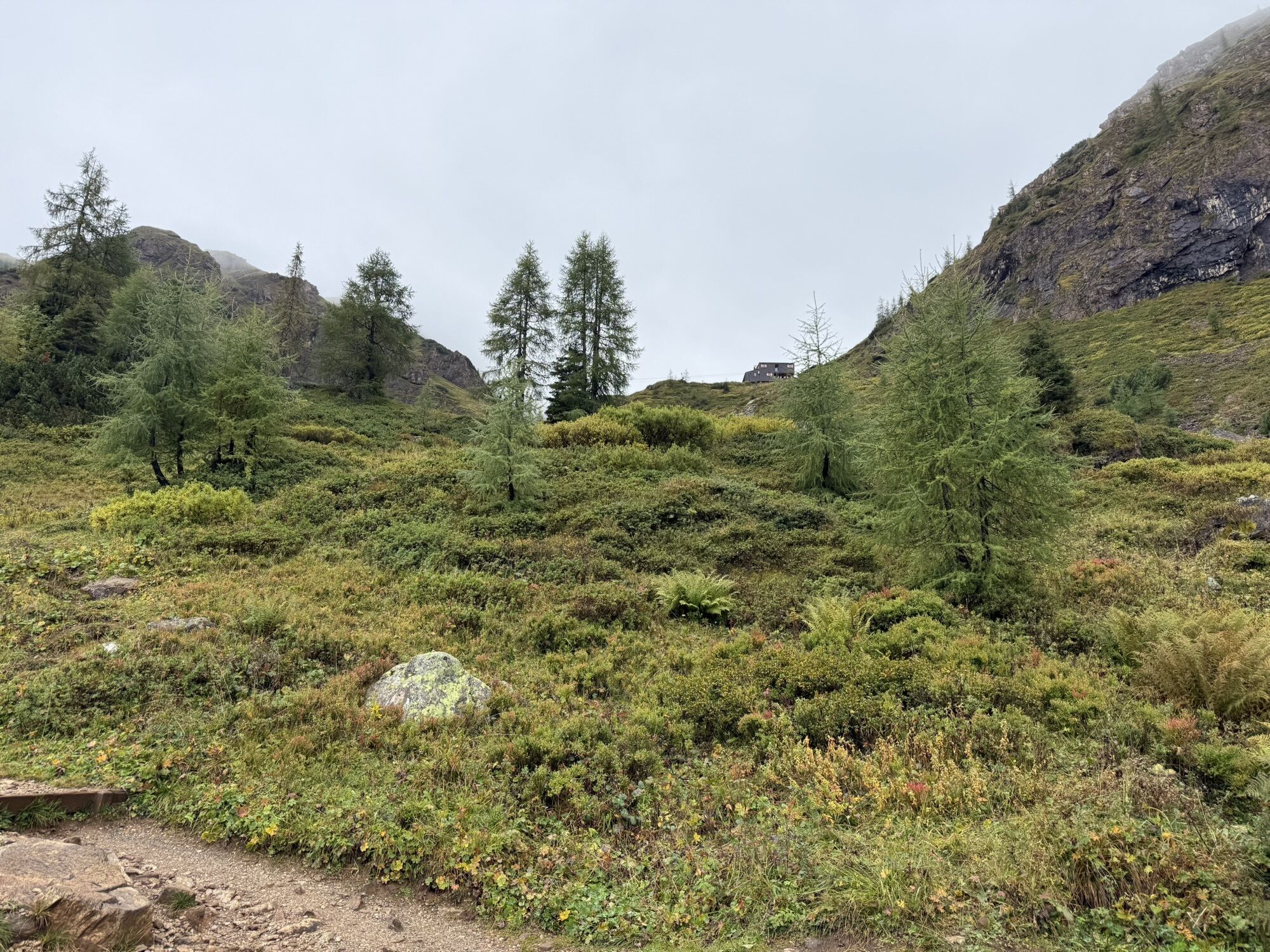
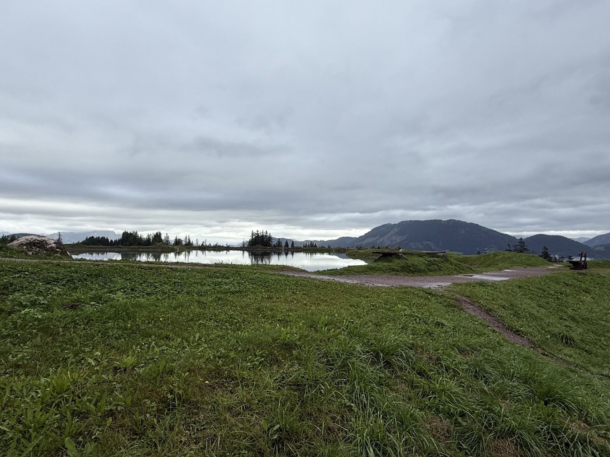
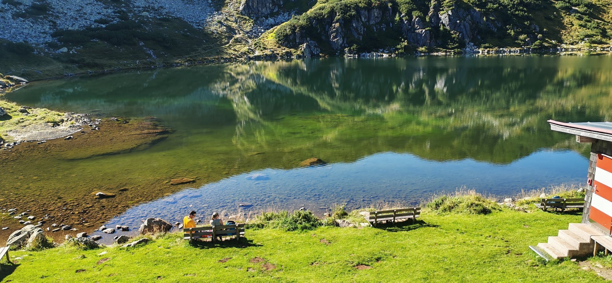
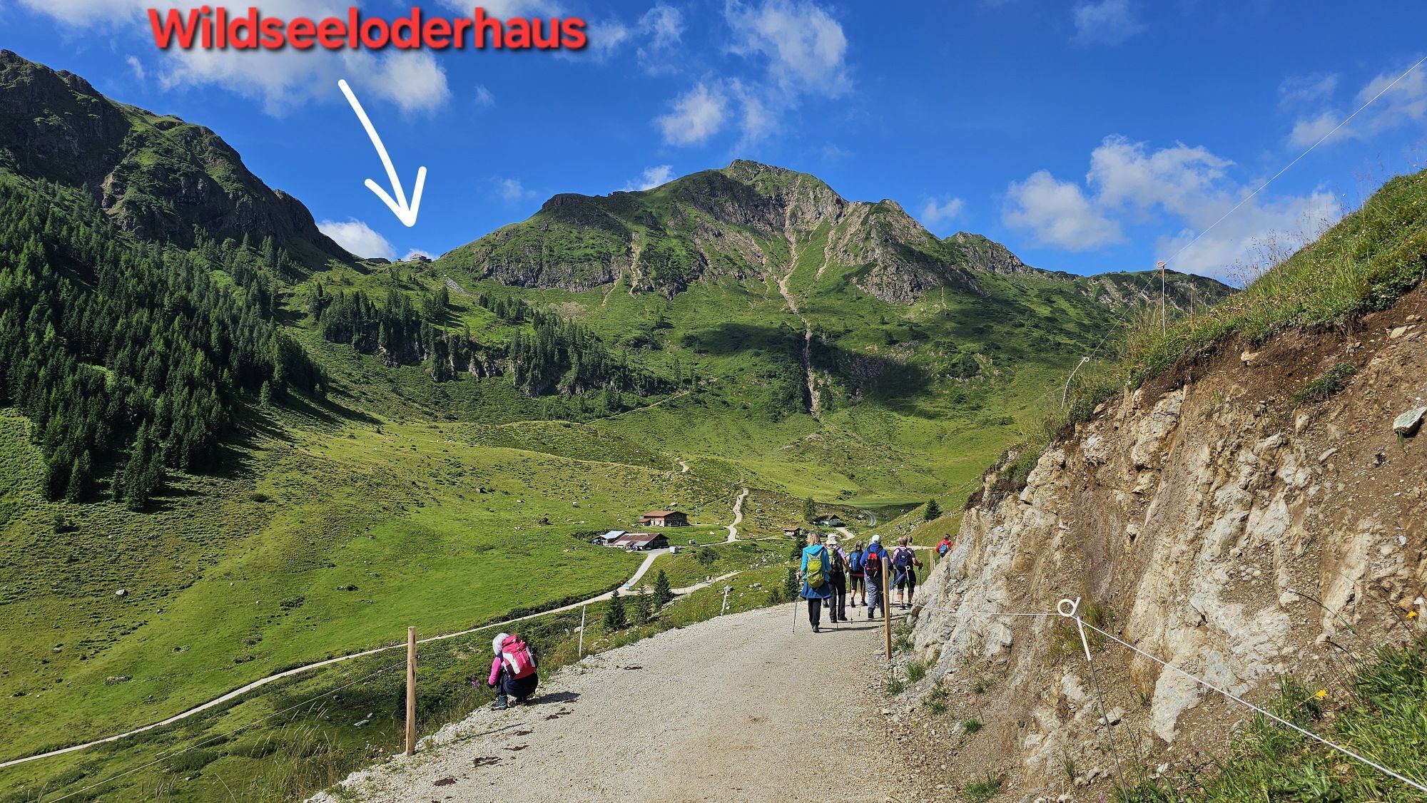
further on to the Wildseeloderhaus. From the refuge the
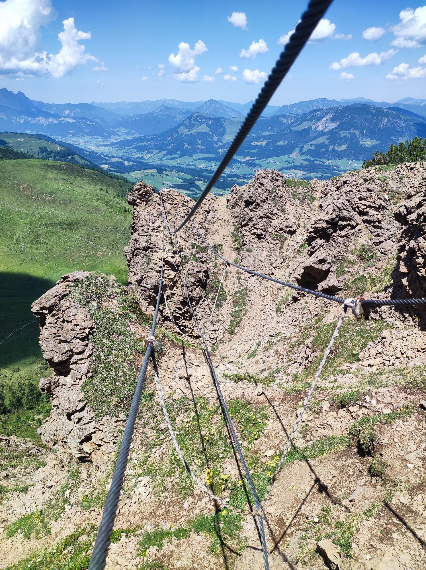
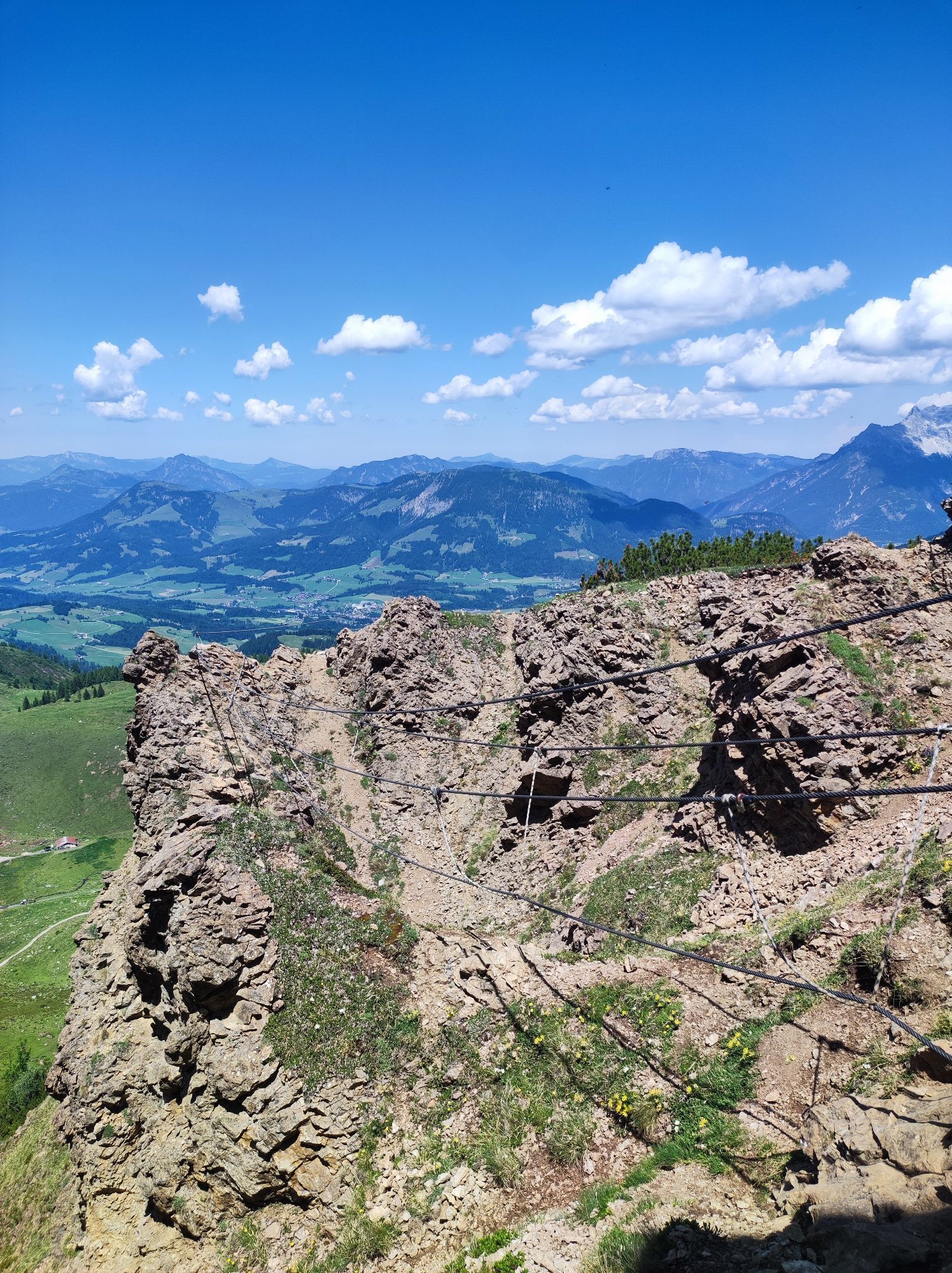
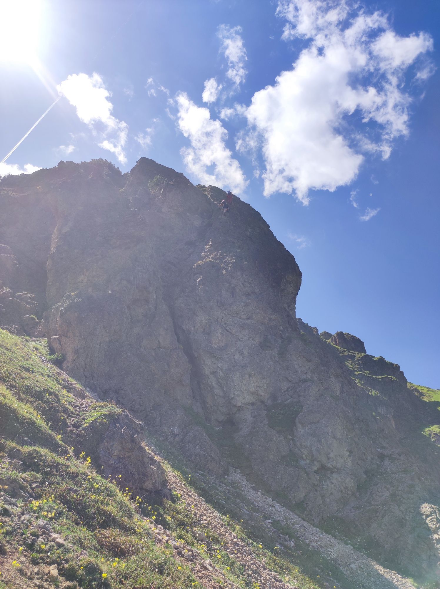
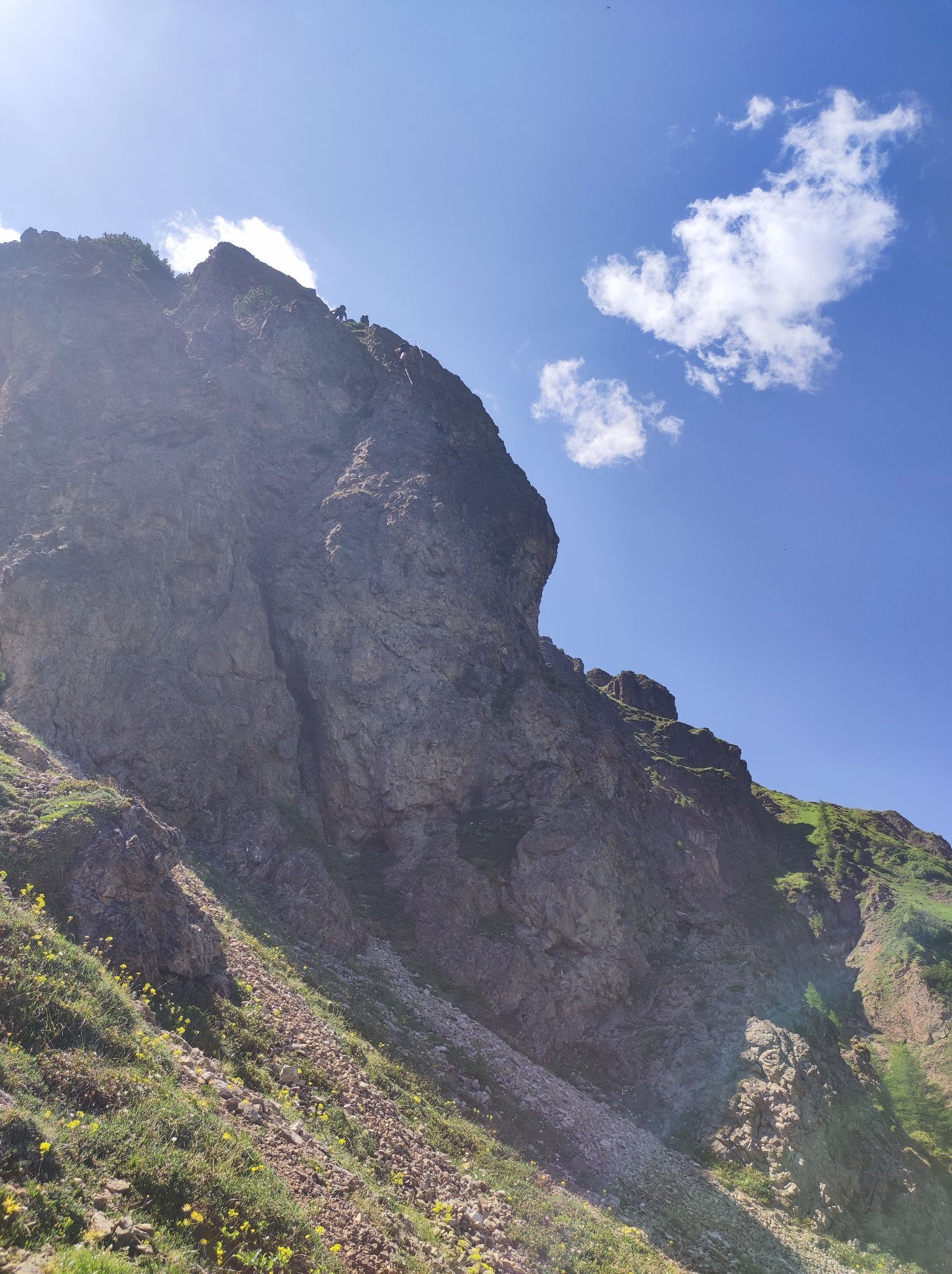
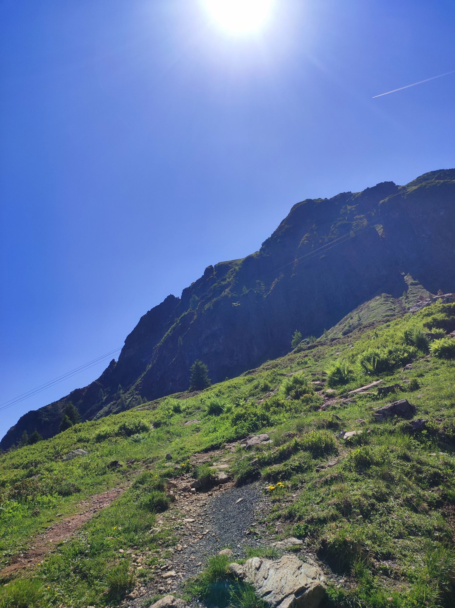
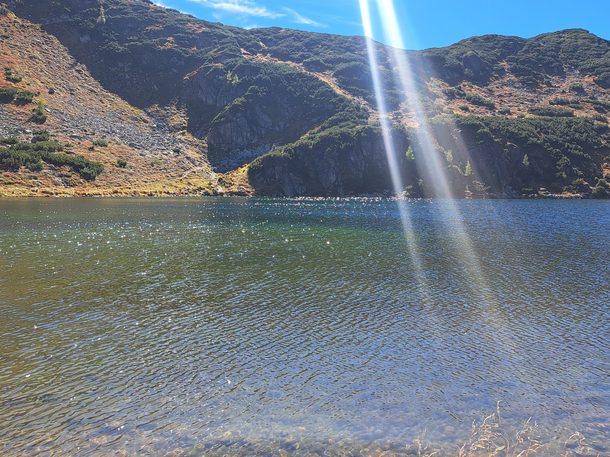
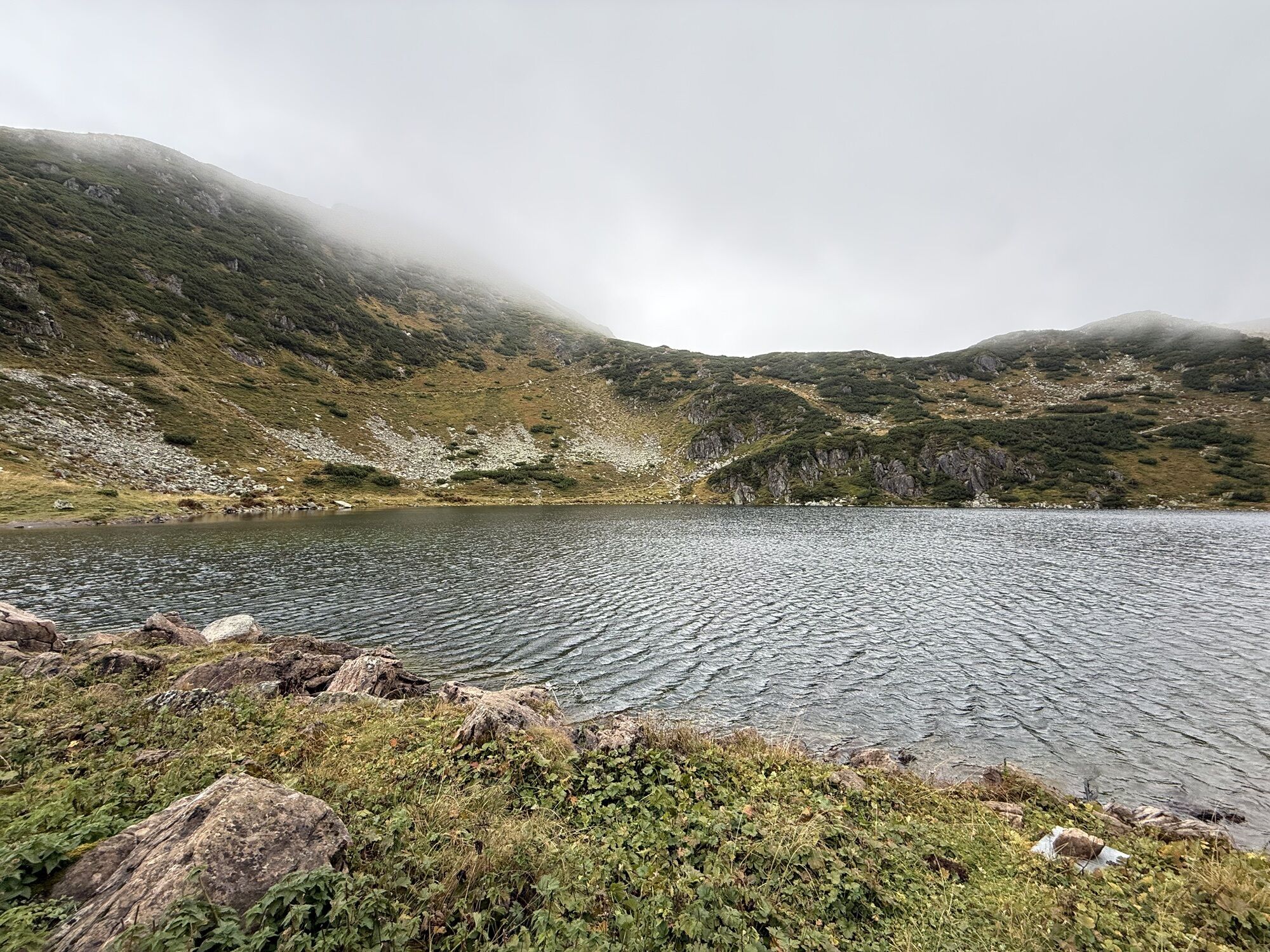
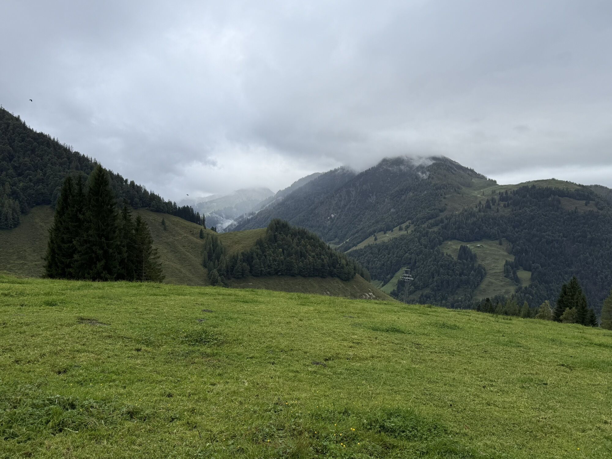
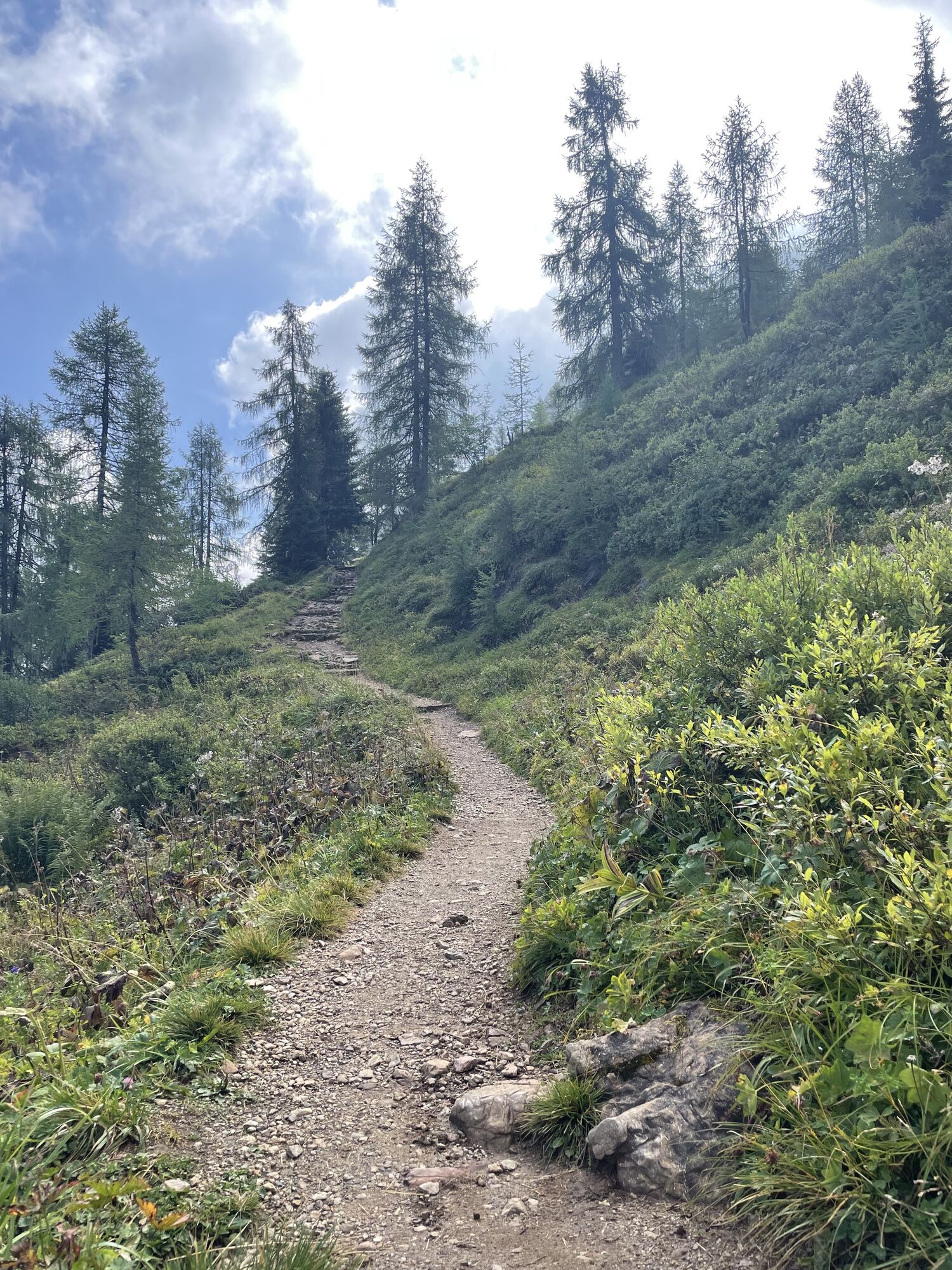
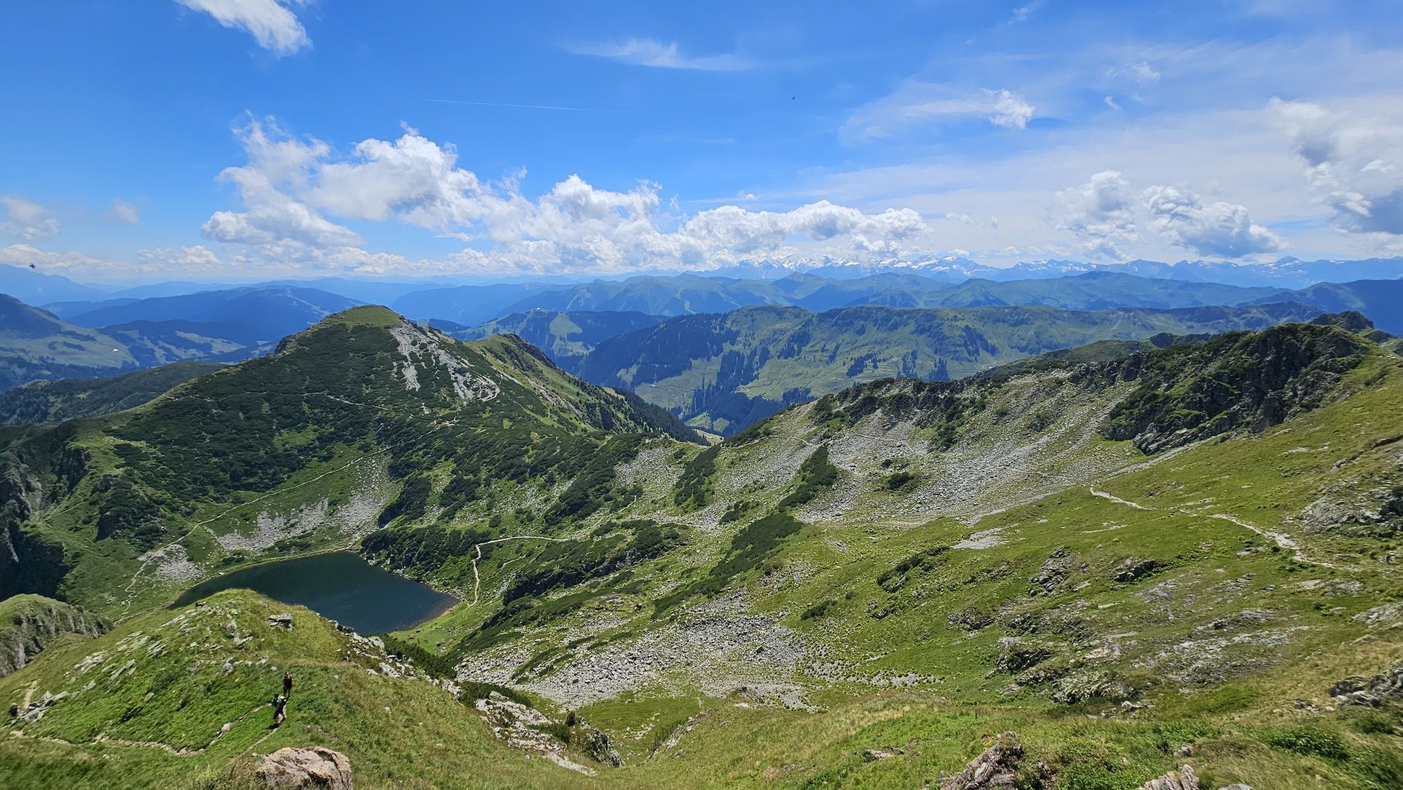
path leads along the right side of the lake up to a treeless
hillside and further along the „Seewand“ towards
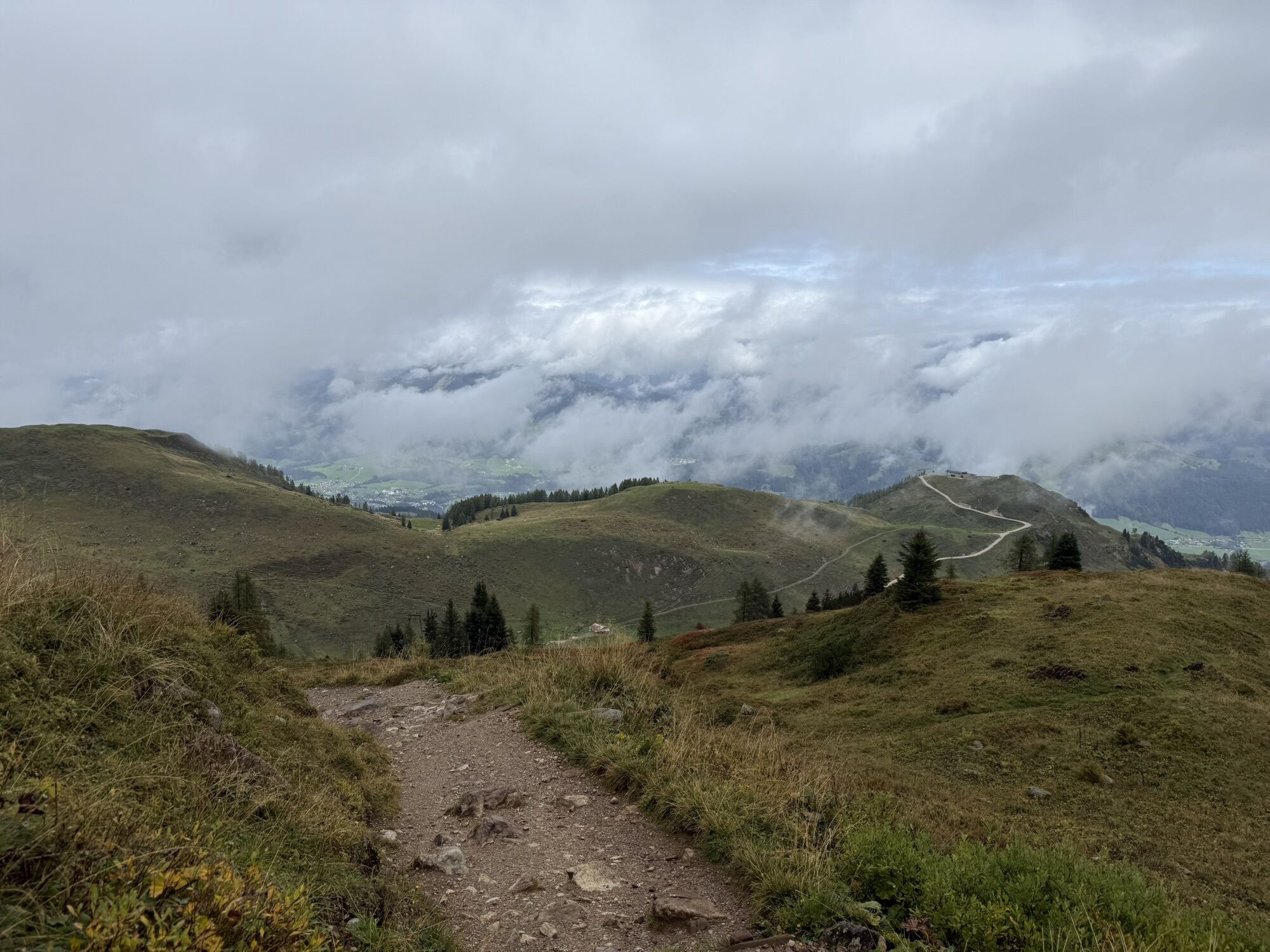
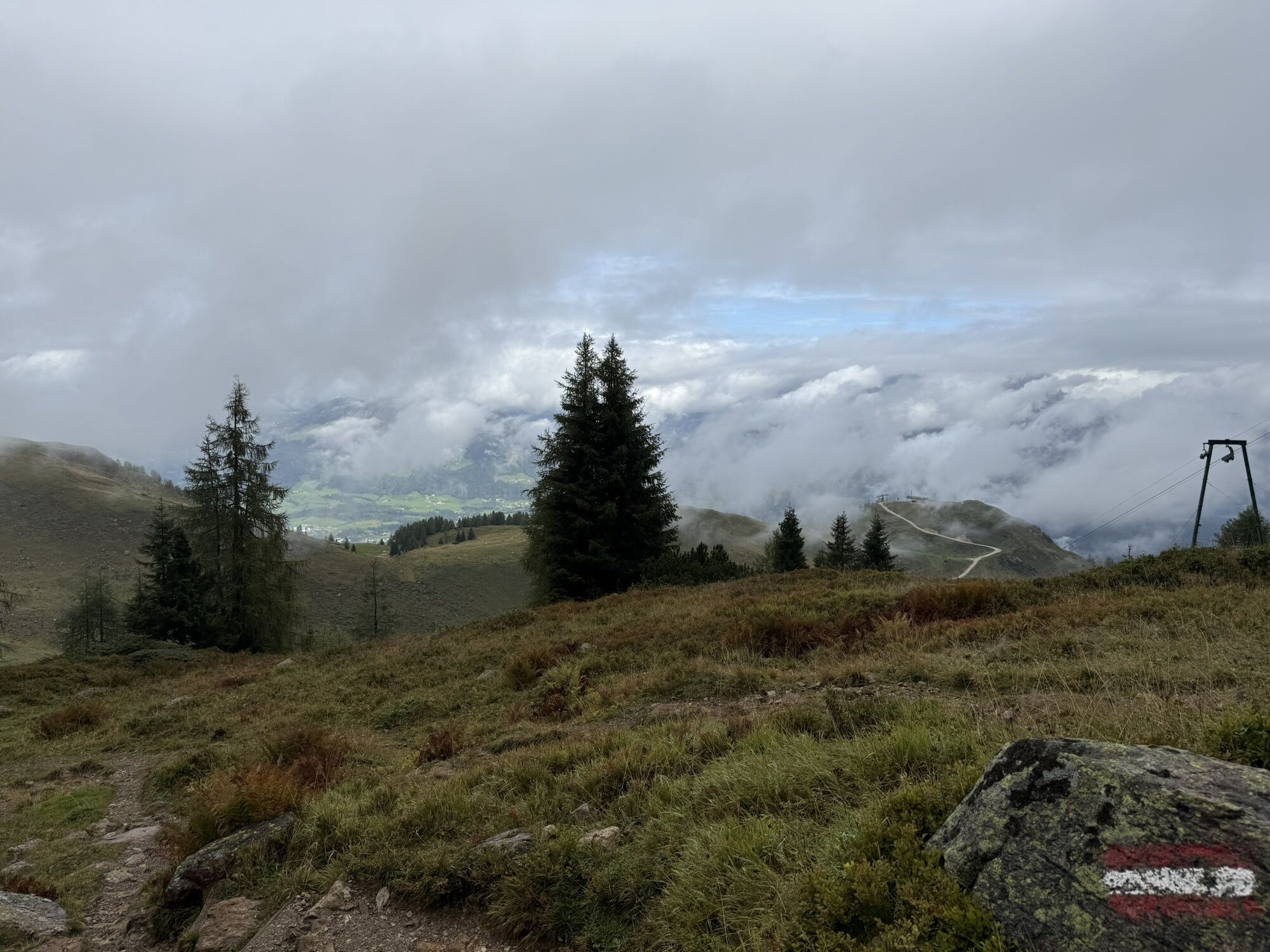
the „Törl“. Through the jag and over a soft ridge you
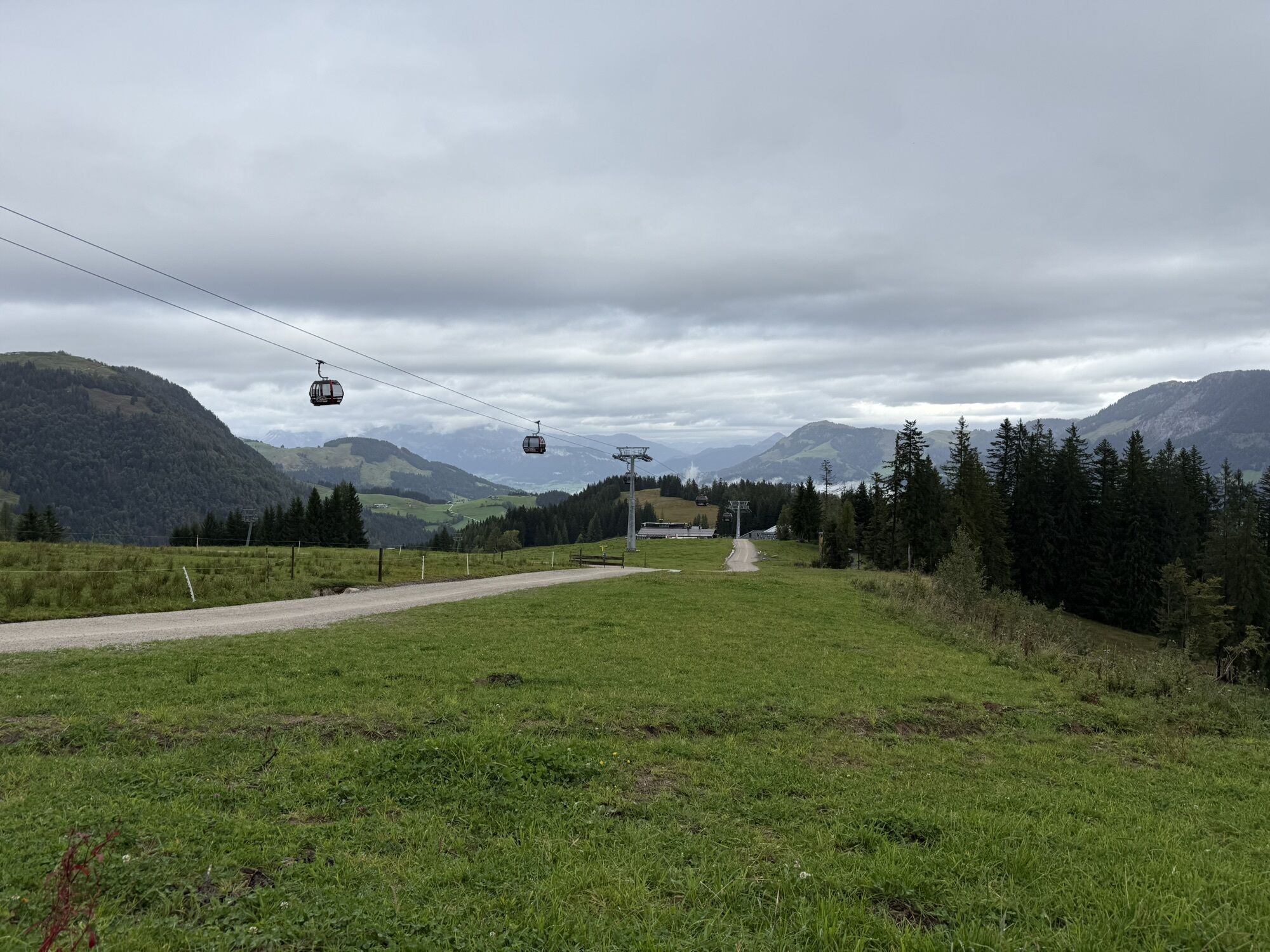
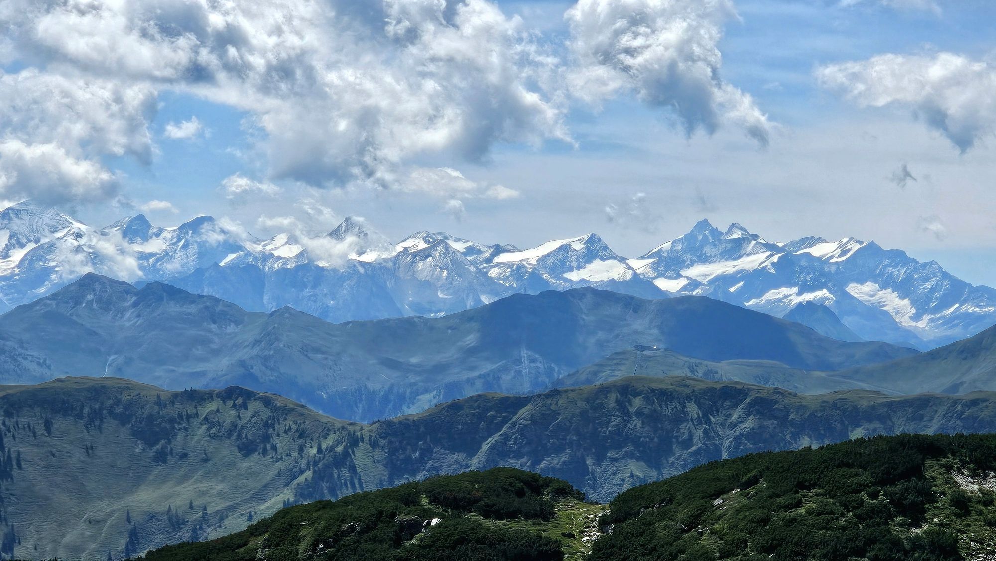
reach the peak in approx. 45 min. By using the cable
car the walking time will be reduced to 2:15 hours.


Variante: Mit den Bergbahnen Fieberbrunn bis zum Lärchfilzkogel, von hier hinunter zur Wildalm und weiter wie oben beschrieben (Gehzeit 2 Stunden)
Streuböden Alm, Wildalpgatterl, Wildseeloderhaus
Wanderkarte Mayr Nr. 61, Wanderkarte Alpenweltverlag Nr. A032, Wanderkarte Kompass Nr. 29
Áno
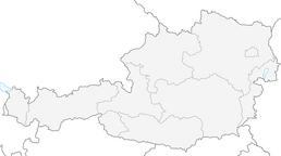
Von Westen/Süden kommend: Über Innsbruck - Ausfahrt Wörgl Ost - B178 nach St. Johann in Tirol - abbiegen auf die B164 nach Fieberbrunn/PillerseeTal.
Von Osten kommend: Über Salzburg A1 - Ausfahrt Salzburg West oder Ausfahrt Bad Reichenhall (A8) - B21 (D) zur B 178 (A) über Lofer nach Waidring/PillerseeTal und weiter auf der Pillerseestraße L2 nach Fieberbrunn.

Obľúbené výlety v okolí
-
4,2
Erpfendorf: Griesbachklamm
strednáTuristika 10 km -
4,9
Streif Wanderweg
strednáTuristika 5,73 km -
4,7
Loferer Steinberge, zum Hinterhorn über die Schmid-Zabierow Hütte, 19.06.22
ťažkéTuristika 14,0 km -
4,6
St. Johann in Tirol: Wasserfall & 3 Seen am Kitzbüheler Horn
strednáTuristika 12,7 km -
4,5
Kitzbüheler Horn über Horn-Gipfel-Höhenweg
strednáTematická trasa 5,30 km -
4,0
Berg der Sinne
svetloTuristika 4,39 km -
5,0
Panorama route 3 peaks and 2 lakes
strednáTuristika 7,21 km -
5,0
Leo’s play hiking trail
svetloTematická trasa 4,89 km -
4,7
Tristkogel
ťažkéTuristika 15,6 km -
4,5
Kitz Bhf- Kitzbühler Horn und zurück zum Alpenhaus
strednáTuristika 11,8 km
Turistika a stopovanie


Nenechajte si ujsť ponuky a inšpiráciu na ďalšiu dovolenku
Vaša e-mailová adresa bol pridaný do poštového zoznamu.