



Kirchberg/Schafelberg

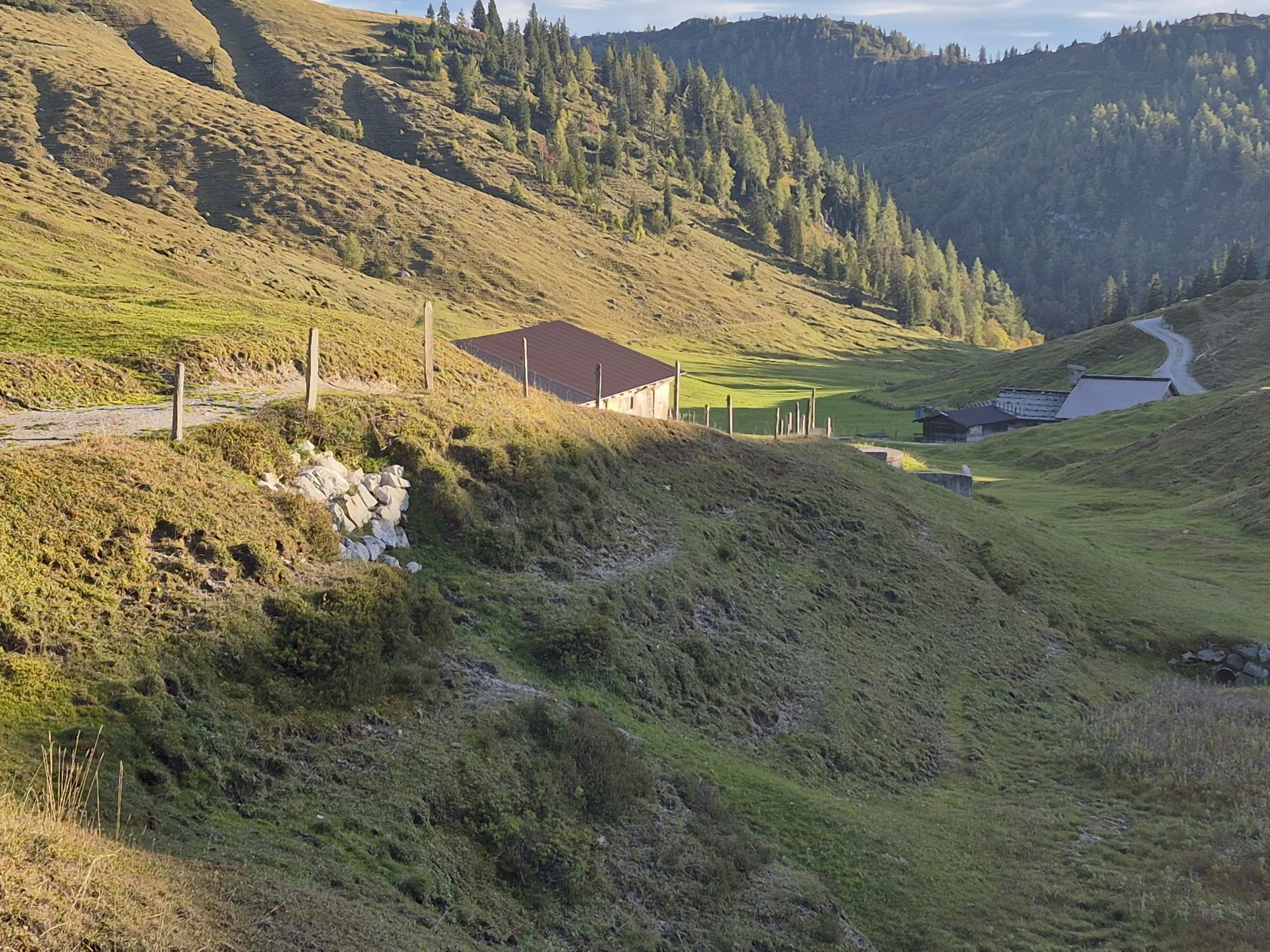
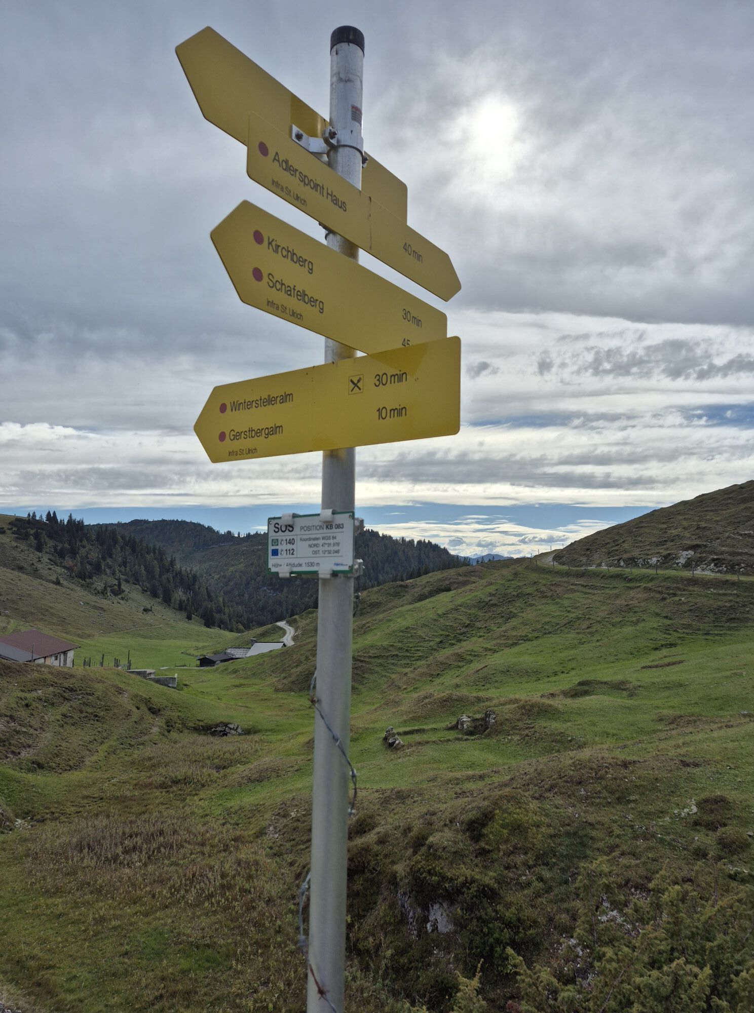

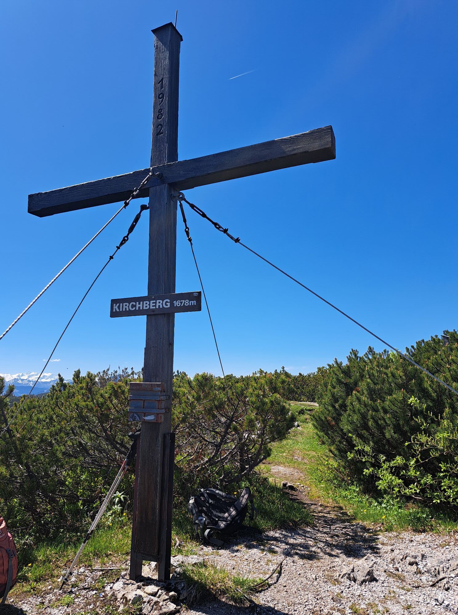

From the Latschenbad walk via the spectacular „Steinerne Stiege“ through the so-called Kalktal (Lime Valley) to the peak of the Kirchberg at an altitude of 1.679 m. From there further on to the Schafelberg...
From the Latschenbad walk via the spectacular „Steinerne
Stiege“ through the so-called Kalktal (Lime Valley)
to the peak of the Kirchberg at an altitude of 1.679
m. From there further on to the Schafelberg (1.597 m).
The shorter but very steep descent leads over the Teufelspalfen
directly back to the Latschenbad. Very good
physical constitution, endurance, free from vertigo and
safe over steep terrain necessary!


in allen Tourismusverbänden im PillerseeTal

Webové kamery z prehliadky



Obľúbené výlety v okolí
-
4,7
Kirchdorf: Zur geheimnisvollen Teufelsgasse
strednáTuristika 7,90 km -
4,4
Erpfendorf: Griesbachklamm
strednáTuristika 10 km -
4,9
Schleierwasserfall Runde
strednáTuristika 5,63 km -
4,7
Over the waterfall trail into the Almenwelt Lofer
strednáTuristika 3,29 km -
4,4
Kitzbüheler Horn über Horn-Gipfel-Höhenweg
strednáTematická trasa 5,30 km -
4,8
Loferer Steinberge, zum Hinterhorn über die Schmid-Zabierow Hütte, 19.06.22
ťažkéTuristika 14,0 km -
4,7
St. Johann in Tirol: Wasserfall & 3 Seen am Kitzbüheler Horn
strednáTuristika 12,7 km -
4,5
Kitz Bhf- Kitzbühler Horn und zurück zum Alpenhaus
strednáTuristika 11,8 km -
4,2
Vorderkaserklamm
svetloTuristika 1,24 km -
4,8
Through the Stone Age to Vorderkaser
svetloTuristika 5,87 km
Turistika a stopovanie


Nenechajte si ujsť ponuky a inšpiráciu na ďalšiu dovolenku
Vaša e-mailová adresa bol pridaný do poštového zoznamu.


