
Die Guslarspitzen und Hintergraslspitzen
ťažké
Získajte túto prehliadku v mobilnom telefóne
Die Guslarspitzen und Hintergraslspitzen
ťažké
Turistika
34,86
km
Naskenujte kód QR a spustite navigáciu v aplikácii bergfex


Turistika a stopovanie




Die Guslarspitzen und Hintergraslspitzen
ťažké
Vzdialenosť
34,9
km
Trvanie
08:24
h
Ascent
1 983
hm
Hladina mora
1 886 -
3 120
m

Naviguj sa počas prehliadky v aplikácii
Nainštalujte si aplikáciu zadarmo a sledujte trasu vďaka GPS navigácii a sledovaniu polohy.
Využite službu „ bergfex “ už teraz v aplikácii
Naskenuj QR kód pomocou fotoaparátu
Ak máte aplikáciu nainštalovanú, obsah sa otvorí priamo. Ak aplikáciu ešte nemáte, budete presmerovaní na stránku, kde si ju môžete bezplatne stiahnuť.
Stiahnutie skladby
Die Guslarspitzen und Hintergraslspitzen
ťažké
Turistika
34,86
km
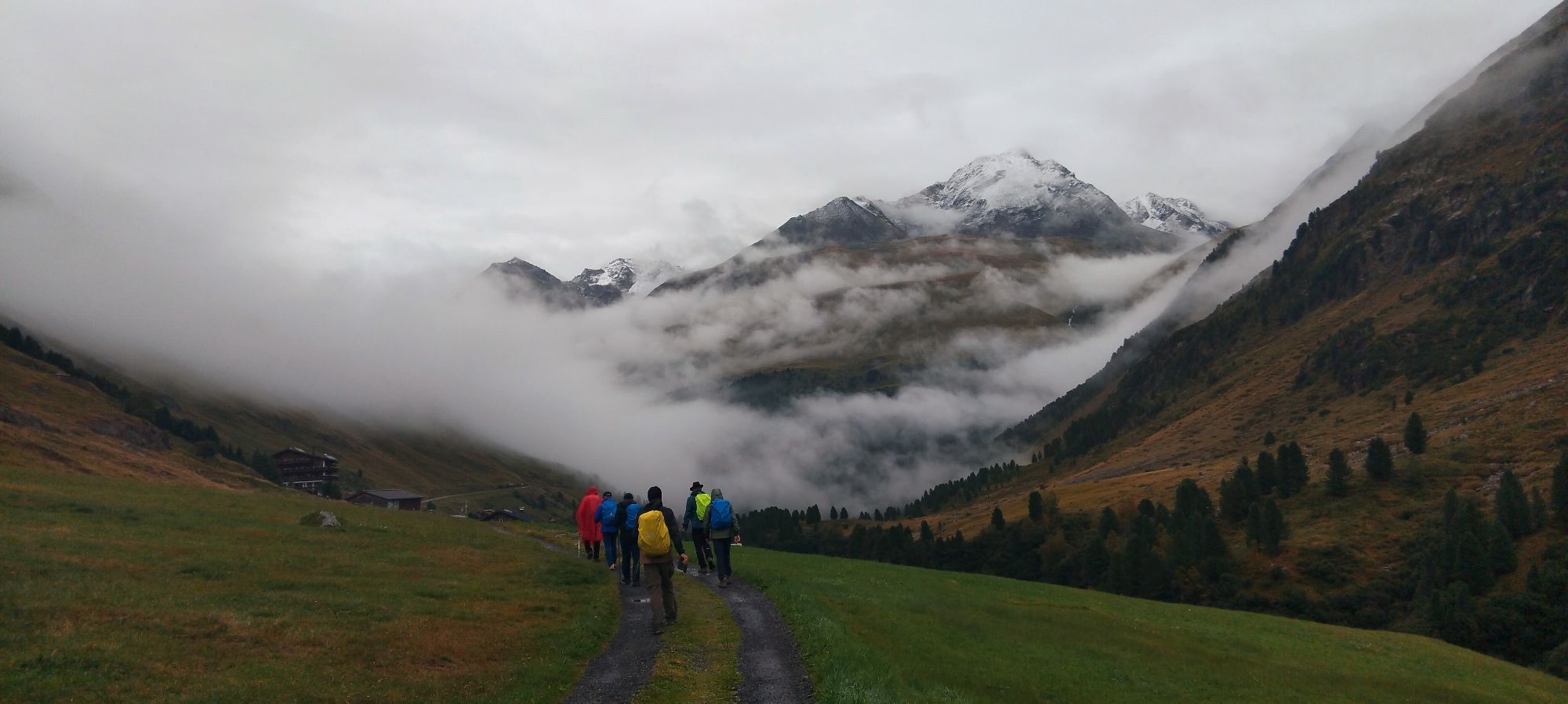
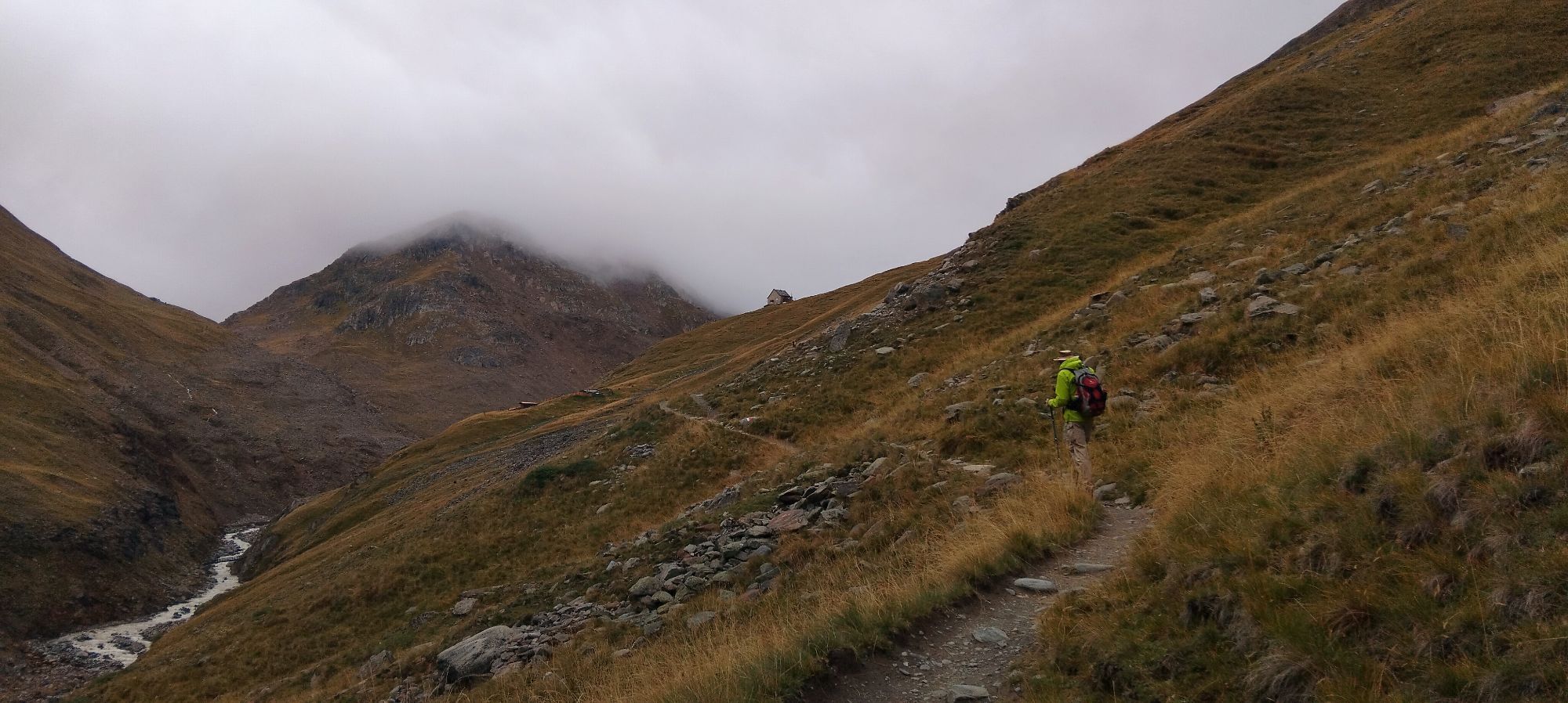
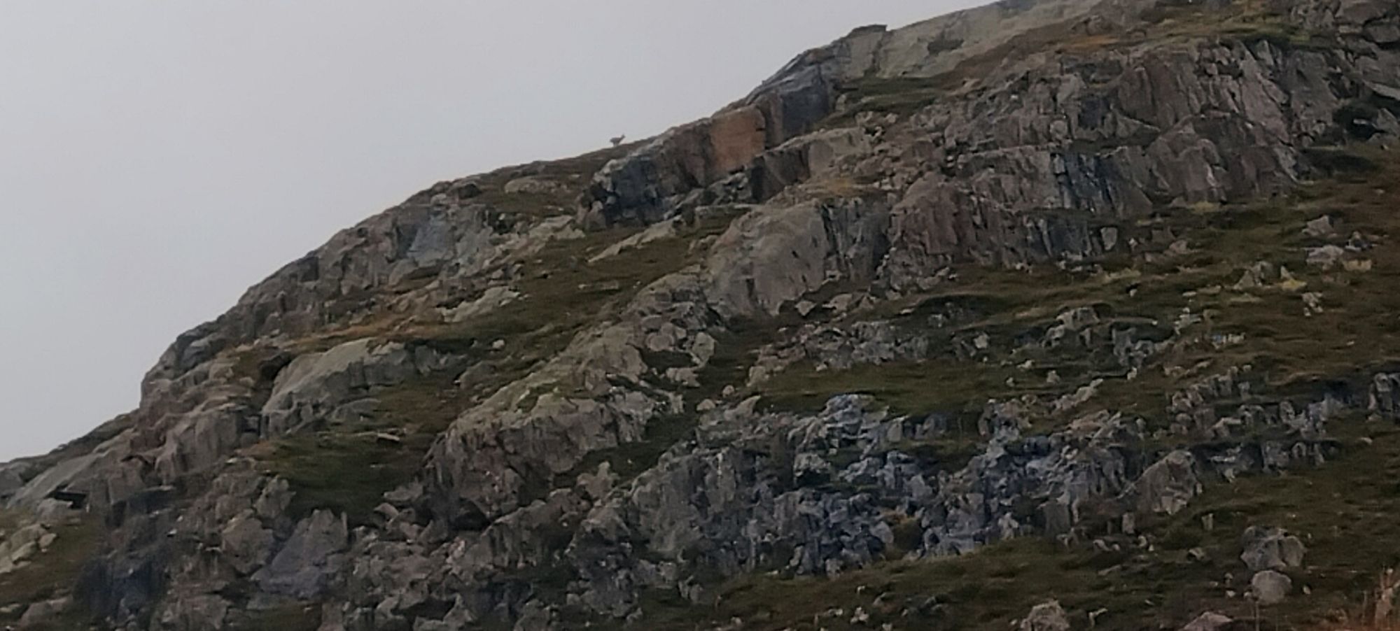
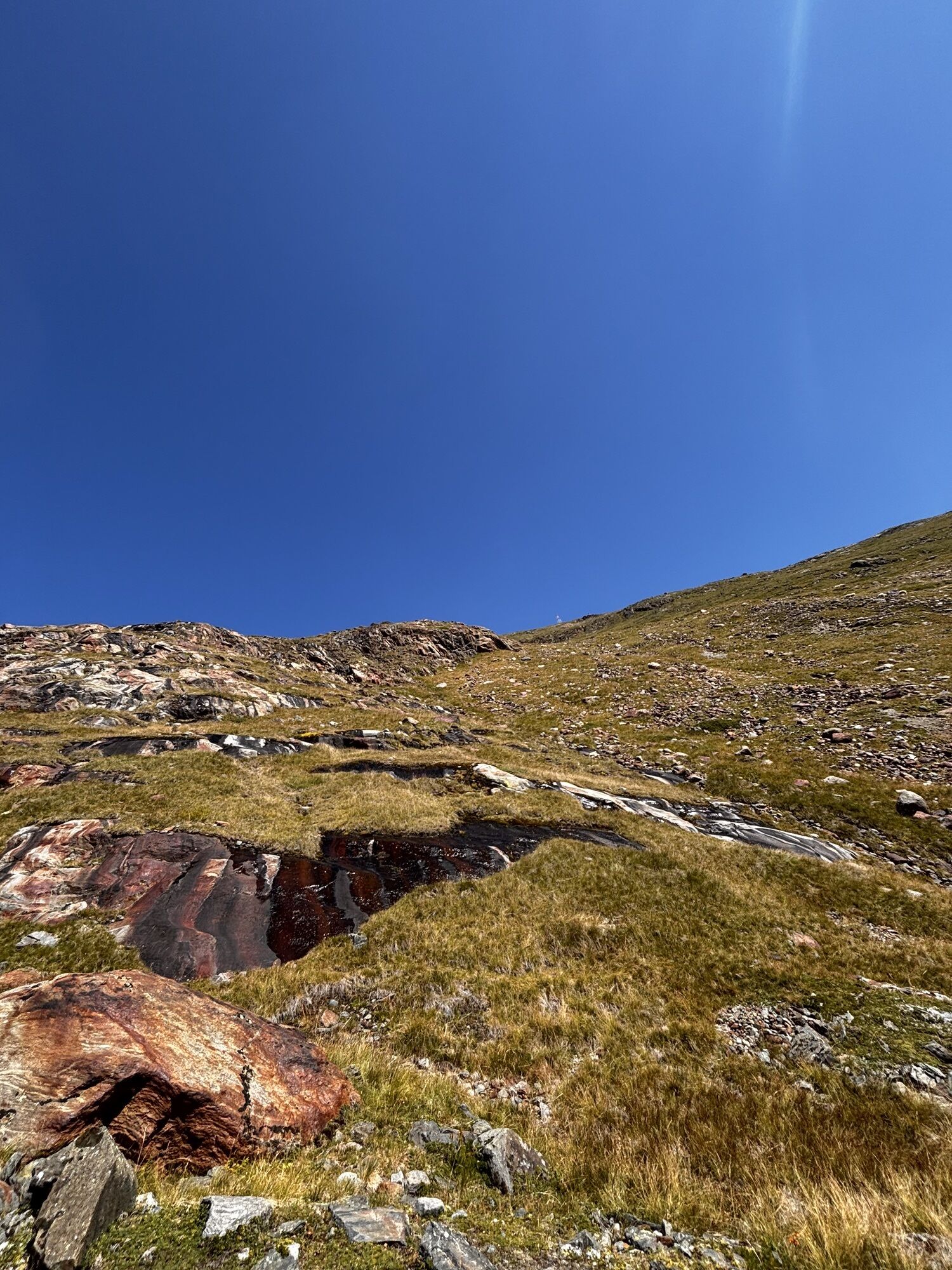
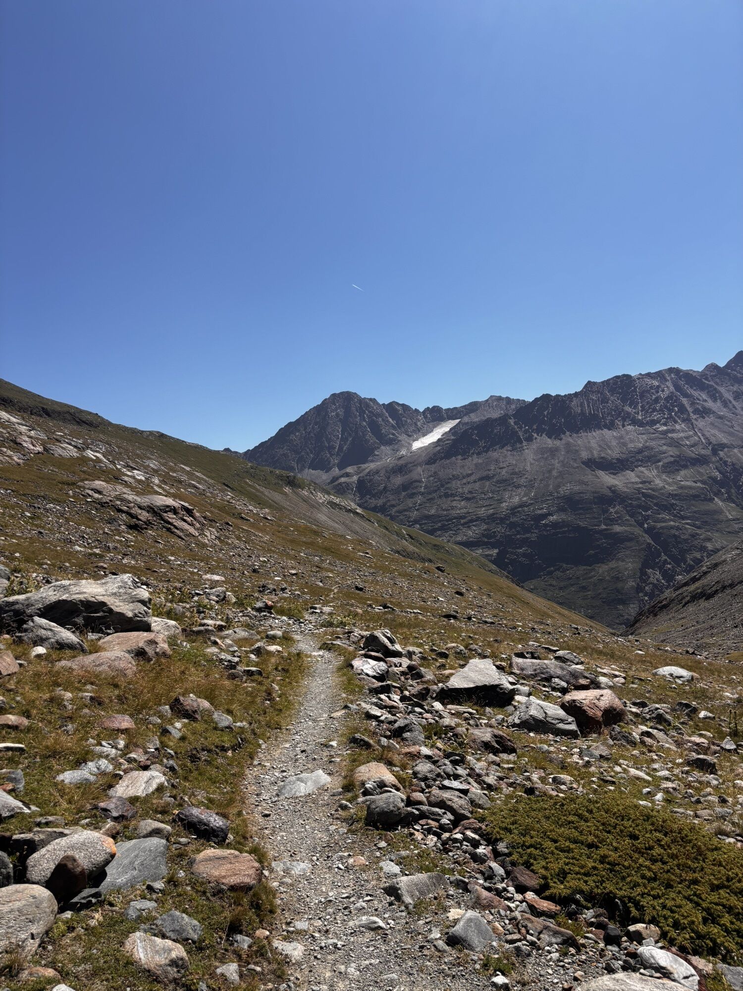
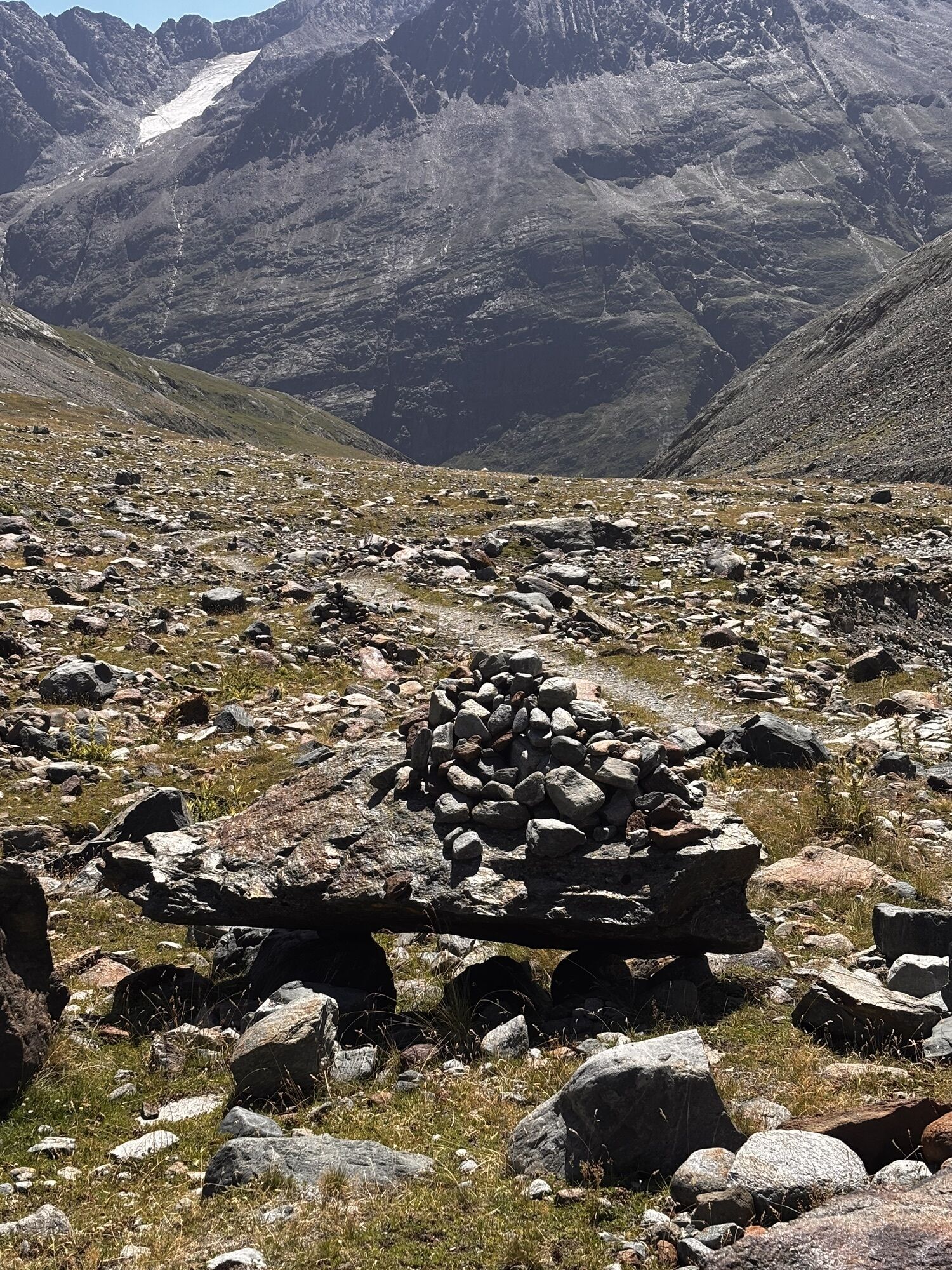
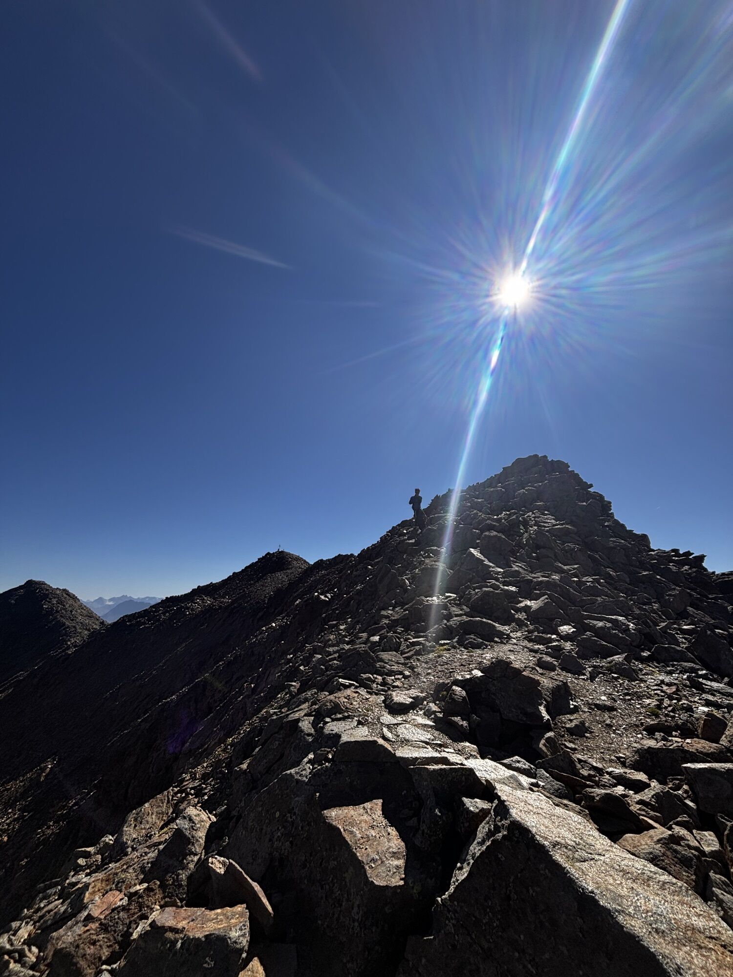
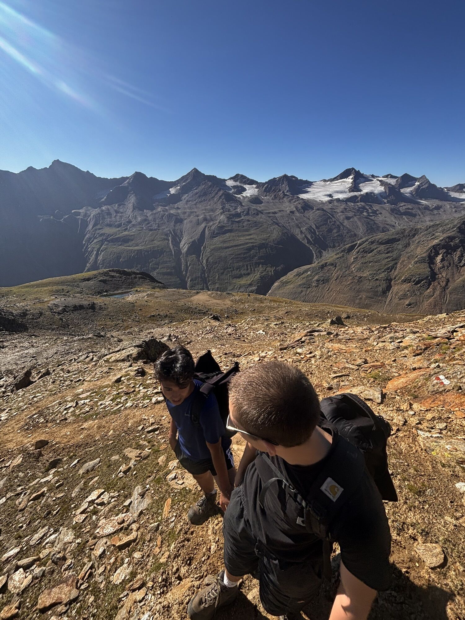
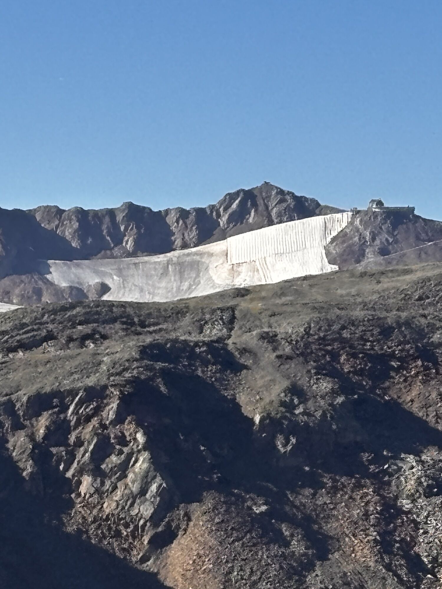
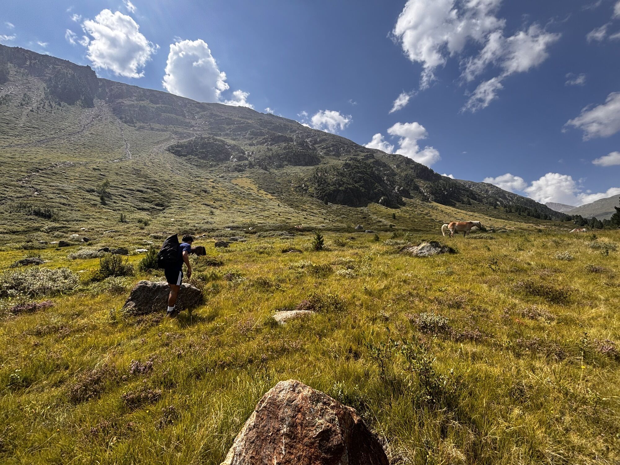
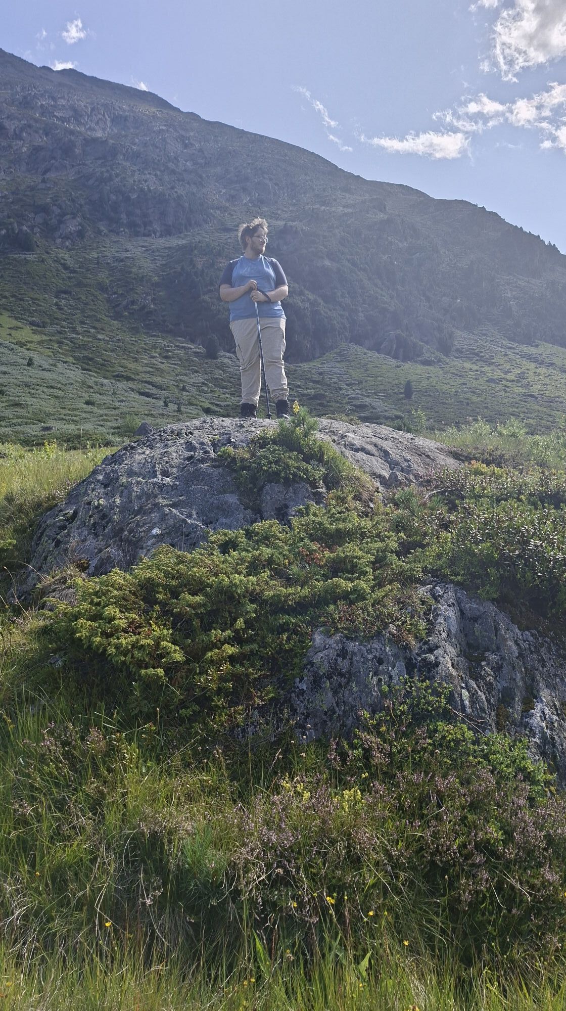
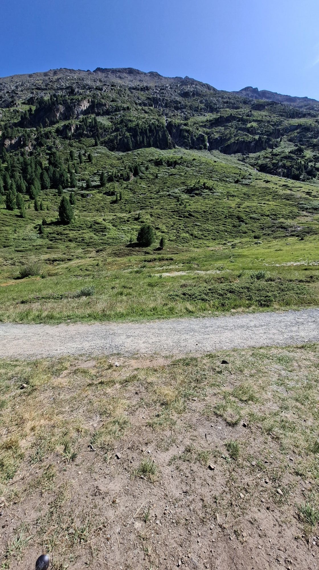
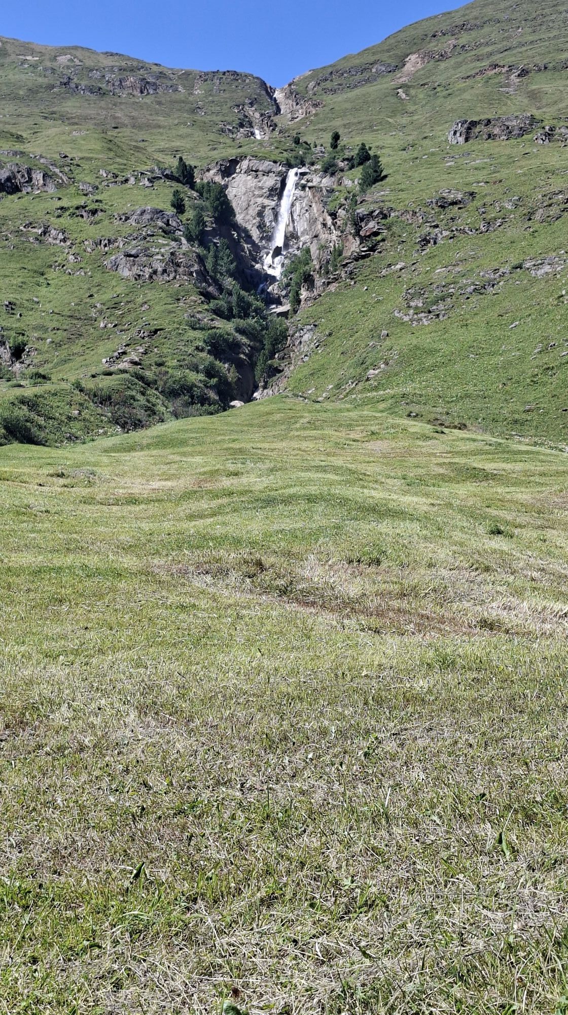
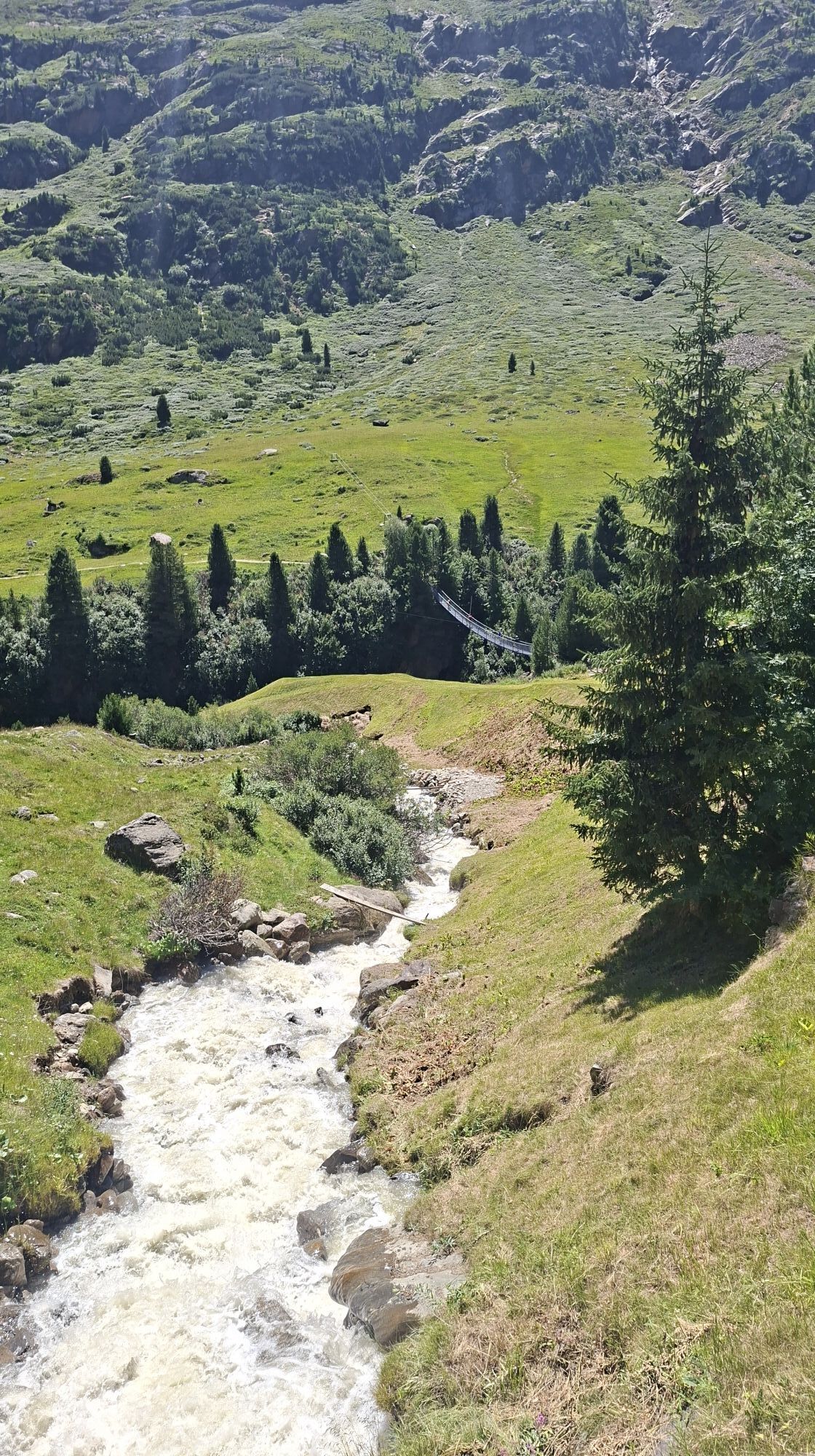
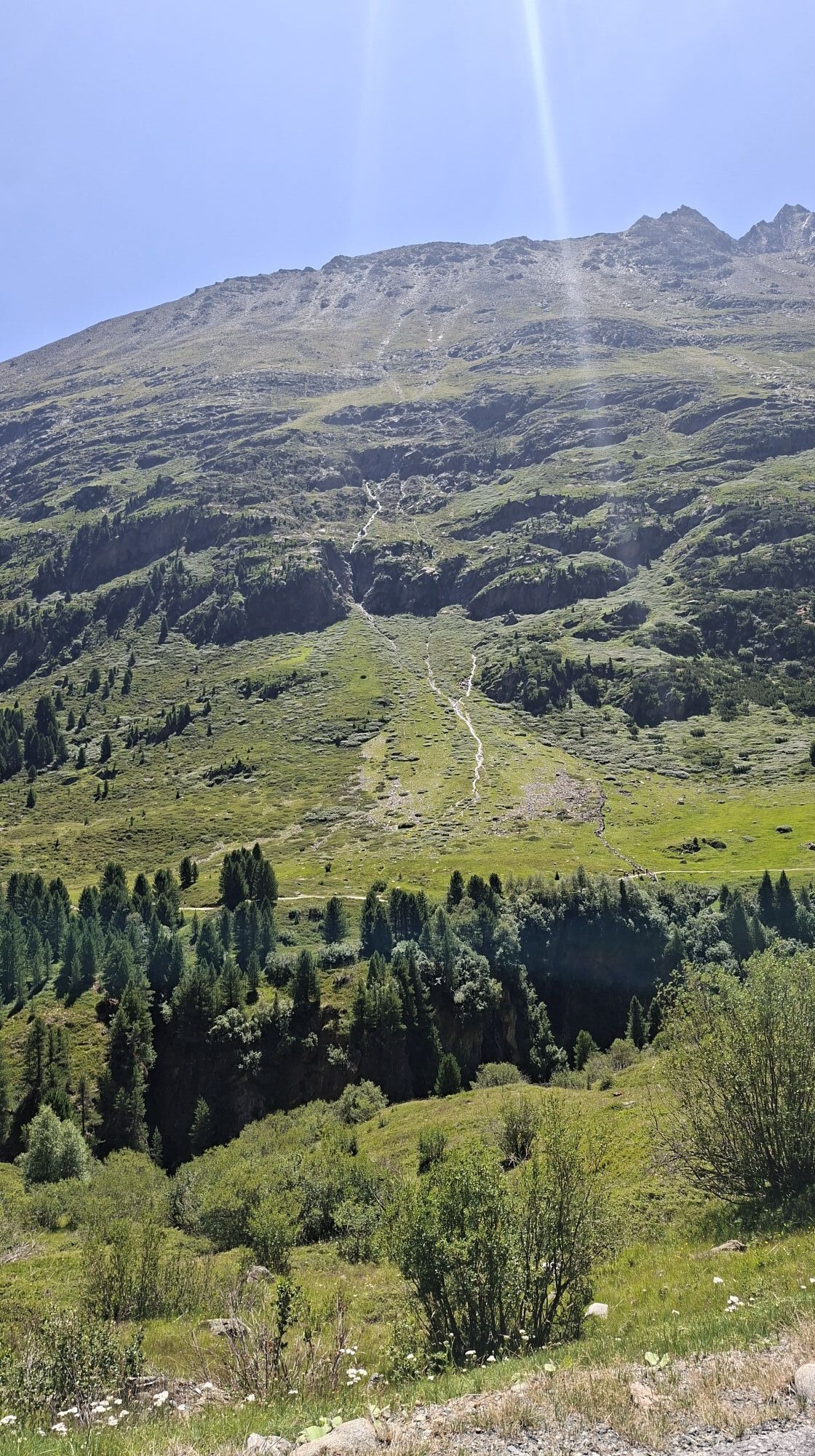
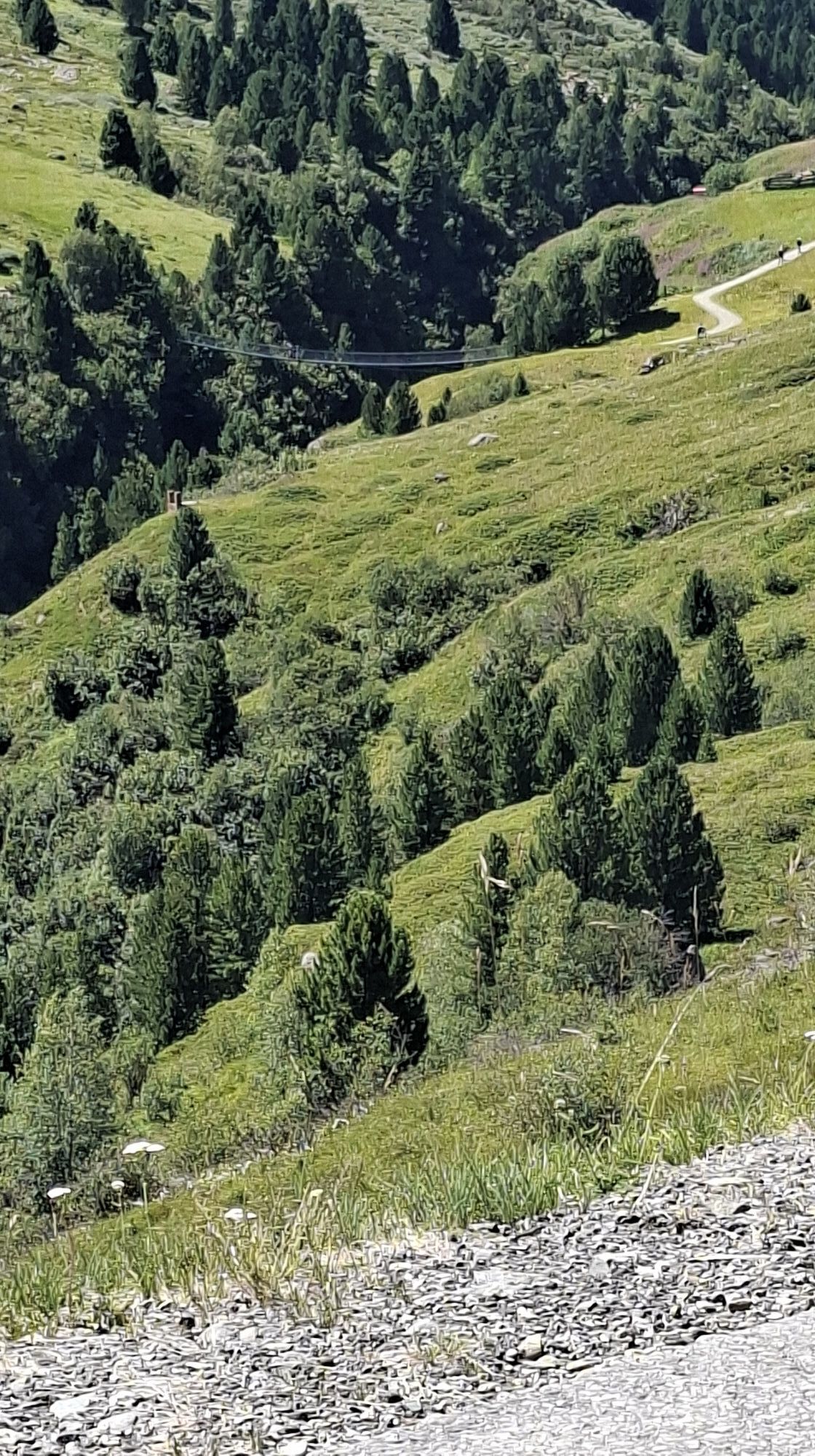
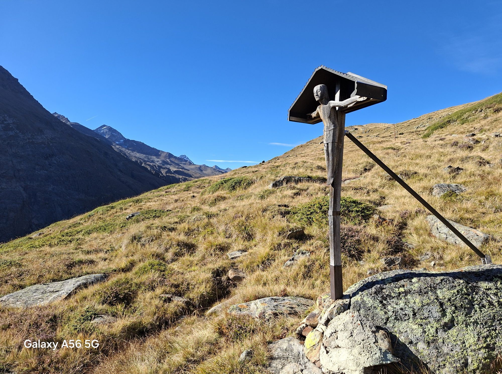
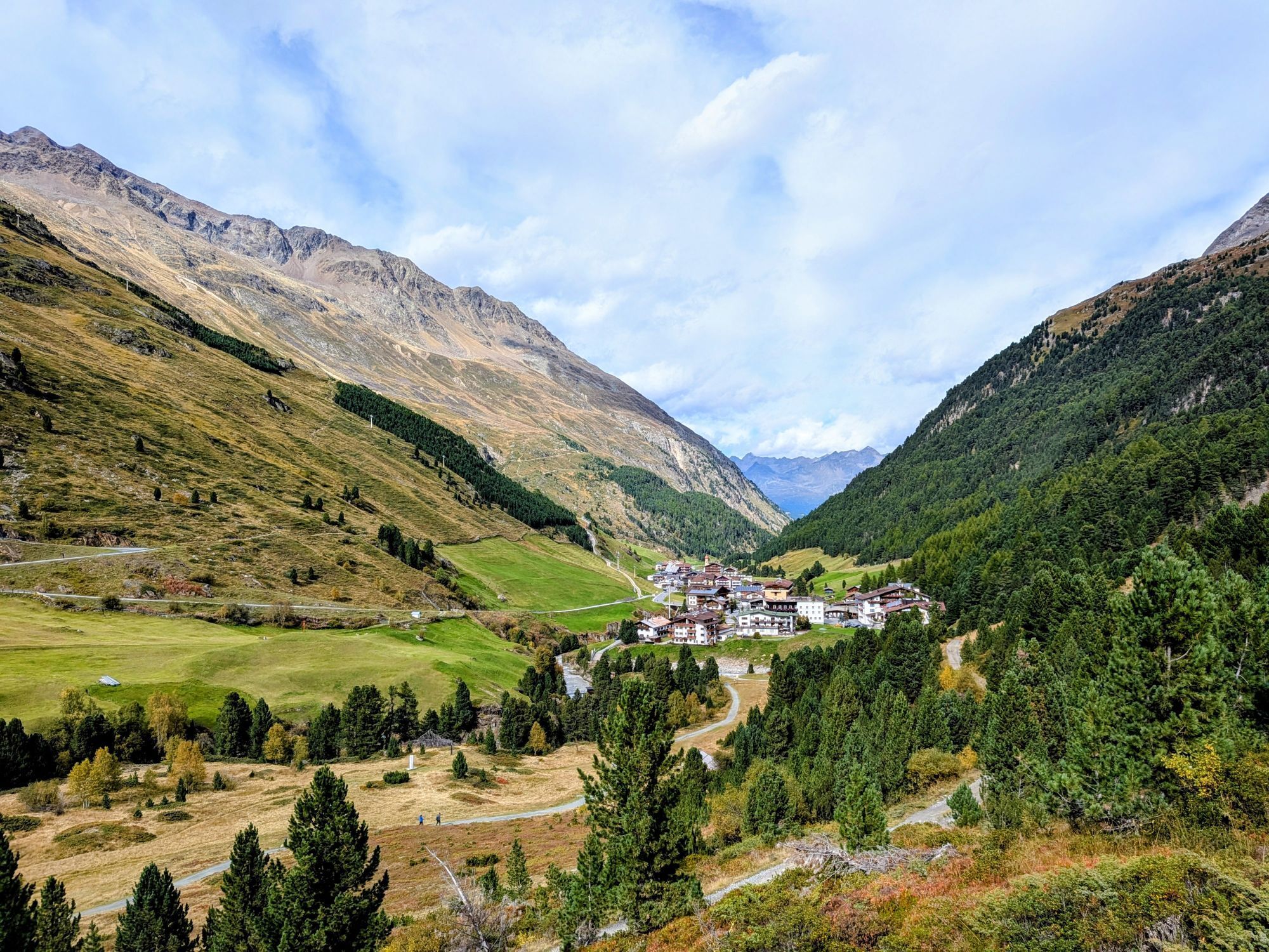
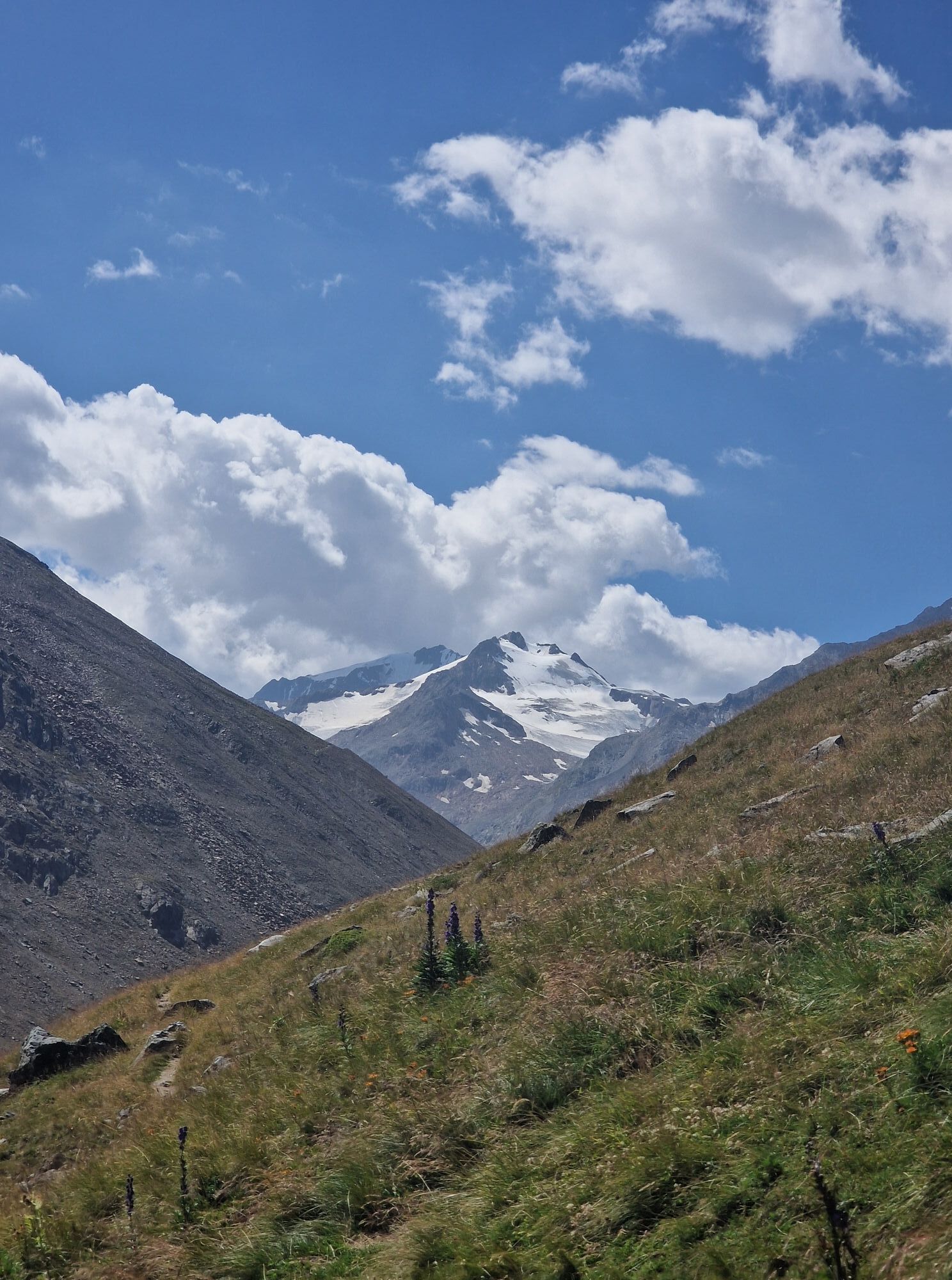
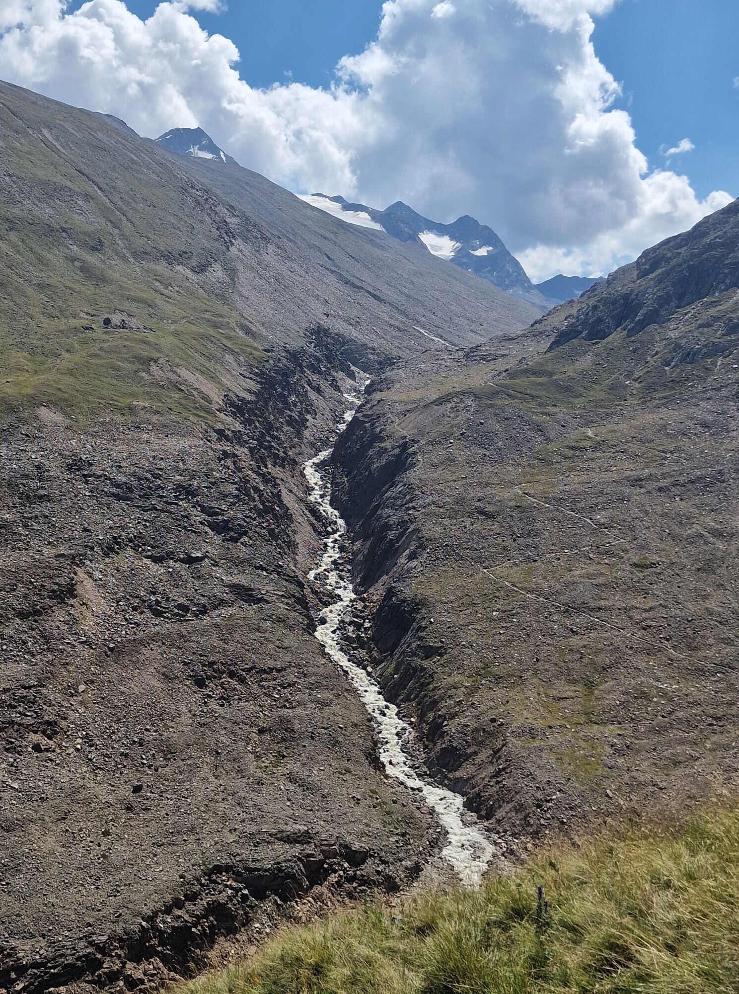
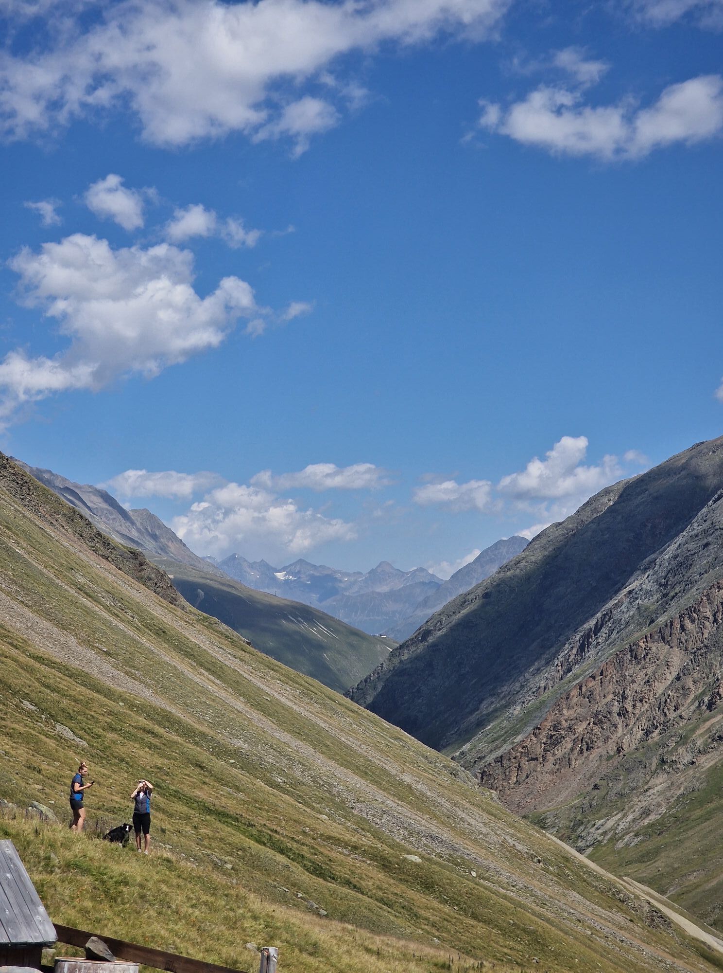
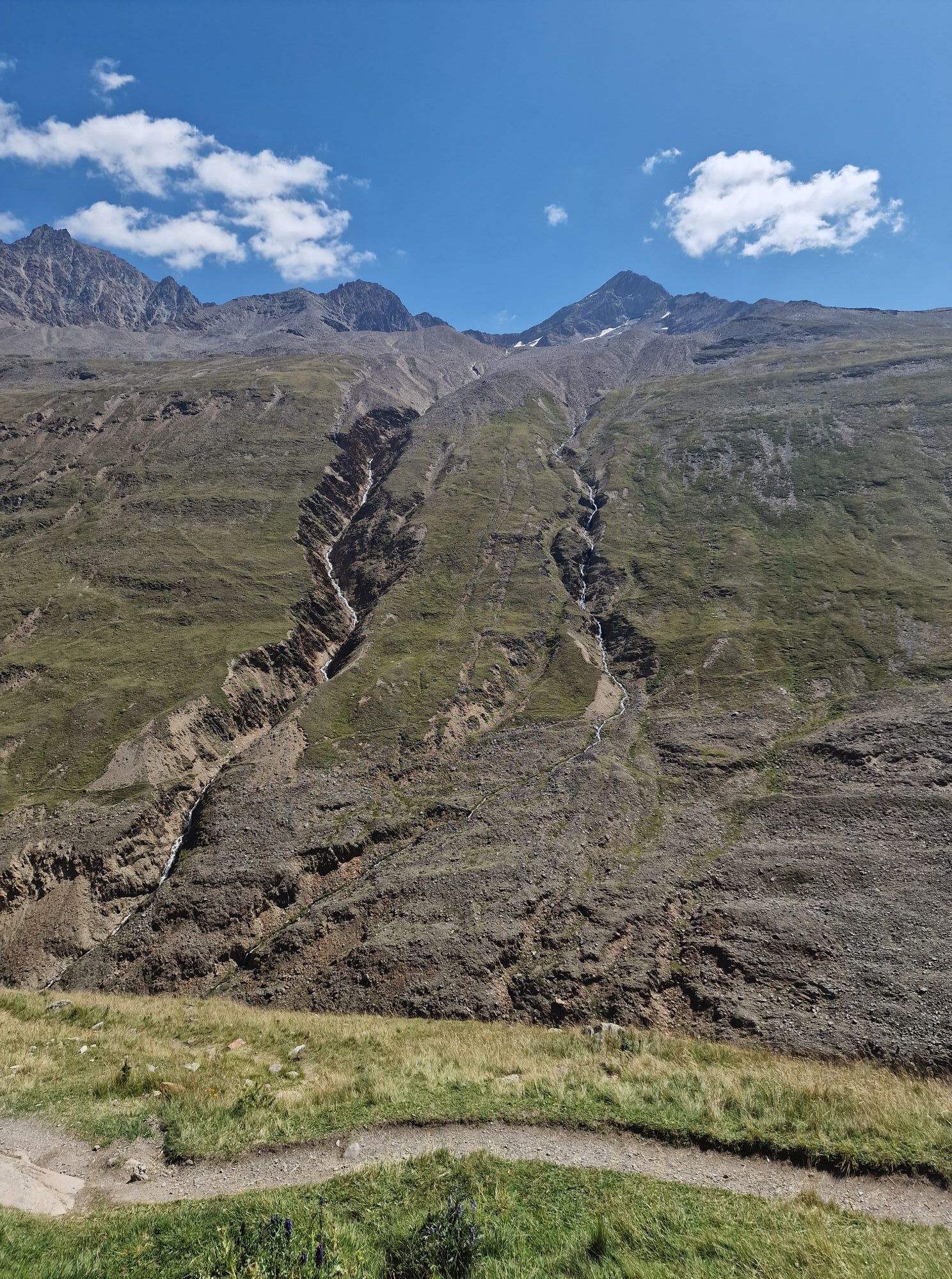
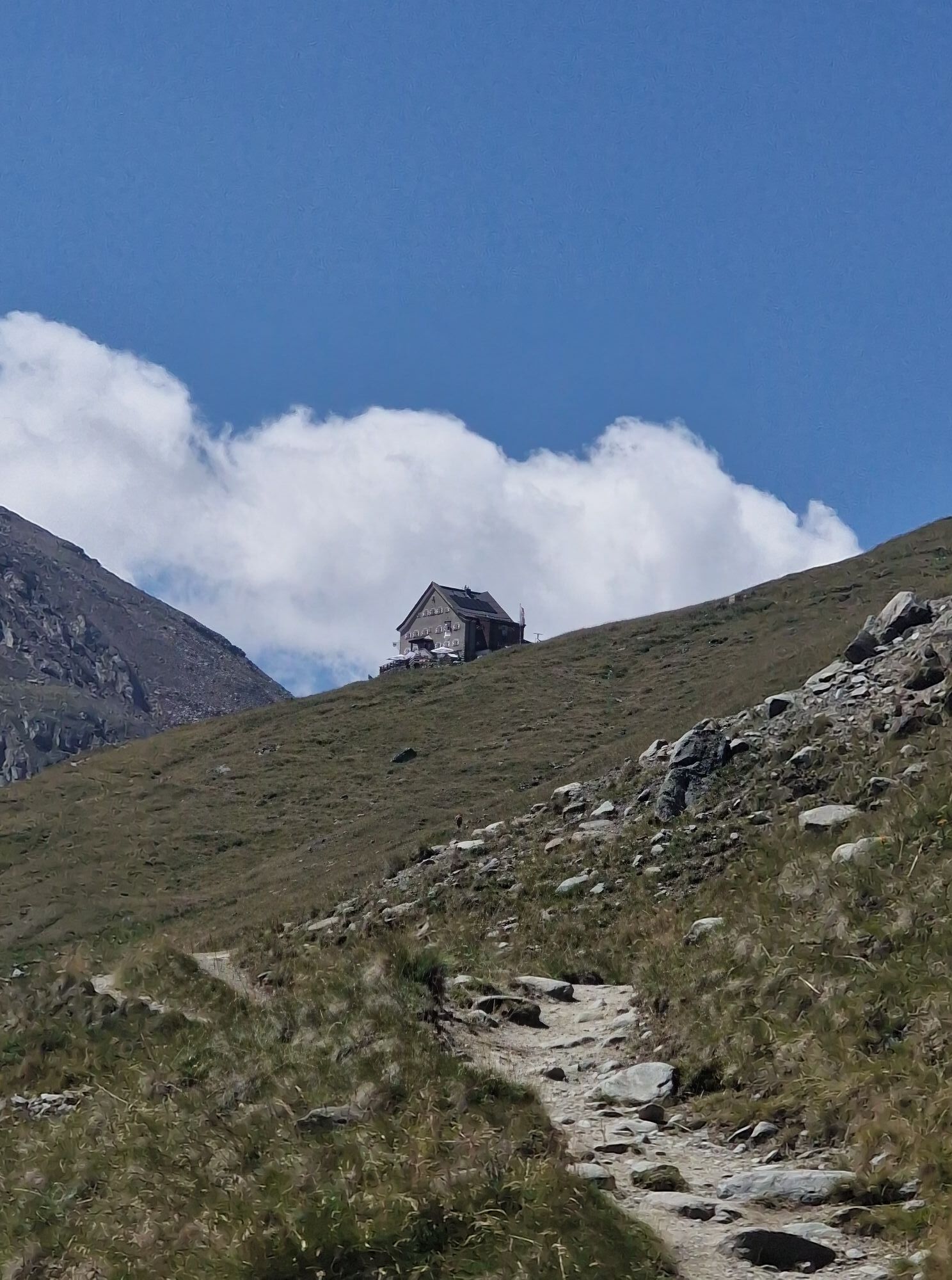
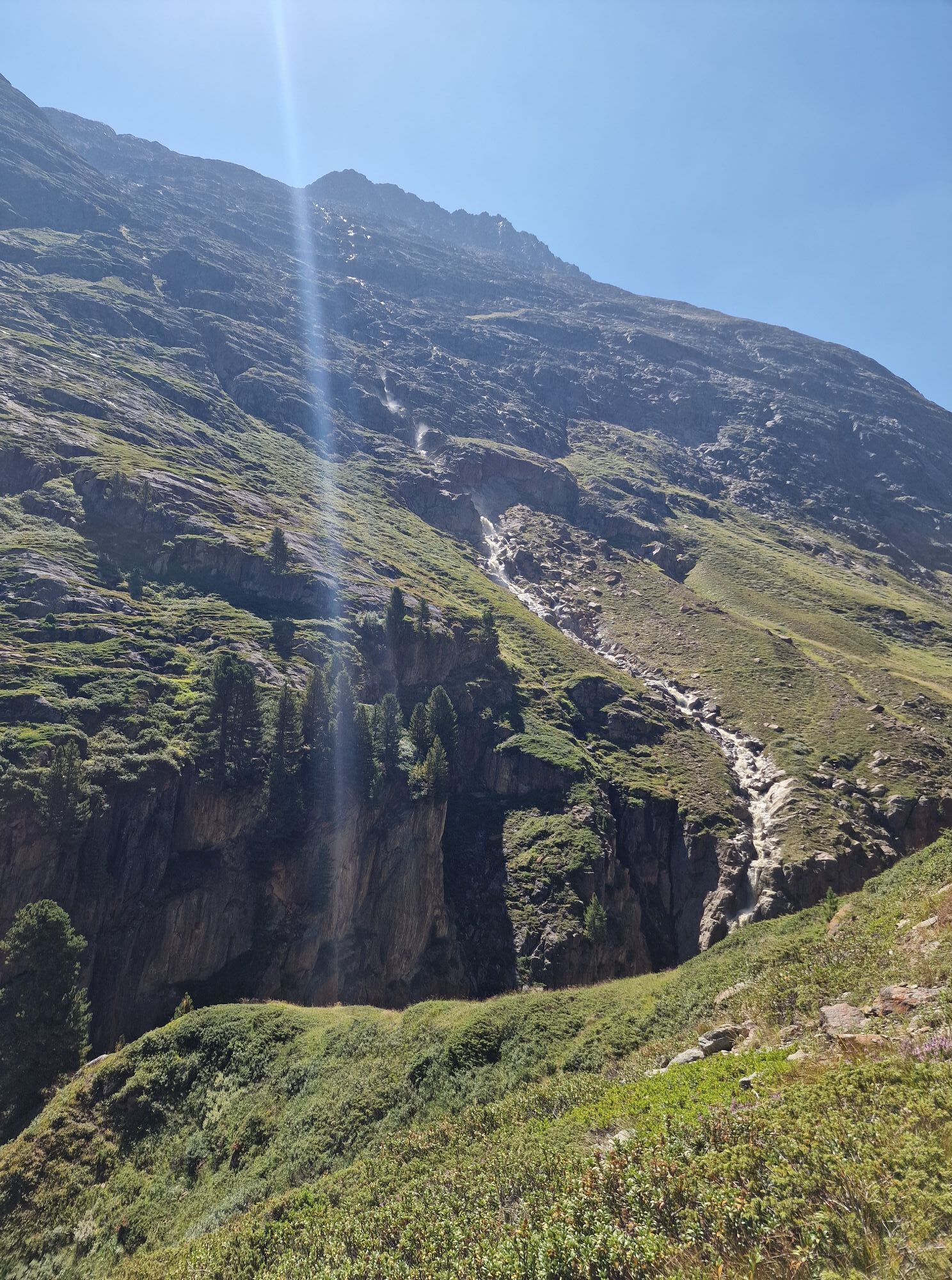
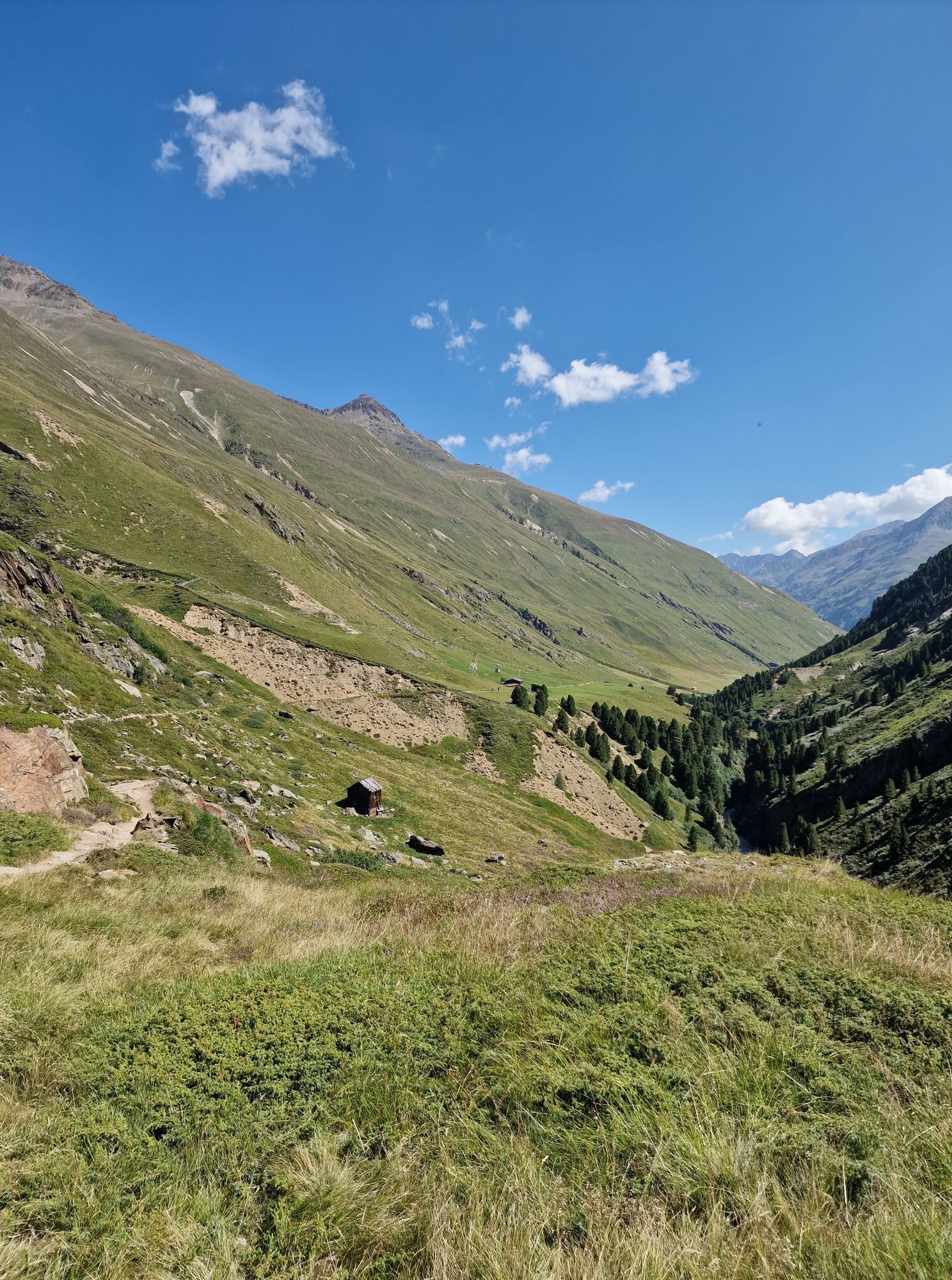
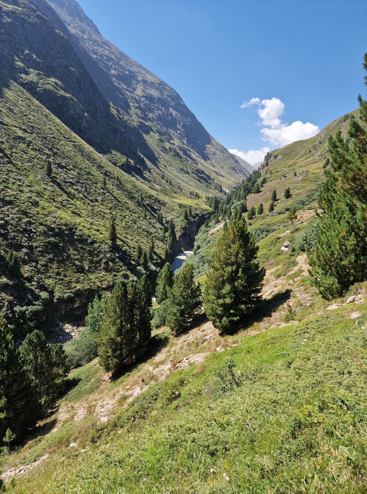
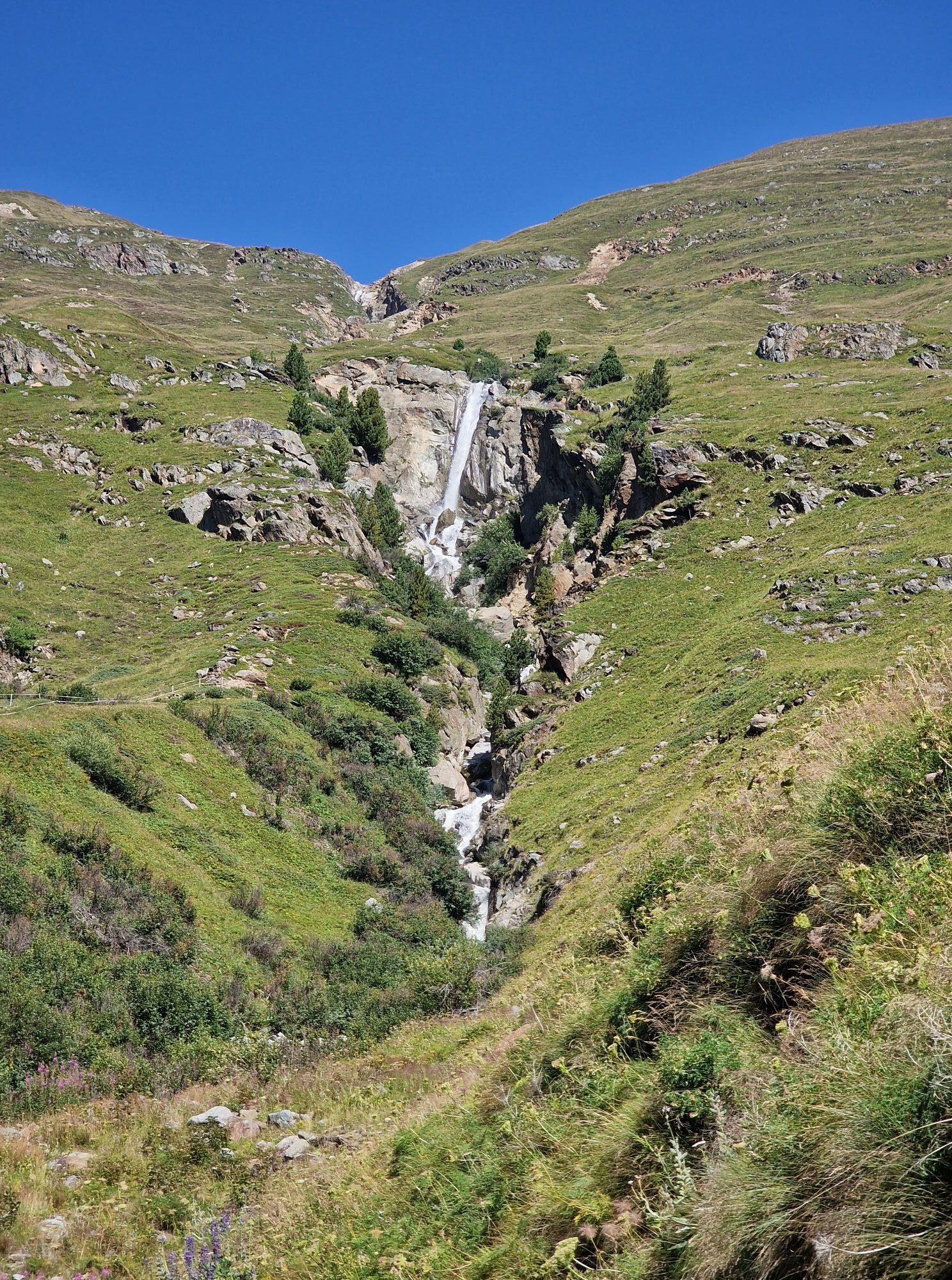
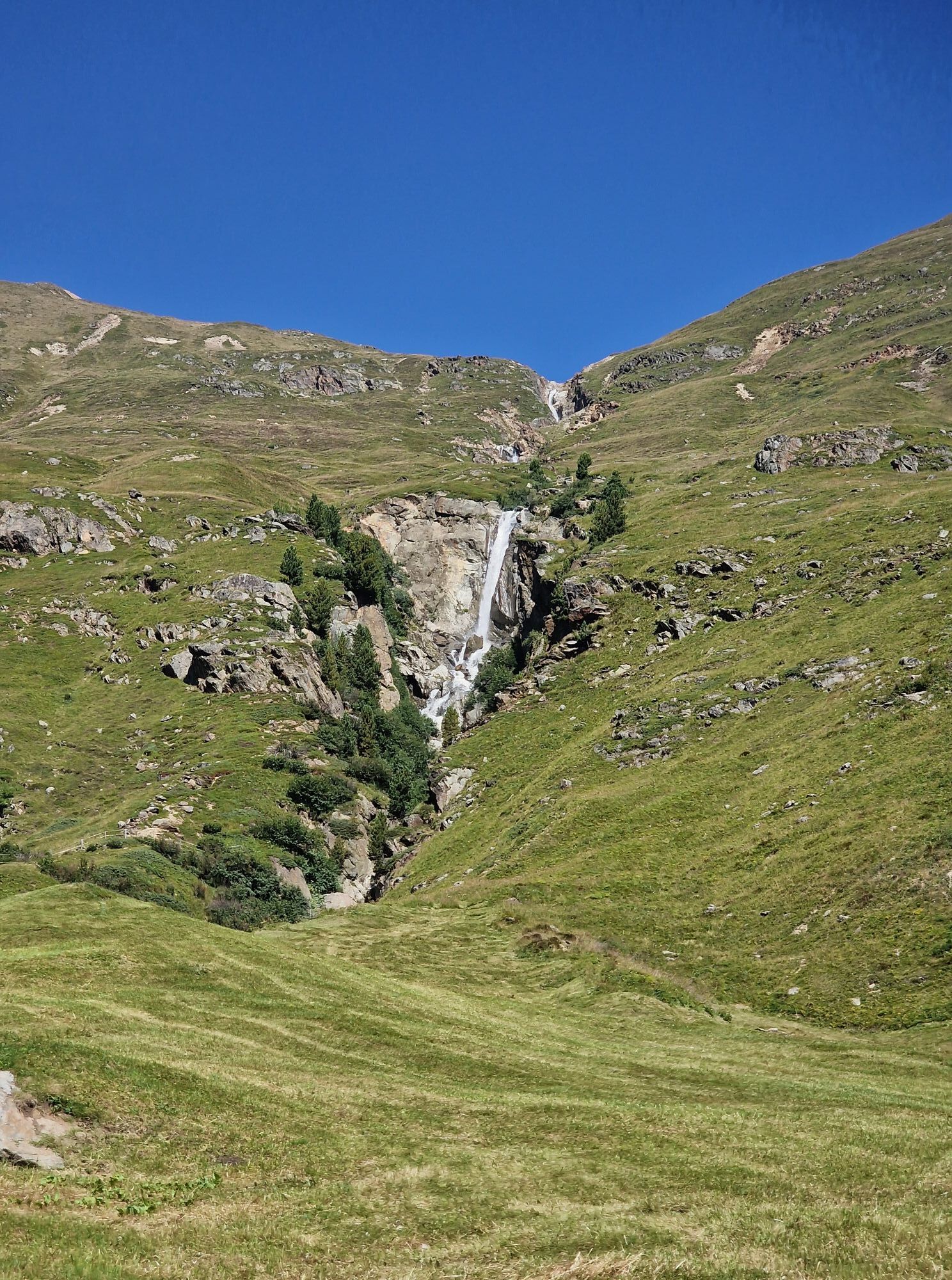
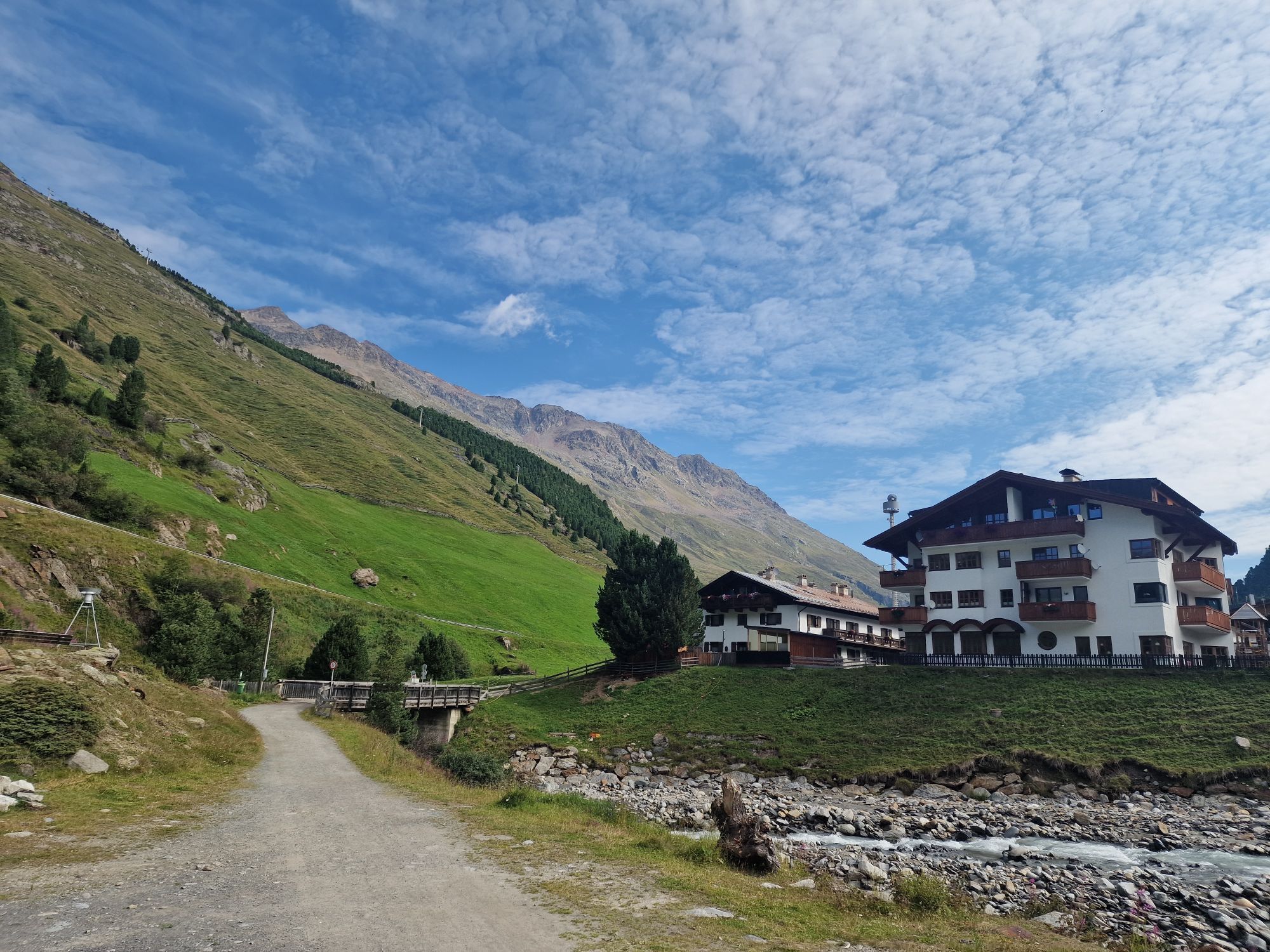
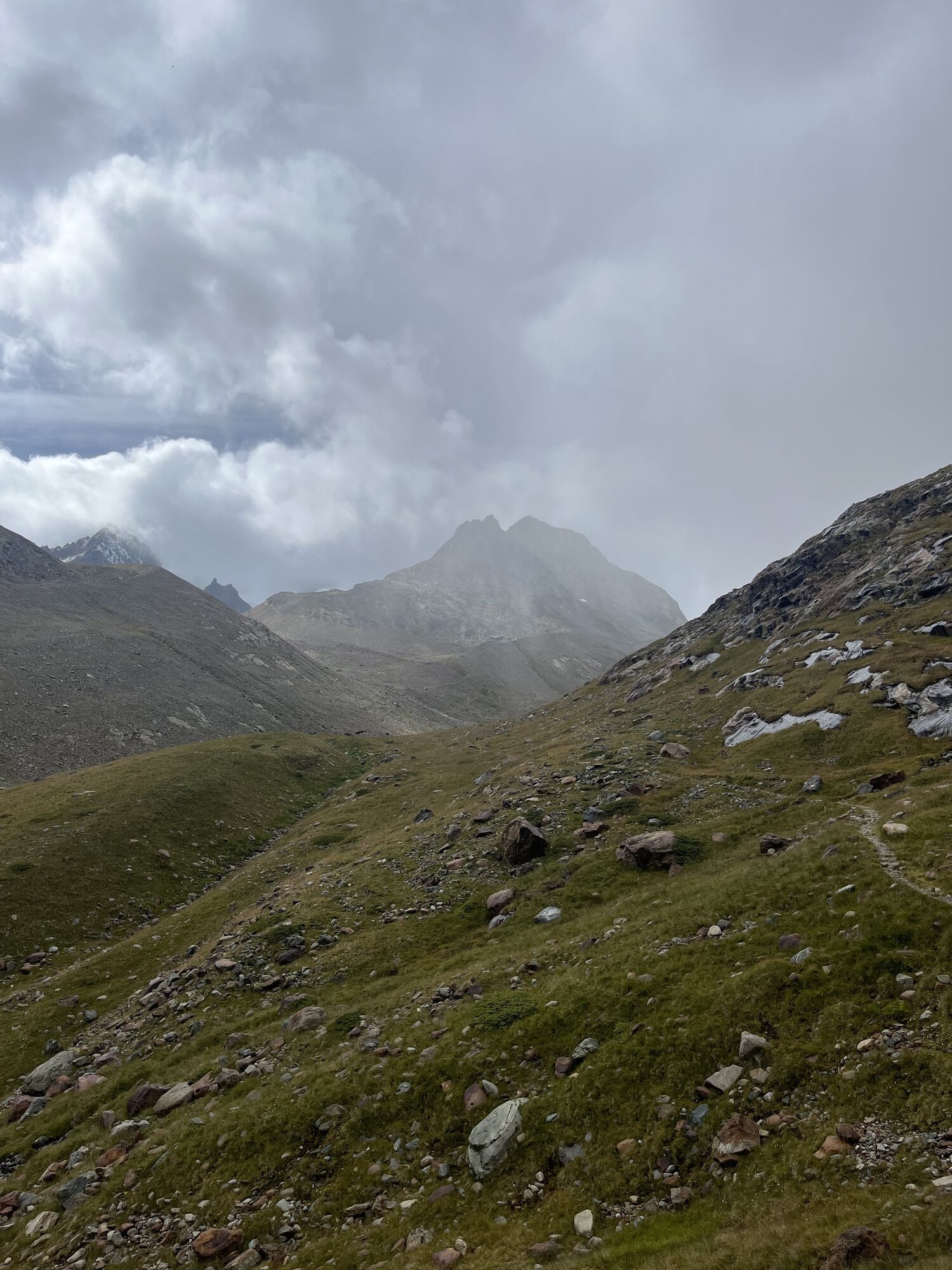
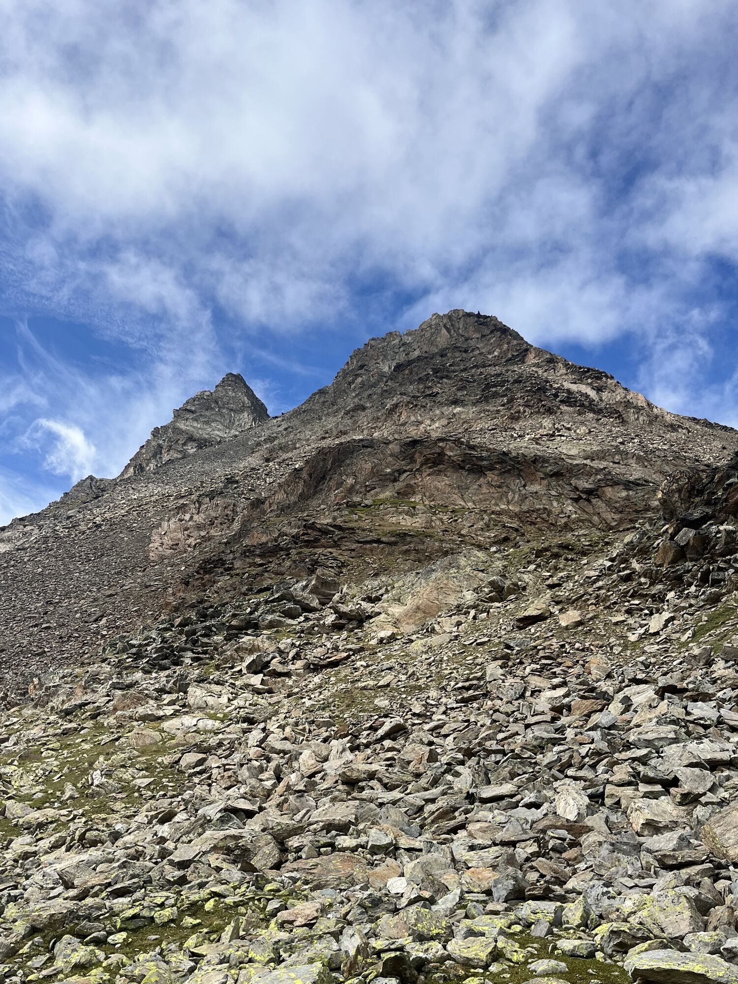
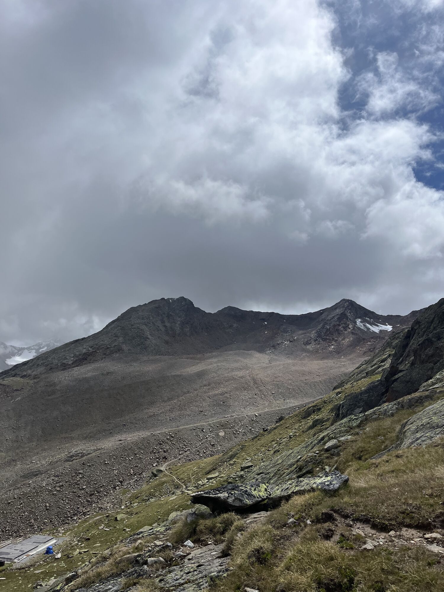
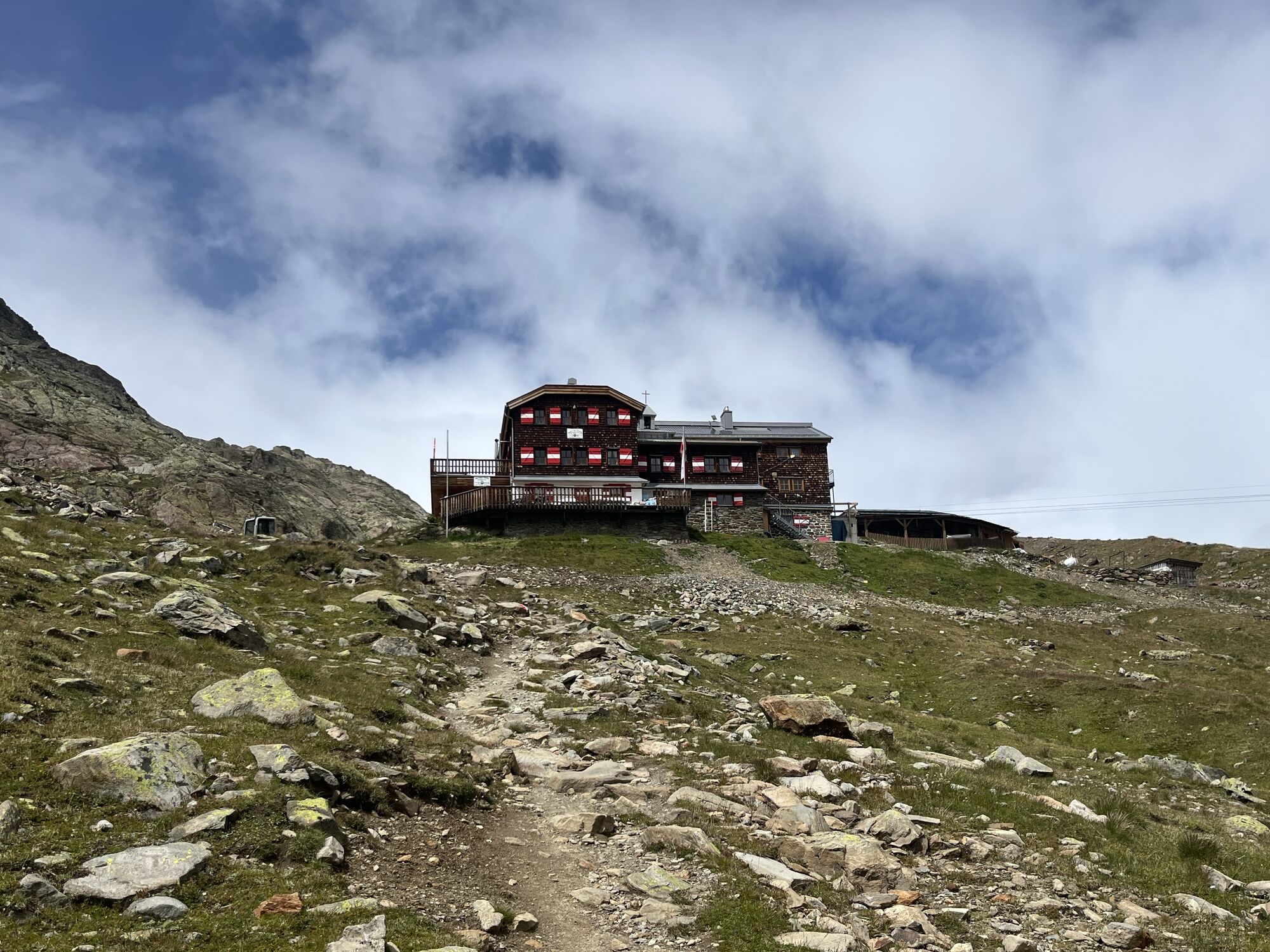
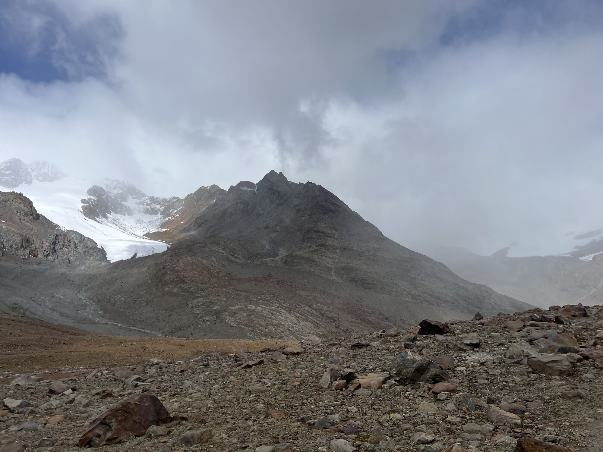
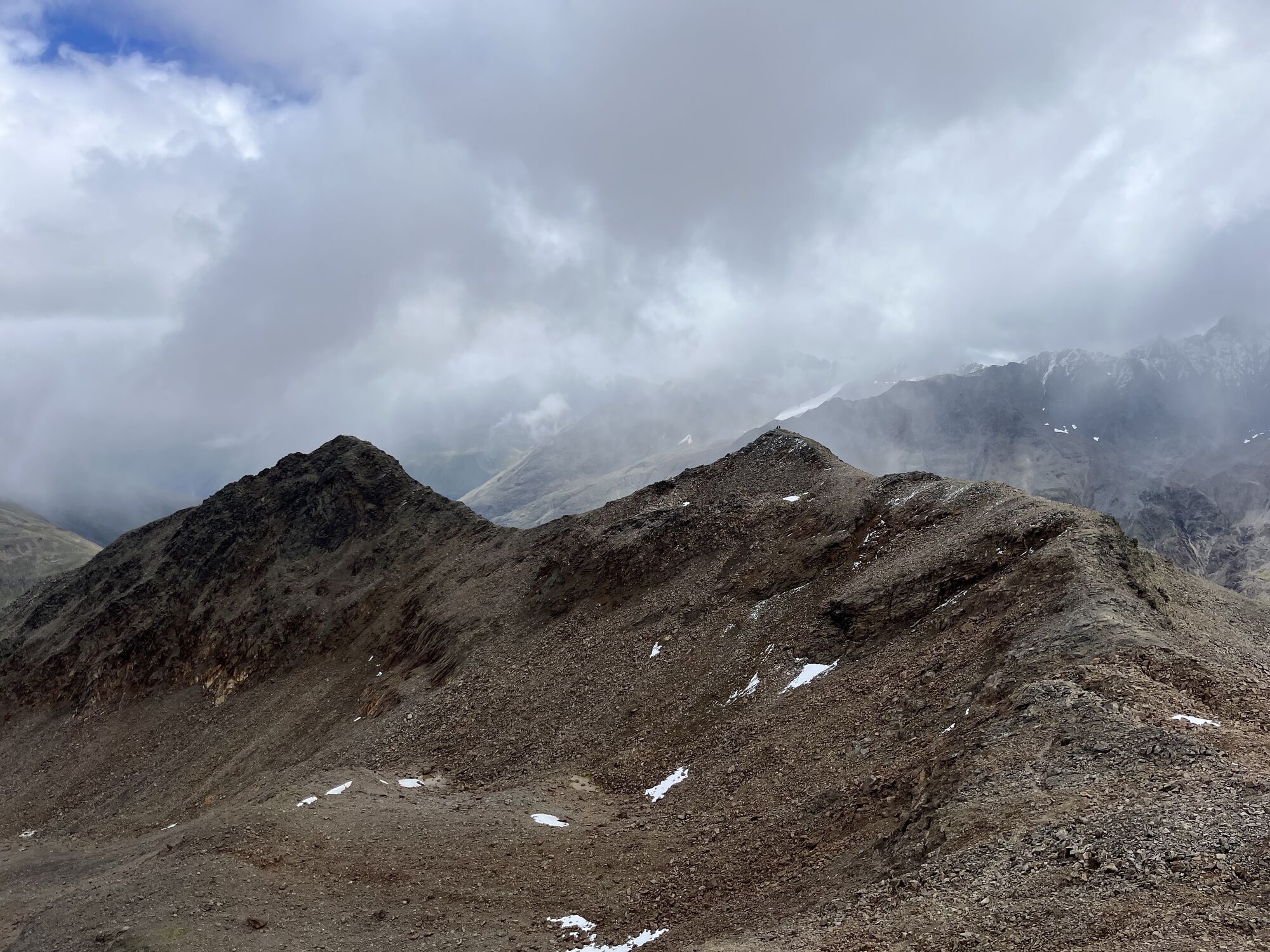
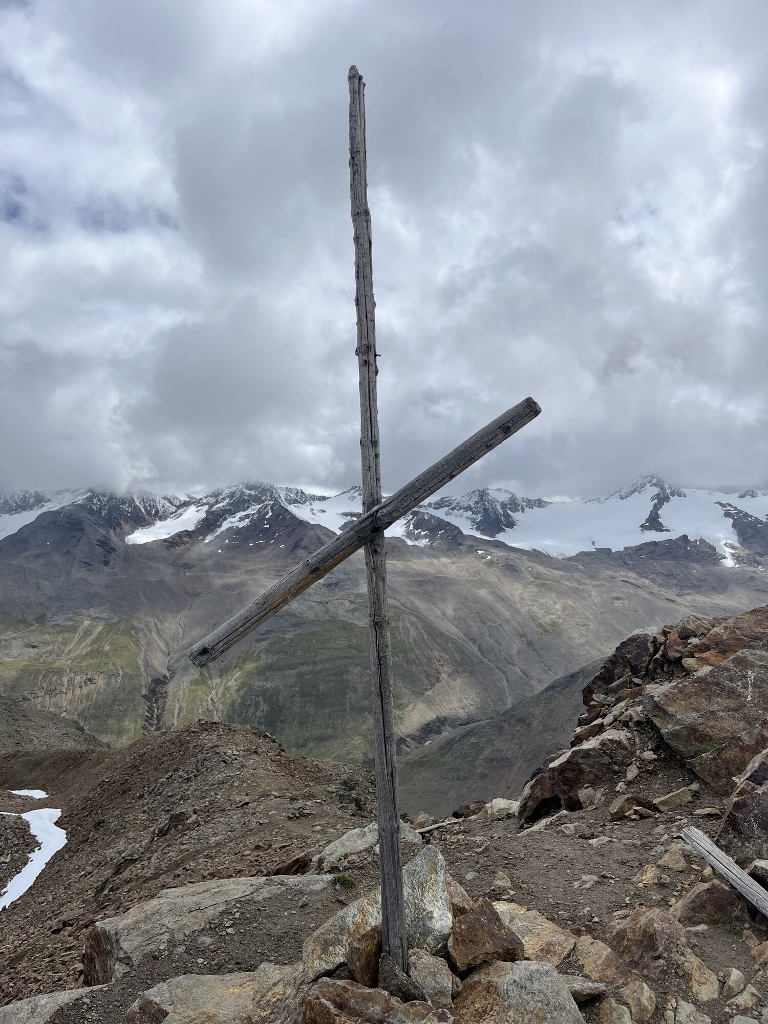
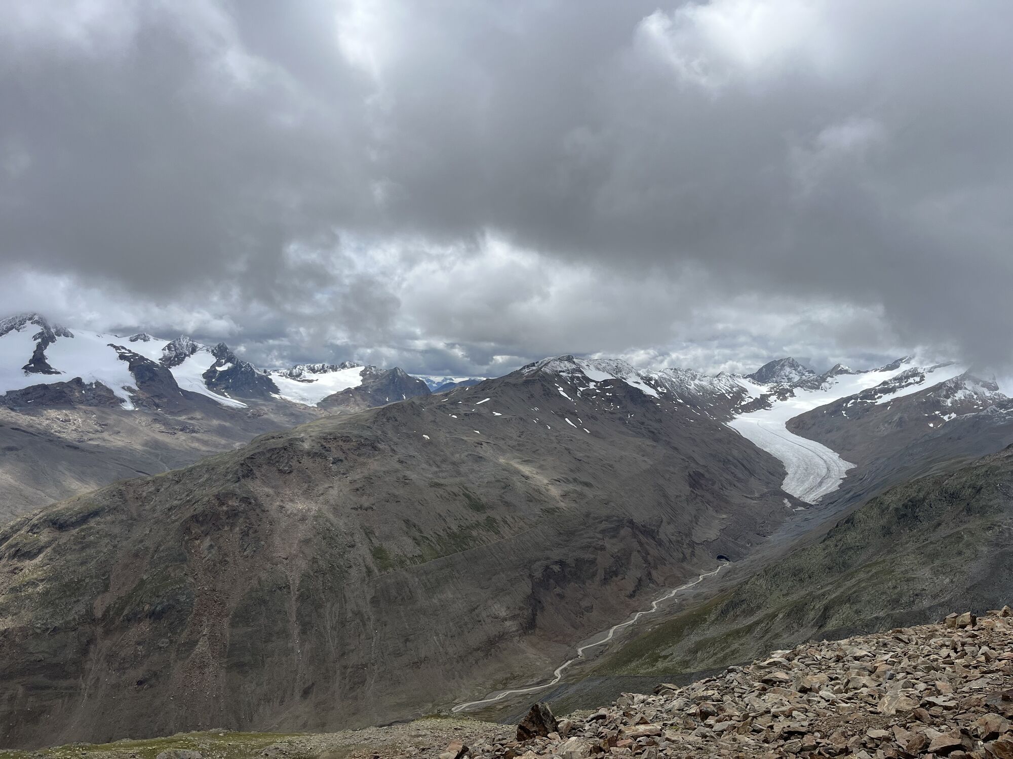
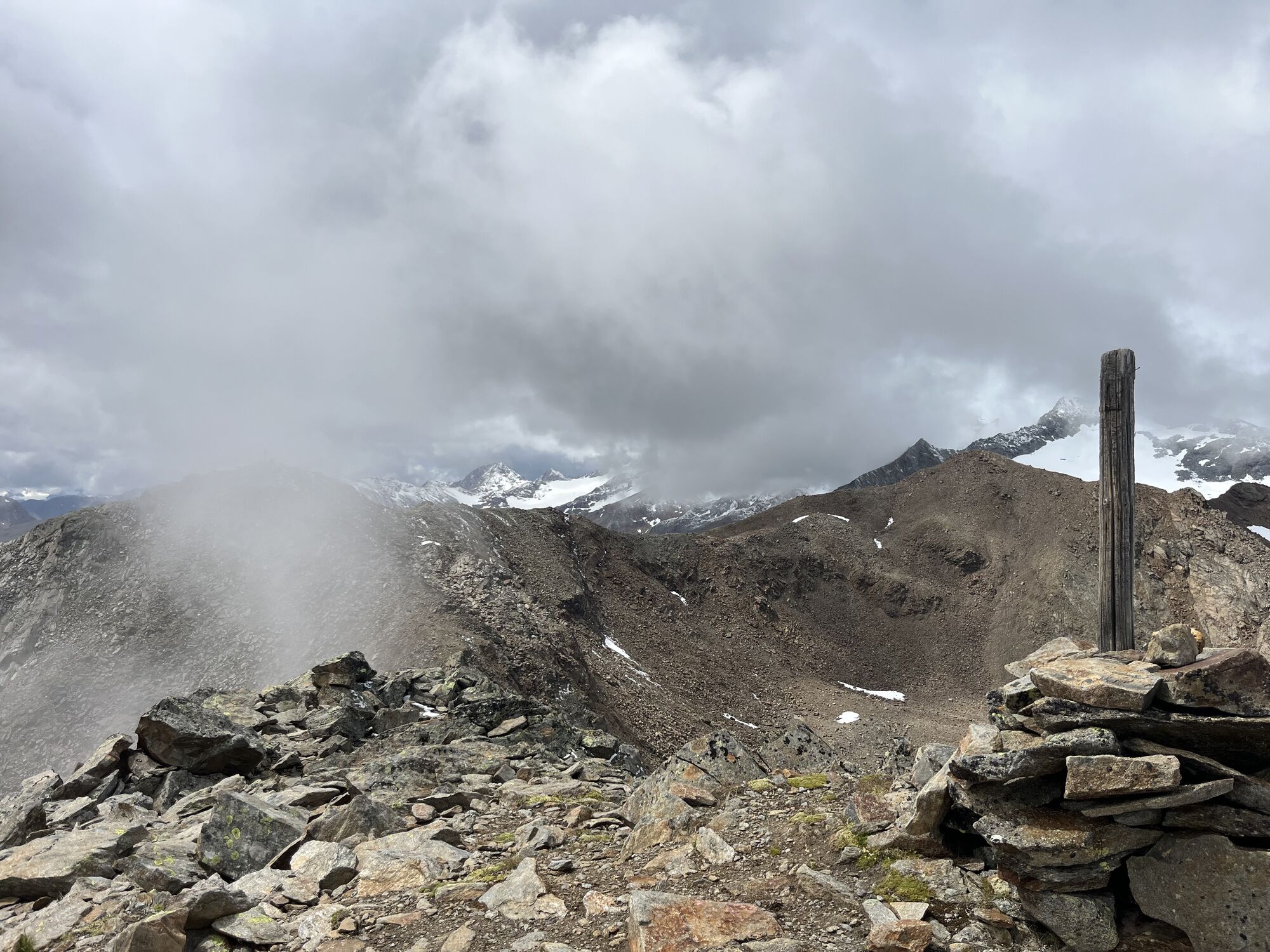
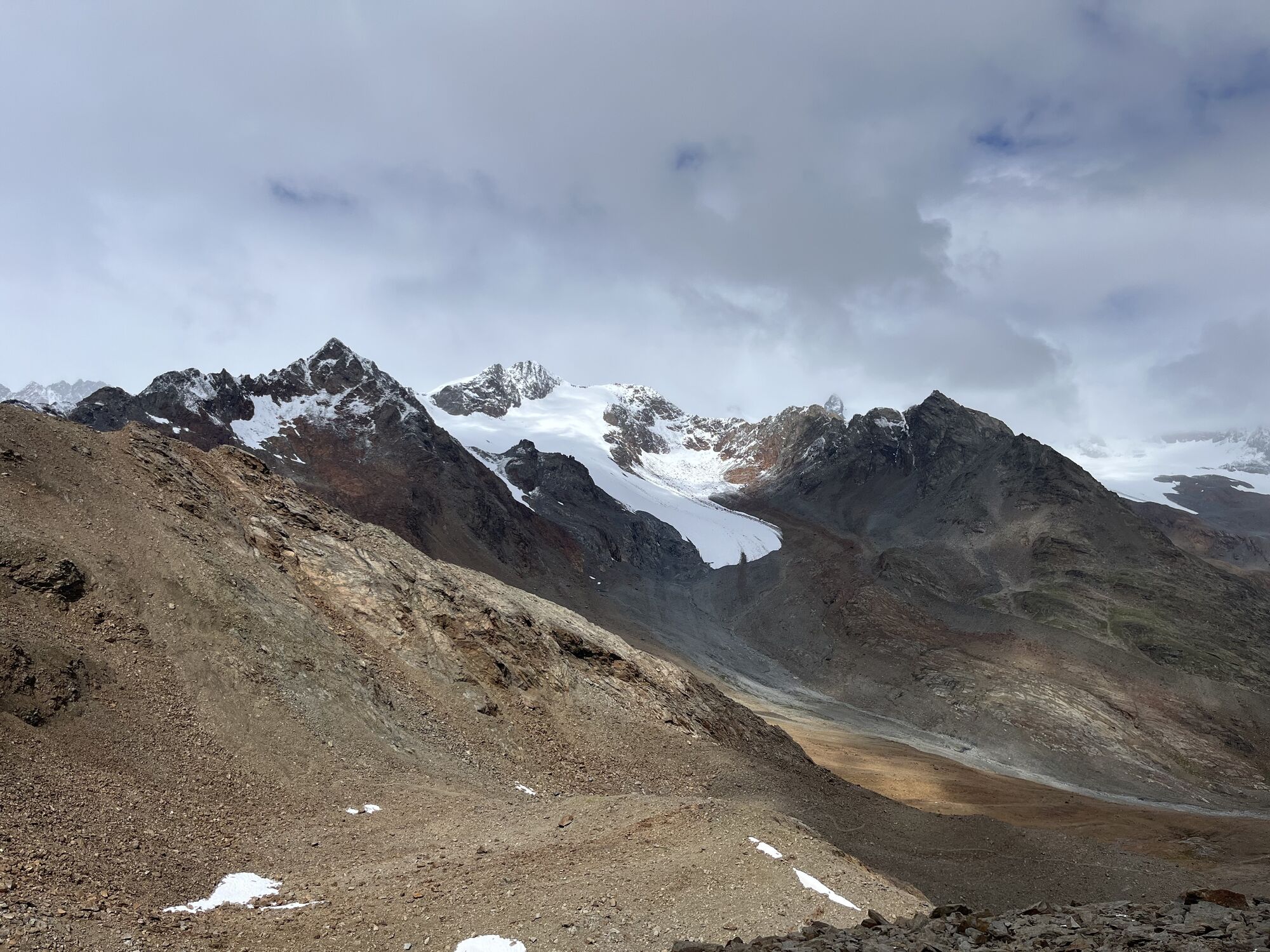
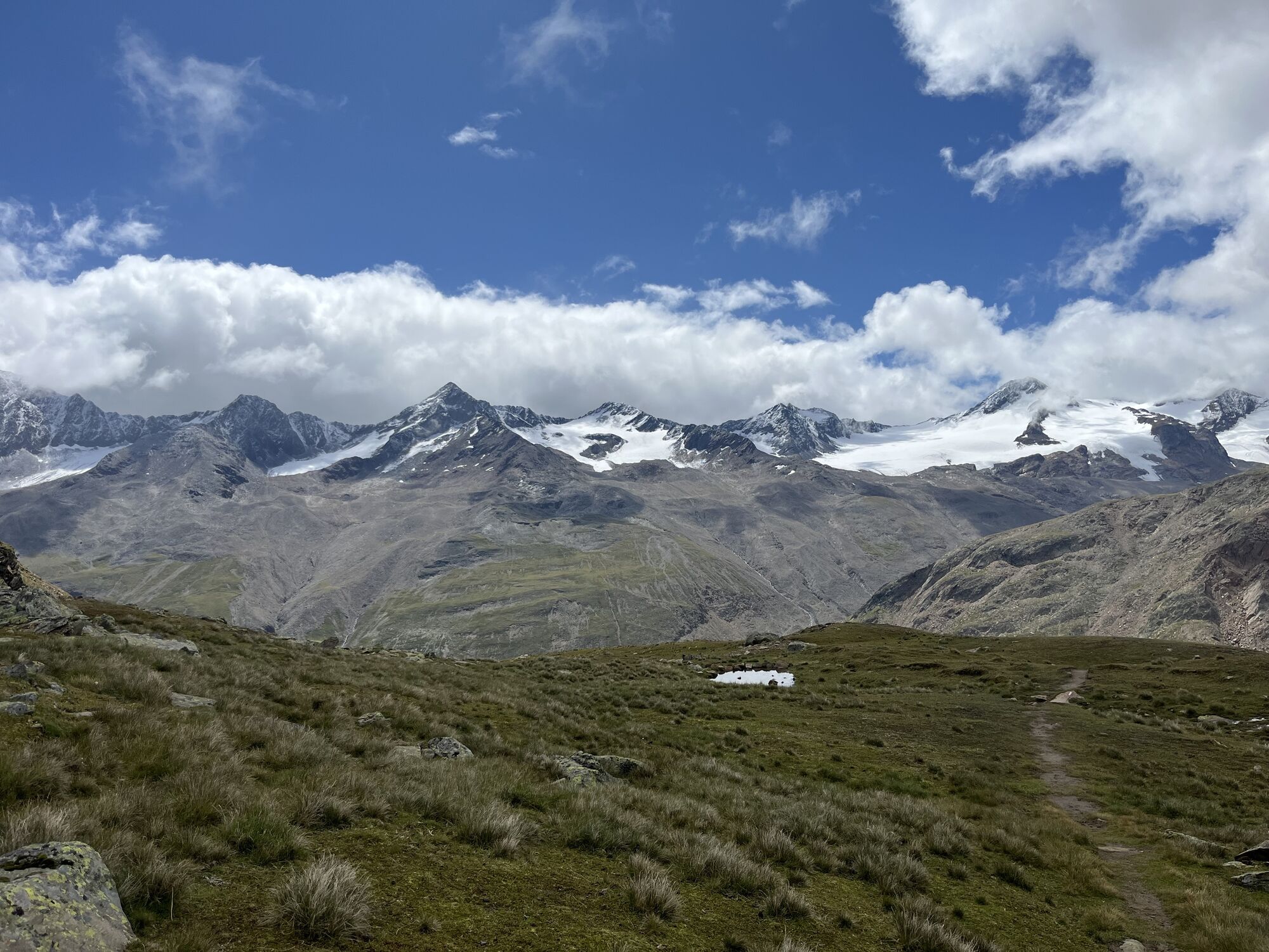
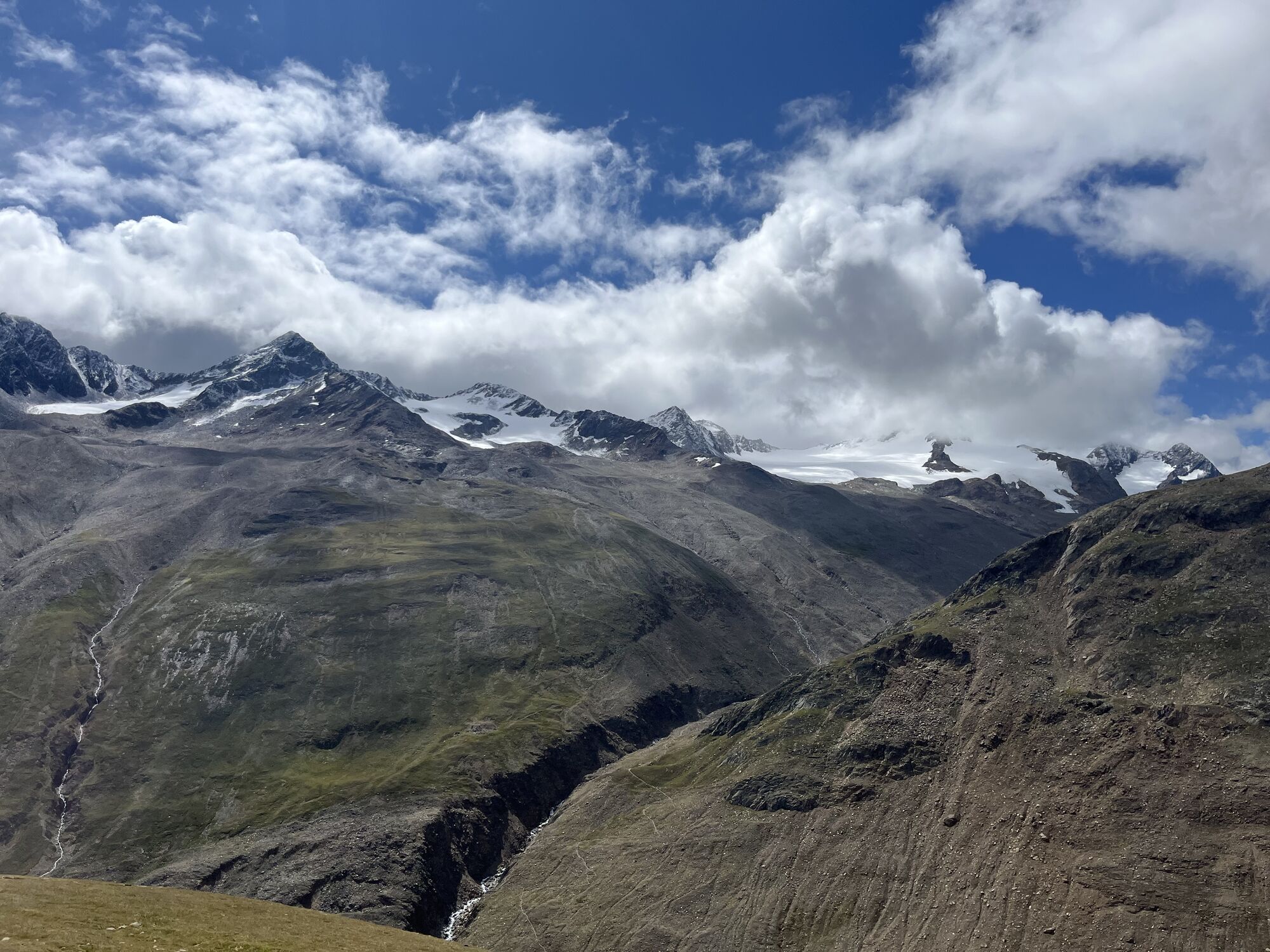
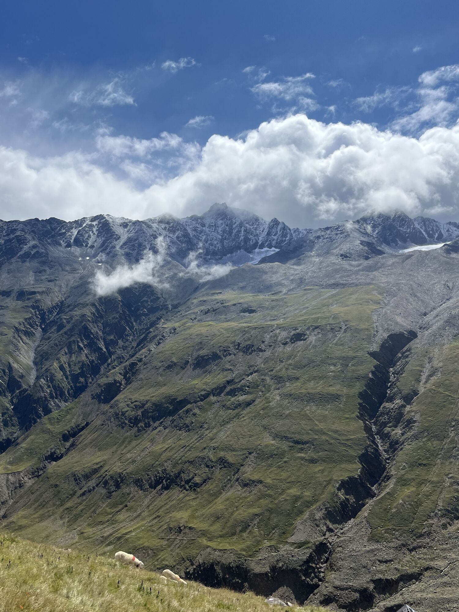
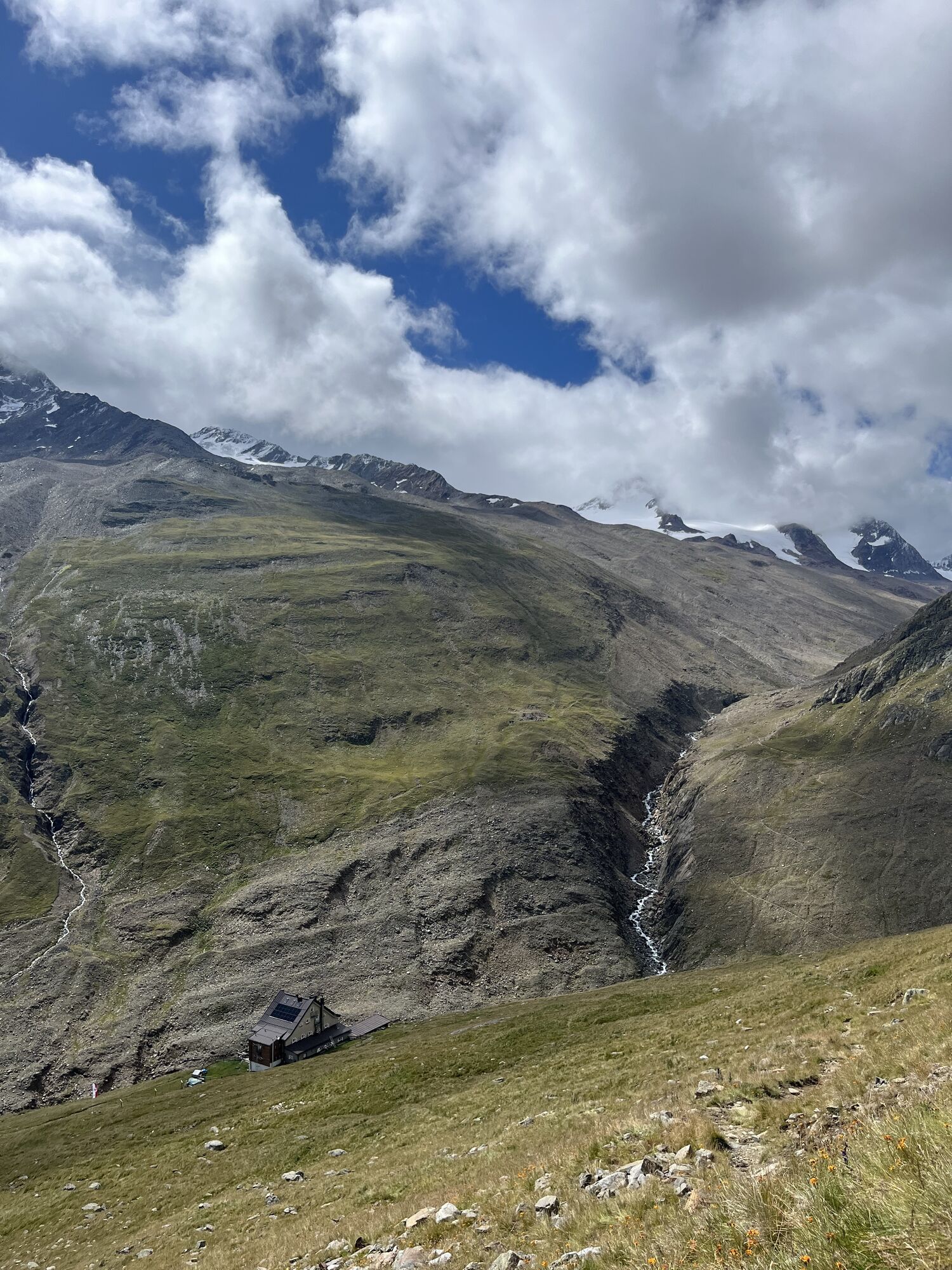
Trasa
Pfarrkirche St. Jakob
(1 895 m)
Miesto uctievania
0,1 km
Theresienkapelle
(2 010 m)
Miesto uctievania
3,3 km
Vordere Guslarspitze
(3 118 m)
Summit
15,1 km
Mittlere Guslarspitze
(3 128 m)
Summit
15,5 km
Hintere Guslarspitze
(3 147 m)
Summit
16,3 km
Marienkapelle Vent
(1 920 m)
Miesto uctievania
33,8 km
Pfarrkirche St. Jakob
(1 895 m)
Miesto uctievania
34,7 km
Trasa
Die Guslarspitzen und Hintergraslspitzen
ťažké
Turistika
34,86
km
Pfarrkirche St. Jakob
(1 895 m)
Miesto uctievania
0,1 km
Vent
(1 883 m)
Dedina
0,4 km
Ochsenkopflift
(1 903 m)
Stanica gondoly
1,1 km
Rofen
(2 018 m)
Zúčtovanie
3,3 km
Gasthaus Rofenhof
(2 015 m)
Reštaurácia
3,3 km
Theresienkapelle
(2 010 m)
Miesto uctievania
3,3 km
Talstation Materialseilbahn Vernagt Hütte
(2 095 m)
Stanica gondoly
5,4 km
Hochjoch-Hospiz
(2 409 m)
Úkryt
10,9 km
Vordere Guslarspitze
(3 118 m)
Summit
15,1 km
Mittlere Guslarspitze
(3 128 m)
Summit
15,5 km
Hintere Guslarspitze
(3 147 m)
Summit
16,3 km
Vernagthütte
(2 757 m)
Úkryt
19,4 km
Vernagtegg
(2 513 m)
Koridor/terén
26,5 km
Gasthaus Rofenhof
(2 015 m)
Reštaurácia
31,8 km
Theresienkapelle
(2 010 m)
Miesto uctievania
31,9 km
Rofen
(2 018 m)
Zúčtovanie
31,9 km
Talstation Materialseilbahn Breslauer Hütte
(2 028 m)
Stanica gondoly
32,0 km
Marienkapelle Vent
(1 920 m)
Miesto uctievania
33,8 km
Vent
(1 883 m)
Dedina
34,3 km
Pfarrkirche St. Jakob
(1 895 m)
Miesto uctievania
34,7 km

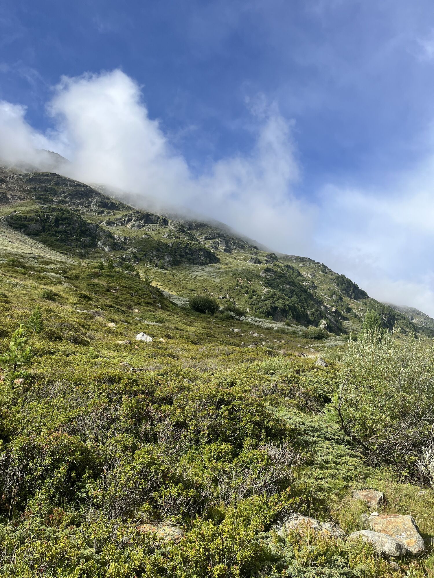
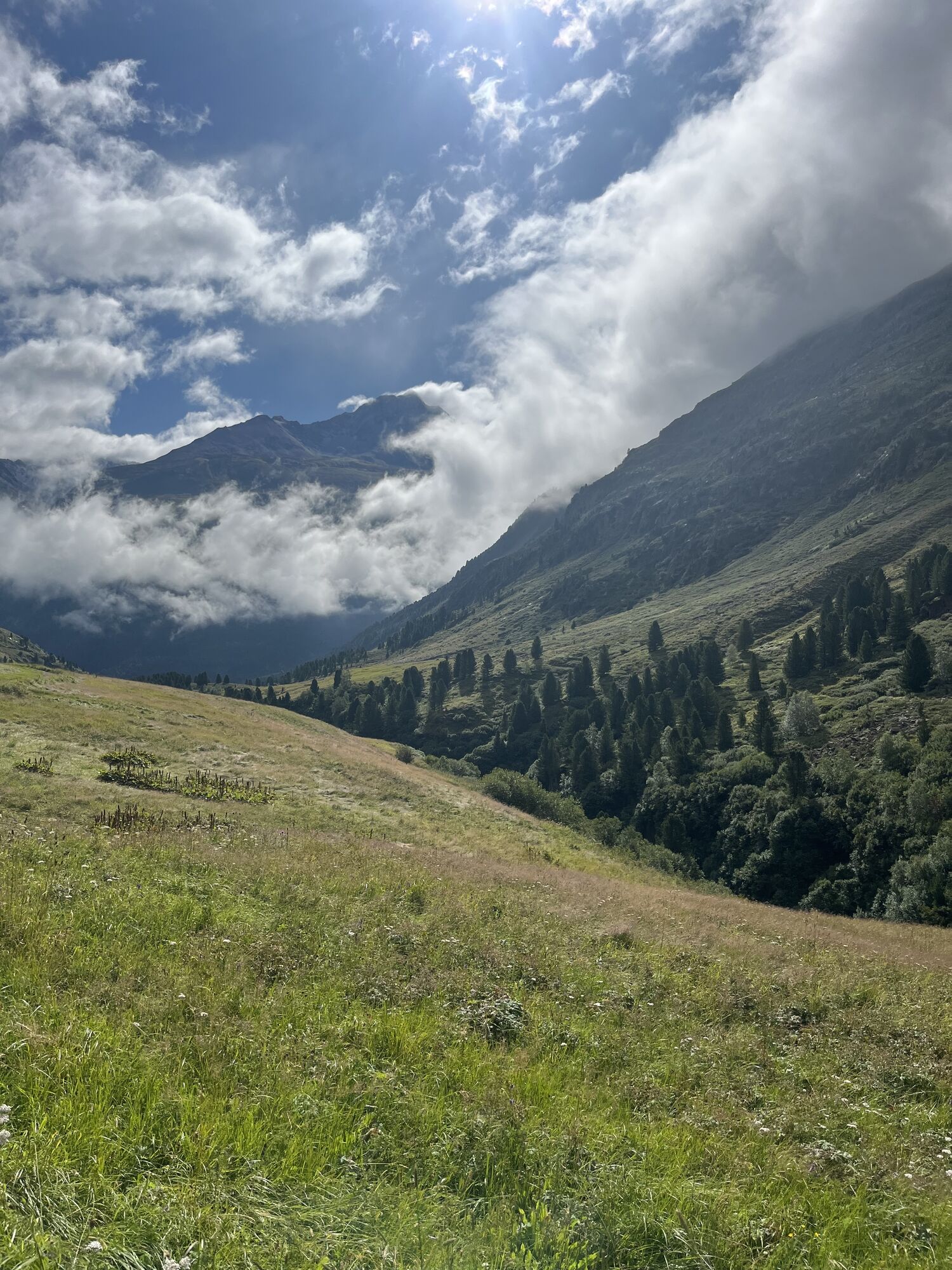
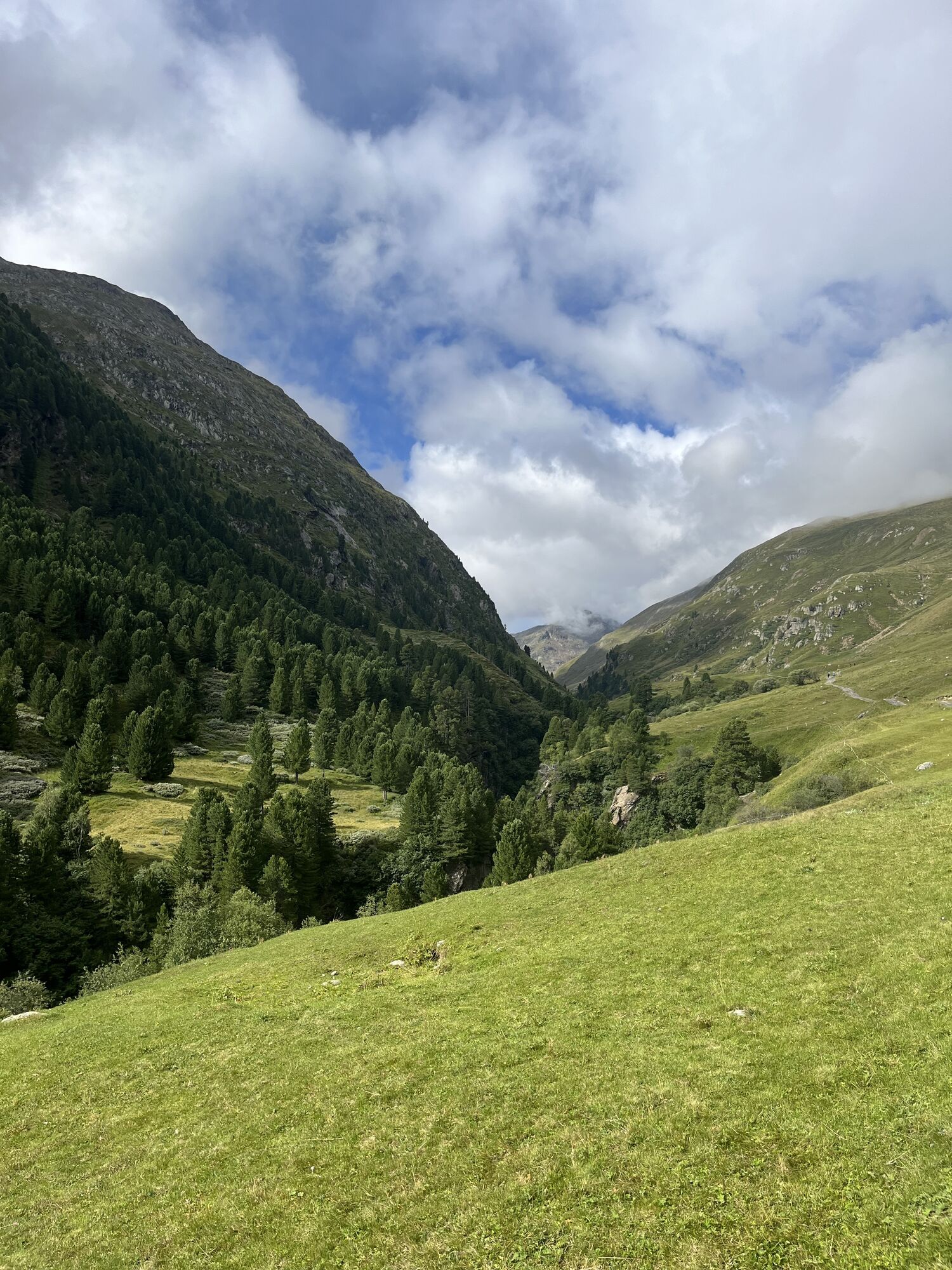
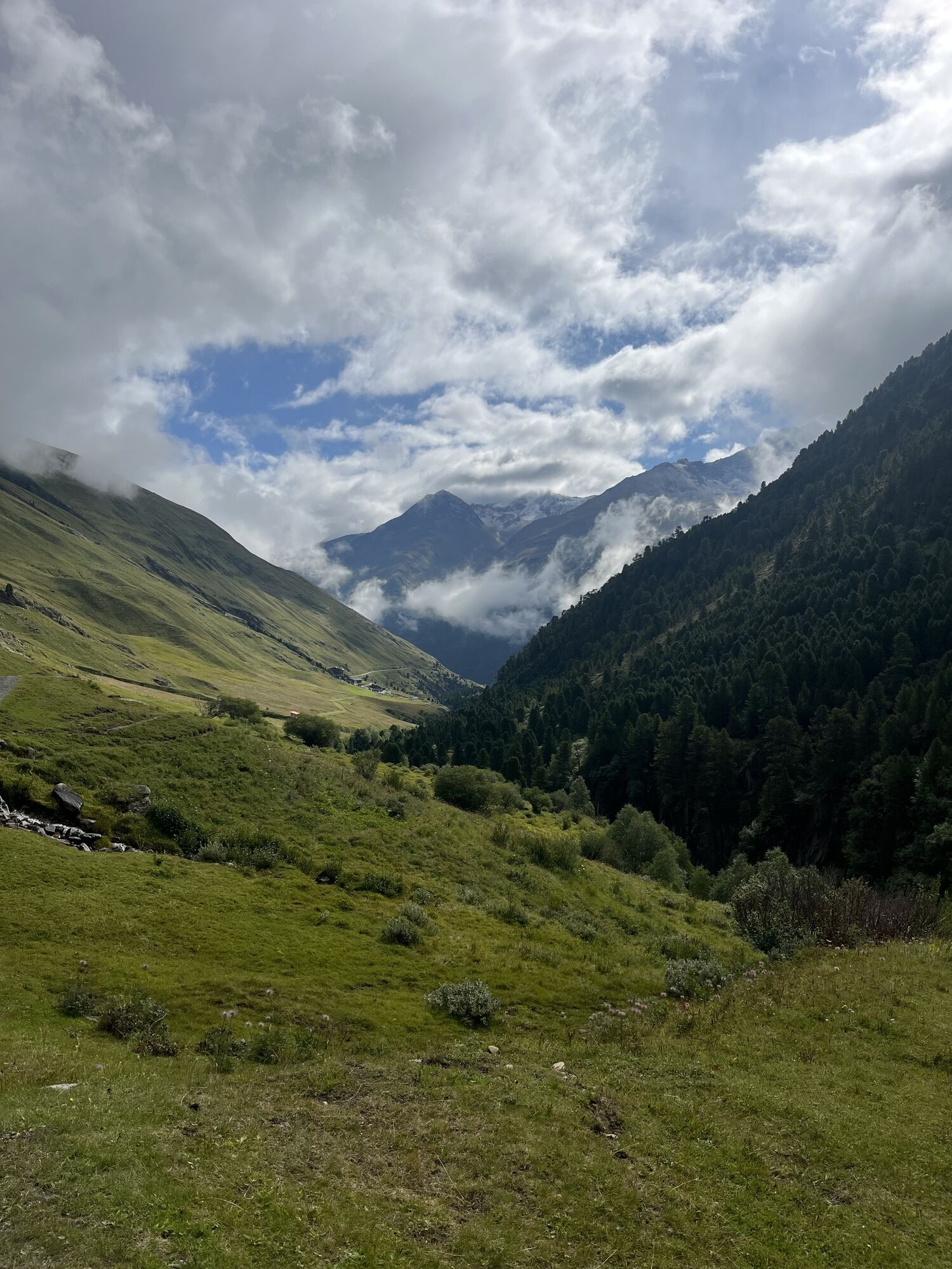
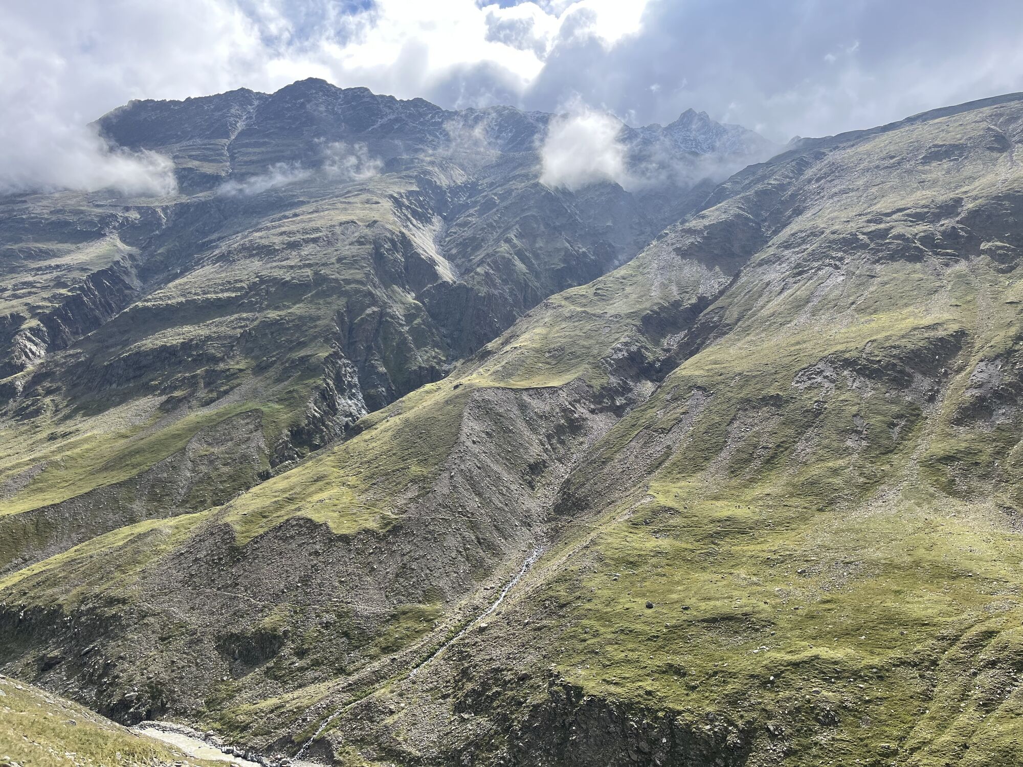
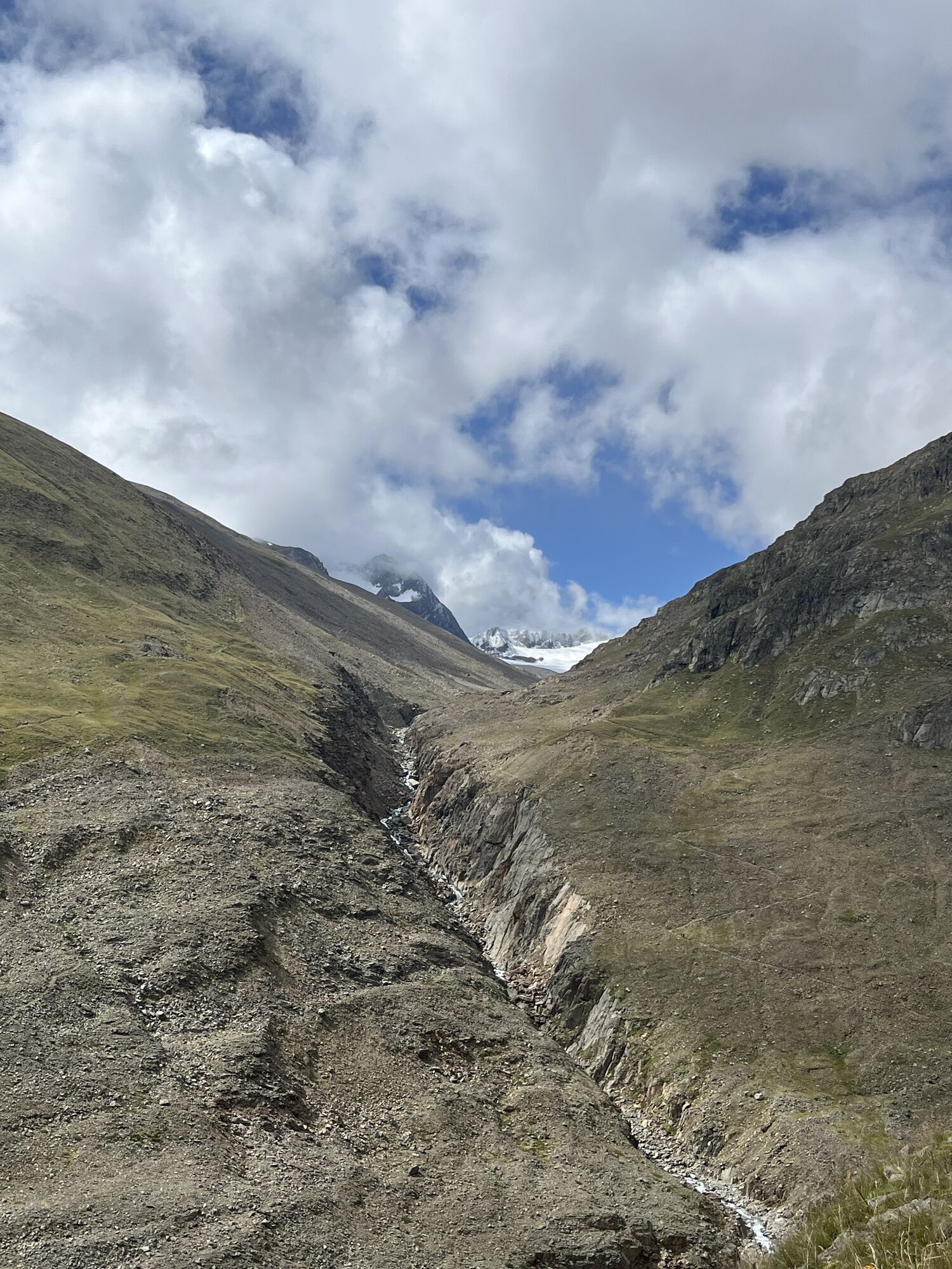
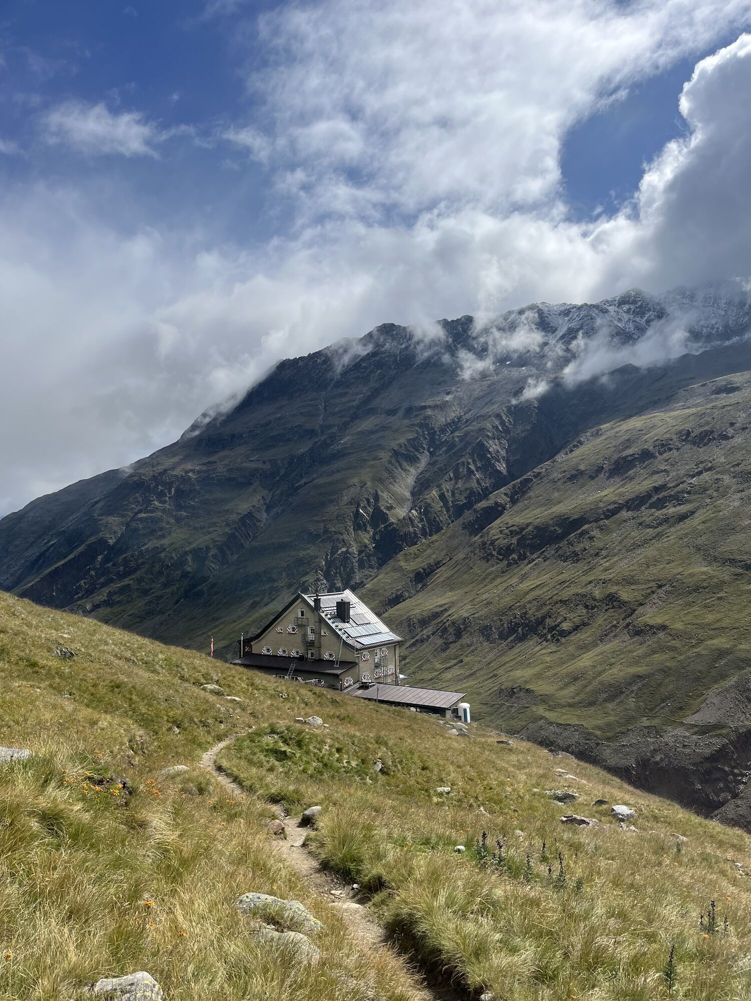
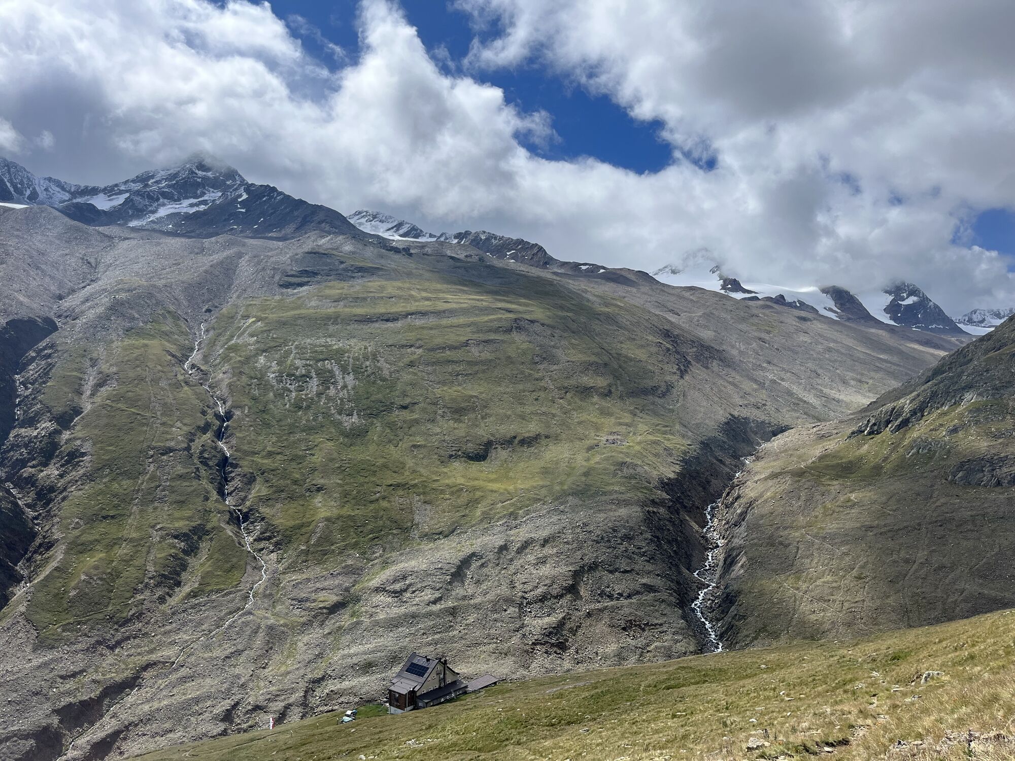
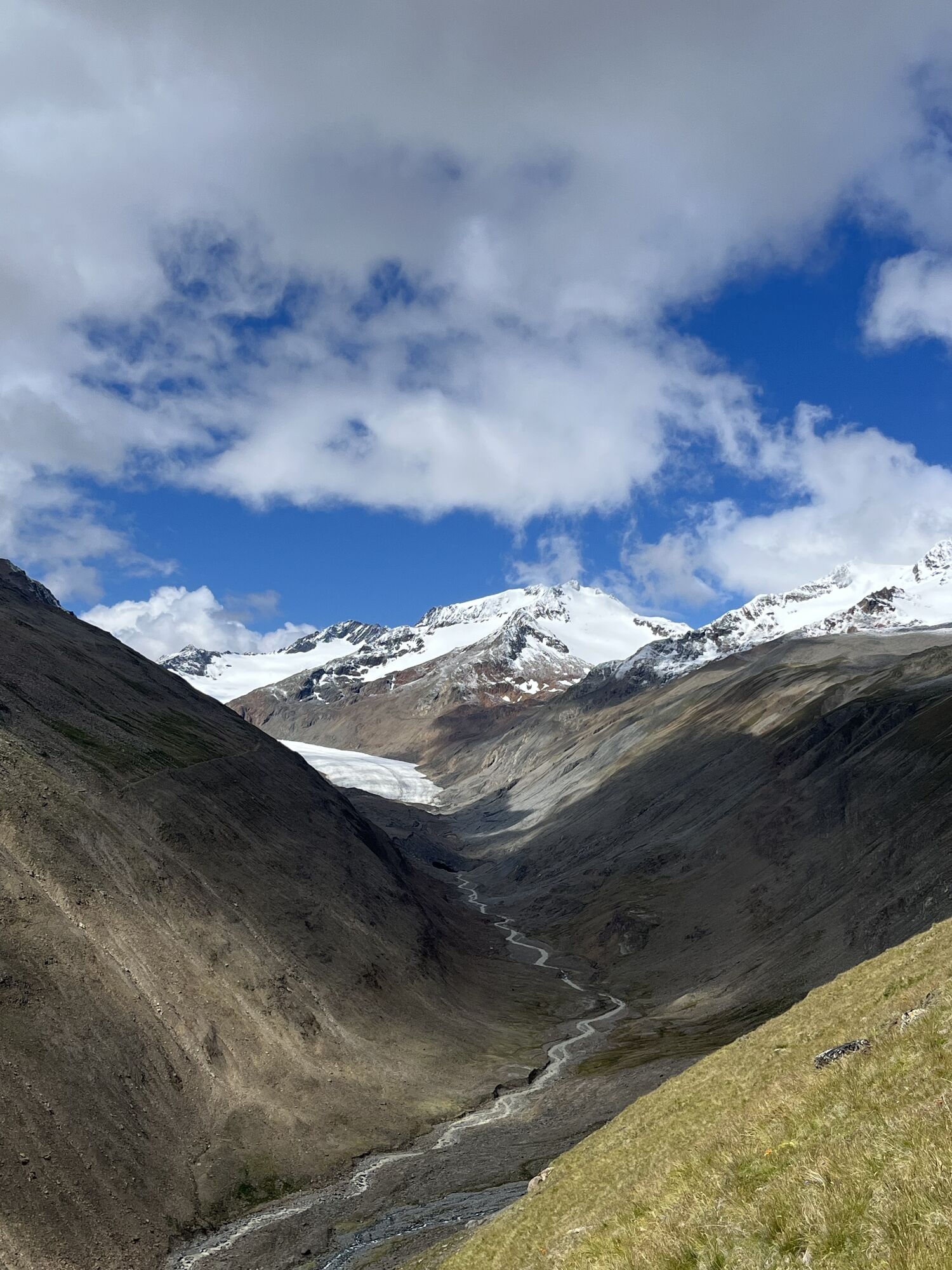
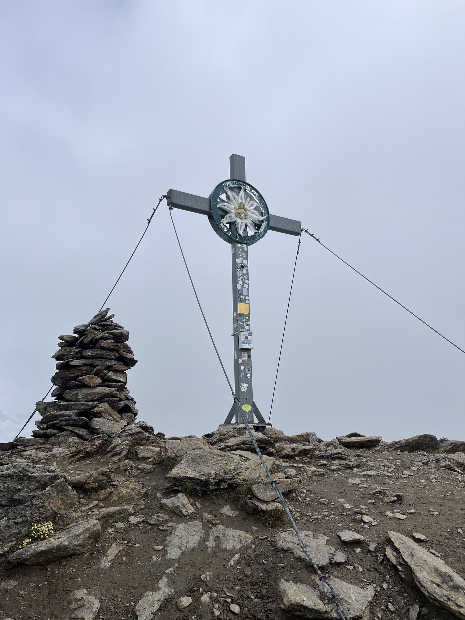
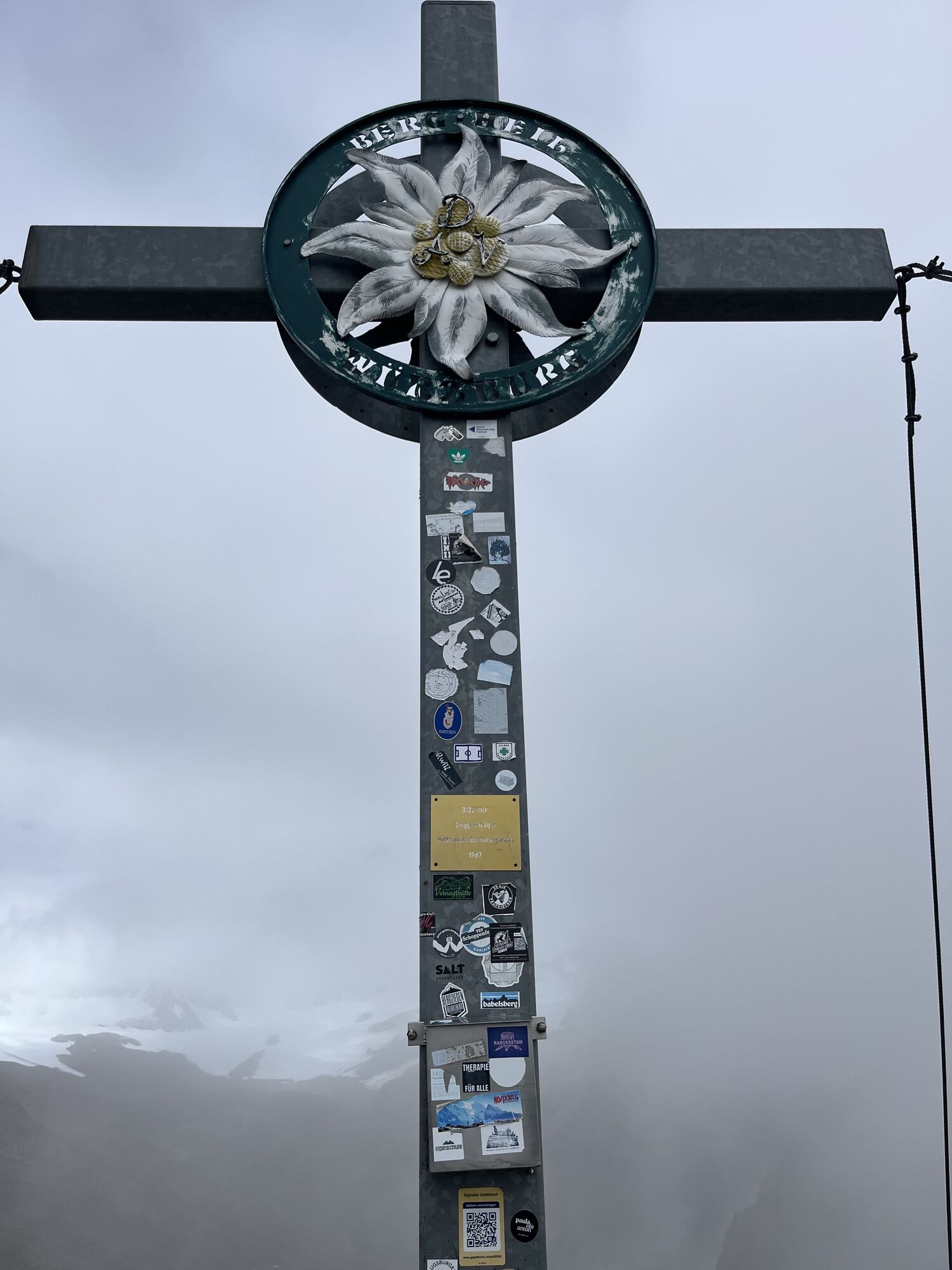
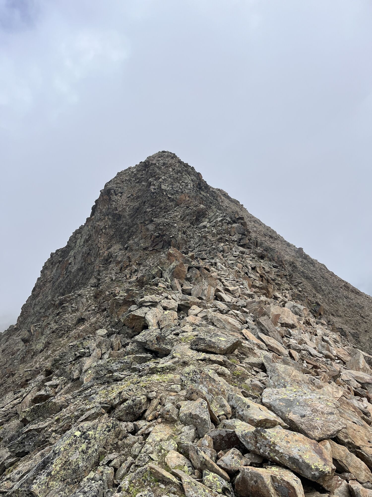
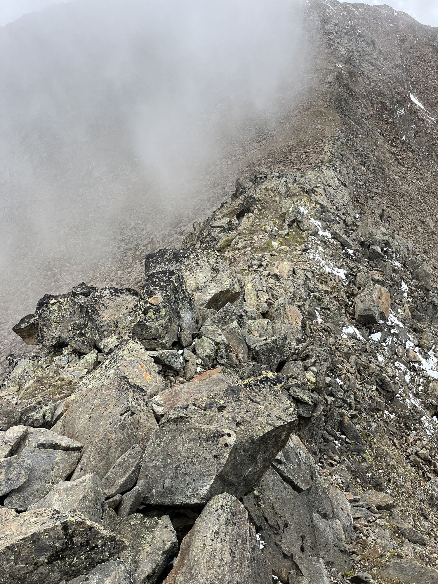
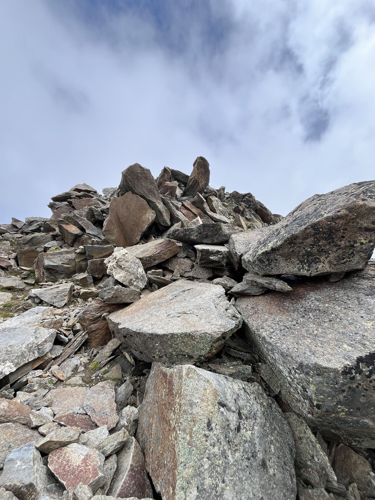
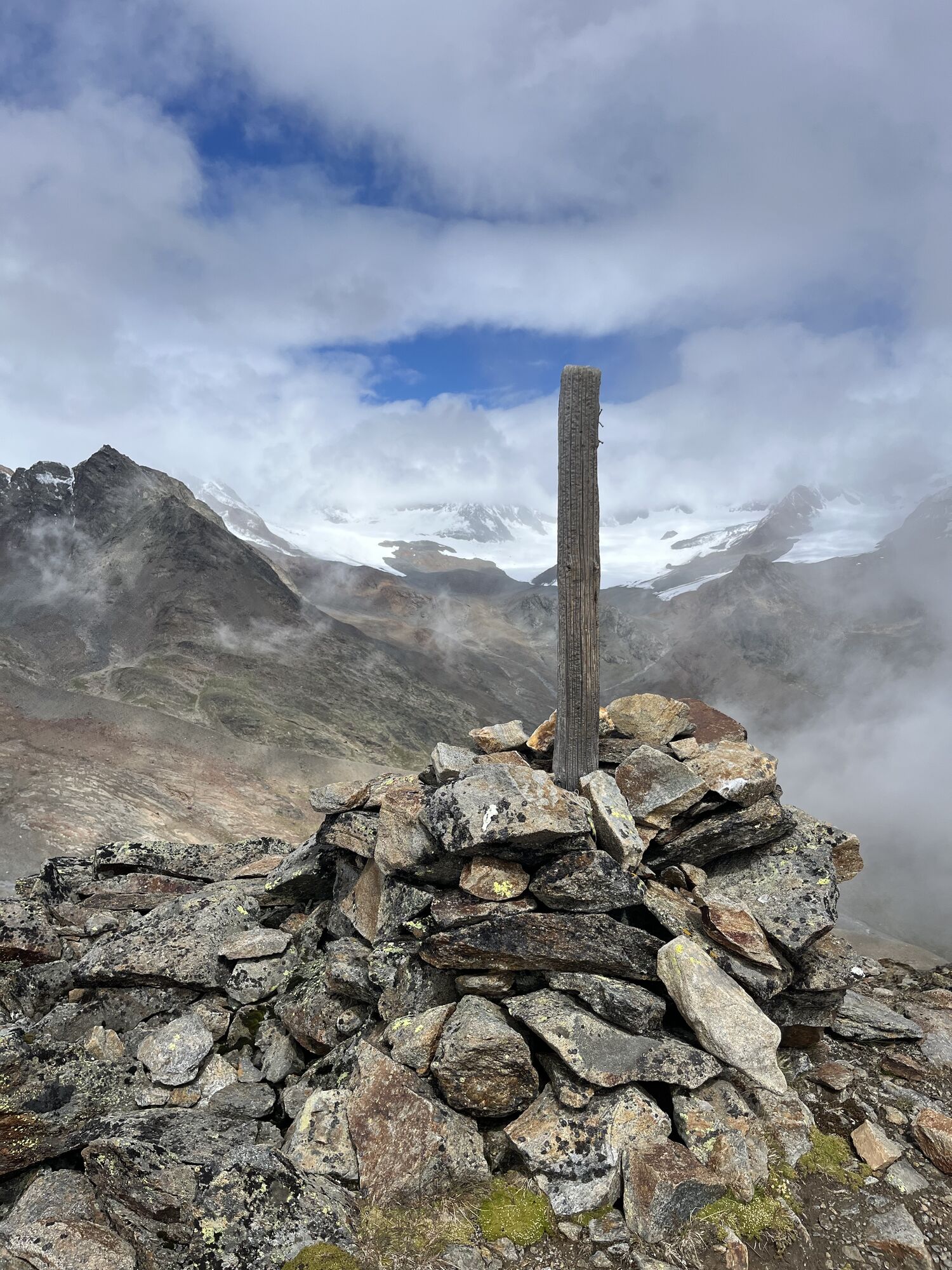
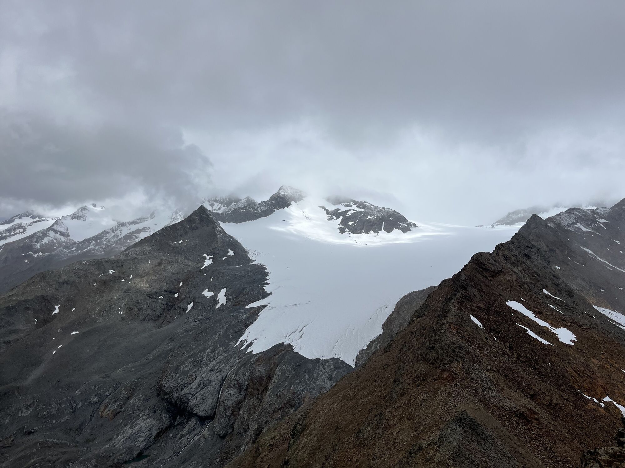
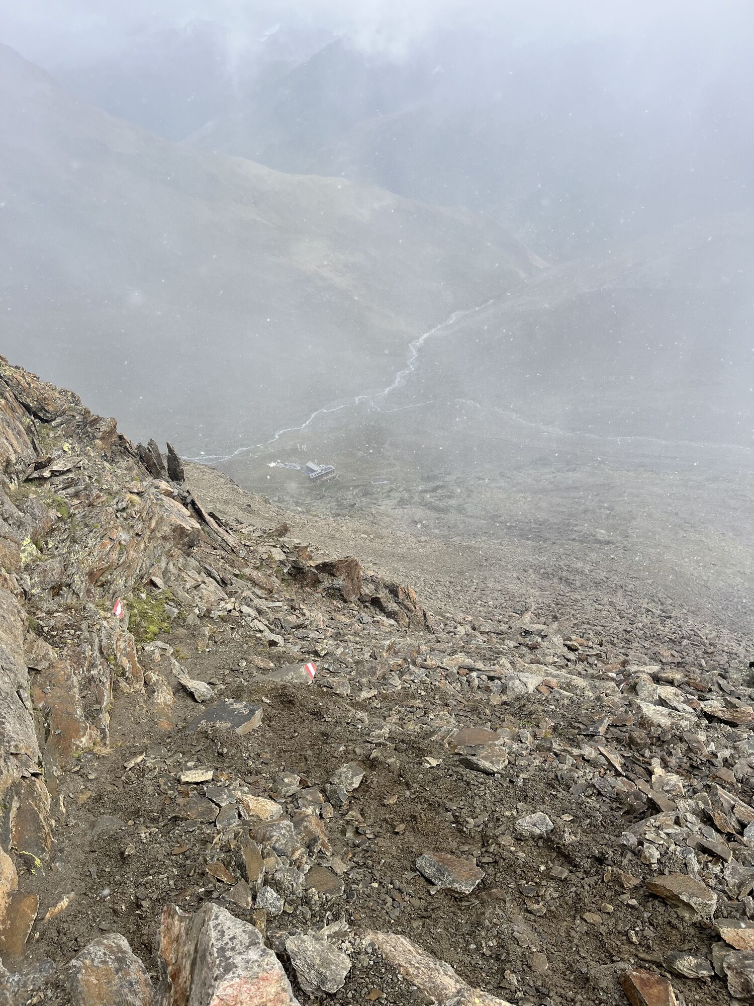
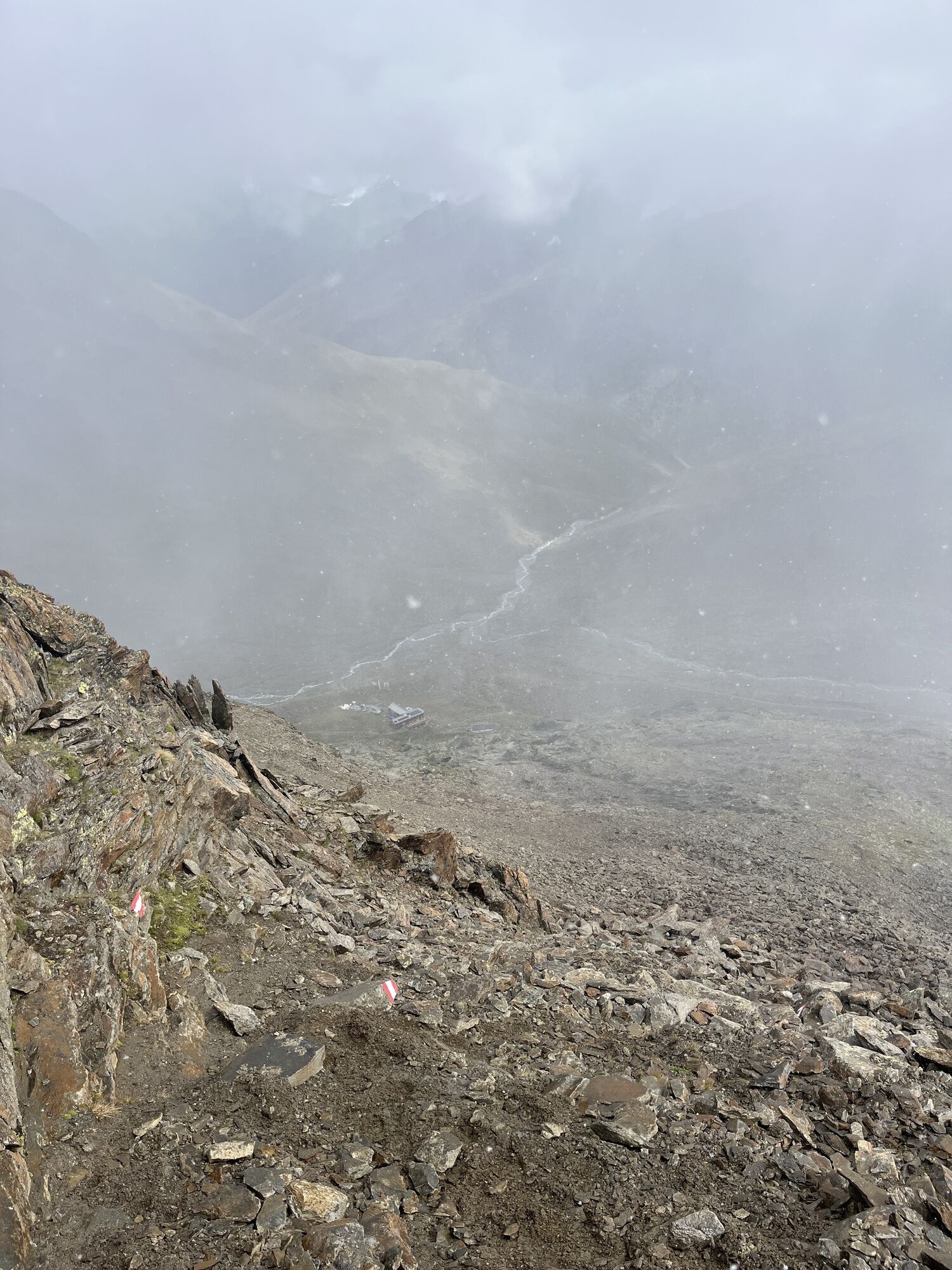
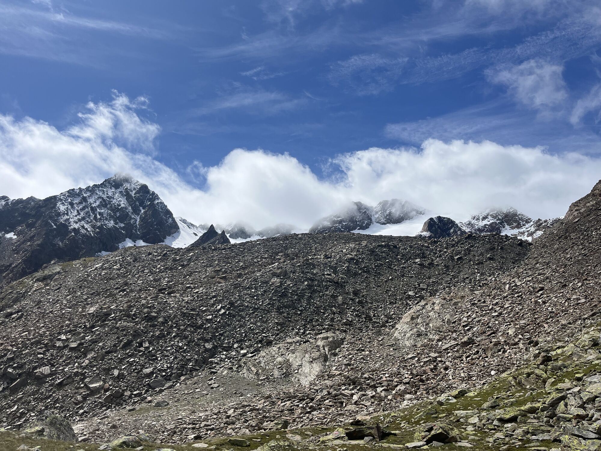
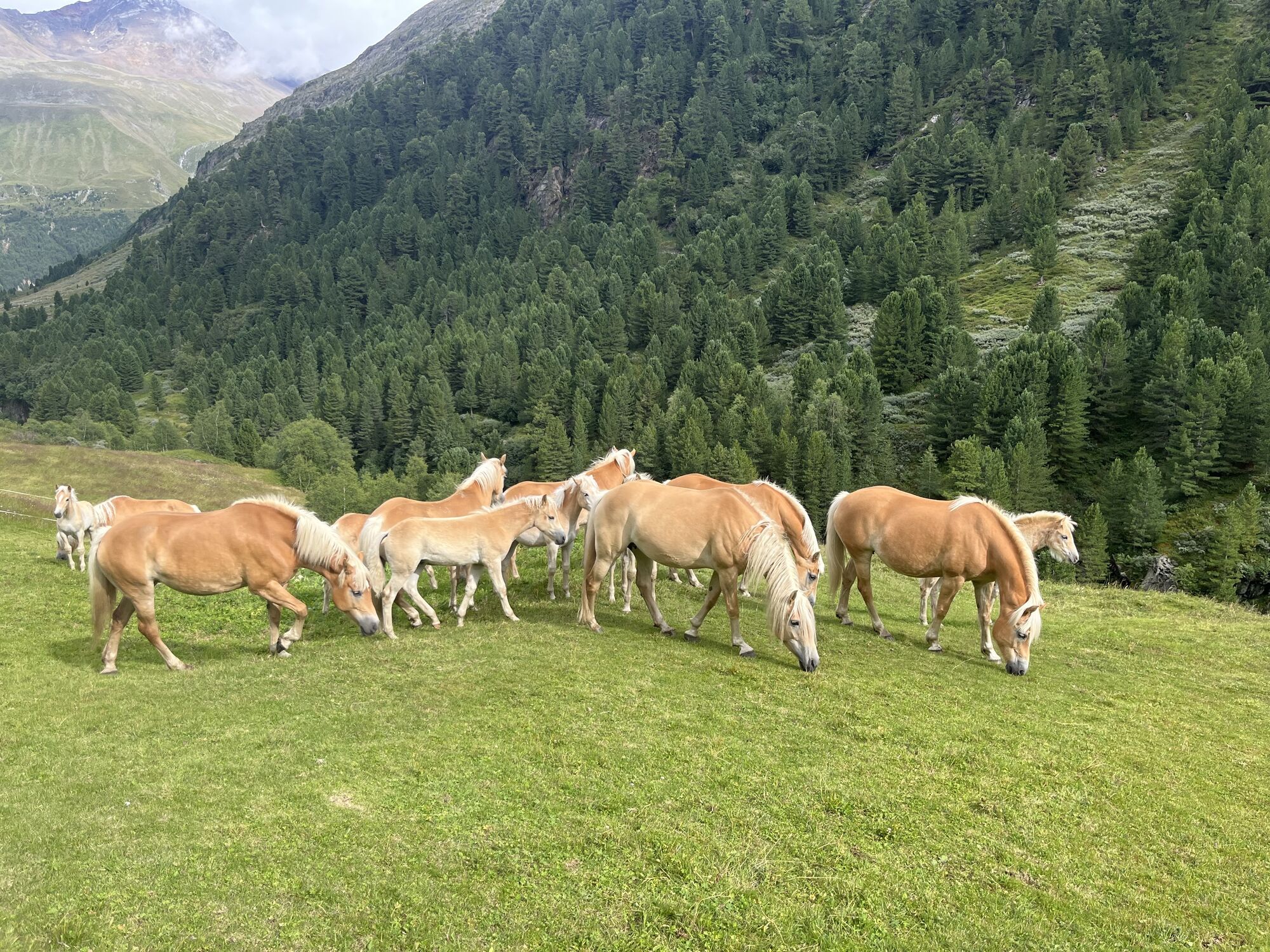
Naposledy sledované
Pred 3 týždňami

Oceňovanie
1 Komentár
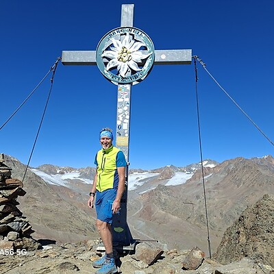
Rainer Weller Zell

20. sep. 2025
Guslarspitzen über Vernagthütte
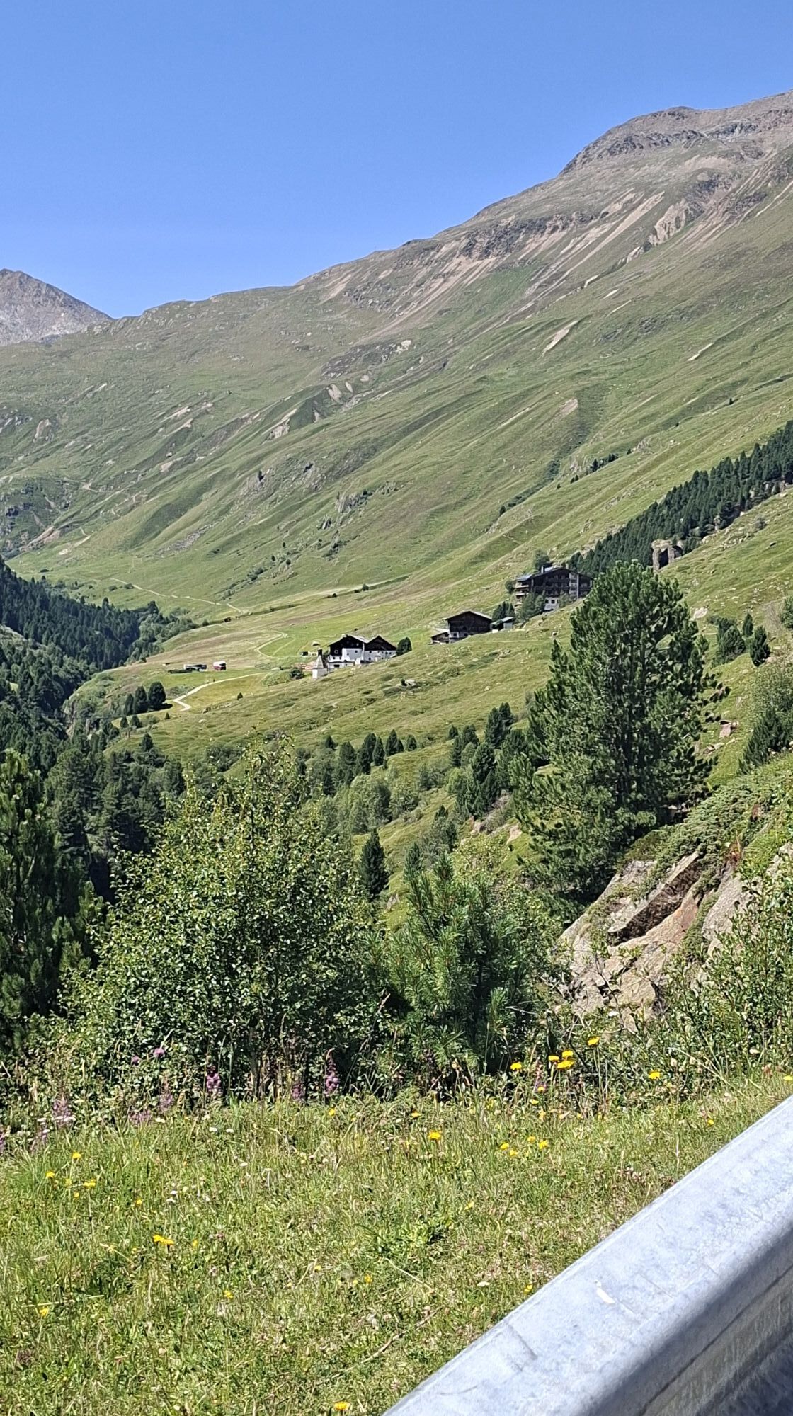
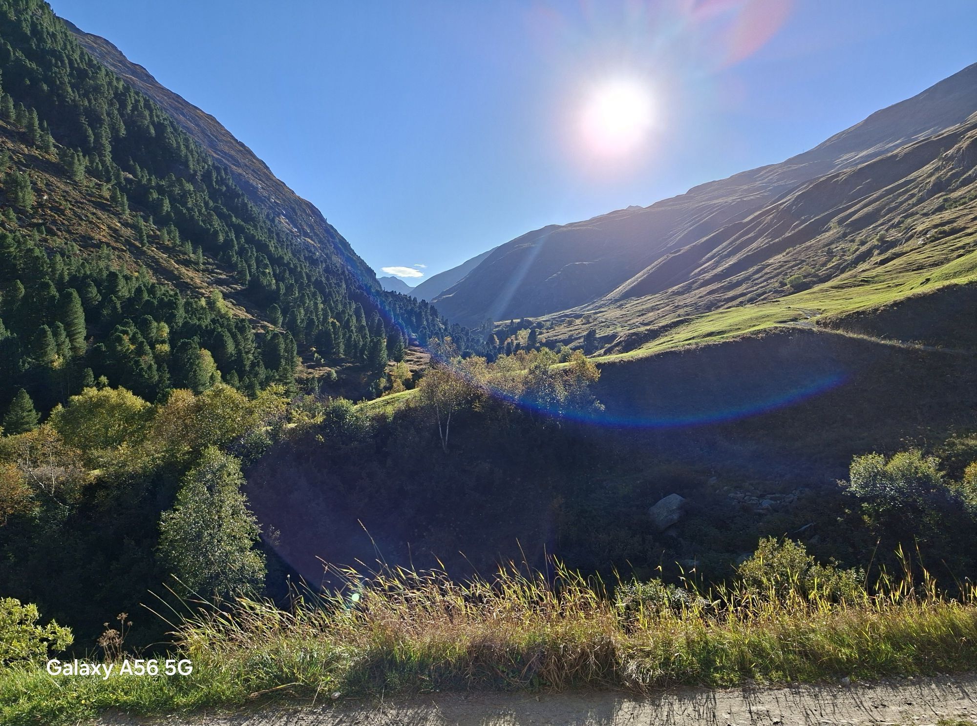
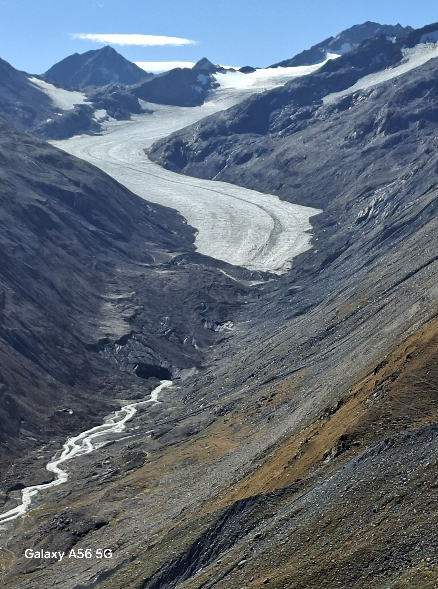
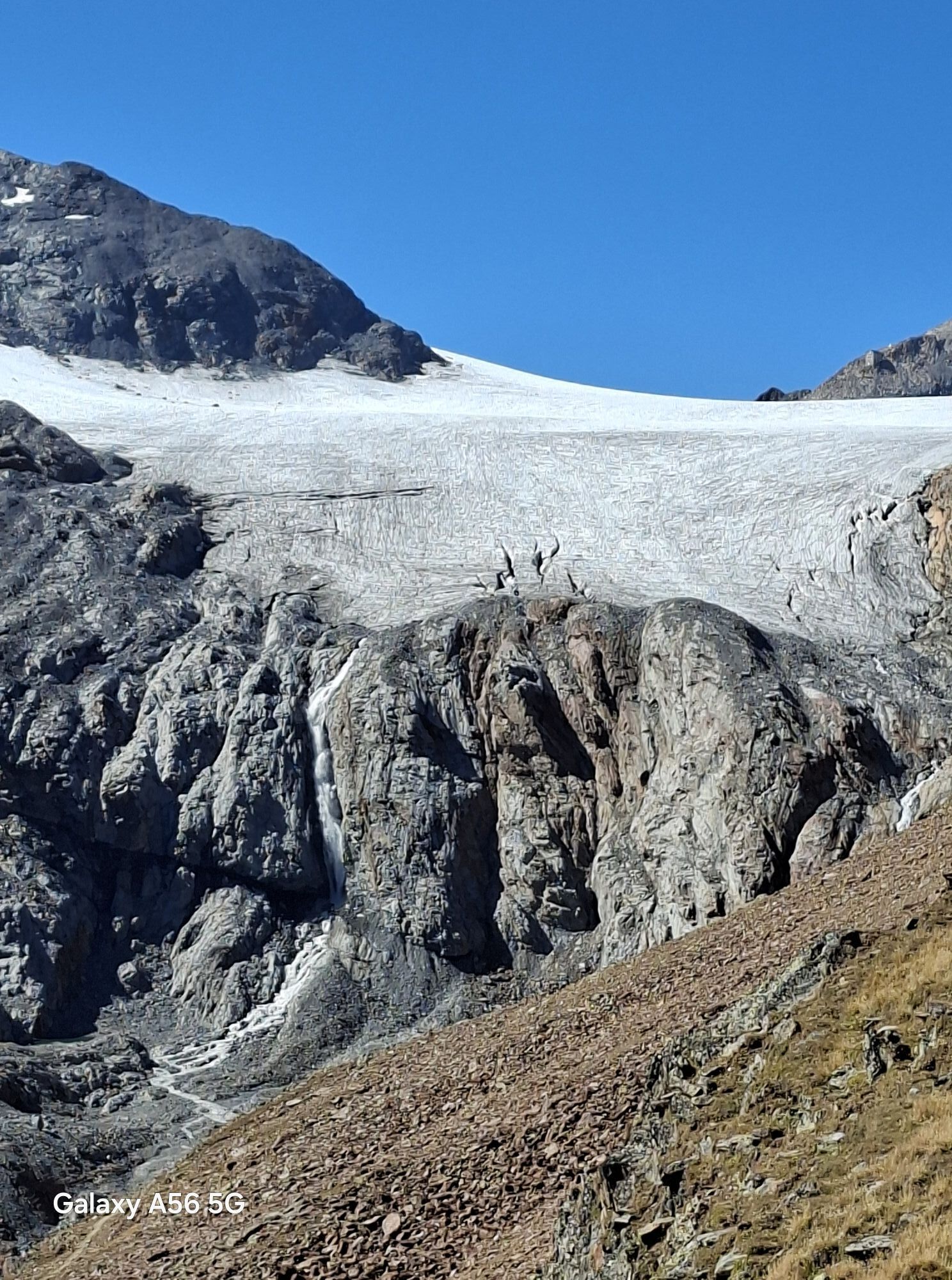
Landschaftliche tolle Tour. Spektakuläre Ausblicke mit Allen noch vorhandenen Gletschern.

Všetky webové kamery na mape
Nainštaluj si aplikáciu zadarmo a porovnaj živé zábery z viacerých miest, než vyrazíš.
Využite službu „ bergfex “ už teraz v aplikácii
Naskenuj QR kód pomocou fotoaparátu
Ak máte aplikáciu nainštalovanú, obsah sa otvorí priamo. Ak aplikáciu ešte nemáte, budete presmerovaní na stránku, kde si ju môžete bezplatne stiahnuť.
Aktivity počas prehliadky
-

Sölden, Tirol/Österreich
17.09.2026 – Turistika -

Sölden, Tirol/Österreich
12.09.2026 – Turistika -

Vent, Tirol/Österreich
10.09.2026 – Turistika -

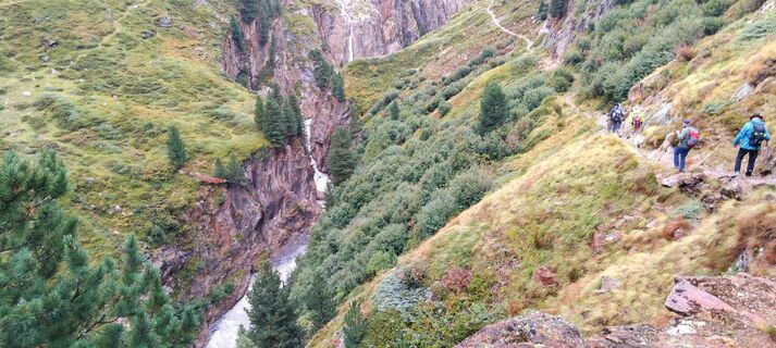
Vent, Tirol/Österreich
10.09.2026 – Horská turistika -

Vent, Tirol/Österreich
10.09.2026 – Turistika -

Vent zur Vernagthütte
08.09.2026 – Turistika -

Sölden, Tirol/Österreich
08.09.2026 – Cyklistika -

Sölden, Tirol/Österreich
22.08.2026 – Turistika -

Sölden, Tirol/Österreich
21.08.2026 – Turistika -

Sölden, Tirolo/Austria
14.08.2026 – Turistika -
Hochjoch Hospiz - Vent, Tirol/Österreich
13.08.2026 – Turistika -
Sölden, Tirol/Österreich
13.08.2026 – Turistika -
Sölden, Tirol/Österreich
12.08.2026 – Turistika -
Vent, Tirolo/Austria
11.08.2026 – Turistika -

Hochjoch Hospiz
29.07.2026 – Turistika -
Sölden, Tirol/Österreich
27.07.2026 – Turistika -

Sölden, Tirol/Österreich
26.07.2026 – Vysoké turné -
Sölden, Tirol/Österreich
20.07.2026 – Turistika -

Vent, Tirol/Österreich
19.07.2026 – Turistika -

Sölden, Tirol/Österreich
10.07.2026 – Vysoké turné
Obľúbené výlety v okolí
-
4,8
Vent - Kreuzspitze
Turistika 20,6 km -
4,3
Vorderkaser - Eishof / Texelgruppe
svetloTuristika 4,83 km -
4,6
Vent - Wilder Mann - Breslauer Hütte - Stableinalm
strednáTuristika 7,25 km -
4,8
Kurzras - Schöne Aussicht - ins hintere Eis
strednáTuristika 13,0 km -
4,4
Rundweg Vernagter See plus Einkehr Finailhof
strednáTuristika 8,73 km -
3,8
Breslauer Hut
strednáTuristika 4,75 km -
4,3
Vernagt-Stausee (Seerundgang)
svetloTuristika 6,70 km -
4,4
Hochtour Wildspitze, 3.768m
strednáVysoké turné 9,75 km -
3,5
Tiefenbachglacier - Mountaineering Village Vent
strednáTuristika 10,8 km -
4,8
Kurzras - Lazaunhütte - Kurzras
svetloTuristika 6,77 km
Turistika a stopovanie

Viac ako 550.000 návrhov výletov, podrobné mapy a intuitívny plánovač trás robia z aplikácie povinnú výbavu pre všetkých nadšencov prírody.

Nenechajte si ujsť ponuky a inšpiráciu na ďalšiu dovolenku
Prihlásiť sa k odberu noviniek
Chyba
Vyskytla sa chyba. Prosím, skúste to znova.
Ďakujeme za vašu registráciu
Vaša e-mailová adresa bol pridaný do poštového zoznamu.
Zájazdy po celej Európe
Rakúsko
Švajčiarsko
Nemecko
Taliansko
Slovinsko
Francúzsko
Holandsko
Belgicko
Poľsko
Lichtenštajnsko
Česko
Slovensko
španielsko
Hrvaška
Bosna a Hercegovina
Luxembursko
Andorra
Portugalsko
Island
Spojené kráľovstvo
Írsko
Grécko
Albánsko
Severné Macedónsko
Malta
Nórsko
Čierna Hora
Moldavsko
Kosovo
Maďarsko
San Maríno
Rumunsko
Estónsko
Lotyšsko
Bielorusko
Cyprus
Litva
Srbsko
Bulharsko
Monako
Dánsko
Švédsko
Fínsko





