Mittertal - Wetterkreuz
stredná
Získajte túto prehliadku v mobilnom telefóne
Mittertal - Wetterkreuz
stredná
Turistika
13,44
km
Naskenujte kód QR a spustite navigáciu v aplikácii bergfex

Turistika a stopovanie


Mittertal - Wetterkreuz
stredná
Vzdialenosť
13,44
km
Trvanie
06:30
h
Ascent
890
hm
Hladina mora
1 903 -
2 630
m
Stiahnutie skladby
Mittertal - Wetterkreuz
stredná
Turistika
13,44
km
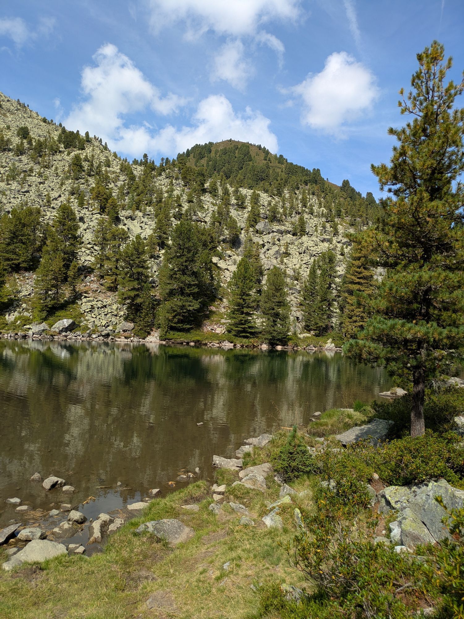
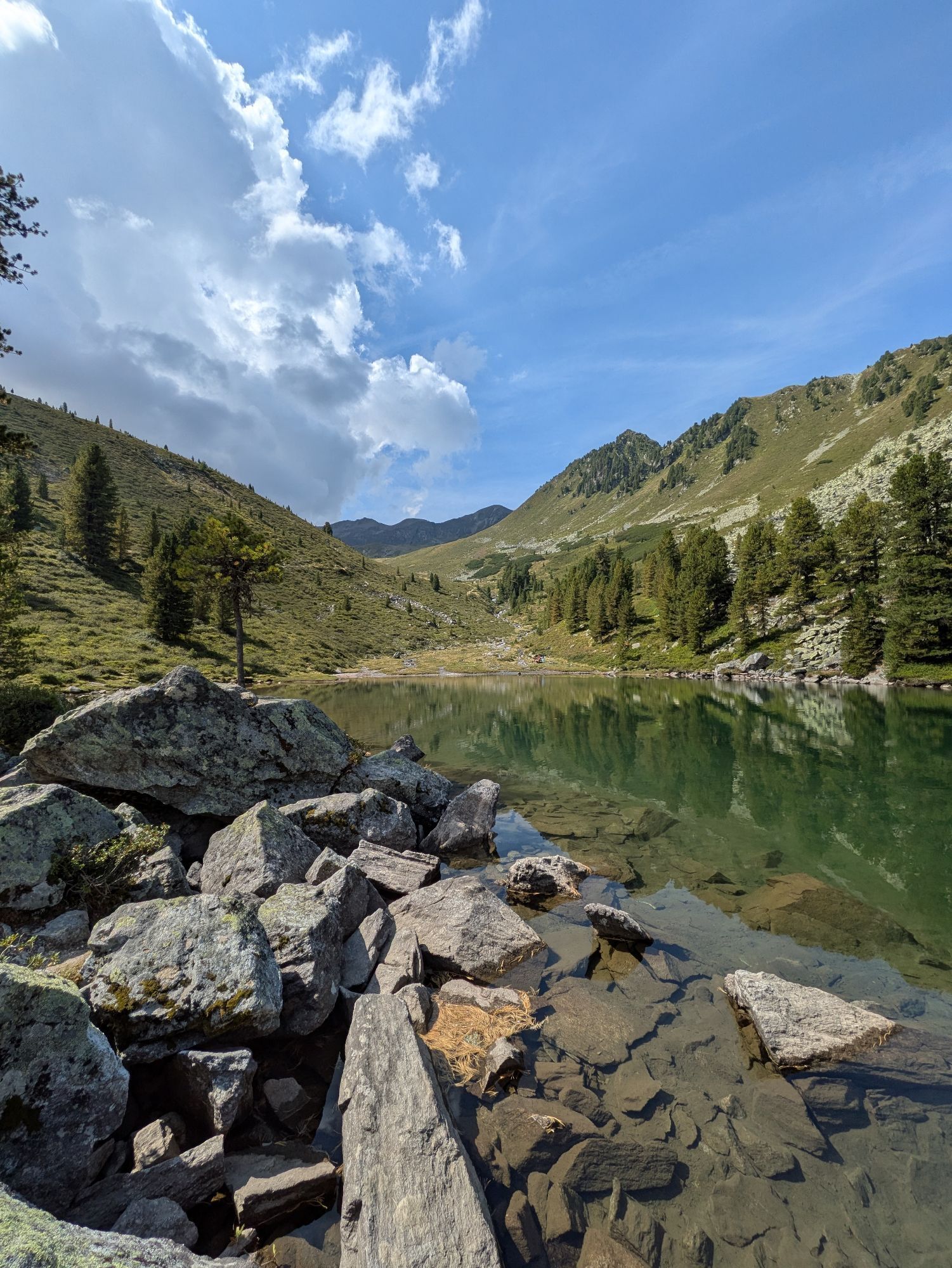
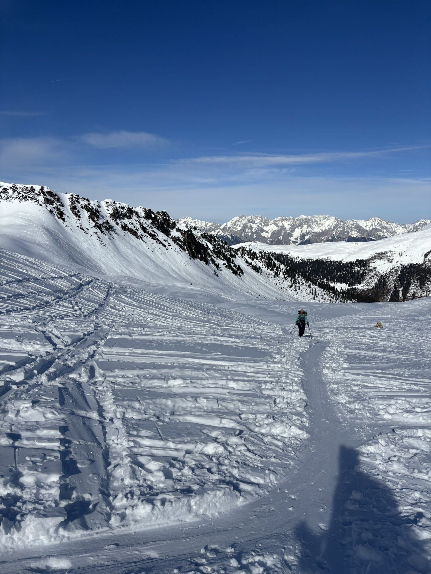
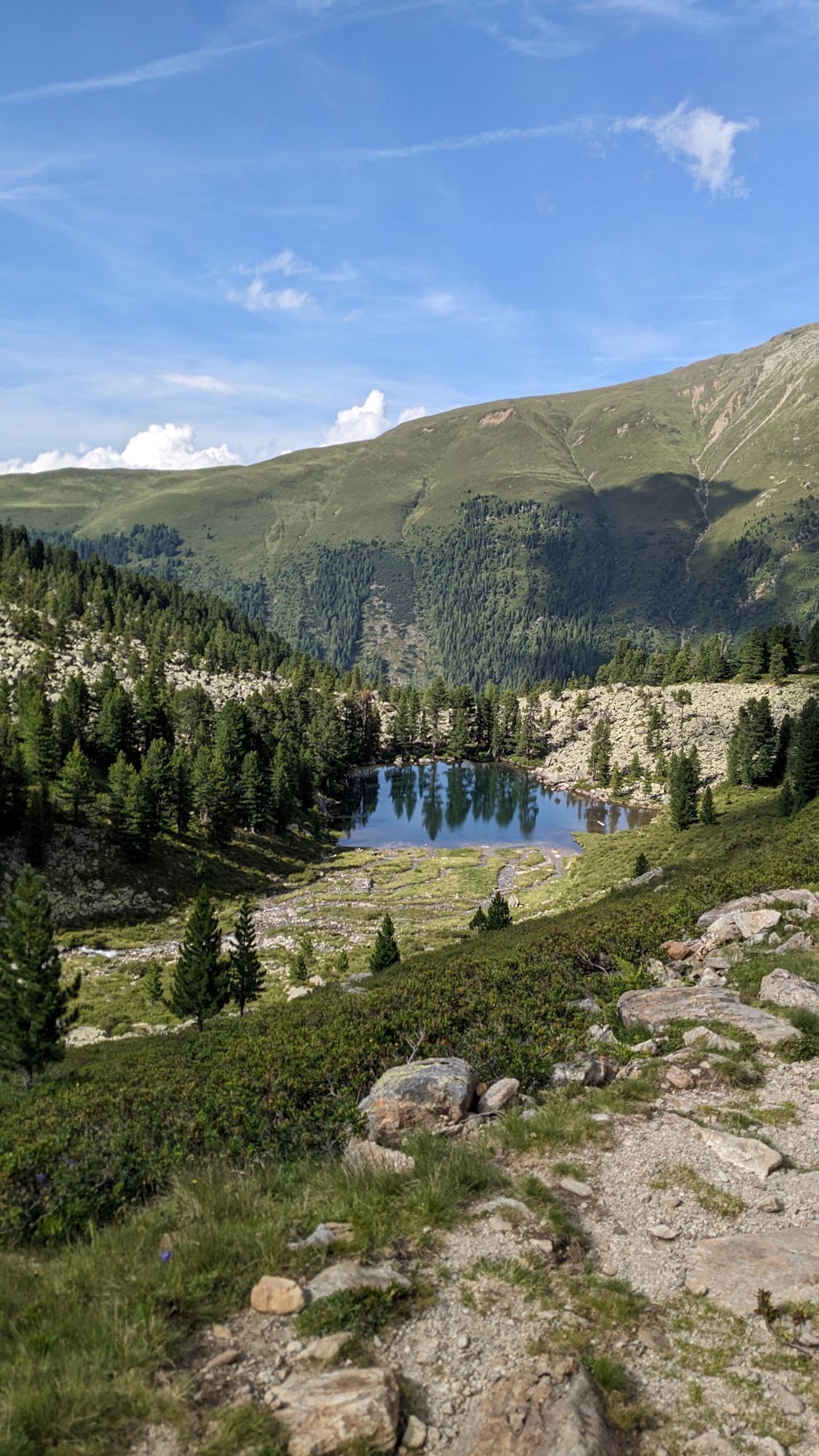
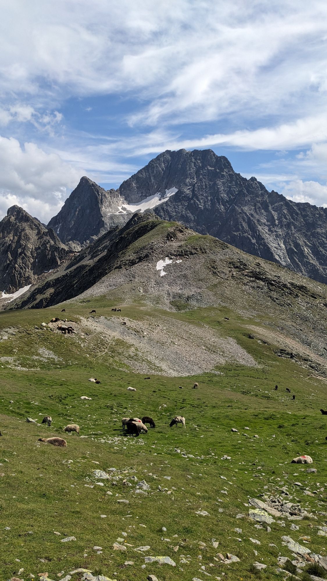
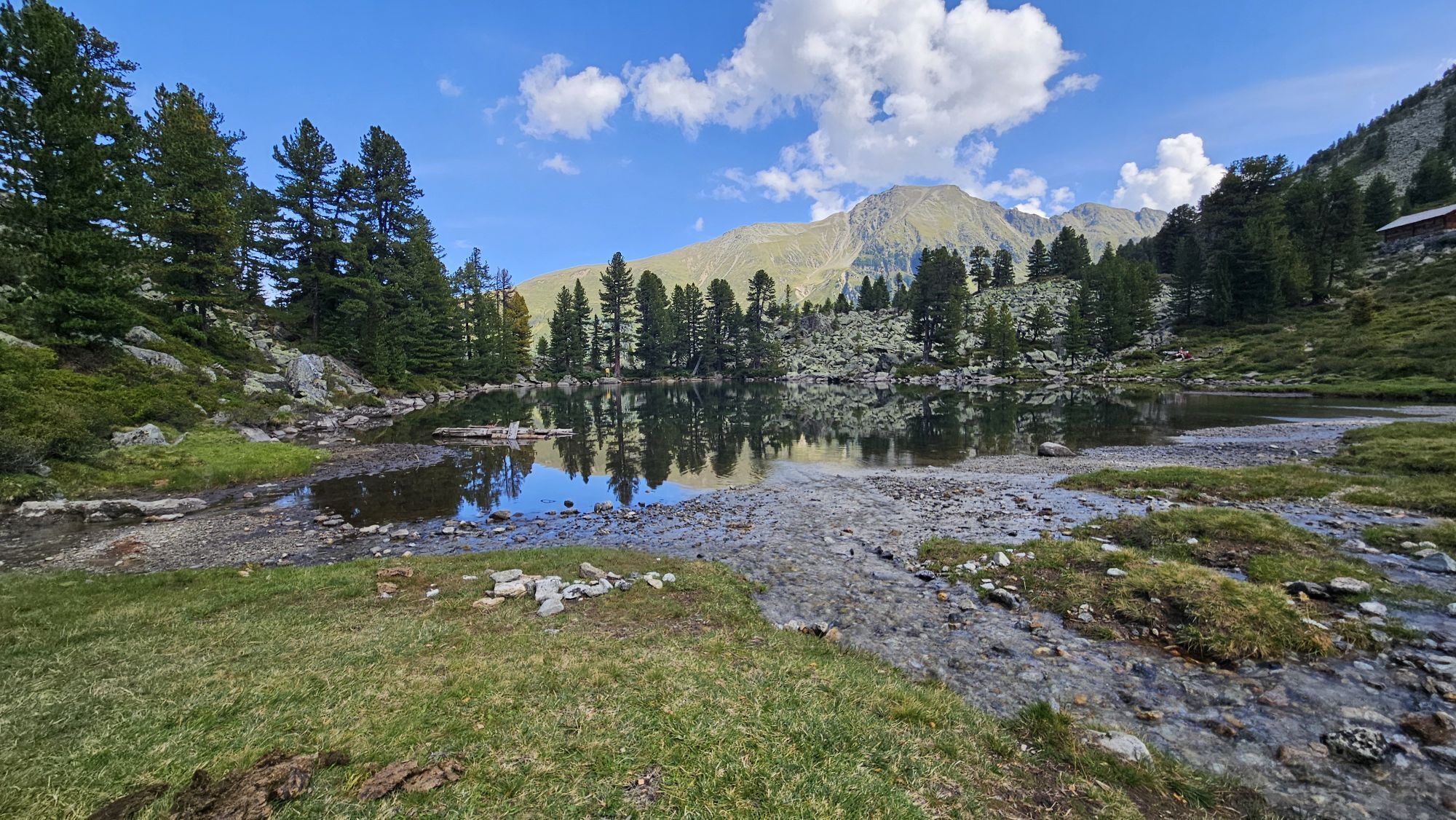
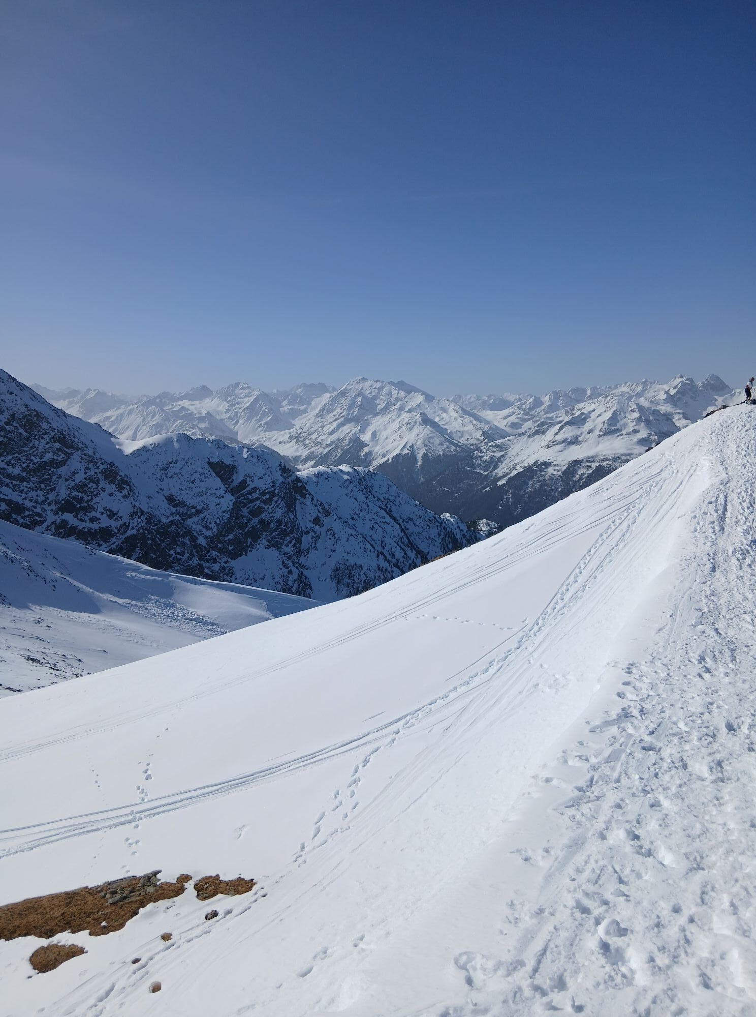
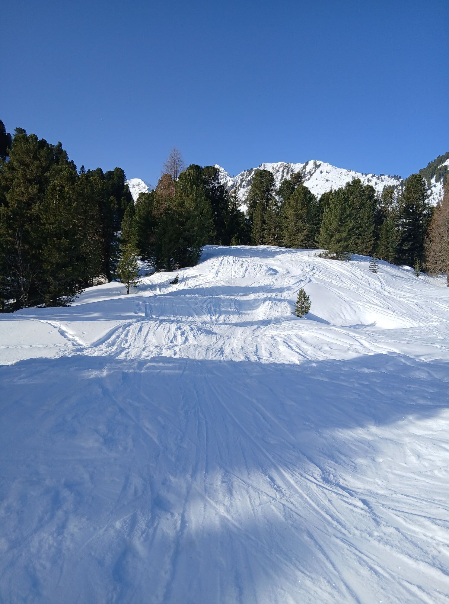
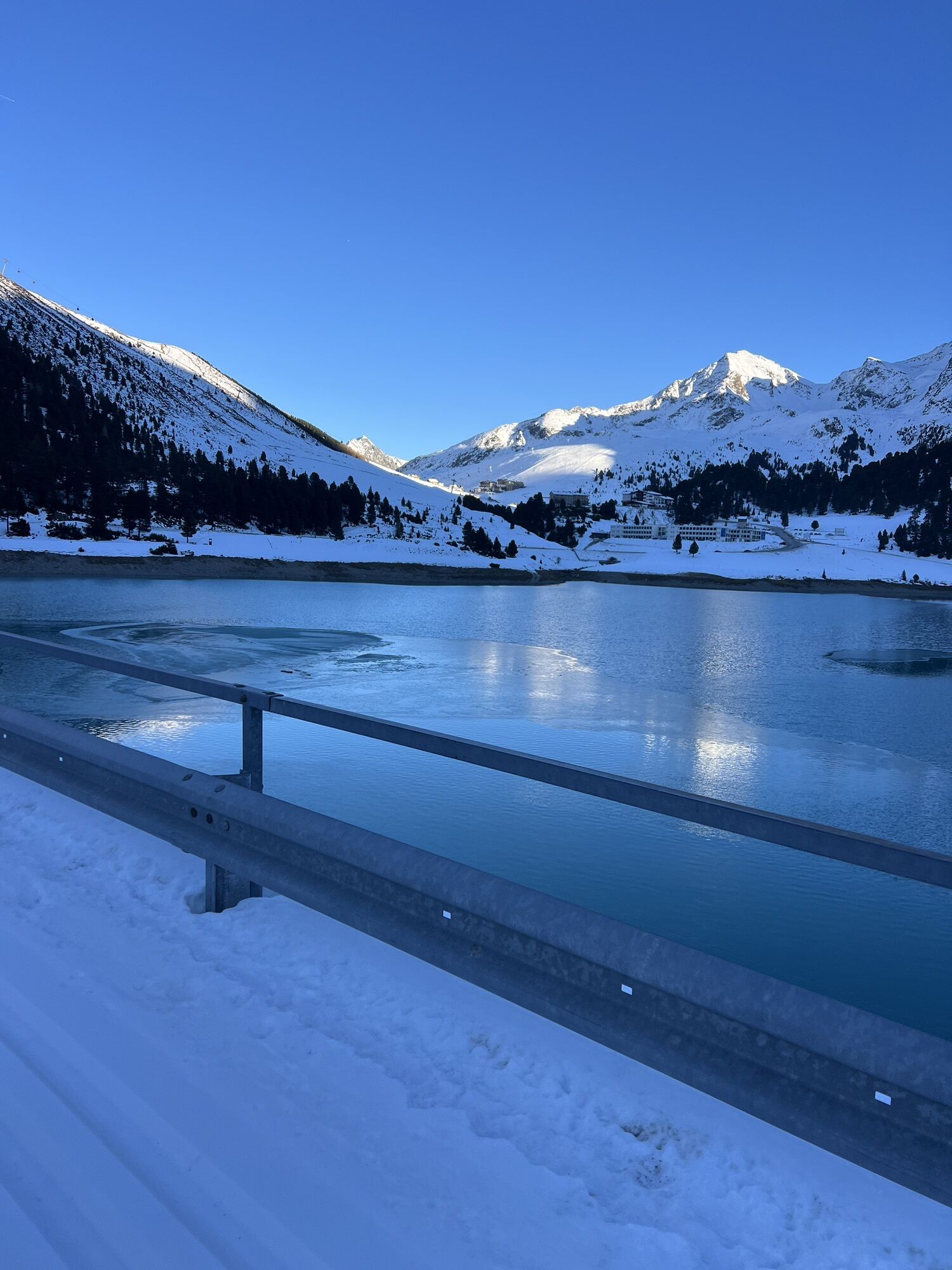
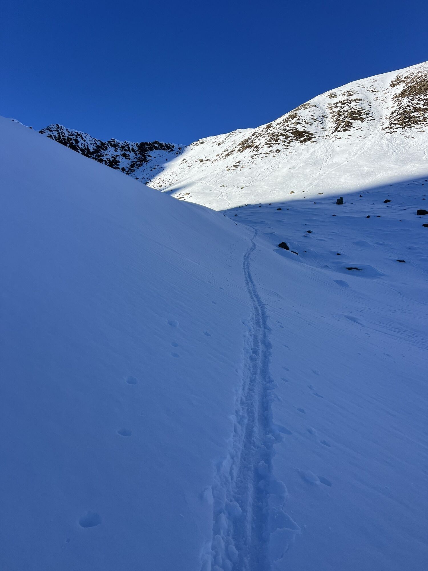
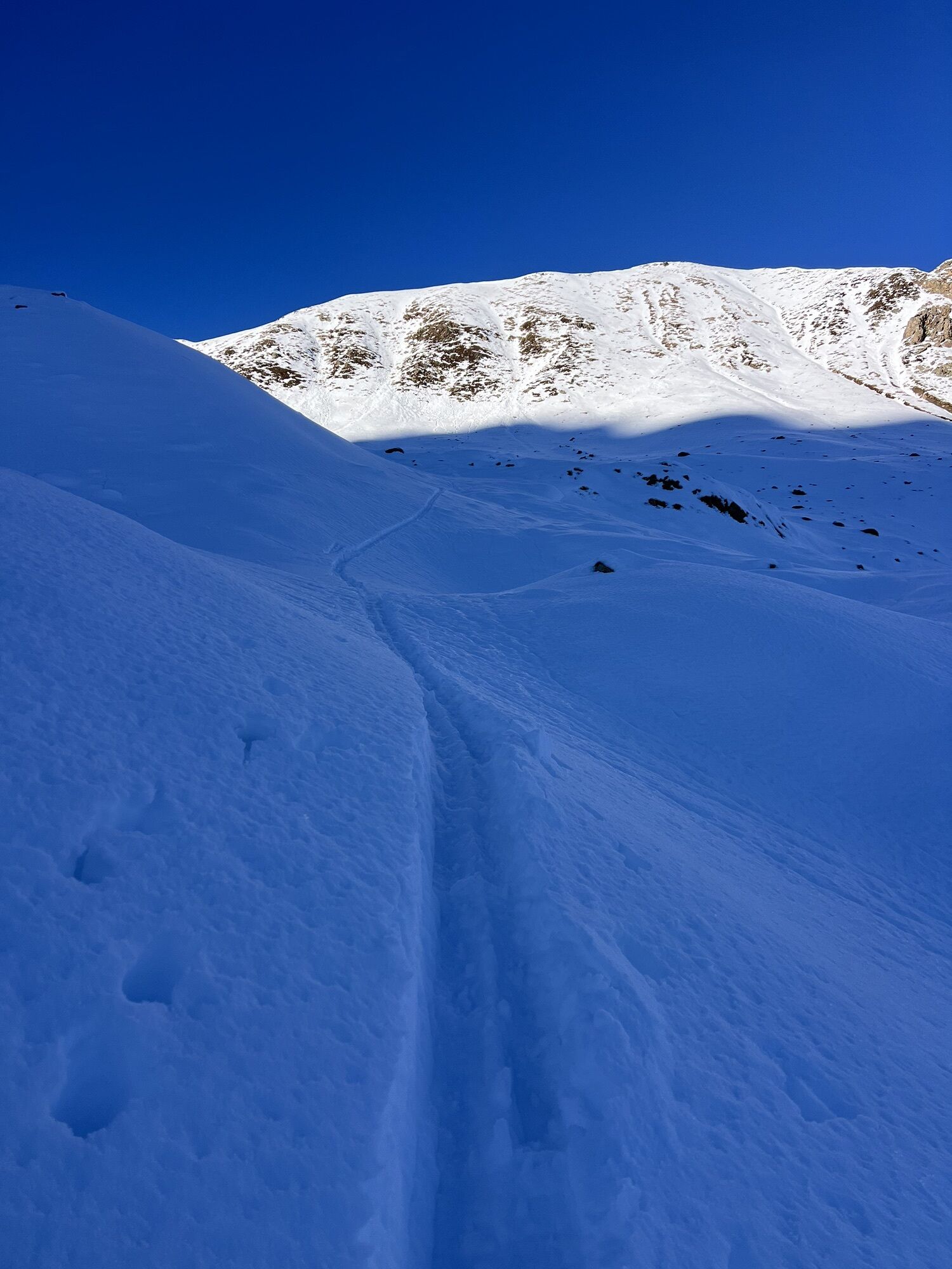
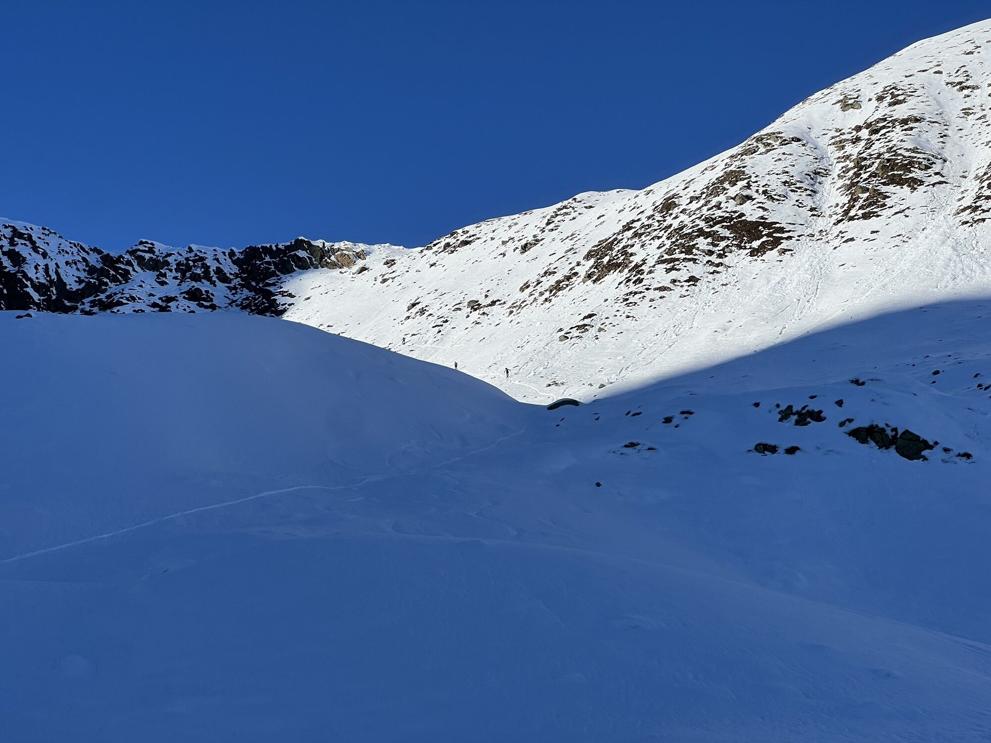
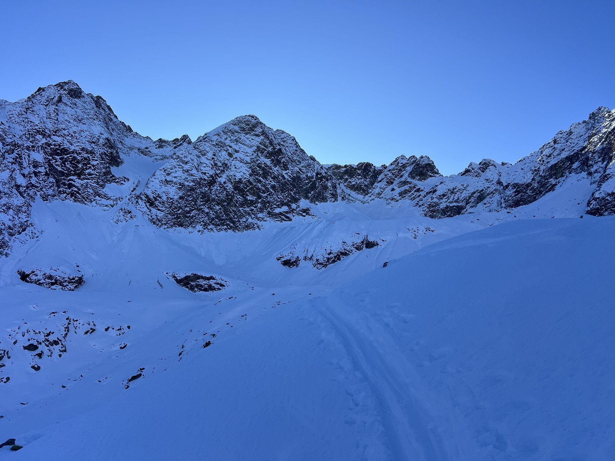
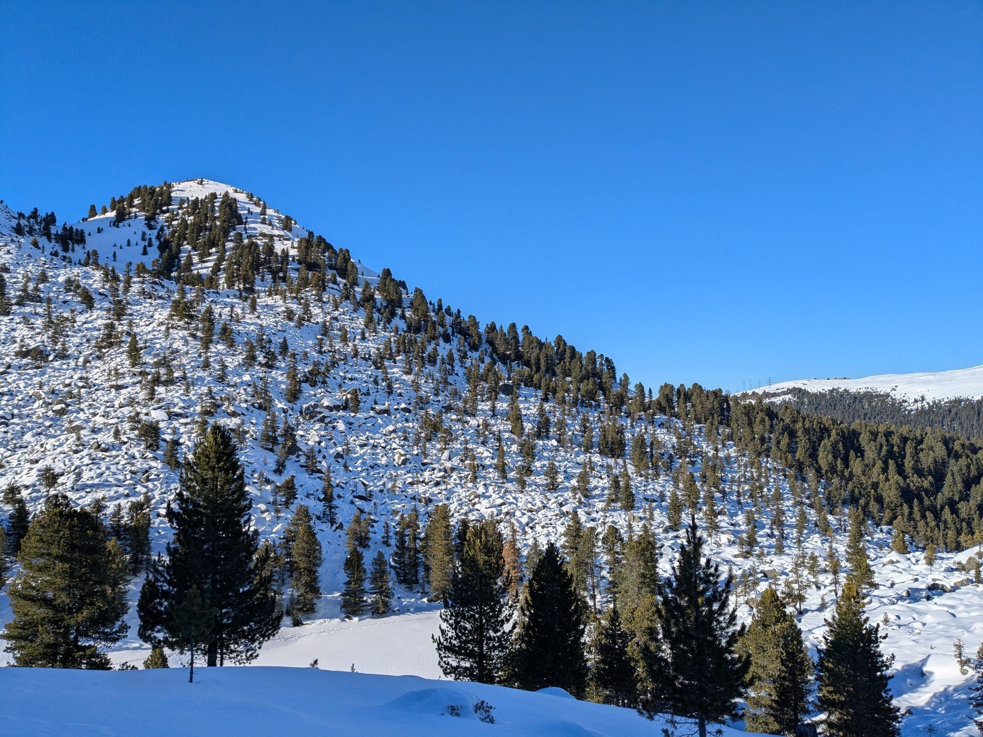
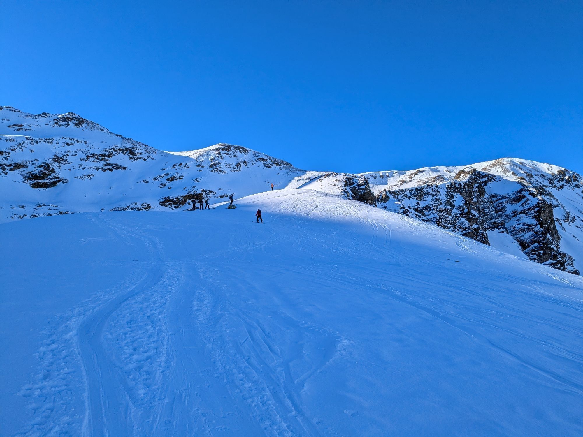

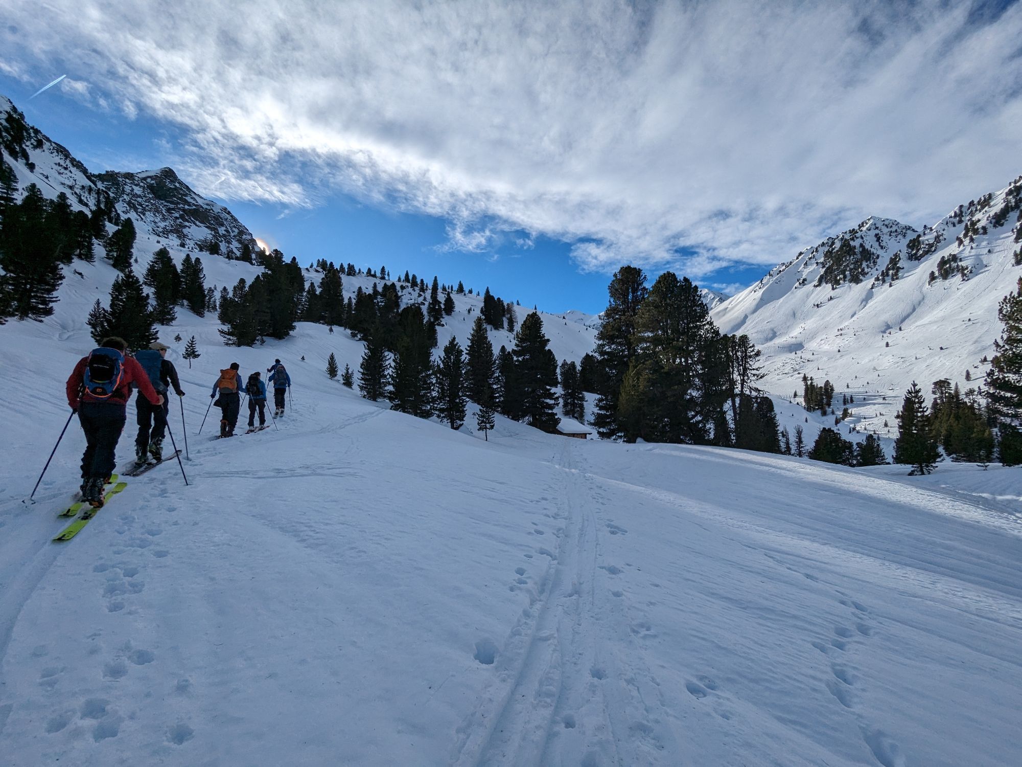
Start at the water reservoir of Kühtai, continue through Mittertal valley towards Mittertaler Scharte ridge to Wetterkreuz. Return through Wörgetal valley to Obere Issalm, then to Mittergrathütte and back...
Opis
Start at the water reservoir of Kühtai, continue through Mittertal valley towards Mittertaler Scharte ridge to Wetterkreuz. Return through Wörgetal valley to Obere Issalm, then to Mittergrathütte and back to the starting point.
Trasa
Kapelle
(1 957 m)
Miesto uctievania
11,5 km
Große Mittergrathütte
(1 951 m)
Útočisko (nespravované)
11,6 km
Kleine Mittergrathütte
(1 946 m)
Útočisko (nespravované)
11,6 km
Hemerwaldalm
(1 943 m)
Útočisko (nespravované)
11,6 km
Trasa
Mittertal - Wetterkreuz
stredná
Turistika
13,44
km
Kapelle
(1 957 m)
Miesto uctievania
11,5 km
Große Mittergrathütte
(1 951 m)
Útočisko (nespravované)
11,6 km
Kleine Mittergrathütte
(1 946 m)
Útočisko (nespravované)
11,6 km
Hemerwaldalm
(1 943 m)
Útočisko (nespravované)
11,6 km

Informácie o trase
Trasa
Start at the water reservoir of Kühtai, continue through Mittertal valley towards Mittertaler Scharte ridge to Wetterkreuz. Return through Wörgetal valley to Obere Issalm, then to Mittergrathütte and back to the starting point.
Zariadenie
It is recommended to wear hiking equipment such as breathable and weather-adapted outdoor clothing, ankle-high mountain boots, wind, rain and sun protection, cap and possibly gloves. It is also important to have enough food, as well as a first-aid package, a cell phone and a hiking map.
Informácie o príchode
Príchod
Kühtai is located in the western part of Austria. It is reachable from the Inntal and the Ötztal. For your arrival by car, you can plan the best route from your home town with the route planner online at https://www.google.at/maps
Verejná doprava
Reisen Sie mit der Bahn komfortabel und sicher zur Bahnhof-Station Ötztal. Endstation bzw. Ausstiegspunkt ist der Bahnhof ÖTZTAL. Anschließend fahren Sie bequem und schnell mit dem öffentlichen Linienverkehr oder den örtlichen Taxiunternehmen durch das gesamte Tal zu Ihrem Wunschziel! Den aktuellen Busfahrplan gibt’s unter: http://fahrplan.vvt.at
Parkovanie
Kühtai Hochalterbahn
Oceňovanie
Obľúbené výlety v okolí
-
4,2
Hike Stuibenfall - Umhausen
svetloTuristika 2,95 km -
4,4
Stuibenfall Umhausen circular hike
svetloTuristika 9,32 km -
4,5
Oetz - Piburger See - Oetz
strednáTuristika 7,16 km -
4,3
Lampsenspitze, Sellrain, Tirol
strednáSkitour 4,97 km -
4,4
Hundstalsee
strednáTuristika 7,35 km -
4,7
Summit route Faltegartenköpfl
strednáTuristika 4,04 km -
4,1
Arzkasten - Lehnberghaus
svetloTuristika 3,08 km -
4,6
Umhausen - Stuibenfall - Umhausen
strednáTuristika 7,94 km -
4,5
Summit route Weather Cross from Hochoetz
strednáTuristika 3,06 km -
4,7
Circular hike Bergmahderweg - Niederthai
svetloTuristika 7,60 km
Turistika a stopovanie

Viac ako 550.000 návrhov výletov, podrobné mapy a intuitívny plánovač trás robia z aplikácie povinnú výbavu pre všetkých nadšencov prírody.

Nenechajte si ujsť ponuky a inšpiráciu na ďalšiu dovolenku
Prihlásiť sa k odberu noviniek
Chyba
Vyskytla sa chyba. Prosím, skúste to znova.
Ďakujeme za vašu registráciu
Vaša e-mailová adresa bol pridaný do poštového zoznamu.
Zájazdy po celej Európe
Rakúsko
Švajčiarsko
Nemecko
Taliansko
Slovinsko
Francúzsko
Holandsko
Belgicko
Poľsko
Lichtenštajnsko
Česko
Slovensko
španielsko
Hrvaška
Bosna a Hercegovina
Luxembursko
Andorra
Portugalsko
Island
Spojené kráľovstvo
Írsko
Grécko
Albánsko
Severné Macedónsko
Malta
Nórsko
Čierna Hora
Moldavsko
Kosovo
Maďarsko
San Maríno
Rumunsko
Estónsko
Lotyšsko
Bielorusko
Cyprus
Litva
Srbsko
Bulharsko
Monako
Dánsko
Švédsko
Fínsko