







Middle Guslarspitze - from the Vernagthütte
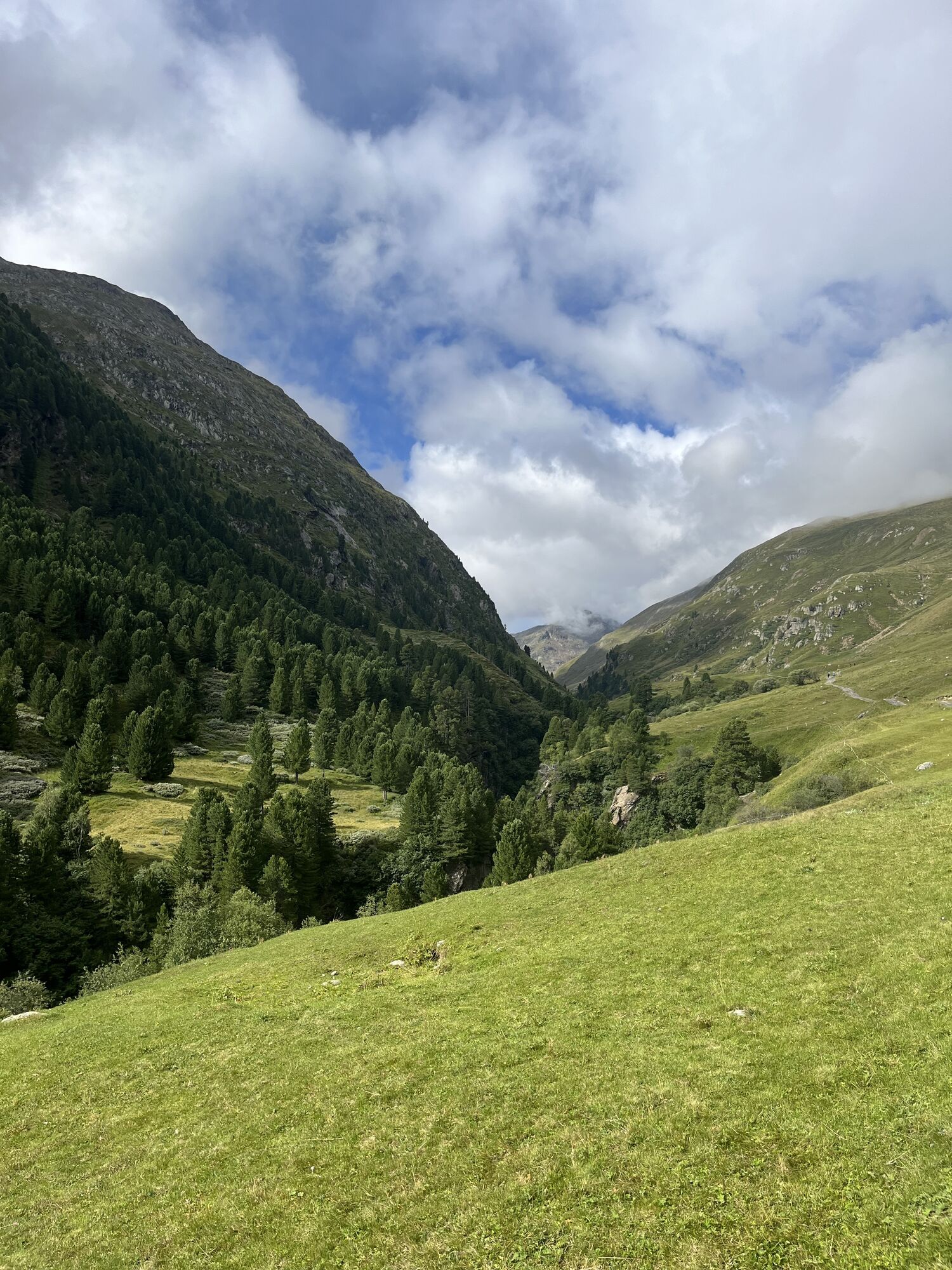
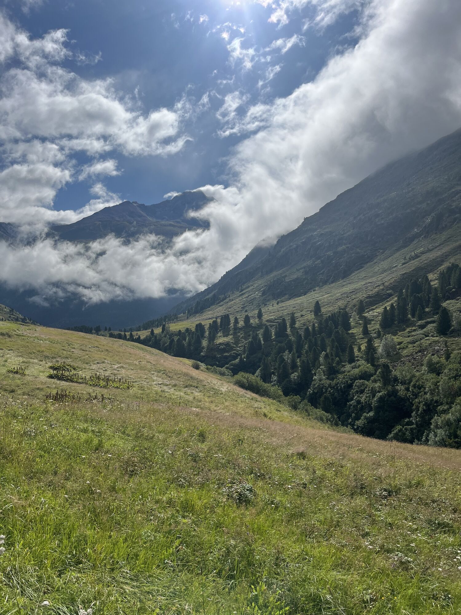
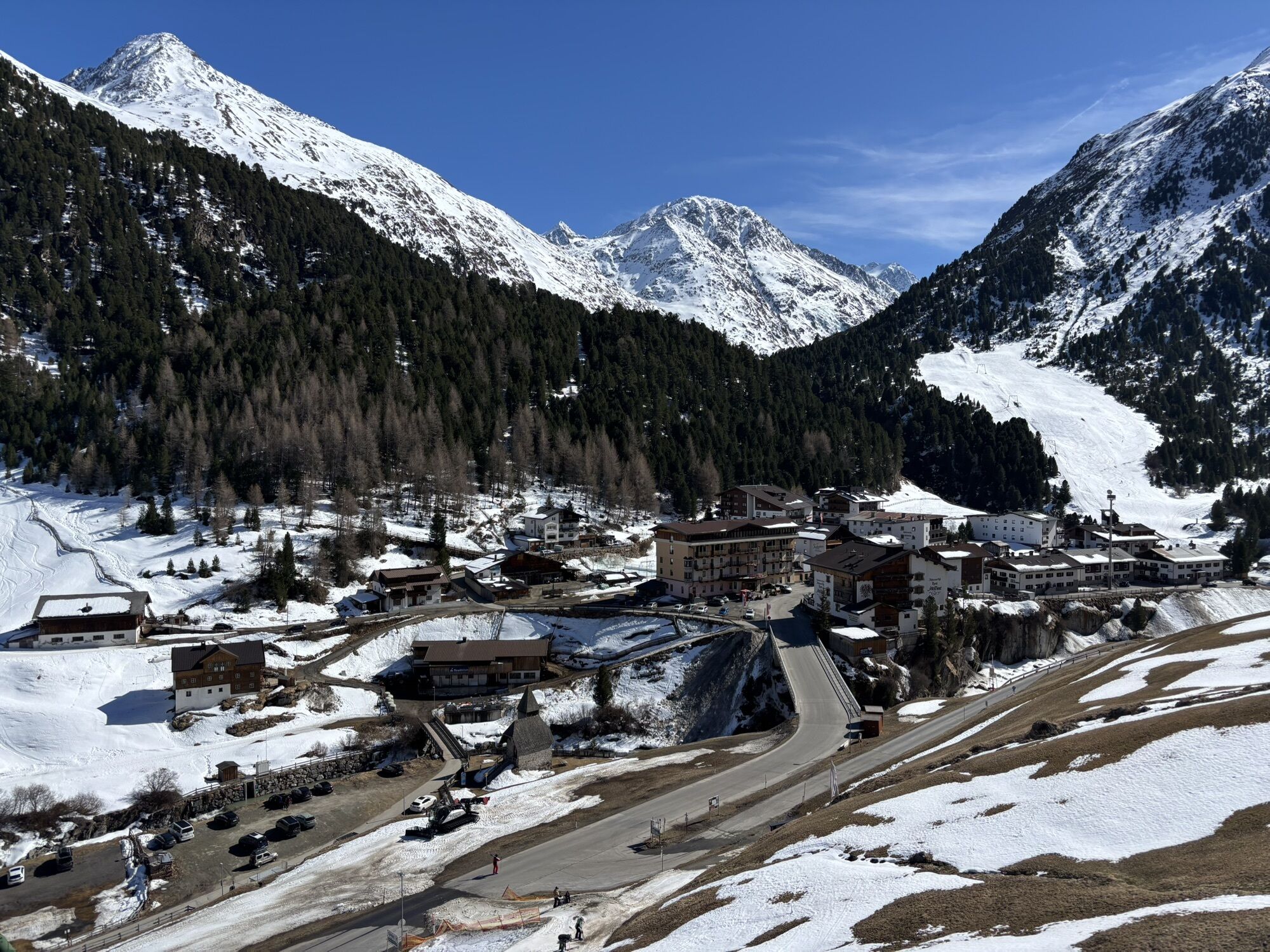
From Vent across the meadows and the suspension bridge to Rofen, further to the material cable car of the Vernagthütte, from there a moderately steep ascent leads over the Platteiberg and the Vernagtbach...
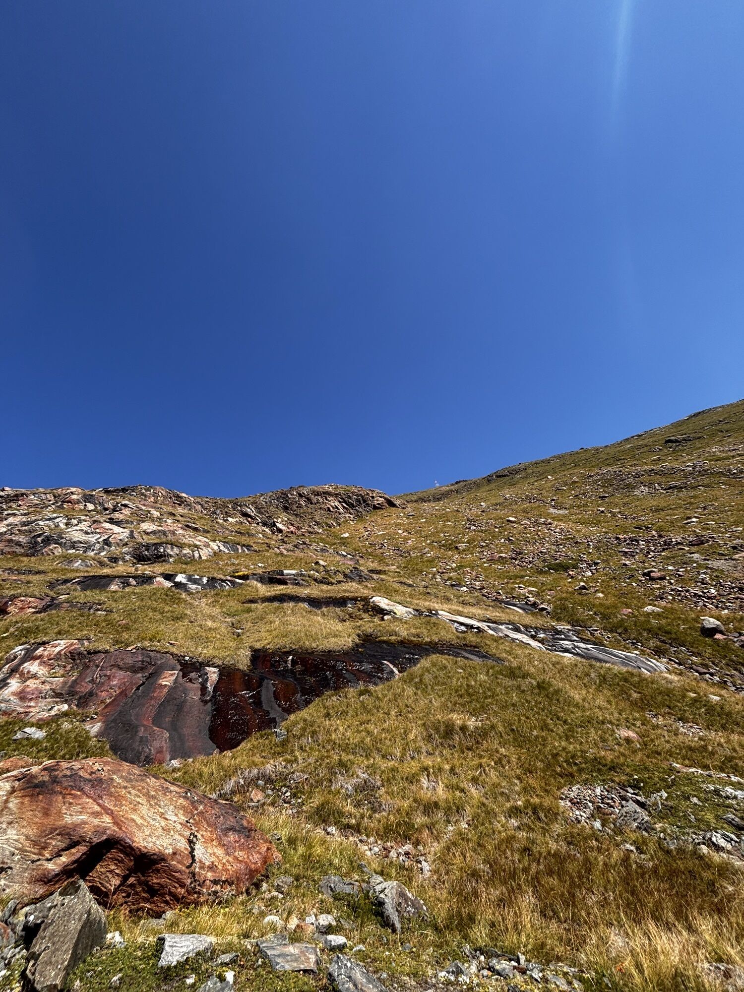
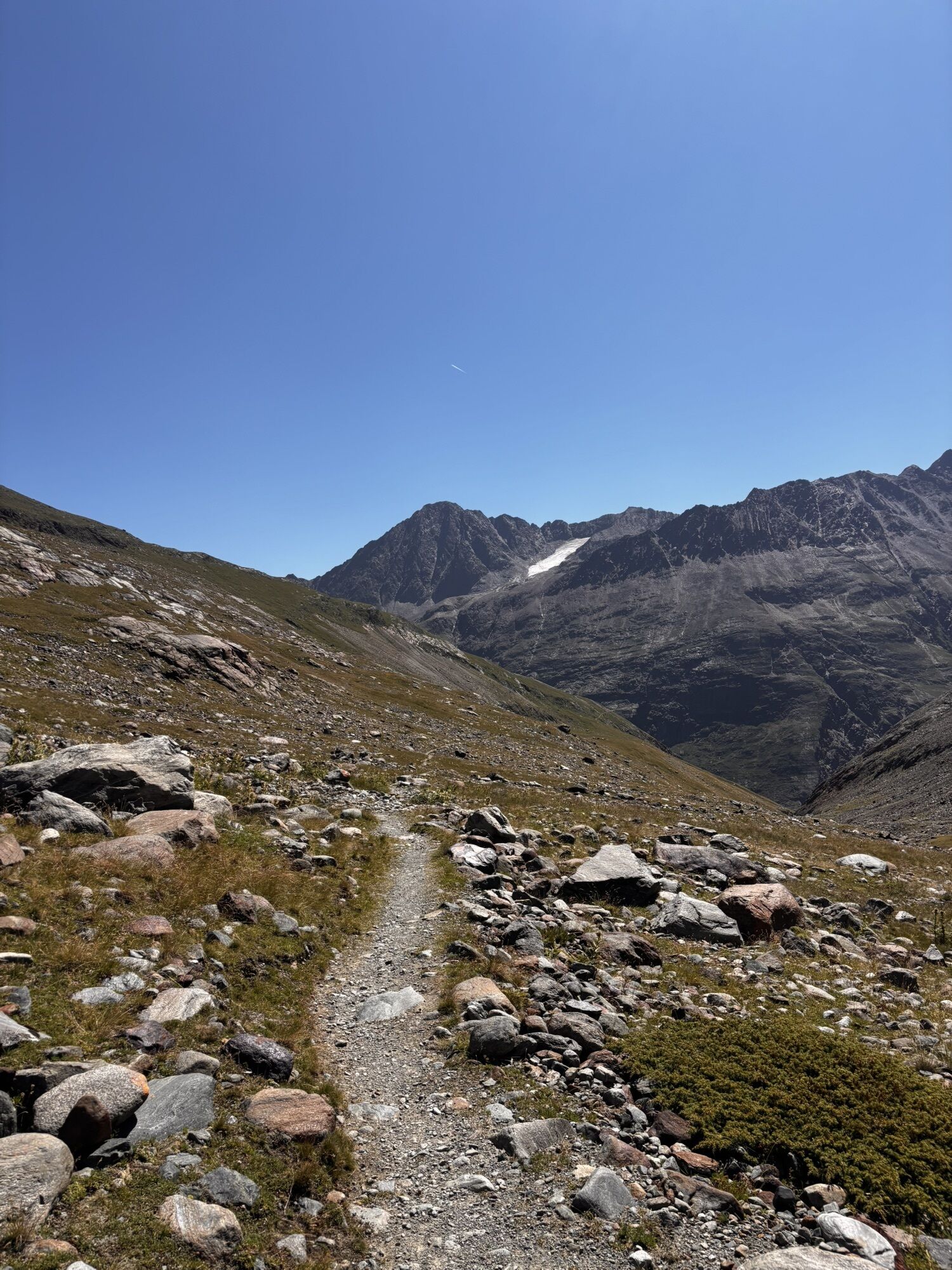
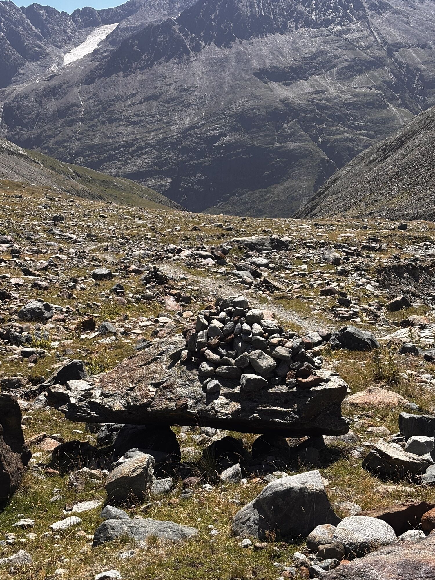
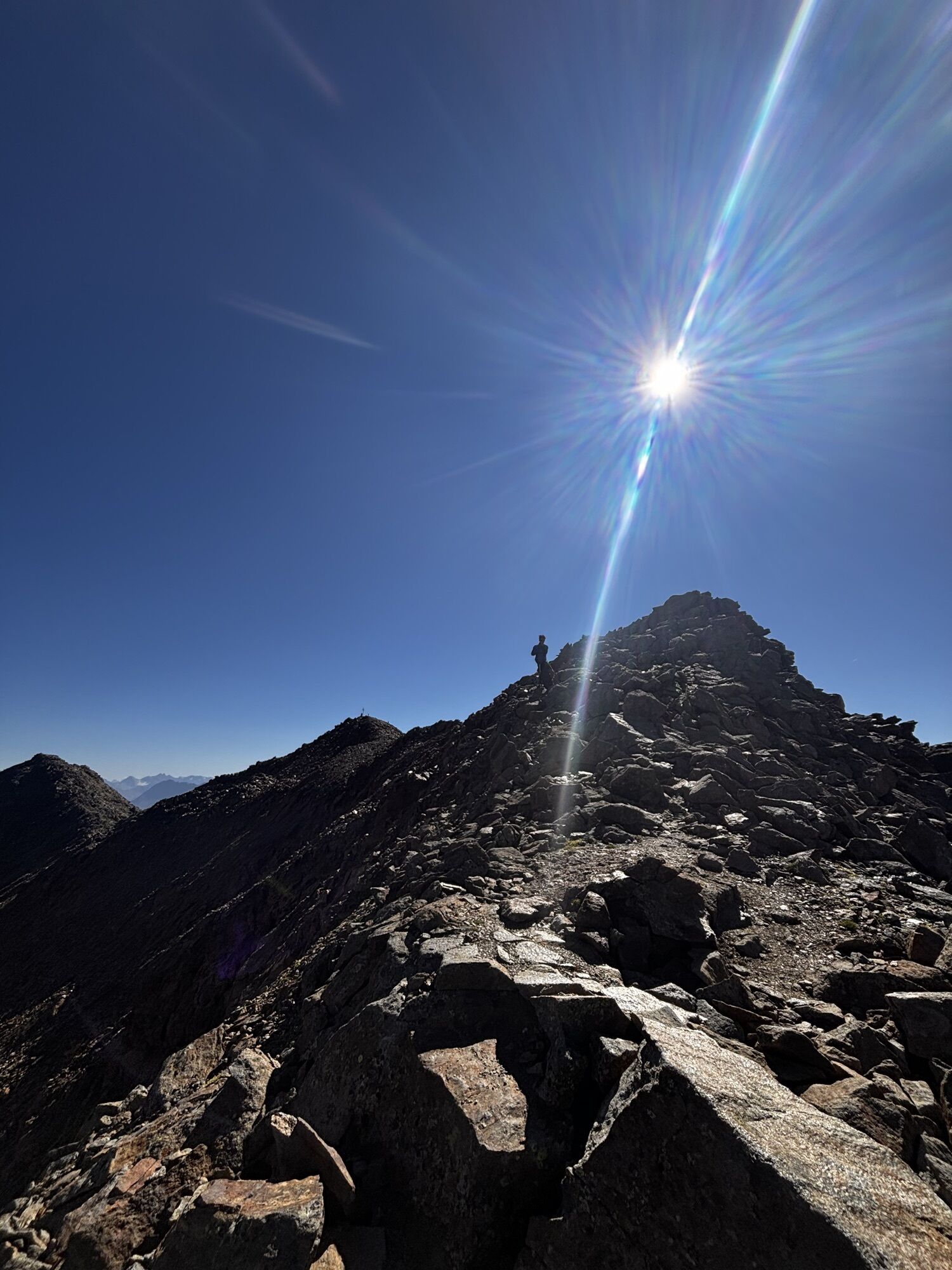
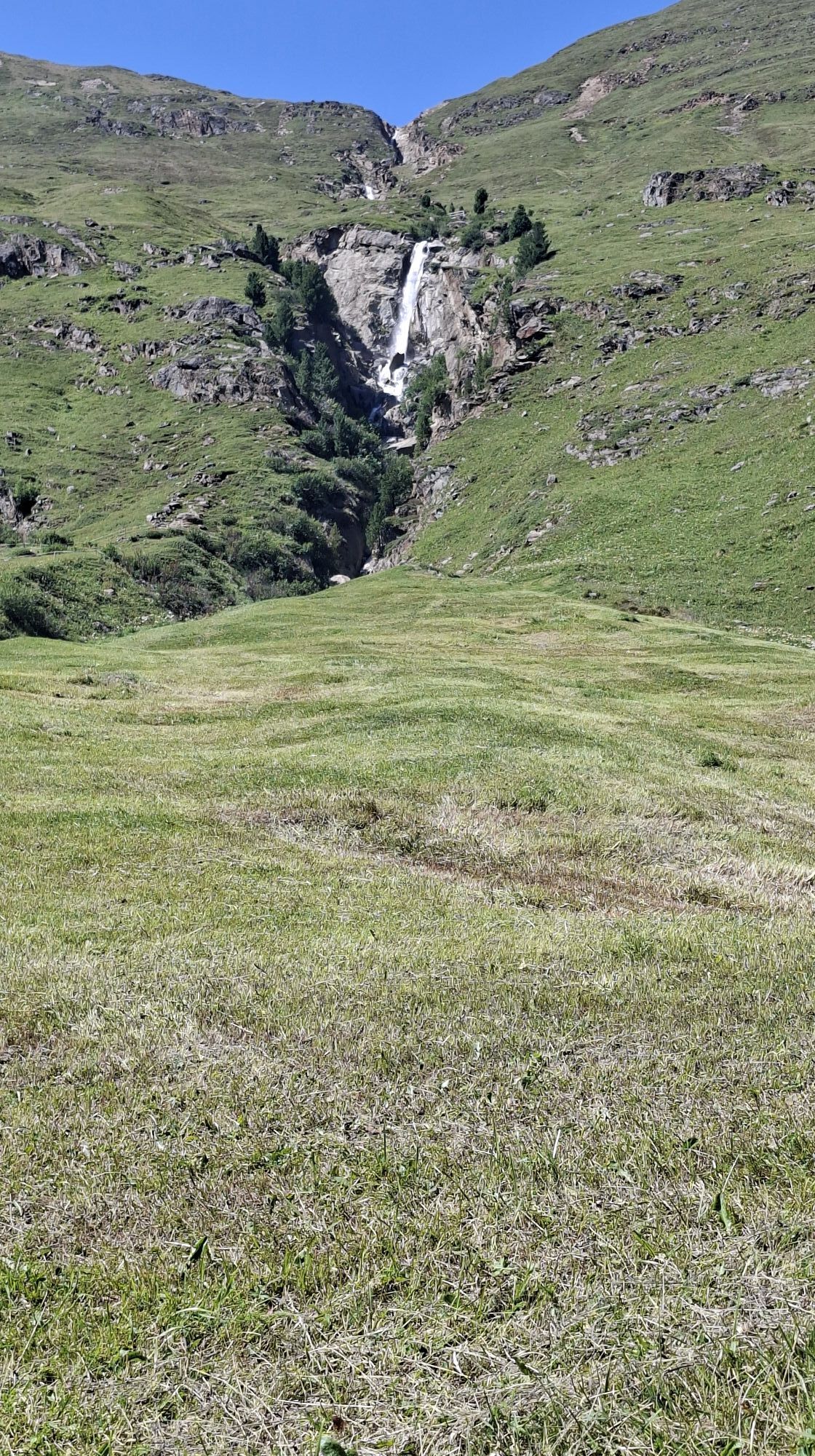
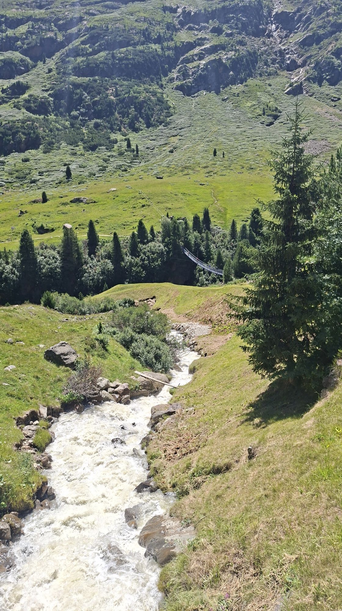
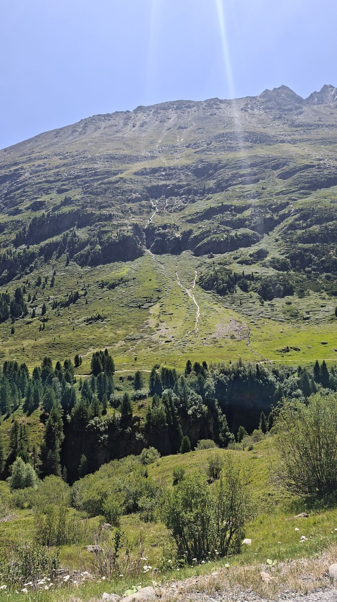
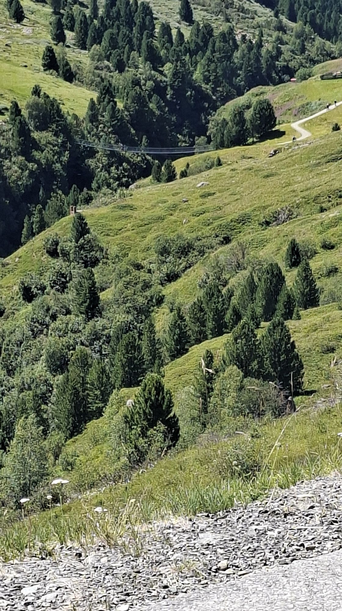
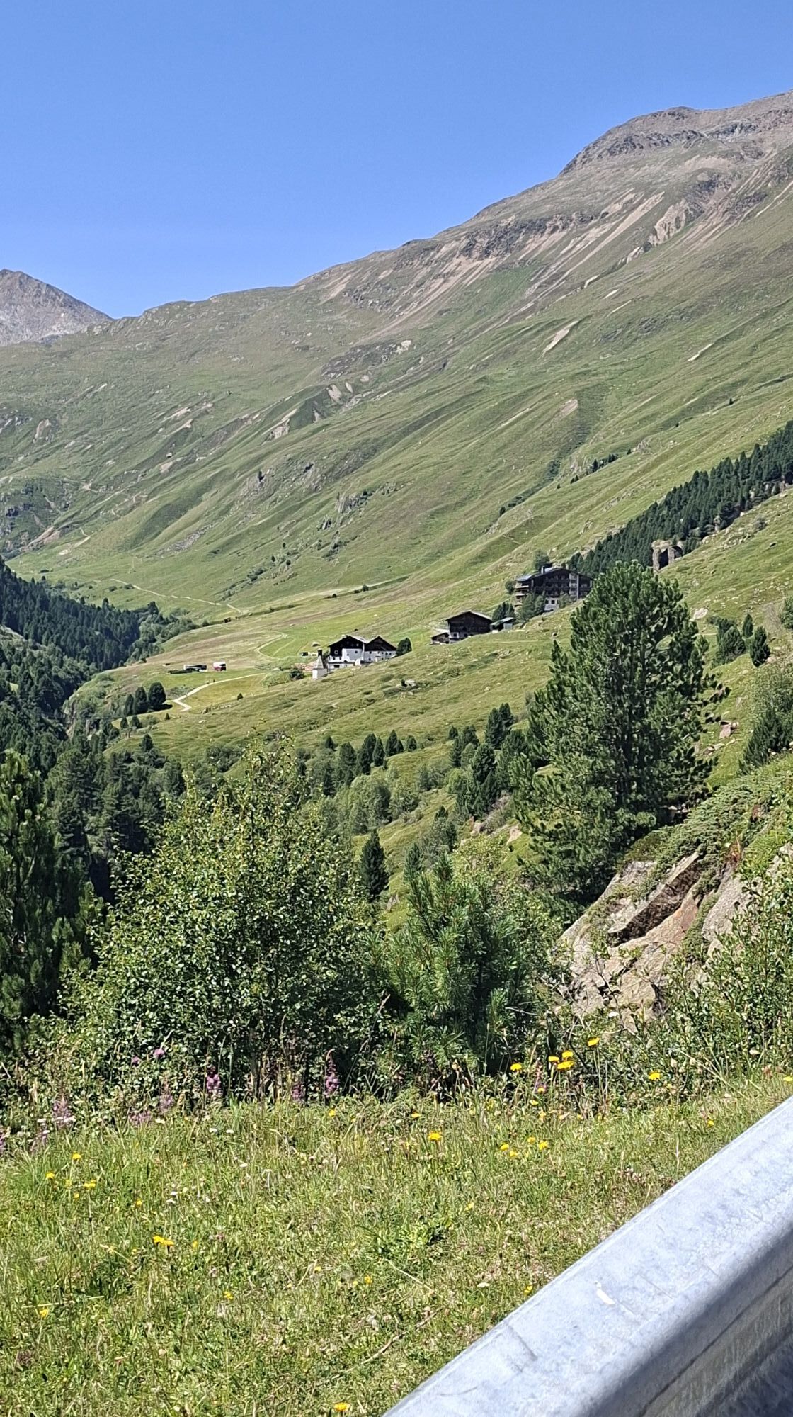
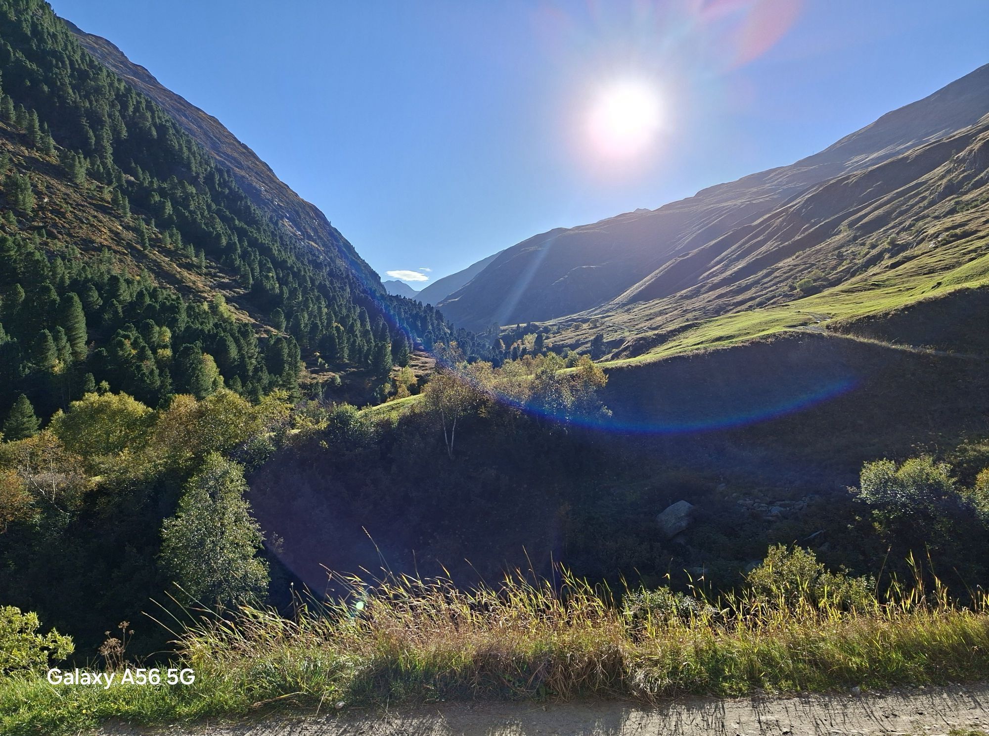
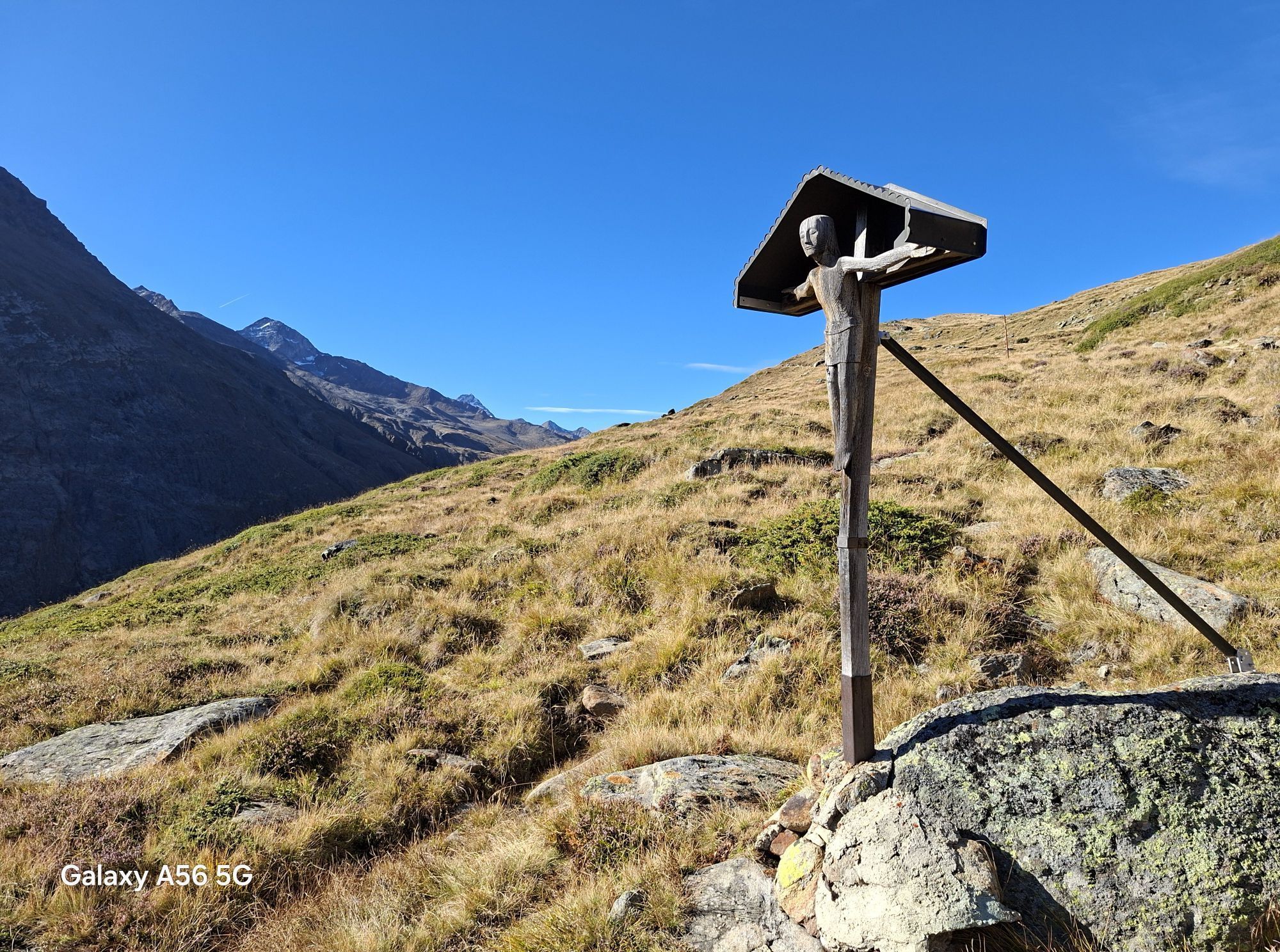
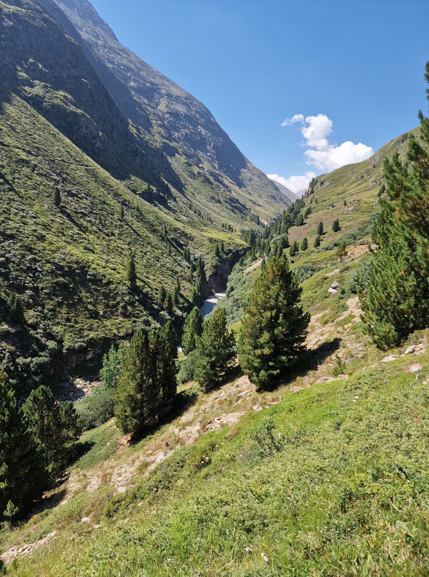
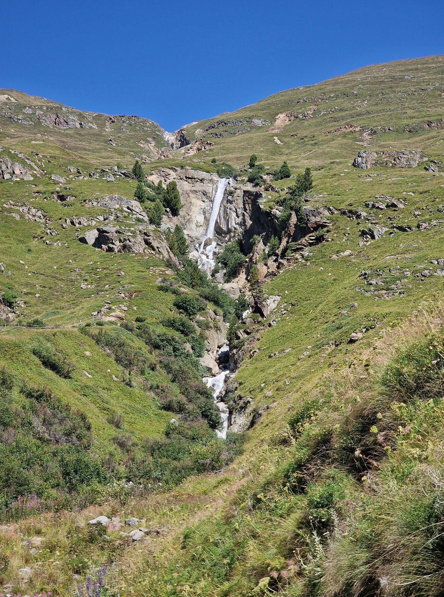
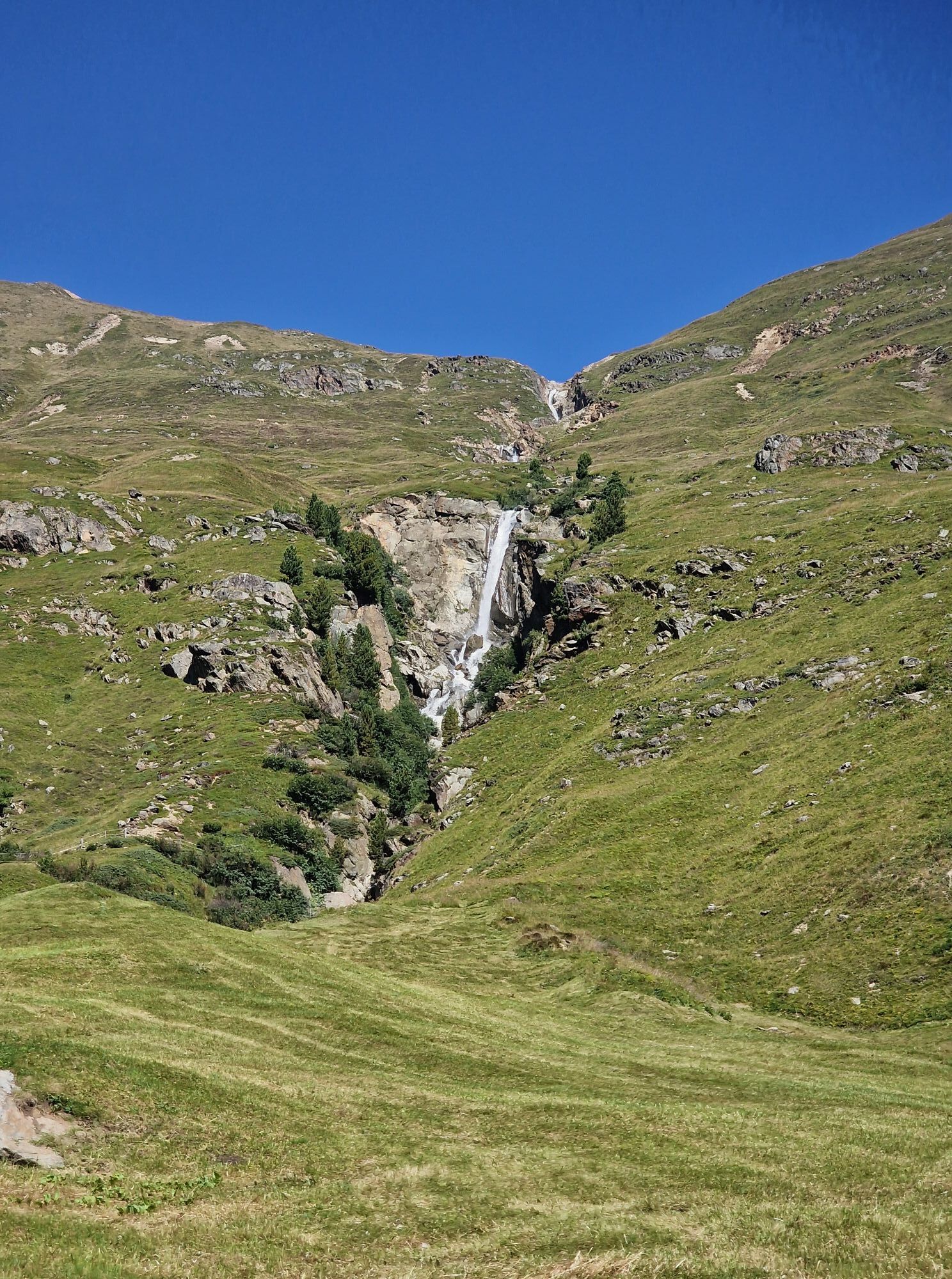
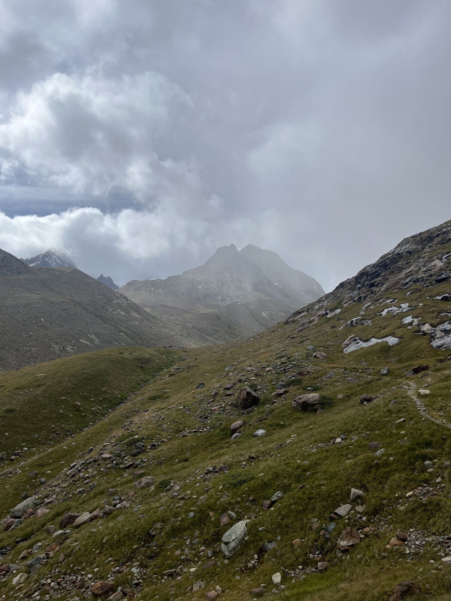
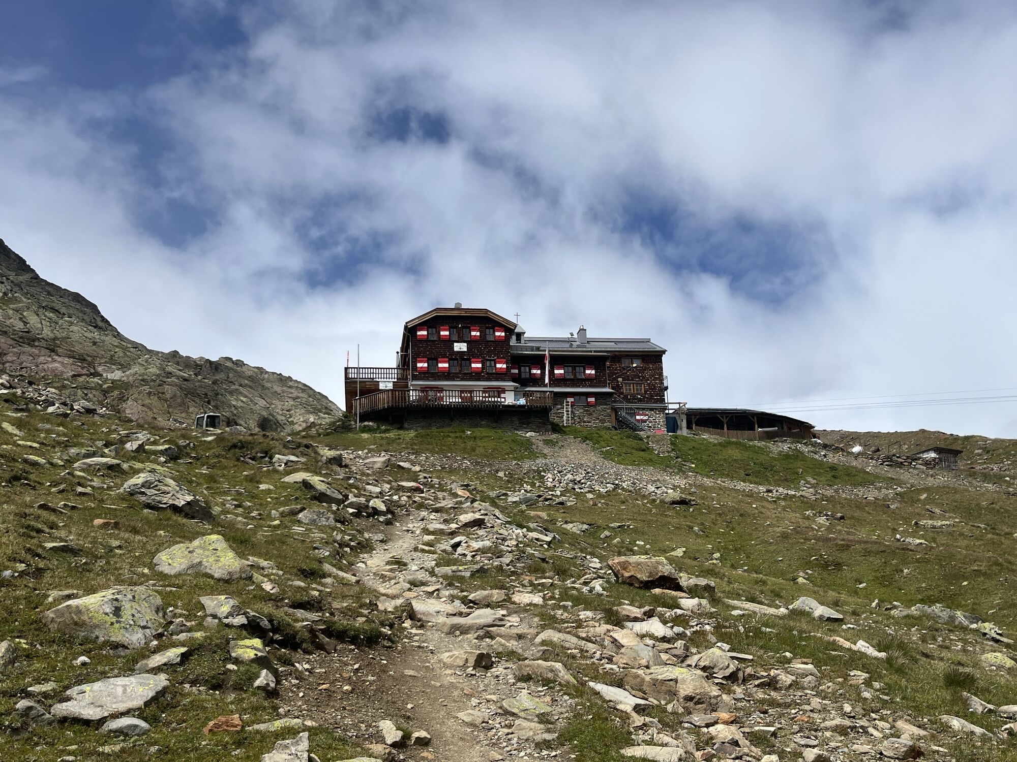
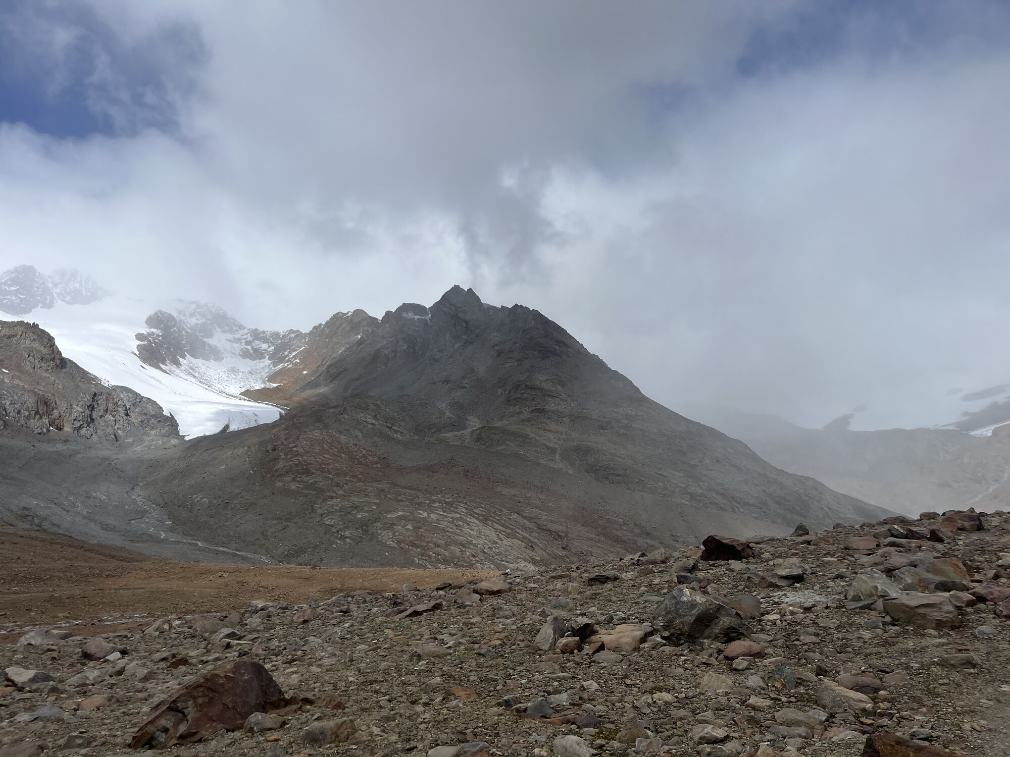
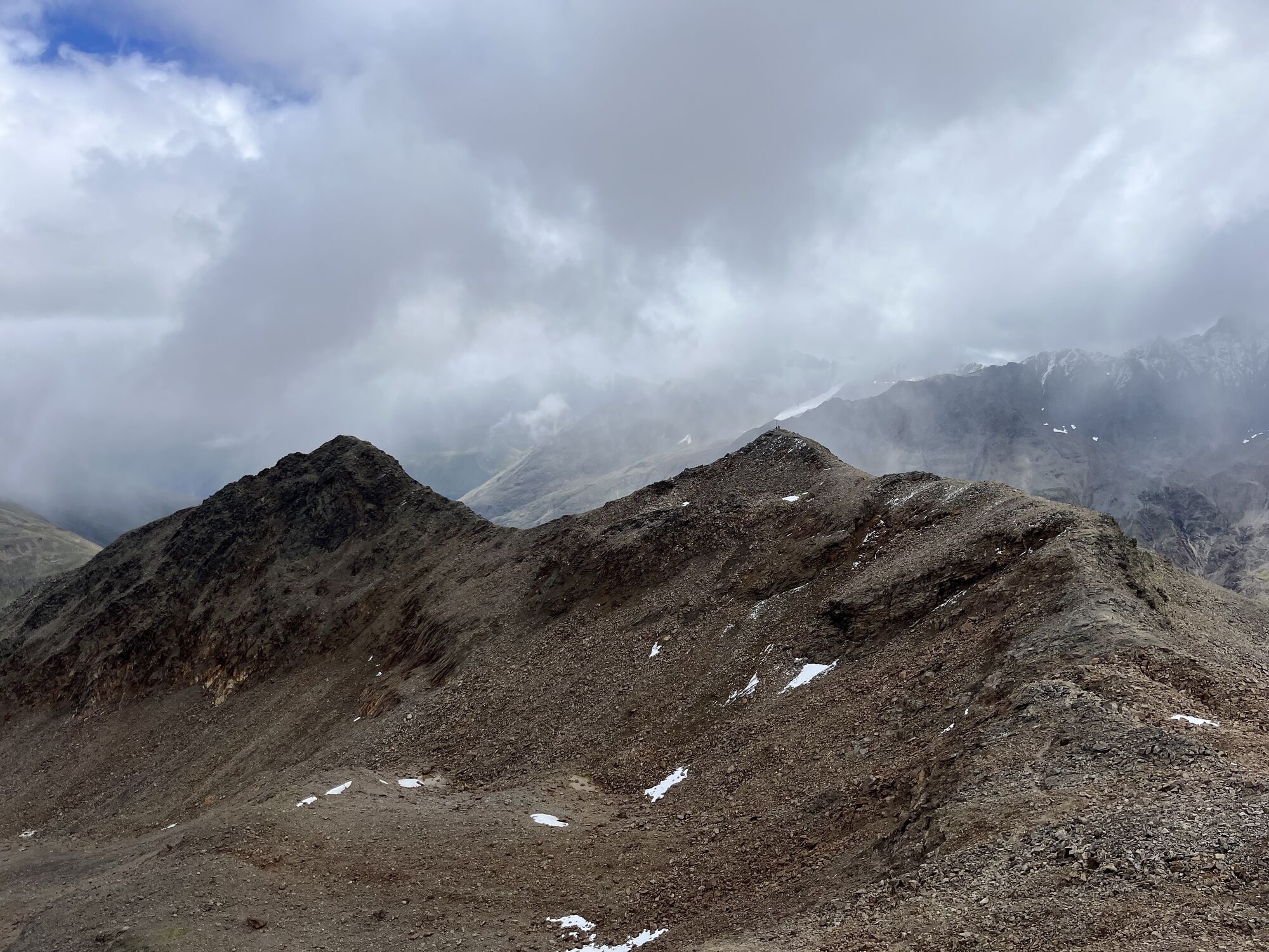
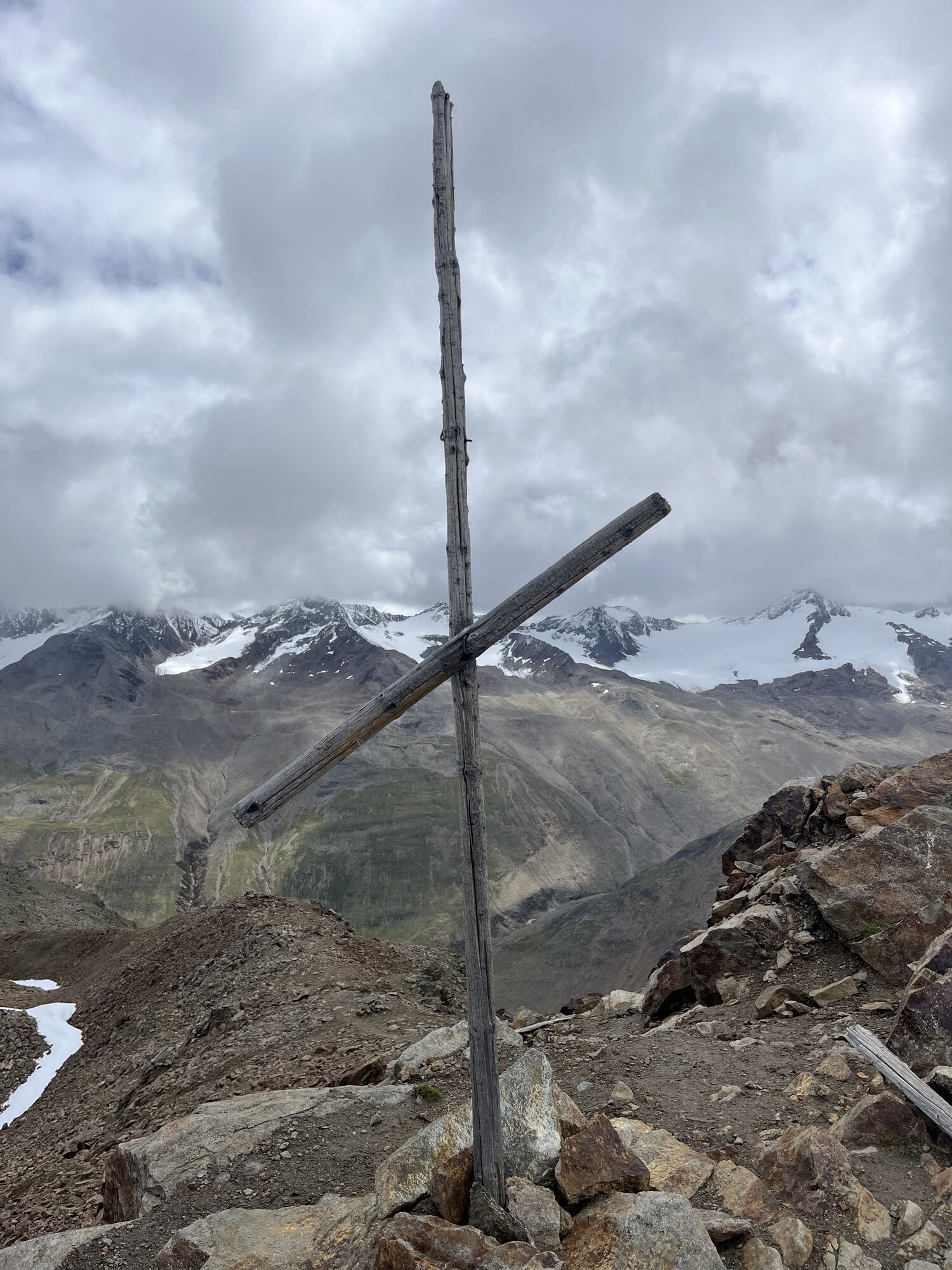
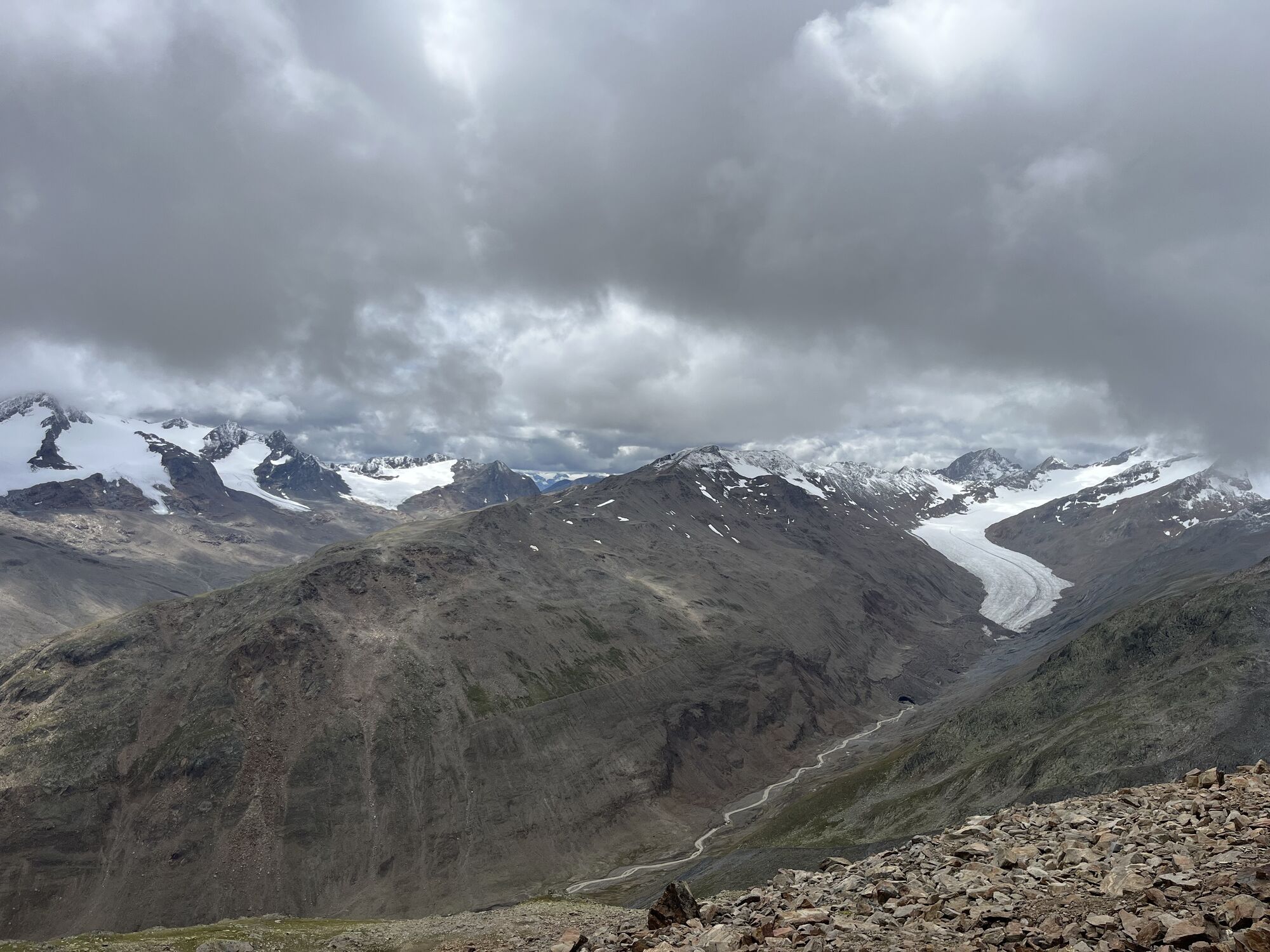
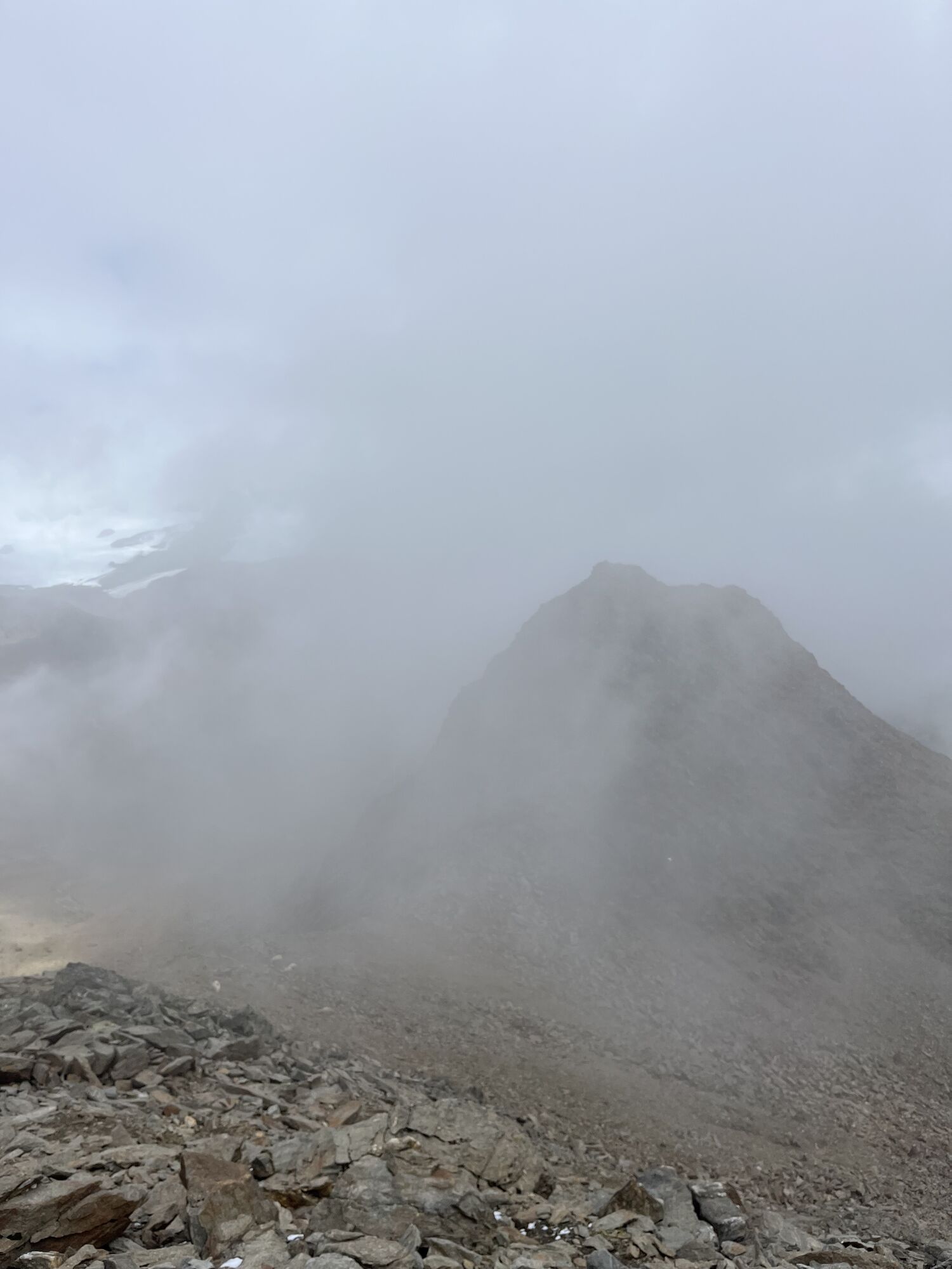
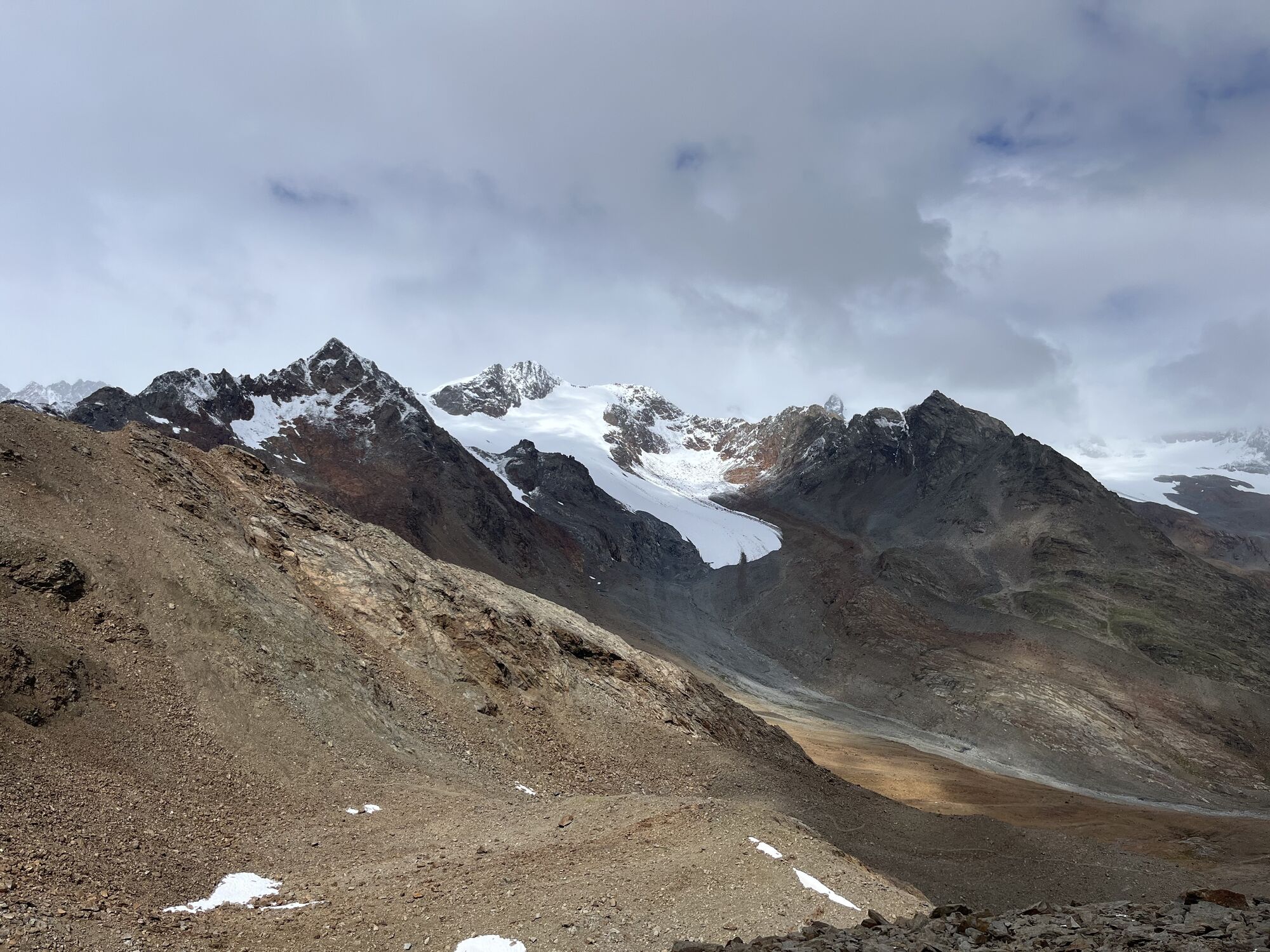
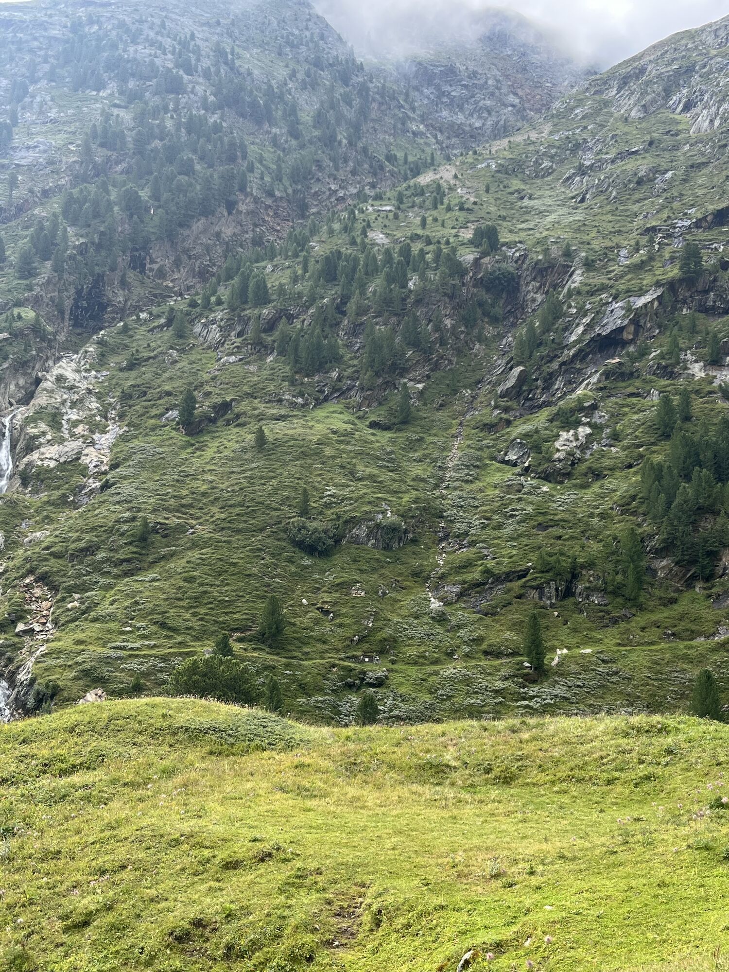
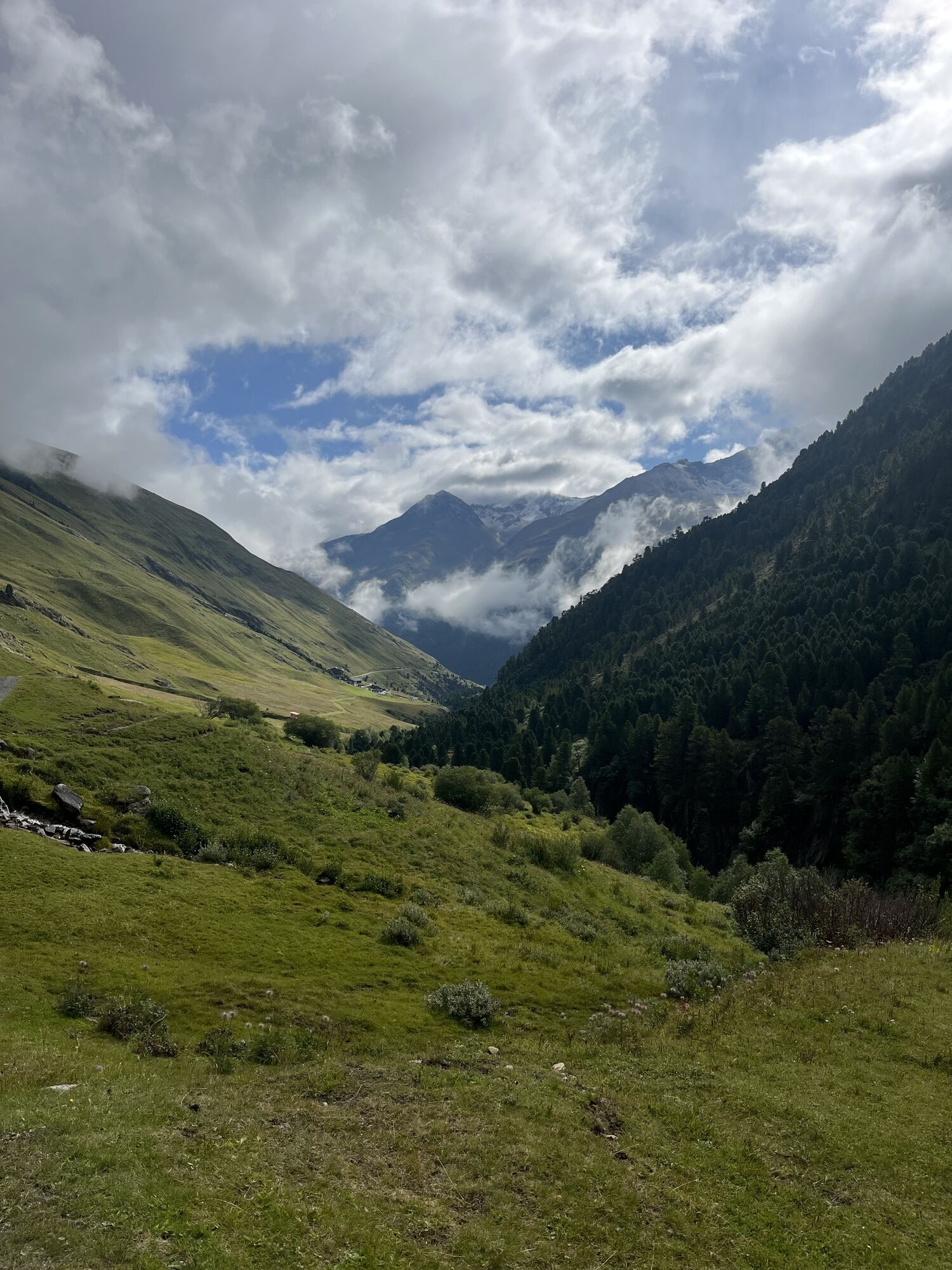
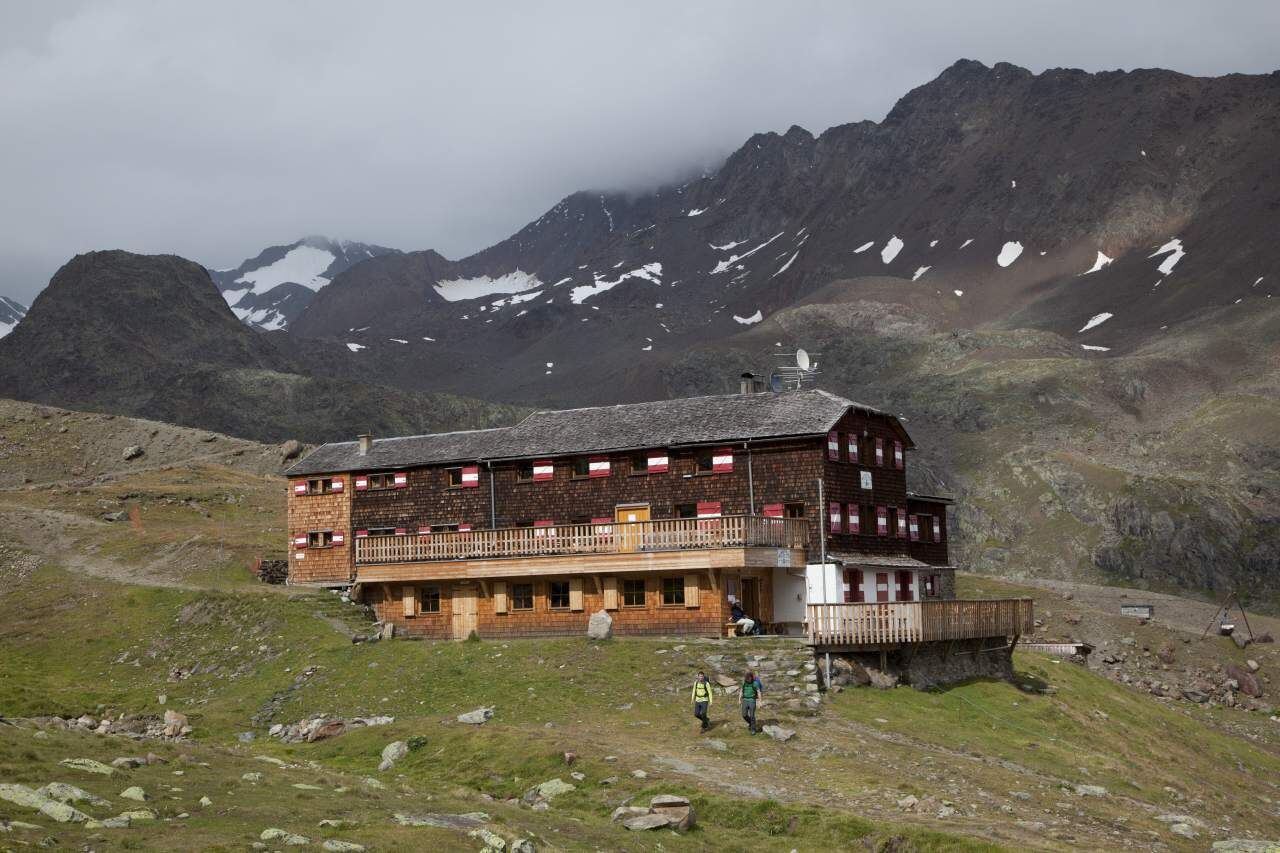
From Vent across the meadows and the suspension bridge to Rofen, further to the material cable car of the Vernagthütte, from there a moderately steep ascent leads over the Platteiberg and the Vernagtbach valley to the hut. From the Vernagthütte on the hut approach path a few meters down to the south and after the first terrain corner to the right at the signposted junction further southwards down to the glacier stream. Over a bridge and keeping right upwards in the wide basin. Shortly afterwards left in switchbacks to a wide moraine ridge and along this always slightly ascending southwards into the wide cirque between the Rear and Front Guslarspitze. Steeply up a scree slope into the saddle between the Rear and Middle Guslarspitze, then keeping left on the wide ridge ascending slightly eastwards to the wide summit dome with the large summit cross.

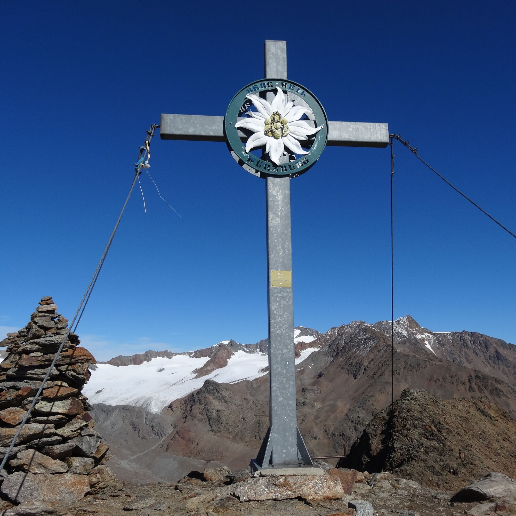
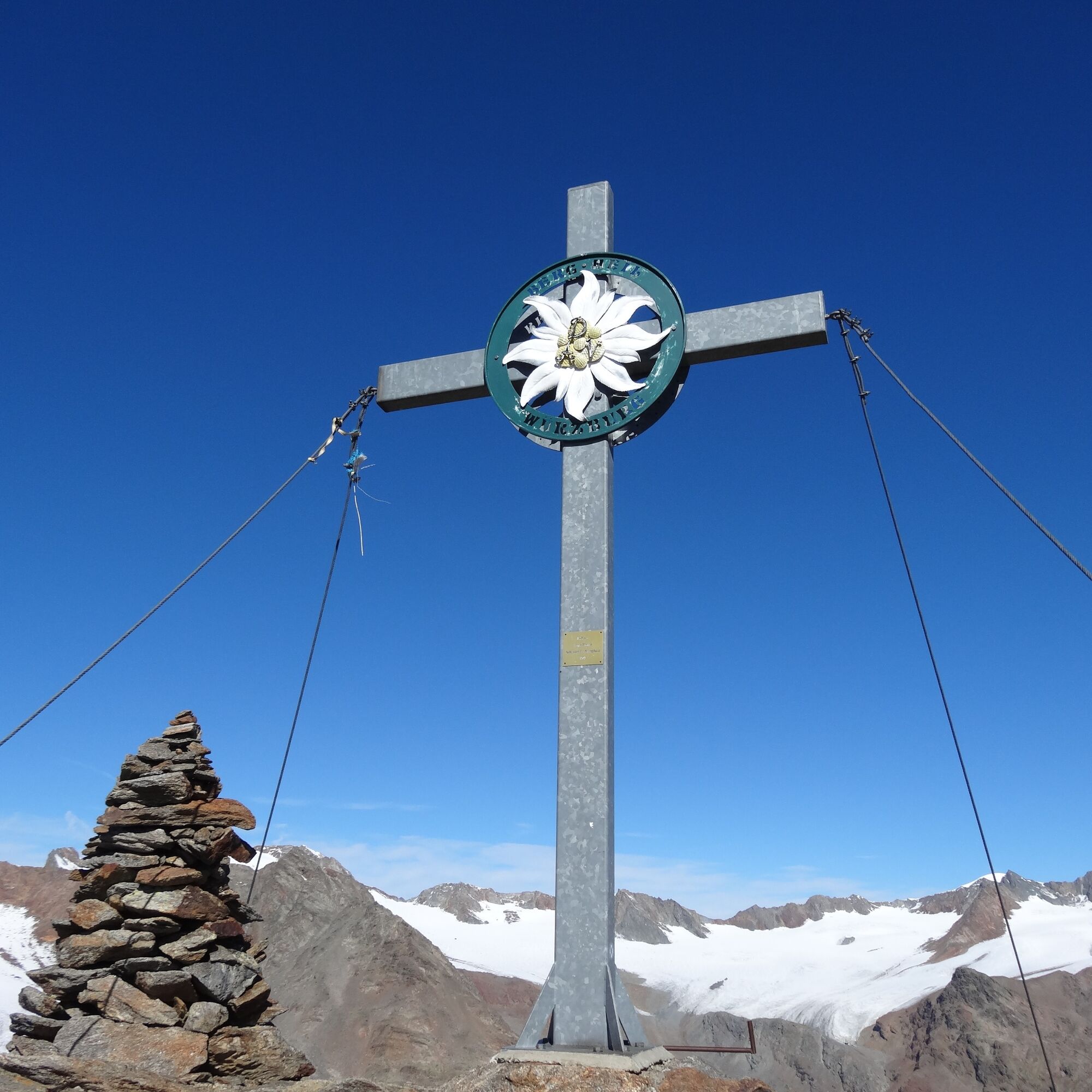

From Vent across the meadows and the suspension bridge to Rofen, further to the material cable car of the Vernagthütte, from there a moderately steep ascent leads over the Platteiberg and the Vernagtbach valley to the hut. From the Vernagthütte on the hut approach path a few meters down to the south and after the first terrain corner to the right at the signposted junction further southwards down to the glacier stream. Over a bridge and keeping right upwards in the wide basin. Shortly afterwards left in switchbacks to a wide moraine ridge and along this always slightly ascending southwards into the wide cirque between the Rear and Front Guslarspitze. Steeply up a scree slope into the saddle between the Rear and Middle Guslarspitze, then keeping left on the wide ridge ascending slightly eastwards to the wide summit dome with the large summit cross.
Áno
Appropriate equipment such as breathable and weather-appropriate outdoor clothing, ankle-high hiking boots, wind, rain and sun protection, hat, possibly gloves, is required for all hikes and routes. Bringing a first aid kit, a mobile phone, and possibly a hiking map, as well as sufficient provisions for hikes without dining options, is necessary.
Moderate mountain path; suitable for sure-footed and experienced mountain hikers; good physical condition, mountain experience, and mountain equipment (see under Equipment) are necessary. Please observe the current weather report at: www.oetztal.com/en/summer.html
Car travel to the ÖTZTAL. Located in Tyrol, the Ötztal branches off towards the south as the longest side valley of the Eastern Alps. Traveling by car takes visitors via the Inn Valley to the entrance of the valley and further along the Ötztal. Besides the toll motorway, country roads can also be used. With the route planner, your trip can be determined quickly and conveniently: To the route planner: https://www.google.at/maps
Travel comfortably and safely by train to the Ötztal train station. The final stop or exit point is the ÖTZTAL train station. Afterwards, you can travel conveniently and quickly by public transport or local taxi companies through the entire valley to your desired destination! The current bus schedule can be found at: http://fahrplan.vvt.at
In the mountaineering village Vent, the following parking options are available to you.
- In summer, in front of the village (parking meter, coins or EC card only) and at the valley station of the chairlift (at the mountain railways ticket office)
- In winter only at the valley station of the chairlift.
Cost: € 5.00 per day/car
Reservation of hut sleeping places necessary!
Webové kamery z prehliadky
Získajte prehľad
Vždy naživo na mieste s viac ako 9 500 webovými kamerami. bergfex Ako používateľ Pro si teraz môžete pozrieť príslušné webové kamery pre mnohé zájazdy v aplikácii zájazdy z. Môžete si tak priamo prezerať aktuálne podmienky.

Obľúbené výlety v okolí
-
4,7
Vent - Kreuzspitze
Turistika 20,6 km -
4,2
Vorderkaser - Eishof / Texelgruppe
svetloTuristika 4,83 km -
4,5
Vent - Wilder Mann - Breslauer Hütte - Stableinalm
strednáTuristika 7,25 km -
4,8
Kurzras - Schöne Aussicht - ins hintere Eis
strednáTuristika 13,0 km -
4,4
Rundweg Vernagter See plus Einkehr Finailhof
strednáTuristika 8,73 km -
3,8
Breslauer Hut
strednáTuristika 4,75 km -
4,4
Hochtour Wildspitze, 3.768m
strednáVysoké turné 9,75 km -
4,1
Vernagt-Stausee (Seerundgang)
svetloTuristika 6,70 km -
3,5
Tiefenbachglacier - Mountaineering Village Vent
strednáTuristika 10,8 km -
4,8
Kurzras - Lazaunhütte - Kurzras
svetloTuristika 6,77 km
Turistika a stopovanie


Nenechajte si ujsť ponuky a inšpiráciu na ďalšiu dovolenku
Vaša e-mailová adresa bol pridaný do poštového zoznamu.





