


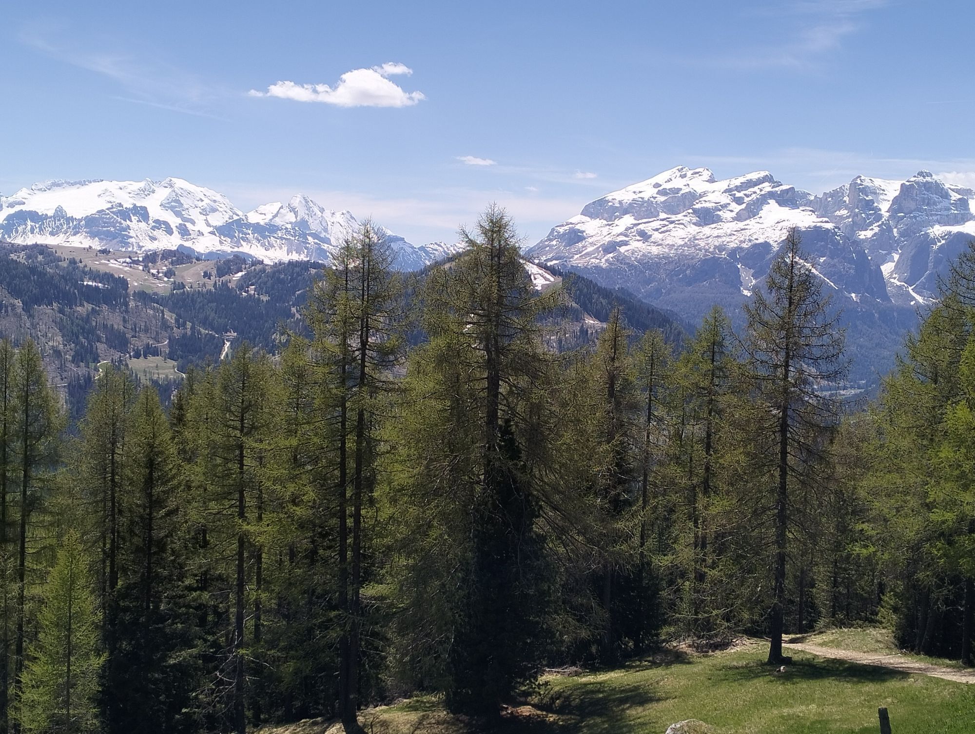
Maratona dles Dolomites
Úroveň náročnosti: 6
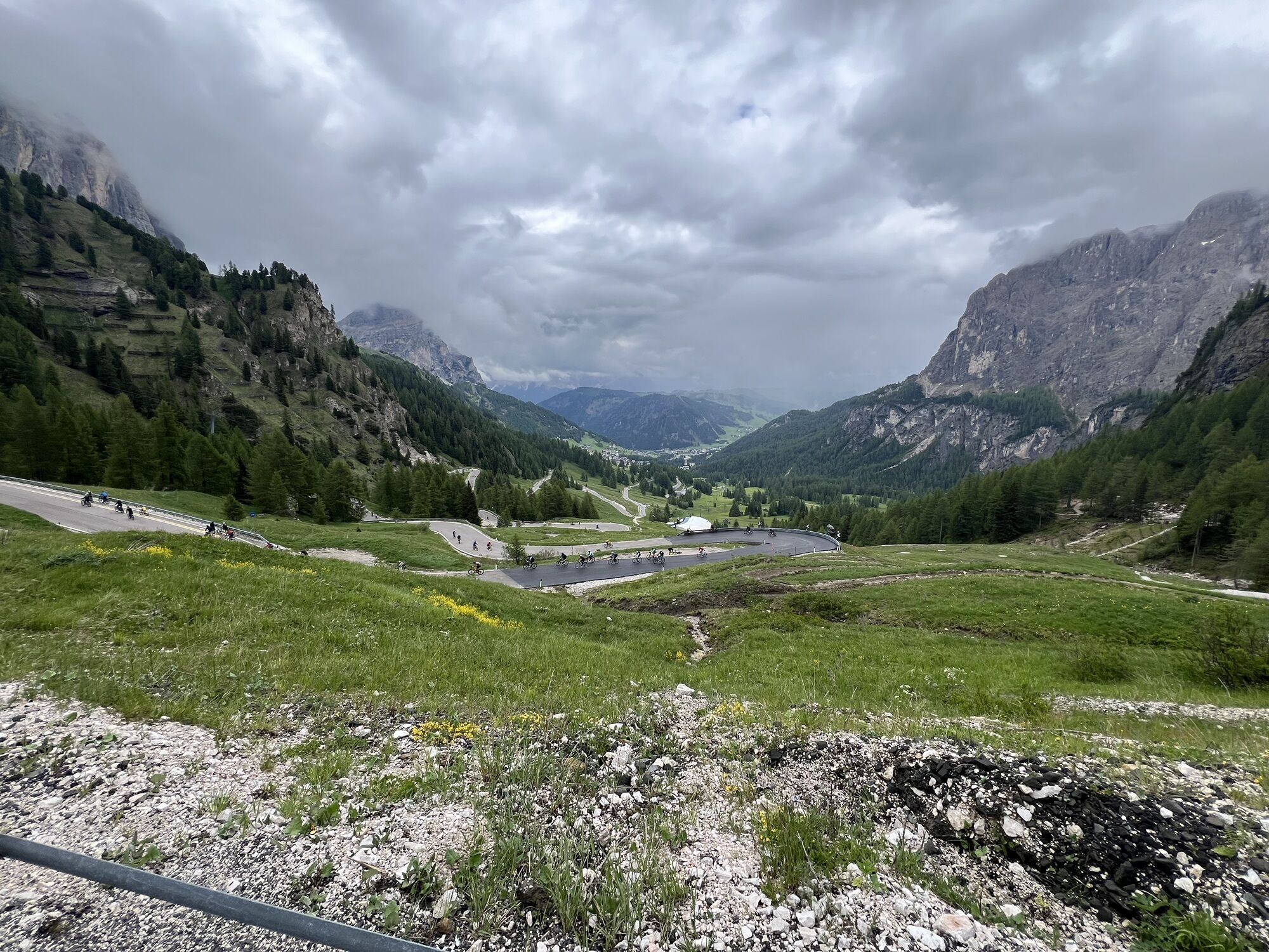

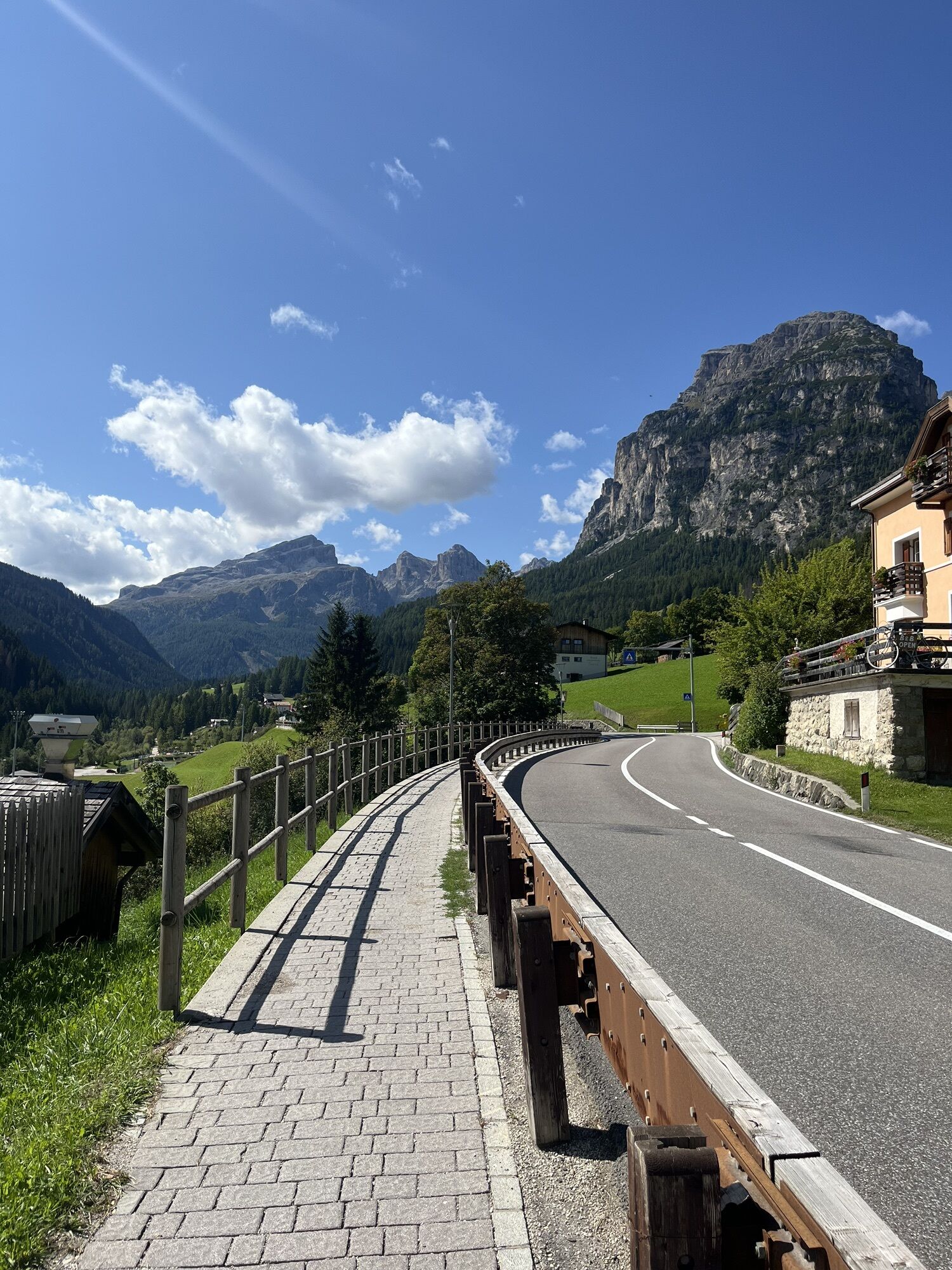
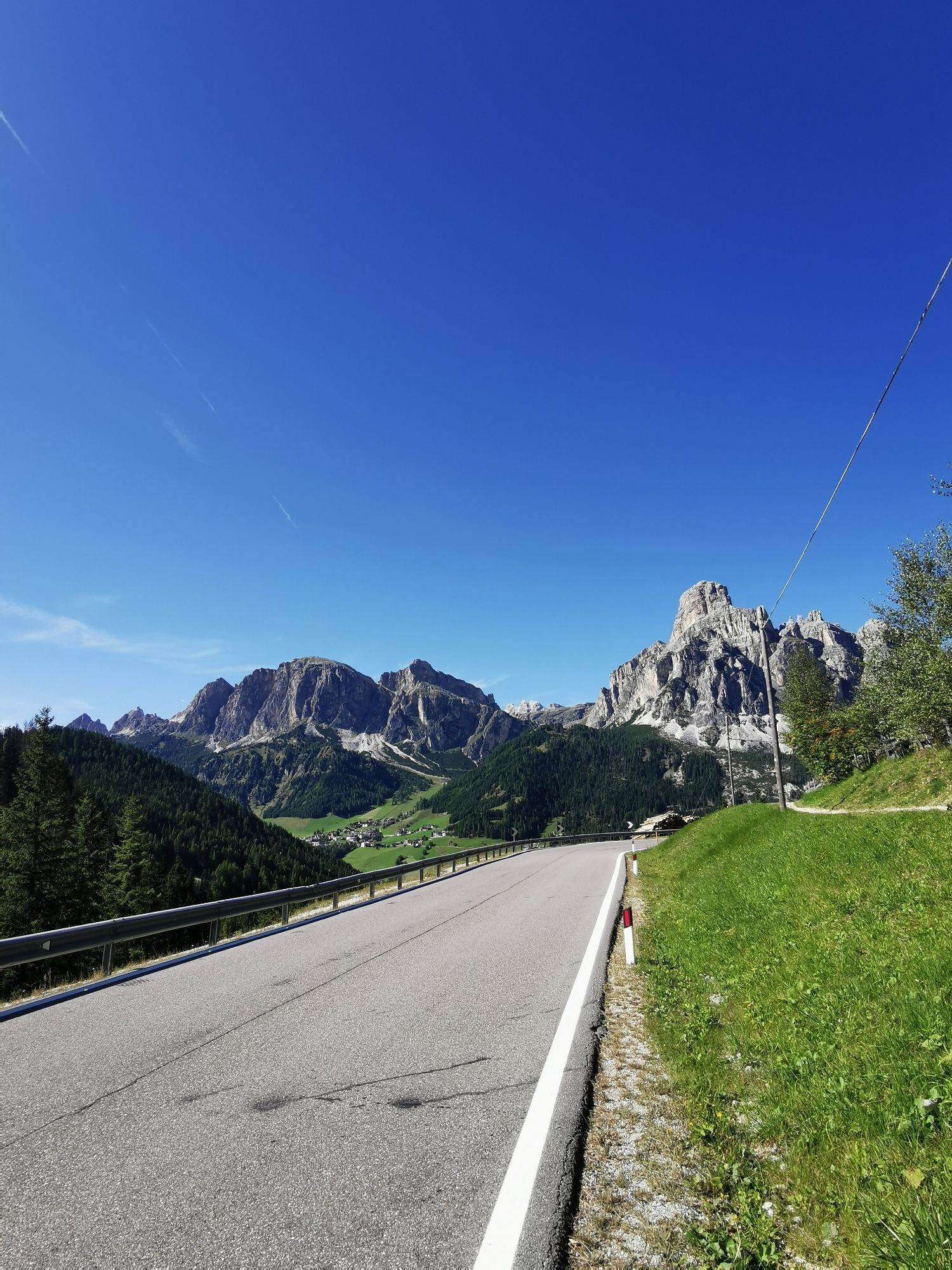
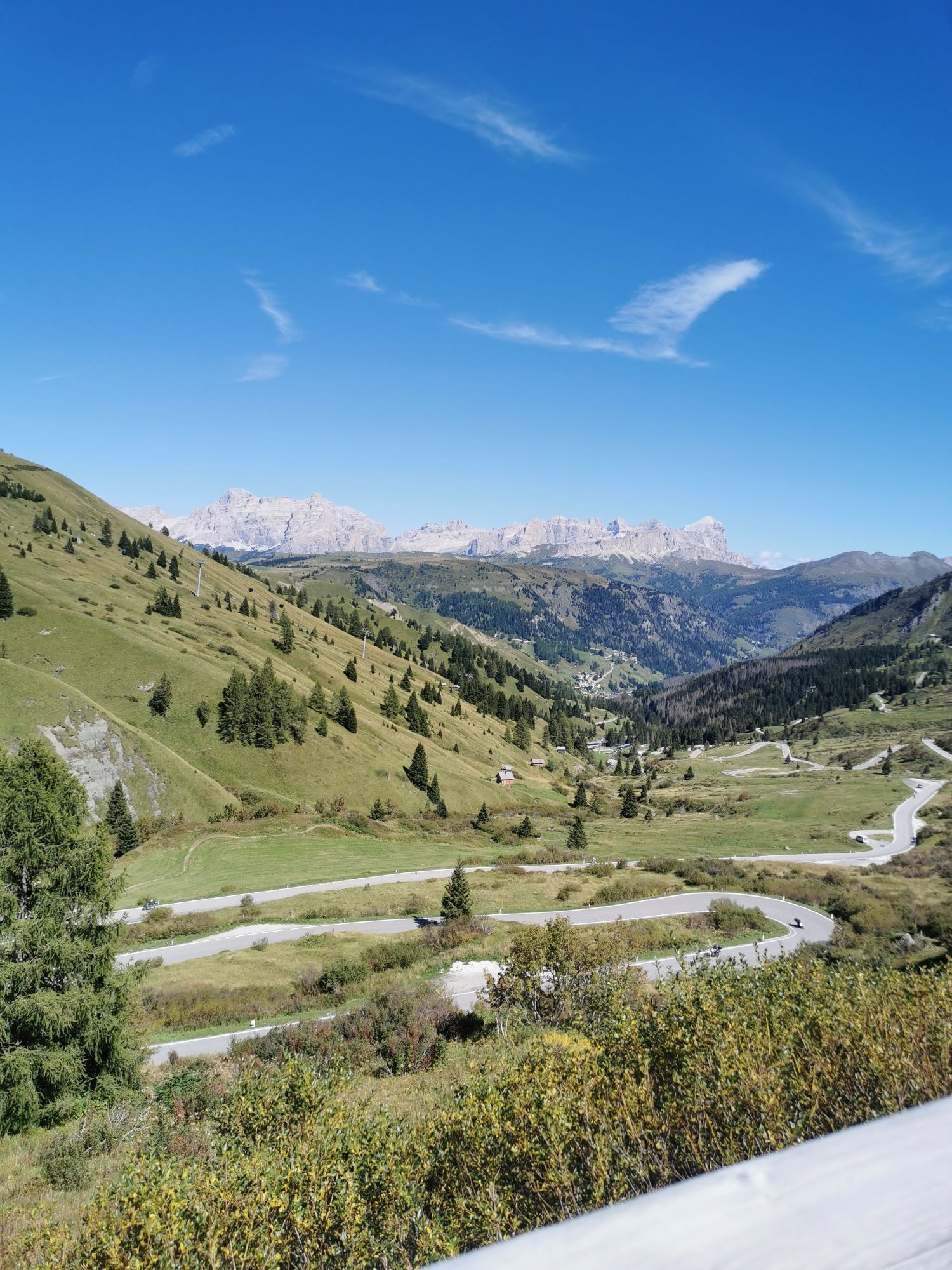
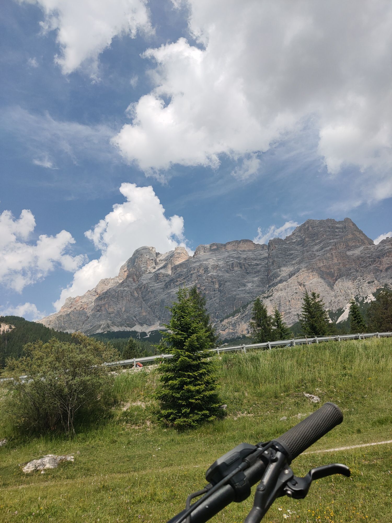

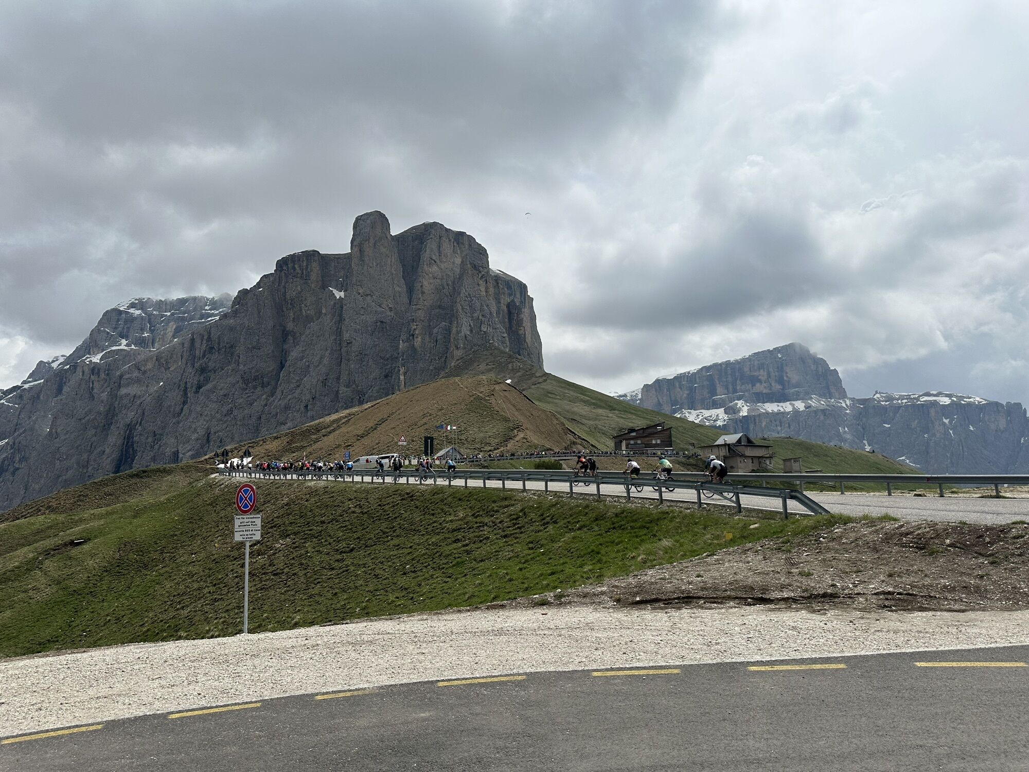
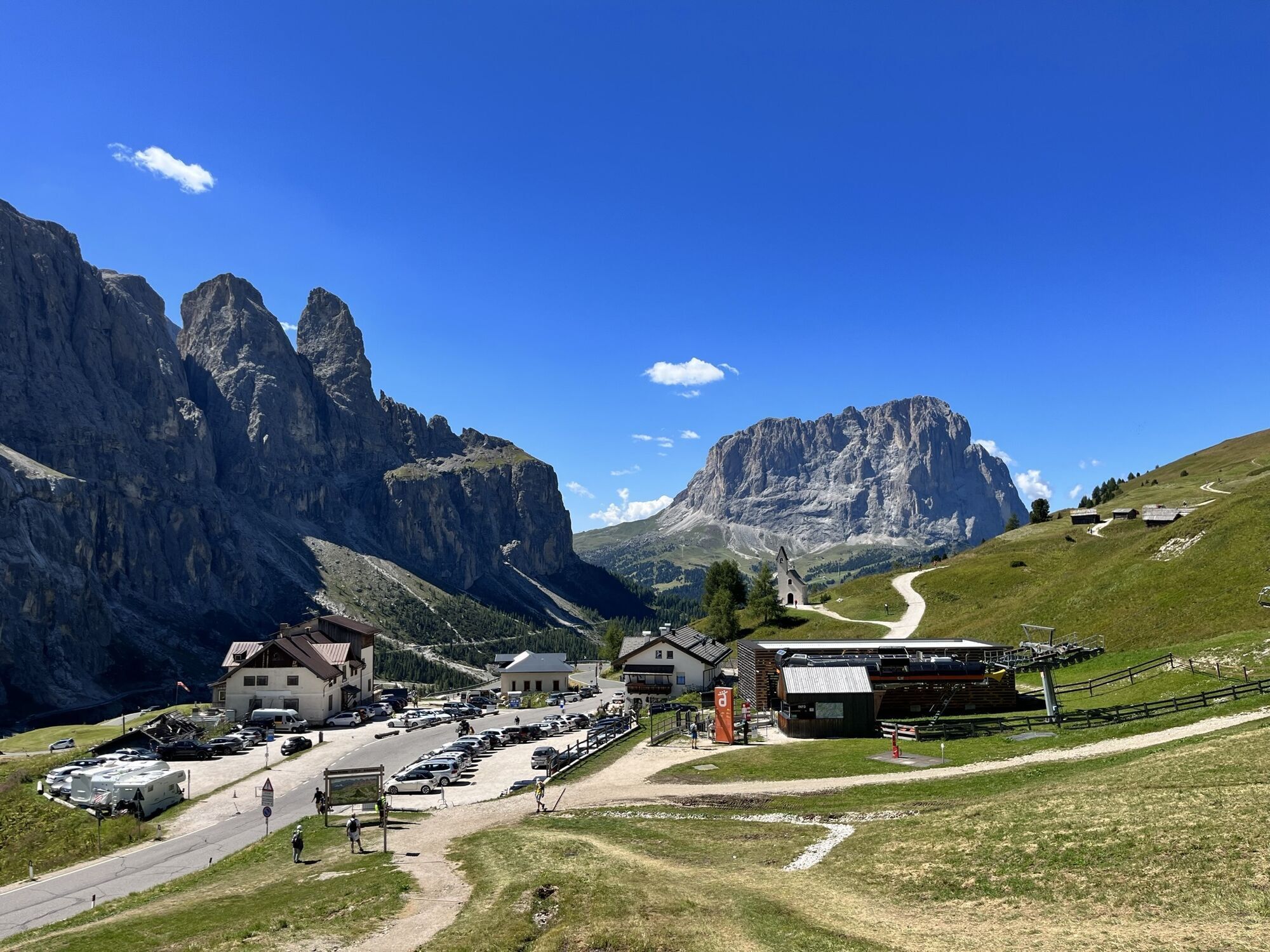
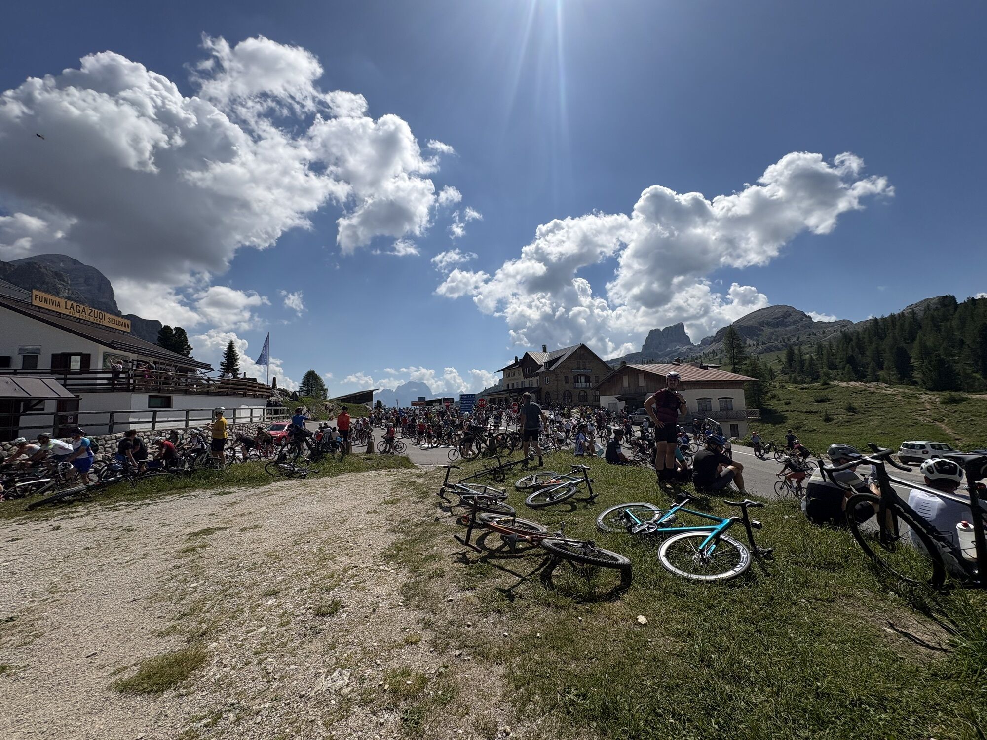

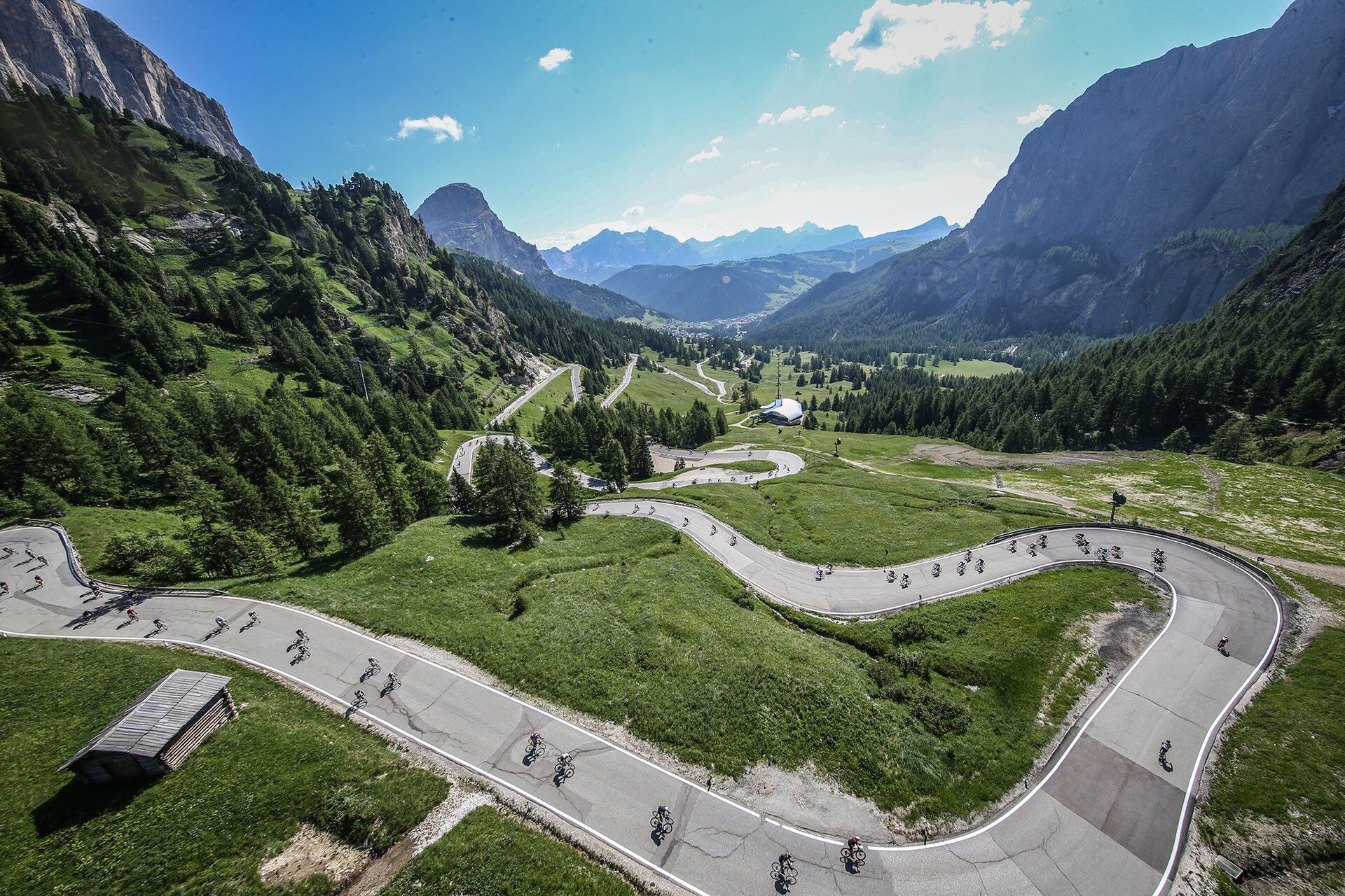
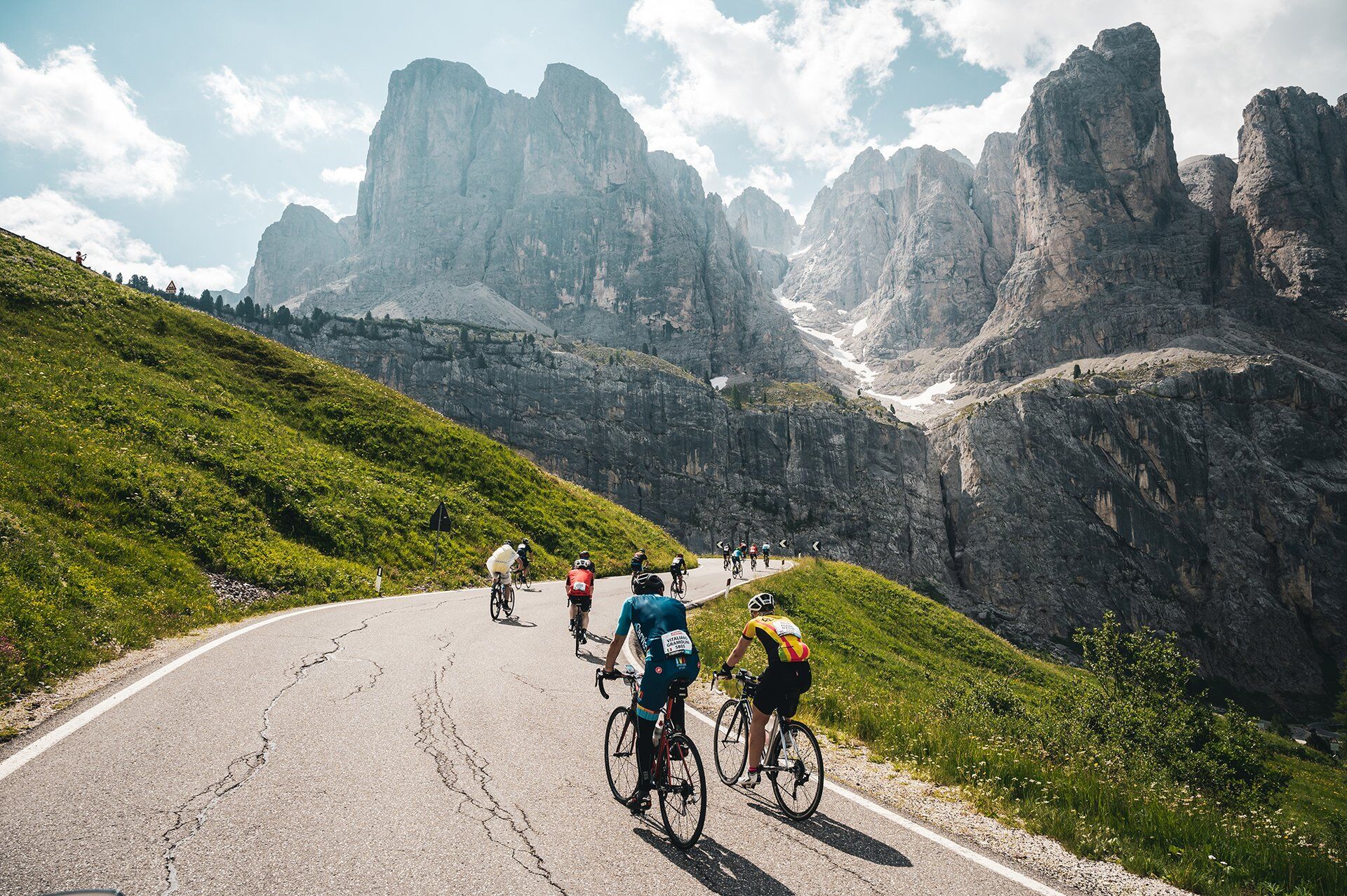
From Canazei, take the state road 48 (S.S. 48). There’s a total of 23 hairpin turns to deal with ‘till Sella Pass, that you reach after 12 km and 806 m of elevation gain (average gradient 6,9%, with stretches...
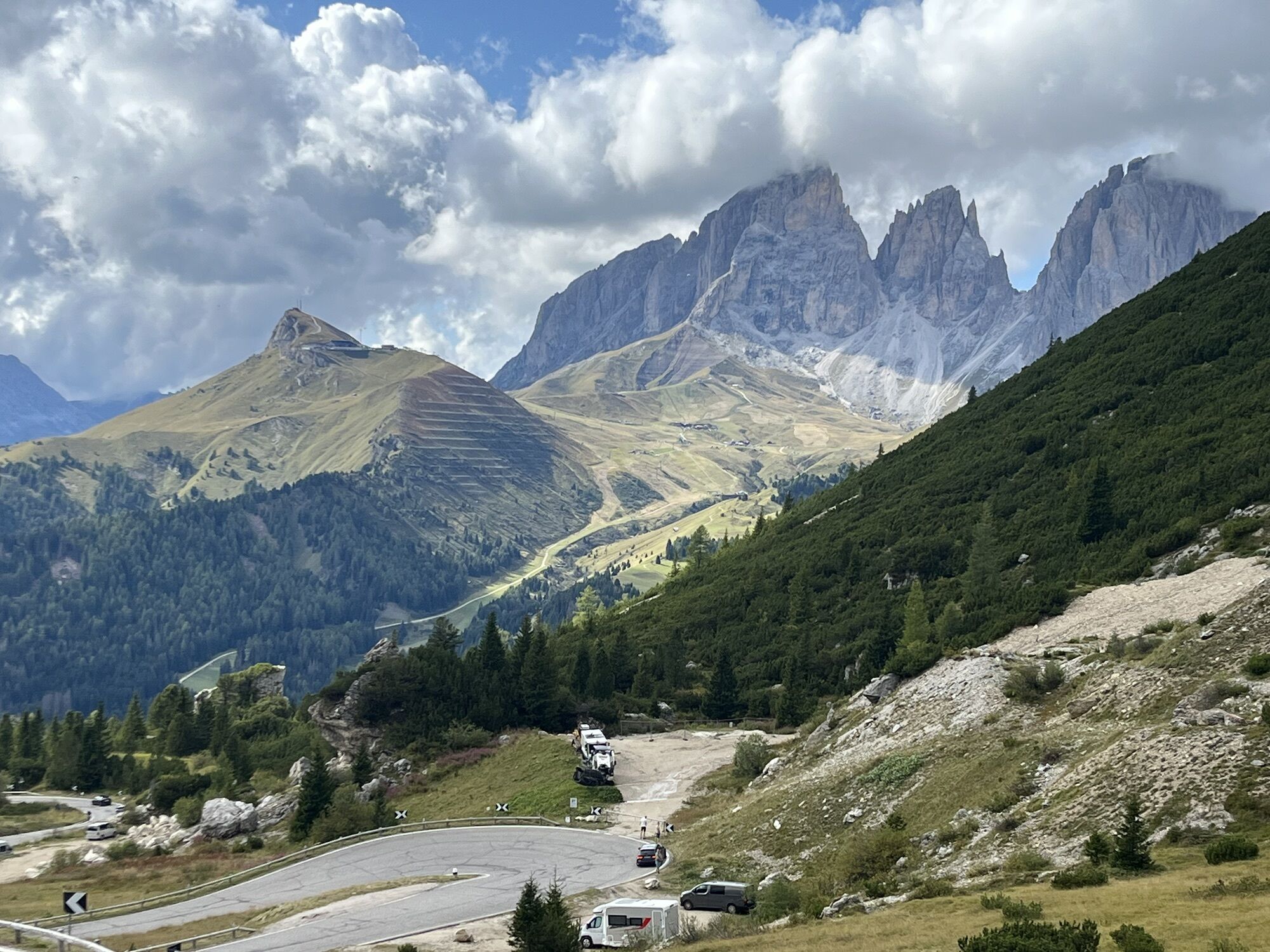
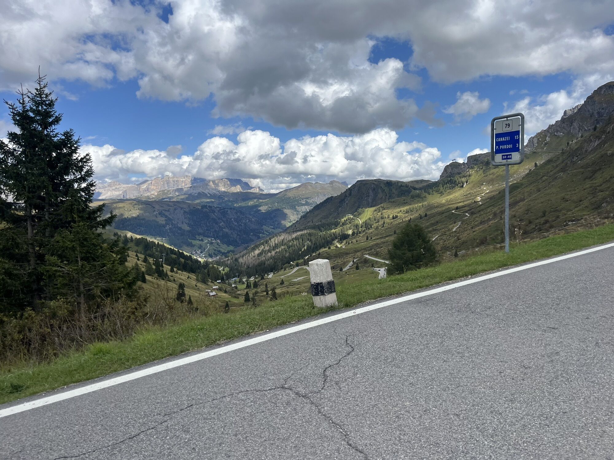
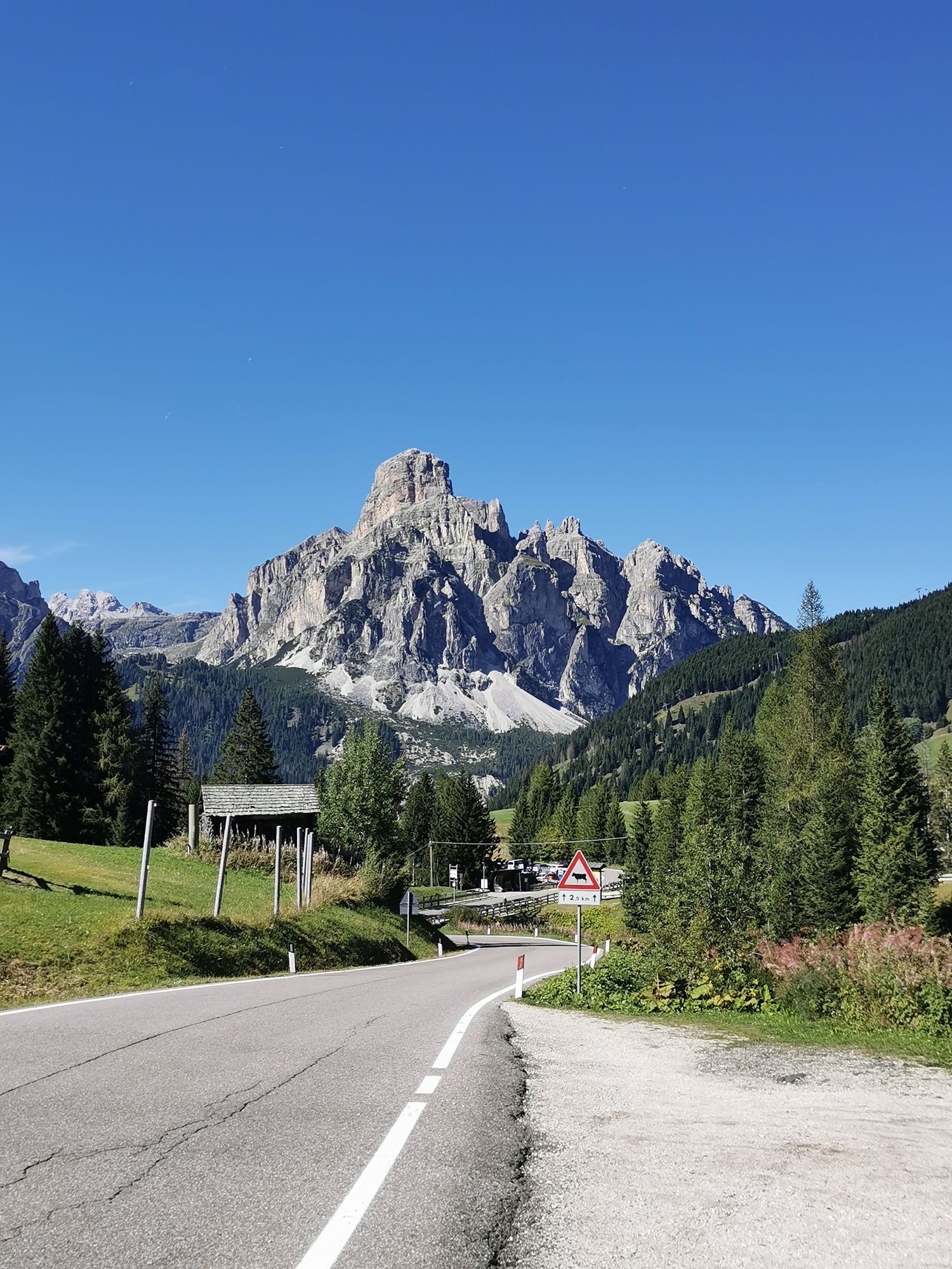
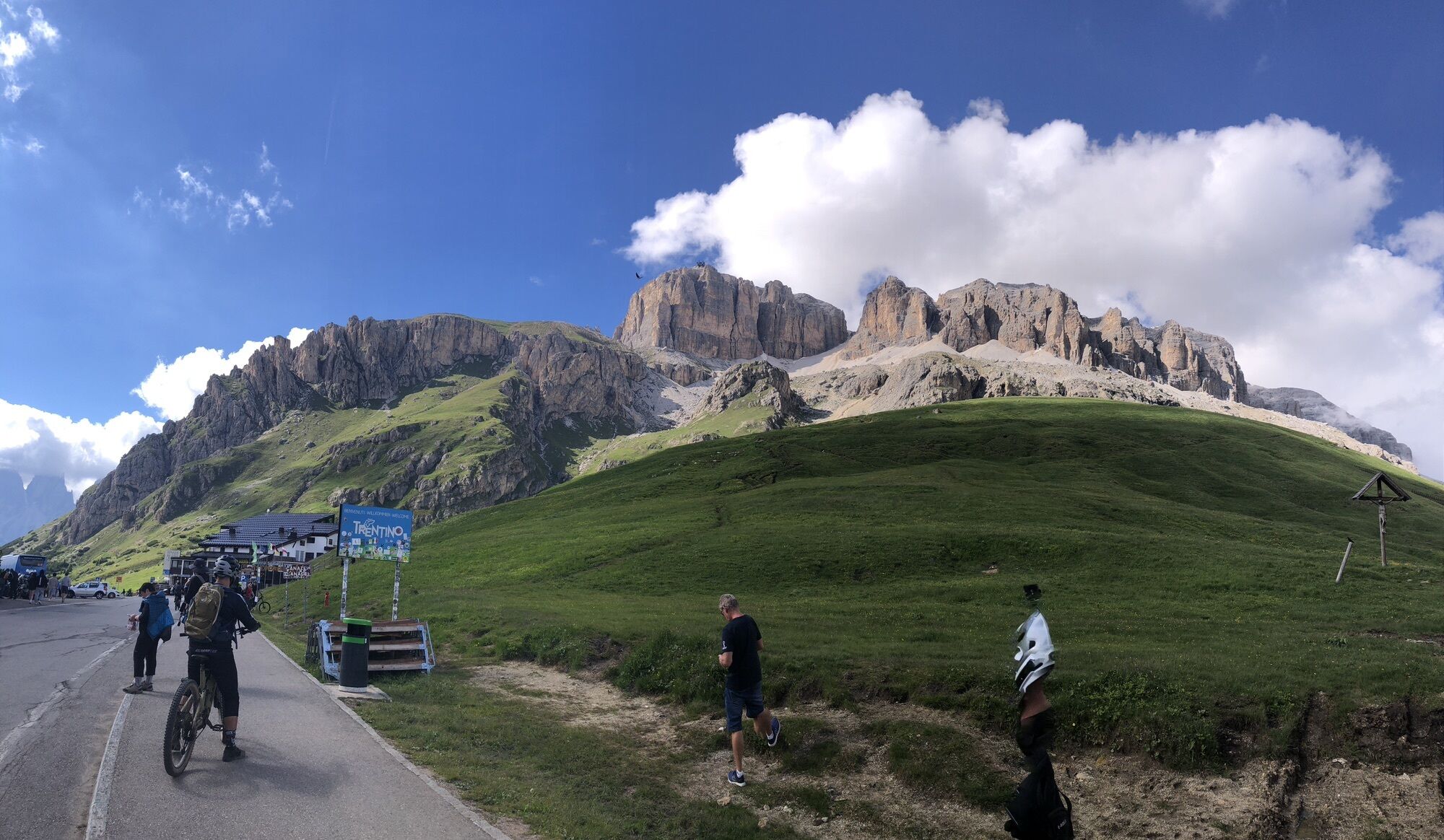
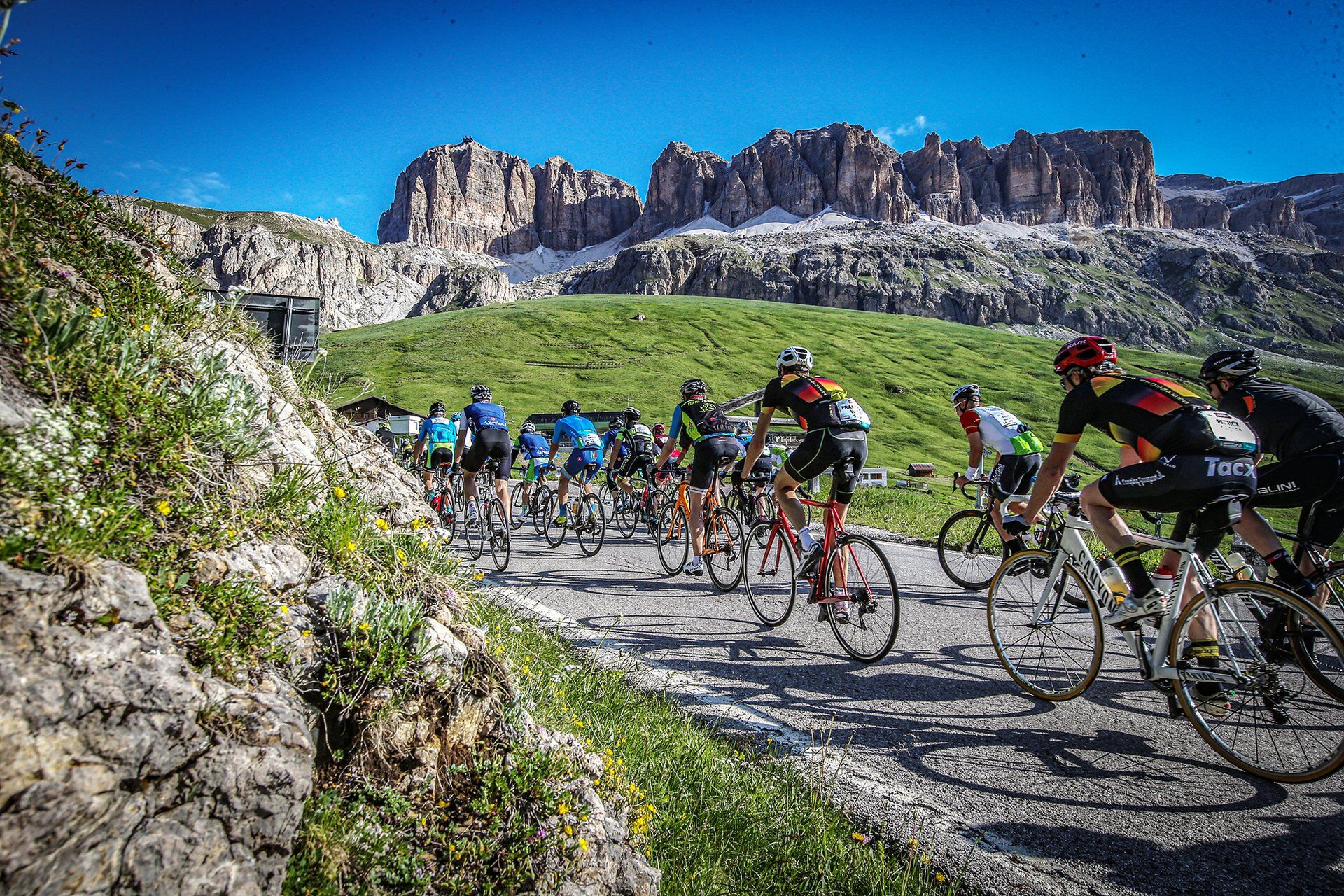
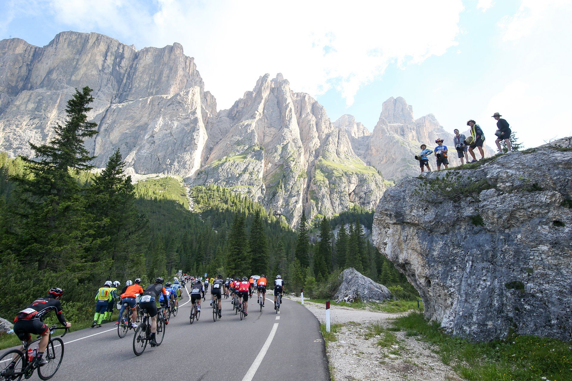
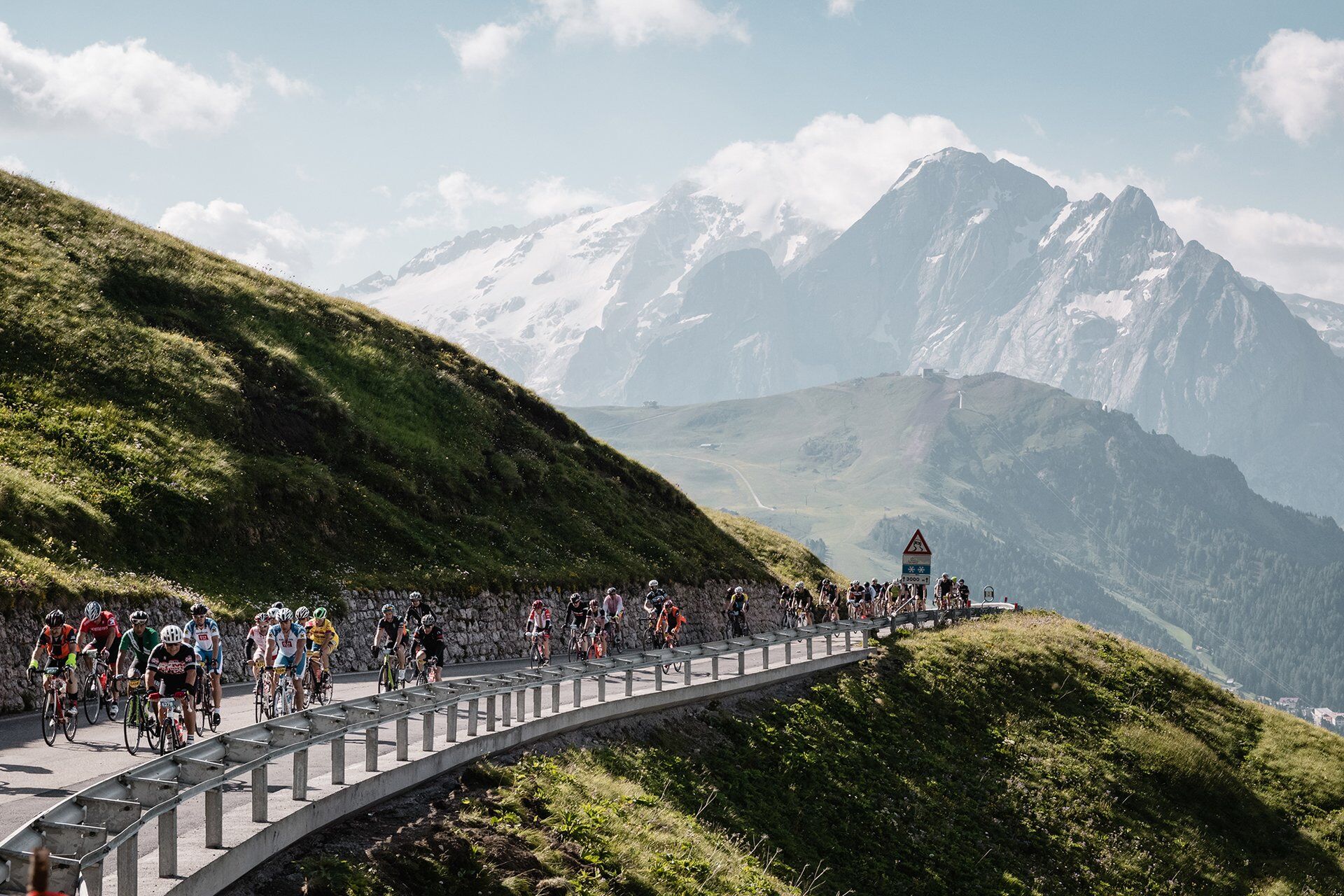
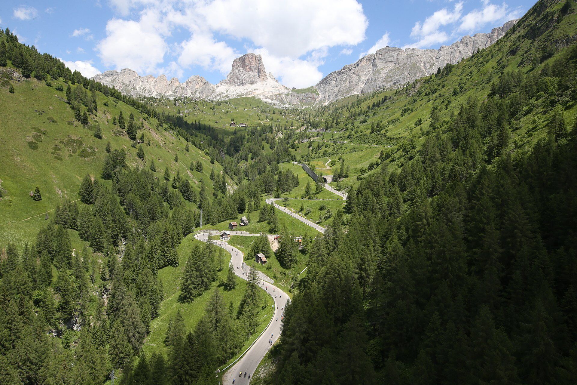
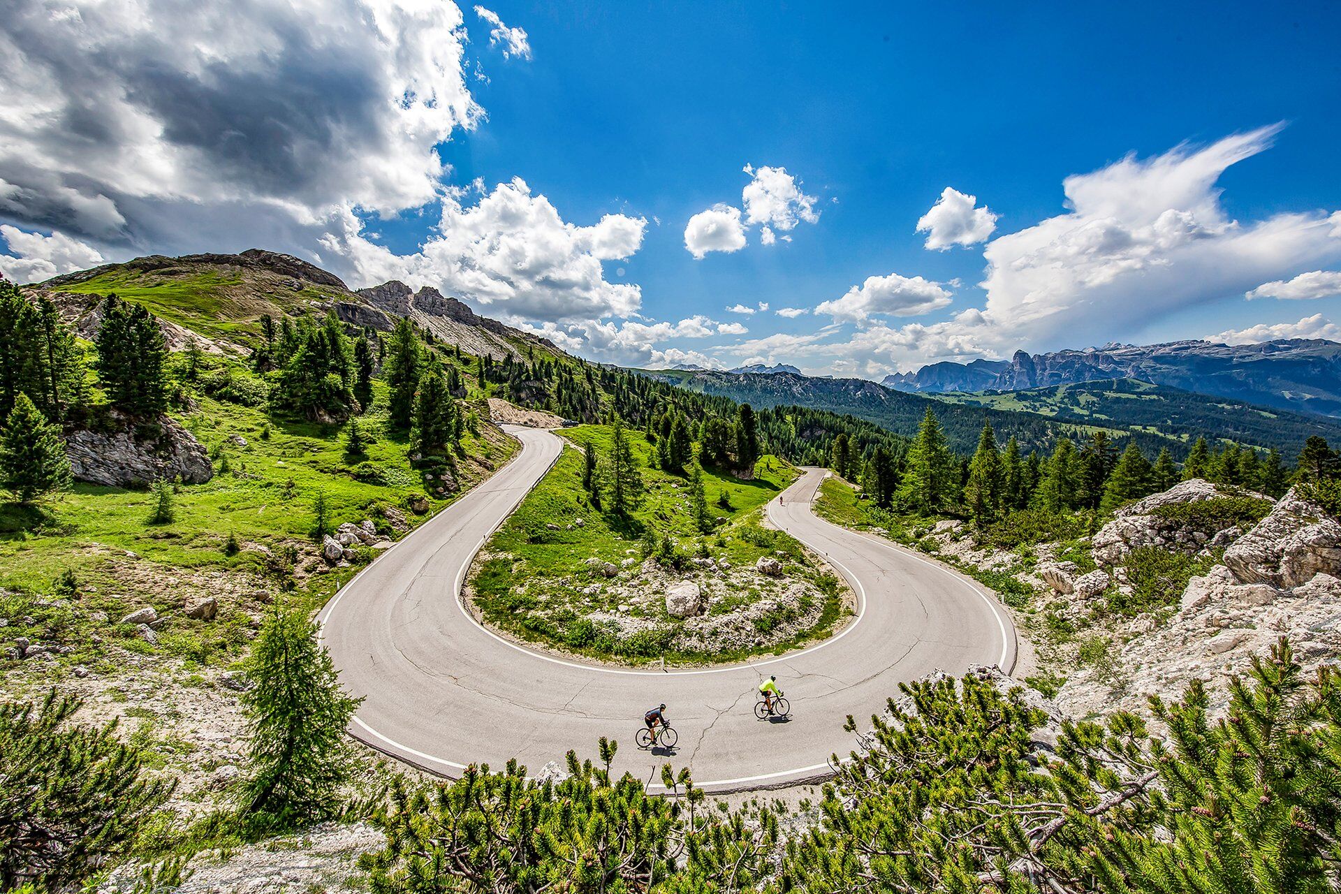
From Canazei, take the state road 48 (S.S. 48). There’s a total of 23 hairpin turns to deal with ‘till Sella Pass, that you reach after 12 km and 806 m of elevation gain (average gradient 6,9%, with stretches up to 13%). Start going down towards Plan de Gralba and then climb Gardena Pass (average gradient 4,5%, with maximum peaks up to 10%) and descend to Corvara. From this resort in Val Badia, start going up again to Campolongo Pass (average gradient 6,1%, with stretches up to 11%). Going downhill, you reach Arabba. Cool down cycling along the valley of Fodom before facing Falzarego Pass (S.R. 48) which, with gradients that aren’t prohibitive and long straightaways, leads to the foot of Lagazuoi, where the last tough kilometre of the provincial road 24 (S.P. 24) ascends to Valparola Pass (average gradient 6,7%, maximum of 15%). Following the provincial road 37 (S.P. 37), reach La Villa. Return towards Corvara along the state road 244 (S.S. 244). Conquer again Campolongo Pass. Descend to Arabba, turn right and, along the state road 48 (S.S. 48), climb up again to Pordoi Pass. Return to Canazei (13 km, average gradient 6,7%, with stretches up to 10% and 27 hairpin turns).

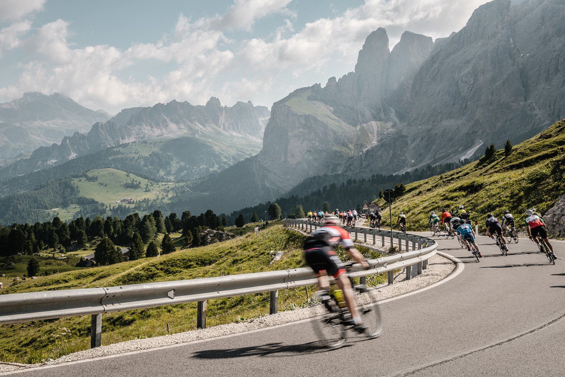
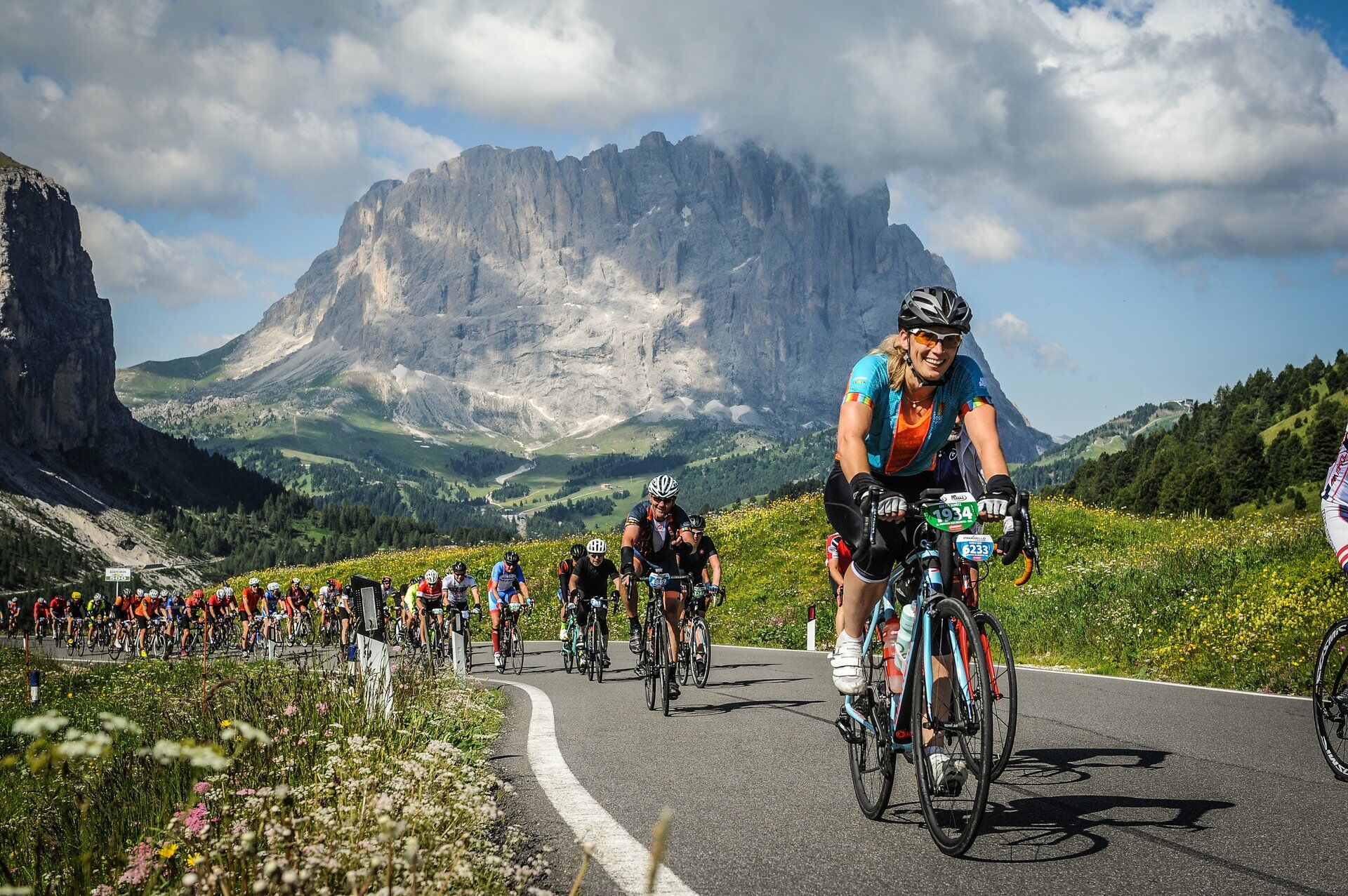
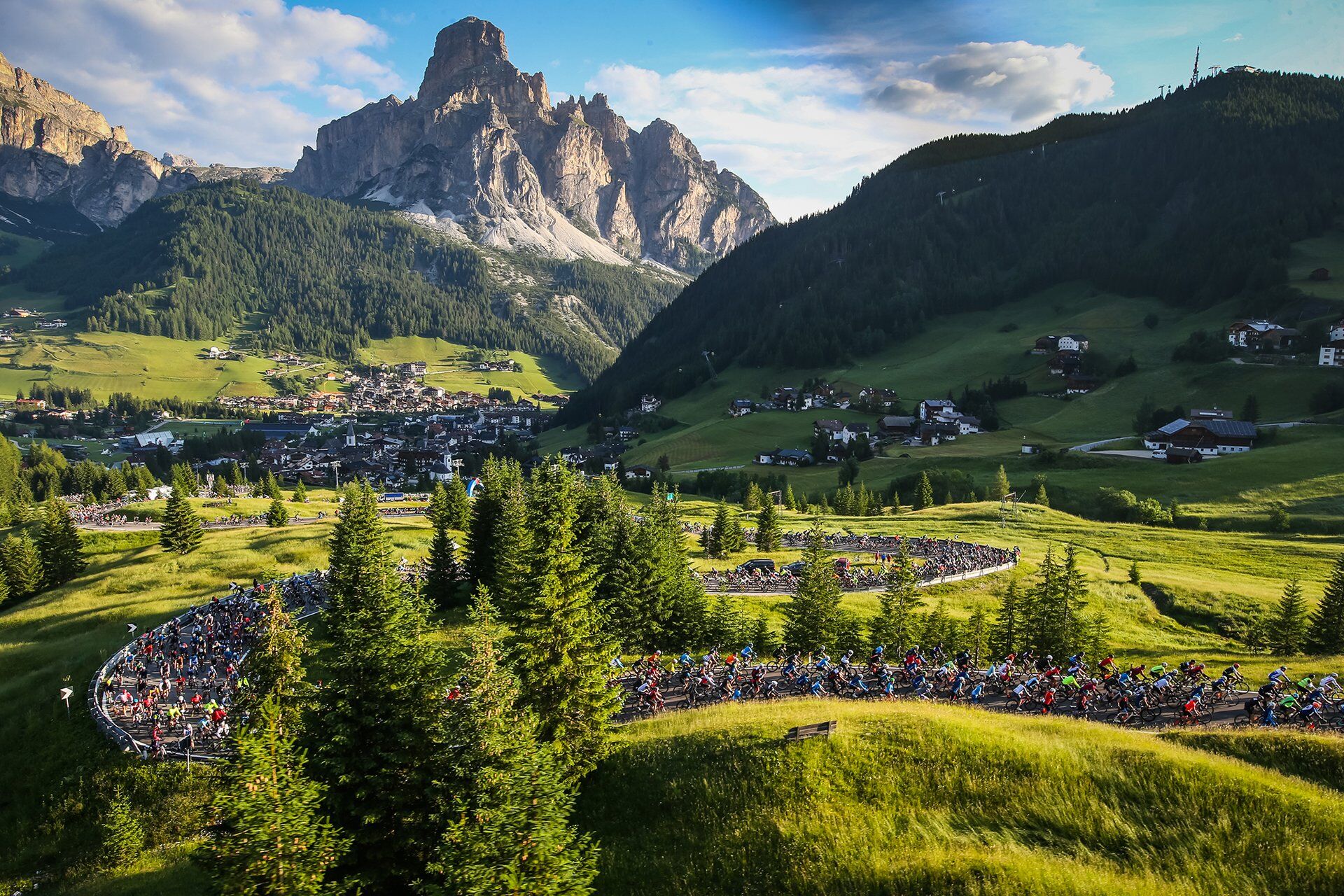
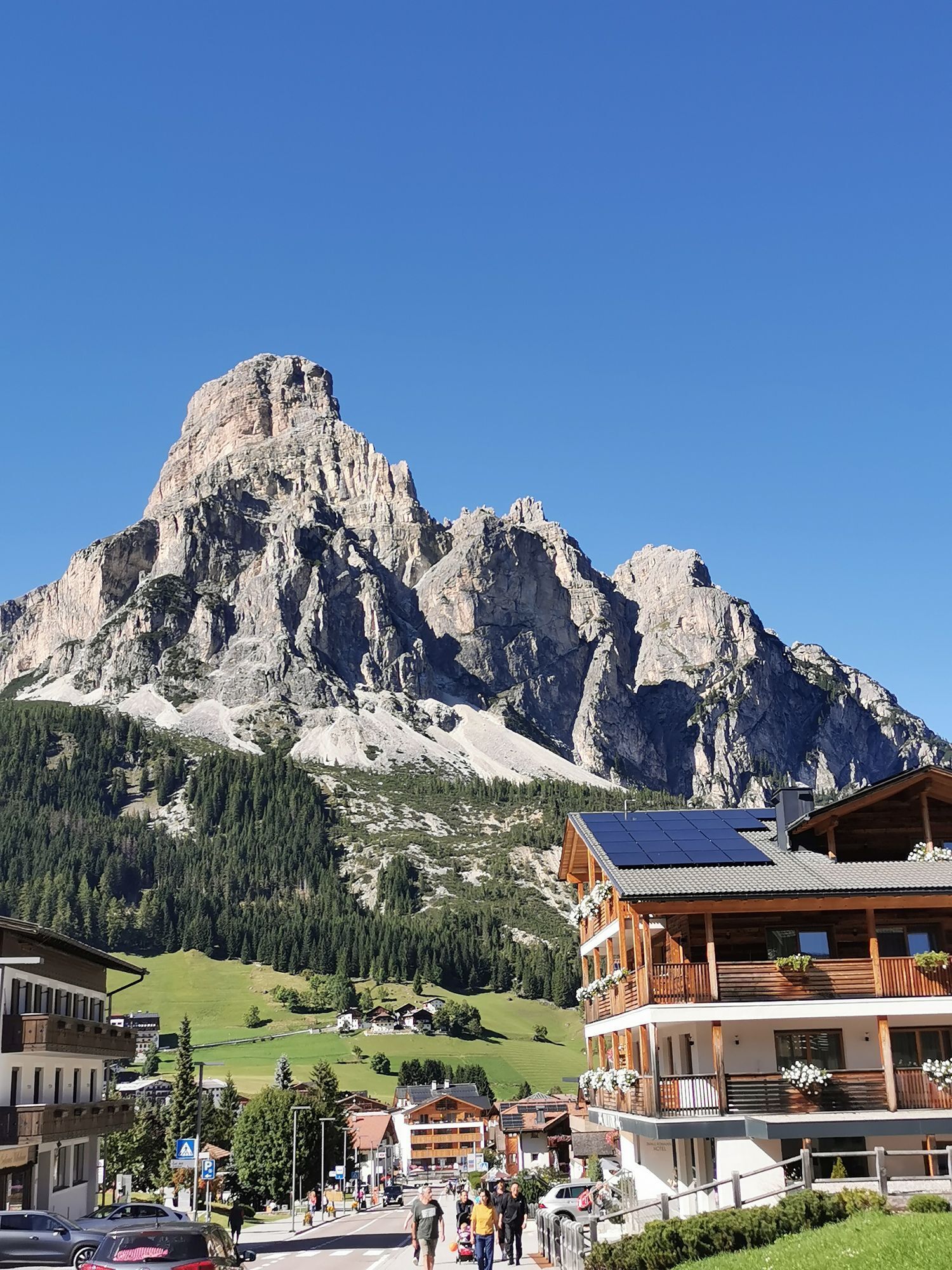
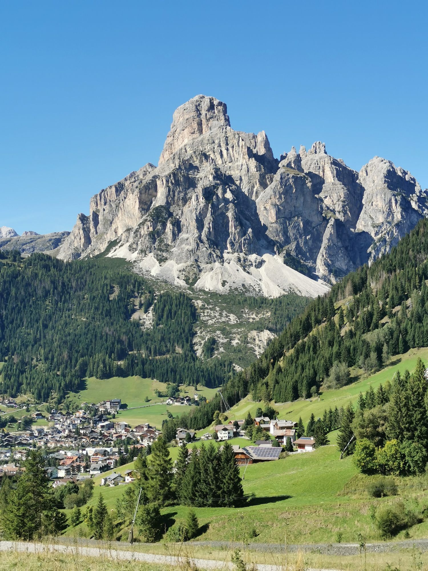
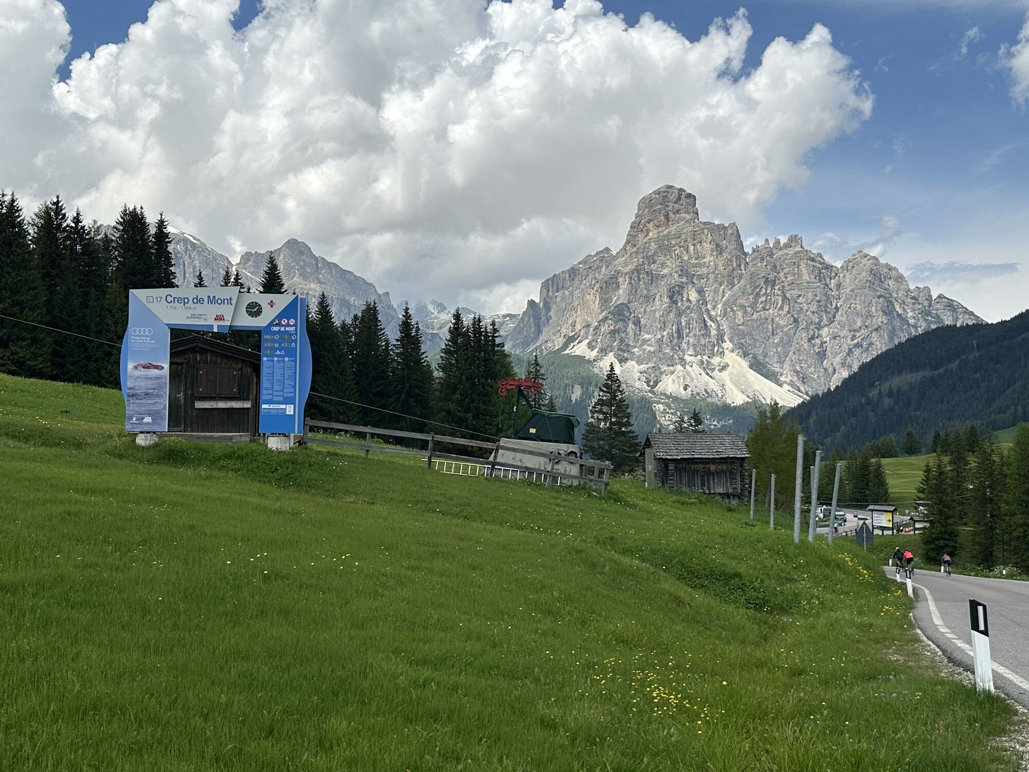
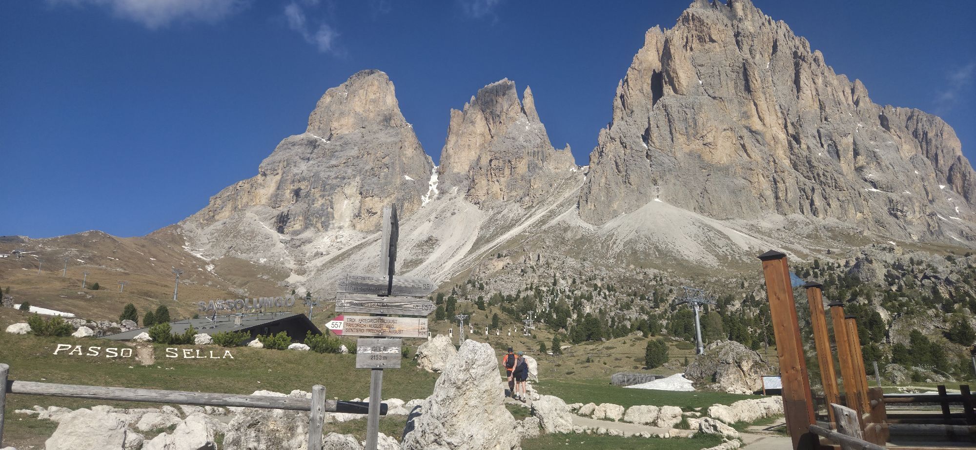
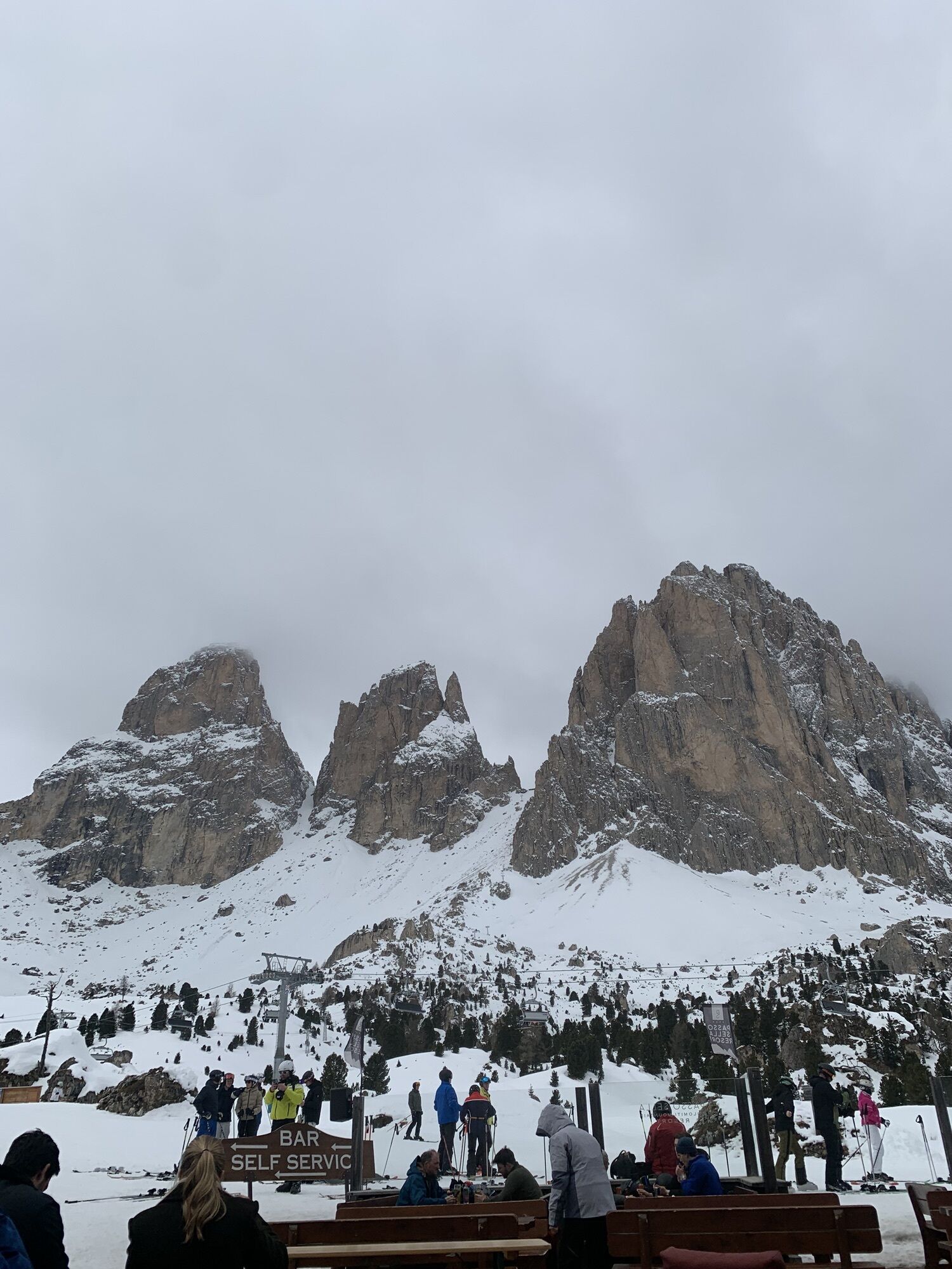
Maratona dles Dolomites officially starts from La Villa, in Val Badia, in front of the Gran Risa slope, which during the winter hosts the Alpine Ski World Cup. As an alternative, you can start from Canazei.
Helmet, gloves, clothing adequate for the itinerary and the weather forecast. Charged gps with tracks. Puncture repair and multi-tool kit. In compliance with the rules of the road, bikes must absolutely be equipped with bell, headlights, taillights, and reflectors on the back, on the sides and on the pedals.
Plan a tour based on your skills and on the weather.
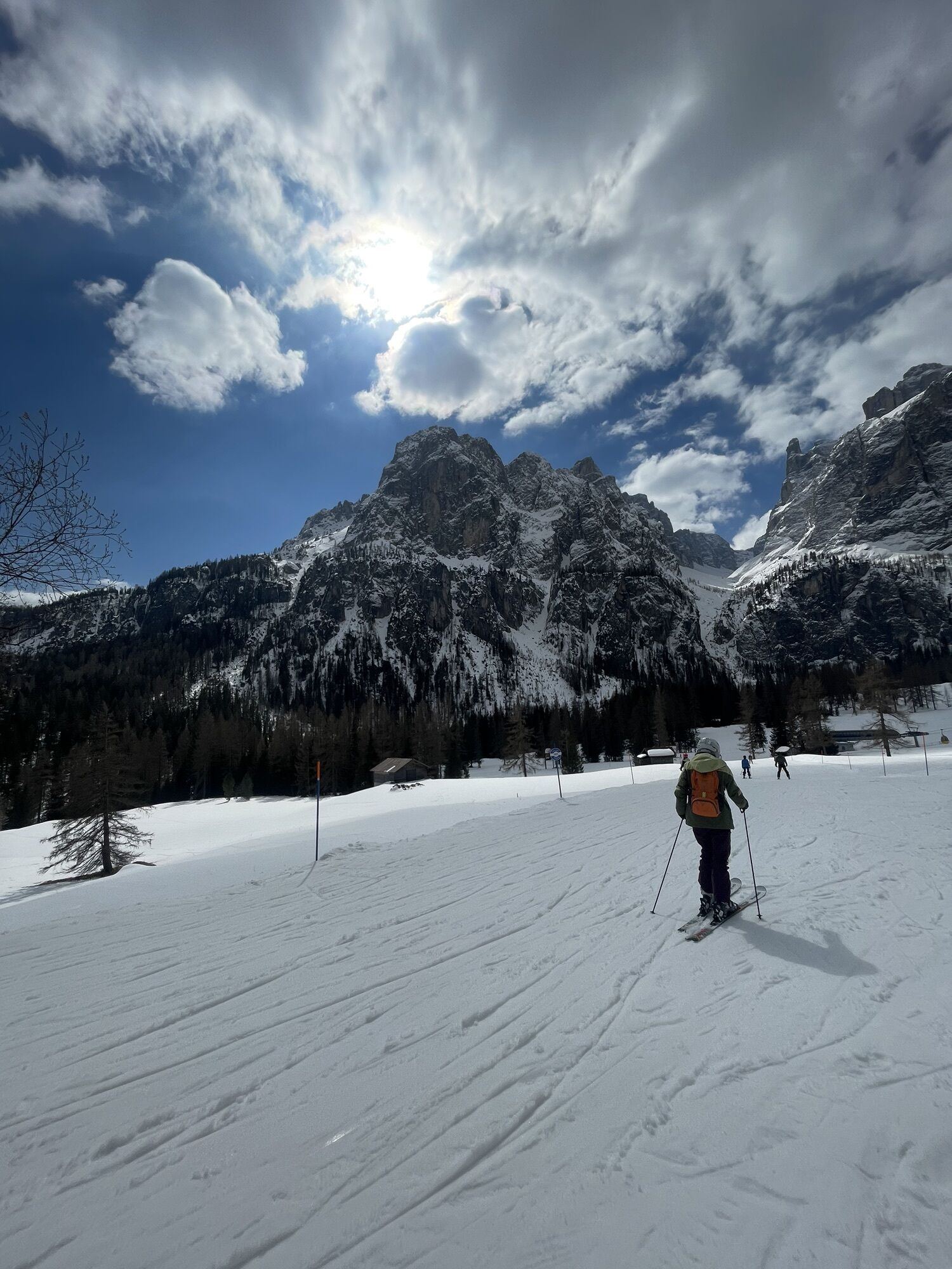
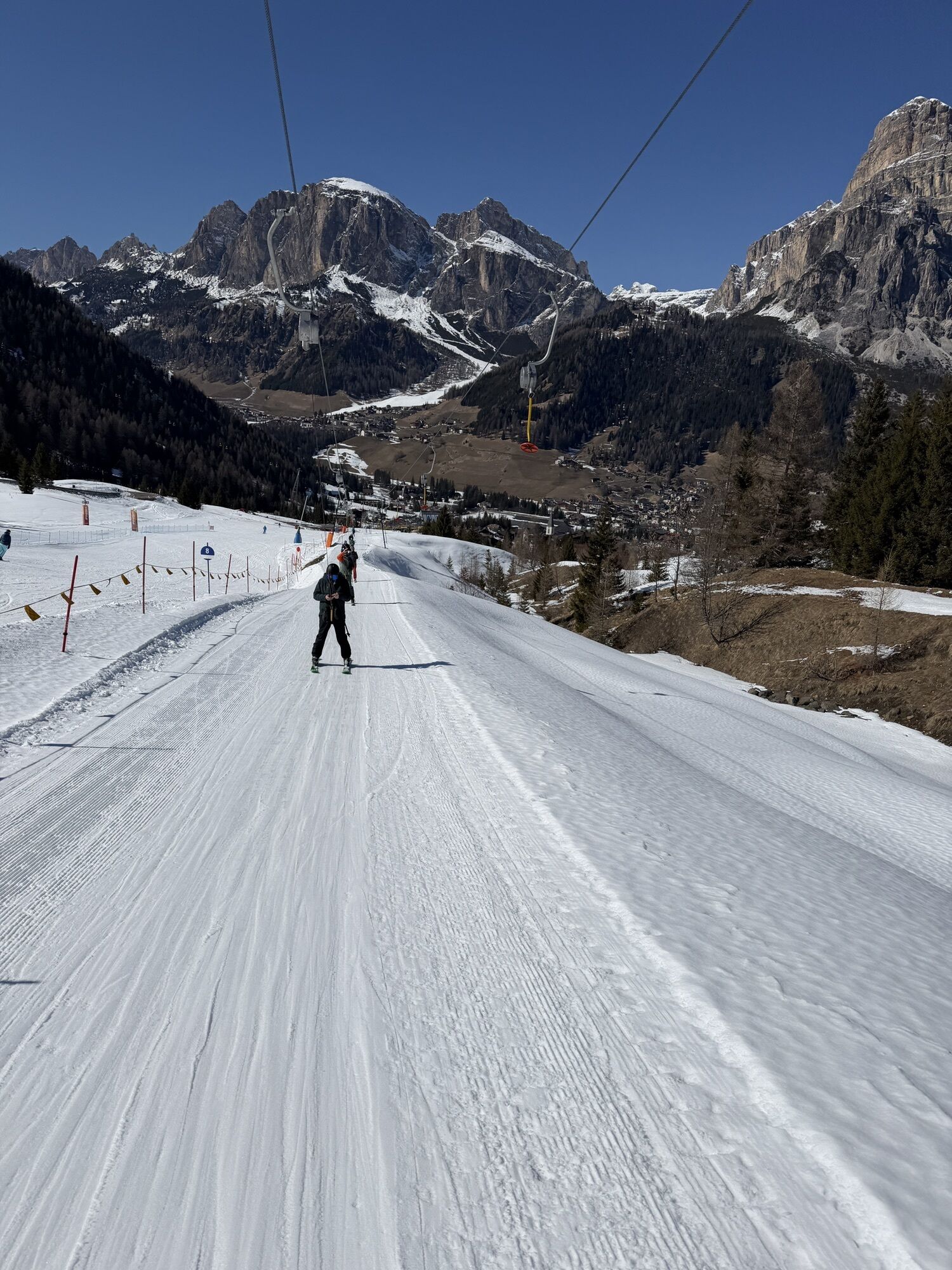
Proceed slowly, especially downhill, enjoy the view and the silence.
Adapt your speed, especially in turns, to the conditions of the ground.
Rely on the bike guides.
Wear adequate clothing and equipment.
Respect the environment surrounding you and bring your waste back.
Follow the rules of the road.
Be careful on the cycling and walking route.
Help those who need it.
If you come across pedestrians, warn them of your approach and slow down.
Other access points to Val di Fassa:
from A27 motorway (Venezia), exit Belluno/Ponte nelle Alpi, S.S. 203 to Agordo and S.P. 346 to San Pellegrino Pass - Moena (Val di Fassa). At the roundabout in Moena, proceed towards Canazei from A27 motorway (Venezia), exit Belluno/Ponte nelle Alpi, S.S. 203 to Agordo/Alleghe/Rocca Pietore. S.P. 641 to Fedaia Pass - Canazei coming from Arabba, S.S. 48 to Pordoi Pass - Canazei from Val Gardena, S.S. 242 to Sella Pass - CanazeiPublic transport lines SAD - Val di Fassa:
line no. 180 Pozza di Fassa - Vigo di Fassa - Carezza Pass - Bolzano line no. 471 Dolomites passes (Sella Pass, Gardena Pass, Campolongo Pass, Pordoi Pass, Fedaia Pass). Service available in summer onlyParking lot at Dòlaondes Aquatic Centre in Canazei (pay and display/free/parking disk) or by the lifts’ valley station in Alba di Canazei.
6
Strèda Roma, 36
38032 Canazei (TN)
Phone +39 0462 609500
info@fassa.com
www.fassa.com
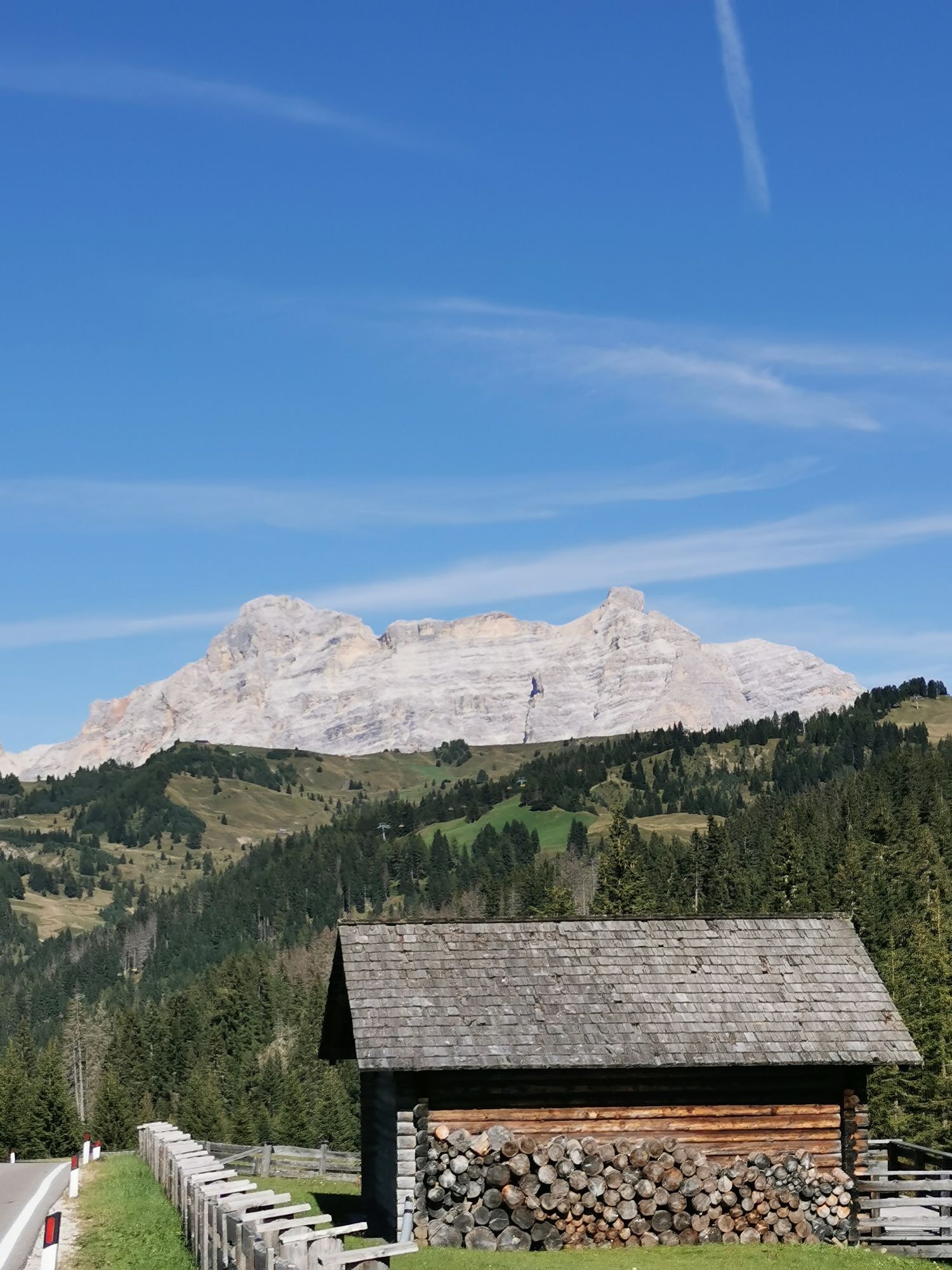
Climb of Giro d’Italia from Canazei (junction on S.S. 48) to Sella Pass: 11,6 km, average gradient 6,9%, with maximum peaks of 13%, hairpin turns: 23. First refreshment points in Val di Fassa at Pian de Frataces, Pian de Schiavaneis and Sella Pass.
Descent from Pordoi Pass to Canazei: 11,97 km, average gradient 6,7%, with maximum peaks of 10%, hairpin turns: 27. Refreshment points in Val di Fassa at Pordoi Pass, Pecol, Pian de Frataces. E-bike charging station and kit for minor repairs by the valley station of Pordoi cable car.
Webové kamery z prehliadky
-
Ciampinoi
-
Plan de Gralba
-
Pedraces
-
La Villa - Alta Badia
-
Tublà
-
Col dei Rossi
-
Colfosco
-
St. Kassian - Armentarola
-
St. Kassian - Armentarola
-
St. Christina
-
Alta Badia - Rifugio Ütia de Bioch
-
Rifugio Maria Sass Pordoi
-
Arabba - Bec de Roces
-
Arabba - Porta Vescovo
-
Val Gardena - Ciampinoi
-
Val Gardena - Citta dei Sassi
-
Val Gardena - Dantercepies
-
Pordoi - Pass
-
Canazei - Col dei Rossi
-
Canazei - Col dei Rossi
-
Canazei - Col dei Rossi
-
Alta Badia - Club Moritzino
-
Canazei - Col Rodella
-
Canazei - Col dei Rossi
-
Canazei - Col dei Rossi
-
Canazei - Col dei Rossi
-
Canazei - Col dei Rossi
-
Canazei - Col dei Rossi
-
Piz Arlara
-
Edelweiss Tal - Colfosco
-
Badia - La Crusc
-
St. Kassian - Garni Irsara
-
Piz La Ila
-
Piz La Ila
-
Piz Sorega
-
Boé
-
Grödner Joch
-
Grödner Joch
-
Canazei - Ciampac
-
La Crusc
Aktivity počas prehliadky
-

Cortina d'Ampezzo, Veneto/Italia
20.06.2026 – Mountainbike -

Abtei, Trentino-Südtirol/Italien
20.06.2026 – Cestný bicykel -

Arabba, Veneto/Italia
20.06.2026 – Turistika -
Badia - Abtei, Trentino-Alto Adige/Südtirol/Italia
19.06.2026 – Offroad -
Abtei, Trentino-Südtirol/Italien
06.06.2026 – Cestný bicykel -

Corvara, Trentino-Südtirol/Italien
06.06.2026 – Cestný bicykel -
Kolfuschg, Trentino-Südtirol/Italien
06.06.2026 – Štrkový bicykel -

Canazei, Trentino-Alto Adige/Italia
06.06.2026 – Cestný bicykel -

Corvara in Badia, Trentino-Alto Adige/Italia
06.06.2026 – Mountainbike -

Abtei, Trentino-Südtirol/Italien
06.10.2025 – Turistika -

Corvara in Badia - Corvara, Trentino – Alto Adige/Südtirol/Italy
06.09.2025 – Cestný bicykel -

Wolkenstein, Trentino-Südtirol/Italien
30.08.2025 – Štrkový bicykel -
Cortina d'Ampezzo, Veneto/Italia
21.06.2025 – Mountainbike -

001-2011/07/03-08:45:18
03.07.2011 – Turistika -
001-2011/07/03-08:45:18
03.07.2011 – Turistika -
001-2011/07/03-08:45:18
03.07.2011 – Turistika -
001-2011/07/03-08:45:18
03.07.2011 – Turistika -
001-2011/07/03-08:45:18
03.07.2011 – Turistika -
001-2011/07/03-08:45:18
03.07.2011 – Turistika -
sellarondabike 2011
03.07.2011 – Mountainbike
Obľúbené výlety v okolí
-
4,8
The Munkelweg trail beneath the Geisler peaks
strednáTuristika 9,11 km -
4,6
Pordoi Pass - Sass Pordoi - Forcella Pordoi - Piz Boè - Boè Refuge - Forcella Pordoi - Pordoi Pass
ťažkéTuristika 8,39 km -
4,9
Lang- und Plattkofel Umrundung
strednáTuristika 17,5 km -
5,0
Um den Langkofel
strednáTuristika 9,76 km -
4,8
Langkofel-Umrundung
strednáTuristika 12,9 km -
4,8
Passo Giau roundtrip
strednáTuristika 8,10 km -
4,0
Der Friedrich-August-Weg
strednáTuristika 10,4 km -
5,0
Langkofel Klettersteig/Ferrata Furcela de Saslonch
ťažkéVia ferrata 7,07 km -
4,7
Five Towers Tour (Averau, Nuvolau and Scoiattoli refuges) from Giau Pass
strednáTuristika 10,8 km -
4,8
Pisciadùsteig Sella Gruppe
strednáVia ferrata 7,15 km
Turistika a stopovanie


Nenechajte si ujsť ponuky a inšpiráciu na ďalšiu dovolenku
Vaša e-mailová adresa bol pridaný do poštového zoznamu.