







Arabba - "Plan Boè" - "Bec de Roces" - Arabba
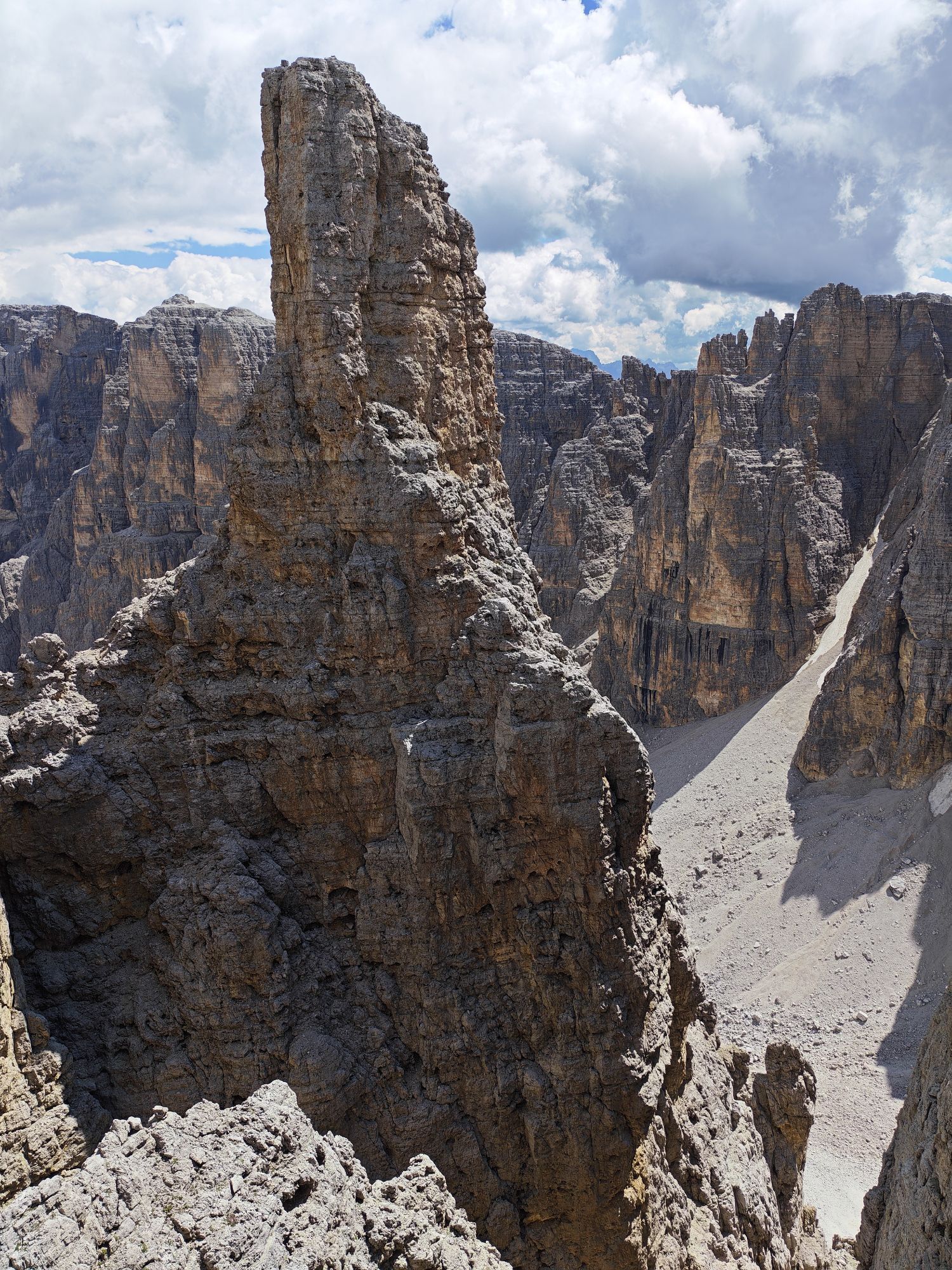
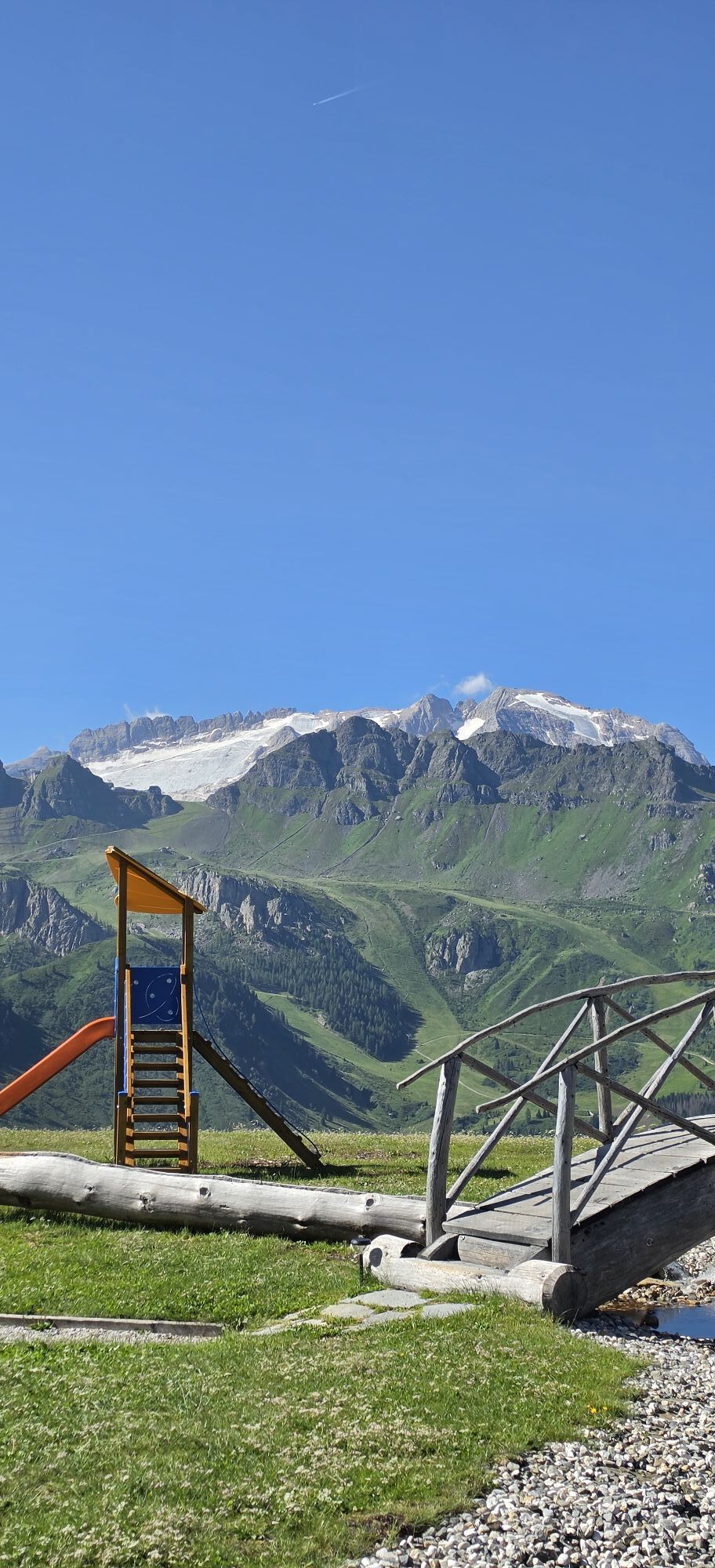
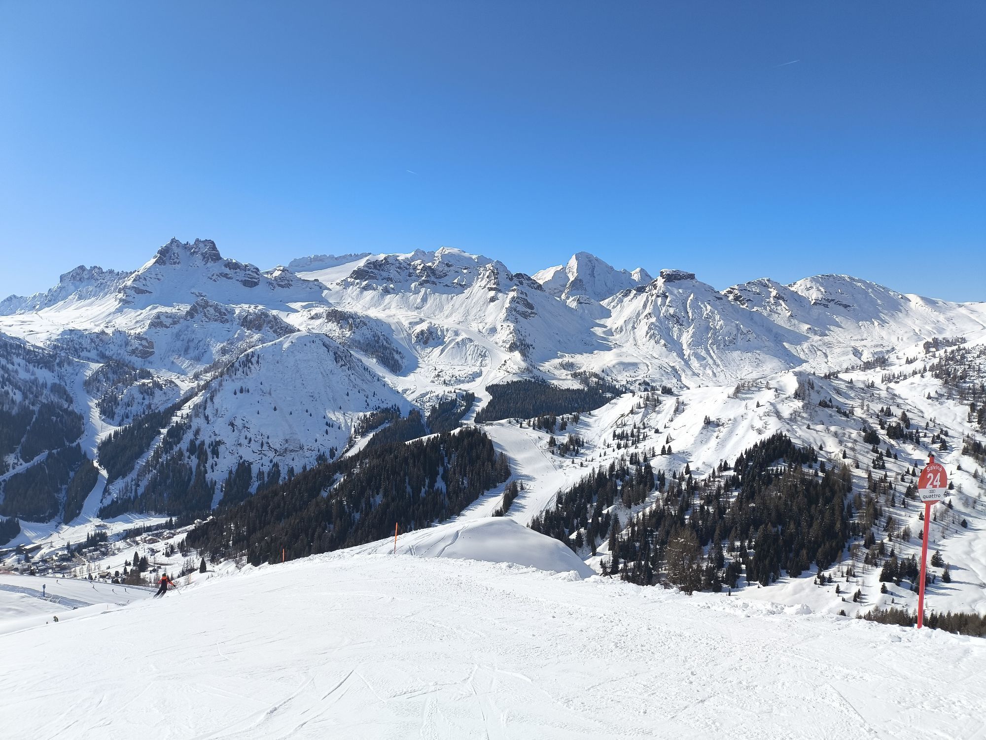
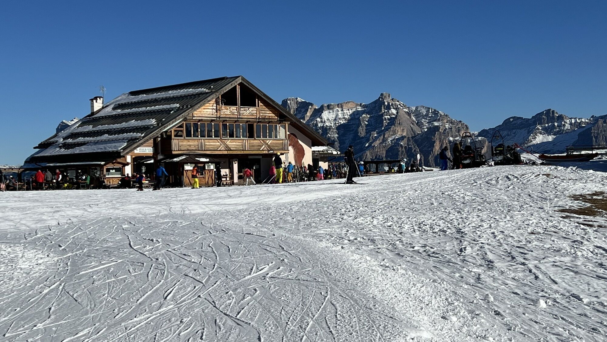
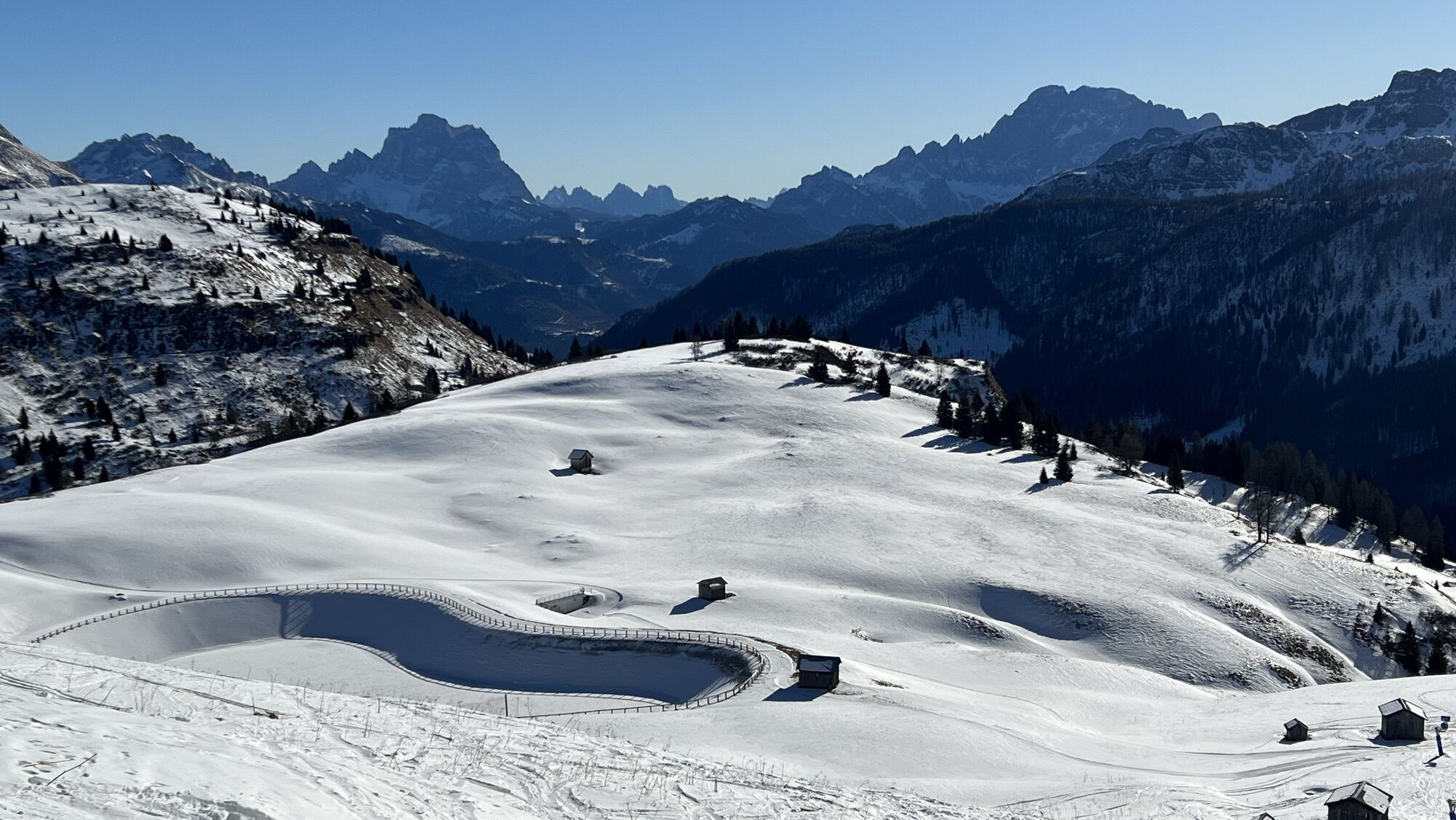
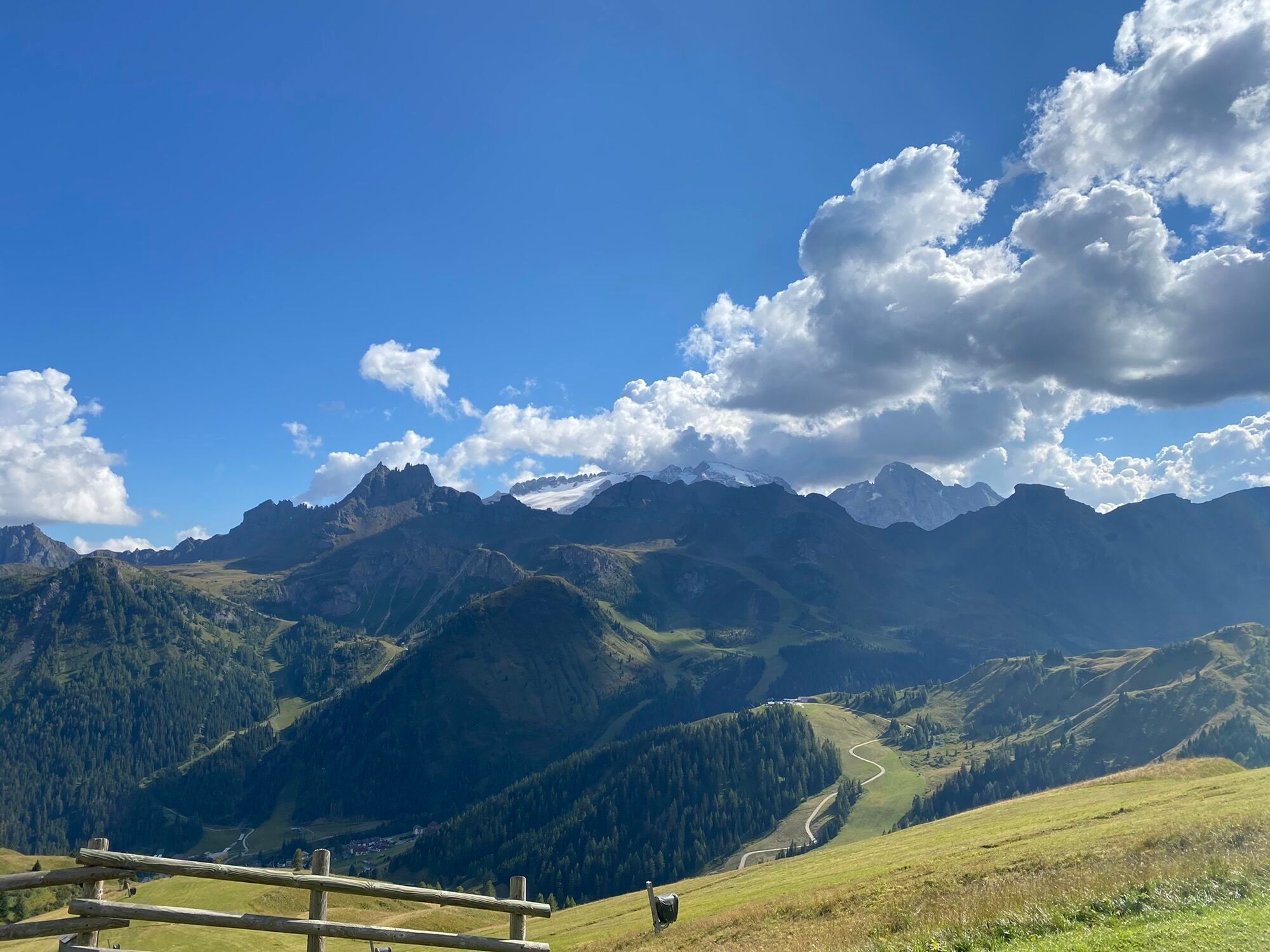
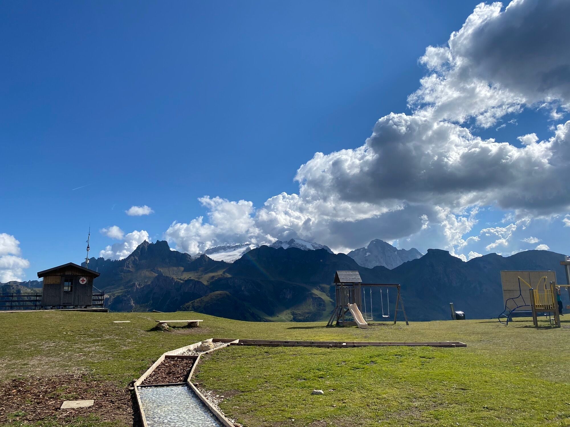
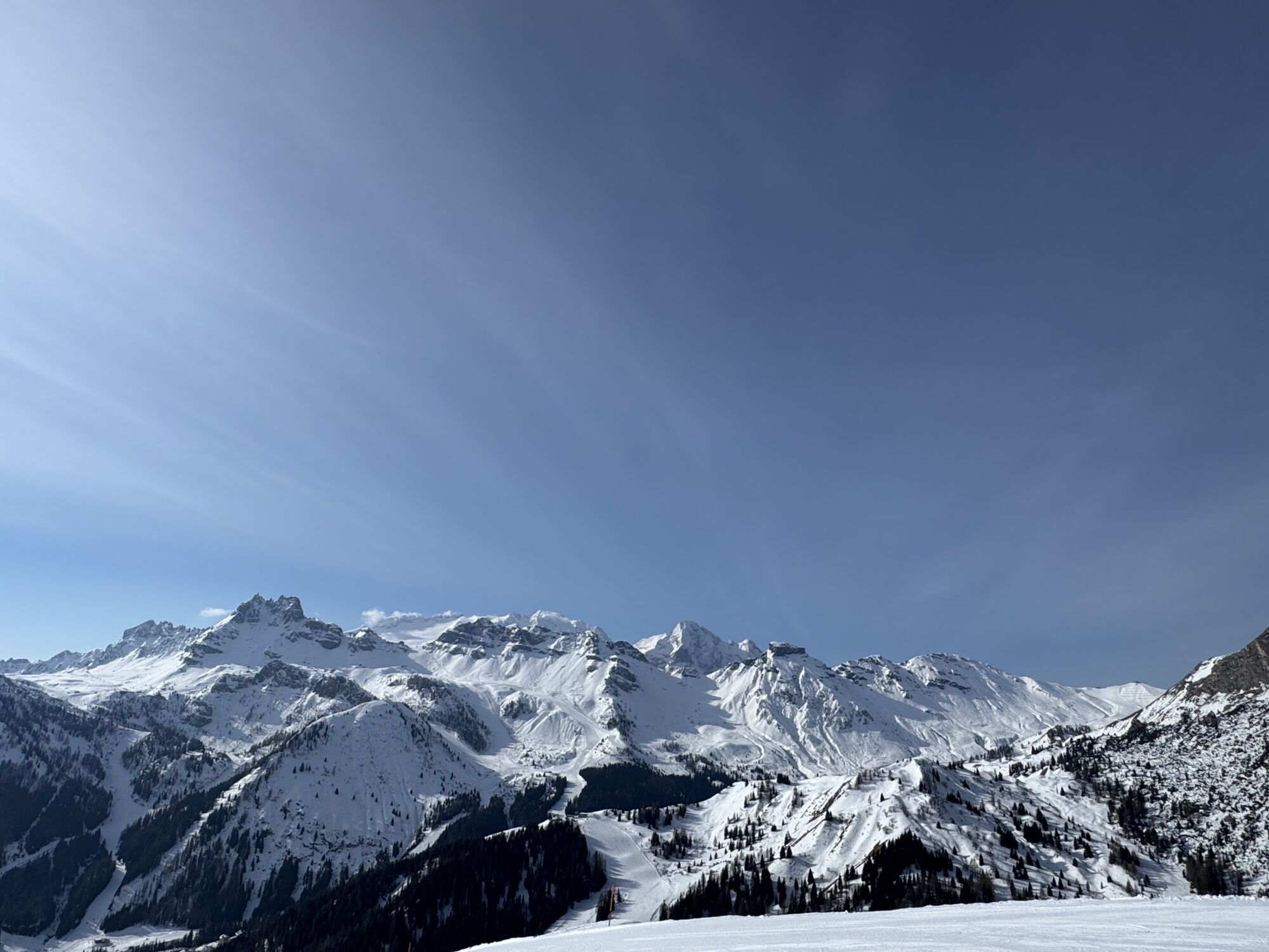
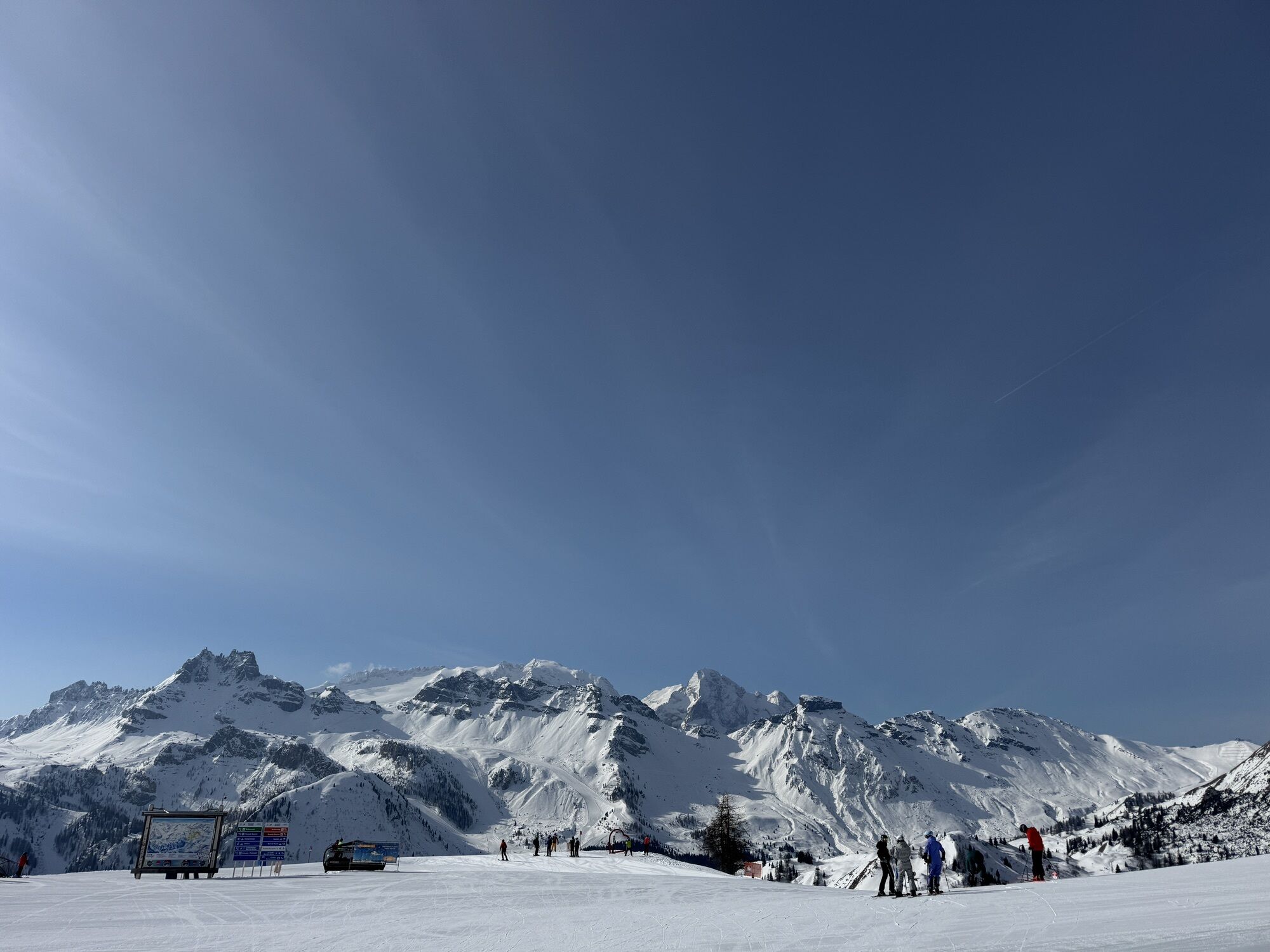
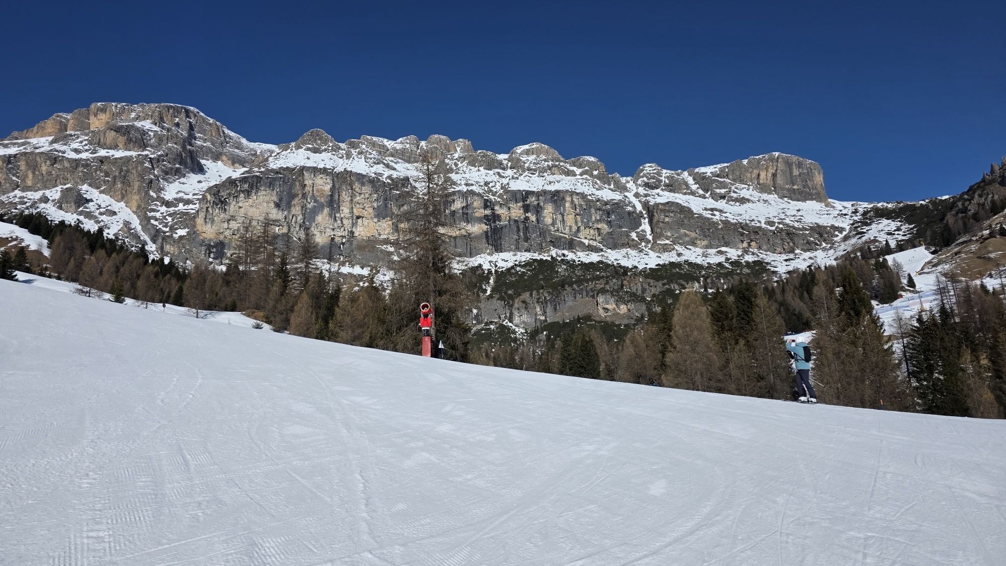
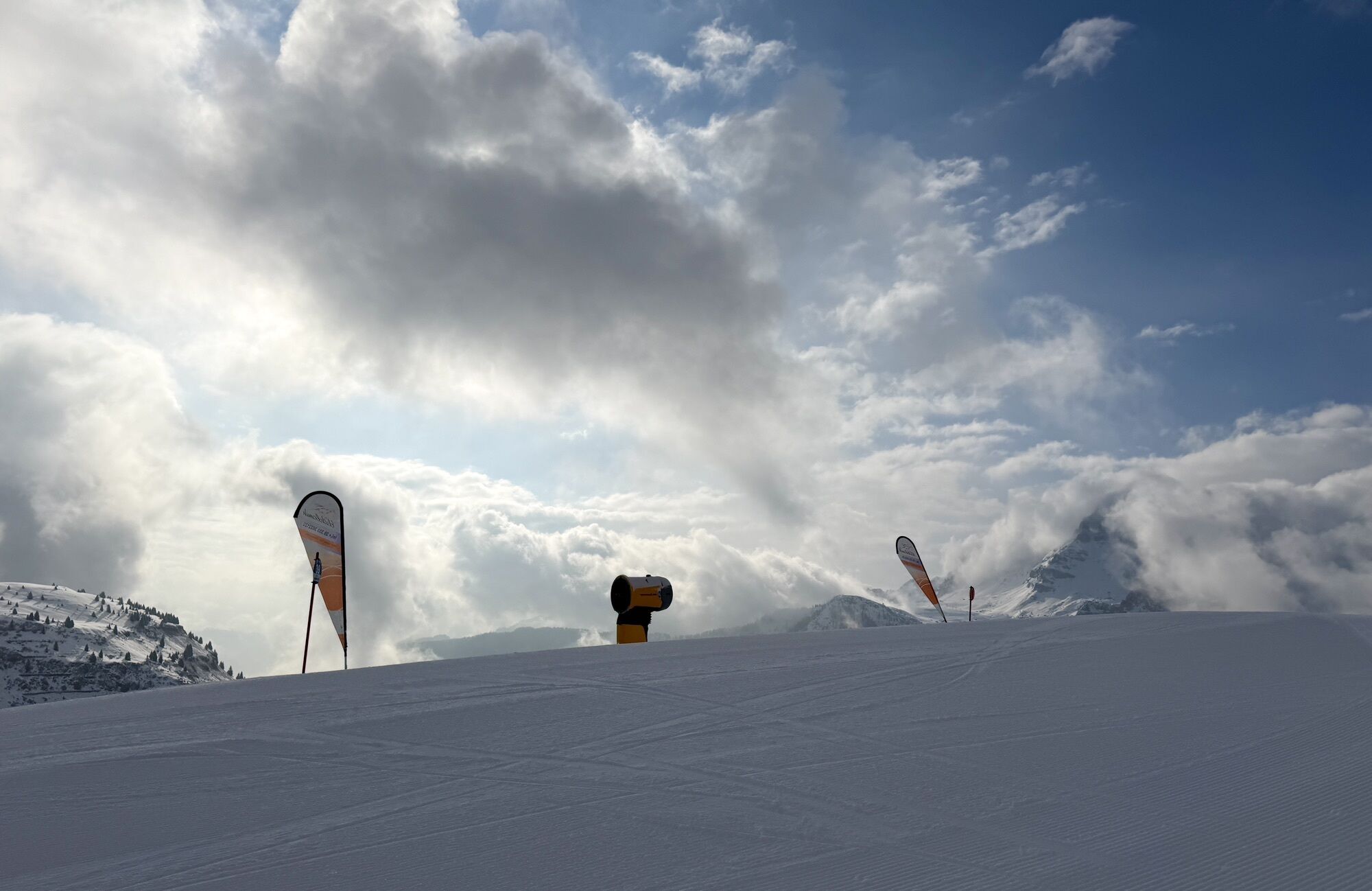
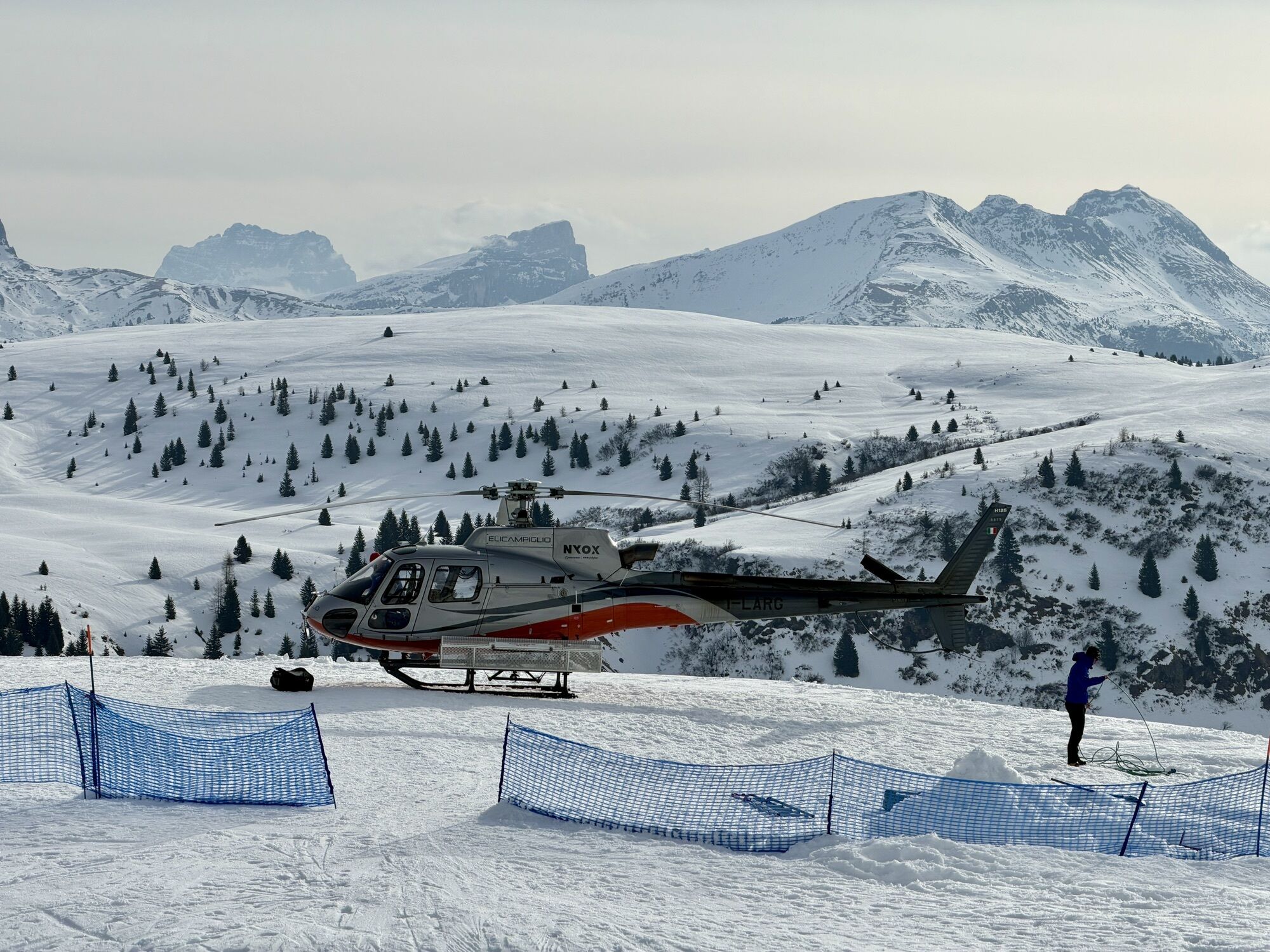
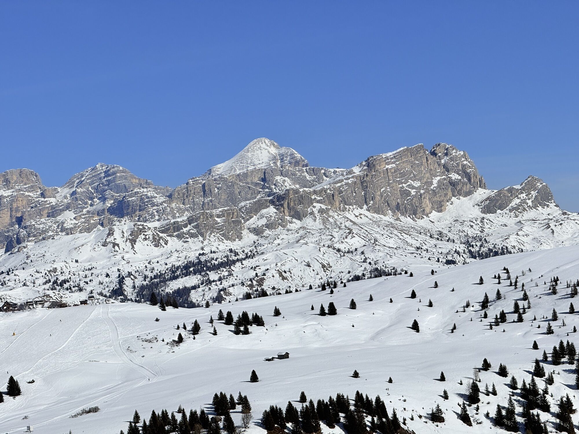
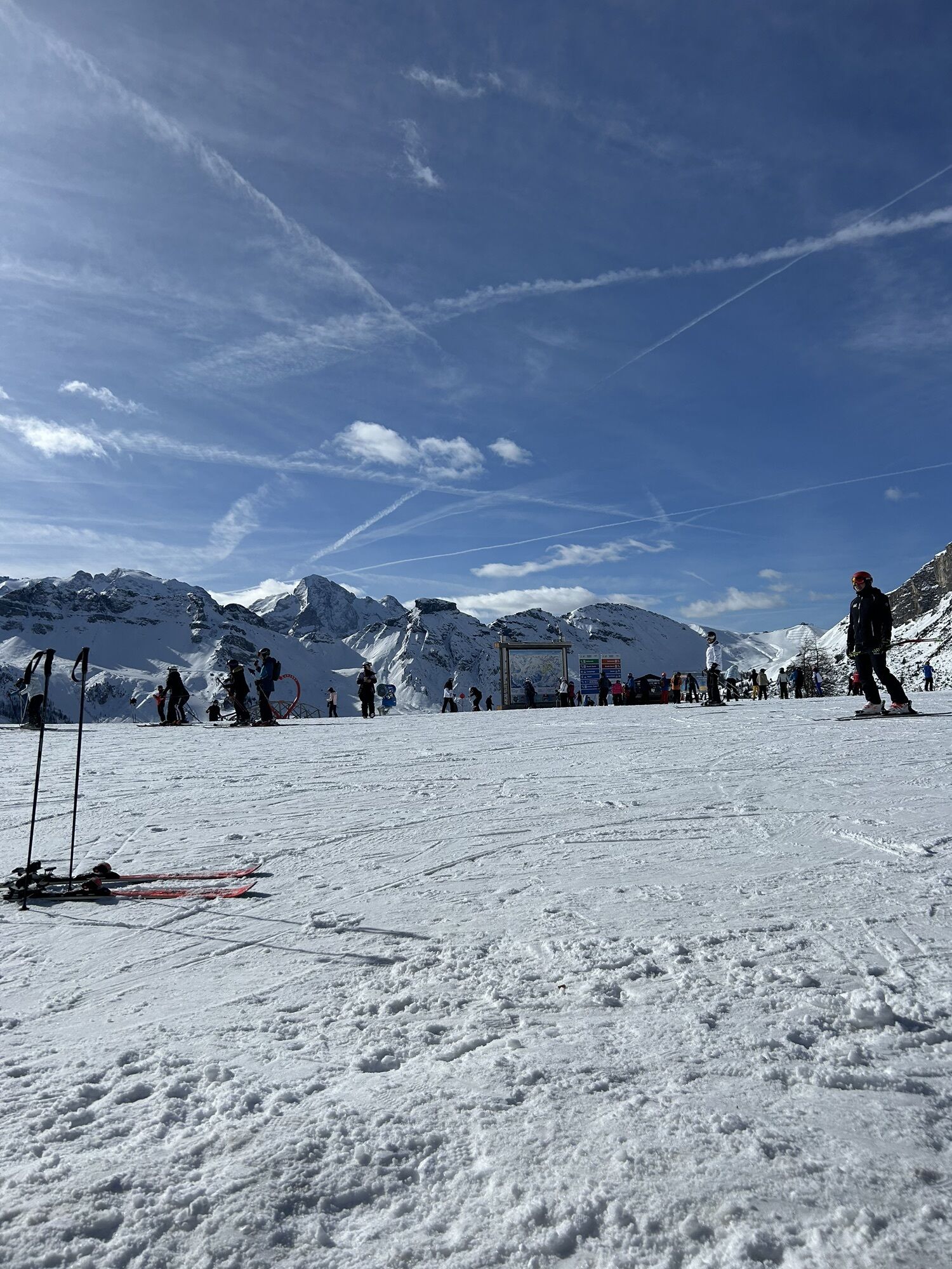
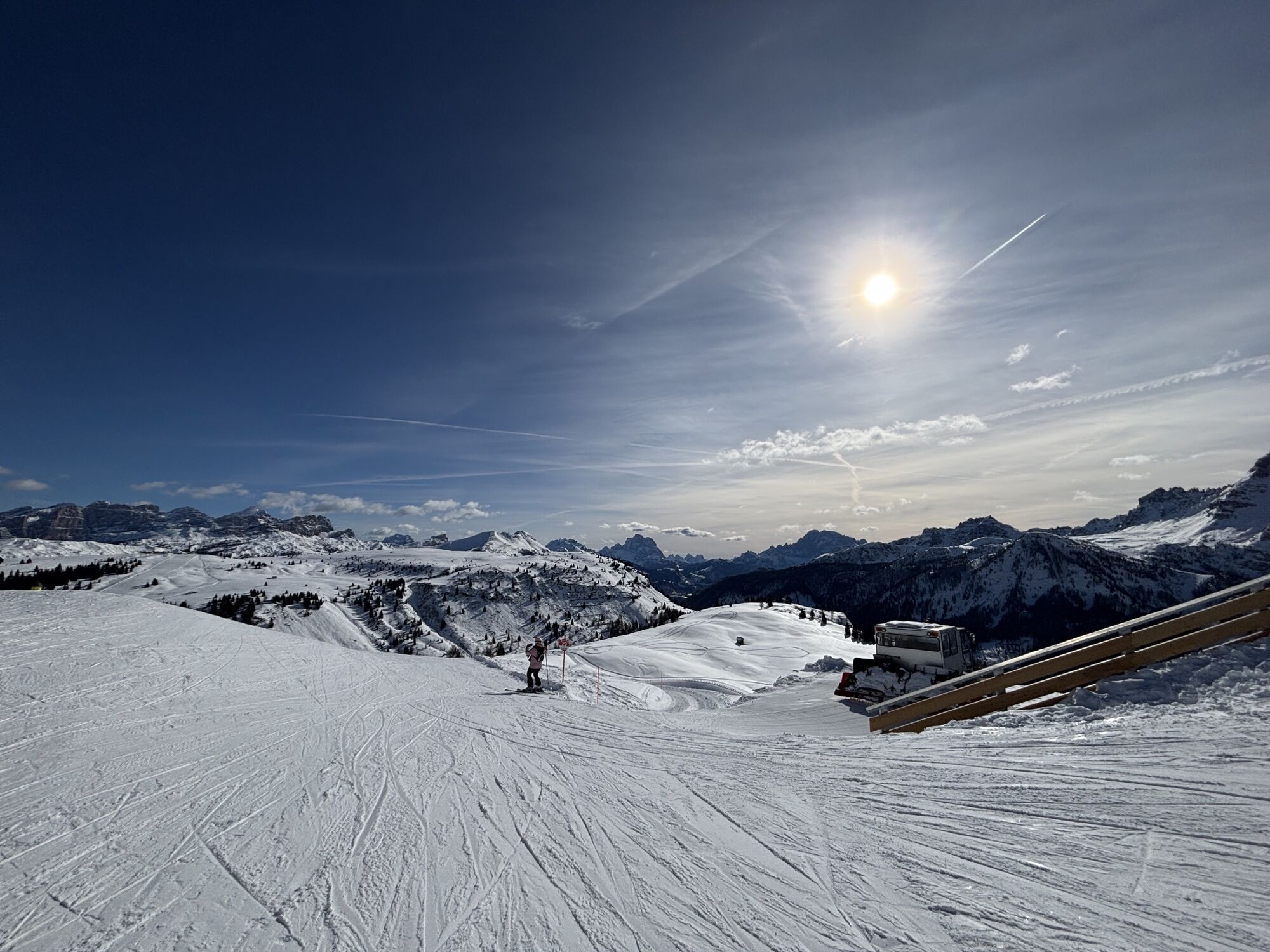
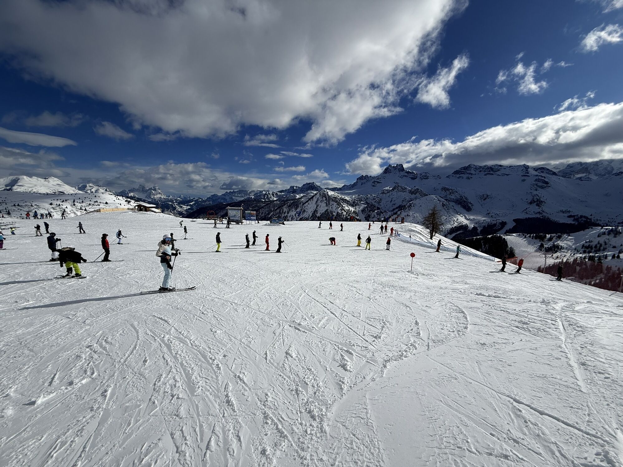
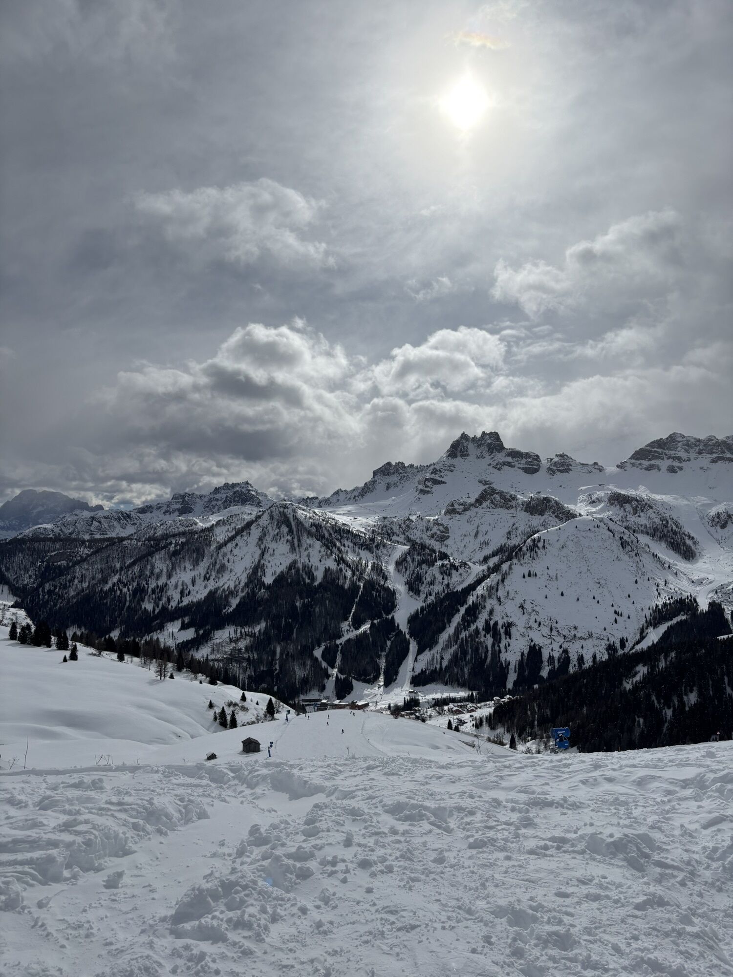
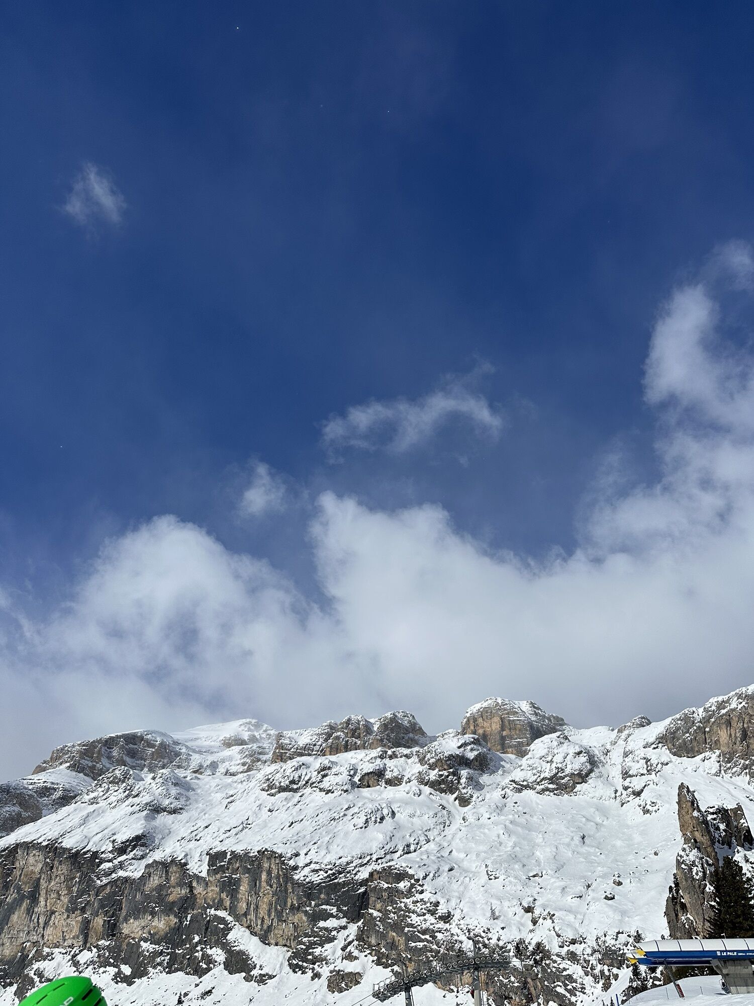
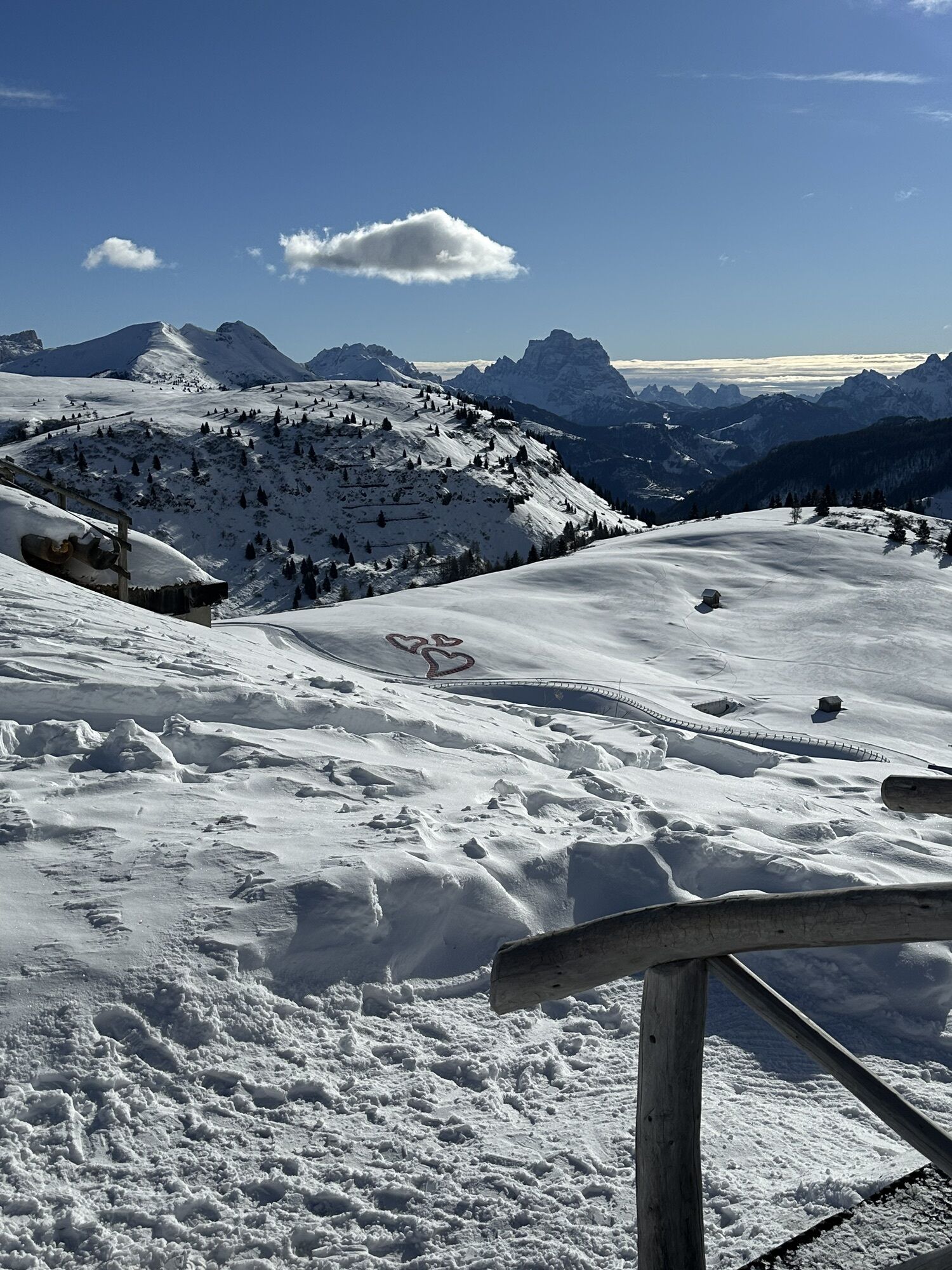
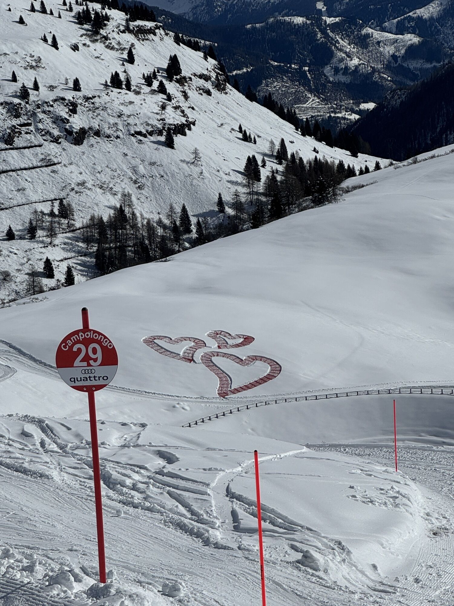
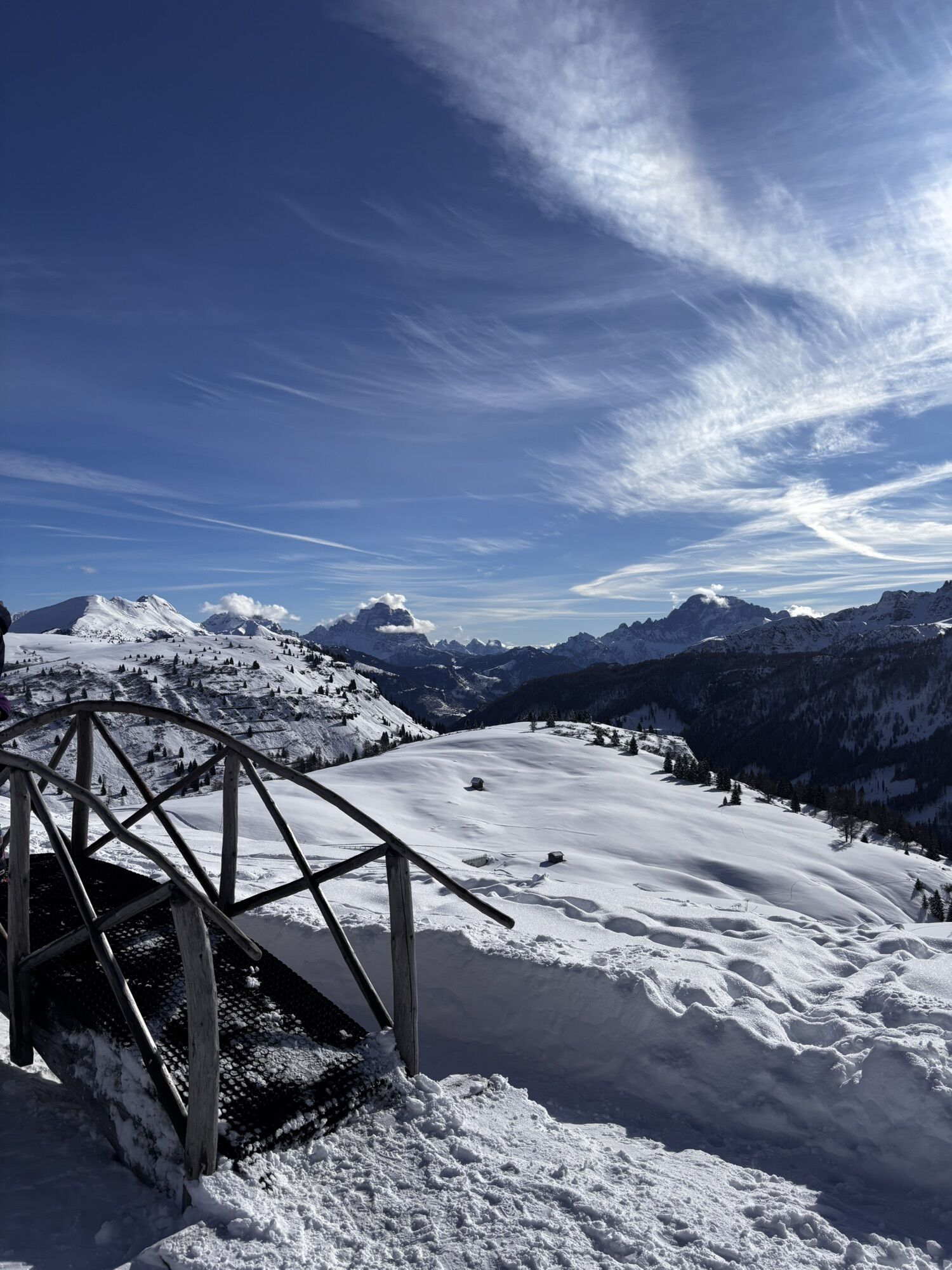
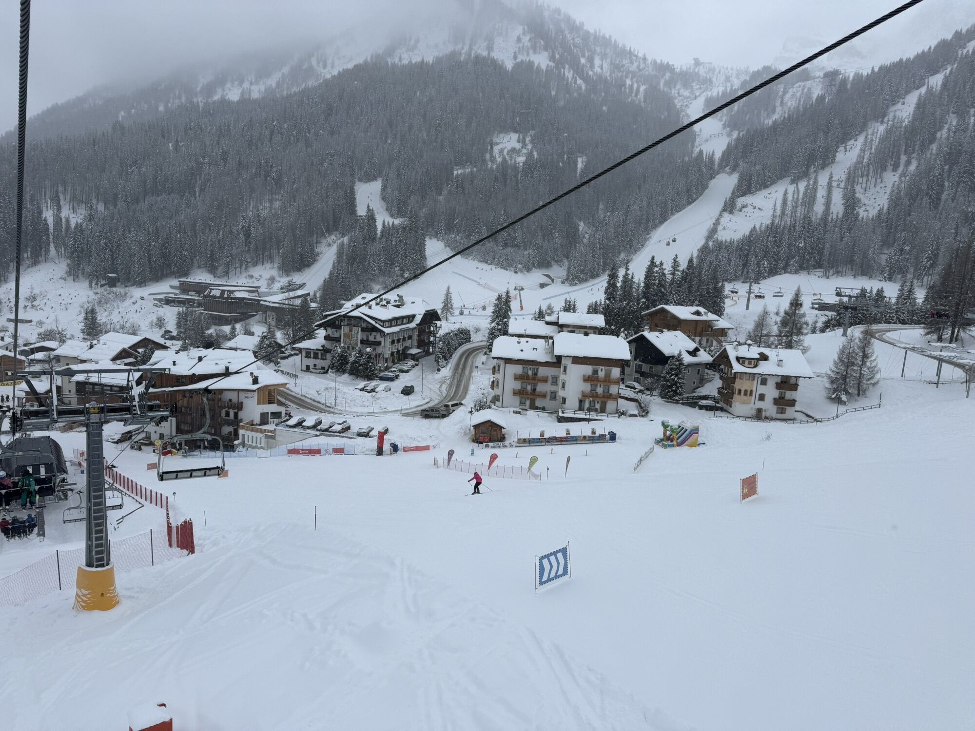
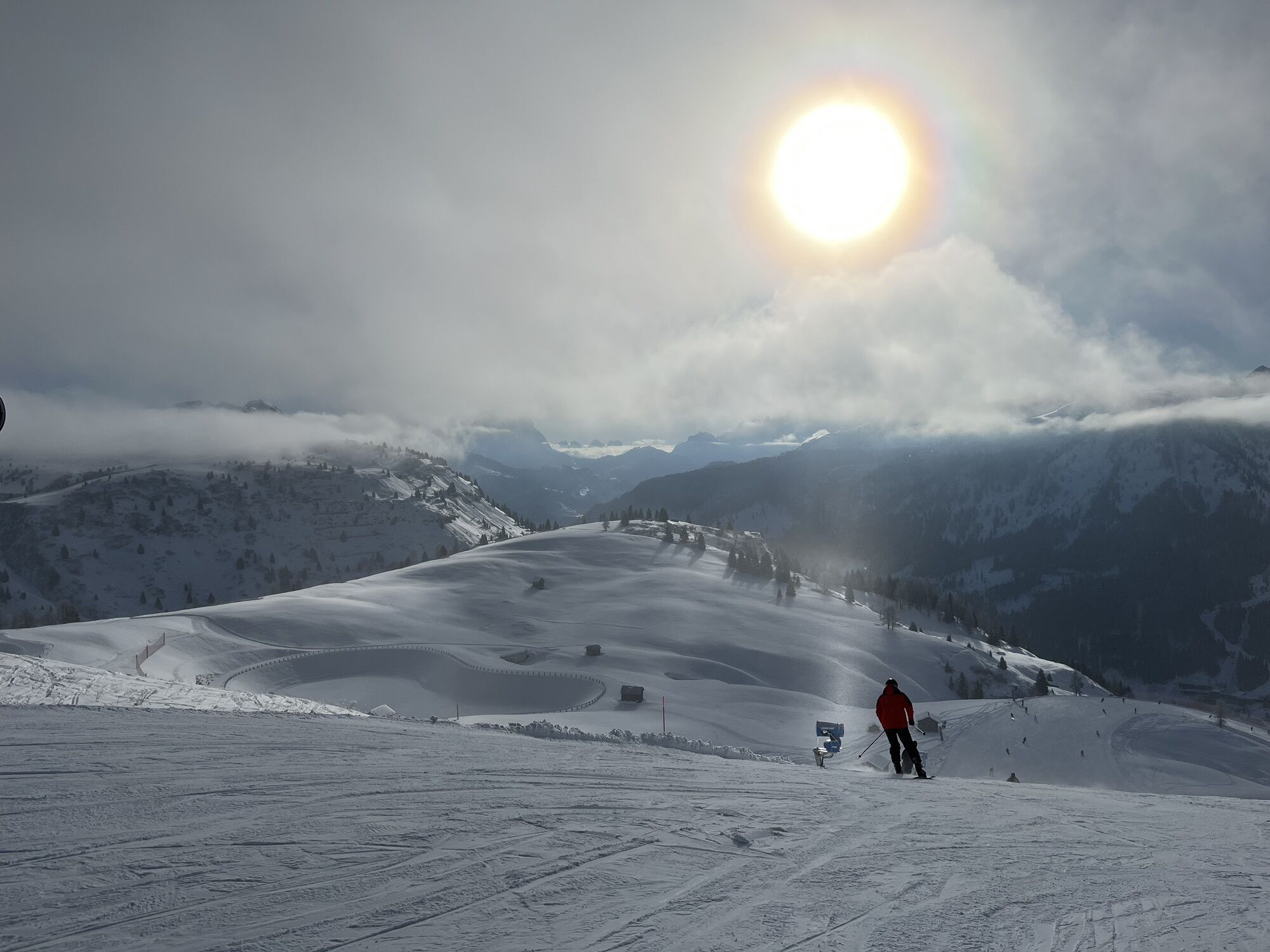
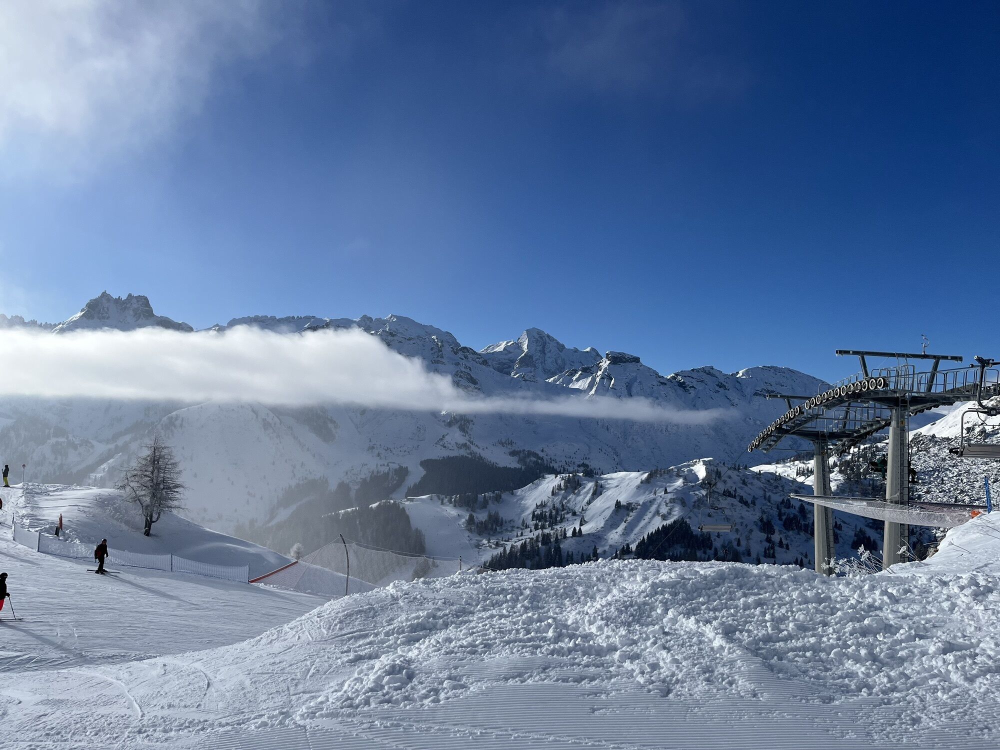
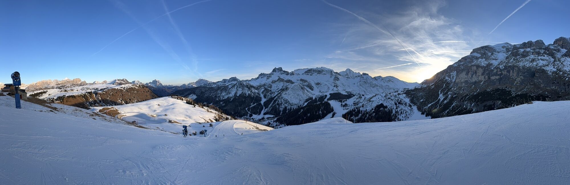
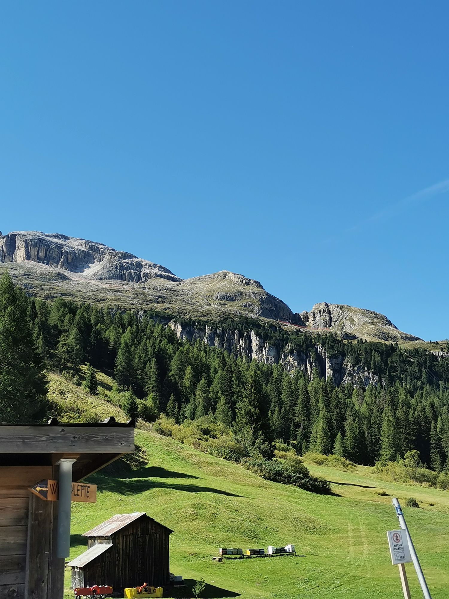
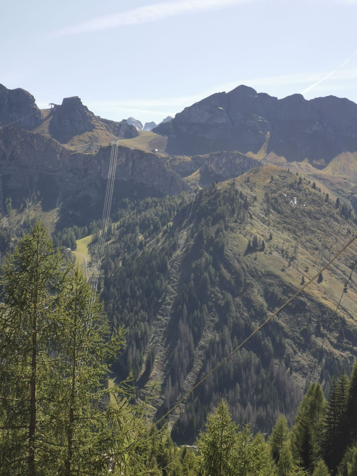
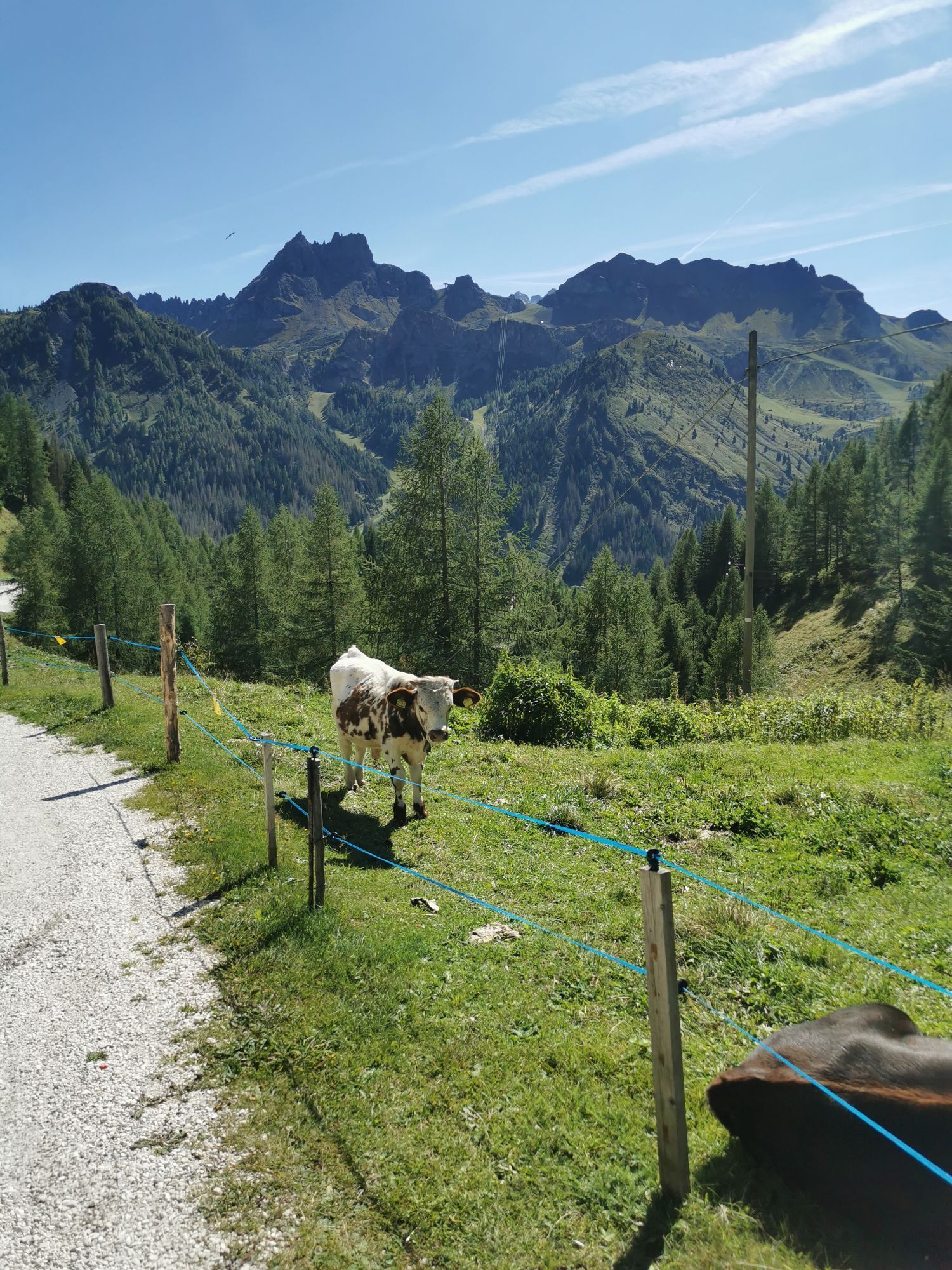
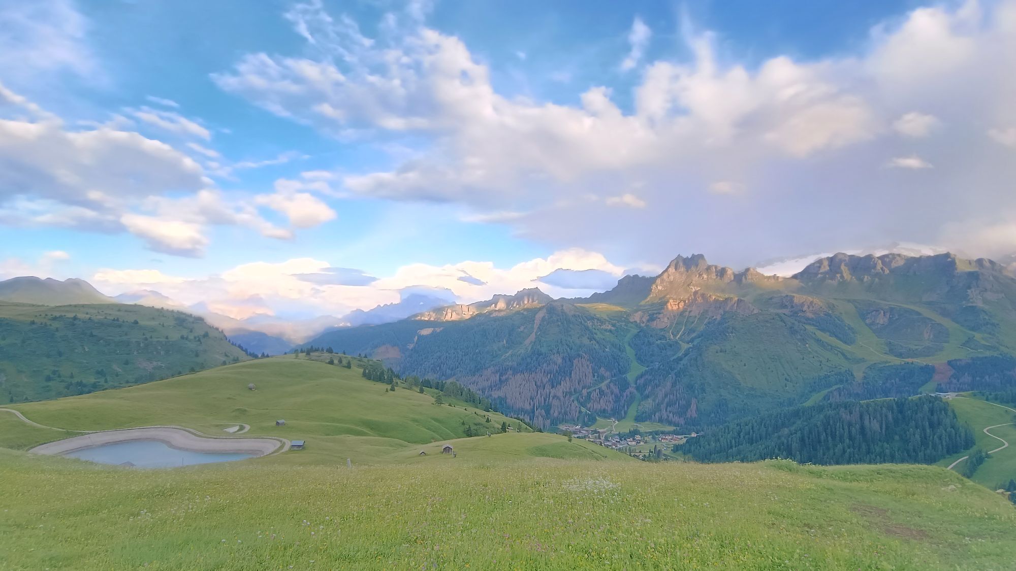
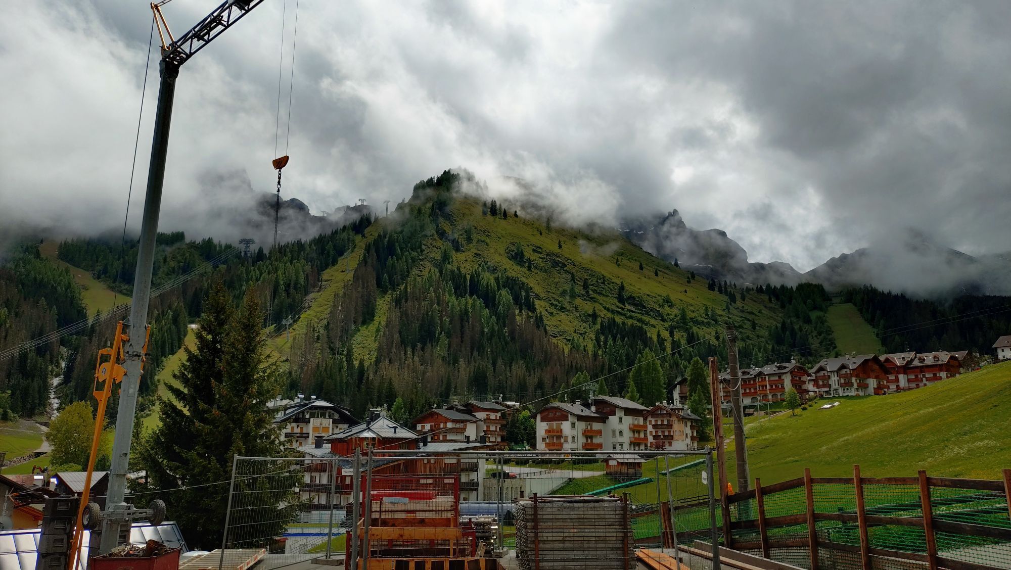
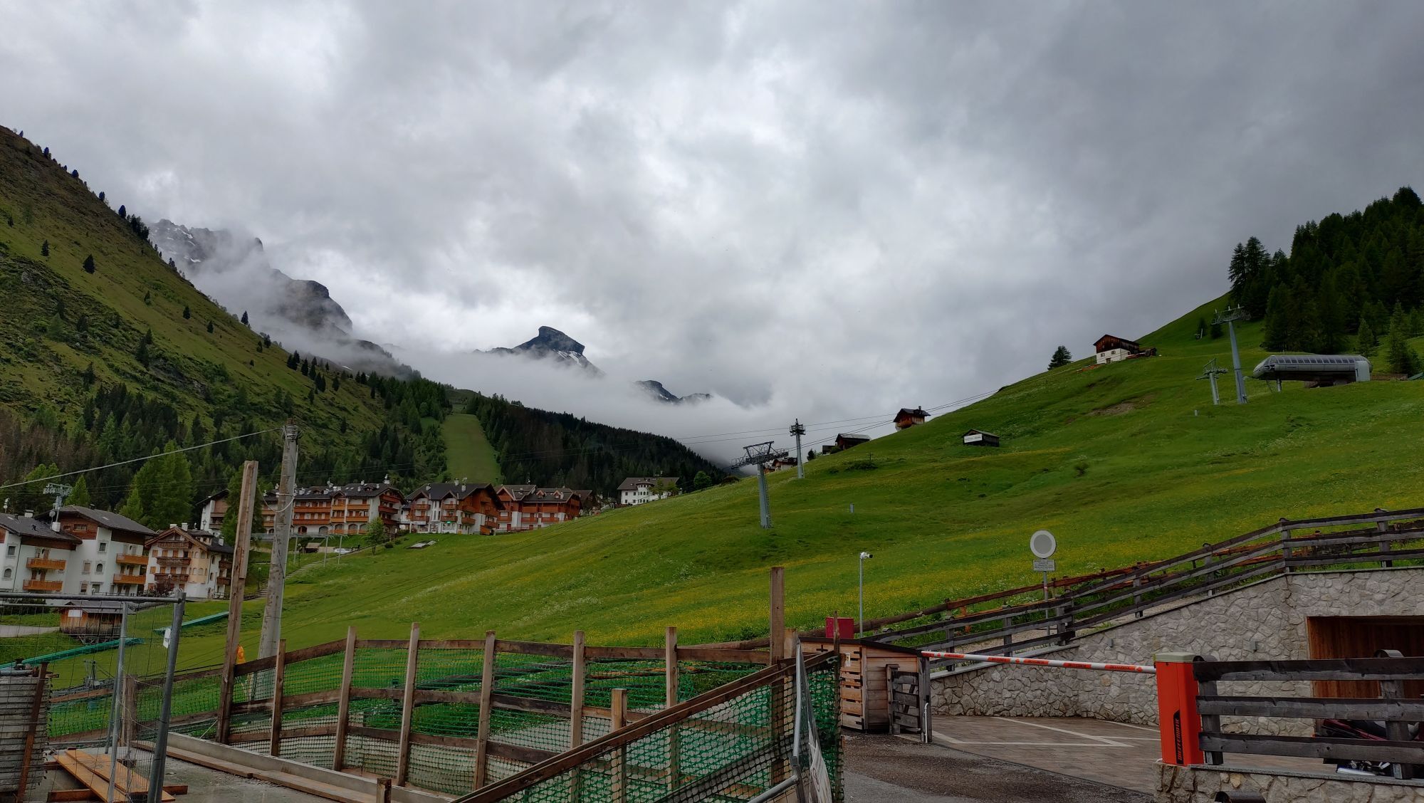
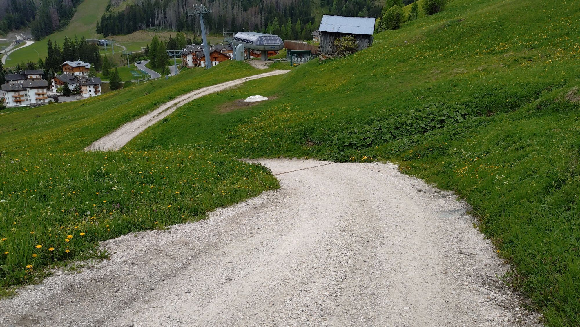
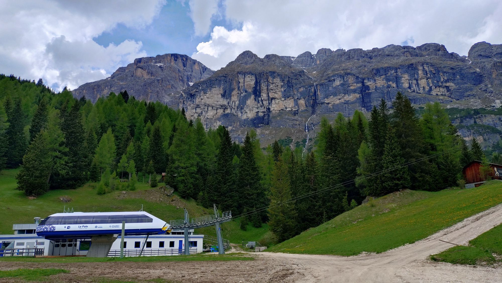
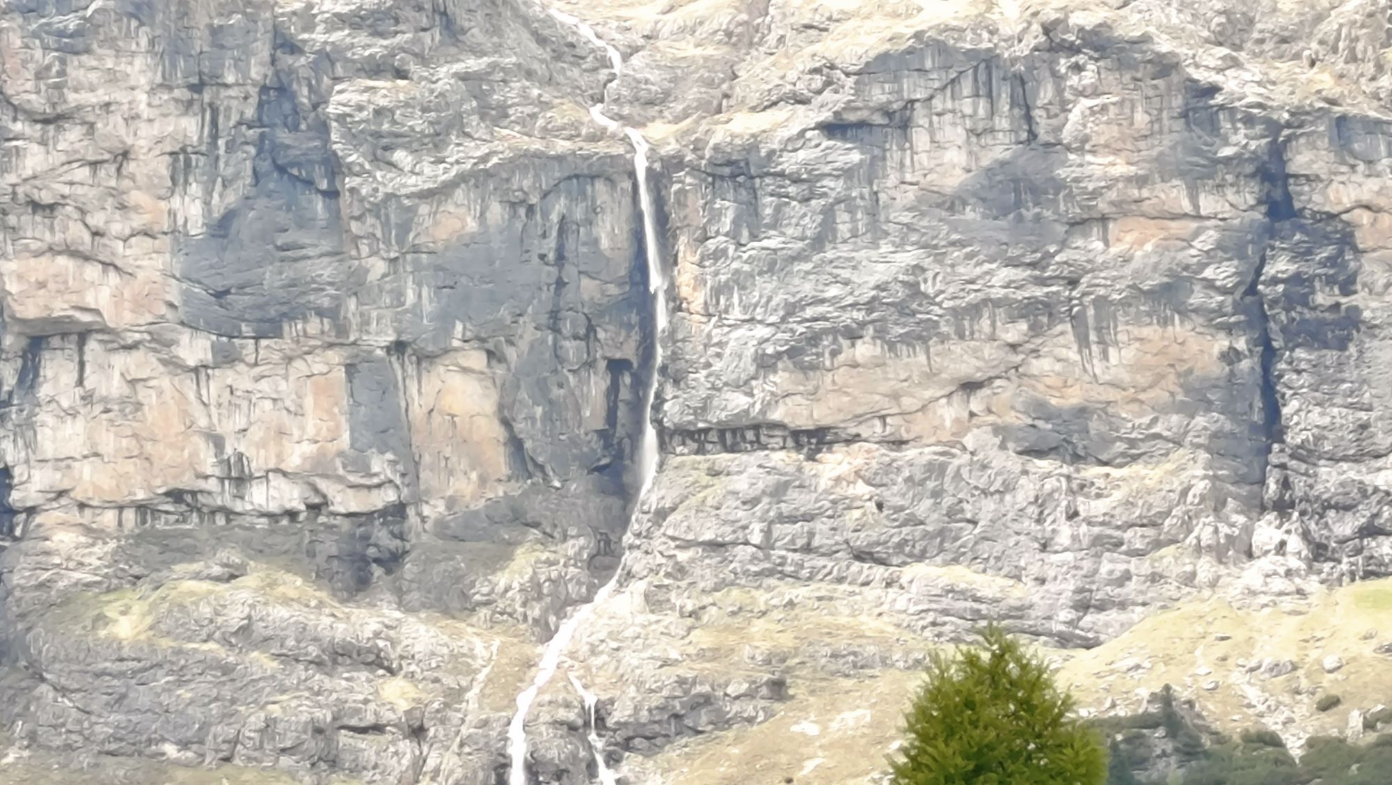
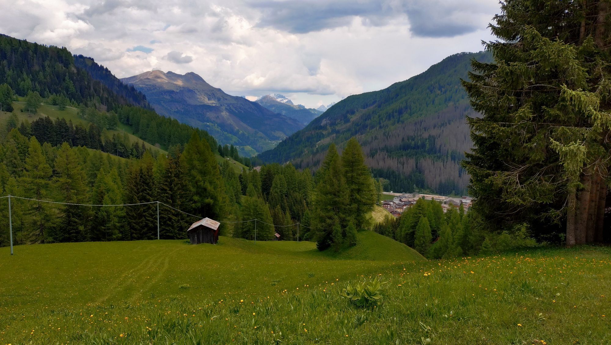
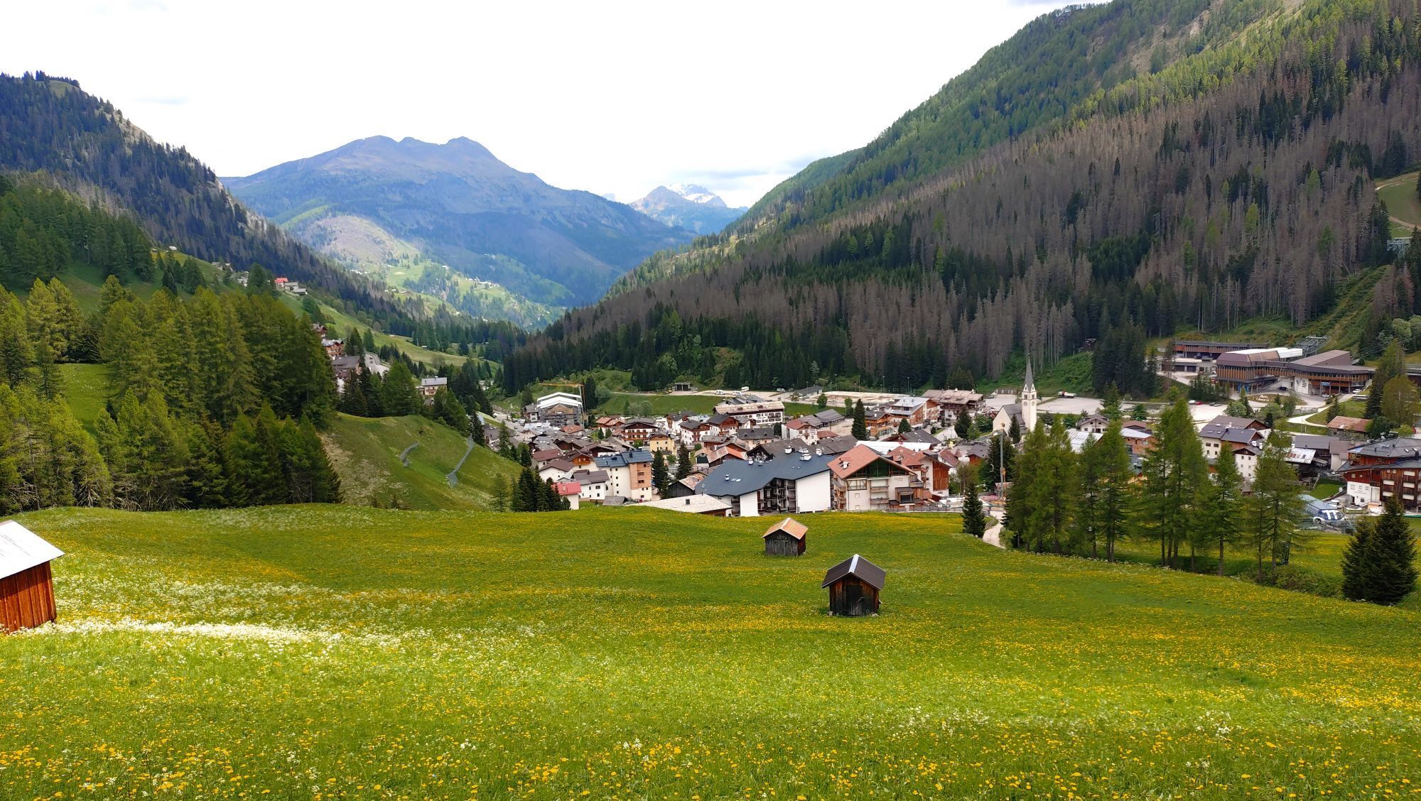
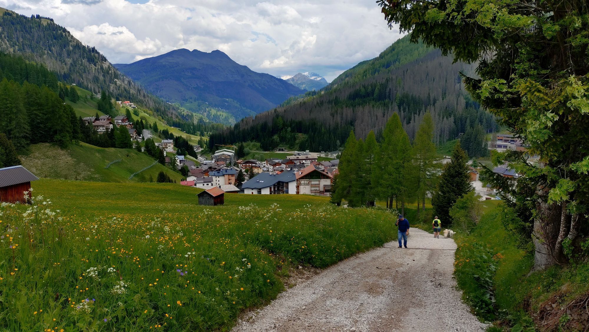
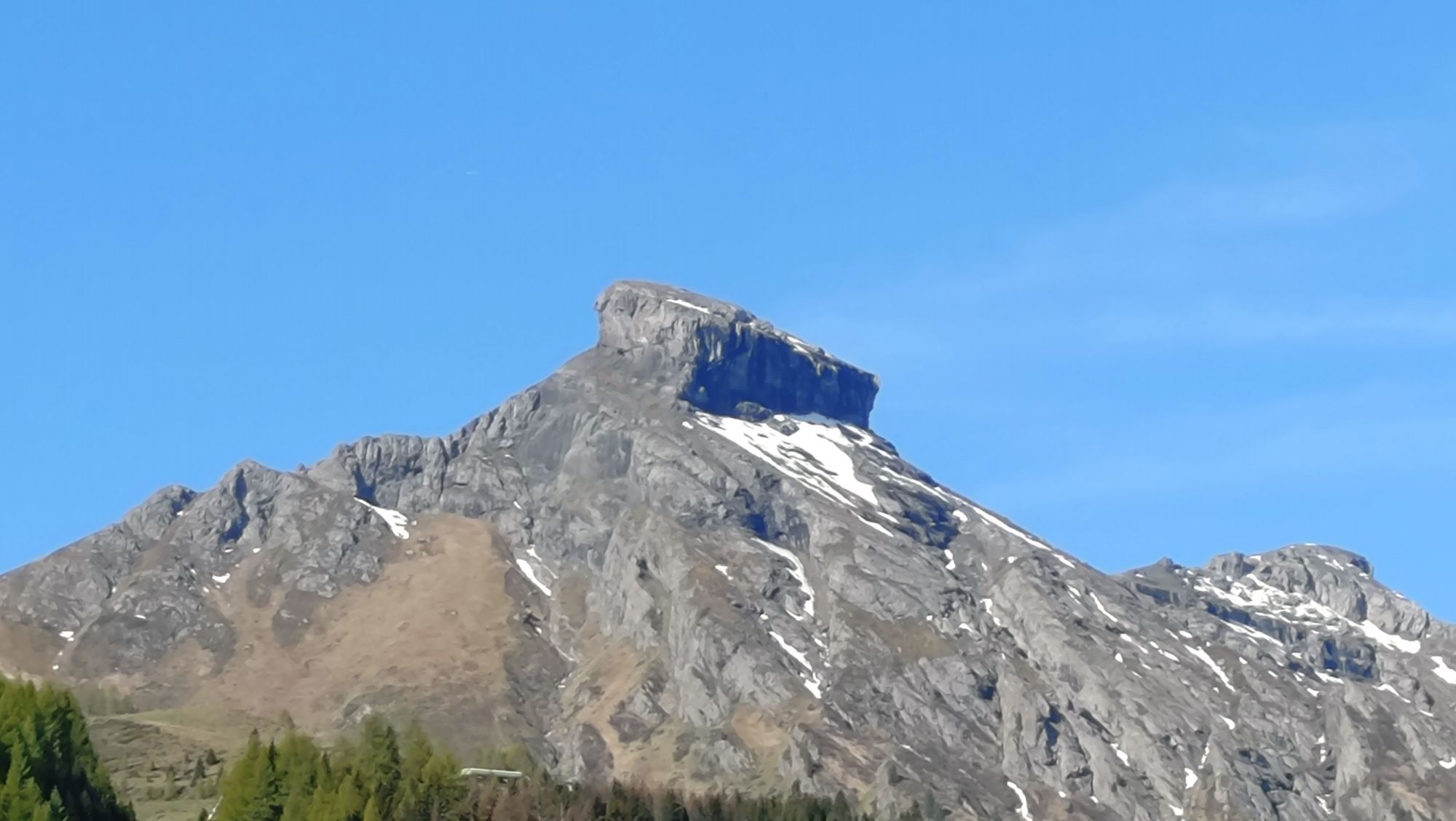
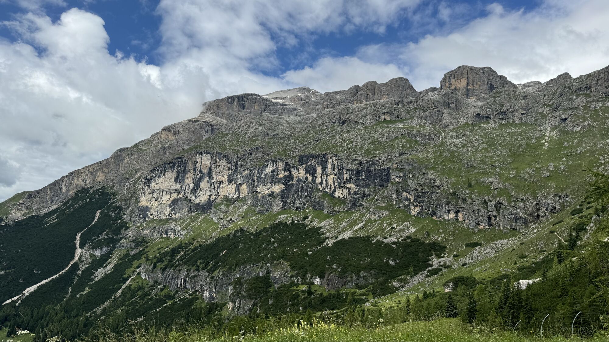
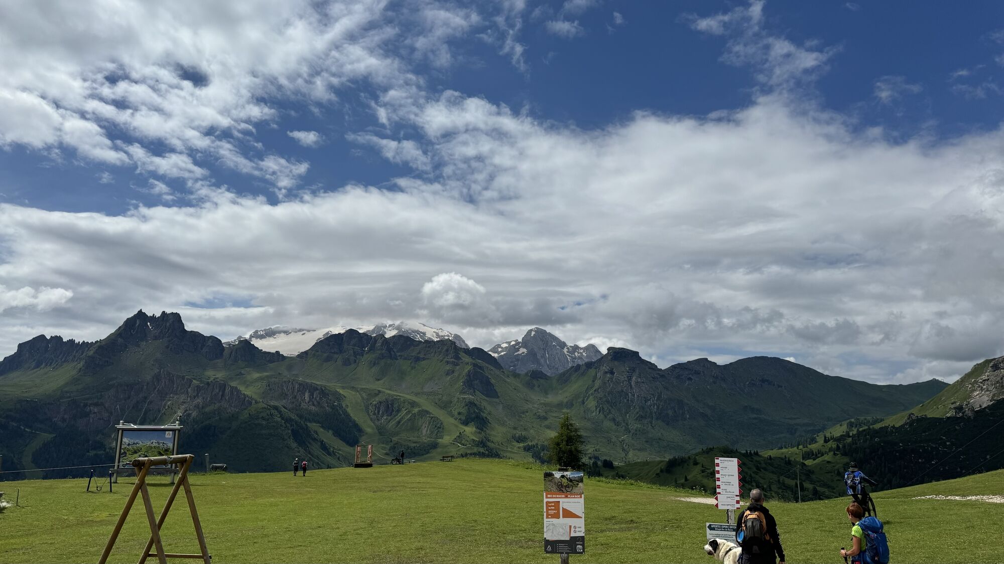
From the center of the village of Arabba, take trail no. 637 towards the Plan Boé Refuge, facing the Sella Massif, and continue across alpine meadows to the Blue pond.
From here, climbing, you reach the...
From the center of the village of Arabba, take trail no. 637 towards the Plan Boé Refuge, facing the Sella Massif, and continue across alpine meadows to the Blue pond.
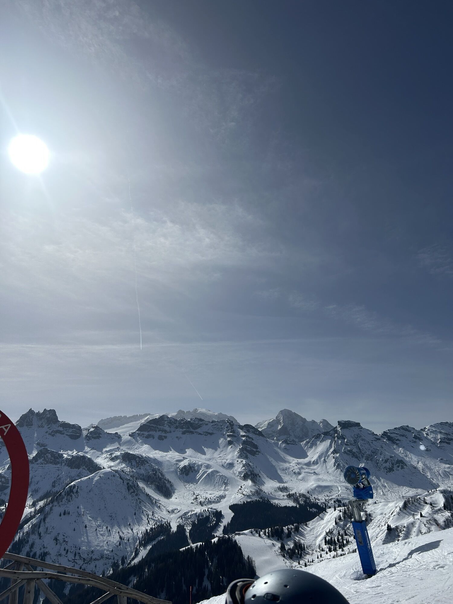
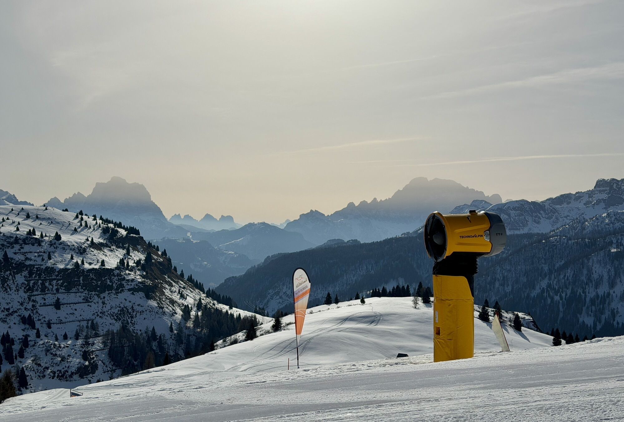
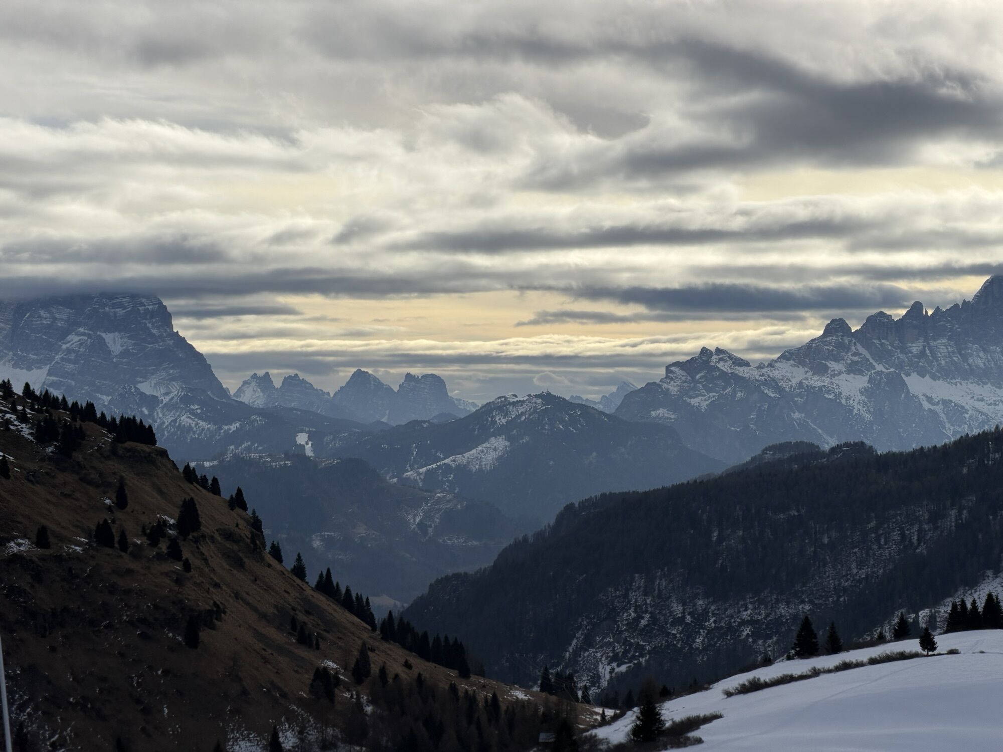
From here, climbing, you reach the Bec de Roces Refuge where a wonderful panorama opens onto the most beautiful Dolomite peaks - UNESCO World Heritage Site.
After a rest stop, it is possible to continue along trail markers 636 and 638 that return to Arabba or, for the less trained, it is possible to take the Campolongo chairlift that leads to the Pass then continue on trail 638 to return to Arabba.
Alternatively, you can return to the village by bus service.
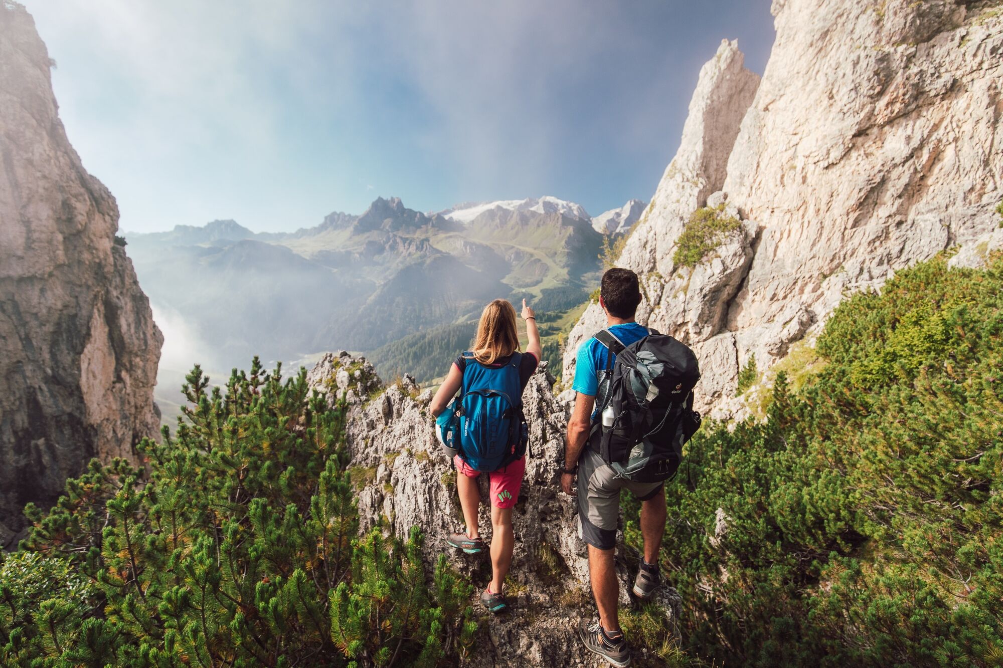
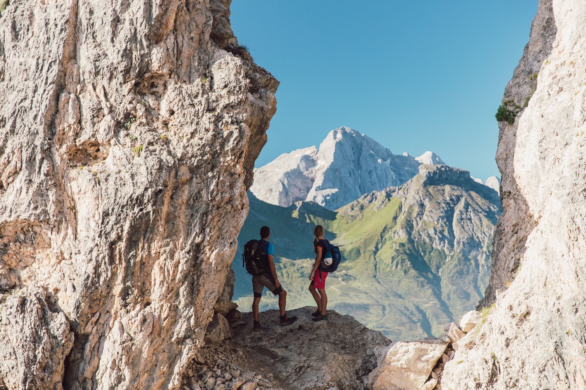
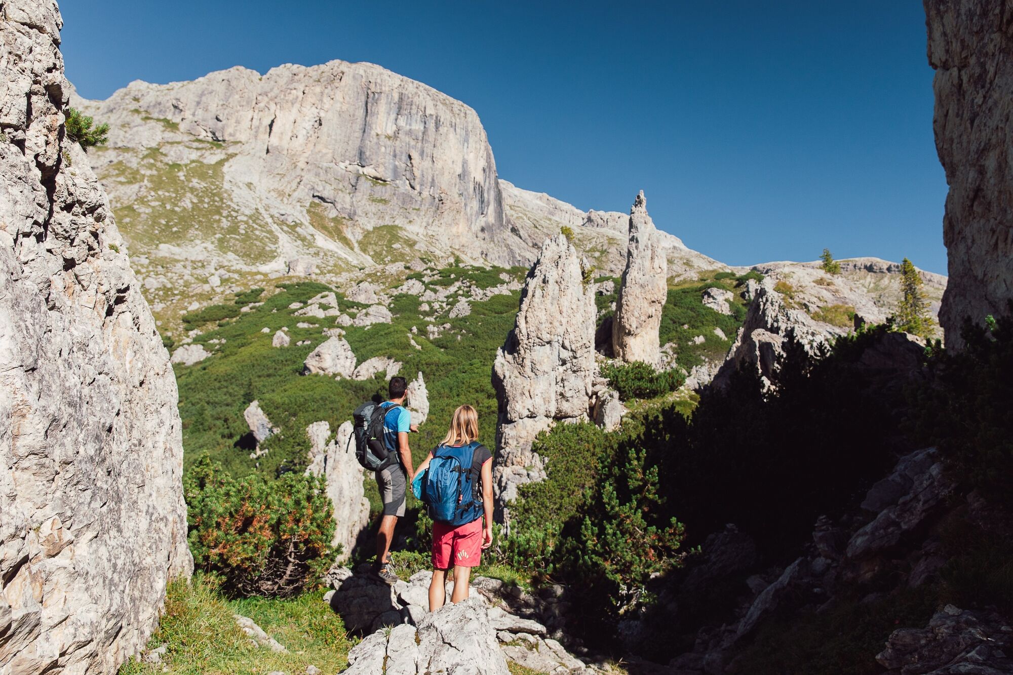
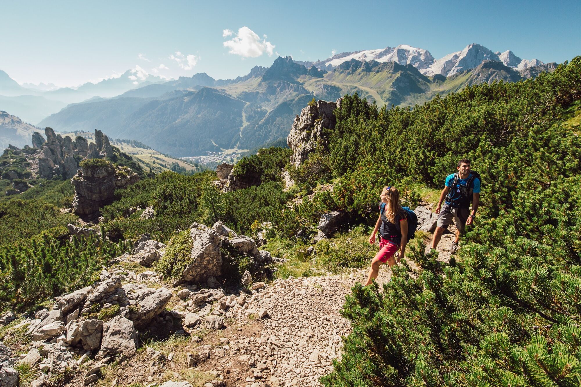
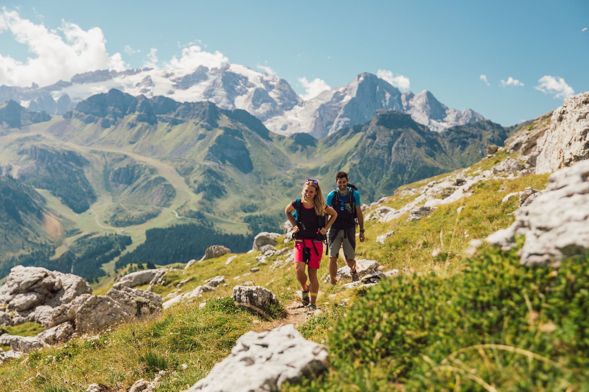
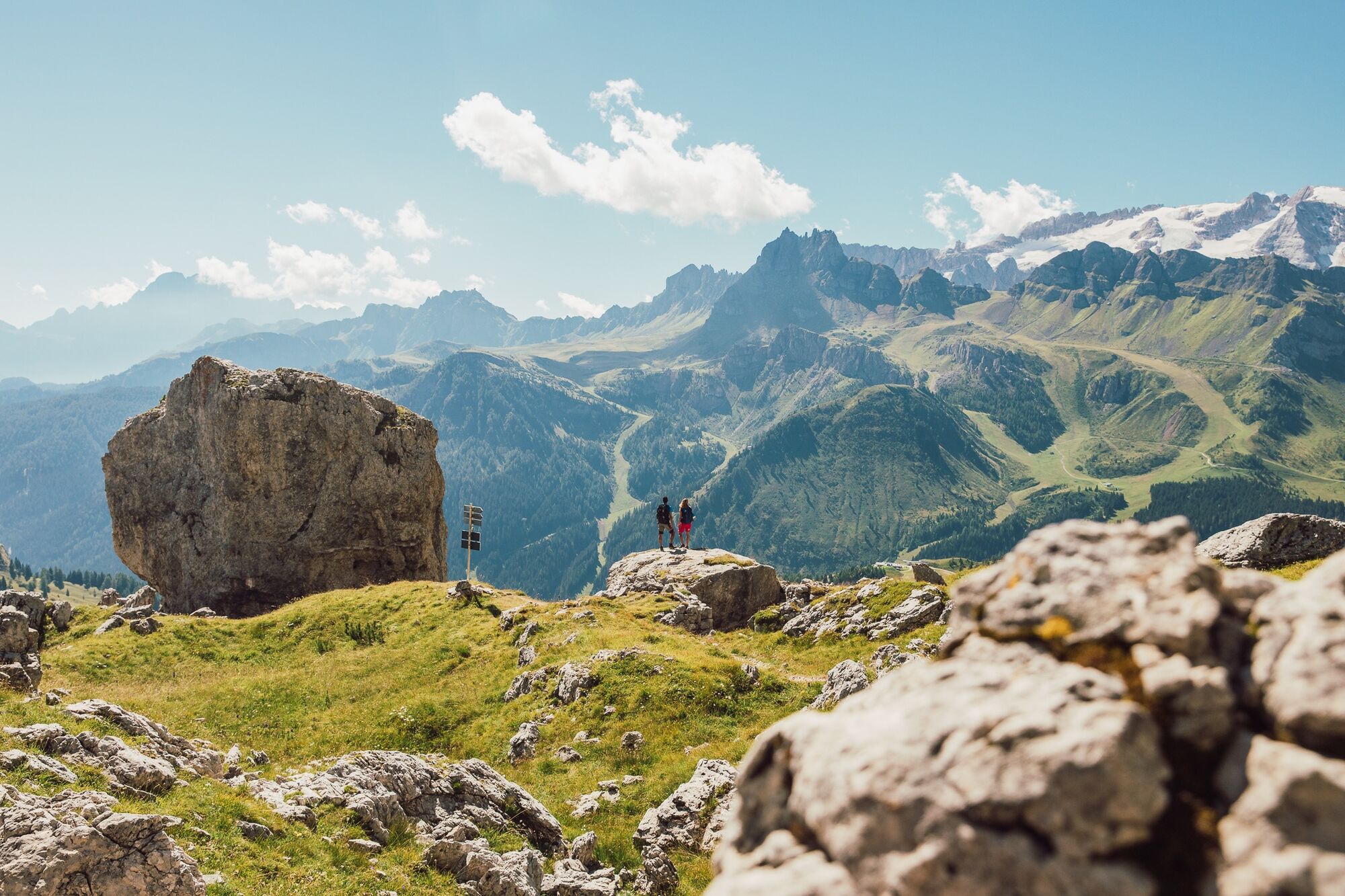
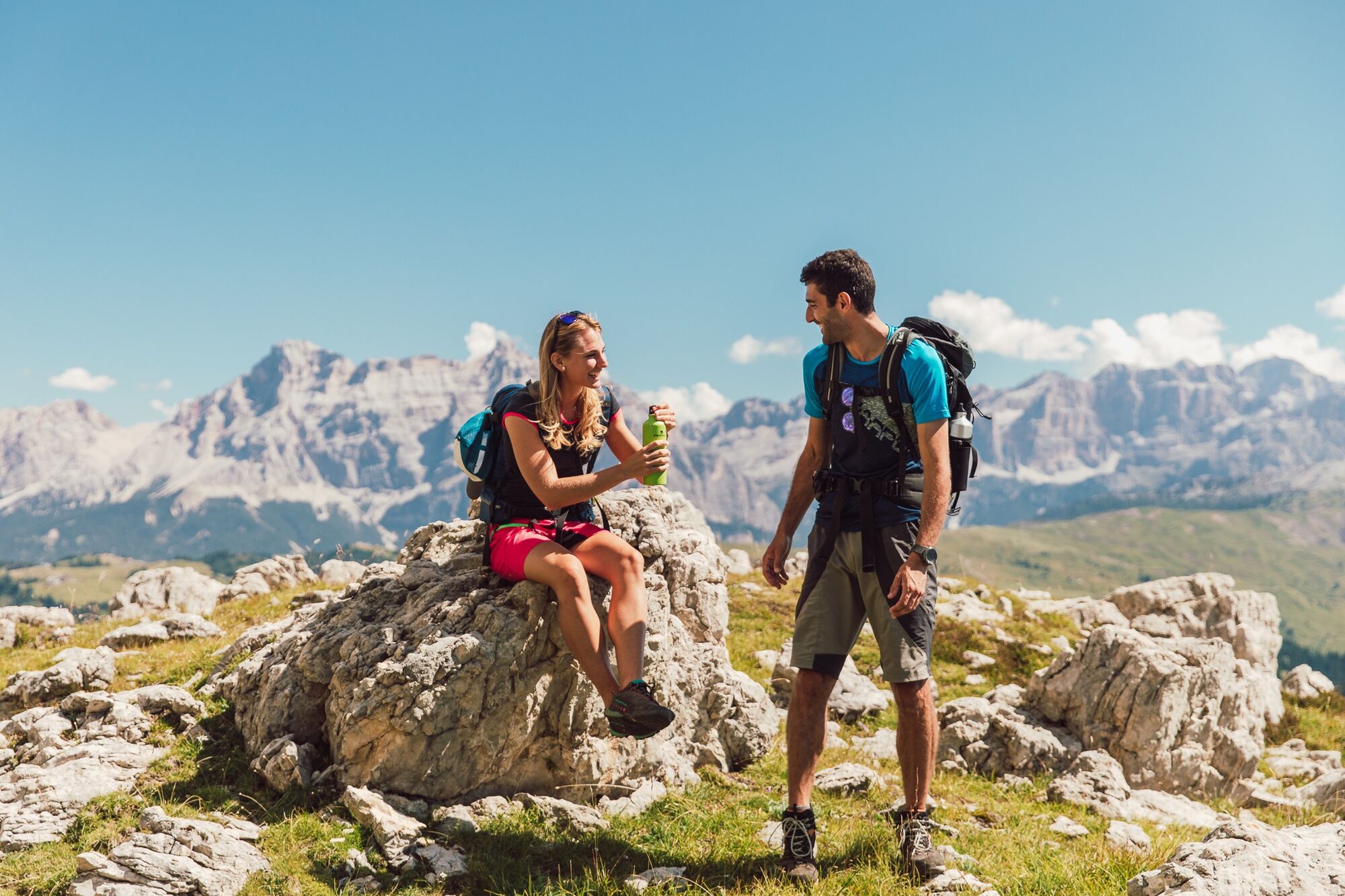
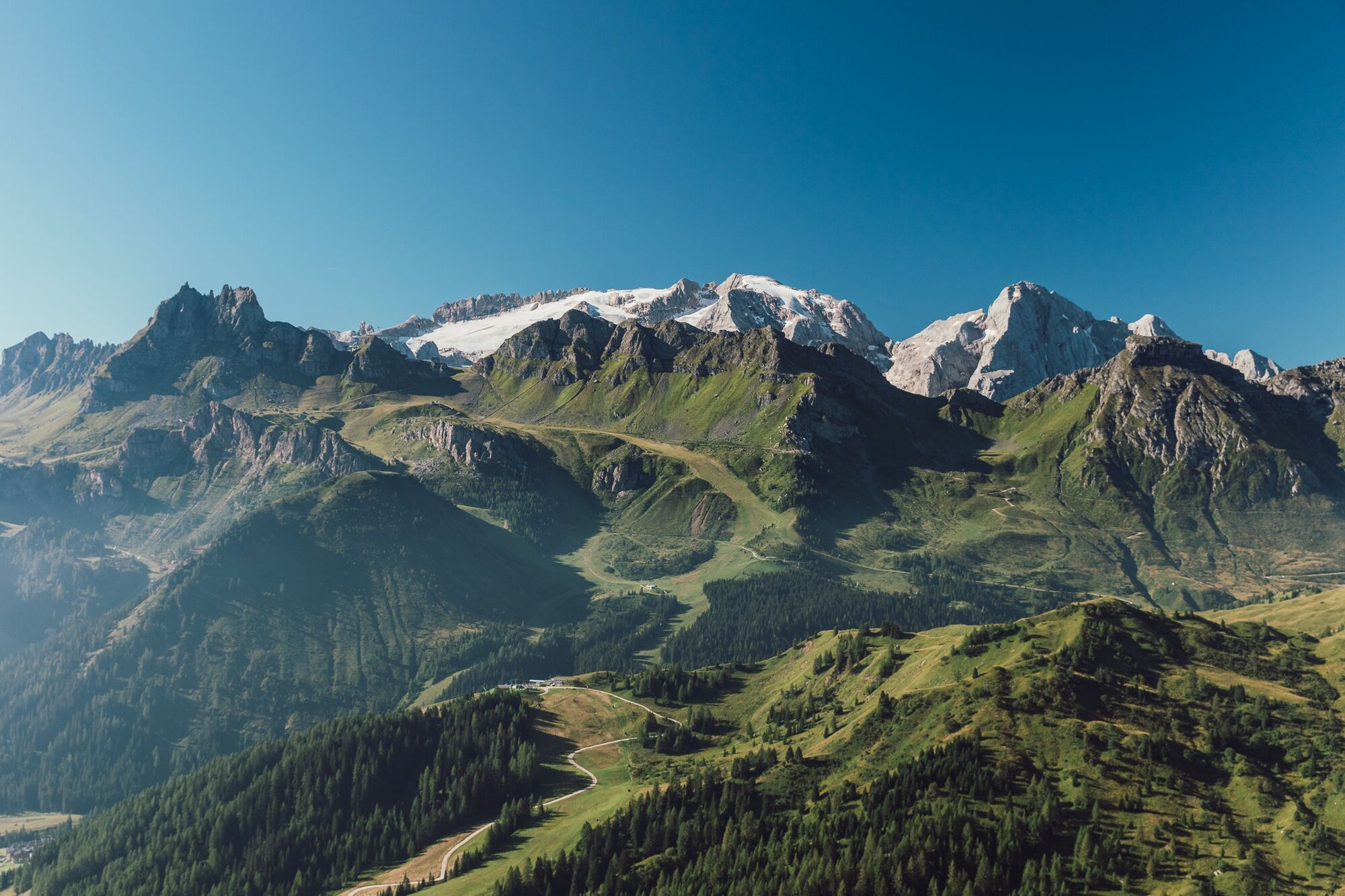
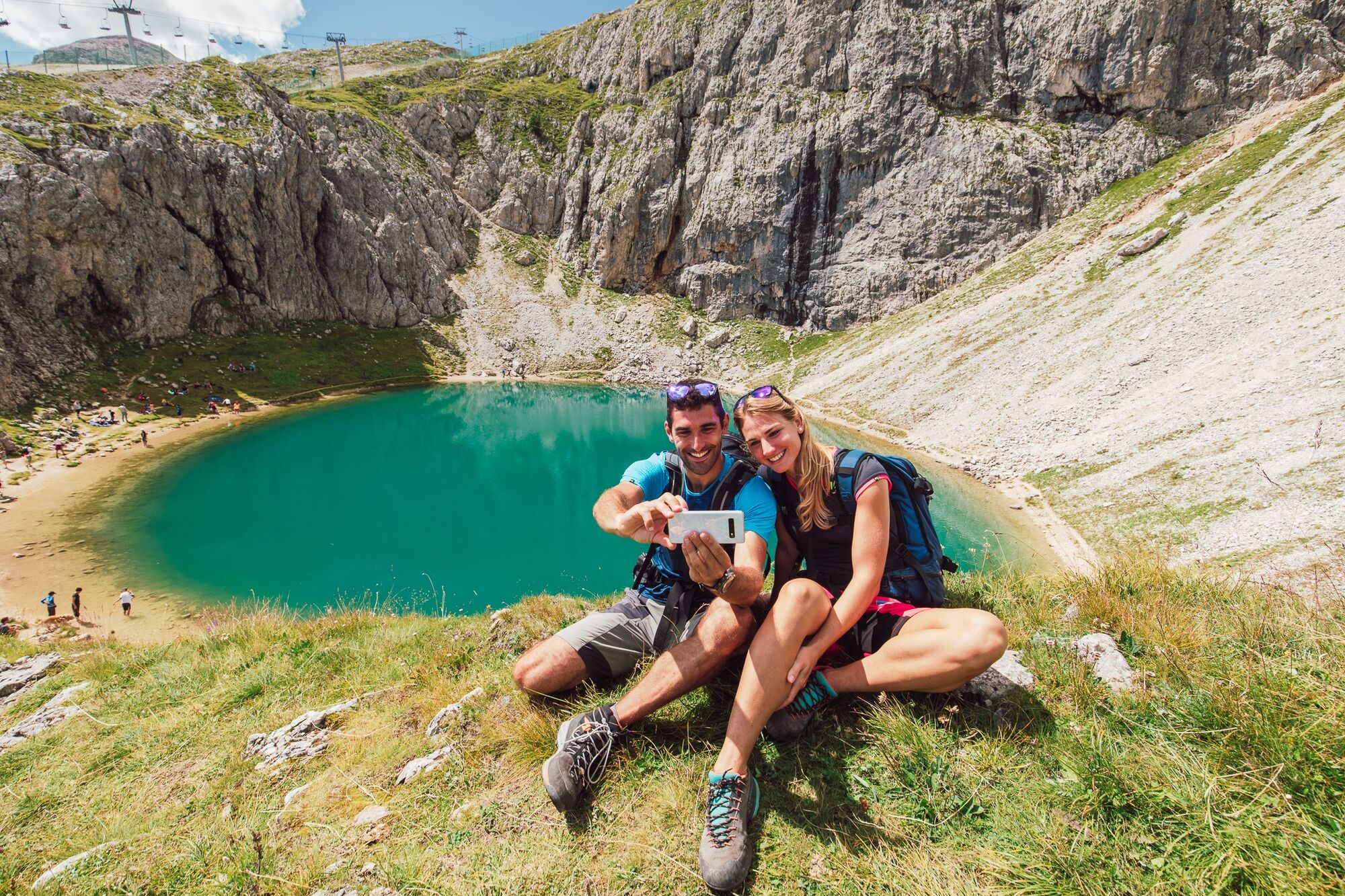

From the center of the village of Arabba, take trail no. 637 toward the Plan Boé Refuge which faces the Sella Massif, and continue across alpine meadows to the "Blue" pond, then climb up to the "Bec de Roces" Refuge.
From here, it is possible to continue on trail markers 636 and 638 that return to Arabba, or for those less trained, you can take the Campolongo Chairlift that takes you to the Pass, then continue on trail 638 to return to Arabba or by bus service.
Áno
Áno
Áno
The hiker's kit:
waterproof backpack or with waterproof cover (not too large if the hike is short) topographic map (alternatively, local map with recommended trails) compass and altimeter (alternatively a sports watch) binoculars water bottles energy bars or snacks chocolate stuffed sandwiches (alternatively lunch in a high-altitude refuge) breathable t-shirt spare t-shirt (preferably breathable) sweatshirt or fleece windproof and waterproof jacket shorts long pants long or mid-calf socks soft, multi-sport hiking boots that wrap around the ankle light cap/headband anti-reflective sunglasses sunscreen trekking poles first aid kit (bandages, disinfectant, gauze, etc.)Always let someone know where you are going and the approximate duration of the hike, and avoid going alone.
The emergency phone numbers are 112 or 118 (ambulance).
By car
From Innsbruck: Brenner Highway A22 to the Bressanone exit, continue through Val Pusteria, Val Badia, and Passo Campolongo. From Verona/Milan: Brenner Highway A22 to the Egna Ora castle, continue through Val di Fiemme, Val di Fassa, Passo Pordoi, Arabba. From Venice: Highway A27 exit Belluno, follow the Agordina 203 to Agordo, Caprile, Arabba.By train
Nearest train stations:
Belluno - 70 km Brunico - 48 km Ponte Gardena - 51 kmBy bus
Brunico - 47 km connection through SAD line www.sad.it Belluno – 70 km connection through Dolomitibus line www.dolomitibus.itBy plane
Venice Treviso/Venice Marco Polo – 160/170 km Innsbruck - 140 km Verona – 270 km Milan Bergamo/Milan Malpensa - 310/400 kmFor the return, it is possible to use the bus service offered by Sad.
Free parking is available near the "Porta Vescovo" cable car and paid parking near the Church of Arabba.
Before leaving, we recommend checking the weather forecast, which in the mountains changes rapidly, and the trail conditions.
"The sustainable hiker's guide":
choose the route based on your physical and technical abilities gather information before departure about the route you intend to undertake (distances, elevation gain, time required, springs, fountains, refuges, lifts, bivouacs, etc.) check the condition of the chosen trail never start a hike alone always carry out all waste please stay on marked trails please keep quiet do not collect stones or minerals do not feed the animals no fires allowed do not pick flowers or plants
Webové kamery z prehliadky
-
Colfosco
-
Alta Badia - Rifugio Ütia de Bioch
-
Arabba - Bec de Roces
-
Arabba - Porta Vescovo
-
Pordoi - Pass
-
Piz Arlara
-
Piz Arlara
-
Piz Arlara
-
Piz Arlara
-
Piz Arlara
-
Piz Arlara
-
Boé
-
Boé
-
Boé
-
Boé
-
Boé
-
Boé
-
Pordoi - Pass
-
Mezdi Bergstation
-
Mezdi Bergstation
-
Mezdi Bergstation
-
Mezdi Bergstation
-
Mezdi Bergstation
-
Colfosco - Corvara in Badia / Hotel Luianta
-
Sass Pordoi - Altopiano del Boe
-
Sass Pordoi - Altopiano del Boe
-
Sass Pordoi - Altopiano del Boe
-
Sass Pordoi - Altopiano del Boe
-
Sass Pordoi - Altopiano del Boe
-
Sass Pordoi - Altopiano del Boe
-
Sass Pordoi - Altopiano del Boe
-
Sass Pordoi - Altopiano del Boe
-
Sass Pordoi - Altopiano del Boe
-
Sass Pordoi - Altopiano del Boe
-
Sass Pordoi - Altopiano del Boe
-
Sass Pordoi - Altopiano del Boe
-
Sass Pordoi - Altopiano del Boe
-
Sass Pordoi - Altopiano del Boe
-
Sass Pordoi - Altopiano del Boe
-
Sass Pordoi - Altopiano del Boe
Získajte prehľad
Vždy naživo na mieste s viac ako 9 500 webovými kamerami. bergfex Ako používateľ Pro si teraz môžete pozrieť príslušné webové kamery pre mnohé zájazdy v aplikácii zájazdy z. Môžete si tak priamo prezerať aktuálne podmienky.
Obľúbené výlety v okolí
-
4,8
The Munkelweg trail beneath the Geisler peaks
strednáTuristika 9,11 km -
4,7
Pordoi Pass - Sass Pordoi - Forcella Pordoi - Piz Boè - Boè Refuge - Forcella Pordoi - Pordoi Pass
ťažkéTuristika 8,39 km -
5,0
Langkofel Klettersteig/Ferrata Furcela de Saslonch
ťažkéVia ferrata 7,07 km -
5,0
Um den Langkofel
strednáTuristika 9,76 km -
4,0
Der Friedrich-August-Weg
strednáTuristika 10,4 km -
4,9
Lang- und Plattkofel Umrundung
strednáTuristika 17,5 km -
4,8
Langkofel-Umrundung
strednáTuristika 12,9 km -
4,8
Passo Giau roundtrip
strednáTuristika 8,10 km -
4,8
Vom Col Raiser über die Seceda und Pieralongia zur Regensburger Hütte
strednáTuristika 10,4 km -
4,7
Five Towers Tour (Averau, Nuvolau and Scoiattoli refuges) from Giau Pass
strednáTuristika 10,8 km
Turistika a stopovanie


Nenechajte si ujsť ponuky a inšpiráciu na ďalšiu dovolenku
Vaša e-mailová adresa bol pridaný do poštového zoznamu.





