







Saarbrücker Hütte Tour
Úroveň náročnosti: 4
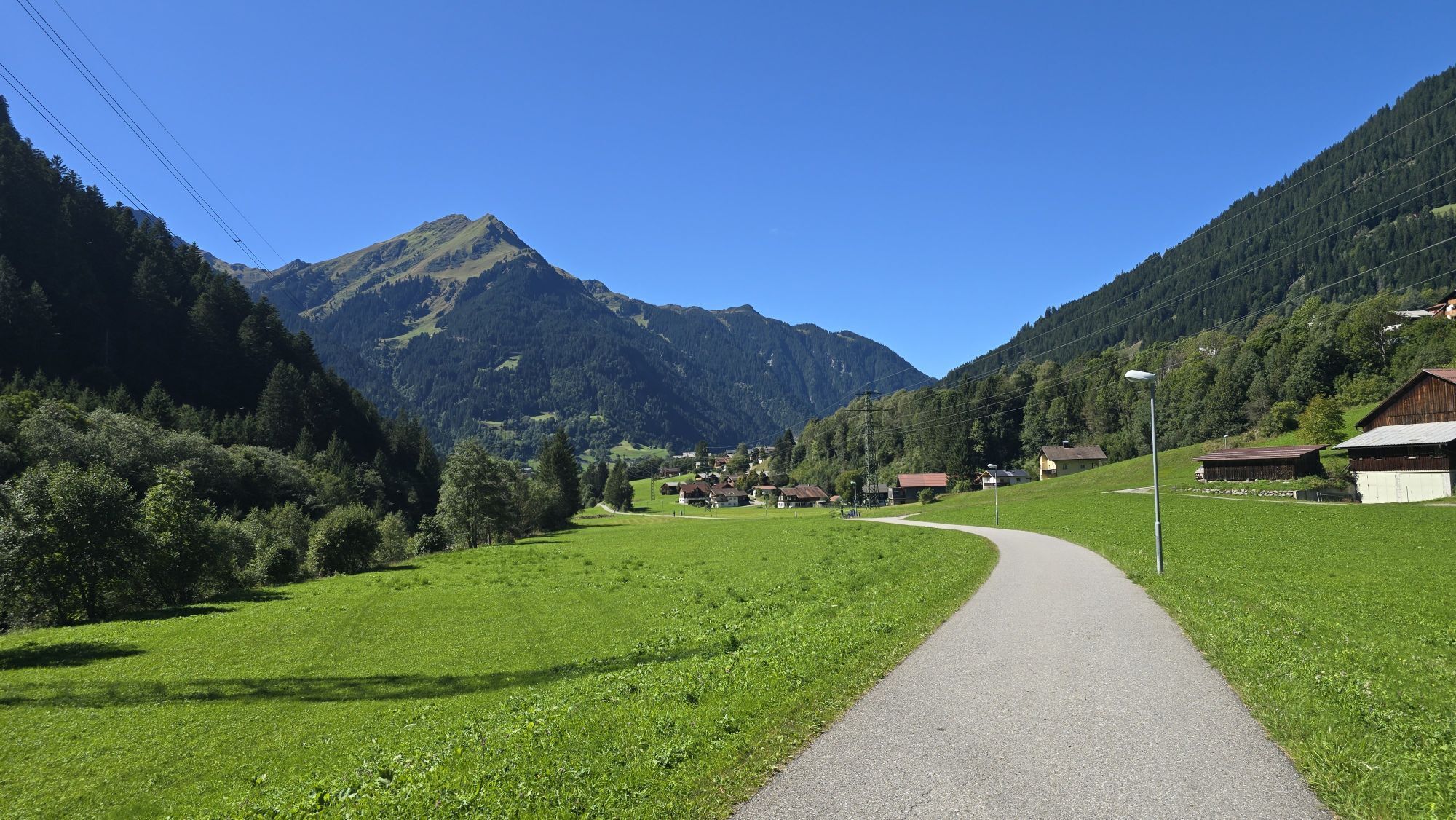
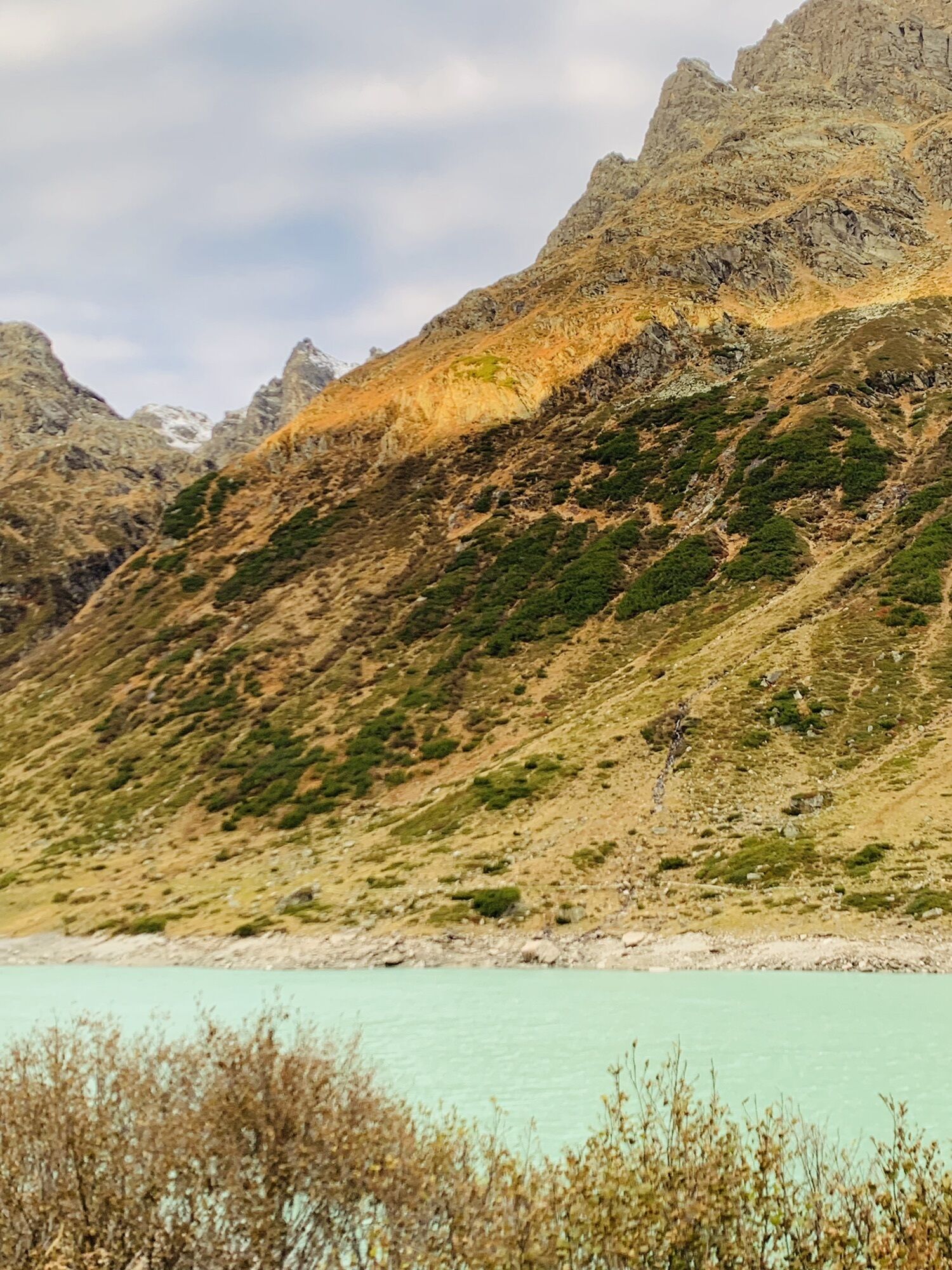
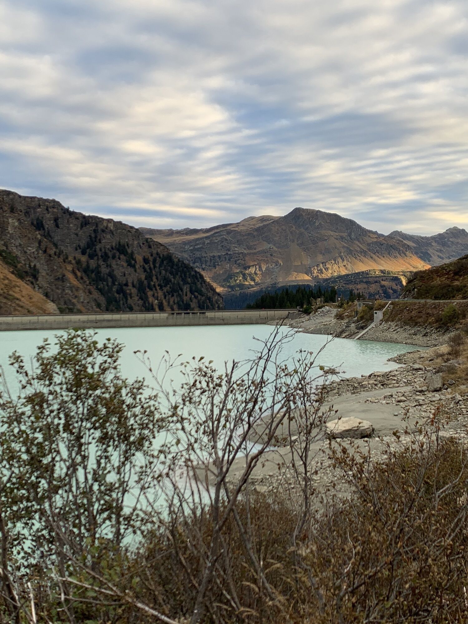
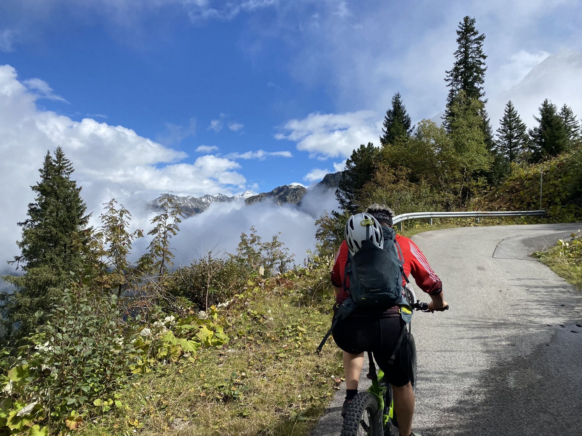
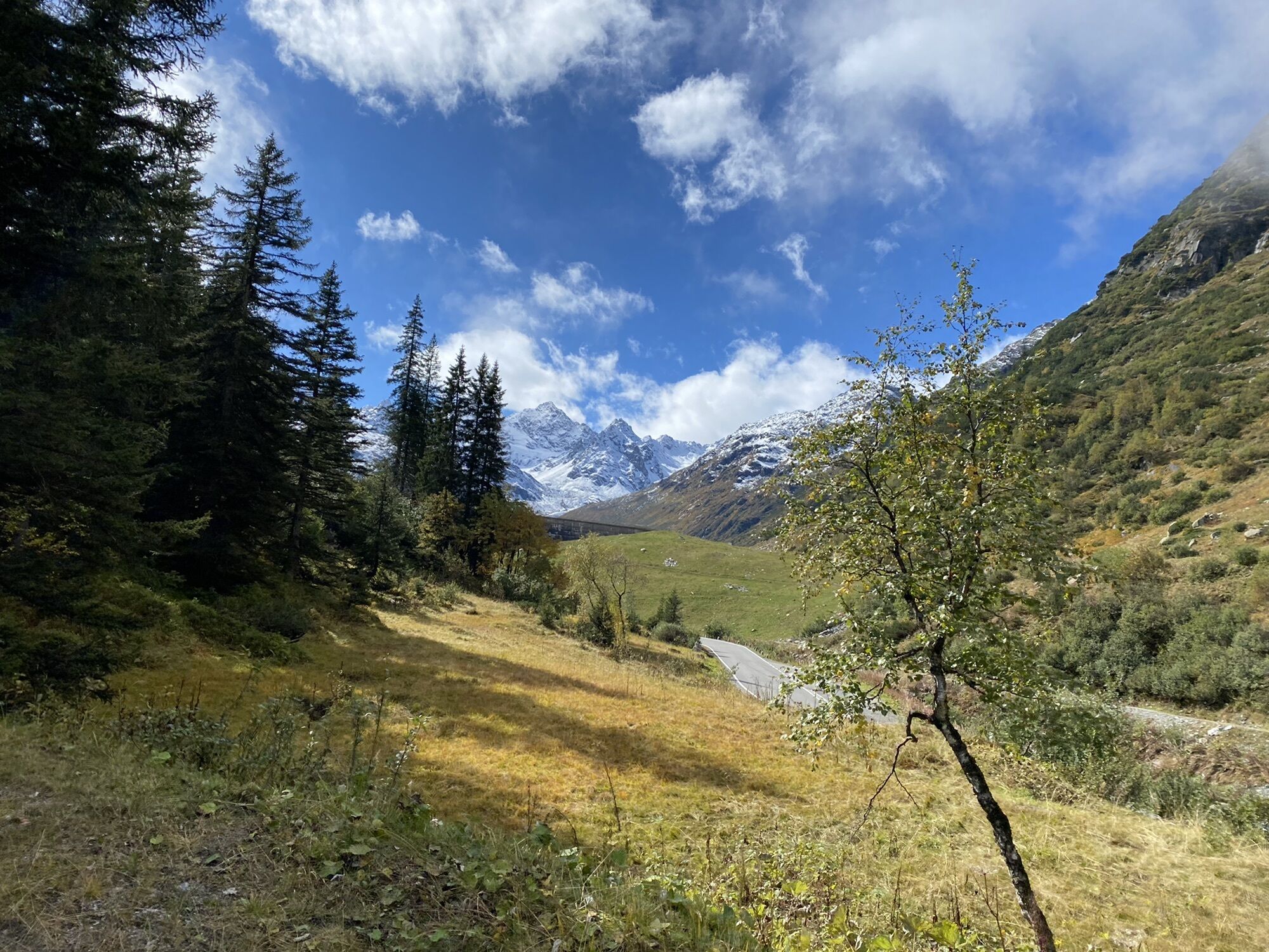
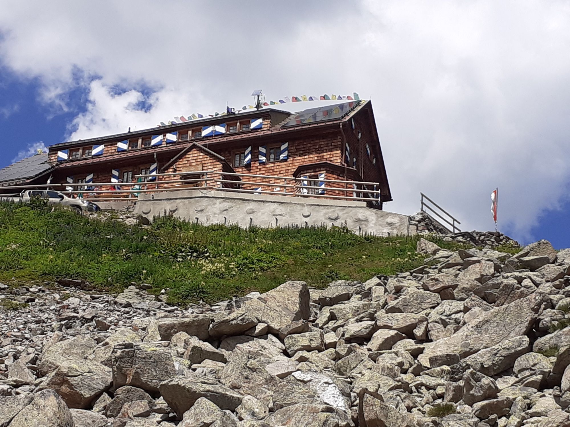
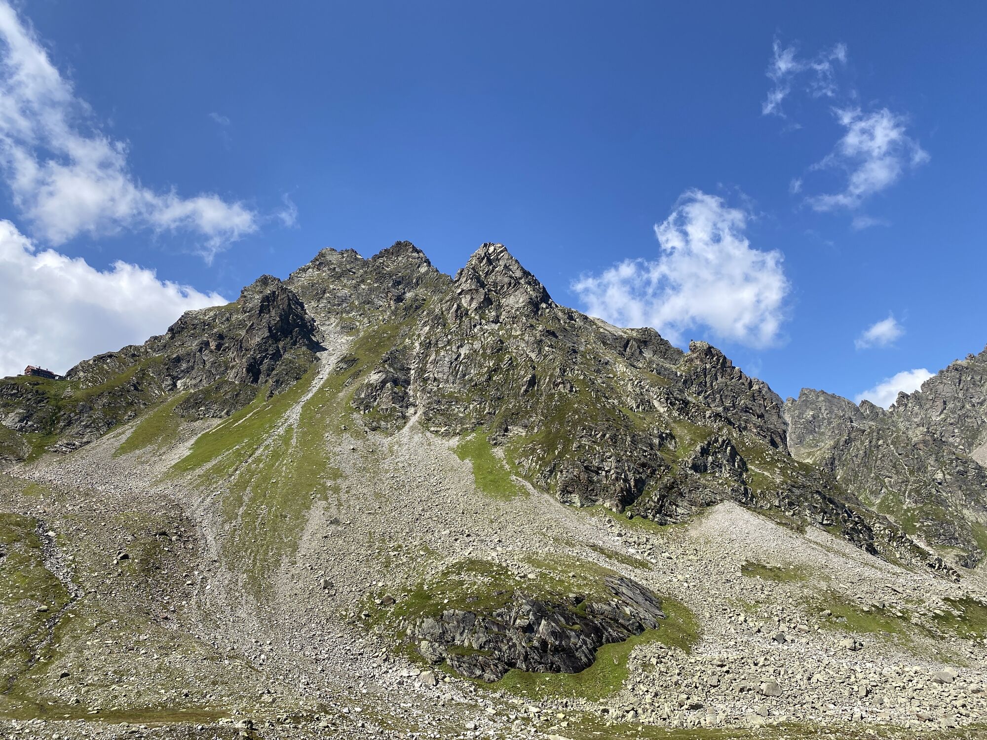
A hearty beef soup, sweet Kaiserschmarrn and a magnificent view – all this awaits you as a reward after the physical effort to the Saarbrücker Hütte. But also the scenic panoramic descent back to Partenen...
A hearty beef soup, sweet Kaiserschmarrn and a magnificent view – all this awaits you as a reward after the physical effort to the Saarbrücker Hütte. But also the scenic panoramic descent back to Partenen makes you forget every effort.

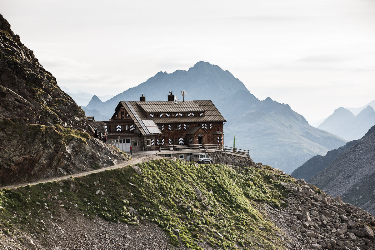
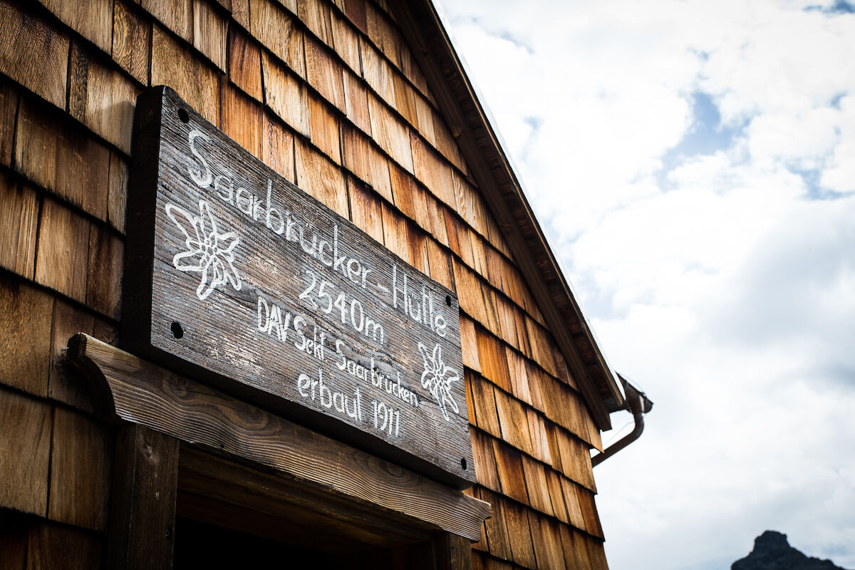
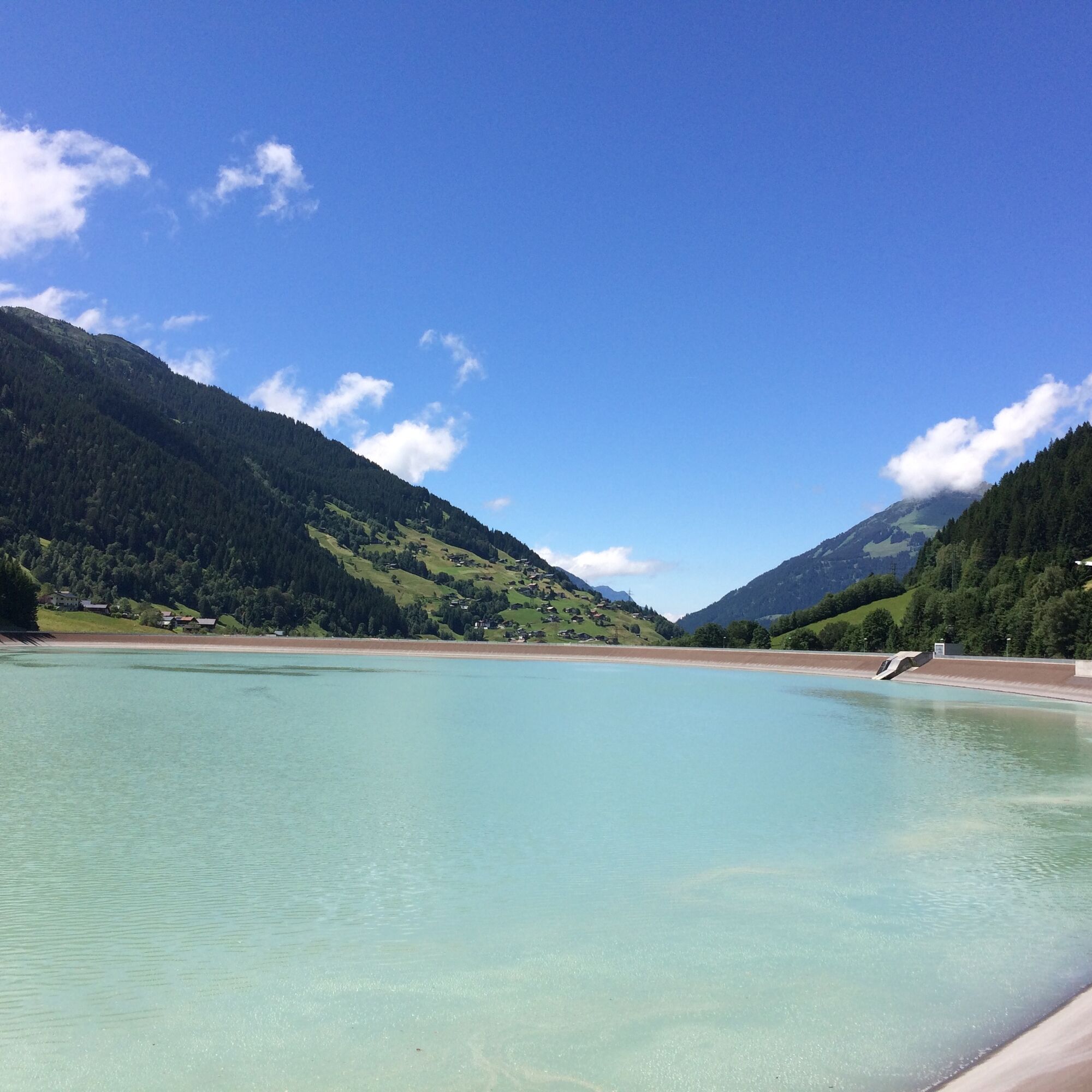
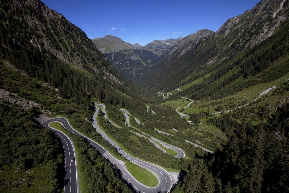
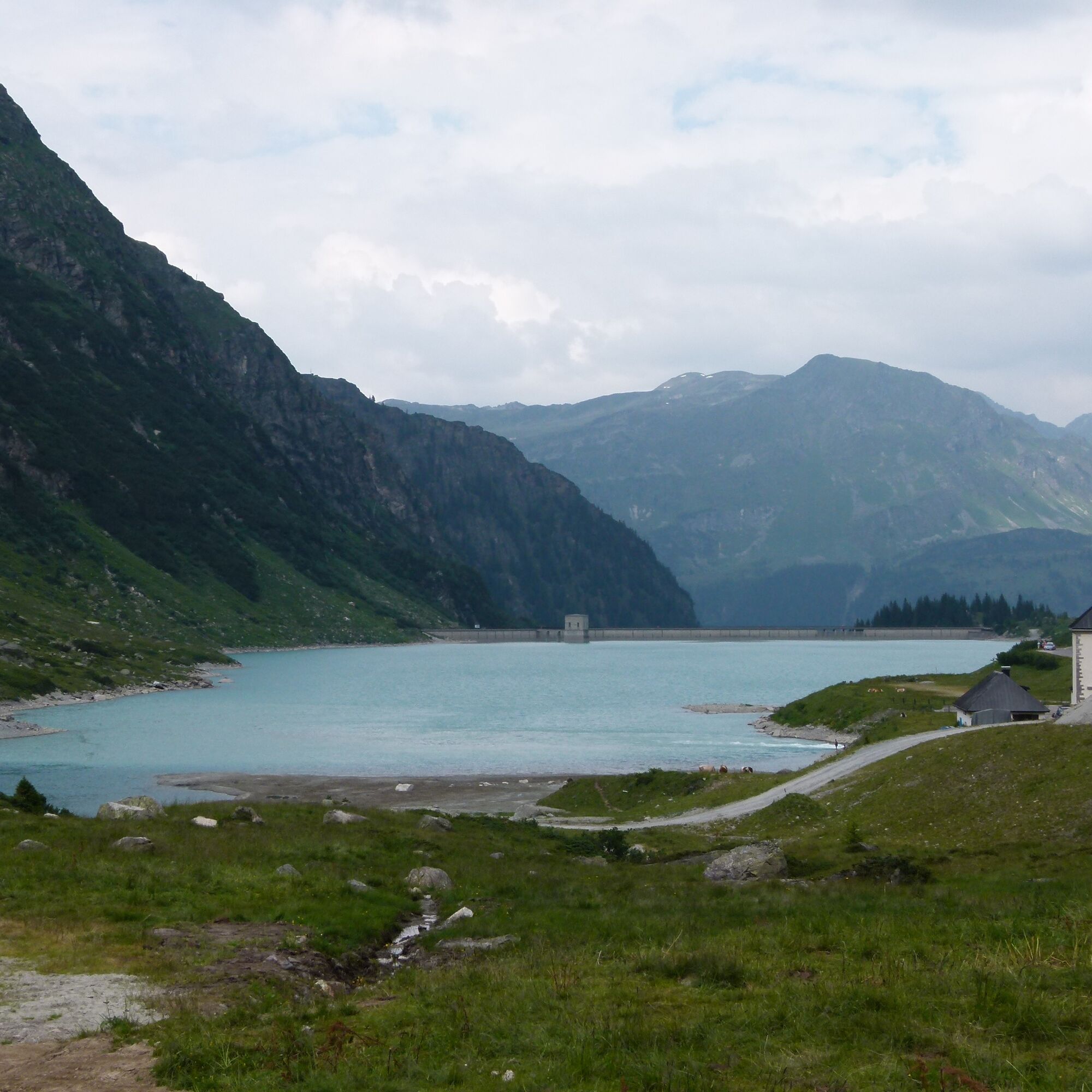

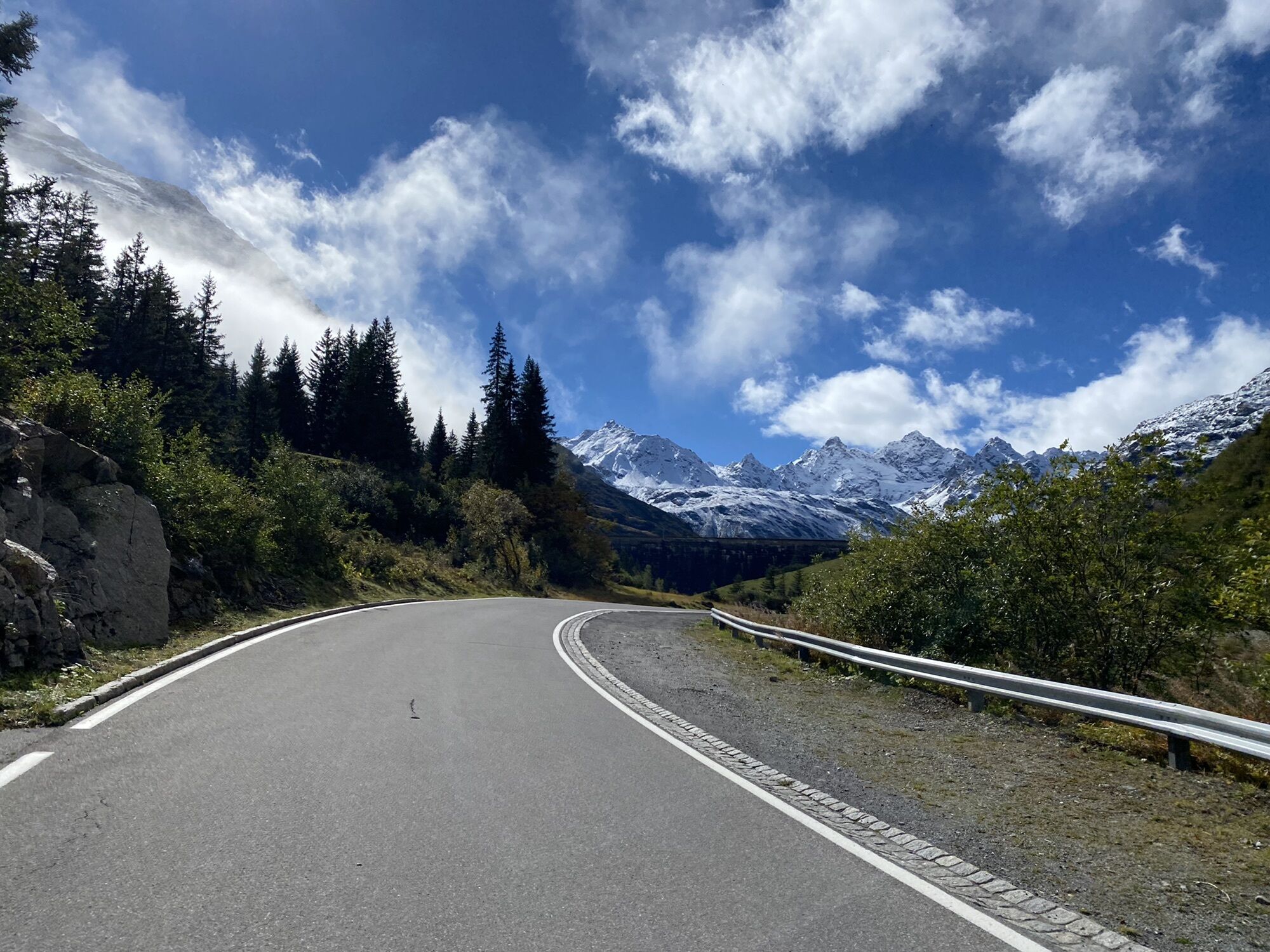
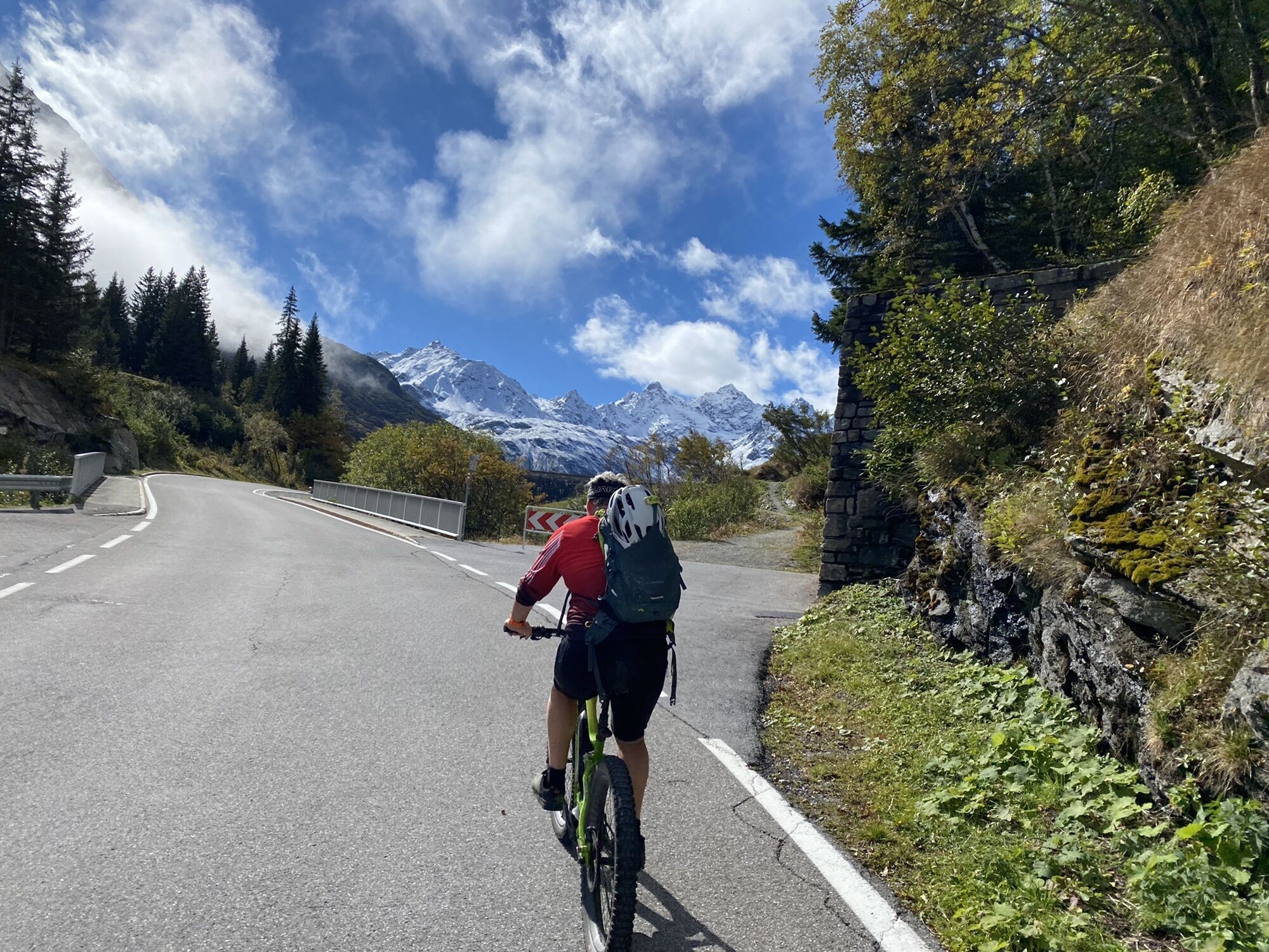
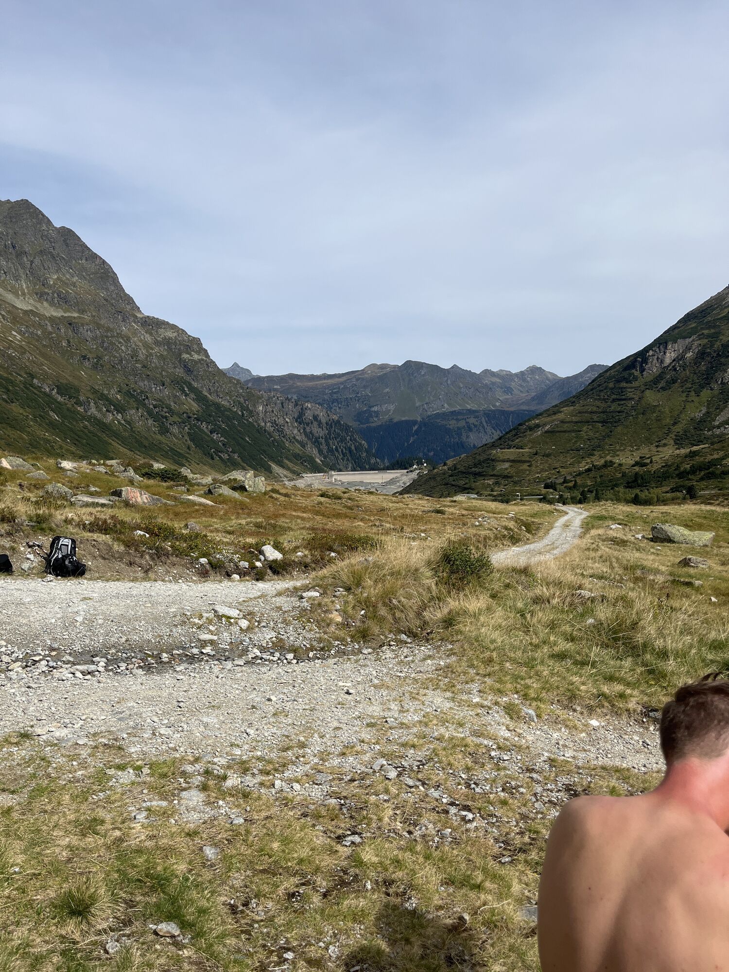
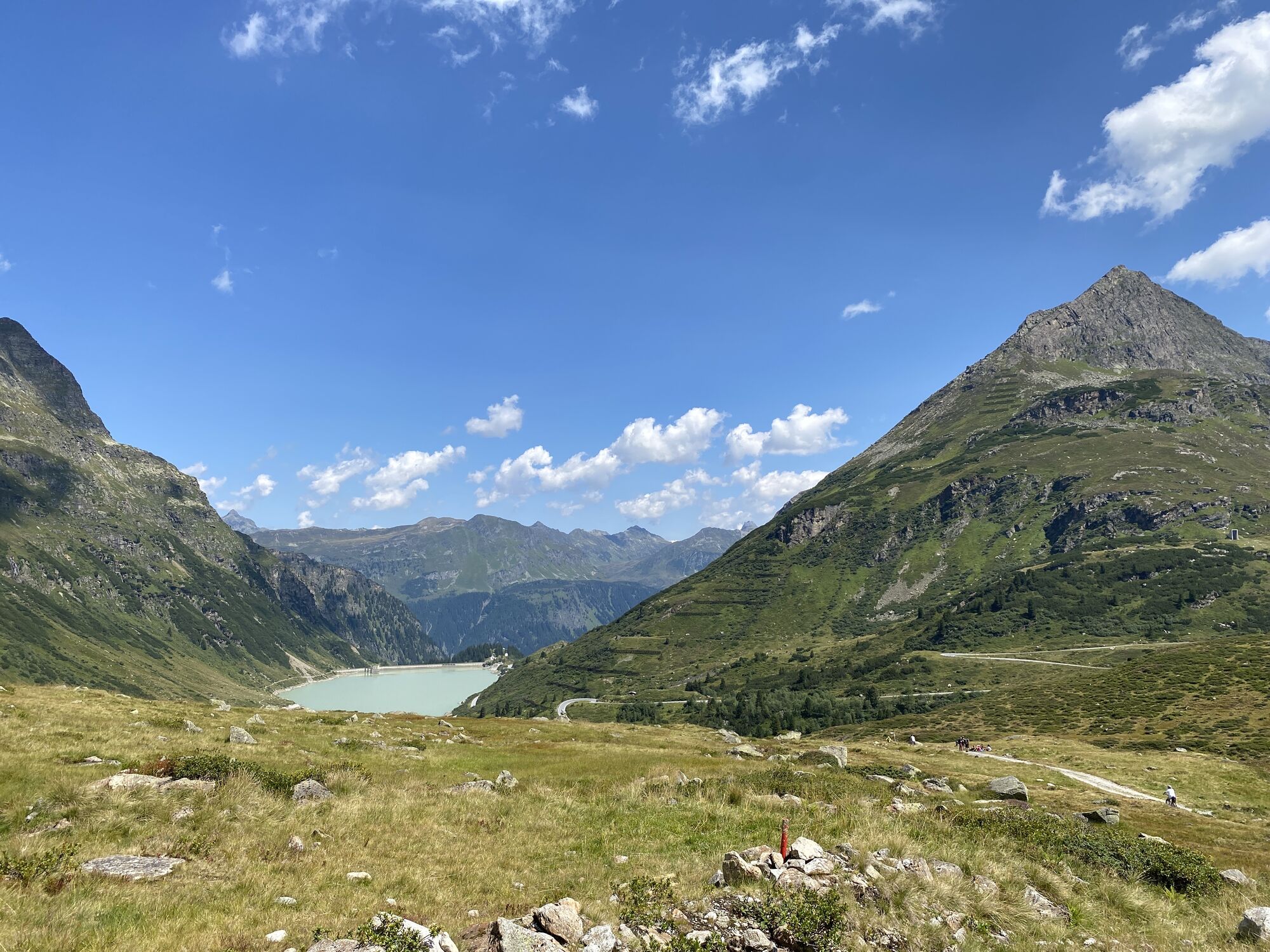
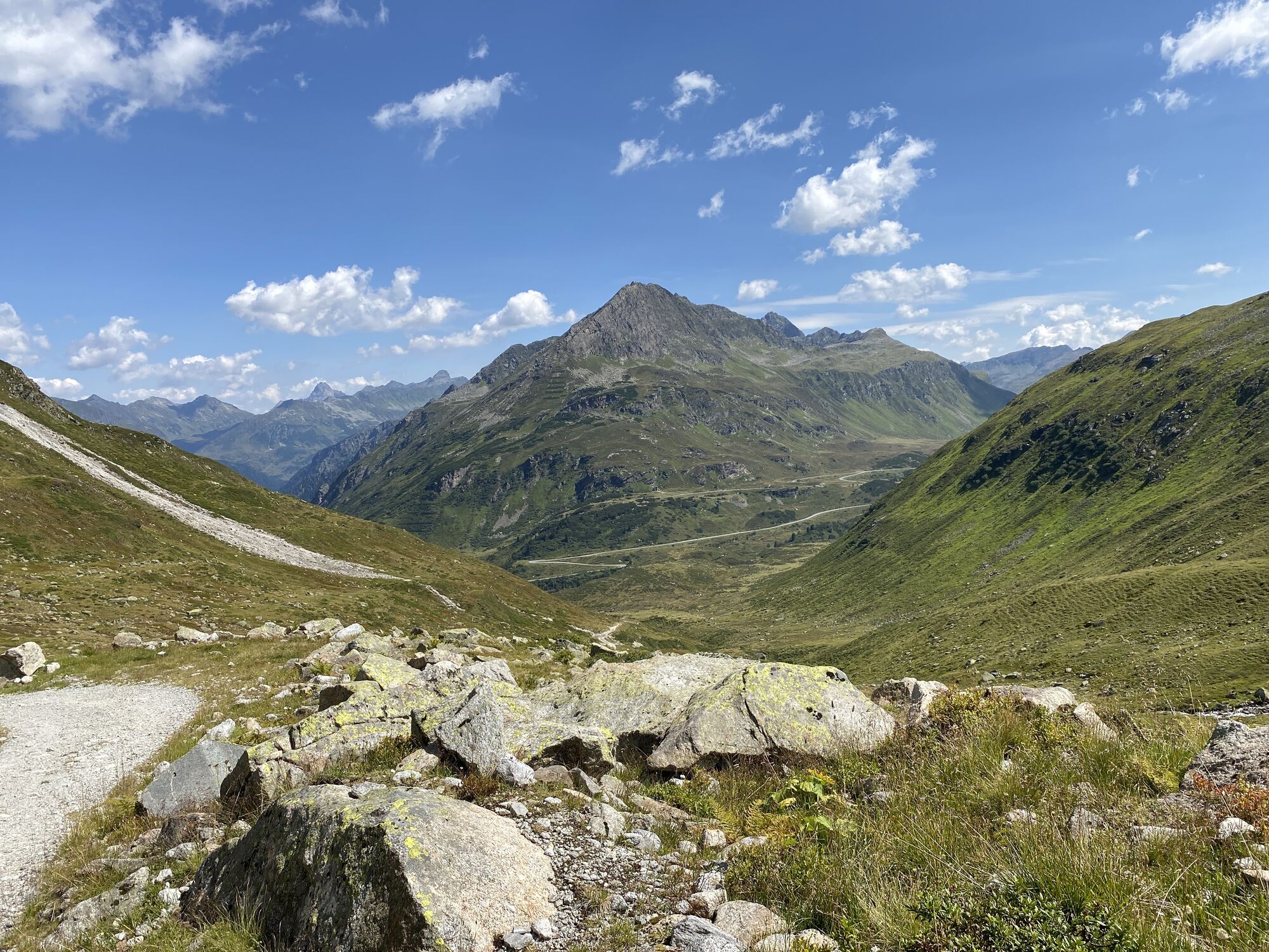
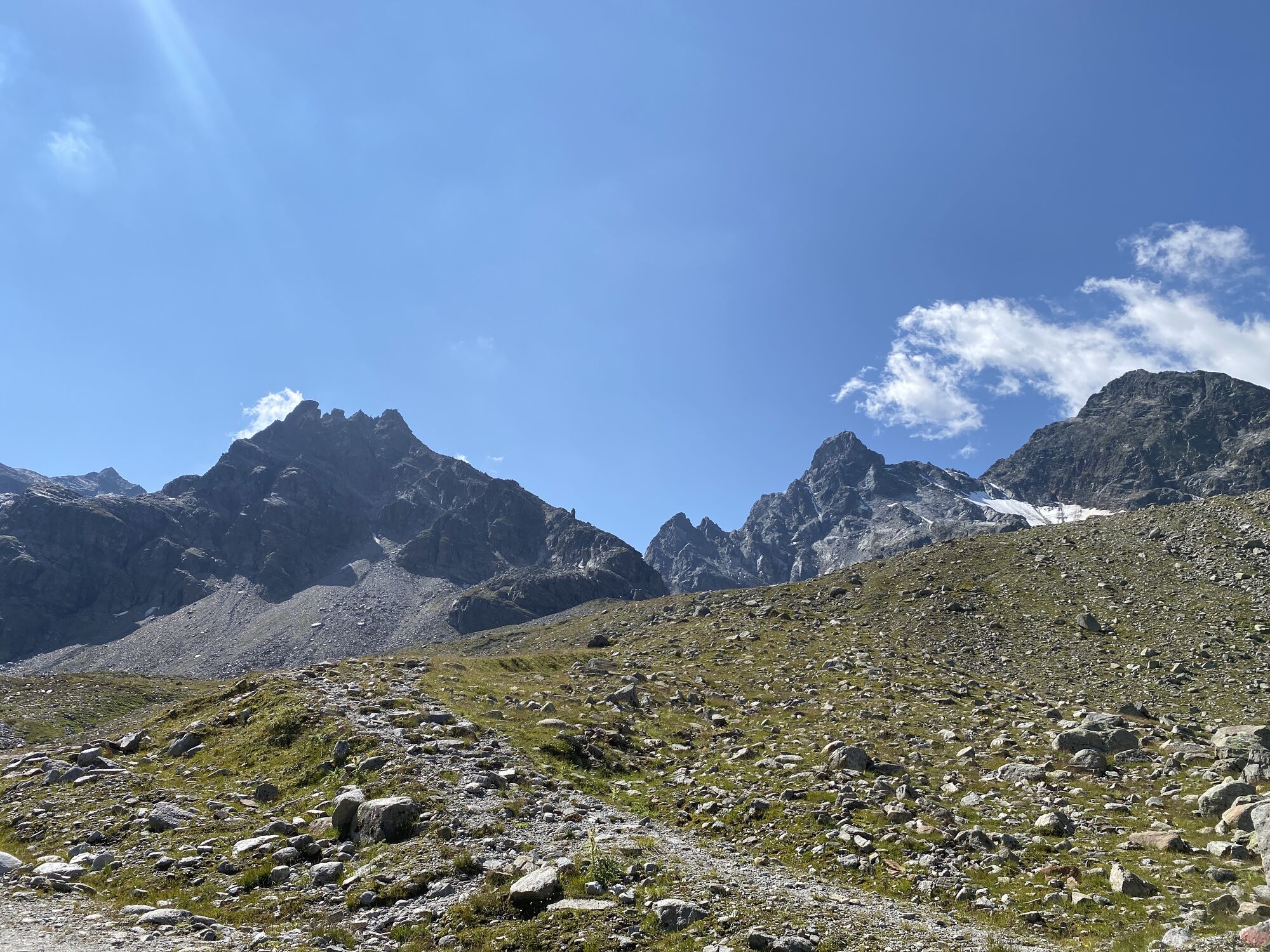
The route starts at the valley station of the Valisera Bahn in St. Gallenkirch (Silvretta Park Montafon) and leads upstream past the Rifabecken to the end of the village of Partenen. The ascent is via the Silvretta High Alpine Road. The upper part of this route is especially recommended only for very experienced mountain bikers. Gradients of up to 20% on very coarse gravel require not only good fitness but also a lot of balance and good riding technique. After completing the effort, you can enjoy the incomparable panorama of the Silvretta massif. At the highest managed mountain hut in the valley, the Saarbrücker Hütte, there is time for a hearty refreshment. The descent goes back along the same route over the Silvretta High Alpine Road to Partenen and then to St. Gallenkirch.
Silvretta Park Montafon (Valisera Bahn valley station) – Partenen – Silvretta High Alpine Road – Vermuntsee – Saarbrücker Hütte – return (same route)
Áno
Spare battery, charger, bicycle helmet, day cycling backpack (approx. 20 liters) with rain cover, comfortable sports shoes, if necessary cycling shoes, weather-appropriate and durable clothing in a layering system, if necessary cycling jersey, if necessary cycling gloves, air pump, bicycle tools, sun and rain protection, provisions and drinking water, water bottle and suitable holder, first aid kit, pocket knife, mobile phone, if necessary mobile phone holder for the handlebar, if necessary headlamp and reflectors, map material
EMERGENCY CALL: 144
112 European emergency call (works with any mobile phone/network)
www.vorarlberg.travel/sicherheitstipps
Drive on the A14 to the Bludenz/Montafon exit and continue on Montafonerstraße L188 to Silvretta Park Montafon.
Just leave your car standing
Arrival by train to Montafon
From Bludenz station, the Montafonerbahn runs hourly (sometimes every half hour). There are also direct connections from Lindau (D) and from Bregenz.
Timetable: www.oebb.at
Silvretta Park Montafon
4
You can pick up a free "My Activity Card Biking" at one of the Montafon tourist information offices.
You can also plan your mountain bike route with an overnight stay at the hut and an unforgettable sunrise at the Saarbrücker Hütte.
Webové kamery z prehliadky
-
Bergstation Hochalpila Bahn
-
Galtür - Kopssee
-
Galtür - Kopssee
-
Galtür - Kopssee
-
Galtür - Kopssee
-
Galtür - Kopssee
-
Galtür - Kopssee
-
Silvretta-Montafon - Panorama Bahn
-
Silvretta-Montafon - Nova Stoba
-
Breitspitzbahn
-
Breitspitzbahn
-
Breitspitzbahn
-
Breitspitzbahn
-
Breitspitzbahn
-
Breitspitzbahn
-
Breitspitzbahn
-
St.Gallenkirch - Pension Rudigier
-
Silvretta - Bielerhöhe
-
Gortipohl - Gasthaus Muntafuner Stöbli
-
Gortipohl Landhaus Rudigier
-
Wormserhütte
-
Wormserhütte
-
Vermiel, Garfrescha
-
Silvretta-Montafon - Valisera Berg
-
Wohlfühlpension Garni Tirolerhof
Získajte prehľad
Vždy naživo na mieste s viac ako 9 500 webovými kamerami. bergfex Ako používateľ Pro si teraz môžete pozrieť príslušné webové kamery pre mnohé zájazdy v aplikácii zájazdy z. Môžete si tak priamo prezerať aktuálne podmienky.
Obľúbené výlety v okolí
-
4,7
Smuggler’s path
strednáTematická trasa 8,60 km -
4,9
Hiking trail Piz Buin - view
strednáTuristika 14,4 km -
4,5
Madrisella summit path
strednáTematická trasa 10,8 km -
4,8
Heilbronner lodge
strednáTuristika 13,0 km -
4,8
Jöriseen
strednáTuristika 11,3 km -
5,0
Menta Alm - Scheibenalm
svetloTuristika 11,4 km -
3,2
Bielerhöhe and circular hike around the Silvretta reservoir
strednáTuristika 13,1 km -
4,6
Gargellner Window Path
strednáTematická trasa 7,21 km -
4,8
Madrisella via ferrata
ťažkéVia ferrata 8,52 km -
4,5
Vom Kopssee zur Breitspitze Gemeinde Gaschurn, Vorarlberg/Österreich
strednáTuristika 12,5 km
Turistika a stopovanie


Nenechajte si ujsť ponuky a inšpiráciu na ďalšiu dovolenku
Vaša e-mailová adresa bol pridaný do poštového zoznamu.





