


From Tafamunt to Wiegensee and over Schrofen (Außerganifer) to Partenen


Here you can also find a short video about Wiegensee:
https://www.youtube.com/watch?v=n7NUtvW9pLg&feature=youtu.be
Here you can also find a short video about Wiegensee:
https://www.youtube.com/watch?v=n7NUtvW9pLg&feature=youtu.be


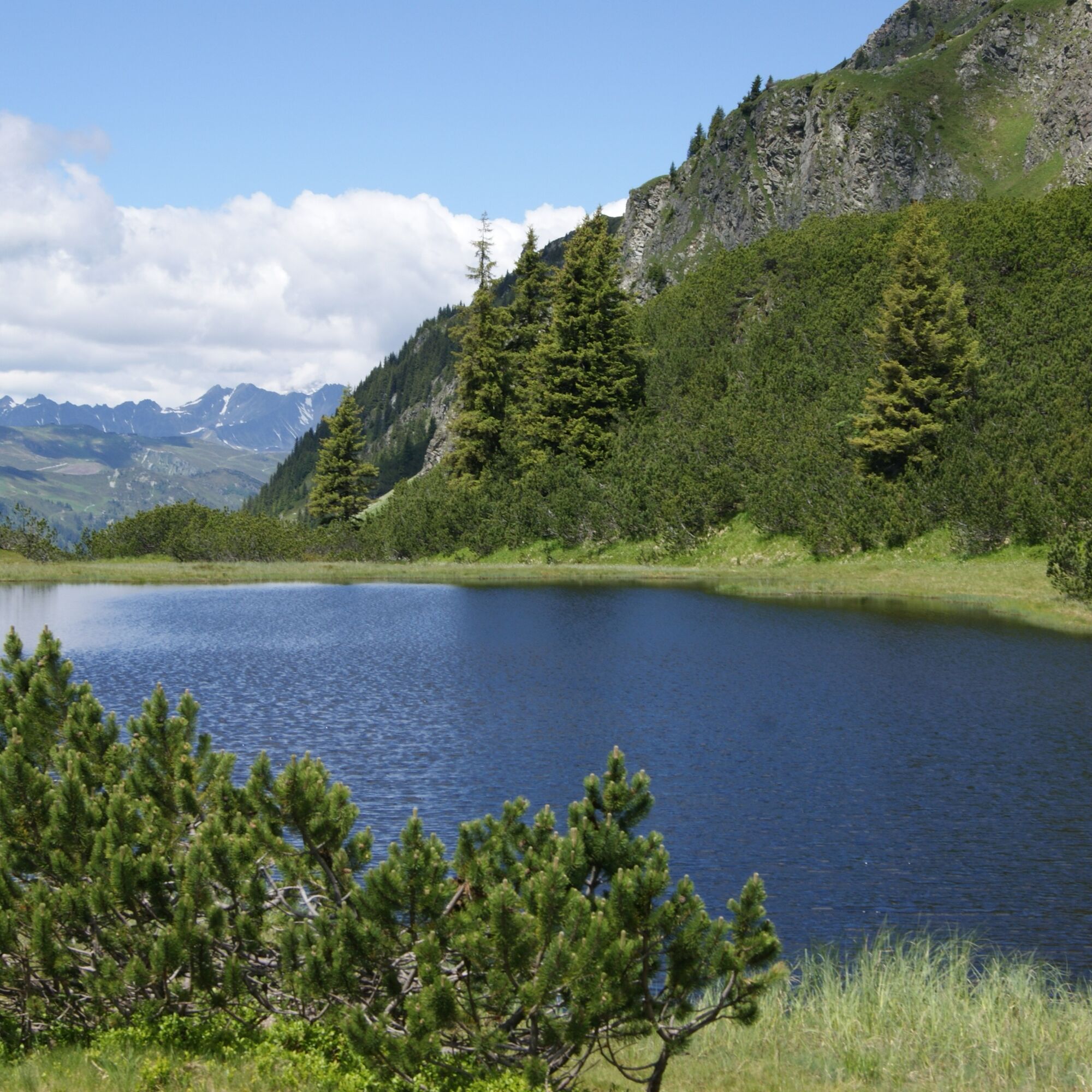
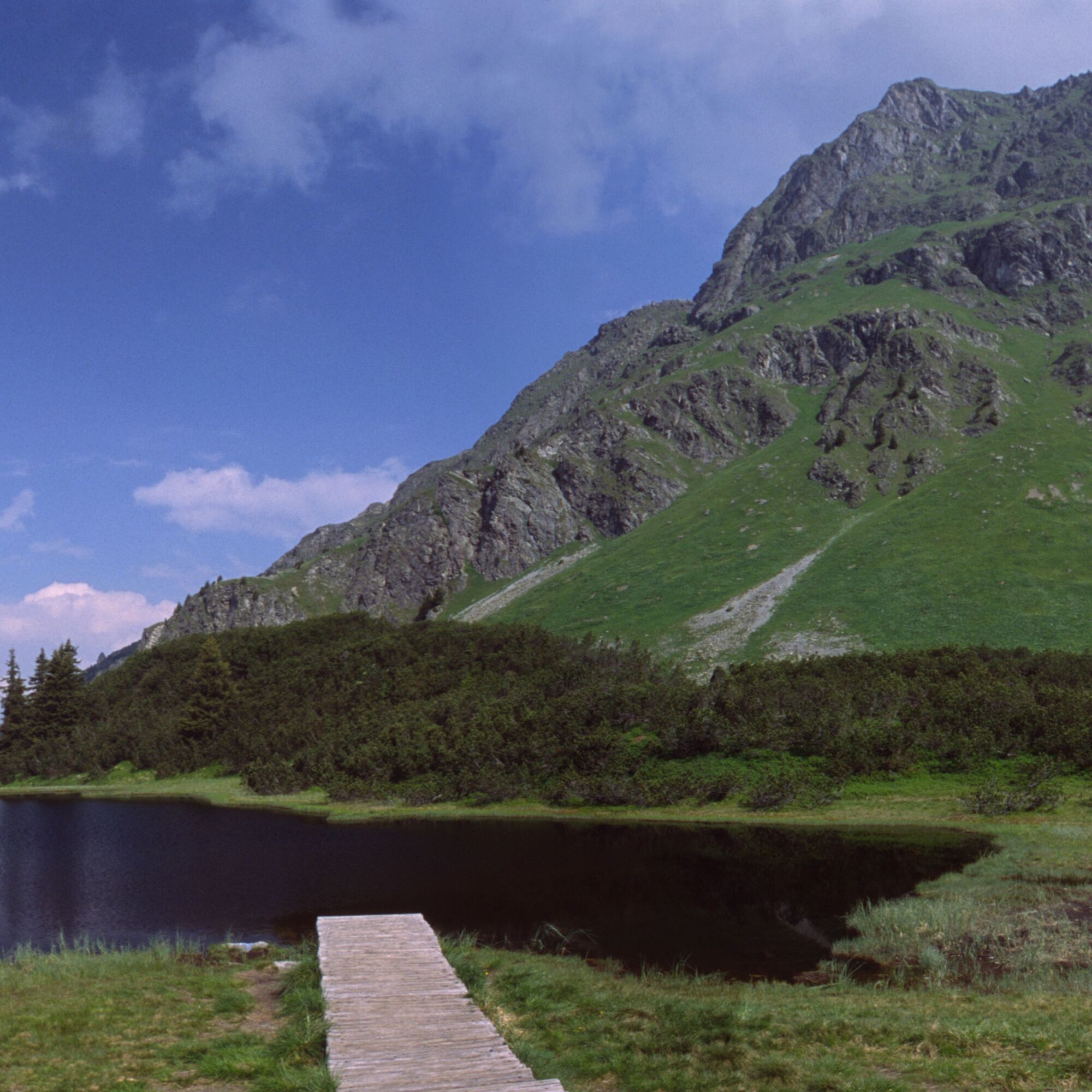
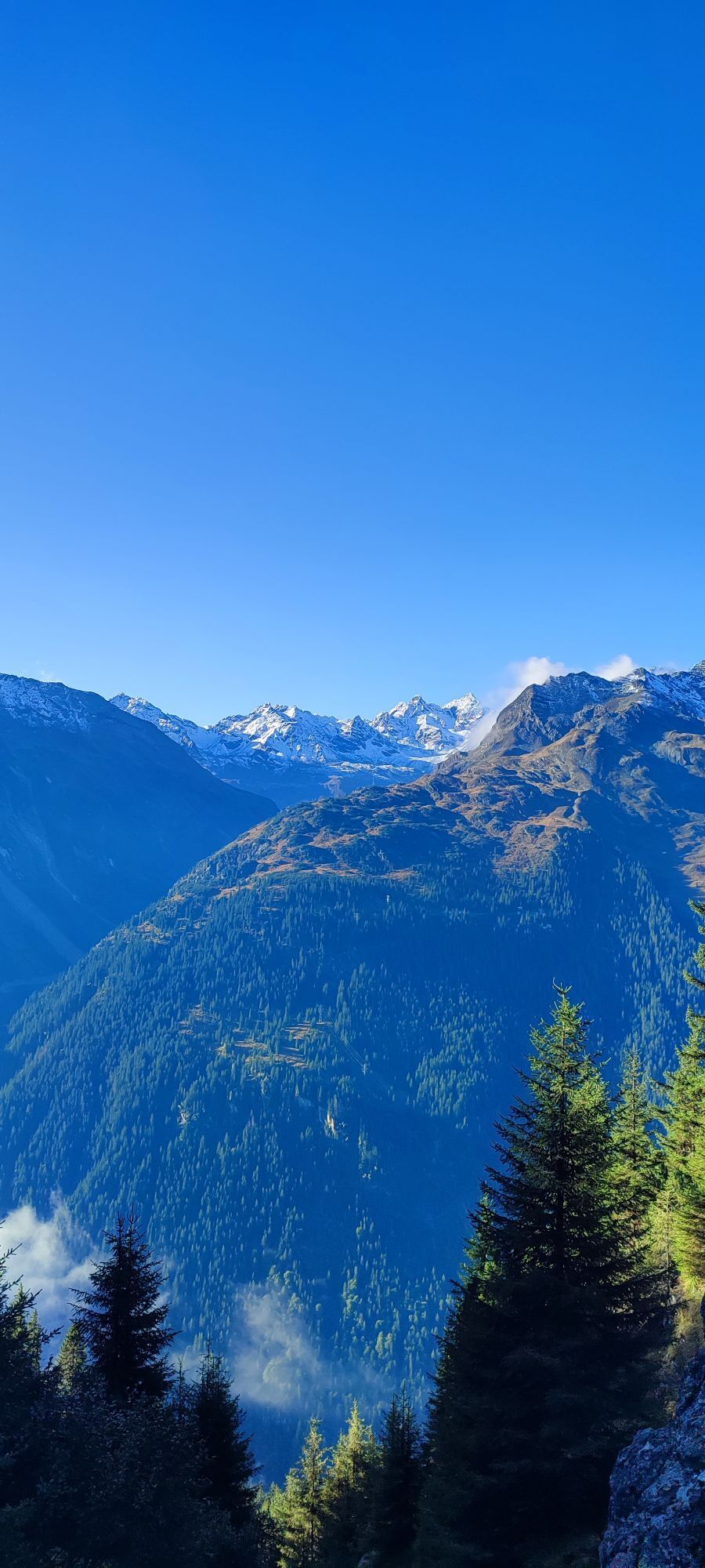
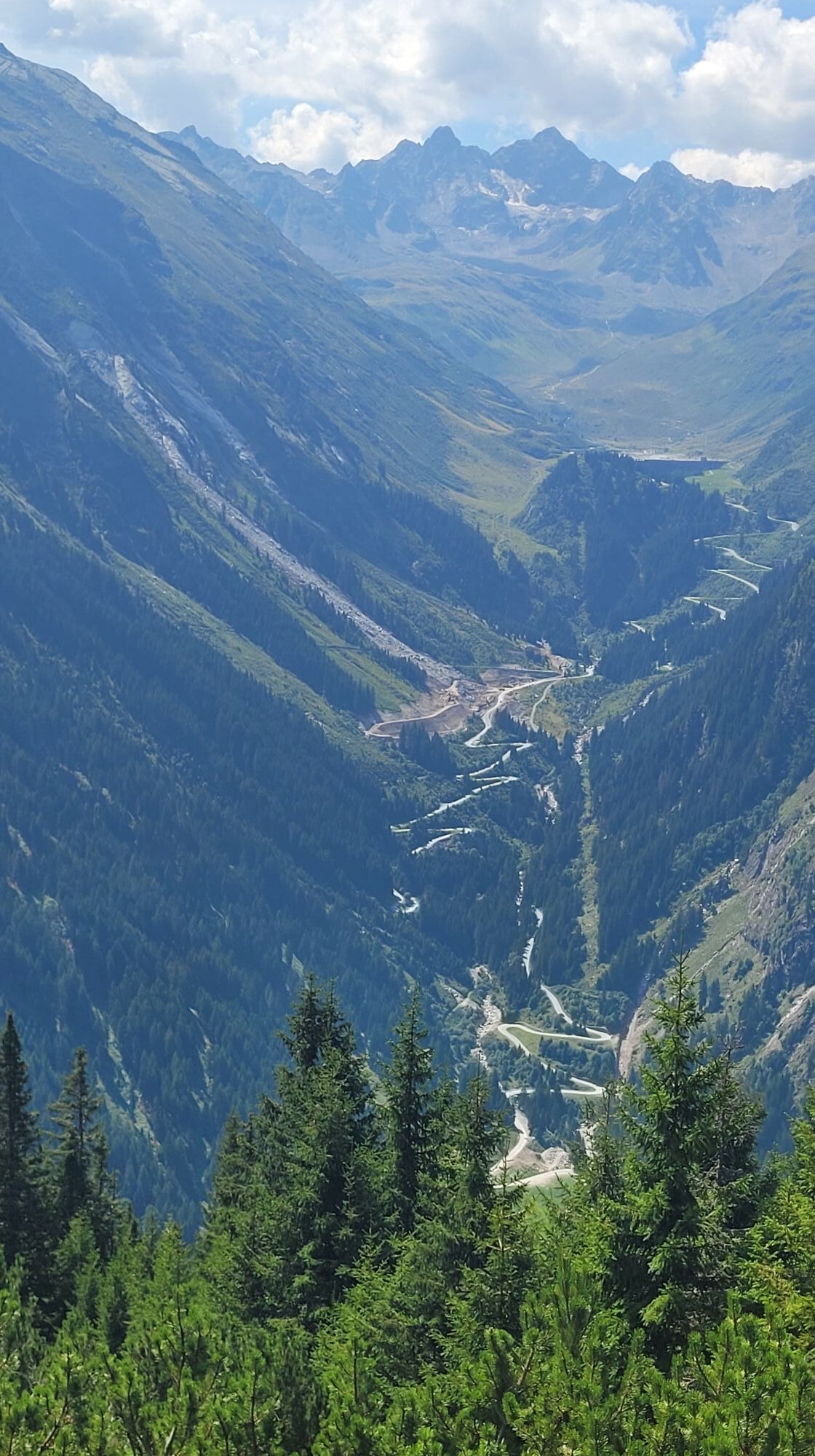
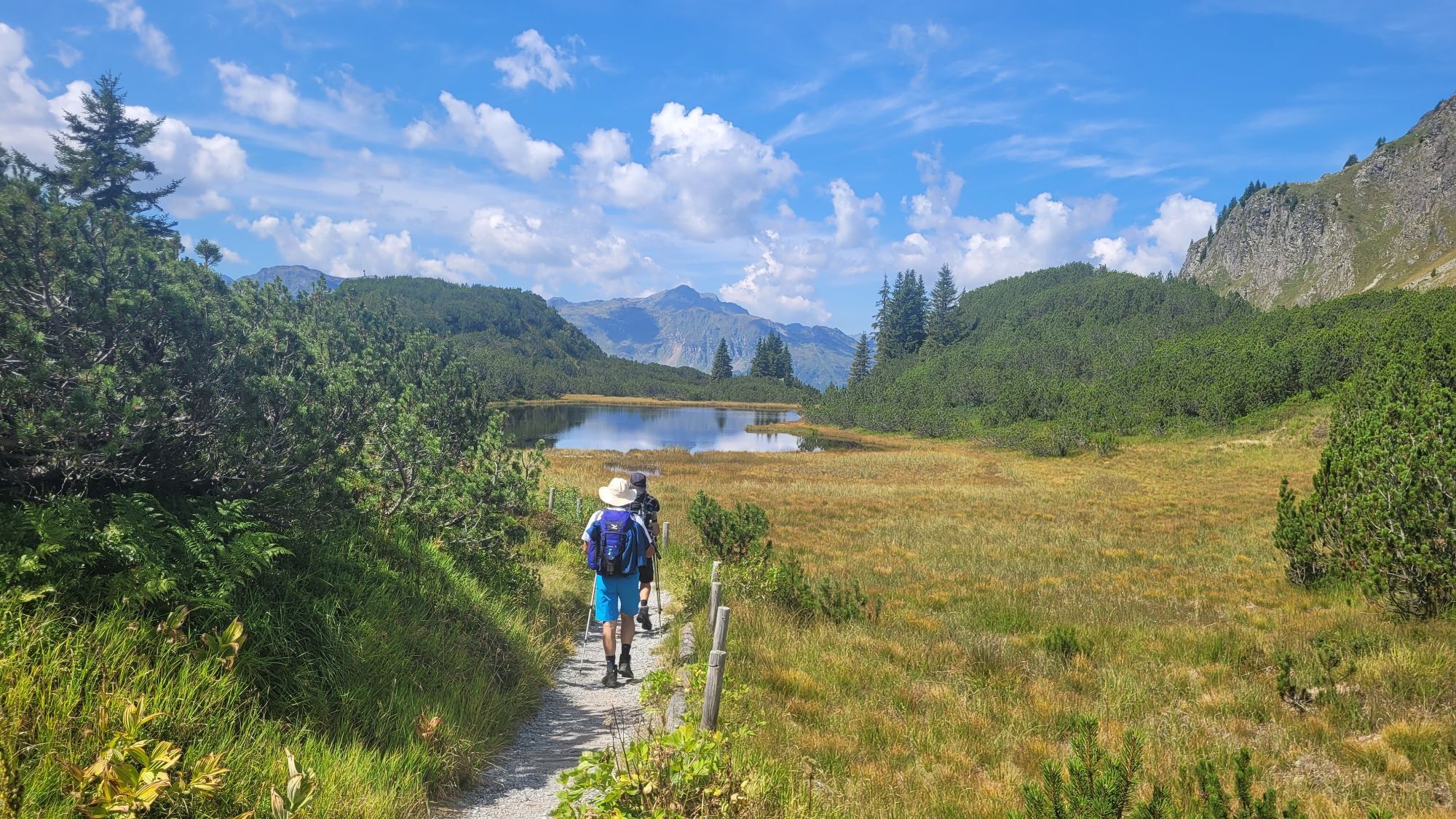
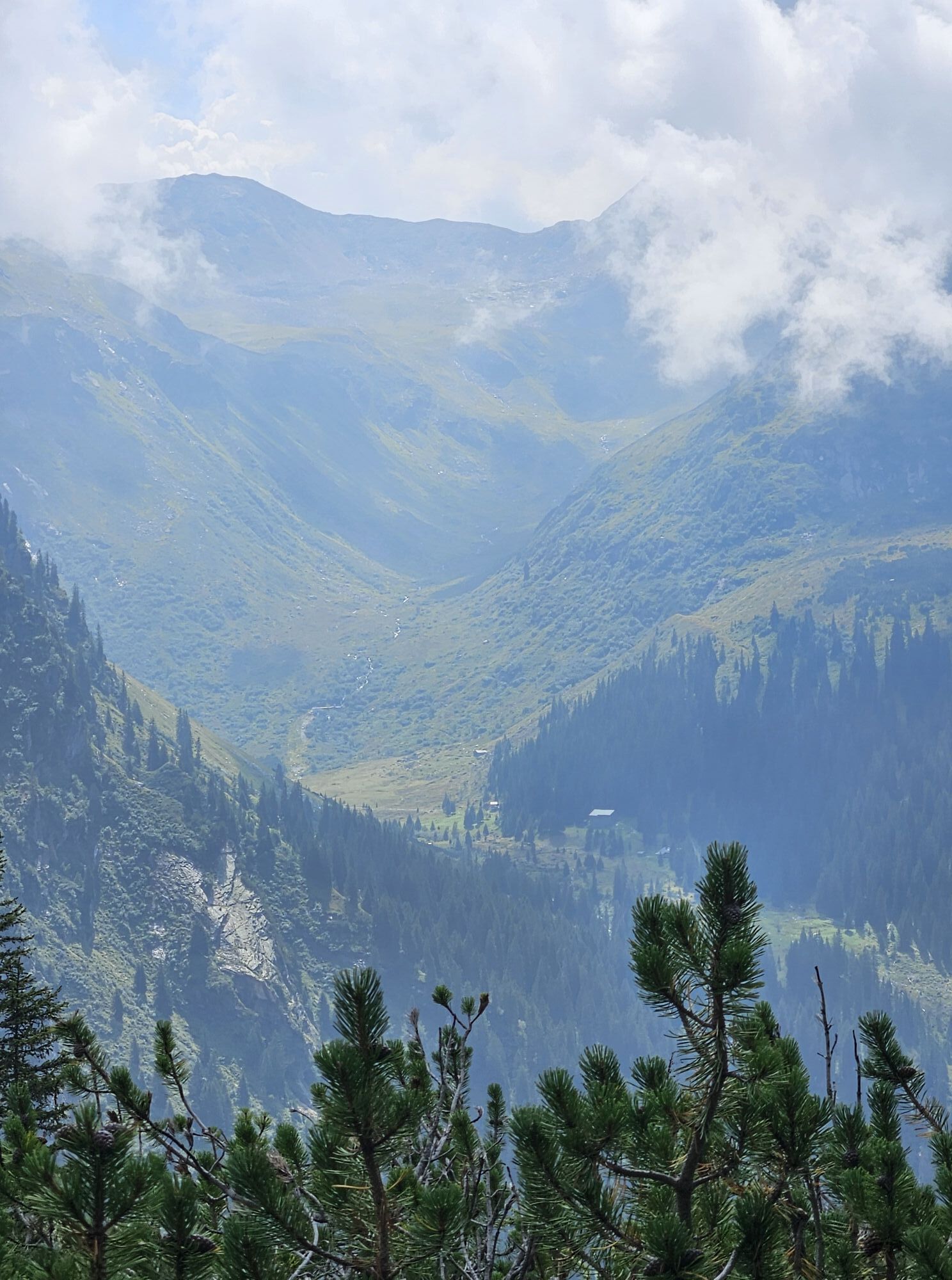
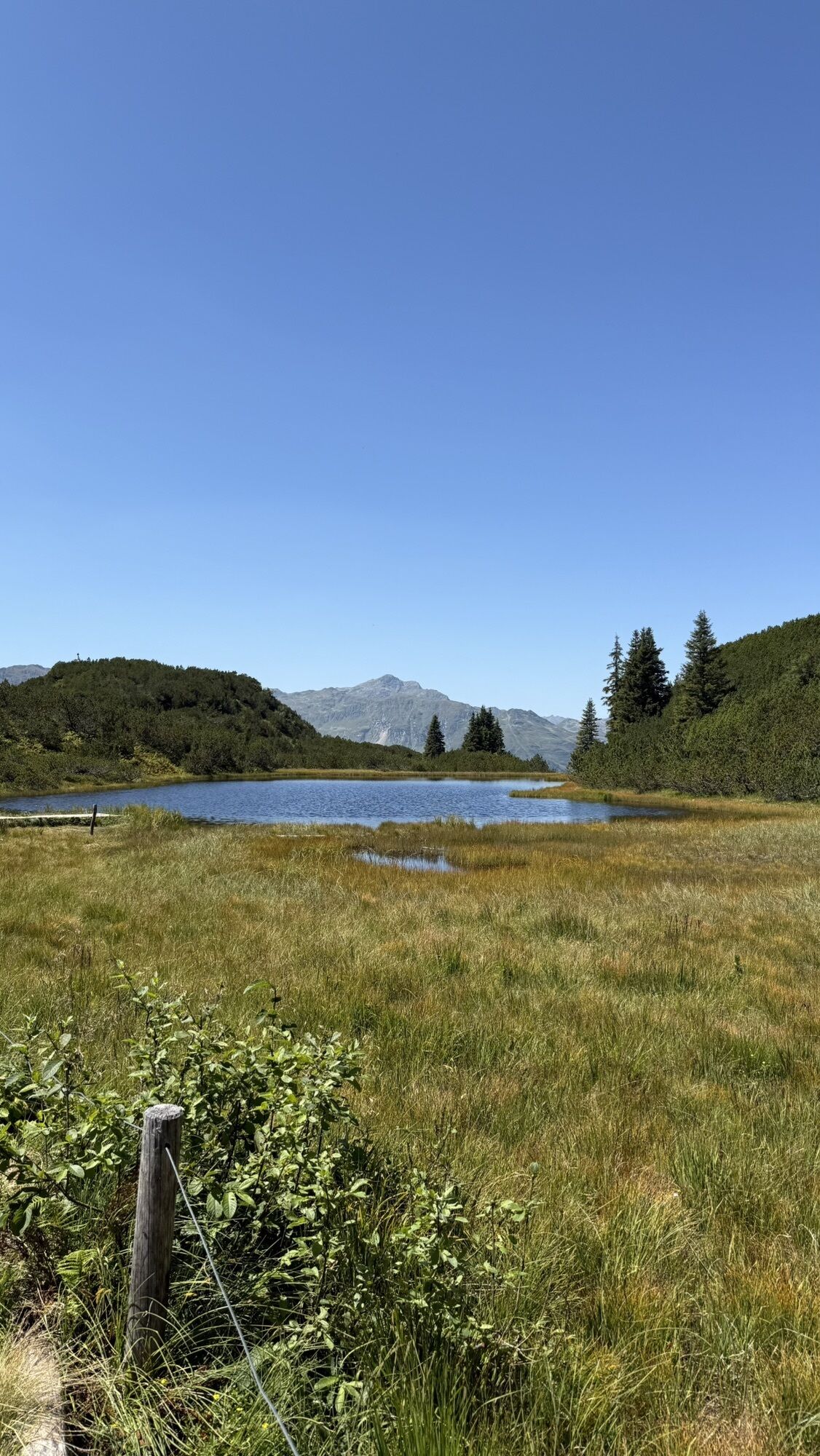
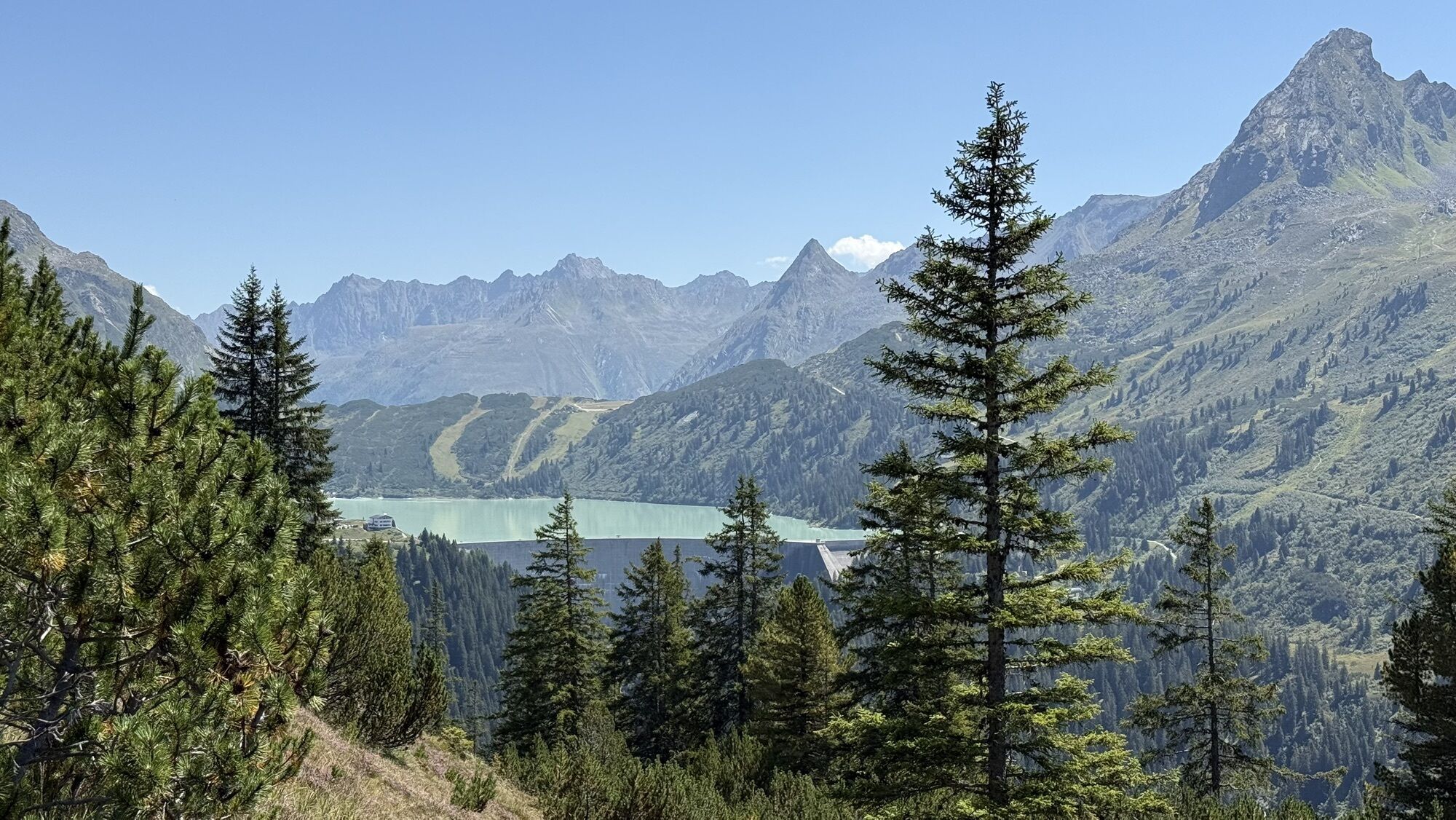
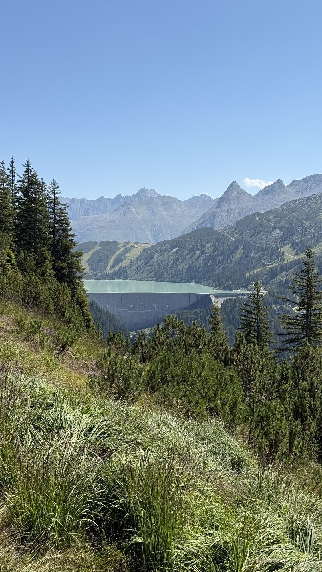
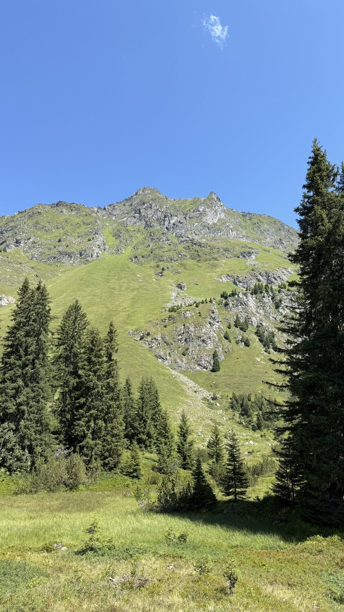
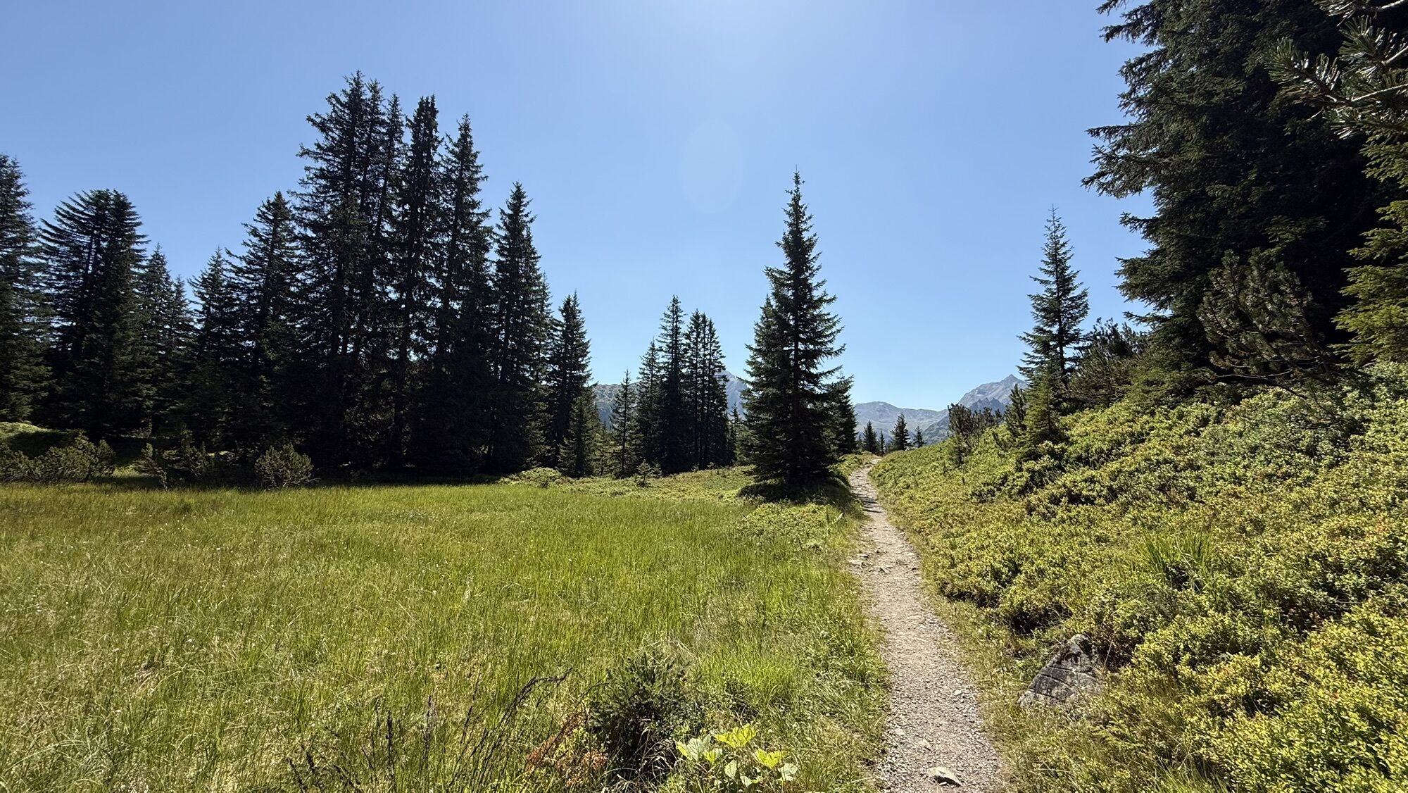
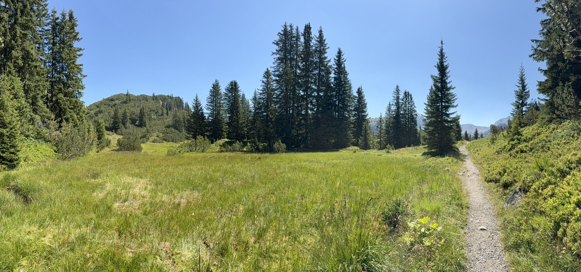
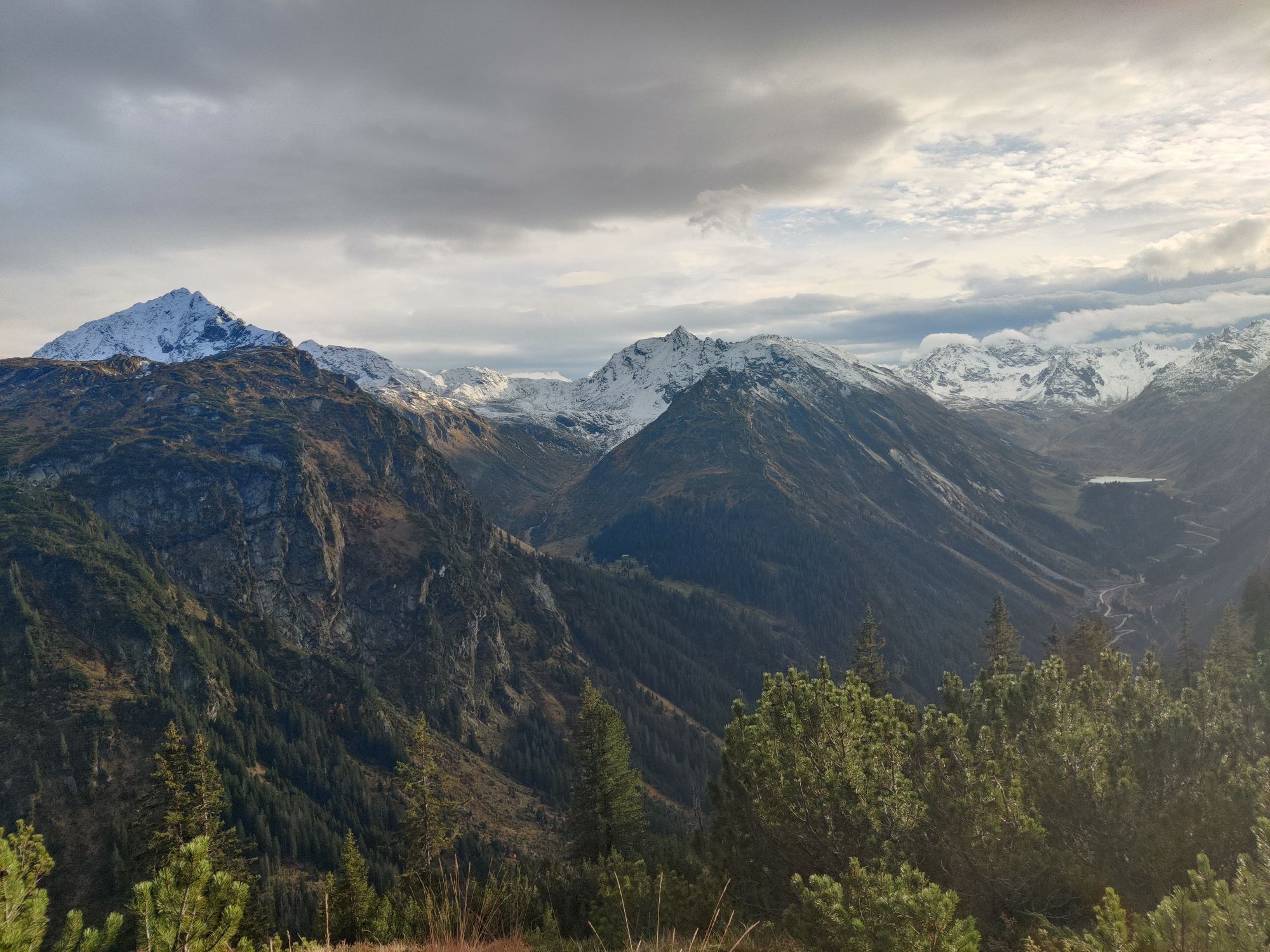
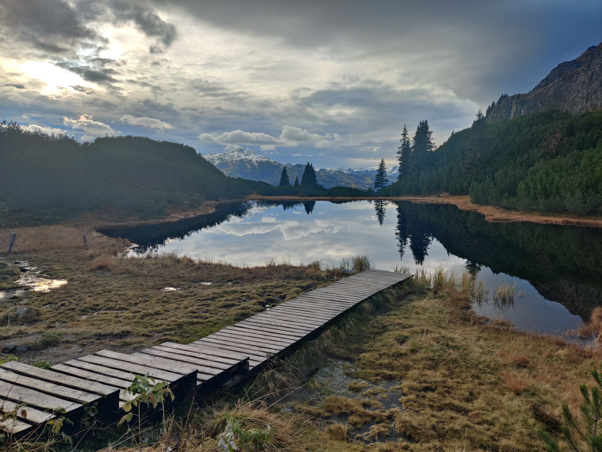
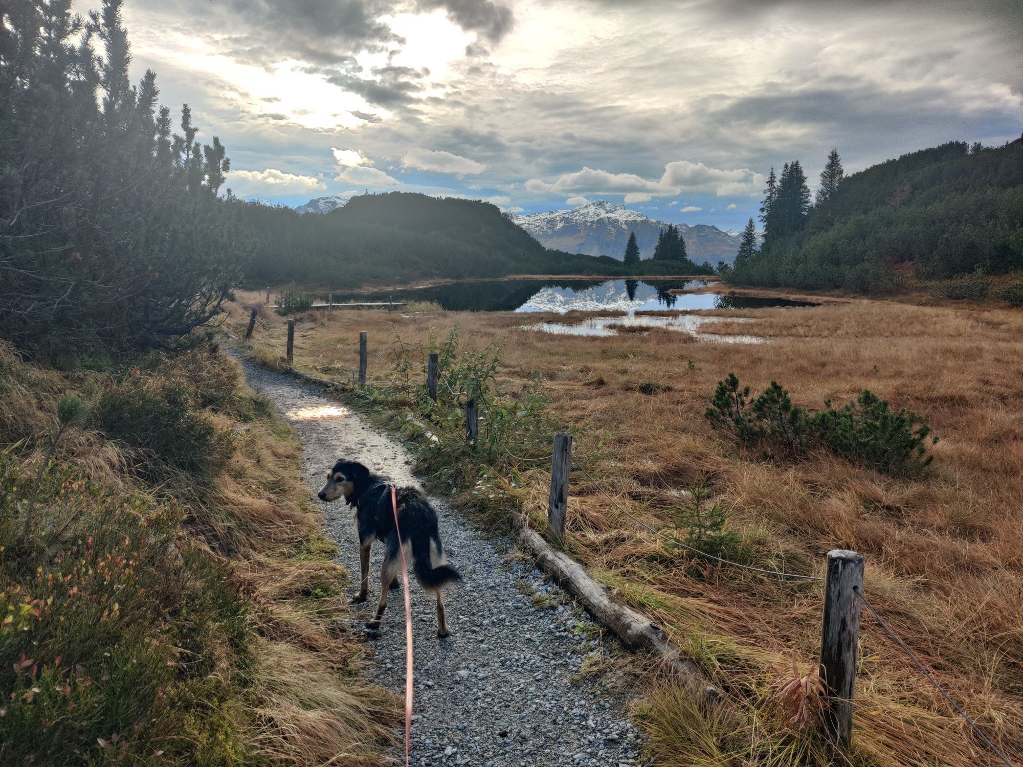
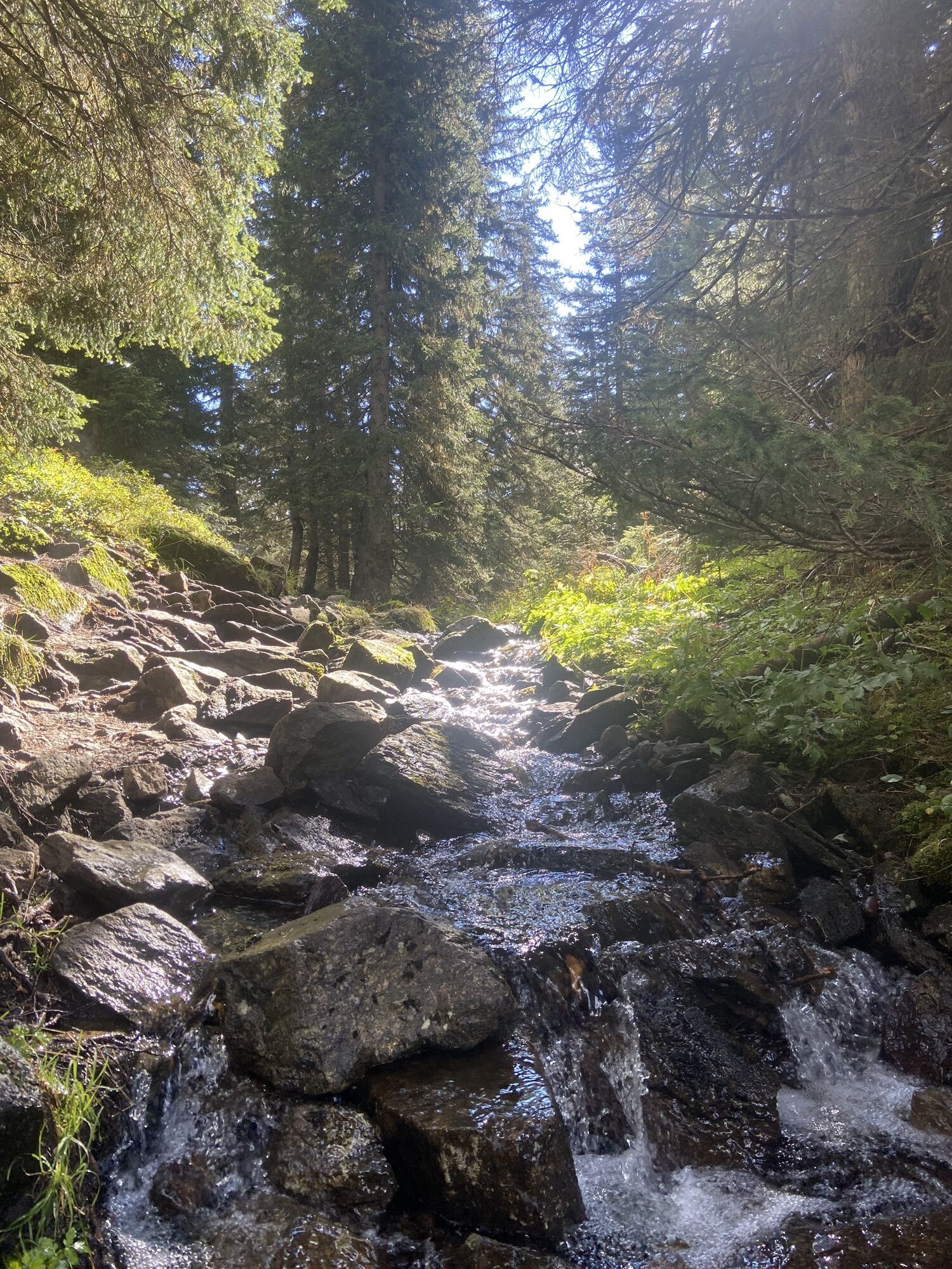
From the mountain station of the Tafamuntbahn, the path initially leads steadily uphill through the forest towards Wiegensee. The last section of the path before you reach Wiegensee is above the tree line. Once you arrive at Wiegensee, it is worth taking a break and enjoying the magnificent panorama. Then continue back on the same path until you reach the next junction (signpost Lower Wiega), where you turn left and thus get to Außerganifer via Schrofen. This path is relatively steep and sure-footedness is absolutely necessary. From Außerganifer, continue first on the gravel road and then turning right cross-country towards Partenen.
Áno
sturdy footwear
140 Alpine emergencies nationwide in Austria
144 Alpine emergencies Vorarlberg
112 European emergency number (works with any mobile/ network)
www.vorarlberg.travel/sicherheitstipps
Drive on the A14 to the Bludenz/Montafon exit and continue on Montafonerstraße L188 to Partenen.
Just leave your car standing
The regional buses operate throughout Montafon. The main lines run every half hour from Schruns station.
Bus stop at the start/finish of the route: Partenen Mountain Railways / Line 650
Timetable: www.vmobil.at
Arrival by train in Montafon
From Bludenz station, the Montafonerbahn runs hourly (sometimes every half hour). There are also direct connections from Lindau (D) and Bregenz.
Timetable: www.oebb.at
Parking lot Vermuntbahn or Tafamuntbahn


Obľúbené výlety v okolí
-
4,7
Smuggler’s path
strednáTematická trasa 8,60 km -
4,9
Hiking trail Piz Buin - view
strednáTuristika 14,4 km -
4,8
Heilbronner lodge
strednáTuristika 13,0 km -
4,4
Madrisella summit path
strednáTematická trasa 10,8 km -
4,6
Kristberg - Wasserstubental - Silbertal
svetloTuristika 13,8 km -
4,9
Alpgues Runde
strednáTuristika 9,21 km -
5,0
Menta Alm - Scheibenalm
svetloTuristika 11,4 km -
2,8
Bielerhöhe and circular hike around the Silvretta reservoir
strednáTuristika 13,1 km -
5,0
Wiegensee-Kopssee
strednáTuristika 8,17 km -
4,7
Jamtal lodge
strednáTuristika 19,6 km
Turistika a stopovanie


Nenechajte si ujsť ponuky a inšpiráciu na ďalšiu dovolenku
Vaša e-mailová adresa bol pridaný do poštového zoznamu.