


Wine Route Sion-Leuk (Stage 2)
Úroveň náročnosti: 3
Fotografie našich používateľov
-

 © peter_oeVytvorené dňa 03.09.2025
 -
 © peter_oeVytvorené dňa 03.09.2025
 -

 © Bruno ZahnoVytvorené dňa 28.04.2025
 -

 © Jean-Pierre SionVytvorené dňa 06.03.2025
 -
 © Jean-Pierre SionVytvorené dňa 06.03.2025
 -
 © peter_oeVytvorené dňa 25.10.2024
 -
 © peter_oeVytvorené dňa 25.10.2024
 -
 © peter_oeVytvorené dňa 25.10.2024
 -
 © peter_oeVytvorené dňa 25.10.2024
 -
 © peter_oeVytvorené dňa 24.10.2024
 -
 © peter_oeVytvorené dňa 24.10.2024
 -
 © peter_oeVytvorené dňa 24.10.2024
 -
 © peter_oeVytvorené dňa 24.10.2024
 -
 © peter_oeVytvorené dňa 24.10.2024
 -
 © peter_oeVytvorené dňa 24.10.2024
 -
 © peter_oeVytvorené dňa 31.08.2024
 -
 © peter_oeVytvorené dňa 31.08.2024
 -
 © Heinrich MocelliniVytvorené dňa 20.10.2022
 -
 © Heinrich MocelliniVytvorené dňa 20.10.2022
 -
 © Heinrich MocelliniVytvorené dňa 20.10.2022
 -
 © Heinrich MocelliniVytvorené dňa 20.10.2022
 -
 © Heinrich MocelliniVytvorené dňa 20.10.2022
 -
 © Hans-Peter ArnoldVytvorené dňa 02.05.2025
 -
 © Heinrich MocelliniVytvorené dňa 24.04.2025
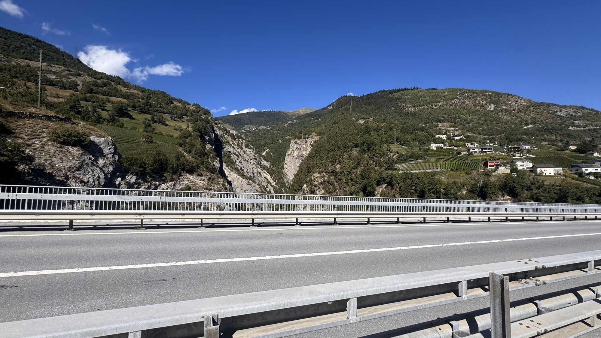
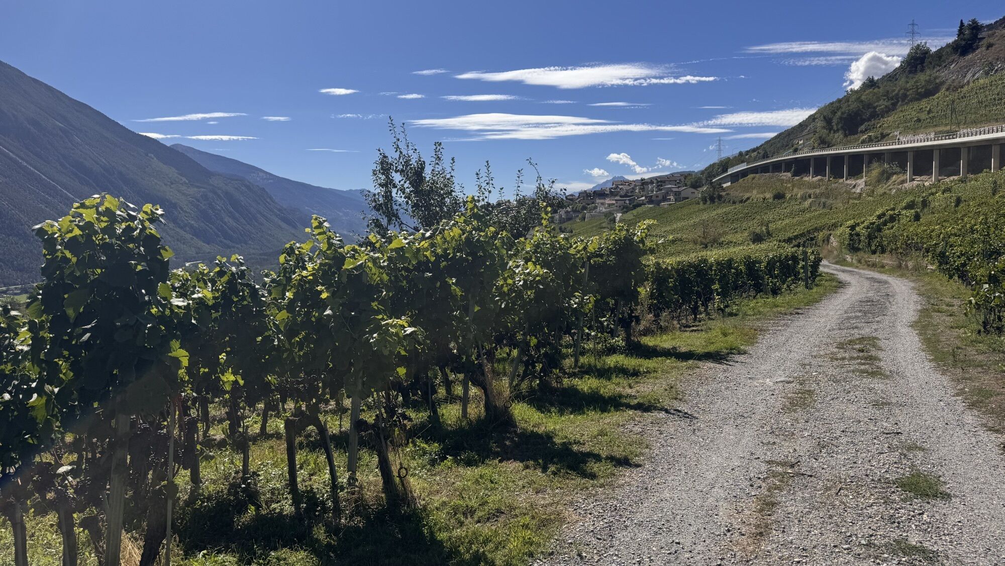
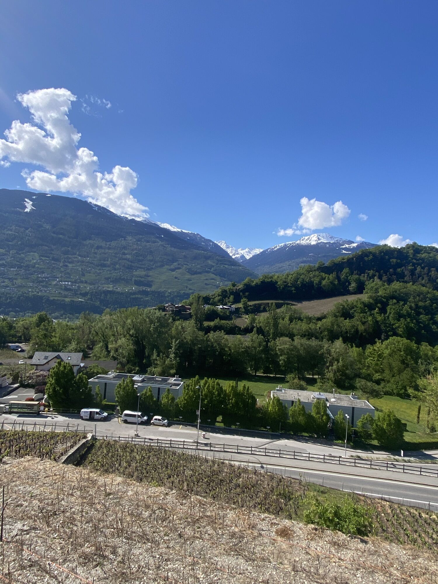
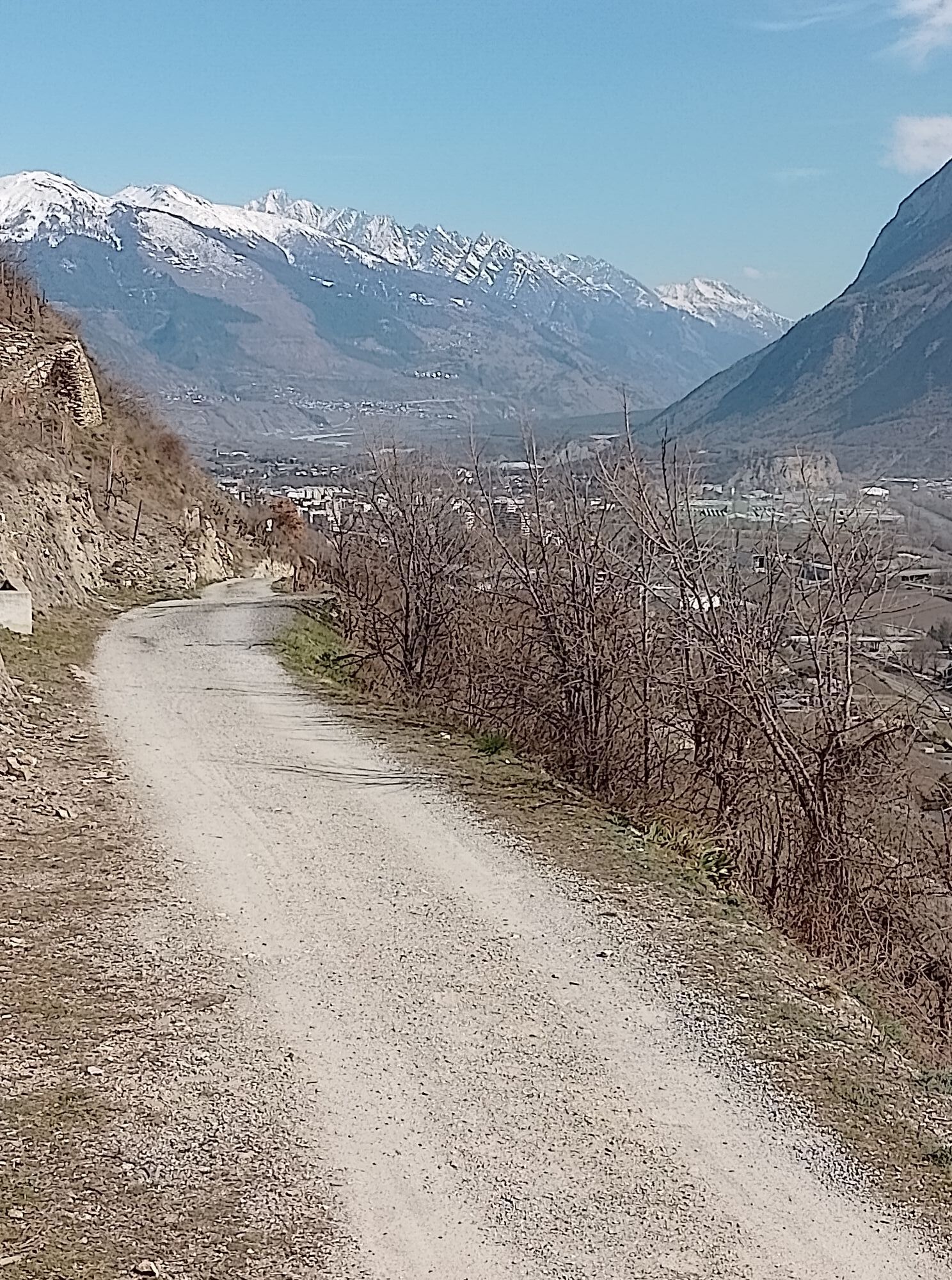

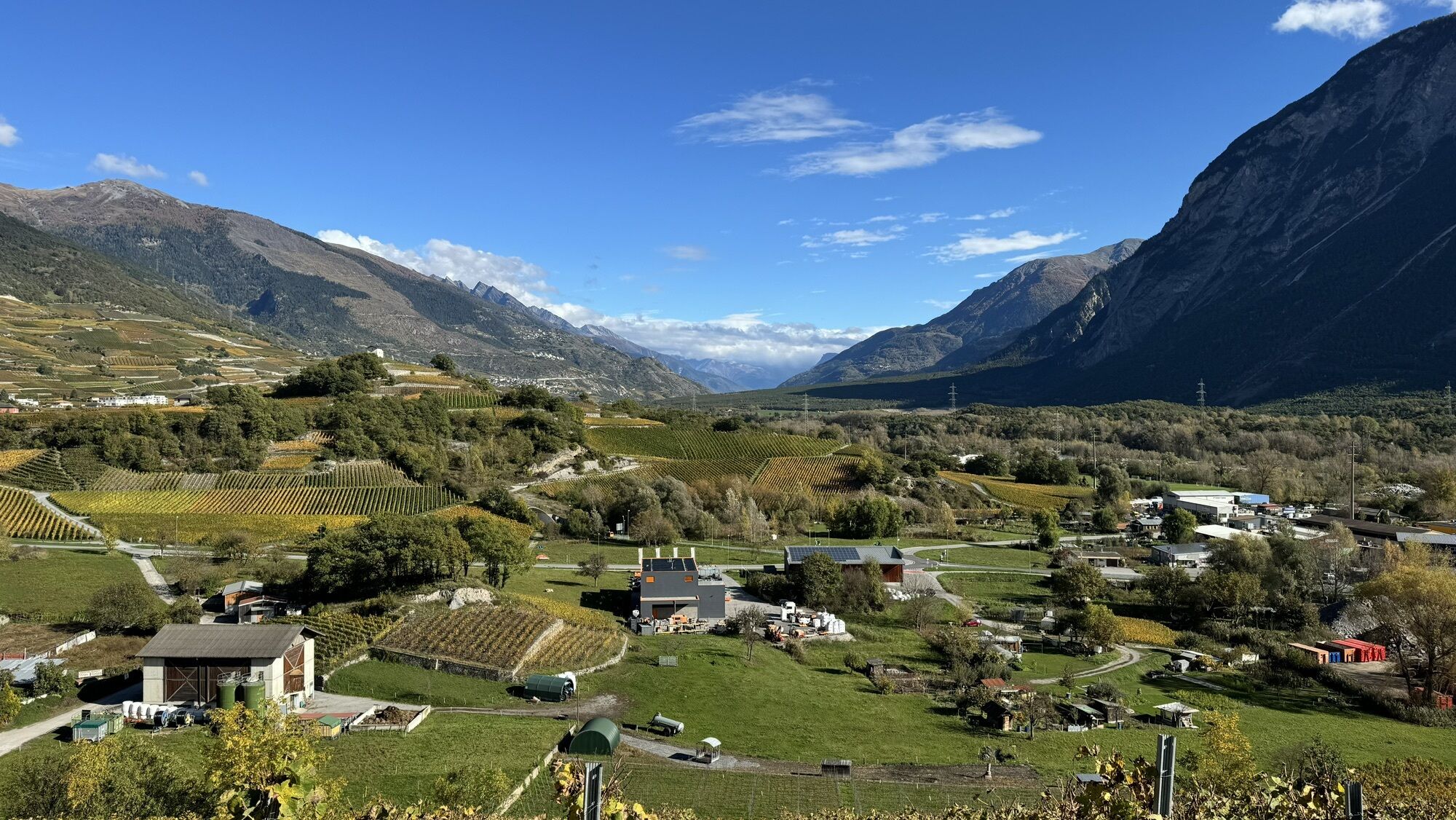


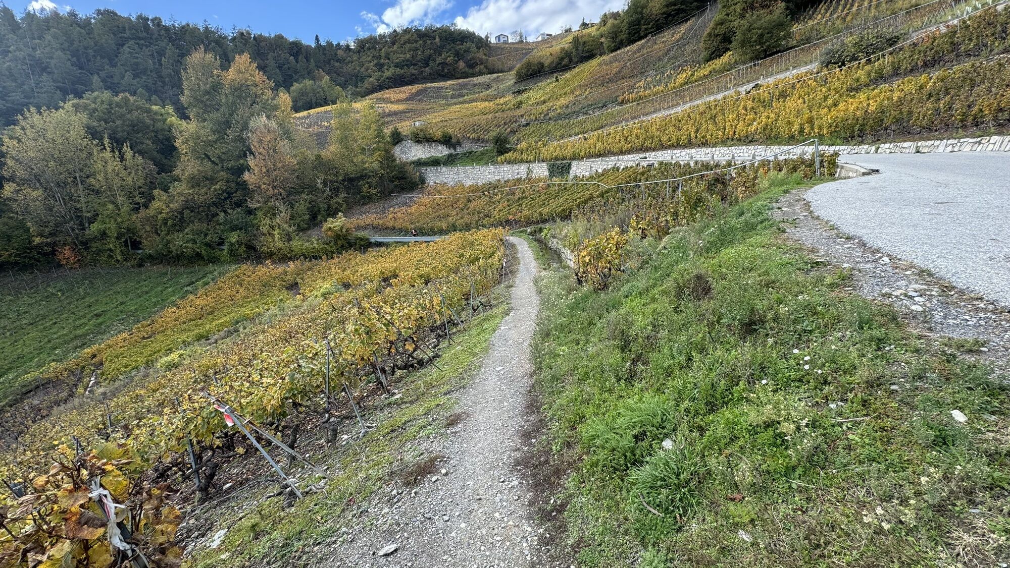
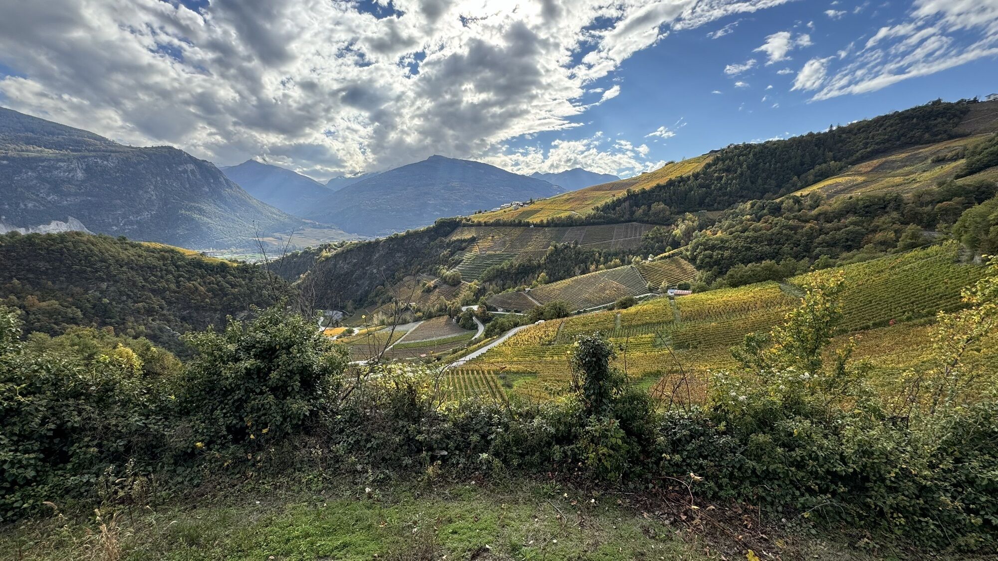
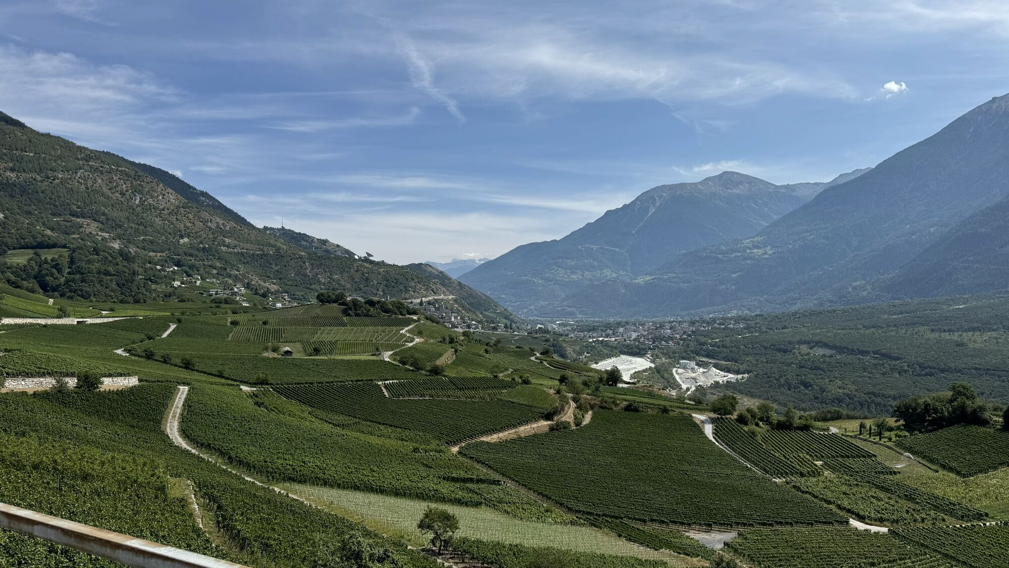

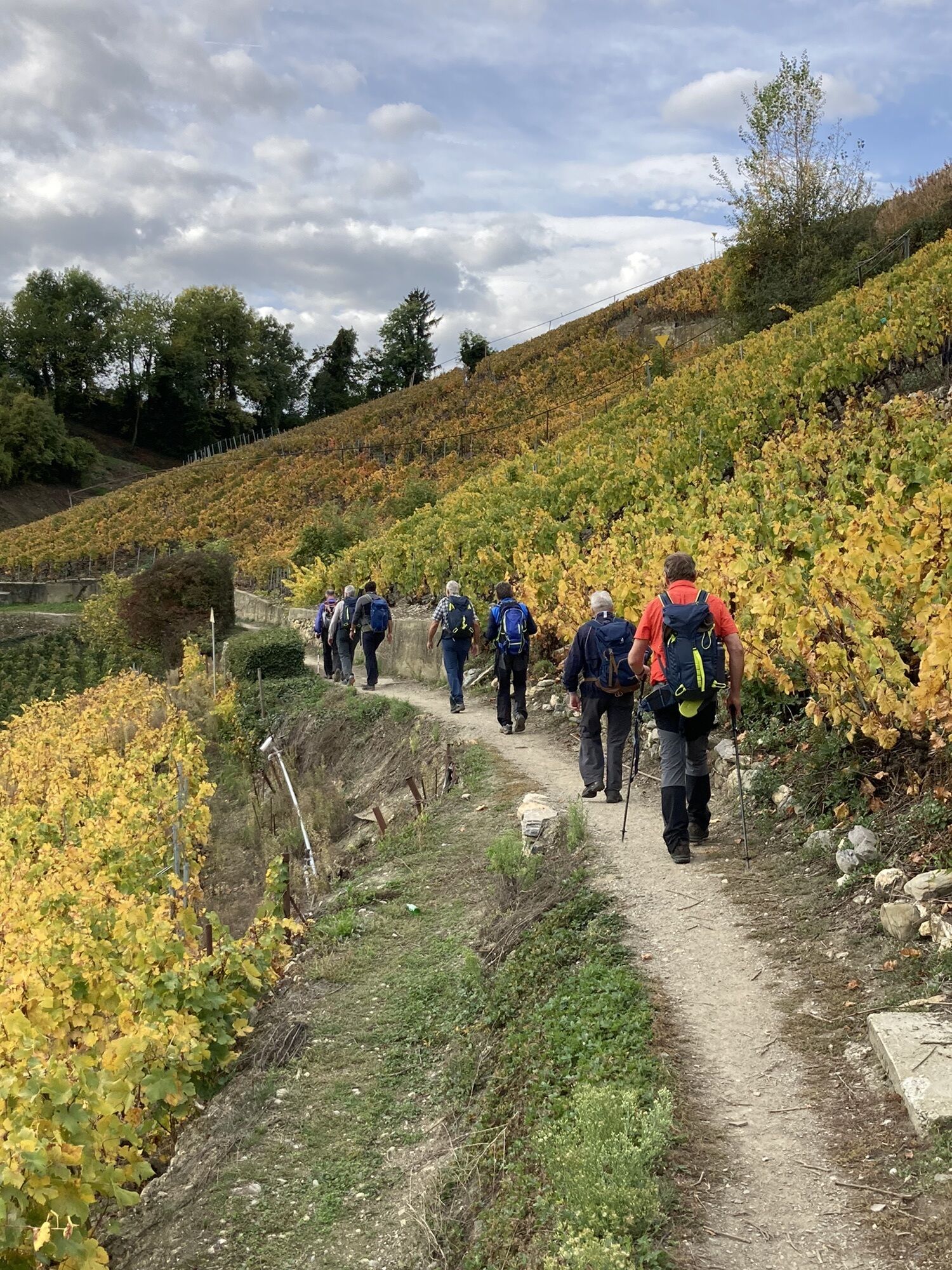
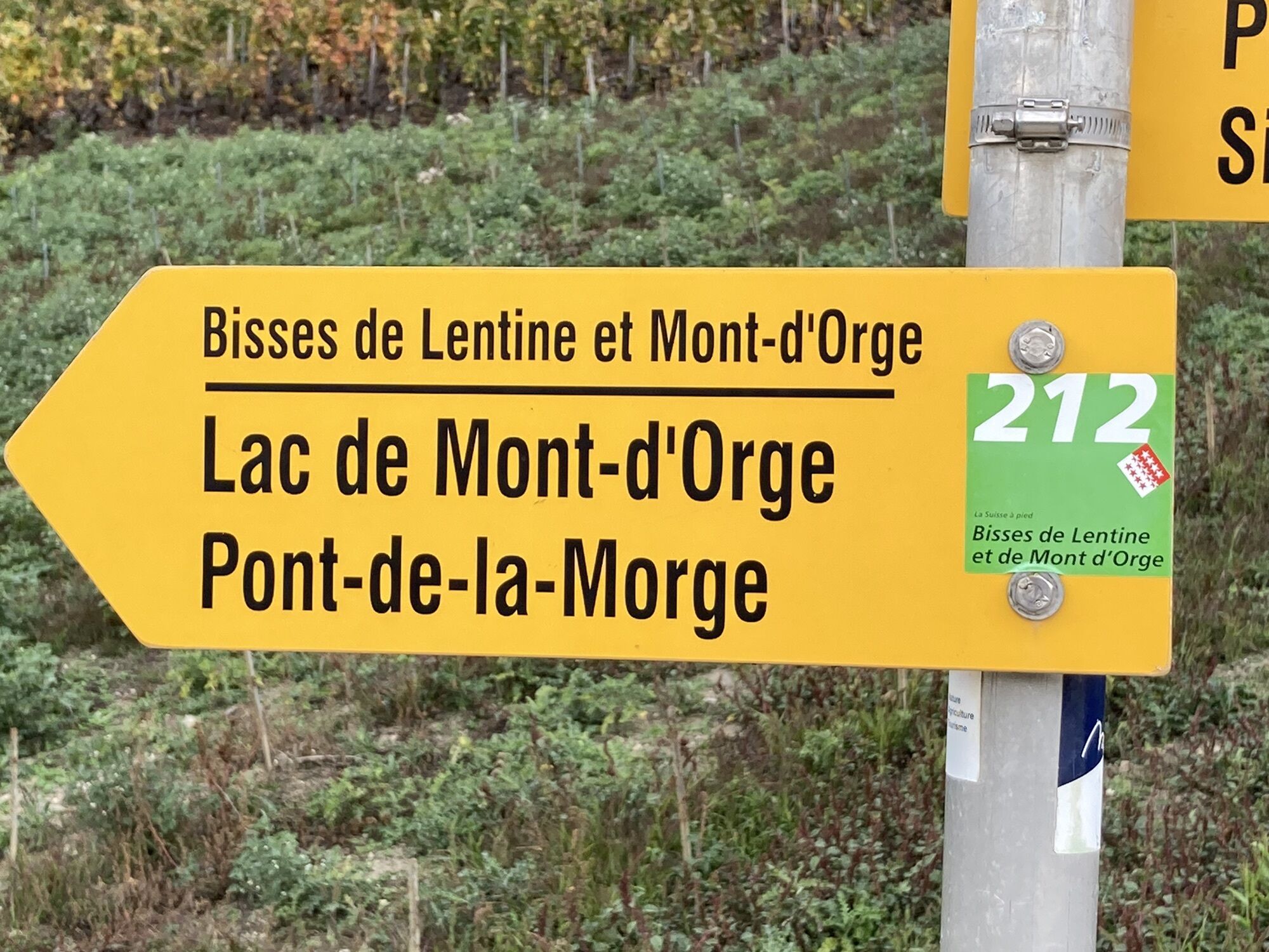
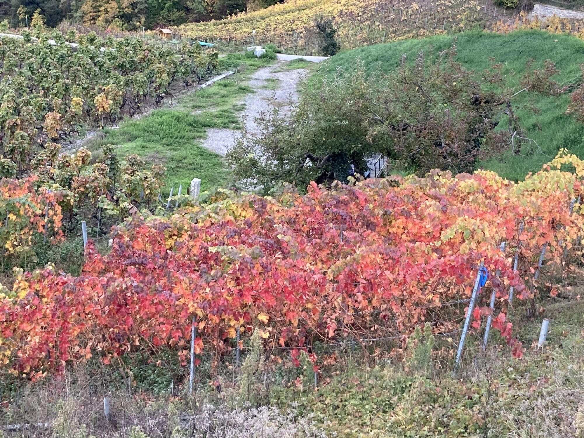


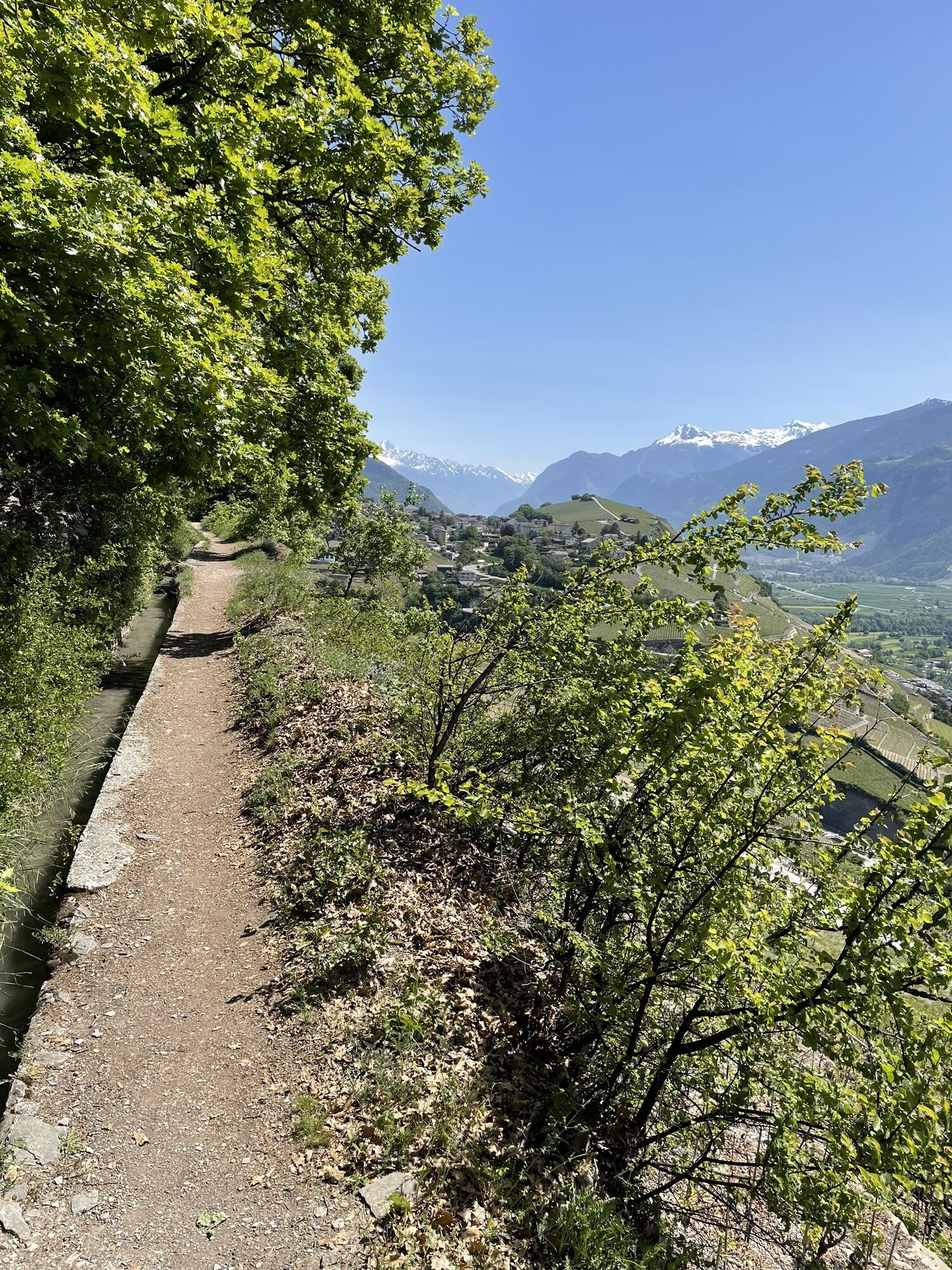
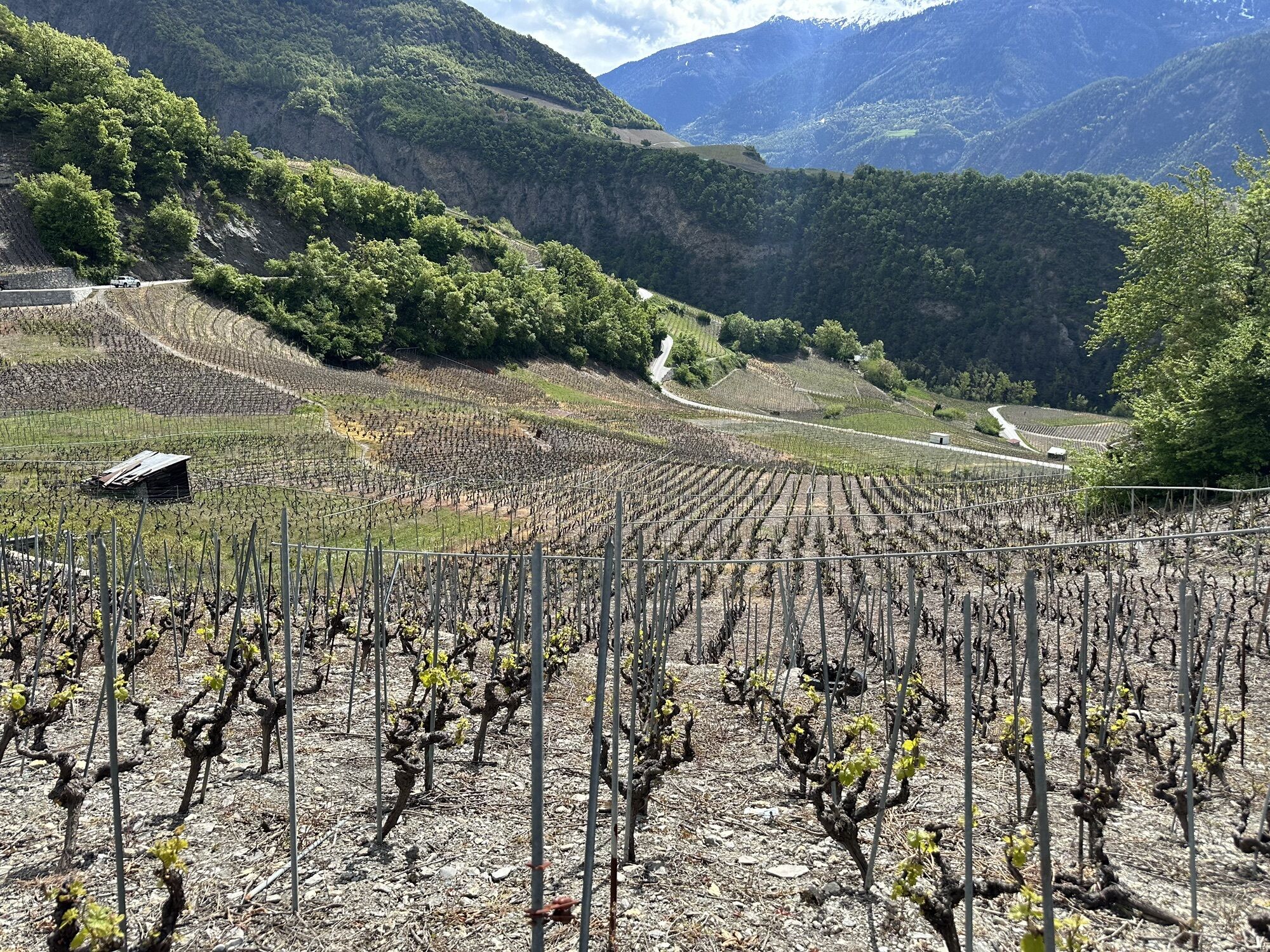
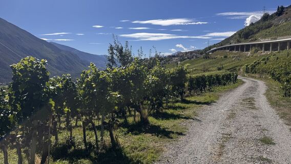
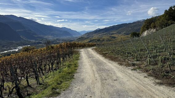
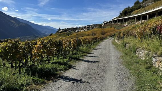
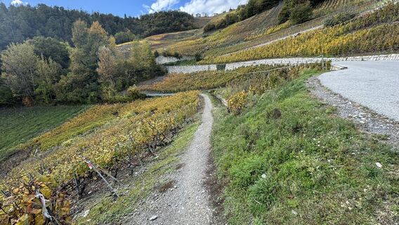
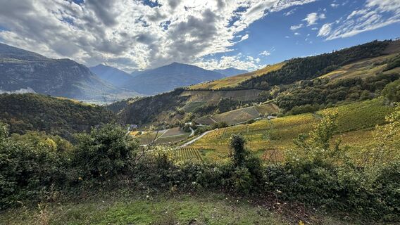
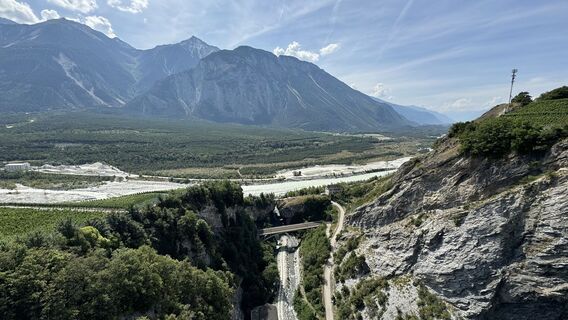
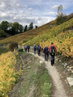
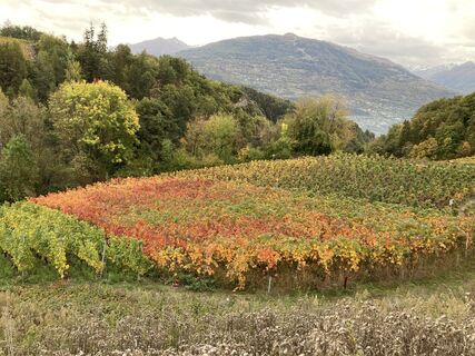
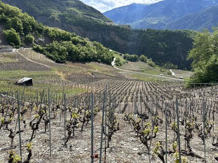
Leave the urban landscape of the capital Sion to leisurely ride through the vineyards before reaching mountain roads promising magnificent climbs. Pass through well-known regions such as St-Léonard with...
Leave the urban landscape of the capital Sion to leisurely ride through the vineyards before reaching mountain roads promising magnificent climbs. Pass through well-known regions such as St-Léonard with its underground lake, the sunny town of Sierre, or Salgesch with its many red grape varieties, making the village the most important wine-growing community in Upper Valais.

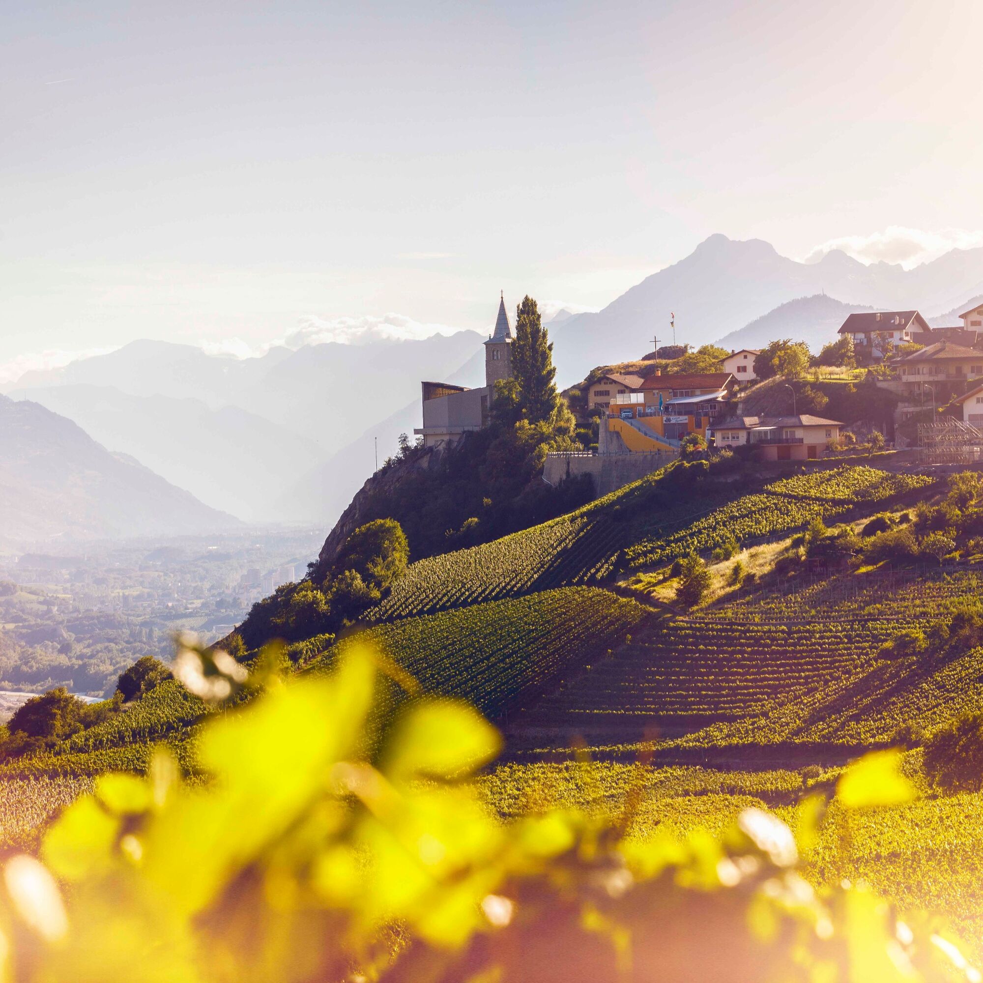
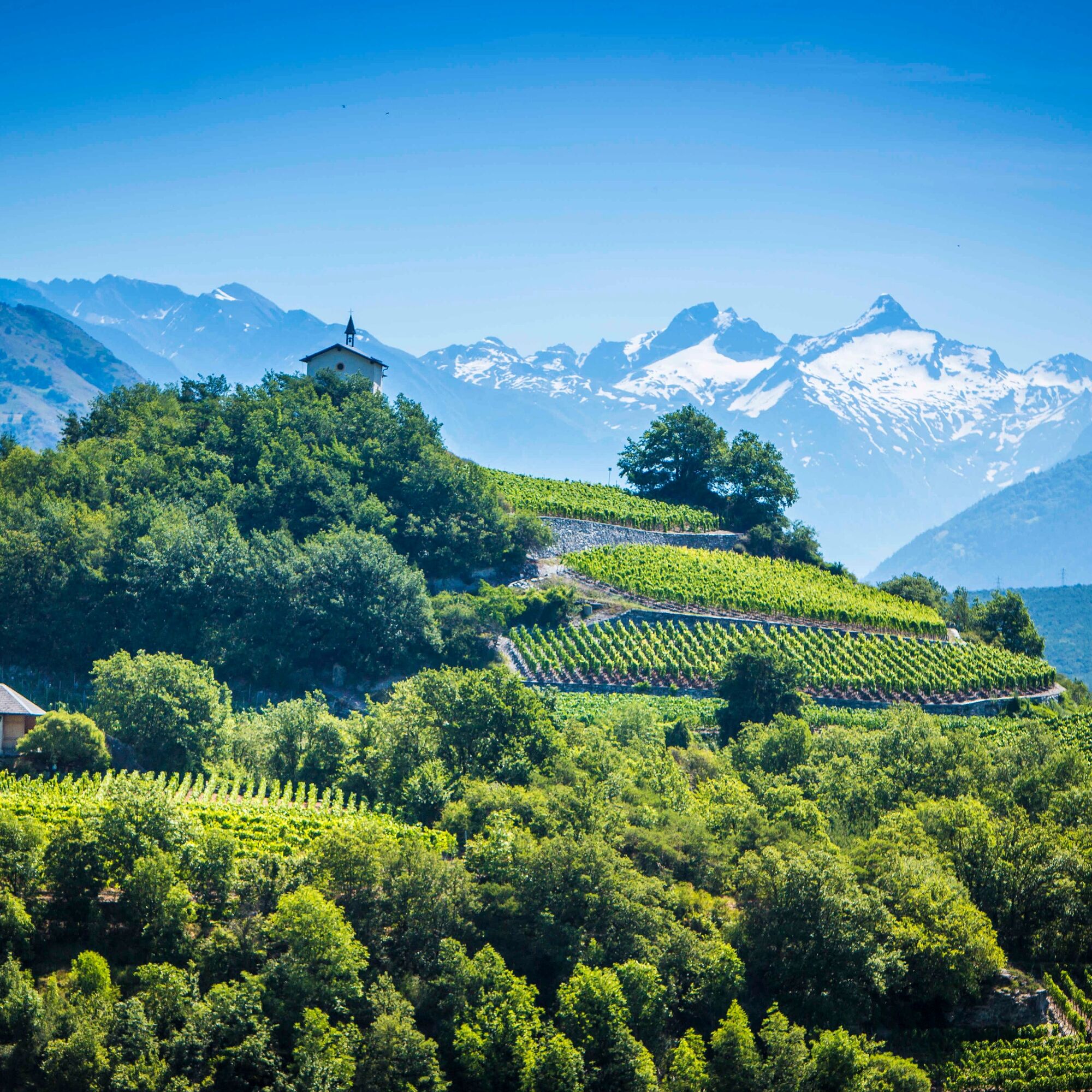
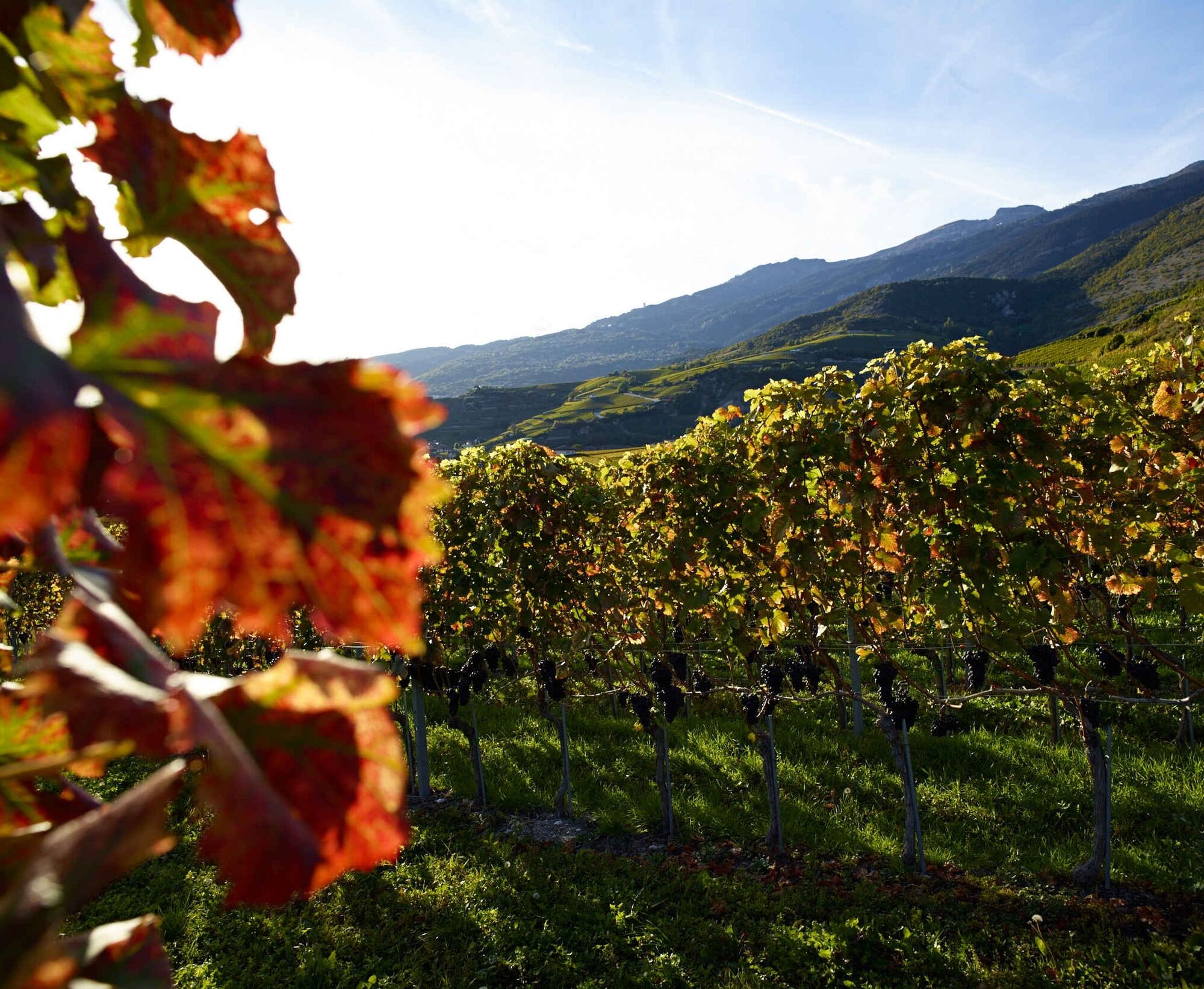
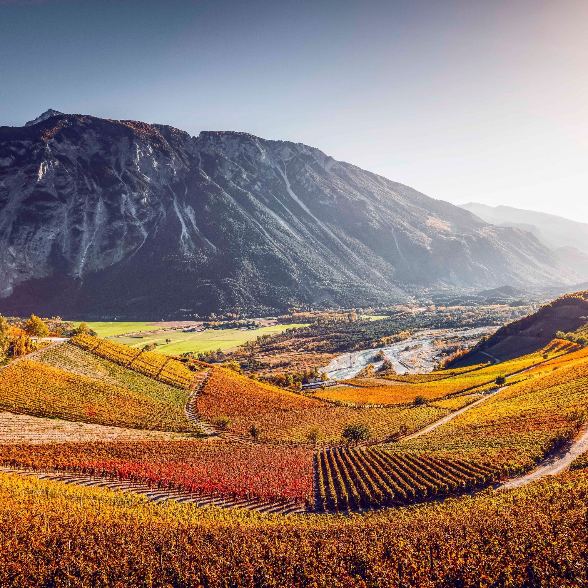
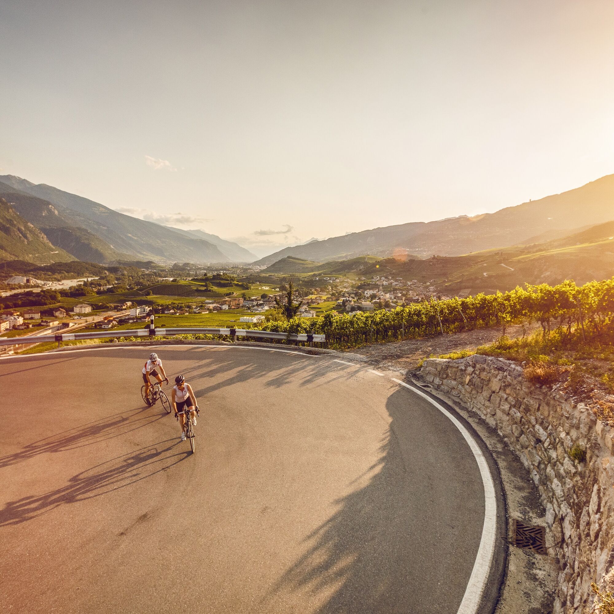
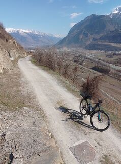
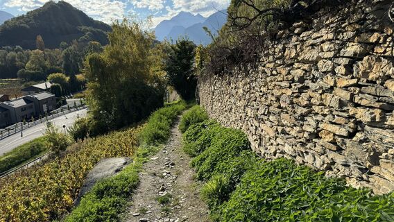
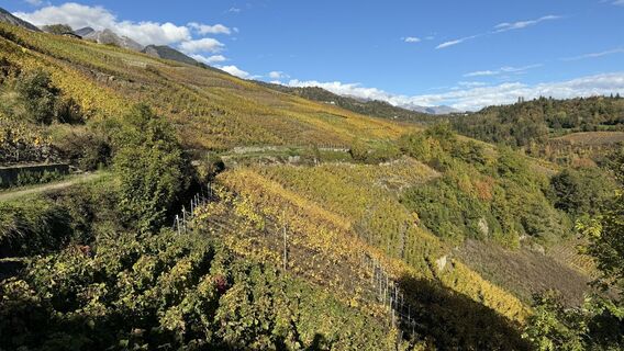
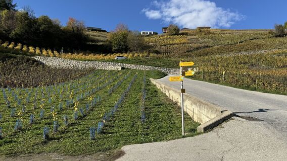
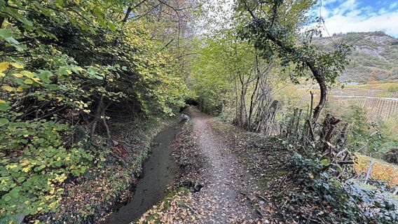
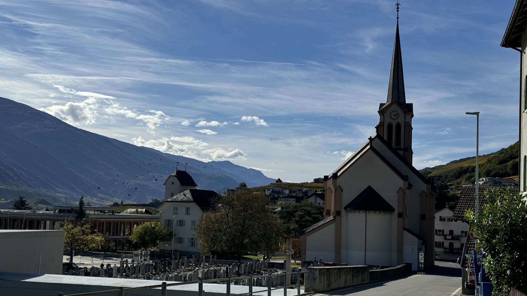
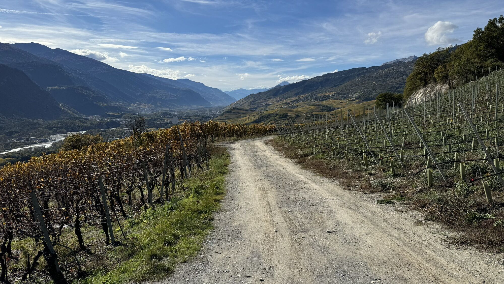
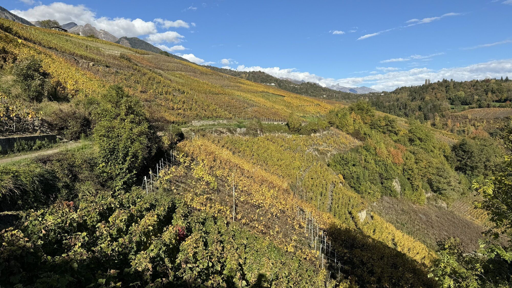
The second stage of the wine route, which connects Sion with Leukerbad, leads up the Rhone Valley, along the impressive dry stone walls lining the right bank. From the foot of the historic Valère and Tourbillon castles, you cycle through a wide variety of grape varieties, sometimes white, sometimes red, through the rolling terrain and steep slopes of Valais. After all these efforts, you can enjoy a moment of relaxation with a tasting of the local wines or a stroll in the thermal waters of Leukerbad.
Áno
Áno
Our recommendation: Technically flawless bike, helmet, gloves, and bell, appropriate clothing depending on the weather (always with you: rain protection), drink and food.
Respect the rules of Swiss road traffic. Riding this route is at your own risk, all liability is excluded. Respect the flora and fauna around you. For your safety, we recommend wearing a bicycle helmet. Emergency numbers: 144 ambulance / 117 police /1414 Rega. Assess your own skills and fitness well. Riding the different routes is fundamentally at your own responsibility.
Via the A9 motorway from Lausanne or Sierre, exit Sion-East (No. 27) or via the cantonal road. Via roads open all year round: Pass La Forclaz, Great St Bernard tunnel, Simplon Pass. Via passes open only in summer: Great St Bernard, Nufenen, Grimsel, Furka
Regular train connections from all over Switzerland to Sion. Possibility to take the bus from Sion station to La Muraz, Mont d'Orge. At the end of the route, you are at Leuk station. Train and bus timetables can be found at sbb.ch.
Follow the parking guidance system in Sion.
3
1306 Sion / 1286 St-Léonard / 1287 Sierre
Leuk is home to the oldest vine in Switzerland, a Cornalin planted in 1798. Once there, you should not miss tasting the wine produced by the local winemakers based on this vine under the name Vitis Antiqua 1798.
Obľúbené výlety v okolí
-
5,0
Bella-Tola
strednáVysoké turné 6,72 km -
4,0
Grand Bisse de Lens
svetloTuristika 8,73 km -
4,0
Tripon - Brac – Ancien Bisse du Torrent Neuf – St. Marguerite – Torrent Neuf – Prafirmin - St. Germain
svetloTuristika 12,9 km -
4,0
Belvédère via ferrata
strednáVia ferrata 1,81 km -
5,0
Wildstrubel Umrundung 4-Tage
strednáTuristika 79,1 km -
Grand bisse d’Ayent
strednáTuristika 11,7 km -
4,5
Sentier viticole / Wine trail
svetloTuristika 7,49 km -
Bisse du Tsittoret
strednáTuristika 10,6 km -
5,0
Wine route: Venthône – Leuk (Stage 4)
strednáTuristika 12,8 km -
5,0
Mayentset Bike
strednáMountainbike 21,6 km
Turistika a stopovanie


Nenechajte si ujsť ponuky a inšpiráciu na ďalšiu dovolenku
Vaša e-mailová adresa bol pridaný do poštového zoznamu.