







Rothwald Trail

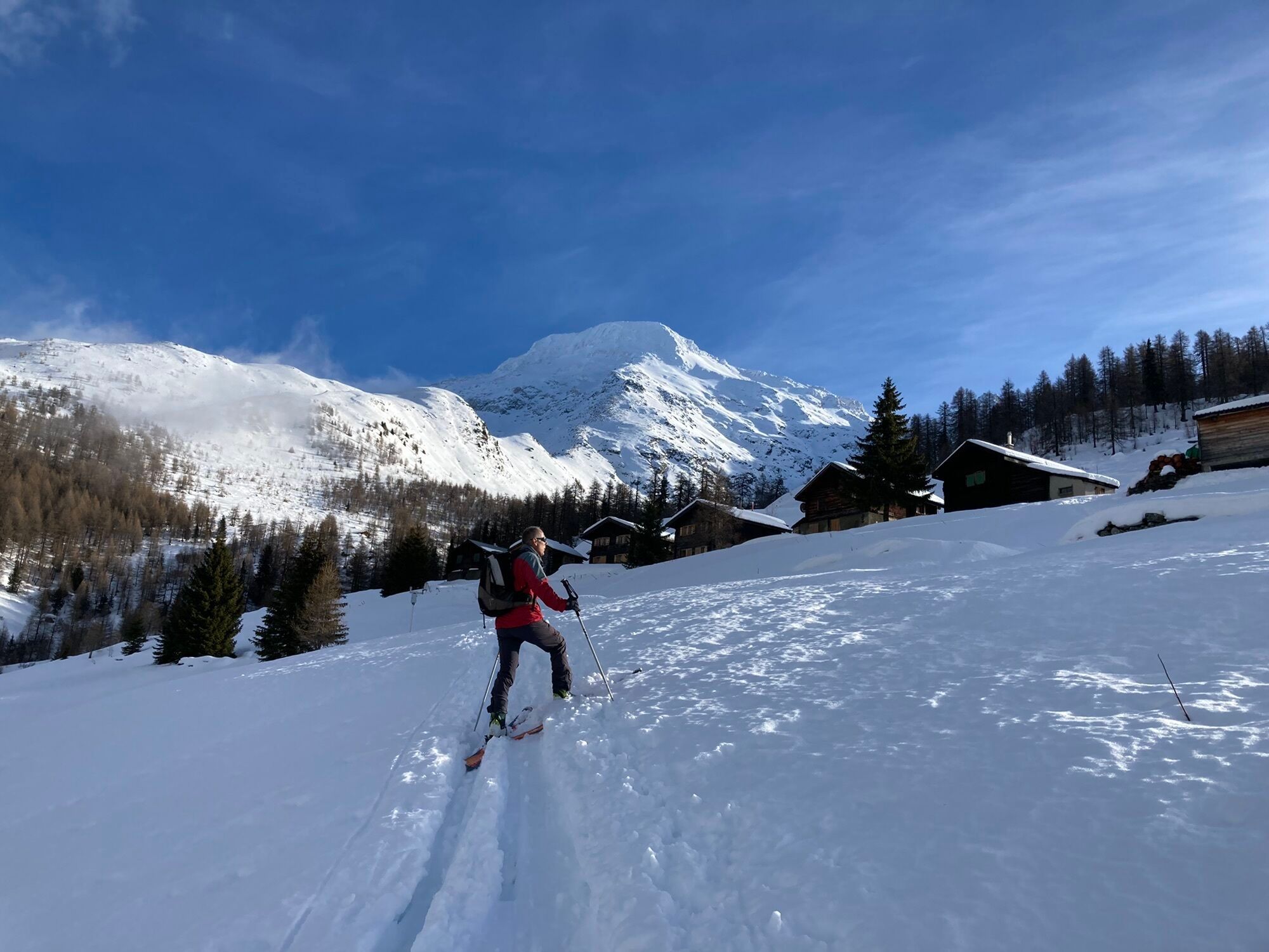
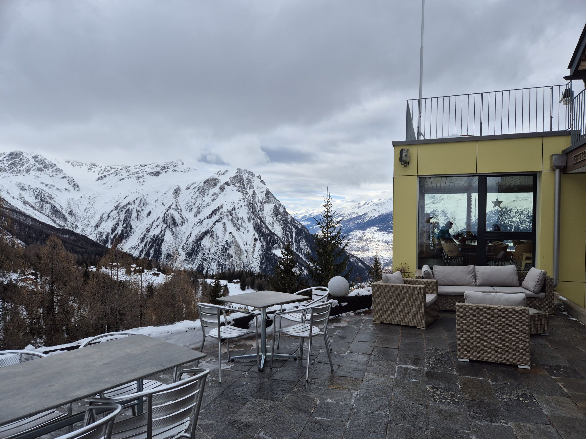
Small but mighty – this phrase perfectly suits the Rothwald ski area at Brigerberg. The region is considered an insider tip for winter wonderland lovers. You will notice this right after starting the Rothwald...
Small but mighty – this phrase perfectly suits the Rothwald ski area at Brigerberg. The region is considered an insider tip for winter wonderland lovers. You will notice this right after starting the Rothwald Trail, as you will soon immerse yourself from the Rothwald ski lift valley station into the upper Rothwald, the highest larch forest in Europe, and the Jochtwald. With some luck, you can observe the local wildlife there without disturbing it. Once you reach the panoramic restaurant Mäderlicka at the top, it is worth taking a break to admire the white-sugared Valais mountain world. And you will also marvel at the impressive Durstbach gorge, which you then descend. Later on the trail, you reach the mountain inn Wasenalp. Completely renovated in 2008, it impresses with its modern infrastructure combined with much charm and coziness. Here, too, you can be pampered and enjoy the wonderful view of the Valais and Bernese Alps as well as the Rhone valley.
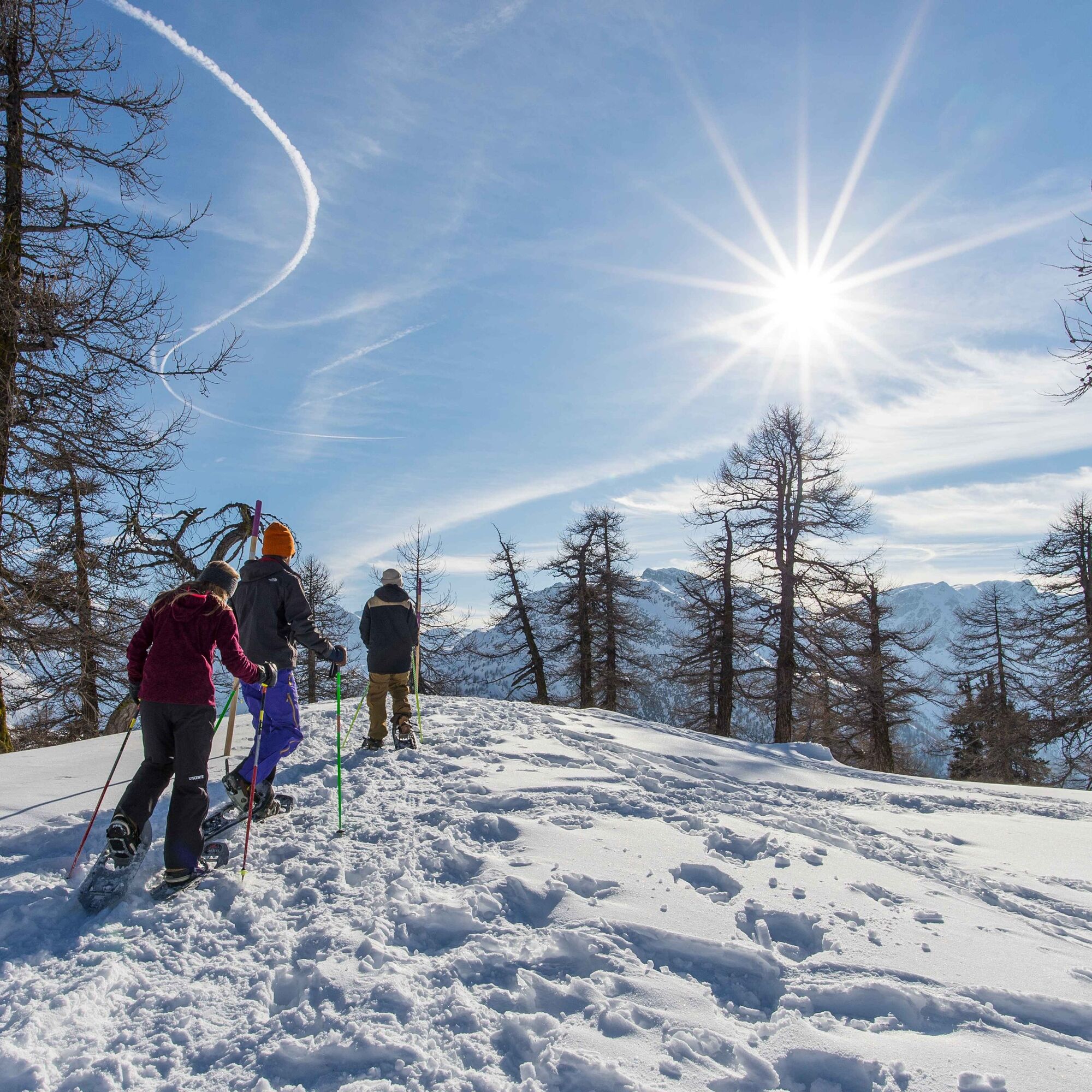
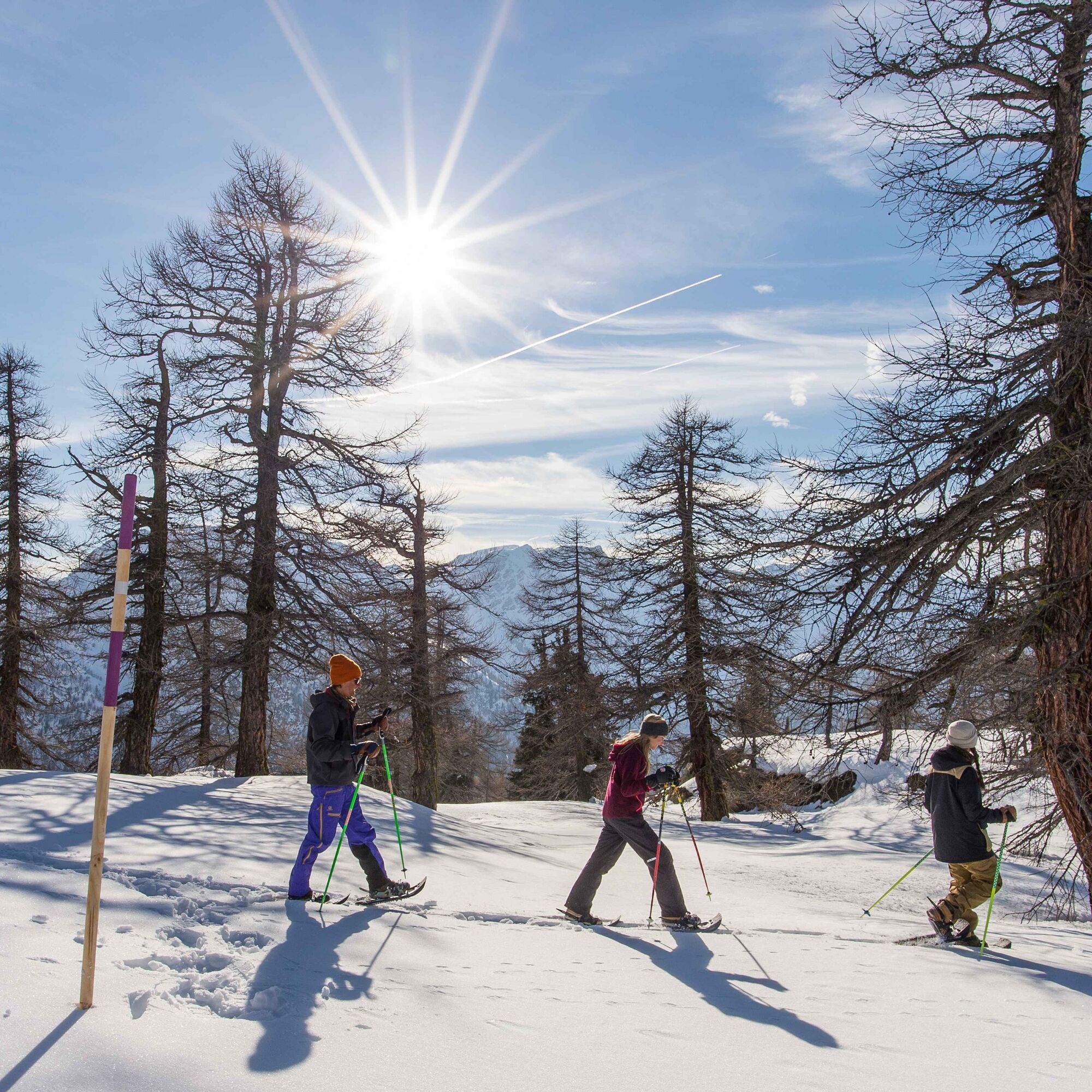
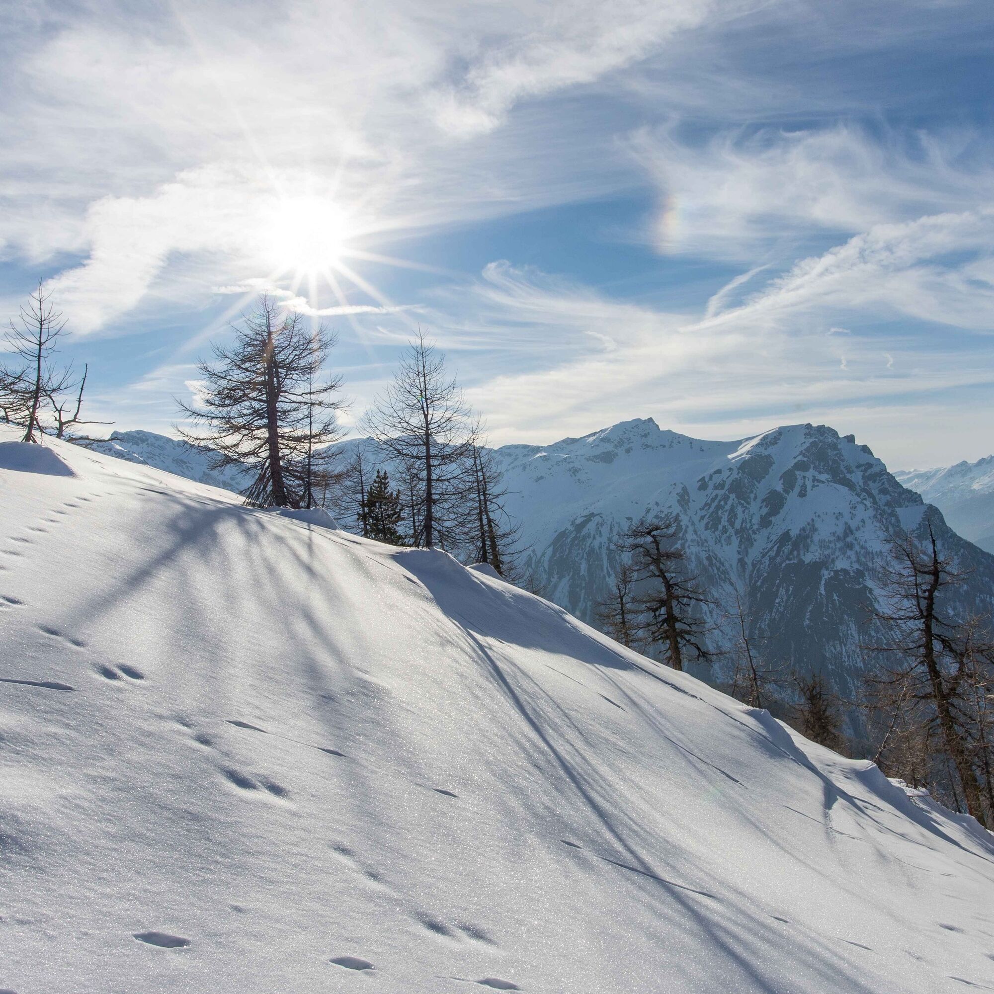

This 6.4-kilometer snowshoe trail leads from the valley station of the Rothwald ski lift along a marked route into the upper Rothwald, Jochtwald, up to the panoramic restaurant Mäderlicka. From there, you hike down into the impressive Durstbach gorge to the Durstbach bridge. The route continues to the mountain inn Wasenalp and then down over the "Hackber" into "d’Obru Egge." After that, you walk along a more or less flat path to the Hotel Ganterwald with a bus stop. Or you can take the sidewalk along the national road back to the starting point.
Áno
Use of the snowshoe routes and information on this website is at your own risk. Conditions on site may cause changes to the route. Valais/Wallis Promotion assumes no responsibility for the accuracy and completeness of the information on this website.
Carry a map with you. Download the complete description of the hiking trail with a large-scale map by clicking on "Print" at the top right of the page.
Use only marked trails and observe all signs and instructions – for your own safety, to protect grazing animals, and out of respect for wildlife.
Behave considerately towards other trail users and the landscape. Take your waste and that of others with you.
Bring additional sunscreen. UV rays at high altitudes can be very strong in winter, even in cloudy weather.
Plan your hike carefully. Take into account the required fitness level of all participants as well as weather forecasts and seasonal conditions.
Inform third parties about the route and, if possible, never hike alone.
Weather conditions can change very quickly and without warning in the mountains. Appropriate clothing and sufficient provisions and drinks are very important. In unstable weather, it is better to turn back early.
Do not go onto glaciers without a mountain guide.
Observe warning signs indicating dangers, especially avalanche risk.
Highway A9 towards Brig. Rothwald is located halfway between Brig and the Simplon.
Accessible by train and bus. From Brig station, take the bus to Rothwald, Ganterwald
There are sufficient free parking spaces available at the Rothwald valley station.
View this route on SwitzerlandMobility : No. 358 Rothwald Trail
Ganterwald, Schutzhaus, Wasenalp, and Mäderlicka – at these places you can get refreshments and enjoy the view, partly as far as Italy. By the way: ambitious athletes can also complete the Rothwald Trail in the opposite direction, where the ascent in the gorge tests your fitness.
Webové kamery z prehliadky

Obľúbené výlety v okolí
-
5,0
BELALP - SPARRHORN
ťažkéTuristika 11,2 km -
4,9
SUSPENSION BRIDGE RIEDERALP - BELALP
strednáTuristika 11,5 km -
4,6
Gspon high-altitude route
strednáTuristika 13,9 km -
CIRCULAR HIKE MASSEGGA SUSPENSION BRIDGE
svetloTuristika 6,44 km -
4,0
Höhenwanderung Rosswald
svetloTuristika 6 km -
5,0
Panoramaweg Visperterminen
svetloTuristika 9,72 km -
SUONEN CIRCULAR HIKE GREDETSCHTAL
strednáTuristika 7,45 km -
5,0
VIA FERRATA "ALETSCH"
strednáVia ferrata 3,40 km -
4,0
FOGGENHORN ROUND HIKE
strednáTuristika 13,1 km -
5,0
Binntal, Twingischlucht- Binn nach Ernen
strednáTuristika 10,6 km
Turistika a stopovanie


Nenechajte si ujsť ponuky a inšpiráciu na ďalšiu dovolenku
Vaša e-mailová adresa bol pridaný do poštového zoznamu.





