







Tyndall Trail
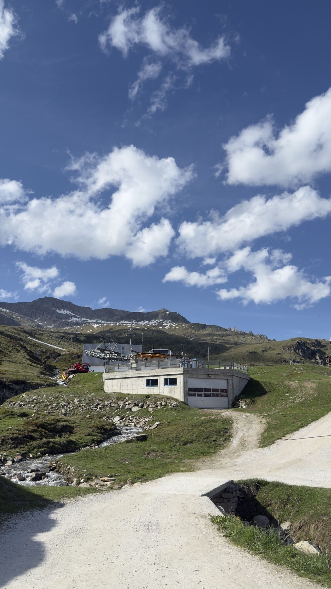
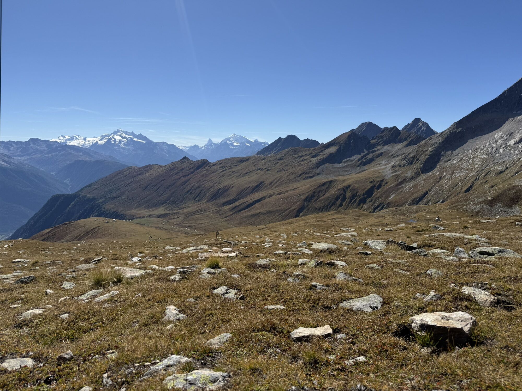
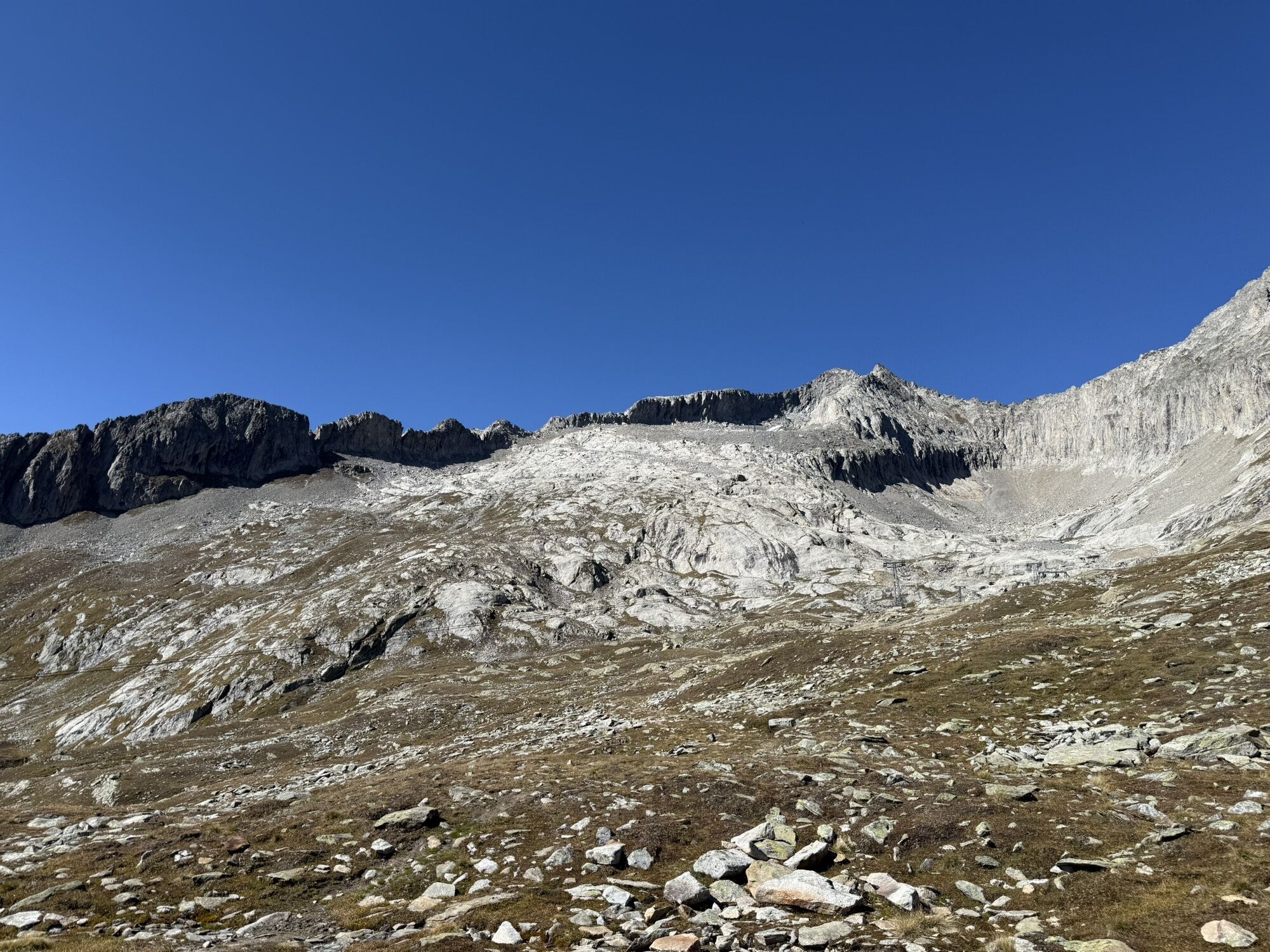
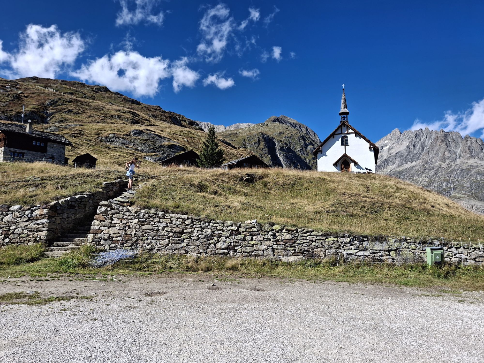
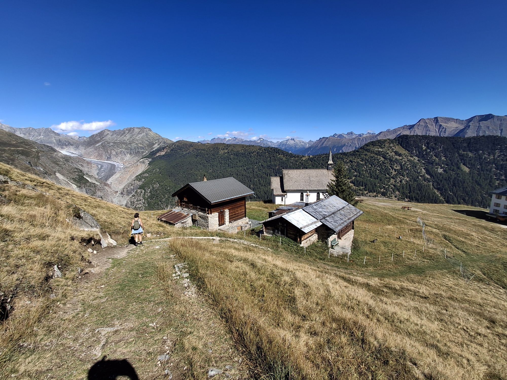
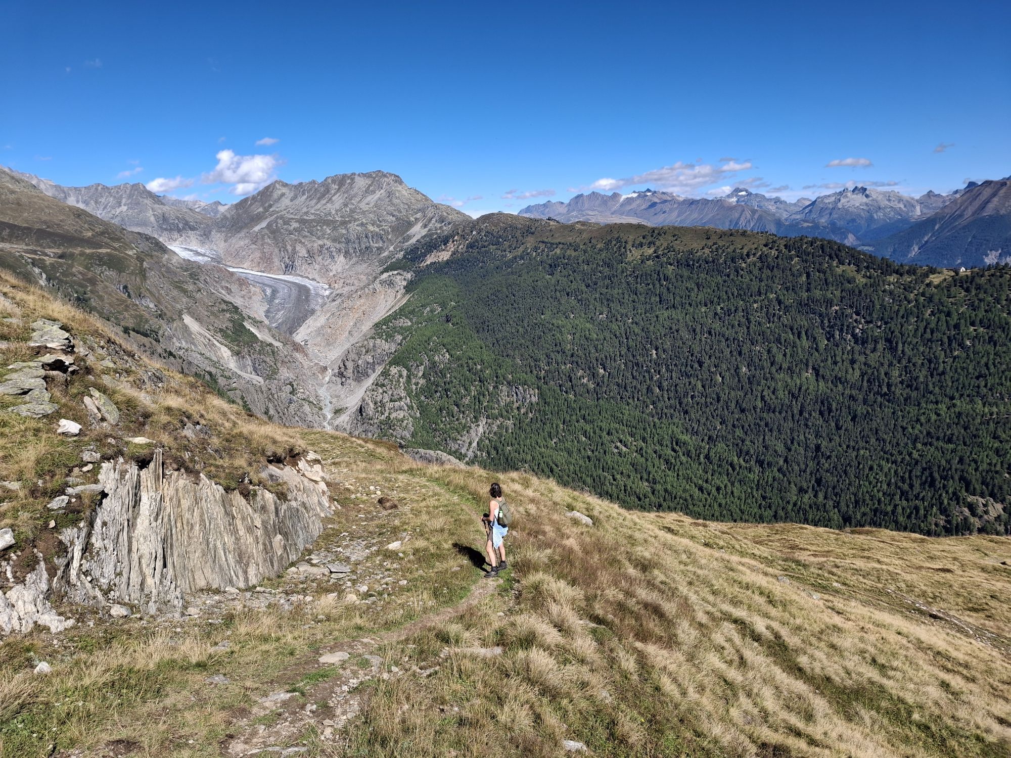
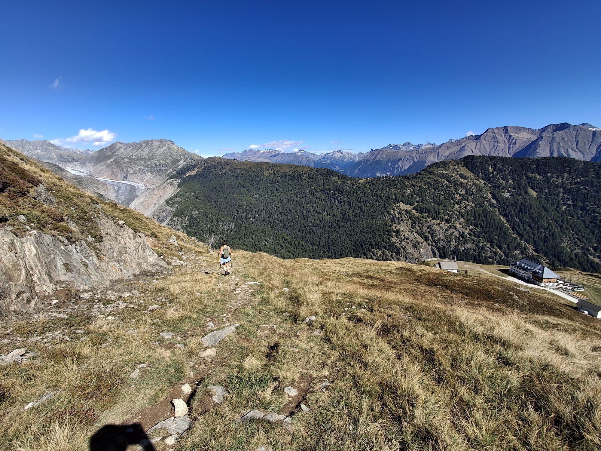
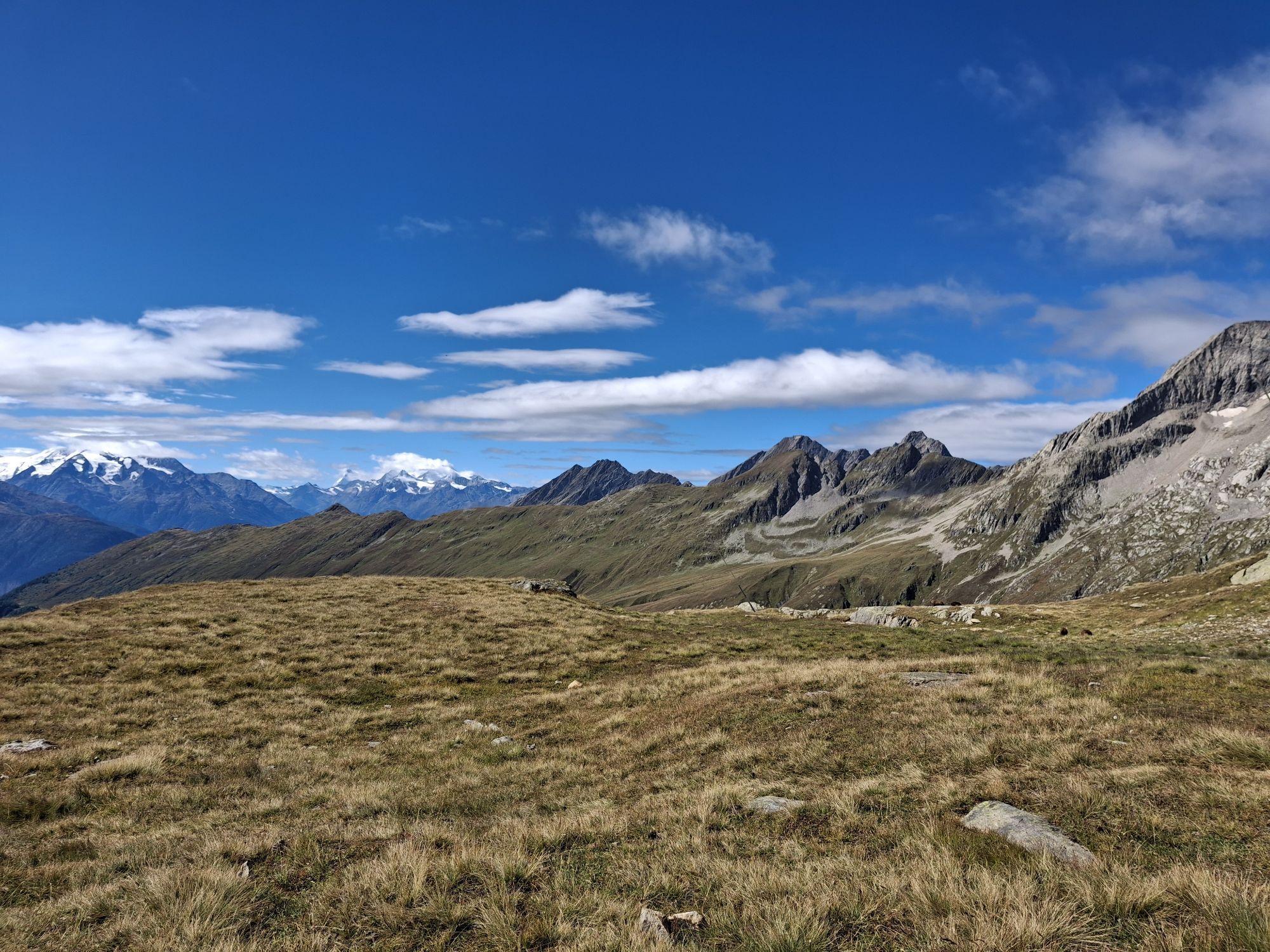
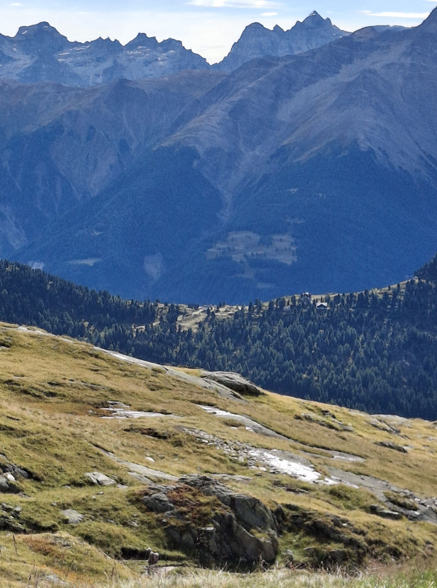
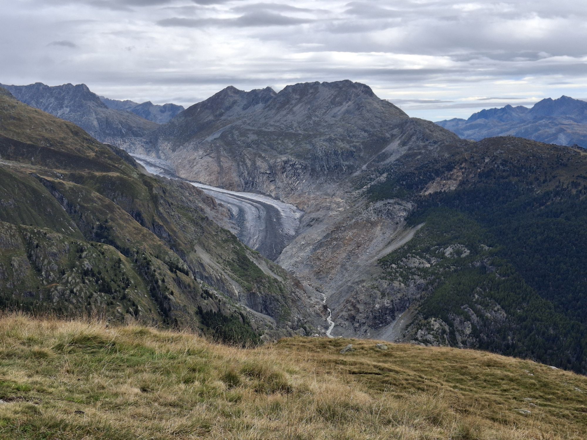
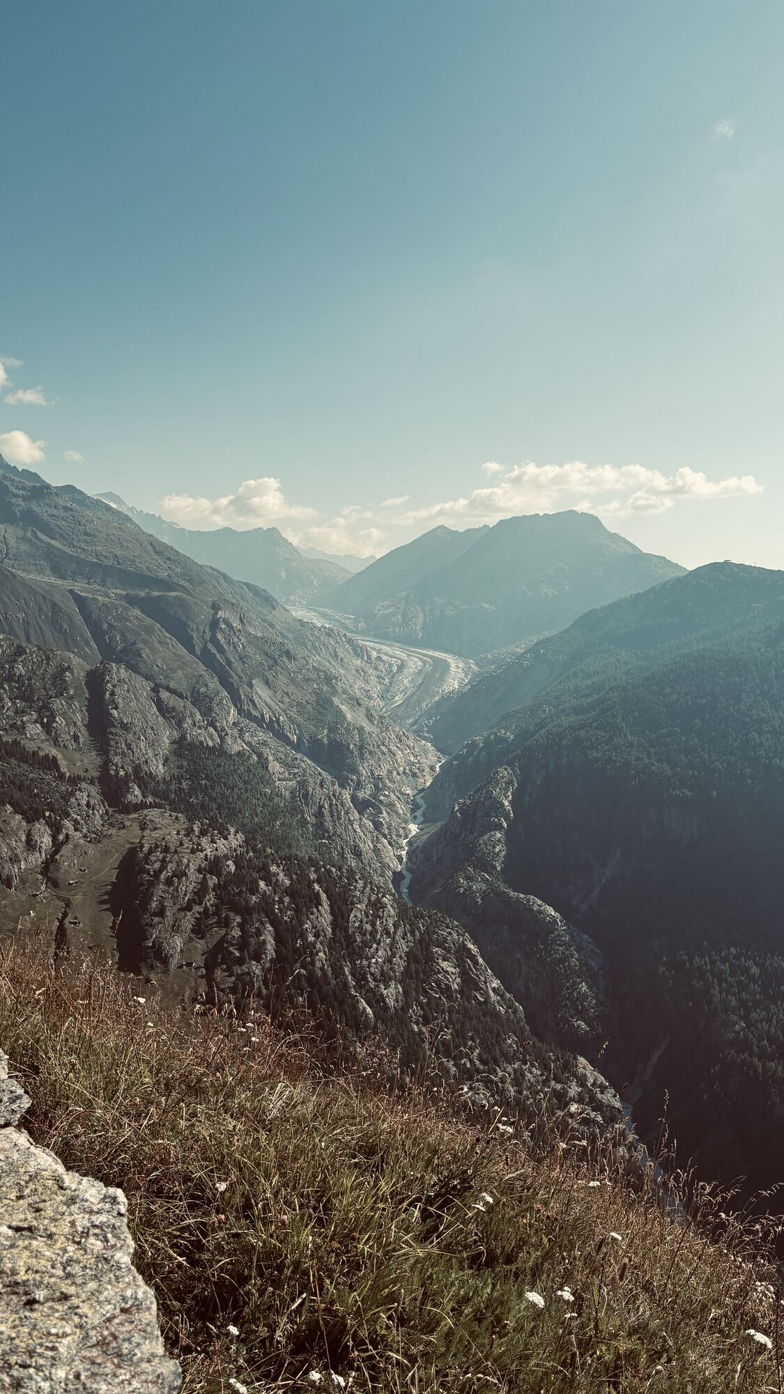
Belalp is an alp and a resort located on a terrace on the south flank of the Unterbächhorn and Sparrhorn. The Tyndall Trail begins at the mountain station of the Belalp railway and initially leads you...
Belalp is an alp and a resort located on a terrace on the south flank of the Unterbächhorn and Sparrhorn. The Tyndall Trail begins at the mountain station of the Belalp railway and initially leads you over a well-prepared path to the Aletschbord. Since 1858, the historic Hotel Belalp has stood there, which was the home of mountain pioneer John Tyndall for 44 summers. The Irishman was a passionate mountaineer and natural scientist who dealt intensively with glacier movements and climate change. In his honor, the 2015 renovated Belalp Hotel still has the historic Tyndall room with original 19th-century interior. On the snowshoe tour, you can enjoy a refreshment in the hotel restaurant and at the same time enjoy the enchanting view of the Great Aletsch Glacier and the surrounding four-thousanders. Afterwards, you set off for Hohbiel, the most challenging part of the trail. However, the view of 17 four-thousanders compensates for the effort. Along the way, you pass the Tyndall monument, which his widow had erected eight years after his death in 1911.

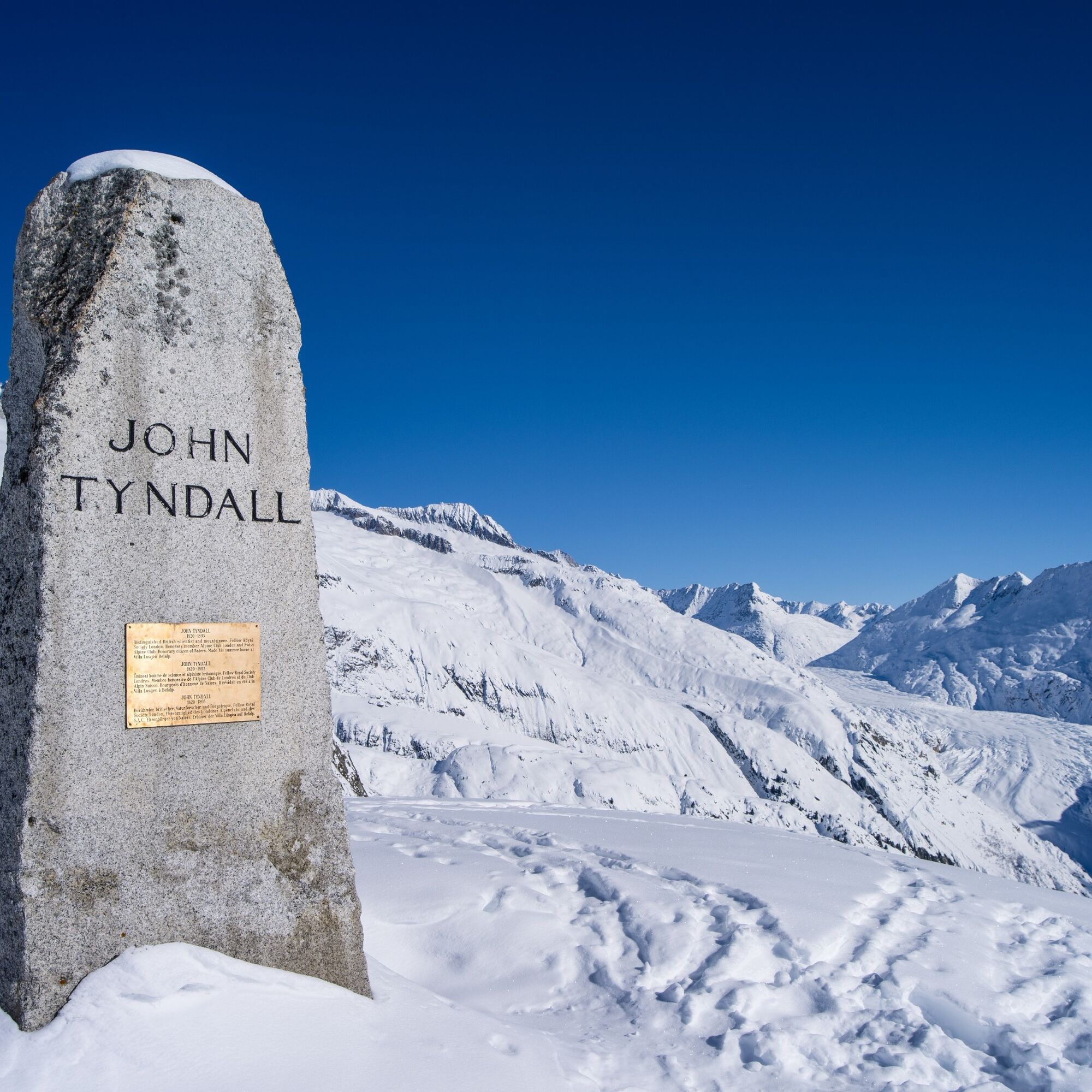
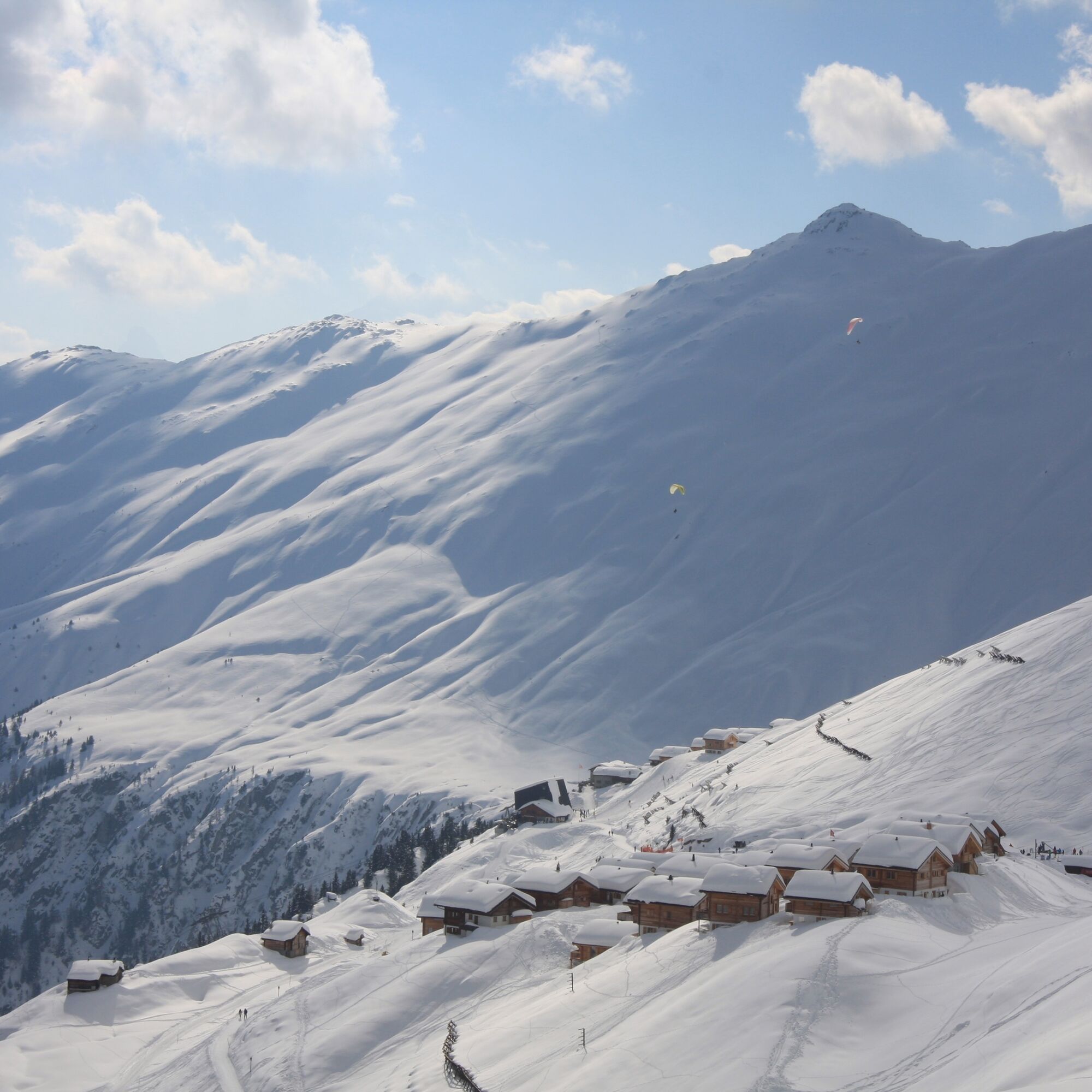
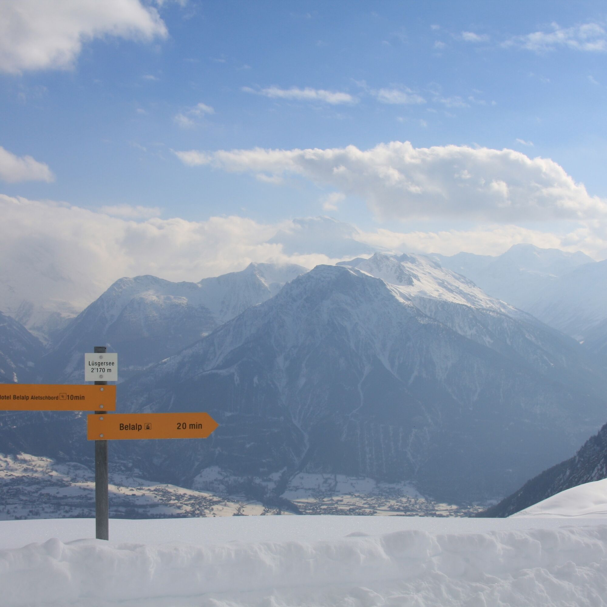

On the eight-kilometer-long Tyndall Trail, which is rated as moderate, you overcome an elevation difference of 580 meters. The starting point of the approximately three-hour snowshoe hike is the mountain station of the Belalp gondola. Then continue on the connecting path towards Aletschbord. Afterwards, you climb on a slightly more demanding path up to the Hohbiel with its reservoir lake. The return route follows the same path.
Áno
We recommend:
Good and waterproof footwear Snowshoes Hiking poles Weather-dependent, waterproof and warm clothing Headgear Sunscreen Provisions Camera Printout of the hiking trail (click on “Print” to download)Use of the snowshoe routes and information on this website is at your own risk. Conditions on site may cause changes to the route. Valais/Wallis Promotion assumes no responsibility for the accuracy and completeness of the information on this website.
Carry a map with you. Download the complete description of the hiking trail with a large-scale map by clicking on “Print” at the top right of the page. Use only marked trails and observe all signposts and instructions – for your own safety, to protect grazing animals, and out of respect for wildlife. Be considerate of other trail users and the landscape. Take your waste and that of others with you. Bring additional sun protection. UV rays at high altitudes can be very strong in winter, even on cloudy days. Plan your hike carefully. Consider the required fitness level of all participants as well as weather forecasts and seasonal dependencies. Inform third parties about your route and, if possible, never hike alone. Weather conditions in the mountains can change very quickly and without warning. Appropriate clothing and sufficient provisions and drinks are very important. In unsettled weather, it is better to turn back early. Do not venture onto glaciers without a mountain guide. Observe warning signs that indicate dangers, especially avalanche danger.A9 motorway towards Brig. Continue towards Naters until you reach Blatten.
Accessible by train and bus. From Brig station take the post bus to Blatten (Belalp).
Day parking lot
For shorter stays of one day, our day parking lot is best suited. It is subject to a fee.
Parking garage / parking lot
Guests staying with us for more than 2 days can park their car in the parking lot or in the parking garage. You can pay for the parking lot at the ticket machine or at the information and ticket counters in Blatten.
The parking lot costs CHF 12.00 per day in winter and CHF 9.00 in summer.
After paying the visitor's tax or as a member of Pro Blatten, you will receive a 15% discount.
Rischinu parking lot
During the winter season, the parking lots in Rischinu are available free of charge. A sports bus brings you easily and conveniently from there to the valley station of the mountain railways.
More information can be found here
More information about the destination:
Refresh yourself in the historic Hotel Belalp and enjoy a fantastic view of the Great Aletsch Glacier and the four-thousanders.
Webové kamery z prehliadky
Získajte prehľad
Vždy naživo na mieste s viac ako 9 500 webovými kamerami. bergfex Ako používateľ Pro si teraz môžete pozrieť príslušné webové kamery pre mnohé zájazdy v aplikácii zájazdy z. Môžete si tak priamo prezerať aktuálne podmienky.
Obľúbené výlety v okolí
-
4,8
Lötschentaler Höhenweg
svetloTuristika 9,17 km -
5,0
BELALP - SPARRHORN
ťažkéTuristika 11,2 km -
4,8
SUSPENSION BRIDGE RIEDERALP - BELALP
strednáTuristika 11,5 km -
UNESCO Höhenweg
Turistika 3,70 km -
5,0
Rundwanderung Anenhütte
strednáTuristika 10,2 km -
4,0
Panoramaweg über den Aletschgletscher
strednáTuristika 17,7 km -
CIRCULAR HIKE MASSEGGA SUSPENSION BRIDGE
svetloTuristika 6,44 km -
4,0
Eggishorn via ferrata
strednáVia ferrata 1,39 km -
5,0
Aletsch Sightseeing
strednáZimná turistika 15,5 km -
4,0
Höhenwanderung Rosswald
svetloTuristika 6 km
Turistika a stopovanie


Nenechajte si ujsť ponuky a inšpiráciu na ďalšiu dovolenku
Vaša e-mailová adresa bol pridaný do poštového zoznamu.





