







Helsana Trail: Crans-Montana yellow
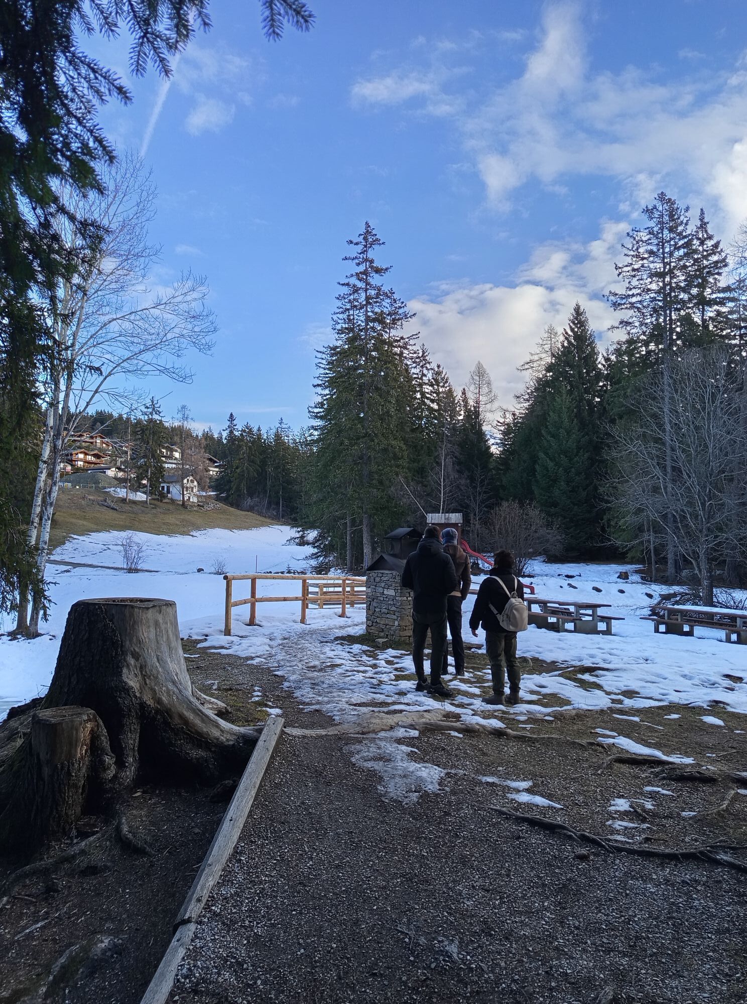
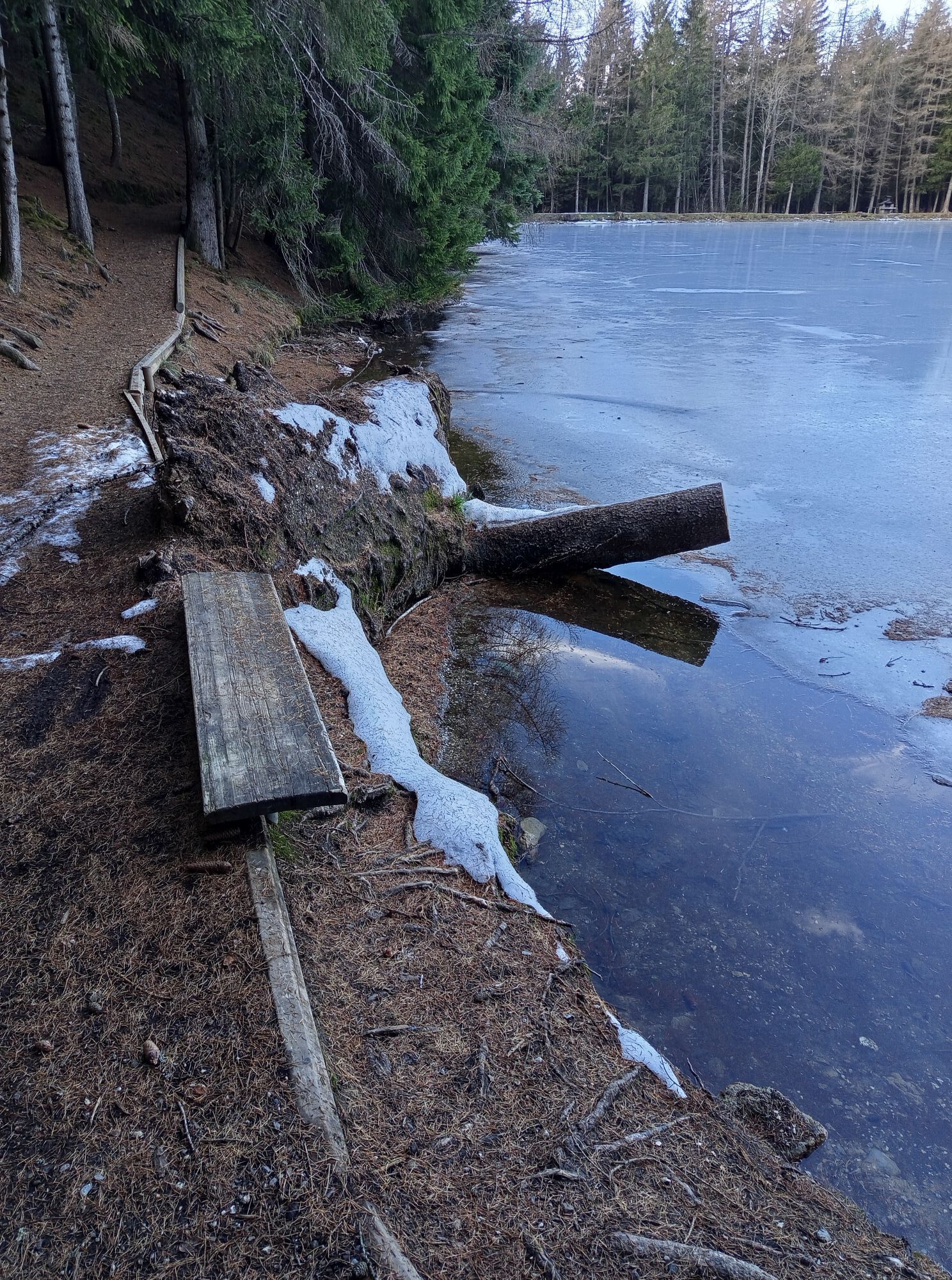
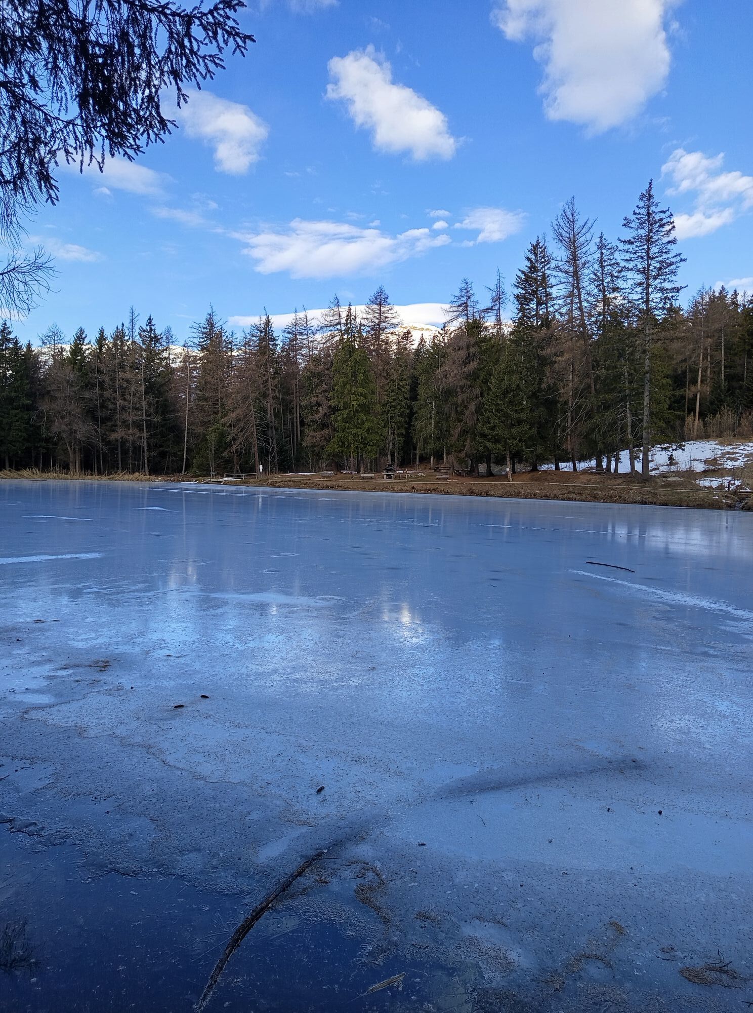
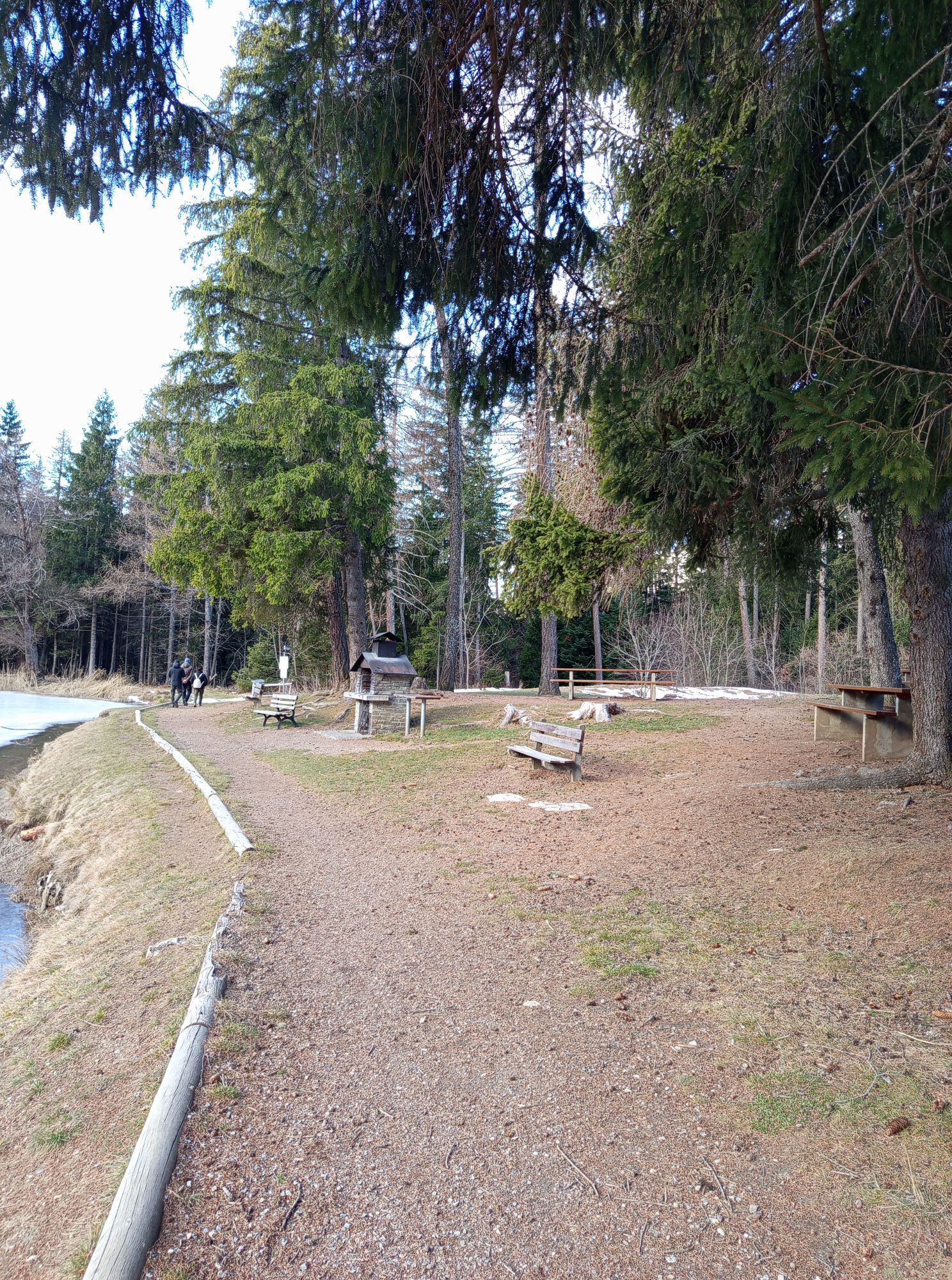
Whatever your goal, Helsana offers more than 360 Helsana Trails where you’ll progress step by step. More than 120 sites offer ideal training ground for everyone. The Helsana Trails let you jog, walk, hike,...
Whatever your goal, Helsana offers more than 360 Helsana Trails where you’ll progress step by step. More than 120 sites offer ideal training ground for everyone. The Helsana Trails let you jog, walk, hike, or take a walk on marked routes. Simply find the route that suits you and get started!
More info at: https://www.helsana.ch/fr/prives/avantages/helsana-trails


Good running shoes.
As the weather changes quickly at altitude, plan to bring clothing accordingly.
Follow the marked trails. Please respect the wildlife, the flora: nature.
Check weather conditions before your departure.
Crans-Montana Tourism & Congress declines all responsibility in case of accident.
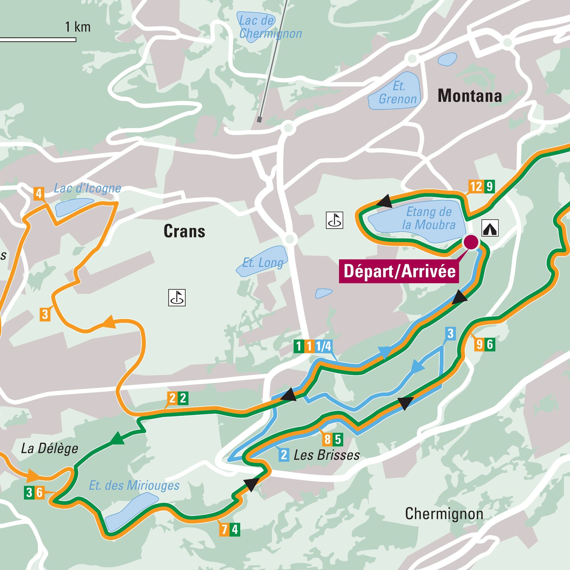
To reach Crans-Montana by car, take the A9 motorway exit (Rhône motorway) named "Sierre ouest." At the motorway exit, turn left and follow the signs indicating "Sierre." At the roundabout, turn right. Continue for 500 meters, then at the entrance to Sierre, turn left towards "Crans-Montana." The drive takes about 20 minutes. Once you arrive in Crans-Montana, follow the signs to reach the parking lot of the Moubra campsite.
The Crans-Montana resort is accessible from Sierre train station with the SMC bus company and also from Sion train station with the postal buses.
The free shuttles of the SMC bus company serve the entire Crans-Montana resort. The closest stop to the start of the track is: Lac Moubra.
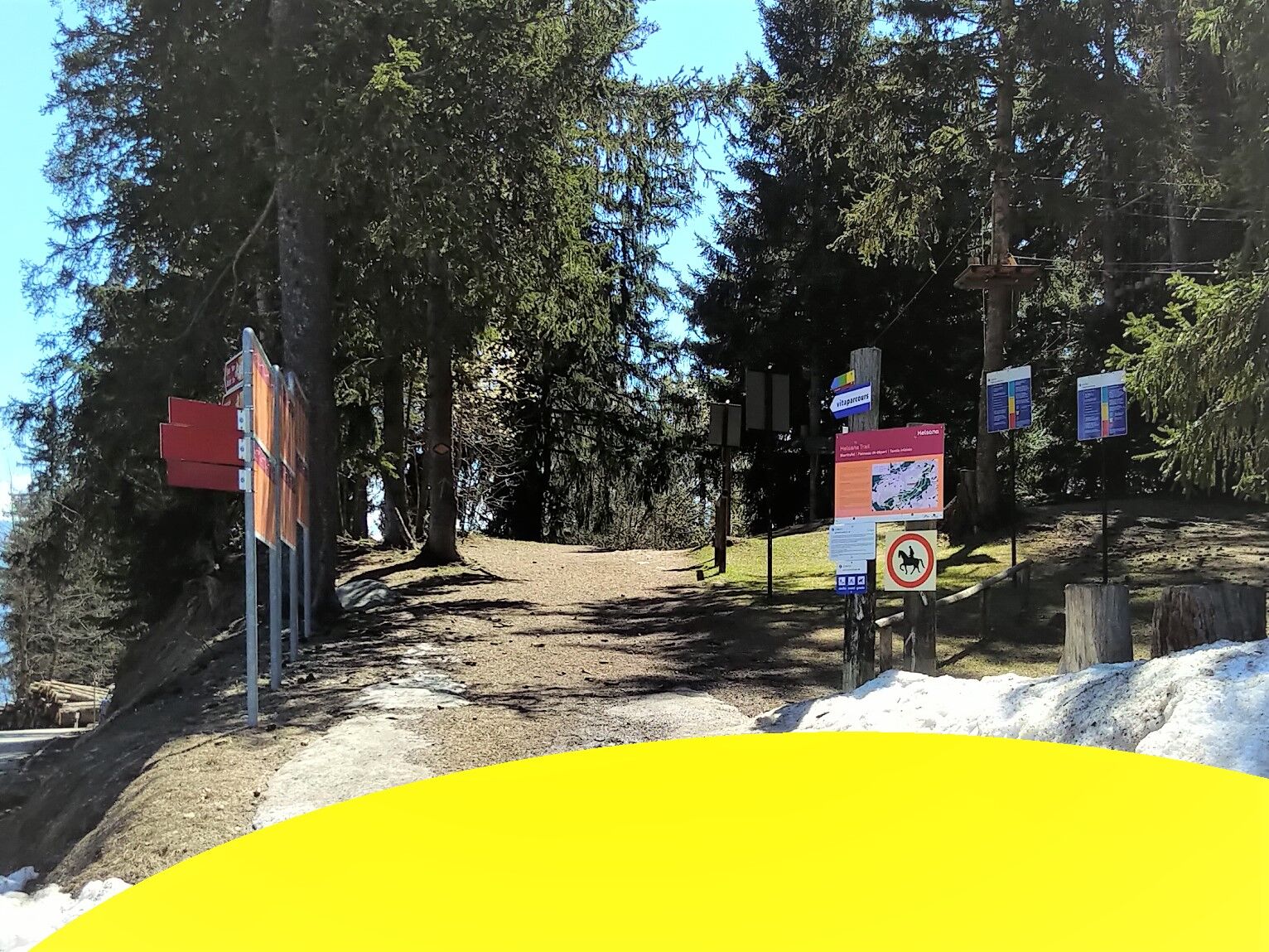
There is free parking in front of the Lac de la Moubra campsite. This place is very close to the start.
Získajte prehľad
Vždy naživo na mieste s viac ako 9 500 webovými kamerami. bergfex Ako používateľ Pro si teraz môžete pozrieť príslušné webové kamery pre mnohé zájazdy v aplikácii zájazdy z. Môžete si tak priamo prezerať aktuálne podmienky.
Obľúbené výlety v okolí
-
5,0
Bisse du Ro
svetloTuristika 11,2 km -
4,2
Grand Bisse de Lens
svetloTuristika 8,73 km -
5,0
Bella-Tola
strednáVysoké turné 6,72 km -
4,0
Tripon - Brac – Ancien Bisse du Torrent Neuf – St. Marguerite – Torrent Neuf – Prafirmin - St. Germain
svetloTuristika 12,9 km -
4,0
Belvédère via ferrata
strednáVia ferrata 1,81 km -
5,0
Grand bisse d’Ayent
strednáTuristika 11,7 km -
5,0
Family-friendly Tsittoret bisse
svetloTuristika 7,14 km -
5,0
Wildstrubel Umrundung 4-Tage
strednáTuristika 79,1 km -
4,0
Around the Tseuzier Reservoir
svetloTuristika 4,58 km -
4,8
Simmenfälle - Restaurant Siebenbrunnen
svetloTuristika 5,30 km

Turistika a stopovanie


Nenechajte si ujsť ponuky a inšpiráciu na ďalšiu dovolenku
Vaša e-mailová adresa bol pridaný do poštového zoznamu.





