


Niwärch and Gorperi Suonen

The sunny slopes have always been known as a very dry region. It was and still is all the more important that meadows and fields could be irrigated. Therefore, the residents did not shy away from neither...
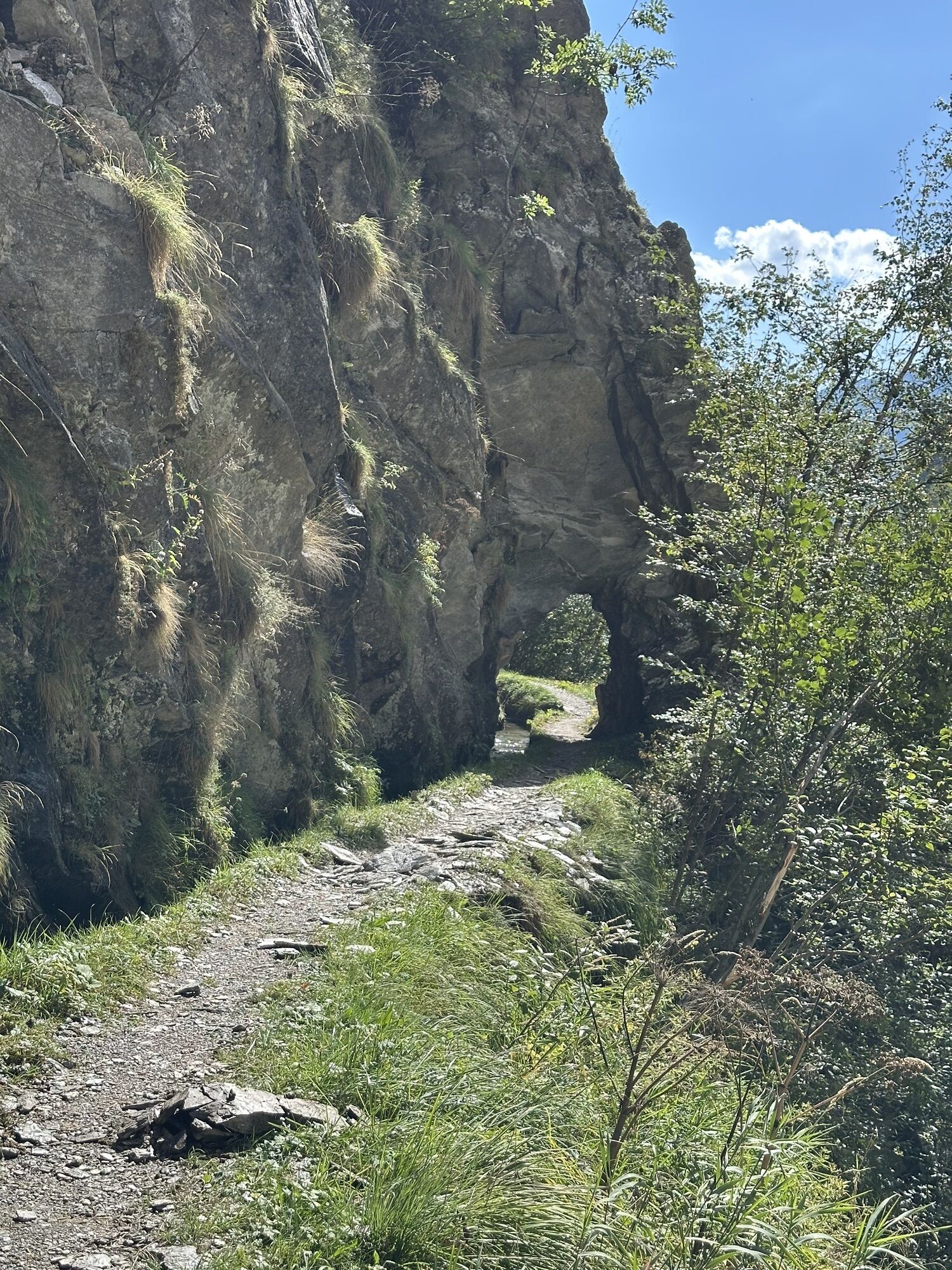
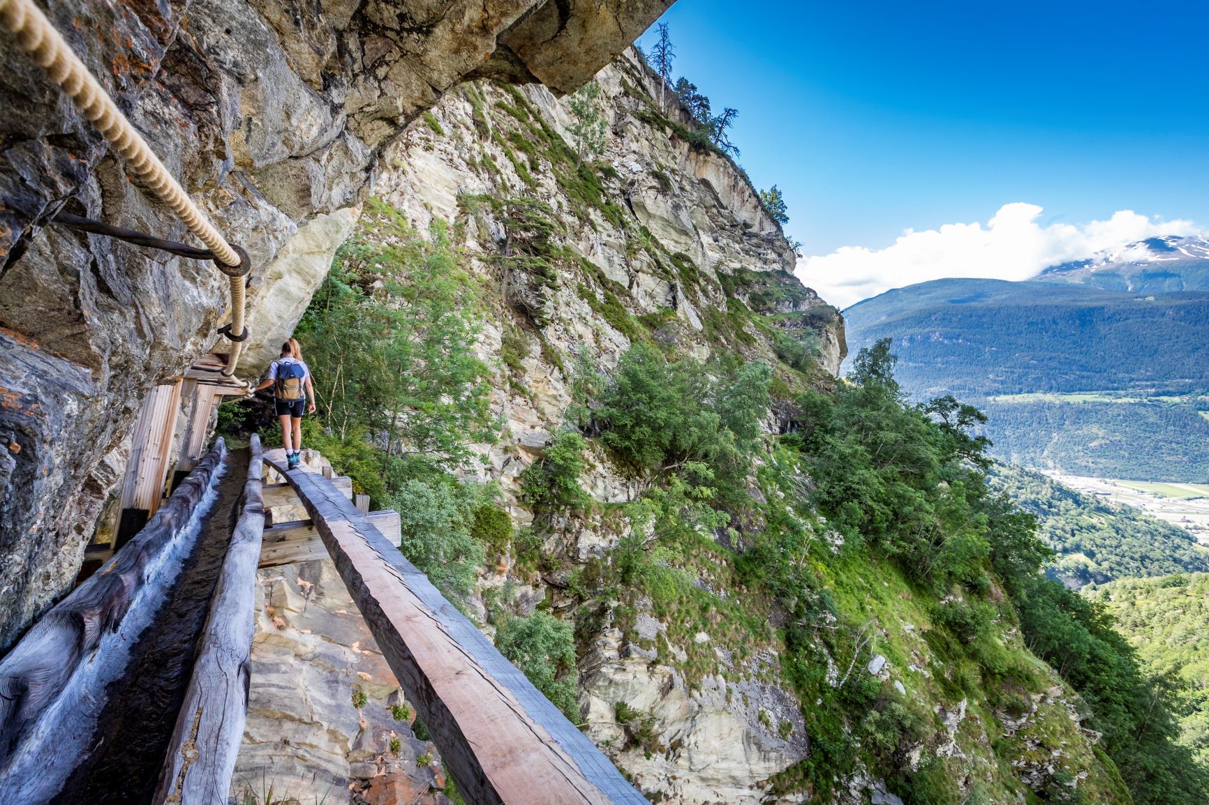
The sunny slopes have always been known as a very dry region. It was and still is all the more important that meadows and fields could be irrigated. Therefore, the residents did not shy away from neither work nor fear to lead the “Suonen” around rocks and through avalanche tracks or forests. Almost overhanging sections were equipped with wooden channels. Through the ditches and forests, the canals were built up with “Tretschborten,” which could also be used as paths.
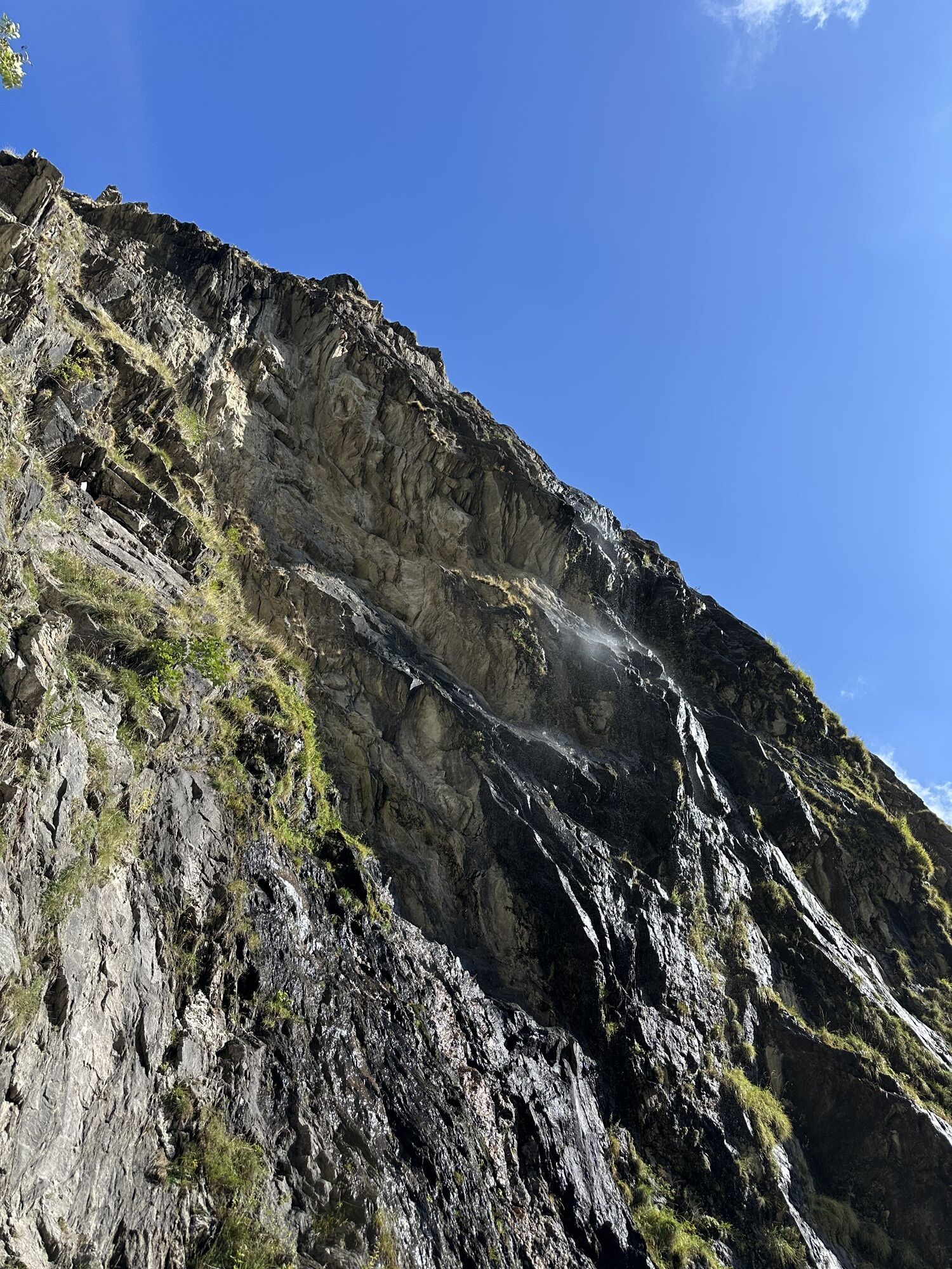
The Niwärch is probably the most spectacular Suone in Upper Valais – dizzying sections along steep rock walls alternate with exposed passages over narrow wooden bridges. This requires safe walking and a head for heights from the hikers. Alternatively, the Niwärch Suone can be bypassed through a tunnel.

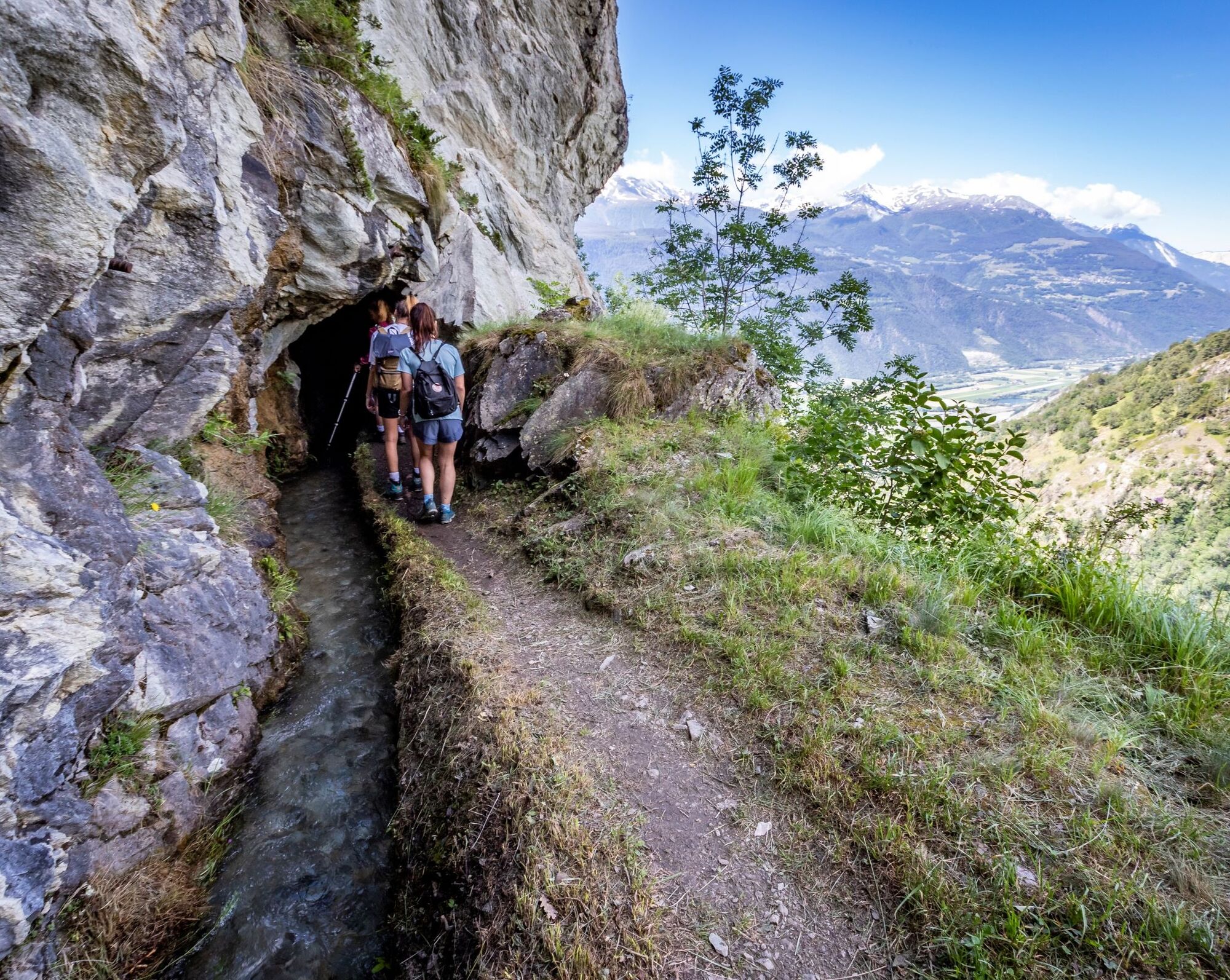
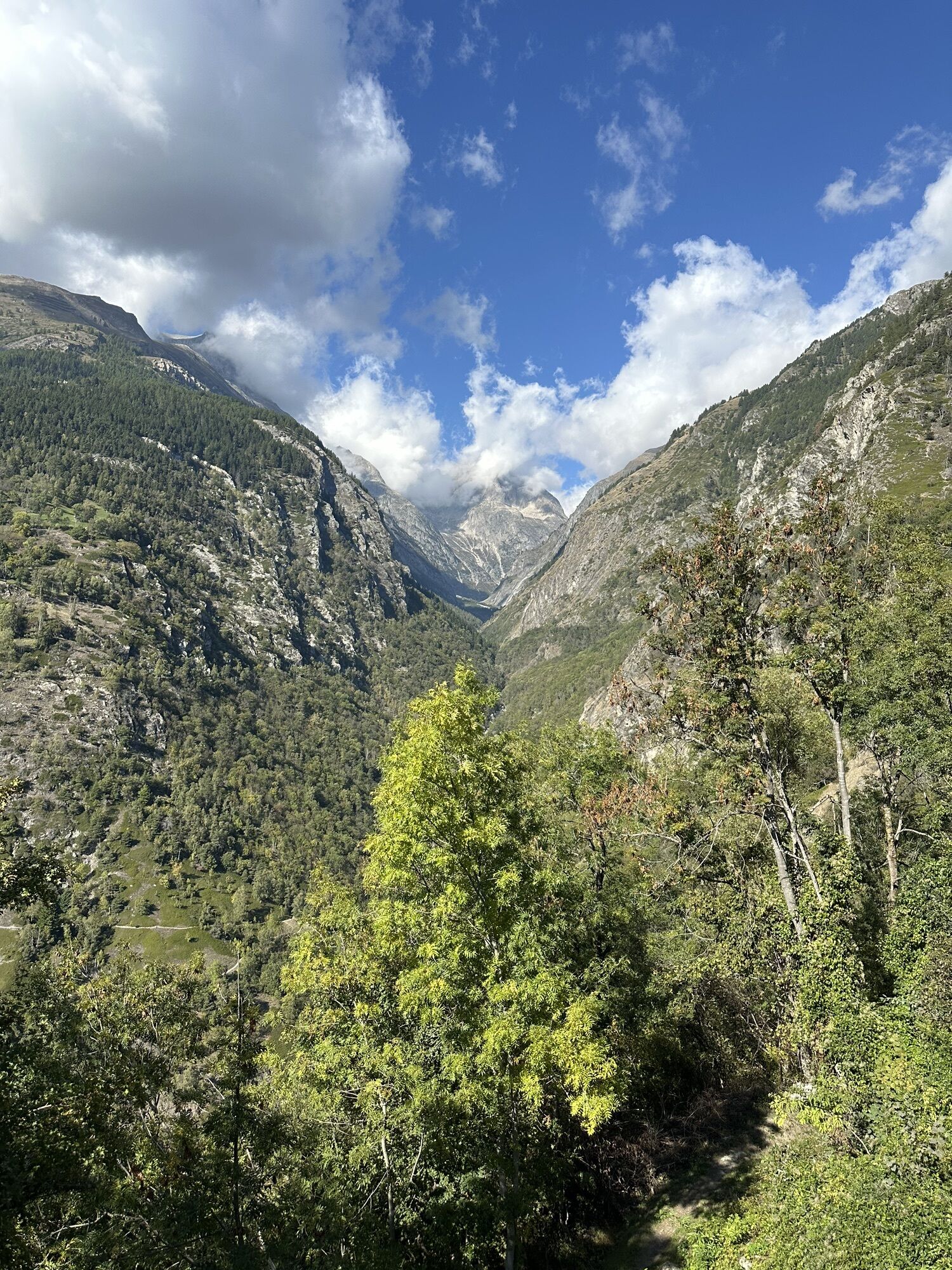
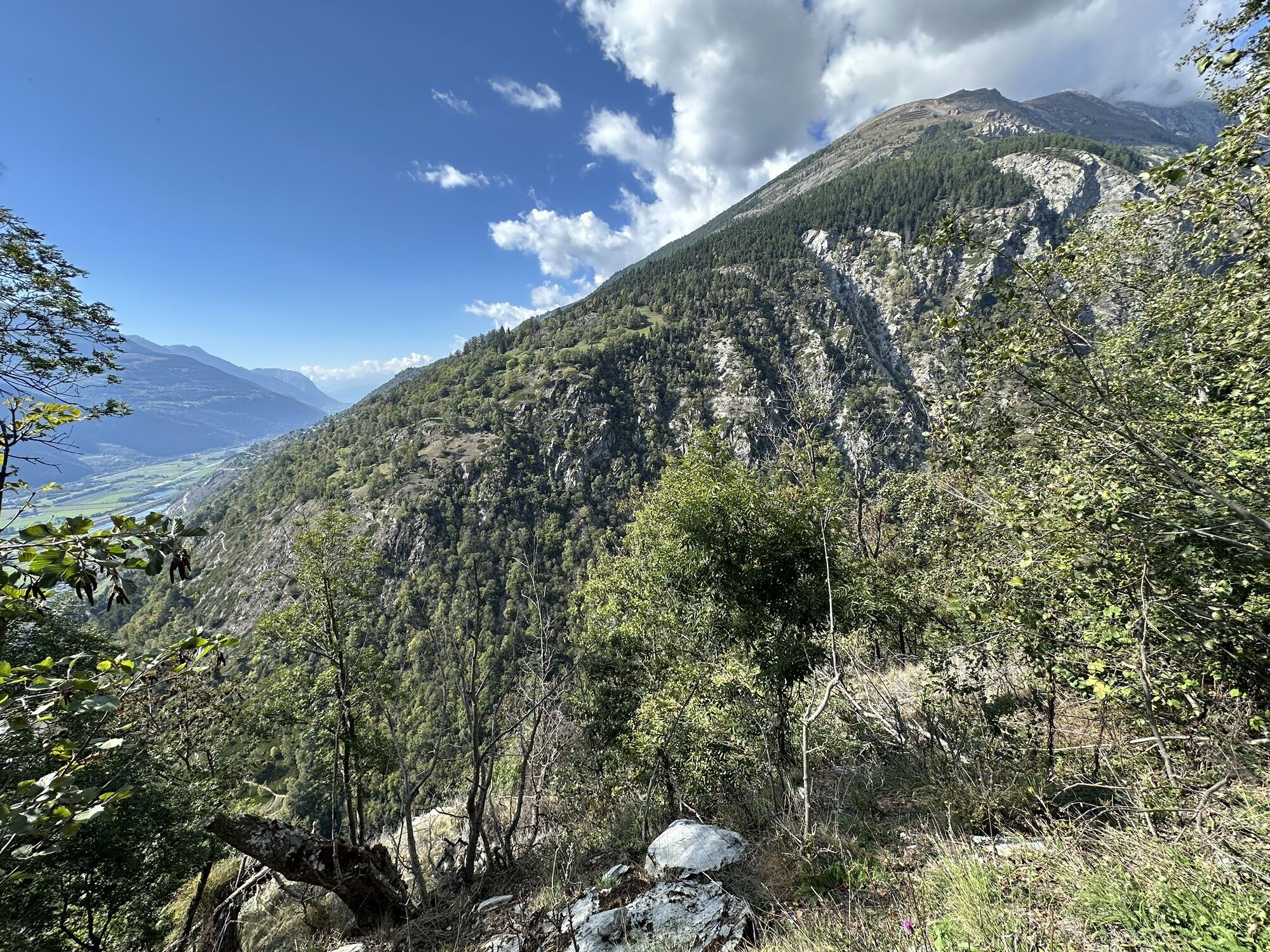
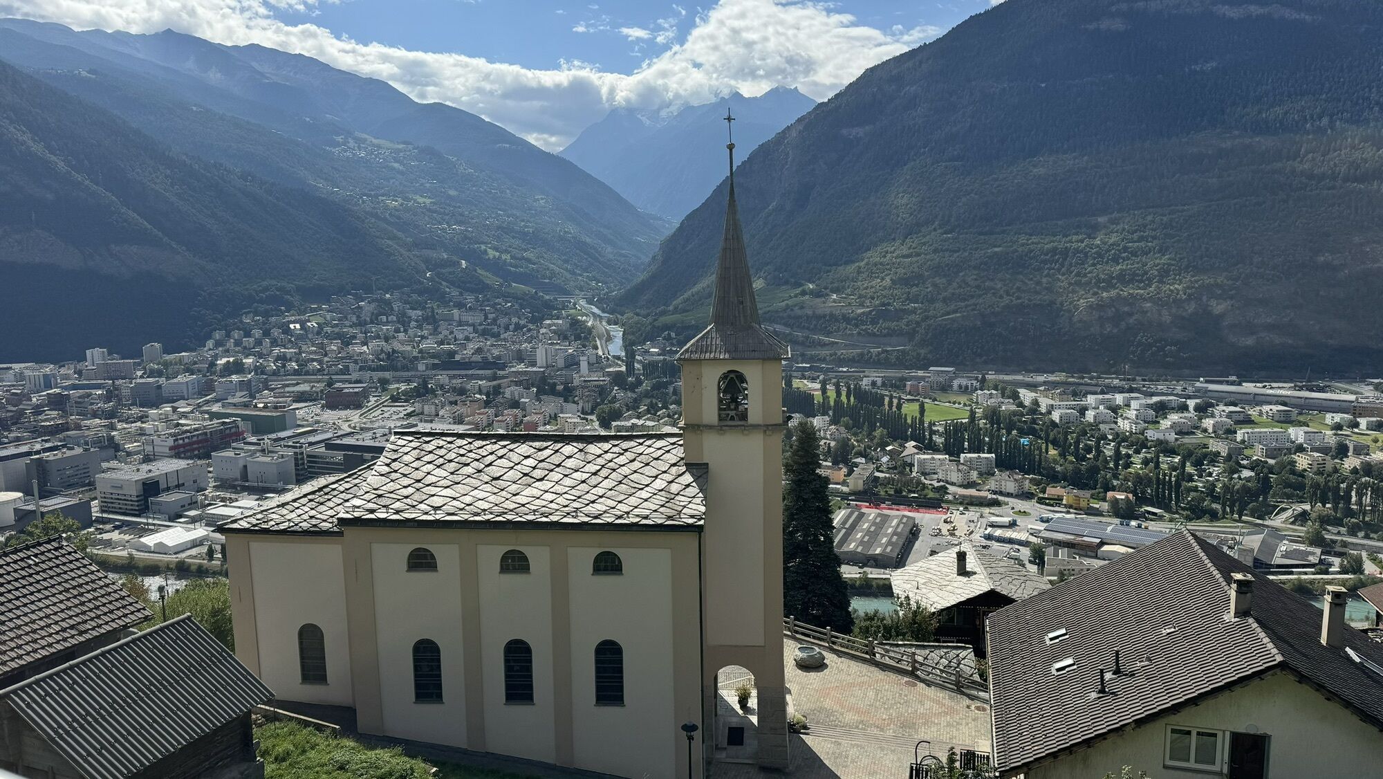
The hike takes you along two historic irrigation channels of Valais. To enable agriculture on the dry south slope, sufficient irrigation of the slopes had to be ensured. Thus, around 20 “Suonen” were created, water ditches that transport the precious water from the mountain streams of the Baltschiedertal through the canals onto meadows and orchards. Many of the irrigation systems are still in operation today. The hike leads from the village of Ausserberg to the uppermost Niwärch water channel.
Along the Niwärch Suone, you reach the wild romantic Baltschiedertal via a very narrow and exposed path. There, the mountain stream is crossed to walk back along the Gorperi Suone on the other side of the valley through several small tunnels to Eggerberg. You can return to the starting point either on foot via the South Slope hiking trail or by train.
Áno
Sturdy footwear, weather-appropriate clothing, hiking poles if necessary, water
This hike is not recommended in rain. Sure-footedness and a head for heights are essential.
From the Geneva direction, follow the A9 to Cantonal Road 9 in Turtmann. Then follow the village road to Ausserberg.
Bus stops and the train station are located in the center of Ausserberg.
Plant enthusiasts will find a medicinal plant garden in Ausserberg with around 40 different medicinal plants that are processed into creams and tinctures.
Webové kamery z prehliadky
Obľúbené výlety v okolí
-
4,0
Rundwanderung Lötschenpasshütte
strednáTuristika 12,2 km -
5,0
Moosalp Panoramaweg
svetloTuristika 6,36 km -
4,7
Lötschentaler Höhenweg
svetloTuristika 9,17 km -
5,0
Rundwanderung Anenhütte
strednáTuristika 10,2 km -
5,0
Restipass
Turistika 14,5 km -
CIRCULAR HIKE MASSEGGA SUSPENSION BRIDGE
svetloTuristika 6,44 km -
4,8
SUSPENSION BRIDGE RIEDERALP - BELALP
strednáTuristika 11,5 km -
5,0
VIA FERRATA "ALETSCH"
strednáVia ferrata 3,40 km -
4 Lakes Route Lötschental
ťažkéTuristika 12,4 km -
5,0
Panoramaweg Visperterminen
svetloTuristika 9,72 km
Turistika a stopovanie


Nenechajte si ujsť ponuky a inšpiráciu na ďalšiu dovolenku
Vaša e-mailová adresa bol pridaný do poštového zoznamu.