







LÖTSCHBERG SOUTH RAMP HOHTENN - NATERS
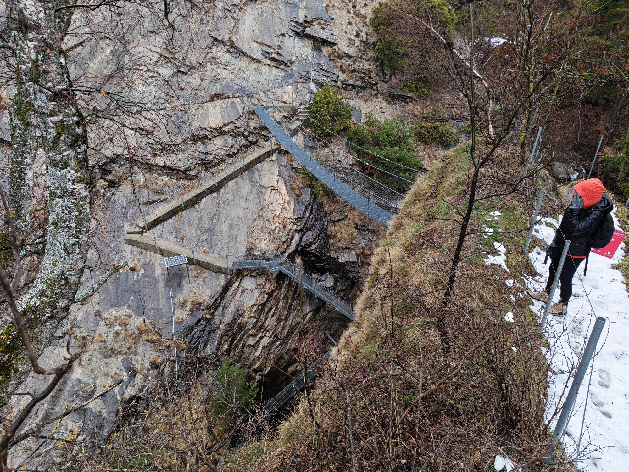
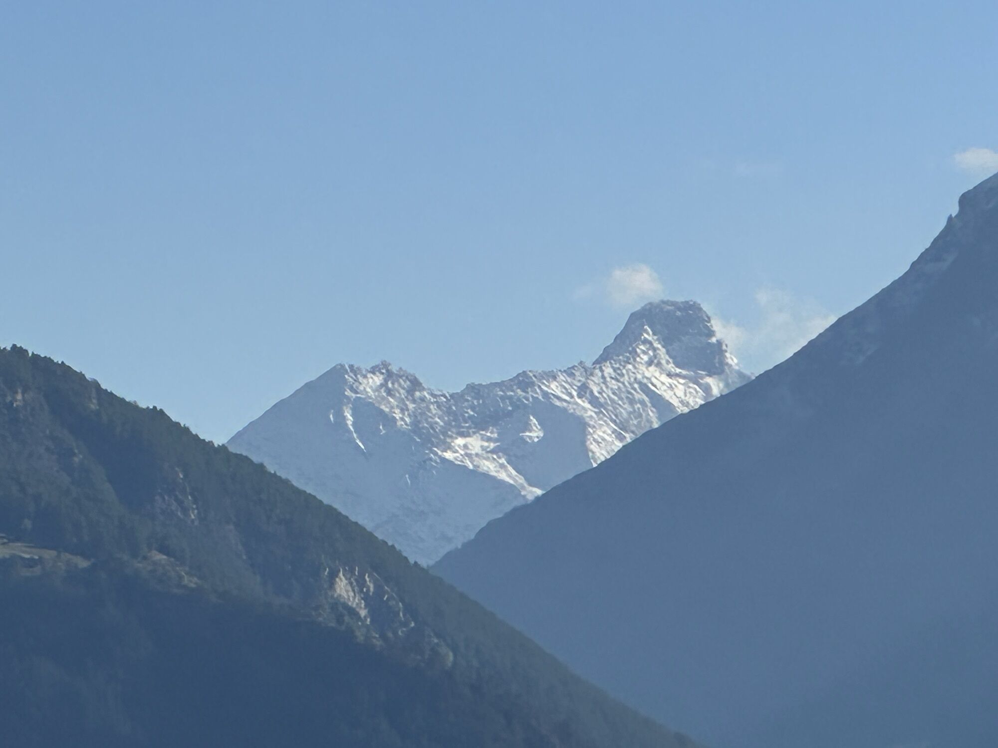
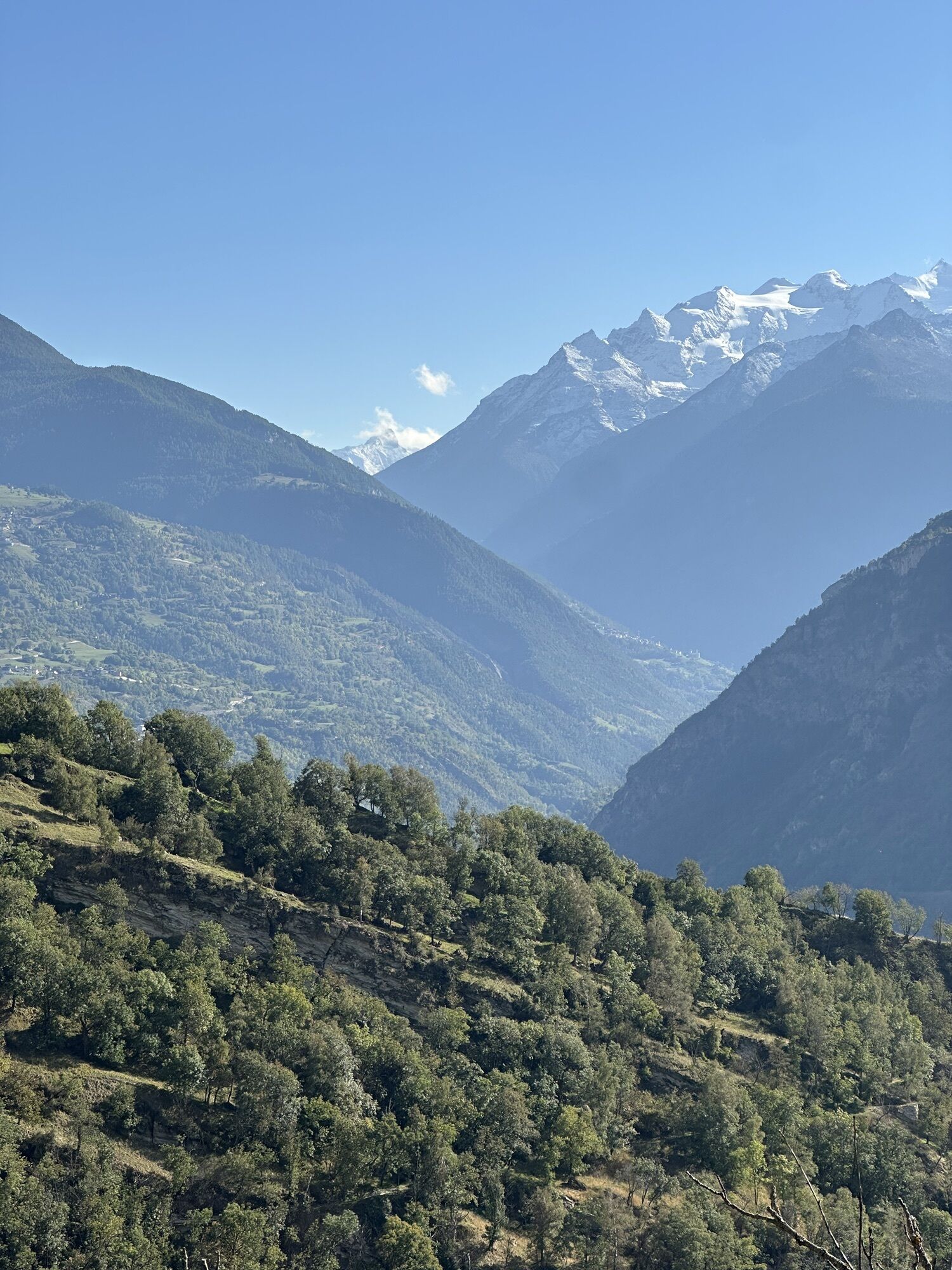
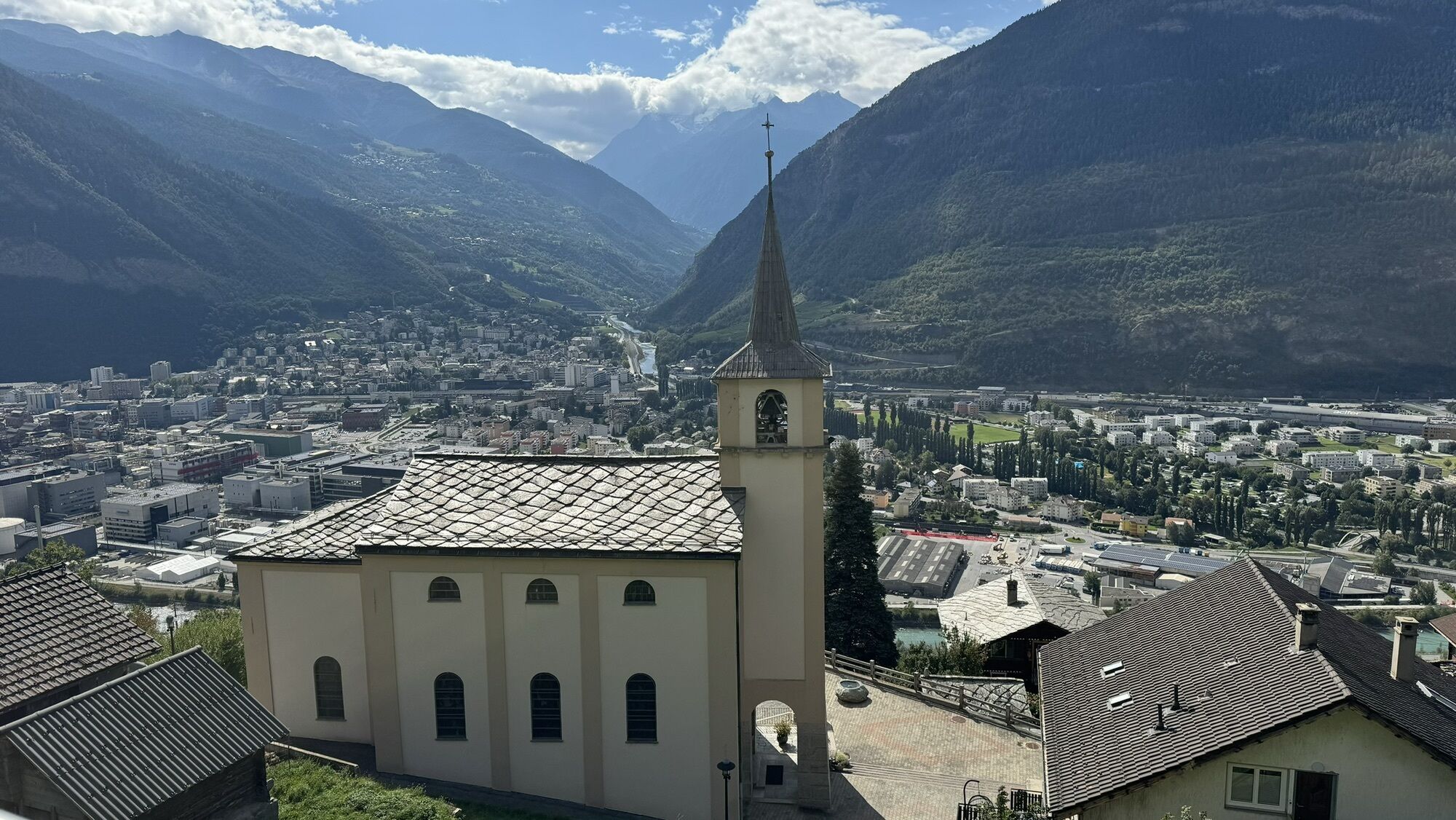
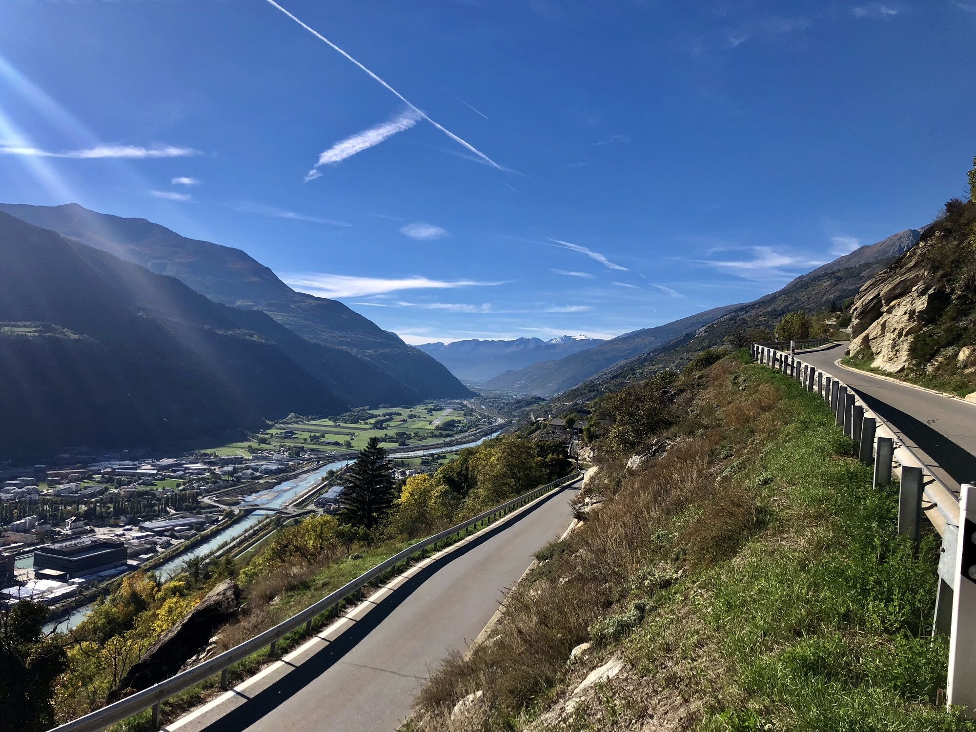
The “Lötschberg”, as we call the BLS railway here, is one of the most important feeder railways into the Upper Valais. The Lötschberg south ramp can be walked from Hohtenn to Naters. In Naters, the new...
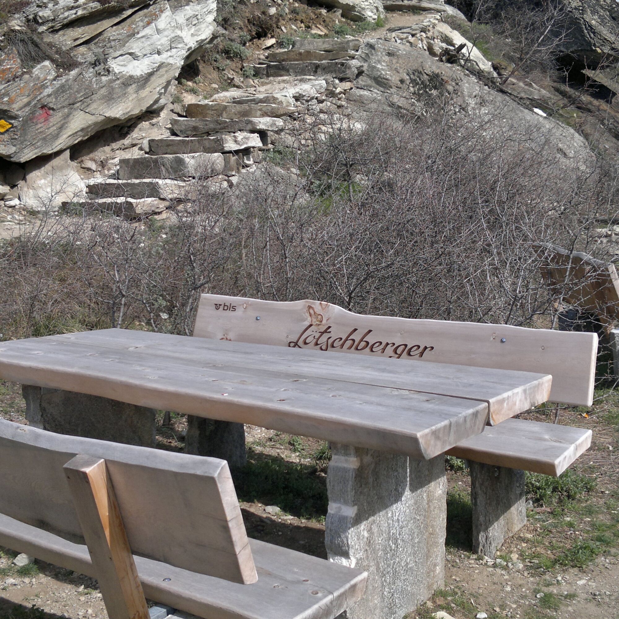
The “Lötschberg”, as we call the BLS railway here, is one of the most important feeder railways into the Upper Valais. The Lötschberg south ramp can be walked from Hohtenn to Naters. In Naters, the new “Lötschberger” path leads to the guard museum and the fortress.
For the complete route of the Lötschberg from Hohtenn to Brig, you should allow around 8 hours of hiking time.
The route can also be divided into several shorter stages.

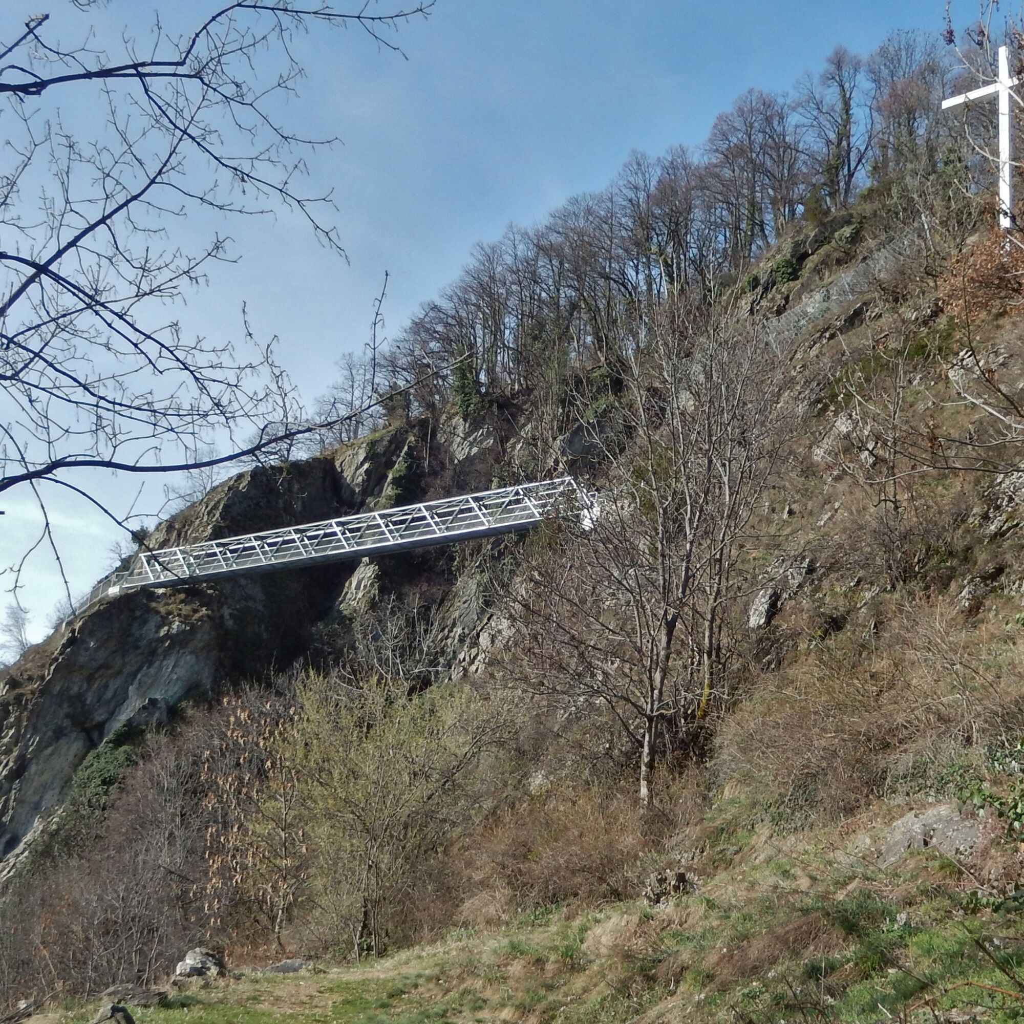
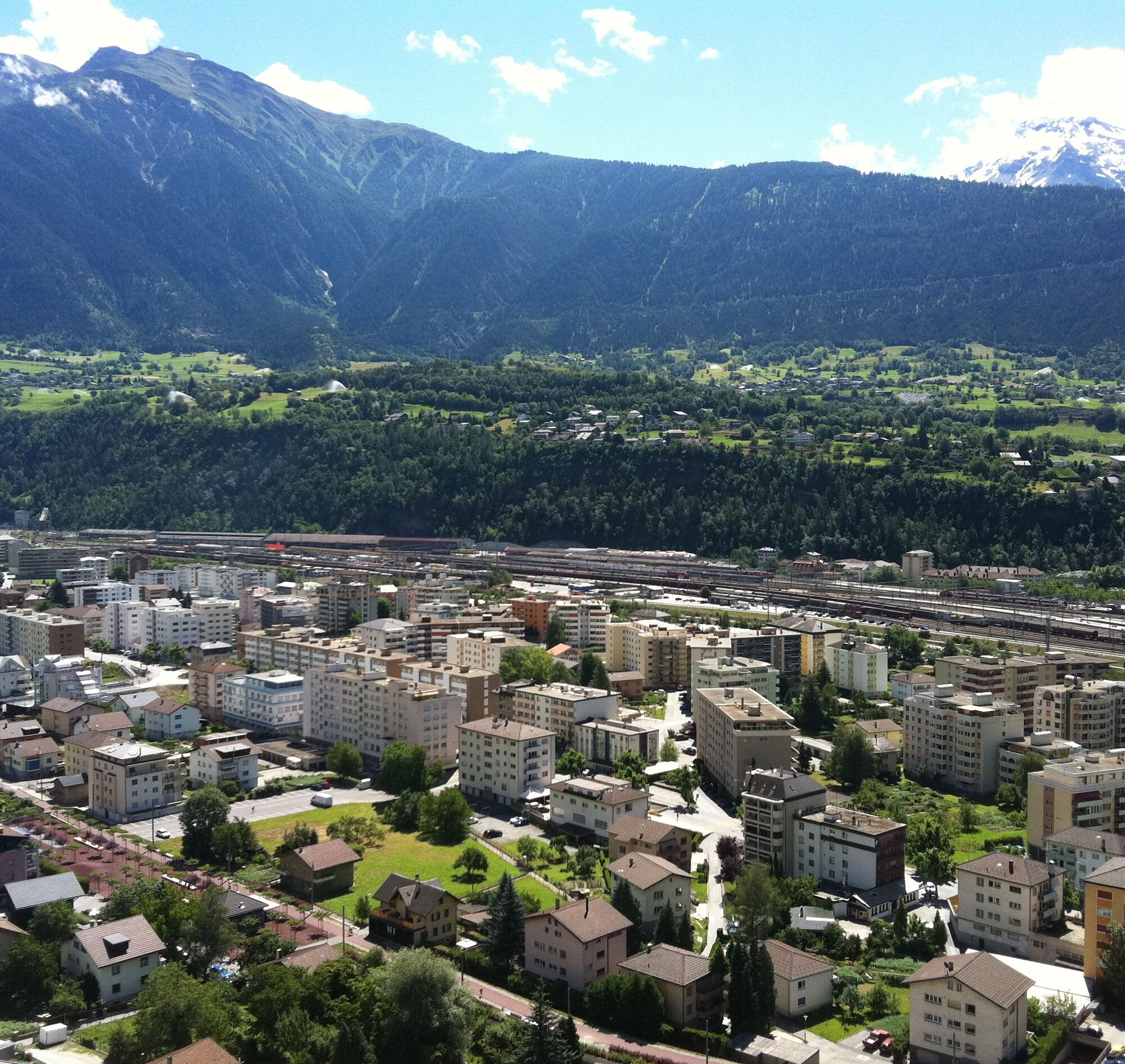
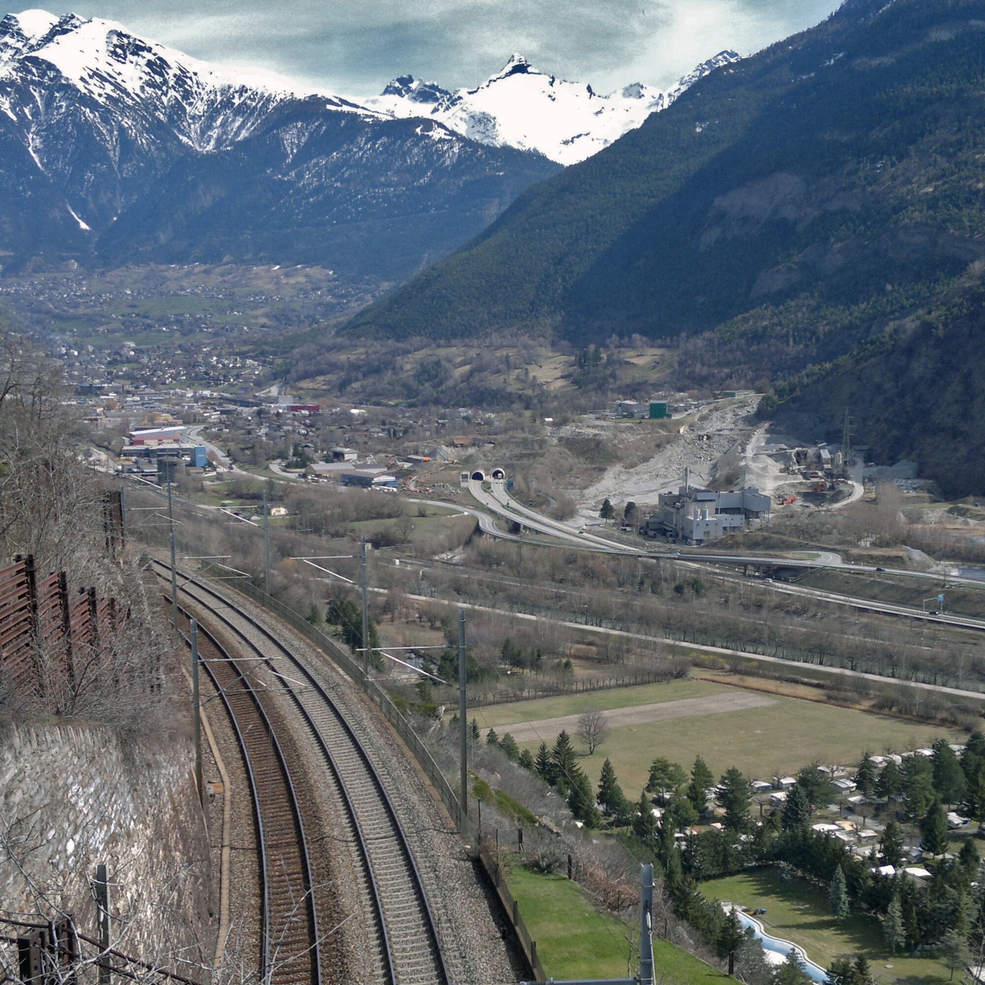
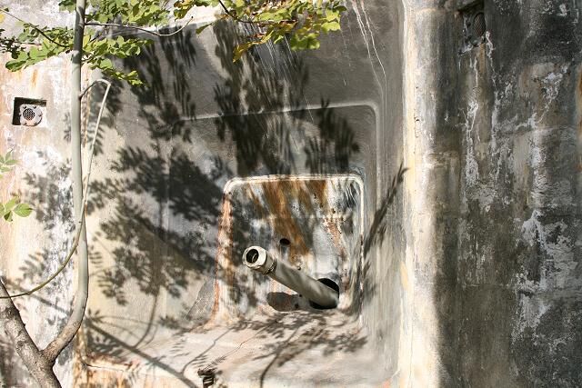
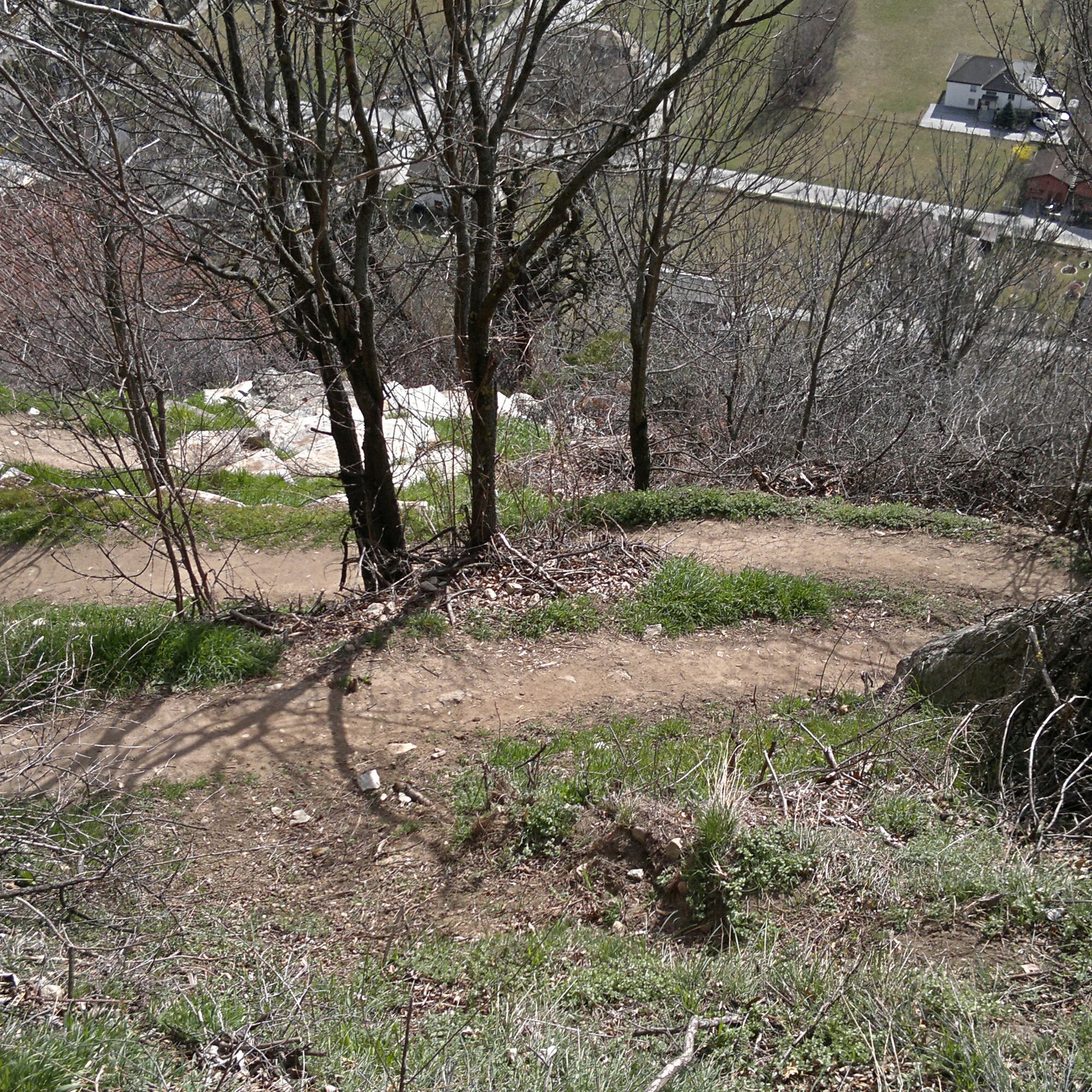
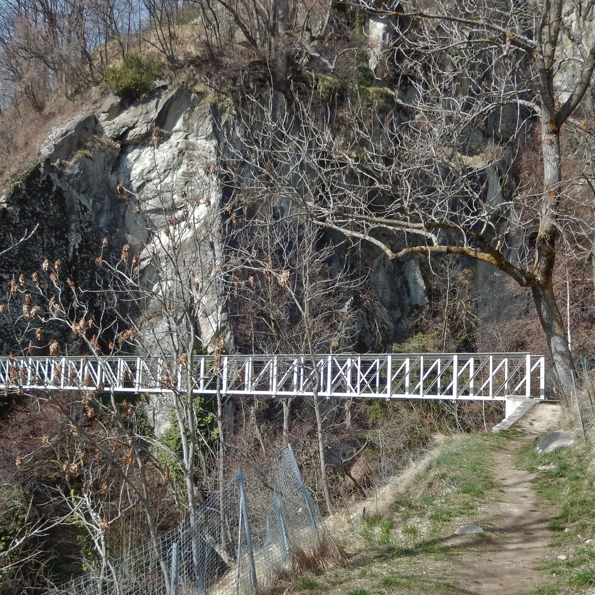

Hohtenn - Ausserberg - Eggerberg - Lalden - Naters
Áno
Sturdy footwear, weather-appropriate clothing, sun and rain protection, as well as sufficient supplies of food and drinks are recommended, especially since there may be no places to stop or shop open. Although the path is very well marked throughout, for safety reasons you should always carry a suitable hiking map. Take poles or other aids with you.
Despite the “unmissable” marking of the hiking trails, we recommend always carrying a suitable hiking map for safety reasons, so that you can quickly find a safe area, for example in the event of a thunderstorm or an emergency.
Especially in autumn, note that leaves lying on the ground can hide unevenness, roots, stones, or holes in the path. Trees can still fall or branches can drop after storms. Especially in adverse weather conditions, natural paths may have muddy and slippery sections. You should expect such path disturbances when you go hiking.
Not all rocks or cliffs are secured with ropes or railings. Surefootedness is partly required. If you think certain sections of the path are impassable for you, you should bypass them.
Arrival by car
From Western Switzerland: A9 Lausanne - Vevey, or Northwest Switzerland: A12 Bern - Vevey: A9 - Sierre: main road Sierre - Brig
From Northwest Switzerland: A6 Bern - Thun - Spiez: main road Spiez - Kandersteg (car shuttle Lötschberg tunnel) - Goppenstein - Gampel - Brig
From Eastern and Central Switzerland: Andermatt - Realp (year-round car shuttle Furka; in summer over Furka Pass) - Oberwald - Brig
From Ticino (in summer): Airolo - Nufenen Pass - Ulrichen – Brig
Or via Centovalli – Domodossola – Simplon Pass – Brig
From Italy (Aosta, Mt. Blanc Tunnel): Aosta - Grand Saint Bernard Tunnel (in summer over the pass) - Martigny: motorway A9 - Sierre: main road Sierre – Brig
Or via Domodossola – Simplon Pass – Brig
You travel by train to Brig or Hohtenn, depending on where you want to start.
Find the SBB timetable at: www.sbb.ch
You can park your car in the parking garage in Brig. Or you can park it in the parking lot in Naters next to Migros.
- The Guard and Fortress Museum in Naters is worth a visit
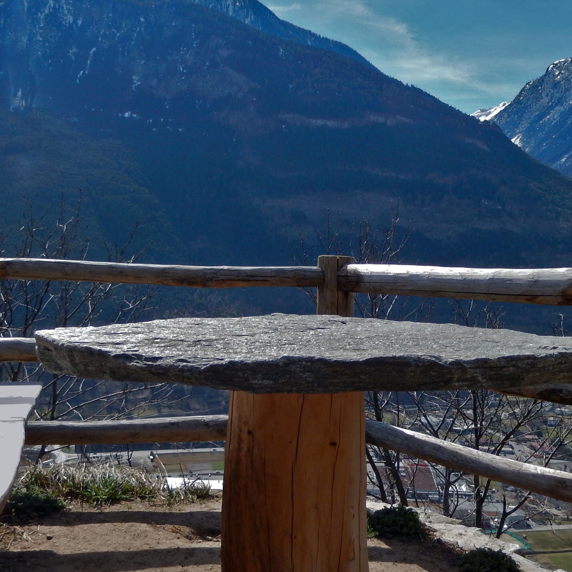
- Enjoy the beautiful and unique view over the entire Rhone Valley

Webové kamery z prehliadky
-
Eischoll - Stryggen
-
Belalp Hexenland
-
Belalp - Feriensiedlung Tschuggen
-
Jeizinen - Feselalpe
-
Termen
-
Air Zermatt - Station Raron
-
Air Zermatt - Station Raron
-
Rothorli
-
Air Zermatt - Station Raron
-
Eischoll Dorf
-
Restaurant Üflängen
-
Trächu Hittu / Untere Feselalpe
-
Obere Feselalpe
-
Rosswald
-
Stockalperschloss
-
LGJ Bergstation
-
Rosswald
-
Rosswald
-
Rosswald
-
Rosswald
-
Rosswald
-
Heidabahn Talstation
Získajte prehľad
Vždy naživo na mieste s viac ako 9 500 webovými kamerami. bergfex Ako používateľ Pro si teraz môžete pozrieť príslušné webové kamery pre mnohé zájazdy v aplikácii zájazdy z. Môžete si tak priamo prezerať aktuálne podmienky.
Obľúbené výlety v okolí
-
5,0
Moosalp Panoramaweg
svetloTuristika 6,36 km -
4,8
Lötschentaler Höhenweg
svetloTuristika 9,17 km -
5,0
BELALP - SPARRHORN
ťažkéTuristika 11,2 km -
4,8
SUSPENSION BRIDGE RIEDERALP - BELALP
strednáTuristika 11,5 km -
5,0
Restipass
Turistika 14,5 km -
CIRCULAR HIKE MASSEGGA SUSPENSION BRIDGE
svetloTuristika 6,44 km -
4,0
Höhenwanderung Rosswald
svetloTuristika 6 km -
5,0
Panoramaweg Visperterminen
svetloTuristika 9,72 km -
SUONEN CIRCULAR HIKE GREDETSCHTAL
strednáTuristika 7,45 km -
5,0
VIA FERRATA "ALETSCH"
strednáVia ferrata 3,40 km

Turistika a stopovanie


Nenechajte si ujsť ponuky a inšpiráciu na ďalšiu dovolenku
Vaša e-mailová adresa bol pridaný do poštového zoznamu.





